





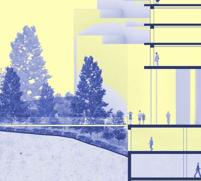


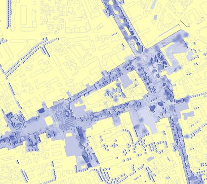
This portfolio consists of visual material representing the projects I have worked on.
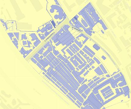
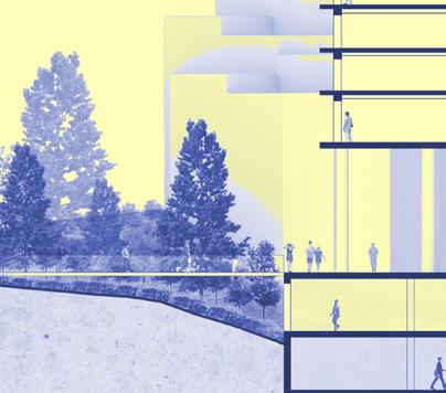
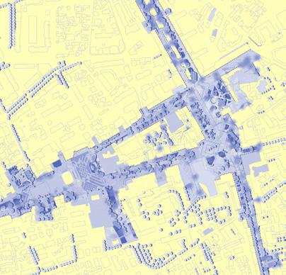
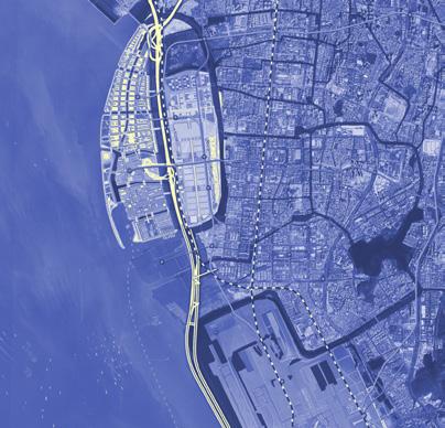
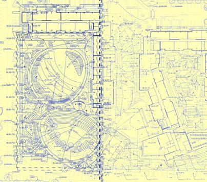
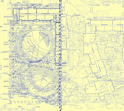
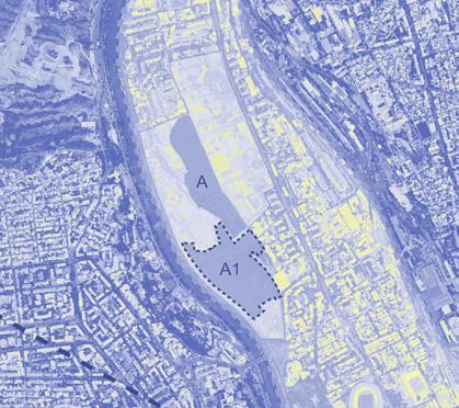
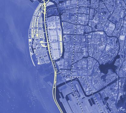
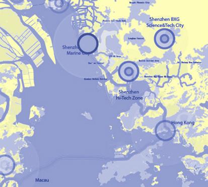
This arrangement is also a reference to the practice of SI (Situationist International) and in particular to the visual by Guy Debord: THE NAKED CITY
It includes works in architectural design related to urbanization, landscape design, and academics.
The projects in this portfolio have diverse design characteristics acquired over the years.
Each project is a presentation of the summarized quality achieved individually and/or through collaboration with professional disciplines.
Sets of categories represent the expanded context under which each project falls.
This structure underscores the integrity of the architectural design discipline and its principles across multiple scales.
Each theme serves as a tool for a detailed description of the constituent parts generated by project qualities and categories.
What unites them is the structural principle, which is a fundamental practice of the design realm
6 projects
15 categories
23 themes 5
about
resilient infrastructure integrative mapping adaptive amplification narrative & atmospheres testing grounds project list
landscape architecture native plants ecological planning
cv & bio spatial planning cultural heritage open source mapping
urban landscape ecological urbanism smart cities
media literacy visual storytelling spatial narrative spatial desgin architecture urbanism
Transitive relationships
Dynamic properties
Activity sequence
Coordination points
Precision and stability
Route 3.0
Open Source Mapping
Node Garden
Open Platforms
Agile Deployment
Synthesized Link
Overlaid Islands
Eco-Junctions
Landscape Rooms
Urban Flow
Narrative Construction
Contextualization
Tracing Experience Processing Density Linked Fields Diffused Centrality
Tbilisi/Georgia
ltavzarashvili@gmail.com | +995 592424411
Education
2015-2020 B.Architecture Abdullah Gul University [Kayseri, Turkey]
2016-2017 BSc. in Architecture University of Malaya [Kuala Lumpur, Malaysia]
Professional Practice
2022-2024 Project Manager Ruderal [Tbilisi, Georgia]
2020-2022 Architect Artstudio Project [Tbilisi, Georgia]
2018 Urban Design| Intern Guallart Architects [Barcelona, Spain]
2018 Site Architect| Intern MBG Construction [Tbilisi, Georgia]
2017 Curator/Intern Neue Artisans [Kuala Lumpur, Malaysia]
Teaching Experience
2024- Lecturer Free University [Tbilisi, Georgia]
2023- Lecturer University of Georgia [Tbilisi, Georgia]
For coordination and management, I use Google Services, Miro, Asana, Harvest, Clockify.
As the overarching theme for my practice is multiscalar design, to me it matters: how academy is linked with this process, how politics work in terms of shaping our environment, how market behaves to provide necessary materials for realization of projects, how all theses things interdepend on each other in a digital realm. For design process, I model with Rhinoceros and Grasshopper, alternatively with Blender, 3Ds Max; produce with complete array of Adobe Suite, represent with V-Ray and Lumion, document projects with AutoCAD and Revit.
Languages
Georgian native
English full professional fluency
Turkish working proficiency
Dutch elementary Russian working proficiency

I am currently based in Tbilisi, Georgia where I pursue my practical and academic disciplines. Traveled across continents and gained a global educational background. Continued changing environment while working on projects in different parts of the world.
“Also know as the “Dymaxion Map,” the Fuller Projection Map is the only flat map of the entire surface of the Earth which reveals our planet as one island in one ocean, without any visually obvious distortion of the relative shapes and sizes of the land areas, and without splitting any continents.”
Project overview
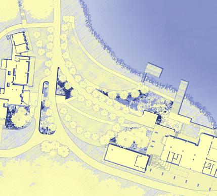
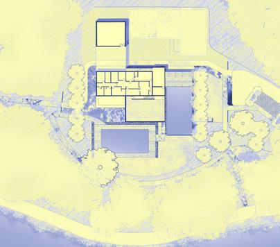
This project has evolved around various themes to promote a symbiotic relationship between practice and product. It offers effective approaches for creating detailed design documentation for construction, encompassing 3.5 hectares of campus landscape projects.
The process is closely intertwined with the team’s workflows and methods for addressing this task. The studio dedicated a total of 1000 hours to transition from schematic design to construction documentation. The fundamental basis for this approach is to have an adaptable, flexible, and coordinated way of working both within and outside the team.
Addressed Themes
planning the process of stable operation in time
Project Manager with Ruderal

#Landscape Architecture
Planning
Plantings
A project and its production involve multiple structures that support activities after completion. Each structure has its own organizational standards, which only matter at the points of connection to the rest of the structures. Thus, the approach and product of this project are responses to the context of multiple impacts and requirements coming from the diversity of involved actors.
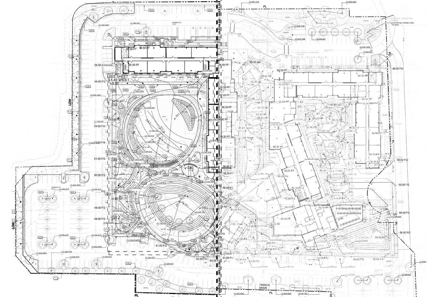
30 Access points
Site is pragmatically and strategically designed to link with the residential blocks. A key highlight of the project is its ability to seamlessly address multiple connections and complexities, creating an inclusive space for users.
This occurs at least 30 times - each time people enter and exit the building.
The result of this interchanges is the ultimate comfort and safety for active and plural land-use over time - an example of self-sufficiency.
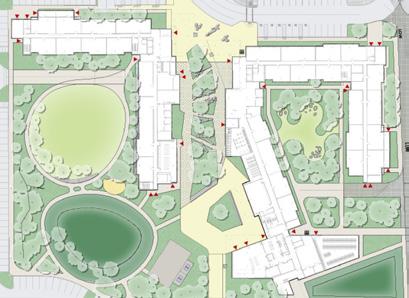
When the project involves analysis the various disciplines, each with its own rules and series of laws governing their development, it creates a pragmatic functioning environment.
This is achieved through multiple, simultaneous, and sometimes conflicting experiences.
As a result, the project delivers an experience that goes beyond just geometry and shapes, and lays a solid foundation for further development.
Project is sequentially developed into interactive and self fulfilling workflow provided below:
Ecological directory
Leveling continuity
Active covering
Critical arrangement
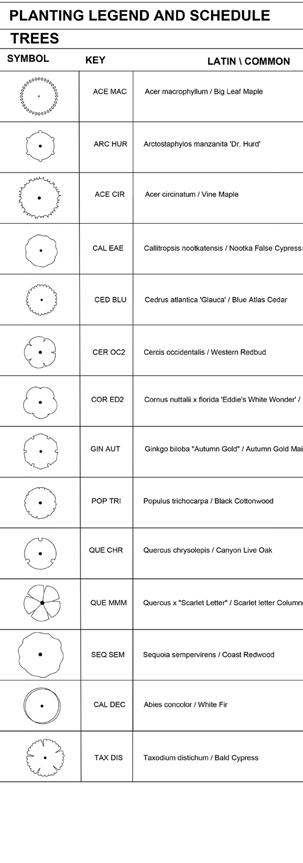
Ecological directory

Leveling continuity
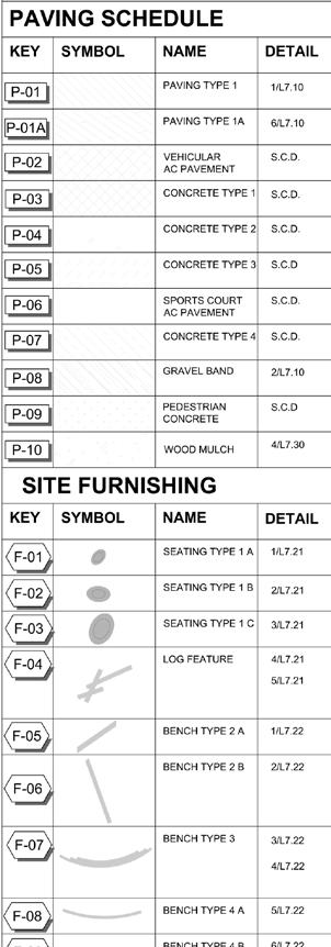
Active covering
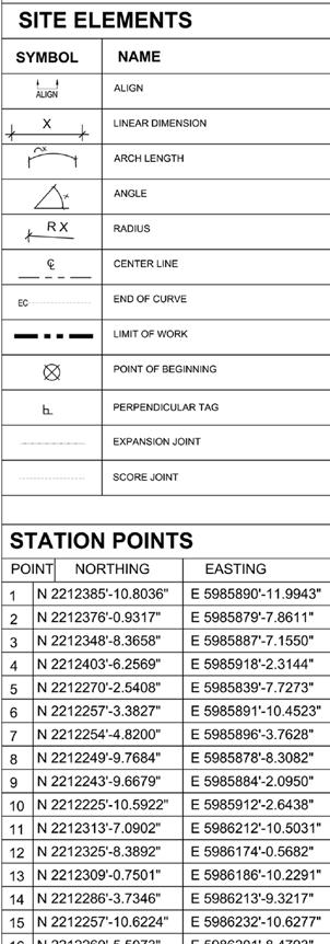
Critical arrangement
Working out a routine of selection and extraction of multiple indigenous plant species that primarily is intended for fostering locality
Creating a robust framework of controlling mechanism that takes consideration of multiple standards coordinated with adequate field professionals
Determining a set of qualified and durable materials that provide functional and aesthetic decisions to cover miltiple dynamic layers underneath
Defining a set of rules for further judgement of physical organisation of multiple connections and continuities
Planting
Repurposing of “Ecological directory“as a composition of multiple functional landscape areas which provide different kinds of physical and visual comfort.

Grading
Layers of succesive areas that form a unified shape in order to provide a purposeful flow, pragmatic retention, overall stability of levels.

Selection of the set of surface type combinations for individual conditions. Each combinations purposefully relates to the another one forming a unified package of managable areas.
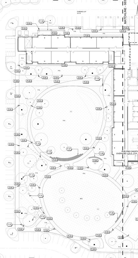
Many has been written about the relationship of multiple context. Schemes under this name make sure to quantify and strategize those relationships.

The project’s interconnected quality is represented by the story-like arrangement of individual fragments. Each frame focuses on a specific spot in the campus landscape that contains multiple categories of elements, thereby enhancing coordination.
Some fragments depict working methods with various resulting options, whereas others showcase products that utilized a combination of different design and coordination methods.
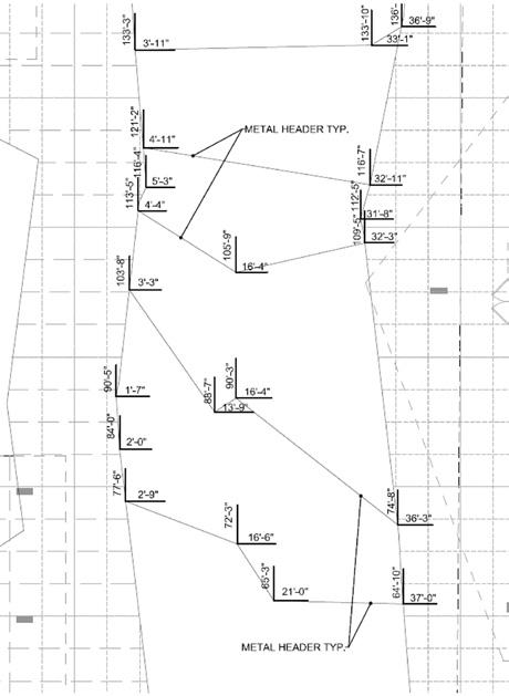
Dispositioning
Strategy of laying out functional element with regard to the idea of flexibility and precision. This way of operation provides a stable ground for further changes and development
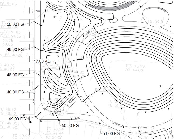
The design must purposefully manage these flows to make efficient use of them due to the resulting complexity. Arranging intersection
Each square meter has its own directional connectivity, carrying forces and materials from surrounding areas.
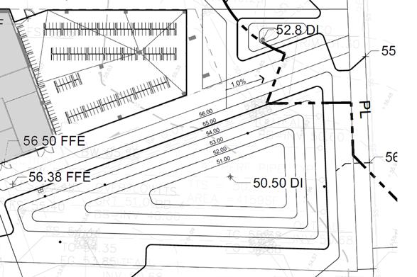

Point of reference
Complex project conditions require a unified approach for resolution. Thoughtful criteria simplify management To create a calming environment in a busy area, it’s important to balance low and high activities without compromising quality.
Fulfilling equipment on site requires dedicated storage, such as for water, to maintain a functional site.
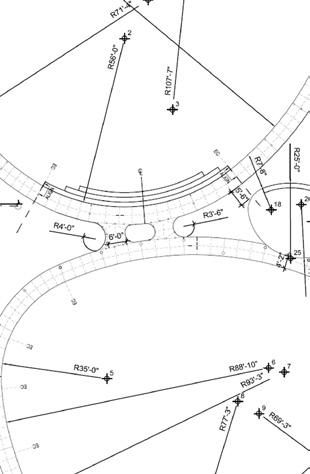
and Buffer
Sometimes it takes same landscape elements to provide different effects for complexity of uses.
In this case planting composition plays a role of defining an area or ”space” as well as it uses the same plants to culminate another active area and re-look at it from a different perspective.

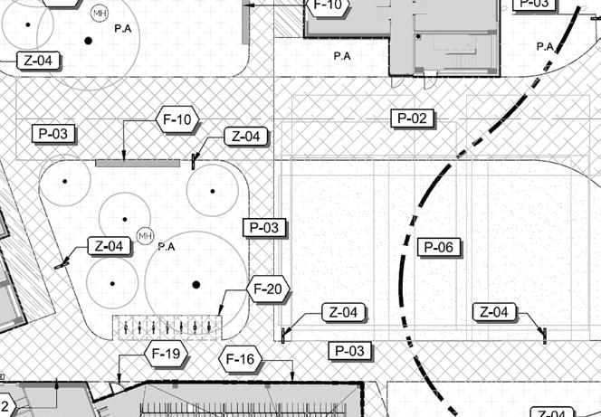
Whereas main entry for campus requires almost absolute practicality and neutral design, it can also devise to provide another kind of comfort for the ones wish to stay in the active areas.
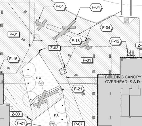
When multiple actors’ needs are involved, the project plan lays a strong foundation for various longterm uses.
Deploying and then dividing different materials creates a diverse environment.

The arrangement of materials can create a specific area for relaxation or refuge from daily activities. This contributes to a distinct yet connected environment.
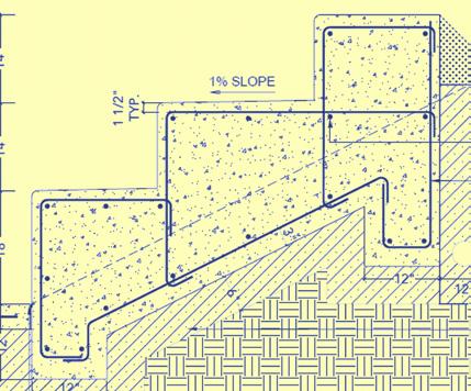
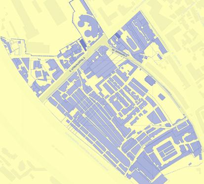
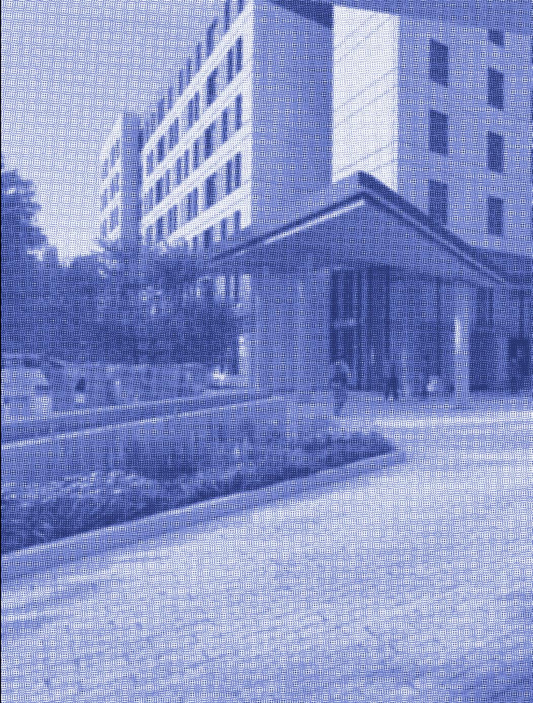
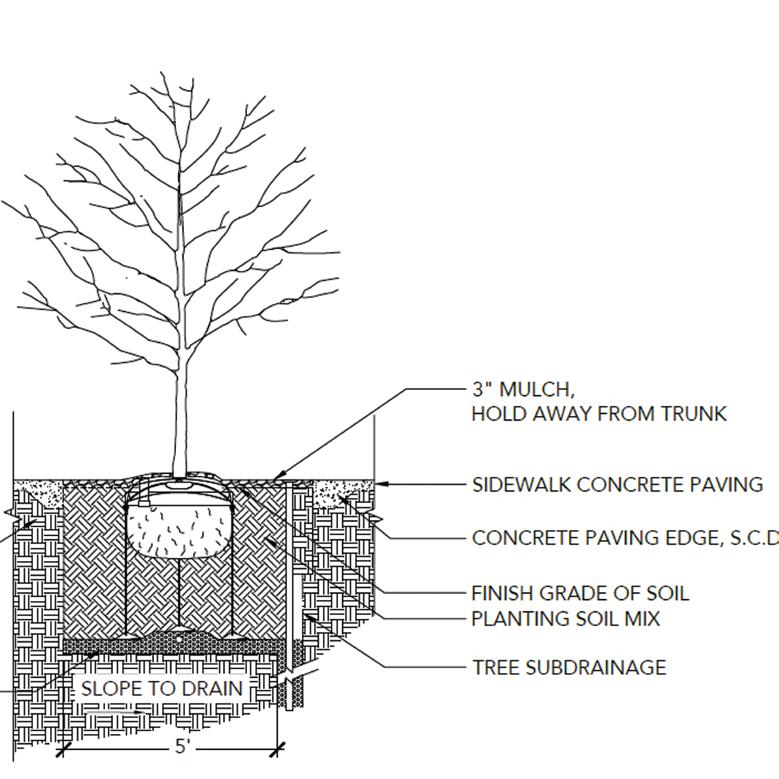
When describing project, details usually come at the end as they are the smallest representatives of design decisions. However, details provide the essential quality for the project to be realized. They act as mediators between the provided data of requirements, and intentions and argument desired from the designers.
Details part (structural/furnishing/planting) is an additional category in the project which stabilized the relationship with the two endpoints of a project.


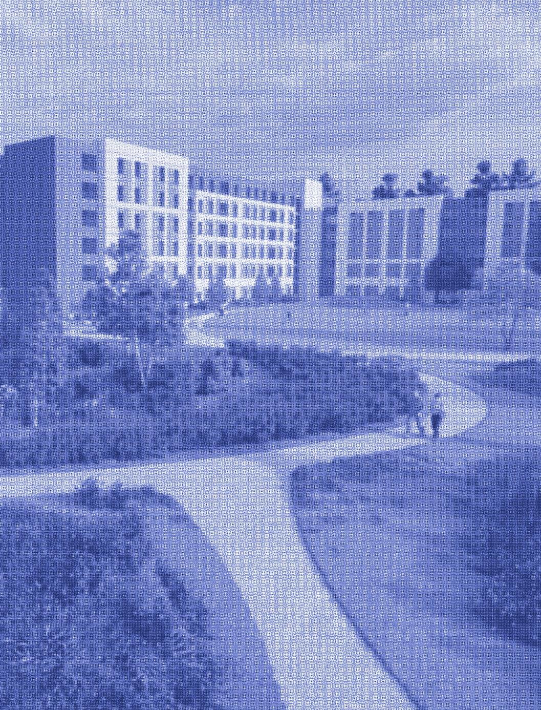
Distinctive

Abrupt edge


Project overview
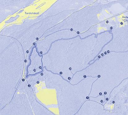
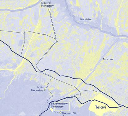
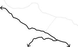
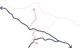
The project introduces an alternative planning method that starts with a ROUTE
This approach incorporates various scales and layers, resulting in an open-ended call to action for interventions on different levels.
The planning process involves using a variety of tools, including open-source mapping and fieldwork, to create project documentation. This framework allows for flexibility while maintaining control over the site, and establishes relationships with related locations along the routes.
formation of open-source guide based on ecological and cultural traces
#Spatial planning
Project Architect with Ruderal 2022
#Cultural heritage
#Open source mapping
Addressed Themes

As a country reaches its development quality at the point of adequate road networks and general infrastructure, there always remains a memory (sometimes nostalgic reminisce) of historical routes once existed at the place.
Re-introducing the old routes as a regenerative potential of the site is a solid foundation for further development

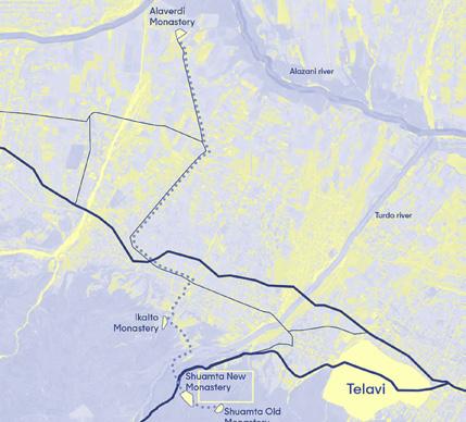
The project as a signifier is situated as a gateway of the oldest religious route, now acting as a major natural hospitality attractor.

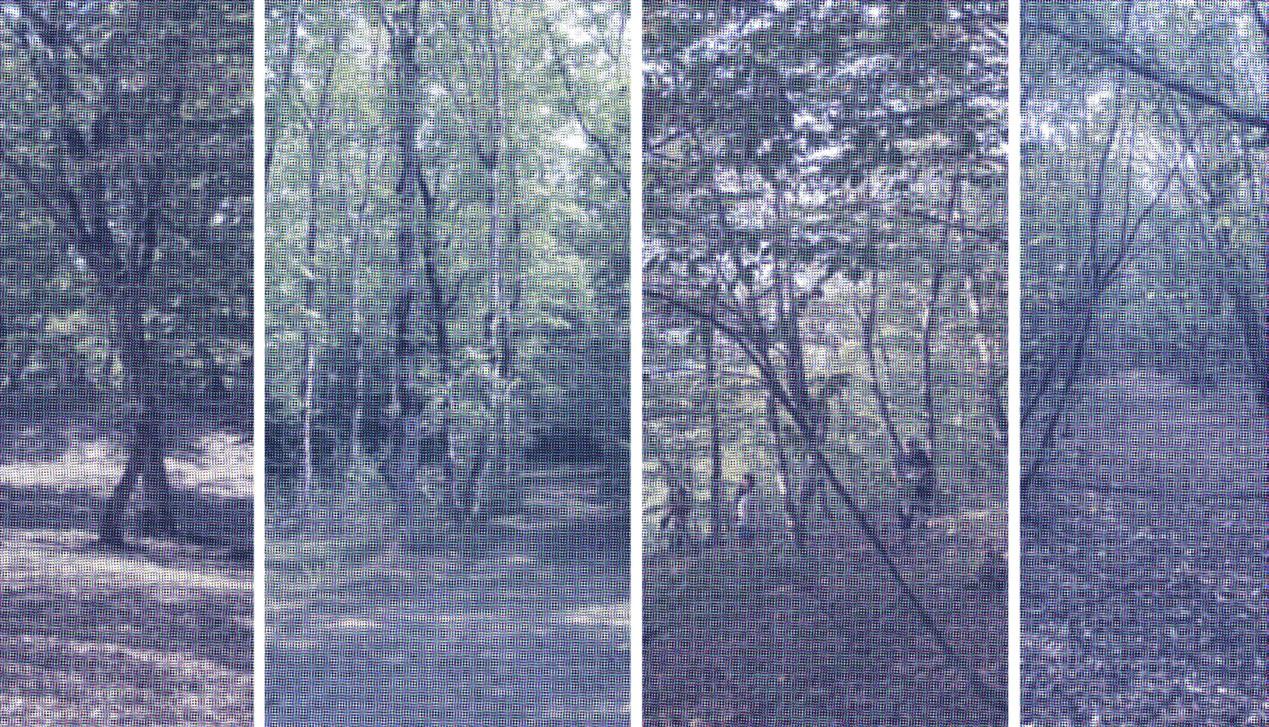
The importance of the place becomes more evident as we delve deeper into the historical records of our heritage. There are over 20 significant locations spread across a 10-kilometer trail, each with its own unique historical and religious significance. Additionally, the trail is immersed in hectares of beech forest and indigenous ecosystems along the Gombori ridge.
To capture this the project team utilized various open-source tools to initially map the trail on foot and subsequently made it available through OpenStreetMap for anyone interested.

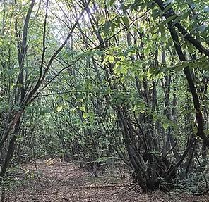

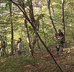
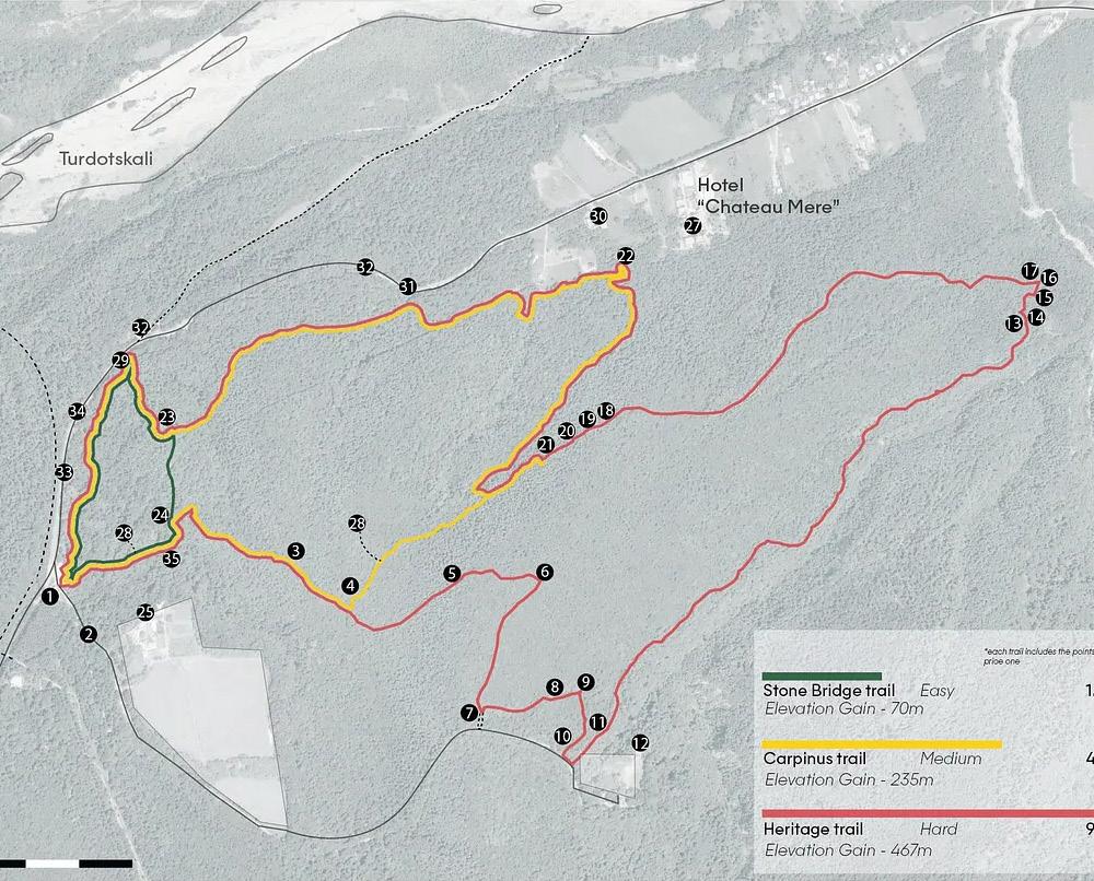
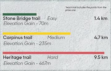
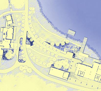
We design the project to offer a range of service options for a diverse group of visitors, with a focus on the “gateway”. The gateway acts as a station for guests with various purposes, including relaxation on the long road and active hiking around the forests.
Start/End
Apart from serving its own needs, the site also serves as an entry and exit point for the heritage trails.
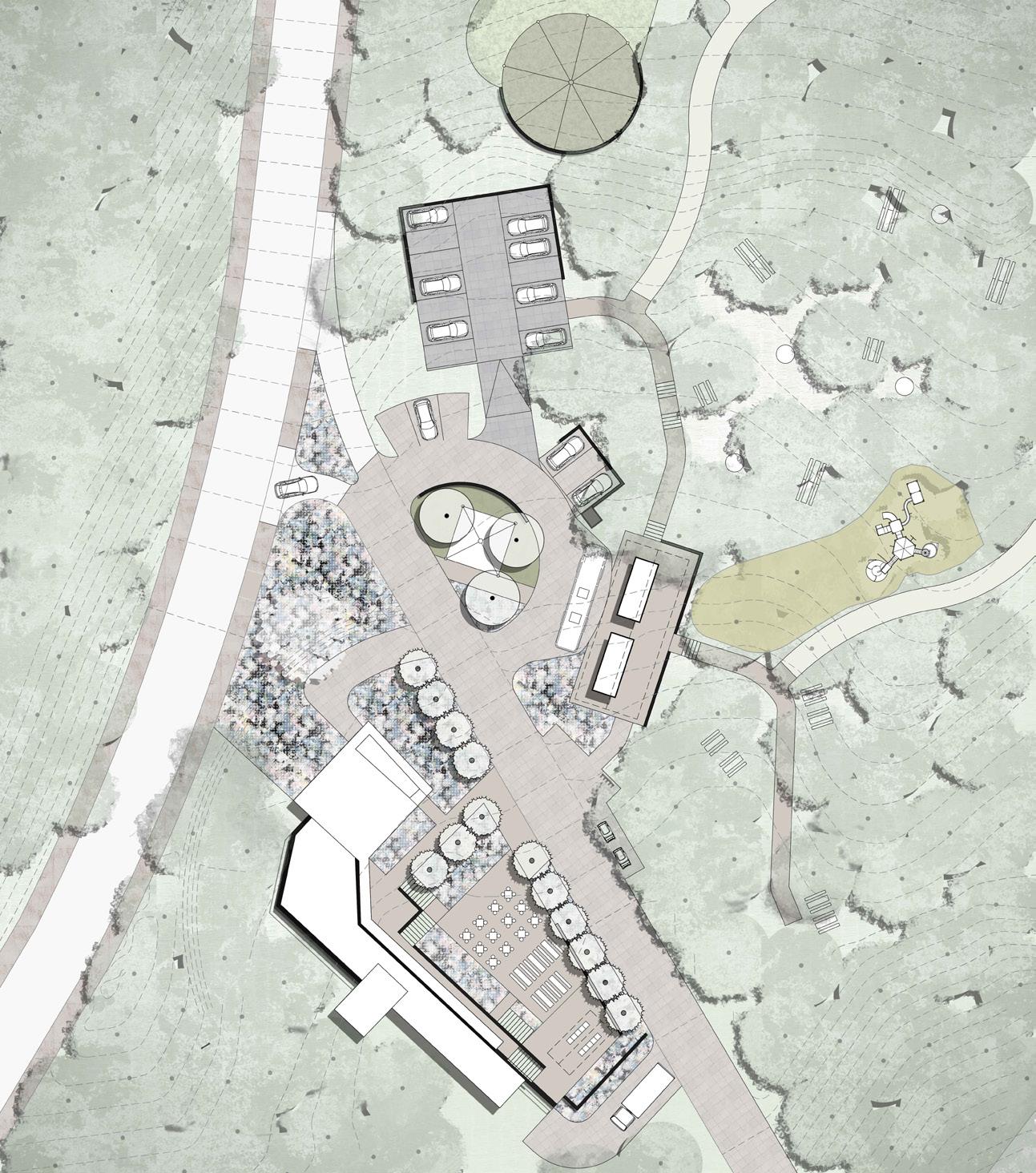
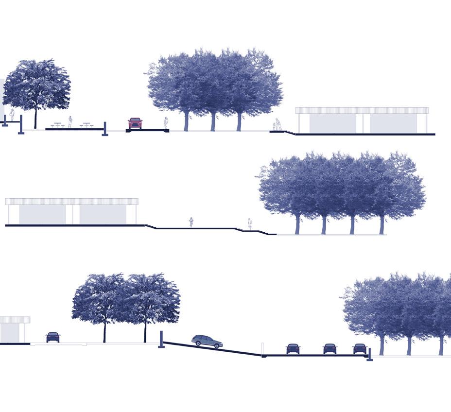
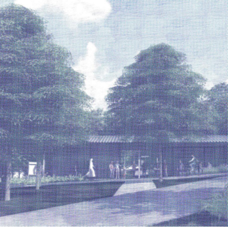
The success of the project ultimately depends on the provision of infrastructure and the technical arrangement of the materials. Each of these conditions requires safety and durability to ensure the long-term success of the project.


Project overview
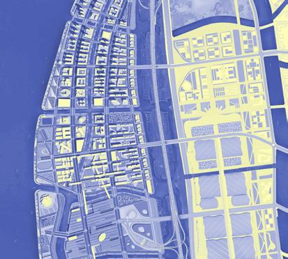
This competition entry addresses the modern requirements of formal and exclusive urban planning in post-socialist contexts. The design focuses on incorporating cultural, ecological, and technical needs to re-imagine the city’s layout and create a strategic framework.
We employed adaptive and self-sustaining systems to repurpose the project at various scales, even down to the smallest but most precise measures.
Overall, this project successfully shifts perspectives between the smallest and largest scales of landscape, urban, and infrastructural interventions.
Addressed Themes
strategic rehabilitation of public ecosystem
Landscape Architect with Ruderal

#Urban landscape
#Ecological urbanism
#Smart cities
2022

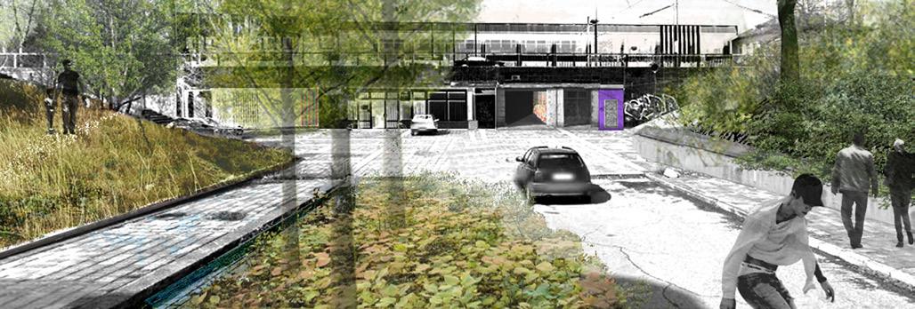
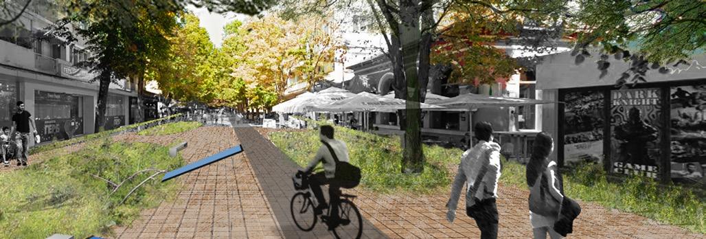
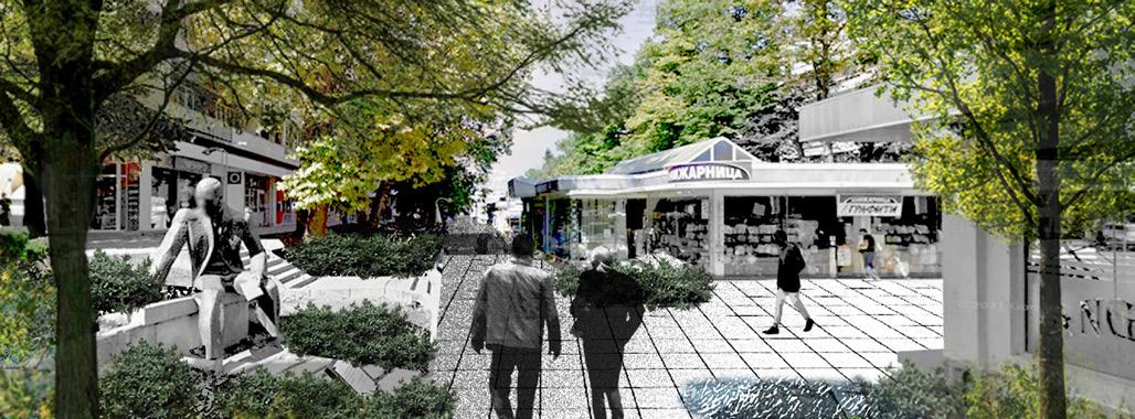
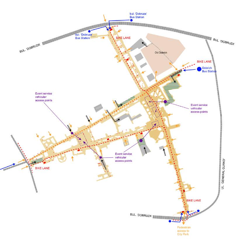
The project area developed around points of interest rather than strict geometrical patterns, despite the order dictated by socialist planning.
This shows the importance of designing components to be as open as possible while maintaining flexibility as a whole.
At a specific level, the movement of people on site is practical and direct, aligning with a comprehensive view. This adaptability remains unchanged, even if it contradicts the overall geometric harmony.
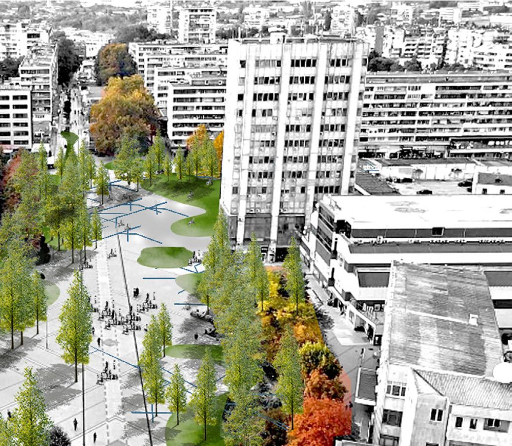
As urban development has focused on increasing density, it has compromised the importance of natural layers.
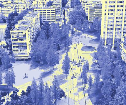
The current focus is on enriching densely populated areas with new recreational opportunities. The project proposes a natural presence in the city center, which reconfigures the settlements by maintaining ecological connections to the natural parks on the outskirts.


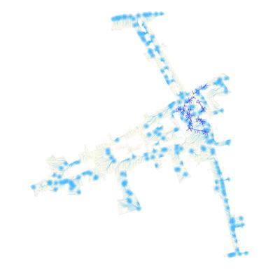
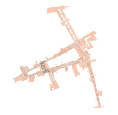
In order to maintain the stability of the landscape, the design creates various self-sufficient island systems that are appropriate for the activity levels of different areas. The areas with higher activity levels have less dense vegetation on their islands.
As a result, we achieve a new landscape with a softened atmosphere next to the more intensive areas, while creating numerous natural connections among them.
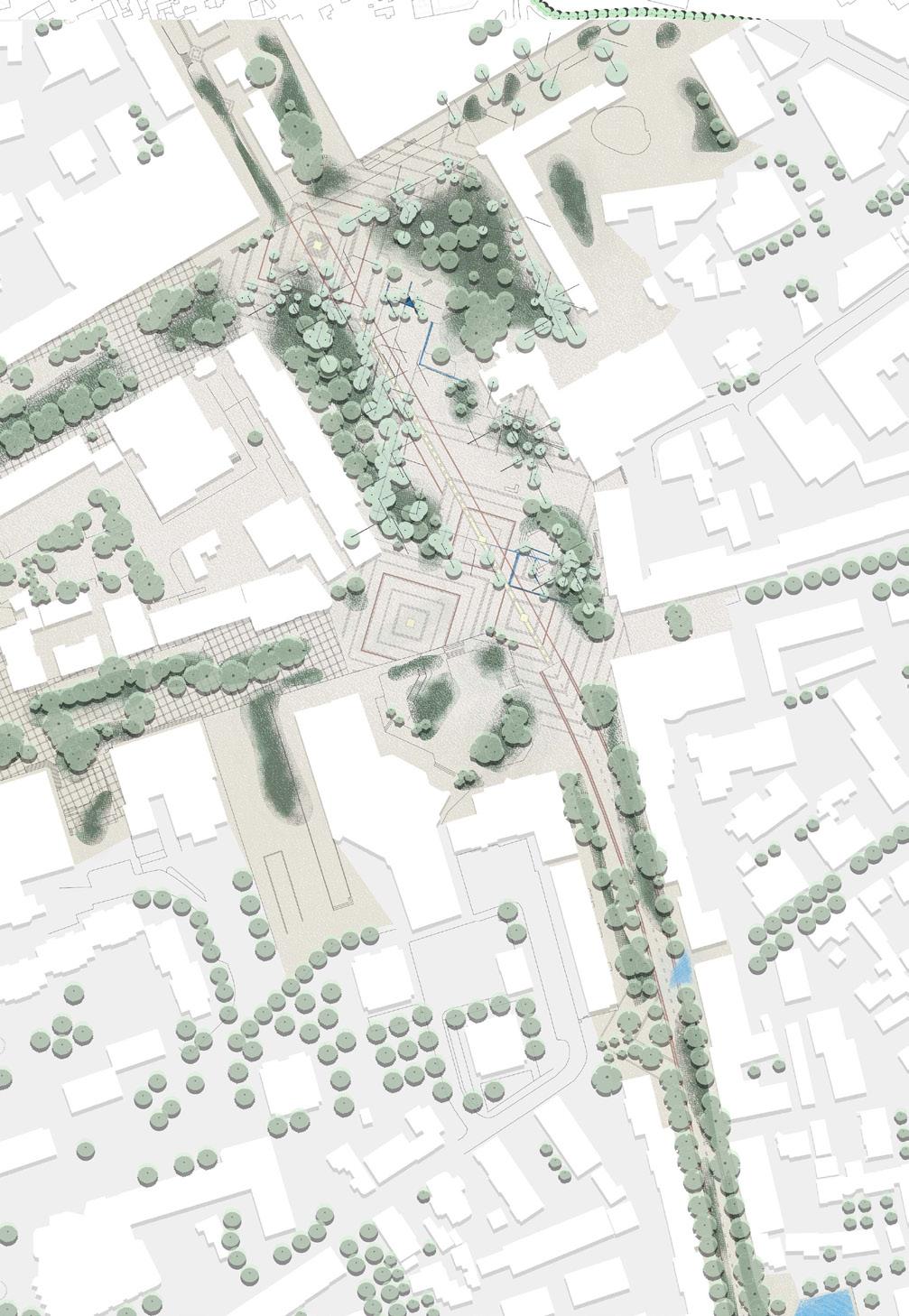
Elements Input
various independent landscape elements provided to enrich the connectivity of the overall scheme
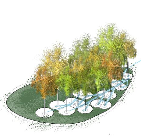
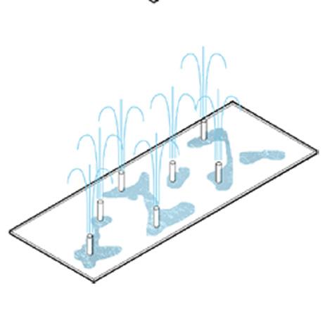
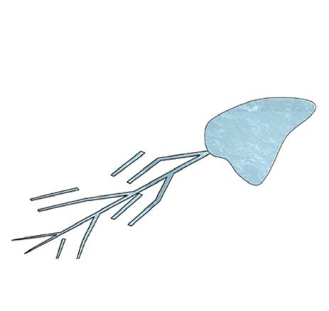

Aggregated Fabric
Result is the a form of aggregate that regenerates new spaces in the city and rehabilitated atmospheres for the residents
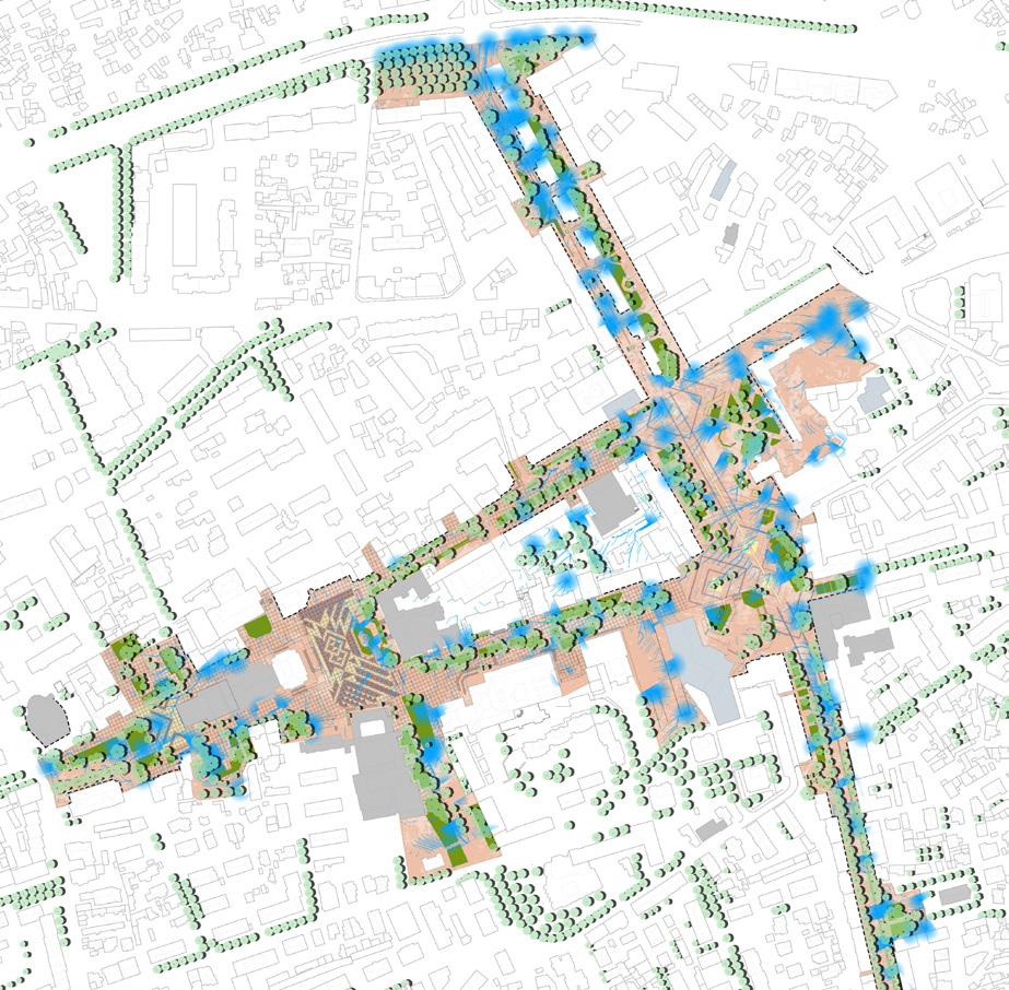
The urban intervention proposal features a flexible structure for recreational activities while also being robust enough to maintain and renew itself over time.
It maintains a strong connection with the built environment by offering several moments of clean backdrop on a daily basis.
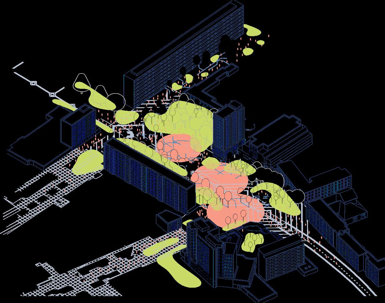

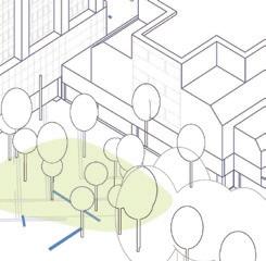
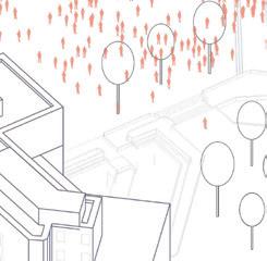

The flexible composition of various forms across the urban plan requires strong vertical linkage. By interconnecting three different intervention categories, the project creates a new urban space that includes: - retained and newly planted trees - areas cooled with water - enhanced local paving for durable use by pedestrians.
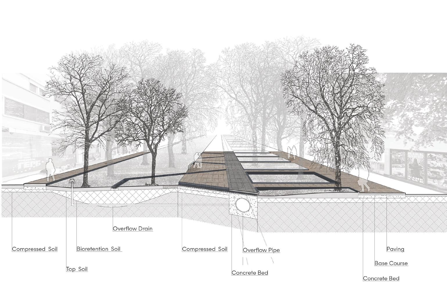

islands water stream network

Project overview
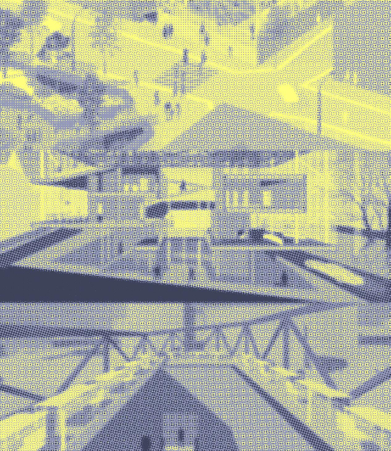
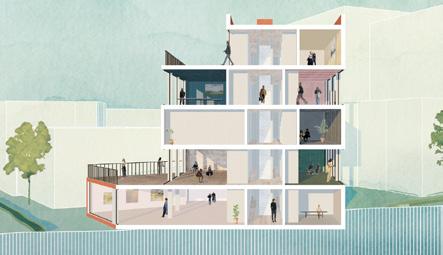
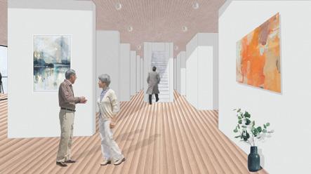
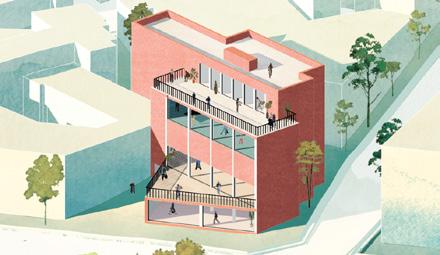
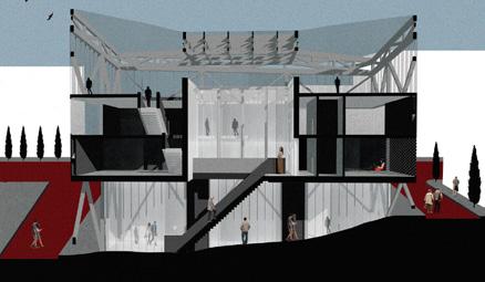
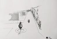
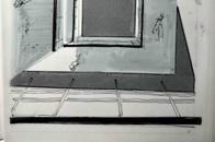
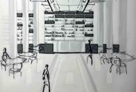
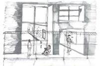
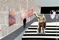
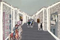
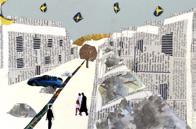
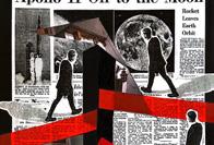
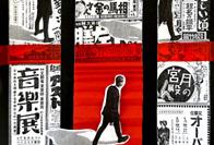
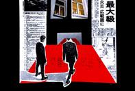
Digital tools enable students to utilize a variety of architectural storytelling techniques, improving the representation of their designs. As engaged learners, students document distinctive spatial features and then move beyond traditional methods to develop and furnish their designs with activities that animate their spaces.
On a softer skills realm the course acts as an active framework to train the students’ design standpoint to scale their narration abilities.
Addressed Themes
digital design techniques and design toolset
Course Leader with FreeUni Tbilisi
#Media Literacy
#Visual Storytelling #Spatial Narrative
2024
As digital software allows for faster design representation, students are encouraged to revisit their projects using different architectural storytelling techniques.
The variety of features outlined below establishes a solid framework and a unique perspective through which students can strategically and effectively approach their projects

user activities
space of an object
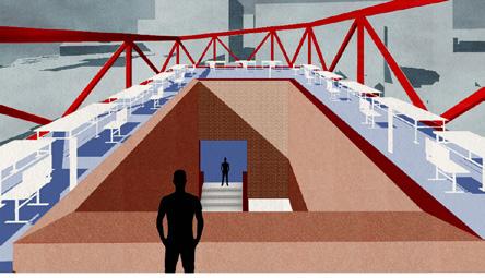
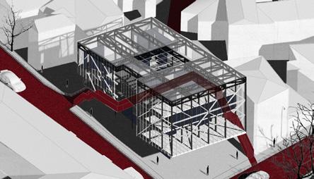
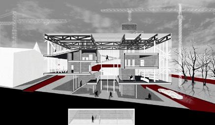
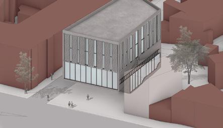
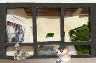
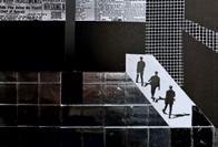
Students are processing three major techniques, as viewpoints, to understand and represent the space around them. This enables them to revisit familiar activities. While limited in their tools for each method, students learn to emphasize the essential characteristics of the space.
spatial animation
contextual narration
object in space
digital technics viewpoint assembly
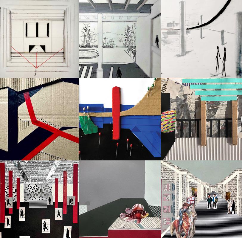
understanding of surrounding context; formal, historical, and social characteristics. Re-visiting studio design project and situating them in the urban context.
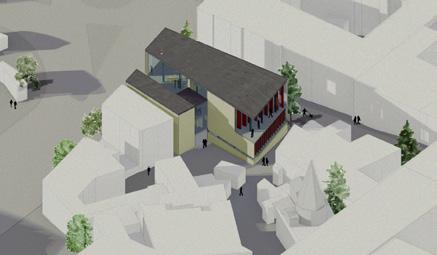


focus on a street context, activities and formal relationships from human perpective. Arranging visual technics of storytelling and re-imagining functionality within the immediate place
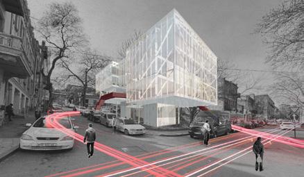
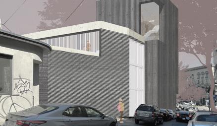

representation of a design construct in relation to the totallity of functions. Selection of emphasis on a combination of various architectonic aspects.

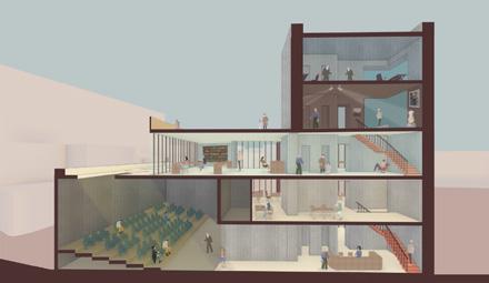

understanding interiority and focus on the intensity of the individual functions.
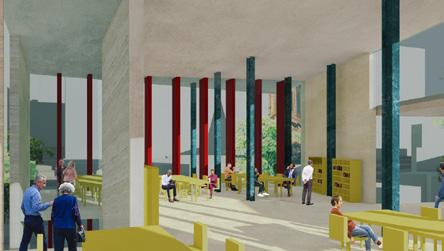
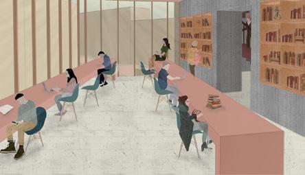
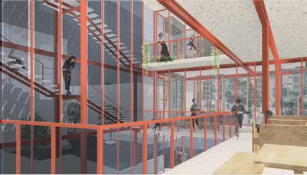





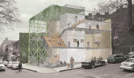
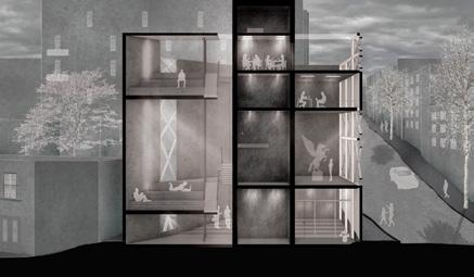
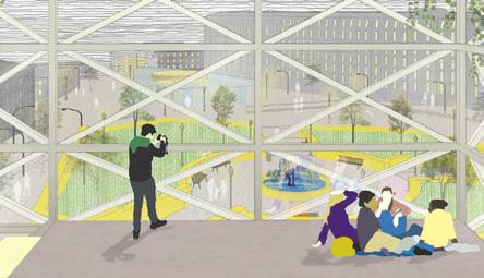
Base
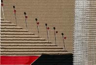
the process positions student as an active observer who has to record the unique characteristics of their chosen space

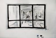




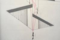
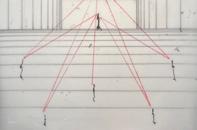


Rythm & tectonics
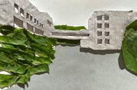
once the base is set up by the previous assignment, students have the opportunity to depart from paper and construct the physics of their chosen space
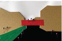

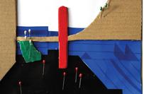
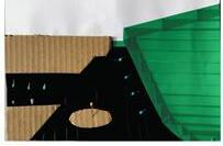


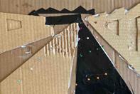
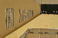

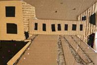



finally, students are focused to furnish their constructs with the improvised activity that enlivens their chosen spatial qualities






Course Instructors:
Luka Tavzarashvili
Ani Sadunishvili
Students:
Elene Batsikadze
Nodar Chagiashvili
Gvanca Darakhvelidze
Ana Javaxidze
Tornike Kikonishvili
Mea Miminoshvili
Andro Mkhitariani
Mariam Mukbaniani
Natali Mukhiguli
Anano Nozadze
Elene Puturidze
Malkhaz Sukhishvili
Kristine Tsnobilaze
Shota Baramashvili
Ana Bazerashvili
Elene Chikvaidze
Nika Geldiashvili
Nikoloz Karsanidze
Lizi Khurtsia
Ketevan Kvaratskelia
Teona Labuchidze
Bachana Lortkipanidze
Ana-M Mzareulashvili
Salome Shengelaia
Davit Shermadini
Ana Tugushi
Tavzarashvili
Project overview
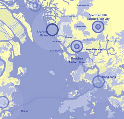
This section of the portfolio summarizes works completed in collaboration with various studios during the initial steps of my professional discipline.
Instead of providing a comprehensive narrative for each project, I “distilled“ the contexts into ideas and actionable approaches.
While some projects may seem disconnected in their context, they are connected through the principal concepts that serve as the design toolsets.
introduction to the multiscalar quality of design discipline
Architect/Urban Designer with Guallart/Artstudio
#Spatial Design
#Architecture
#Urbanism
Addressed Themes
2018 -2022
As soon as the design process encompasses all necessary and diverse qualities, there are instances where the only remaining action is to increase the acquisition of square meters while preserving previously achieved themes. Massing
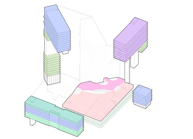
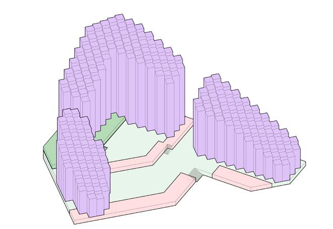
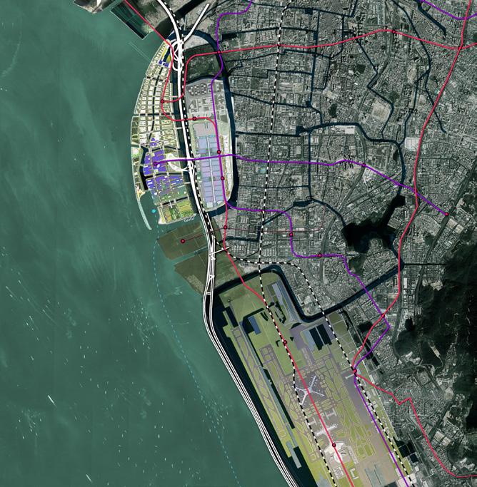
While emphasizing infrastructure and circulation needs, the design process and the project can also be seen as network of connectivity. Therefore, the project’s functionality depends on its distribution among multiple nodes.

When creating a new design, it’s important to begin by connecting the specific location to a broader context. This approach allows the project to identify the most important factors for development while preserving the original meanings within the context.
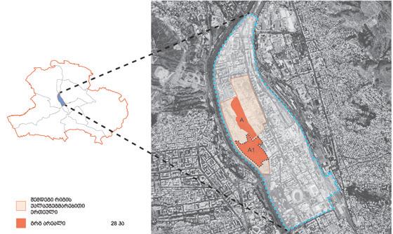

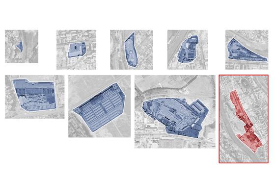
LTo ensure the project functions well and maintains its efficiency and openness to the wider area, the design process needs to utilize potential connections as negotiation areas and extensions of free space.

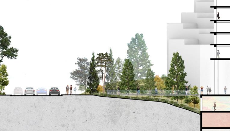
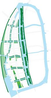
Single space can contain numerous overlapping contexts that require reconciliation. The project’s form can simply coordinate these contexts along the desired design “axis”. Layers
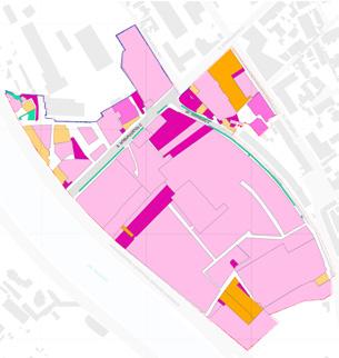

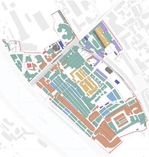

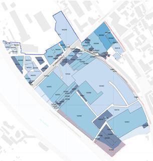


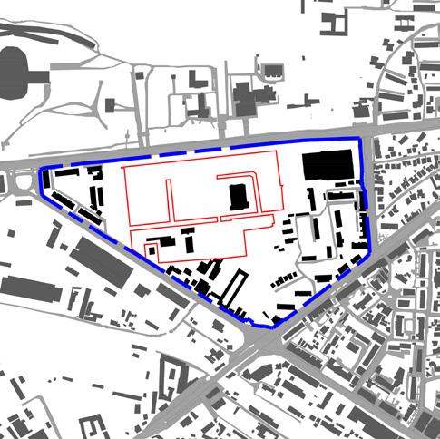

Operative Interaction
The success of a design may often rely on its location, making it important to consider this when planning a project. The more diverse the locations the project involves, the more proactive the design must be in order to maximize profitability.

Working beyond the actual composition of the design is crucial to analyze its relevance to the larger context. The successful design is thus the right decisions taken in terms of functionality with regard to the wider area.
Sequence
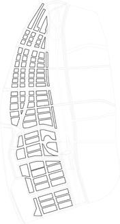
The composition of the project should be layered and multilateral to define the further extent of details within the design process.

Activation
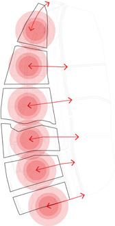
Beyond providing the generic context, the design should also maintain its alive character by the insertion of encouraging agents accross.
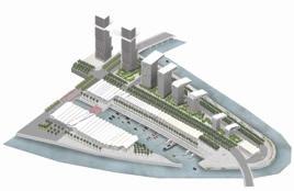
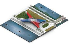
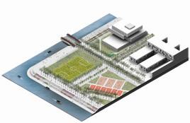


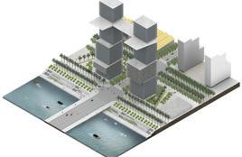


Name
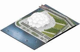
Shenzhen Marine City
Chengdu Olympic City
Shenshan Transit City
Istanbul Intercity Station
Antioch Research Center
Kayseri Intercity Station
Istanbul Innovation Center
Chirukhi Resort
Bioli Resort
Tskaltubo Masterplan
Bazaleti Lake Resort
Tbilisi Dendrological Park
Digomi Massive Residences
Eliava Market Rehabilitation
Tbilisi Residences
Bakuriani 17th District
Tbilisi Garens
19th Century Chateau Rehabilitation
Rustavi Residential District
New Kiketi Neighborhood
Kutaisi Shopping District
Residential Recreation
Shuamta Tourism Masterplan
Urban Center Rehabilitation
Kvareli Lakeside Resort
Campus Infrastructure Design
Road Junctions Network Private Residence Garden
Team
Guallart Architects
Guallart Architects
Guallart Architects
Abdullah Gul University
Abdullah Gul University
Abdullah Gul University
Abdullah Gul University
Artstudio Project
Artstudio Project
Artstudio Project
Artstudio Project
Artstudio Project
Artstudio Project
Artstudio Project
Artstudio Project
Artstudio Project
Artstudio Project
Artstudio Project
Artstudio Project
Artstudio Project
Artstudio Project

