

➤ Finding the waters less paddled
➤ History comes alive at Gold Bug Park
➤ Rafting the South Fork of the American River








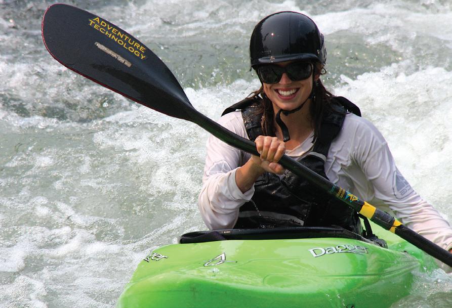
➤ Paddling
➤ Rafting
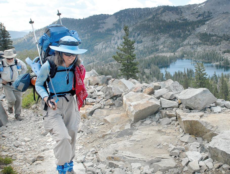
➤ Hiking
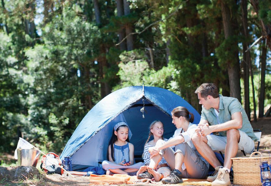
➤ Camping
➤ Communities Camino
Coloma
El Dorado Hills
Fair Play
Georgetown Placerville
Pollock Pines
➤ Exploring Gold Bug Park
2024 Edition
EXPERIENCE El Dorado County 2889 Ray Lawyer Drive, Placerville, CA 95667 530-622-1255 • Fax: 530-344-5092
Publisher Richard B. Esposito resposito@mtdemocrat.net
Editor: Mimi Escabar mescabar@mtdemocrat.net
Contributing Writers: Mimi Escabar
Wendy Schultz Dan Crandall Pat Lakey
Contributing Photographers: Krysten Kellum Shelly Thorene Pat Dollins William J. Finch
Creative Director: Letty Bejarano-Carvajal lettyb@mtdemocrat.net
Advertising/Marketing: Ian Balentine ibalentine@mtdemocrat.net
Experience El Dorado County is owned and published by the Mountain Democrat. All rights reserved, ©2024. Reproduction in any form, in whole or part, without written permission is prohibited. All content included in this magazine was deemed accurate at the time of printing and is subject to change.
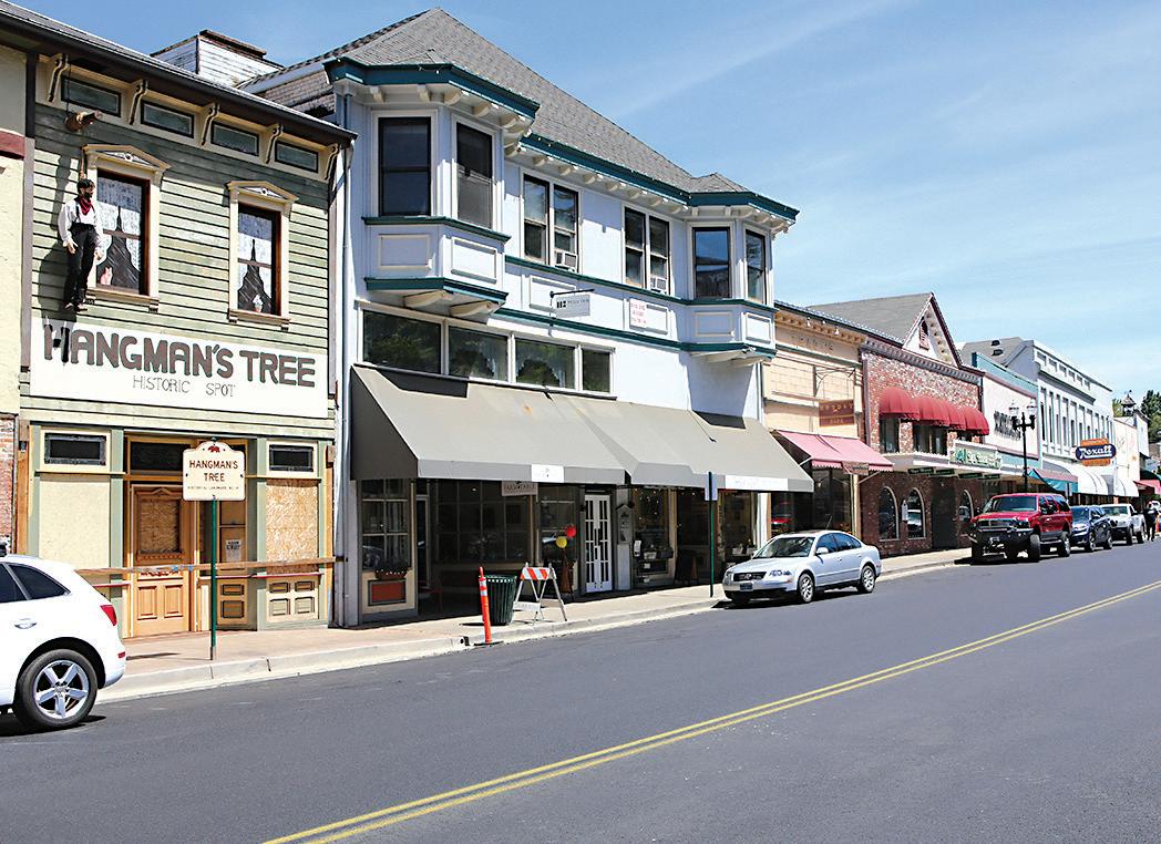
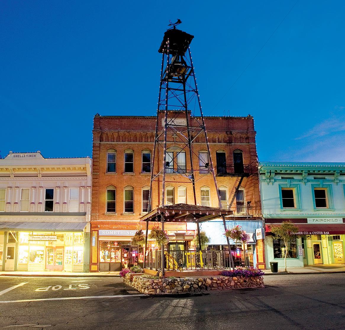
First visited by white men in 1848, Placerville was known as Dry Diggings because the gold laden dirt had to be hauled to the creek to be washed. In 1849, three men were hanged on Main Street and the town became known as Hangtown. By 1854, Hangtown had become the third largest town in California, with the increasing population came a temperance league, a Methodist Episcopal church and agitation for a less morbid name. Placerville had been suggested as early as 1850. It became official when the city was incorporated in 1854.
Because of fires a group met in 1853 and formed the Neptune Hose Company No. 1, a volunteer fire department to protect life and property. In spite of its preparation, 1856 brought three great fires and nine years later a Belltower was erected in the plaza to call volunteer firemen. With gold mining on the wane, things remained fairly quiet in town until 1888, when the railroad arrived. Placerville soon became the hub of business. In the 1960s, the crooked and winding two-lane Highway 50 became a four-lane freeway, making Placerville an easy drive from and to Sacramento and Lake Tahoe.
Coloma gets its name from a nearby Southern Maidu village called Culloma.
Coloma is most noted for being the site where James W. Marshall found gold in the Sierra Nevada foothills, at Sutter’s Mill on January 24, 1848, leading to the California Gold Rush.
In 1890 Marshall was buried on a hill above the park. His statue points to the location where gold was discovered.
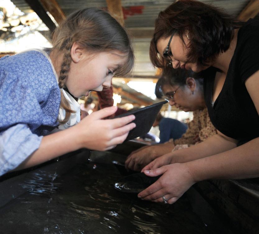
Today, countless prospectors visit the area to try their luck at gold panning.
Of particular note is the rafting industry as the South Fork American River is one of the most popular white-water trips in North America.
Today, historical Downtown Placerville offers visitors a unique place to shop and experience life in an authentic gold rush town.


This area, now known best for its orchards, vineyards and wineries, started in the 1860s as a lumber town when two Scottish brothers, James and John Blair built a sawmill and called the area Camino.
The successors to the Blairs established a mill and drying yard in Camino and transported lumber over the South Fork of the American River by way of a unique cable tramway. Because of its excellent, fertile soils and pleasant ridge-top climate, the Camino area is known for its apple and stone fruit orchards. In the 1970s wine grape vines were introduced to the area.
Thousands of people now visit what is known as Apple Hill® to enjoy the fruit harvest and partake in the Christmas tradition of selecting and cutting their holiday Christmas tree.
The original settlement of Fair Play is attributed to two gentlemen, Charles Staples and N. Sisson, who arrived there around 1853. One day the two apparently fell into a disagreement that grew into what must have been a not-too-gentlemanly fight. The fight ended when some of the other newly arrived residents appealed to them to “play fair.” Thus, we’re told, the town became known as Fair Play.
The settlement of Fair Play was a result of the discovery of gold in and along many of the nearby streams. This occurred only a few years after gold was discovered in Coloma as newly arriving miners found the good claims taken and set out to search for new, undiscovered deposits. The actual site of the town of Fair Play was about 1/2 half mile east of the southern intersection of Fairplay and Perry Creek roads, just to the north of the Fair Play cemetery. It burned in 1944 and was never rebuilt.
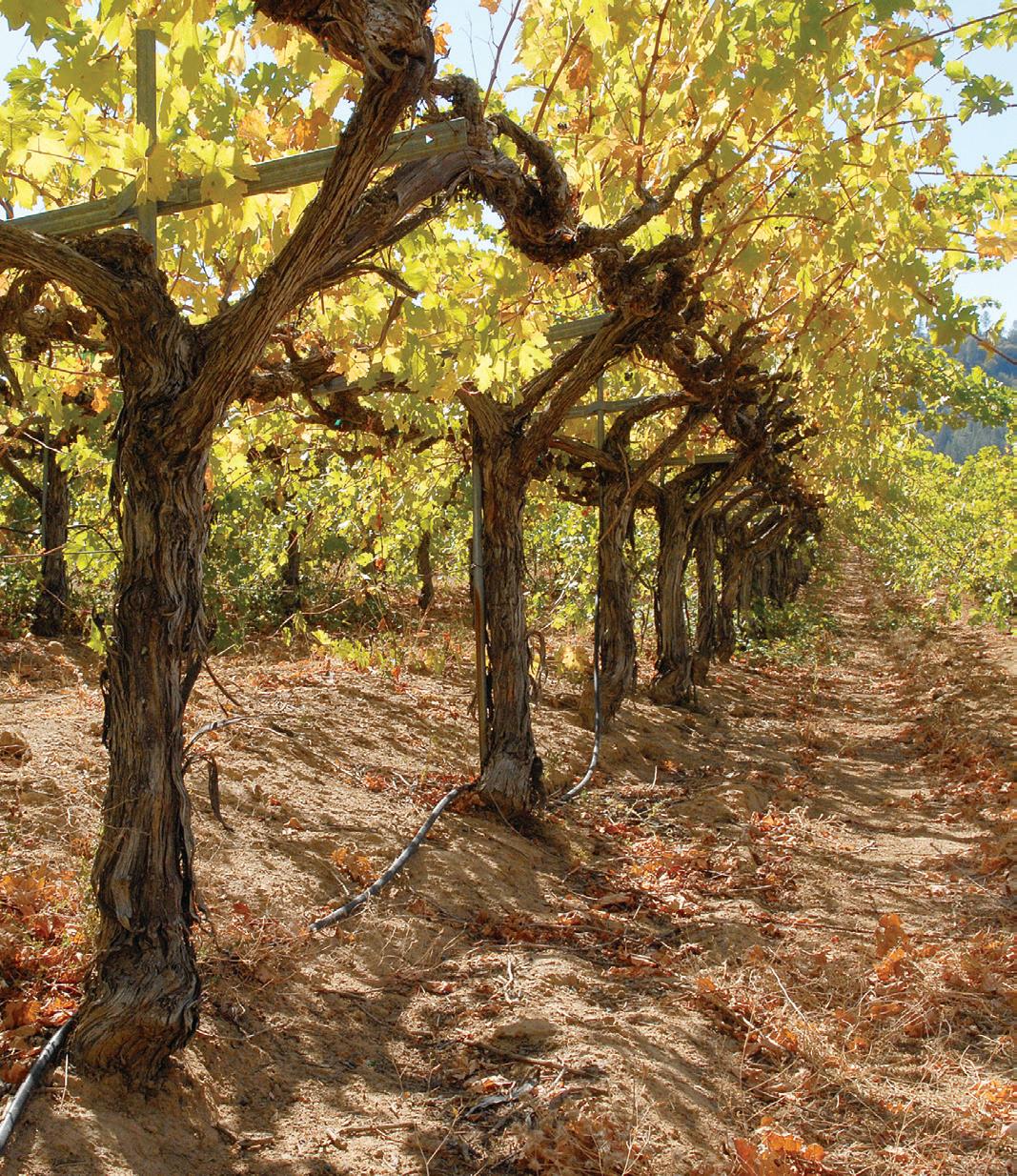
Fair Play is now known for its world class vineyards and wineries and is such a unique grape growing area that it earned its own American Viticultural Area designation: Fair Play.




Featuring local wines from El Dorado and Amador Counties
Come sit down and enjoy chocolate and wine flights! (Menu changes monthly.)
Seasonal candies like caramel apples, chocolate-covered strawberries, Easter chocolates, Halloween molds
• Gift Boxes of all different sizes for any occasion
• Large selection of handmade artisan chocolates
• Our chocolates paired with wines from El Dorado & Amador Counties
• Gift boxes of all sizes for any occasion Holiday & Gift • Treats & Pairings!


The first miners on the Georgetown Divide were a party of Oregonians arriving in 1849. A town was soon established and named George’s Town and then Georgetown after either the first miner to pitch a tent at that location, a sailor named George Phipps or a miner named George Ehrenhart.
On July 14, 1852 a fire started in the Round Tent Saloon and consumed all but two buildings. It was decided to rebuild Georgetown on top of the ridge and to properly lay out the town with wide streets, including one a full 100 feet wide. After several additional fires, including one on July 7, 1856, a brick kiln was soon constructed and many of the destroyed buildings were replaced with brick structures. In the early 20th century, the mines in and around Georgetown began to close, due to the high cost of operation and the lack of cheap power. But, when the Great Depression hit in 1929, Georgetown began to thrive again with the resurgence of mining. The town that the pioneering citizens of 1852 laid out, with its broad streets, remains today, thoroughly sprinkled with century old buildings and uncountable bits of Gold Rush history.
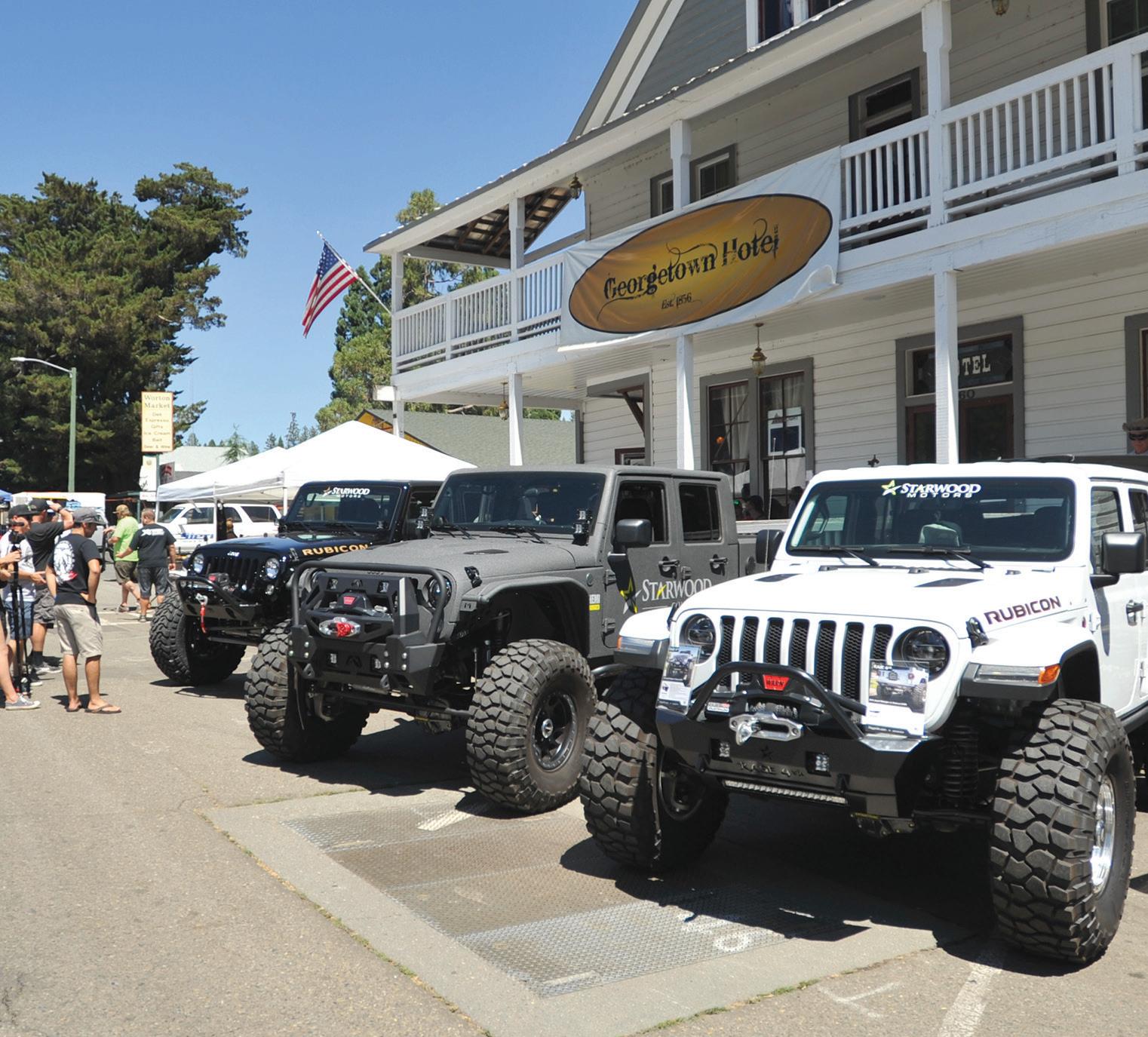
Today, Georgetown is the starting point of the Jeepers Jamboree. Where adventurous four-wheelers traverse their way to the Rubicon Trail.
The founders chose the name because the area is located in the foothills of El Dorado County.
El Dorado Hills was built on land that for years was used to graze cattle and horses. To the north, Green Valley Road was the major route for people and supplies heading to the mines. Immigrants heading to the fertile soils of the valley used a road to the south, near present-day Highway 50. Both routes had numerous inns and waystations. In the 1960s the first residential development occurred, based on a village concept. El Dorado Hills includes the longest surviving section of the Lincoln Highway, the first U.S. transcontinental highway. This section passes through historical Clarksville and is the predecessor of the modern U.S. 50 route.
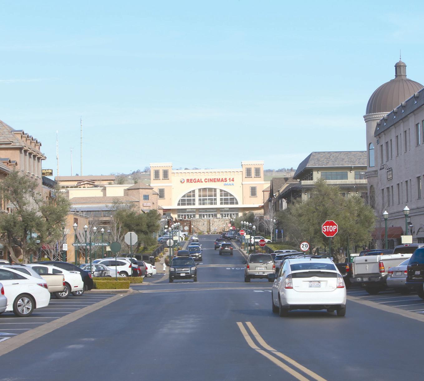
El Dorado Hills offers an exquisite upscale shopping and dining experience.
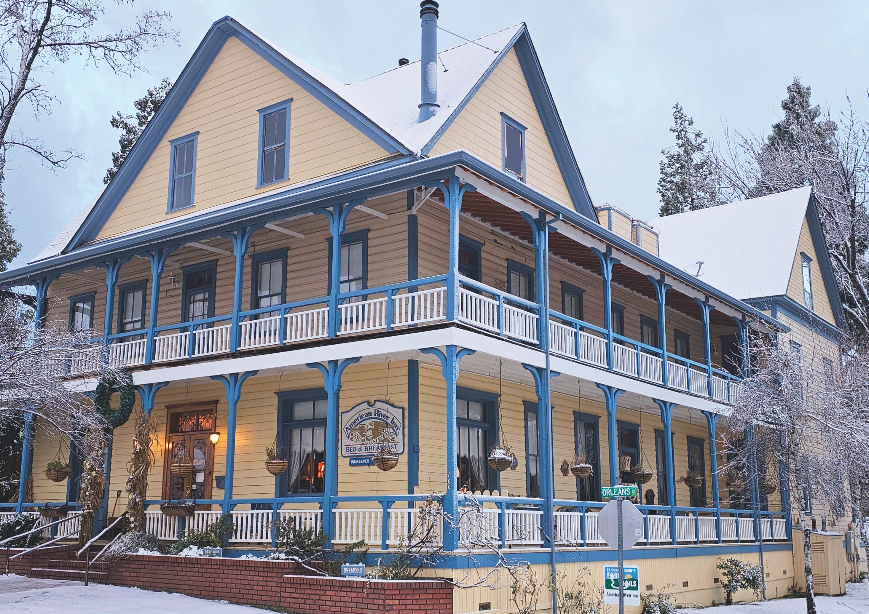






Most towns along the Mother Lode were named after early settlers who located there. However, Pollock Pines was named after the people who actually created it, Hiram Robert Pollock, his wife Anna and son Claude Earl.
On April 4, 1860, at Sportsman’s Hall, William “Sam” Hamilton, the first Pony Express rider eastbound from Sacramento handed the mail to rider Warren Upson who carried it over the Sierra Nevada. Shortly after Pollock’s arrival, he built a box mill. The mill was destroyed by fire in 1932. In 1935 Pollock subdivided the land and sold building lots. They called it Pollock Pines and continued selling lots by subdividing more of the land.
Pollock Pines today offers commercial centers, services and recreational activities to both residents and visitors.


Thank You! “We are thrilled and humbled to be recognized. Thank you for your continued support.”
Mike, Elaine & their son Brett Kobus


Mike and Elaine Kobus have been serving the El Dorado County community for over 28 years, and are proud supporters of these local charities:
■ Alzheimer’s Association — N. California, and N. Nevada Chapter
■ Arts & Culture El Dorado
■ Big Brothers Big Sisters of Northern Sierra
■ Boys & Girls Club of El Dorado County Western Slope
■ Daughters of the American Revolution – El Dorado County
■ El Dorado County Chamber of Commerce (Past President)
■ El Dorado County Habitat for Humanity
■ El Dorado Women’s Center
■ Food Bank of El Dorado County
■ Hangtown Little League
■ H.E.L.P. – Housing Emergency Lodging Program
■ MORE – Mother Lode Rehabilitation Enterprises, Inc.
■ New Beginnings Thrift
■ Placerville Downtown Association
■ Shingle Springs/Cameron Park Chamber of Commerce
■ The Upper Room Dining Hall, Inc.






STORY & PHOTOS BY: DAN CRANDALL
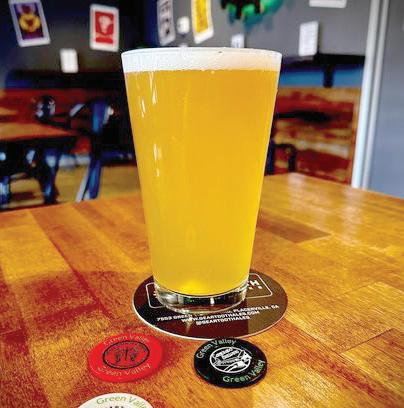
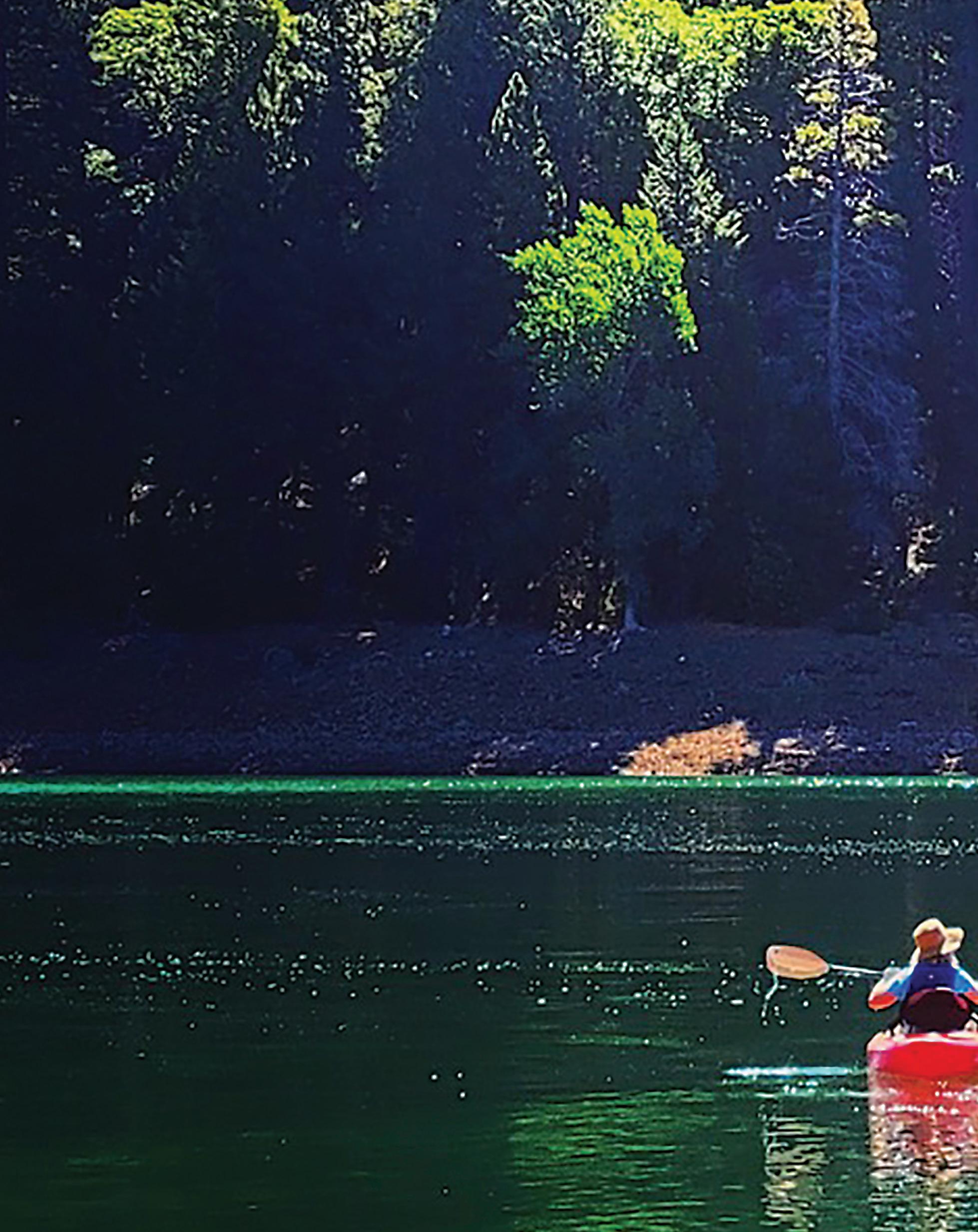
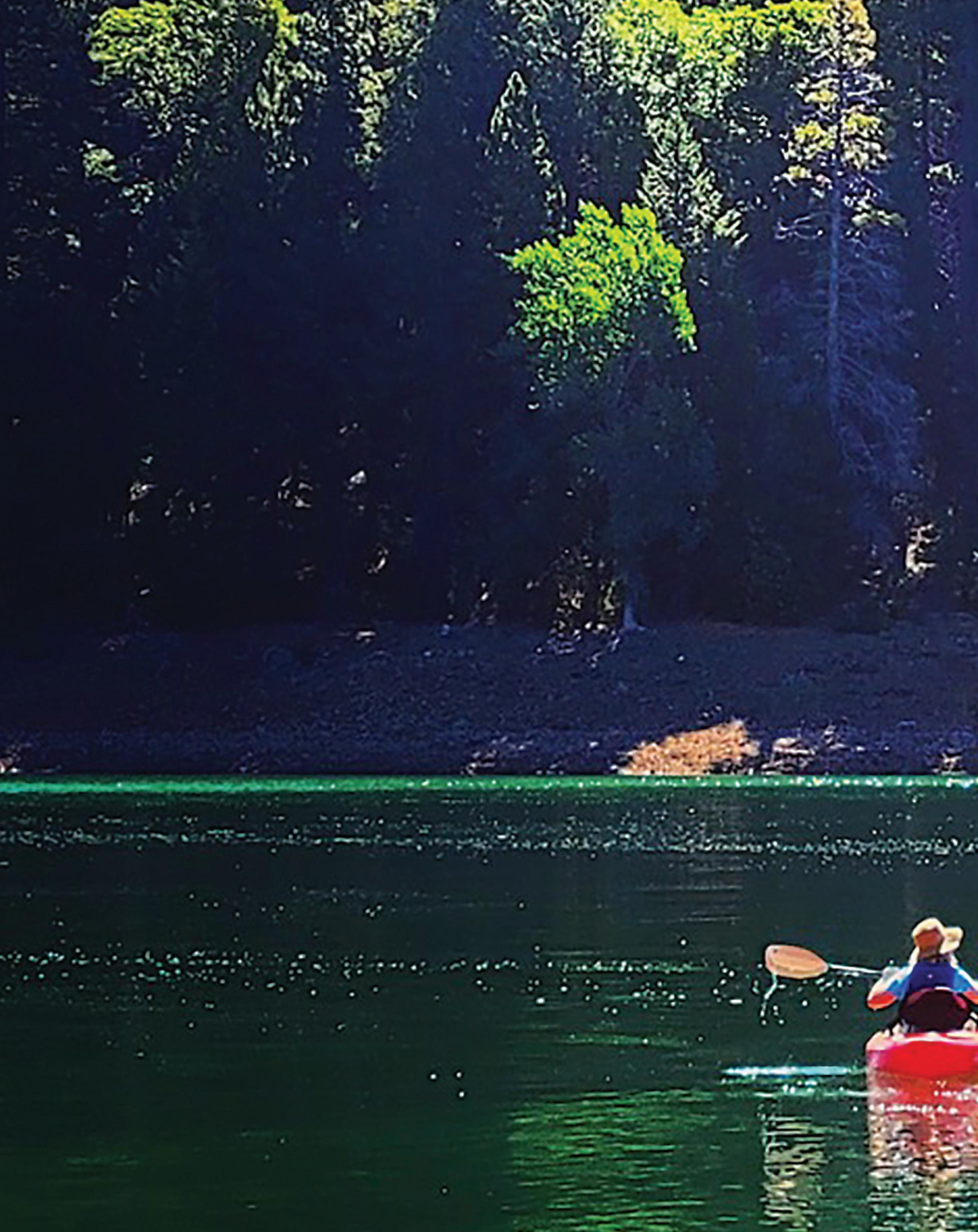
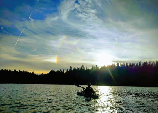
Paddlers, be it by kayak, canoe or paddleboard, chances are you like to get away from the crowds and find the serenity of a quiet, scenic lake area or river to explore or just paddle to a quiet corner of and chill out. Most people think of Lake Tahoe, but here are a few tips on places where quiet is king and the paddling is serene. You’ll have to do a little work on your own to get there in some cases, but these are all locations within El Dorado County that favor the paddler rather than the motorized crowd.
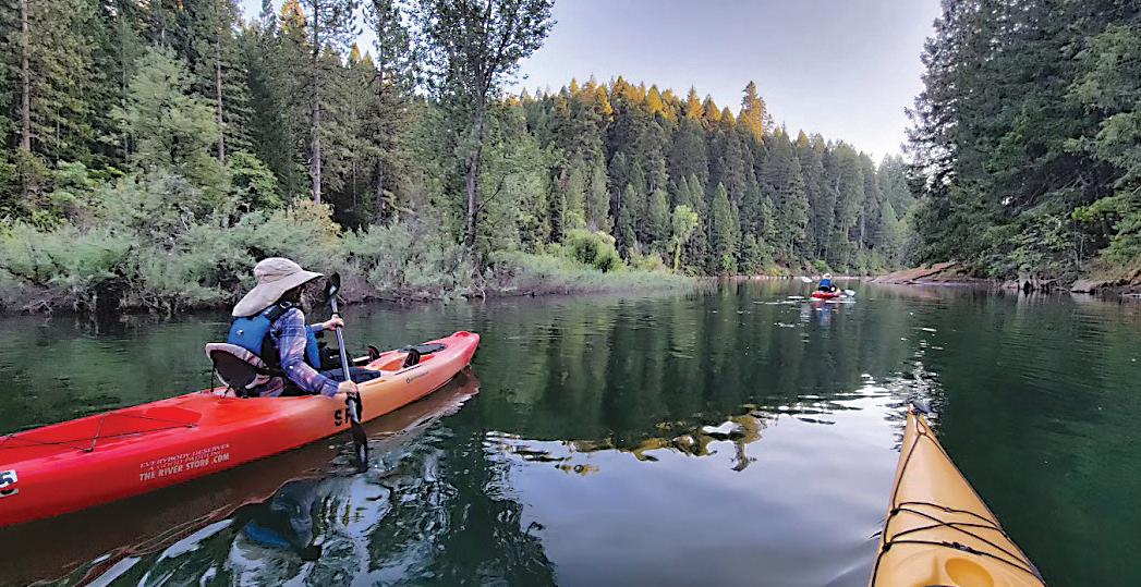
Here is a quick hit list of some of the better spots to get away to with your craft and wonder why you would ever come home! (Note: Many of these locations do not have reliable cell service, so do your map work in advance, and don’t expect anybody to be able to reach you for a chat.)
FOOTHILL LAKES
• Sly Park Recreation area (JenkinsonLake.com)
• Stumpy Meadows Lake
CRYSTAL BASIN LAKES
• Loon Lake
• Gerle Creek Lake
OTHER SIERRA LAKE
• Fallen Leaf Lake
SLY PARK (JENKINSON LAKE)
Sly Park Recreation area is located off Sly Park Road in Pollock Pines. It is an El Dorado Irrigation District water source, so no dogs or babies in the water. About half the lake is set aside for 5 mph. It has a 9 mile hiking and biking trail around the lake and pristine campground spaces along one side of the lake. Clean, clear water, good fishing. Open year round with kayak, canoe and paddleboard rentals available.
STUMPY MEADOWS LAKE
Stumpy is a quiet reservoir with open views of forest and hills. Located 17 miles out of Georgetown, it is rare to see many other folks here in spite of the roadside access off Wentworth Springs Road. Warmer water conditions in summer.
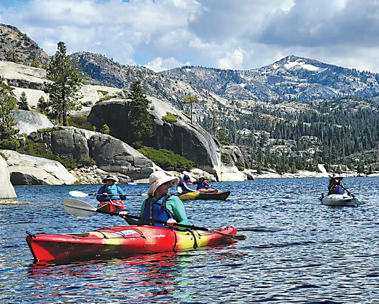
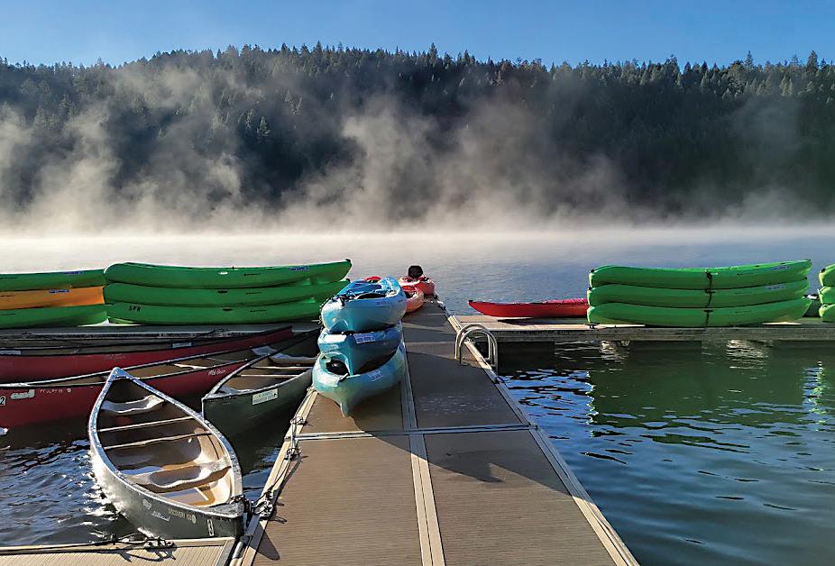
Epic! Crystal Basin’s crowning jewel with granite shorelines and intermittent forest, resident eagles and ospreys and views of the adjacent Desolation Wilderness. Crowded campgrounds on summer weekends, but the lake always stays pretty quiet in terms of boats and paddlers.
Watch out for afternoon winds and clear but cold water. Paddle in campground and islands and lots of shoreline access points.
Just down the hill from Loon Lake, Gerle is a gem for light, easy paddling and serenity. Very small lake with easy access at two points and warm water, wade able shorelines, and a small mid-lake island to paddle to. No motorized craft. Reachable like Loon Lake from Highway 50 on Ice House Road or from Georgetown via Wentworth Springs Road.
Tahoe’s little sister! Beautiful views of forest and mountains. Super cold but crystal clear water. See trees that are hundreds of years old on the bottom in deep water as if they were just under your feet. Typically uncrowded with paddlers or motorized boats. Occasional gusty winds, but more protected than Tahoe and spectacular paddling. ■



• 105 Newly Renovated Rooms & Suites
• 2 miles from Red Hawk Casino (Exit 44A)
• Complimentary Hot Breakfast Buffet
• Free WiFi
• Outdoor Pool and Spa
• Exercise Room & Guest Laundry
• Lobby Lounge with Fireplace (Open 24 hours)
• Banquet & Meeting Facilities
• Pet Friendly
Each Room Features: • Refrigerator and Microwave Oven
Free WiFi • Coffee Maker • Hair Dryer
Iron & Ironing Board
Free Local Phone Calls


STORY: Mimi Escabar | PHOTOS: Krysten Kellum


American River Resort
6019 New River Road, Coloma, is a private campground on 30 acres. There are bathrooms, hot showers, picnic tables, repits, riverside campsites, river access, open play areas, catch-and-release shing pond, swimming pool, 10 p.m. quiet time and controlled entrance gate. More information: 530-622-6700, amricanriverresort.com

Camino Cove Campground Eldorado National Forest, Bryant Springs Road, Pollock Pines, is located on Union Valley Reservoir. There are vault toilets, no water is available. No reservations, rst-come- rst served. More information: 530-644-2349


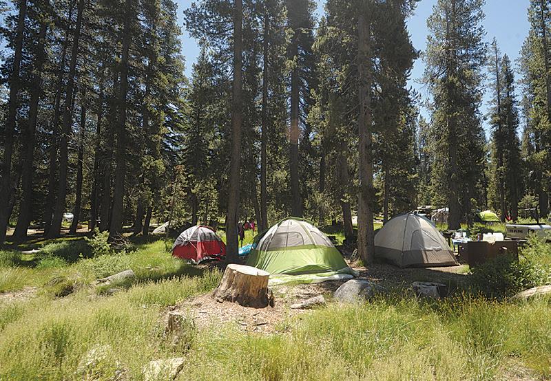

Coloma Resort at Sutter’s Mill 6921 Mount Murphy Road, Coloma, offers tent and RV camping by the South Fork of the American River, swimming pool and many amenities. More information: 530-621-2267, colomaresort.com

Columbia Flat Campground 6241 Garden Valley Road, Garden Valley, has seven sites, toilets, potable water, showers, kitchen, no wheelchair access, no camp res, pets allowed, seasonal fruits and vegetables, local honey, nuts, picnic tables and petting zoo. More information: (530) 295-4910, hipcamp.com/california/columbia- at/ columbia- at#
Camp Chiquita Campground and RV Park
9092 Wentworth Springs Road, Georgetown, offers full hookups available year round and partial hook-up and tent camping available May through November on 43-plus acres. Enjoy hiking and sightseeing bordering the Eldorado National Forest. More information: 530-333-4673, campchiquita.com


Camp Lotus Lodge and Campground 5461 Bassi Road in Lotus, has showers and toilets. No dogs allowed. More information: 530-622-8672
Camp Nauvoo 2200 Camp Nauvoo Road, Placerville, has tent camping, glamping and group camping. More information: 916-207-9441, campnauvooplacerville.com
Camp Richardson Resort 1900 Jameson Beach Road in South Lake Tahoe, dates from 1921 when Capt. Alonzo Richardson leased a large parcel from the Comstock and Lawrence families and set up a stage service from Placerville to South Lake Tahoe. In 1967 it was offered to the U.S. Forest Service to take over the entire recreational area from Baldwin Beach and Taylor Creek through Camp Richardson to Pope Beach. There are 200 campsites, 100 RV sites. Camp Richardson Resort has a strict no smoking in the buildings and a no pet policy. More information: 800-544-1801, camprichardson.com

Dru Barner Campground
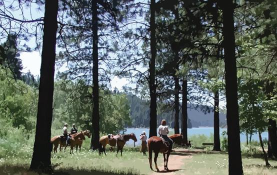
7.5 miles east of Georgetown on Wentworth Springs Road (Forest Road 1), then 1 mile north east on Forest Road 13N16 and 0.5 miles northwest on Forest Road 13N58, is ideal for equestrian use, with four water troughs, several pull through spaces and access to trails. The park provides day-use facilities for staging nonmotorized trails recreation. There is tent camping, camping trailer, picnic tables, toilets, drinking water and parking. More information: 530-333-4312, fs.usda.gov


100 Placerville Drive, Placerville, offers RV stays for one night or a few days with some closures due to special events. Power, water, showers and rest rooms are available. Dump station is available upon request for an additional fee. Available only for those staying on grounds. Not open to the general public. More information: 530-621-5860, eldoradocountyfair.org/rvinfo

Set your self up for adventure, travel and peace of mind.
Having a Destination for Retirement Can Be So Refreshing.
Let’s talk about financial planning and get an investment strategy designed to meet your needs!
A successful retirement is a dream shared by every working American.
We specialize in helping my clients meet their retirement goals by providing them the guidance they need to achieve the retirement of their dreams. And we can help you do the same.

Call or email us for your retirement planning, or other areas of investing!

Eldorado National Forest Office 100 Forni Road, Placerville, has information on campgrounds on federal lands. Reservations are needed for most developed campgrounds and can be made at recreation.gov. More information: 530-622-5061, fs.usda. gov/eldorado

Fallen Leaf Campground
Eldorado National Forest, 2165 Fallen Leaf Road, South Lake Tahoe, has 205 sites, toilets and showers. There is excellent day hiking and backpacking in Desolation Wilderness via the Glen Alpine or Mt. Tallac trailheads nearby. Leashed pets are allowed. More information: 530-544-0426



Finnon Lake 9100 Rock Creek Road, Placerville, has 19 campsites. Campsites have tables, camp re rings and pedestal grills. There are water spigots and bathrooms have running water and ush toilets. All dogs are required to be under control at all times. Finnon Lake Recreation Area is private property and is monitored by Mosquito Volunteer Fire Association. More information: 530-4095515 (Note: due to construction on Rock Creek Road expect delays.)





Ice House Campground Ice House Reservoir Road in the Eldorado National Forest, is surrounded by a mixed conifer forest on the shores of Ice House Reservoir. The campground offers tent camping, camping trailer, boat ramp, hiking, biking, jet skiing and shing. Amenities include a picnic area, drinking water faucets, vault toilets and a dump station. Firewood is sold on-site and a nearby resort offers a restaurant, gas and limited groceries. At the RV-only campsite area, there is a shared cooking area with tables and grills. More information: 530-644-2349, 530-622-5061, 1-877-444-6777


Placerville RV Resort and Campground 4655 Rock Barn Road, Shingle Springs, has a hot tub, pool open May to September, breakfast on Sunday mornings in the summer, movie nights with free popcorn and other goodies most Friday and Saturdays, new arcade, giant tent with free ping-pong and foosball and hand-dipped ice cream. There is a new large dog park. More information: 530-676-2267


Shari Merle, CFP® Branch Manager (916) 933-2117 • shari.merle@lpl.com • Lic#0761226
Stephen Merle, CFP® Investment Planner (916) 933-2117 • stephen.merle@lpl.com • Lic#0F85243
Loon Lake Campground Eldorado National Forest, Ice House Road, 23 miles east of Placerville on Highway 50 and 29 miles north on Ice House Road (Forest Road 3) on the south side of Loon Lake. There is a boat ramp, tent camping, camping trailer, picnic tables, toilets and drinking water. Pets on lease are allowed. More information: 530-644-2349, 530-622-5061, 1-877-444-6777

Lover’s Leap Campground is visible from Highway 50 while climbing up from Twin Bridges and is accessed from Strawberry. It has 30 camp sites, running water, pit toilets and is a 5-minute walk to Strawberry Lodge. More information: 530-6225061, 530-644-2349; fs.usda.gov/eldorado






Northwind Camp Campground Eldorado National Forest, Ice House Road, Pollock Pines, has nine tent camping sites, restrooms, no piped water. More information: 530-6475415, 530-622-5061

Ponderosa RV Resort 7291 Highway 49, Lotus, has 146 sites with access to shing, rafting, swimming, kayaking, sunbathing and panning for gold, all within a few miles of the campground. On site there is swimming pool, bocci ball, horseshoes and clubhouse. More information: 530-642-5830, rvonthego.com/ponderosa-campground

Sly Park Recreation Area Jenkinson Lake, Pollock Pines, has 191 individual campsites, 10 campgrounds, an event center with full kitchen and a designated equestrian camp. It features overnight camping and day-use facilities; boating, shing and swimming in Jenkinson Lake; hiking, mountain biking and equestrian trails (some shared); equestrian and Boy and Girl Scout camps; and Hazel Meadow educational exhibit. No animals are allowed. There is water and vault toilets. Sites will accommodate tents as well as RVs up to 40 feet. SPRA reservations can be made up to 14 months in advance online or calling. More information: 530-295-6810, eid.org/ recreation/sly-park-recreation-area-spra-at-jenkinson-lake

Silver Lake West Campground Highway 88 across from Silver Lake, has 42 campsites that can accommodate tents and small trailers/RVs. It is open mid May through mid October, depending on the weather with boating and shing. Silver Lake West is a rst-come- rst-served facility. There are no showers. More information: eid.org/recreation/silverlake/silver-lake-west-campground







Strawberry Point Campground Eldorado National Forest, Ice House Road, Pollock Pines, has 10 sites and is open June through October. More information: 530-644-2349, 530-622-5061
Stumpy Meadows Reservoir 15 miles east of Georgetown on Wentworth Springs Road, gives visitors a primitive camping experience in the privacy of a beautiful conifer forest with boat ramp and hiking and biking trails. It is stocked with rainbow and German brown trout for shing during the season. There are water faucets and pit/vault toilets. No hook-ups are available. More information: fs.fed.us/r5/eldorado/recreation/dev-camp/georgetown

Wrights Lake Campground 8 miles north of Highway 50 on Wrights Road (turn off is 3 miles east of Kyburz), at 7,000 feet in elevation is open May through September, depending on weather. There are 67 camping spots, piped water and vault toilets. No motorized boats are allowed. Two Wilderness Trailheads (TH), the Rockbound TH and the Twin Lakes TH and the Lake Loop Trail are found at Wrights Lake. Wilderness hiking permits are required. Day hiking permits are available at the Wilderness info/map board. Overnight permits must be arranged ahead of time through the Internet at recreation.gov. The complete url is recreation.gov/permits/map_of_Desolation_Wilderness_Permit/r/wildernessAreaMap.do?page=map&contractCode=NRSO&parkId=72202. More information: fs.usda.gov/ eldorado and follow the links. Please note that the link to Desolation Wilderness is “Special Places”
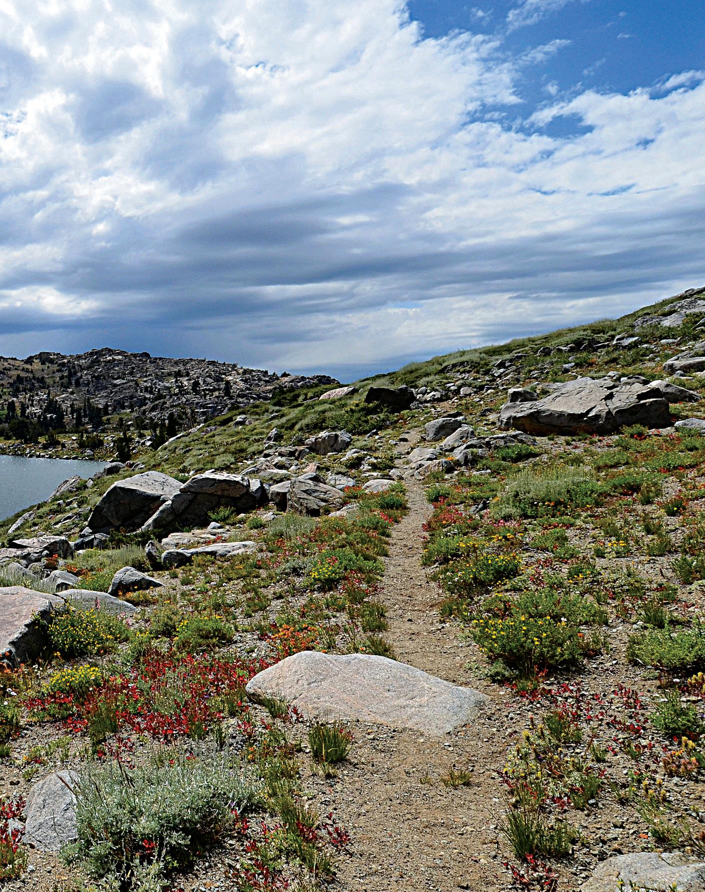

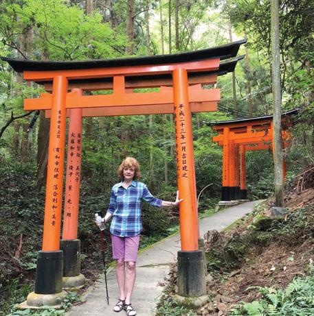
One of the most popular adventures people look forward to is hiking in the mountains surrounding Lake Tahoe along trails up high that afford beautiful views of Lake Tahoe as well as many other lakes seen along the trails. El Dorado County California enjoys one of our nation’s most remarkable treasures — the Desolation Wilderness area — which is forever protected by the Wilderness Act of 1964. Those of us who live here feel so fortunate to have this gem of creation in our backyard. We are happy to share this gem with our out of town summer visitors vacationing at Lake Tahoe. By coming here, you have the ideal opportunity to visit “your” land and experience the wonders of the wilderness.
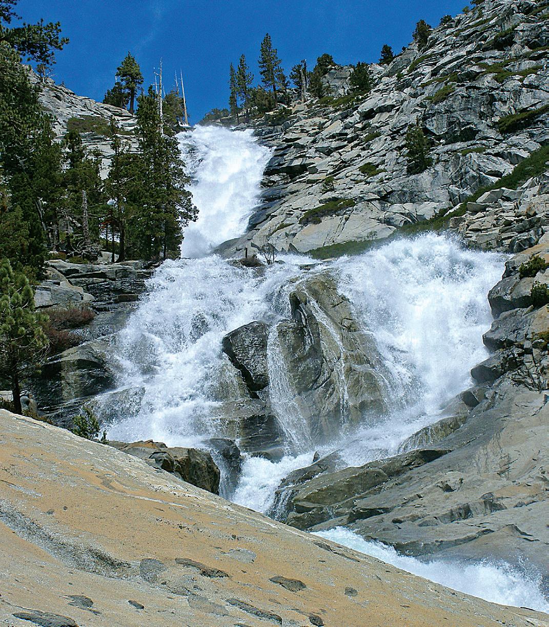
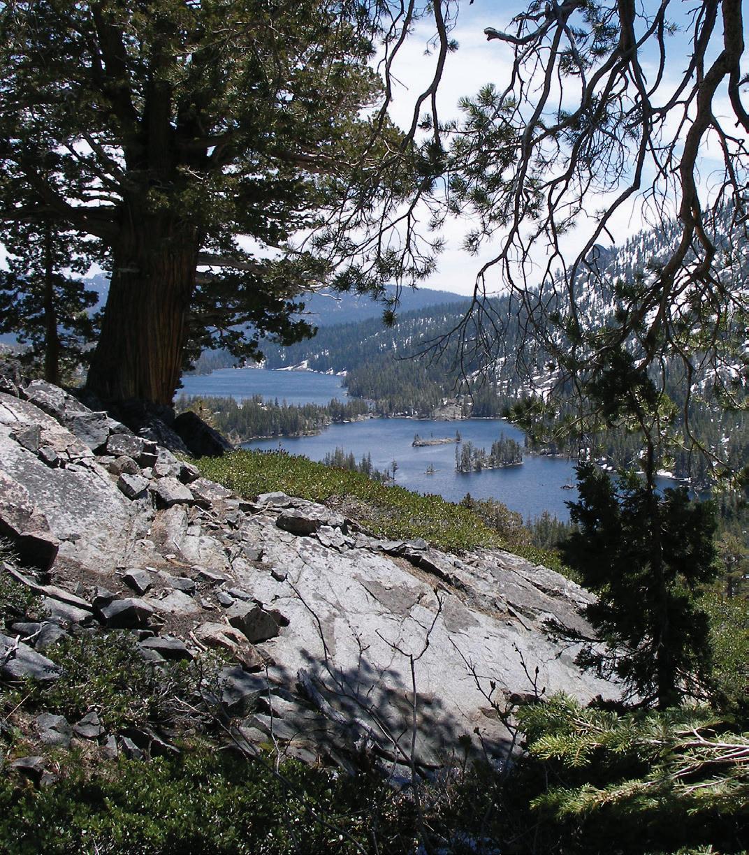
Difficulty: Difficult
Length: 4.0 mi
Elevation gain: 1,341 ft
Route type: Out & back
The hike starts at Twin Bridges Trailhead off of Highway 50 just past Strawberry. There is a fee to park in the parking area. The parking lot is closed in the winter, but visitors can park along the road.
From the trailhead, you will follow Pyramid Creek Trail into Desolation Wilderness. Day use hikers must get a free permit at the trailhead.
The hike starts out moderate but quickly picks up elevation as you enter Desolation Wilderness. The last half mile of the hike can be difficult, as there is granite rock and boulders that require rock climbing and the trail is not well marked and hard to follow.
Once you reach the first rapids area there is a sign. The trail picks back up directly to the left of the sign. If in doubt after this point, stay closer to the water.
Once at the falls, you have the option to continue on, however proceed with caution as there are slippery rocks.
Late spring and early summer may be the best times to experience Horsetail Falls, as the water flow is heaviest. However a hike up the Pyramid Creek trail to this spectacular waterfall is still a worthwhile experience at any time of the year.
Difficulty: Moderate to Difficult
Length: 12.5 mi
Elevation gain: 1,879 ft
Route type: Out & back
The hike to Lake Aloha showcases the best of Desolation Wilderness. This route has it all; sweeping mountain views, alpine lakes, grassy meadows, all without too much of a challenge. To top it all off, there’s no better way to cool down than swimming in the beautiful lakes along the way.
Starting out from the Echo Lakes Trailhead, you have two options. You can either hike the whole way to the lake via the Pacific Crest Trail, or get some help from the boat taxi. The Chalet operates a boat taxi that shuttles hikers across Echo Lake. Taking the taxi one or both ways takes several miles off the hike. The Chalet is open for the season. Operating hours are 9 am – 5 pm. There is a charge for the boat taxi.
The hike is fairly flat, with only two sections of significant elevation gain. Once at Aloha Lake, there is an option lollipop loop that takes you to Lake of the Woods. You may also choose to return the way you came, foregoing the loop.


Cameron Park
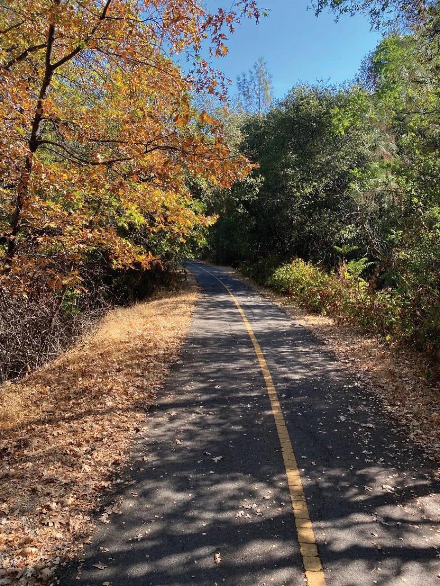


4 seasons of beauty await you!

Discover 39 miles of walking, hiking, road and mountain biking and horseback riding fun in the beautiful Sierra foothills in El Dorado County
Community Services District
Upcoming Events: Cameron Park
Community Services District Upcoming Events:
• Community Clean Up: Oct. 12, 2024
• Monster Mash: Oct. 18, 2024

• Christmas Craft Fair: Nov. 23, 2024
• Christmas Movie Night: Dec. 13, 2024

4 beauty await you road and mountain biking and horseback riding fun in the beautiful Sierra foothills El Dorado County
• Ties & Tiaras: Feb. 8, 2025
• Easter Egg Hunt: April 12, 2025
• Summer Spectacular: June 28, 2025
Summer Activities Summer Activities
4 seasons of beauty await you
Discover 39 miles of walking, road and mountain biking and horseback riding fun in the beautiful Sierra foothills El Dorado County
eldoradotrail.org
Facebook and Instagram > eldoradotrail
OPEN 365 DAYS A YEAR


May-September 2025
• Kids Summer Camp
• Recreation Swim
• Lap Swim
• Aquarobics
• Indoor Pickleball
• Adult & Youth Classes
Cameron Park Lake Cameron Park Lake


eldoradotrail.org .org
Facebook and Instagram > eldoradotrail
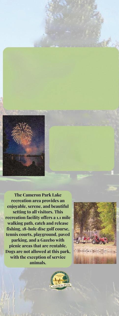
For more information, visit cameronpark.org or call 530-677-2231
2502 Country Club Dr., Cameron Park, CA

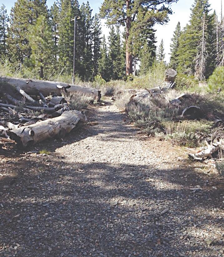
Difficulty: Moderate
Length: 5.3 mi
Ele n gain: 511 ft
Route type: Out & back
The Echo Lakes Trail is a great introduction to Desolation Wilderness. This is a very popular area and the parking area fills up quickly. The trailhead is off Highway 50 by the Echo Chalet and it is best to get here early. You will need a wilderness permit to backpack past Echo Lake. Another popular option from the Echo Lakes Trailhead is Lake Aloha.
This is a great trail for anyone that is looking for a moderately challenging, incredibly scenic, and dog-friendly hike in South Lake Tahoe. There is a boat taxi at the opposite side of Echo Lake from the trailhead if you’d like to include some time on the water in your day hike. Views throughout the trail are fantastic.
Many hikes are accessible from this Trailhead. You can choose any one of a number of different hikes all of which can begin with a boat ride on the Echo Lakes.
For a fantastic view of Lake Tahoe and the city of South Lake Tahoe, hike across the dam and along the east side of Lower Echo Lake on a rocky trail that is fairly level. Hike about 0.2 mile and make your way off the trail up to the east ridge to view Lake Tahoe.
Difficulty: Moderate to Difficult
Distance: 10.5 mi
Elevation gain: 3,274 ft
Route type: Out & back
The trailhead is located approximately 3-1/2 miles north of South Lake Tahoe on Highway 89. Look for the Mt. Tallac Trailhead sign directly across from the entrance to Baldwin Beach. Turn left down the dirt road and continue to the trailhead parking.
The first part of the trail to Floating Island and Cathedral Lakes is easy to moderate and can be enjoyed by the novice hiker. Beyond Cathedral Lake, the trail becomes steep and strenuous as it continues up the front face of Mount Tallac.
Providing a spectacular view of Fallen Leaf Lake, Lake Tahoe, and Desolation Wilderness, this strenuous hike is well worth the effort. Weather conditions can change rapidly in the Sierra mountains; bring a jacket, carry lots of water and allow plenty of time for your trip.
A wilderness permit is required. Day hikers, pick up your permit at the self serve area at the Trailhead. Overnight hikers will need an overnight permit for Desolation Wilderness. This permit must be purchased before you get to the Mt. Tallac Trailhead.

Difficulty: Moderate
Length: 7.5 mi
Elevation gain: 2,158 ft
Route type: Loop
Maggie’s Peak, Eagle Lake, Granite Lake Loop is a 7.5 mile moderately trafficked loop trail located near Tahoma, California that features a lake and is rated as moderate. The trail is primarily used for hiking, camping, and backpacking.
This trail offers great views with a variety of terrains. The walk up to the peak is the most challenging, but the view is so gorgeous!
If you want to do the full loop, you have to go on the road for a decent amount of time to walk back to the parking lot. If you want to avoid that, you can do this as an out and back starting from the Eagle Lake Trailhead.


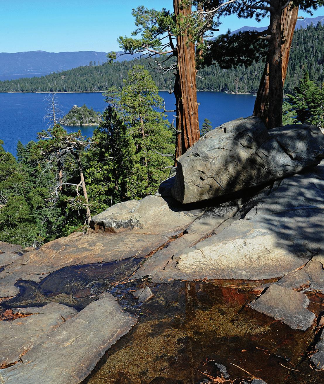


Difficulty: Moderate
Length: 1.9 mi
Elevation gain: 459 ft
Route type: Out & back
The Eagle Falls Trail showcases some of the most striking landscape the Lake Tahoe Basin has to offer. This route is short and easy enough for the whole family. There is something for everyone here; waterfalls, creeks, lakes, granite peaks, and lush vegetation.
After obtaining your wilderness permit at the Eagle Falls Trailhead, continue southwest on the trail. Climbing gently at first, and then ascending a steep set of stone steps. Quickly you’ll come across the falls. Some hikers choose to turn around here.
If you’re continuing to the lake, follow the trail gradually uphill another half mile or so until you reach a fork. The trail on the right leads to the lake, resting in a glacial cirque below North Maggie’s Peak.
Take a swim in the cold Eagle Lake waters, or just hang out on the shores and take in the views. Once you’re done, return the way you came.


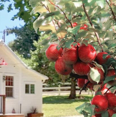

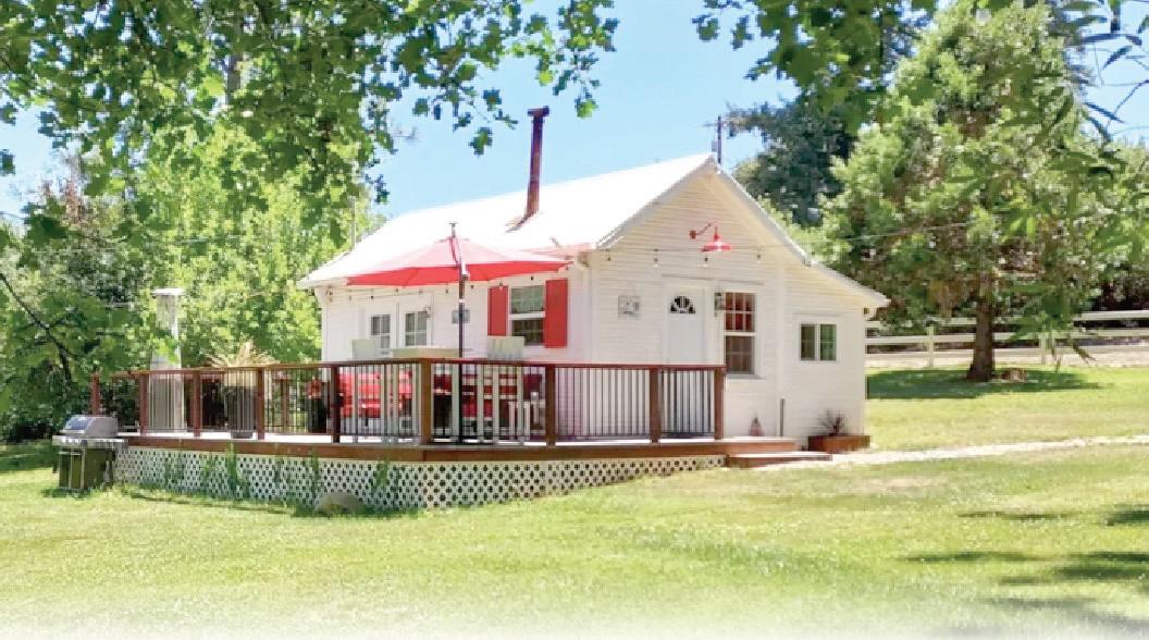
For the tallest Christmas Trees & most romantic Apple Hill vacation rental!
Madrone Tree Hill, a 40-acre tree farm and event venue, has been family-owned and operated since the 1960’s. We provide lush, tall green trees to spruce up your home during the holiday season, with a perfect romantic vacation rental for making your special memories!
Our property is open year ‘round for guests to enjoy the natural beauty of Apple HillTM. With local breweries, wineries, and apple farms in close vicinity, there’s always something to do. And with the views we have, it makes the perfect venue for your wedding and upcoming events.
Disconnect from the world and experience the rich, natural beauty of Madrone Tree Hill.
Family owned and operated
Visit our Christmas Tree Farm for a hauntingly good time! Reserve a Christmas Tree for the Holiday Season! Walk our spooki ed trail through the Haunted Forest. This is a 450-yard loop trail through the Haunted Forest! Open early October weekends from 1:00pm to 6:00pm (Forest gates close at 5:45pm)
Cost: $5/child (12 & under) and $10/adult
Tickets sold at gate only Fun for all ages!


The Forester is celebrating 20 years of bringing flavors of their Old World roots to the heart of Camino.
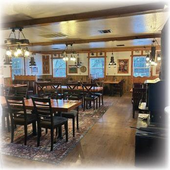
Come enjoy dishes perfected using old family recipes, serving German comfort food that, for many, generate treasured memories of their heritage.
As well as traditional German dishes such as Rouladen, Wiener & Jaegerschnitzel, Sausage Platter, Baby Back Ribs, Goulash and Pork Roast, we also offer classic Steaks and Burgers, Shrimp, Cod, Chicken and Cornish Game Hen dishes! Visit our website for menu details.


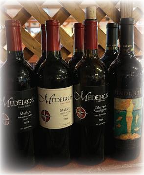
Come satiate your appetite with our food and hospitality!
(530) 644-1818
Hours: Tue-Thur 4-8 ~ Fri-Sat: 4-8:30 ~ Sun: 4-8
Closed: Mon foresterpubandgrill.com


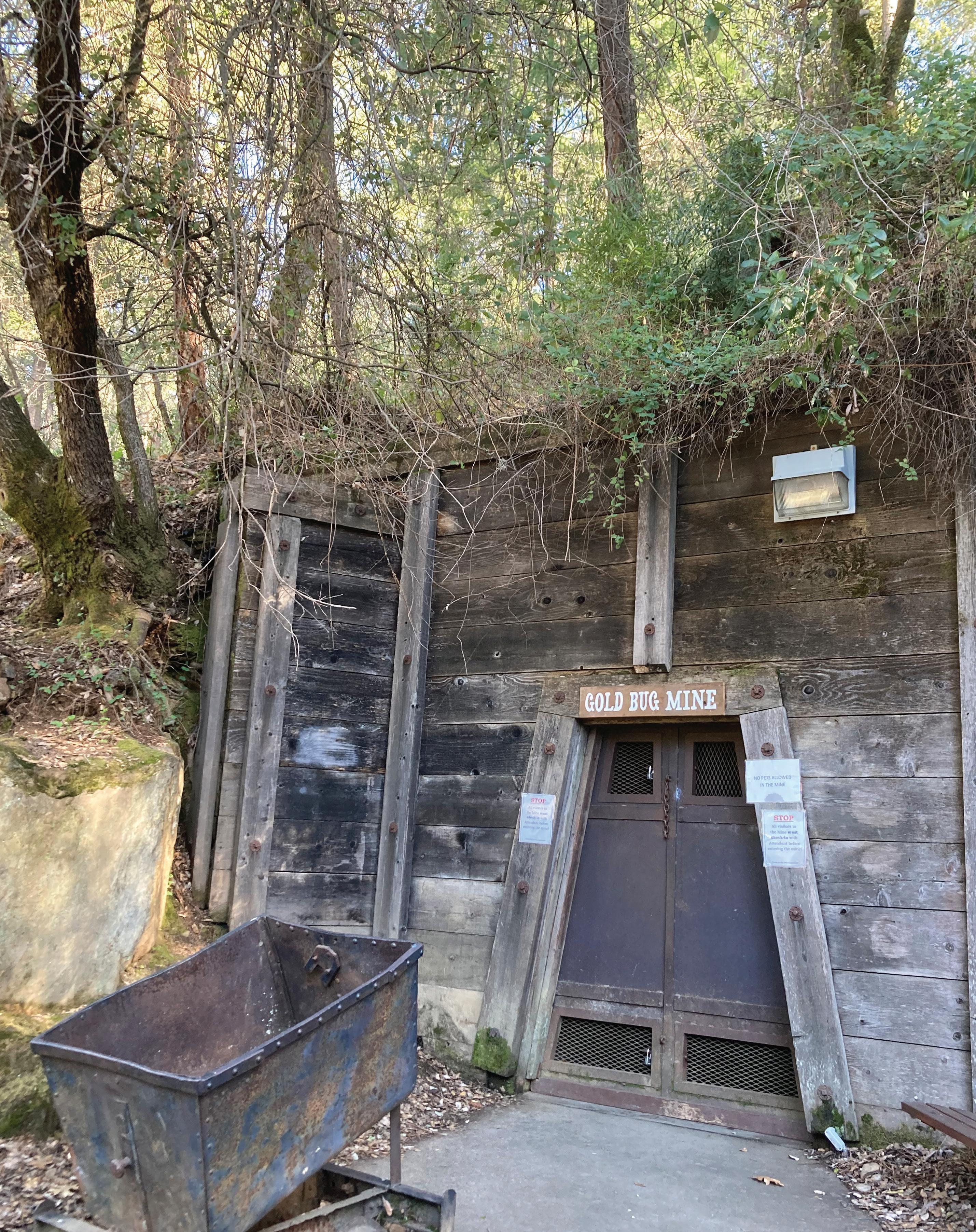

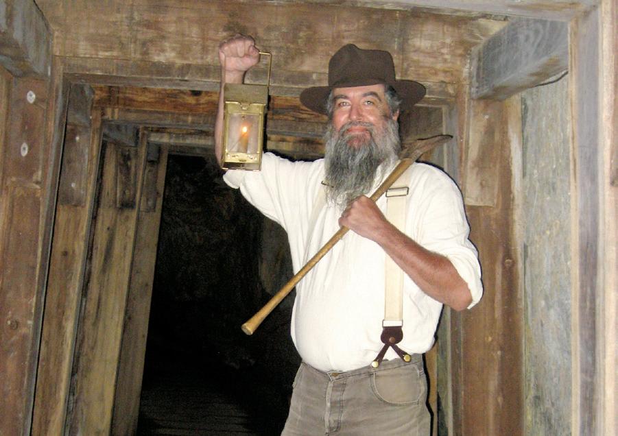
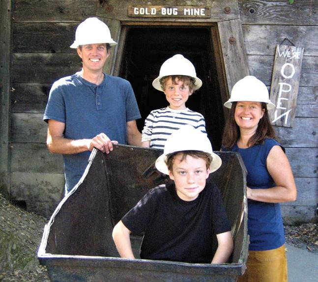
Passing by the golden poppies at the entrance to Placerville’s Gold Bug Park just north of town, one might think the nearly hidden little haven of history doesn’t have all that much to o er. However, park volunteers would have to disagree.
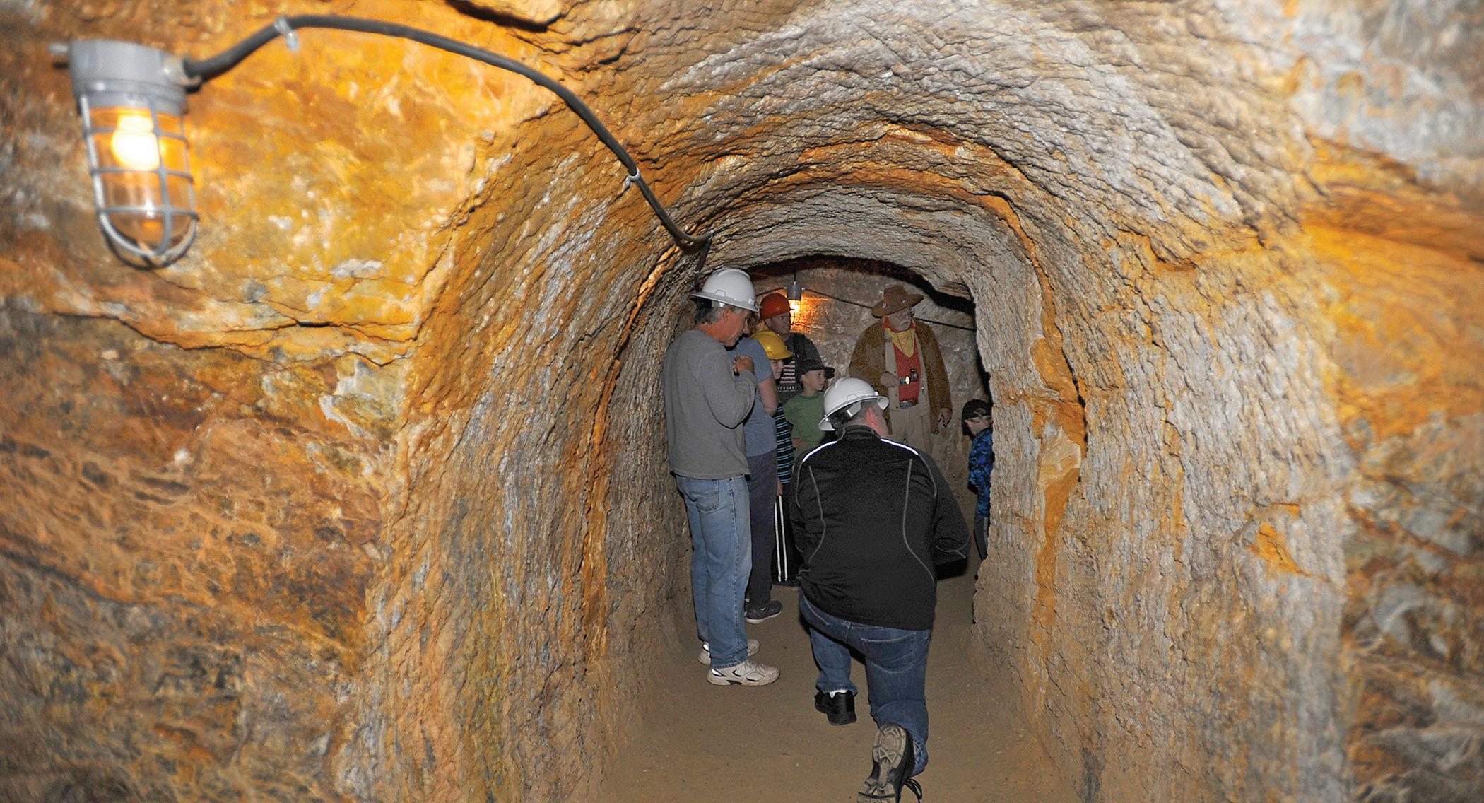
There are several history-loving volunteers on hand to show folks through Gold Bug Park and visitors are welcome daily from 10 a.m. to 4 p.m. imparted by the Gold Bug experts includes answers to questions tossed out by the students and others taking the tour.
What better way to understand the rigors and hardships faced by the Fortyniners than to see the actual pick-marks in the rock walls of the Priest Mine, which lies up Vulture Claim Trail from Gold Bug Mine.
“I wouldn’t have wanted to be a miner,” said a visitor from Southern California after hearing talk about the dynamite it required to blast through the rock — the job of the “powder monkey” being the most dangerous in the mines. “It looks way too hard.” Indeed.
A tour through the Gold Bug and Priest mines gives visitors an inkling of what it took to live this tough life, taking a pick to dig and slice through rock for a day’s wages.
The Priest Mine contains carefully chiseled archways likely designed and chopped by miners from Cornwall, England, who had come to this country once the tin mines in their homeland petered out. Chilean miners also lent their expertise in pursuing their own dreams of riches in the Mother Lode.
Once gold was discovered in January 1848 at Coloma, it wasn’t long before some $7,000 worth of gold nuggets was pulled out in two days from Big Canyon Creek that still winds through Gold Bug Park today. That happened when gold was $20 an ounce — most recently the price was running upward of $1,700 an ounce.
In other words, that was a lot of gold for two days’ panning in the creek and soon there were more than 240 claims staked in the 60-acre Gold Bug area.
After the easy pickins’ from panning the creek ran out, the miners turned toward the hard-rock hill where tantalizing veins of gold-bearing quartz beckoned, daring them to take pick and


FROM TAHOE:


FROM SACRAMENTO:


FROM AUBURN:


Take Hwy. 50 E to Placerville. Continue to the 3rd stoplight on Hwy. 50 at Bedford Avenue. Turn left at Bedford Ave., continue about one mile to the park entrance. Turn right on Gold Bug Lane into the park.
Take Hwy. 50 W to Placerville. Turn right at the rst stoplight on Hwy. 50 at Bedford Avenue, continue about one mile to the park entrance. Turn right on Gold Bug Lane into the park.
Take Hwy. 49 S to Placerville to Hwy. 50. Turn left. Exit at Bedford Ave., continue about one mile to the park entrance. Turn right on Gold Bug Lane into the park.

ax to burrow their way to fortune.
The tunnel at the lower Gold Bug Mine goes back 352 feet into the hill, while the Priest Mine is more compact but has a depth of 110 feet, with a 55-foot air shaft created by the sweat and toil of the hardy men.
Both mines are fascinating, with the imagination giving life to the driven souls who knew that their future lay just one more swing of the pick, just one more turn of the tunnel.
Unfortunately, because records were destroyed in three different fires that swept through Placerville over the years, no records are available of just how much gold was taken from the Gold Bug and Priest mines.
Visitors will be told of the unique mining terms used by those who sought to become rich, words like “drift” to describe the quartz they chased, “stope” for the wooden steps that aided in seeking the gold at different levels in the mine, “powder monkey” for the intrepid miner who handled the dynamite.
It was the powder monkey who was sent back into the mine in the morning after the charges from the day before had been ignited, blowing chunks of rock off the walls so the hunt for gold could proceed.
“ ” There’s nothing like the Gold Bug!
The dynamite blasts were counted and sometimes one would not explode — that’s when the powder monkey’s job became extremely dangerous, as he was the guy sent back in to check the faulty charge that could explode at any time.
But hey, that’s why they got an extra 25 cents a day.
After checking out the mine shafts, a short walk up a hill north of Hattie’s Gift Shop takes visitors to the Joshua Hendy Stamp Mill and Gold Bug’s blacksmith shop, must-sees on any trip to the park.
A quarter-scale replica of the Joshua Hendy Stamp contraption was built by El Dorado High School student Henry Garcia back in 1999, with the young man donating the working model to the park.
Gold Bug Park belongs to the city of Placerville, the only city in California with its own gold mine. The Gold Bug Park Development Committee was formed in 1980 to protect and present the property for public use and in February 1985 Gold Bug was listed on the National Register of Historic Places. It also is registered as a California State Point of Interest.
If you live anywhere near Placerville’s Gold Bug Mine or are visiting the area and haven’t taken the time to explore this historical treasure, do yourself a favor and this time don’t pass the poppies. Pop on in, pick up a gold pan, walk through the mines and marvel at the skill of the miners. This is one bug you’ll want to catch.
For more information visit goldbugpark.org or call 530-642-5207. Self-guided tours are also available. ■





Order
MONDAY-FRIDAY
SATURDAY & SUNDAY 9AM TO 9PM





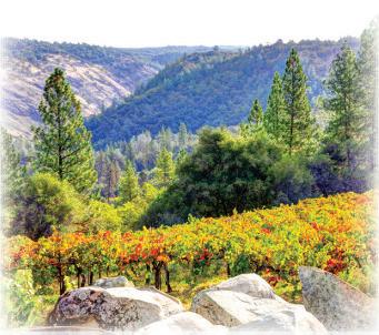
Gold Hill o ers picturesque views for wine and beer tasting in a relaxed and serene setting.
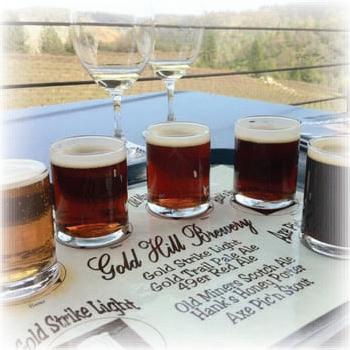
Gold Hill Brewery produces classic beer in traditional styles. O ering 6 beers on tap. Whether you enjoy a rich and malty Scotch Ale or a bright IPA, Gold Hill Brewery is the place to have a perfect pint.
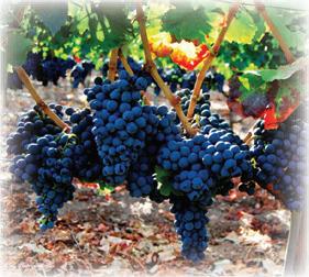
Gold Hill Winery produces all estate grown wines. With 11 varietals to choose from including California Champagne, you are bound to nd one to pair perfectly with a picnic on the deck overlooking the vineyards with a view of Mt. Murphy.
We o er both indoor and outdoor facilities to meet your wedding and event needs. Our banquet hall o ers the best of both worlds. Set amongst the vineyard, windows throughout the building give you a feeling of being outdoors.
Story by Pat Lakey | Photography by Pat Dollins and Krysten Kellum
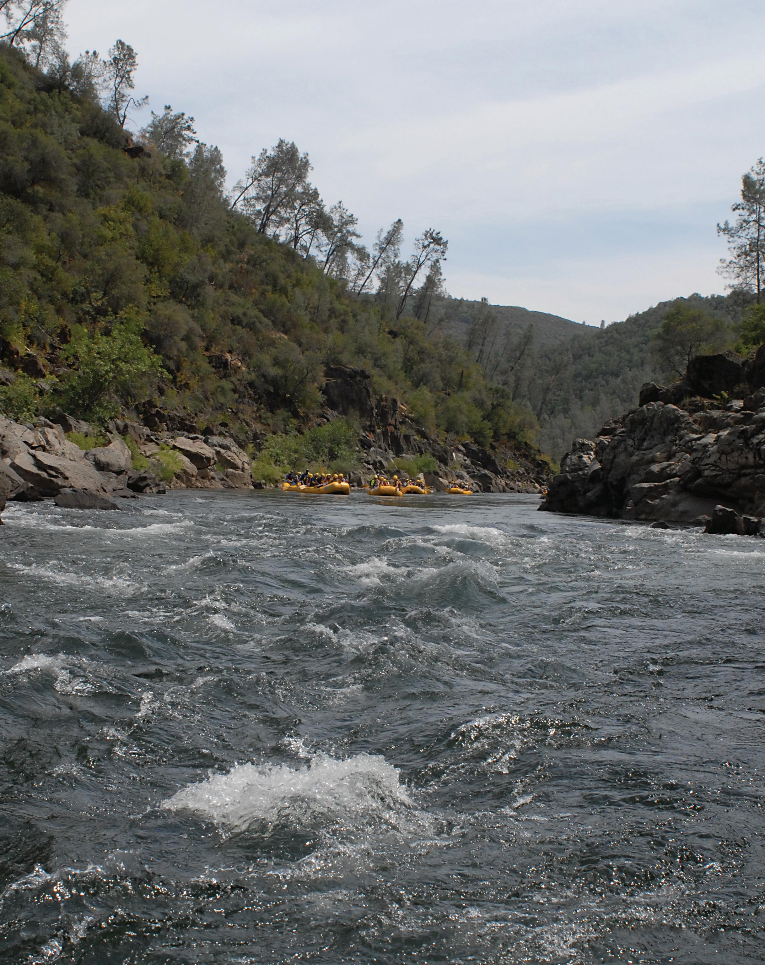
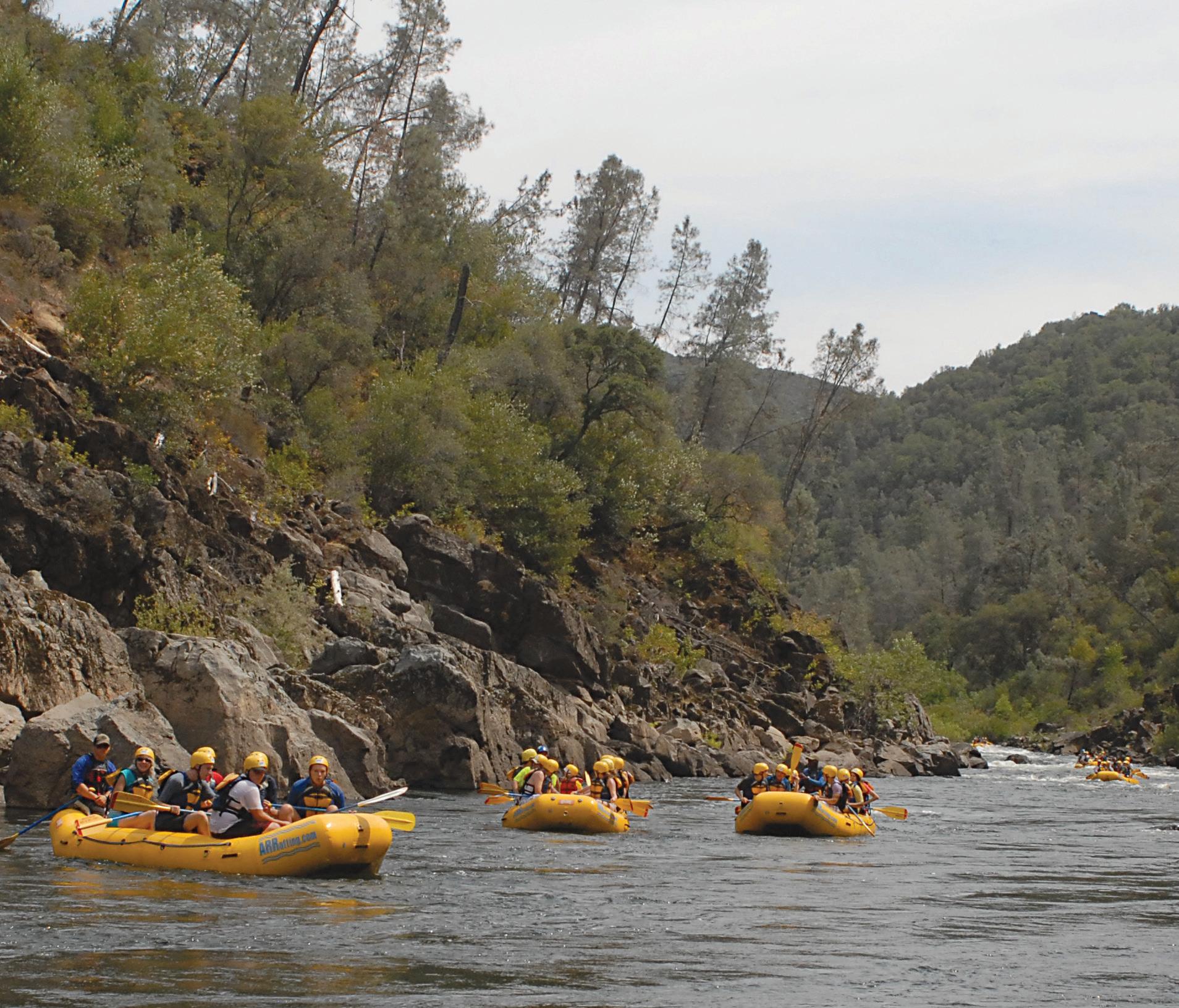
Watching the faces of the life-jacketed folks on board the bright yellow ra s oating down the South Fork of the American River, it’s clear that there’s one thing they all have in common. ey like to laugh.
If the thought crossed your mind that rafting looks like a lot of fun, it just might be time to get your feet wet.
There are more than 30 rafting companies ready to treat novices and experts alike to a spin down the famous rapids, which bear names like Troublemaker and Satan’s Cesspool, but don’t judge an adventure by its cover.
Rafting the South Fork, while thrilling, is nonetheless quite safe, thanks to the experts who perch on the back of the rubber vessels and guide you through boiling water.
Even a 60-year-old woman (the author) can make the delightfully daring trip with nary a cringe, her only regret coming when the raft shot the last rapid and it was time to catch the bus back home.
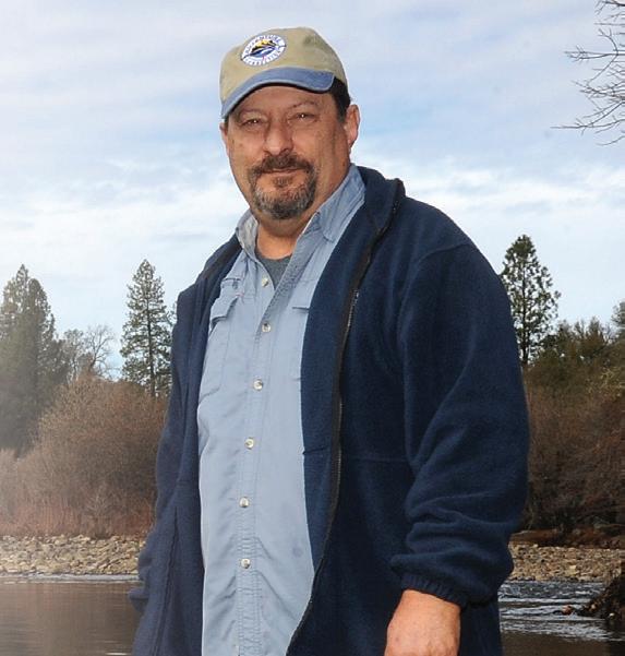
“A lot of the customers we get are beginning rafters,” said Nate Rangel, California Outdoors executive director “We all love the first-timers, who can be extremely apprehensive — almost fearful — and then we watch the metamorphosis as that trepidation turns to exaltation. They’ll say, ‘Is that the last rapid?’ and they’re almost upset because they want more.”


A promise heard from a majority of those making the daylong trip is that they will be back to try once again to get the best of the churning waves that crash over rocks, sending the rafts into eddies and stretches of calmer water that allow the adventurers to take a breath and get ready for the next challenge.
One- and two-day trips are the most common available, with several “put-in” spots along the river that winds through the historical town of Coloma.
Be sure to include a tour of Marshall Gold Discovery State Historic Park as part of your itinerary and check out the spot along the South Fork where

gold was discovered in 1848, triggering the worldchanging Gold Rush.
On one-day trips, some of the rafting companies will offer guests a lunch following the running of the upper South Fork, sustenance for a second stint on the lower stretch. Lunch begins the journey for those interested in a half-day trip, putting in at Camp Lotus.
Rafting guides tend to be younger folks and their smiling, healthy faces assure first-time rafters that they are in capable hands. Many are local youths, working a summer job that is anything but a 9 to 5 office chore, with the only “grind” being that of Meatgrinder Rapid, one of the Class 3 rapids on the upper South Fork.
Class 3 is right in the middle of the classification of rapids, from Class 1 to 6, with Class 6 being considered unrunnable by commercial rafters.


The South Fork of the American River consists mostly of Class 2 and 3 thrillers, and even in the drought of 2013-14 the rapids remained steady in their flow.
That’s because the rafting community in 2007 signed an agreement with PG&E and the Sacramento Municipal Utility District, entities that have rights to the water generated from 11 dams and reservoirs on the South Fork, to maintain flows so that the rafting industry is guaranteed enough water for five days of the week during peak rafting season, generally from April through October.

The arrangement also guarantees a healthy flow for power generation by SMUD and PG&E and preserves the ecological
Nate Rangel, California Outdoors executive director
health of the waterway, according to Rangel.
“That agreement gives us (rafters) a minimum 1,000 cubic feet per second of flow,” said Rangel, who added that usually the river will maintain a flow of between 1,300 to 1,500 cfs for rafting.
And that makes for a lot of excitement.
As your rafting guide drifts the craft toward the river bank where riders await, for some the adrenaline gets to flowing faster than the river. Step gingerly into the raft, grab an oar and settle on your chosen side. (First-timers tend to want to sit inside the raft, snug and safe on the rubber floor but that doesn’t work, the author soon learned.)
Perched over the water, oars ready, half-a-dozen women assigned to a raft guided by a young gentleman laughed in anticipation as they positioned their feet and rears for the most secure seating, then awaited instructions.
The guide, looking like he materialized out of a Mark Twain story, smiled widely at the six ladies under his care for the next two hours. His grin helped settle the butterflies that had found their way on board and as the raft floated smoothly to be taken into the embrace of the South Fork, the gals were under way.
Remembering the safety talk given onshore a few minutes before launching, the women practiced their paddling, making sure not to strike one another and soon synchronicity ruled.
Oars dipped, the raft shot forward and the day became bright with possibilities.
A long stretch of calm water worked to soothe the pent-up mind — and then there it was. The first rapid, this one called Barking Dog.
Sweeping into the flow, the guide called, “Forward paddle, paddle, paddle!” and amid riotous laughter, the women found themselves twirling in the water as the raft seemed to know the way by itself. Barking Dog, a Class 2 rapid, was a pussycat.
Now that they had their river legs firmly in place, the ladies found that the next few rapids, also Class 2, were eagerly anticipated and one younger gal was even heard wondering, “Where’s the big stuff?”
Should they fear monotony, the guide mixed things up a bit by jumping into the river and disappearing from sight. Surprised looks had no time to give way to fright before the guide popped his head from the river, saying, “Anyone for a swim?”
None from our raft took up the offer but several of those in the dozen or so other rafts on the river that day, all varicolored and from different companies, jumped in to join the fun.
Following the dip, one swimmer was picked up by a different raft, then returned to his own.
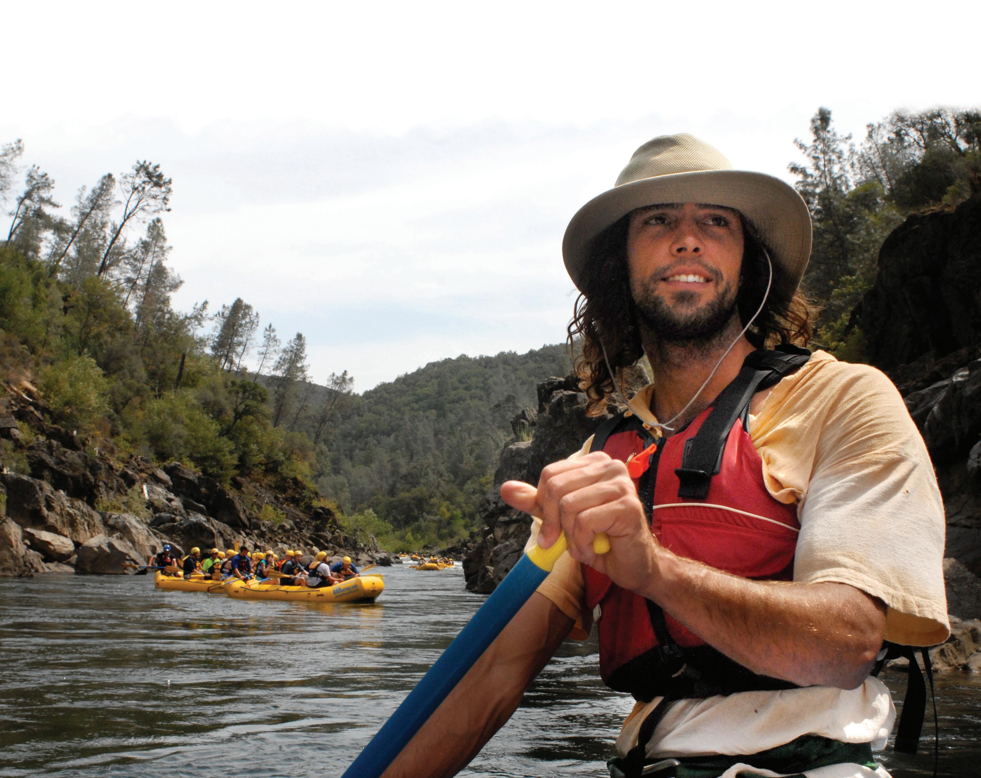
Rangel explained that the rafting companies on the South Fork all support each other, with the safety of the rafting public being their foremost concern. The camaraderie on the river adds to the entire experience, with the great time shared with shouts and laughter from raft to raft.


between passing rafts brings to mind nothing more threatening than the squirt gun your little brother once brandished.
whole rafting deal isn’t so tough,” and are finding they are relaxing, letting their troubles float downstream for the day.
attention to a landmark on the horizon, a tall pine with a unique, rounded top known as the “Lollipop Tree,” thoughts drift toward fairytales of candy towns and dancing elves.
ready for what?




Weddings

its sweet moniker, actually marks the spot where the river canyon narrows and swiftly pulls watercraft toward not only Satan’s Cesspool, but also features such delights as Deadman’s Drop, Hospital Bar and nine other Class 3 rapids.
You can’t fasten your seatbelt but you’re in for a bumpy ride.
Whoops and shouts greeted each successive rapid, with riders grinning widely as cameras snapped from strategically placed photographers on rocks who offer the shots for sale following the trip. Don’t try to look cool as you see the photographers snapping
range of ages, with kids from 8 to over 80 welcome (use common sense regarding health situations). Packages vary in price, from a streamlined trip (no lunch) to a two-day package that includes camping and some meals. A three-day package is offered on a limited basis and some companies include fine wines and gourmet meals.
Check out individual Websites. ■


We are booking now for 2025 and 2026
Camping/Glamping


Open April 1 October 31


Camp Nauvoo offers a unique Creekside venue to experience your dream wedding, family/ group reunion or corporate event for up to 125 participants. We specialize in camping group events and weddings. For those that enjoy camping in the outdoors our venue site offers glamping tents, teepees and cabin tents along with a lodge and kitchen. Recreational activities include hiking, shing, volleyball, basketball, meadow games, playground and camp re at the amphitheater seating re bowl. www.campnauvooplacerville.com
















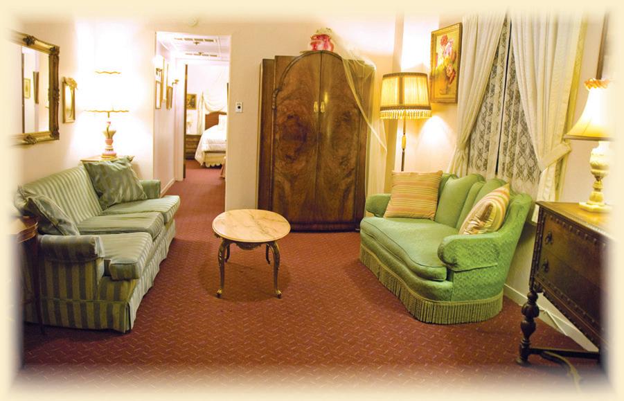


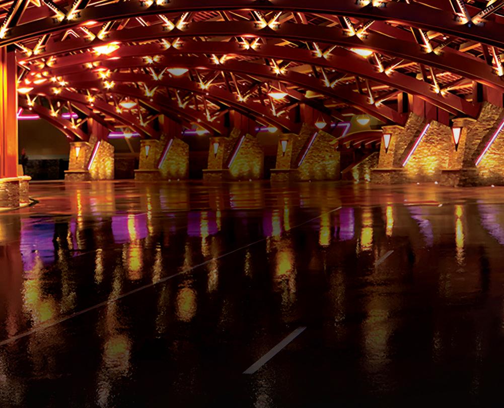

Red Hawk Resort + Casino truly is your staycation destination for the entire family! Relax in style then double down on fun in our award winning casino and spectacular Apex amusement center. And, of course, your taste buds win too at any of our award winning restaurants!

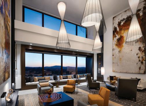


Celebrating 15 Years of Excellence


