1 minute read
Discover Barbados


166 square miles Highest point: Mt Hillaby, 1,102 feet
Twenty-one miles long by fourteen wide, Barbados is a coral outcropping east of the Antillean chain, and this geology creates a distinctive limestone landscape. There’s no better place to explore it than Harrison’s Cave, an extensive subterranean system of caverns and tunnels, festooned with bizarre limestone formations. Known for hundreds of years, the cave system was surveyed only in the 1970s, and developed as a tourist attraction. An electric tram takes you deep into the earth past waterfalls and pools, for a drive-through spelunking experience. Geological history comes to the surface along the island’s east coast, where the rolling hills of the Scotland District fall abruptly into the Atlantic, met by waves that have travelled thousands of miles across the ocean. Mushroomshaped rock stacks are carved by constant erosion, and wave conditions make Bathsheba a magnet for surfers. For a glimpse at Barbados’s original vegetation, visit Welchman Hall Gully with its linear expanse of tropical forest — this is what almost all of Barbados looked like once.
Advertisement

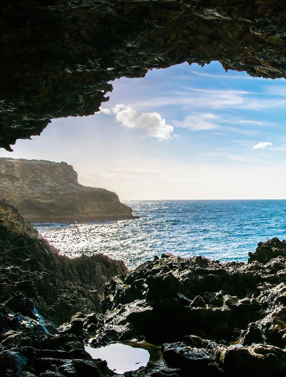
Enjoying the view from Animal Flower Cave near the northernmost tip of Barbados.
Photo courtesy Barbados Tourism Marketing Inc
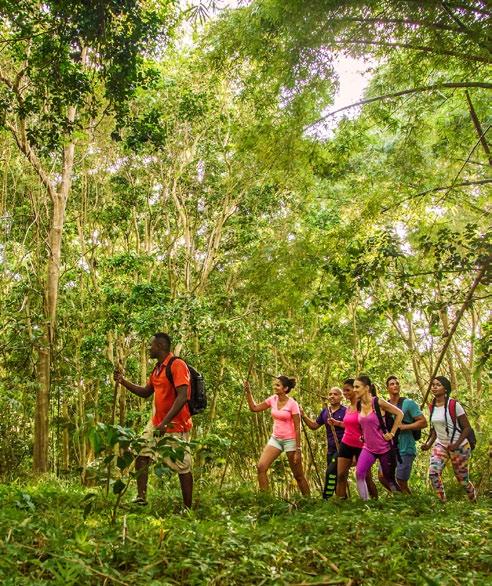
Exploring a stretch of forest in the interior of Barbados.
Photo courtesy Barbados Tourism Marketing Inc