12 minute read
Our environment


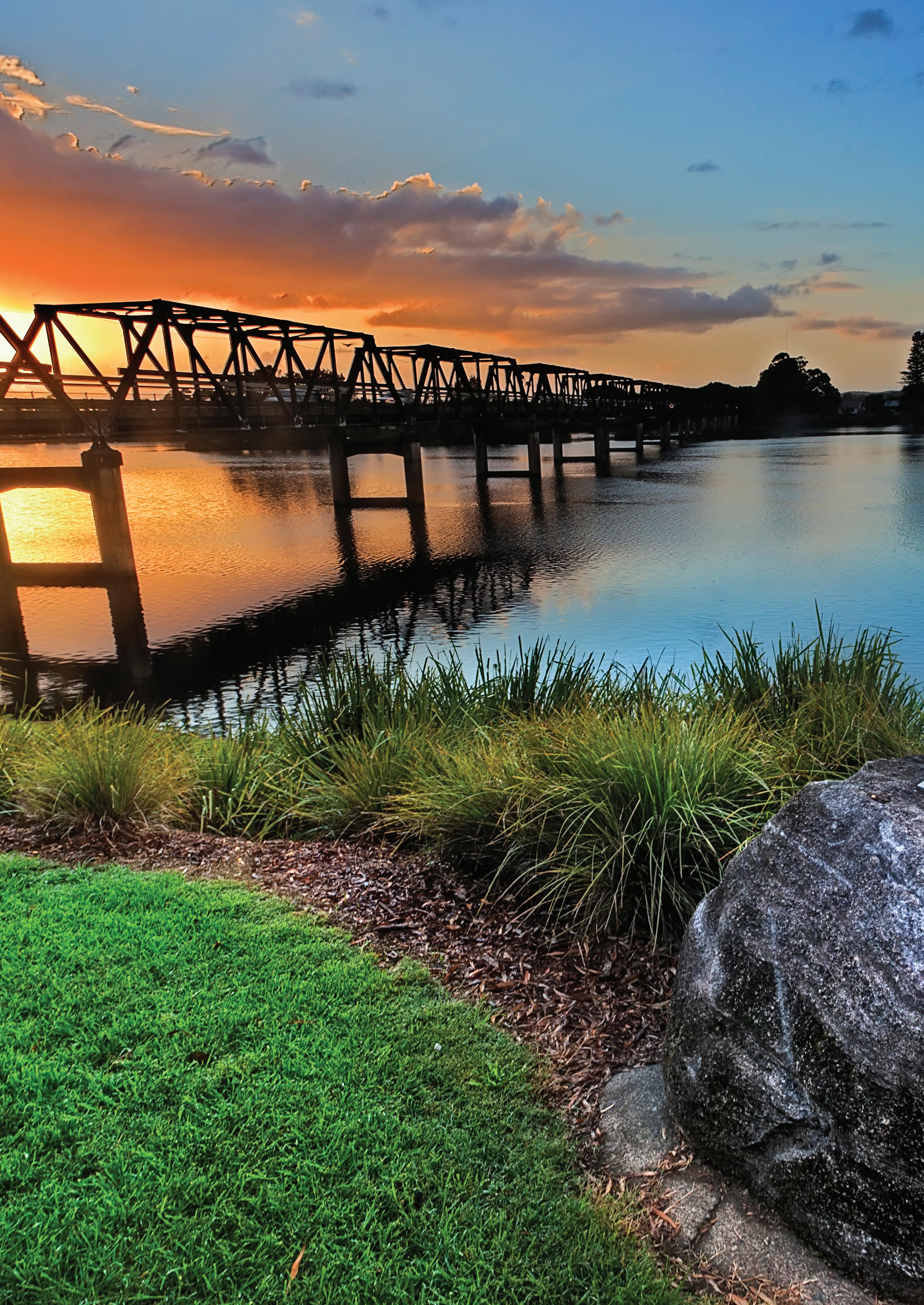
Planning priority 6 – Protect and improve our environment
The natural environment is a priority for our community (Customer Satisfaction Survey 2020). Relative to other areas of the Hunter, the MidCoast contains extensive waterways, coastal landscapes and diverse natural areas with high levels of biodiversity. Whilst having diverse landscapes and species, our biodiversity is under pressure. Habitat loss, degradation and fragmentation from clearing, introduction of invasive plants and animals, the impacts of climate change and catastrophic bushfires have pushed biodiversity and natural ecological systems into serious decline, undermining their uniqueness, quality, productivity and amenity value. Alongside these environmental lands and waterways, our rural activities contribute to our region’s landscape and economic viability. Together these areas make up 98% of the MidCoast. The level of environmental base data and the approaches used to manage the environmental values of the land across the three sets of planning controls differs significantly. For example: • the Great Lakes LEP incorporates numerous clauses and mapping layers to identify the environmental values of the land, including wetlands and watercourses • tree preservation orders are applied to areas of the Great Lakes region only • environmental clauses are included in both the Great Lakes and Greater Taree LEPs, focusing on improved environmental outcomes. The Greater Taree clause is limited, only applying to the ‘Big Swamp’ location.

Council has a range of strategic documents underway to provide a coordinated, adaptive and consistent platform to remediate, restore and protect our catchments, natural areas and biodiversity across the MidCoast. In collaboration with stakeholders and the community, these strategies will assist Council to conserve the region’s natural assets in a measured, appropriate and efficient way. The MidCoast Biodiversity Framework will provide an evidence based framework for retaining and improving biodiversity. A key initiative will be the development of planning controls to guide future development, which will be incorporated into the MidCoast LEP and DCP. The success of the Biodiversity Framework is reliant on the development of partnerships with community groups, landowners, the NSW Government and neighbouring councils, to ensure important habitats and their connections are maintained. The Greening Strategy aims to protect and increase vegetation in and around our urban areas to improve environmental, community and economic outcomes. Looking at opportunities to green our open space and urban spaces, this project will develop partnerships with local communities to ‘green’ their neighbourhoods. Both the Biodiversity Framework and Greening Strategy will build upon the NSW Government’s Hunter Blue Green Grid Project aimed at improving the quality and connectivity of our environmental lands and open spaces across the Hunter. Coastal Management Plans and climate change planning are outlined in Planning Priority 7. The review of the environmental zones forms part of the Rural Strategy (refer to Planning Priority 8), with the aim being to consistently apply our environmental zones across the MidCoast and renew our planning controls to ensure they are protecting important ecological habitats and corridors. These planning controls will be incorporated into the MidCoast LEP and DCP.

ACTIONS: TIMEFRAME:
6.1 To protect the biodiversity of the MidCoast, by developing and implementing the MidCoast Biodiversity Framework
6.2 Work with the NSW Government, neighbouring Councils, landowners and community groups to improve environmental, water quality and biodiversity outcomes for the MidCoast
6.3 Prepare and implement the MidCoast Greening Strategy aimed at greening our neighbourhoods
6.4 Work with the NSW Government and other Councils to develop the Hunter Blue Green Grid Project Short term
Ongoing
Short term
Short term
Relationship to other plans: Hunter Regional Plan 2036 – D14, D15, D18, D20 MidCoast 2030 Shared Vision, Shared Responsibility – L1, L2, L3, C1, C2, CC4, E1, E2, E3, GE1
Natural disasters are a common occurrence across the MidCoast. Since 2009, the MidCoast had twenty-three natural disaster declarations; the second worst affected Council in NSW (NSW Office of Emergency Management, 2020). These disasters include bushfires, storms and flooding, and issues associated with coastal erosion. The drought experienced in recent years and Covid-19 in 2020, have both significantly impacted our residents and businesses.
Bushfire
In late 2019, the MidCoast suffered a catastrophic bushfire event with the loss of life, and 617 properties damaged or destroyed. Many of the losses occurred in our rural and natural environments, and threatened a significant number of our towns and villages. The fire burnt through 2,371km2 representing 23.5% of the Council area. With learnings from this event and others across NSW, we will work with the NSW Government to establish a more strategic approach to planning and managing bushfire risk in accordance with the NSW Government’s Planning For Bush Fire Protection. Council will continue to work with the NSW Government and landowners to ensure that they are prepared for the threat of bushfire, and that there is adequate infrastructure to support them in the event of fire. Flooding
Flooding is a common occurrence given the extensive river catchments in the MidCoast, which include the Manning River, Wallis Lake and the Karuah River. Across the three former Council areas, the level of flood information and assessment tools varied. A schedule for the development of Flood Risk Management Studies and Plans for the Manning River, Gloucester River, Karuah River, Stroud, Bulahdelah, Port Stephens, Wallis Lake and the Wallamba River is currently underway. Land use planning outcomes will be included in the MidCoast LEP and DCP. Projects with State Emergency Services (SES) aim to achieve improved access to information and greater clarity for evacuation thresholds during flood emergencies.


Coastal hazards
Beaches, headlands, littoral rainforests, dunes, creeks and estuaries are all key assets for our community. Storms, waves and large tides have caused erosion and the loss of land, while wave over-wash can inundate assets. The frequency and intensity of these coastal hazards are expected to increase in the future, increasing our exposure to coastal risk. The NSW Government identified fifteen coastal ‘hotspots’ along the NSW coastline where the impact of coastal hazards and the risk to assets is high. Two of these hotspots are located in the MidCoast - at Jimmys Beach near Hawks Nest and at Old Bar/Manning Point. Under the NSW Coastal Management Act 2016, we are consolidating and updating our approach to coastal management. A Coastal Management Plan is being developed for Old Bar/Manning Point, alongside an Open Coast Coastal Management Plan that will cover the remaining MidCoast coastline. By 2025, a unified MidCoast Coastal Management Plan will be completed. The outcomes of these plans will be incorporated into the MidCoast LEP and DCP and may result in amendments to the State Environmental Planning Policy (Coastal Management) 2018.
Water security
Recently NSW experienced one of the most severe droughts on record with some of the lowest recorded river flows in history. In our region, we experienced reduced water security across our five water supply schemes, leading to severe water restrictions, involving the restriction of outdoor water use. In 2019, improvements to the Nabiac Aquifer Water Supply System increased the water security of the Manning Water Supply Scheme, being the largest of the five water supply schemes.

Additional long term solutions are required in order to provide a secure supply and ensure water resilience for the region. Solutions include off stream storage for the Manning, Gloucester, Bulahdelah and Stroud Water Supply Schemes. Increasing the use of recycled water for non-potable uses will also contribute to water resilience, by reducing the pressure on drinking water supplies.
Climate change
MidCoast Council resolved to declare a ‘Climate Emergency’ in October 2019, recognising that a state of climate emergency currently exists. Council affirmed that urgent action is required by all levels of government to take clear steps to avert a climate crisis. This declaration recognised Council’s commitment to mitigating the impacts of climate change by planning for unavoidable impacts that include: • an increase in the number of extreme fire weather days and bushfire risk • sea level rise resulting in inundation of low-lying areas, wave over-topping and accelerated coastal erosion • an increase in the frequency of storm events and intense rain periods • changes in annual rainfall, a decrease in winter rainfall, stream flow and water supply • an increase in the number of hot days. Health issues
Coronavirus ‘Covid-19’ was declared a disease of pandemic potential in Australia on 21 January 2020. Council is responsible for working closely with the NSW and Federal Government to support preparedness, implementation of response measures and recovery, as well as communication of messages to the local community. Council has also helped ensure that local businesses comply with Covid-19 Public Health Orders.

ACTIONS:
7.1 Work with the NSW Government to establish improved bushfire preparedness and flood planning practices
7.2 Complete the schedule of Flood Risk Management Studies and Plans for the Manning River, Gloucester River, Karuah River, Stroud, Bulahdelah, Port Stephens, Wallis Lake and Wallamba River to address flooding across the MidCoast
7.3 Develop and implement a Coastal Management Plan for Old Bar/Manning Point and the remainder of the MidCoast (referred to as the Open Coast) to ensure coastal hazards are considered in future planning
7.4 To provide water security for the MidCoast, investigate off stream storage for Gloucester, Bulahdelah and Stroud
7.5 To provide water security for the MidCoast, develop the concept design for Peg Leg Creek Dam near Tinonee, and increase the level of recycled water use for non-potable purposes
7.6 Consider climate change in our future planning through the development and implementation of a Climate Change Adaptation and Mitigation Plan
7.7 Work with the NSW Government to help build on the community’s resilience and recovery capacity to natural disasters and climate change.
7.8 Work with the NSW Government and Federal Government to determine how future pandemics can be managed, and the role council plays.
Relationship to other plans: Hunter Regional Plan 2036 – D11, D15, D16 MidCoast 2030 Shared Vision, Shared Responsibility – L1, L2, L3, C1, C2, E1, E2, E3
TIMEFRAME:
Short term
Short term
Short term
Short term
Medium term
Short term
Ongoing
Ongoing
The MidCoast Regional Economic Development Strategy (REDS) is a NSW Government initiative aimed at collaborating to build sustainable economic development for the MidCoast. Our land and water assets were identified in the REDS as one of three key regional strengths. Agriculture, aquaculture, forestry (including associated product manufacturing) and mining are important industries in the MidCoast, accounting for approximately $478 million in exports, which is over 55% of the region’s total exports. They make a Gross Value Added (GVA) contribution to the local economy of $388 million. Much of the rural area is used for agriculture, primarily dairy and beef cattle grazing, with a growing poultry industry. Timber production has been historically significant, however this industry has declined in recent years. Oyster farming is an important aquaculture activity along our coast, while coal mining operates in the Gloucester coal basin. Along with fishing, the MidCoast Regional Economic Development Strategy identified the economic importance of these rural industries as the top specialised industries in the MidCoast when compared to NSW. While these industries do not generally employ a large number of people, they have a competitive advantage as specialised industries for our region. For example, the Wallis Lake is one of the largest producers of Sydney Rock Oysters in the state, accounting for 24.5% of production in NSW. The recent drought, bushfires and COVID-19 resulted in significant impacts on these activities in the MidCoast through reduced productivity, loss of infrastructure and stock, and a downfall in some markets. Moving forward, the MidCoast Regional Economic Strategy indicates that there are opportunities to strengthen and grow these key industry sectors. These include boosting productivity in agriculture through greater use of technology and innovation, growing the local aquaculture industry and leveraging advantages for freight and logistics.

Rural lands are affected by three sets of planning controls which when applied, lead to inconsistent rural outcomes. Some of the plans are over 10-years old and need to be renewed to reflect current farming practices and to address the rural challenges and opportunities for growth experienced across the MidCoast. There are numerous development pressures on our rural lands, ranging from large scale housing developments to small subdivisions, or requests to place houses where currently none are permitted. We need to ensure that our good quality agricultural land is protected, while providing flexibility to support new farming practices, rural tourism, niche rural industries and opportunities to value add to rural produce. We have important rural industries that supply markets across NSW, that are sometimes subject to land use conflicts. Conflict can be from expanding urban development, impacts on water quality or from people seeking a rural lifestyle. We need to ensure that these activities are protected, while encouraging sustainable practices. Support industries are crucial, such as the beef abattoir in Wingham (export licensed), seafood processing, sale yards, saw milling facilities and mining infrastructure. We need to ensure that these industries can be developed in locations that support the rural sector. In addition, inter-regional transport connections are needed to deliver produce to markets outside of the MidCoast, like the Pacific Highway, The Bucketts Way and Thunderbolts Way. Given these are important economic factors they are considered in Planning Priority 9. The Rural Strategy will examine these historic and emerging pressures on our rural lands, with the aim to maintain and where possible enhance the viability of rural activities and build upon opportunities. The Rural Strategy’s focus extends to all lands outside our towns and villages; it also considers environmental lands and waterways. Given the extent of these lands, their contribution to our scenic landscape will be explored, along with measures to build upon nature- and adventure-based tourism.

The four goals of the Rural Strategy are to: • protect natural landscapes • sustain primary production opportunities • enhance rural lifestyles and livelihoods • improve planning and plan-making in practice The Rural Strategy will provide clear and consistent land use planning and management principles to inform the preparation of the MidCoast LEP and DCP (refer to Planning Priority 1).

ACTIONS:
8.1 Identify and protect the rural and environmental values of the MidCoast and explore opportunities to support and grow our rural sector through the Rural Strategy
8.2 Work with the NSW Government to develop and implement the Important Agricultural Land mapping
TIMEFRAME:
Short term
Short term
Relationship to other plans: Hunter Regional Plan 2036 – D9, D10, D11, D13, D14, D17 MidCoast 2030 Shared Vision, Shared Responsibility – L1, L2, L3, C1, C2, E1, E2, E3, GE1, GE2, GE3