Summer 2023


Summer 2023





522 Sinclair Lewis Avenue Sauk Centre, MN 56378
www.MnTrails.com
Minnesota Trails Staff
Jan Lasar
Editor/Publisher
Joyce Frericks Accounting
Karen Knoblach
Page Layout & Design
Graphic Design
Editorial Board
Brett Feldman
Executive Director

Parks & Trails Council of Minnesota
Vol. 28, No. 2
May 2023
Minnesota Trails magazine is a continuation of Minnesota Bike Trails & Rides, published quarterly in cooperation with the Parks & Trails Council of Minnesota, a nonprofit organization that acquires, protects and enhances critical lands for public enjoyment. Your $35 membership subscription supports this work.

Minnesota Trails is not responsible for the return of unsolicited materials and reserves the right to reject unsuitable advertising. Information in this publication is as accurate as possible. Opinions expressed are those of the authors and not of Minnesota Trails.

Continuing the
EAT / DRINK
DEERSTAND RESTAURANT & BAR 24188 Mohs Street, Deerwood (218) 534-9253
www.deerstandrestaurant.com

Why limit happy to one hour?
CUYUNA LAKES STAY 23688 Forest Rd, Deerwood (218) 866-2325

www.cuyunalakesstay.com
Nightly, weekly, monthly lodging
23457 Co. Rd. 31, Crosby (218) 838-6858
CYKEL 324 Curtis Ave, Ironton (218) 772-0177
www.cykelonline.com

Bike sales, bike rentals, bike repairs & custom bike builds


OARS-N-MINE 22640 MN-6, Crosby (218) 546-6912

www.oarsnmine.com
Docks, lifts, bait and tackle
THEHUDSON N
THE HUDSON 208 Curtis Ave., Ironton (218) 772-0096
www.hudson218.com

www.redriderresort.com

Cabins and camping right off the trail
Food, coffee, beer, wine & cocktails
ffee, wine & CONITECAN TE E
TACONITE CANTEEN 240 Curtis Ave, Ironton (218) 545-2220
www.taccanteen.com
Patio seating with full menu and bar
SPECIALTY STORE
COMMON GOODS 27 W Main St, Crosby (218) 772-2999
www.commongoodsmn.org

Locations in Crosby, Baxter & Crosslake
VICTUAL 124 W Main St., Crosby (218) 545-1000
www.shopvictual.com
Ice cream, cheese, charcuterie, gourmet, gifts, spirits
SERVICES
www.coldwellbankercrown.com
Serving the Cuyuna Lakes and surrounding areas (218) 546-8346
TIMBER BUILDING SUPPLY & ACE HARDWARE 14506 State Highway 6, Deerwood (218) 678-2063
www.timberbuildingsupply.com

Your local building supplier
FINANCIAL
DEERWOOD BANK 21236 Archibald Rd., Deerwood (218) 534-3111
www.deerwoodbank.com


CUYUNA LAKES CHAMBER 21236 Archibald Rd, Deerwood (218) 546-8131


www.cuyunalakes.com
CRMC SUPER ONE Walk-In Clinic – Pharmacy Inside Crosby Super One Store (218) 545-5350

www.cuyunamed.org
Banking Made Nice & Simple
MID MINNESOTA FEDERAL CREDIT UNION 117 West Main Street, Crosby (218) 546-5428
www.mmfcu.org
Member owned and working for you
Cuyuna Lakes Chamber members are open & ready to serve you! 218-546-8131

www.CuyunaLakes.com are open & to serve you




people saving special places


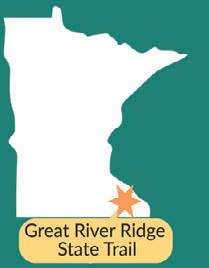
Anyone who has traveled on the Great River Ridge State Trail in southern Minnesota has likely wondered why the trail abruptly ends
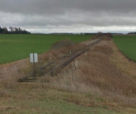
9. Across the road, a rusty railroad track reveals the corridor’s original use, but no trains have traveled these rails for years. So why hasn’t it been converted into a trail?
working to make that trail extensionship to the Minnesota Department
Several other trail projects are underway in this area, which promise interconnected trail system between Rochester and nearby smaller towns with parks.


One of these projects is happening
which is located about three miles west of the Great River Ridge State Trail’s planned terminus at Hwy 14.
parksandtrails.org
corridor allows the trail to extend south to U.S. Highway 14, near the city of Eoyta. Recently, this highway segment was made more pedestrian friendly with a roundabout and pedestrian crossings. Such improve-ing the two-lane highway into Eoyta.
crews have started building a scenic trail that will run southwest through connects with a recently completed city trail in Rochester. Planners are for the one-block-long gap. This trail may be done by the summer.
Bicyclist at the trail terminus at abandoned railroad has recently been transferred to the MnDNR to extend the trail.


working together through the many
ABOUT


This 13-mile paved trail travels through a pastoral farmland and river valley landscape in southeastern Minnesota near Rochester. It was built on a former railroad corridor and for horseback riding and snowmobiles. Take a virtual tour of the trail at parksandtrails.org/

and happen in bits and


A week befo a le arrived in m clockwork. teased in la receive ganizer.” it to my laughe have y g had lette recyc that was that But my though num and The AARP letter, ha discoun shoes, had sh m st y

A week before my 50th birthday, a letter from AARP arrived in my mailbox, like clockwork. “Join now,” it teased in large print “and receive this free trunk organizer.” When I showed it to my wife, Jen, she laughed. “Boy, they have you figured out,” she said. We had a chuckle, the letter went into the recycling bin, and
But my thoughts kept returning to that number 50, again and again. The wretched AARP letter, harbinger of senior discounts and Velcro shoes, had shaken something loose in my mind and I began to take stock of where I

was and where I’m going. In April of 2014, I gave two weeks’ notice at the cabinet shop I had been working at for almost 15 years and in May of the same year I was part owner of Minnesota Trails Magazine. I never regretted this move. My life is better now and I love what I do. I meet interesting people and know so much more about Minnesota now. Even though I wasn’t born here, I have lived here the longest and by now my blood runs buffalo plaid.
There is a dark side to all of this. When I went from contributor to owner of the magazine, I inadvertently made a deal with the devil. He gave me the freedom to plot my own course and take a day off without filling out a request form, but in return he took my bike seat and turned it into an office chair. No matter how much I yearn to be a swashbuckling paparazzo who roams the land with a camera around his neck and a notebook between his teeth, my butt is parked in that chair most days. As a result, the last nine years have not been kind to my waistline and unlike a 50-year-old Scotch, I have not aged well from the neck down.
“When did I make the crossover?” asks an exasperated Doug Heffernan, played by comedian Kevin James, in an episode of the sitcom King of Queens, when he finds out his wife has secretly been buying his clothes at a Big & Tall store. “I’m certainly not tall!” he calls out.
I would very much like to not have that conversation, ever, so I decided to get back in shape. When I punch out after my last day of work, I’d like to still be able to hop on my bike and go for a ride, so I came up with a plan.


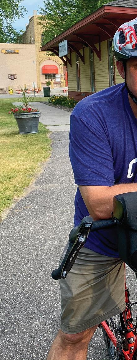

I'm making it official here and now that I’m going to ride a century, aka 100-mile bike ride, and I have begun training. Over the next few months, I'll be putting in regular rides of increasing distance until I feel I’m ready. To track my progress, I’m going old school with a fully analog calendar, which I hung on the kitchen wall to tell me the black and white truth. I also had a professional bike fitting to address some nagging upper back issues that sometimes cut my rides short. One thing I've learned so far is that a 30-mile ride right out of the gate, with winter-shriveled legs and an un-calloused posterior, is a bad idea. As I’m writing this, at the end of April, I’m up to 86 miles for the month, so I’m off to a good start.
A second letter from AARP just arrived, but I didn’t sign up because I already have a trunk organizer.
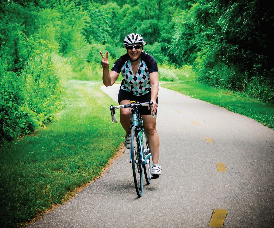
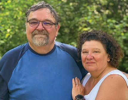
Occupation: Retired
Seen: Welcoming campers as camp hosts at Monson Lake State Park
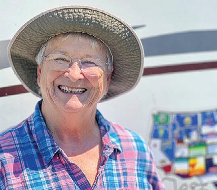
Gear: Wildwood Heritage Glen travel trailer.
How many times a year do you camp? JC: About 10 -12 times.
What made you decide to be camp hosts? GC: We like camping and this was kind of on our bucket list.
How long is your engagement here?
JC: One month. You can sign up a month at a time online.
What are your jobs as camp hosts?
GC: We’re involved in the care of the park. We clean the bathrooms and fill the toilet paper and report things that need fixing. JC: We also keep an eye on the firewood levels in the wood shed and answer general questions.
What does being outdoors mean to you? JC: It’s relaxing, getting away. The bird watching is amazing here.
Favorite Minnesota state park? JC: We love Maplewood State Park.
Best Minnesota experience? JC: I don’t know if I have a best experience, I just enjoy everything.
Advice for the novice camper? JC: Start minimal. GC: You don’t really need all the extreme stuff
What would you do with $1,000?
JC: I’d love to charter a boat and go trout and salmon fishing.
Trail Treat? JC: Homemade chocolate chip cookies baked in the Dutch oven over the fire.
Occupation: Retired concrete truck driver
Seen: Bike camping at Kilen Woods State Park.
Gear: Trek 7500 hybrid bike and a B.O.B bike trailer.
How many miles do you bike a year? It’s September and I’m at 3,600 right now.

What does being outdoors mean to you? It means living for the moment, living for right now. It’s just freedom, I guess.
Favorite Minnesota state park? Beaver Creek Valley, it’s secluded down in a valley and has a little spring fed stream running through it. It’s quirky and I like it.
Why do you go on these long rides? I go out of my shell. I get out of my isolation and I meet new people and tell stories and hear stories.
Best Minnesota experience? A nice, strong tailwind.
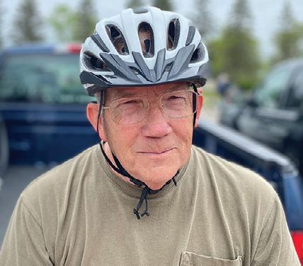
Worst Minnesota experience? Riding up Highway 65 near Sandstone in the rain with a headwind and getting a flat tire.
Advice for the novice bike traveler? Do an overnighter to start out with. The more you do it, the more you’ll learn.
What would you do with $1,000? I would put it toward a new bike. Trail Treat? I love watermelon.
Occupation: Retired Accountant, teacher and SCUBA Diving instructor. Seen: Camping at Lac Qui Parle State Park.
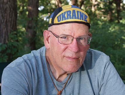
Gear: A 25-foot Arctic Fox travel trailer with a ham radio antenna.
How many miles do you travel each year? About 10,000. I’ve been everywhere except New Jersey. You’re on the road year-round. Why is that? I’m part of the group called the NOMADS (Nomads On a Mission Active in Divine Service). We do construction work for churches and church camps and disaster rebuilding. What’s been your best experience living on the road? Meeting fun people.
What does being outdoors mean to you? I love it, it just feels good. I enjoy seeing trees, the desert, the mountains.
Favorite Minnesota state park? This one so far. The view from the upper campground is just phenomenal.
Worst travel experience? A tree limb falling on my truck’s windshield and breaking it in Iowa.
Advice for the novice full-time camper? Make sure you like living in a small place. You have to be able to say goodbye to many things. You have to downsize.
What’s on your bucket list? I haven’t been to New Jersey, yet. What would you do with $1,000? I’d buy some ham radio gear.
Trail Treat? A ribeye steak and a glass of Merlot.
Occupation: Retired from the US Army
Seen: Riding the Heartland State Trail between Park Rapids and Nevis.
Gear: Trek Verve 21-speed bike.
How many miles do you ride a year? This is my first ride in three years, but prior to that I was riding about 50 miles a week.
What does being outdoors mean to you? It’s my favorite place to be.
Favorite Minnesota trail? I do like the Heartland Trail a lot.

Advice for the novice biker? A good, quality bike can take all the work out of it and just make it enjoyable.
What’s on your Minnesota bucket list? I want to try the Paul Bunyan Trail between Walker and Bemidji. That would be a fun camping trip.
What would you do with $1,000? I would use it to get new experiences, like snowshoeing.
Trail Treat? Carbohydrates.

At high noon on a breezy late summer day, I loaded the panniers on my bike at the trailhead in Fergus Falls. Before me were 130 miles of uninterrupted bike trail and three days of cycling on the Central Lakes State Trail, Lake Wobegon Trail and Soo Line Trail. I was looking forward to my first bike tour since before Covid—on one of the longest stretches of paved trail in Minnesota.
Going East on the Central Lakes State Trail, I passed through the Prairie Pothole region, so named for the depressions and ice deposits left by glaciers, now lakes. Reflecting the deep blue sky, the larger ones were windswept, some even sported whitecaps. They were surrounded by grassy fields rippling in the wind, interrupted occasionally by marshes full of cattails as well as farm fields, most of them bare after the summer harvest. The area is home to a variety of migrating birds that come here to breed. Earlier in the summer it’s also known to host the Showy Lady’s Slipper, the Minnesota state flower. With the exception of a few stretches near roadways, the trail winds through the quiet countryside. There are a few road crossings, but they are all well marked with signs.
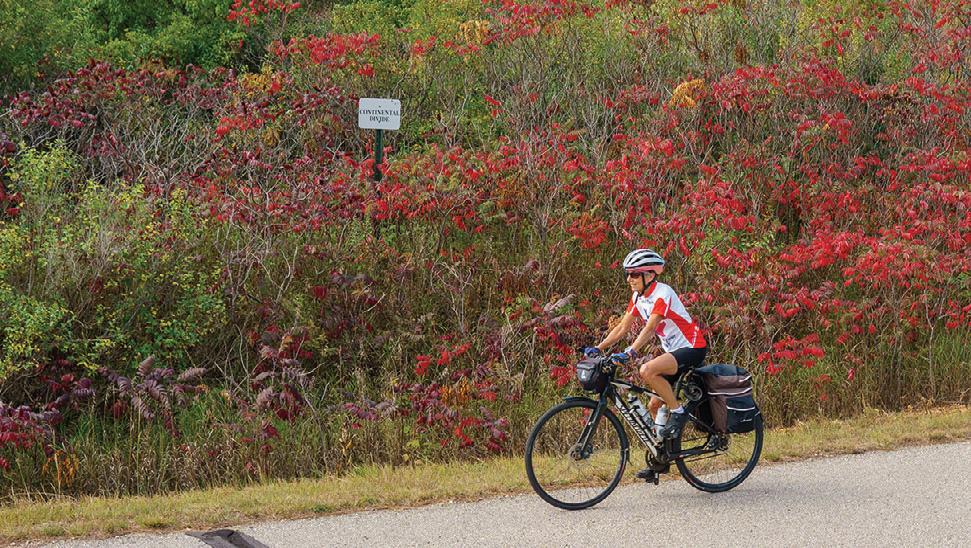
Lost in thought I cruised along, absorbing the peaceful environs and I almost missed the tiny sign tucked into the sumac bushes along the trail. Turns out I had just passed the Continental Divide, only four miles into my ride.
 PHOTOS BY JAN LASAR
Just outside the gates of the Lake Region Pioneer Threshermen’s Association grounds in Dalton, the trail intersects the Otter Trail Scenic Byway. An interpretive sign on the self-guided byway tour listed a phone number to call for historic information on the area. The prerecorded voice on the other end told a sobering story about just how tough life on the prairie was for the first settlers.
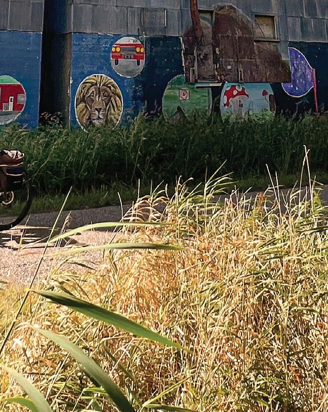
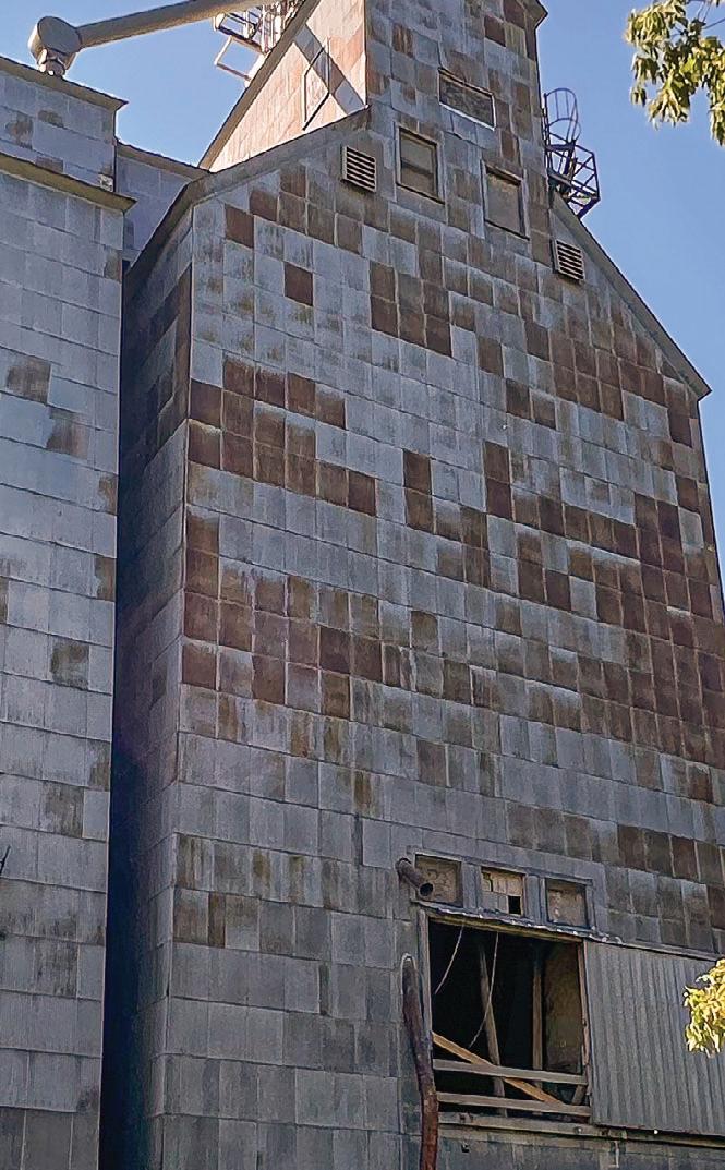
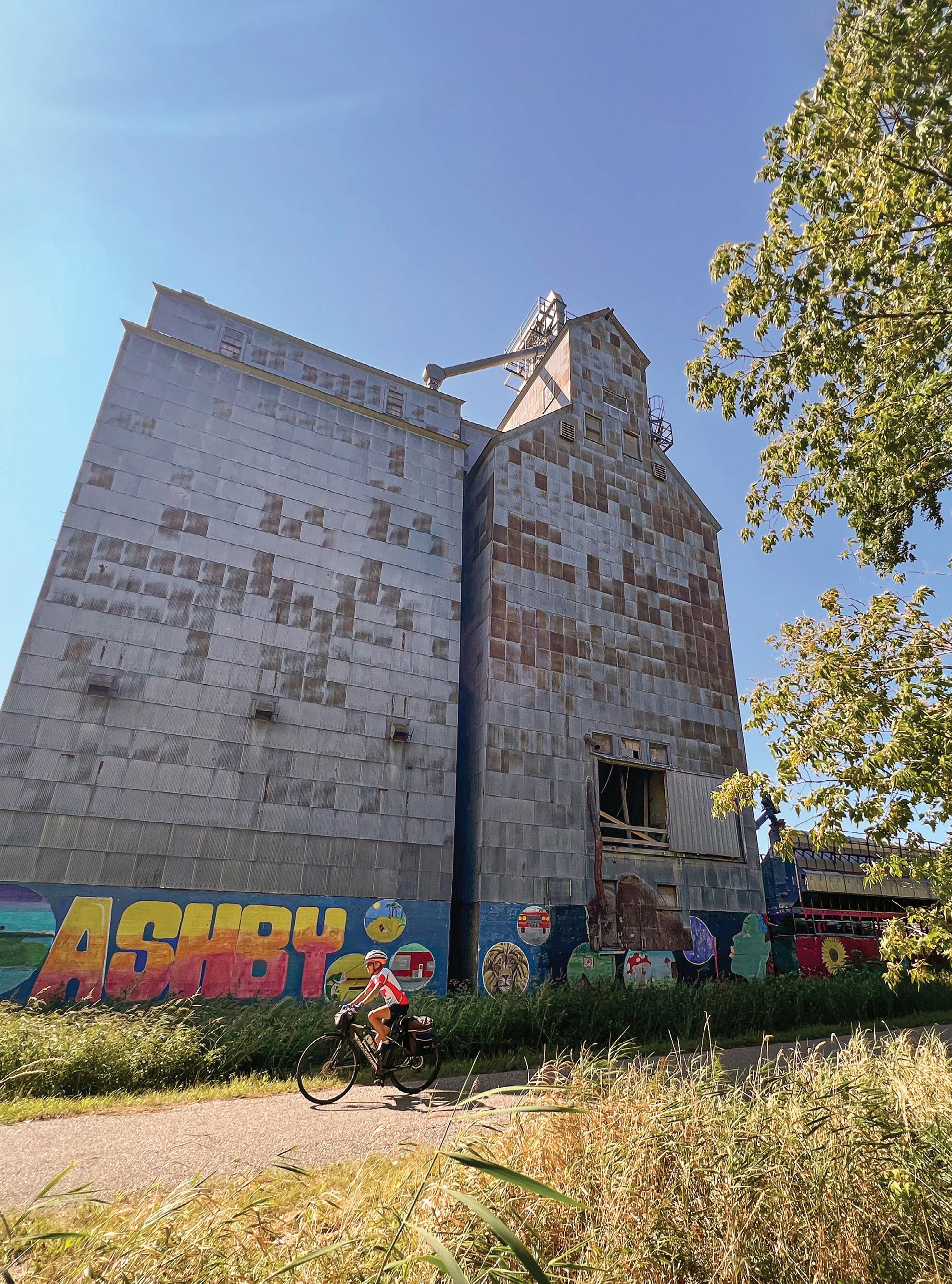
Next up was Ashby, 20 miles into my ride. As I was about to learn, big grain elevators heralded the approach to almost every town on this stretch. The one in Ashby had a particularly attractive mural painted at its bottom, depicting area attractions. A quick detour into town yielded a tranquil main street with colorful flower boxes and refills of cold water. Just beyond, I passed Lake Christina, which is an important stop for migrating waterfowl.
As the temperature soared to an unseasonable 80 degrees and I battled a headwind, I was grateful when the terrain changed enough to give me woodlands alongside the trail to block the wind. I also took a break to explore Pioneer Village in Evansville. It was just past closing time, so I parked my bike and meandered among the carefully preserved historic buildings. It was enough to pique my interest for future exploration.
Throughout the day I found frequent trailheads with a shelter, bike repair station and either restrooms or a porta potty in each of the trail towns.
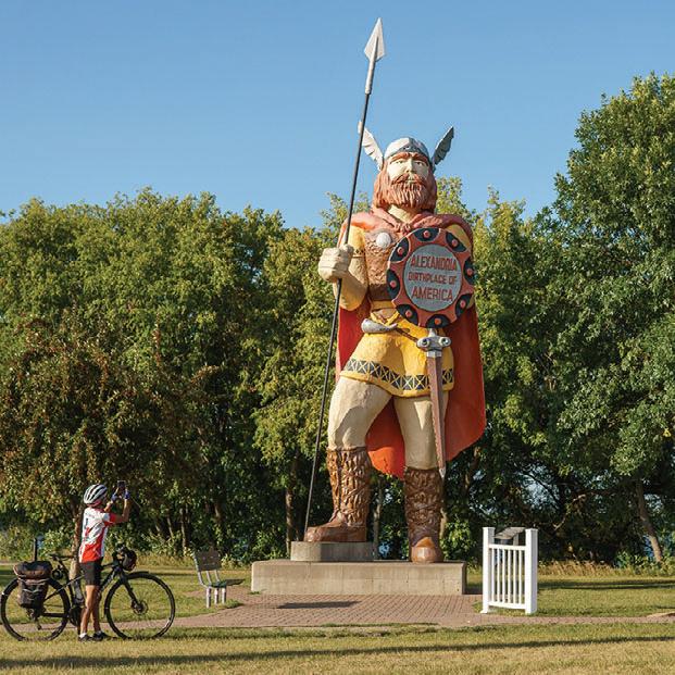
Evansville, Brandon and Garfield flew by, each with their own unique brand of small-town America. There weren’t many people on the trail, mainly walkers with and without dogs, perhaps owing to it being a weekday. Approaching Alexandria – my stop for the night – the population of cyclists multiplied as locals took to the trail. Standing guard at the edge of the trail in Alexandria was Big Ole, Alexandria’s landmark mascot. The nearly 30-foottall rendering of a Viking explorer holds a shield which proudly proclaims Alexandria to be the “Birthplace of America”. After 46 hot miles into the wind, Alexandria was my resting place.
Refreshed by a hearty dinner and hotel stay, I resumed my journey eastward early the next day. In the lake town of Osakis, I couldn’t resist the call of Jacob’s Lefse Bakery, where I picked up the fresh Norwegian flatbread and perused the gift offerings.
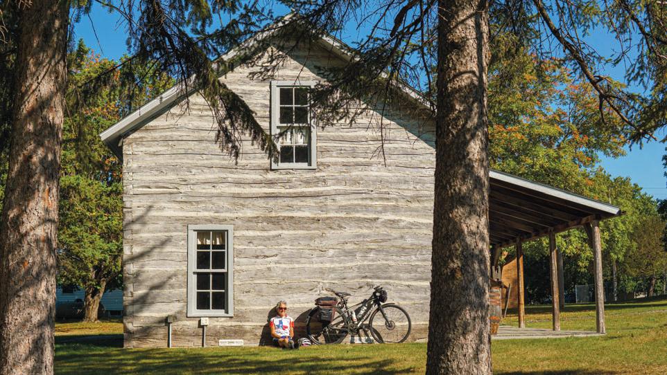
After Osakis the Central Lakes State Trail quietly transitions to the Lake Wobegon Trail. I also left the pothole lakes behind, as farm fields took over the landscape. The very dry summer we were experiencing had the foliage turned more colorful than I expected, with brilliant reds on the sumac bushes, and yellow leaves on the trees. Corn stalks and soybean plants, the predominant farm crops, stood parched in many of the fields.
After passing through West Union, I arrived in Sauk Centre and headed to Sinclair Lewis Park to dig into the lefse I had been carrying in my bag for 22 miles. The sprawling park offered restrooms, water and nice views of Sauk Lake. I chose a picnic table near the historic bandshell painted with a mural of a conductor directing a huge wavy keyboard and brass instruments. I could just imagine an actual band playing on a pleasant summer evening to a crowd sitting on picnic blankets in the grass. Returning to the trail, I made sure to

In the heat of the afternoon Melrose’s elevators sailed by; as did Freeport’s smiling water tower. On the edge of Albany, the Wobegon Trail branches and I followed its northward route. It wasn’t long before I was into more forested countryside. The trail became much shadier with trees arching overhead forming a tunnel at times, a pleasant and pretty interlude. My pace really picked up, and checking the elevation afterwards I noticed that stretch had a definite downhill trend.

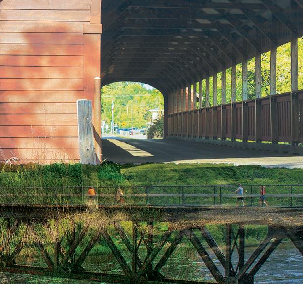
Holdingford demanded a stop because there was a lot to see. It started with a ride across the longest covered bridge in Minnesota. The 186-foot span was built for the railroad in 1907 and received its roof and red, wooden siding 101 years later. On the far side, a metalwork sculpture captured my attention.

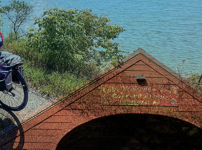

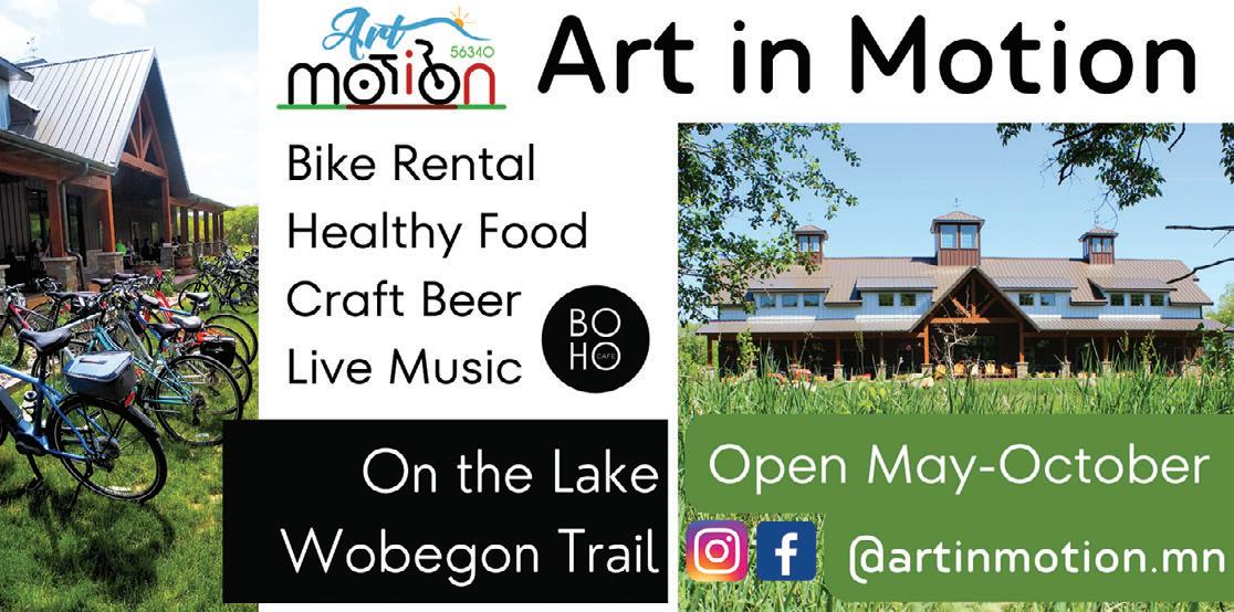
Randolph’s Dream by Keith Raivo depicts scenes of the area’s history using metal face casts of real people. The history of Holdingford is inextricably tied to the history of moonshining during Prohibition and the Holdingford Historical Museum houses a variety of artifacts from the time. The trailhead included a Soo Line rail car with historic murals on the side, as well as a huge trike and gardens near a picnic pavilion – a welcome respite on a hot afternoon. Just beyond the trailhead I biked past Art in Motion’s inviting façade.

This combination gallery, artist space and music venue opened in 2020 and includes the Boho Café which serves fresh local food and drinks.
At the county line just beyond


Holdingford, the Wobegon trail officially ends and meets the Soo Line Trail for the final 10 miles of this section. I continued to the town of Bowlus, where the modern trailhead building has been made to resemble the long-gone train depot. Across the street what was once the town’s hotel and dance hall is now home to Jordie’s Trailside Café and its lovely garden.
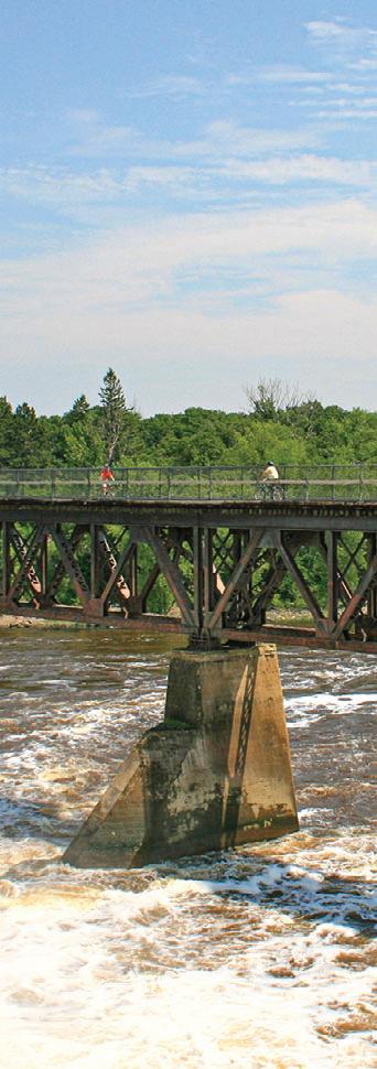
Four miles down the trail at Blanchard Dam the trail crossed the Mississippi River on the old railroad trestle. I stopped to watch fishermen navigate their boats upstream through the swirling water. The paved part of the Soo Line Trail ends two miles beyond, near Royalton, where it becomes a dirt trail open to ATV use. There’s a second, paved section between Isle and Onamia.
For my third day, I rode the final expanse of the Wobegon Trail in reverse. Thanks to some shuttle assistance from a friend, I started at the trail’s eastern terminus at River’s Edge Park in Waite Park. That section of trail is the newest, connecting to St. Joseph in 2018 with the future goal to add access to additional trails in St. Cloud.

After crossing the Sauk River, the trail

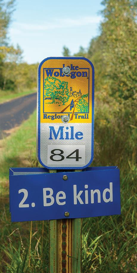
passes through urban and industrial areas at first, but it’s thoughtfully constructed to maintain its tranquility. In St. Joseph, I left the trail to detour through town where I found a vibrant downtown with a brewery, coffee shop, restaurants and shops. I turned on Minnesota Street and rode past the entrance to the College of St. Benedict. At the western end of town, I followed a spur back to the trail. Shortly after I got back on track, I passed by what was once the railroad stop for quaint Collegeville. Students, faculty and clergy got off the train here to walk a mile or so to the campus of Saint John’s University. That line served the college until 1950 and if you look closely at the ground near the historical marker you can still see tracks in the ground.
Beyond Collegeville, the trail
meandered through the countryside with farms and fields and wetlands on both sides. Avon’s trailhead park had the usual amenities, but also included a unique two-story lookout tower with views for miles. A little further into town, I succumbed to the draw of Gathering Grounds Coffee Shop where I indulged in a latte and delectable pastry. The final stretch passed through more woods, prairies and lakes. At Schwinghammer Lake, just outside of Albany, I read about the legend of the 1896 train derailment said to have occurred at that spot, and saw a replica of the supposed train’s bell at an interpretive display by the lake. According to local lore, the steam train careened into the lake and slowly disappeared into the muck on the bottom, but some enterprising locals managed to take the bell off in time.
My ride was complete when I reached the juncture with the northern route. I had completed 109 miles traveling from Fergus Falls to Waite Park, and 22 miles from Albany to just beyond the Mississippi River – all on smooth, protected trails through Minnesota’s central countryside. What an excellent use of our former railroad beds.
Tour de Cure: Minnesota
Road | Minneapolis, MN
June 3, 2023
www.mntrails.com/event/tour-de-cureminnesota
TOUR DE PEPIN
Road | Lake City, MN
June 3, 2023
Tour de Pepin is one of the Midwest’s most unique cycling tours where riders have several options to ride through the captivating terrain and historic towns around Lake Pepin. Distances: 32, 40, 50, 72, 100 miles.
www.lakecity.org/tour-de-pepin
Tour of Lakes Road | Brainerd, MN
June 3, 2023

www.mntrails.com/event/tour-of-lakes
CARAMEL ROLL RIDE
Trail | Albany, MN
June 10, 2023
Choose from three options: East to Avon, Collegeville and Saint Joseph, west to Freeport, and of course, north to Holdingford and the covered bridge, then on the Soo Line Trail to Bowlus and Blanchard Dam on the Mighty Mississippi River. As always the best caramel rolls you can find anywhere will be available at all the rest stops along the way!
www.lakewobegontrail.com/lwta-rides
KKD Gravel
Gravel | Farmington, MN
June 10, 2023
www.mntrails.com/event/kkd-gravel
SUMMER TRAIL TREK
Trail/Gravel | Custer, SD
June 13-15, 2023

Enjoy the beauty of the heart of the Black Hills as you travel through the scenic valleys, old railroad tunnels and historic mining towns on the 119-mile Mickelson Trail. It’s a great way to explore the Black Hills at a slower pace. Registration includes trail pass, shuttle, refreshments and meals.
gfp.sd.gov/parks/detail/george-s--mickelsontrail/
Kenmare, ND
June 16-18, 2023
Bike the fascinating scenery of North Dakota and discover the second to none hospitality of the Peace Garden State. Sign up for one, two or the full three days of riding between North Dakota and Manitoba. SAG, water stops, t-shirt and end of tour lunch is included. www.biketheborder.com
DAM2DAM RIDE
Road | Little Falls, MN
June 17, 2023
Follow the Great River Road through Charles A. Lindbergh State Park to historic Blanchard Dam and enjoy miles of Mississippi riverfront and quiet back roads. The Dam2Dam Bike Ride is a great way to experience the Mississippi River and the Little Falls area and it’s free! Sign up on the day of the event. Distances: 20, 40 miles.
www.mntrails.com/event/dam2dam-ride
LADY SLIPPER RIDE
Trail | Avon, MN
June 17, 2023
See the Minnesota State Flower, the Pink and White Showy Lady's Slipper in full bloom. This is a short ride to see the beautiful Lady's Slipper orchids growing along the Lake Wobegon Trail. It's a free ride, but donations will be accepted.
Distance: 6 miles
www.lakewobegontrail.com/lwta-rides
LOOP THE LAKE RIDE
Trail | Bemidji, MN
June 17, 2023
Take a bike cruise around Lake Bemidji with the whole family and experience the first city on the Mississippi from the seat of your bike. There’ll be lots of familyfriendly activities.
www.bikebemidji.com
MINNESOTA IRON MAN BIKE RIDE
Shakopee, MN
June 17, 2023
The Minnesota Ironman Bike Ride features routes for every cyclist, any level. Stay for the Big Taste of Fun party at Huber Park after the ride. Proceeds benefit Free Bikes

4 Kidz Minnesota.
www.ironmanbikeride.org
SHOOTING STAR TRAIL RIDE
Road/Trail | Le Roy, MN
June 17, 2023


Take a ride through Minnesota’s prairies on this southern Minnesota family favorite. All routes are fully supported with rest stops and SAG support and are either a combination of trail and hard surface county roads or trail only. Distances: 20, 40, 60, 75 miles
www.shootingstartrail.org

THE TOUR OF MINNESOTA
Road/Trail | Central MN
June 17-24, 2023
The 49th annual Tour of Minnesota, formerly the Klobuchar Bike Ride, will visit Central Minnesota in 2023. Daily trip length will vary, but riders will travel a total of about 350 miles with a rest day. www.tourofminnesota.com
Trans Mni Sota Wheel Race
Road | White Bear Lake, MN
June 18, 2023
www.mntrails.com/event/trans-mni-sotawheel-race
Lutsen 99er
Mountain Bike | Lutsen, MN
June 24, 2023
www.mntrails.com/event/lutsen-99er
THE SPRING BIKE FLING
Trail | Walker, MN
June 24, 2023
Take a ride on the Paul Bunyan Trail from Walker to Hackensack and experience the beauty of the Chippewa National Forest in Paul Bunyan’s back yard. Your ride options are plentiful: a 24 or 48-mile out and back or a 36-mile loop ride. Included in the registration are a t-shirt and a bag full of awesome swag.
www.bikereg.com/spring-bike-fling
BICYCLE ALLIANCE OF MINNESOTA

Gravel | Freedhem, MN
July 1, 2023
The Freedhem 76 is a race/ride on north central Minnesota’s finest gravel, minimum maintenance roads and trails to celebrate Independence Day. There’s lots of gravel, lots of lakes, and scenery galore.


www.freedhem76.com

The Fox
Gravel | Finland, MN
July 1-2, 2023
www.mntrails.com/event/the-fox
Great Scott Bike Ride

Road | Prior Lake, MN
July 4, 2023
www.mntrails.com/event/great-scott-bikeride
Bike Duluth Festival
Duluth, MN
July 7-9, 2023
www.mntrails.com/event/bike-duluthfestival

Bertram Blast
Mountain Bike | Monticello, MN
July 9, 2023
www.mntrails.com/event/bertram-blast
TOUR OF SAINTS

Road/Trail | Saint Joseph, MN
July 9, 2023
It’s not a race. It’s a heavenly little ride. From cities across Minnesota and neighboring states, each year 1,000 or more cyclists gather in St. Joseph to wind their way along quiet byways and rolling hills of central Minnesota. Distances: 18, 35, 50 miles.


www.bikemn.org/all-events/tour-of-saints


BLUENOSE GOPHER 50

Gravel | Granite Falls, MN
July 15, 2023
This gravel ride explores the challenging ups and downs of the Minnesota River Valley in search of the route of a longforgotten 1890s bike race. Breathtaking views, billion-year-old granite and quiet back roads steeped in history are the backdrop for a unique ride that starts and ends at Bluenose Gopher Public House. www.bluenose.coop/bluenosegopher50

Hotdish 100
Gravel | Winona, MN
July 15, 2023
www.mntrails.com/event/hotdish-100
The Wolf Gravel | Two Harbors, MN
July 21-23, 2023
www.mntrails.com/event/the-wolf
SCENIC SHORE 150 BIKE
TOUR

Road | Mequon, WI
July 22-23, 2023
The Scenic Shore 150 Bike Tour is a twoday, 150-mile, fully supported cycling event that is open to riders of all ages and abilities. The beautiful shoreline of Lake Michigan is the picturesque setting for a weekend of biking with 1,500 cycling enthusiasts. Pedal 25, 75 or 150-miles in support of a cure for blood cancer. www.scenicshore150.org
BIKE MS: RIDE ACROSS

MINNESOTA 2023
Road | Ottertail, MN
July 24-28, 2023


The 5-day experience you know and love is back! Start in Ottertail, MN, and cycle to Fergus Falls, Wadena, and Long Prairie before returning to Ottertail. Cycle through these beautiful cities and join a community of riders dedicated to changing the world for people with MS. www.bikems.org
July
www.bluenose.coop/bluenosegopher50

A sweet ride in the heart of Minnesota Czech Country to celebrate Kolacky Days!
15, 35 and 50-mile routes
montgomerymn.org/tour-de-bun-bike-classic
CLASSIC
Road | Montgomery, MN
July 29, 2023
Ride your bike in the heart of Minnesota Czech Country in scenic Le Sueur County. Each route will have refreshment stops at various points and will provide scenic rural countryside on paved, lightly traveled roads.
www.montgomerymn.org/tour-de-bun-bikeclassic
TOUR DE SAVE
Road or Gravel | Northfield, MN
July 29, 2023
Join SAVE and local area cycling clubs for the annual Tour de SAVE (Suicide Awareness Voices of Education.) The ride supports SAVE’s mission to prevent suicide. Distances: 7, 25, 50-mile road routes and a 30-mile gravel route. www.save.org/event/tour-de-save
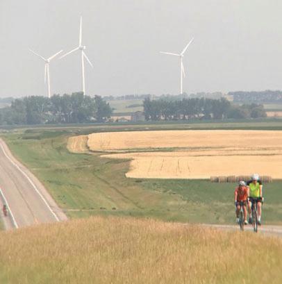
CANDAK
Road | Hazen, ND
August 5-12, 2023
This ride carries on the tradition of the CANDISK ride of North Dakota with daily routes ranging from 35 to 70 miles and a century option. This is a multi-day tour through North Dakota with terrain varying from flat fields to steep hills. www.candak.net

DAIRYLAND DARE
Road | Dodgeville, WI
August 5, 2023
Set in southwest Wisconsin, the land untouched by glacial flattening during the last ice age, the Dairyland Dare offers some of the most extreme hills in the Midwest. The area is characterized by steep, forested ridges, and deeply carved river valleys. Distances: 50, 100, 150 or 200 km (31, 62, 93 or 124 miles) www.dairylanddare.com
GREAT RIVER ENERGY
MESABI TRAIL TOUR
Trail | Ely, MN
August 5, 2023
Ride the Mesabi Trail for the most fun you can have on two wheels this year and explore the newly constructed segment between Tower and Ely. Choose from three different routes—12, 30 or 54 miles—all traveling out and back on the Mesabi Trail from one start and finish location in Ely.

www.mesabitrail.com/events-and-tours/
annual tour
TOUR DE TONKA
Road | Minnetonka, MN
August 5, 2023
Tour de Tonka is a scenic bike ride that travels through the Lake Minnetonka area and its surrounding communities. With so many different route options, there’s a ride for everyone.
www.tourdetonka.org
Two Hundo Fundo
Road, Trail, Gravel | Minneapolis, MN
August 5, 2023
www.mntrails.com/event/two-hundo-fundo
JDRF Ride
Road | La Crosse, WI
August 10-13, 2023
www.mntrails.com/event/jdrf-ride/
Gritty Goose Gravel Grinder
Gravel | Monticello, MN
August 12, 2023
www.mntrails.com/event/gritty-goose
Hollo Gravel Classic
Gravel | Battle Lake, MN
August 12, 2023
www.mntrails.com/event/hollo-gravel-classic
Road | Albert Lea, MN
August 12, 2023
Albert Lea knows how to rock! Riders can choose from one of three different routes—10, 30, or 50 miles—of SAGsupported, “rolling” fun around our lakes and community. All three courses hug picturesque lakeshores and offer a variety of beautiful southern Minnesota scenery. www.bikemn.org/all-events/rock-and-rollthe-lakes
BRIDGE THE VALLEY BIKE
RALLY
Road/Gravel | Stillwater, MN
August 13, 2023
Join the Stillwater Sunrise Rotary Club on an epic trip through the hills and valleys around Stillwater, MN. Route options: 10, 25, 45, 70 and a 75 mile Gravel Challenge. Part of the Rivers, Lakes, Fields Tri-Ride Series including Pedal Prior and the Northfield Rotary Bike Tour. Ride all three for extra swag and entry into cash prize drawings.
www.bridgethevalley.org
Road/Trail | Minnesota Bluff Country
August 17-20, 2023
Distances: average 50-75 miles daily. www.mntrails.com/event/bicycling-aroundminnesota-bam
Willow River, MN
August 18-20, 2023
The Red Ribbon Ride is a fully supported, 2 day, 150-mile bike ride through the wilderness of Minnesota to raise funds for HIV/AIDS service organizations. Whether you are a first time rider, experienced veteran, or have a connection to the cause, the Red Ribbon Ride is for you.
www.redribbonride.org
One week & 400+ miles. Hazen, ND
August 5-12, 2023 CaNDak.net

Trail | Gooseberry Falls State Park, MN
August 19, 2023
Enjoy a supported, recreational ride on the Gitchi-Gami State Trail along Lake Superior’s scenic North Shore. You’ll get up close and personal with some superior views, be serenaded by waterfalls, wind through multiple state parks and don’t forget: snacks, t-shirts and SAG support are provided! Ride lengths: 8, 28, 34 and 55 miles.



www.ggta.org/ride.php
Road/Trail/Gravel | La Crosse, WI to Milwaukee, WI
August 19-20, 2023
RAW offers both a mixed-surface (crushed limestone, road, & paved trail) and all paved (road & paved trail) option. Choose a one-day or two-day option to cover the 235 miles on this fully supported ride produced by the Wisconsin Bike Fed. www.rideacrosswisconsin.com
Road/Trail | Prior Lake, MN
August 26, 2023
Discover beautiful Prior Lake and Scott County as you pedal your way through quaint towns, picturesque lakes, and rolling farmland. Distances: 11, 40, 69 miles. Part of the Rivers, Lakes, Fields Tri-Ride Series including Bridge the Valley Bike Rally and the Northfield Rotary Bike Tour. Ride all three for extra swag and entry into cash prize drawings.

www.pedalprior.com
Pine River Pedal

Trail | Pine River, MN
August 26, 2023
www.mntrails.com/event/pine-river-pedal
River Valley 100

Road or Gravel | Mankato, MN
August 27, 2023
www.mntrails.com/event/river-valley-100
CARAMEL APPLE RIDE
Trail | Sauk Centre, MN
September 9, 2023
Enjoy the fall colors and great apple refreshments at all the rest stops including caramel apples and other treats from local vendors. Spend the day riding the great Lake Wobegon Trail Country.
www.lakewobegontrail.com/lwta-rides

offering 8, 28, 34, or 55-mile fully supported options

AUGUST


TOUR
Road/Gravel | Northfield, MN
September 9, 2023
The posse rides again on Defeat of Jesse James Day! There’s a route for everyone: road, gravel or family. Part of the Rivers, Lakes, Fields Tri-Ride Series including Bridge the Valley Bike Rally and the Pedal Prior. Ride all three for extra swag and entry into cash prize drawings.
www.northfieldrotary.org/page/northfieldrotary-bike-tour
RIDEMN1
Road | Twin Valley, MN
September 9-16, 2023
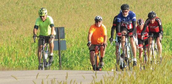
RideMN1 holds an annual bicycle ride across Minnesota to raise awareness and raise funds for cancer research. This year they visit Twin Valley, Fosston, Bemidji, Hill City, Palisade, Cromwell and Duluth/Superior. There’s optional pre-ride camping and a dinner the day before.


www.ridemn1.org
SAINT PAUL CLASSIC BIKE
TOUR
Trail/Road | Saint Paul, MN
September 10, 2023

The Saint Paul Classic is back touring the Grand Rounds. The ride will be held on bike trails and lanes only, there’ll be no road closures at all. Attendance is limited to 2,500. Mileages: 15, 31
www.bikemn.org/all-events/st-paul-classic
North Star Bicycle Race Road | Saint Paul, MN to US-Canada border
September 13, 2023
www.mntrails.com/event/north-star-bicyclerace
ROOT RIVER VALLEY
AUTUMN TRAIL
Root River and Harmony-Preston Valley Trails

September 15, 16, 22, 23, 2023
All 10 communities along the two trails will feature different activities, markets and music. Enjoy what is special about each town while you pedal your way through the beauty of Bluff Country.
www.rootrivertrail.org/autumn-trail
August
Stillwater
August
September 9, 2023
Northfield MN
NorthfieldRotary.org
road, gravel and family routes

Trail/Gravel | Custer, SD
September 15-17, 2023
Enjoy the beauty of the heart of the Black Hills as you travel through the scenic valleys, old railroad tunnels and historic mining towns on the 119-mile Mickelson Trail. It’s a great way to explore the Black Hills at a slower pace. Registration includes trail pass, shuttle, refreshments and meals.
gfp.sd.gov/parks/detail/george-s--mickelsontrail/
Trail | Spicer, New London, Willmar, MN
September 15, 2023
Mayors from Spicer, New London and Willmar will be leading a ride starting at 5:00 pm in each of their towns to come together for a picnic at Goat Ridge Brewing in New London, MN. All three towns are connected by the Glacial Lakes State Trail.
www.willmarlakesarea.com/event/mayorsbike-ride
Road | Mora, MN
September 16, 2023
The annual Mora Bike Tour starts and finishes at the Vasaloppet Nordic Center and offers two routes on rural country roads. Rest stops keep riders hydrated and a mobile repair van lends assistance if needed.
www.vasaloppet.us/mora-bike-tour-2
Road | Winona, MN
September 16, 2023
Ride the Ridges will take riders through some of the most scenic areas in southeastern Minnesota, from lush valleys along streams to bluffs overlooking the Mississippi River. All routes have well-stocked rest stops featuring local delicacies. Distances: 22, 44, 70, 110 miles
www.ridetheridges.bike

Tour of Lakeville
Road/Trail | Lakeville, MN
September 16, 2023
www.mntrails.com/event/tour-of-lakeville
Headwaters 100 Road | Park Rapids, MN
September 23, 2023
www.mntrails.com/event/headwaters-100
WHEELIN’ TO WALL
Road/Gravel | Wall, SD


September 23-24
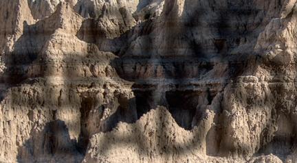
Experience the magic of Badlands National Park and its striking rock formations on this two-day cycling celebration. Road and gravel routes are available on this supported ride and a Pedal Parade of Lights and a poker run are part of the fun.



www.wheelintowall.com


Winston County Gravel Cup
Gravel | Houston, MN
September 23, 2023
www.mntrails.com/event/winston-countygravel-cup
Fall de Tonka Road | Minnetonka, MN
September 24, 2023
www.mntrails.com/event/fall-de-tonka
Heck of the North Gravel | Two Harbors, MN September 30, 2023
www.mntrails.com/event/heck-of-the-north
ROSEWOOD GRAMBLE
Road, Gravel | Thief River Falls, MN September 30, 2023
Join Bike Thief River Falls on this ramble on gravel (Gramble) and see rural Pennington and Marshall Counties. You’ll ride the former beach ridges of Glacial Lake Agassiz, minimum maintenance roads and a bit of trail.
www.bikemn.org/all-events/rosewoodgramble
Gray Duck Grit
Gravel | Northfield, MN
October 6-7, 2023
www.mntrails.com/event/gray-duck-grit
MANKATO RIVER RAMBLE
Road | Mankato, MN
October 8, 2023
This fall classic features great rest stops, ride support, delicious food and beverages, live music and much more. All routes pass through beautiful Sibley Park where the Blue Earth River joins the Minnesota River. Distances: 12, 26, 42 miles

www.bikemn.org/all-events/mankato-riverramble
The Filthy 50
Gravel | Lanesboro, MN
October 14, 2023
www.mntrails.com/event/filthy-50
Ride to End Alz
Road | Maple Grove, MN
Elm Creek Park Reserve
October 14, 2023

www.mntrails.com/event/ride-to-end-alz
As of deadline, the information in this calendar was accurate. Check MnTrails.com/events for additional information.
Ride
22, 44, 70 & 110 mile routes
RideTheRidges.bike
Afton to Lakeland Trail • 4 miles
Afton
This paved, flat trail travels through the scenic St. Croix Valley. Start at Afton City Hall and ride north through St. Mary's Point and Lake St. Croix Beach. In Lakeland, you'll cross the I-94 bridge across the Mississippi River into Hudson, WI where the trail ends at a Dairy Queen between Birkmose and Lakefront Parks.
Centennial Trail • 8 miles
Villard to Glenwood
Start in Villard and ride the paved trail to Glenwood. Connects with a bike route around Lake Minnewaska.
Cuyuna Lakes State Trail
• 10 miles in three segments
Riverton to Deerwood & Aitkin
The longest completed part of the Cuyuna Lakes State Trail travels through the Cuyuna Country Recreation Area between Riverton and Crosby and ends at County Road 31 near Cuyuna Range Elementary School after 6.5 miles. A one-half mile ride north on 31 and east on Deer Trail Drive takes you to the next 2.5-mile paved section into Deerwood. There is one more mile of trail in Aitkin, not yet connected to the rest of the trail. It can be accessed at Rippleside Elementary School and travels south along Highway 169. The Cuyuna Lakes State Trail will eventually link the cities of Aitkin, Cuyuna, Deerwood, Crosby, Riverton and make a connection to the Paul Bunyan State Trail in Baxter. The segment between Riverton and Crosby is groomed for fat tire biking in the winter.
Douglas State Trail • 12.7 miles
Rochester to Pine Island
A pleasant ride from Pine Island to Rochester via the town of Douglas. It’s the perfect out-and-back ride and it connects with Rochester’s extensive city trail network. Connections: At Pine Island Elementary School a 2.5-mile trail starts and runs east toward and across Highway 52 toward the town of Oronoco.
Fair Ridge Bike Trail • 5 miles
Fairfax to Fort Ridgely State Park
Connects the city of Fairfax with Fort Ridgely State Park. Start at the Fairfax Railroad Depot Museum and bike south toward the state park and the Minnesota River.
Flower Valley Trail • 4.25 miles
Near Wacouta
This paved trail is not currently connected to anything, but makes for a nice, short trip into the countryside. It'll take some exploring to get to, but you can access its eastern end just south of the intersection of Highway 61 and Flower Valley Road near Red Wing. It currently ends at the intersection of Flower Valley Road and Highway 58 near the Red Wing State College campus, but a two and a half-mile combination of city trails and roads takes you past Twin Bluffs Middle School where, near the intersection of Pioneer Road and County Road 1, you'll find the trailhead for the Goodhue Pioneer State Trail.
Dairyland Trail • 14 miles
Elrosa to New Munich
This limestone surfaced trail connects the villages of New Munich and Elrosa and will one day connect the Lake Wobegon Trail to Brooten, MN.
Dakota Rail Regional Trail • 28.5 miles
Wayzata to Lester Prairie
This paved trail follows what was once the corridor of the Dakota Rail through the towns of Wayzata, Orono, Minnetonka Beach, Spring Park, Mound, Minnetrista, St. Bonifacius, Mayer, New Germany and Lester Prairie. Wonderful lake views and scenery that changes from urban to rural make it worth a trip. After you pass through New Germany, the trail continues paved into Lester Prairie in McLeod County. The long-term vision has it extend west into Hutchinson to link up with the Luce Line State Trail. In Wayzata, trail users can connect to the 63-mile Luce Line state trail and go east to Plymouth and west to Cosmos on a variety of surfaces.
Glendalough Trail • 12 miles
Battle Lake to Glendalough State Park
The trail starts at the Battle Lake Community Center and connects with a loop trail around Annie Battle and Molly Stark Lakes inside the park. Ride back to Battle Lake to complete a 12-mile loop.
Goodhue Pioneer State Trail
• 9 miles in two sections
Red Wing and Zumbrota
This trail is a work in progress. Currently, two short, paved sections exist. A four-mile stretch starts at the southern end of the 1.5mile Hay Creek Trail on Pioneer Road in Red Wing (The Hay Creek Trail completes the connection to the Cannon Valley Trail) and takes riders through the Richard J. Dorer State Forest to Hay Creek. The other paved section travels north five miles from Zumbrota. When complete, the trail will be 47 miles long and connect Red Wing with Pine Island, which is the start of the 12.7-mile Douglas State Trail into Rochester, MN.
Gull Lake Trail • 12 miles in two sections
East Gull Lake and Lake Shore
When complete, this 10-foot-wide, paved trail will be 21 miles long and travel most of the way around Gull Lake, connecting many resorts and restaurants. You’ll be able to access this trail via an existing tunnel under Highway 371 in Nisswa and round the north, west, south and part of the east side of the lake, ending just south of the Gull Lake Recreation Area. Currently complete: An eight-mile section leaving the rec area and an unconnected, four-mile leg through the city of Lake Shore.
Great Northern Trail
• 11 miles in two segments
Elk River to Zimmerman
This paved trail on an abandoned railroad grade connects Elk River and the town of Zimmerman to the north. There are an additional two miles in the town of Princeton, not yet connected to the other segment. On the southern end the trail starts at Elk Lake Road NW, but there’s no parking. It’s best to access the trail at Woodland Trails Park in Elk River, about a mile from where it starts. In Zimmerman, there’s trail parking at the disc golf course next to Lions Park. The trail travels through quiet, wooded wetlands and sparsely populated residential areas. Plans are to extend it north to Milaca, eventually.
Great River Ridge Trail in Elgin, MN. Jan Lasar photo
Great River Ridge State Trail • 13 miles
Plainview
This paved trail is flat and level and travels through scenic bluff country near Carley and Whitewater State Parks. Future expansions will connect it to the town of Eyota and Carley State Park.
Hardwood Creek Trail • 9.5 miles
Hugo
The 9.5-mile Hardwood Creek Trail starts in Hugo and travels through Forest Lake. At the Washington/Chisago County line it connects with the 17.5-mile Sunrise Prairie Trail.

Hay Creek Trail · 1.5 miles
Red Wing
This scenic trail along the namesake creek is short, but it makes the vital connection between the Cannon Valley Trail in Red Wing and the Goodhue Pioneer Trail.
Heart of the Lakes Trail
• 27 miles in two segments
Perham and Pelican Rapids
This paved trail will connect Perham to Pelican Rapids via Maplewood State Park, pending the completion of three miles through Maplewood State Park, which will bring the total up to 30 miles. West of Maplewood, a seven-mile section reaches into Pelican Rapids; another 20-mile path takes off from the northern edge near the state park’s entrance and travels northeast into Perham.
Lake Bronson Trail • 2.5 miles
This short, paved trail connects the town of Lake Bronson with Lake Bronson State Park's visitor center and the Pioneer Cemetery.
Lake Koronis Trail • 18 miles
Paynesville
The trail is a combination of paved trail and signed on-road route on the shoulder of a Rustic Road with very little traffic and many wonderful lake views along the shore of Lake Koronis. Parking is available at Veterans Park near Paynesville and a connecting trail crosses Highway 23 and connects with the Glacial Lakes State Trail.
Leaf River Recreational Trail • 4 miles
Wadena
Starts at Wadena's Sunnybrook Park and connects to a bike route to make a loop of 10.5 miles.
Mi-Gi-Zi Trail • 14 miles
Cass Lake
This loop around Pike Bay is easily accessible from the Heartland Trail. Near Cass Lake, where the trail intersects with County Road 76, connect with the Mi-Gi-Zi Trail by riding about a half a mile east on a signed road route. Follow the 14-mile trail counterclockwise around Pike Bay’s beautiful shores and the Chippewa National Forest and arrive at a trailhead north of Pike Bay after about ten miles. From there, a signed bike route will take you back to the Heartland Trail on quiet city streets through Cass Lake.
• 10 miles in three segments
This paved trail is envisioned to connect Ortonville, MN with Le Sueur via Granite Falls and Mankato as it follows the Minnesota River. Currently, three unconnected segments exist. In Ortonville, a 2.2-mile section links the city with Big Stone National Wildlife Refuge starting at the Minnesota River headwaters at Riverside Park. After a very short paved segment the route runs on city roads for less than a mile and picks up again for the rest of the way at Mill Road. It travels past granite outcroppings and joins with paved and unpaved roads inside the refuge. The next piece of three miles starts at the town of Milan and heads west to Milan Beach Resort on Lac Qui Parle Lake along Highway 40. The last segment of five miles takes off from the outskirts of Montevideo and travels south to the town of Wegdahl following Highway 15.
• 29 miles in two segments
This trail consists of two unconnected sections. The first piece runs in a northeasterly direction from Belle Plaine through the Minnesota Valley State Recreation Area and ends in Shakopee. Of this segment 19.5
miles are unpaved between Belle Plaine and Chaska, the rest is paved. The second, paved piece of this trail starts about six miles to the east near 35W and heads east for 1.7 miles to Blackdog Lake in Bloomington.
Mountain Lake Bike Trail • 5 miles
Mountain Lake
This well-marked southern Minnesota trail takes you around scenic, 220-acre Mountain Lake. There are several parking areas, but a good place to start your ride is Lawcon Park which has restrooms. The northwestern corner of the trail passes through the grassy knolls of the Mountain Lake State Wildlife Management Area with unimpeded views of the town and its namesake lake.
Okabena Lake Trail • 5.5 miles
Worthington
This loop of road routes and paved trail around Okabena Lake connects eight city parks and crosses a bicycle bridge near Lakefront Park.
Rainy Lake Trail • 12 miles
Rainy Lake to International Falls
The Rainy Lake Recreation Trail is a combination road route and paved standalone trail. It starts near the Rainy Lake Visitor Bureau, follows the south shore of Rainy River and terminates at the Rainy Lake Visitor Center for Voyageurs National Park. It travels through lakeside residential areas and the forest in Voyageur National Park.
Rattlesnake Bluff Trail • 4 miles
Wacouta
This short, paved loop with some out and back connections starts at the Wacouta township hall and circles Grotes Pond. It's worth exploring for its majestic views of Rattlesnake Bluff on the Mississippi River. This trail will become part of the Mississippi Blufflands State Trail, which is currently in the planning stages.
The paved Rockville-Cold Spring-Richmond (RoCoRi) Trail is a great ride through granite country in Southwest Stearns County. It seamlessly transitions from the eastern end of the Glacial Lakes State Trail at 178th Avenue in Richmond and ends at Mill Street in Rockville, just across the Sauk River from Eagle Park. Trail parking is available at the Glacial Lakes trailhead on East Street in Richmond and Alexander Park in Cold Spring.
• 39 miles
Mankato to Faribault
This paved, abandoned railroad bed passes through cool, wooded areas as well as open, sun-drenched farm fields and connects the communities of Mankato, Madison Lake, Elysian, Waterville, Morristown, Warsaw and Faribault. Connections include the paved 12-mile Red Jacket Trail between Mankato and Rapidan. (It crosses over three railroad trestles, including historic Red Jacket Trestle, which is 80 feet high and 550 feet long.) The North Minnesota River Trail brings cyclists from the Sakatah Trail through downtown Mankato into the Sibley City Park, where they can connect with the paved Minneopa Trail directly into Minneopa State Park. Also accessible is Mankato’s city bike trail system of over 50 miles. Future connections on the Faribault side include the Mill Towns Trail into Cannon Falls, where it connects to the Cannon Valley Trail into Red Wing.
Saint James and Watline Trail • 9 miles St. James
The four-mile St. James Area Bike Trail circles Saint James Lake and connects to the 5-mile Watline Trail which takes you to Long Lake Wayside Park in southwestern Watonwan County. An extension of the trail south into Normsby is in the works.
Starbuck Trail • 5 miles
Starbuck to Glacial Lakes State Park
Connects the city of Starbuck with Glacial Lakes State Park. Access a bike route around Lake Minnewaska from this trail.
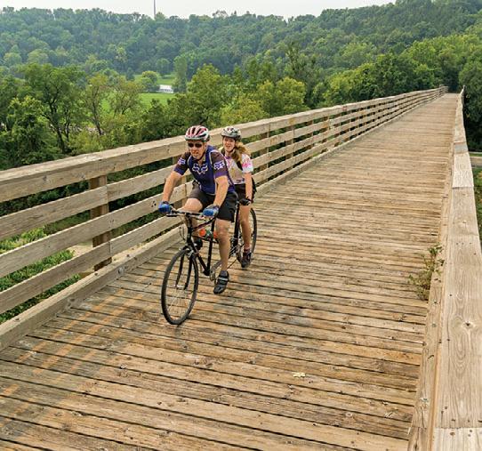
Sunrise Prairie Trail • 15 miles
Hugo to North Branch
At the Washington/Chisago County line in Hugo, this trail takes off from the northern end of the Hardwood Creek Trail and ends at Highway 95 in North Branch. An extension north into the town of Harris is in the works. Eventually, the James L. Oberstar State Trail will bridge the 32-mile gap to Hinckley and create a vital connection between Twin Cities Area trails and Duluth.
Trestle bridge crossing over the Le Sueur River on the Red Jacket Trail. Jan Lasar photo
The Red Jacket Trail between Mankato and Rapidan crosses over three railroad trestles, including historic Red Jacket Trestle, which is 80 feet high and 550 feet long and has great views of the Blue Earth River. It connects to Mankato's city network of trails and the Minneopa Trail into Minneopa State Park.
• 11 miles in two segments
Chisago City, Lindström, Center City, Shafer and Taylors Falls
When complete, the Swedish Immigrant Trail will connect the town of Forest Lake on the Sunrise Prairie Trail to Interstate State Park. Currently, two segments exist: A five-mile section connecting Chisago City, Lindström and Center City (with some road riding) and a six-mile route going northeast from just west of Shafer. This leg travels through Interstate State Park for about a half mile to the trail head at Taylors Falls City Hall.
70 miles
The Willard Munger Trail connects Hinckley to Duluth with a continuous trail that offers a changing experience as you travel along. The southern segment from Hinckley to Carlton is flat, straight and sometimes out in the open.

The so-called Hinckley Fire Trail section follows the railroad line that carried many area residents to safety during the devastating 1894 Hinckley Fire. It goes about 55 miles from Hinckley to Carlton, with entry points at Finlayson, Willow River, Sturgeon Lake and Moose Lake.
Nearly the entire trail is flat and straight on the bed of the abandoned railroad right-of-way and it crosses several bridges, skirts ponds and goes through the woods. A couple of stretches parallel a highway. Points of interest along this section include the Hinckley Fire Museum across from the trailhead and the historic Finlayson and Moose Lake Depots. A 2-mile road ride will take you into Moose Lake State Park.
The northern segment is a 15-mile descent from Carlton to West Duluth that travels through trees and rock cuts with scenic views of the St. Louis River and the twin ports of Duluth and Superior. Riders can stop on a high railroad trestle to enjoy a breathtaking look over the St. Louis River near Carlton and watch kayakers take on the rapids cut through the rock. A short, paved trail splits off into Jay Cooke State Park shortly thereafter. Move on and view the wonders of a hydroelectric power plant, pedal through now-rare stands of hemlock trees, and relax on a hillside rest stop overlooking western Duluth and Lake Superior. From this Bardon Peak the ride is downhill to where the trail ends near the Lake Superior Zoo.
Connections: The 16-mile Alex Laveau Memorial Trail segment connects Carlton
with Gary-New Duluth, but not all of it is paved. From Carlton (at the intersection of the main trail with County Road 1), a six-mile paved segment goes south through Wrenshall and ends at Highway 23. A combination of bike routes on paved road shoulders and city streets continues from there.
The 2.5-mile paved St. Louis River Trail between Carlton and Scanlon is a short road ride away on city streets and can be accessed on Chestnut Street, across from Carlton Bike Rental.
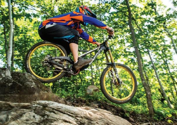

At the end of the trail in Duluth (at Pulaski Street) you can access the 5-mile Western Waterfront Trail. This packed gravel trail runs along the St. Louis River shoreline from the Spirit Lake Marina to near Fremont Street in Duluth’s Irving neighborhood.

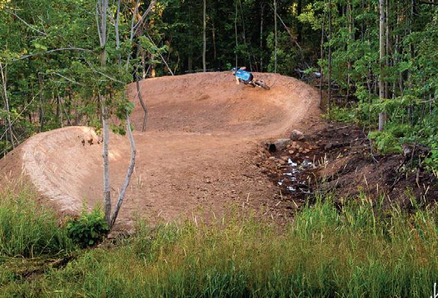
Between Friesland and Groningen (at Grindstone Lake Road) a paved trail splits off and travels east toward Sandstone. It stops short of reaching town, however, just west of I-35. A 4-mile road ride along the shoulder of Highway 61 and 23 north through Sandstone takes you to the western edge of Banning State Park where a paved bike trail of less than a mile ends near the park office.
Eventually, the James L. Oberstar State Trail will make the connection between the end of the Sunrise Prairie Trail and the city of Hinckley. Together with the existing Hardwood Creek, Gateway and Browns Creek Trails and partially completed Swedish Immigrant Trail, this important connection is part of a master vision of a trail network linking Saint Paul to Taylors Falls and Duluth.

33.4 MILES PAVED

33.4 miles
Destined to become one of the most scenic paved trails in the nation, the GitchiGami parallels the North Shore Scenic Drive Byway, the popular Superior Hiking Trail and the Lake Superior Water Trail. Gitchi-Gami offers an active way to enjoy Minnesota’s North Shore with fantastic views of its namesake lake.
Along the Trail: The Gitchi-Gami State Trail will eventually trace 89 miles of the North Shore, weaving its way through five state parks from Two Harbors to Grand Marais. The longest trail section to date runs more than 17 miles from Gooseberry Falls State Park across the Split Rock River, through Split Rock Lighthouse State Park and Beaver Bay, and on to Silver Bay. At Split Rock Lighthouse State Park, you ride just below a wayside rest and scenic overlook with a picture-perfect view of the lighthouse. To visit the lighthouse and interpretive center, take the short spur trail leading there. Split Rock Lighthouse State Park and Beaver Bay both have trail centers with parking. The half -mile lakeside swing around Highway 61’s Silver Creek Tunnel is worth visiting on wheels or on foot for its panoramic views of Lake Superior. There’s also a three-mile stretch of trail from Schroeder to Tofte, passing through Temperance River State Park and offering a view of Carlton Peak. This stretch could make a nice out-and-back casual ride or family trip of six miles with a stop for a hike to see the Temperance River Gorge. Navigating through the Town of Tofte, there is a half-mile gap in the trail. Make plans to take the Town Park Road, which can bring riders some excellent opportunities to engage with Lake Superior. The trail once again picks up on the northeast side of Tofte where it continues another 7.3 miles.


Silver Creek Cliff : The Gitchi-Gami State Trail begins with a short yet impressive onemile section of the original North Shore Drive, running 4,000 feet around the Silver Cliff Creek Tunnel northwest of Two Harbors. This section of the trail offers a spectacular vista of Lake Superior and has a reproduction of the original 1924 North Shore Gateway arch and brass plaque welcoming visitors. While this section isn’t ready for through traffic, you may want to park just east of the tunnel and walk across the trail bridge to enjoy the view. This is also an area to see rock climbers and a great place for travel photos.
Seven miles east of Silver Creek Cliff is the popular Gooseberry Falls State Park where the next segment of the Gitchi-Gami Trail starts. The trail may be accessed near the Visitors Center, or add another mile to your ride by winding through the park, past the campground and near the mouth of the Gooseberry River, find the trailhead for a gentle sweeping ride up towards the Visitor Center and Highway 61 bridge over the falls. This trail segment winds through Iona’s Beach Scientific and Natural area, before leading to Split Rock Lighthouse State Park and the towns of Beaver Bay and Silver Bay.
Temperance River State Park: The Gitchi-Gami State Trail picks up again at the east parking lot in Schroeder and travels through Temperance River State Park, about four miles to the west of Tofte. This segment crosses the Temperance River Gorge and an ancient stream bed that is thought to have been an ancient route for the Temperance River into Lake Superior. The Temperance River Gorge offers spectacular views of the river and rocks below. You can also view the 1,526-foot Carlton Peak. Trail users can use the Blue Fin Bay Lake walk trail for about a half-mile to rejoin the trail on the east edge of town. This trail segment currently offers parking in Schroeder, and at the Tofte Public Water Access. Food, beverages and restroom facilities are available in Tofte.
Tofte to Grand Marais: This 7.4-mile trail segment starts at the northeast end of the town of Tofte. At County Road 34, where the trail used to dead-end, a tunnel underpass beneath Highway 61 connects to a new trail segment that ends at County Road 5 (Lutsen Ski Hill Road). The 4.8-mile segment of completed Gitchi-Gami State Trail connecting Grand Marais to the Cut Face Creek State Wayside is a flowy trail with many opportunities to see the lake. A highlight is a wooden arched bridge with viewing platforms on each side with views of the Fall River to one side, and Lake Superior on the other. Additionally, this 4.8mile segment connects to the Grand Marais Corridor Trail, a one-mile paved bike trail that travels through the heart of downtown Grand Marais.







Grand Rapids to Ely


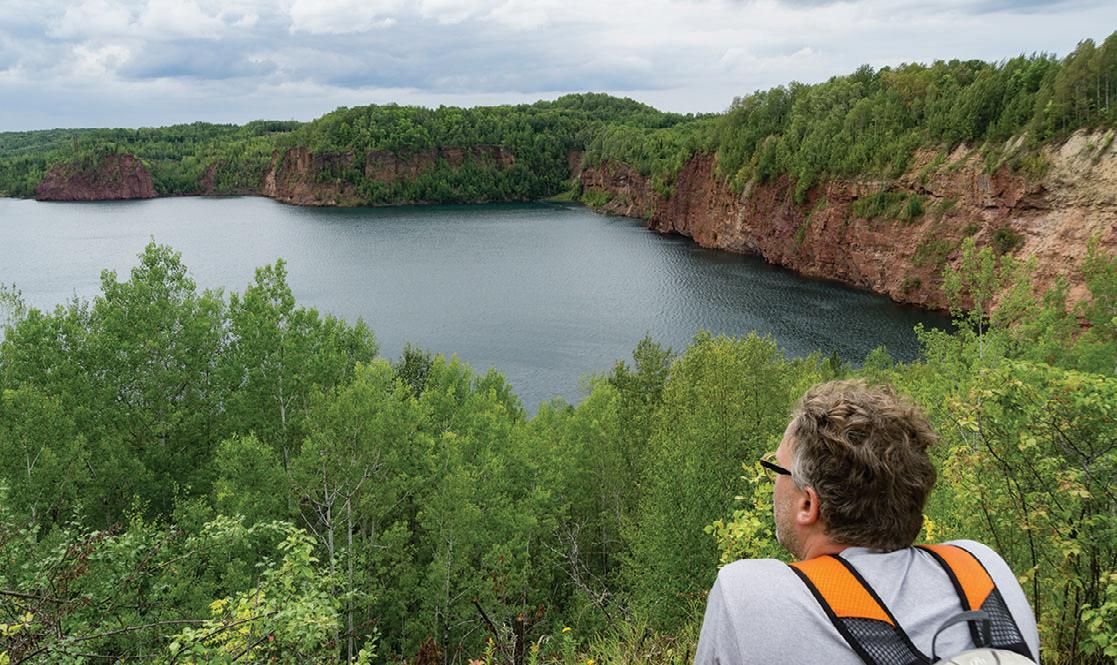
Via the Mesabi Trail, you can enjoy miles of paved trail stretching from the Mississippi River (Grand Rapids) to the Boundary Waters (Ely). When completed in just a couple of years, that mileage will expand to 165 miles. The trail runs through a wide range of scenery, from dramatic views of mining operations, to secluded woods, a jungle of vegetation, mine lakes and reservoirs.
It traverses forest, meadows, rivers, streams and lakes in a region bound on the east end by the Boundary Waters Canoe Area Wilderness and on the west by the Mississippi River. In between, the Mesabi Trail takes visitors past the edges of the open pit mines of the Iron Range and areas abundant with wildlife, nature and the rich heritage of hardy pioneers.
Unlike a lot of paved trails in the state, the Mesabi Trail is created from old logging and mining roads, former roadways, some abandoned rail grade and new trail. There are even a couple of floating bridges. The trail crosses Minnesota’s tallest bridge just outside of Virginia. It spans 1,132 feet and crosses the Rouchleau mine lake 200 feet above the water’s surface for a spectacular view from your bike seat.
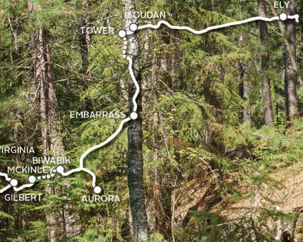
Currently, over 75 continuous miles stretch from Grand Rapids to McKinley. After a short diversion to the shoulder of Hwy 135, riders can re-connect with the trail again just outside of Biwabik. Another 24 miles travel from Biwabik through Giant’s Ridge Recreation Area to just outside of Tower. This section includes a ¾-mile long floating bridge across the Embarrass Wetland Complex and the Darwin Meyers Wildlife Management Area. The segment from Tower through the new Lake Vermilion Soudan
Underground Mine State Park into Ely is now complete.


Additional spurs connect into communities like Chisholm with the Minnesota Discovery Center, and Eveleth with the US Hockey Hall of Fame and the world's largest hockey stick sculpture.
Off the bike you can tour a mine, a logging camp, the Greyhound bus museum or visit the childhood homes of Judy Garland and Bob Dylan. Many campgrounds and local parks are easily accessible from the trail, highways and nearby communities. Food, lodging, shopping, antiquing, golfing, fishing, camping and swimming are all in close proximity to segments of the trail, with communities and services available near all entry points.
Check for rail updates at mesabitrail.com before planning your cycling adventure.





120 miles
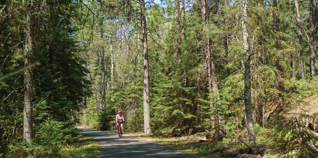
The paved Paul Bunyan Trail is Minnesota’s and the country’s longest rail trail. It has been inducted into the Rails to Trails Conservancy’s Hall of Fame, as a “Signature Minnesota Destination.”
The trail’s namesake, Paul Bunyan, is a reminder of the rich forestlands that supported a robust timber industry and are ever present on your ride through the pines and you'll see many incarnations of Paul Bunyan and his sidekick, Babe the Blue Ox, in towns along this one-of-a-kind trail.

Along the Trail: The trail starts at Crow Wing State Park near Brainerd and ends at Lake Bemidji State Park near Bemidji. Including a few on-road connections, the total mileage is closer to 123 miles.
Trail Sections:

Crow Wing State Park to Walker: Riders can catch glimpses of the Mississippi River on their way through the park towards Brainerd’s Northland Arboretum. The Brainerd lakes area is a favorite with tourists seeking an Up North experience with creature comforts. Countless resorts, hotels and campgrounds cater to cyclists and are located near the trail. North of Brainerd you’ll find wetlands, gardens and the little towns of Merrifield and Nisswa. Downtown Nisswa is a bustling tourist town with many shops
and restaurants to explore. Stop for a tour of the historic pioneer village and regular turtle races throughout the summer. The Pequot Lakes Visitor’s Center is a good place to rest and recharge. Rumor has it Paul Bunyan’s bobber now serves as the town’s water tower. Stop and take a rest in Paul Bunyan’s chair at Bobber Park.
At the Pine River Information Center, you can see vintage displays, including a pair of Paul Bunyan’s baby shoes, big enough to stand in. Keep an eye out for carved critters along the trail, like Colonel Cobber in Backus. This 10-foot chainsaw carving of a corncob man is a favorite picture opportunity with cyclists. Farther down the trail you can meet Paul Bunyan’s girlfriend, Lucette, in Hackensack, home to an annual chainsaw carving festival. After Hackensack, take either the hilly route through the Chippewa National Forest to the shared section of the Heartland and Paul Bunyan Trail or the Shingobee Connector trail. Both routes connect to downtown Walker, but the Shingobee trail is shorter and easier.
Walker to Bemidji: On the way to Bemidji, you will cross the Kabekona River and go through Benedict, Laporte and Guthrie in a mix of quiet, rolling farmlands, crystal clear lakes and forest lands. Bemidji, the first city on the Mississippi River, is on the south side of Lake Bemidji and flanked by the Mississippi Headwaters State Forest to the west and Lake Bemidji State Park to the north. In Bemidji, you’ll want to visit the
famous statue of Paul Bunyan and his Blue Ox named Babe. Continue on to Lake Bemidji State Park or ride a 17-mile scenic loop around Lake Bemidji.
Connections: Traveling north on the Paul Bunyan State Trail after Hackensack, you'll enter the Chippewa National Forest and come to a Y intersection. Go left and ride the hilly section of the Paul Bunyan Trail through the Chippewa National Forest to the intersection with the Heartland Trail west of Walker. Go right and take the easier Shingobee Trail into Walker from the south. After you cross Paul Bunyan Drive on the bridge in Bemidji, connect to the 17-mile Lake Bemidji Trail around Lake Bemidji. It doesn't matter which way you go around the lake, the route ends at Lake Bemidji State Park.
The Paul Bunyan Trail is also part of the Mississippi River Trail Scenic Bikeway, a signed route from the Mississippi Headwaters to the Gulf of Mexico
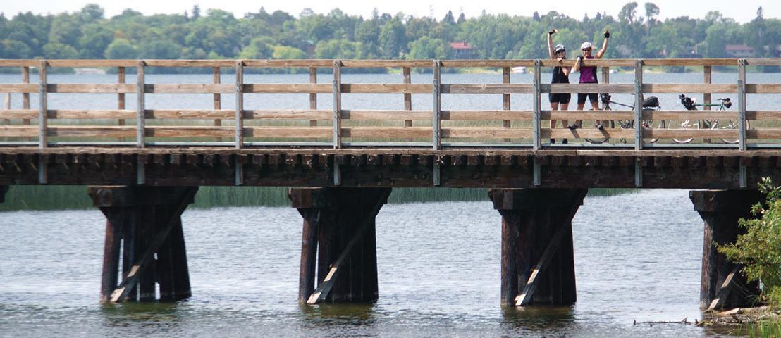


History: The Paul Bunyan trail follows the original railroad line built in 1893 and abandoned by Burlington Northern in 1983. In October 1992, the first 50 miles of the Paul Bunyan Trail from Brainerd to Hackensack opened to the public and it has since more than doubled in length.

54 miles
The Heartland State Trail is another mustsee destination in the heart of Minnesota's lake country. Numerous towns, resorts and parks provide amenities to the rider on one of Minnesota’s most visited recreational trail systems.

Trail Sections:
Park Rapids to Dorset: The official start of the Heartland Trail is at Park Rapids’ Heartland Park, which has shelters, restrooms, a swimming beach and a bridge across the Fish Hook River. Your six-mile journey to Dorset will take you through scenery ranging from thick woods to grasslands dotted with lakes. The popular trailhead in Dorset has access to shops and restaurants, a large parking lot, outdoor toilet, playground and shaded picnic areas. The corral on the other side of the trail is for those on horses who use the unpaved trail parallel to the paved trail.
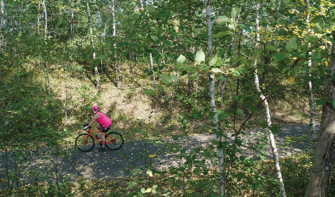
Dorset to Nevis: The next five miles to Nevis are quite pleasant. The trail travels through the woods with glimpses of an occasional pond. Pines and poplar trees are plentiful and birch stand out nicely from the green background. Just before you get to Nevis, enjoy views of Shallow and Belle Taine Lakes as you cross over the channel connecting the two. Stop here for a selfie with the World’s Largest Muskie statue.
Nevis to Akeley: The rest area in Nevis has water and restrooms. Stop and see a statue of the World’s Largest Tiger Muskie. In Akeley, stop and sit in Paul Bunyan’s hand for a picture.
Akeley to Walker: The Heartland Trail and the Paul Bunyan Trail share a trail segment from just northeast of Akeley to Walker. At a parking lot a few miles outside of Akeley, riders can turn onto the Paul Bunyan
Trail and ride through the Chippewa National Forest. This eight-mile segment on paved logging roads-turned-trail has a grade of up to 8 percent. It hooks up to the Shingobee Connection Trail into Walker. Alternatively, you can continue on the shared segment and access the town of Walker that way. Just outside of town, the Paul Bunyan and Heartland Trails part ways. The Paul Bunyan Trail continues northwest to Bemidji, while the Heartland Trail continues northeast to Cass Lake.
Walker to Cass Lake: North of Walker, you’ll need to ride two miles on a paved road shoulder to get from one section of the trail to the other. The trail skirts the west side of Leech Lake, then cuts through some woods and marshland and parallels Highway 371 for 10 miles to Cass Lake. At 41 miles, there is a large steel bridge, which once carried trains across Steamboat River.
Connections: In Walker, connect to the Shingobee Trail near Chase on the Lake Resort. This seven-mile combination of road routes and standalone trail crosses Shingobee Bay on the south end of Leech Lake and will take you to the Paul Bunyan Trail. Go south at this intersection toward Hackensack or west through the Chippewa National Forest and loop back to Walker via the Heartland/Paul Bunyan Trail. Near Cass Lake, where the trail intersects with County Road 76, connect with the Mi-Gi-Zi Trail by riding about a half a mile east on a signed road route. Follow the 14-mile trail counterclockwise around Pike Bay’s beautiful shores and the Chippewa National Forest and arrive at a trailhead north of Pike Bay after about ten miles. From there, a signed bike route will take you back to the Heartland Trail on quiet city streets through Cass Lake.
Future expansions of the Heartland include a 20-mile extension north from Park Rapids to Itasca State Park and an 86-mile segment from Park Rapids west to Moorhead. Of this segment, about five miles are paved going northwest from Frazee to connect with existing trails in Detroit Lakes.




55 miles
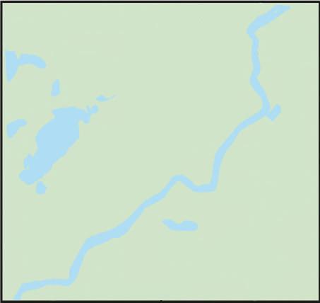
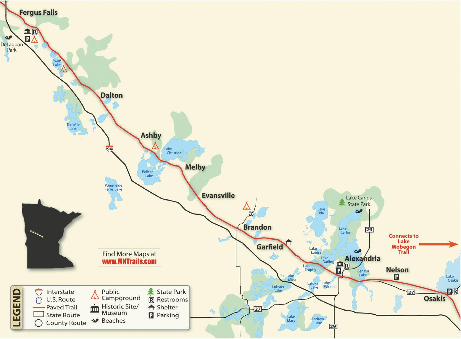
The 55-mile-long, paved trail starts at the Fergus Falls trailhead on Highway 210 and travels southeast through the communities of Dalton, Ashby, Melby, Evansville, Brandon, Garfield, Alexandria, Nelson and Osakis. The trail, a former railroad grade, is generally flat and level. It passes through a varied landscape of woods, grasslands, lakes, wetlands and farm fields. Communities with rest stops and amenities are generally seven to ten miles apart. The Central Lakes Trail is open to non-motorized use and groomed for snowmobiling in the winter.
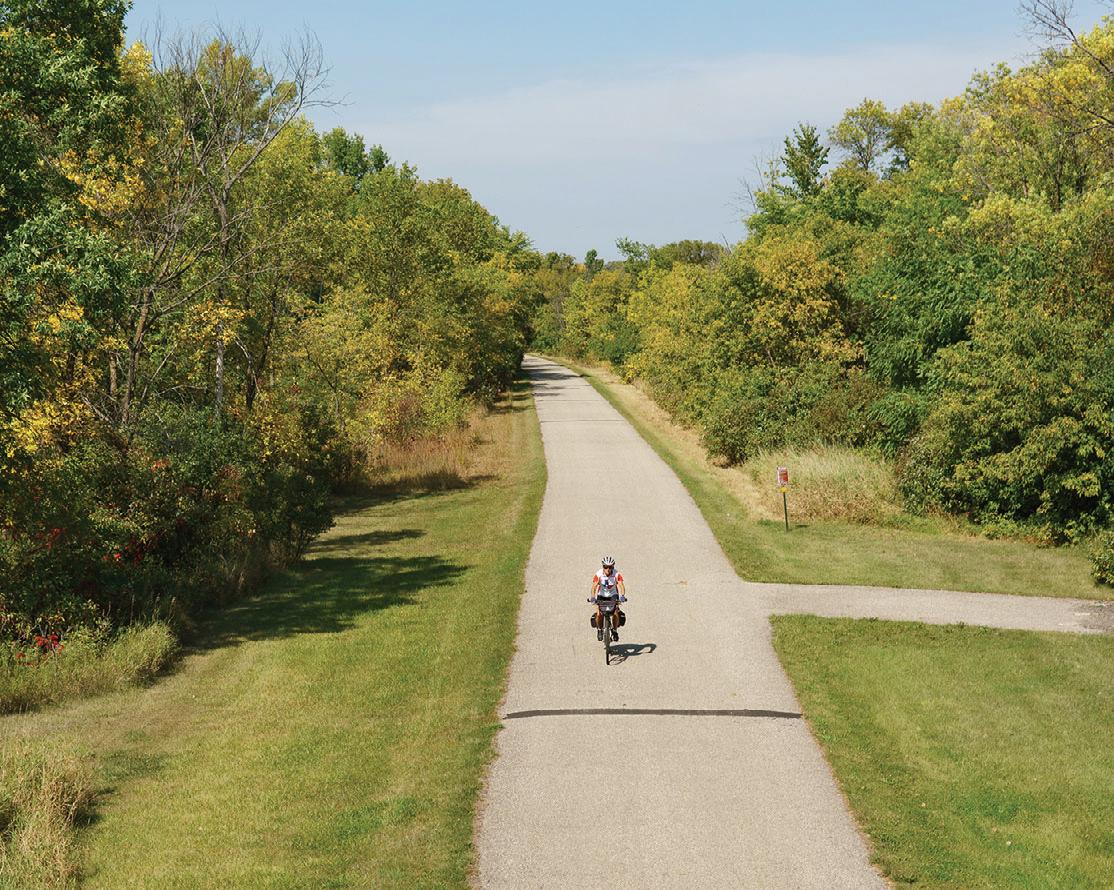
Along the Trail: The official Fergus Falls Trailhead is near the intersection of Minnesota Highway 210 and 19th Street, where you can find parking, bathrooms, picnic facilities, a bike repair station and play sculpture. Camping is available at DeLagoon Park, about a mile down the trail from the trailhead. This large park also offers a swimming beach and picnic facilities. Traveling from Fergus Falls you'll cross the Continental Divide, where water flows south into the Mississippi or north into Hudson Bay. The small communities along the trail
tuck in neatly between reed-lined lakes and the occasional farm field and you'll easily find camping, restaurants and places to rest. Stop for a photo op at the well-known statue of Big Ole the Viking at the north end of downtown Alexandria, near the Runestone Museum. If you're visiting in early summer, keep an eye out for pink or yellow Lady’s Slippers blooming along the trail.
A Combined History: The Lake and Central Lakes Trail are built on the rail corridor formerly owned by Burlington Northern Railroad Company. As the profitability of the railroad line declined, Burlington Northern leased use of the tracks to smaller short line railroads. One of the last such companies was the Otter Tail
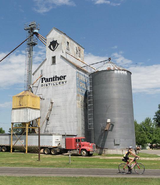
Valley Railroad, which ran trains between Moorhead, MN and Avon, MN, from 1986 until1991, when the line was officially abandoned. The Lake Wobegon Regional Trail opened in 1998 and the Central Lakes State Trail was dedicated in 2005. The two trails officially joined near Osakis, MN in 2007.
Connections: Just east of Osakis, the Central Lakes State Trail connects to the 65-mile-long, paved Lake Wobegon Trail. From DeLagoon Park, city bike routes take you to Grotto Lake Park with the famous statue of Otto the Otter. Feasibility of a connecting trail between Fergus Falls and Pelican Rapids is being explored. Another trail in the planning stages would connect Ashby to Battle Lake and Glendalough State Park.






65 miles
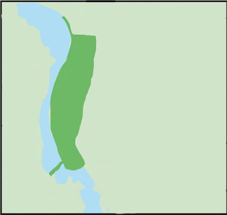
The Lake Wobegon Trail is a 10-foot wide, bituminous surfaced hike-and-bike pathway. It travels through the central Minnesota counties of Stearns and Todd from the city of Waite Park to the city of Osakis. The trail also has an extension from Albany heading northeast to Holdingford and the Stearns/Morrison County line.
Starting at Rivers Edge Park in Waite Park, you'll cross the Sauk River on this newest section of the Lake Wobegon Trail. En route to St. Joseph you ride along natural areas and farm fields. A few miles outside of St. Joseph, see the old town of Collegeville, which now consists of only a few homes, but once had a popular train depot, boarding house, post office and store. You can turn left at Collegeville for a 2.5-mile side trip to Saint John’s University. At Avon, you’ll find shelters, bathrooms, a water fountain and a two-storied lookout tower/shelter that gives you a bird’s eye view of the surrounding region. The next 5.5 miles are perhaps the most beautiful along this stretch of trail, with deeper woods, prairies and lakes. Keep an eye out for Lady’s Slipper orchids in May and June. Just west of Albany, a spur of the Lake Wobegon Trail goes north nine miles to Holdingford, home of Minnesota’s longest covered bridge. This spur connects with the paved Soo Line Trail at the county line and offers pastoral views of a natural landscape. The Soo Line trail goes through Bowlus, crosses the Mississippi River at Blanchard Dam and ends at a trailhead on Highway 10. West of Albany, you’ll find Freeport, the birthplace
of Lake Wobegon. Garrison Keillor is said to have had the inspiration for some of his fictional places here. Head west for 5.7 miles to Melrose, home of the Melrose Area Museum. The official Melrose Trailhead is across the road near the Melrose Feed Mill. When you arrive in Sauk Centre, take a detour to see the Original Main Street made famous by Sinclair Lewis in his novel, Main Street. Farther up, you will find a city trail dropping back to Sinclair Lewis Park where you can find camping, bathrooms and parking. The 12-mile stretch between Sauk Centre and Osakis veers off into the country through the tiny town of West Union before entering Osakis.
History: See Central Lakes Trail
Connections: Just outside of Osakis, continue on to the Central Lakes State Trail, a 55-mile paved trail to Fergus Falls. At the Stearns/Morrison County line north of Albany, the Wobegon connects to the paved Soo Line Trail. A link from Sauk Centre north to Browerville

is being explored. Eventually, the natural-surfaced Dairyland Trail will reach Albany and will make a connection with Brooten, MN. In 2022, the Lake Wobegon and Central Lakes Trails

were designated part of the US Bicycle Route 20 (USBR 20) between Moorhead and the junction of USBR 45 and the Mississippi River Trail (MRT) in St. Cloud.



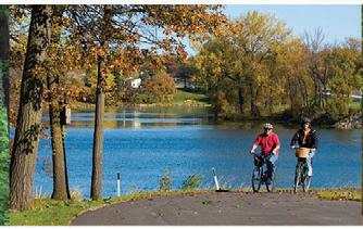
28 miles


The area around the Glacial Lakes Trail is dotted with countless lakes shaped by retreating glaciers some 10,000 years ago. Today, communities in this popular tourist area welcome visitors who come here to recreate at the lake, on the bike or both.

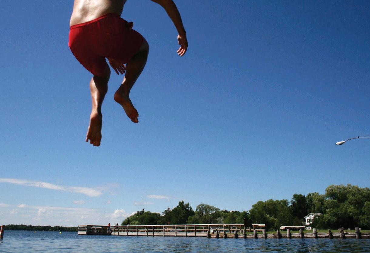
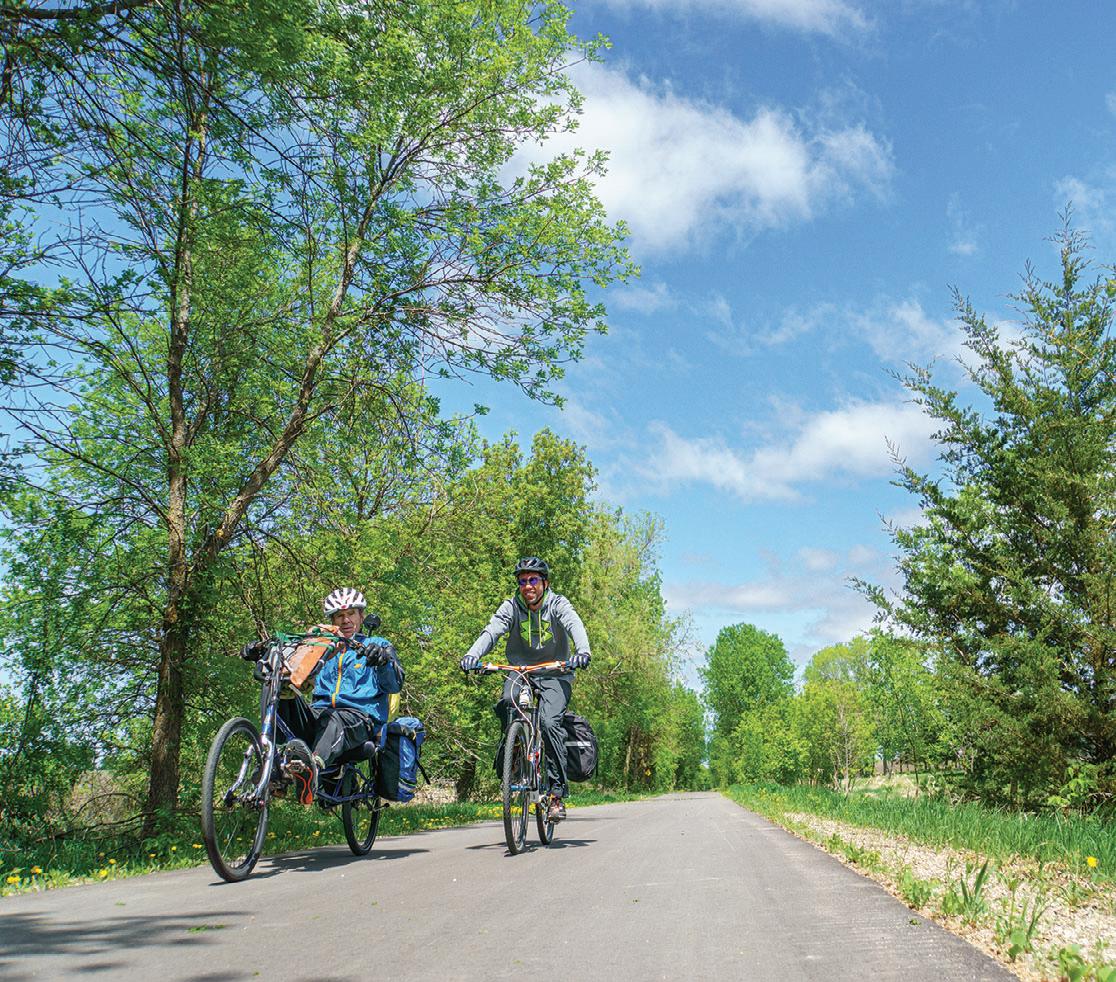
Along the trail: The trail starts at the Civic Center on the northern edge of Willmar. It goes northeast through beautiful farmland, prairie, and communities along the way include Spicer, New London, Hawick and Paynesville, where the trail currently terminates. A five-mile segment between Roscoe and Richmond is also paved.
Connections: Just northeast of Willmar, take the five-mile Eagle Lake Loop Trail which circles back to the Civic Center. A city bike route also takes you to downtown Willmar. In Spicer, take a ride around Green Lake on a combination of trails and signed routes. At the eastern end of the Glacial Lakes Trail, take Paynesville’s connector route to the Lake Koronis Trail. At Richmond, the Glacial Lakes Trail connects to the RoCoRi Trail, travels on to Rockville.
A three-mile section of the trail has just been finished inside of Sibley State Park. It

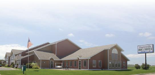

The Luce Line State Trail stretches 63 miles in a westerly direction from the metro suburb of Plymouth to the small town of Cosmos in west-central Minnesota. Along the way you'll visit the communities of Wayzata, Watertown, Winsted, Hutchinson, Silver Lake and Cedar Mills.


It runs on a former railroad line covered with a variety of surfaces ranging from crushed limestone between Plymouth and Winsted, pavement between Winsted and just west of Hutchinson, gravel between Hutchinson and Cedar Mills to a mowed grass path between Cedar Mills and Cosmos. The western trailhead is just west of Cosmos in a county park on Thompson Lake. While it starts in the heart of the western suburbs,
the Luce Line Trail offers a varied landscape of woodland, marsh and lakes with a portion running through remnants of the Big Woods and stands of maple and basswood. A horse trail parallels the Luce Line between Hutchinson and Plymouth.


History: The trailway dates back to the old Electric Short Line of 1908, which moved goods and passengers in and out of the Twin Cities. It was renamed Luce Line after the family who owned and extended it as far as Lake Lillian. After the railroad ceased operations, the DNR acquired parts of the corridor to create the state’s first nature trail in 1970. By 1975 the state owned most of the right of way and between 1977 and 1980 built the trail to Winsted. In 2015, a 23-mile section between Winsted and Hutchinson was paved.
Connections: The Luce Line State Trail allows access to many Twin Cities metro area trails. In Plymouth, the natural surface part of the Luce Line State Trail connects to the paved Luce Line Regional Trail, which ends east of Sweeney Lake in Golden Valley, but further connections are ahead. At Medicine Lake this section connects to the 13-mile Medicine Lake Regional Trail and the Basset Creek Regional Trail. The Medicine Lake Trail ends at Elm Creek Park Reserve in Maple Grove. Connections from here include the Rush Creek and Crystal Lake Regional Trails. In Wayzata, a short ride on city roads will take trail users to the Dakota Rail Regional Trail, which continues roughly southwest for 26 miles and ends in Lester Prairie.

28.
18 miles of paved trail from St. Paul to Pine Point Regional Park.
5.9 miles Brown’s Creek Trail.
4.9 miles St. Croix River Crossing Loop.
The Gateway Trail is a true getaway trail starting deep in metropolitan St. Paul, just a mile from the State Capitol. It finishes after 18 miles at Pine Point Regional Park, five miles north of Stillwater. The trail is open to biking, hiking, horseback riding, in-line skating and skiing and is wheelchair accessible. This paved trail on the old Soo Line railway grade quickly changes from an urban to a rural setting with forests, lakes, wetlands and prairies.
Connections: At Duluth Junction the Gateway State Trail connects with the Brown's Creek State Trail, which in turn links with the St. Croix River Crossing Loop Trail in Stillwater and provides access to other trail opportunities in Phalen-Keller Regional Park and the Bruce Vento Trail. An extension of the Gateway north into Taylors Falls is being explored.
5.9 miles
About 14 miles from St. Paul on the Gateway Trail, at Duluth Junction, the Brown’s Creek Trail starts and runs 5.9 miles into downtown Stillwater. It passes through heavily wooded areas and past golf courses. Riders can view a historic stone bridge from the mid-1800s. At about the halfway point, Brown’s Creek Park provides restrooms and ample parking. Then, riders will descend a canyon to Highway 95. This section of the
trail provides views of spectacular fall colors and small waterfalls. The final miles of the Brown’s Creek Trail follow the St. Croix River into Stillwater.
4.9 miles
This paved trail takes off from the end of the Brown's Creek State Trail, travels through
Find More Maps at
www.MNTrails.com
downtown Stillwater and makes a loop across the river into Wisconsin. Riders cross the river on the iconic Stillwater lift bridge open only to non-motorized traffic, and the new St. Croix Crossing Bridge, which has separated bike and pedestrian lanes. Lots of scenic views on this section.
Your friendly neighborhood bicycle shop!
We feature quality bicycles from Marin, Reid, Specialized, Sun, Torker & Worksman. Open 7 days a week.
Children’s, Road, Comfort, BMX, Mountain Bikes & Unicycles


2661 County Road I - Mounds View MN 763.784.6966
CARSBikeShop.com


The paved Cannon Valley Trail from Cannon Falls to Red Wing follows an old Chicago Great Western railroad route and hugs the Cannon River. The trail is bordered by cliffs and lined with wildflowers, often


under the canopy of lush trees. The trail is open year-round for non-motorized use and groomed for cross-country skiing in the winter. It also has several interpretive sites as well as rest stops with benches, water and toilets. Trail users need to purchase a wheel pass.
Along the Trail: In Cannon Falls, the city section of the trail begins in a park on the Cannon River near the falls that gave the city its name. This half-mile trail winds around the park, picnic areas and ponds before heading through a residential area to the official start of the Cannon Valley
Trail. Seventeen old mileage markers can be seen along the trail’s route. Originally, these concrete posts were used to identify the number of miles from Mankato, which explains why you’ll see these same markers on the Sakatah Trail. The little town of Welch is the midpoint of the ride and has a rest stop that includes bathrooms. The trail then passes by Cannon River Turtle Preserve SNA, Red Wing, Silvernale Archaeology Preserves and a wetland observation deck, before reaching the downtown Red Wing trailhead near the historic Pottery Place.
Connections: At Cannon Falls the trail connects to the Mill Towns Trail, which will eventually link to the Sakatah Singing Hills Trail at Faribault. Currently paved sections of the Mill Towns Trail: Two miles at Cannon Falls, three miles between Dundas and Northfield, two miles east from Faribault. Another connection in Red Wing takes you down the 5-mile northern portion of the Goodhue Pioneer Trail, which currently ends at the Hay Creek Campground, but will one day connect to the Douglas State Trail near Rochester. Another future trail connection includes the Mississippi Blufflands State Trail, which will link Red Wing with Lake City.


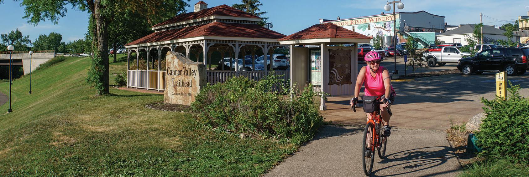
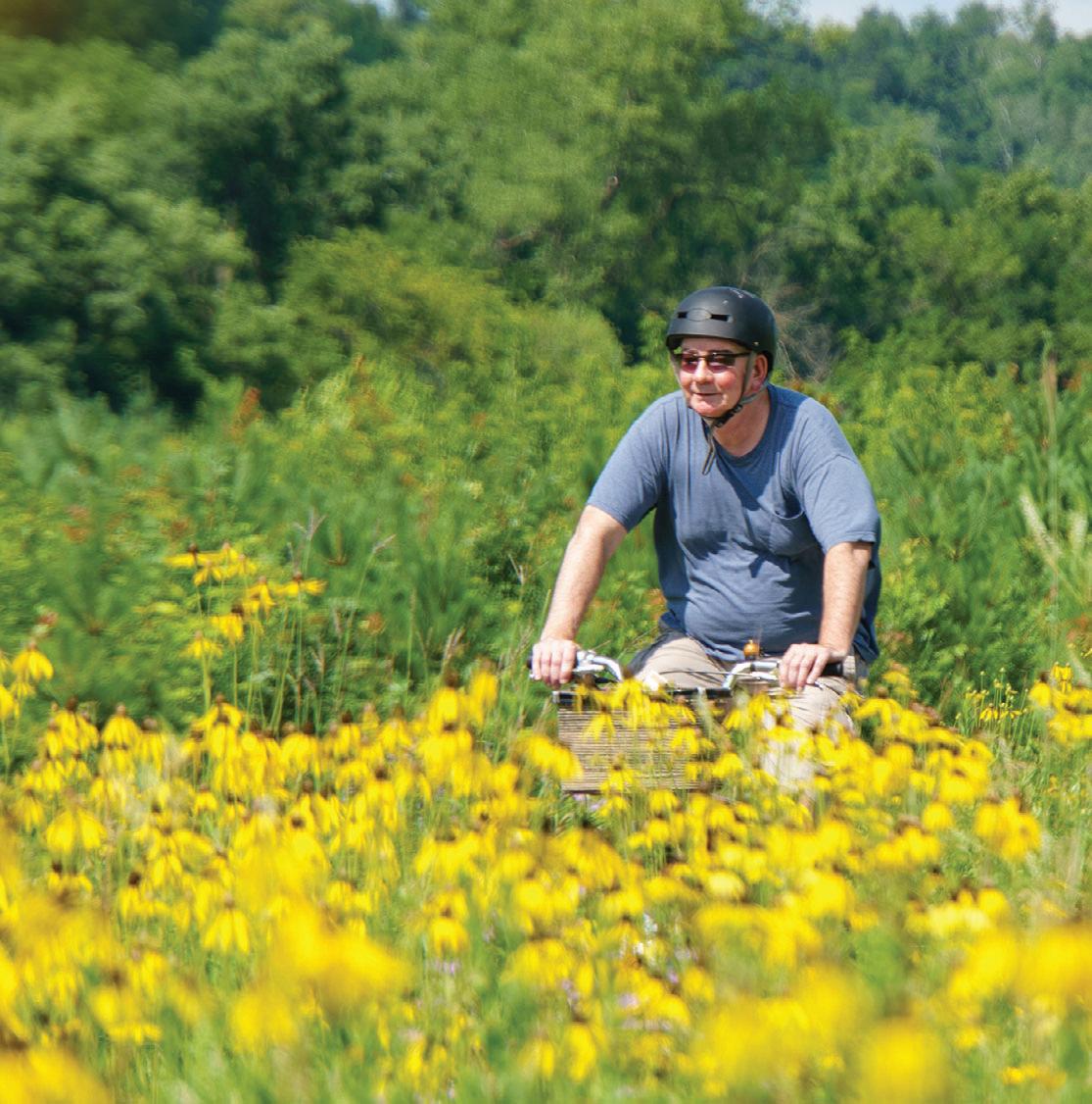



Looking
Adventure Cycle & Ski advcycle.bike | Winona


DL Bike Shop dlbikeshop.com | Detroit Lakes
Downtown Bicycles
Gateway Cycle gatewaycycle.com | Oakdale
Jake’s Bikes jakesbikes.com | Alexandria
Martin’s Cycling & Fitness

Outdoor Motion outdoormotionbikes.com | Hutchinson
Ramsey Bicycle ramseybicycle.com | Ramsey
Red Wing Bicycle Co. redwingbikes.com | Red Wing
Revolution Cycle and Ski revolutioncycleandski.com | St. Cloud
Rick’s Cycling and Sports Center rickscycling.com | Willmar
Rydjor Bike Shop rydjor.com | Austin
SCHEELS Eden Prairie scheels.com | Eden Prairie
SCHEELS Mankato scheels.com | Mankato
SCHEELS Moorhead scheels.com | Moorhead
SCHEELS Rochester scheels.com | Rochester
SCHEELS St. Cloud scheels.com | St. Cloud
Straight River Sports straightriversports.com | Owatonna
The Bike Shop thebikeshopmarshall.com | Marshall
19 miles total Pipestone, Woodstock, Lake Wilson, Currie

The Casey Jones Trail is the first rails to trails conversion in Minnesota, authorized in 1967. It consists of three main sections, not yet connected to one another: Eight paved miles and two gravel miles between Pipestone and Woodstock, followed by two miles of natural surface trail. 1.5 miles of natural surface west of Lake Wilson and a 5.5-mile paved loop between Lake Shetek State Park and Currie. The out and back ride from the Pipestone trailhead gives riders a close up look at farm fields and wind turbines and makes for an easy afternoon outing. The so-called Currie Loop does not have a designated trailhead, but parking is available at Forman Acres County Park just outside Lake Shetek State Park or End-O-Line Railroad Park and Museum. Another option is to park at the picnic area inside the state park, ride the park road and access the trail at the park office. Traveling counter-clockwise from there, you'll first pass the Lake Shetek State Monument and ride between Smith and Shetek Lakes. At a dam at the very southern tip of Lake Shetek, the Des Moines River emerges. After another mile, the trail takes a sharp left turn at End-O-Line and makes its way back to the park. Eventually, the Casey Jones Trail will span over 100 miles from Luverne through Pipestone to Redwood Falls.

7.5 miles
Albert Lea to Myre-Big Island State Park
The Blazing Star State Trail connects the city of Albert Lea with Myre Big Island State Park with a paved six-mile segment. Another paved 1.5-mile segment can be found in Hayward, MN. The master plan for the Blazing


Star State Trail is to eventually link Albert Lea, Hayward and Austin. Here, it'll connect to the Shooting Star State Trail which runs from Austin to Le Roy for about 28 miles. The resulting trail system will be about 50 miles long and connect Myre Big Island and Lake Louise State Parks. Although short, this trail is a favorite with southern Minnesota birdwatchers, especially during migration time at the state park.
28.75 miles

The Shooting Star Trail is a paved trail through remnants of tall grass prairies with an abundance of native wildflowers. Much of it is built on an abandoned railroad grade. The eastern terminus is in Le Roy, MN, which is on MN Hwy. 56 just west of its junction with US 63 right above the Iowa/Minnesota state line. The trail soon passes through Lake Louise State Park and continues northwest to the towns of Taopi, Adams and Rose Creek. The final leg of the trail travels north out of Rose Creek and picks up Austin's network of city trails north of I-90.
Highlights: Remnant tallgrass prairie with wildflowers like prairie smoke, rattlesnake master, wild indigo, aster, goldenrod and blazing star wildflowers. The trail passes by several interpretive and recreational opportunities, including Rustic Retreat Wildlife Management Area, Shooting Star Prairie Scientific and Natural Area, Taopi Prairie Interpretive Area and Mower County Natural and Scenic Area.
Connections: The last leg of the project calls for the trail to drop south from Austin to the town of Lyle on the Minnesota-Iowa border. While a timeline for this last part has not been established, another extension has the potential to become a reality much sooner.


From near Taopi, a four-mile leg will extend to the Minnesota-Iowa border and connect to the Wapsi-Great Western Line Trail. This 27-mile paved trail travels southeast from the state border into Elma, IA. Together with Austin's city trails, the resulting network will be 72 miles long.

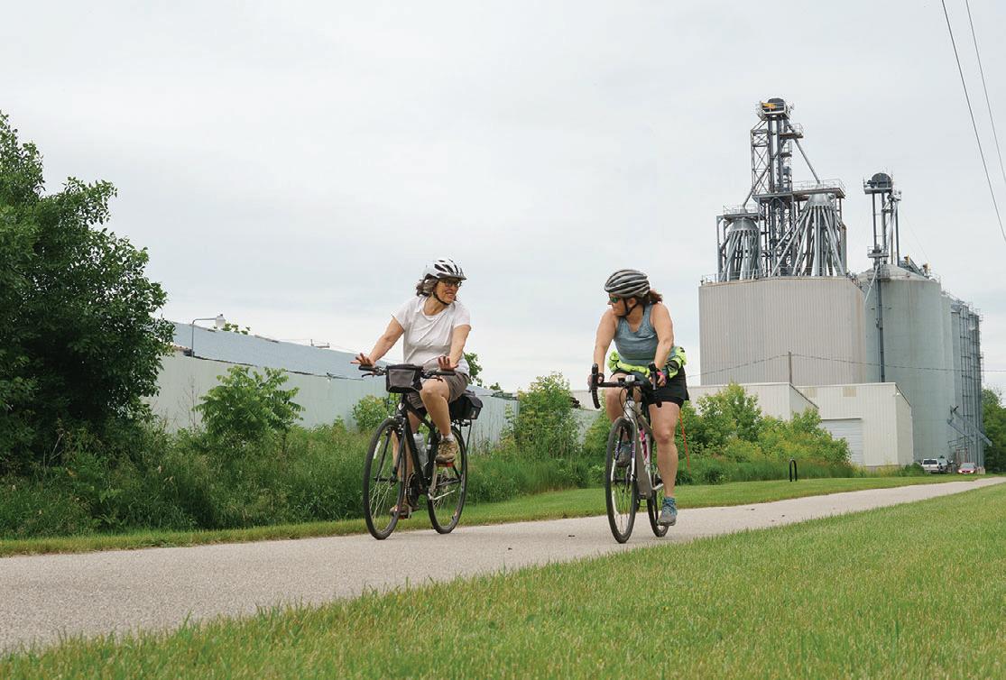


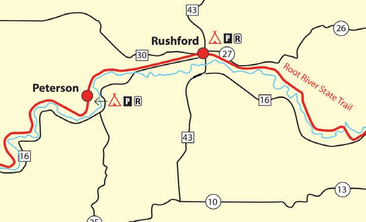
60 miles

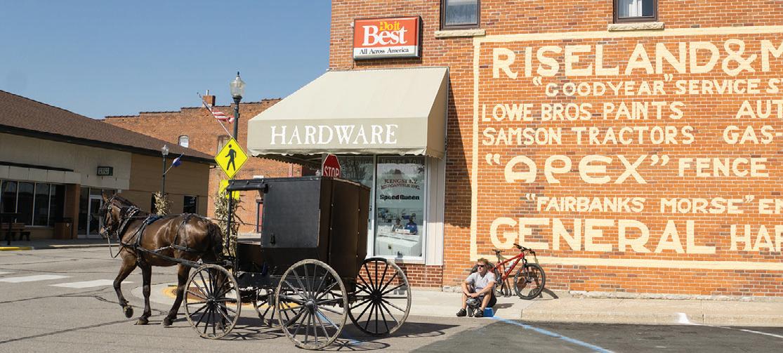



The Root River and Harmony-Preston Valley State Trail system in the heart of southeastern Minnesota’s Bluff Country is one of the major trail destinations in Minnesota. Scenic views, historic buildings and points of interest along both trails attract visitors from all over and the rural communities in this trail network provide many services. Campgrounds, bed and breakfasts, restaurants, museums, outfitters and unique stores can be found in many of the trail towns.

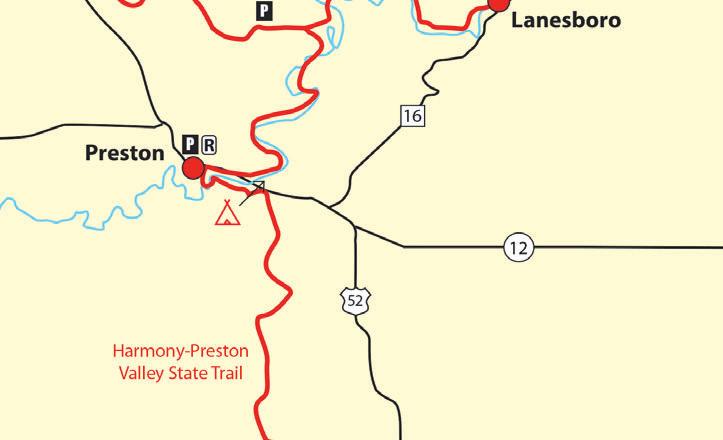

The Root River Trail runs from Fountain all the way through Lanesboro, Whalan, Peterson, Rushford and Houston for a total of 42 miles. The former rail bed follows the meandering Root River through spectacular limestone bluffs, picturesque farms and small towns. It is generally flat and level, except for short stretches on its eastern segment.
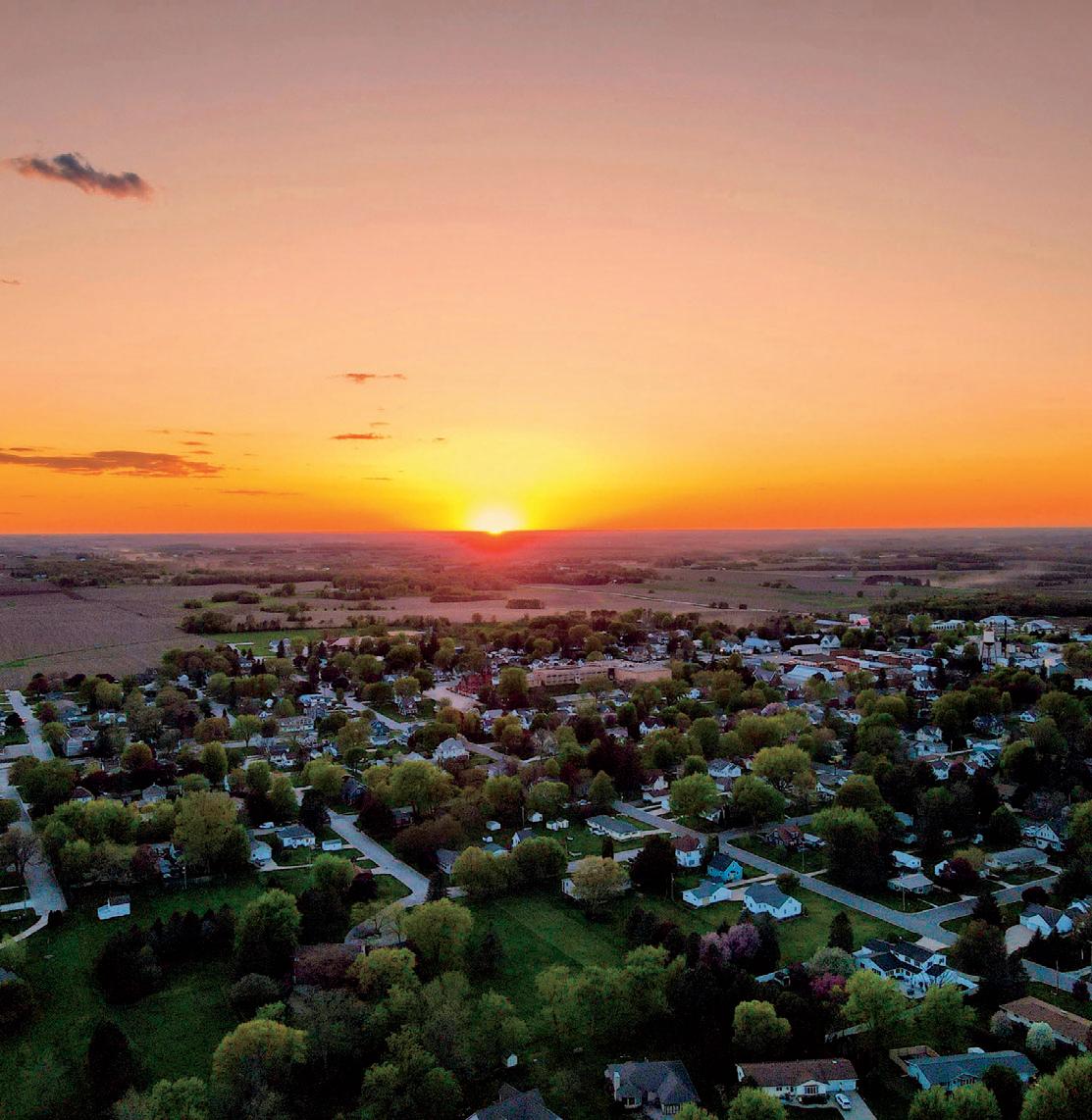
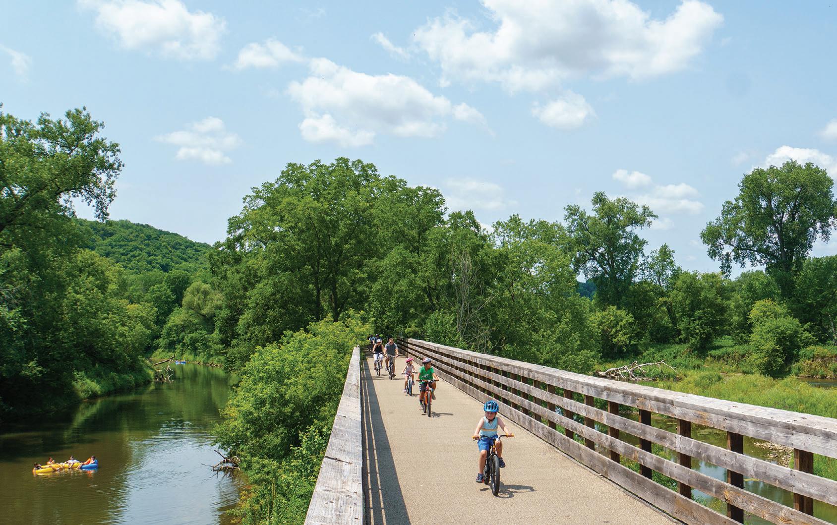
At Isinours Junction it connects with the 18-mile-long Harmony-Preston Valley Trail, which connects the two communities for which it was named. The northern two thirds of this trail are built on abandoned railroad grade and are fairly flat. The southern segment leaves the constraints of the railroad bed and climbs to the rim of the valley with great views of the countryside.
Stop and see a large sinkhole at the Karst Interpretive Site a half-mile from Harmony. A similar site is about a mile from Fountain on the Root River Trail. Summer uses on both trails include hiking, biking and inline skating. The Root River Trail is groomed for crosscountry skiing between Isinours Junction and Houston.

Along the Trail:
Fountain: Official Sinkhole Capital of the United States. View them from the trail.
Harmony: Home of Niagara Cave, which has an underground waterfall.
Houston: International Owl Center with live owls on display.
Lanesboro: The Commonweal Theatre and public art displays make Lanesboro a destination for the art lover.
Peterson: Peterson Station Museum of Norwegian culture.

Preston: Minnesota’s Trout Capital has the National Trout Center, and is close to Forestville/Mystery Cave State Park.
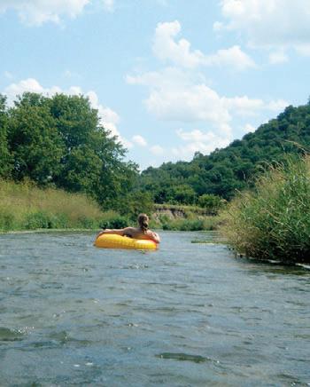


Rushford: The historic train depot on the trail houses a museum and rest area.
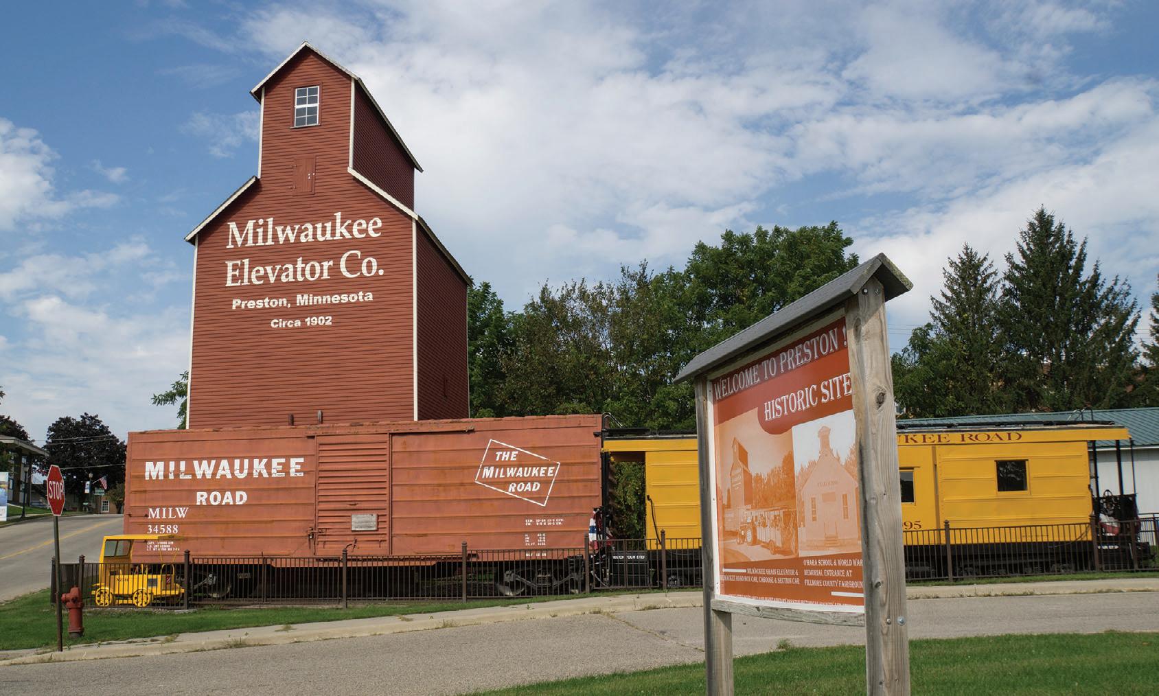
Whalan: A small town with a world-famous pie shop. Home of the annual Standstill Parade, where the parade marchers stand still and the spectators walk around.
Connections: An extension of the Harmony-Preston Valley Trail south toward Niagara Cave and then the Iowa border is currently being worked on. On the Iowa side trail groups are working to connect the Prairie Farmer Trail from Cresco, IA to the Minnesota side to form an interstate trail network.
Another leg of the trail linking Preston with Forestville/Mystery Cave State Park is in the works as well.

Root River Water Trail ENJOY PIE, ICE CREAM, PIZZA, LOCAL FOODS & MORE! STAY AT INNS, CAMPGROUNDS OR VACATION RENTALS
FLOAT or groomed or primitive bluff trails
up to 60 miles on the paved Root River Trail System
12.5 MILES

12.5 miles


with Blue Mounds Trail and Christopher Martin Ashby Memorial Trail

This paved trail in the far southwestern corner of Minnesota circles downtown Luverne and connects many of the town’s parks and sights. Downtown and its many shops and restaurants are never far away and the scenery varies between prairie views, quaint neighborhoods and the meandering Rock River. Downtown with its shops, restaurants and attractions is never far away. Start your trip at the modern trailhead building on the southeastern edge of town and make a 6.5-mile loop in either direction.
Connections: In the north, the Luverne Loop connects to the Blue Mounds Trail which adds another paved four-mile leg into Blue Mounds State Park. See the striking rock formations of the park rise up from the ground as you travel north across the prairie.
The paved Christopher Martin Ashby Memorial Trail takes off from the trailhead and travels approximately two miles east through River Road Campground and ends at County Road 9.
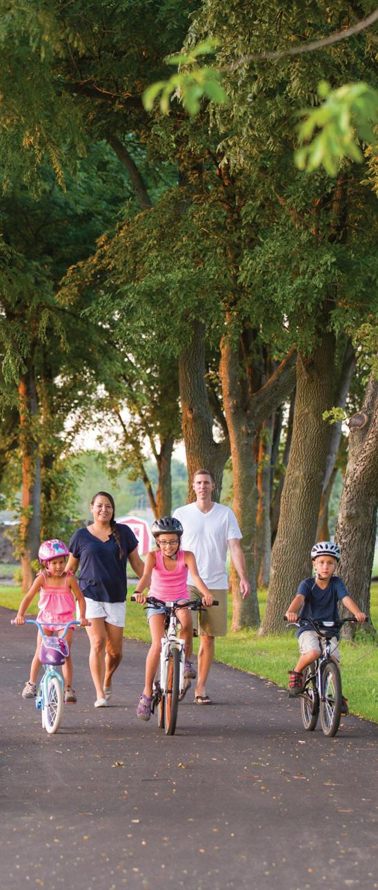
The Camden Regional Trail connects the southwestern Minnesota town of Marshall to nearby Camden State Park and makes for a nice afternoon outing in southwestern Minnesota.

Start your trip at the Red Baron Arena and Expo on the southeastern edge of town, where a tunnel takes you safely under Hwy. 23 and onto the campus of Southwest Minnesota State University. The route starts north, then cuts west across the northern outskirts of Marshall. After the airport and the golf course, the trail starts heading southwest through a scenic stretch along the banks of the Redwood River, then along Hwy. 23. You'll pass through the small town of Lynd, MN before you begin your ascent to the edge of Camden State Park. After another mile on a very scenic and winding section, you'll reach the park office and the end of the trail.
There are plenty of benches to rest along the Camden Regional Trail and interpretive kiosks with maps tell the natural and historical story of the area.
Parking is available at the Red Baron Arena, Southwest Minnesota State University, Justice Park, Victory Park and the Camden State Park office. Water and restrooms are at Camden, Justice and Victory Parks.
Connections: Marshall's network of on and off-street bike routes take you to some of the city's numerous parks and Camden State Park offers about 5 miles of mountain bike trails.


23.7 miles
The paved Ten Mile Loop is the highlight of Hasting's 23.7-mile trail system. Numerous city parks and points of interest invite you to park the bike and explore. The trail takes you along the Mississippi River, allowing you to practically step out onto the river on an overlook platform and watch the boats and barges go by.
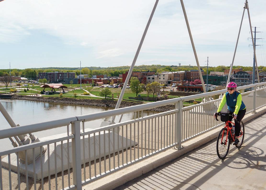
Continue along the trail past Lock and Dam #2, over a dike holding back the Mississippi backwaters, and up to a gorgeous river bluff overlook and catch glimpses of Bald Eagles soaring overhead. Travel along the Mississippi River, but also along the banks of the Vermillion River, using underpasses on County Road 46/47 and Highway 61 to stop for a break at Vermillion Falls Park, where you can take in beautiful, 35-foot Vermillion Falls in a limestone ravine. Another highlight along the route is the new Hastings Riverwalk, which connects two city parks located right on the Mississippi River. Levee Park is a perfect spot for summer entertainment with an outdoor concert venue that fills up with live music, classes
and outdoor movies from May through September. Other must-see stops are the Vermillion Gorge Bridge with its expansive river views and ruins of the old Ramsey Mill.
Connections: On the northwestern edge of the loop near Eagle Bluff Park, connect with the Mississippi River Trail Scenic Bikeway (MRT) and the Mississippi River Greenway (Dakota County Parks) and reach the Fahey Ave. trailhead at Spring Lake Park Reserve after another eight miles. A future completion of another 2.8-mile segment will have this route connect into Saint Paul.
At Hastings Bridge Plaza the northeastern edge of the trail, take the paved Point Douglas Regional Trail, also part of the MRT, across the Mississippi River into Prescott, WI.
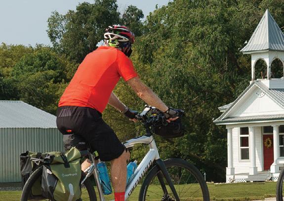
Twin Valley, MN to Duluth, MN 330 miles
WWW.RIDEMN1.ORG


Limited to 30 riders
STORY & PHOTOS BY JAN LASARver to hindthis
he RideMN1 bike tour made its first trek across Minnesota in 2017, following Minnesota Highway 1 from Oslo, MN on the Red River to Illgen City on Lake Superior. Behind this weeklong ride is the three-person team of Ride Director Waldan ‘Wally’ McFarlane, his wife Karen and brother Sandy, who make sure things go smoothly on the annual point to point tour. Recently, I had the opportunity to ask Wally a few questions. ♥ What is RideMN1?


It’s an annual cancer awareness bike ride across the state of Minnesota, in September. We are an educational nonprofit, but not a fundraising organization. Any donations we have received, we’ve been able to pass 100% of it on to our designated beneficiary, the National Cancer Institute. In Minnesota there aren’t that many multi-day rides and I tried to do something different. We’re not out to compete with any other rides, so we have it in September. ♥ What makes this tour different?
The one-way feature is the biggest thing. Not riding a loop allows us to do a true state crossing and we have a different route each year. People carpool to get back and as of this year we’re offering a shuttle, too. Next, I think it’s our size and then our cost. Our ride is the most economical bicycle tour that I know of.
If you ride with us, you’ll go to places no otherbikeridewilltakeyoubecausewe


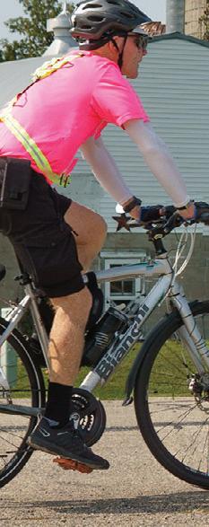
other bike ride will take you because we only have to find camping and food for 30 people. ♥ You, Karen and Sandy are the team that takes care of the riders. What are your jobs? My brother does the advance route marking, my wife drives SAG and I’m in the middle with the traveling porta potty. ♥ RideMN1 is a cancer awareness ride. What’s your personal connection? I’m a survivor. Back when I was about 30 years old, I had a little bout and I was given a 50% chance to survive. After I was diagnosed and came to terms with it my life took a change. All of a sudden, my priorities changed. When you first have this sensation and get over the struggling inside of yourself - what happened to me was I felt as free as a damn bird. I felt like I could do anything I wanted. You have this feeling of euphoria, but as time goes on that feeling goes away. If we could retain this feeling of freedom, indefinitely - that’s my story. After I started conceiving the bike ride my son got cancer at about age 45. He’s totally cured now and it isn’t about me or my son, it’s about the big picture. ♥ What do you hope
S way from


to accomplish with RideMN1? Our objective is bicycling to end cancer. We had a couple people come back and say “Geez, that’s awfully aggressive, Wally. Maybe it should be ‘Bicycling to battle cancer’ and I said ‘We are in this to win, and will not stop’.” ♥ How long does it take to plan? I’m working on the 2024 ride now and I’m not done with 2023, yet. Our bike ride is in September and by November I have to have the new route nailed down, beginning with camping and showers. It’s a year-round job, but it’s not full time. ♥ What’s the biggest challenge for you? You have to be willing to spend the time throughout the year. It’s not a trivial task, it’s not something you can work on for a month and now you’re all done. And then you have to be prepared for the long haul. In our seventh year I finally feel that now we’re getting some footing. ♥ It sounds like putting on a ride like this is a labor of love. What is your reward? I’m just hoping I made the world a little bit of a better place. ♥ Any lessons learned? People are really good at heart, people we meet. I’ve been sitting on the back of the porta potty trailer at a rest stop and had people drive up and give me a cash donation. The paybacks are big.

Ri to en had a come “Geezthat’sawfullyaggre
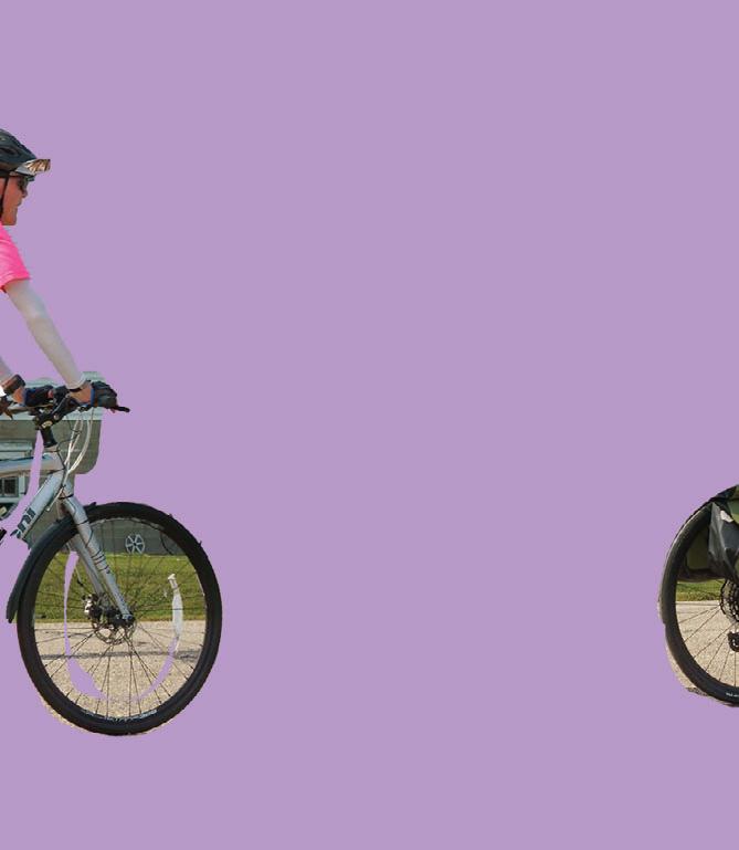
The Minnesota River State Trail will someday connect Ortonville, MN with Le Sueur via Granite Falls and Mankato following its namesake river for over 150 miles. Currently, three unconnected segments exist. The southernmost stretch of five miles takes off from the outskirts of Montevideo and travels south to Wegdahl. A threemile piece starts at the town of Milan and heads west to Milan Beach Resort on Lac Qui Parle Lake.
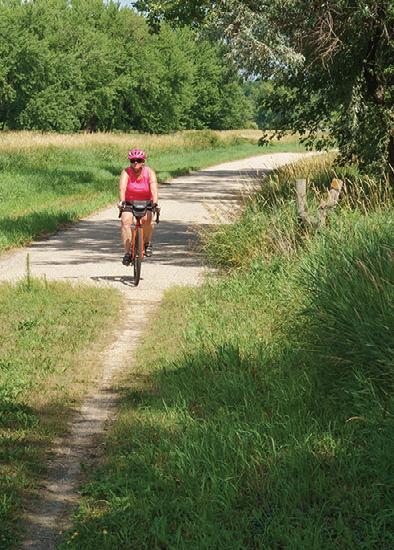

In Ortonville, the northern terminus, a 2.2-mile section links the city with Big Stone National Wildlife Refuge starting at the Minnesota River headwaters at Riverside Park. It travels along the river, past granite outcroppings and joins with paved and unpaved roads inside the refuge. Leaving from Ortonville you can ride a 12-mile lollipop-shaped route including the refuge’s five-mile auto tour route, but be prepared for a one-mile unpaved section to get there. The refuge is home to Minnesota’s rarest plant, the ball cactus, but you’re more likely to see prickly pear cacti growing in clusters on the granite outcroppings rising from the prairie. Along the way you’ll have opportunities to go for some short interpretive walks, too.
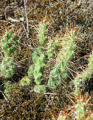

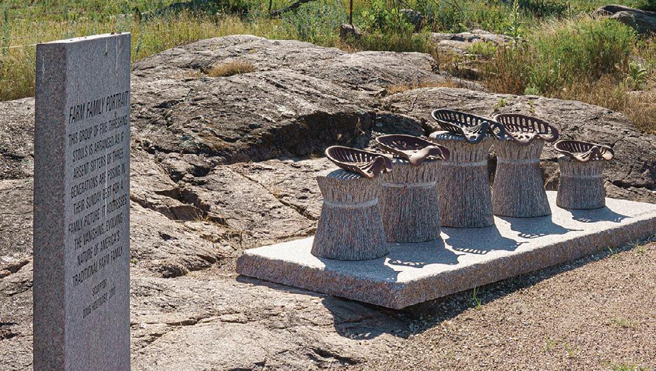


My wife Jen and I are no strangers to the Otter Trail Scenic Byway in northwest central Minnesota. Back when our legs were young, we biked this 150mile scenic route over the course of a week and saw countless lakes, climbed rolling hills and crossed the Continental Divide once or twice. Otter Tail County, home of this byway, is a big square on the map, with a notch taken out of the top left corner, and there’s a lot to do: Fergus Falls is home to the Central Lakes State Trail; two state parks, Maplewood and Glendalough, offer plenty of hiking, biking, skiing, snowshoeing and paddling opportunities; Ken Nyberg’s quirky sculptures bring visitors from around the country to little Vining and if you’ve ever had Barrel O’ Fun chips, at least your taste buds have been to Perham.
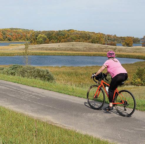
Now, there’s another reason to visit. At the end of October 2022, construction wrapped up on the McDonald Lake segment of the new Heart of the Lakes Trail which will connect Perham to Pelican Rapids via Maplewood State Park. The last piece of the route, a three-mile stretch through the state park is supposed to be completed soon, bringing the total up to 30 miles. West
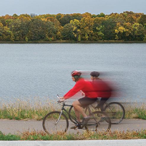
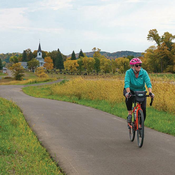
of Maplewood, a seven-mile section now reaches into Pelican Rapids; another 20mile path takes off from the northern edge near the state park’s entrance and travels northeast into Perham.


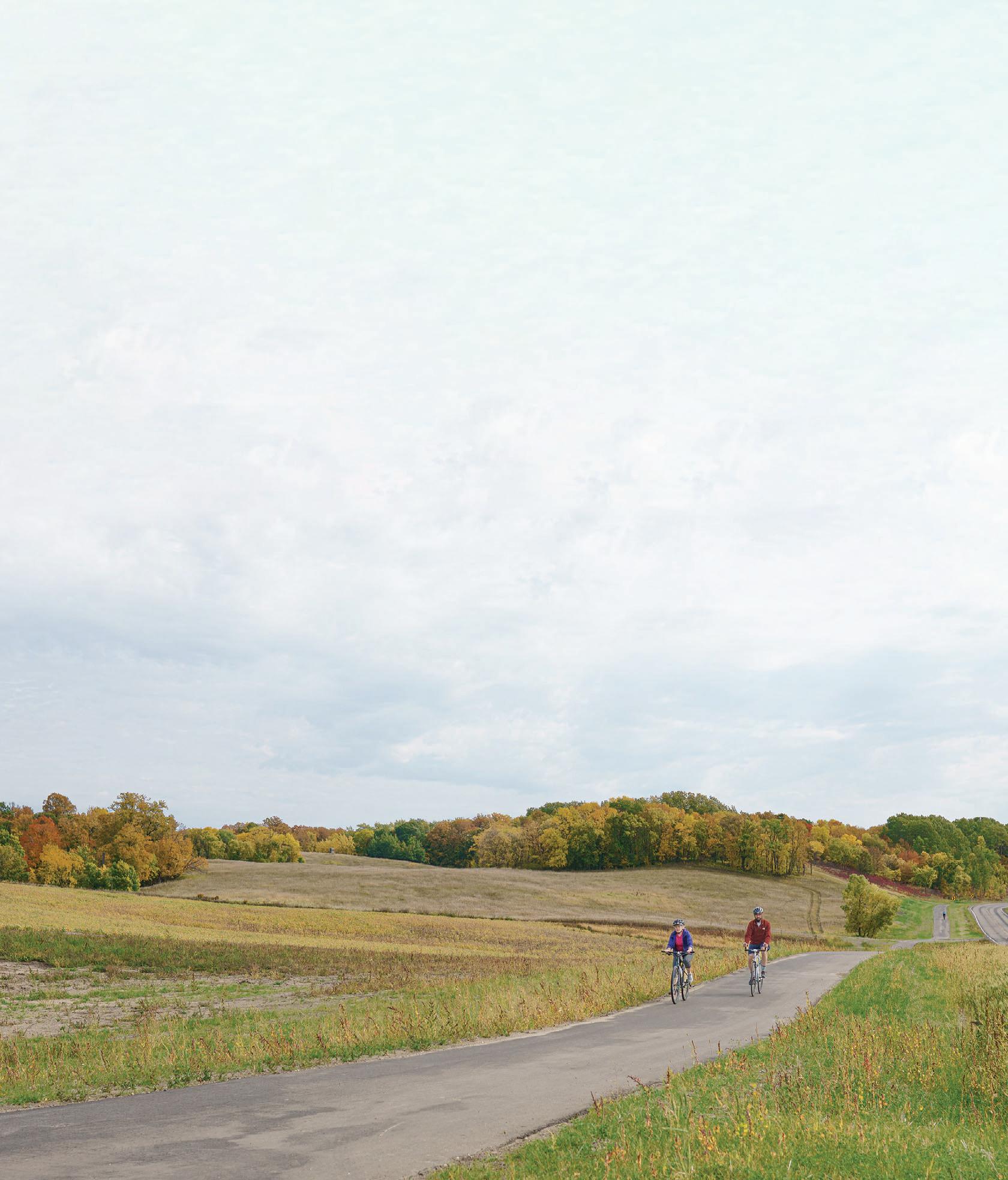
We didn’t bring enough time to ride both sections, so we tackled the Pelican Rapids segment toward Maplewood State Park, curious where exactly the trail would enter there. A mile into the ride, the memories came back: views of woods and fields with a sprinkle of lakes from the top of so many roller coaster hills. Our work on the way up was rewarded with roll after glorious roll, the ribbon of trail disappearing into the distance and around the next curve. It was the Otter Trail Scenic Byway as we remembered it, and now there was a bike trail running right alongside of it. There was nothing to do but to turn the cranks, look around, breathe and occasionally wipe the sweat from my eyes, like open road therapy without the open road. The fall colors were almost at peak and that made the ride even more special. A few more ups and downs and the trail ended on the south end of Lida Lake. Somewhere around that point, the connection into the south end of Maplewood will be
made, but the sneaky back way into the park we had been hoping for didn’t exist.


On the way back we had lunch at one of the rest stops along the trail. There are a few of those sprinkled along the entire route. A bench, a bike rack and a garbage can are the minimum equipment. The trailheads for the different sections also have parking, a picnic table and a map display. Depending on where you are on the trail there may also be a bike repair station, even water.
We also stopped at Central Lutheran Church, one of 19 scenic byway interpretive stops. “Always read the plaque” is our guideline, and this one even had a phone number to dial for some extra narration.
When we were back in Pelican Rapids it started sprinkling and we decided to work our way to Perham by car to check out select segments of the trail along the way. There’s more beautiful scenery on the eastern end of the trail system, including spectacular views of the McDonald Lakes, and we’ll definitely be back when the Maplewood section is done.

If you’ve been to Thief River Falls, you likely noticed the Norwegian-style trolls. There’s 18 of these chainsaw-carved statues around town; they’re large and small, cute and homely and have names like Gustav, Snorre and Haakon.That’s not a surprise in a town where, according to Wikipedia, 50% of the residents identify themselves as Norwegian-American. To see what else is going on there, my wife Jen and I spent a weekend in northwestern Minnesota, where two rivers meet.



Before our trip I reached out to Bike Thief River Falls, a local bike advocacy group. They helped me put together a nice route around town on a combination of trails and roads. On a pleasant Saturday morning we hopped on the bikes and rolled down the bike trail along deserted Greenwood Street toward a neighborhood on the Red Lake River, a state water trail. We eventually crossed the river at First Street East. We were now on the west side of the river and went north on the River Walk. This bike and pedestrian trail follows the Red Lake River’s north-south path through town and connects nine of the city’s parks like pearls on a string. Interpretive signs along the way tell the story of this town at the confluence of the Thief River and Red Lake River. The north-south part of the River Walk is only about three miles long, but if you add the natural surface trails at Oakland Park, Greenwood and Northland College you’ll have about seven miles of trails with the
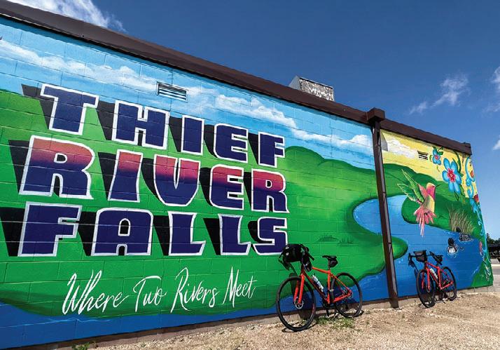

h the natural l su f rface tr i aills at O Oakland Greenwood and Northland seven wit t river as a backdrop at abou point past old S Line Depot city hal l stopped for a selfie at the b blue #TRF at Red Park. The a joined by the Thief River I crossing the river again t w the Thief River on one


We entered the River Walk at about the halfway point past the old Soo Line Depot turned city hall and e at the bright blue #TRF sculpture at Red Robe e Red Lake River makes a horseshoe bend here and is ief River from the north. I realized later when crossing the river again to get to Northland College, we had ief River on one side
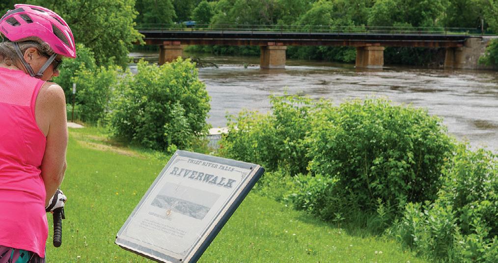
and the Red Lake River on the other. Unfortunately, the natural surface trails at the college were too wet to ride from recent rains, and we turned back to finish the southern half of the River Walk. At Mill Yard Park, we parked the bikes and walked across the narrow dam to watch the waters of the swollen Red Lake River froth and churn on their journey south toward Red Lake Falls. It wasn’t looking good for a kayak trip on this visit.
We briefly veered off the trail for lunch and some shopping, then continued on the River Walk and rode to the Peder Engelstad Pioneer Village on the grounds of the Pennington County Historical Society (PCHS) where they’ve saved nineteen historic structures from around the area to assemble a Pioneer Village that allows a glimpse of what life might have been like decades ago. There’s a blacksmith shop, a gas station, the old Sons of Norway Lodge, a barber shop, a mansion and two train depots. You can now rent the former church of Asphult, MN for your wedding upstairs or a game of glow-in-the-dark mini golf in the basement. The warehouse-like space of the Historical Society housed a dizzying number of antique vehicles and farm implements as well as high school memorabilia and other witnesses
of life in Thief River Falls from bygone years. Jen and I were separated as I headed straight for the fire truck. I later found her playing Oregon Trail on a working 1980s Apple Macintosh, reliving her youth and happily bathing in the pixelated flicker of low-res images. Sadly, Rick drowned while crossing the river, and with him went 54 bullets, 656 pounds of food and various wagon parts.
After an eventful day, we turned in to rest.
Before our trip we had arranged to rent kayaks at Wild Side Kayak Tours and explore the river system in Thief River Falls. They were very helpful and suggested several areas we should visit. Unfortunately, we had to change our plans. Recent rains had left both rivers swollen and running high and fast and the day we had set aside for kayaking was very windy, and that did not make things any better. We were bummed to not go paddling in a town with two rivers and the excellent kayak launches would have made it even easier to enter and exit the water. Instead, we opted to go for walks at the Greenwood and Northland College Trails, just before we headed home. Luckily, those natural trails had
dried enough for foot traffic and made for a wonderful walk through the woods.
With Thief River Falls in the rearview mirror, we began talking about our next visit and some of the things we missed out on this time.



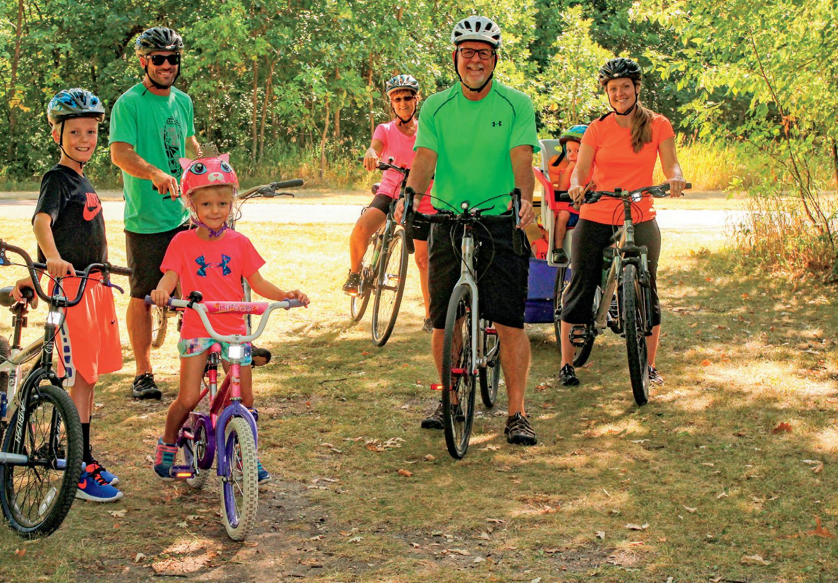
When you go, make sure to bring your bike, kayak, walking shoes
and
an
Minnesota’s bike trails, long distance hiking trails, water trails, state parks, state recreation areas and biomes




You need a place to eat, stay, play and upgrade your gear? Our Trail Partners are here to help!
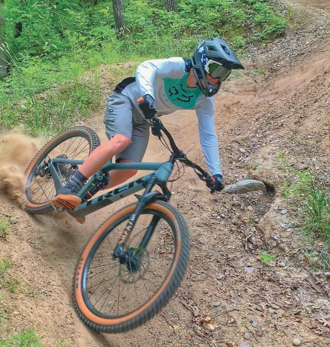
CYKEL 218-772-0177
324 Curtis Avenue, Ironton www.cykelonline.com
FITZHARRIS BIKE & SPORT 320-251-2844
105 7th Avenue S, St. Cloud www.fitzharrismn.com
JAKE’S BIKES 320-219-7433
419 N. Nokomis St., Alexandria www.jakesbikes.com
REVOLUTION CYCLE AND SKI 320-251-2453
160 29th Avenue South, St. Cloud www.revolutioncycleandski.com
TOURIGHT BICYCLE SHOP 320-639-2453
124 2nd Street NE, Little Falls www.tourightbicycleshop.com
BIKE KING
6489 Cahill Avenue, Inver Grove Heights www.bike-king.com
FARIBAULT AREA CHAMBER 507-334-4381 530 Wilson Ave., Faribault www.visitfaribault.com
VISIT MARSHALL 507-537-1865
1651 Victory Drive, Marshall www.visitmarshallmn.com
VISIT FERGUS FALLS 218-332-5425
112 Washington Ave. W, Fergus Falls www.visitfergusfalls.com
HUTCHINSON CHAMBER 320-587-5252
2 Main St., Hutchinson www.explorehutchinson.com
VISIT BRAINERD 800-450-7247
14084 Baxter Drive, STE 12, Brainerd www.visitbrainerd.com
LOPPET FOUNDATION 612-604-5330
1301 Theodore Wirth Parkway, Minneapolis www.loppet.org
LOVIN’ LAKE COUNTY 218-391-5081 1330 MN-61, Two Harbors www.lovinlakecounty.com
COMMON GOODS 218-772-2999 27 W Main Street, Crosby www.littlerockdesigns.com
651-457-7766

CARS BIKE SHOP 763-784-6966

2661 Co Road I & Old Hwy 10, Mounds View www.CarsBikeShop.com

MAKLIN BIKE SHOP 651-247-8614
30235 Redwing Avenue, Shafer www.maklinbikeshop.com
RAMSEY BICYCLE 763-323-6666
6825 Hwy. 10 NW, Ramsey www.ramseybicycles.com
LITTLE ROCKS DESIGN STICKERS Melrose 320-333-2520 www.commongoodsmn.org
VICTUAL 218-545-1000 124 West Main Street, Crosby www.shopvictual.com
See


COLDWELL BANKER CROWN REALTORS Hwy. 6 & 210, Crosby 218-546-8346
www.coldwellbankercrown.com
CUYUNA REGIONAL MEDICAL CENTER 320 East Main Street, Crosby 218-546-7000 www.cuyunamed.org
DEERWOOD BANK 218-534-3111 21236 Archibald Road, Deerwood www.deerwoodbank.com
MID MINNESOTA FEDERAL CREDIT UNION 117 West Main Street, Crosby 218-546-5428 www.mmfcu.org
OARS-N-MINE 218-546-6912 22640 MN-6, Crosby www.oarsnmine.com
TIMBER BUILDING SUPPLY 218-678-2063 14506 State Highway 6, Deerwood www.timberbuildingsupply.com

GREEN HERON B&B
218-999-5795 2810 Meyers Bay Road, Grand Rapids www.greenheronbandb.com
BIG RIVER RESORT
651-565-9932 1110 Hiawatha Dr. E www.bigriverresort.com
CUYUNA LAKES STAY 218-866-2325 23688 Forest Road, Deerwood www.cuyunalakesstay.com
RED RIDER RESORT 218-838-6858 23457 Co. Rd. 31, Crosby www.redriderresort.com
BEMIDJI BREWING 211 America Avenue NW Bemidji 218-444-7011
www.bemidjibeer.com
THE HUDSON 218-772-0096

208 Curtis Avenue, Ironton www.hudson218.com
THE DEERSTAND RESTAURANT AND BAR
24188 Mohs Street, Deerwood 218-534-9253
www.deerstandrestaurant.com
TACONITE CANTEEN 218-545-2220
240 Curtis Avenue, Ironton www.taccanteen.com
