
INITIAL ANALYSIS OF TARQUINIA


Introduction to the city

The ancient city of Tarquinia, originally known as Corneto, is located in the province of Viterbo in the Italian region of Lazio. It is famous for the numerous ancient Etruscan tombs in the necropolis or cemetery that it overlies, for which it was given UNESCO World Heritage status. In 1922, the name was changed to Tarquinii (Roman), also known as Tarch(u)na (Etruscan). Even though the old city’s former vast richness and expanse are barely discernible, archaeology is gradually showing hints of its former splendor. The Monterozzi Necropolis, the largest necropolis in Tarchuna, contains over 6,000 graves, 200 of which had exquisite wall murals, and many of which were tumulus tombs with chambers carved into the rock below. A portion of this necropolis can be seen today.
The Monterozzi Necropolis, the largest necropolis in Tarchuna, contains over 6,000 graves, 200 of which had exquisite wall murals, and many of which were tumulus tombs with chambers carved into the rock below. A portion of this necropolis can be seen today.
The painted scenes offer a priceless window into the little-known and clandestine world of the Etruscans and are of a caliber that is nearly unmatched elsewhere in the Etruscan world. They display sporting events, sexual and occasionally legendary scenarios, as well as banquets with dances and music. In later times, processions of magistrates and other emblems of the rank of the prominent members of the families buried there were painted, as well as underworld demons accompanying the dead on their journey to the afterlife and images from the nether world.


CONTENTS


CONTEXT ANALYSIS
It is crucial to comprehend the various landscape systems and features by reading the context and switching between various scales, such as from the Monterozzi Necropolis and the city of Tarquinia to a greater area of the surrounding terrain.

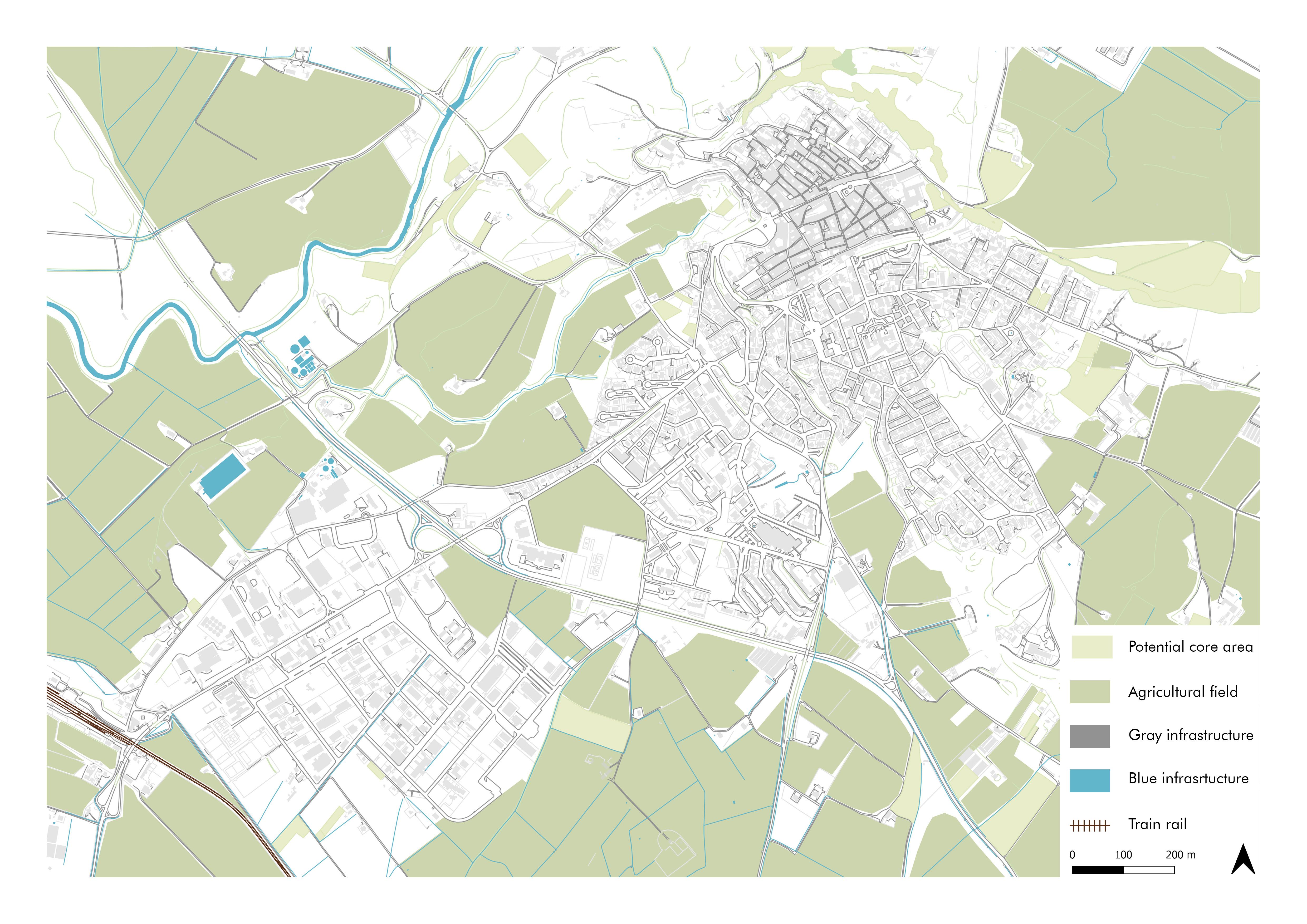
The railway, which is really outside the city, the Highway E80 that connects Tarquinia to important towns like Rome and Florence, and the old route Aurelia are all shown by the gray infrastructure.
A vast network of streams and canals are branched off by the River Marta, which originates from Bolsena Lake and runs into the Tyrrhenian Sea. Additionally, the Tarquinia Plateau’s subsurface streams and wells demonstrate a substantial potential for the blue infrastructure.
However, the green infrastructure connects to a larger network of northern mountains and hiking destinations including La Castellina, Roccaccia, and via Cava, the majestic informal old etruscan roadway that linked many etruscan villages together. It consists of a variety of rural Tarquinia landscapes.

03 SITE ANALYSIS
1.1 LOCATION
1.2 ACCESSIBILITY ANALYSIS
1.3 INFRASTRUCTURE ANALYSIS
1.4 UNESCO
1.5 CLIMATE ANALYSIS
1.6 VEGETATION
1.7 CONTOUR ANALYSIS
1.8 TOMBS OF TARQUINIA
1.9 NECROPOLIS DI MONTEROSSI
1.10 ORITENTATION OF THE TOMBS
1.11 CLASSIFICATION OF THE TOMBS
1.12 SITE PHOTOS
1.13 SYNTHESIS MAP
1.14 SWOT ANALYSIS

LOCATION


ACCESSIBILITY ANALYSIS

INFRASTRUCTURE ANALYSIS


CLIMATE ANALYSIS

VEGETATION


CONTOUR ANALYSIS

Site Level

TOMBS IN TARQUINA

NECROPOLIS DI MONTEROSSI

ORIENTATION OF THE TOMBS

ACCESSIBILITY OF THE TOMBS

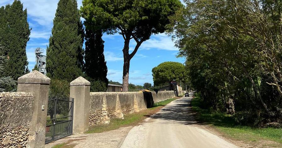
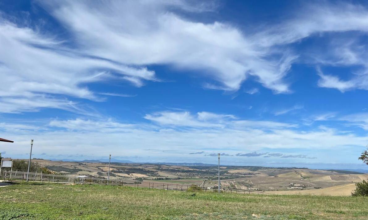
Site Photos


During site visit on October 2022
Urban Scale


Neighbourhood Scale


Necropolis


SYNTHESIS MAP


Urban Strategy


Why Tunnel ?

Additional Details
Scan the QR for furthur details of the project :


Interactive presentation on initial analysis
Video walkthrough
Final design panelsTARQUINA EMPIRICISM GROUP 9


