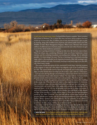
I can’t tell you how many times I’ve heard fellow hunters complain “there’s nowhere left to hunt in Montana.” Yes, it seems like more and more private property has been locked up in recent years. But 23 million acres of state and federal land is open to public hunting, along with 8 million acres of private and isolated public land in the Fish, Wildlife & Parks’ Block Management Program. What’s more, Montana still contains millions of additional acres of private property across the state where hunters can gain access if they obtain landowner permission. Step one in getting permission is finding out who owns the land you want to hunt. That’s not always easy, considering Montana’s many out-of-state landowners, tenant ranchers, and the confusing boundaries surrounding some holdings. But it’s definitely possible—I’ve been doing it for years. The key is knowing how to read land ownership maps, which to the unschooled can be imposing documents filled with seemingly indecipherable numbers and codes. Fortunately, learning to read these maps is not that difficult. Here’s how it works: The system of land description for the continental United States (with the exception of the original 13 states and a few others) was adopted as part of the Land Ordinance of 1785. The system divides land by latitude and longitude into 6-mile-square townships. It further divides those townships into 36 sections, each 1 mile by 1 mile square. Let’s say you’re driving through central Montana and see some brushy draws between rows of harvested wheat: ideal pheasant habitat. The crops indicate the land is likely privately owned, which means you’ll need to ask permission. But from whom? Find out by visiting the appraiser and assessor’s office at the county office building in the county seat. What the clerk will need is a clear legal description. To determine that, you’ll need a map with township lines (which run east and west) and range lines (running north and south). Each of the square-mile sections in the township will be numbered from 1 to 36. Let’s say the pheasant cover you saw is mostly on sections 5 and 6 of the township. Start with the section number, then add detail to fully identify the land. If the township is 3 North and the range is 3 West, then the legal description would be “Sec. 5&6, T3NR3W.” The clerk will pull the section maps and look up a property identification number and the corresponding landowner’s name and mailing address. Phone numbers and e-mail addresses are not provided. If the address is nearby, drive there and ask permission. If it’s a post office box, you’ll have to write for permission. To find a phone number, try an Internet search. Sometimes I look for landowners during the hunting season. But usually my search begins in midsummer, after I learn whether I’ve drawn the antelope or deer permits I’d applied for earlier in the year. Once I know the general areas where I can legally hunt, I BUCK THE ODDS It’s not always easy to gain access to private land. Learning who owns the property and how to ask appropriately can improve your chances.
Montana Outdoors


