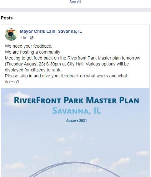
RiverFront Park Master Plan

Savanna, IL
June 2023


June 2023

WITH SPECIAL THANKS TO: The individuals who provided feedback to help define the final recommendations of this document.
PREPARED FOR:
Savanna, Illinois City Hall: 333 Chicago Avenue Savanna, IL 61074
PREPARED BY:
MSA Professional Services, Inc.
6045 Rockwell Drive NE, Suite A, Cedar Rapids, IA 52402
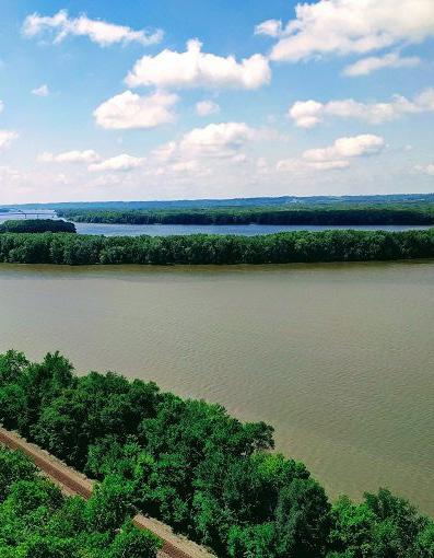
When people talk about the places they love in a community, parks are typically at the top of the list. Parks are essential to the physical, economic, environmental and social health of cities and residents. Parks, trails, open space and recreation programs provide communities with many benefits. The purpose of the RiverFront Park Master Plan is to guide the City of Savanna in maintaining and enhancing the community’s parks, trails and recreational opportunities. This document provides current insight in the existing conditions and potential opportunities for RiverFront park enhancements. The planning process included reaching out to the community for their thoughts on the existing conditions of Savanna’s waterfront parks and trails as well as what they would like to see in the future This document is also intended as a guidebook for new recreational development in the City as the community grows.
The information in this plan represents the results of an interactive and engaging public outreach program with Savanna community members. Prior to inventory and data collection, the project team met with City Staff and the Project Team to establish objectives and expectations for the project.
One overarching goal of the Plan and process is to communicate the importance of parks and recreation as a community-wide benefit to people’s quality of life. Another goal is to help ensure that future investment in Savanna’s parks and trails system meets the needs of the community. The City of Savanna requested the assistance of MSA Professional Services Inc. to complete a Parks and Trail Plan.
The process of developing the plan includes addressing additions and improvements of amenities, and connectivity of the community to the river front. The planning process represents input gathered from the community, stakeholders, and City staff. Guidance on plan preparation was provided by City Staff and the Parks and Trails Planning Project Team. Over the project duration the Project Team and MSA provided input for the process and document content throughout the project.
Provide opportunities to broaden the diversity of park users geographically, and being inclusive to all.
Promote and improve safety and accessibility within Savanna’s parks and trails.
Provide a framework for short, mid, and long-term improvements and growth opportunities for existing and future parks, and trails. Provide Savanna with a living usable document that can be easily amended and is implementable.
The definitions used in this plan are modified definitions used by the National Recreation and Park Association (NRPA). They are used to classify the existing recreation system and to guide plans for the future. They begin with the smallest and most intensely used and the proceed to largest and least used. Neighborhood and community parks are normally provided by municipalities. Larger recreation areas are normally provided by larger units of government or private enterprise.
MiniParks
Typically on a small lot (1/4 acre), located within a residential neighborhood. Usually have one facility and benches.
- Desirable size - 2 acres or less
- Acres/1,000 population: .25 to .5
- Service Area: 1/8 to 1/4 mile radius
Neighborhood Playgrounds
Neighborhood Parks
Serves the needs of children 5-15 years old. It provides open fields, courts, shelter facilities, and play area. It should be within walking distance.
- Desirable size - 2-4 acres
- Acres/1,000 population: 0.5 - 1.5 acres
- Service Area: 1/4 to 1/3 mile radius
This provides open space for all ages and enhances the overall environment. A natural location is ideal for this type, and it usually has tables, benches, paths, lights, and is walkable.
- Desirable size - 3-7 acres
- Acres/1,000 population: 5.0 -8.0 acres
- Service Area: 1 to 2 mile radius
Community Play-fields
Serves the active needs of several neighborhoods. Includes more than a park such as a pool, community center, and fields for sporting events.
- Desirable size - 5 or more acres (15-40)
- Acres/1,000 population: 5.0 -8.0 acres
- Service Area: 1 to 2 mile radius
Community Parks
Special Purpose Parks
Reservation and Preserves
Intended to serve many neighborhoods. Tends to have woods, water features, trails, and picnic areas. Should be determined by the size of the population.
- Desirable size - 3-7 acres
- Acres/1,000 population: 5.0 -8.0 acres
- Service Area: 1 to 2 mile radius
Created to take advantage of a natural or unusual feature, or to preserve areas and provide recreation. Golf course, marinas and boat ramps could be considered this.
- Desirable size - varies on function
- Acres/1,000 population: varies on function
- Service Area: varies on function
Usually located outside of the urban area and include large tracts of land that have limited development. Usually provided by state, federal or county governments.
- Desirable size - varies on function
- Acres/1,000 population: varies on function
- Service Area: varies on function
Greenbelts
Almost the same characteristics as the reservation or preserve; however it may be used to shape urban development. It could connect parks within an urban area.
- Desirable size - varies on function
- Acres/1,000 population: varies on function
- Service Area: varies on function
Waysides, Welcome Centers, Historic Markers
Special purpose parks designed to serve motorists. They are important to a tourist industry. Size and location depends on natural features.
- Desirable size - varies on function
- Acres/1,000 population: varies on function
- Service Area: varies on function
Parks are often the most important and highly prized components of any community. They are sources of civic pride and are essential to the physical, economic, environmental, and social health of communities and their residents. Good planning is essential to a community’s recreation system as it provides a means to meet the needs and wants of the community. As a plan is developed it is important to keep in mind the variety of benefits that parks and recreation add to the community.
When residents and visitors have access to parks, trails, and recreation facilities, they exercise more and are generally healthier and happier. Additionally, increased exposure to natural areas that parks and open space provide has been linked to improved physical and mental health. Parks and trails encourage healthy, happy, active lifestyles and improve overall quality of life throughout a community.
Parks have important social benefits. In a time when social media defines the interactions of many people, parks and recreational centers are places to meet, catch up with family members and friends, and feel like part of the larger community. As a focal point of neighborhoods, parks help develop connections between residents by providing a venue for community building gatherings, like school trips, festivals, and celebrations. Significant natural features, like the Mississippi River and social gathering areas, have facilities and events for the enjoyment of all community members.
Parks and open space provide environmental benefits. Natural and planned vegetative landscapes found in parks, preserves and open spaces improve air quality and water quality. These areas may also play a role in stormwater management and protecting the quality and vitality of natural areas. Savanna also has the benefit of bordering the Mississippi River even though direct access is not yet. The Mississippi River Trail, and connected pathways that bind Savanna to regional trails, make the area’s natural resources and features accessible to Savanna’s residents.

Numerous studies have shown that close proximity and access to parks, trails, and open space has a positive impact on residential property values. Commercial property values can also be increased with proximity to recreational amenities, creating potential for these sites to act as catalysts for future growth and development. Access to recreational amenities helps fuel growth and investment in local economies.
Parks contribute to aesthetics of a community. Parkways, tree-lined streets, gardens, views of water bodies, public art, trails, and landscaped areas around town are all things that contribute to creating beautiful places to live, work, and play. Visitors often remember a place by its access to beautiful natural areas, contributing to a positive community image. Improved linkages should also connect community parks to other community nodes. Attractive, safe and well marked linkages make essential contributions to a community’s livability and viability.
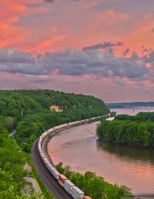
Park planning and visioning help identify community-wide recreational needs and help guide a community towards making efficient improvements. Planning process and plans are intended to allow the City to better understand and serve the recreational needs of the public. Inclusive, innovative and engaging community outreach was a foundation of this planning process. The Project Team incorporated different opportunities for engaging community members, with flexible options for engagement.
Busy schedules make it sometimes difficult to set-aside time to attend traditional meetings. Additionally, sometimes passionate individuals are not comfortable voicing their opinion in front of others in a public setting. Providing different strategies and tools for receiving input allows everyone a chance to become actively involved in the discussion of how to improve their community.

The Project Committee served as the primary review and advisory committee for the creation of the plan. The Committee consisted of the Project Team, and volunteers from the community with an interest in parks and recreation, and a local knowledge to help assist the Project Team. The first meeting of the Steering Committee provided a great list of SWOT (Strengths, Weaknesses, Opportunities and Threats) for analysis.
The SWOT, Strengths, Weaknesses, Opportunities and Threats Analysis was performed at a Visioning Workshop. Participants were guided by the following questions:
- How can Savanna’s riverfront be enhanced with more park and recreation opportunities?
- What advantages do we have that we can utilize?
- What challenges do
know about and can plan for?
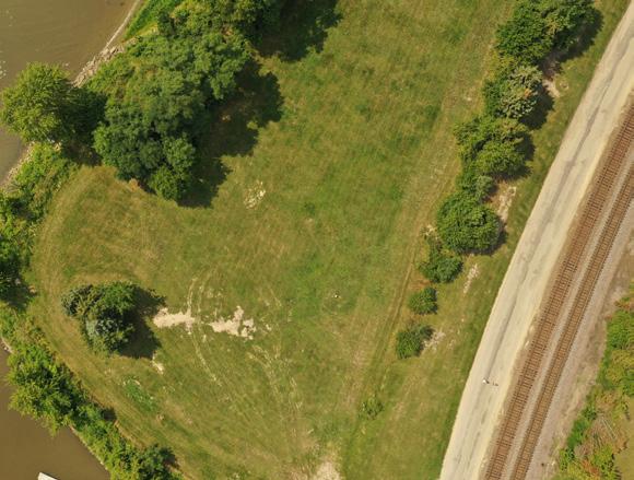
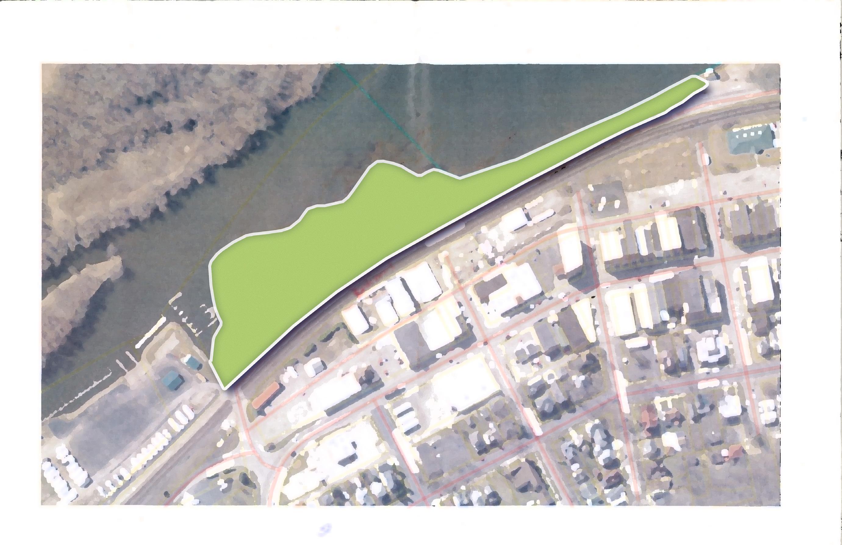
PROPOSED IMPROVEMENTS:


• Parking (Roughly 12 spaces)
• Trail connection with the great river bike trail
• Pavilions
• Picnic tables
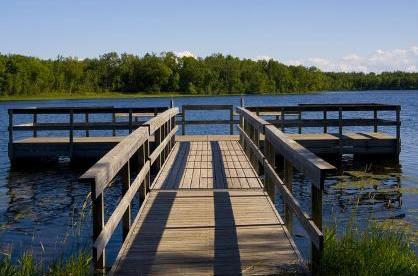
• Fishing dock (pier)
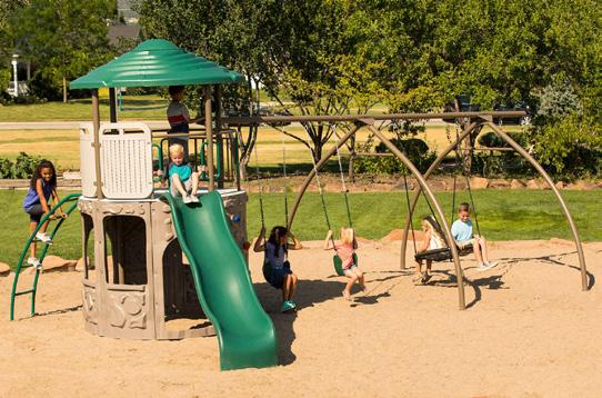
• Playground or play features
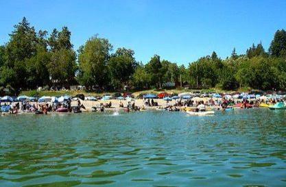
• Boat Launch
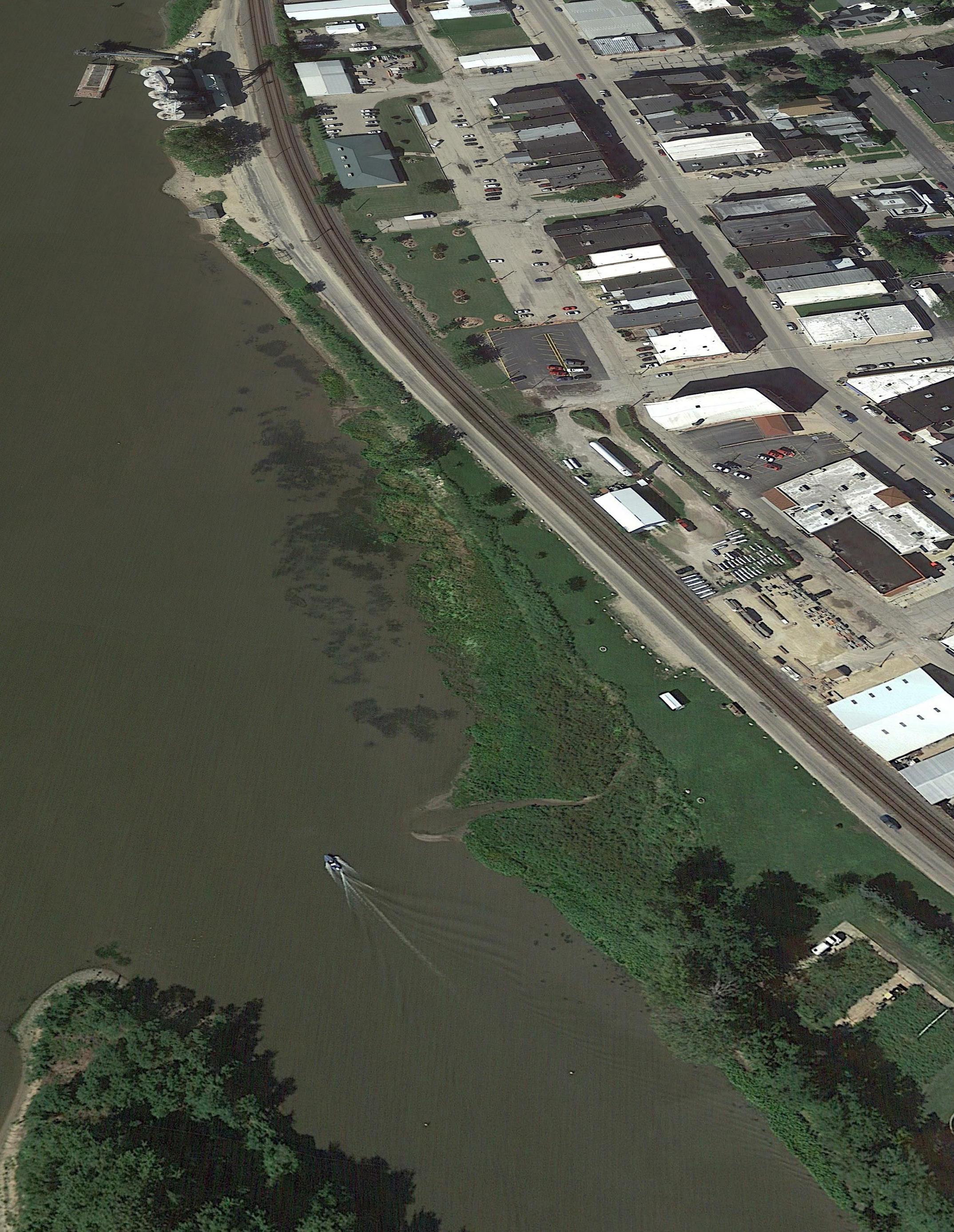
PROPOSED BOAT LAUNCH LOCATION

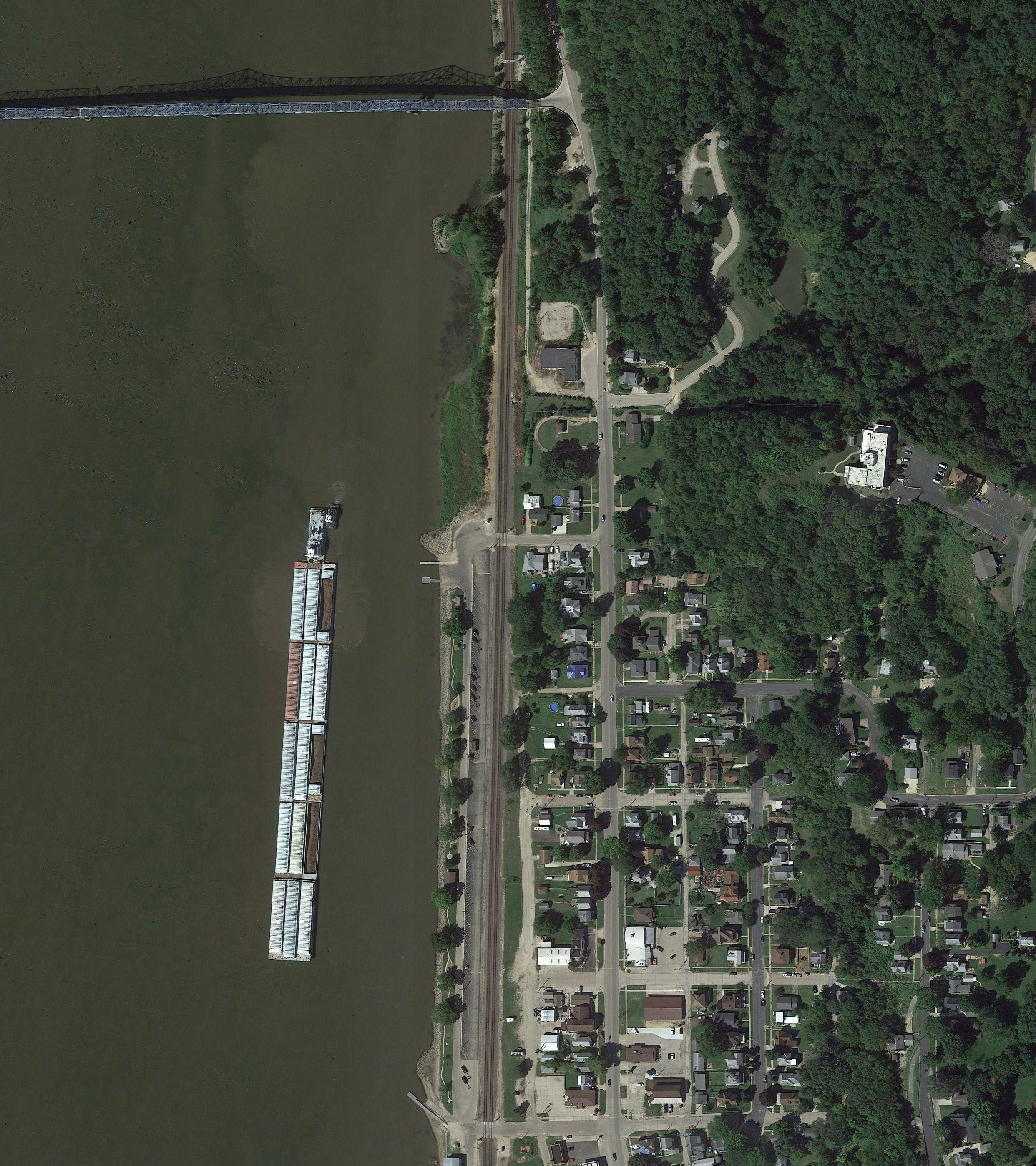
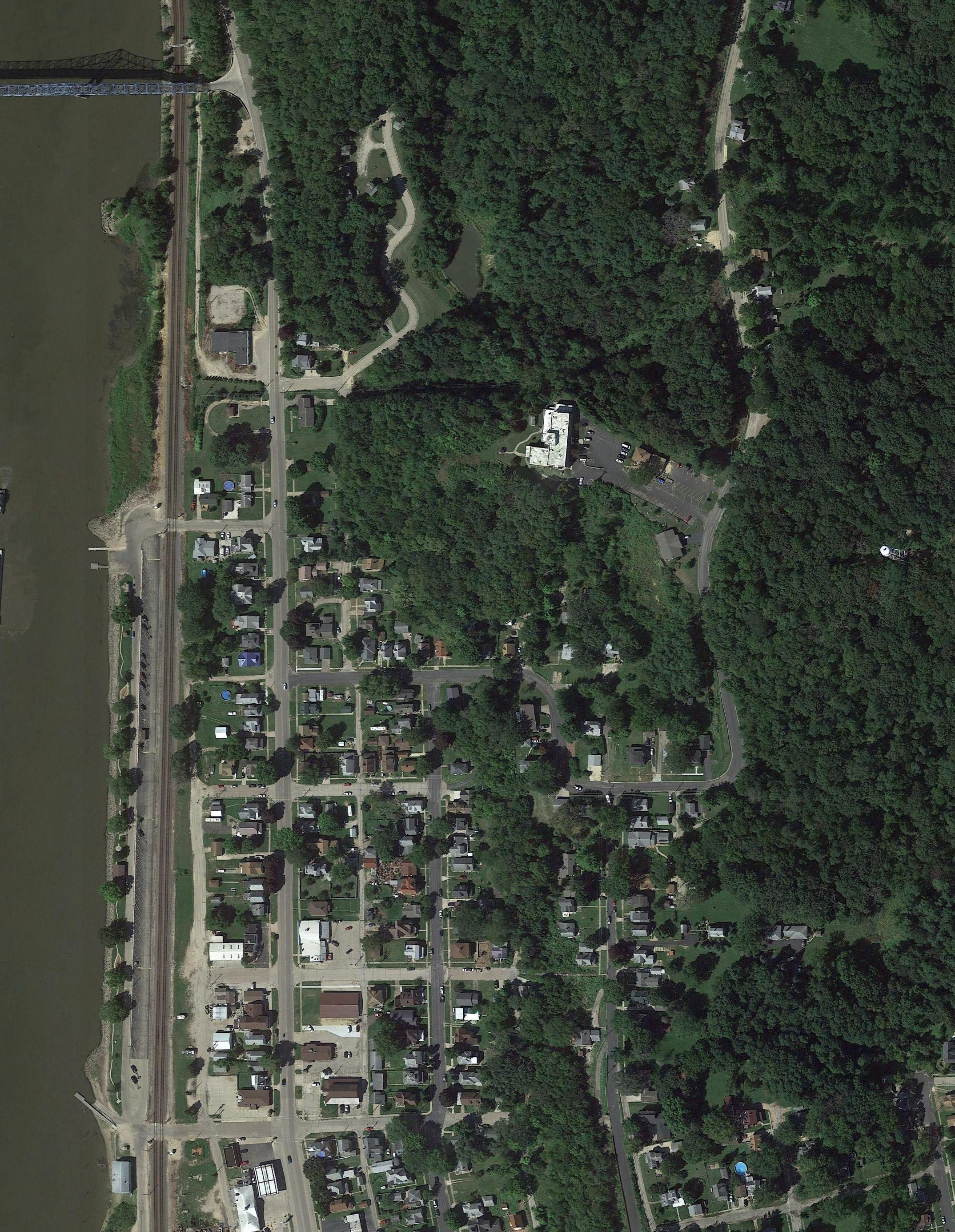
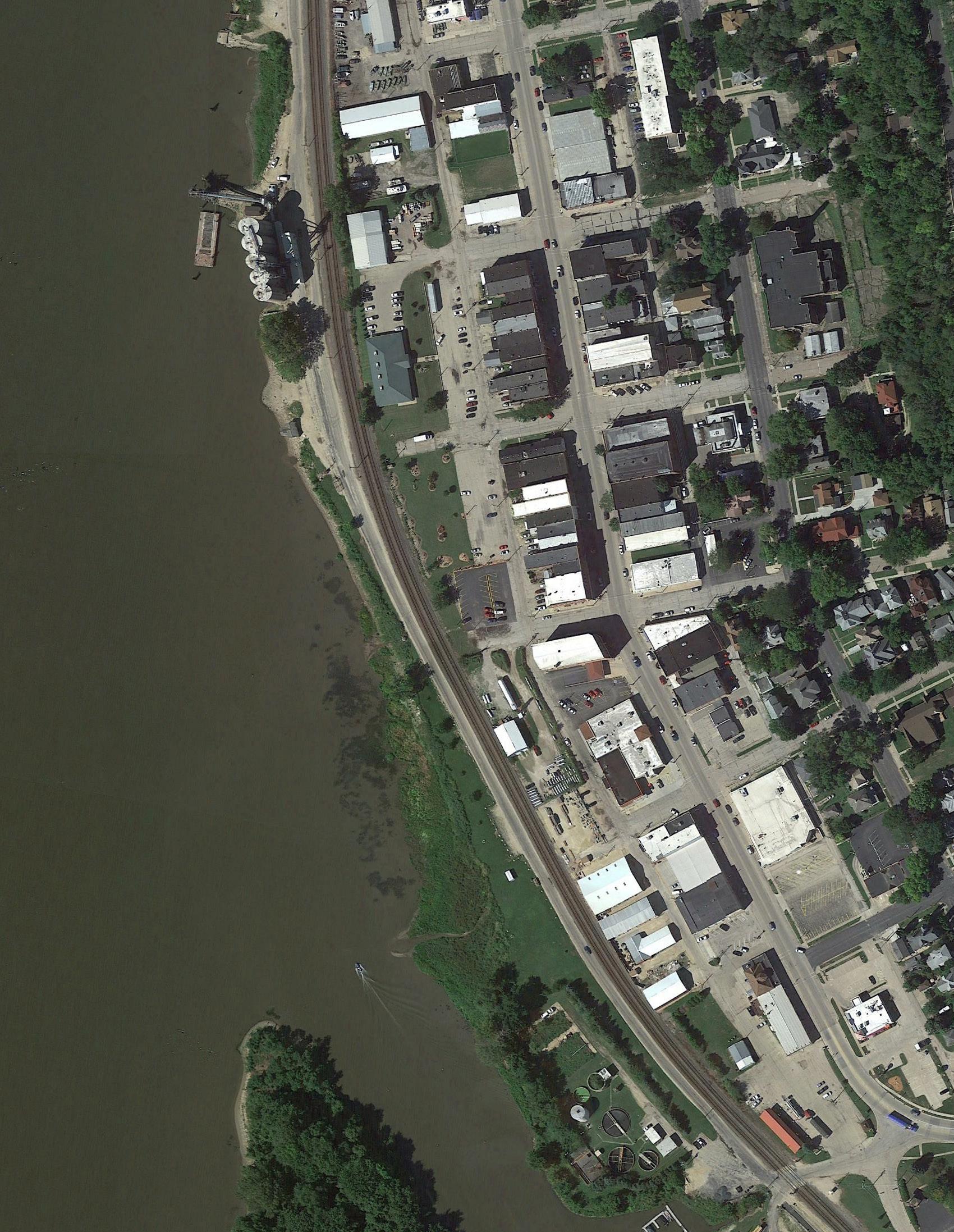
EXISTING RIVERFRONT PARK IMPROVEMENTS
PROPOSED RIVERFRONT PARK IMPROVEMENT AREA
Google Earth Pro

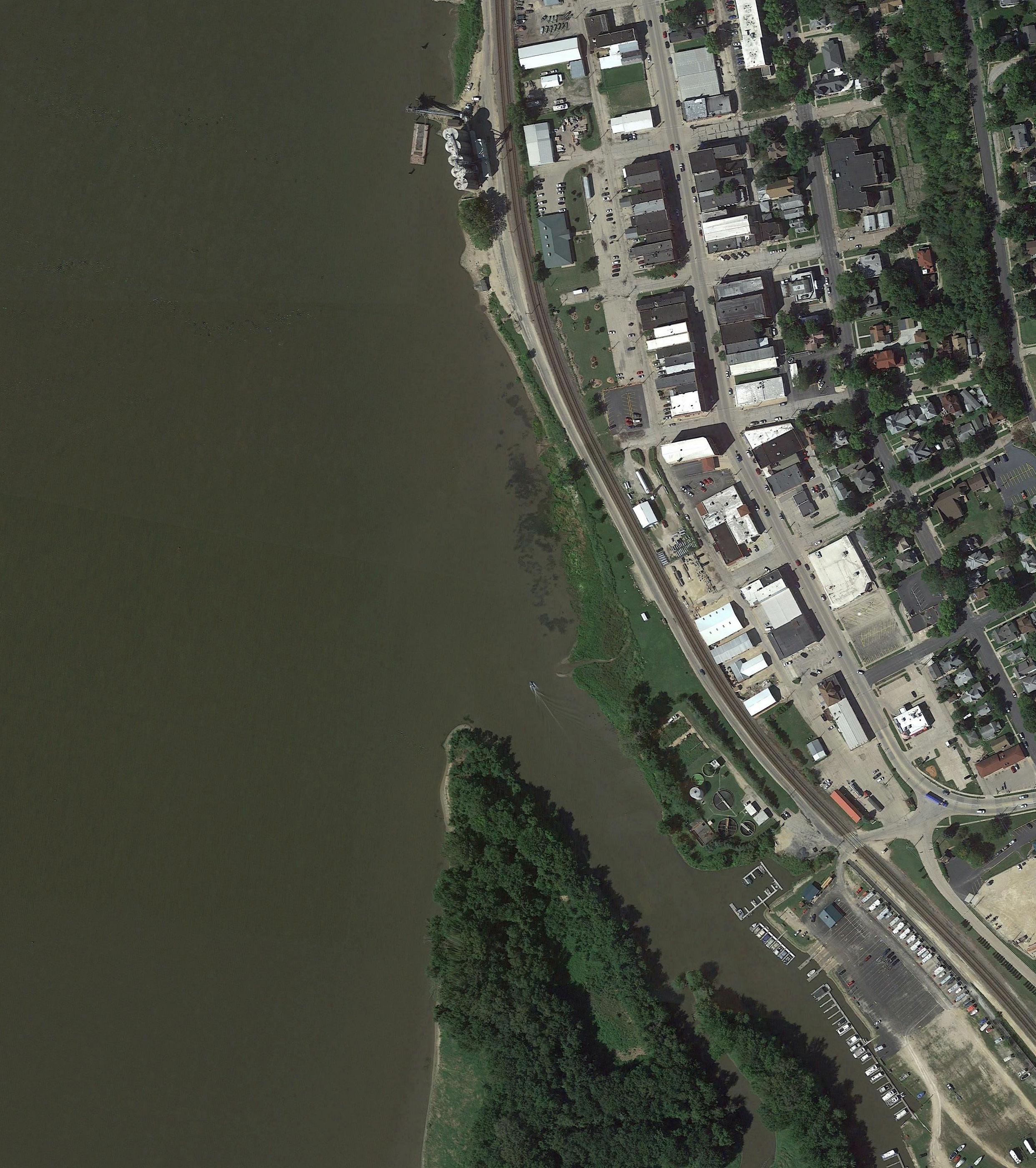


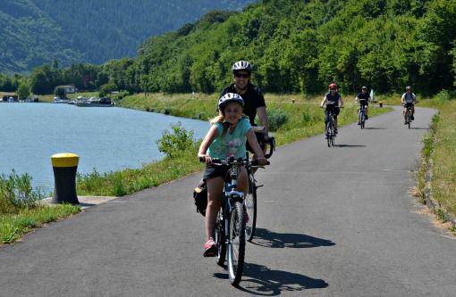
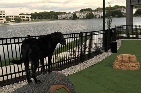
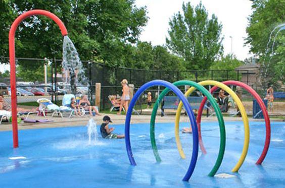
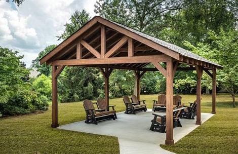
Other Thoughts / Ideas? Tell us Below:

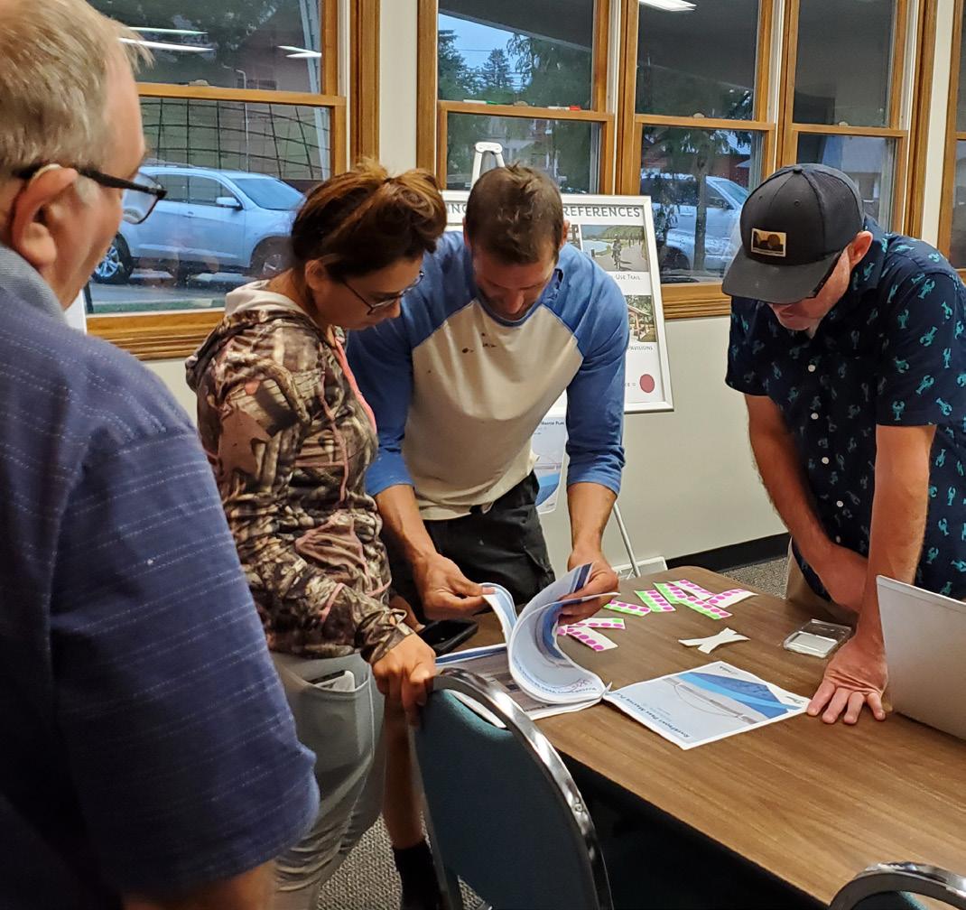
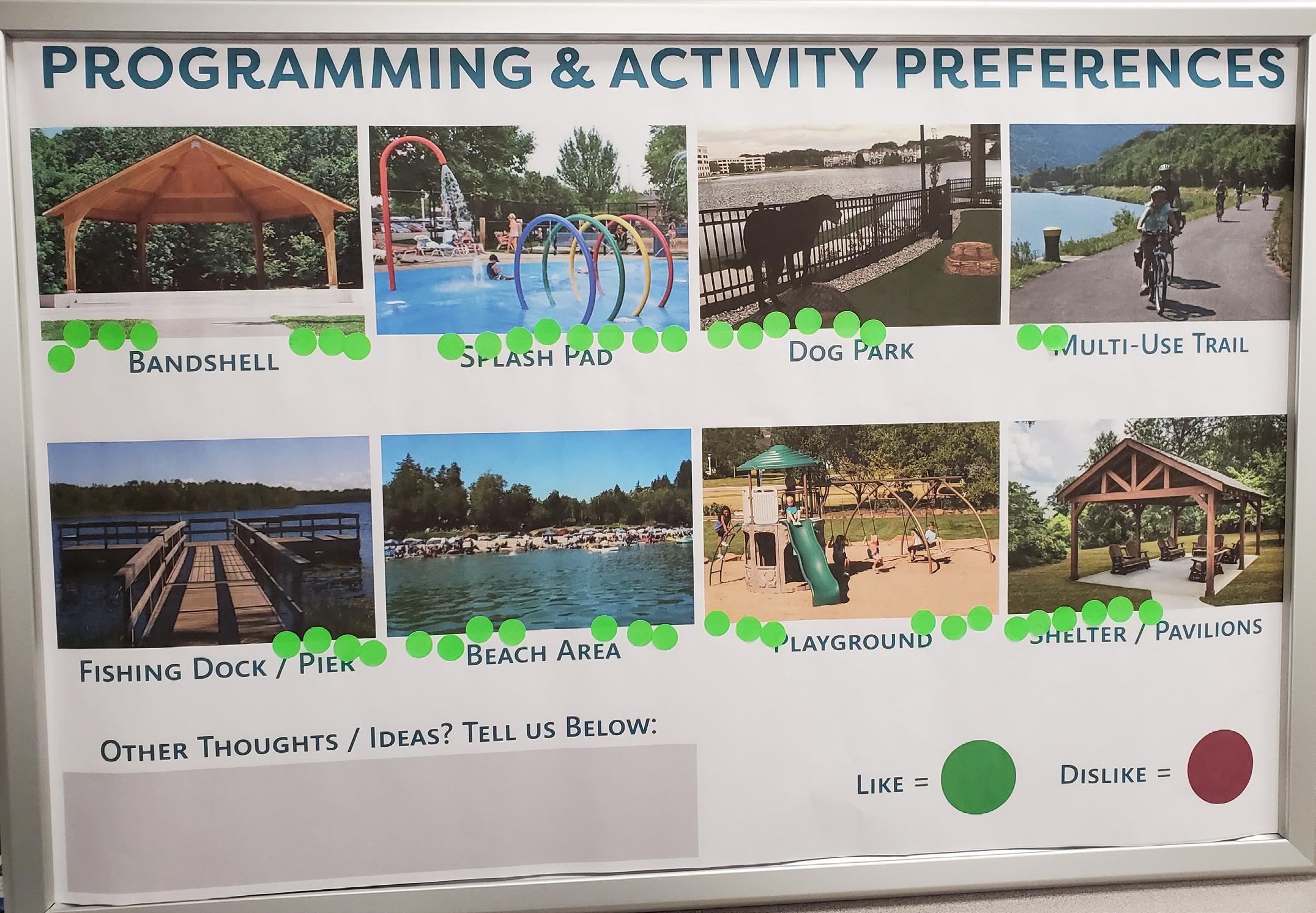
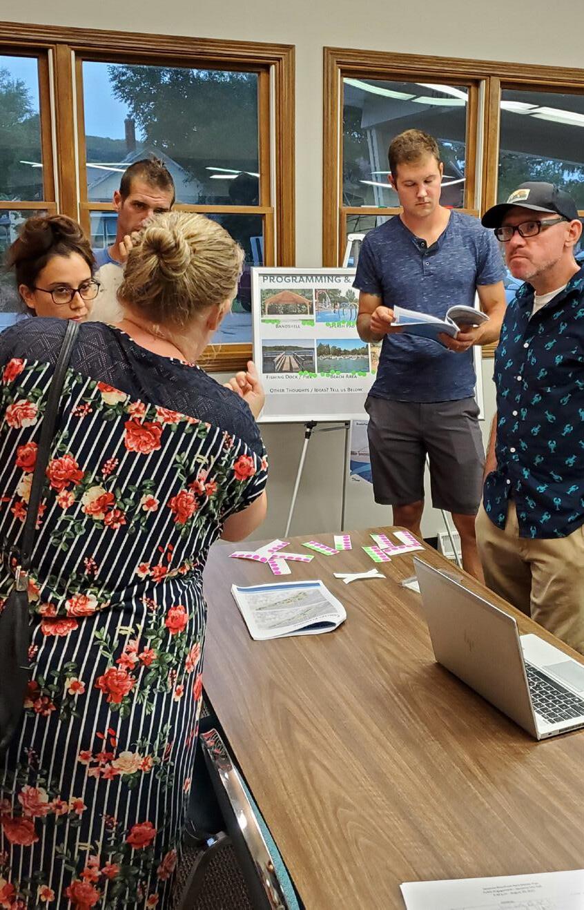
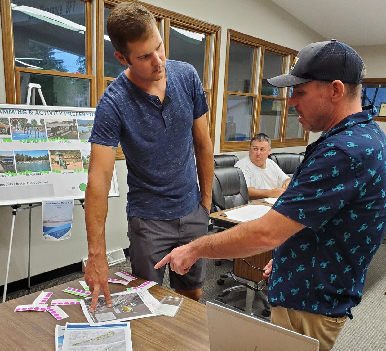
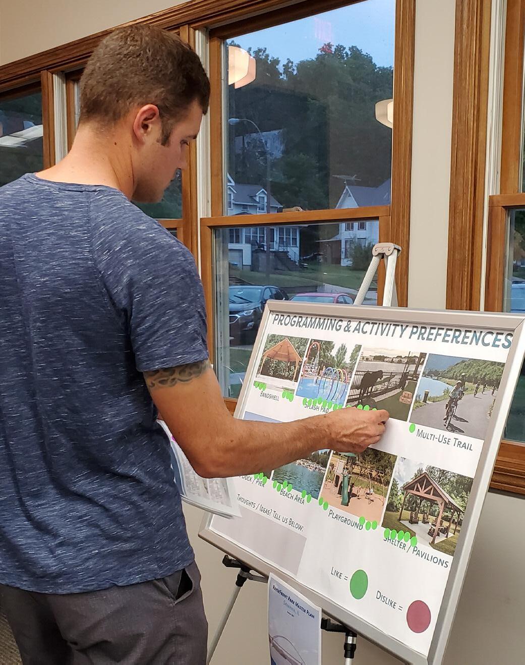
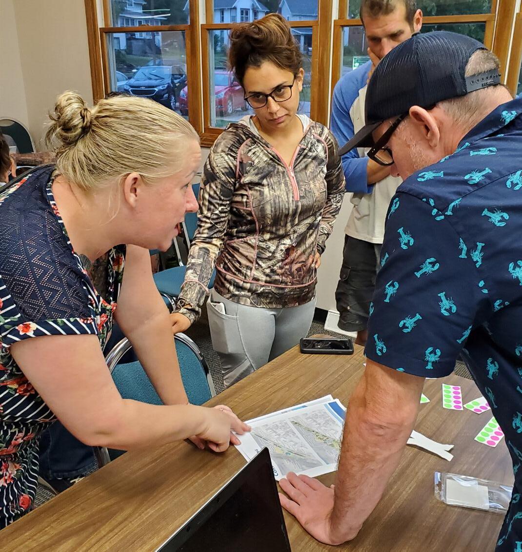
The community of Savanna has a highly valued recreation system. The City understands the need to maintain and improve this system for current and future residents. Successful implementation of this plan is more likely when the recommendations included are attainable and align with the capacity of the City of Savanna. This is to be a collaborative process involving Elected Officials, City Staff, regional partners, stakeholders, and community members.
The primary objectives of the Parks plan is to create a readable document that provides an Plan of current conditions and includes reasonable recommendations for improvement. Through this analysis, and implementation of recommendations, Savanna will be able to host a better parks and trails system for all residents. This Plan was completed with the intent of analyzing the existing conditions of the parks to better develop an equitable and usable concept for any new park area for visitors and current and future residents.
1
Provide a Framework for Short, Mid, and Long-term Improvements and Growth Opportunities for Existing and Future Parks, Open Space and Trails
5
Provide New Opportunities to Increase and Broaden Park Users
Improve Inclusiveness of Equipment Within Savanna Parks and Their Amenities
Ensure that the New Development’s Recreation Needs are Serviced
2 3 4 Connect Savanna Trails Within the Community and Surrounding Areas
There is a portion of the Riverfront that could serve as a Community Park. Below is a suggested process for the City to follow if a new park is going to be added to service the residents and visitors of Savanna.
The following action plan for implementation serves as guide to help the The City of Savanna and community leaders prioritize opportunities and address improvements to recreation within the City of Savanna and the surrounding area. The desired vision for Savanna cannot be created overnight. However, by incrementally implementing the recommendations within this plan, Savanna can achieve the desired outcomes set forth in this Parks and Trails Plan.
There are six broad funding sources available to help offset costs to complete the projects listed in this Plan, as described below.
It is assumed that some general or tax increment municipal funds/borrowing will be required to assist with the completion of projects or as a matching source for state or federal grants (e.g.wayfinding, signage, or park land acquisition).
Particular projects that benefit individual properties (e.g. sidewalk/trail installations) could be funded through special Plans whereby the City recoups initial design and construction costs through increased real estate taxes on those properties for a set period of time.
Some of the wayfinding projects could be partially or fully funded through private donations or public fundraising.
There are many different state or federal grants that may be able to offset the costs of some of the identified projects. Only those programs most likely to award funding to Savanna are listed.
There are a growing number of grants from private businesses, philanthropic entities and organizations, like Community Foundations, that are available to help finance recreational improvements. A current list of organizations and foundations that have provided community beautification and recreation grant funding in Carroll County, is located in Appendix B of this Plan.
https://www2.illinois.gov/dnr/grants/Pages/PARC-Grant.aspx
The Park and Recreational Facility Construction Act (PARC) provides grants to eligible local governments for park and recreation unit construction projects and land acquisition.
PARC grants are available to units of local government that are authorized by Illinois law to expend public funds for the acquisition and development of land for public indoor/outdoor park, recreation, or conservation purposes are eligible to apply for funding assistance. School districts are not eligible.
There are now five grantee pre-award requirements statewide per Grant Accountability and Transparency Act (GATA) State Statute 30 ILCS 708/1.
PARC grants must be used for “bondable” or “brick and mortar” projects. Eligible capital expenditures include (but are not limited to) demolition in preparation for recreational development, site preparation and improvements for indoor/outdoor recreation purposes, utility work for indoor/outdoor recreation purposes, reconstruction or improvement of existing buildings or facilities for indoor/outdoor recreation purposes, expansion of buildings/facilities for indoor/outdoor recreation purposes, and new construction of buildings/structures.
Land acquisition projects for public park recreation and conservation purposes include, but are not limited to, acquisition of land for the following: to construct new public indoor/outdoor recreation buildings, structures and facilities; to expand existing public indoor/outdoor recreation buildings, structures and facilities; general park purposes such as regional, community, and neighborhood parks and playfields; frontage on public surface waters for recreation use; open space/conservation purposes to protect floodplains, wetlands, natural areas, wildlife habitat, and unique geologic and biologic features, and additions to such areas.
Please note that the priority of the program is the renovation or construction of indoor recreation facilities since they are not eligible under other IDNR grant programs. PARC Grant covers 75% of capital project cost for most applicants and 90% of capital project cost for Disadvantaged Communities.
https://www2.illinois.gov/dnr/grants/Pages/IllinoisTrailsGrantPrograms.aspx
The Illinois Department of Natural Resources (IDNR) administers five (5) grant programs that can provide funding assistance to acquire, develop and, in some cases, maintain trails for a variety of public recreation uses. These programs can also restore areas damaged by unauthorized trail use activity.
The programs are:
Bike Path Program
Local Government Snowmobile Program
Snowmobile Trail Establishment Fund (STEF) Program
Off-Highway Vehicle (OHV) Program
Federal Recreational Trails Program (RTP)
These programs provide grant assistance on a wide variety of trail related projects in the state. Each program operates on an annual recurring grant cycle with funds awarded on the basis of a review and prioritization of written applications submitted to the IDNR. Projects are evaluated according to established trail objectives and priorities. The director of the IDNR, in consultation with staff and the Illinois Natural Resources Advisory Board, the Illinois Greenways & Trails Council and the Illinois Off-Highway Vehicle Trails Advisory Board, as appropriate, has sole authority and responsibility for approving grants through these programs.
Funds awarded and disbursed under these programs are on a reimbursement basis. This means that once a project proposal is submitted to the IDNR and approved for grant funding, the project sponsor is responsible for successfully completing the project and initially financing the entire project cost. Actual disbursement of grant funds to the project sponsor is made after the approved project is satisfactorily completed and a final project billing statement, verifying project costs, is submitted to the IDNR for reimbursement. Forty-five (45) days should be allowed after submittal of an acceptable billing request to the IDNR for receipt of actual grant reimbursement payment.
The Illinois Trails Grant Programs manual provides information on program regulations and procedures for making application to the IDNR for funding consideration under any of these programs.
Step 1
Project Kickoff & Existing Conditions
- Existing Conditions Analysis
- SWOT Analysis
- Initial Concept Planning
Step 2
Community Engagement
- Input Workshop
- Public Engagement Promotion
Step 3
RiverFront Parks Planning Document
- Draft Vision, Goals, Concepts and Action Plan Development
- Project Team Meeting
- Finalize Parks Plan
- City Council Review and Consideration
ADA Parking
Splash Pad
Bago Courts
Fishing Area

ADA Parking
Playground
Restrooms
ADA Parking
Bandshell
Ref inement s : "Co mmunit y and ec o no mic develo pment , Spo rt s and rec reat io n, Carro ll Co unt y (I llino is , Unit ed St at es )"


