A special thanks to the following individuals and organizations who helped support the development of this plan:
NC State Parks Leadership Team:
Brian Strong, Director
Dave Head, Deputy Director of Planning and Recreation Resources
Eric Estes, Deputy Director of Administration
Kathy Capps Deputy Director of Operations
Christy Rosas Park Planner
Kat Deutsch, State Trails Planner
Sean McElhone, Regional Superintendent (West District)
Tyson Phillips, Superintendent (Pisgah View State Park)
Sharon Becker, Mountain Region Biologist
John Amoroso, GIS Specialist
Michelle Ferree, Land Protection Specialist
Amanda Smithson, Trails Program Manager
Kris Anne Bonifacio, Public Information Officer
Organizations:
Friends of
(NCHPO)
(NCNHP)
Southern Appalachian Highlands Conservancy (SAHC)
Tribal Historic Preservation Office (THPO)
Individuals:
The Cogburn Family
Harold “Spud” McCarson
Stagg Newman
Shane Prestwood, Fire Chief of the Upper Hominy Valley Fire Department


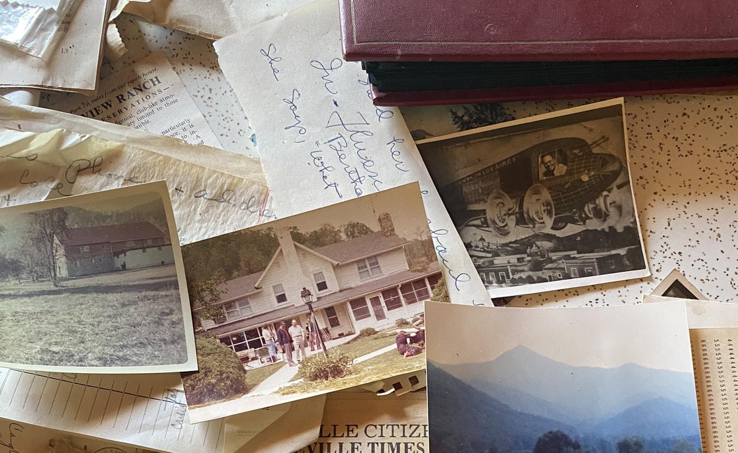
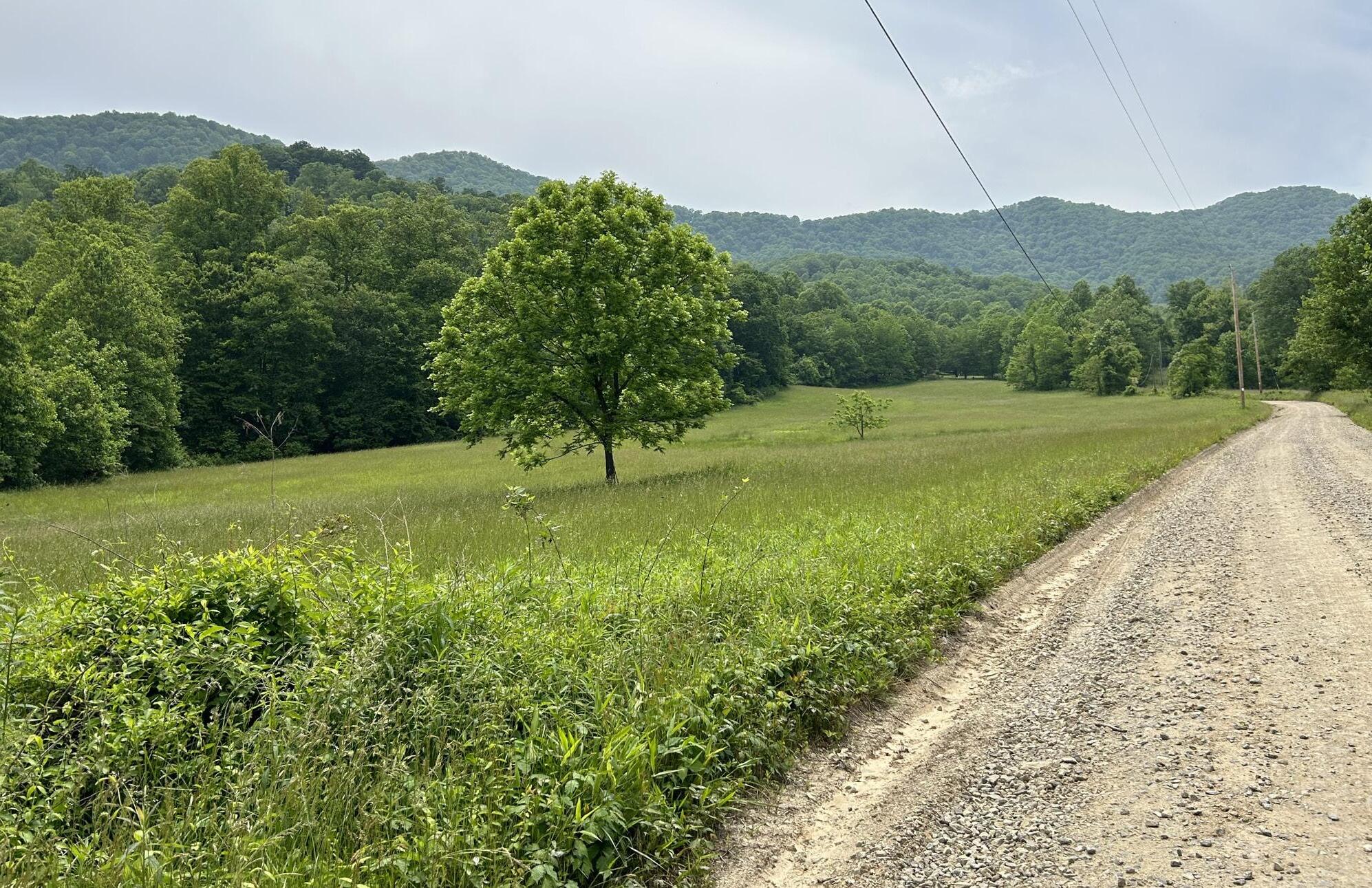
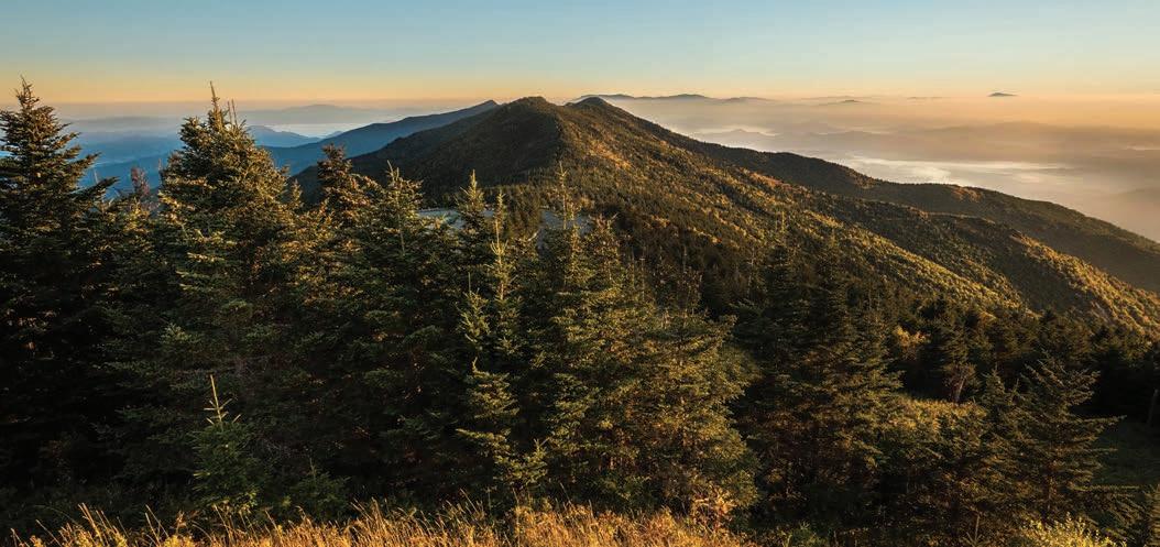
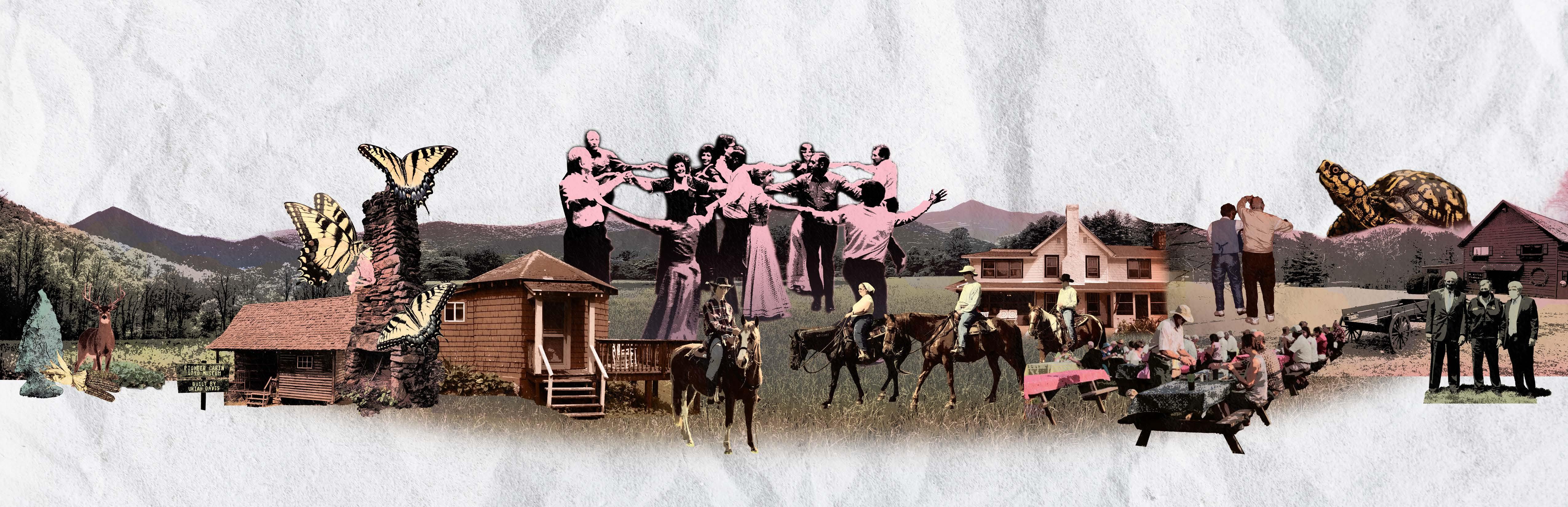
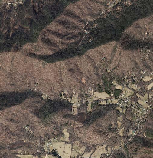
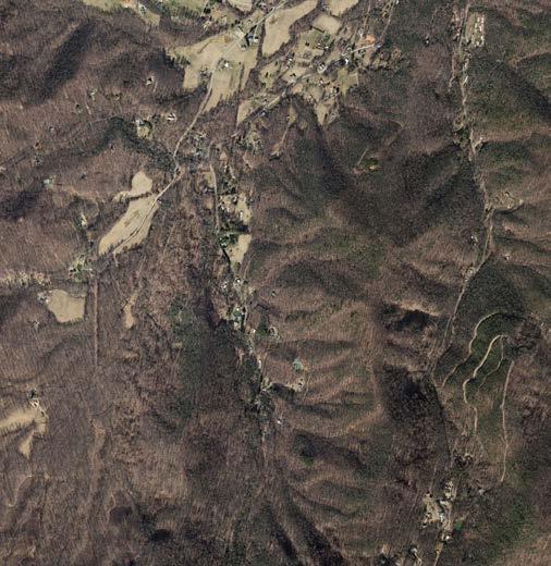
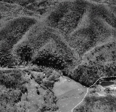
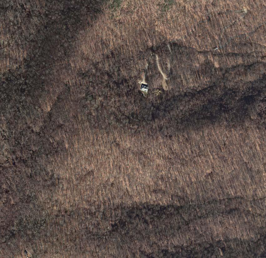
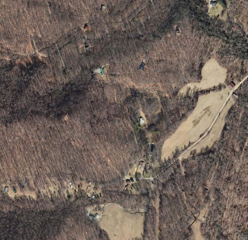
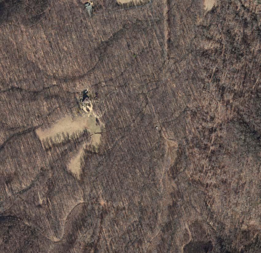
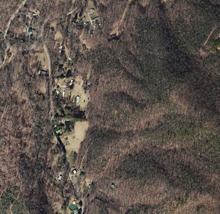
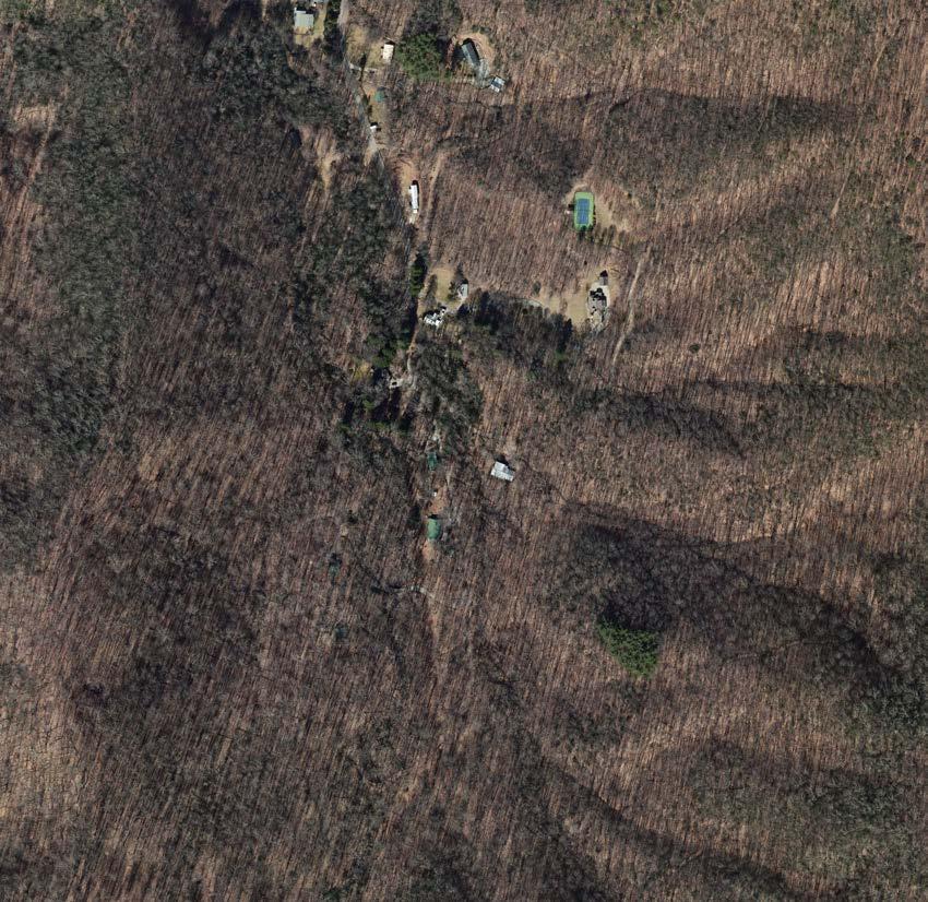
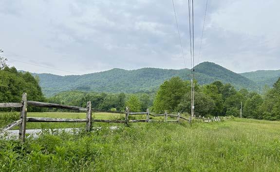
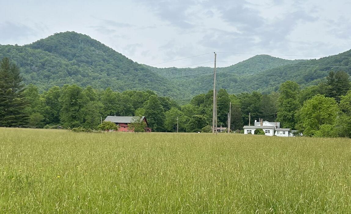
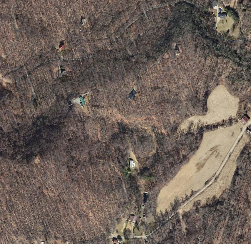
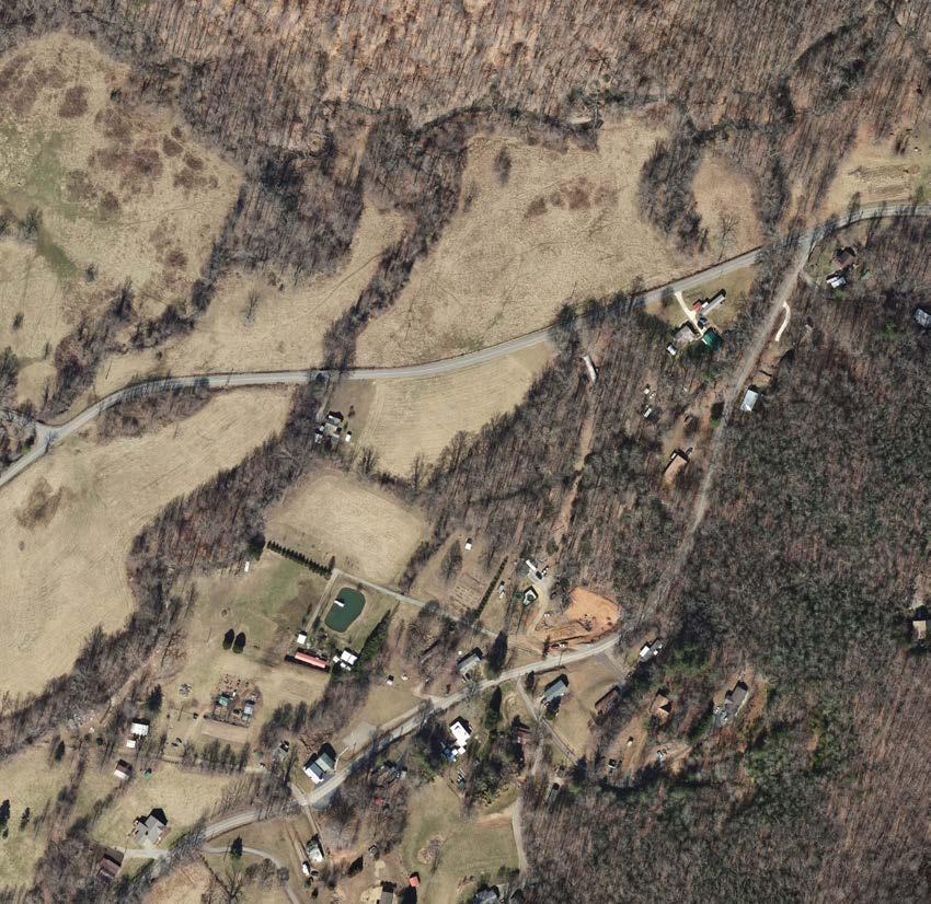
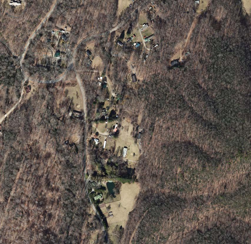
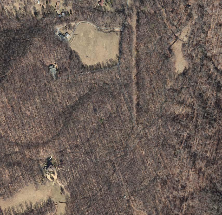
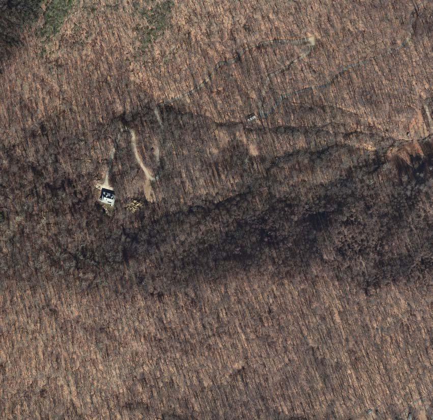
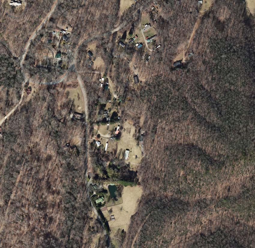
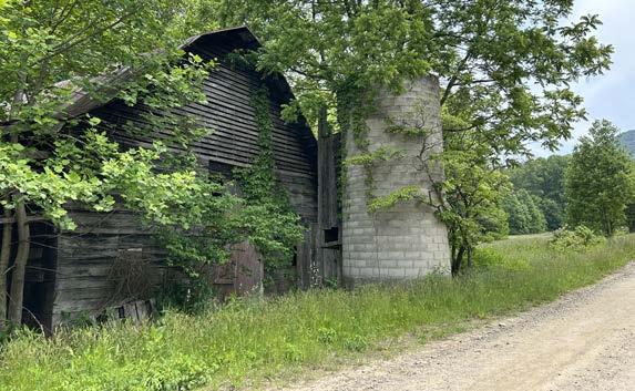
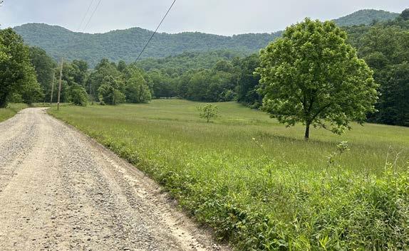
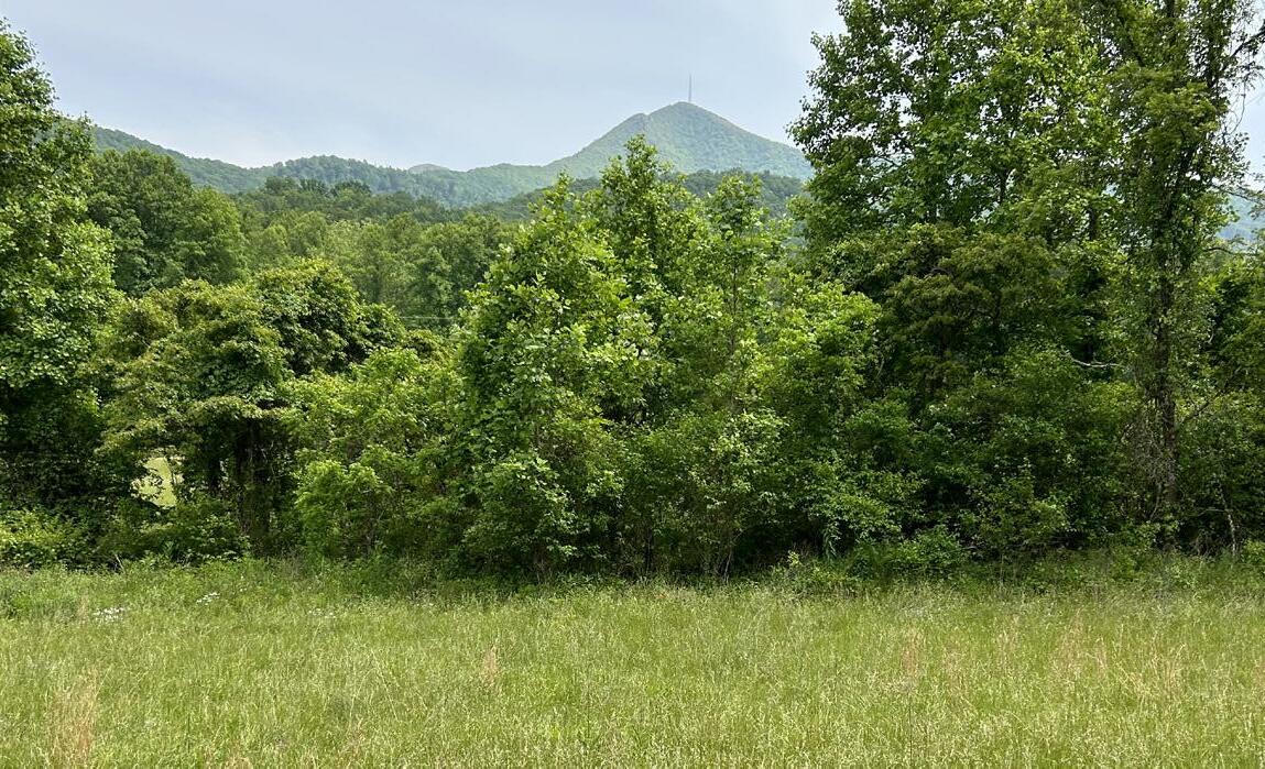
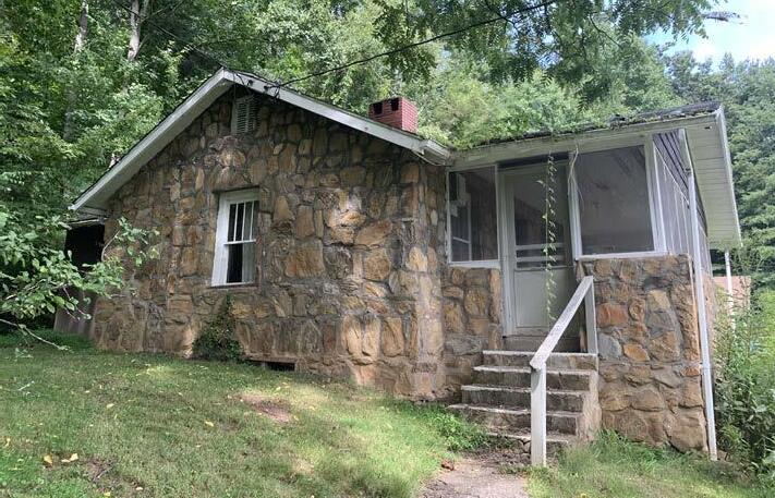
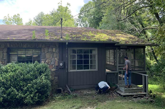
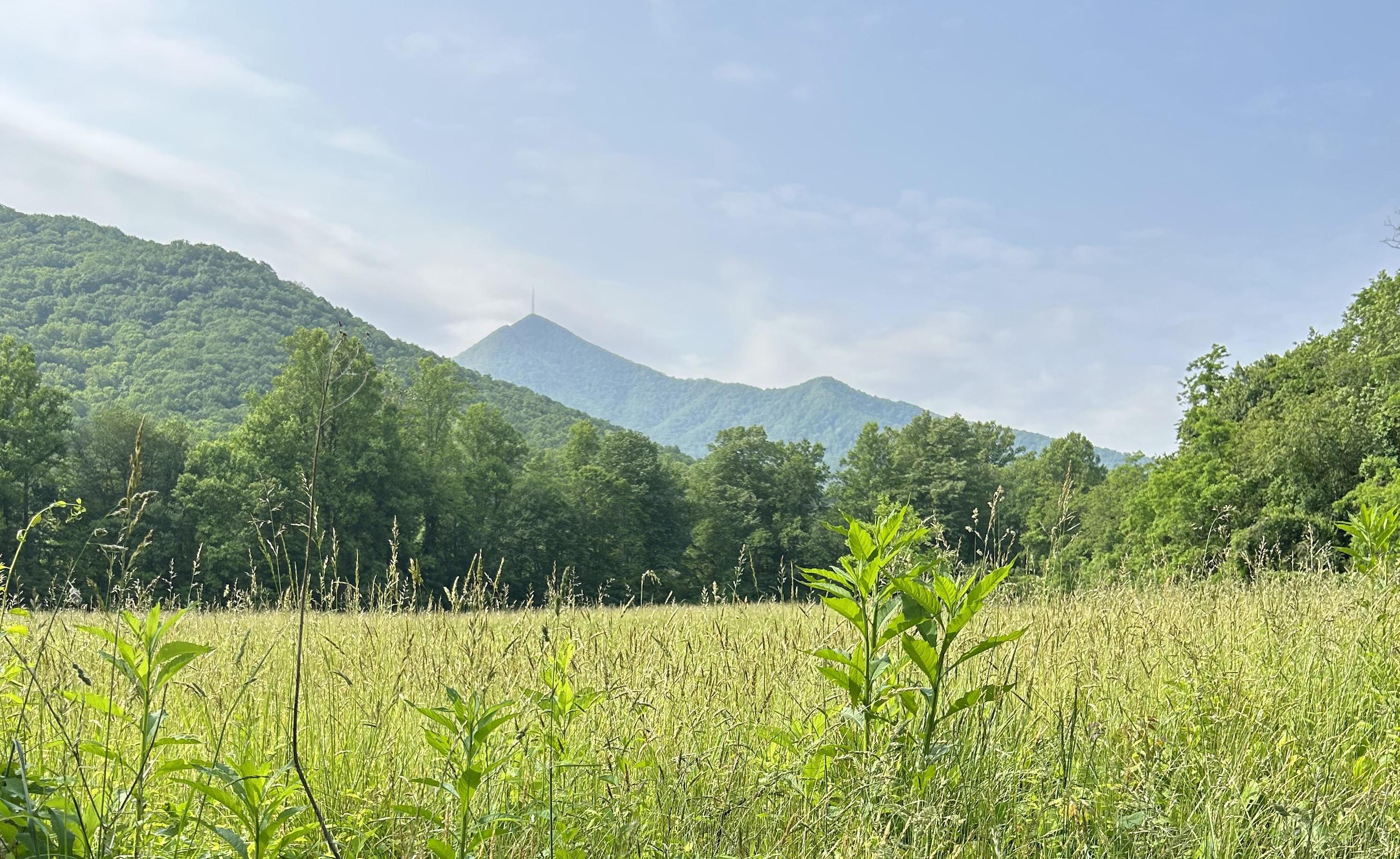
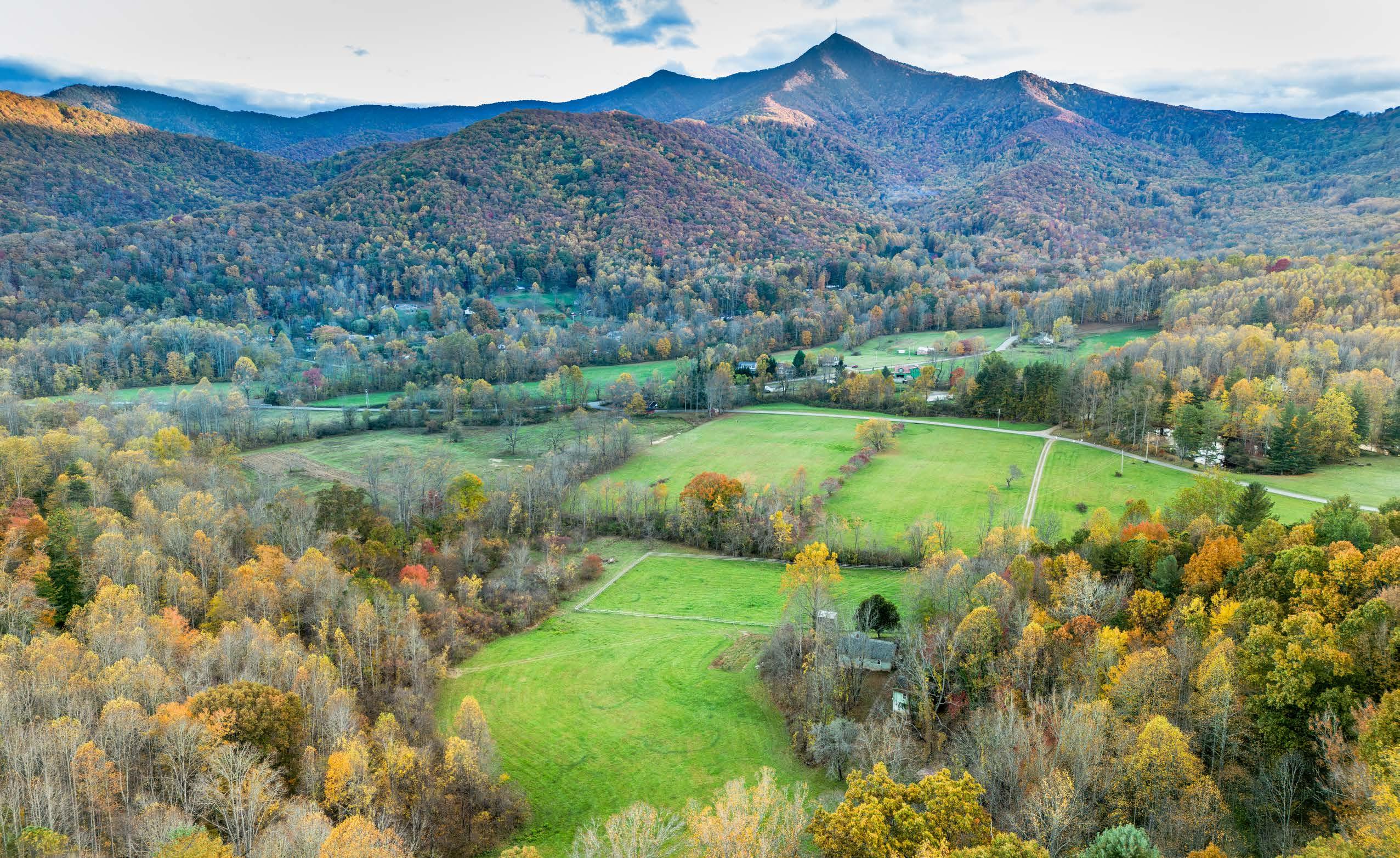
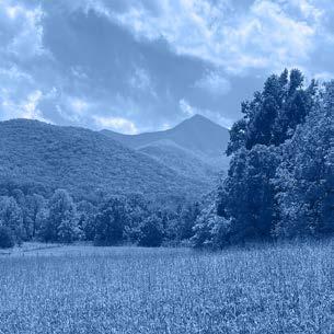
Located in the Hominy Valley near Asheville, Pisgah View State Park contains over 1,500 acres of land with an elaborate story to tell. Throughout the centuries, this area has been home to a wide variety of inhabitants, and currently recounts this history through over 40 remaining structures, wide open pastures, deep forests, and nearly 50,000 linear feet of cascading trout streams all within the theatrical vista of Mount Pisgah. This mountain, originally known as Elseetoss Mountain by the Cherokee Indians, has been a witness to the dramatic and seldom known stories of the valley. Spanning from the original American Indian settlers who prospered along the fertile floodplains of Hominy Creek, to decades of hospitality at Pisgah View Ranch, to the present-day repurposing of the property into public land, this mountain has observed every stage of the land now known as Pisgah View State Park.
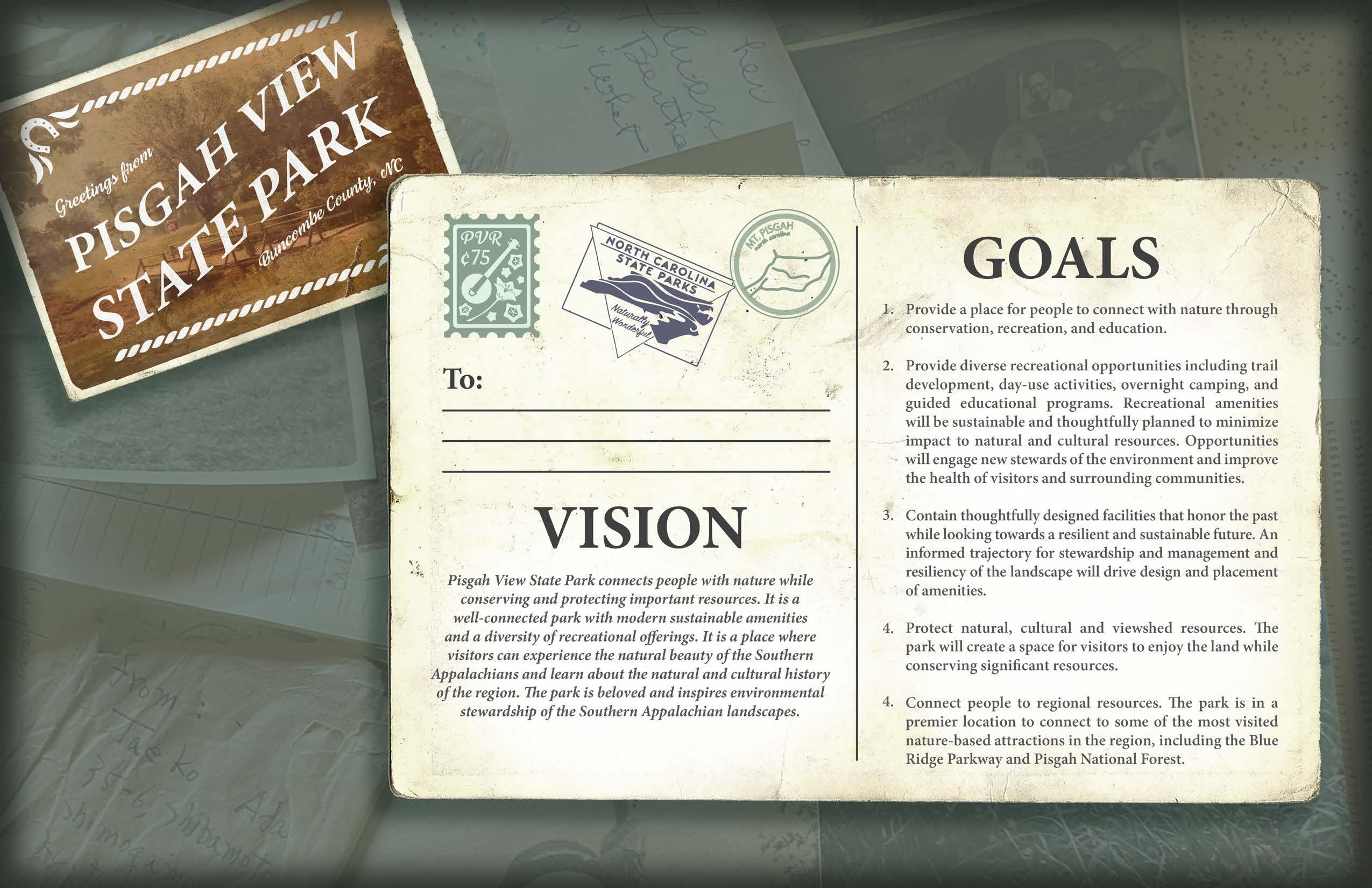
Through this plan, visitors to the park will experience and come to understand the rich history of this landscape. It will convey the sovereignty and land ethic of the five federally recognized tribes with ancestral ties to Buncombe County. These tribes are the Catawba Indian Nation, the Cherokee Nation, the Eastern Band of Cherokee Indians, the Muscogee (Creek) Nation, and the United Keetoowah Band of Cherokee Indians. It will also recount the transition to and heritage of Pisgah View Ranch. Just as the land has been a place of gathering, dancing, and exploration for centuries, these traditions will be honored in the establishment of the new state park. This plan carefully weaves together resource conservation and resiliency opportunities, public recreation, and education. Through this planning effort, a 20-year vision has been set forth to guide the future of this unique and storied landscape.
A detailed natural resource, historical, and asset evaluation was completed to best understand the existing conditions of the site. Opportunities and constraints were then identified to shape how the park relates to the landscape and its surrounding communities. This analysis resulted in an informed plan that includes the development of recreational amenities, educational opportunities, conservation and resiliency values, phasing recommendations, and subsequent cost estimates for implementation. This plan identifies and recommends providing equitable access to park amenities, scenic views, areas of historical documentation, and activities contained within the park. This plan was developed in tandem with North Carolina State Parks Leadership staff, through the guidance of local stakeholder groups, and input from the public. Pisgah View State Park will be the first state park solely within Buncombe County.
(A)
& CENTRAL CORE
(B) EQUESTRIAN DAY-USE AREA. A new barn, trailer parking and corral will provide equestrian users access to the park and backcountry trail system.
320-250 Million Years Ago
Ancient continents collide together, forming the ancestral Appalachian Mountain Escarpment. Mt. Pisgah is a major peak within the Great Balsam Mountains, a subrange of the Blue Ridge Mountains, which in turn are a part of the Appalachian Mountains.
40,000 B.C.E.
Ancestors to Indigenous people of the area migrate to North America and begin to settle in these mountains.
8,000 B.C.E.
Indigenous people begin to form close, regionally specific connections to the natural environment, learning what to gather and hunt based on what was endemic to an area. They travel nomadically, living cyclically with the land.
Hernando De Soto and an expedition team arrive in the area. They explore what would become western North Carolina, including the French Broad River valley. The region’s first recorded contact occurs between Indigenous tribes and European explorers.
George Washington Vanderbilt II, owner of Biltmore Estate, acquires land near Mt. Pisgah, including the site where hewould build his hunting retreat, Buck Spring Lodge.
Ruby Davis, a descendant of Uriah Davis, is born. Ruby Davis Cogburn grows with her mother running a boarding house on the Davis family property.
1,000
Woodland-culture American Indians settle in the Hominy Creek valley along the nutrient-rich riverine floodplains. Here, they have a mixed subsistence lifestyle of hunting, gathering and some agriculture. During this era, refined tools such as pottery, bows and arrows, and crafts emerge.
European colonists establish trading lines with American Indians. The two groups both skirmish and collaborate. As settlements grow, Europeans and government officials forcibly take land from the tribes. Before the arrival of the first permanent European settlers, along with the Africans they enslaved, more than 100,000 American Indians were living in what is now North Carolina. By 1800, that number has fallen to about 17,000.
After land cessions force the Cherokees from their land, the state of North Carolina sell their newly acquired lands through a system known as land grants. Uriah Davis begins to acquire various parcels of land near Hominy Creek. This includes what will become Pisgah View Ranch.
Hardy Cogburn, Sr. permits Vanderbilt’s forester, Carl Schenck, to build a road across his property to allow vehicular access to Buck Spring Lodge. Cogburn builds a toll booth, with which he charges Vanderbilt and other visitors $0.75 to travel up the path. This toll booth is later moved to the Pisgah View Ranch property.
In 1941, Ruby and her husband, Chester Cogburn, from Haywood County open the Pisgah View Ranch to the public, providing access to entertainment, culture and the natural environment within the Mt. Pisgah area.
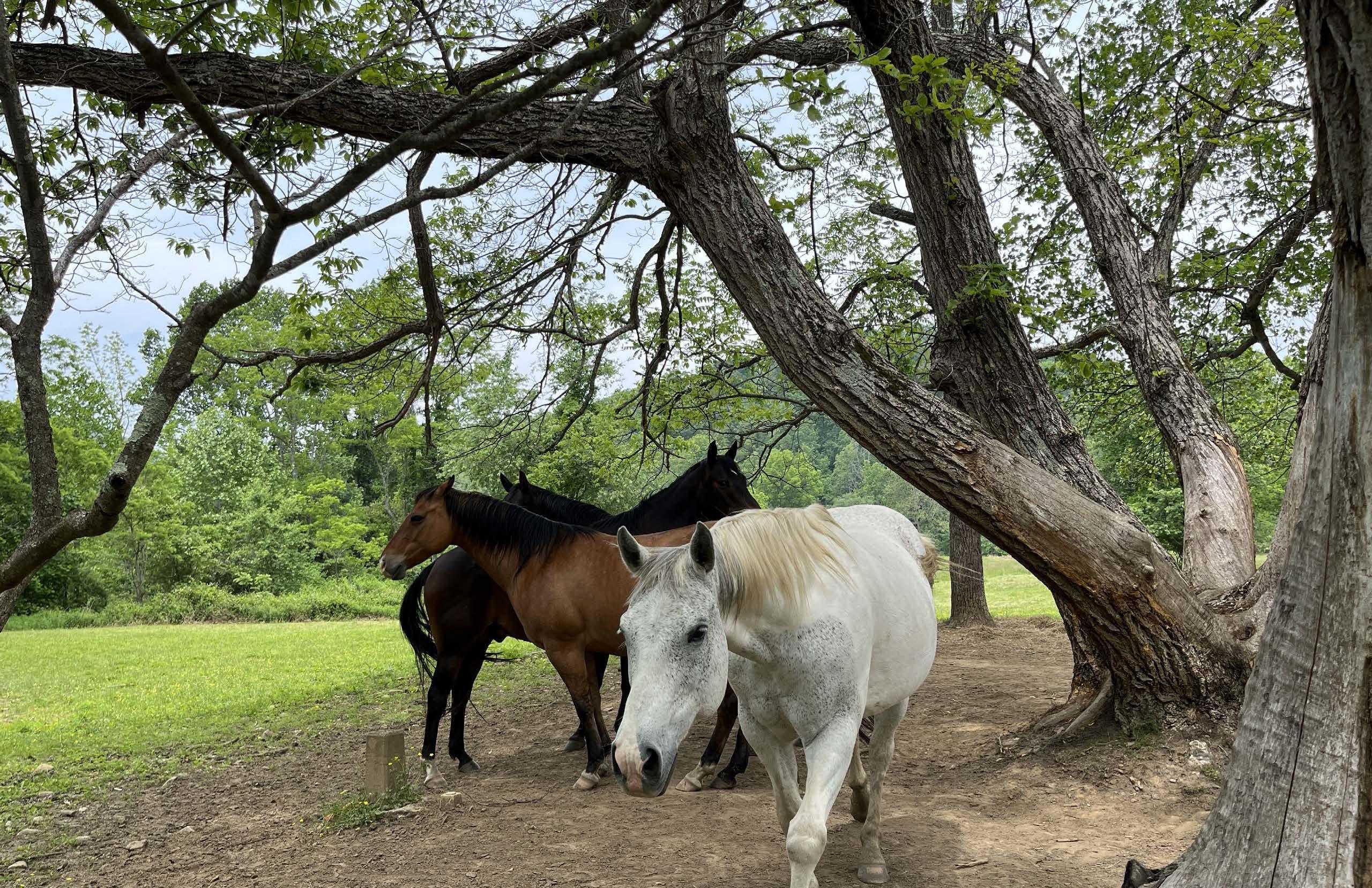
During its operation, the Ranch offers a wide range of activities and amenities, including horseback riding, swimming pools (including one that was springfed), hiking trails, tennis courts, shuffleboard, trout and bass fishing, a pioneer museum, a nature room showcasing native animals, and an on-site naturalist.
The barn serves as a central hub for culture and community, hosting various events and activities, including the standout Pisgah View Ranch Dancers. This group, comprising members from the DavisCogburn family and the wider community, regularly gather there to practice their clogging and square dancing routines. They showcase their talents at heritage events, televised shows, and dance competitions. Through barn dancing, both locals and visitors have the opportunity to immerse themselves in the rich history and culture of the area.
Pisgah View Ranch’s main claim to fame is its delightful combination of food and nightly entertainment. The staff prepare hearty ranch meals, with the fried chicken being a popular favorite. Visitors have the option to dine in the historic ranch home or enjoy massive picnics on the lush lawns, offering them an authentic experience of a western NC supper.
Logging is conducted on the Ranch to create extra revenue and maintain horse riding routes.
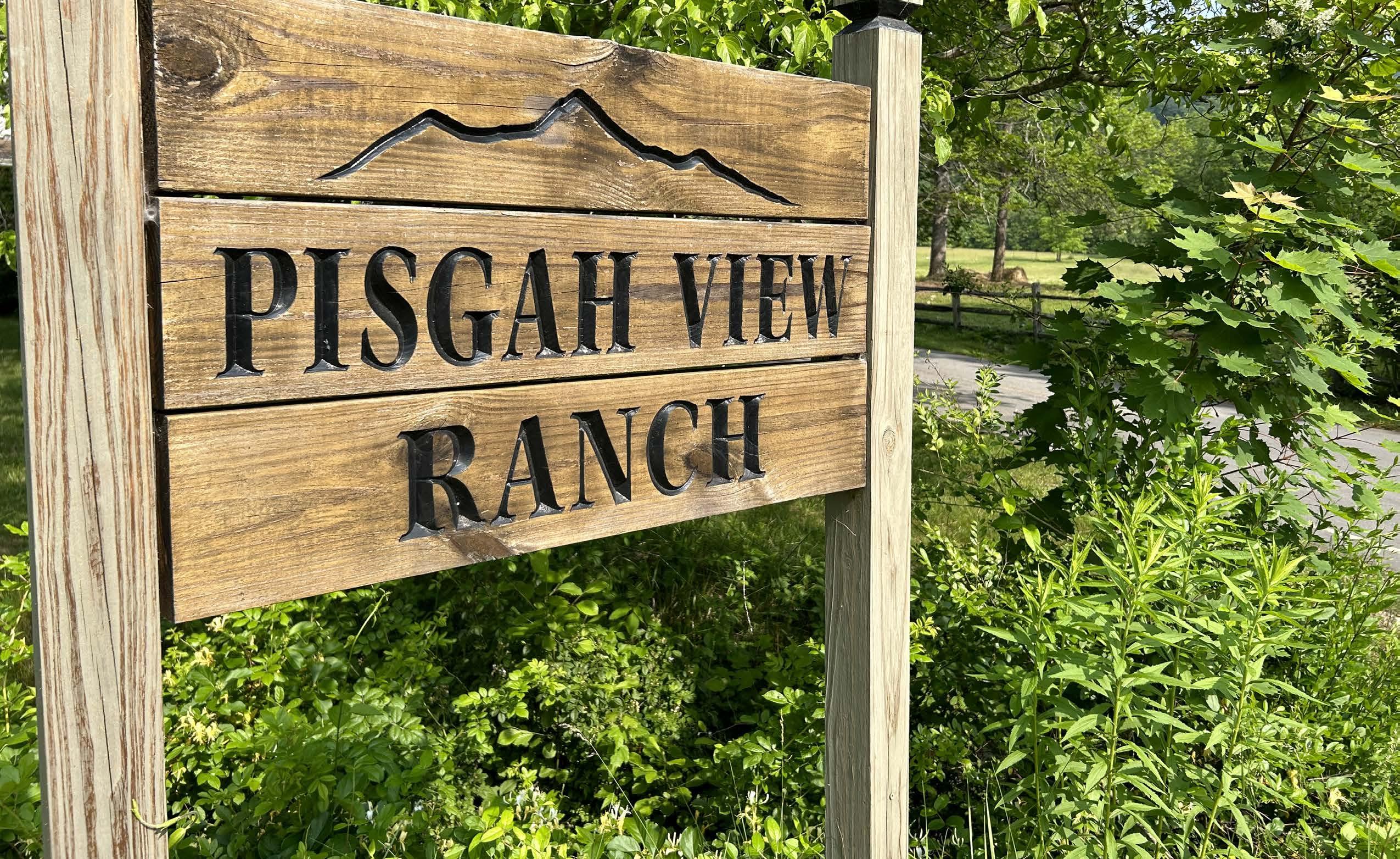
Governor Roy Cooper signs a bill designating Pisgah View Ranch to be the next state park. This creates North Carolina’s 36th and Buncombe County’s first State Park.
Pisgah View Ranch is listed for sale by the descendants of Ruby and Chester Cogburn. Conservation efforts begin regarding preserving the property.
After almost 80 years of operations, the Pisgah View Ranch closes due to the COVID-19 pandemic.
Local and state entities along with passionate community members are working hard to preserve the ecology, culture, and charm of the ranch to create what will be Pisgah View State Park.

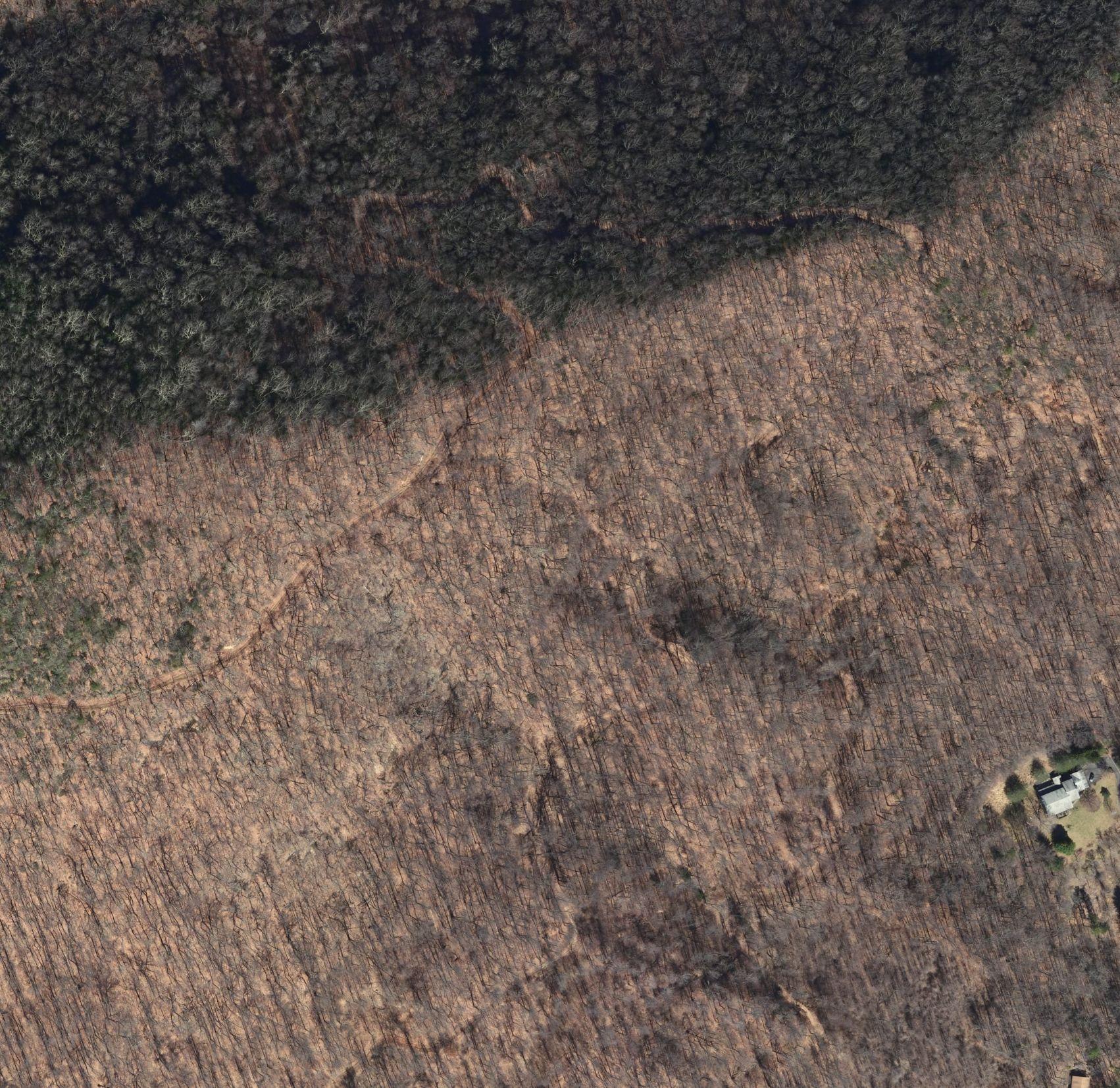
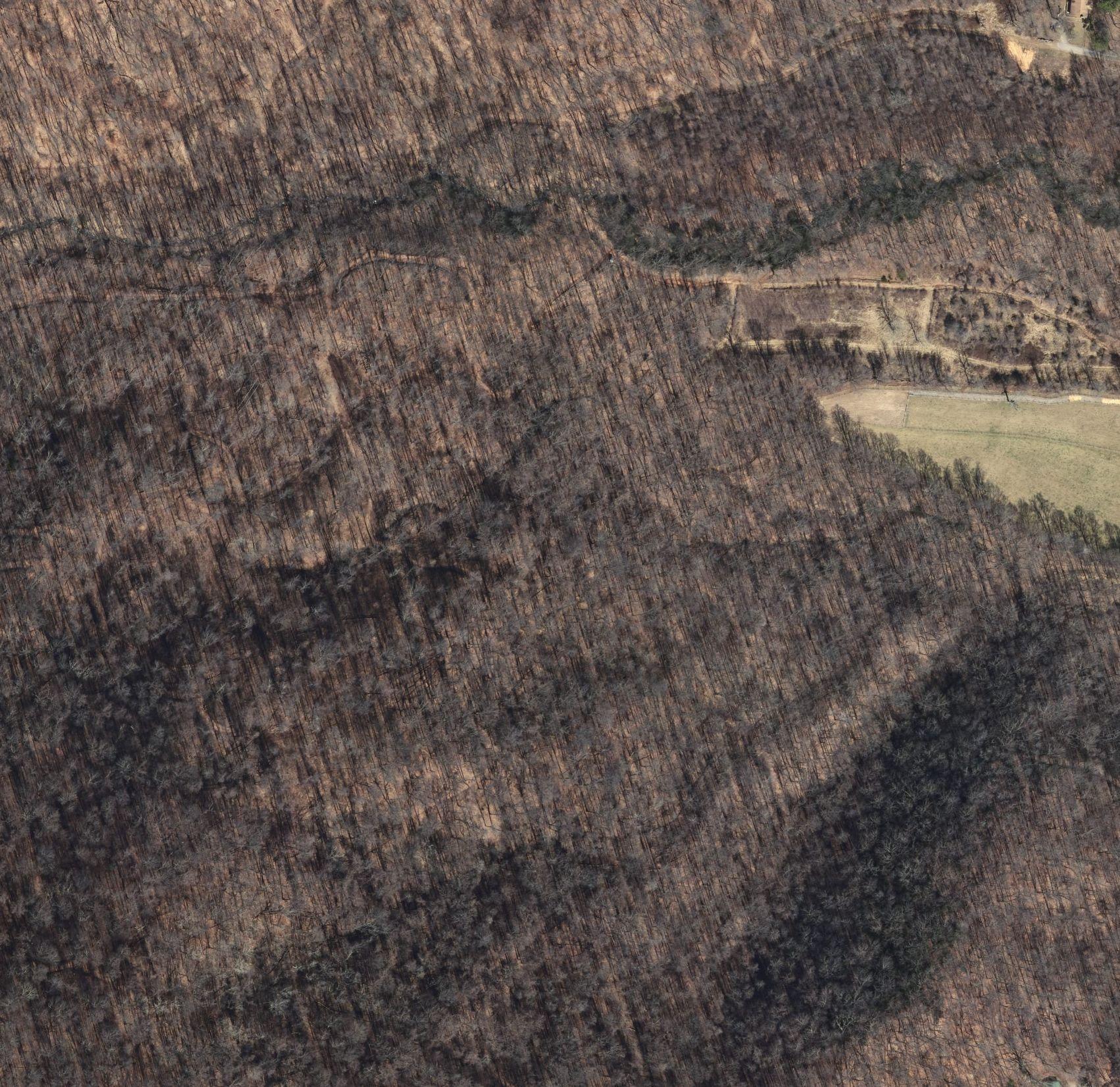
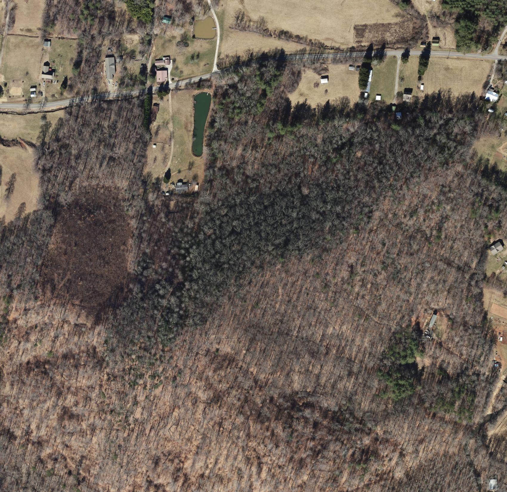
The process for Master Planning begins with a thorough understanding of what exists at the site. Initially, existing data was collected on the Pisgah View State Park as was available through research. Next, a detailed site analysis and assessment was done to create a suitability map to understand the range of development opportunities and provide focused study on the most developable areas for the frontcountry while also exploring backcountry opportunities.
In 2023, a team of ecologists, landscape designers, and planners visited the property multiple times to gather targeted data and information on the existing conditions of the property. Multiple facets of the landscape were explored, including a site inventory, points of interest, problem areas, and opportunities for development of the park. The site analysis provided the existing condition of the property as it relates to slopes, soils, and physical features that impact the development potential of the property for park infrastructure.

ABOUT THIS
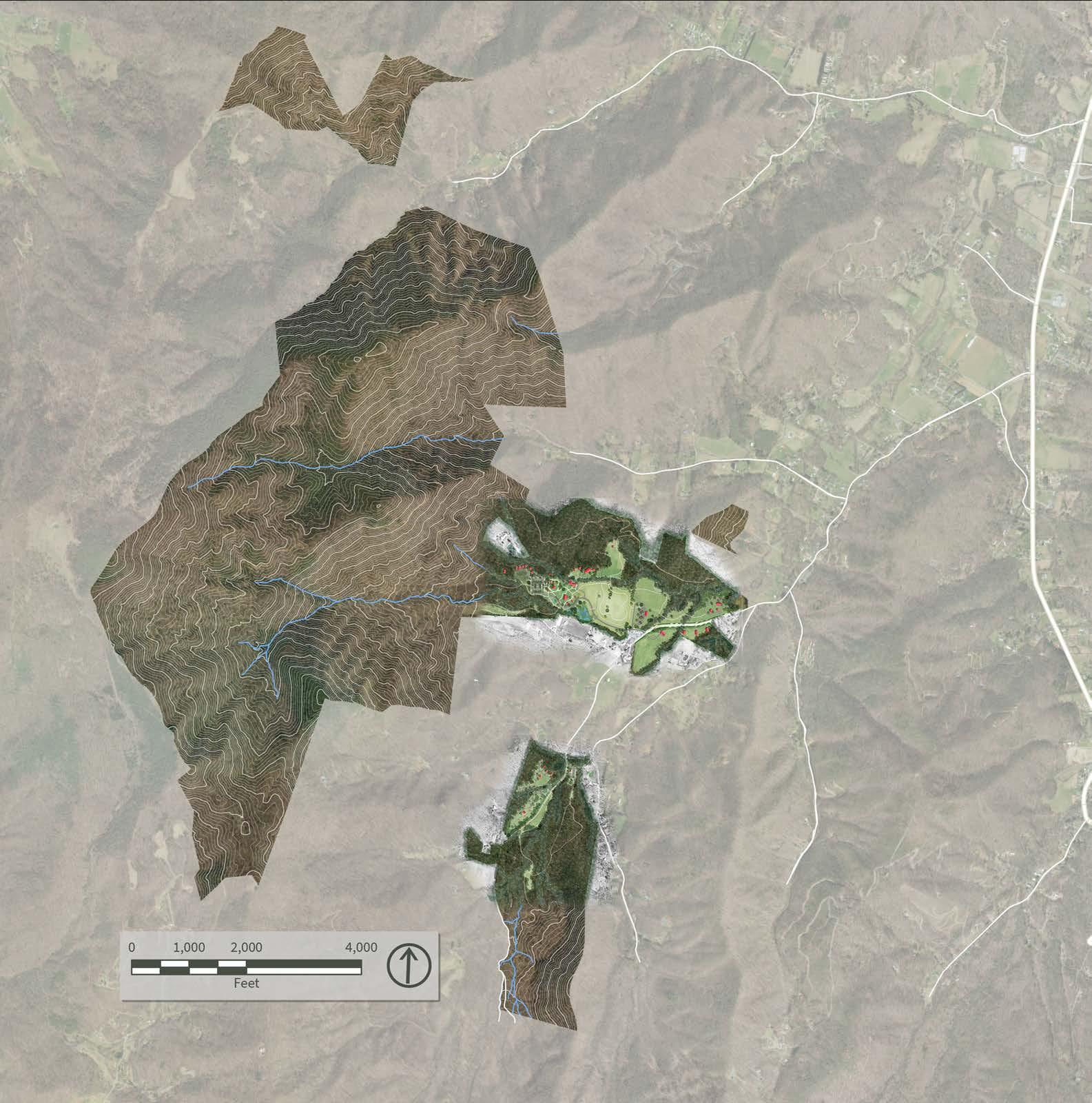
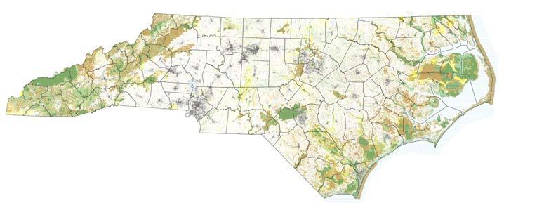
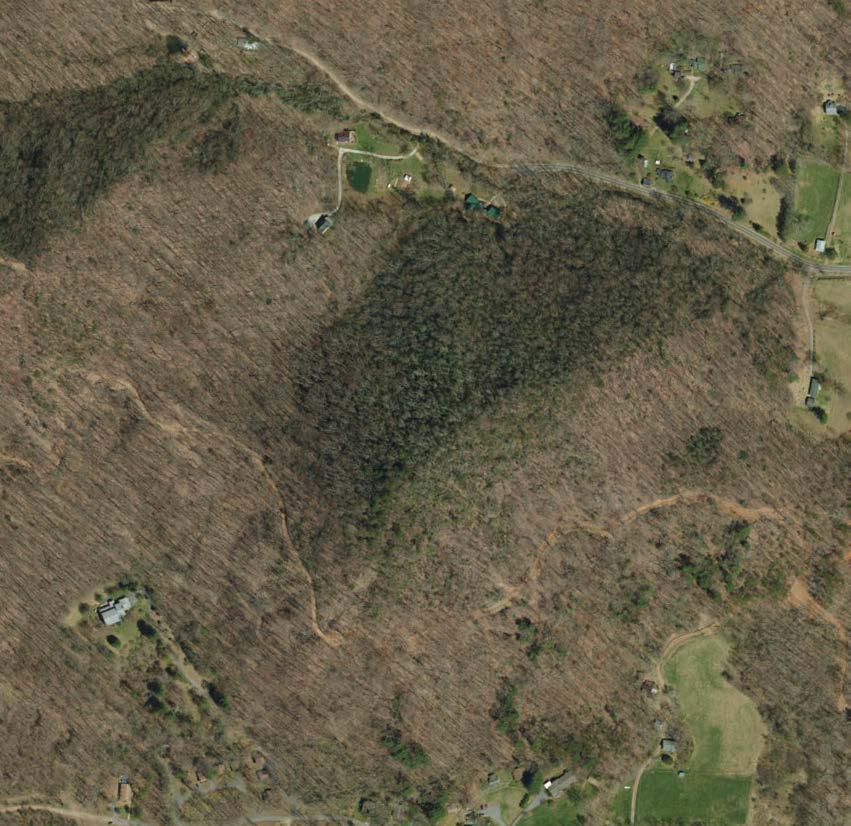
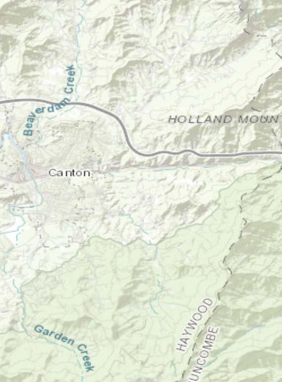
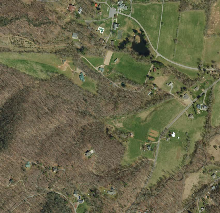
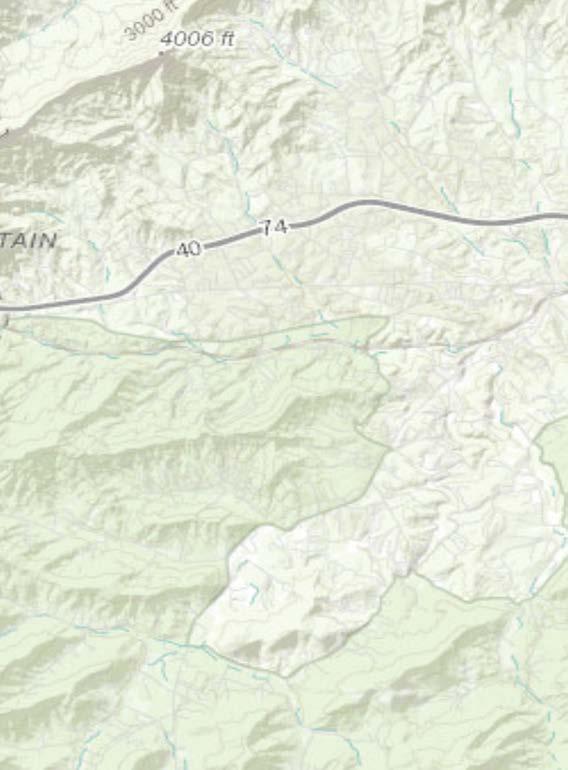
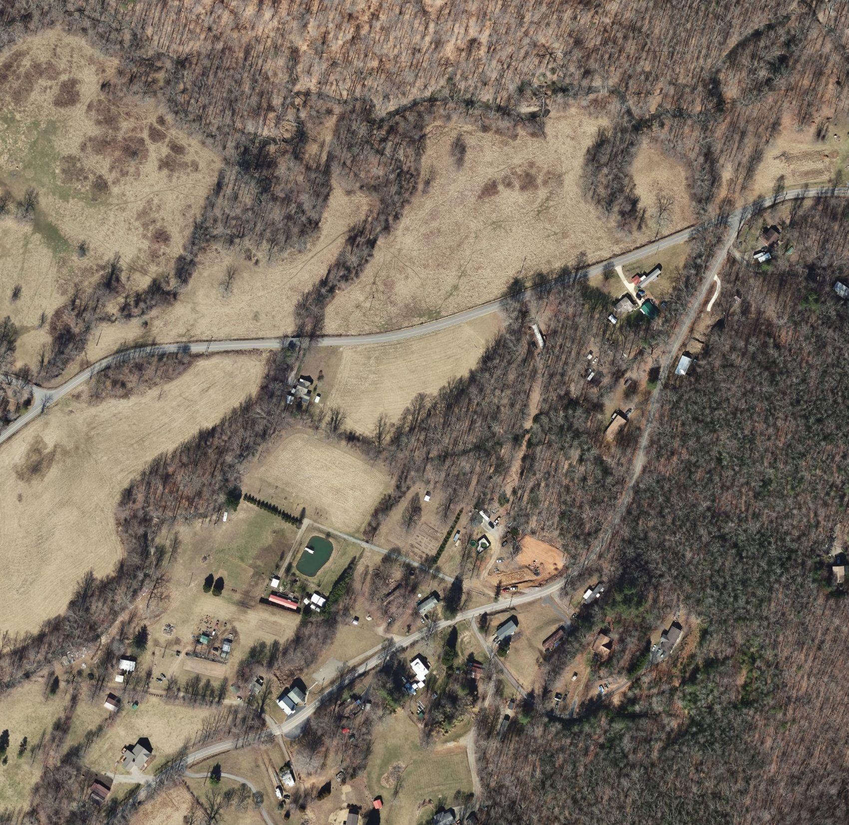
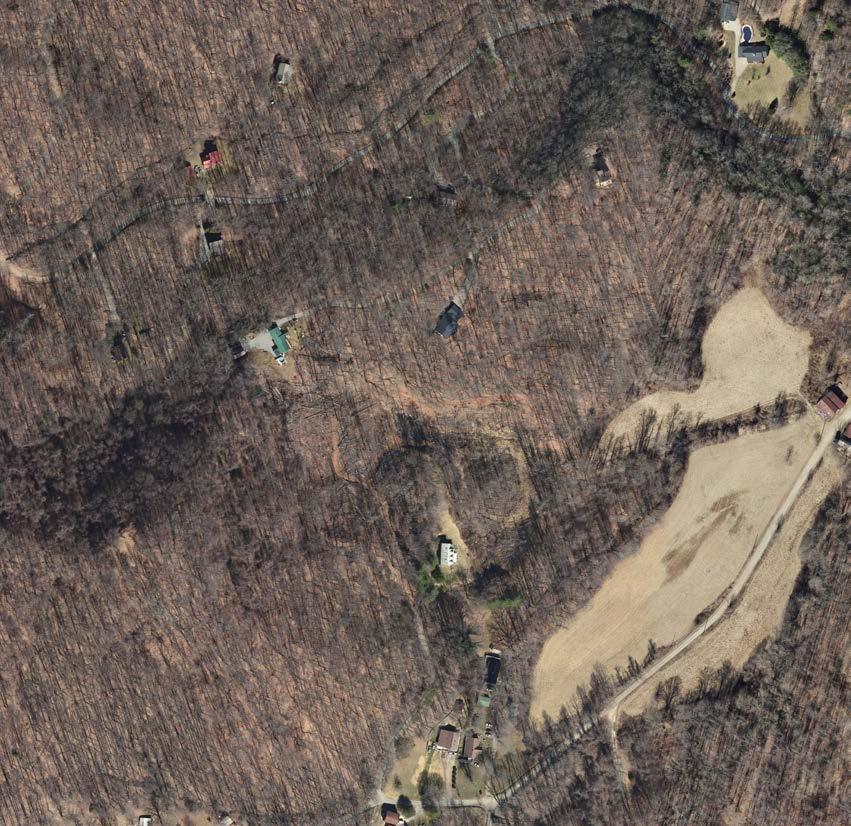
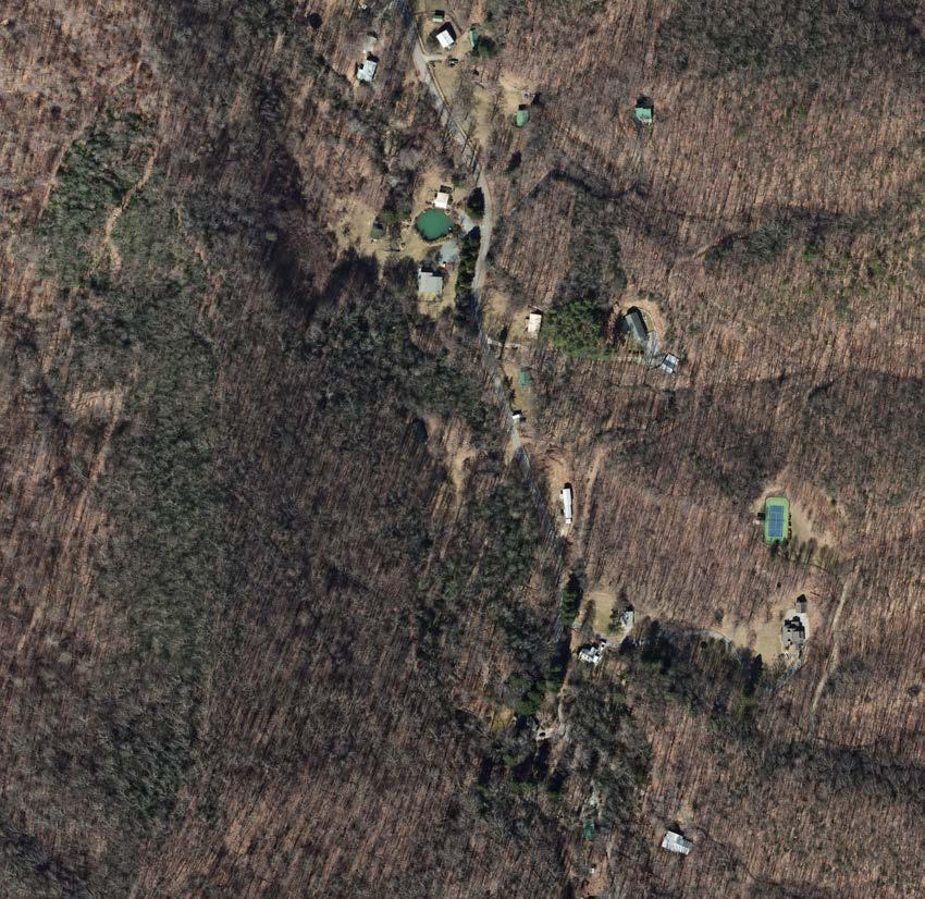
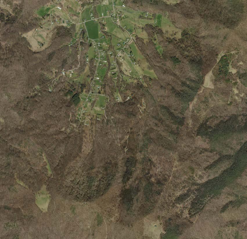
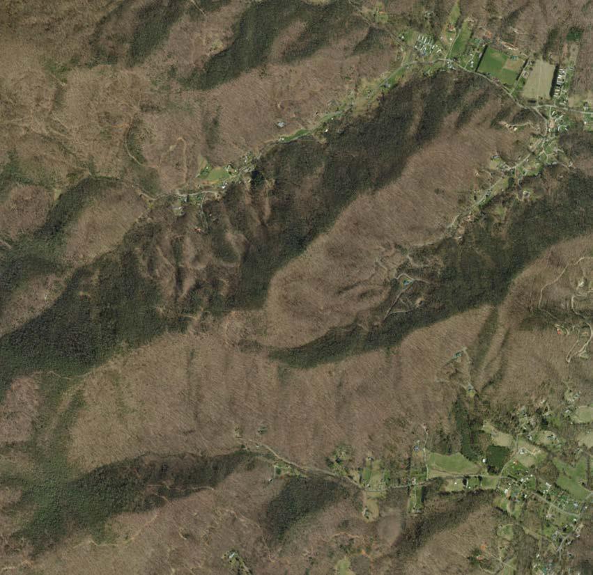
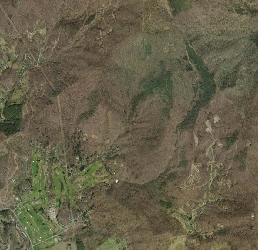
The inset map provides context for the location of the Pisgah View State Park property. The park is located in the unincorporated community of Candler in Buncombe County, North Carolina and sits below the prominent peak of Mount Pisgah. It is nestled in Hominy Valley adjacent to Hominy Creek, a major tributary of the French Broad River. Hominy Creek is classified by NC Division of Water Resources (NCDWR) as Class C water (protected for aquatic life and secondary recreational activities) and is designated trout waters (Tr). The property lies 18 miles west of Asheville, and is accessible from the metropolitan areas of Asheville and from the Blue Ridge Parkway. It is in close proximity to Pisgah National Forest, which comprises over 500,000 acres of forested lands.


areas of the park are most suitable for high use by humans?
Streams, wetlands, riparian buffer zones, plant communities, statedefined conservation priorities, sensitive species locations, and slope are the criteria that were used in the suitability assessment for high-use areas.
To determine the best areas for development of the park’s frontcountry, the property was first assessed by Equinox Environmental scientists to delineate areas within the frontcountry that are deemed important for their natural heritage and resource value. By doing this, areas not suitable for high use can be avoided during future development. This process helps identify conservation areas.
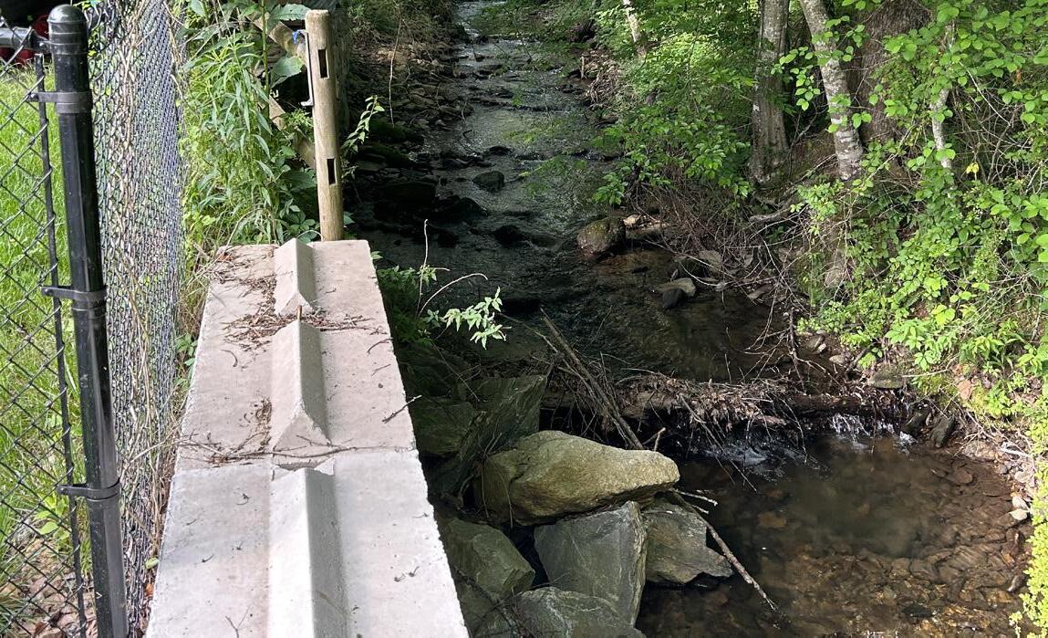
Riparian areas such as streams, wetland areas, and their associated buffer areas protect against flooding, filter pollutants, and recycle nutrients. Despite being small, the streams within Pisgah View State Park are vital components of the area’s ecosystems, providing important habitat for wildlife and feeding into larger bodies of water and wetlands that host a variety of ecosystem services, from drinking water to recreation opportunities for humans. The small size of the streams make them more vulnerable to disturbance, therefore their protection is a priority in the development suitability assessment process. Each of these riparian areas in the frontcountry is buffered on both sides to contribute to the park’s conservation area, where new development should be avoided.
Plant communities and sensitive species locations were mapped, using both desktop and field analysis methods, then broadened and considered when determining which areas should be conserved. The maps on the following pages show riparian resources and plant communities. Certain native plant communities with high and moderate ecological value were used to identify primary and secondary conservation areas in the frontcountry. Additionally, the State Natural Heritage Program (NCNHP) has designated “Natural Areas” across the state. These areas are sites of special biodiversity significance due to the presence of rare species, unique natural communities, or other ecological features. Two of these Natural Areas intersect portions of the park’s frontcountry (see maps on following pages). Avoiding all of these areas while the park is developed helps ensure the conservation value and beauty of the park for visitors today and into the future. It is also paramount to protecting Buncombe County’s unique plants and animals for future generations to come. The maps on the following pages display the primary and secondary conservation areas within the park property.
RIPARIAN RESOURCES
Wetlands, streams, and their buffers as well as benthic bioclassifications all go into prioritizing hydrological resources.
LEGEND FOR INSET:
BWHA* Biodiversity/ Conservation Values:
Top Tier
DEFINING
PRIMARY & SECONDARY CONSERVATION AREAS IN THE PARK
COMMUNITIES & SENSITIVE SPECIES
Rare species occurrences using state data and field verification are mapped with habitat types to reveal ecologically sensitive areas.
Pisgah View State Park is in a region with some of the highest conservation and biodiversity value in the state of North Carolina.
LARGE-SCALE LANDSCAPE PRIORITIES
Moderate-and high-priority natural areas show which areas in the park feed into a larger statewide network of conservation priorities.
*The Biodiversity and Wildlife Habitat Assessment (BWHA) was developed by the North Carolina Natural Heritage Program as part of the NC Conservation Planning Toolbox, which is designed to be utilized by land planners, managers, consultants, and conservation organizations in regional planning efforts.
PRIMARY & SECONDARY CONSERVATION AREAS
All layers are overlaid and areas with the highest overlap of values get the highest conservation priority. Conservation priority areas are then removed from potential areas suitable for high use, before slope is considered.
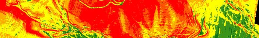
Next, slope was analyzed to compare steep areas to flat areas that are most suitable for development.
Existing slope is an important factor in the consideration of developable areas. Steep areas are more difficult and expensive to develop than flat areas. They are also more prone to erosion and more likely to contribute excessive sediment and stormwater runoff to nearby streams. Scenic hillsides are also preserved by avoiding development on steep slopes. These areas were mapped using desktop analysis that classified any land in the frontcountry that has a slope greater than 10% as least suitable to develop, and any land less steep than that as more suitable to develop, on a sliding scale.
Each of these criteria were layered on top of one another to assess development suitability across the frontcountry areas based on the number of overlapping development constraints ranging from sensitivity of habitat to permitting and geotechnical challenges. The following pages explore some of the maps created during this assessment that led to the delineation of the frontcountry areas suitable for high use.
*Area not assessed.
Park Boundary
Existing Trail
Stream
Wetland Area
55' Riparian Buffer
NC Natural Heritage - Natural Area Boundary
Frontcountry Habitat Type
Active Pasture
Early Successional
Former Pasture
Low Elevation Seep (Montane Subtype)
Managed Meadow Area
Ponds & Fringe Wetlands
Oak Forest
Oak-Heath Forest
Small Stream Riparian Forest
Secondary Successional Forest

Each of the riparian areas in the north frontcountry is buffered on both sides to contribute to the park’s conservation area, where new development should be avoided. Plant communities and sensitive species locations (not shown) were mapped, using analysis methods, then broadened and considered when determining which areas should be conserved. This map shows riparian areas and plant communities categorized by habitat types as well as NCNHP’s Natural Area boundaries.
Park Boundary
Existing Trail
Stream
Wetland Area
55' Riparian Buffer
NC Natural Heritage - Natural Area Boundary
Frontcountry Habitat Type
Low Elevation Seep (Montane Subtype)
Managed Meadow Area
Rich Cove Forest
Oak Forest
Oak-Heath Forest

ABOUT THIS
Each of the riparian areas in the south frontcountry is buffered on both sides to contribute to the park’s conservation area, where new development should be avoided. Plant communities and sensitive species locations (not shown) were mapped, using analysis methods, then broadened and considered when determining which areas should be conserved. This map shows riparian areas and plant communities categorized by habitat types as well as NCNHP’s s Natural Area boundaries.
Legend
Park Boundary
Existing Trail
Stream
Wetland Area
Primary Conservation Area
Secondary Conservation Area
*Area not assessed.
Riparian resources, high-rated habitats and NCNHP Natural Areas, and sensitive species locations are added and buffered.
Additional buffers are added to the riparian resources, and moderaterated habitats and NCNHP Natural Areas are added.
Primary Conservation Areas
Secondary Conservation Areas
ABOUT THIS
HOW THESE AREAS WERE DEFINED
The areas of land with the highest overlap of conservation values have the highest value in this analysis.
*Area not assessed.
Riparian resources, high-rated habitats and NCNHP Natural Areas, and sensitive species locations are added and buffered.
Additional buffers are added to the riparian resources, and moderaterated habitats and NCNHP Natural Areas are added.
HOW THESE AREAS WERE DEFINED
The areas of land with the highest overlap of conservation values have the highest value in this analysis.

Park Boundary
Existing Trail


*Area not assessed.


Slope is analyzed to distinguish steep areas from flat areas, which are most suitable for development. These areas were mapped using an analysis tool that classified any land in the north frontcountry that has a slope greater than 10% as least suitable to develop, and any land less steep than that as more suitable to develop, on a sliding scale. In this map, the green areas represent the flattest areas and the red areas represent the steepest areas. ABOUT THIS


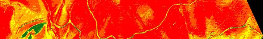


*Area not assessed.


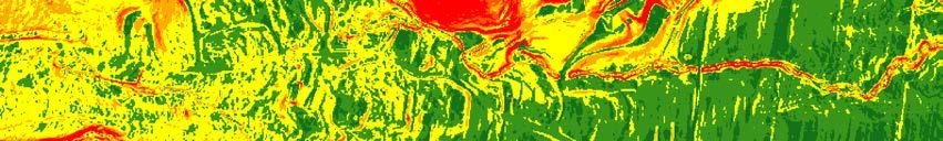
Slope is analyzed to distinguish steep areas from flat areas, which are most suitable for development. These areas were mapped using an analysis that classified any land in the south frontcountry that has a slope greater than 10% as least suitable to develop, and any land less steep than that as more suitable to develop, on a sliding scale. In this map, the green areas represent the flattest areas and the red areas represent the steepest areas.


*Area not assessed.
Park Boundary
Buildable Area
Existing Trail
Stream
Wetland Area
Suitability for Development


ABOUT THIS
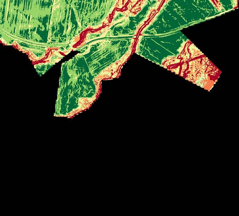
Streams, wetlands, riparian buffer zones, plant communities, NCNHP
Natural Areas, sensitive species locations, and slope were layered on top of one another to create the development suitability assessment across the frontcountry areas, based on the number of overlapping criteria. The most suitable areas to develop recreational amenities and structures are highlighted by the yellow outline labeled “Buildable Area.”


*Area not assessed.
Park Boundary
Buildable Area
Existing Trail
Wetland Area
Suitability for Development
Areas Most Suitable for High Use
Areas Least Suitable for High Use
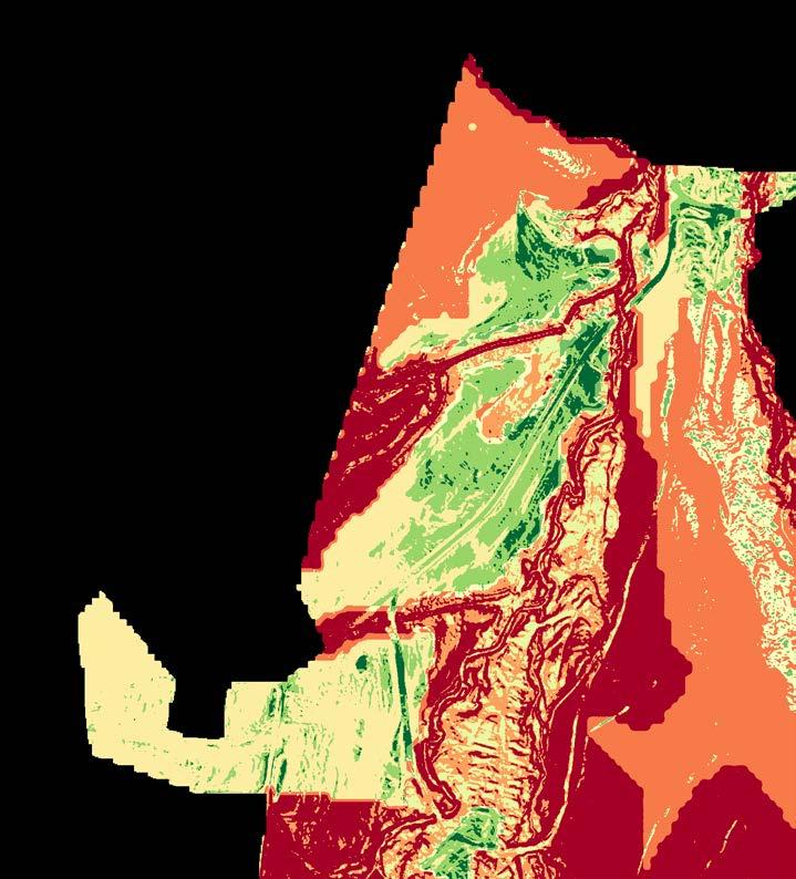
Streams, wetlands, riparian buffer zones, plant communities, NCNHP
Natural Areas, sensitive species locations, and slope were layered on top of one another to create the development suitability assessment across the frontcountry areas, based on the number of overlapping criteria. The most suitable areas to develop recreational amenities and structures are highlighted by the yellow outline labeled “Buildable Area ” ABOUT THIS


The focus of the site analysis was on the frontcountry areas. Much of the existing backcountry landscape contains steep slopes and is better suited for recreational use rather than buildable land for an initial day-use visitor experience. Thus, the frontcountry landscape was the focus of study, but some inventory was completed for the backcountry trail system.
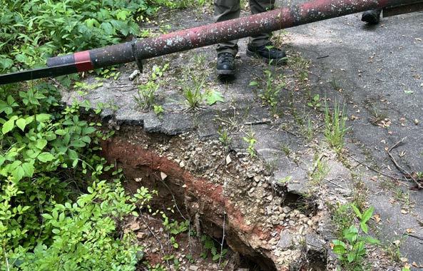
Through the process of site analysis, it was apparent that there are likely historic and archaeological resources associated with the property. Due to the limitations on the timeframe for this study, neither a Historic Structures Survey Report nor a comprehensive archaeological survey of the site was completed. It is recommended that these reports and surveys be done as a continuation of the site analysis process and prior to the implementation of any changes to the site.


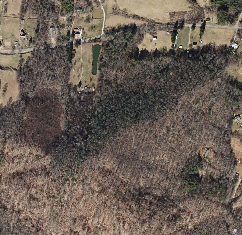
MAIN ENTRANCE
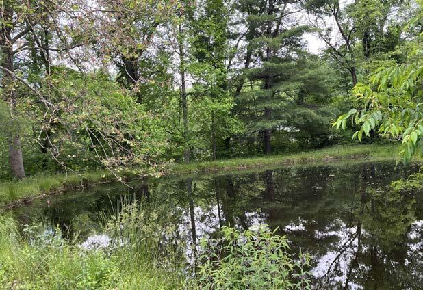
POND WITH EARTHEN DAM
The earthen dam that creates the pond may be compromised due to tree root establishment.
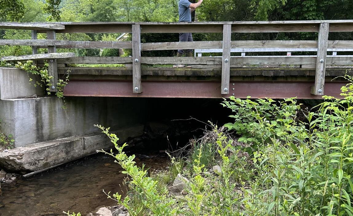
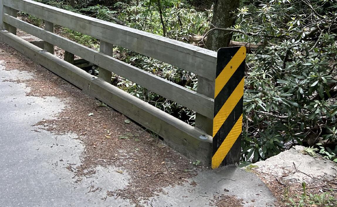
An NCDOT-maintained bridge crosses Hominy Creek on Davis Creek Road.
A small bridge boardwalk to the existing island in the center of the pond is in fair condition.
The banks of Hominy Creek have been stabilized adjacent to the Carter House.
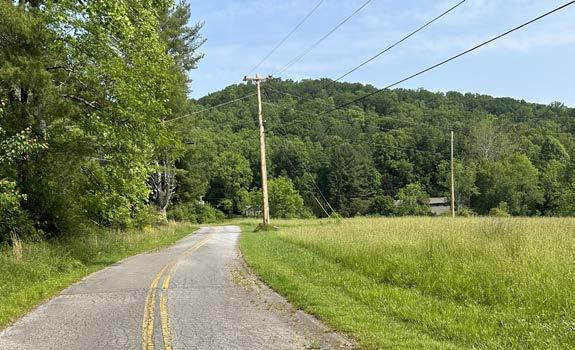
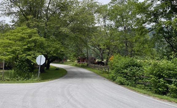
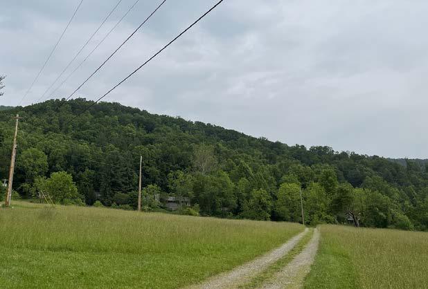
ENTRY ROAD
The paved entry road section is maintained by NCDOT. Aboveground utility lines run adjacent to road.
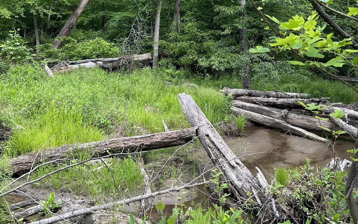
Beaver activity at the confluence of the streams has created a wetland habitat.
INACCESSIBLE PATHWAYS
Many existing concrete pathways by the Barn and Ranch House are not ADA accessible due to slopes and width.
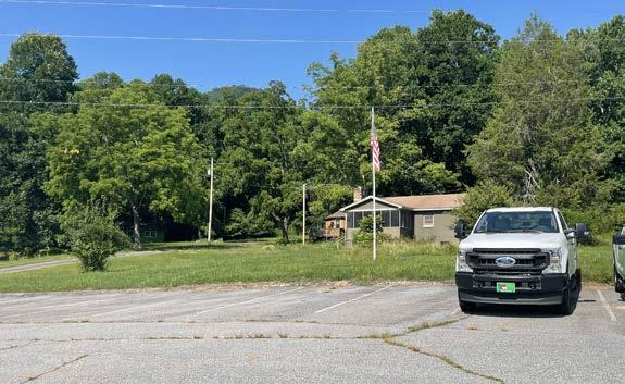
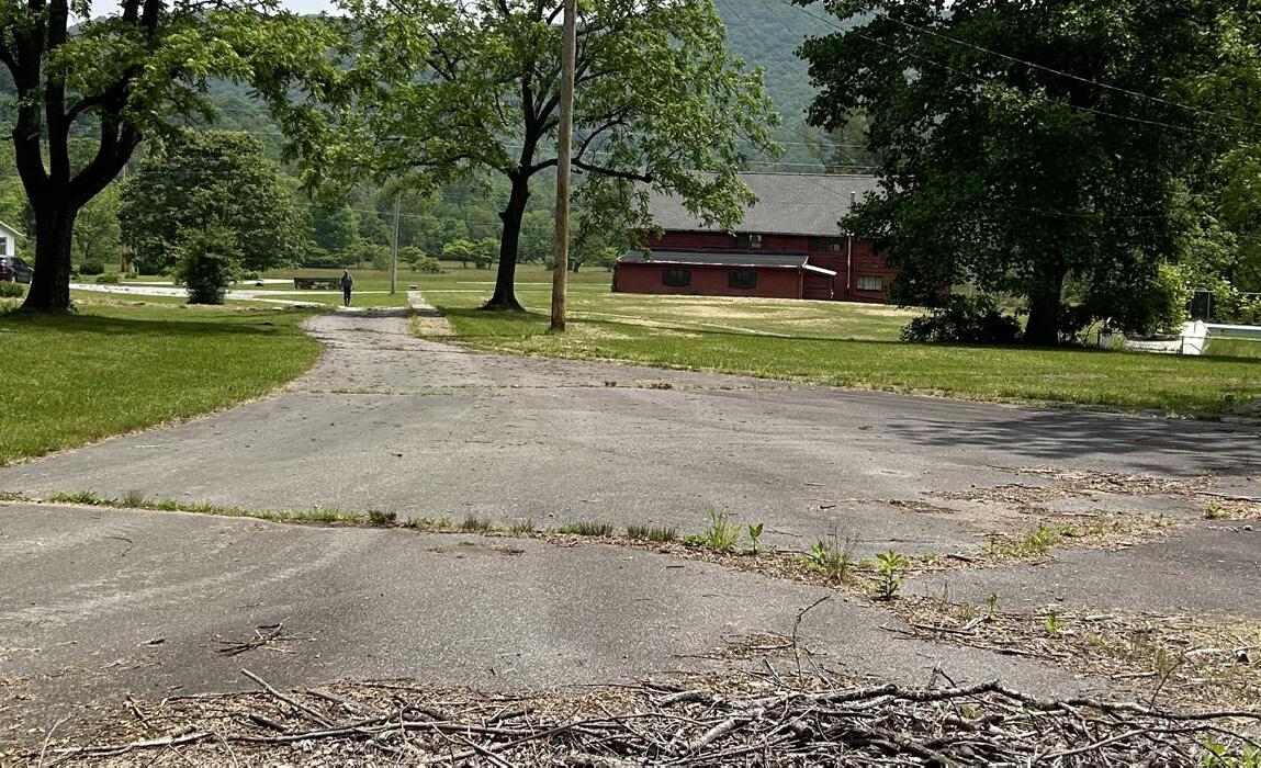
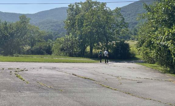
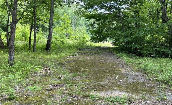
A large open paved surface is located in the central use area and serves as existing parking lot.
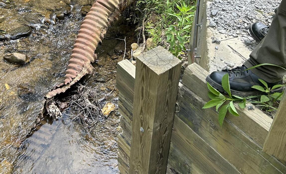
The paved road to the bunkhouse contains compromised stream crossing due to flood events.

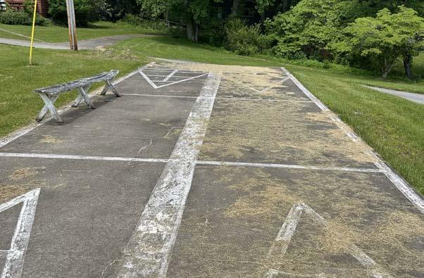
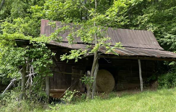
Aging recreational infrastructure is located in central use areas.
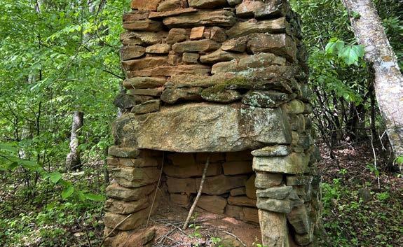
The chimney from the old homestead can be a destination for trails and interpretation.
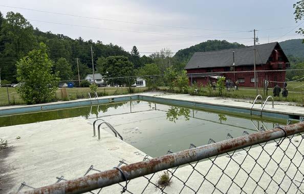
The existing pool in the central use area has not been maintained.
A more recently paved road includes waterbars for drainage and is current ROW for inholding property.
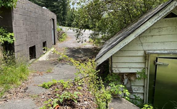
Multiple support buildings are located in the floodplain behind the Ranch House.

Right-Of-Way

The frontcountry areas of Pisgah View State Park host a combination of overhead electric utility lines and access restrictions. NC State Parks provided electric line location information. Coordination with the North Carolina Department of Transportation, Haywood Electric and private right-of-way holders will be necessary as future improvements are planned and implemented. Note that other utilities, such as septic and well locations, are not mapped.


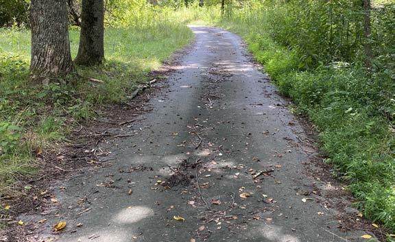
This map summarizes the condition of the existing trail system, notes prominent backcountry destinations and highlights the potential for new connections. While many of the existing trails (old logging roads) have acceptable grades for trail use, some sections do not. The GIS desktop trails assessment and field visit informed what reroutes are needed for the existing trail system. It is understood that some of the existing logging roads may be beneficial for the purposes of fire breaks and emergency access and that some may not need to be decommissioned.
As the intended main entrance to the park, Zone A encompasses much of the “frontcountry” and will be the most accessible portion of the site to most visitors. As such, this zone has been identified as a priority for ADA accessibility and first-phase implementation.
Zone B encompasses most of the existing doubletrack-width logging roads that were used as part of the former Pisgah View equestrian trails. During the site visit and vision/goals discussion, project sta identified long-distance hiking and equestrian trails as the focus of this zone.
Zone C includes the southernmost parcel of the current park boundary. The site once had full-service camping and primitive campsites and is bifurcated by existing logging roads. Elevation and sizable acreage would support the development of singletrack width hiking trails.


During the site assessment, significant views, high points, and attractive natural features were identified as potential trail destinations.
The sensitive areas identified on the map illustrate both potentially sensitive natural and cultural resource areas.
These lines depict big-picture connections between existing road/trail infrastructure and key destinations. The lines are conceptual to illustrate the intent and do not depict a proposed trail alignment.

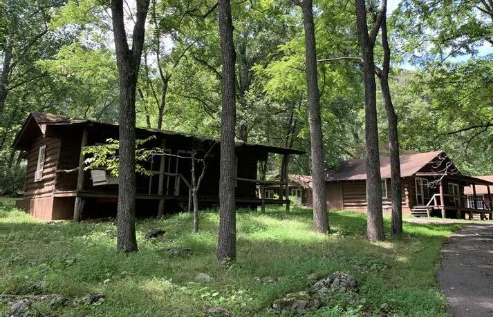
The following building narratives give a brief assessment and programmatic recommendation for the existing Pisgah View Ranch buildings with the understanding that once a final programmatic use is determined, further assessment will be required.
• All existing buildings documented in the following narratives will require some level of structural and cosmetic repair. SHPO should be consulted on any alteration or repair of a structure deemed to be of historic significance. Structures intended for public and staff use will need to be updated to meet all applicable safety and ADA codes.
• All current septic systems associated with the following structures will need to be assessed and, if necessary, upgraded to accommodate proposed plumbing loads to meet current codes.
• It is desired to bury existing electric utilities for the sake of maintenance and viewsheds. Prior to doing so, it will be recommended to enlist the oversight of SHPO when digging on the property. This is due to the potential archaeological importance of the site.
• Prior to any demolition of structures, an environmental review process will be conducted as a part of the NCDPR standard process.
Recommendation: Renovation
Potential Use: Visitor Center, Museum, Park Offices
Narrative
Recommendation: Rebuild as New Construction Potential Use: Event Venue, Picnic Shelter
Narrative
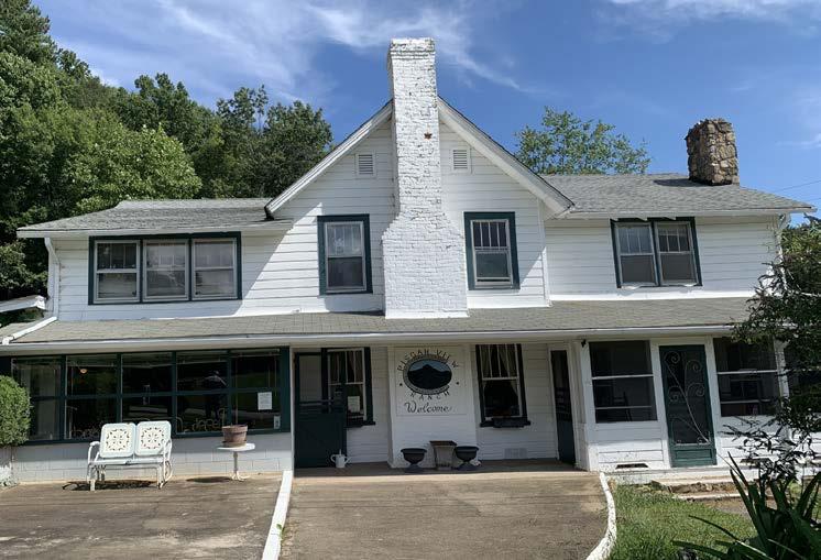
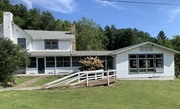
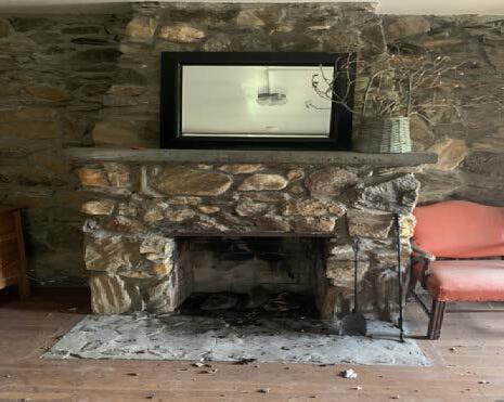
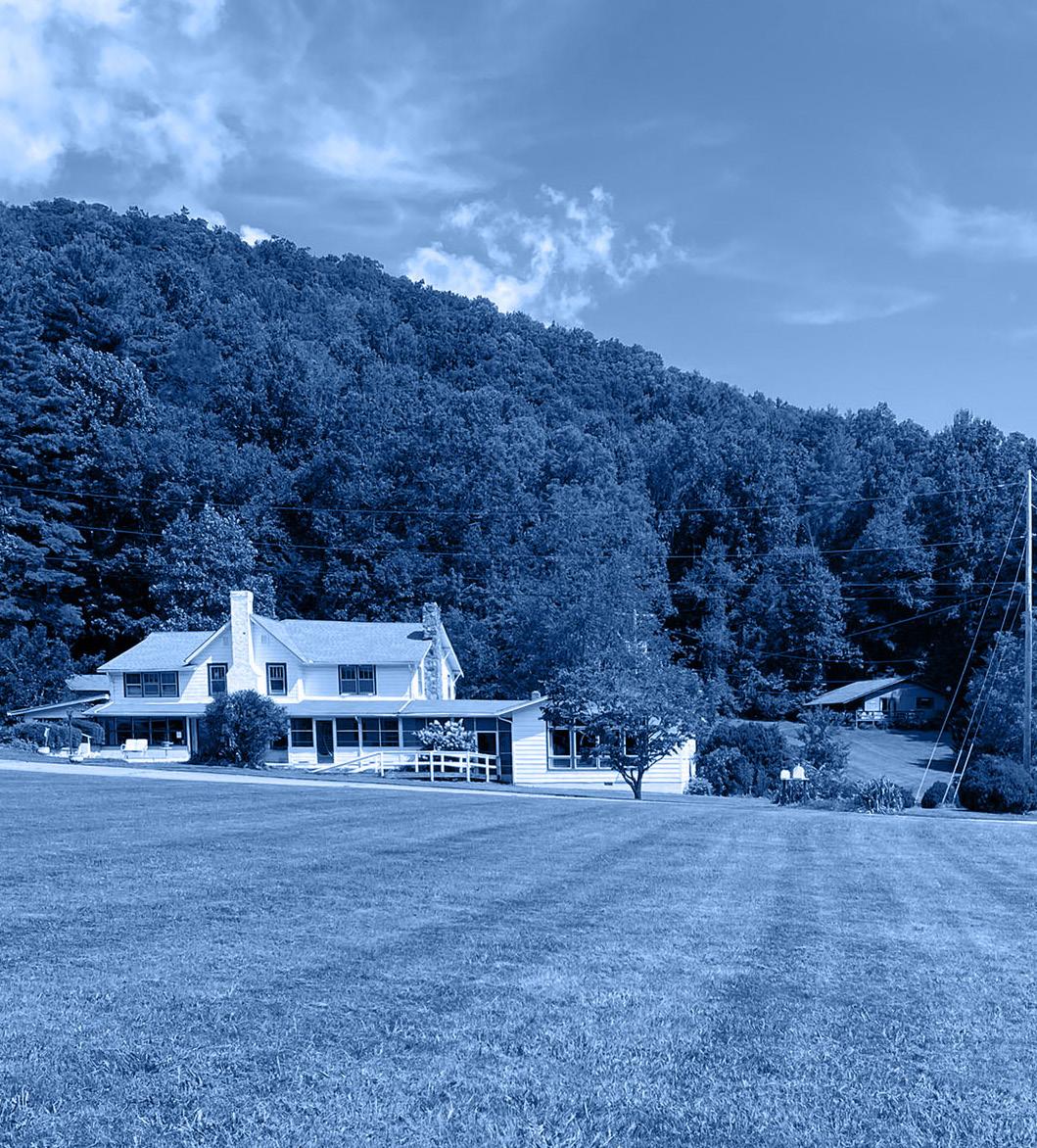
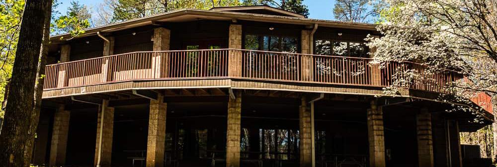
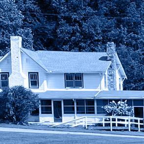
The Main Ranch House is a two-story timber-framed structure in fair condition and has had several additions over the years. It contains a commercial kitchen and gathering spaces as well as typical rooms found in a home that have had various programmatic uses. Due to its central location within the new park master plan, previous use as a ranch house, and value within the local community, it is recommended that this building be preserved and fully renovated. Any previous addition to the building not identified as historic is recommended to be demolished based on future use, for example the existing commercial kitchen. There are also several adjacent outbuildings in various degrees of disrepair. It is recommended that SHPO be involved in any rehabilitation decisions to the main house and the adjacent outbuildings.
Existing Building Condition
The main house will require substantial structural improvements to be re-purposed for public use. Structural issues with the floor and roof have been identified and will need to be addressed. Due to the proximity of the creek, flooding has occurred in the past and remains a concern for both the main house and the outbuildings. The exterior condition of the building varies. Windows and doors will need to be replaced. Exterior materials including siding, brick, and shingles will need to be repaired or replaced where applicable. The septic system should be assessed and designed to accommodate proposed plumbing loads and meet current codes. It is recommended that mechanical, electrical, and plumbing systems be updated to accommodate the future use of this building. The outbuildings are in poor structural and cosmetic condition and subject to flooding. Barring any historical significance, demolition of these buildings is recommended.
Accessibility
Where feasible, any alteration that will affect the future programming of this building will have to be made accessible. Possible re-grading of the site adjacent to the structure will need to be considered to allow for accessible parking and accessible pathways to the main entrance. In addition to exterior improvements, interior alterations and reconfiguration of space based on future programmatic needs will need to be addressed. Potential additional accessibility needs include restrooms and entrances.
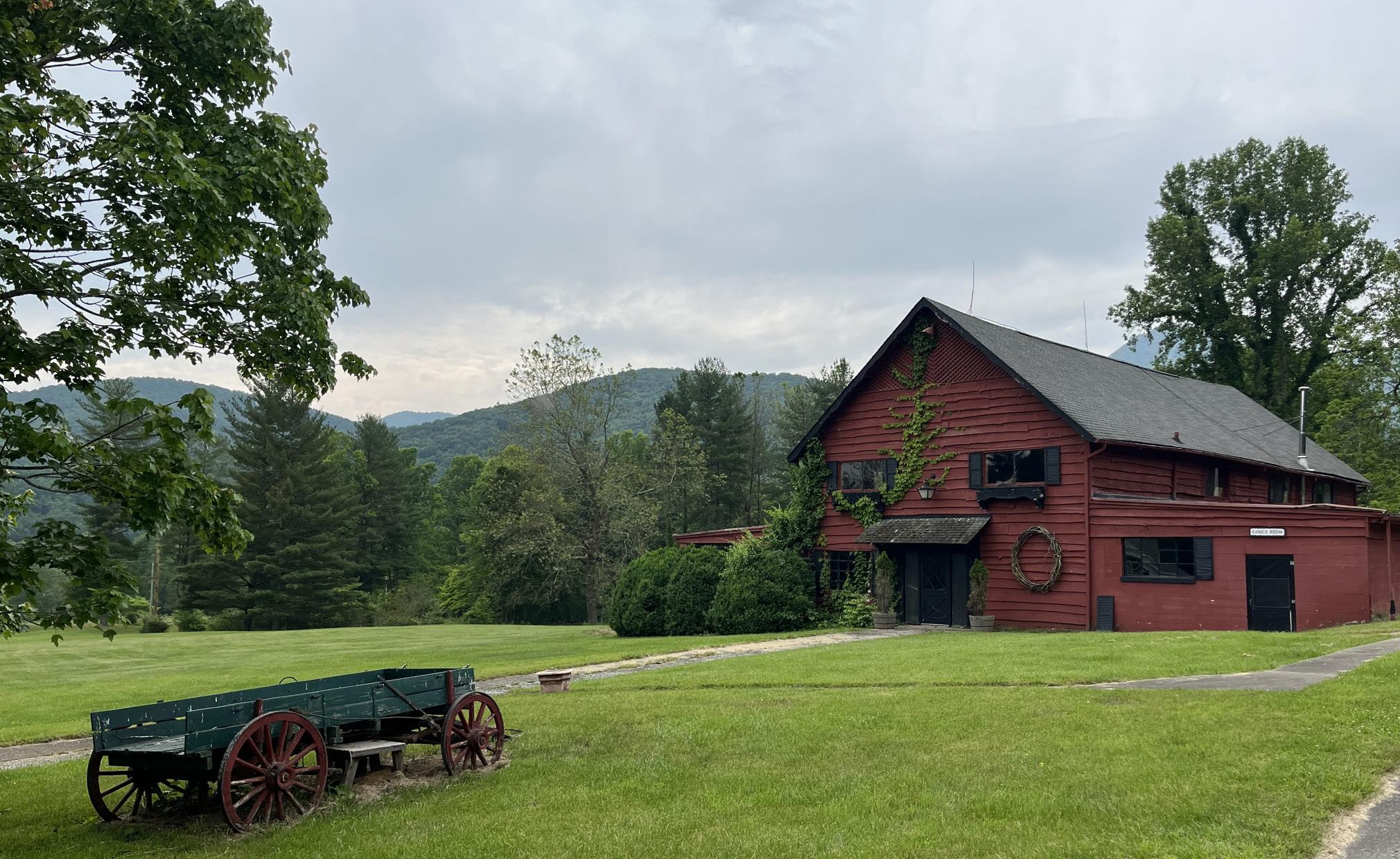
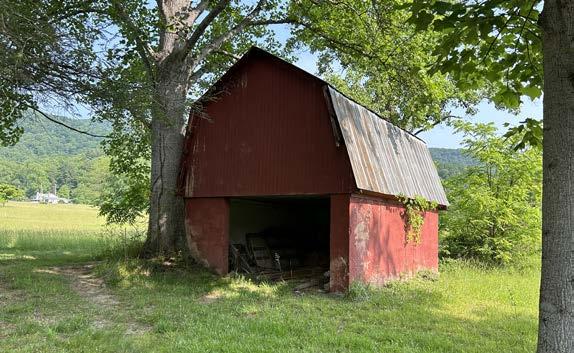
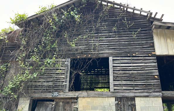
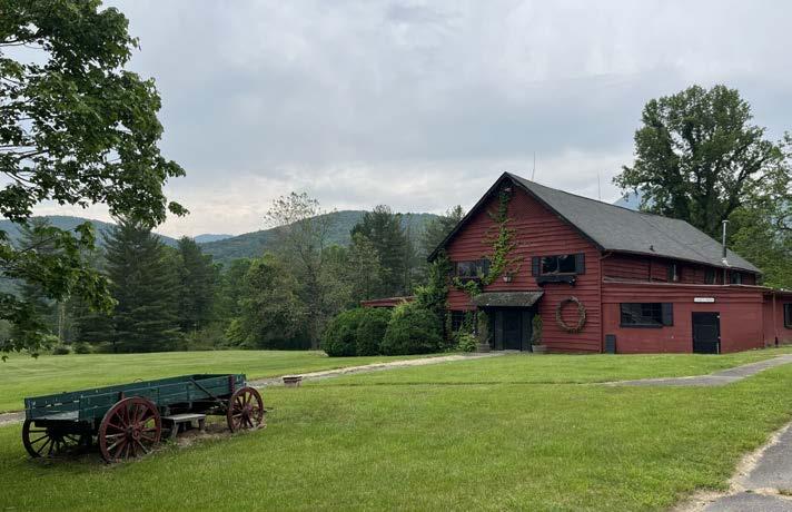
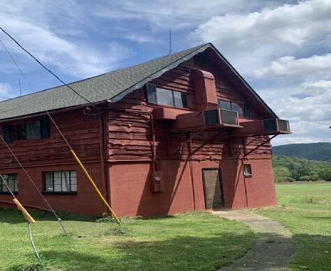
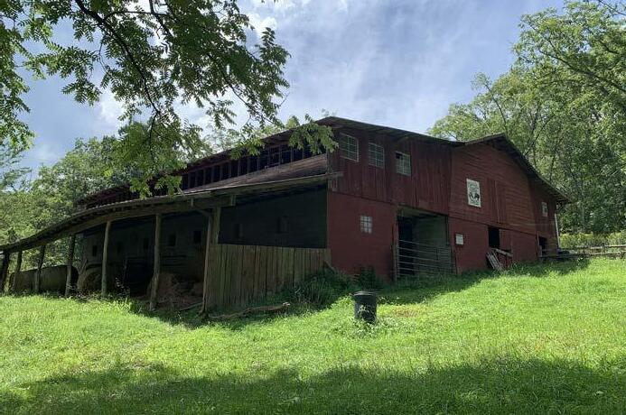
The Red Barn is a two-story wood framed structure located adjacent to the Main Ranch House. It contains a game room, restrooms and guest laundry on the main level and a dance hall on the upper level. While the overall exterior condition of the barn is fair, there are several structural issues and accessibility concerns that would make the current structure unusable and the process of renovation cost-prohibitive. Due to the barn’s central location within the new park master plan and adjacency to the Main Ranch House, it is recommended that the barn be demolished, and a new structure be built in its place that captures the essence and maintains the iconic feel and character of the existing barn. It is recommended that SHPO be involved with any plans for demolition.
Existing Building Condition
The exterior condition of the building varies. Where feasible, exterior siding and some elements can be salvaged and possibly incorporated into the new structure. The first level of the barn is in fair condition. The dance hall on the upper level is in considerable decline and not safe for public use. The exterior walls show significant bowing. Building new will alleviate any safety, structural, mechanical, electrical, and plumbing issues that are evident in the existing barn.
Accessibility
The current building does not meet ADA accessibility standards for public use. Bringing this building up to code would require significant renovations. New construction will allow the barn to be fully accessible and meet the needs for programming.
Recommendation: Renovation
Potential Use: Staff Housing
Narrative
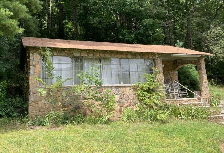
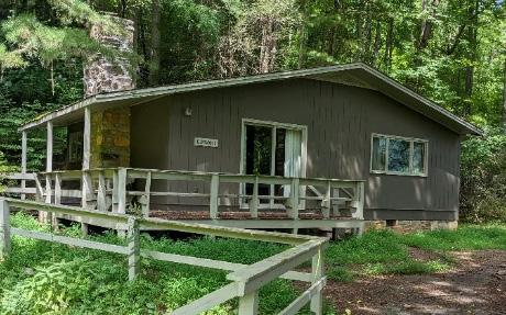
The Rock Duplex Cabin is a single-story masonry structure located behind the Main Ranch House. Over the years it has been used as guest housing. The overall condition of this structure is fair with the most immediate needs being a new roof and ADA accessibility depending on the final intended use. Due to the proximity of the Rock Duplex to the Main Ranch house, staff housing should be considered.
Existing Building Condition
The exterior condition of the building varies. Both structural and cosmetic repairs will be needed as required with the most immediate repair being to the roof. A new HVAC system should be considered, and it is recommended that windows, doors, and hardware be updated. The septic system should be assessed and designed to accommodate proposed plumbing loads and meet current codes. The interior is in fair condition and would require updated finishes and possible reconfiguration of the existing bathrooms, depending on the intended use.
Accessibility
Minor changes for accessibility are currently required to meet potential individual housing use. If intended for public use, the building would be required to be fully ADA-compliant with the most immediate needs including access to the main entry and reconfiguration of the bathroom.
Recommendation: Renovation
Potential Use: Staff Housing
Narrative
The Whippoorwill Cabin is a single-story wood frame structure with a wraparound deck located behind the Main Ranch House and next to the Rock Duplex Cabin. Built in the 1970’s, it has been historically used as a guest cabin. Like the Rock Duplex Cabin, the location of the Whippoorwill makes it ideal for park staff housing.
Existing Building Condition
The building is in fair condition with the most immediate exterior repairs being the deck and eventual roof replacement. New HVAC, windows, doors, and hardware are recommended as well as the repair or complete replacement of the existing siding. The septic system should be assessed and designed to accommodate proposed plumbing loads and meet current codes. Interior recommendations include updated finishes and possible reconfiguration of the bathroom and interior space for accessibility, depending on final use.
Accessibility
Minor changes for accessibility are currently required to meet potential individual housing use. If intended for public use, the building would be required to be fully ADA compliant with the most immediate needs including access to the main entry, repairs to the existing deck and reconfiguration of the bathroom.
Recommendation: Renovation
Potential Use: Guest Rental
Narrative
Recommendation: Renovation
Potential Use: Guest Rental
Narrative
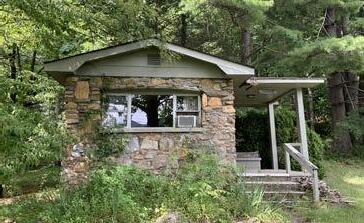
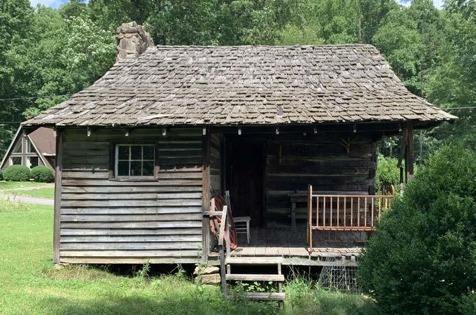
The Stone Cabins are a grouping of stone and wood frame structures to the northeast of the Main Ranch House. This grouping consists of the stone-built Pierce Cabin and Honeymoon Cabin, and the stick-built Elmwood Cabin. All three structures are in serviceable condition with various repairs and updates needed. Adjacency to the Main Ranch House and future Event Barn along with proximity to the creek and mountain views make these cabins ideal for guest rentals.
Existing Building Condition
All buildings are in serviceable condition with varying degrees of repairs needed. It is recommended that HVAC and roofing be replaced for all three where applicable. The septic system should be assessed and designed to accommodate proposed plumbing loads and meet current code. Windows, doors, and hardware should be replaced or repaired as needed for all three structures, with special attention given to the Pierce and Honeymoon cabins due to their aesthetic qualities. Interior finishes will need to be completely updated for all three structures.
Accessibility
For guest use, one or two of the existing cabin structures to be renovated on the property (including the Malvern Hills Cabins) will be required to be made ADA-compliant. Due to the aesthetic nature and size of the Pierce and Honeymoon cabins, it is recommended that alterations for accessibility be made where feasible. The Elmwood Cabin would be a candidate to be renovated for full ADA compliance due to its relative proximity to the Main Ranch House and guest parking. ADA compliance would include an accessible path to the main entry and possible reconfiguration of the main entry. Reconfiguration of the bathroom and possible alterations to other rooms will be required. Substantial repair or a complete rebuild of the deck is also recommended.
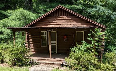
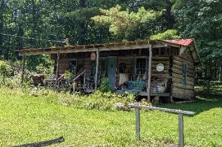
The Malvern Hills Cabins are a secluded grouping of log cabins located to the west of the Main Ranch House. The grouping consists of the Azalea, Carolina, Dogwood, Hickory, Hummingbird, Walnut, Chickadee and Webbwood Cabins. The cabins were relocated from the Malvern Hills area of Asheville to their current location. Historically these cabins have been used as guest rentals.
Existing Building Condition
All cabins are in relatively good structural and cosmetic condition apart from the Chickadee Cabin, which has substantial roof damage. It is recommended that the Chickadee Cabin be demolished if repairs prove to be economically impractical. The remaining cabins should be repaired and updated as needed. All cabins require updated HVAC systems, electrical improvements, and new plumbing fixtures. The septic system should be assessed and designed to accommodate proposed plumbing loads and meet current codes. Windows, doors, and hardware should be updated for all cabins with an eye towards maintaining their existing aesthetic. Roofing repairs and exterior improvements will be needed on a case-by-case basis.
Accessibility
Currently none of the Malvern Hills cabins comply with ADA standards for public use. Due to the relative remoteness of these cabins from the Main Ranch House and future guest parking as well as their historic nature, complete ADAcompliance is not feasible without significant alterations to the character of these structures and the surrounding natural environment. It is recommended that ADA compliance for guest use be achieved by altering one or more of the existing Stone Cabins adjacent to the Main Ranch House.

Recommendation: Demolition
Potential Use: None, due to water damage and flooding
Narrative
The Brookside Cabin is located within the floodplain and as a result has significant water-related damage. It is recommended that this structure be demolished. This building was constructed in a flood-prone area. Storm drainage associated with this structure along the back will need to be rerouted.
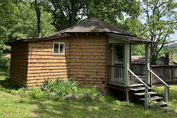
Recommendation: Renovation
Potential Use: Staff Housing
Narrative
The Spruce House is a single-story wood frame structure with a walk-out basement located to the west of the Malvern Hills Cabins. Built in the 1960s, it has historically been used as staff housing. It is recommended that this structure continue to be used as staff housing.
Existing Building Condition
The building is in fair condition with the most immediate repairs being new HVAC, windows, doors, and hardware. Exterior cosmetic repairs are required as needed. The septic system should be assessed and designed to accommodate proposed plumbing loads and meet current codes. Interior recommendations include updated finishes and fixtures.
Minor changes for accessibility are currently required to meet potential individual housing use. If intended for public use, the building would be required to be fully ADA-compliant, with the most immediate needs including access to the main entry, repairs, and reconfiguration of the bathroom.
Recommendation: Temporary Staff Housing
Potential Use: Staff Housing, Staff Office, Guest Housing
Narrative
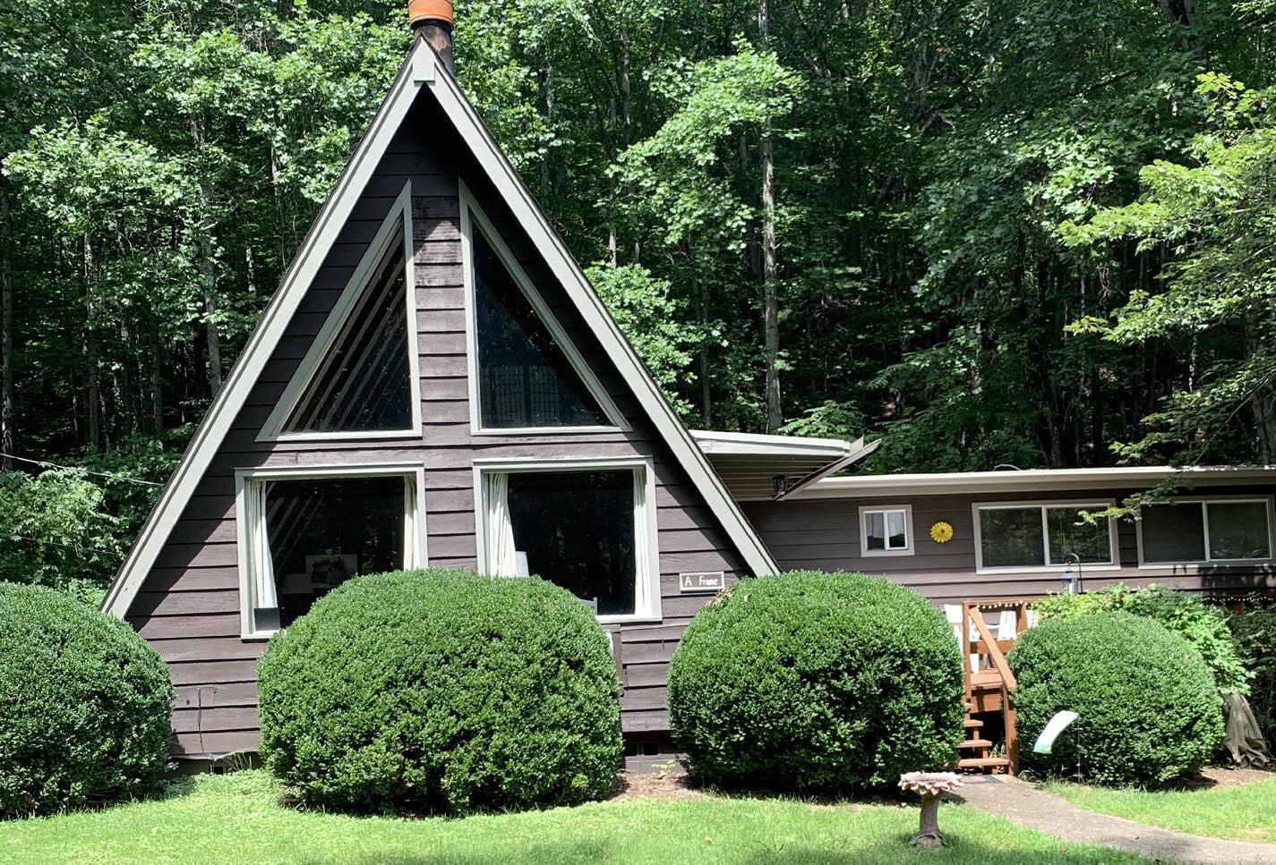
The A-Frame Cabin is a two-story A-frame structure with an attached onestory stick-built addition. It is located within the floodplain but has not seen any significant water-related damage. It has been historically used as a guest rental and is located to the west of the Main Ranch House and is adjacent to the Brookside Cabin. The structure has possible asbestos contamination and should be inspected. The A-Frame Cabin has no historic significance to the property.
Existing Building Condition
The A-Frame Cabin is in overall good condition but may contain asbestos. Abatement is recommended; however, this may not be economically feasible. Mechanical, plumbing, and electrical systems are adequate, with some updates recommended. New interior finishes and fixtures are also recommended.
Currently the A-Frame Cabin does not meet ADA standards for public use. Due to its relative proximity to the Main Ranch House and its open floor plan, ADA compliance is possible; however, the loft space would remain non-compliant. New fixtures, reconfiguration of interior spaces and an accessible path and entry would be required if designated for public use,. It is recommended that this structure be used for staff housing.
Recommendation: Demolition
Potential Use: Salvage Material (Also Current Use)
Narrative
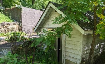
The Horse Barn and Shed are currently used as a stable and maintenance shop for the site. They are in serviceable condition and contain no mechanical systems and limited plumbing and electrical service. Exterior materials are in good condition. Currently these structures are not ADAcompliant, and it is recommended that they continue to be used as is or demolished.
Recommendation: Preservation
Potential Use: Historic Exhibit
Narrative
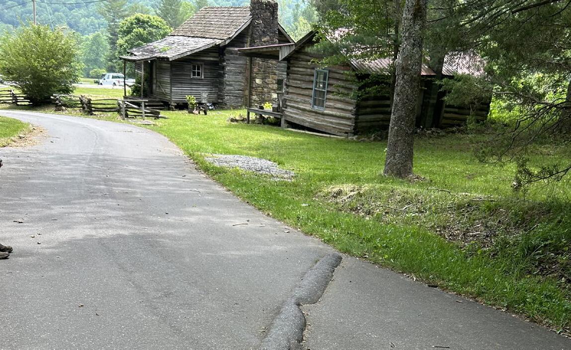
The Davis Cabin is a historic log structure located near the Main Ranch House. Once belonging to Uriah Davis, this cabin was likely built in 1776. There is currently no mechanical or plumbing and minimal electrical service associated with the cabin. In its current condition, the roof needs to be repaired or replaced. Due to the historic nature of the cabin, any renovation or alterations needed should be done with an eye towards preservation. It is recommended that SHPO be involved in any decision regarding this structure.
Recommendation: Demolition
Potential Use: Salvage Material
Narrative
The Craft Shop Cabin was once a roadside motel cabin that was relocated to the property. It is adjacent to the Davis Cabin and has historically been used as a craft/gift shop. Due to the advanced state of structural and cosmetic decay, renovation and ADA compliance are cost prohibitive. Demolition is recommended, with the possibility of salvaging materials for future use.
Recommendation: Preservation
Potential Use: Historic Exhibit, Guest Rental
Narrative
The Tollgate Cabin is a historic structure that was relocated from the old Pisgah Motor Road (now on NC Highway 151) and was once a gate house to manage the traffic along the road. The Vanderbilts utilized this road to access the Buck Spring Lodge adjacent to Mount Pisgah. Historically, in its current location it has been used as guest housing on site. It is in need of cosmetic repairs and updated mechanical, electrical and plumbing systems, but is in overall good condition. It is not feasible to make this structure ADA-compliant; however, it can still be used as a guest rental if another rental at the park if it is designated as ADA accessible. Due to the historic nature of the Tollgate Cabin, it is recommended that SHPO be involved in any decision regarding this structure.
Recommendation: Demolition
Potential Use: Temporary Office
Narrative
The Sunrise Cabin is a single-story concrete masonry unit structure located between the Tollgate Cabin and the 1790 Davis Cabin. It has historically been used as a guest rental with capacity for 10 people. The Sunrise Cabin has no historical significance to the property and given its location between two historic structures and lack of privacy demolition should be considered. Due to the good condition of the structure it can also be used as a temporary office while other construction and rehabilitation activities occur.
Existing Building Condition
The Sunrise Cabin is in good condition. There are no structural issues with the cabin and the mechanical, electrical, and plumbing systems are in good condition. The septic system should be assessed and designed to accommodate proposed plumbing loads and meet current codes. Exterior materials are in good condition with minor cosmetic repairs needed. The interior requires updated fixtures and finishes.
The Sunrise Cabin is not ADA-compliant for public use. Staff use is feasible, but given the location of the structure relative to the historic Davis Cabin, Tollbooth Cabin and proposed Event Barn, guest and staff use might be discouraged. ADA compliance would require significant alteration to the exterior to allow access to the main entry as well as reconfiguration of the interior space and the bathroom.
Recommendation: Demolition
Potential Use: None, Staff Housing
Narrative
The Lake Cabins are a cluster of structures located adjacent to the pond. They are located due south of the Main Ranch House and behind the existing Red Barn. The grouping consists of the Lakeside, Cardinal, Beechnut and Mountain Brook Cabins. All cabins are single-story structures that have been historically used as guest rentals, apart from the Mountain Brook Cabin which was used as employee housing. None of these structures have historic significance to the property.
Existing Building Condition
The four lake cabins have varying degrees of structural and cosmetic damage. The Lakeside Cabin and Cardinal Cabin are in poor condition and have significant foundation damage due to the location in flood-prone areas. Structural issues are apparent, and both need new mechanical, electrical and plumbing systems as well as new interior fixtures and finishes.
None of the four Lake Cabins meet ADA compliance for public use. Due to their relative detachment from the Main Ranch house, lack of historic significance, and location within the floodplain, it is recommended that they be demolished. Due to the location of these cabins, it is recommended that if they remain, they should be dedicated to park staff use.
The opportunities and constraints maps illustrate a methodology used by the consultant for identifying, collecting, and compiling the findings from the site analysis process.
Opportunities were seen as specific points identified in the field including, but not limited to:
• Views
• Prospect & refuge
• Natural assets or unique destinations
• Accessibility
• Potential for connectivity
Constraints were primarily identified as ecological and infrastructural in nature:
• Avoiding impacts to water resources
• Erosion and unsuitable soils
• Steep slopes
• Sensitive natural and cultural sites
It is important to note that the presence of a constraint does not necessarily mean that the land is rendered unsuitable for development.
Aggregating these resources (opportunities) and limitations (constraints) into a composite map provides a means of focusing community and stakeholder attention to existing issues and conditions that the consultant team employed to help drive design concepts. These maps do not reach any conclusions or suggestions,; rather, they provide an additional layer to the Analysis Maps in which we were able to narrow our focus.
• Scenic views and vistas draw visitors to the landscape.
• History of the property as a dude ranch has meaning to a greater community.
• A trail system exists within the backcountry and has been used for decades.
• Unique destinations have been identified by the past owners, including scenic views and waterfalls within the backcountry.
• A rich history of land use over the centuries is evident in the landscape.
• The best scenic views of Mt. Pisgah are from the frontcountry areas.
• A variety of ecological communities on the property can provide many interpretive and educational opportunities for visitors.
• The terrain is very steep, making for a challenging hiking experience.
• Minimal flatter areas available.
• Much of the trail system follows old logging roads, which are not sustainable.
• The views are not spectacular from the backcountry and difficult to access.
• Much of the property comprises a single watershed that experiences frequent flood events.
• Flooding can be an issue that will get worse with continued severe weather conditions.
• Erosion and general land disturbance is evident in many locations.
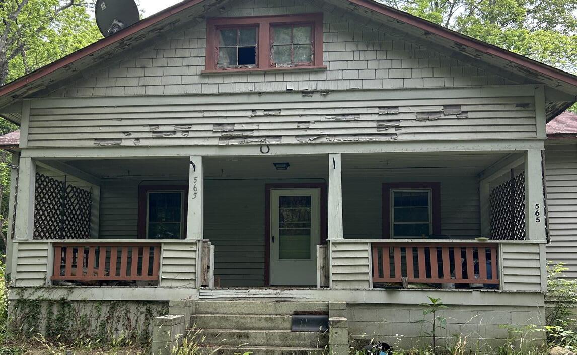
• Existing buildings are in various stages of disrepair.
• Bridges and stream crossings need to be replaced or the locations should be reconsidered.
• Much of the landscape has been previously disturbed and is currently in a successional state, providing opportunities for invasive species to come in.
• Utilities are dated and in need of replacement or repair.
• Davis Creek Road, managed by NCDOT, has not been built for high general public use, with its tight curves and a limited right-of-way.
1

5 Disconnected parcel, challenging to access
6 Disconnected parcel, challenging to access
7 Rich ecology adjacent to water resources, limits development
5
2
1
1 Connection along Davis Creek Road to the Northern Frontcounty
2 Old homestead along Davis Creek Road has flatter grades and high visibility from the road
3 Views to Mount Pisgah from highpoint in pasture
4 Scenic open pasture lands
5 Flatter open field, already disturbed
6 Intact rich cove forest along streamside
1 South Brooks Cove Road is shared right-of-way with multiple adjacent landowners
2 Bridge damaged on old campground access road
3 Old campground within confluence of two trout streams
4 Many historic logging roads traverse steep slopes throughout this area
5 Steep slope area along property edge
When considering the context of how the proposed Pisgah View State Park can fit into the regional landscape of outdoor recreation offerings, multiple resources were explored. This chapter summarizes the findings from the research completed. Topics explored in this chapter include:
• Understanding how this park can fit into the Systemwide Plan for North Carolina State Parks (2023)
• Understanding proximity and connectivity to regional outdoor recreational opportunities, including other North Carolina state parks
• A reference comparison of other North Carolina state parks with similar recreational amenities
• The consideration of third-party concessions operating various amenities in Pisgah View State Park and how these compare to regional offerings


The North Carolina Division of Parks and Recreation
manages over 260,000 acres of iconic landscape across the state in parks, recreation areas, and natural areas, with a mission dedicated to conservation, recreation, and education. The state parks system welcomes more than 20 million visitors annually.
The following pages display information gathered to compare the amenities that are most utilized in other state parks in North Carolina. It is important to understand how other parks and recreational areas in the state parks system are currently being utilized when determining what amenities to include in a new park.
Loca�i�n: B�r�e C��n��, NC
21,000 acres
50.5 miles of hiking trails

32.5 miles of equestrian trails
17 miles of mountain biking trails
15 campsites (non-electric) 3 campsites (electric)
24 campsites (primitive)
15 equestrian electric campsites
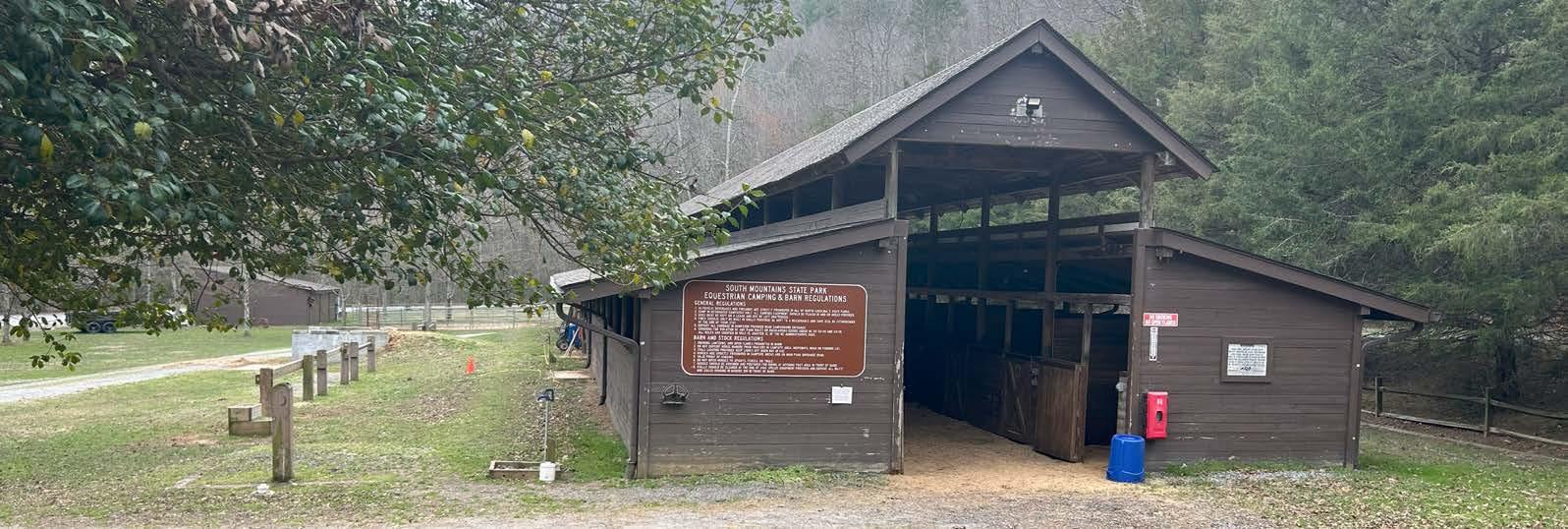
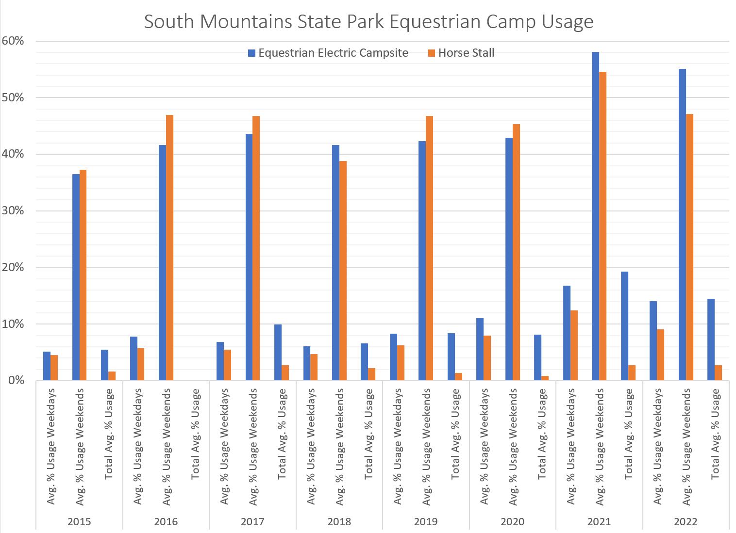
South Mountains State Park is one of North Carolina’s most rugged state parks, with elevation gains up to 3,000 feet. Beyond its highly utilized day-use area and high water quality, it is primarily known for its equestrian resources. Many equestrian users visit this park from other areas of the region.
• Equestrian Facilities:
» Overall, equestrian facilities are the least used amenities in the state park system (based on the 2023 Systemwide Plan for North Carolina State Parks).
» This is the only North Carolina state park that has an improved equestrian campground facility. Overall, electricity is preferred at all sites offered for horse camping. Horse trailer parking should have options for shade and space for owners to camp near their horse.
» Due to the historic fluctuations in levels of use from weekdays to weekends, the plan should consider places to handle increased parking needs at high-use areas (the master plan for South Mountain State Park recommended to incorporate an additional 30-40 spaces in close proximity to the high-use trailheads).
• The campground facilities at the Jacob Fork Access experience more use than the equestrian campground and are a popular destination.
• The Jacob Fork River is a designated trout stream and provides recreational fishing opportunities. The day-use area is situated close to the river and provides educational opportunities.
Loca�i�n: St��e� C��n��, NC
8,400 acres
48 miles of hiking trails

6 miles of equestrian trails
15 miles of mountain biking trails
73 campsites (non-electric)
5 group campsites (primitive)
10 vacation cabins
Hanging Rock State Park is one of the most utilized parks in the state parks system with overnight visitation seeing the highest increase in recent years. Due to its proximity to the Piedmont Triad, this park offers North Carolinians a respite from urban living.
Vade Mecum, which is integrated as a part of the park property, was a resort in the early 1900s and was known for healing spring water. Similar to Pisgah View, the site is important to the community. Some of the buildings are considered sacred by the locals. In the master plan (2018), it is noted what structures and spaces are important to the history of the properties.
• Both Hanging Rock State Park and Pisgah View State Park have similar landscapes, with steep slopes constraining developable lands.
• Both parks have strong historical significance to the local and regional communities. From the 2020 master plan: “While it is critical to tell these stories and preserve the resources found on this property, it is also necessary to develop the property in a manner that is in keeping with the next chapter of its life as a state park.”
• Logging operations have had an impact on both Pisgah View and Hanging Rock (Vade Mecum) landscapes.
• Only 14 rooms are available for lodging indoors. These facilities may be too small for larger events like family reunions or weddings.
• There is high use due to proximity to larger urban areas, similar to what Pisgah View will likely experience.
Loca�i�n: G��lf�r� & Ro���n�ha� C��n�ie�, NC
1,700 acres
6.5 miles of hiking trails

0 miles of mountain biking or equestrian trails
47 rooms at Conference Center 0 campsites
10 cabins
Haw River State Park hosts a residential environmental education and conference center called The Summit. The park also offers hiking trails that access unique wetland areas and include boardwalks. The park’s primary interpretive themes are connecting with nature and the value of wetlands. Astronomy, cultural history, and sustainable living are also important themes. This is a newer park with currently limited recreational opportunities.
The Lodge at The Summit has kitchen and dining facilities onsite that is open to conference attendees. The commercial kitchen can host up to 200 people buffet style. Often the conference center is booked 2 years in advance.
Takeaways for Pisgah View State Park:
• In order to host larger events like weddings or conferences, the supporting amenities need to be suitable. The commercial kitchen facility at Haw River State Park has limited capacity to prepare food for larger events.
• This park does not offer a wide variety of trail typologies yet the hiking trails are included and utilized.
NC Division of Parks and Recreation (NCDPR) maintains a data set that records the usage of visitor facilities throughout the state parks system. Visitor facilities are amenities constructed in a state park to enhance the visitor experience and include things such as picnic shelters, campgrounds, trail systems, etc. This usage data provides insight on how the public uses state parks and what should be implemented at Pisgah View State Park.
Below are recommendations for Pisgah View State Park based on summaries of the usage data and the general trends in use across the North Carolina state park system.
NC State Parks Campsite Usage (2015-2022)
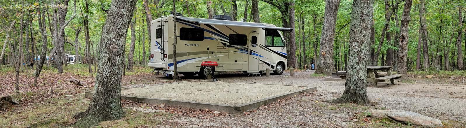
Campgrounds: Camping facilities are highly utilized, especially in recent years, and their use continues to increase. Full hookups for RVs at campsites is popular and preferred. This plan should consider including camping facilities at the park.
Equestrian Campgrounds: Equestrian camping facilities are utilized 20% or less annually, including on weekends. It is recommended to separate horse camping from other camping facilities. This plan should consider limiting the investment in equestrian camping facilities or utilizing alternate equestrian options like day-use or concessionaire until demand for such uses changes. Ensure parking is designed with designated spaces, as open gravel lots can lead to parking conflicts (South Mountains State Park). Equestrian camping facility usage data from South Mountains State Park is shown in the table in the next column.
Picnic Shelters and Picnic Areas: Picnic shelters and community buildings are continuously utilized on both weekdays and weekends by park visitors. Many picnic shelters are available on a first-come-first-serve basis when not reserved. Picnicking is a popular way to use state parks and picnic shelters are desired and used by the public.
Observation Decks: Observation decks ranked as the fifth most popular amenity in state parks. In areas with scenic views, they are highly utilized. They also help to protect the natural communities where the deck is by keeping visitors from impacting the vegetation around the vista. This plan should consider creating an accessible observation deck to meet the needs of more people.
Parking Areas: Determining the available parking capacity in a state park helps ensure that parking availability meets the demands estimated for the area. Separate parking areas and parking spaces for equestrian use is necessary. If offering horseback riding, ensure there is day-use parking that includes shade and clearance around trailers for safe unloading. Identify areas that could be suitable for future parking expansion overtime.
Restaurants: Restaurants present unique challenges within a state park setting. Careful consideration of concessionaire and contract terms would be very important.
Event Center: Providing spaces that can be rented to host events is becoming more common in parks. According to reservation data from state parks, renting spaces for wedding events at state parks has not historically been popular, but
Hiking Trails: Hiking trails are one of the most utilized amenities in North Carolina state parks. This plan should consider a diversity of difficulty levels and uses for trails, including ones that are universally accessible that lead to a destination. More mileage is preferable for all users.
Biking Trails: In the 2014 survey for amenity usage in state parks, only about 36% of respondents stated that they would use mountain biking trails in state parks. If offering mountain biking, offering a variety of trails for a variety of skill levels is important. Bike trails and equestrian trails should be separate and downhill biking trails should be separate from hiking trails.
Equestrian Trails: Other state parks have horse trail parking separated from other trail user parking. The highest use of equestrian trails occurs on weekends and in spring and fall when the weather is cooler.
Overuse is an issue impacting all parks in the system. Impacts from overuse have worsened in more recent years due to the COVID-19 pandemic and increased interest in outdoor recreation and visitation to state parks. Staff at other state parks recommended the following ideas to curb impacts from overuse:
• Include the appropriate amount of parking based on the capacity of the site. Use well-defined parking boundaries and spaces to make the use of space more efficient. Consider having separate parking facilities for equestrian trailers to eliminate conflict.
• Maintain emergency access even when park is at capacity.
• Consider closing the park when at capacity. If this is done, the entrance road must include ample space for turnaround, which can be challenging on rural roads. Ensure local residents can access their homes.
• Ensure all trails are designed and maintained sustainably to help curb impacts in high-use times.
• Review ways to notify the public about when the park is at capacity.


Blue Ridge Parkway : The Blue Ridge Parkway scenic highway offers stunning views of the Blue Ridge Mountains and connects to various hiking trails, overlooks, and visitor centers. 8 miles, 20-minute drive
Mount Pisgah Trail: This trail is part of the Pisgah National Forest and leads to the summit of Mount Pisgah, offering panoramic views of the surrounding mountains.
10.5 miles, 23-minute drive
Chestnut Mountain Nature Park: This park features a network of trails that offer opportunities for hiking, mountain biking, birdwatching, and enjoying the natural beauty of the area.
13.5 miles, 25-minute drive


15 miles, 34-minute drive


Bent Creek Experimental Forest: This area offers hiking, mountain biking, and equestrian trails, as well as opportunities for picnicking and wildlife observation.


Lake Powhatan Recreation Area: A popular spot for camping, fishing, swimming, and picnicking, with a lake and beach area.
17 miles, 30-minute drive


Richmond Hill Park: This park features hiking and mountain biking trails, as well as beautiful views of the surrounding area and disc golf.
19.5 miles, 32-minute drive
Craggy Gardens: Located along the Blue Ridge Parkway, this area is known for its unique highelevation flora and scenic overlooks.
37.5 miles, 1-hour drive
DuPont State Recreational Forest: This recreational forest is known for its stunning waterfalls, hiking and mountain biking trails, and scenic beauty. Horses and mountain bikes are allowed on certain trails.
44 miles, 1-hour drive


Great Smoky Mountains National Park: This national park is the nation’s most visited, covering over 500,000 acres that offer hiking, scenic driving, camping, and other uses.
50 miles, 1-hour, 12-minute drive to entrance in Cherokee, NC


Note that there are also numerous town and county greenway and trail systems, as well as future regional trails, such as the


The 2023 update for the North Carolina State Parks Systemwide Plan offers a strategic direction for the future of North Carolina’s state parks. Much of what is provided in this Master Plan for Pisgah View State Park directly supports the goals of the Systemwide Plan. The ways that this master plan meets these goals are listed below.
• This plan shows an example of the expansion of the overall state parks system. Pisgah View State Park will be a new state park to be located within Buncombe County. In Chapter 4, Figure 4.2 of the Systemwide Plan, Buncombe County exceeded the 2010-2019 state population growth average with a growth of 13.3%. The implementation of this plan will be providing outdoor access and recreational opportunities in a county projected to reach a population of over 300,000 by 2035.
• This plan focuses on making the park accessible for all. With inclusiveness in mind, there will be opportunities for any person to perform activities in the park independently. This includes access to the visitor center as well as multiple unique experiences and destinations that are worth visiting.
• With over 40 existing structures on the property, many will be rehabilitated for use in the park. It is proposed that a focus be made on retrofitting existing architecture and structures to be universally accessible whenever possible. See the Existing Building Assessment for detailed recommendations.
• This plan proposes spaces to integrate the Schools in Parks program with potential outdoor classrooms, interpretive trails, and educational opportunities.
• This Plan recommends providing adequate staffing to maintain, keep clean, and usable the spaces that are open to the public, while also caring for all the additional natural and cultural resources that exist within park boundaries.
• Maintenance needs have been a consideration throughout the design process of this master plan. It is recommended to ensure adequate staff is available for maintenance needs. This plan proposes to only build out what can be sustainably managed.
• Most of the amenities recommended in this plan are proposed to be near one another to minimize the patrol time for park staff and to ease overall maintenance needs.
• This plan also recognizes the strong role that partnerships can play in the operations at the park. An example of a partnership that has been considered includes engaging volunteer organizations to support maintenance and programming.
• This plan provides a resiliency overlay which gives a set of recommendations to make the landscape more resilient to natural disasters such as flooding and fires.
• The Pisgah View Ranch was a past economic driver in the Candler community. Even before the land was acquired, park staff engaged the community to understand the local economy and local needs.
• Providing accommodations will invite tourists to stay and explore. Opening a campground and cabins will provide visitors with the opportunity to stay in the Hominy Valley and allow tourists to experience other recreational opportunities nearby, including Pisgah National Forest.
• A state park can bring opportunities to local businesses. This plan proposes opportunities for concessionaires to operate out of the park, including the potential for food trucks or equestrian operations.
• This plan proposes a strong partnership with local schools. Programming educational events and field trips will be a key component to Pisgah View State Park and will directly connect local communities.
• This plan provides multiple trail typologies, including opportunities for hiking and equestrian activities.
• In Chapter 4 of the Systemwide plan, hiking, nature, and multi-use trails were stated to be the most popular facilities utilized by visitors and suggested that this will remain the case. This plan recommends the implementation of multiple multiuse trails and nature observation decks.
• Recommendations of this plan include creating partnerships with local recreational organizations such as hiking groups. It also recommends programming health and wellness events, including races.
• With the focus on partnering with local schools, this park will provide ways for kids to get outside and be physically active.
• This plan provides recommendations for stewardship of the various ecological systems that exist on the property. Some management recommendations include invasive species control, prescribed burns, and floodplain management.
• Pisgah View State Park has a vast history of various land uses over the centuries. Many cultural resources are obvious, but many are yet to be discovered.
• This master plan is designed to avoid adverse impacts to both natural and cultural resources. The planning and suitability maps in the analysis section of this plan should be referenced.
As stated in the division’s mission, the significant archaeological, geological, scenic, recreational, and biological resources of North Carolina should be represented in a comprehensive state parks system. These themes are defined in detail in the 2023 Systemwide Plan for North Carolina State Parks. The new Pisgah View State Park property hosts some of the themes that are underrepresented across the existing park system, thus complementing the systemwide plan. The highpriority themes associated with Pisgah View State Park are highlighted below. These themes can be further conveyed through interpretation and educational programming.
Many of the scenic themes that have statewide significance are moderately represented in the mountain region. Pisgah View State Park hosts many scenic vistas of the surrounding mountain landscapes that can complement the current statewide system. Vast meadows and pastures are also represented at Pisgah View. Although historically utilized for pasture, some of these areas can be restored to native wildflower meadows. Maintaining the scenic views across these landscapes is important to the character of the park.
Archaeological Themes

White quartz rock is found throughout the Pisgah View property, along with evidence of the creation of tools. An American Indian village was likely historically present in this watershed. It is likely that early Indigenous peoples settled in the rich floodplain areas of Hominy Creek. American Indian villages are frequently represented in the interpretation of state park landscapes.
Consider the interpretation of additional ways Indigenous people interacted with the landscape, including the use of stone, specifically quartz, for the creation of tools. In the state Systemwide Plan, there is currently only moderate representation of American Indian quarries in the mountain region. It is recommended to conduct a detailed archaeological survey within the floodplain areas of Hominy Creek, and action should be taken to preserve any findings prior to establishing any development in these areas.

Though much of this property has been historically altered by logging activities, there are still some intact natural communities of significance. As described in the North Carolina Natural Heritage Program report for Pisgah View Ranch, “a series of Low Elevation Basic Glades” exists on the tract. This is ranked as a theme with a high expansion need in the mountain region. Other significant communities on the Pisgah View property include Mountain Cove Forests and Montane Oak Forests.
Archaeological and Standing Structure Themes
Although historic rural domestic homes are adequately interpreted in the NC state park system, the Pisgah View Ranch Inn has a unique history, melding the cultural and recreational history of the property. The local community has a strong connection to the Pisgah View Ranch and its past history as a dude ranch. It is recommended to conduct a detailed archaeological survey of the Ranch House and its associated structures.
The inclusion of private-sector concession operations have been explored as an option for Pisgah View State Park. Running certain experiences from campgrounds to food services would very likely stretch NCDPR capabilities and/or staff resources. One of the most compelling reasons to offer concessions at Pisgah View State Park is to reflect the past use of the property as a dude ranch. Horseback riding for all skill levels, square dancing events, lodging, and a restaurant were some of the offerings at the historic Pisgah View Ranch. Being able to offer some of these legacy uses can help people connect to past experiences visitors had while also attracting new visitors. Offering certain types of concessions at Pisgah View State Park will allow NCDPR to focus on managing the natural and cultural assets and providing recreational opportunities, as opposed to running hospitality operations. Some of the opportunities for establishing a new concession operation could include food service/restaurant, lodging (cabins), camping, or guided horseback riding.
There are two key considerations to determine the most appropriate concession that might be provided at Pisgah View State Park:
1. The first consideration is to determine whether the concession helps fulfill the mission of NCDPR, which exists to inspire all its citizens and visitors through conservation, recreation, and education.
2. The second consideration is to vet the concessions based on the vision and goals specifically developed for Pisgah View State Park (See Vision and Goals on page 3 of this plan). The vision for Pisgah View State Park includes NCDPR’s mission and builds upon this with the addition of providing diverse recreational opportunities, facilities that honor the past, connectivity to the region’s resources, and protection of the natural and cultural resources including viewsheds.
Beyond these considerations listed above, there are other factors that weigh into deciding what type of concession should be provided. This includes the structure for collaborating with concessionaires and different ways to attract concessionaires, to operate in Pisgah View State Park. Based on information obtained from focus groups and one-on-one meetings with key stakeholders and local concessionaires we have determined there are two different models to structure collaborating with a concessionaire.
• Model 1: Concessionaire Investment. In this model, the concessionaire receives a majority of the revenue generated for running the concession and pays a percentage to NCDPR. The upfit of facilities and the construction of new facilities could be placed on the concessionaire to invest and build. It could also be agreed upon that some investments will be left to the state upon the concessionaires departure with no payment for the asset. This model would require a concessioner agreement that would need to last for a long-time horizon — no less than 10 years, with a 20-year time
horizon being more feasible. A 20-year time horizon would better allow a concessionaire to qualify for a loan and for the concessionaire to realize a return on their investment. There is more risk to the concessionaire in this model, therefore the market viability would need to be explored by a concessionaire prior to committing to such an investment. To make this model more attractive to a concessionaire, NCDPR should consider an incentive such as a Leasehold Surrender Interest (LSI). An LSI helps the original concessionaire receive payment based on the value of the original investment if a new concessionaire replaces them. NCDPR should also consider the fees that might be charged to a concessionaire, often a percentage of revenue, should be balanced with the investment that the concessionaire would need to make
• Model 2: Concessionaire Run with NCDPR Investment. In this model, NCDPR would pay the concessionaire to run the concession with a majority of profits being passed along to the state. NCDPR would build all the facilities needed by a concessionaire and the concessionaire would simply run the concession. In this model there is less risk to the concessionaire, as build -out of facilities and marketing of the concession would be provided by NCDPR. The timeframe for a concessionaire for this model could be shorter, in the 2- to 3-year duration, since the concessionaire doesn’t need to invest in the infrastructure and facilities. Also, the concessionaire would be far less concerned over the market viability and financial feasibility since the capital improvements would be made by NCDPR. The risk to NCDPR is that the cost of building and maintaining the facilities for the concession may not be covered by the revenue generated by the concession.
Any new facilities and updates to existing facilities should keep in mind the legacy uses of the old Pisgah View Ranch and sustainability. Both models tie into the mission of NCDPR regarding education, as both offer opportunities for interpretation. As part of the concept of legacy, the structures can be rehabilitated or built new to maintain the character of the existing building. This is critically important for the Ranch House and the Red Barn, two iconic structures on the park property. Any new structures, when possible, should follow sustainable building practices.
There is flexibility in terms of the design of the park to accommodate concessions. For example, the campground location is not going to impact a concessions interest in operating in the park. However, a restaurant needs good exposure and access to drive more business to the restaurant. This would be the same with cabins. Cabins need some level of competitive advantage from other cabins and lodging in the vicinity of the park. Cabins
are best located in a way that offers privacy from the daytime visitors while also providing a connection to nature outside the doorstep of the cabin. For horseback riding, having trails that offer 1-to 2-hour long rides and 3-10 miles of trails for a concessionaire to operate is preferable. More trails will provide more options for a concessionaire. For visitors wanting to travel and bring their own horse to ride, a minimum of 10 miles of trail is preferred.
Another consideration for development of facilities and concessionaire operations is to provide experiences that are accessible to older and younger visitors. This should also include opportunities for a visitor to hike and find solitude. Visitors with limited mobility and will need amenities associated with the frontcountry such as easy to access and universal trails, restrooms, and park information.
Below are potential concessionaire ideas for Pisgah View Ranch and some of the pros and cons associated with each:
Lodging can be a profitable concession, and with the past uses of Pisgah View Ranch that offered a variety of lodging, this concession type would be appropriate for Pisgah View State Park.
Pros:
• Often a desired concession to be operated by a concessionaire.
• Existing cabins on property could be rehabilitated or updated.
• If NCDPR does not want to invest in the cabins, with the right concessionaire model/agreement, the cost for rebuilding or building new cabins could be passed onto the concessionaire.
• If food service, such as a restaurant — once in operation at Pisgah View Ranch — is desired, lodging would help carry the costs for operating the restaurant.
• The concession offers options for overnight stays and an alternative to camping for the visitor that wants accommodation with more amenities.
• Year-round use is beneficial to a concessionaire.
Cons:
• Nearby short-term rentals in the vicinity of the park may become competitive, depending on county regulations.
• There would be a large investment upfront.
• Use of flat areas for lodging (cabins) prohibits this land for other park uses.
Recommendations: Offer cabins and have them be rentable via the NCDPR online reservation system.
Camping is another concession that is typically profitable for a concessionaire and is a legacy use of the park, as it was offered as part of the Pisgah View Ranch experience.
Pros:
• Like lodging, it is often a concession that is more desirable to be operated by a concessionaire.
• Camping in parks continues to be a recreational experience that is in high demand.
Cons:
• Campgrounds are limited to seasonal use.
• Typically, NCDPR staff would run and operate camping facilities in their own parks.
Recommendations: Have a campground with the option for it to be run by state parks staff due to their experience and expertise with campgrounds.
Hosting weddings and events is another legacy use of the Pisgah View Ranch property. Based on past uses of the property, it would offer a connection to the history of the property. Though having banquets and retreat offerings may not be consistent with the mission of NCDPR, it may be desired by the community over time. For events such as weddings, the major draw will be the scenic beauty of the location.
Pros:
• Natural beauty and views of Mount Pisgah would be a big draw for people hosting events.
• There is a history of using this space for weddings and larger gatherings, and the desire by some for the experiences of the past may be a draw for this specific location.
Cons:
• A lot of local competition for wedding venues in the region could make this a challenge to be competitive in this market.
• Investment in facilities could be expensive and without immediate assurance that they will be utilized.
• Depending on the facility and type of structure for events, it could be for only seasonal use.
Recommendations: Have a multi-functional event space that is rentable on the NCDPR online reservation system, but not an investment in a large-scale event hosting facility (commercial kitchen, etc.) until a proven market demand or need is demonstrated.
There is history of a restaurant running successfully for decades at Pisgah View Ranch and during public outreach or this park, the public has stated its interest in bringing back a restaurant. However, there are significant challenges to running a restaurant in a state park setting.
Pros:
• Having food on site gives people an incentive to stay longer.
• If done right, this could draw visitors who remember coming to Pisgah View Ranch for meals.
Cons:
• The division would need a large upfront investment to get a commercial kitchen installed and up-to-date to meet current codes.
• A long-term agreement would be recommended if pursued.
• A restaurant may need the support of lodging. A concessionaire may not feel that a restaurant without lodging is feasible.
• A food service operation must consider human-wildlife interactions; primarily waste management (animal proof trash bins, approved dumpsters, grease traps, etc.) and food storage.
Recommendations:
• A restaurant as part of the initial opening of the park is not recommended.
• If NCDPR wants to provide a restaurant for a concessionaire, then consider an atypical model where the state should build the facilities needed and then use the concessionaire model where NCDPR pays the concessionaire to operate the restaurant. If it is financially viable after a period of years, then NCDPR can change to a model where the concessionaire pays a fee as a percent of revenue, operates the restaurant, and is responsible for the facilities.
• Provide a Grab & Go option. This option is provided at Pisgah Inn and is similar to an airport model, which has one employee taking payment for prepackaged foods such as sandwiches, other snack food, and beverages. The Grab & Go could include a gift and souvenir shop that also sells items such as maps and t-shirts, magnets, postcards, etc. At Pisgah Inn, the food is made by a local enterprise (Asheville Sandwich Company) ready to go and packaged, and then sold at the concession. There is no labor cost to the concessionaire, and this may work well in the initial phase of the park and can also be phased into operations over time.
• If special events and a rentable event space are provided, another option could include electrical hookups and space available for food trucks.
Horseback riding is a legacy use and a concessionaire that offers guided horseback riding and rentals could make this recreational activity more accessible to a larger percentage of the visitors to Pisgah View State Park. The visitors to Pisgah View Ranch were historically accustomed to visiting the ranch and being able to ride a horse. During the stakeholder engagement process for this plan, it was noted that for those visitors who came with their own horses, they would need appropriate facilities such as separate corrals for their horses, and the owners would like to be near their horses. Living quarters trailers that are half for the owner and half for the horses are extremely popular, and campsites for equestrian users should consider this need. Additionally, there is a community of equestrians in the region and if equestrian facilities or a concession is pursued at this park, there are several organizations, such as the North Carolina Chapter of the Back Country Horsemen of America, that could be valuable partners to consider engaging.
Pros:
• Horses have been historically associated with the property.
• Horseback riding provides another recreational opportunity that meets the goals for Pisgah View State Park.
• There is sufficient pastureland for horses at Pisgah View State Park.
Cons:
• Offering horseback riding that requires maintaining stables, maintaining horses, staffing employees that are knowledgeable about horses, and maintaining trails is expensive and tends to not be profitable regionally. This may make it difficult to draw a concessionaire to operate a successful equestrian concession at Pisgah View State Park.
• Horseback riding is seasonal and will not draw visitors during the winter.
• The increase in usage that a concession would bring can make equestrian trail maintenance and management more difficult for staff.
• Horses that utilize the trails at Pisgah View State Park need to be physically fit enough to scale steep slopes.
Recommendations:
• Allow concessionaire to bring in horses to ride in Pisgah View State Park but not have stables and other associated facilities onsite in the first 5 years of opening the park.
• If NCDPR wants to provide horseback riding as a concession, then it would most likely need to make the investment in horseback riding facilities and have a concessionaire to run the concession. Once it is demonstrated that there is a market demand for horseback riding, then NCDPR can switch to a model where a concessionaire operates, maintains, and builds associated facilities.
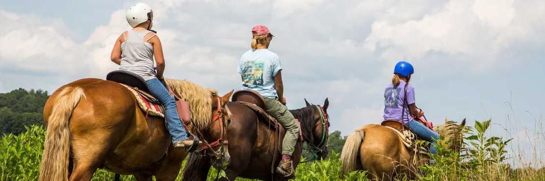
As part of this Master Plan, parking areas have been defined for expansion for the next 20 years. Defined parking areas help NCDPR manage impacts of human use. To avoid overuse and overcrowding, parking areas should be expanded as recreational facilities are built over the 20-year timeframe. This is important so it can be determined by a concessionaire if there will be enough visitors to support horseback riding, a small-scale food services such as a Grab & Go, or other concessions.
Offer flexibility. NCDPR should provide a level of flexibility to attract concessions to a new state park because it will be built out over years and the market demand for operating a business at the park is not clear or has not been established or created. NCDPR should consider offering a dual contract to a concessionaire that would allow them to run camping concessions, which is often seen as an attractive and financially sound offering, in addition to another type of concession that may be considered less marketable.
Start incrementally and start slow. To attract the types of concessions desired for the park, use a model that is attractive to a concessionaire. This may include a long-term time horizon and low fees charged to the concessionaire. NCDPR may also need to consider supplementing the concessions in the early stages to attract concessionaires and show there is a viable market. Once a viable market is demonstrated for the specific concession being offered, then NCDPR can update the agreement with every succeeding concessionaire.
Help manage risk. NCDPR should consider offering a dual contract to a concessionaire that would allow them to run camping concessions, which is often seen as an attractive and financially sound offering, in addition to another type of concession that may be considered less marketable.
Solicit interest. NCDPR can put out a Solicitation of Interest to receive feedback from concessionaires regarding different types of desired concessions within the park. This could include a statement of what the park is looking for and the vision for providing the opportunities for a concession.
Due to the history of the Pisgah View Ranch offering horseback riding and equestrian experiences over the 80 years the ranch was in operation, this master plan recommends for Pisgah View State Park to include some level of equestrian experience for visitors. The following is a summary of the region’s
concessionaires or stables that offer equestrian experiences in addition to horseback riding trails.
There are roughly 40 equestrian trails within Pisgah National Forest. In the Barnardsville vicinity of Pisgah National Forest’s Big Ivy area, and also within Buncombe County, there are high-elevation trails that form 16 miles of interconnecting loops and 10 designated campsites.
The following are some examples from Buncombe County, surrounding counties, and the region:
Brasstown Valley Resort & Spa has stables located at the resort in Young Harris, Georgia. This all-season resort offers horseback-riding experience and has stable services that range is a summary of the region’s concessionaires or stables that offer equestrian experiences in addition to horseback riding trails. The facilities include tack room, meeting room, and riding ring. There are 5 miles of trails, and they accommodate all experience levels.
Sandy Bottoms Trail Rides offers guided horseback riding on trails in Madison County, NC, 1 - 3 hours in length.
Smoky Mountain Trail Rides offers horseback riding on varied and rugged terrain near Marshall, NC in Madison County on a 550-acre property.
Biltmore Stable Horse Riding at Biltmore Estate offers a Western-style, 1-hour guided ride within Biltmore Estate located next to Asheville, NC, in Buncombe County.
Pisgah Forest Stables offers 3- to 8-mile trail rides lasting 1-2.5 hours and is located in Pisgah National Forest outside of Brevard, NC.
Rusty Spur Trail Rides offers guided horseback riding in DuPont State Recreational Forest located in Cedar Mountain, NC.
Jayell Ranch Family Adventure Park is a 250-acre ranch located in Sevierville, TN. They offer a 4-mile trail for a ride that last about one hour.
Five Oaks Riding Stables is a 70-acre property with options for two trail rides, each approximately 3.5 miles and typically lasting 1 hour.
Whitewater Equestrian Center located in Sapphire, NC, offers a 4-mile trail ride.
Big Rock Dude Ranch at Ponderosa offers horseback riding in Gatlinburg and Pigeon Forge, TN, with a trail that provides a 3.5-mile mountain ride and a view of the Great Smoky Mountains.
Saddle Up Trail Rides offers rides in the North Mills River and Turkey Pen areas of Pisgah National Forest, in Henderson and Transylvania counties, NC. The rides can range from 1 - 2.5 hours.
End of the Trail Riding Stables is a Native American-owned and operated stable offering trail rides on a Cherokee-owned and -operated stable offering trail rides on The Qualla Boundary in western NC.
Equestrian trails where you can bring your own horse:
DuPont State Recreational Forest has many miles of horseback riding trails ranging from easy to rigorous. Cedar Mountain Horse Camp has tie-ups and corrals. There is primitive camping and limited trailer facilities for overnight travelers within the park and several options outside of the park.
Tsali Recreation Area is located in Robbinsville, NC, with over 40 miles of trails open to horse and mule riders as well as camping within the Nantahala National Forest.
Great Smoky Mountains National Park has three to four concessions offering horseback riding stables in the park. They are located at Cades Cove Riding Stables, near Townsend, TN; Smokemont Riding Stables, near Cherokee, NC; Smoky Mountain Riding Stables (does not appear to currently be operating within the park) near Gatlinburg, TN; and Sugarland Riding Stables also near Gatlinburg, TN. There are roughly 550 miles of the park’s hiking trails open to horses. Horses are restricted to trails specifically designated for horse use within the park. There are five drive-in horse camps providing access to backcountry horse trails in the park. Camps are located at Cades Cove (Anthony Creek), Big Creek, Cataloochee, Round Bottom, and Towstring.
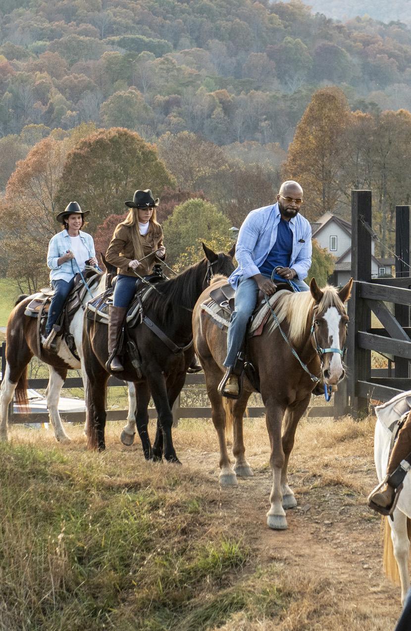
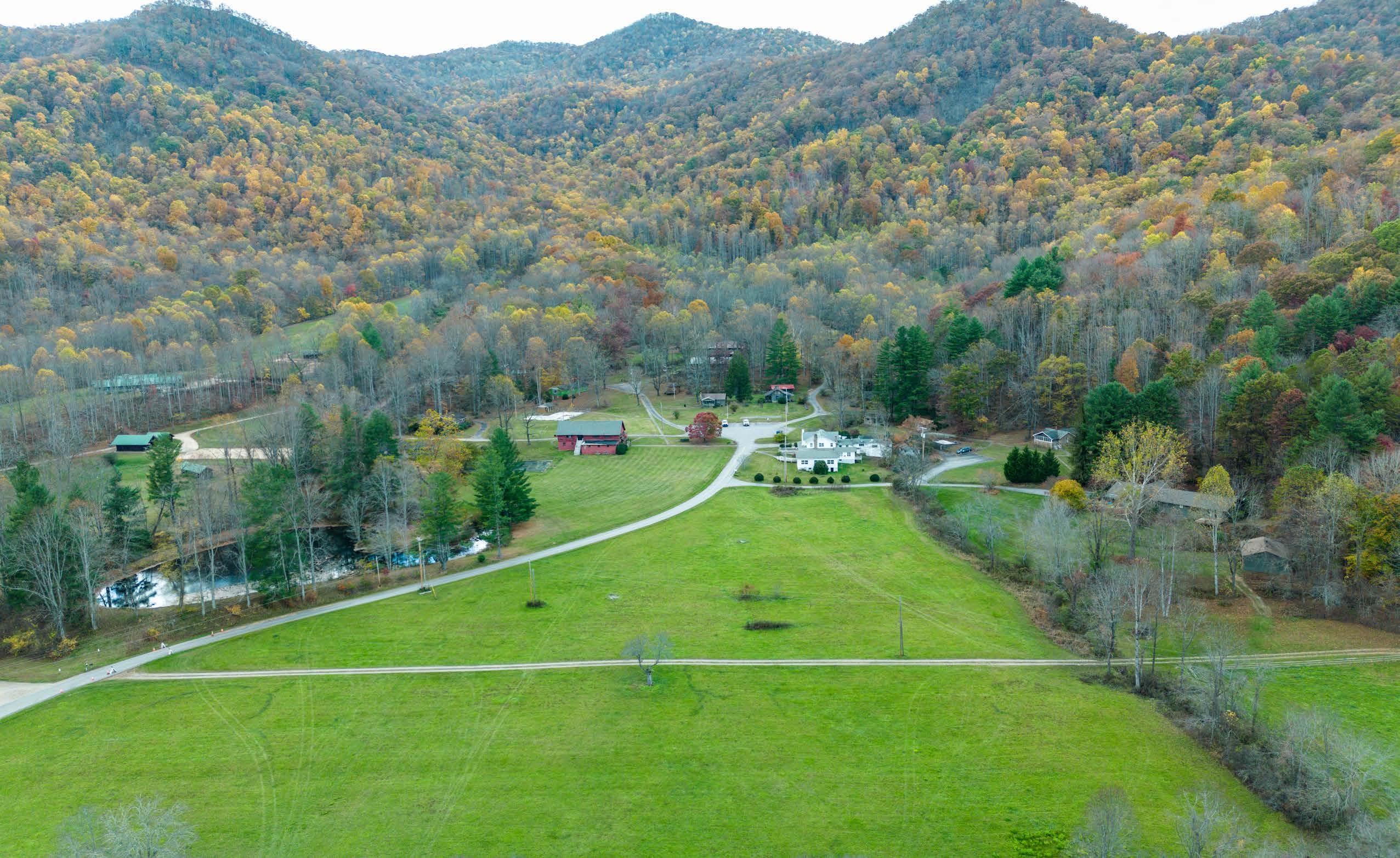
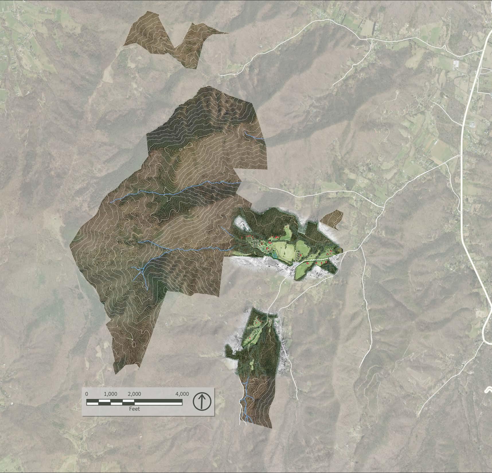
The focus of this master plan is on the frontcountry spaces, which are the most accessible, picturesque, and the most previously used and developable landscapes on the property. See detailed renderings on the following pages for both the North and South Frontcountry areas.
This map highlights the big picture and desired connectivity between both the front and backcountry, as well as the potential connections between disparate parcels to create a cohesive visitor experience.
Trail connectivity to the expansive backcountry areas will be an important part of the development of the park, as shown in this map and in the Trails Plan on pages 59-60. The backcountry areas in the northern parcel will be accessible to both hikers and equestrian users. The backcountry areas in the southern parcel will be for hiking only, due to the important sensitive ecological resources along the stream corridors.
Northern park entrance
Davis Creek Road, currently the only connection between the northern and southern parcels
Southern park entrance
Potential future connectivity
Future alignment or reroutes of backcountry trails, based on a thorough assessment of natural and cultural resources (see Trails Plan)
Clear circulation implemented throughout frontcountry day-use spaces
Potential future connectivity to outlying parcel
Implement clear wayfinding signage to direct visitors to park entrance from Highway 151
Potential backcountry camping in Lone Pine area
Potential backcountry camping in Sam’s Branch area
High-elevation destination for hikers
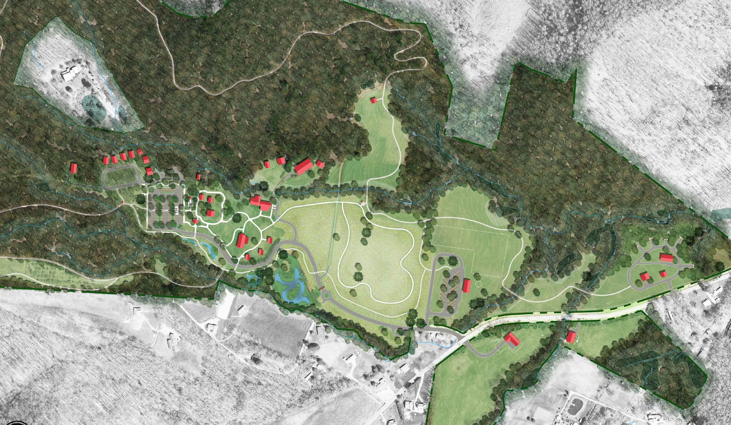
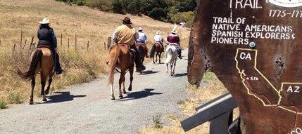
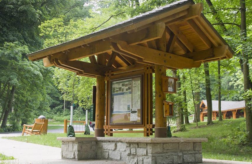
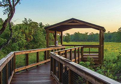
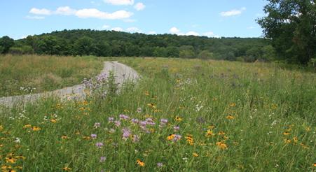
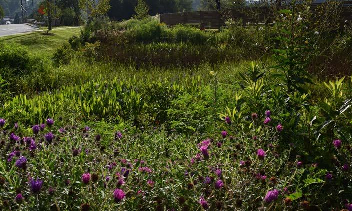
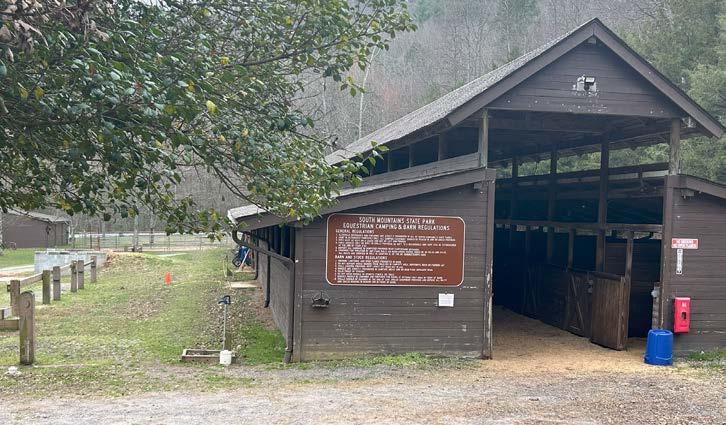
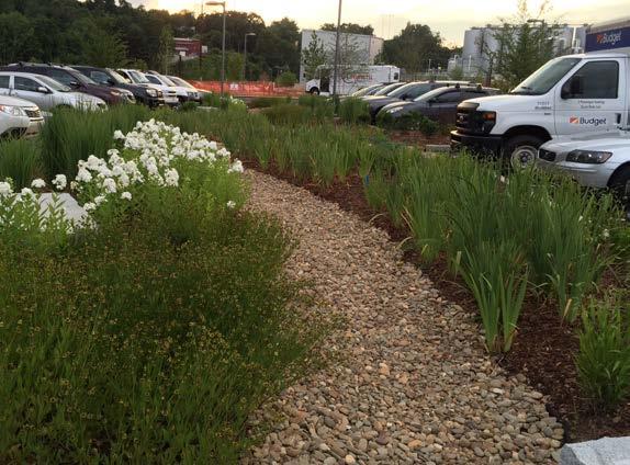
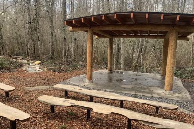
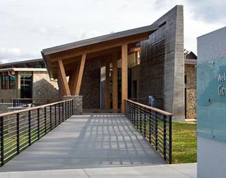
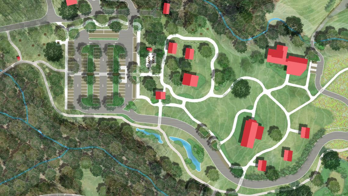
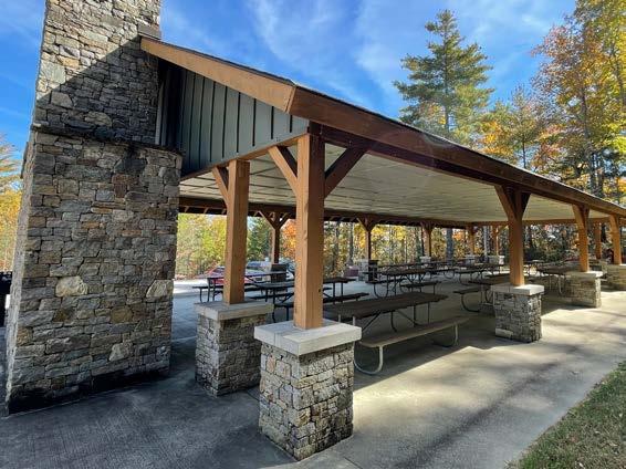

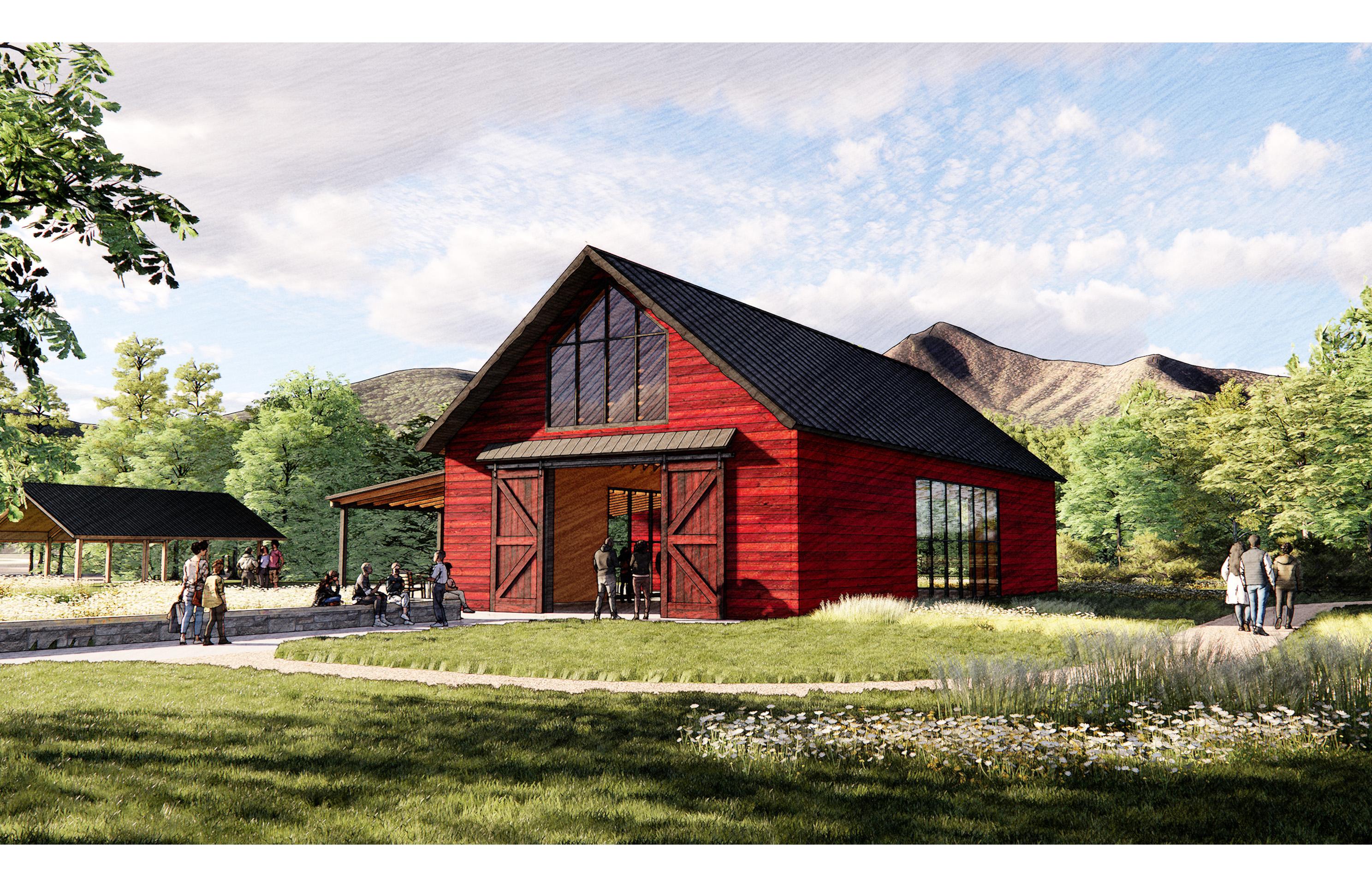

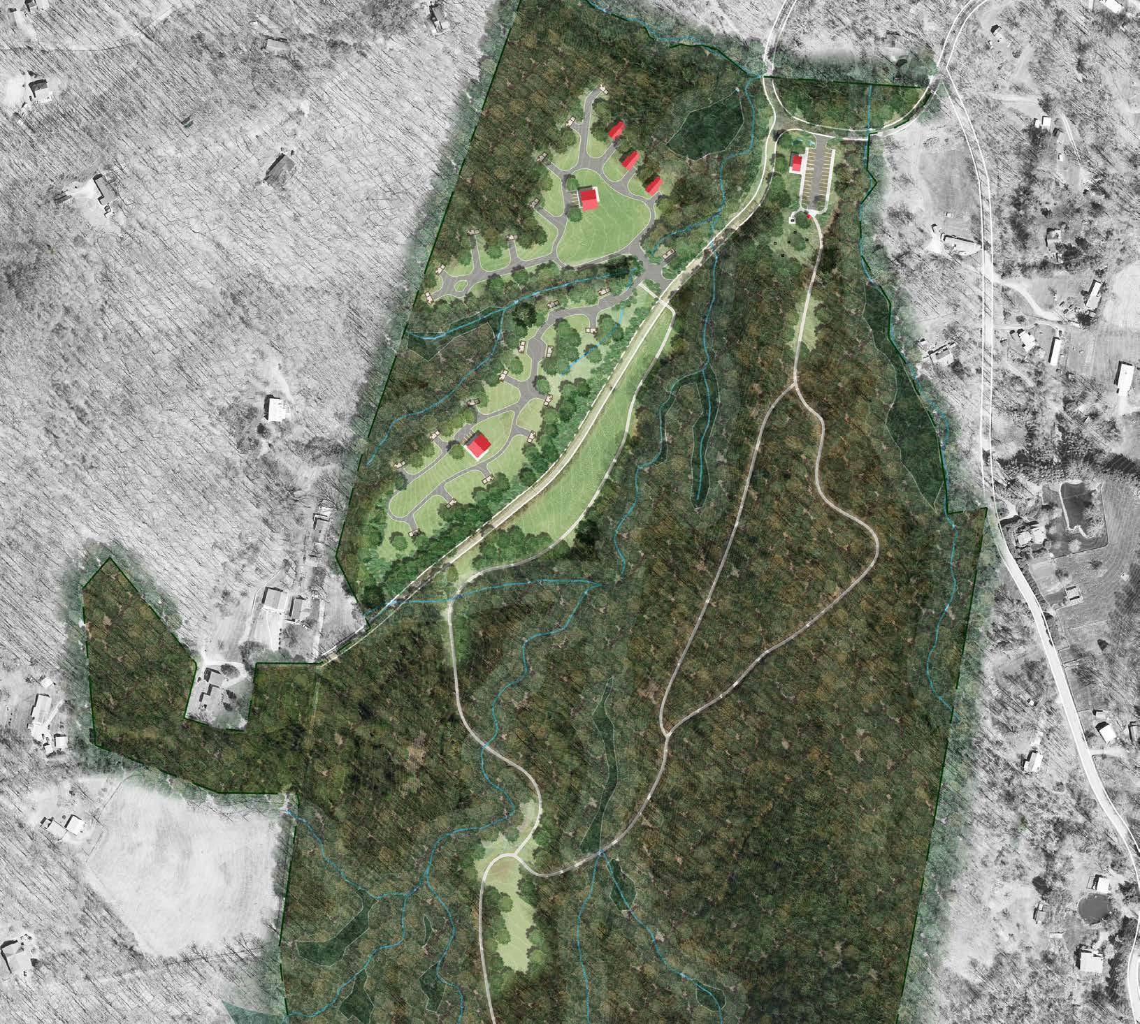
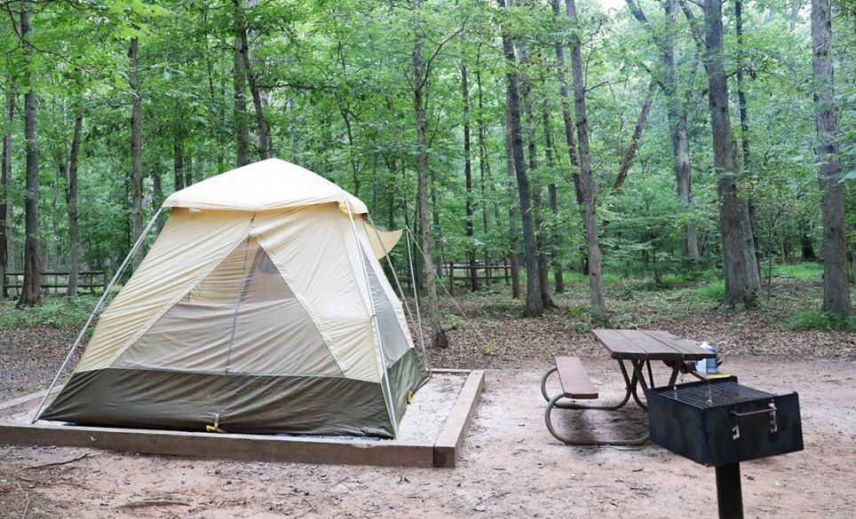
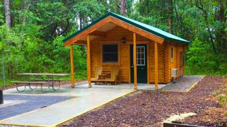
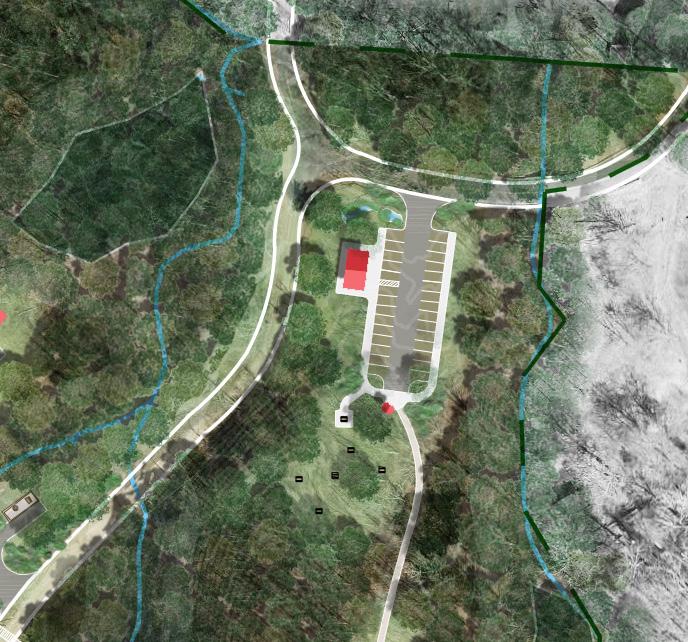
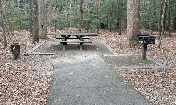
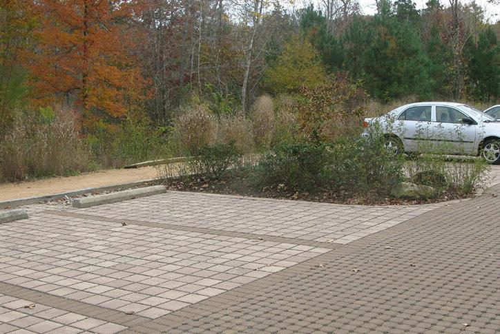
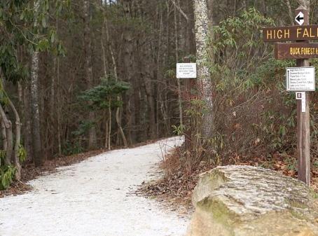


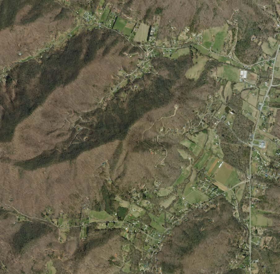
7-8 miles* 3-3.5 miles* 15-16 miles* 2-3 miles*


These existing trails are a legacy of the equestrian trails of Pisgah View Ranch. Much of the trails are adapted from older logging roads—typically at 10-14 feet wide. These trails are a historical memory for many visitors and provide immediate access to the backcountry. Some reroutes will occur to ensure sustainability.
A major desire of the public was for the provision of frontcountry trails that users of all abilities could enjoy. These trails are great for those less comfortable with a backcountry experience and will benefit families with younger children. These trails connect amenities in the frontcountry.
Another strong desire from the public (one of the top desired amenities for the entire park) was a sustainable trail system for equestrian and hiking. A series of new stacked trail loops may provide a variety of experiences, including natural community diversity, waterfall views, wildflower meadows, long-range views, and connection to backcountry camping. These new trails will follow sustainable design principles that will minimize impact to natural resources. Trail difficulty ranges from beginner level to moderate. In some cases, segments will be more advanced due to grade (like segments 207, 208, 214, and 220).
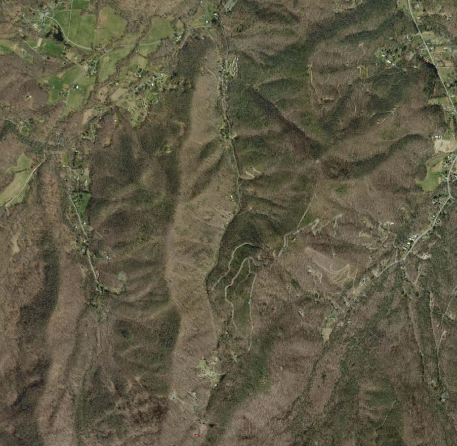
Regionally there is a need for trails that can serve as a gateway into backcountry-like experience that provide an ease of entry for those new to hiking. Many existing trails in the region are either immediately challenging or overused. These proposed trails provide a natural surface experience for beginner users to build confidence and enjoy nature.
These beginner equestrian trails offer an easy trail for new riders to try out horseback riding and travel between the proposed frontcountry equestrian campground and amenities. This provides an equestrian-only trail to minimize potential conflicts with other frontcountry trail users.
Certain portions of existing trails are proposed to be decommissioned and rerouted to meet more sustainable grades and design. This will also ensure sedimentation and other natural resources impacts are avoided.
Trail Mileage: 30-34*
(Note total trail mileage may vary and will be refined in future and more detailed design. See “Process for Design Implementation” )
Additional trail connections may be made through willing support from adjacent landowners. The “Future Trail Connection” arrows on the map indicate some of the desired longer-term connections that the community and partners expressed they would like to see.


Connection to Chestnut Mountain Nature Park, which is managed by the Town of Canton, has been proposed in the Haywood County Greenway Master Plan. The town supports the connection. There are about 5-6 miles of trail needed to connect Pisgah View to the park.
An envisioned trail connection to Mount Pisgah (and Pisgah National Forest) and the statewide Mountains-to-Sea State Trail (MST). There is about a 3-3.5 mile trail connection to reach Mount Pisgah and access the existing 1.5-2 miles of trail to connect to the MST. These future connections would require cooperation with surrounding landowners but could create better connectivity for the entire park.
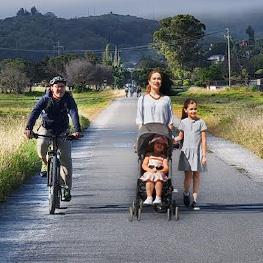
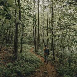
• 8 foot paved trail, 4 foot crushed stone shoulder for equestrians; trails in floodplain may require additional surface hardening or deeper subsurface excavation
• Grade does not exceed 4.9% in steepness and 2% cross slope
• Beginning to more advanced
• 3 foot -4 foot wide natural surface trail
• Average grade of trail is less than 10%, but typically between 5-8%
• Newly constructed trails following sustainable trail guidelines and legacy trails improved with sustainable design techniques
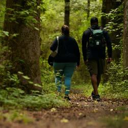
• Entry-level singletrack designed with wide, easy turns and gradual climbs; intended for child and adaptive wheelchair use
• Average grade is less than 8%
• Newly constructed trails following sustainable trail guidelines and legacy trails improved with sustainable design techniques
• Can accommodate equestrian use for a future connection to rest of park
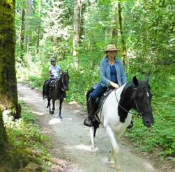
• Easy trail for beginner equestrians to practice
• Provides access to amenities in the frontcountry
• 4 foot -8 foot wide trail comprised of crushed stone, ensuring the trail surface stays intact and improves drainage
Good trail design and construction practices can protect park visitors; preserve the environment; and provide a profound connection to nature. However, poor design can lead visitors into harm; degrade the environment and the visitor experience; and sever connection to the natural world
North Carolina State Parks takes care in designing and constructing any new trails. The trails in this master plan will follow the below process in the future:
The division completes an internal evaluation for the need and the availability of funding for the new trail. This evaluation includes a justification and a map of a potential route for the new trail that is developed by a regional trails specialist.
If the trail proposal is approved, then the trails specialist uses GIS to map a sustainable alignment for the proposed trail on the computer. This alignment includes feedback gained during the internal evaluation. The trails specialist lays out a sustainable trail corridor on the ground—paying attention to the rules of sustainability and using tools to measure grade.
Once the corridor is designed, other staff, including the park superintendent, regional biologist, and environmental review coordinator walk the alignment and work with the regional trails specialist to make any necessary changes.
Once constructed, the regional trails specialist and park staff review the completed trail and record its final location with GPS. This GPS track will be included in the GIS database of all park trails. Once the trail is constructed, it is not opened for use until it has had time to naturally compact — ideally through a couple of rain events. After the trail is opened, periodic maintenance is essential to trim vegetation, move downed trees, deberm, and look for any signs of erosion or new hazards.
Maps developed for this document depict important defining characteristics of the tracts of land that compose Pisgah View State Park, such as slope, conservation areas, and riparian buffers. Merging this information can provide insights to understanding the areas of vulnerability. In the mountainous region of western North Carolina, planning for resiliency is foundational to good design. As storms increase in severity, wildfires become more prevalent, and the climate generally continues to change, it is becoming more important to design more resilient landscapes that can withstand and recover from these extreme occurrences. The region is not only home to thriving towns and communities, but it is also composed of diverse ecosystems and invaluable natural resources. With the increasing unpredictability of climate patterns and the mounting threats of extreme weather events, proactive planning becomes critical. By prioritizing resiliency, communities can mitigate risks associated with floods, wildfires, and other environmental hazards, ensuring the safety of residents and the sustainability of mountain habitats. Moreover, resilient planning strategies foster economic stability by safeguarding vital infrastructure and supporting industries such as tourism, one which is deeply intertwined with the region’s identity. Through collaborative efforts and innovative approaches, western North Carolina can effectively navigate the challenges of today and prepare for a more resilient future.
For this resiliency overlay, the key focus areas are storm intensity, wildfire, and biodiversity. Due to the project location, context of the site, and intended uses, these were identified as some of the most important factors to consider for the long-term resilience of this park.
As climate transforms across the globe, local weather patterns also change. In western North Carolina, this is increasingly seen as more intense thunderstorms, high winds, and extreme precipitation events. According to the 2020 North Carolina Climate Science Report, many of these weather patterns are “likely” or “very likely” expected to increase. In 2021, Tropical Storm Fred caused significant damage to parts of western North Carolina due to severe flooding from the extreme precipitation before and during the storm. Three years later, many communities are still working to recover physically and financially. Stormwater control and flood resiliency measures are key to developing sites to withstand these inevitable events, and this is an important step toward a resilient landscape.
From 1990 to 2016, the North Carolina Geological Survey (NCGS) responded to more than 175 requests for assistance on landslide events from government agencies, the public, and consultants. NCGS geologists have since investigated over 200 landslides in the Blue Ridge Mountains of western North Carolina. With the expected increase in extreme weather we will likely see more of these types of landslide events throughout the region. Landslides and debris flows usually happen where they have happened before, and much of the land within Pisgah View State Park contains evidence of these events. Active monitoring and mapping of prior landslide events helps identify areas where they could happen again.
Programs like the North Carolina Historic Resources Preservation Office have studied past natural disasters and established a set of guidelines for resilient design. While these are primarily related to building preservation, many of the suggestions are applicable to Pisgah View State Park.
Fire has long been a part of the dynamics of the mountain landscape, from naturally occurring wildfires that allow forests to regenerate and promote their succession to anthropogenic uses of fire as a management strategy. It can still be used today as a management strategy through the use of prescribed or
controlled burns. Today, these burns are being used in some places by NC State Parks through intentional and careful collaboration with State, Federal, and non-governmental partners to help regenerate and promote the resilience of certain ecosystems like our local oak forests that depends on occasional fire to encourage growth of grasses and wildflowers and help regenerate oak trees. However, in decades past, fire has been suppressed, meaning natural forest fuel is left unburned and unmanaged. This, in combination with a changing climate elevates the rise of more frequent and severe wildfires. According to the NC Climate Science Report, drought conditions are expected to increase and annual average temperatures are projected to increase by around 2 to 5 degrees Fahrenheit by the middle of the century. Between 2009 and 2018, scientists observed the warmest decade in history for the state of North Carolina. As seen increasingly in western states, rising temperatures combined with drier conditions can increase the likelihood of fires. To help people prepare their homes for fire safety, the National Fire Protection Association created the Firewise USA program to provide guidelines for people and communities at risk of fire. These not only establish boundaries immediately around the house, but also give suggestions for zones 100 feet or more from the house, which can be valuable for the vast forest condition of Pisgah View State Park
A resilient landscape also means fostering space for the variety of flora and fauna that are native to this region. Recent studies by Western Carolina University and the Highlands Biological Station have revealed that the Southern Appalachians host more than 100 native trees, 1,400 other flowering plants, and 500 moss and fern species; over 460 arachnid species, 230 species of millipedes, and over 100 mollusk species; and over 30 species of salamanders. The region is also home to many endemic species that occur nowhere else in the world, many of which are uncommon, rare, or endangered. This collective biodiversity helps shape the region’s ecological identity and is inherently valuable, and therefore worth sustaining.
The diverse landscape of Pisgah View State Park offers a wide range of intact, natural refuge for many of the aforementioned species, but also contains significant areas that are fully converted from their natural land use or are intensively managed. However, there are ways that the park can increase or augment its capacity for biodiversity that would create a more resilient space.
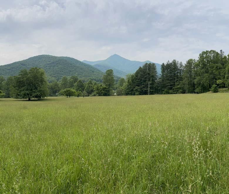
Resiliency via biodiversity begins with preserving intact ecosystems wherever possible to prevent their degradation and promote the conservation of important species and habitats. With recent changes in U.S. Department of Agricultural Plant Hardiness Zone Map, large land tracts such as Pisgah View State Park can potentially allow for species movement and migration of plant species to higher elevations within the park. For places where outright preservation is not feasible but where some conservation is possible, resiliency means striking a balance between the built and the natural environment, which can be achieved in a variety of ways. For example, evaluating reference ecosystems and emulating their species composition and structure in design helps to support native systems and soften lines, encouraging healthy environments and connectivity of the landscape. For the other places that have been completely converted from their original condition and will be managed that way indefinitely, resiliency can mean creating habitats, such as constructed wetlands and pollinator meadows, where they may never have originally existed to support species with specific life cycle requirements, such as monarch butterflies. In all of these cases, invasive species management is critical. Without it, the intended natural ecosystems are forced to compete rather than flourish, become more biodiverse, and adapt to climate change because of inherently balanced conditions.
Overall resiliency in a landscape can be achieved through careful planning, the implementation of thoughtful design solutions and continued management With respect to the three focus areas for Pisgah View State Park, there are a variety of things that can be integrated into each of the three steps in a design process that can help achieve a more resilient outcome for the park.
The three steps in a design process are color coded throughout this section as shown below:
The map at the end of this section shows how these considerations can be integrated into the master plan for the park.
Below is a list of considerations for these three focus areas that can be implemented at Pisgah View State Park to achieve a more resilient landscape.
Focus development in high-use areas indicated through the suitability analysis, which responds to various qualities including slope analysis and soil conditions. Identify areas of forest that may be particularly vulnerable to extreme storms.
Place site buildings and other structures in areas of minimal risk (i.e. below or around healthy trees, on stable ground not prone to erode).
Clear trees that pose a threat to other resources or infrastructure. Identify and mitigate areas of erosion and landslide risk
Consider the buildings located in floodways or how floodable areas can be incorporated into the function of the landscape.
Design bridges and culverts to appropriately handle large storm events.
Identify any changes to the system, such as beaver dams, and monitor for extended flood impacts.
In the planning phase, minimize areas planned with impervious surfaces.
Utilize porous pavers and other permeable surfaces in place of impervious hardscapes where possible.
Keep permeable surfaces clear of debris to promote infiltration and proper functioning.
Locate buildings and other features within the context of the site’s hydrology, reserving spaces for low-impact development incorporation.
Design stormwater control measures for more extreme storm events.
Regularly maintain stormwater control measures for proper infiltration and flow.
Natural community types have been identified and will continue to be assessed for health and level of fire tolerance or dependence.
Develop a collaborative fire management plan that addresses the ecological need for fire and necessary wildfire response on the property.
Conduct controlled burns where suitable to reduce the risk of severe wildfire and promote resilient and healthier forests.
Identify areas suitable for structures based on proximity and condition of forest. Determine improvements required for existing structures.
Clear brush, limbs, and other flammable debris as needed around buildings, campsites, and other gathering areas to maintain safe distance based on Firewise guidelines. Avoid landscaping with flammable/fire dependent species and choose fire resistant construction materials in facility designs.
Conduct regular maintenance to ensure minimal flammable debris and material is within the suggested clear zones.
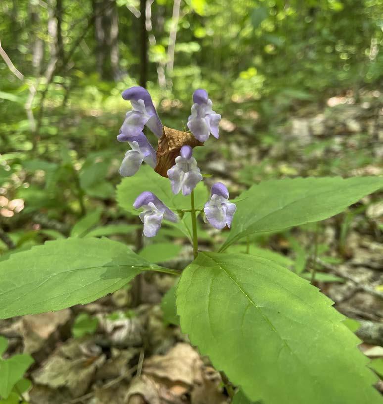
Protect and enhance wildlife and native plant communities. Study wildlife migration and movement patterns. Plan for spaces to create or augment habitat for wildlife (e.g. pollinator meadows, constructed wetlands, successional forests).
Limit access to high-priority areas to help maintain undisturbed communities. Identify and provide habitat for native species known to migrate through this area. Create areas of safe passage for wildlife (e.g. wildlife passage culverts).
Promote habitat diversity (e.g. open space, successional and transitional areas, intact versus undisturbed). Consider reestablishing culturally and ecologically significant keystone species and systems.
Remove and treat invasive species to promote healthy native communities. Protect and monitor populations of rare plants known to occur onsite. Utilize management strategies that emulate natural processes such as fire.
Determine areas within flood zones that are suitable for riparian enhancements and limit human access where possible.
Utilize bottomless culverts for healthy streambeds. Enhance streambeds with native vegetation.
Clear debris from floodways regularly. Ensure native vegetation is not becoming overwhelmed by invasive species. Address erosion promptly.
Focus development to central areas to reduce the need for excess sidewalks or parking areas and reduce impacts on native habitat.
Identify opportunities for wildlife crossings, such as culverts for salamanders below the road. Incorporate shade to reduce heat island effects that could create harmful microclimates.
Keep any wildlife crossings clear. Replace vegetation around pavements as needed to maintain shade and cooling effects.
Locate low-impact development features and stormwater control measures to bridge gaps between major ecological areas on the site by creating habitats alongside human-made features.
Incorporate native plantings into low-impact development features and stormwater control measures to attract pollinators and birds.
Prune vegetation and weed as needed to prevent overgrowth.
References
National Fire Protection Association. (2022). Band Together: Firewise USA Program Toolkit. https://www.nfpa.org/-/media/project/storefront/ catalog/files/firewise/band-together/firewise_band_together_toolkit.pdf
Kunkel, K.E., D.R. Easterling, A. Ballinger, S. Bililign, S.M. Champion, D.R. Corbett, K.D. Dello, J. Dissen, G.M. Lackmann, R.A. Luettich, Jr., L.B. Perry, W.A. Robinson, L.E. Stevens, B.C. Stewart, and A.J. Terando, 2020: North Carolina Climate Science Report. North Carolina Institute for Climate Studies, 233 pp. https://ncics.org/nccsr
Leimenstoll, Jo Ramsay: Resilience Design Standards: Model Standards for North Carolina’s Historic Properties. In Historic Resilience Project. https:// hrp.sog.unc.edu/wp-content/uploads/2023/10/HRP_DesignStandards_ Web_2023-10-26.pdf
The resiliency overlay map on the next page shows how the elements listed above in the three focus areas (storm intensity, wildfire and biodiversity) can be overlaid on a plan to inform planning, design solutions, and management of the Pisgah View State Park. This is an example overlay that can be applied across the park landscape.
Legend
Forest Edge
approximate existing and proposed forest edge
Forest Management Area forested area within and adjacent to park boundary
Fire Boundary approx. 30 foot boundary based on Firewise USA guidelines
Flood Zone - 100 feet suggested as minimum area to protect and limit development
Flood Zone - 200 feet recommended area to protect and limit development within

Flood Zone - Wetland wetland within flood zone
Impervious Area
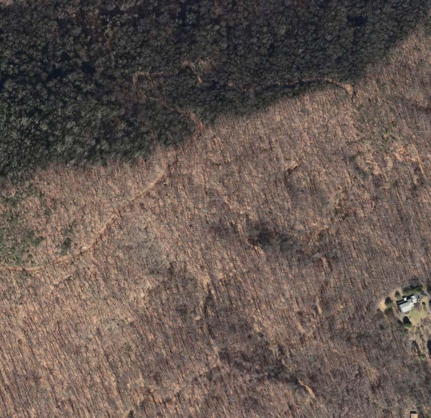
hardscape/paved surface; opportunity to consider lowimpact development (LID) of or around these surfaces

Stormwater Control (SCM) opportunity to implement stormwater control measures for runoff and flood events


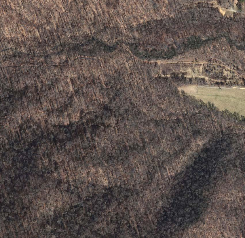
Biodiversity Focus Area based on conservation areas established for property as well as anticipated meadow habitat
Wildlife Corridor example opportunities for increased connectivity between biodiversity focus areas
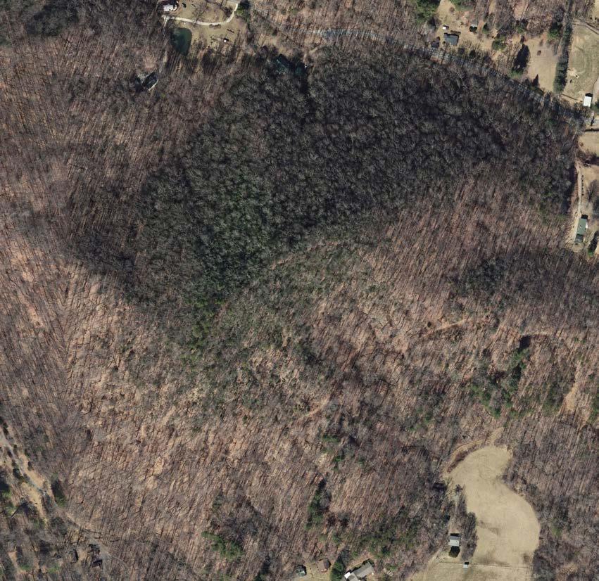


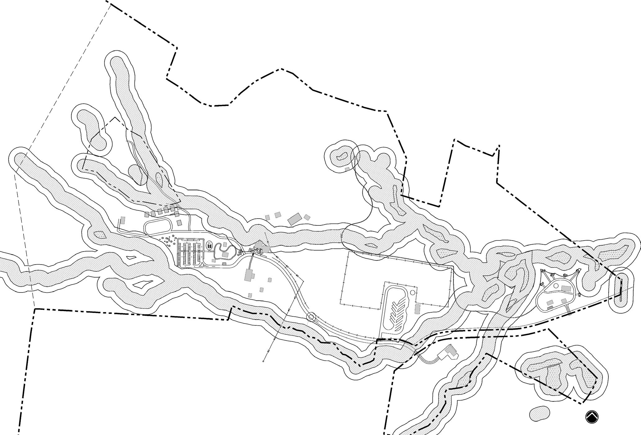

Overall recommendations for Pisgah View State Park are listed across the following pages and are grouped by specific themes. Note that these are to be implemented throughout the development of the park. See the Phasing Plan on pages 69-73 for the order of implementation for certain recommendations.
Engage the Tribal Historic Preservation Offices of the five federally recognized tribes with ancestral ties to Buncombe County in all efforts to survey and interpret historic or archaeological resources.
Complete an initial archaeological survey by an experienced archaeologist and coordinate with the State Historic Preservation Office.
Complete comprehensive archaeological survey prior to any development.
Complete a Historic Structure Survey Report to inventory buildings, structures, and landscape features.
Consider interpretation of these aspects of the property after a thorough understanding and recording of the existing resources.
Existing overhead lines obstruct views. It is recommended that all overhead lines be buried on site. Haywood EMC can bury the lines, or otherwise NCDPR can.
Install a new septic system for all buildings and campgrounds to be used and decommission the existing and aging septic fields.
Emergency services equipment needs replacement, including radio repeaters on nearby fire station tower.
Wells and wellhouses require upgrades.
In the North Frontcountry, work with NCDOT to improve visibility at the intersection with Davis Creek Road, and install traffic circle and gate on Pisgah View Ranch Road.
Use wayfinding and interpretation to tell the story of the land, connect with nature, and make exploration accessible:
• Create a wayfinding plan. As the park properties are not currently contiguous, directive signage and wayfinding is imperative. Integrate signage to direct visitors to and through the frontcountry areas and provide a pull-off area for visitors to quickly orient themselves to the park lands and available amenities. Include trailheads and consistent trail signage in backcountry experiences.
• Illustrate a variety of interpretive themes. There are ample opportunities for interpretation in the park. NCDPR is adept at interpretation of the natural world, and this park has much to interpret with respect to natural systems and biodiversity. The park also hosts a rich cultural history that can be interpreted and made apparent to visitors who might not initially be aware of this history.
Provide opportunities for education that is accessible to all visitors, such as interpretive trails.
Protect scenic viewsheds as this is one of the most unique assets of the property.
Include planted buffers around park housing (temporary and permanent) to hide structures from high-use visitor areas and from scenic viewsheds.
Include cultural heritage trail(s) and universally accessible trails.
Clearly demarcate trail typologies and allowed use (hiking, equestrian, or both).
Provides a space for people to connect with nature through conservation, education, and recreation
Provides diverse recreational opportunities
Contains thoughtfully designed facilities that honor the past while looking towards a resilient and sustainable future
Protects natural, cultural, and viewshed resources
Connects people to regional resources
With planned upgrades to existing structures and construction of any new facilities, consider physical barriers including:
• Trails around gates
• Steps and curb cuts
• Inaccessible or incomplete signage
• Trail and surface degradation
• Roots and rocks on trail
Provide clear information about what is and is not accessible at the park.
Provide accessible amenities “close” to other amenities, not isolated from other spaces.
Provide adaptive equipment to make access universal for all.
Provide trailhead signage and maps in other languages.
Continue training for park staff.
With planned upgrades to existing structures and construction of any new facilities, consider social and institutional barriers:
• Make descriptions and photos of what is accessible available on many platforms and easy to find.
• Consider working with Buncombe County on public transportation opportunities.
• Think experientially instead of focusing on individual features.
Engage advocates and organizations, volunteer organizers, and consultants with experience to provide feedback before and during project design.
With planned upgrades to existing structures and construction of any new facilities, consider psychological and visual barriers:
• Consider differences in perception of public spaces and provide a variety of places comfortable for different user groups.
• Consider fear of wild outdoor spaces in areas to be maintained. Maintain clean and manicured edges around wilder restoration or heavily vegetated areas. This can indicate a landscape is well cared for and meets expectations for maintenance, reducing fear of outdoor spaces.
• Consider visual connections throughout the park.
In accordance with the North Carolina Native Plant Policy (Section 6 of Exec. Order No. 305, 2024), plan to include ecologically appropriate native plants in any planned upgrades or restoration effort; utilize species that occur within the park to emulate local ecology.
Treat stormwater runoff from existing and new impervious surfaces. Use innovative stormwater treatment around impervious surfaces such as parking lots and buildings.
Use Low-Impact Development (LID) techniques to minimize impacts from infrastructure development.
Design and construct facilities to be energy efficient.
Place plants properly around heated or air-conditioned buildings to minimize building energy use.
Reduce the urban heat island effect in parking areas using plantings to increase canopy coverage.
Utilize Firewise landscape design.
Minimize nighttime light pollution to reduce impacts to bats and other nocturnal fauna.
Implement design strategies to enhance resiliency of the park to flooding, fire, and threats to biodiversity.
For new trails, utilize modern sustainable trail building practices.
Provides a space for people to connect with nature through conservation, education, and recreation
Provides diverse recreational opportunities
Contains thoughtfully designed facilities that honor the past while looking towards a resilient and sustainable future
Protects natural, cultural, and viewshed resources
Connects people to regional resources
Develop a resource management plan. There are many resources within the landscape that can be restored. A written plan for the park’s lands can assist in ensuring that these resources are well taken care of in perpetuity. This plan can include the following:
• A fire management plan incorporating both prescribed fire and wildfire response will be developed collaboratively by NC State Parks, the NC Forest Service, US Forest Service, local fire departments, and land conservation organizations.
• Limit lighting at night to minimize light pollution and allow dark-sky viewing.
• Protect and restore biodiversity and ecological habitats:
• Protect and monitor rare plant and animal populations. Several rare species exist on the property. Make the monitoring of these populations a part of the stewardship plan. Keep public access away from these areas.
• Manage invasive species. It is apparent that invasive species are present throughout the park property. Assess these populations and create a plan to contain and remove them.
• Minimize mowing. Because much of the frontcountry viewsheds contain vast pastures and meadows, mowing may be a part of the maintenance regime. Reduce mowing/groundskeeping regimes and associated fossil fuel use/emissions by converting some areas to pollinator meadows. Consider electric-only grounds maintenance equipment. Consider prescribed burns in place of mowing. At a minimum, do not use equipment with two-stroke engines.
• Steward existing wetlands. The park contains multiple stream and wetland complexes, as well as several montane seeps. The north frontcountry is host to a beaver-created wetland that contains a great deal of biodiversity. Ensure these spaces are protected from impact and a healthy riparian buffer is maintained.
• Incorporate BearWise practices throughout the park to help protect bears and visitors.
Work with local organizations to help communicate with the local community and to engage them in volunteer opportunities at the park. Some examples of local organizations are:
• Buncombe and Haywood counties
• Local residents
• Friends of Pisgah View State Park
• Carolina Mountain Club
• Back Country Horsemen of Pisgah
• Local land trusts including Southern Appalachian Highlands Conservancy and Conserving Carolina
• University of North Carolina Asheville and Western Carolina University
• Muddy Sneakers
• Blue Ridge Parkway Foundation
• Eastern Band of Cherokee Indians
• YMCA
• Waypoint Adventure
• Astronomy Club of Asheville
• Local school programs
Place signage along property boundaries to protect private properties.
Maintain consistent communication with neighbors and local community through relationships with park staff.
Host events at the property and invite the local community.
NC State Park Goals Achieved Through These Recommendations:
Provides a space for people to connect with nature through conservation, education, and recreation
Provides diverse recreational opportunities
Contains thoughtfully designed facilities that honor the past while looking towards a resilient and sustainable future
Protects natural, cultural, and viewshed resources
Connects people to regional resources
Recommendations
Phase infrastructure improvements so enhancements are manageable for current park staffing.
Increase staffing and budget as phases of implementation occur.
Work towards securing additional park staff housing near the park, but not in central public use areas.
Cultivate partnerships with local organizations to engage volunteers and to assist with community outreach.
Consider emergency access with park operations:
• Establish internet utility on site or make note of where internet or cell phone reception is available.
• Ensure first responders have access to the gated entrance or locked facilities.
• Maintain roadways in frontcountry for emergency access and turnaround. This includes keeping roadways clear of debris and inhibiting rogue parking on high-use days.
• Install clear wayfinding for park visitors that explains what to do in emergency situations.
• Maintain and keep ATV and rescue litter accessible for backcountry emergencies.
Consider a procedure to close when parking lots reach capacity. This includes installing a gate and signage.
Utilize reservations system for picnic shelters, event barn, camping facilities and cabins.
For traffic concerns from Hwy 151, consider a way to let people know the park is at capacity before they turn onto Davis Creek Road.
Explore trail connections to adjacent public recreation lands to spread out trail use into other managed areas.
Provides a space for people to connect with nature through conservation, education, and recreation
Provides diverse recreational opportunities
Contains thoughtfully designed facilities that honor the past while looking towards a resilient and sustainable future
Protects natural, cultural, and viewshed resources
Connects people to regional resources
• Coordinate with the NC SHPO on a structural survey.
North Frontcountry:
• Install entrance sign, roundabout, and gate to allow for park to open and close as needed and develop waste collection station. Page 70 –
• Construct Mary’s Loop Trail, viewing platform and trailhead. Page 70 –
• Construct temporary trailhead parking lot in future equestrian day use parking area. Page 70 –
Prioritize these for initial public opening
• Focus on rehabilitating existing structures for temporary and permanent housing and offices for staff. Page 70 – , 71 –
• Install additional fencing as needed.
• Install orientation pull-off with kiosk to guide visitors upon arrival. Page 70 –
• Complete demolition of buildings and structures that are safety risks.
• Build out the new maintenance facility. Page 70 –
• Upgrade emergency services.
South Frontcountry:
• Construct parking area, restroom facilities, and trailhead. Page 72 –
• Build day-use picnic area. Page 72 –
• Construct one trail loop. Page 72 –
Backcountry:
• Repair and reroute high erosion and landslide sections along existing backcountry trails.
North Frontcountry:
• Remove unnecessary existing paved areas throughout central core.
• Renovate and rehabilitate buildings to be used for new purposes:
• Rehabilitate Ranch House for use as offices, restrooms, and visitor contact station. Page 71 –
• Construct new entrance road alignment to avoid central core. Page 71 –
• Build large parking area. Page 71 –
• Build picnic area & backcountry trailhead. Page 71 –
• Build new Event Barn with restrooms. Page 71 –
• Renovate cabins for rentals. Page 70 –
• Build one picnic shelter. Page 71 –
• Construct equestrian day-use area. Page 70 –
• Construct accessible paths in core area. Page 71 –
• Restore native meadow and add trails. Page 70 –
South Frontcountry:
• Build out the campgrounds to draw more visitation. Page 72 –
• Continue to build out trail loops in naturalized areas. Page 72 –
Backcountry:
• Continue to develop or reroute trails in the backcountry.
North Frontcountry:
• Build outdoor classroom. Page 71 –
• Establish green infrastructure associated with the parking and paving, including conversion of the pond to a stormwater wetland. Page 71 –
• Build visitor center addition to the Ranch House core, including new interpretive area. Page 71 –
• Implement final pathways and plantings in central core.
• Build remaining picnic shelters. Page 71 –
South Frontcountry:
• Continue to build out trail loops in naturalized areas. (pg. 72–10)
North Frontcountry:
• Develop equestrian campground and equestrian trail connection to central core. Page 71 –
• Finalize interpretive signage along trails.
South Frontcountry:
• Construct hiking-only trail system. Page 72 –
Backcountry:
• Develop backcountry camping areas .
• Finalize all trail connections. Page 70 –
** Additional phases to be added if additional land is acquired for the park.
The following three pages display the recommended phasing of the upgrades that have been proposed in this master plan, using the color-coding of each phase shown on this page.
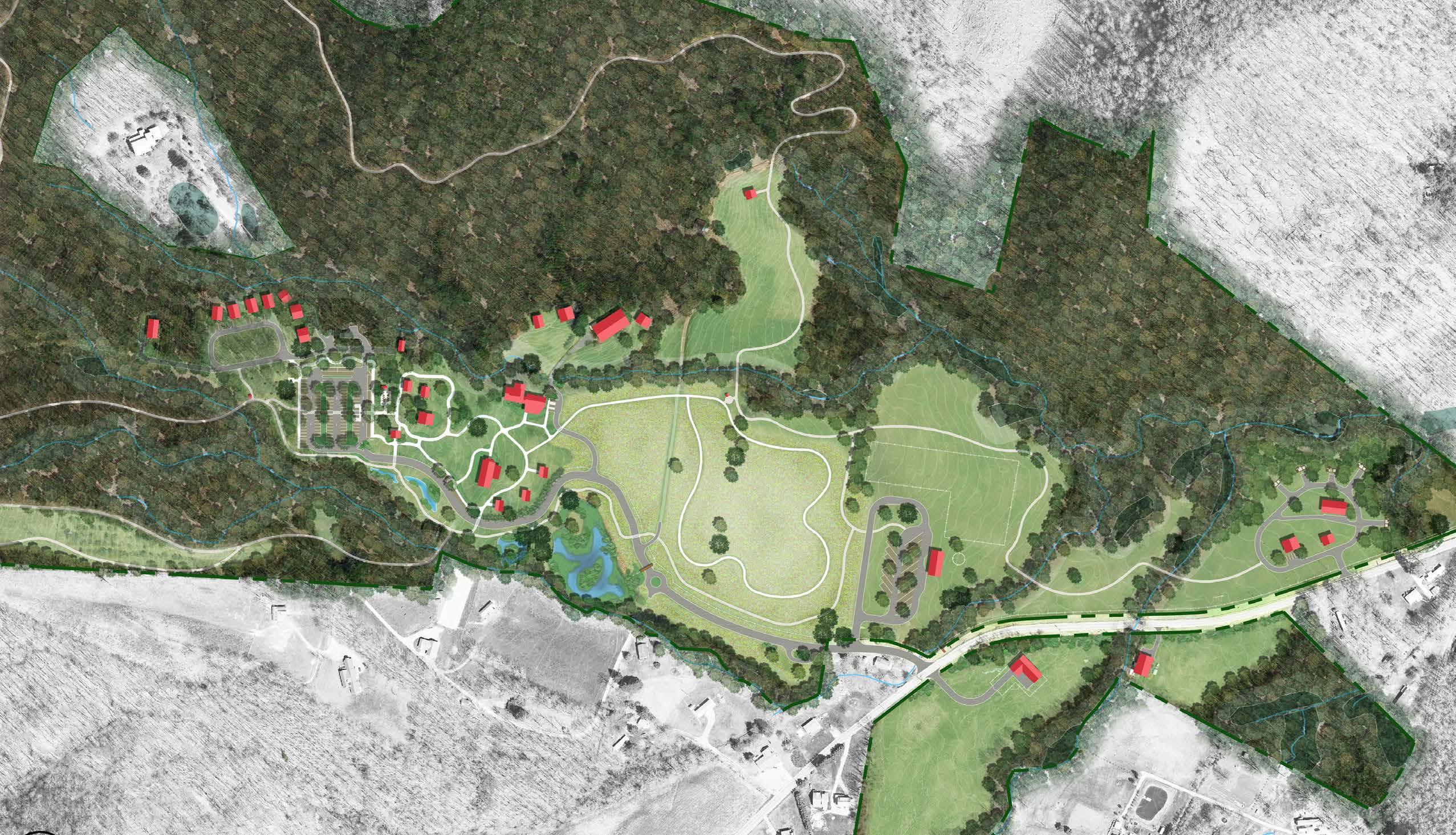
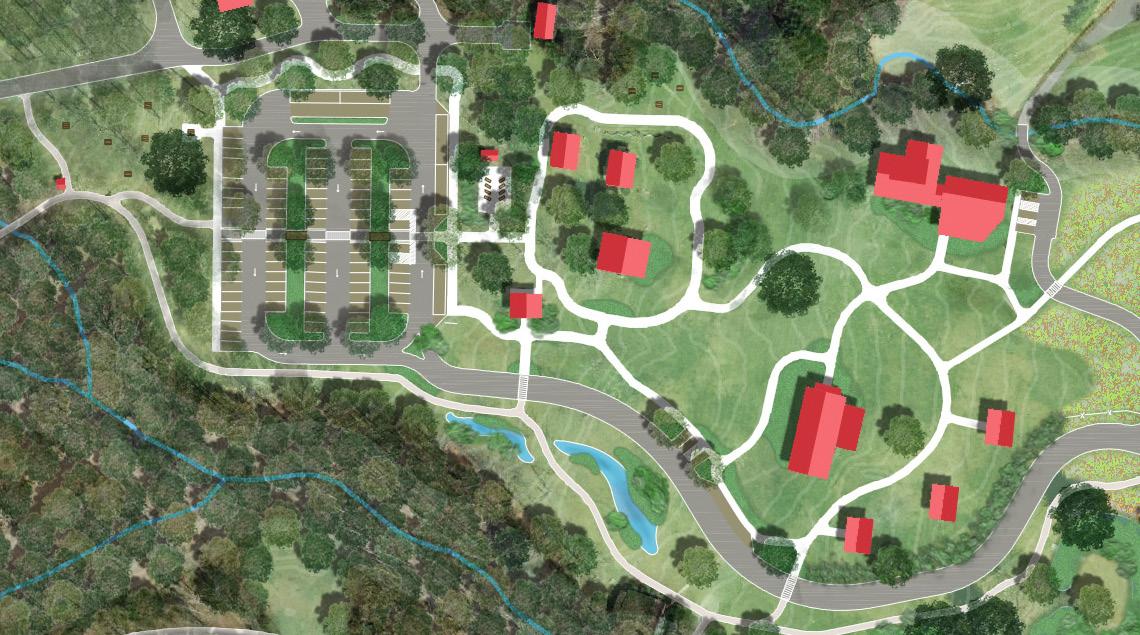
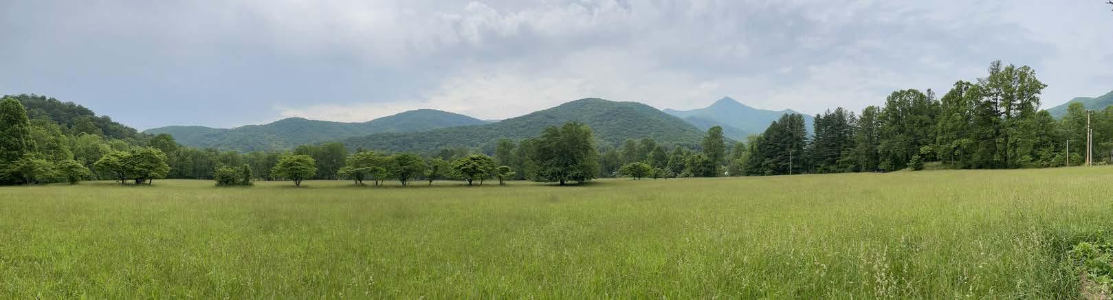
Backcountry trailhead kiosk Bus parking
picnic area
Green infrastructure islands
(73 spaces)
Accessible path with educational features Temporary office (Sunrise House)
Accessible path connecting parking to event barn, picnic pavilions
Green infrastructure to treat parking lot runoff
Food truck or bus pull-off
Accessible parking
Rehabilitated original Ranch House with restrooms
Visitor center addition to Ranch House
Proposed new entry road alignment
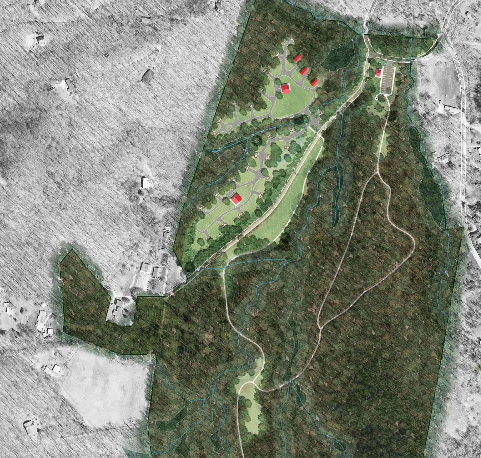
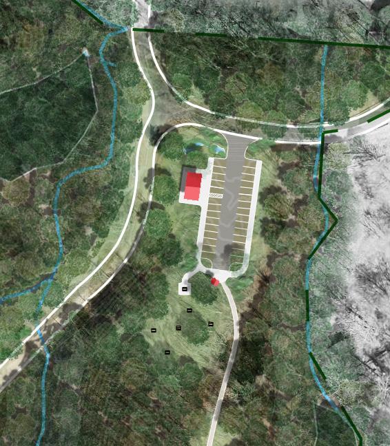
North Parcel (entrance feature, temporary trailhead, Mary’s Trail, viewing platform, demolition, utility upgrades, and maintenance building)
North Parcel (site circulation, equestrian day-use area, facility rehabilitation, visitor attractions, and trails) $12,483,863
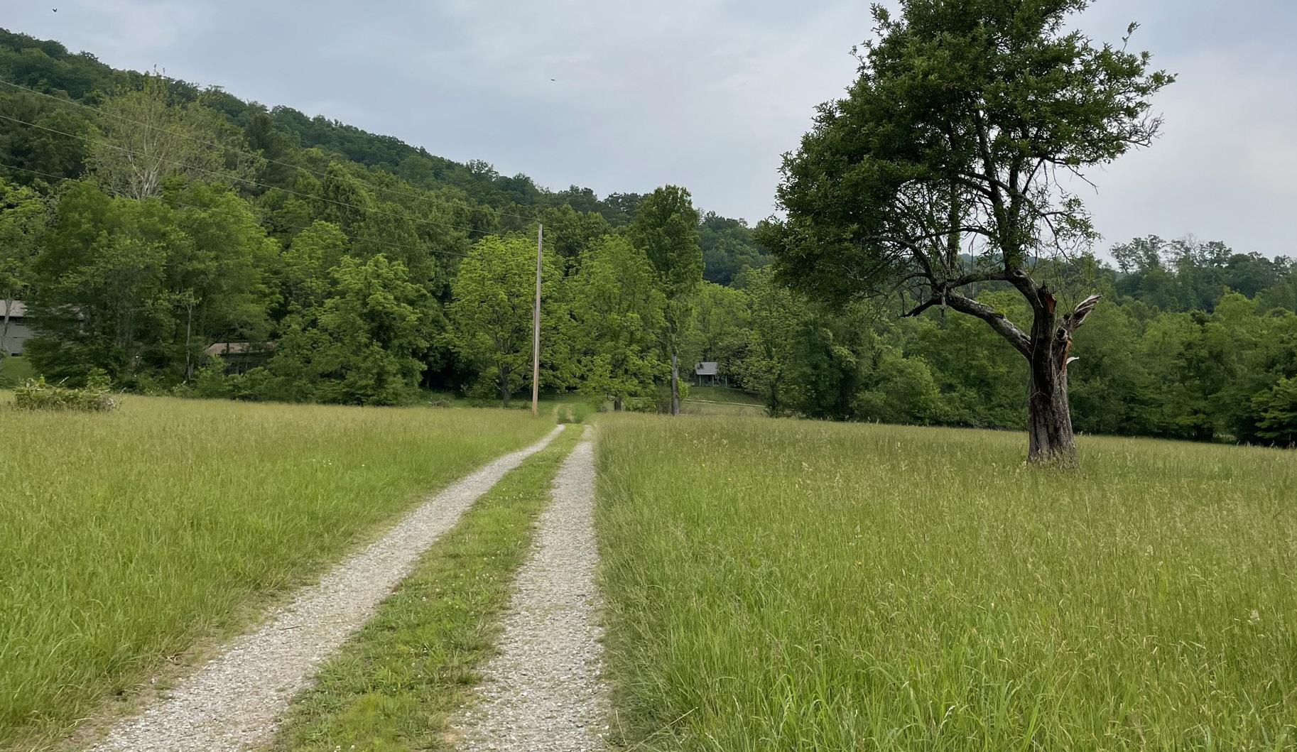
• Estimates are rounded up and may vary slightly from the detailed cost estimates in the Appendix.
• Costs are based on recent bid or cost estimates. Inflation of 3-4% should be added annually to estimates beyond the year 2024 and should be updated every two years.
$43,028,876
• Estimates assume a 25% contingency, 10% design fee, and 5% mobilization for each phase. A larger contingency fee may be applicable due to the remoteness of much of the park.
• Costs not included in this estimate include: utilities (beyond septic for campground), geotechnical/ soils investigation, rock removal, surveying, permitting, bonding requirements, archaeology investigations, and septic investigations.
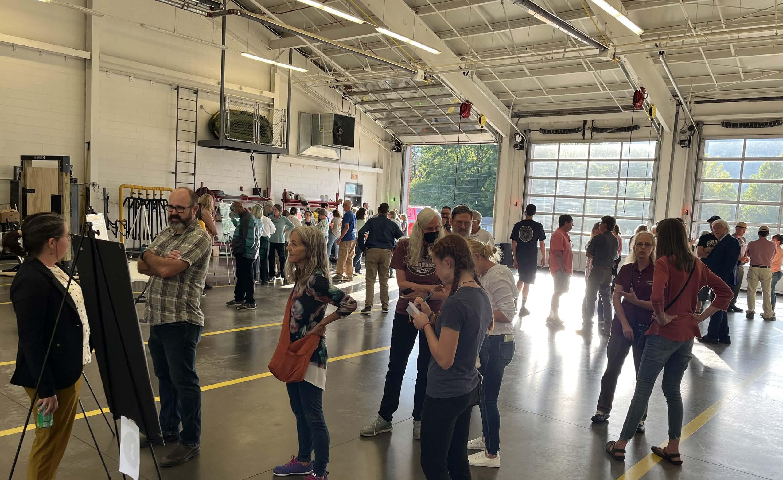
The following pages provide an overview of public engagement to date including engagement through various means:
• Detailed interviews with 10 focus groups representing diverse groups of stakeholders
• An online public survey, taken by over 1,735 people
• An open house, attended by 185 people
• A second online public survey, taken by over 630 people
• A second open house to seek input on conceptual designs, attended by approximately 100 people
• A third open house to seek input on the final master plan and its recommendations
The following pages contain summaries of the responses to the online public surveys and the first two open houses.
Find Outdoors; NC State Parks; Forest and Park; LLC; Asheville Convention & Visitors Bureau; Panthertown Capital
• Housing should be provided for hosts.
• Great Smoky Mountains National Park provides examples of successful equestrian concessions.
• Major concessionaires will develop a pro forma to decide if investments and returns are viable; as quoted in the meeting: “Have the State absorb the cost, and once it is proven to be profitable, put the business up for bid. It is hard to get a business to hop on a starting project because of the potential to lose money.”
• A longer-term agreement is more inviting for a concessionaire that will be making any kind of investment.
Black, Indigenous, and Persons of Color (BIPOC)
BIPOC Committee assembled by and including Friends of Pisgah View State Park
Conservation
The Conservation Fund, Friends of Pisgah View State Park, Southern Appalachian Highlands Conservancy, MountainTrue, NC State Parks
Friends of Pisgah View State Park, NC American Indian Heritage Commission, State Historic Preservation Office, Biltmore Estate, Schenck Forest, NC State Parks
Friends of Pisgah View State Park, residents, Southern Appalachian Highlands Conservancy, NC State Parks
• A land acknowledgment should be displayed at the park.
• Representation and inclusion is extremely important; ensure that there is a diverse representation in staff and visitors in the park, make sure it feels inclusive for all abilities, include staff that speaks Spanish and other languages, create a welcoming place, and train staff and contractors on cultural understanding.
• Backcountry trails in WNC were not historically used often by Black people; work with affinity groups and build in programming that welcomes both locals and visitors.
• Remove barriers to access by providing trails and facilities that are easier to access, especially for groups and families.
• Allow for gathering spaces where different groups can feel safe.
• Parks can often be economically inaccessible, especially when it comes to getting people to them.
• Consider actively inviting communities of color through different means.
• Conservation on the Haywood County side of the park is of interest, but needs to be approached in a cautious manner with the community to address public access.
• Flatter open space should be conserved in the valleys, which may have the most recreational benefit.
• It would be helpful to know the acquisition/conservation priority tracts or areas, especially for viewshed protection.
• Some type of conservation acquisition plan would be helpful; land trusts may be willing to partner with the State to develop this.
• Connecting to Mount Pisgah is a high priority, and wildlife corridor and water quality protection are major goals.
• Plan for needs and desires of the local community as much as those of other visitors, which include: pavilions, easy walking, and stream access.
• Conducting a historic structure survey and an archaeological survey will help drive interpretation themes.
• Other park themes could include: American Indigenous occupancy (consult with tribes on this), natural resources and traditional uses of those resources, 19th-century settlement, tourism (Pisgah Toll Road and Pisgah View Ranch), music heritage, clogging, stewardship, tobacco, logging, and Black history.
• Collaborate with tribes, the Museum of the Cherokee People, universities (like Western Carolina University), and the State Historic Preservation Office.
• Equestrian use is very important and is part of the property’s heritage.
• Education nodes should be included around the park.
• Separated trail uses is preferred, especially if the park includes equestrian and mountain biking trails.
• Provide for all abilities and skill levels, especially easy walking, water access, and educational nodes.
• Roads and egress, increased traffic, trailer access, and curvy roads must be addressed; these could be a challenge and create a negative impact to the local community if not properly addressed.
• Heritage should be interpreted and historic structures should be preserved where possible. Dark-sky viewing should be preserved through lighting design.
Operations
NC State Parks (operations and maintenance staff ), Friends of Pisgah View State Park
Friends of Pisgah View State Park, Made by Mountains, Pisgah Area SORBA, REI, Town of Canton, Buncombe County, Asheville Convention & Visitors Bureau, NC State Parks
• The trail system should be designed to reduce conflict.
• Properly plan to meet equestrian needs.
• Design to prevent overuse issues; consider the water system, septic, and parking (“right type in the right location”).
• Maintenance and upkeep can be a challenge with historic structures.
• Provide turnarounds for entrance and parking lots for when the park is at capacity.
• Connections to surrounding recreation is important: Mount Pisgah, Chestnut Mountain Nature Park, Blue Ridge Parkway, and national forests.
• Build sustainable trails with a progression of skill levels from frontcountry to backcountry.
• Low-barrier entry, accessible, and beginner trails are very important and lacking in the region.
• Restrooms are critical to a functioning park.
• Include plans to allow dark-sky viewing.
• Picnic shelters are in large demand in Buncombe County.
• Addressing overuse of the park will be a challenge.
• Allow for commercial recreation outfitters, guides, and other outdoor-based businesses.
Back Country Horseman of America Pisgah Chapter, NC Horse Council / NC Trails Committee, NC State Parks, Friends of Pisgah View State Park
Tribal
NC American Indian Heritage Commission, Friends of Pisgah View State Park, Muscogee (Creek) Nation, United Keetoowah Band, Eastern Band of Cherokee, Office of State Archeology
NC State Parks, Friends of Pisgah View State Park Board
• Investment in Passive Recreation Amenities in the Frontcountry: Make it accessible for all and invest in the frontcountry passive/“soft recreation,” easy walking and accessible paths, dark-sky viewing, pavilions, gathering spaces, and access to water.
• Trails: Trails should be sustainable; retrofit existing trails and build new trails to be sustainable. Trails should be inclusive; consider a good investment in frontcountry trails that are easy to access, and an investment in ADA accessible trails. Trails should have separated uses where possible and be designed to reduce conflict. The development of equestrian trails is supported by locals and should be a key component.
• Address Concerns: Don’t overdevelop the land, protect natural resources, plan for concerns regarding Davis Creek Road, mitigate entrance/exit traffic, and address overuse and how to manage or avoid parking lots and trailheads reaching full capacity.
• To draw in use, there is a need for 20+ miles of trails with the possibility of multiday trips; stalls and camping should be away from other park visitors.
• Provide a barn or stalls for horses and dedicated trailer parking.
• Provide all the amenities needed for overnight stays.
• Sustainably designed singletrack trails and limited or separated use from mountain bikes is required for successful equestrian use.
• The groups are open to equestrian concessions, but they only do 2-3 mile rides; Dupont State Recreation Forest has one like this.
• Davis Creek Road will be a challenge for horse trailers and campers; these concerns should be addressed.
• The natural environment should be protected as much as possible.
• Tribes and Indigenous people should be involved in stewardships (conservation corps), interpretation, and storytelling.
• Tribal leadership should be engaged and appropriate partnerships should continue to be invited through the planning and programming process.
• Archaeological and natural heritage (flora and fauna) surveys are important to the tribes so that they can provide further feedback on what is important to protect for them; no cultural resources should be impacted by the park.
• Don’t just tell the tribal history (especially the focus on removal), but educate about the tribal culture today and how the people are a thriving and living culture.
• Reconsider naming of the park (Pisgah is Judeo-Christian) and integrate Cherokee language as much as possible.
• The importance of medicinal plants to native cultures should be taught; respect those areas where they grow and allow for collection by tribal members.
• The state park is on treaty lands and it is important to recognize this.
• Create a sense of inclusiveness through design and programming and include space for all abilities; the park should be welcoming for all cultures, especially the celebration of Indigenous cultures (including the consideration of renaming of Pisgah to a Cherokee name).
• Provide a diversity of amenities, but especially access to water, picnicking and pavilions, dark-sky viewing, heritage demonstrations, cultural interpretation, storytelling, and community gatherings and cookouts.
• Protect the biodiversity and habitat and do not overdevelop the land.
• There are concerns over overuse, managing the public’s expectations, and the impact to the natural environment.
• The Friends Group would like to help build partnerships and be a liaison to the community in order to relieve burdens of staff and to advocate for the park.
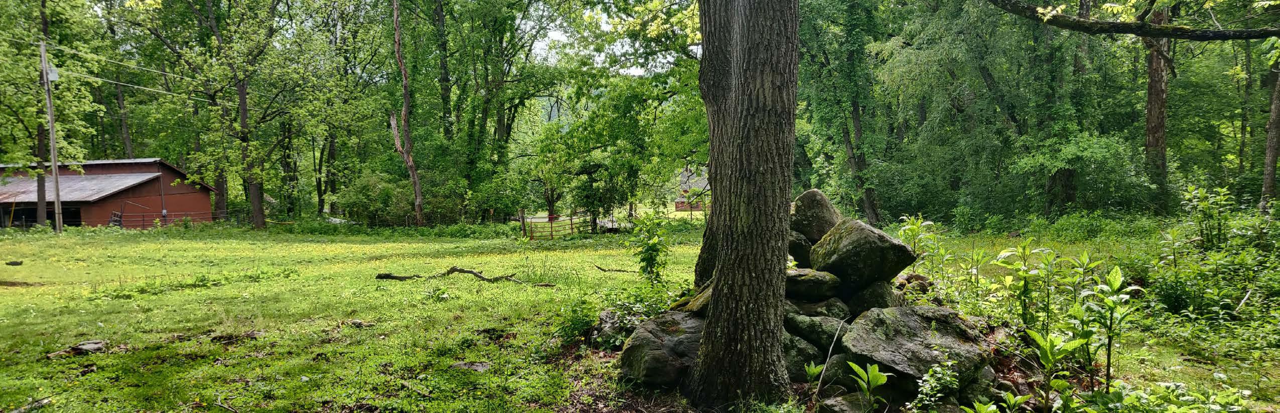
• Representation and Inclusivity Matters: Ensure that there is diversity in both staff and visitors, which requires commitment. Train staff and any contractors to have cultural awareness. Build programs that represent diverse cultures and are welcoming to all.
• Partner and Represent Indigenous Cultures: Explore future ways to partner with tribes, employ Indigenous people, interpret history, and celebrate the current cultures of tribes. Work with tribes to get feedback on future developments and employ archaeological and plant surveys to address any concerns.
• Future Land Acquisitions and Stewardship of Existing Land is Key: Target conservation for connection of trails, protection of views, and protection of sensitive natural resources and waterways. Protect flatter spaces where you can have more recreation amenities that are easily accessible. Steward the park, ensuring there are no major resource impacts. Consider climate change and adaptation in planning.
On September 26, 2023, a public open house at the Upper Hominy Volunteer Fire and Rescue Department. Approximately 185 people attended. The purpose of the engagement was to ask the public about their preferred amenities, to share an overview of the project, and to garner any comments or concerns.
(Represents % of a total of 379 votes, attendees were allowed to make multiple votes )
What

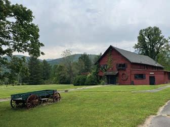
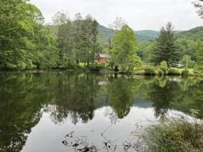
(Represents
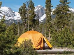
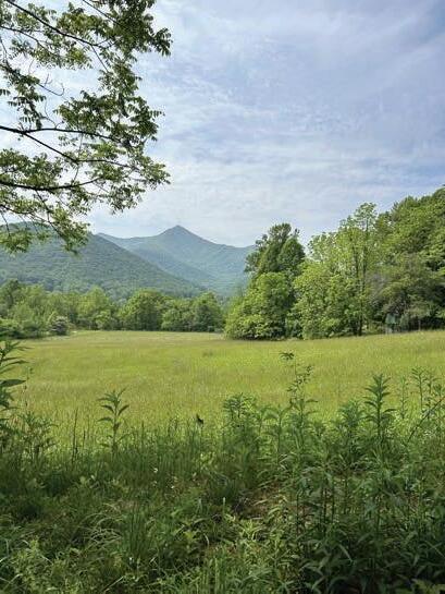
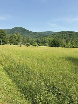


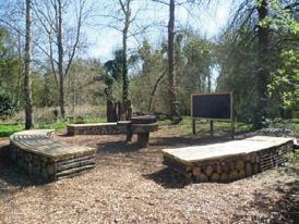
(larger text size indicates more votes)
Interactive farm-related activities for children.
“
Educational programs would benefit young and old!
“
This ranch has always had horses.
“
Keep outdoor lighting a minimum!
Mountain Bike Trails. Wi-Fi. Wildlife preserve. Park Naturalist.
A good bathroom and maybe a filtered water bottle filling station?
Handicap accessibility. Dark sky park. Disc golf. Horse Barn. Swimming pool. Playground using natural resources. Dog park.
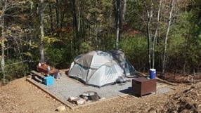
Have separate trails for user type
Fishing access
Keep outdoor lighting a minimum
Keep an equestrian focus
Focus on the natural and ecological aspects of the site
Preserve biodiversity
Minimize construction and development
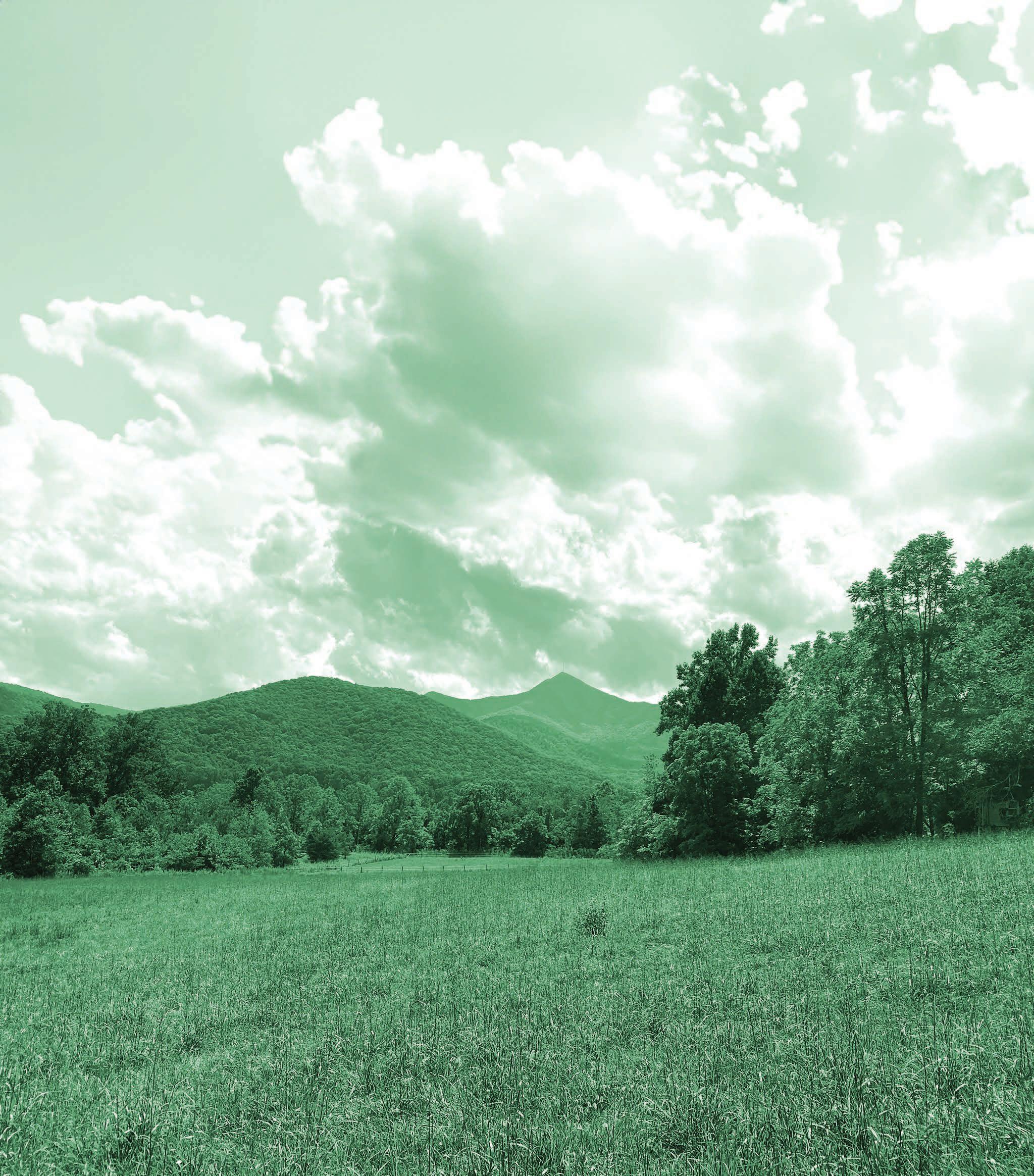
To honor the history and legacy of the land, let equestrians come ride.
A public survey was launched in the fall of 2023 and was open for several months and taken by over 1,735 people. The following is a summary from some of the findings.
Amenities People Would Like to See
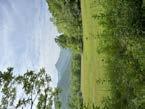
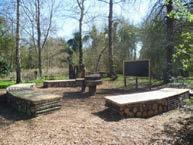
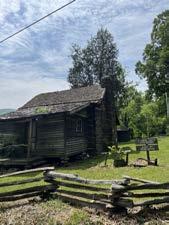
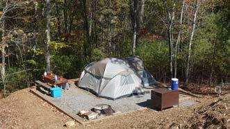
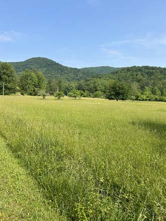

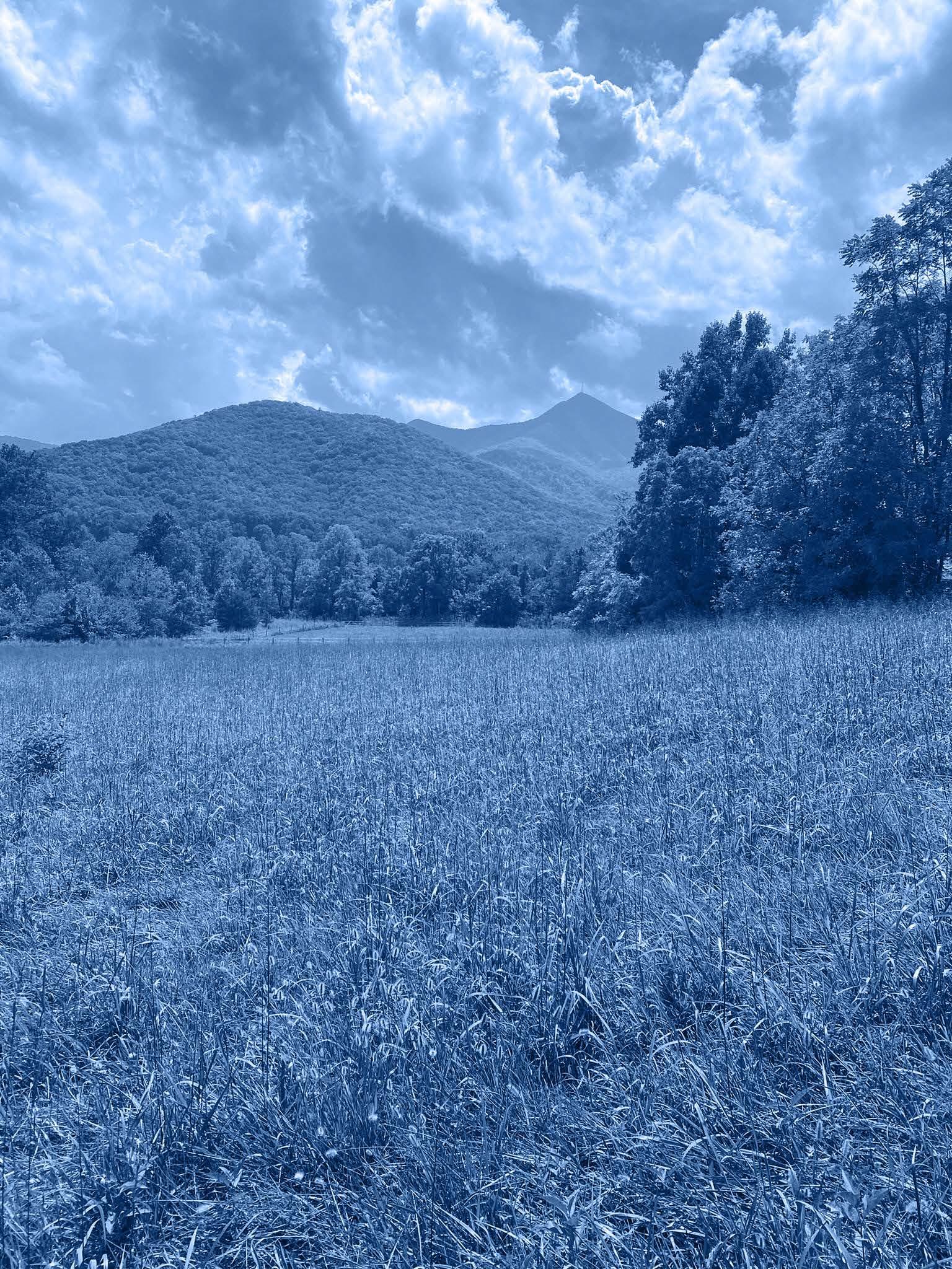
Equestrian day use trails with parking area with good road access.
Bike/Hiking Trails. OHV + ORV Trails. Wildlife preserve.
Handicap accessiblilty. Dark sky park. Disc golf.
Wheelchair accessible - not gravel, it doesn’t work. Dog park. A good bathroom and maybe a filtered water bottle filling station?
On February 15, 2024 a public open house was held at the Upper Hominy Volunteer Fire and Rescue Department. Approximately 100 people attended. Those attending were caught up on how the master planning process arrived at the dra concepts for the park, including the types of input that had so far been received. They were then able to view and discuss two separate front country concepts, as well as a backcountry trails concept, for the master plan of the park and weigh in on which aspects of each concept that they liked the most.
Outdoor/environmental/historical education spaces are needed and should be planned for.
There are concerns about adjacent landowners’ property and the e ects of campfires.
Amenities
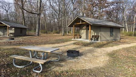
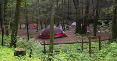
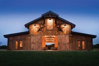
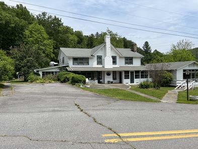
Horse camping sites will be welcomed by the local community, and the sites should be level/flat.
Please consider having trail loops instead of out-and-back trails.
Beginner mountain biking should be considered.
Parking spaces should be maximized, including bus parking.
Equestrian trails may be incompatible with biking trails and some hiking trails.
Be careful of the environmental impact on riparian habitat.
Some trails should be closed on days of wet weather & snow events.
Word Cloud of Comments on Trails Plan
Educational!! for the entire WNC area, for school kids and up through seniors!


I think it is great to have horseback riding trails. So many equestrian trails have closed all over the country.
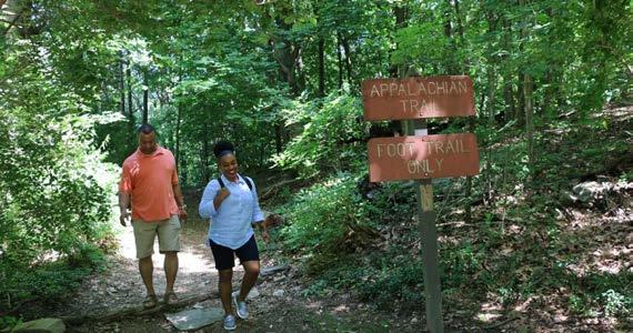

Camper cabins (like the ones at Gorges State Park) are great to stay in!
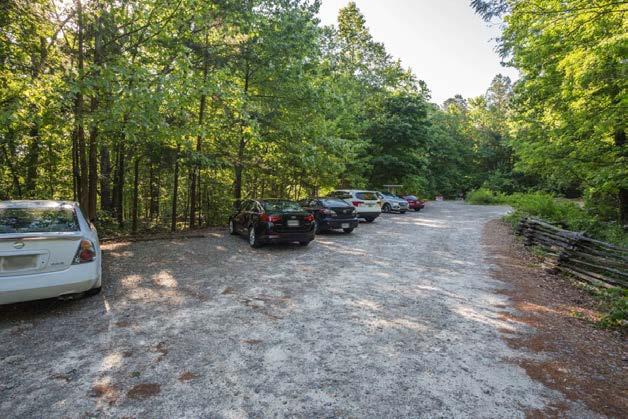
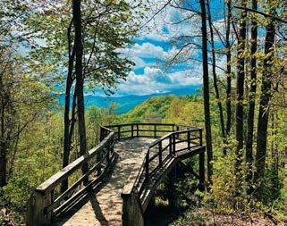


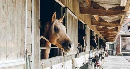
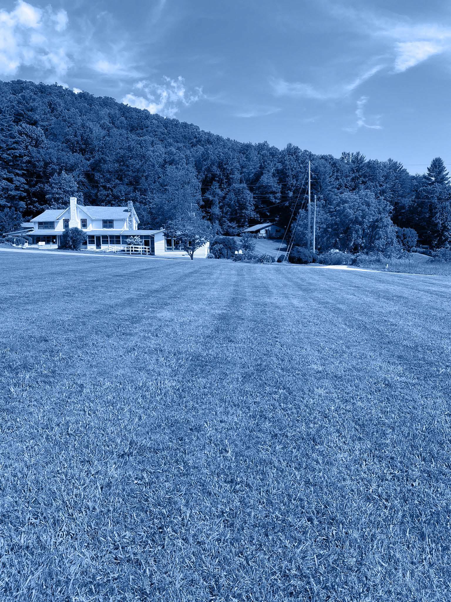
A public survey was launched in the winter of 2024 that allowed the public to provide input on the two conceptual designs that were developed for the park. The survey was open for two weeks and taken by over 630 people. The following is a summary from some of the findings.
Top Amenities for Concept A
Participants
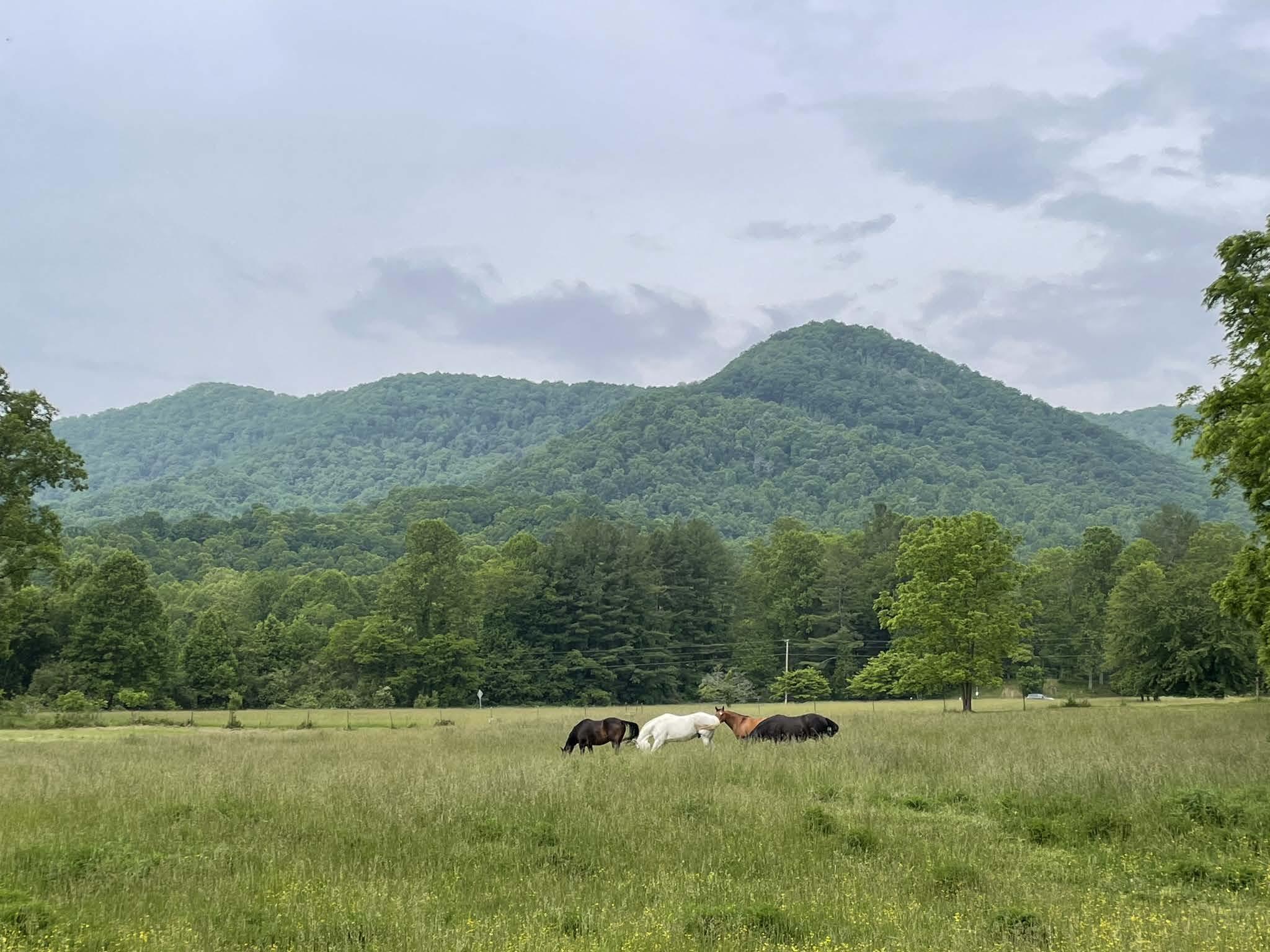
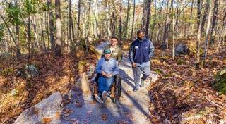
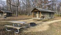
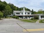
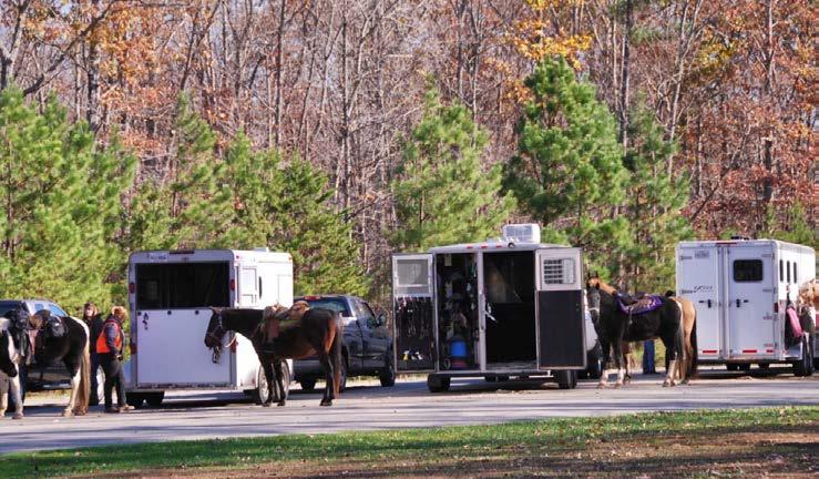
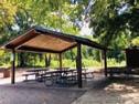
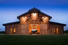
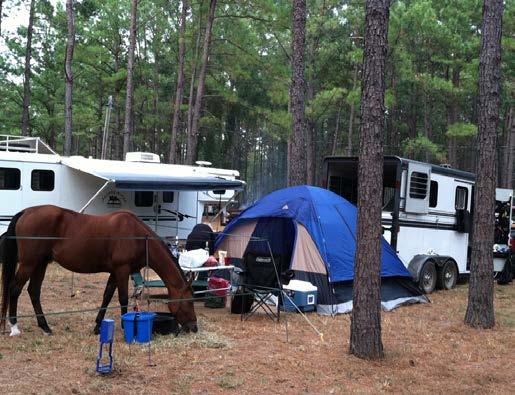

B
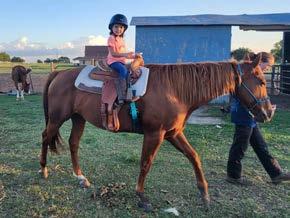
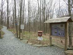
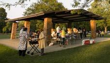
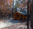
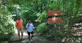
Top Trends in Backcountry Trail Responses
Participants were asked to provide open-ended comments regarding the conceptual backcountry trail plan
Participants were given the opportunity to provide open-ended comments on each of the concepts or more generally for the overall project.
O er historical and educational opportunities and maintain the legacy of Pisgah View Ranch.
O er trails with a variety of skill levels and ability. Connect trails to other existing trail networks such as Pisgah National Forest and Chestnut Mountain Nature Park.
Consider loop trails for horse trails.
Include a variety of overnight accomodation options.
Mixed opinions on commercial o erings: many prefer minimized development to maintain character of the site.
Support for riparian enhancements.
Desire for RV and trailer hookups in addition to tent camping.
Interest in bathhouse at horse camping area.
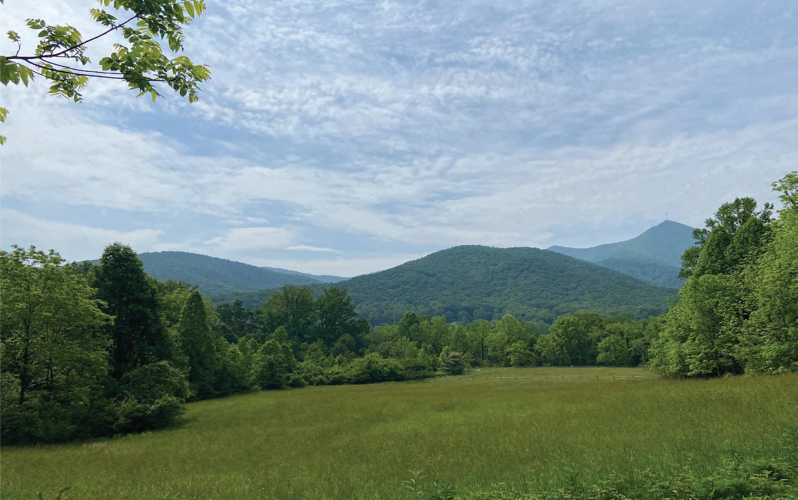
Once the final dra of the concepts for the frontcountry areas were developed, a final round of public input was completed. A final public open house was hosted at the Upper Hominy Volunteer Fire and Rescue Department on Thursday August 1, 2024 to present the final dra s of the master plan to the public. Approximately 95 people attended the meeting and were able to see the plans and speak with the design team and state park sta
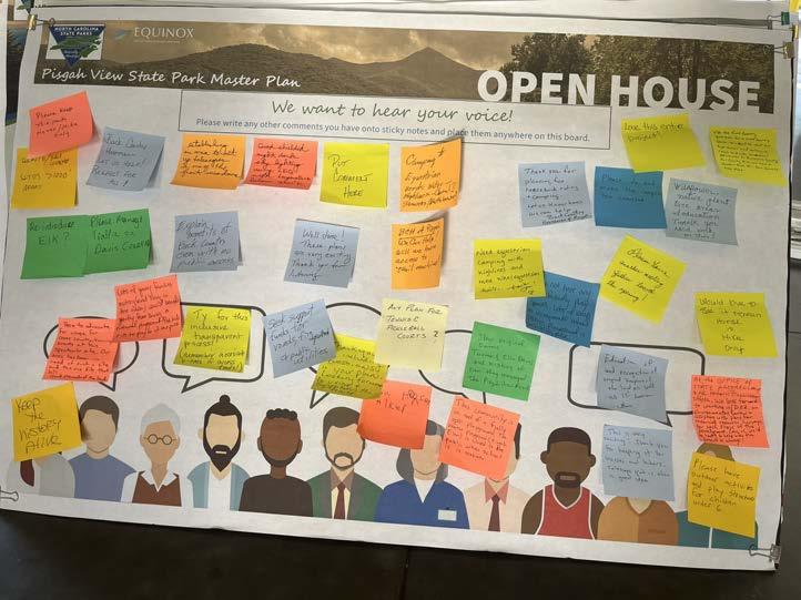
North Frontcountry Master Plan
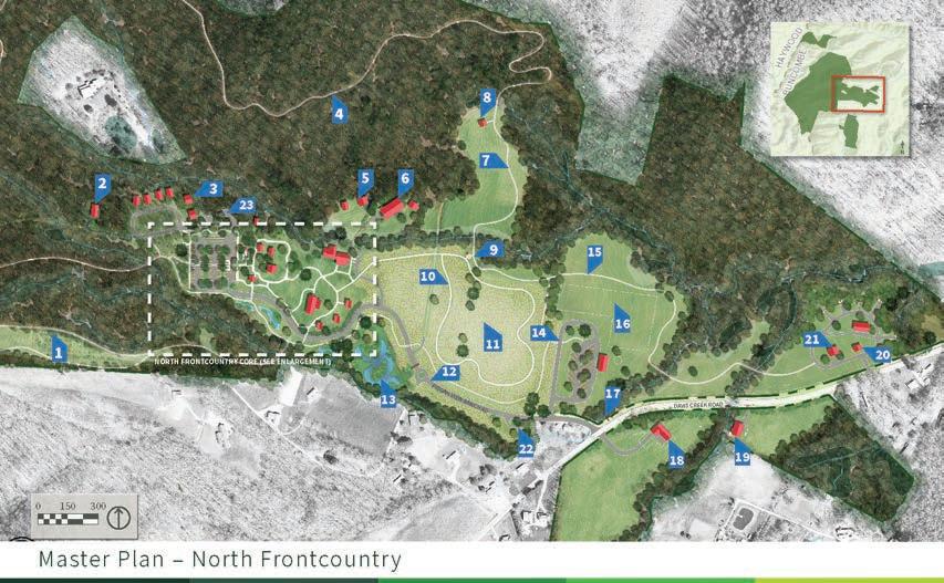
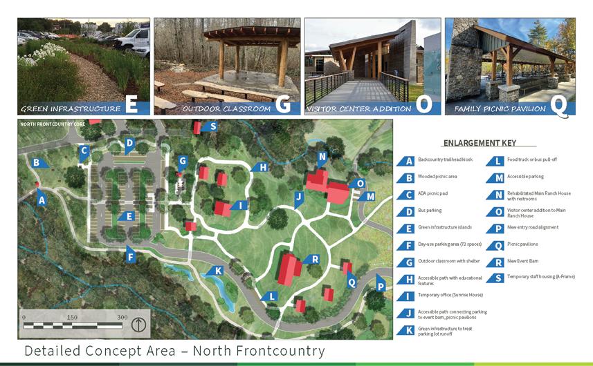
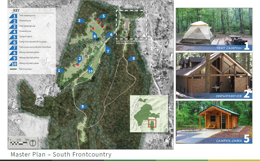
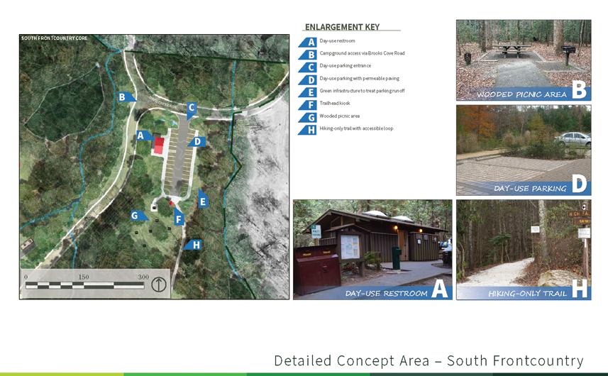
A public survey was posted on the NC State Parks website and was open for two weeks a er the public meeting was hosted. The survey received 201 responses. In the survey respondents were able to address what amenities they preferred most in the concept.

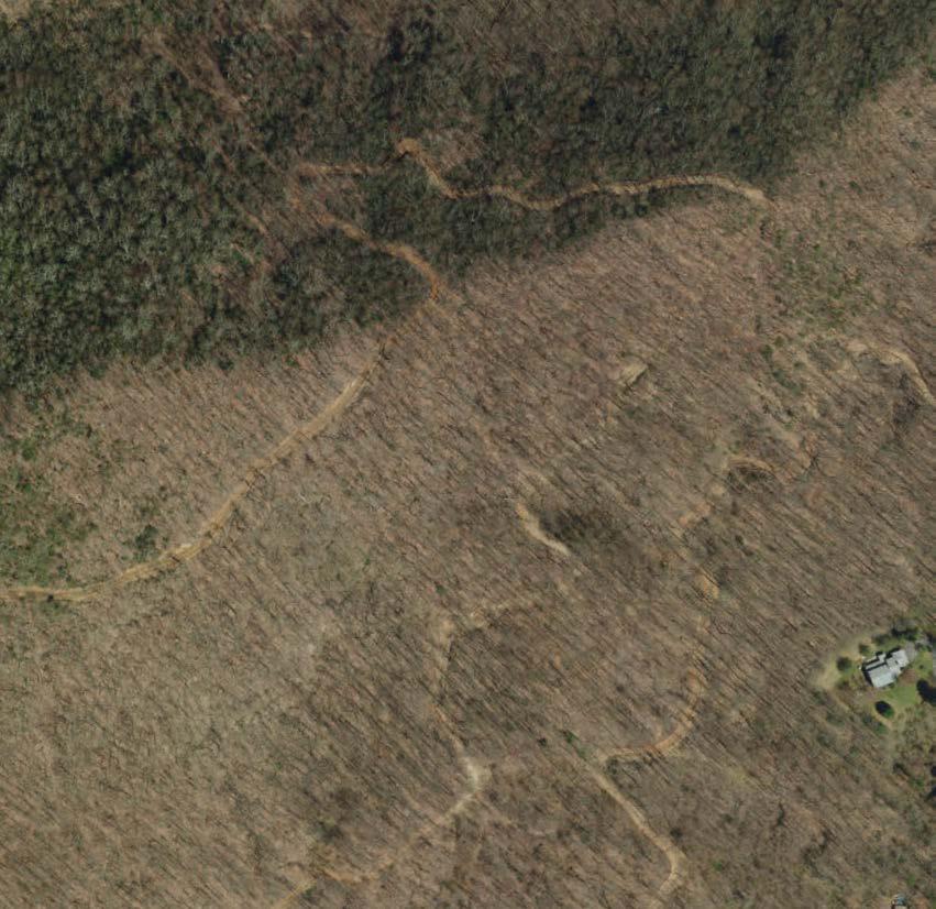

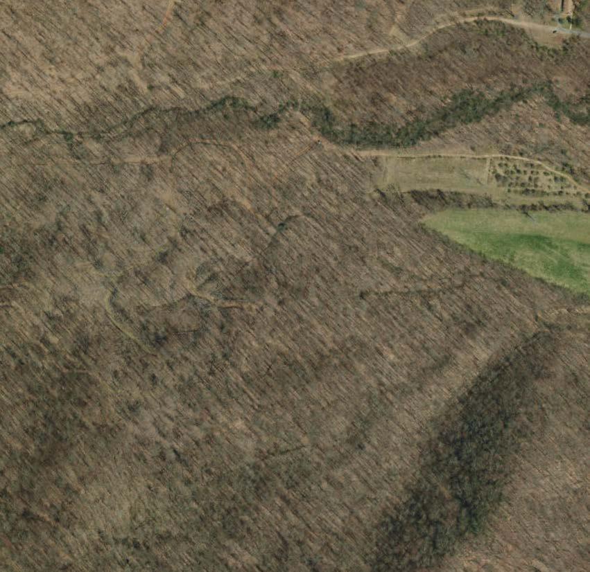

•
•

for privately owned horses.
• Small equestrian campground.


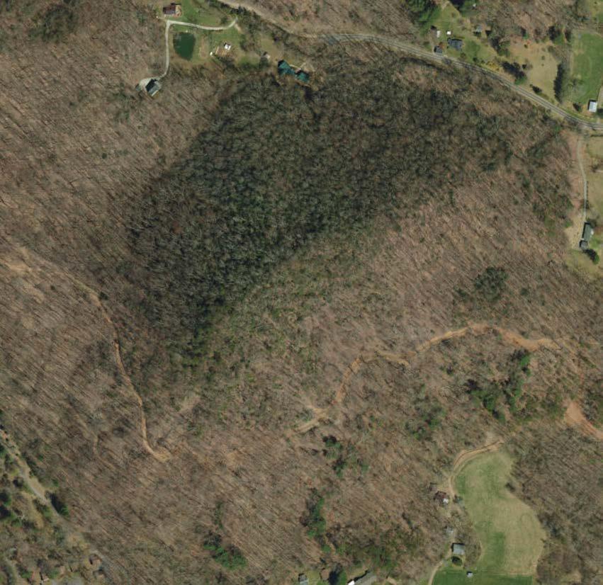
• Rentable spaces for larger events (barn).


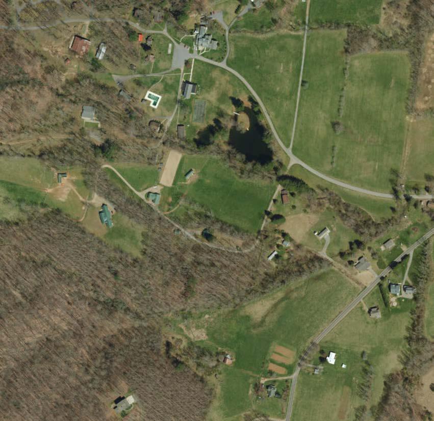
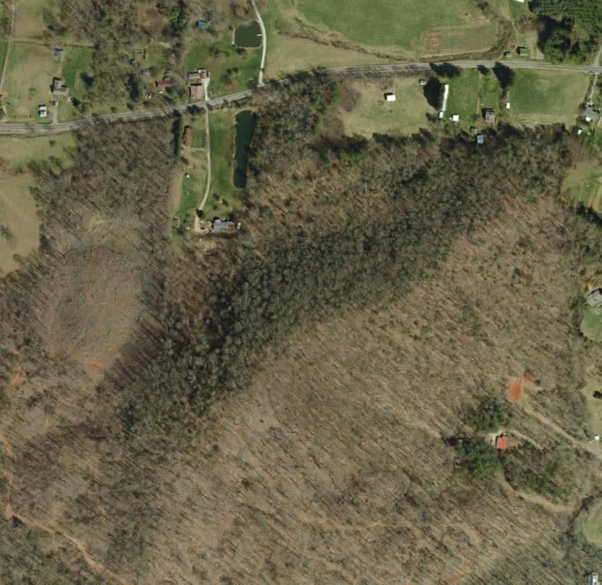


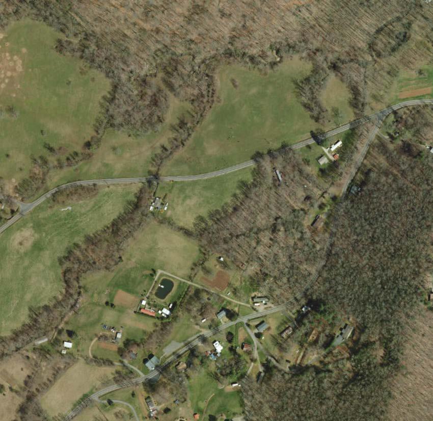


• Educational programming oriented with multipurpose shelter and interpretive hiking-only loops.
• Family cabins with private restrooms.
• Small tent only camping loop.
• Opportunities for hike-in group camping.


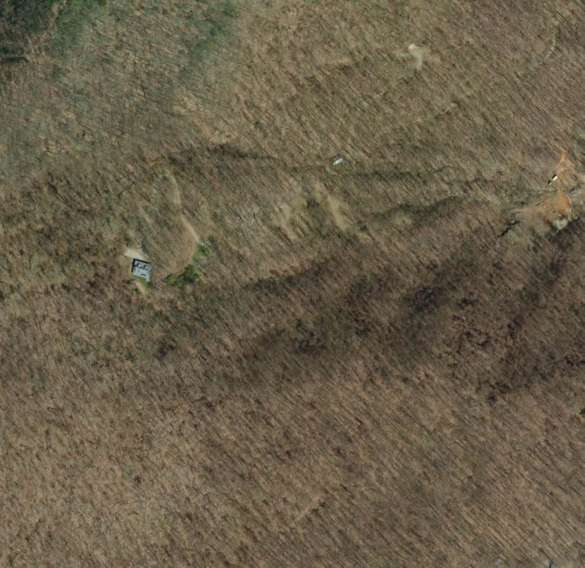


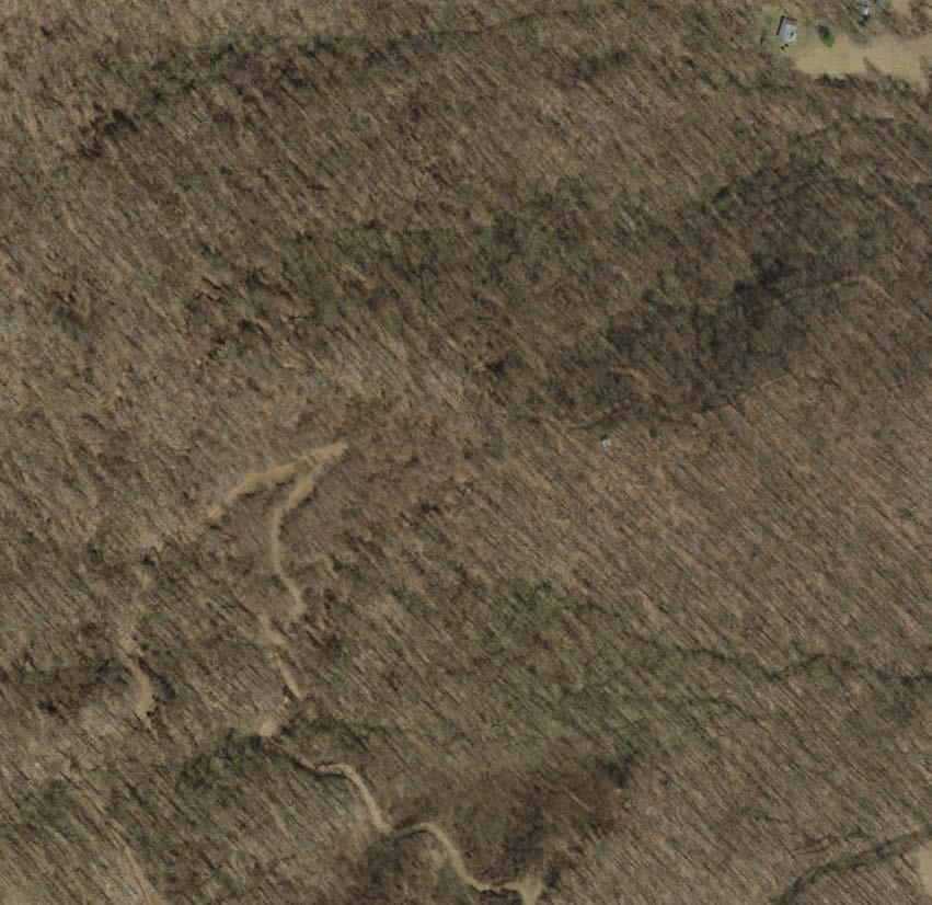


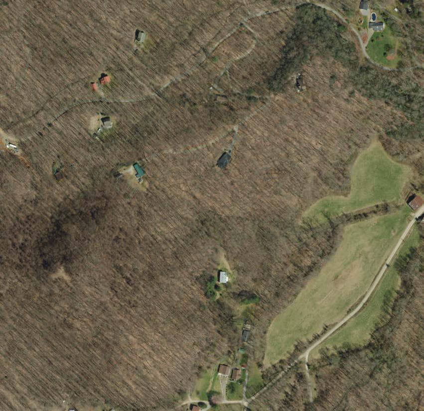


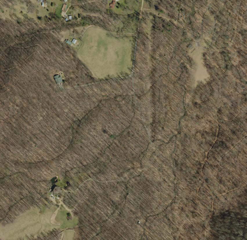


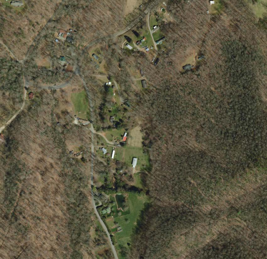


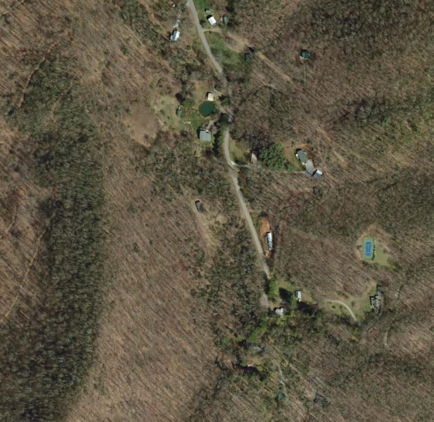
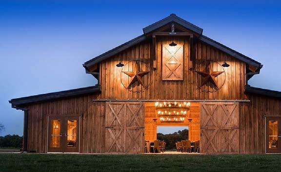
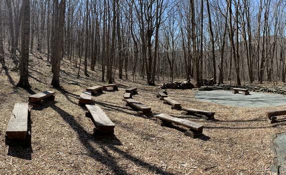
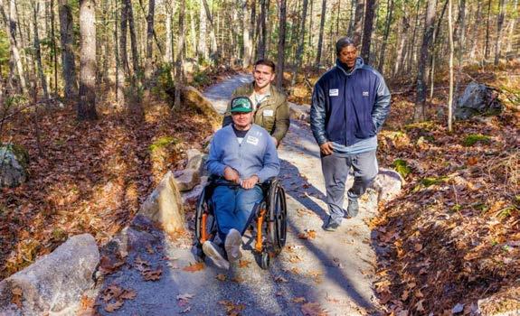
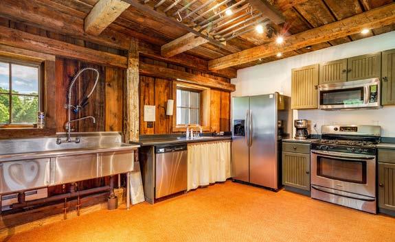
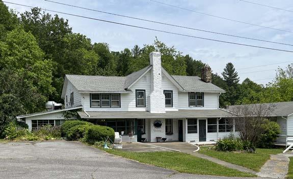
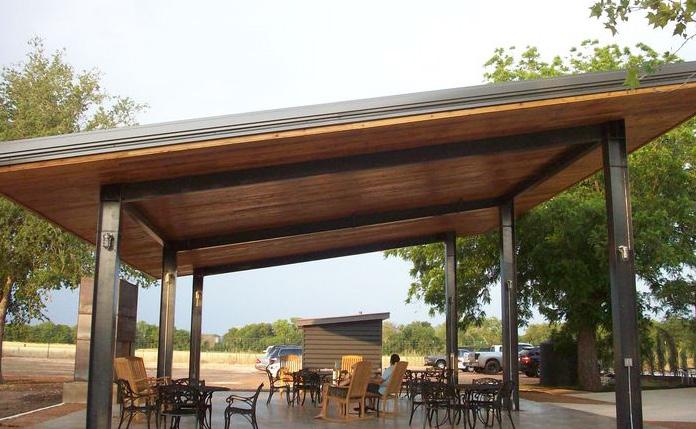
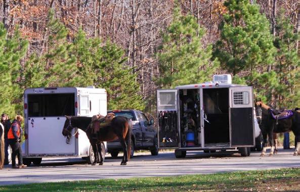
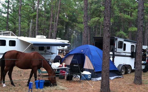
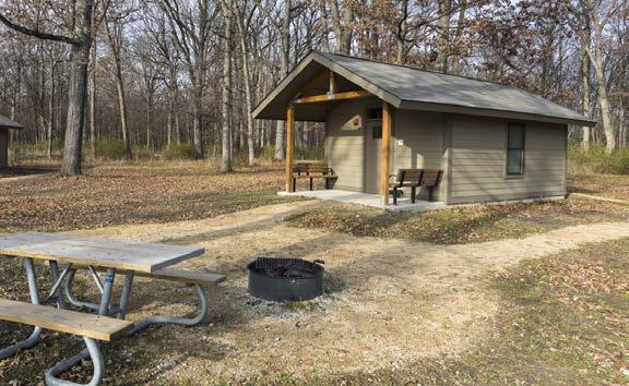
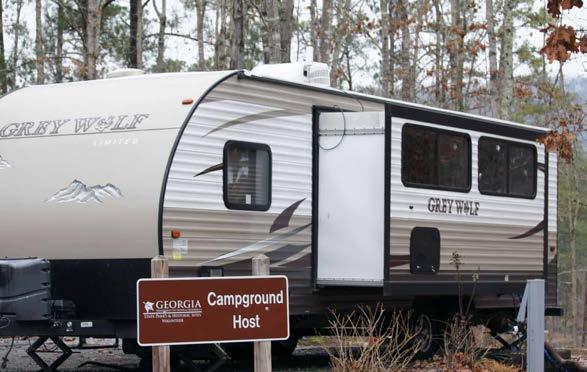
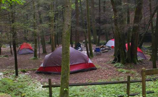
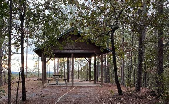
•
•
•
Key Themes Concept B:
• Campground oriented.
• Hiking only trails.
• Provide a campground check-in area along with camp store.
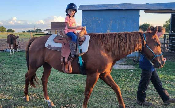

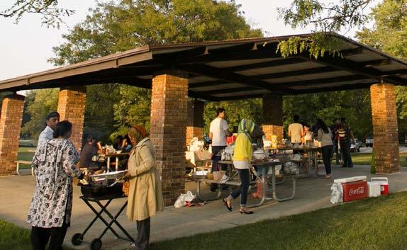
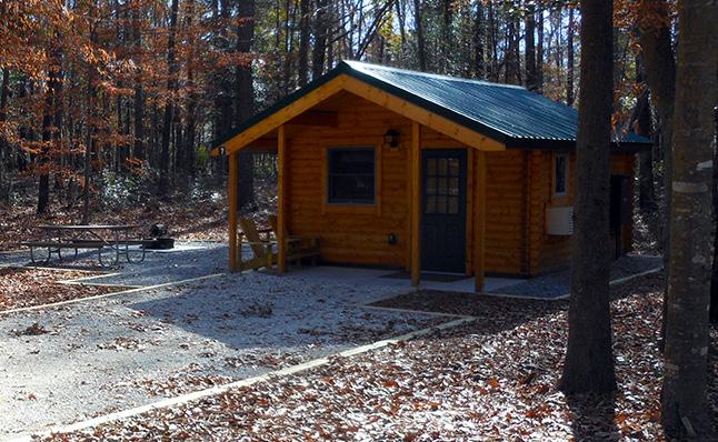
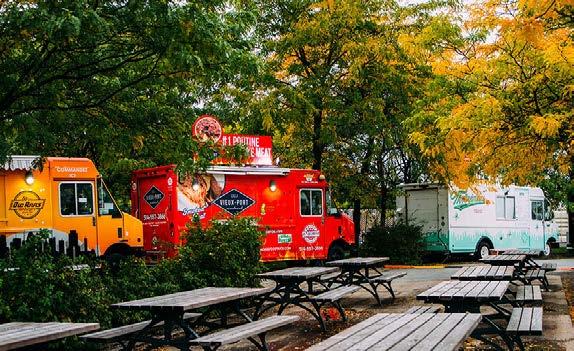
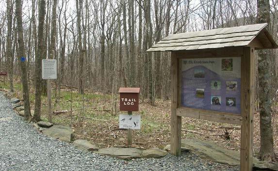
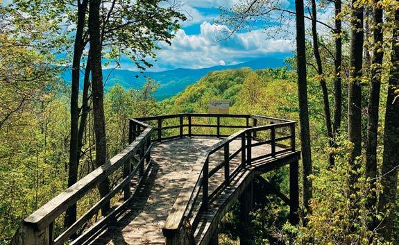
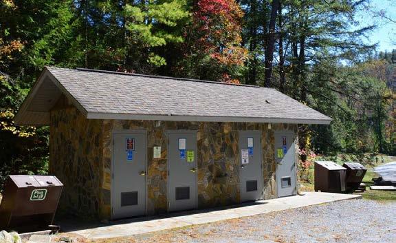
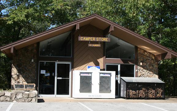
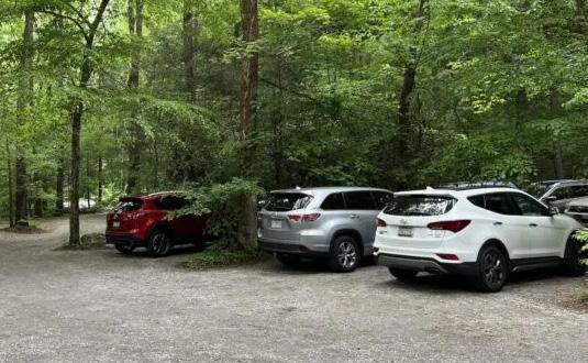
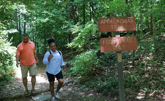
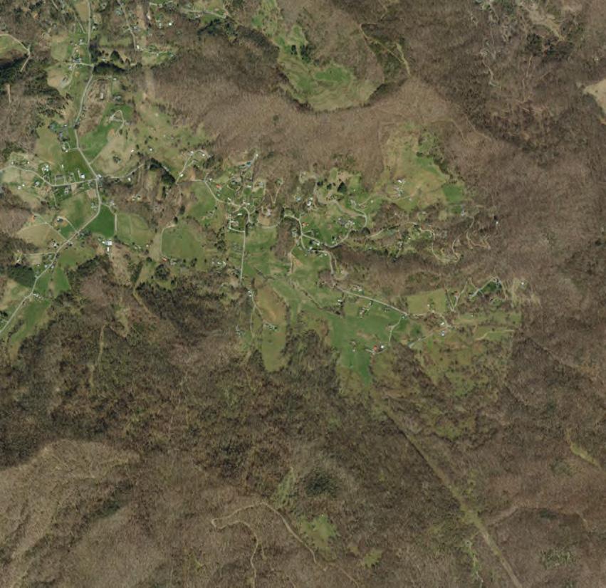
Concept A prioritizes investment in the front country by investing in a concentration of fully accessible front country trail loops and an increase in stacked trail loops to allow for easier access excursions. A gradient of more difficult trails builds as you move into the backcountry. Backcountry improvement will be more minimal but include reroutes to increase trail sustainability and ease of use and establish a few new trail connections to iconic views of Mount Pisgah.
• 23 total trail miles (14.7 miles of new trail and 8.3 miles of existing trails)
• 16.5 miles of equestrian/hiking trails
• 3 miles of new ADA accessible trails
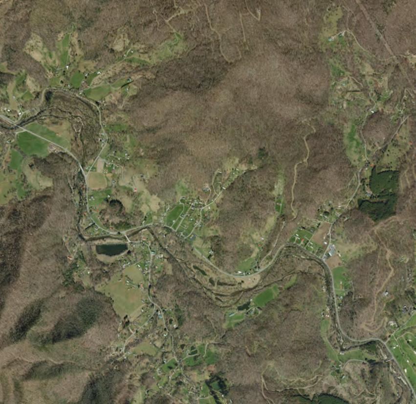
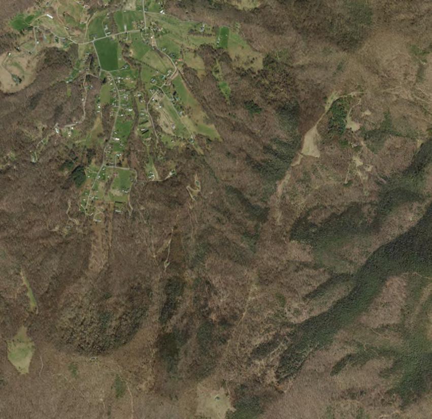
• 3.5 miles of new beginner hiking/biking trail (orange line in southern site)
• Access to 4 new scenic views in backcountry
• 6.5 miles of front country stacked loops
• 2.7 miles of trail reroutes proposed as a priority

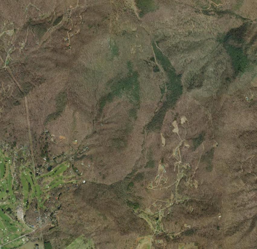
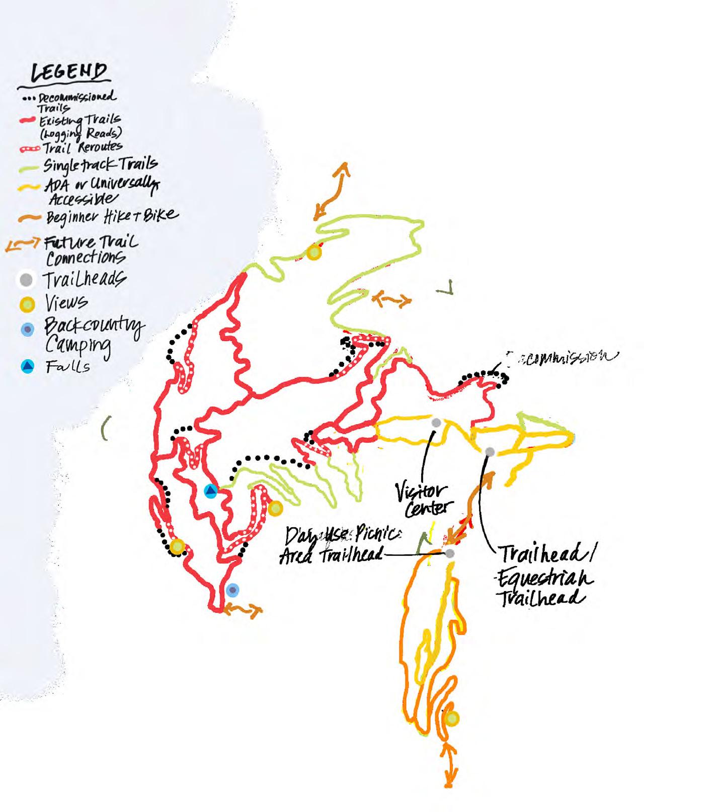
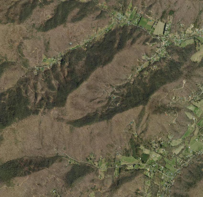
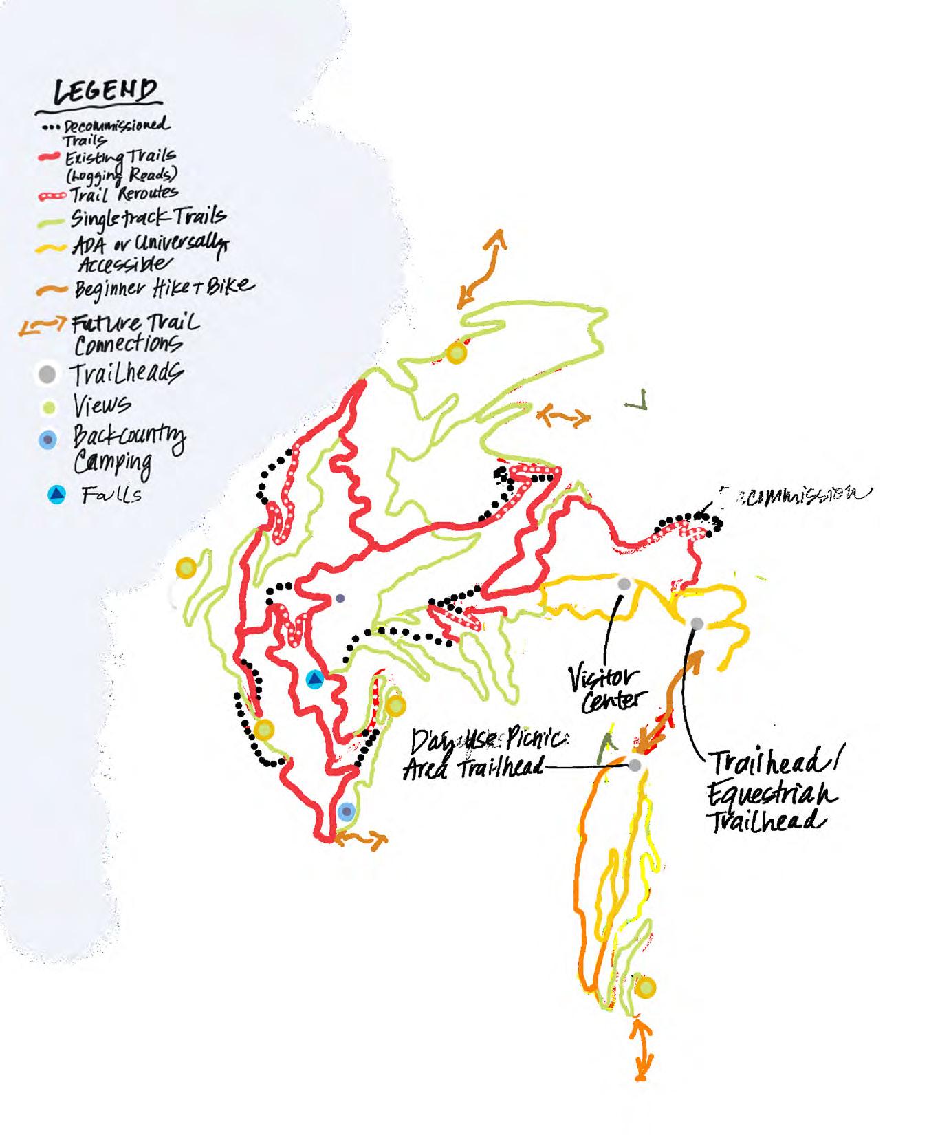
Concept B prioritizes investment in building new sustainable single-track trails, something we heard was important to all trail users. This would include a major investment in a front and backcountry single-track trail loops. Access to scenic views will be increased. A more complex backcountry stacked loop trail system would benefit equestrians and hikers looking for an extended and more varied backcountry trail experience.
• 25.7 total trail miles (18.2 miles of new trail and 7.5 miles of existing trails)
• 21.4 miles equestrian/hiking (existing and new trails)
• 2.6 miles of new ADA accessible trails
• 1.7 mile of new beginner hiking/biking trail (orange line in southern site)

• Access to 5 new scenic views
• 1.9 miles of trail reroute proposed (as a secondary priority to the building of the new single-track loop)
Probable Cost Estimate from Master Plan 2024 Wayfinding
Cost estimates are preliminary and subject to change NORTH PARCEL (core development)
DISCLAIMER: EQUINOX IS FURNISHING THIS COST ESTIMATE AS REQUESTED BY THE CLIENT. PLEASE NOTE THAT ESTIMATED COSTS ARE PRELIMINARY IN NATURE AND BASED ON A CONCEPTUAL PLAN. THESE COSTS ARE SUBJECT TO CHANGE BASED ON FIELD CONDITIONS, LOCAL OR REGIONAL DIFFERENCES, CHANGES TO THE PLANS, AND/ OR CHANGES IN UNIT COSTS. COST ESTIMATES ARE PROVIDED FOR USE IN BUDGETING, BUT IN NO WAY SHOULD THIS ESTIMATE BE CONSTRUED AS A FINAL COST FOR THE PROJECT. FINAL COSTS ARE CONTINGENT ON ACTUAL BIDS FROM CONTRACTORS. EQUINOX WILL NOT BE HELD RESPONSIBLE FOR DIFFERENCES BETWEEN THIS COST ESTIMATE AND BID COSTS.

FIELD OBSERVATION REPORT NO: 1
DATE: August 24, 2022
KEPA JOB NO: 20220820
PROJECT: Pisgah View State Park
LOCATION: Candler, NC
WEATHER: Partly cloudy, 75°F
TIME: 10:00 a.m.-3:00 p.m.
PRESENT AT SITE: Robyn Manhard (KEPA)
Brian Cook (MPS)
Thomas Gull (State of NC)
David Tuch, Megan Foy, and others (Equinox)
NC Park Rangers
Max Cogburn (property owner)
“Spud” (property maintenance manager)
An initial site visit was made to assess the structures present on site to assist with defining the scope of work. There are approximately 50-60 buildings on site of varying conditions, including: a small log cabin was constructed in 1790; the main ranch house built originally in the late 1800’s with numerous additions; several small cabins from the mid 1900’s; barns; a pool; and several outbuildings While some of these structures are occupied and usable, many are in various states of disrepair.
The property maintenance manager, “Spud”, was useful in exploring the site and has a wealth of knowledge about the history of the ranch. He also discussed events relevant to the structures of the buildings, such as flooding and repairs.
The buildings observed are listed below.
1. Main Ranch House (MRH)
According to tax records, this two-story building was constructed in 1873, and is approximately 8,500 square feet. This date refers to the main portion of the house, and several additions have been made since (The tax records indicate additions in 1951, 1954, and 1987).
The house will require substantial structural improvements to be repurposed for public use.
The original portion of the house is timber-framed on a stacked stone wall foundation.
The numerous additions to the building would all need to be documented and analyzed. Various structural systems are in use, including: concrete slab on metal deck supported on steel beams; CMU walls with wood roof framing; and wood framing supported on concrete walls, CMU walls, stone walls, and timber posts. The foundation was noted to have several areas where the ground was washed out from water infiltration.
Some beams appear to be sagging, and many of the floors were spongy. Visible timber connections were primarily toe-nail connections. The main floor of the house was apparently flooded within the last 5 years, and during this even had standing water throughout the raised kitchen floor. This area had very spongy floors, and likely has water-damaged joists below. There were several areas throughout the house that had water damage from water penetrating through the exterior envelope, pipe leaks, and flooding. There is a stream that runs close to the back of the building that has historically flooded the house and its outbuildings.
The house also has several adjacent outbuildings, including a smokehouse, a laundry house, and a spring house. Additionally, there is an old cabin, the “Old Apple House” adjacent to the house. Its roof has been dismantled, and the CMU walls have been left in place. The rear and side walls of the building are retaining soil up to approximately 8 feet high, and the rear wall has large, stair-stepping cracks. From above, it appeared that the CMU was hollow, with no rebar or grout.
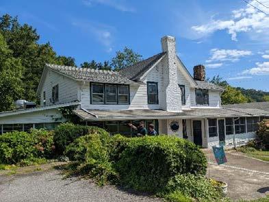
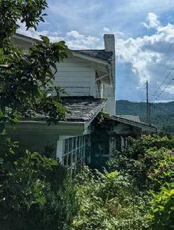

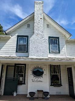
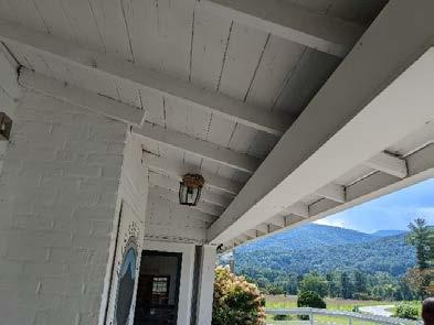
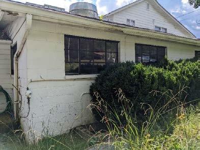
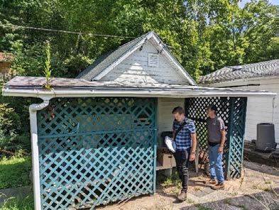
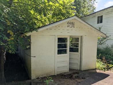
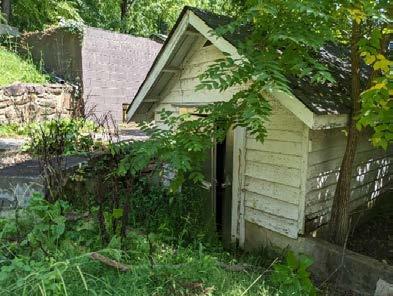
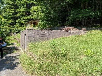
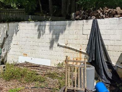
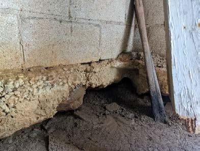
According to those familiar with the site, the Red Barn was constructed shortly before the Main Ranch House, in the mid to late 1800’s. However, the tax records indicate construction in 1950. The building consists of a wood-framed barn over CMU, with two small CMU structures flanking each side of the barn.
The CMU wings of the building have some water damage and roof leaking from the wood roof above. Otherwise, the masonry appears to be in serviceable condition.
The barn is a two-story structure, with several rooms in old stall locations on the ground floor, and a large event space on the second floor. The roof is constructed with trusses bearing on the exterior wood-framed walls. These exterior walls are substantially bowed outward, especially towards the center of the building. This is very apparent on the second floor event space. A turnbuckle and rod system has been added at the center of the barn, at the top of the exterior walls, likely as an effort to keep the walls from bowing further outward. The trusses were inaccessible above the ceiling during this visit and were not examined.
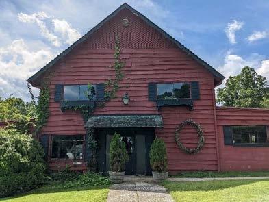
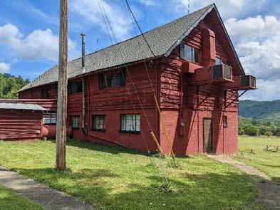
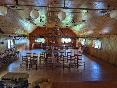
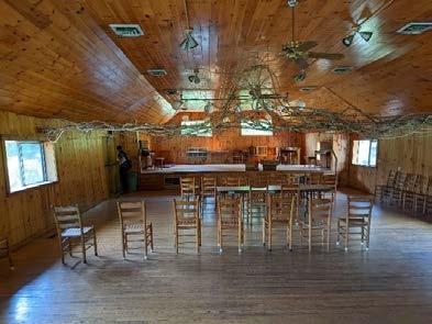
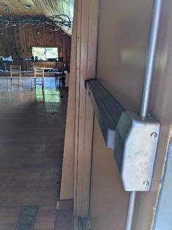
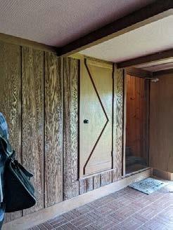
This log cabin was built in 1790. It has two small additions on each side, whose time of construction is unknown. The log cabin is on a stone foundation. The additions are supported on CMU and stone.
Adjacent to the museum is a small log structure known as the “Old Gift Stall”. It does not have any bathrooms, plumbing, or mechanical systems. Its construction time frame is unknown, though may be able to be determined from tax records.
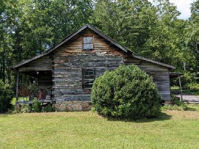
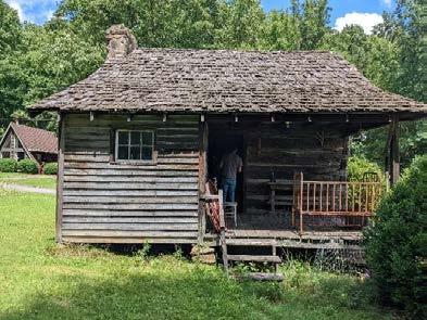
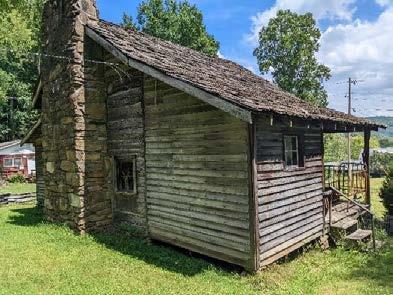
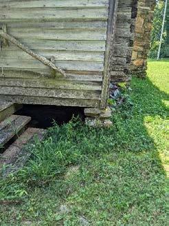
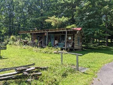
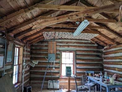
There are several cabins (approximately 15) around the site in a wide range of conditions. The majority were built in the mid 1900’s, and many were moved from previous locations. Several of these have water damage, both from floods and leaks. All would need to undergo further evaluation before being repurposed for public use or housing. They are also generally not ADA compliant, and would need modification to be brought into compliance. The majority are wood-framed structures on CMU stem walls.
the
This is a 4-unit cabin. The center portion consists of stone walls, and wood-framed additions bearing on CMU have been added on to each side. This cabin has had water damage from a flooded nearby stream. There were also wet areas throughout the cabin floor, and the crawlspace had ponding water, indicating a longstanding water infiltration issue.
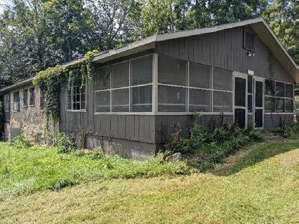
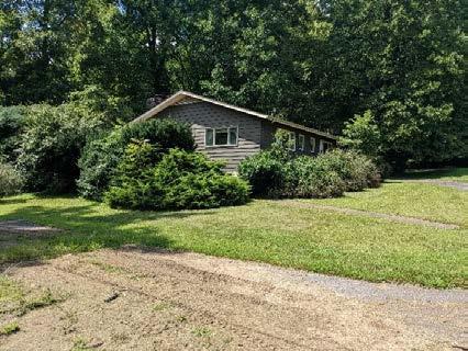
This cabin has two units upstairs and one basement unit. It is wood construction over a CMU basement, with a large rear porch added on.
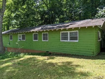
The property maintenance manager indicated that this small, octagonal cabin was once a hunting cabin for George Vanderbilt, and was relocated from a location closer to the Blue Ridge Parkway; however, the tax records indicate it was constructed in 1950. It is wood framing bearing on CMU stem walls, with a bathroom and deck added on.
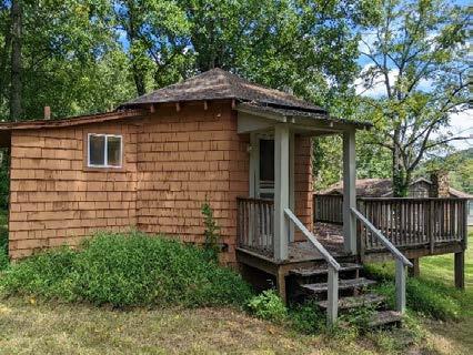
D. Sunrise Cabin (#24 on the Pisgah View Ranch Map)
This cabin consists of a wood roof over CMU walls, with a stone chimney.
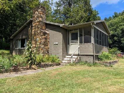
F. Brookside Cabin
This building has been essentially abandoned and is apparently scheduled for demolition.
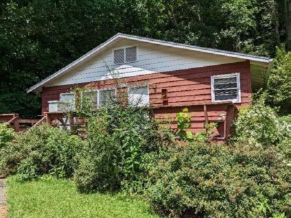
G. A-Frame Cabin (#9 on the Pisgah View Ranch Map)
This cabin consists of an A-frame structure with a classical wood-framed annex. The cabin sits on CMU stem walls. The property maintenance manager indicated that it had been moved from a previous location. In general, the cabin seems to be in good shape, although some cracks in the CMU foundation wall were noted and should be further investigated.
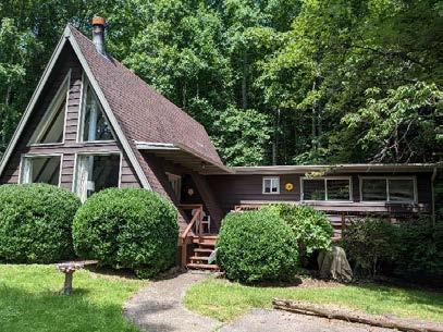
H. (7) Log Cabins
According to those familiar with the ranch, these log cabins were relocated from Malvern Hills in West Asheville. Each has had bathrooms added to the back of the house and have been used as duplex cabins. The cabins have wood framed floors over CMU stem walls, and porches with a variety of supports (timber posts, stacked stone, and stone pillars were observed).
1. Carolina Cabin (#10 on the Pisgah View Ranch Map)
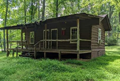
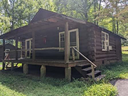
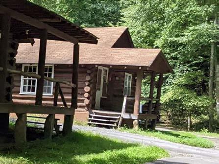
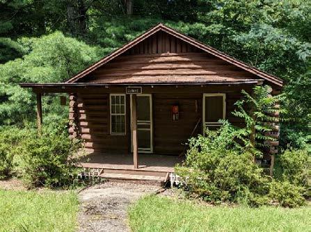
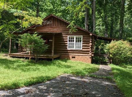
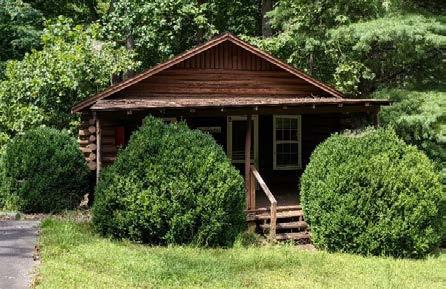
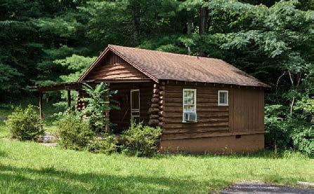
the Pisgah View Ranch Map)
This cabin is wood-framed construction on CMU stem walls with stone, and has a stone chimney.
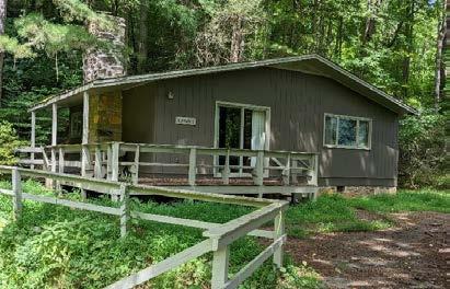
the
This cabin is stone construction with wood roof. Several cracks were observed in the stone walls, and the roof appeared to be in be in bad condition.
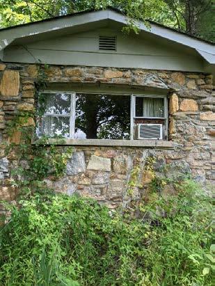
K. Honeymoon Cabin (#5 on the Pisgah View Ranch Map)
This cabin is stone construction with a wood roof. Its floor consists of wood framing bearing on the stone walls and intermediate stone piers. The stone appeared to be in good shape, with no major cracking observed.
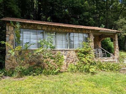
the
This cabin is stone construction with a wood roof and stone fireplace, and a bathroom addition at the back. Its crawlspace is small, and access to the floor framing is limited.
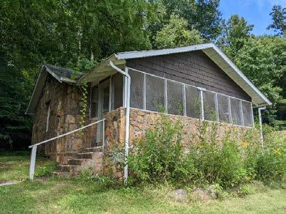
M Whippoorwill Cabin (#2 on the Pisgah View Ranch Map)
This cabin consists of wood-framed construction over CMU stem walls. It appears to be in reasonably good shape with no obvious defects
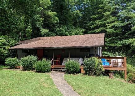
5. Stable / Horse Barn (#27 on the Pisgah View Ranch Map)
This is a barn, with the first story constructed of CMU, and the remainder of the building woodframed. The exterior low roof is extremely deflected due to some of the supporting timber posts sinking into the ground.
Adjacent to the horse barn, there is a “stable shop” which is used for storage. Half of this building is open-air. The structure consists of wood trusses supporting the roof, which are bearing on CMU walls at the closed portion of the building, and on timber beams and columns on the open-air side.
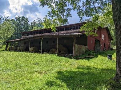
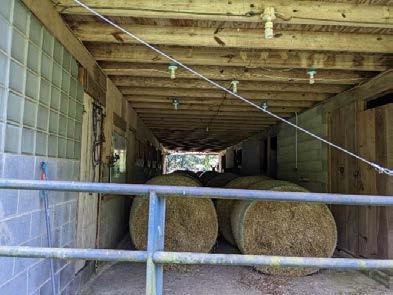
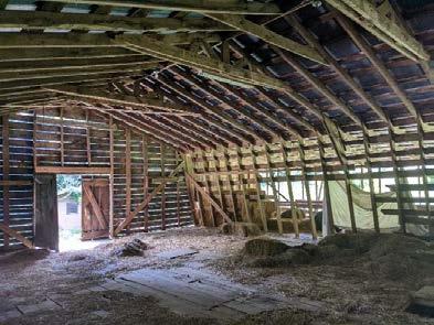
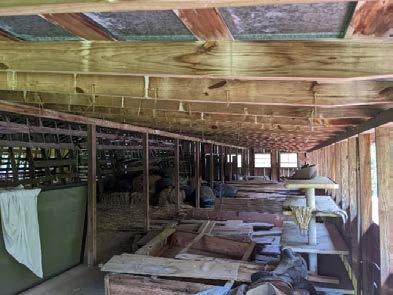
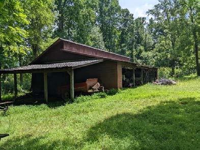
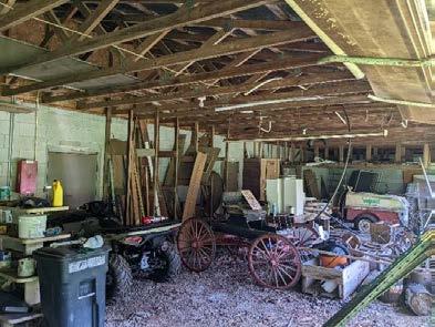
This
There
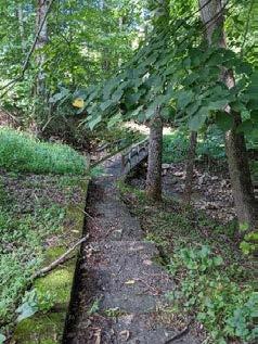
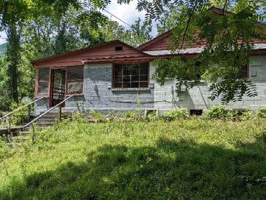
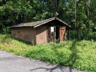
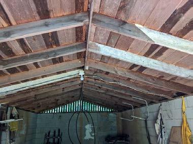
7. Pool
There is an in-ground pool on the property that is no longer used. There is also a small pool equipment building adjacent to the pool.
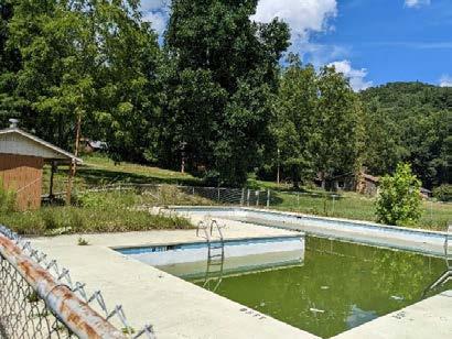
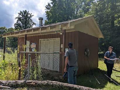
8. Additional structures on site, not seen during this visit
Some structures were not seen during this visit, and should be addressed in a future site visit. These were not seen for a variety of reasons: some of these were still occupied, some are scheduled for demolition, and some are likely dilapidated or abandoned and unintentionally not noted by those on site The locations and conditions of these structures should be clarified with the Pisgah View Ranch staff.
A. Chickadee Building
This is noted as a log cabin moved from Malvern Hills in the state report. It was not seen during this site visit.
B. Mountainview Cabin
This is a cabin noted as being in poor condition in the state report. It was not seen during this site visit.
C. Roadside Motel Log Cabin
The state report notes a 40’s era Roadside Motel log cabin relocated to the site. It was not seen during the site visit.
D. Spruce Cabin
The Spruce Cabin was occupied during the site visit and not seen.
E. Boney Rice House @ Brooks Cove Rd and Davis Creek Road
This house was occupied during the site visit and not seen.
F. Brooks Cove Road Barns
These are apparently scheduled for demolition, and were only seen in passing.
G. Campground Structures
There are apparently a few abandoned structures at the old campground (at the southern portion of the park property) which are scheduled for demolition. The campground area was not seen during this site visit.
H. Tennyson House
This house is near Whippoorwill Cabin and was occupied during the site visit and not seen.
I. Garage Apartment behind Tennyson House
There is a garage apartment in poor condition behind the Tennyson house, which was not seen during this visit.
J. House at Davis Creek Road & Entrance Road
This house is noted as “Howard’s House / formerly known as Wiley Brendell House” on the state report. The state report notes it as dilapidated and recommends demolition. This house was only seen in passing during this visit.
K. Old Chicken House
The state report mentions a building called the “Old Chicken House” that is now only used for storage. This may be referring to the storage building adjacent to the Employee Housing building, and should be clarified with those familiar with Pisgah View Ranch.
L. Steve Cogburn House
This is a large home that was occupied during the site visit and not seen. It is apparently in good shape as is being considered to use as offices and/or ranger residence in the future.
9. Site Work
There are several bridges and retaining walls on site which should be addressed and modified or replaced as needed.
To: Christy Rosas, Amanda Smithson, and Tyson Phillips with NC State Parks
CC: Megan Foy and David Tuch, Equinox
From: Kimberly Williams, Sara Kovachich, and Britt Storck, Alta Planning + Design
Date: 5/30/2023
Re: Pisgah View State Park Master Planning-Initial Trails Site Visit Findings and Summary of Trail Feedback (provided by NC State Parks)
Existing Trails: While many of the existing trails (that are old logging roads) are in decent shape and follow sustainable trail guidelines, some sections do not. The GIS desktop trails assessment, field visit, and the upcoming trail assessment (performed by State Parks) will all inform what reroutes will need to occur. We will identify these reroutes in the draft trails plan. The companion map to this memo shows potential reroute areas based on the field and desktop analysis.
Dear Christy and State Parks Team,
We wanted to be able to provide a summary of what we have heard to date from NC State Parks and provide a summary of initial findings in the field. Below is a summary of both with a companion map (see attachment) representing graphically some of these findings. This memo encapsulates staff comments in order to make sure we have understood everything correctly and also to form some ideas to consider in next steps.
• Front Country Trail Loops: State Parks would like to like to see some early trails suggested for implementation, possibly a 2–3-mile loops. Assess if there is an 4-4.5-mile loop that accesses destination/point of interest. Trails should have a diversity of experience. The Micro-Water Trail Loop, Mary’s Loop Trail, and other areas identified as “early implementation” on the maps could be a good opportunity for low difficulty or even ADA/universal accessible trails. There is an additional opportunity for new single track trails within these 2-4 mile stack looped range that we can explore.
• Accessible Scenic Front Country Trails will also be an important part of the trail plan. The views from the front country/fields are some of the most outstanding these trails can showcase some of those great viewsheds and could be paved or have crushed stone surfacing.
• Mary’s Loop Trail has been identified as an early implementation trail. We recommend some reroute of the trail to avoid steep grades and the trail going off-property. We also recommend additional trails (TBD) implemented as part of a first phase since Mary’s Loop is 1.67 miles and doesn’t have a strong feature of interest.
Decommissioning of Trails and Roads: We heard from staff while on site that they consider most logging roads to be beneficial for the purposes of fire breaks and emergency access and that not many may need to be decommissioned.
Class 1 and 2 bikes may be allowed upon discretion of the park superintendent. We can provide recommendations to this, or restricted areas for ebikes if you would like. Ebikes are a great entry point for differently-abled people, so this perhaps could be considered at least in front country areas.
Staff has provided the following feedback on mountain biking and we have provided some additional thoughts to consider:
• Use and User Conflict Reduction: State Parks is open to mountain biking but want to see conflict minimized with other users, especially equestrian/bike conflicts. Some initial thoughts on this include:
o Staff suggest trails could have total separation of equestrian and mountain biking, with equestrian and hiking utilizing the main property.
o Consider the option of alternating days of use (i.e. hikers/bikers certain days and equestrian/hikers other days). Examples of how this is being done can be seen at the Tsali Trails (US National Forest lands) and Lake James State Park. Christy mentioned she could connect with the State Park superintendent at Lake James to get their feedback on how this is working if this is an option the team wants to consider.
• Consider introductory level mountain biking opportunities. It is a common mention in Western NC by mountain biking advocates that there is very little beginning level mountain biking opportunities. Area of the property that allow family/youth/beginning riders and opportunities to build basic skills is needed. The (old) campground area property could be an appropriate place for this.
• Consider planning for biking demographic known as ‘gravel grinders’ over traditional mountain bikers. This property is more conducive to gravel grinders with its existing trails and with limited room for a variety of mountain biking trails. Gravel grinders are often looking for distance and cardio and are not necessarily looking for technical or downhill trails. They typically ride routes (many old forest roads) within Pisgah National Forest, making the region a hub for gravel-grinders and bikepacking. This would only be an option if it is determined that trails use (equestrian and bikers) can be alternated or separated.
The master planning process may help define whether the park will be equestrian use through concessionaire only or allow for broader public equestrian use. These two scenarios could have an impact on where equestrian access, trailheads, and backcountry amenities (like camping) could occur. Other State Park staff comments on equestrian use:
o See comments on mountain bikes/separated use above
o Equestrians should have their own dedicated trailhead and trailer parking
State Parks have given us the guidance that at least one backcountry camping site could occur and that a fire ring and pit privy might be part of that. As part of trail planning the consultant team will keep that in mind.
State Parks suggested identifying a trailhead area that would allow for backcountry access and eventual overnight backpacking if accessing future US Forest Service/Mount Pisgah connections. We can assess that, but our initial thought is the southernmost property.
Trails and Sensitive Natural Resources: The consultant team was able to visit the trail system for a day with Mountain Region Biologists Sharon Becker. Sharon’s initial impressions is that she didn’t see entire habitat areas that would be off-limits. We have marked up on the map two areas where she may not have visited that could provide opportunities for new trails. Getting Sharon’s feedback on these areas would be helpful. These two areas around the Water Loop and Sam’s Branch.
Trails and Cultural Resources: The team documented many potential sensitive cultural resources that will be ‘negative control points’ that the trails should stay away from. These will be considered in the trail planning process, many of them are near or on existing trails and ridgelines. These are marked as sensitive resource areas on the map.
The following are some next steps to inform the trails plan:
1. Get stakeholder feedback from the Recreation User Group and Equestrian stakeholders on trail-related aspects of the plan. We will work with Equinox and State Parks to come up with an agenda and set of questions to ask the stakeholders. This will happen in June-July 2023.
2. Meet with Amanda Smithson and any other State Park staff virtually to hear about findings from the Trail Assessment. This will further inform the remaining analysis stage of the trail plan. This can ideally happen in June.
3. Get feedback on the public’s desires for trails at the first public meeting. We will work with Equinox and State Parks to develop a framework for that feedback.
4. Post public meeting we can develop an initial draft plan for trails.
Page intentionally left blank