Summary document Coastal Management Program Draft Port Stephens

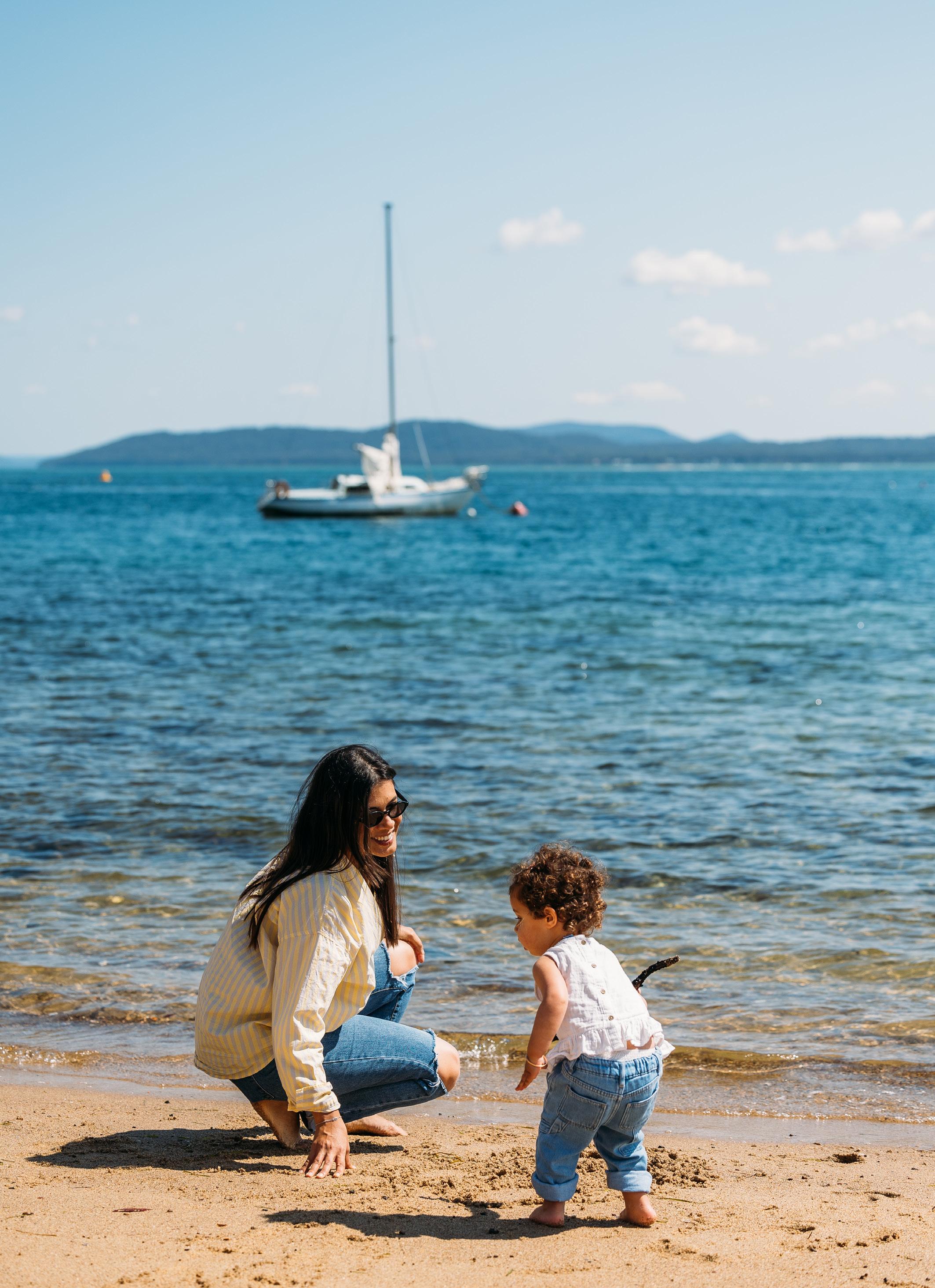
This document provides strategic direction and actions to address threats to the coast and maintain the ecological, social and economic values of Port Stephens’ coastal zone.

This document provides strategic direction and actions to address threats to the coast and maintain the ecological, social and economic values of Port Stephens’ coastal zone.
The draft Port Stephens Coastal Management Program (CMP) outlines 60 management actions aimed at mitigating the impacts of coastal inundation, tidal inundation, coastal erosion and dune transgression over the next 10 years. The economic feasibility of these management actions has been assessed and included in the draft Port Stephens CMP as a business plan.
The draft Port Stephens CMP is on public exhibition from 28 February 2024 until 27 March 2024.
We’re now at Stage 4 of 5 of the Port Stephens CMP, which is the final opportunity for you to provide feedback and input to the document.
Stage 5
Implement, monitor, evaluate and report
We’re here
Stage 4
Prepare, exhibit, finalise, certify and adopt the CMP
Stage 1
Identify the scope of the CMP
Stage 3
Identify and evaluate options
Stage 2
Determine risks, vulnerabilities and opportunities
The development of the draft Port Stephens CMP began in 2019.
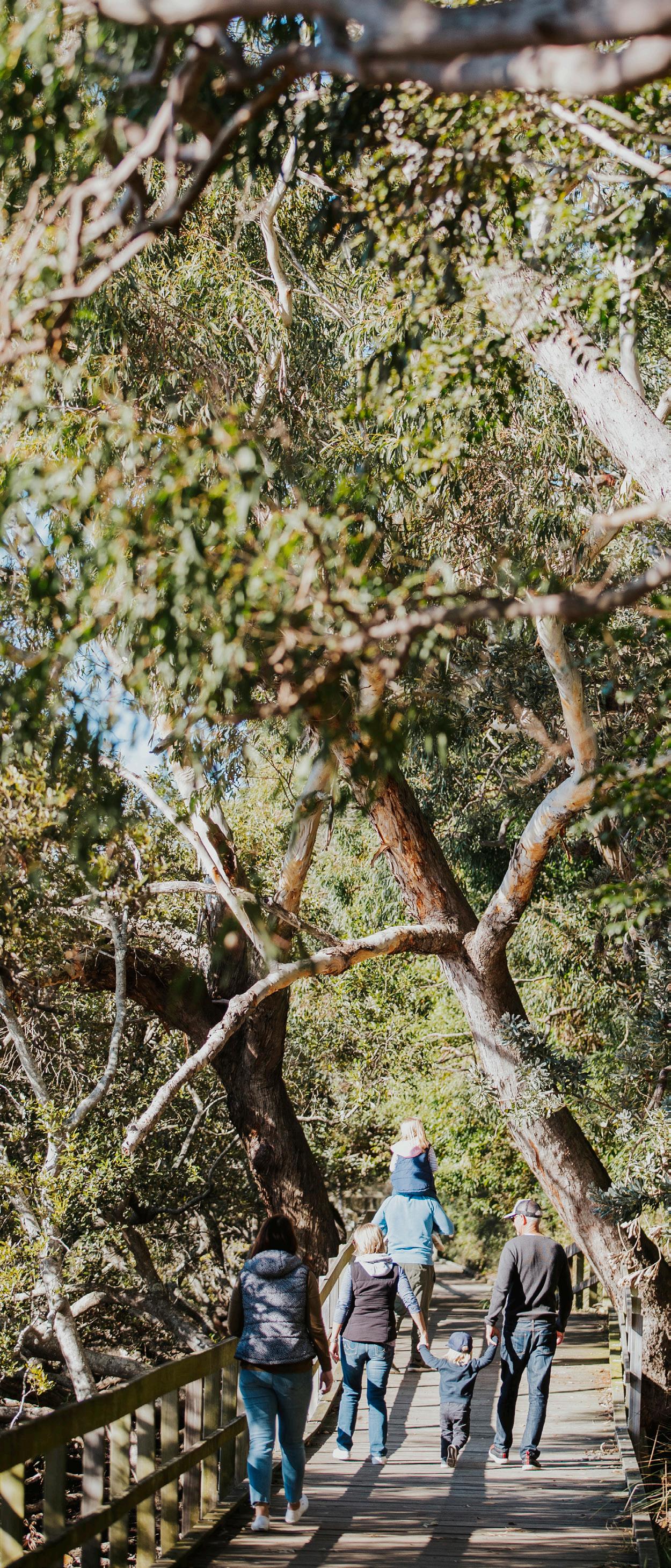
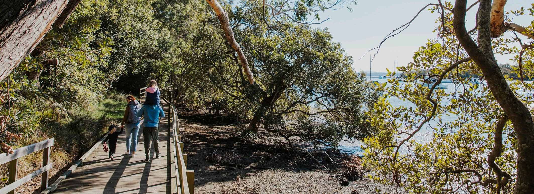
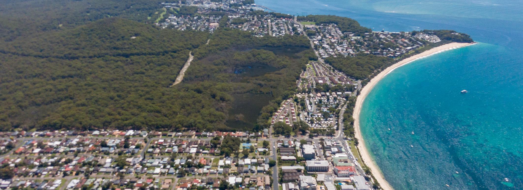
In Stage 1, we identified a range of priority threats affecting the Port Stephens coastal zones. The coastal zones are identified as the open coast, inner port and outer port.
The threats include:
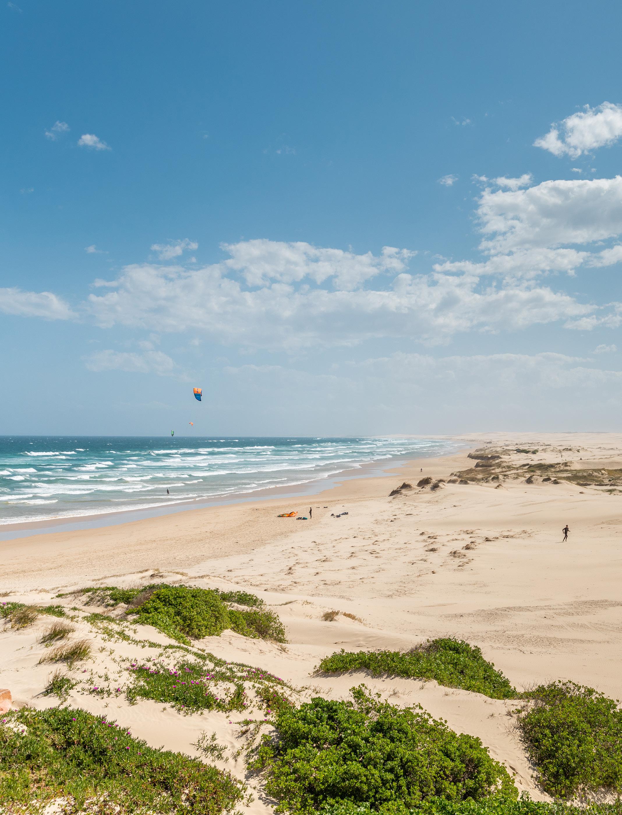
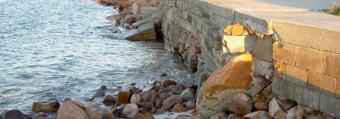
This covers beach erosion, shoreline recession, inundation with wind-blow sand, coastal inundation, tidal inundation, cliff/slope instability, accretion of marine sand.
This covers urban stormwater pollution, acid sulphate soil runoff, agricultural runoff pollution, point source discharge and marine debris.
This covers land clearing and biosecurity.
This covers land contamination and mining and extractive industries.
This covers boating pressures and encroachment onto public land.
Stage 2 was primarily a study stage that modelled coastal hazards across 4 planning horizons: 2020, 2040, 2070 and 2120.
Stage 3 focused on identifying potential management options that could be used to manage the identified priority threats.
We’re now in Stage 4 – the preparation of the draft Port Stephens CMP for exhibition and endorsement and the preparation of a Coastal Zone Emergency Action sub-plan (CZEAS).
Learn more about Stages 1, 2 and 3, including the hazard mapping and potential management options at portstephens.nsw.gov.au/cmp
The prepared draft Port Stephens CMP is a very large and technical document, so we’ve developed this summary to help provide an overview of the key management actions, grouped by coastal zone and the CZEAS.
The majority of these actions, 55 out of 60, will be led by Port Stephens Council. The remaining 5 actions will be led by other agencies.
You can read the full draft Port Stephens CMP at portstephens.nsw.gov.au/cmp
Location: Identifies the zone / suburb that will be addressed by the action
CH = Coastal Hazard threats
WQ = Water quality threats
E = Biodiversity threats
D = Development and Industry threats
RA = Recreational activity threats
Action number: This identifies which threat the management action best targets.
Action description: Provides a short description about the action. A more detailed description can be found in the draft Port Stephens CMP.
Complex actions: *Actions have been identified as complex
All areas CH001
All areas CH002
All areas CH003
All areas CH011
All areas CH012
All areas CH074
All areas CH075
All areas CH077
All areas CH081
All areas CH082
All areas
CH083
Develop and implement a coastal hazard monitoring strategy*
Develop and implement a program for monitoring the condition of coastal structures owned and/or maintained by Council
Work with Traditional Owners to evaluate the level of risk etc
Prepare a planning proposal to incorporate provisions to manage the risks
Document a long-term strategy for local and regional roads under the care and control of Council*
Develop a policy to articulate Council's position regarding the protection of private land
Investigate risk of tidal ingress of stormwater outlets and identify outlets requiring tide gates.
Prepare for implementation of the CZEAS by obtaining the necessary planning approvals, permits and licences
Install tide gates/flaps on priority stormwater outlets
Incorporate consideration of risk arising from coastal hazards into National Parks Plan of Management
Prepare/update the emergency action plans for Council buildings within the present day costal inundation extent
Inner Port, Outer Port
All areas
All areas
CH072
DI001
E001
All areas E012
All areas
All areas
All areas
All areas
All areas
All areas
E016
E017
E019
HE001
RA001
RA002
All areas RA003
All areas
All areas
All areas
All areas
All areas
WQ002
WQ004
WQ005
WQ008
WQ010
Undertake a coastal erosion hazard investigation for the Inner and Outer Port
Work collaboratively and share information about major projects proposed for the open coastal waters
Continue to support pest and weed control management activities on Council owned or managed land
Undertake an ongoing program of sand management and dune rehabilitation
Encourage local volunteer groups to support dune rehabilitation activities
Undertake ongoing compliance monitoring and enforcement of regulations
Undertake management activities to contribute to threatened shorebird protection on NPWS Estate
Develop an engagement protocol and strategy for Council engagement with Traditional Owners and Knowledge Holders
Develop a guideline and education program for private landholders detailing their responsibilities
Progress the implementation of Council's Boating and Fishing Infrastructure Plan
Develop a governance framework for coastal protection structures of unknown management status
Enter into a data sharing agreement to enable sharing of historical and ongoing water quality monitoring data undertaken in Port Stephens
Maintain vegetated riparian corridors through the development process, planning proposals
Develop and implement a campaign targeted at improving the awareness of the general community on catchment management practices
Provide for ongoing enforcement of regulations in dog onleash areas
Support the community to dispose of recreational fishing waste appropriately
Shoal Bay Beach Little Beach Nelson Bay Beach Corlette WQ003
Little Beach Nelson Bay Soldiers Point Taylors Beach RA045
Sandy Point, Corlette CH022
Sandy Point, Corlette CH023
Sandy Point / Conroy Park, Corlette RA016
Dutchmans Beach, Nelson Bay RA030
Corlette RA017
Dutchmans Beach, Nelson Bay RA031
Nelson Bay Beach CH080
Nelson Bay Beach RA034
Salamander Bay CH029
Salamander Bay RA027
Mambo Wetlands, Salamander Bay E004
Mambo Wetlands E008
Mambo Wetlands E018
Implement a Water Quality Monitoring Program focussed on risk to aquatic recreation
Undertake minor dredging for ongoing access to Little Beach boat ramp, Nelson Bay Marina, Soldiers Point boat ramp, and Taylors Beach boat ramp.*
Progress investigations, detailed design and costings for priority options*
Undertake maintenance works / repairs to the existing rock revetment*
Undertake sand carting / beach nourishment to provide improved beach access and amenity*
Undertake works to manage access and rehabilitate the dunes
Undertake works to manage access and rehabilitate the dunes
Replace and relocate stairs and fix fencing to reinstate public access from the car park
Investigate and undertake detailed design coastal protection works to mitigate coastal erosion risk
Undertake works to manage access and rehabilitate the dunes.
Prepare a climate change adaptation strategy for the Foreshore Drive*
Undertake works to manage access and rehabilitate the dunes
Support implementation of the Mambo Wetlands Plan of Management
Conduct an ecological survey of Mambo Wetlands to include habitat mapping and identify any trends in the habitats to compare to previous surveys
Prepare a new, updated Plan of Management for Mambo Wetlands.
Shoal Bay RA012
Shoal Bay WQ007
Shoal Bay CH073
Shoal Bay CH017
Shoal Bay RA011
Soldiers Point HE002
Soldiers Point E005
Kangaroo Point, Soldiers Point RA036
Tanilba RA020
Tilligerry CH005
Swan Bay CH078
Undertake works to manage access and rehabilitate the dunes*
Undertake an investigation to identify wastewater pump stations in the Port Stephens catchment.
Develop a climate change adaptation plan for the Shoal Bay precinct*
Undertake investigations to assess the risk to Shoal Bay Road from coastal erosion*
Undertake sand carting/beach nourishment to provide improved beach access and amenity
Progress the implementation of the Soldiers Point Aboriginal Place Plan of Management in partnership with the Traditional Owners
Support implementation of the Soldiers Point Littoral Rainforest Management Plan
Minor shoreline re-profiling and landscaping works*
Landscaping works for bank stabilization including re-vegetation works and annual maintenance.
Prepare a climate change adaptation strategy for the Tilligerry Peninsula*
Undertake maintenance works / repairs to the existing seawall and clean out stormwater outlet
The draft Port Stephens CMP identifies 13 management actions as complex. These have been identified with an asterisk in the tables above.
Each of these actions has a more detailed description in the draft Port Stephens CMP (see pages 39 to 77). We’ve highlighted three of these complex actions as an example.
Coastal threats to be addressed: Primarily coastal inundation and tidal inundation
Action description
This management action proposes developing an adaptation strategy to balance protection of public, private, natural, and cultural assets. The adaptation strategy will consider land use viability and community values for long term sustainability.
To protect private development, a combination of adaptation and mitigation options are needed, including asset relocation, land use changes, asset and road elevation, and property development controls. Detailed assessments are necessary to ensure effective adaptation.
Cost
Preparation of adaptation plan estimated at $200,000
Action type
Planning for change
Benefits
Timing
Proposed to be prepared in year 6 or 7 of the draft Port Stephens CMP
• Enables improved understanding of the impacts of climate change on the peninsula, particularly with respect to joint occurrence events (e.g., combined catchment flooding and coastal inundation due to an east coast low).
• Facilitates improved community understanding of the hazards and risk, and discussion on acceptable and unacceptable levels of risk to built, natural and cultural assets.
• Facilitates planning for and coordination of a response by the various relevant stakeholders.
Related management actions:
CH001 – Coastal hazard monitoring strategy
Coastal threats to be addressed: Coastal erosion, shoreline recession
Action description
This management action proposes temporary toe rock protection constructed along the 420 m long coastline section east of Sandy Point, including the eastern and western groynes.
Cost
$1,156,500 capital cost + $16,500 ongoing annual costs
Action type
Active Intervention
Benefits
Timing
Proposed to begin in year 2 of the draft Port Stephens CMP with ongoing annual recurrent costs applied every year after.
• Provide improved structural integrity for the existing revetment to improve its ability to withstand coastal processes.
Related management actions
CH022 – Progress investigations, detailed design and costings for priority options from the Whitehead and Assoc. (2015) Management Plan for Sandy Point/Conroy Park.
CH072 – Coastal erosion hazard investigation.
RA016 – Sand carting/beach nourishment
Coastal threats to be addressed: Beach erosion and shoreline recession
Action description
Given that Shoal Bay Road provides the only access to parts of Shoal Bay and Fingal Bay there is a level of concern that the level of risk from beach erosion and shoreline recession to Shoal Bay Road is unacceptably high.
Cost
$200,000 to engage a suitably qualified consultant to undertake detailed study/investigations
Action type
Avoid Future Impact
Benefits
Timing
The option has been programmed to begin in Year 3 of the CMP, with the aim of inputting the preferred option into the next Port Stephens CMP
• The study would provide Council with an understanding of the level of risk to this key access road.
• Enables development of a ‘shovel-ready’ project ready for implementation in the next Port Stephens CMP (2035-2045).
Related management actions
CH073 – Adaptation plan for the Shoal Bay precinct
CH072 – Coastal erosion hazard investigation
RA011 – Sand carting at Shoal Bay
RA012 – Access management and dune rehabilitation.

You can attend either in person at the Council Administration Building, Raymond Terrace or via Zoom; call Council on 4988 0255 to book your spot between 10 am to 4 pm on either Wednesday 13 March 2024 or Thursday 14 March 2024.
You can attend a local drop-in session at the following locations:
• Wednesday 13 March 2024 between 5 to 7pm at Birubi SLSC Meeting Room, Anna Bay
• Thursday 14 March 2024 between 5 to 7pm at Bruce Scott Pavilion, Tomaree Sports Centre, Nelson Bay
The draft Port Stephens CMP is on public exhibition from 28 February 2024 until 27 March 2024.
Visit haveyoursay.portstephens.nsw.gov.au to have your say.
Following the public exhibition period, feedback will be collated, with each submission addressed and responded to in a Council report.
The draft Port Stephens CMP is scheduled for endorsement by Council in May 2024. It will then be sent to the Minister for Local Government for certification, with the aim to be ready to start being implemented in late 2024.