15 minute read
IN THE GARDEN A round up
English Country GARDENS
This month the NGS will publish its Yellow Book, the gardener’s bible for those seeking a great day out and inspiration for their own plot. Here, Vicky Flynn tells us why the NGS is a great organisation for charities, as well as the public...
Advertisement
HOW DOES YOUR GARDEN GROW? If the answer is ‘very well, thank you!’ then perhaps you should consider opening our beautifully curated gardens for visitors during the NGS season. Founded in 1927, the charity is a really neat way for keen gardeners to show off their handiwork, for visitors to get lots of ideas and inspiration for their own gardens, and it’s a super way for charities to earn some much-needed post-Covid funds.
When it first opened, the NGS comprised of a still impressive 690 open garden events, raising £8,100.
In 2020 though, 3,700 gardens were due to open, and the charity raises an average of £3m a year. In total, it has donated £63m to nursing and health charities. Vicky Flynn is the National PR manager for the NGS and says: “The National Garden Scheme doesn’t just open beautiful gardens for charity – we are passionate about the physical and mental health benefits of gardens too. We also support charities doing amazing work in gardens and health and grant bursaries to help community gardening projects.” Over the page we’ve picked 12 of our favourite local gardens to visit over the next couple of months. Not only will you enjoy a leisurely stroll around some of the area’s most beautifully curated gardens, you’ll also help raise money for charity and at pretty much all of the gardens, you’ll be able to enjoy cream teas and purchase a plant or two from the gardens’ stalls to take home. >>
Top: Redhill Lodge, Barrowden. Above: Dr Sarah Furness, Old Vicarage.

Sunday 27th March
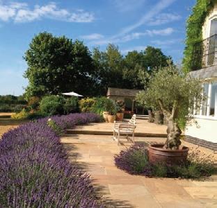
GUNTHORPE HALL, OAKHAM, is a large garden in a country setting with extensive views across the Rutland landscape with the carpets of daffodils being a key seasonal feature. The Stable Yard has been transformed into a series of parterres. The kitchen garden and borders have all been rejuvenated over recent years. n 2pm - 5pm, Gunthorpe Hall Gunthorpe, Oakham LE15 8BE.
Kelmarsh Hall.
Sunday 8th May
BURROUGH ON THE HILL, was built in 1867 as a classic hunting lodge. The garden, framed by mature trees and shrubs, was extensively redesigned by garden designer George Carter in 2007. This family garden designed for all generations to enjoy is surrounded by magnificent views across High Leicestershire. n 2pm - 5pm, Burrough Hall Leicestershire LE14 2QZ.
Redhill Lodge, Barrowden. Gunthorpe Hall, Oakham.
Sunday 24th April
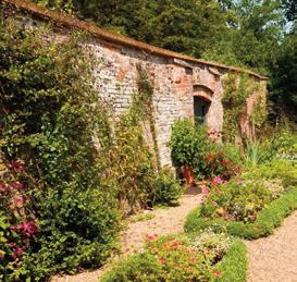
KELMARSH HALL, is an elegant Palladian house set in glorious countryside with highly regarded gardens. Hidden gems include an orangery, sunken garden, long border, rose gardens and, at the heart of it all, a historic walled garden. Highlights throughout the seasons include roses and dahlias. n 10am - 4pm, Kelmarsh Hall, Northamptonshire NN6 9LY.
The Old Vicarage, Whissendine.
Thursday 2nd June
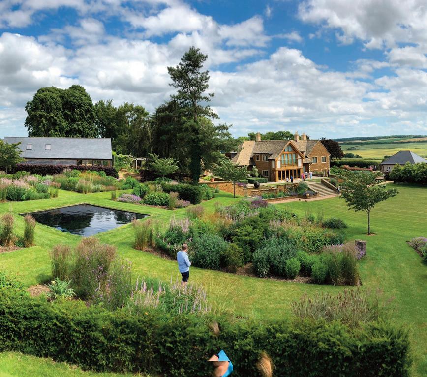
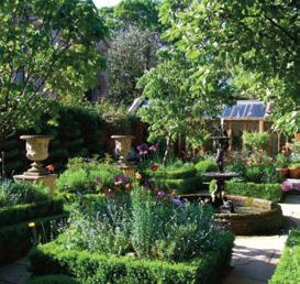
REDHILL LODGE, will open for a twilight NGS event with its bold contemporary design with formal lawns, grass amphitheatre and turf viewing mound, herbaceous borders and rose garden. New for 2022 is a Japanese-style stroll garden, natural swimming pond, plus prairie style planting schemes. n 6.30pm - 9pm, Redhill Lodge Barrowden LE15 8EN.
Saturday 9th April
THE SOUTH GARDENS of Burghley House will open for the NGS with spectacular spring bulbs in park like setting with magnificent trees and the opportunity to enjoy Capability Brown's famous lake and summerhouse. Entry via Garden Kiosks. Garden opening coincide with Burghley’s FIne Food Market. n 10.30am - 3.30pm, Burghley House PE9 3JY. Also Sun 10th Apr.
Easton Walled Garden, Grantham.
Sunday 15th May
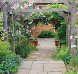
THE OLD VICARAGE, has a terrace with topiary, a formal fountain courtyard and raised beds backed by gothic orangery. Large ornate greenhouse, four beehives, Gothic hen house plus rare breed hens. White walk, unusual plants. New Victorian style garden room. Featured on BBC Gardeners' World in 2019. n 1pm - 4.30pm, The Old Vicarage, Whissendine LE15 7HG.
Home Farm, Ryhall.
Friday 15th April
EASTON WALLED GARDENS, 400 year old, restored, 12 acre garden near Grantham. Home to snowdrops, sweet peas, roses and meadows. Other garden highlights include a yew tunnel, turf maze and cut flower gardens. The Courtyard offers shopping, plant sales, a coffee room and beauty salon. n 11am - 4pm, Easton NG33 5AP Seven miles south of Grantham.
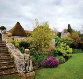
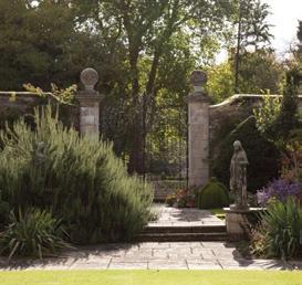
Fox Cottage, Ashwell.

Sunday 22nd May
FOX COTTAGE IN ASHWELL is a two acre country garden on the edge of the village with sweeping views across the surrounding open fields. Walks through the wonderful ancient oaks and ash underplanted with spring bulbs and lawns surrounded by rampant cow parsley. South facing terrace with seasonal planting. n 11.30am - 4.30pm, Fox Cottage Woodside, Ashwell LE15 7LX.

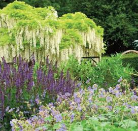
Fox Cottage, Ashwell. The Old Hall, Market Overton.

Sunday 8th May
MILTON HALL is located just off the A47 and features 20 acres of pleasure grounds laid out by Humphry Repton in 1791 inc lake, mature trees, extensive lawns, hard gravel paths, historic orangery. Enclosed walled Italian garden and kitchen garden. n 10.30am - 5.30pm, Milton Hall Milton Peterborough, PE6 7AG.
The Old Vicarage, Burley on the Hill.
Saturday 25th June
HOME FARM is a colourful, scented garden designed to encourage wildlife. Herbaceous and shrub borders, fruit cage and vegetable garden and orchard of old local varieties of top fruit. Showstoppers in mid-summer are the roses and honeysuckle. Woodland walk, formal walled kitchen garden and listed dovecote too. n 1pm - 5pm, Home Farm Ryhall, PE9 4HA.
Sunday 24th April
THE OLD HALL, in Market Overton features stone walls and yew hedges divide the garden into enclosed areas with herbaceous borders, shrubs, and young and mature trees. There are interesting plants flowering most of the time. In 2020 a Japanese Tea House was added at the bottom of the garden. n 1pm - 5pm, The Old Hall Market Overton LE15 7PL.
Milton Hall, Peterborough.
Sunday 29th May
THE OLD VICARAGE at Burley on the Hill is a relaxed country garden, planted for year-round interest and colour. There are lawns and borders, a lime walk, rose gardens and a sunken rill garden with an avenue of standard wisteria. Walled garden, two orchards, an acer garden and areas planted for wildlife. n 10.30am - 5pm, The Old Vicarage, Burley LE15 7SU.
The Old Vicarage, Burley on the Hill.
Made For WALKING
This month we’re enjoying a trio of walks in Rutland with three routes recommended by Walking Britain...
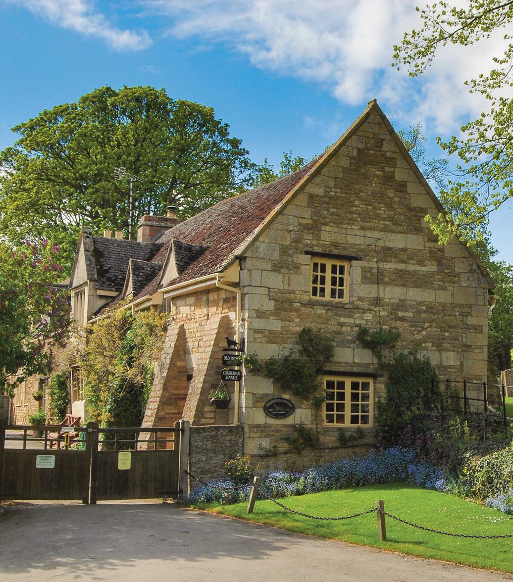
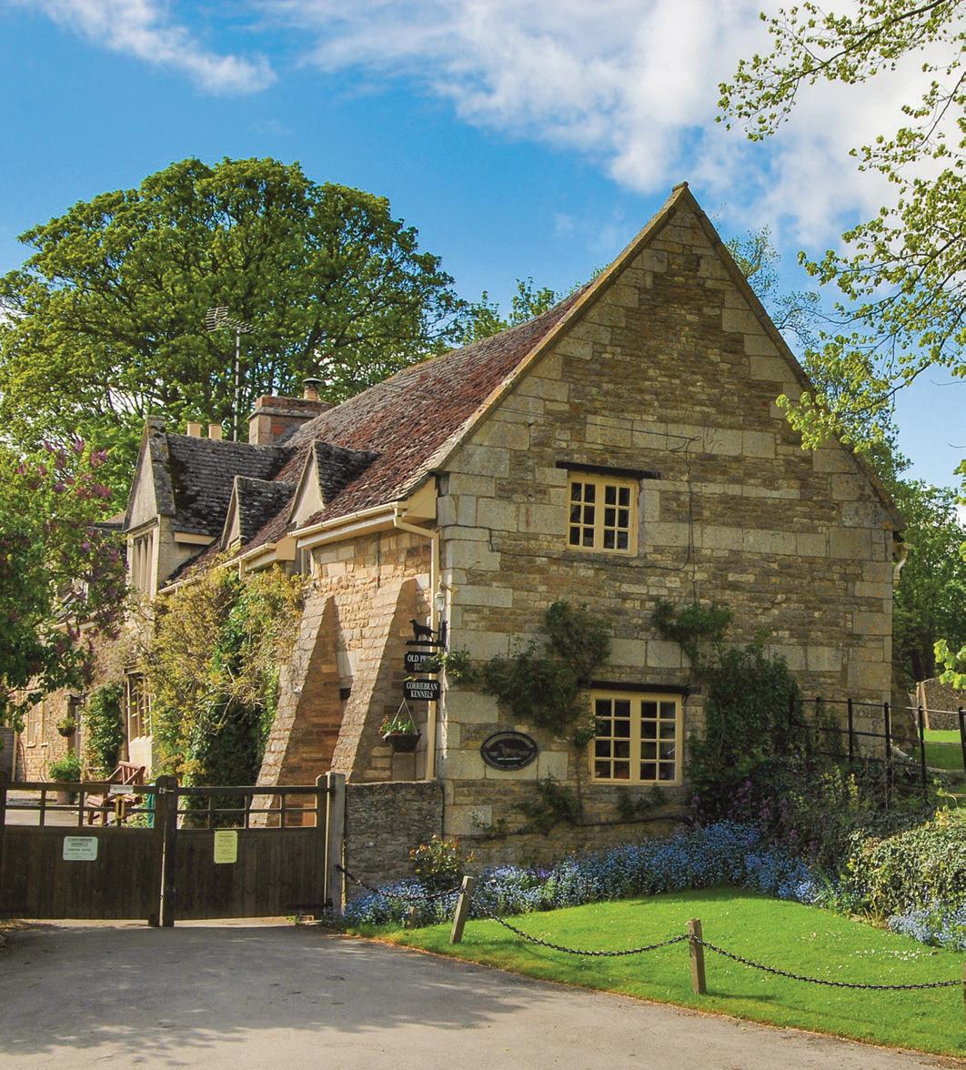
Image: Hambleton’s Priest’s House and St Andrew’s Church.
n Hambleton Peninsula Circular...
Distance: 4.9 miles / 8 km. Difficulty: Easy. Time: About three hours. How to Get There: LE15 8TJ (approx); OS grid reference SK900075 More Information: www.walkingbritain.co.uk.
RUTLAND WATER was officially inaugurated in 1976. Until construction began Upper Hambleton stood on high ground surrounded by countryside.
As the reservoir was gradually flooded the area around the village soon became a peninsula with a narrow strip of land connecting it to the ‘mainland.’ This walk uses concessionary footpaths around the peninsula following a clockwise direction along the shores of Rutland Water.
The start of the walk is the centre of the village (grid ref. SK900075). There is limited on-street parking but do be considerate and make sure you do not block residents’ access. Note that on busy days parking will be at a premium. After parking follow the road towards Oakham that you used to reach Upper Hambleton. After approximately 250 metres take the signed multi-use path on the right (grid ref. SK899078). This leads a convoluted but well-signed route around the peninsula roughly following the north shore with views across Rutland Water. The track eventually reaches a road (grid ref. SK920067). Turn right along the road for 200 metres and take the continuation of the multi-user track on your left. The route now proceeds along the southern shore of the peninsula to pass through Hambleton Wood. Soon after leaving the woodland you pass a footpath on your right. Ignore this path and continue past Limes Farm following the tarmac lane along the shore. Do not follow the lane into Upper Hambleton, instead bear left onto the continuing multiuser path along the shore for 400 metres and take the next signed footpath on your right (grid ref. SK895075). Follow this gently rising path into the village passing through the churchyard back to the start. n Route: Lou Johnson, Walking Britain.
n A Ramble Around Riseholme...
Distance: 7 miles / 11.2 km. Description: A pleasant walk with just one short ascent. Mostly field paths and tracks with some short stretches of road, plus two crossings of the A15. How to Get There: Start at St Mary’ s Church, Riseholme College, Lincoln, LN2 2LF, SK984757.
THIS WALK through counties starts at the picturesque village of Lyddington. The village is reached by turning south off the A47 near Uppingham onto A6003 and then down a signed secondary road on the left. Note there is no official car park so leave your car near to the White Hart Inn. Please make sure that you do cause any inconvenience to residents and park responsibly. It is also worth remembering that Lyddington is the site of Bede House, maintained by English Heritage, and is a fine example of a medieval almshouse. To start the walk, take the side road by the inn (Stoke Road). After a short way join the footpath on the right (grid ref SP873970). Follow this path as it continues uphill. On reaching the road at a junction go straight across and up the lane opposite. Where the lane goes left, take the bridleway to the right of the house. As you follow the bridleway it will become a fenced path. Take time to look to the left and you will see a magnificent view of Eyebrook Reservoir. This reservoir was used by the Dambusters (617 Squadron) for practice prior to their epic raid during the Second World War. Continue along the path and you will see a stile on the left-hand side which leads into a plantation of saplings. Take this path which will take you into Stoke Dry Wood. Follow the path as it descends and then cross the field. Go over the bridge over the Eye Brook and diagonally left to the road and the tiny hamlet of Stockerston.
Go straight across into Church Lane and take the signed path on the left (grid ref. SP835975). This leads across fields to reach Stockerston Cross Roads (grid ref. SP826963). Take Uppingham Road (B664) towards Medbourne. At the first road junction stay on the B664 and continue for 400 metres passing Priory Farm on your left. Just past the farm take the footpath on the left (grid ref. SP819953). Take this path straight across the first field, then diagonally to the right until you have the stream on your lefthand side. After a short distance, you cross the stream with the stream now on your right. The path leaves the stream as you go diagonally to the left towards the village of Great Easton. Reaching a farm lane, turn left and some yards further on go right. This will lead you into the village proper. Reaching the road bear right and walk through Great Easton. At the far end of the village is the public house The Sun and also seating by the war memorial if you need a break. To continue the walk follow the Rockingham Road until you see a footpath sign 'Jurassic Way' on your right. You will see Rockingham Castle rising up in front of you as you walk along this path. On reaching a road, turn left and then after a short way go right following the footpath sign. This will lead you into the village of Rockingham. On reaching the main road through the village, via a public house courtyard, turn right. Cross over and higher up amidst the houses you will see the continuation of the Jurassic Way. Turn left through the gate immediately after the houses, then go diagonally across the field. The route then continues in more or less a straight line until you reach a railway line on the edge of Gretton. Go under the bridge, go to the left and climb the slope. At the top you will see the village of Gretton in front of you. When reaching the road, follow it to the left and then right, then left again until you arrive in the village square where there's a newly opened coffee shop. After refreshments, take the lane to the left of the church. This leads you to a footpath. Walk diagonally across the field to the railway line. After crossing the line carry on to the right to reach the River Welland. A little further on cross the bridge over the river. Continue on the path under a disused railway to reach a road. Continue back to Lyddington. n Route: Lou Johnson, Walking Britain.
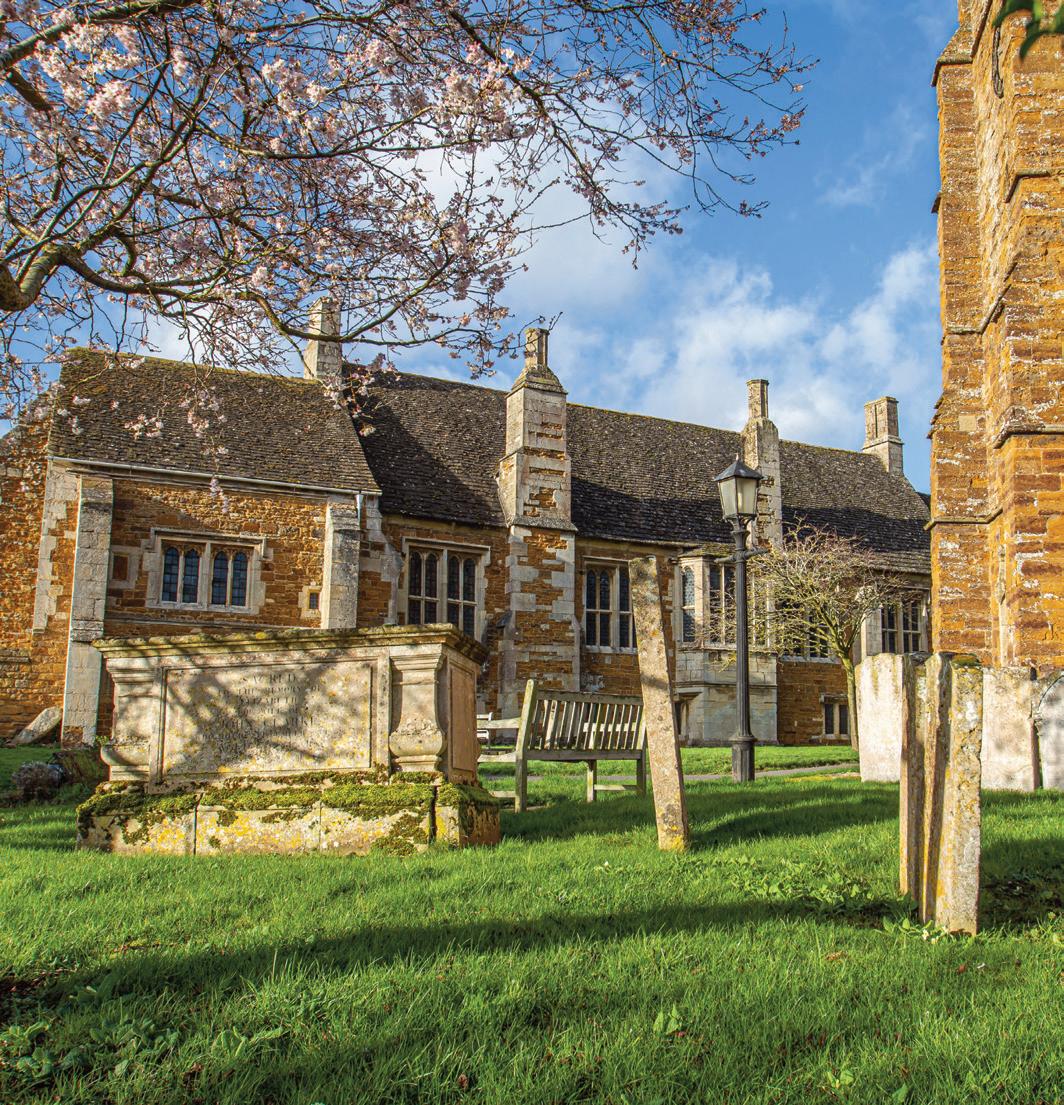
Lyddington Bede House Lyddington Bede House is a Grade I listed building built in the 12th century as a convenient place for the Bishop of Lincoln’s entourage to stop when traversing the huge diocese.
Lyddington Bede House.
n The Morcott & Harringworth Circular...
Distance: 7.2 miles / 11.7km. Difficulty: Easy to moderate. Time: About four hours. How to Get There: LE15 9DT (approx); OS grid reference SK925007 More Information: www.walkingbritain.co.uk.
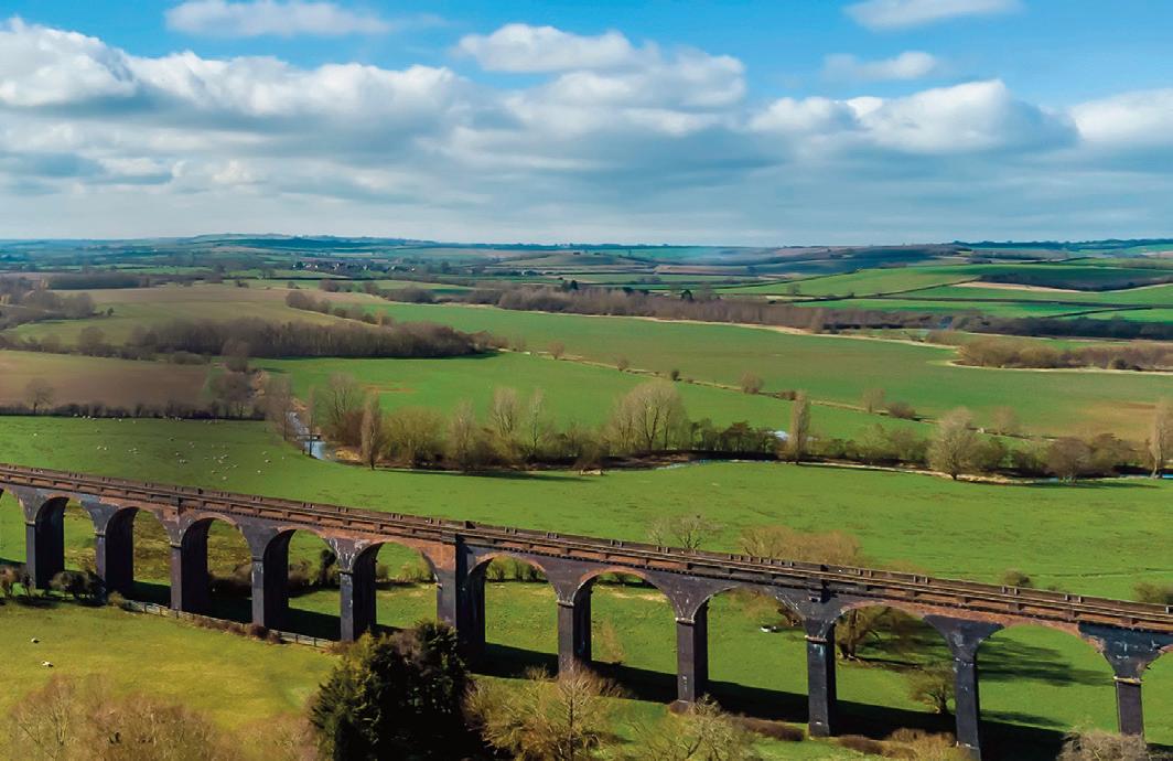
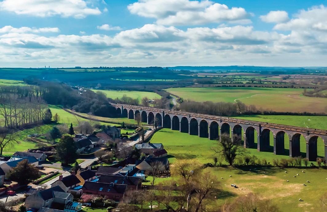
THIS CIRCULAR WALK from the Rutland village of Morcott follows a section of the Jurassic Way along the Welland Valley to reach Harringworth in Northamptonshire. The route continues beneath the Welland Viaduct to return to the start following the Rutland Round walk. The highlight of the walk is the Welland Viaduct which was built in the 1870's by the Midland Railway. With 82 arches, it is the longest masonry viaduct ion Britain. The walk can be started in Morcott or Harringworth.
Morcott to Harringworth The start is the centre of Morcott village where very limited street parking is usually possible on High Street (grid ref. SK925007).
After parking walk south. Mount Pleasant Road will be on your right and Station Road on your left. Reaching a T-junction, cross the road and take the signed path opposite.
Cross the field using aiming for the windmill. You will pass a way marker before passing through a small wood to reach the A47 (grid ref. SK930003). Turn left along the pavement and then cross with care and take the minor road to Barrowden. After 1.3 kilometres you enter Barrowden. At the road junction turn right onto the road to Seaton (grid ref. SK942001).
Take the first footpath on the left along a tarmac drive (The Jurassic Way). Turn right over the stile and continue half right across three fields to reach the formation for a former railway line. Bear right and follow the path which runs parallel to the old railway for 1.4 kilometres to reach a track with an old railway overbridge over to your right (grid ref. SP927986).
Turn left along the track and cross Turtle Bridge over the River Welland into Northamptonshire. Turn right along the path which follows the river on your right. Entering the third field, ignore the path on the left and continue along the track.
After another 300 metres the track bends left. Continue ahead into a field and head half right to reach a road (grid ref. SP918973). Turn right along the road to the centre of Harringworth village.
Harringworth to Morcott An alternative start is from Harringworth village centre where limited street parking is usually available (grid ref. SP917973). Leave the village centre on the road signed to Gretton. Take the first signed footpath on the right as you approach the viaduct.
The path heads half left across the field beneath the viaduct to a footpath sign at the River Welland (grid ref. SP911971). Cross the footbridge and continue on the grassy track to reach a hedge. Turn right and follow the path around the house crossing a footbridge and two stiles to join the access drive. Turn right up the drive to a road (grid ref. SP907977).
Turn right and then immediately left through a gate, up steps and across the old railway. The path crosses several fields towards the church spire in Seaton village.
Reaching Church Lane, turn right and walk to a T-junction. Turn right along Main Street. Go straight across the crossroads to Barrowden.
You are now following the Rutland Round and able to enjoy a view across the Welland Valley on your right. As the road descends and curves right, take the signed footpath on the left passing through a gate (not the stile) and heading through the field with the field boundary on the left. At the end of the field go through gate on left, then right through another gate to pass under the disused railway, which is now covered in trees. Follow path straight across a field to a gap from where you cross another field with the path soon running parallel to a hedge on your right. Continue to the end of the hedge. From here maintain direction on a clear path running parallel to the old railway on your right. This leads past some houses on your right to reach the A47. Cross the A47 with care to the road opposite. After a few metres take the signed path on the right. Go half left across the field to a gap in the hedge, pass through paddock using the waymark as a guide. Then follow fence on your right to join Mount Pleasant Road which leads to the High Street. n
Route: Lou Johnson, Walking Britain.
