1 minute read
Green Spine


Advertisement
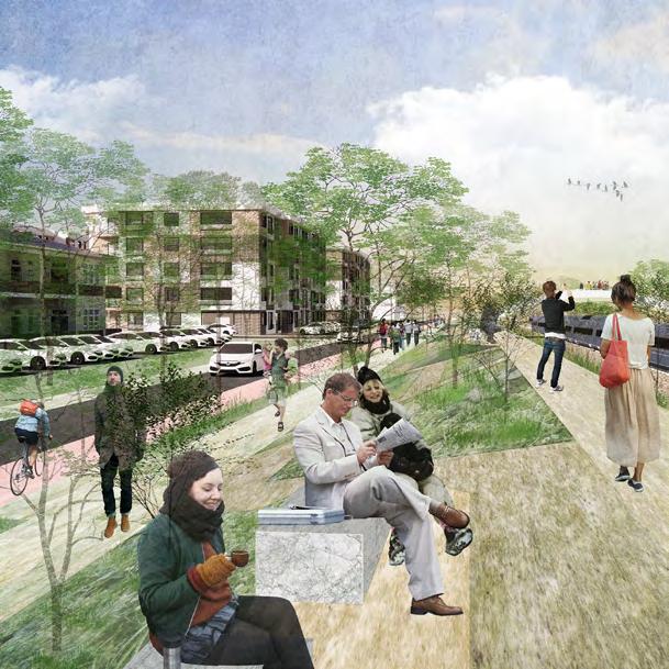
The series of open spaces along the rail lines provide green, lively experience from the transportation hub, through residential districts, to the offices and extends westward. Jogging or bicycling on the fitness tracks all along the green spine, people can get an access to natural exploration and wildlife protection center with intimate natural wild experience and river walk by crossing the pedestrian bridge or the getting through the tunnel, natural park for agriculture, picnic, sightseeing and various landscape experience, meditation zone for self-exploration, playground for entertainment, water park for observing the process of water purification, vibrant park for various team experience, sports park for exercise and having fun, and rain garden for playing with water. Green Belt

Our first focal point is the University Park Amtrak Station. As an important gateway for traffic from Boston and nearby cities, this station facilitates both railway transit and acts as a stopping point for vehicles from nearby communities. At the moment the majority of building footprint is dedicated to parking and vehicle storage. However, being the very first building to be seen from the highway, we believe it has a lot more potential than its current development. A few changes on the architectural level, if introduced, could increase the surrounding foot traffic and establish a more coordinated local traffic network. An open ground floor with a central courtyard also provides much needed public space around this block.
We introduce convenient and pedestrian-friendly paths from the Westwood neighborhood to the site so that people get easy access to what makes their lives wonderful. The largely shortened distance also stimulates green travel with less reliance on private cars.


On the north west of the site where there’s dramatic elevation difference, a bridge connected to the roof garden on the strip mall then down to one of the main recreational green open spaces contributes to a pleasant walk. Elevators inside the buildings are also utilized for connection between different levels. The ground floor facing the lower side can be occupied by service stores at the front and car parking at the back and it reduces ground parking.