2 minute read
Miller Creek Trail Great for Families & Everyone Else
The Miller Creek Trail follows part of the stream it is named for, which usually takes the form of a babbling brook running down from the mountainside. In spring it can be more a raging creek — as the snow in the mountains melts — then shrinks to a trickle in the summer.
It traverses ponderosa forest and riparian woodlands that host nuthatches, acorn woodpeckers and other small forest birds.
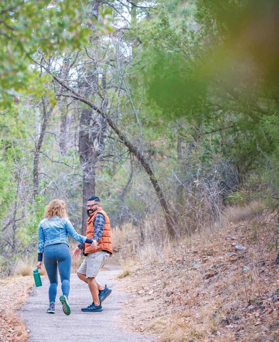
This short trail’s slight incline makes it an easy route, and its attractive scenery makes it ideal for introducing younger children to the joys of hiking outdoors and learning about different animal and plant species.
The trees are plentiful but not overly dense, which makes it easier to spot kids who tend to wander off into nature when they can. It follows the south bank of the creek and can be crossed on foot, wheels or horses during lower flows.
This single-track stretch and many others in the area have been included in courses for the Whiskey OffRoad mountain bike races held at the end of April, so it is well-used by those training for or fantasizing about the iconic MTB event that brings throngs of enthusiasts to Greater Prescott.
Since this trail is not directly accessible from a parking lot, it is included in a variety of looping routes in the shadow of Thumb Butte. One 3-mileplus loop travels along the trail until it ends at Thumb Butte Bypass Trail No. 326. This trail climbs the terrain until it reaches Garden Grove Trail No.392, which treks back to the Miller Creek trail toward the parking lot.
This route provides a nice variety of tree- and cactus-studded habitat.
At its eastern end ,the Miller Creek Trail also branches off into Pott’s Creek Trail No. 327, which continues for another half-mile to the foot of Thumb Butte Trail No. 33 up and down the west side of that landmark, a good alternative approach to that very busy walkway.
MILLER CREEK TRAIL NO. 367
Miller Creek Trail No. 367 is part of the South Thumb Butte network of trails in Prescott National Forest. It is used by hikers, mountain bikers and horse riders, so users should remember the rules of sharing the trail: Wheels Yield to Heels — which could be amended to say, “Yields to Hooves.”
Cyclists and anyone else in a nonmotorized vehicle are asked to yield to all other users, while hikers and runners should make way for equestrians. For more information about trail etiquette visit www.fs.usda.gov/detail/prescott/ recreation/?cid=fseprd739178.
Trail No. 367 is accessible by taking short pieces of the West Trail No. 318 and Javelina Trail No. 332 from the Thumb Butte Recreation Area parking lot, about 3.5 miles west of downtown Prescott on Gurley Street/Thumb Butte Road.
Parking fees: $5, free on Wednesday Uses: Hiking, mountain biking, horseback riding Distance: 0.6 mile (one way) Level of difficulty: Easy to moderate Elevation: Approximately 5,700 feet


