Landscape

THE ROYAL PHOTOGRAPHIC SOCIETY LANDSCAPE GROUP


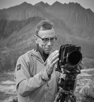
In spite of the name, Joe Cornish is a North Yorkshire-based landscape photographer with a fine art background. He has written and photographed many books, including First Light: A Landscape Photographer’s Art, Scotland’s Coast and Scotland’s Mountains. He is an Honorary Fellow of the RPS.
Nigel is the President of the Royal Geographical Society (RGS). He was smitten by geography at school, thanks to inspirational teachers and field trips to the fells and rivers of the Lake District. He earned an MA in Geography from Cambridge University and an MBA from the University of Strathclyde. Alongside geography, Nigel is passionate about the arts, being a fellow of the Royal Society of the Arts. He is also a Fellow of the Royal Institution of Chartered Surveyors and the Chartered Management Institute. For a number of years Nigel served as CEO of Ordnance Survey, where he led the transformation of Britain’s Geospatial Commission on behalf of the British government.


Vanda is a semi-professional landscape photographer living in London. Her interest in photography was sparked in her teens and is now an inseparable part of her life. “I am passionate about capturing the world we live in, always searching for those fleeting moments of magic that transform it into something extraordinary”.
Having grown up in an industrial area of former Czechoslovakia, Vanda soon learnt how to appreciate the beauty of the natural world, far away from the big city. Nowadays she finds most inspiration in quieter scenes and intimate details, whether it is on the coast, in woodland, in the countryside, or even in cities, during quiet times.
Vanda has been a Landscape Photographer of the Year judge for three years running. She regularly gives lectures at photographic clubs and events in the UK and abroad, hoping to inspire others to find their own style, to look beyond the obvious, and to find joy while doing so.
Simon is the current President of the RPS. He has been taking photographs since he was three years old and joined the RPS and gained his LRPS while still at school. With over 30 years’ experience as a professional photographer, Simon’s work has been published in National Geographic Magazine, The Observer, The Sunday Times and many UK and European newspapers and journals. He is the first British winner of the Longford International Art Portrait Award, a former Kodak ‘Showcase’ Professional Photographer of the Year and, in 2019, was named BIPP Professional Photographer of the Year.

This photographic project, By Degrees, is the inspiration of Mark Reeves FRPS and has brought together the science of geography and the art of photography. Geography and photography have enjoyed a symbiotic relationship from the very beginnings of photography and this project provides such a unique manifestation of that relationship. It has been exciting to bring together colleagues from the Royal Geographical Society (RGS) and from the Royal Photographic Society in support of this project and I hope it will be the beginning of a long-lasting and mutuallybeneficial relationship between these learned societies. And it has been a pleasure to serve on the selection panel for the project along with landscape photographers Vanda Ralevska and Joe Cornish and President of the RGS Nigel Clifford.
Landscape forms the bedrock, the very foundation, of our social and cultural existence. It connects us to our historical past, provides us with a sense of place, and it has shaped almost every aspect of our individual and collective lives over millennia. The peaks and valleys of diverse landscapes have such influence on our well-being and quality of life as they wash, like a river, a sense of spiritual renewal over each of us. There is
perhaps little wonder, then, that the landscape has proved such an enduring inspiration for artists and photographers alike.
As humankind sought to move or migrate over the landscape, drawing ever more varied cultural influence from the landscapes through which it passed or in which it settled and had to defend, it became increasingly necessary to be able to map those journeys, to measure and confirm a precise location, and to define the physical boundaries of any ‘owned’ or conquered lands.
In the third century BC, the polymath and founder of the science of geography, Eratosthenes of Cyrene (c276BC194BCE), was the first to calculate the circumference of the Earth (which he achieved with incredible accuracy) and develop a precise method for calculating the obliquity (axial tilt) of the Earth. Using information from the campaigns of Alexander the Great (356323BCE), Eratosthenes combined his geodesic measurements with his cartographic skills to draw an improved world map which, for the first time, incorporated parallels and meridians that derive from a knowledge of the Earth as a spherical, rather than a planar, form.

The Eratosthenian Graticule of parallels and meridians forms the basis of the modern Geographic Coordinate System (GCS) which allows us to precisely measure and communicate (albeit independent of height or depth) the coordinates for any position on the surface of the Earth. The coordinates are quoted in terms of latitude north or south of the Equator, and longitude east or west of the Prime Meridian that passes through the Royal Observatory at Greenwich, London. Both coordinates are measured ‘by degrees’.
 Simon Hill FRGS HonFRPS RPS President & Chair of Trustees

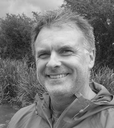
It gives me great pleasure to be the guest editor of this first special edition of our magazine Landscape. This edition features the fascinating images produced by members who took part in By Degrees which was, in itself, another first; the first project organised by the Landscape Group for the participation of members.
The project was conceived when, being a bit of a map nerd, I found myself one day pondering the places where lines of latitude and longitude intersect. I had never knowingly been to such a place and so was intrigued to find out where was the closest to my home. Having located it – some 43 miles to the south – I then wondered where its next closest neighbours were. Perhaps inevitably, this led me to plotting all the intersections on a map of the UK and then considering the feasibility of photographing them all. I quickly realised that it would involve a huge amount of travelling and that it would be a daft idea to attempt it alone. But why not involve others? And so By Degrees was born.
On the face of it, it might sound simple; show up at a pre-ordained set of co-ordinates and take a photograph. If only it were so!
Many of the intersections are on private land, some are far from the nearest road and some are just plain boring. Each of these factors provided challenges to participants, not least the last: how DO you make a boring field look interesting?
Notwithstanding these challenges, every intersection in the UK was photographed, and most locations were photographed more than once. Many participants told me how much they enjoyed the project, specifically because of its challenges and its demands on their ingenuity – and that must, surely, help anyone to develop their photographic skills?
Making the project happen wasn’t a solo effort and I owe thanks to quite a lot of other people for helping to make it such a success. First and foremost, to the 65 people who took part – you know who you are, even if your image didn’t make it into this publication. Thank you everyone.
I must also offer sincere thanks to the four members of the independent selection panel who carved out time from their busy lives to choose their favourite images from all those submitted. It is those images which feature in these pages.
And last but certainly not least, I must thank the Landscape Group’s resourceful and ingenious web editor, Sue Wright, whose hard work was able to bring the project to life through online registration forms, interactive maps and a gallery of all the images submitted.
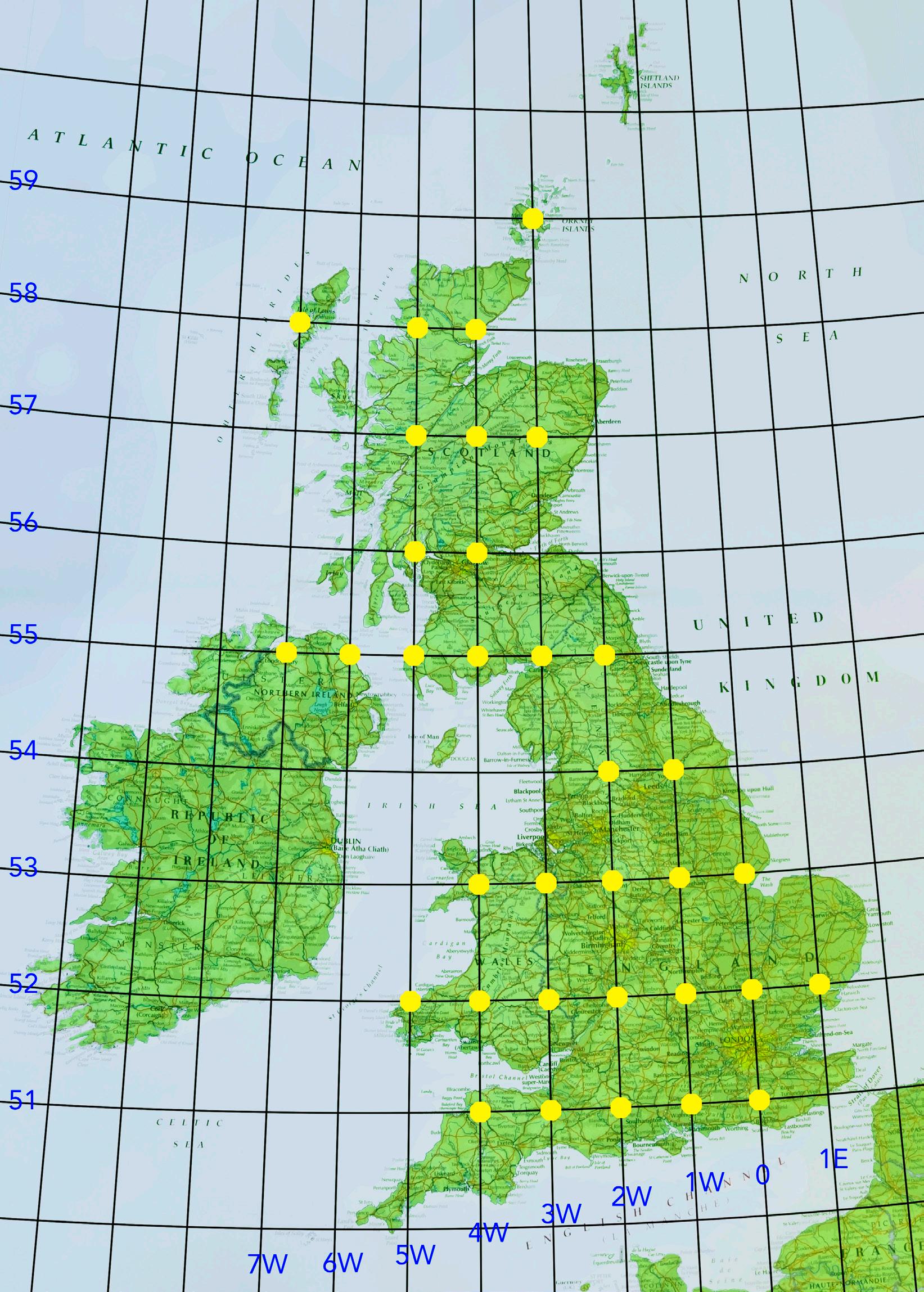
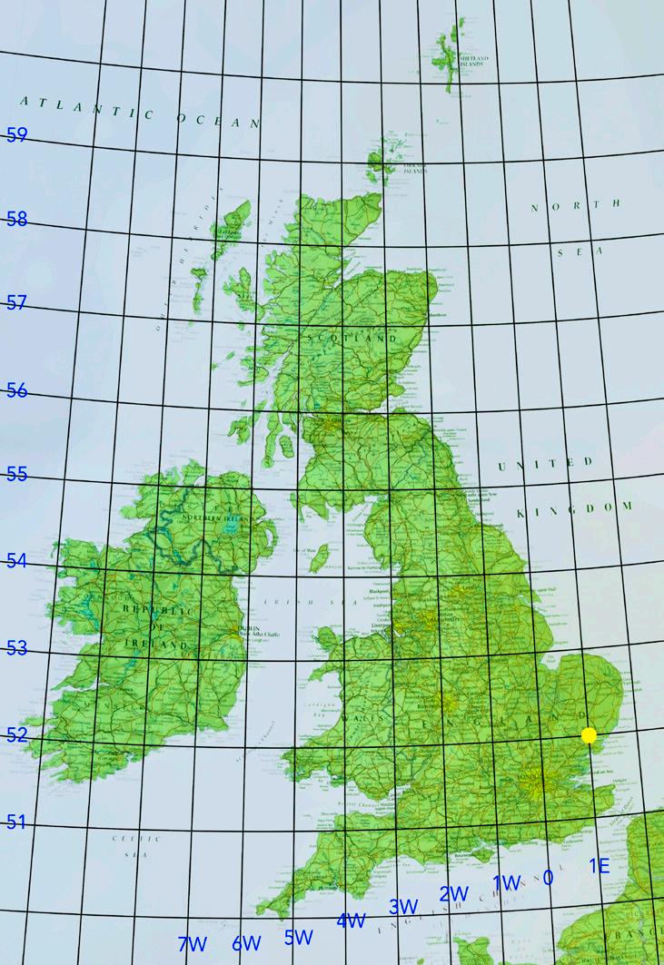
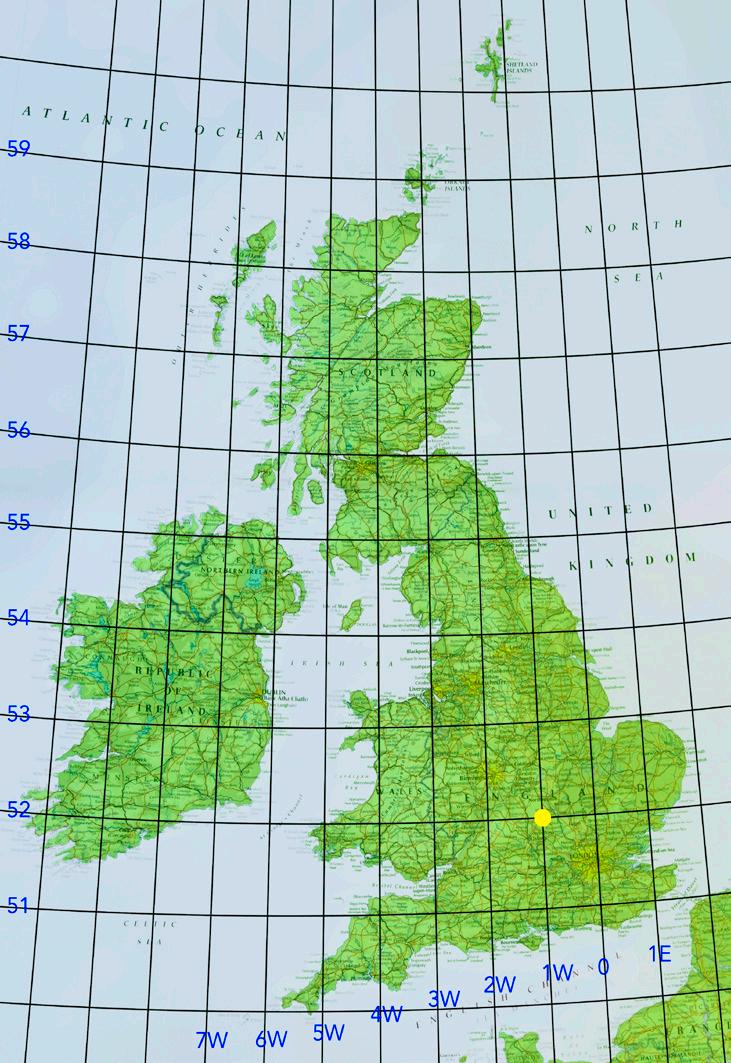
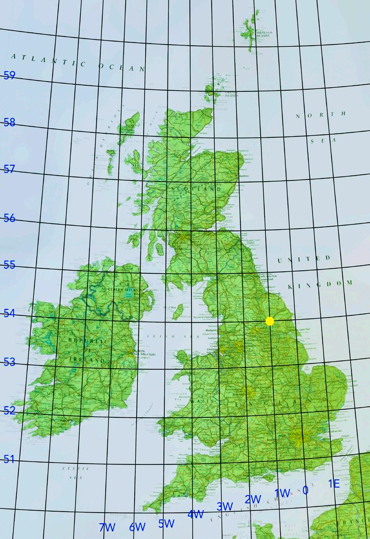
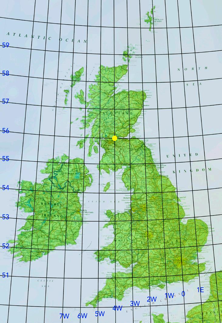
Mark Reeves FRPS By Degrees Project ManagerThis map shows the locations of the 34 intersections that are situated over land in the UK. 11 are in Scotland, 2 in Northern Ireland, 4 in Wales and 17 in England. A number of intersections lie offshore but very close to the land, for example 51ºN 1ºE near Dymchurch in Sussex, and 56ºN 6ºW just off the coast of Jura. These are undoubtedly photographable from the shore but a line had to be drawn somewhere and so the mean low tide mark was chosen and these locations were excluded.
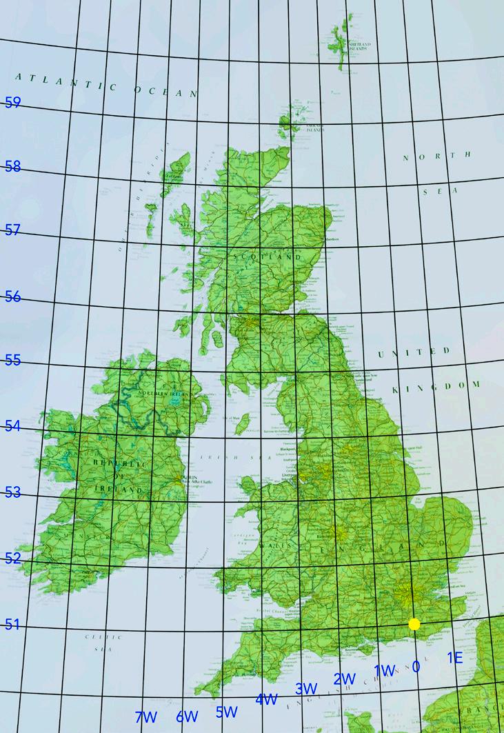
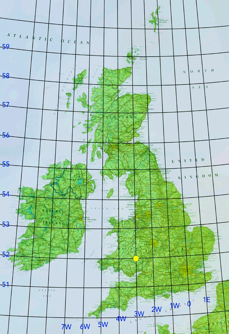
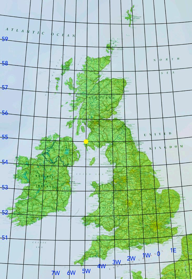
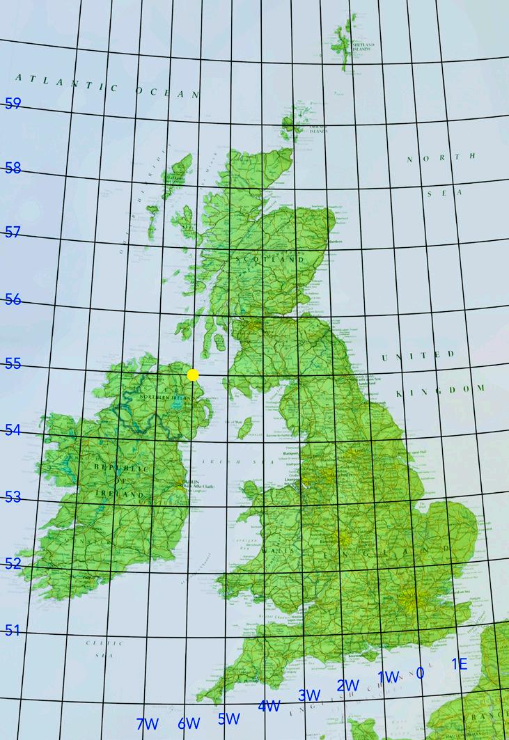
A miniature version of the map accompanies each image on the following pages to make the general locations of images easily identifiable.
I was able to access the exact location of the grid intersection. The image is taken with broadly south to the top of the image and broadly north to the bottom of the image. Given it was taken by a drone I was able to get directly over the intersection.
The intersection point is broadly central (left/right) in the lighter green area of the overall field, to the right of the farm track that is itself to the right of the ‘white’ tree.
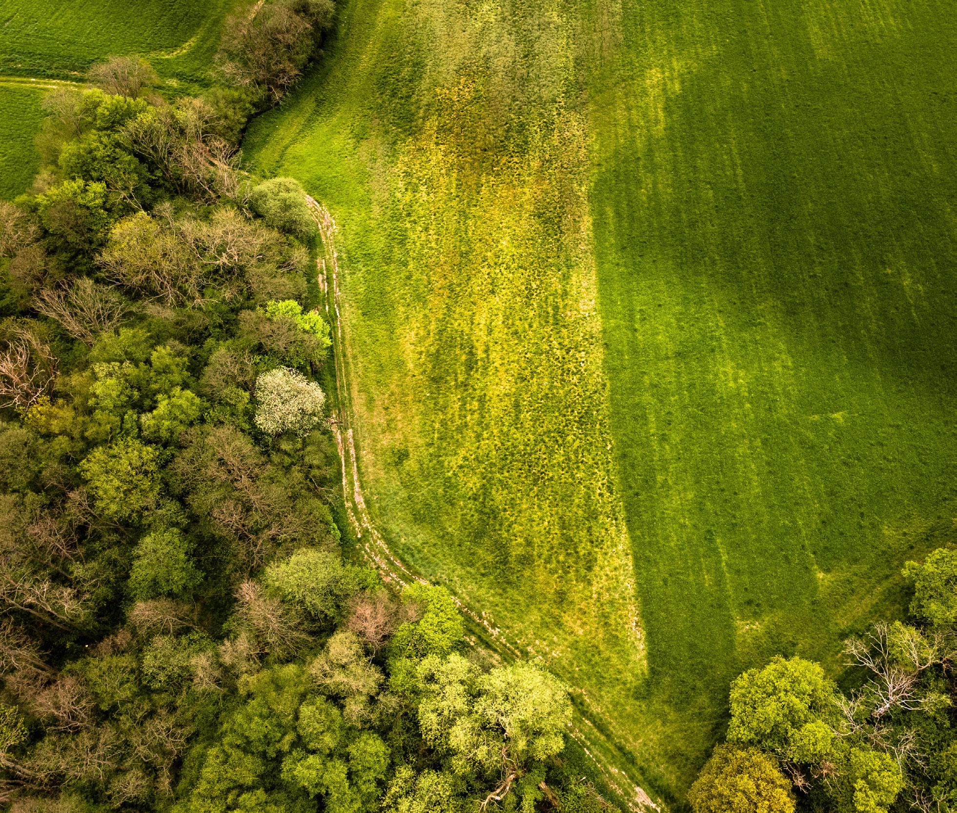
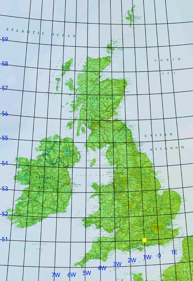
51N º 1º W sits in a beautiful rural area just north of the South Downs and Butser Hill. The intersection is visible just before the farm buildings in the centre of the image. Following a nearby footpath, I got a little elevation and, looking south east, I captured the low winter-morning light streaming through the clouds and across the fields.
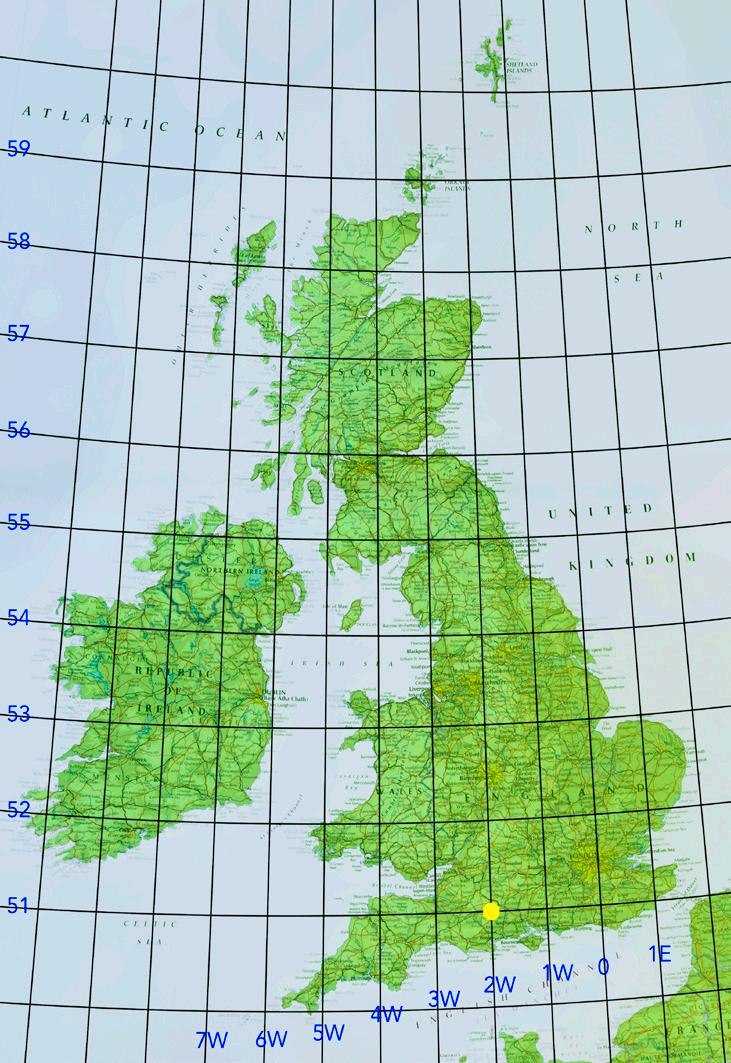
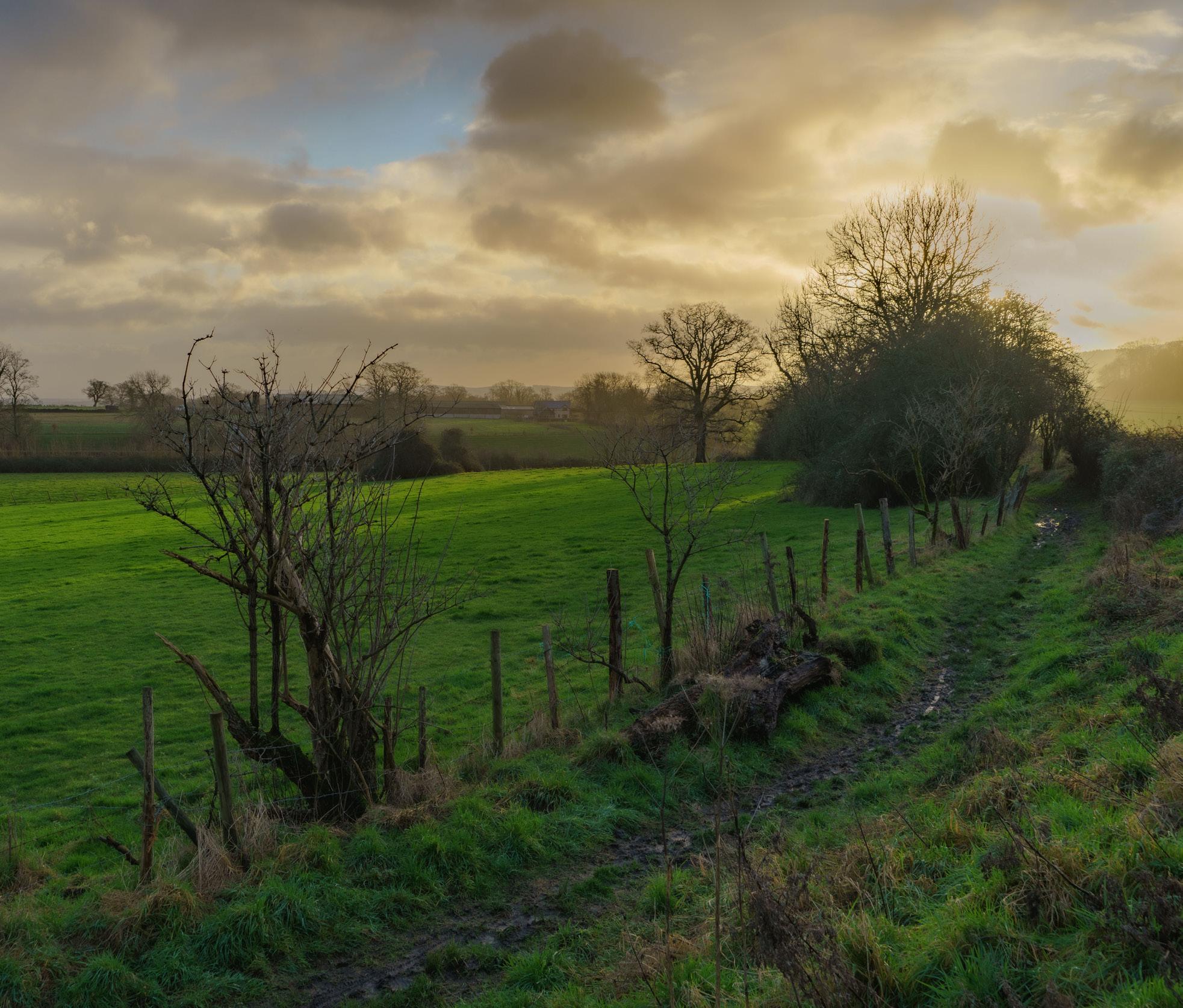
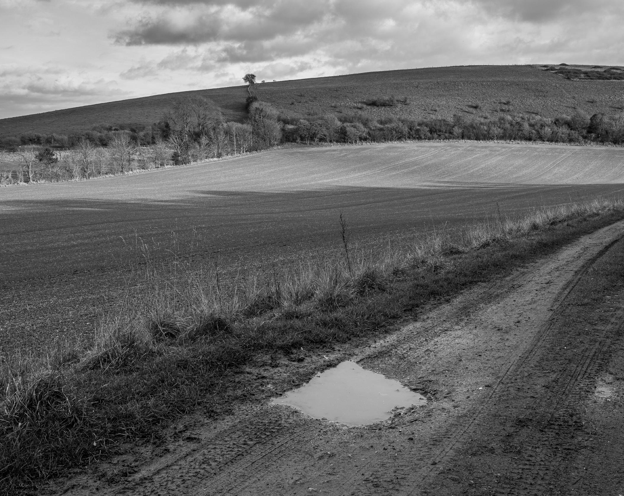
The ‘puddle-arrow’ points to the middle of the field where the intersection of 51ºN 2ºW lies. I was about 80 metres from the point at 50°59’58”N 2°00’02”W and at 155 metres altitude. I was facing east on 30th January 2022 as the winter sun was close to setting. This is a lovely part of Cranborne Chase, at the southern end of Wiltshire, close to the intersection with Hampshire and Dorset. The nearest village is Bowerchalke, where the river Chalke rises and flows into the nearby River Ebble.

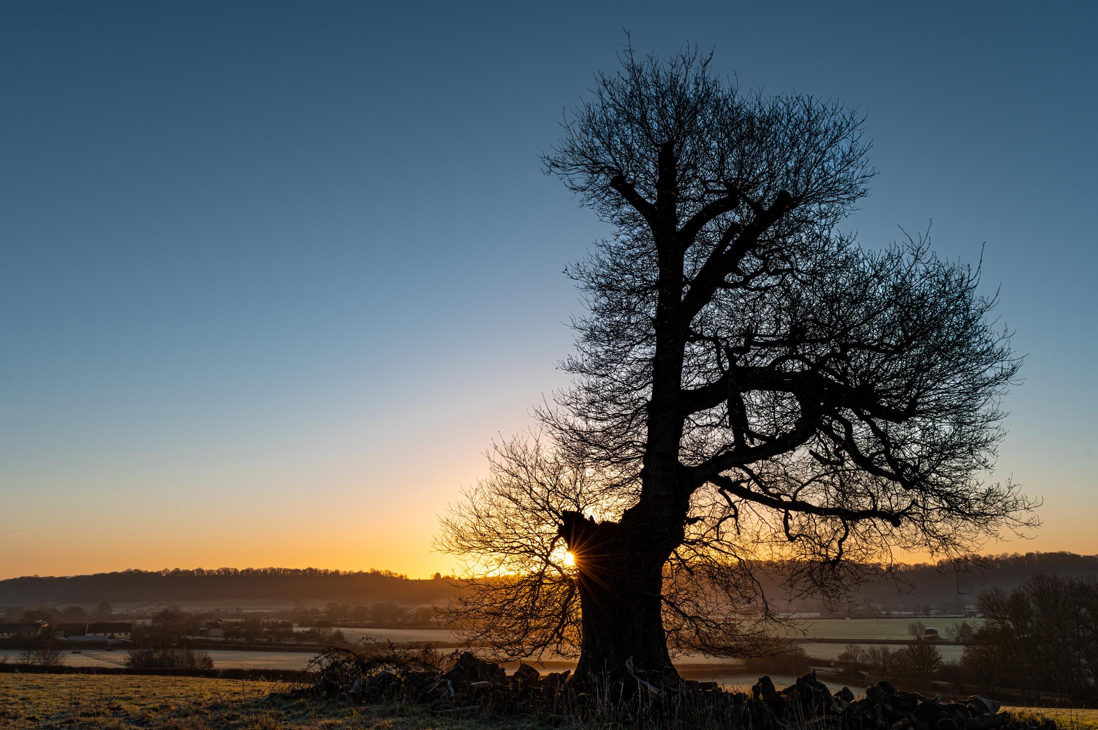
The intersection is in a field in slightly undulating countryside, at the foot of a gentle south east facing slope, a good location for a shot at sunrise. Standing behind a lopsided but interesting oak, I was about 270 metres north west of the intersection itself, which is visible in the adjacent field, near the bottom of the image, about a quarter of the way in from the left edge. My GPS recorded 51°0’2.8765”N 3°0’14.0135”W as my location.

Taking this image was challenging and was a 70 mile trip which I needed to plan as the access from the A377 was difficult. It is a busy, winding road, with no parking or stopping places. I managed to use maps to find a gateway by Umberleigh House which is a farmhouse, near to the village of Umberleigh.
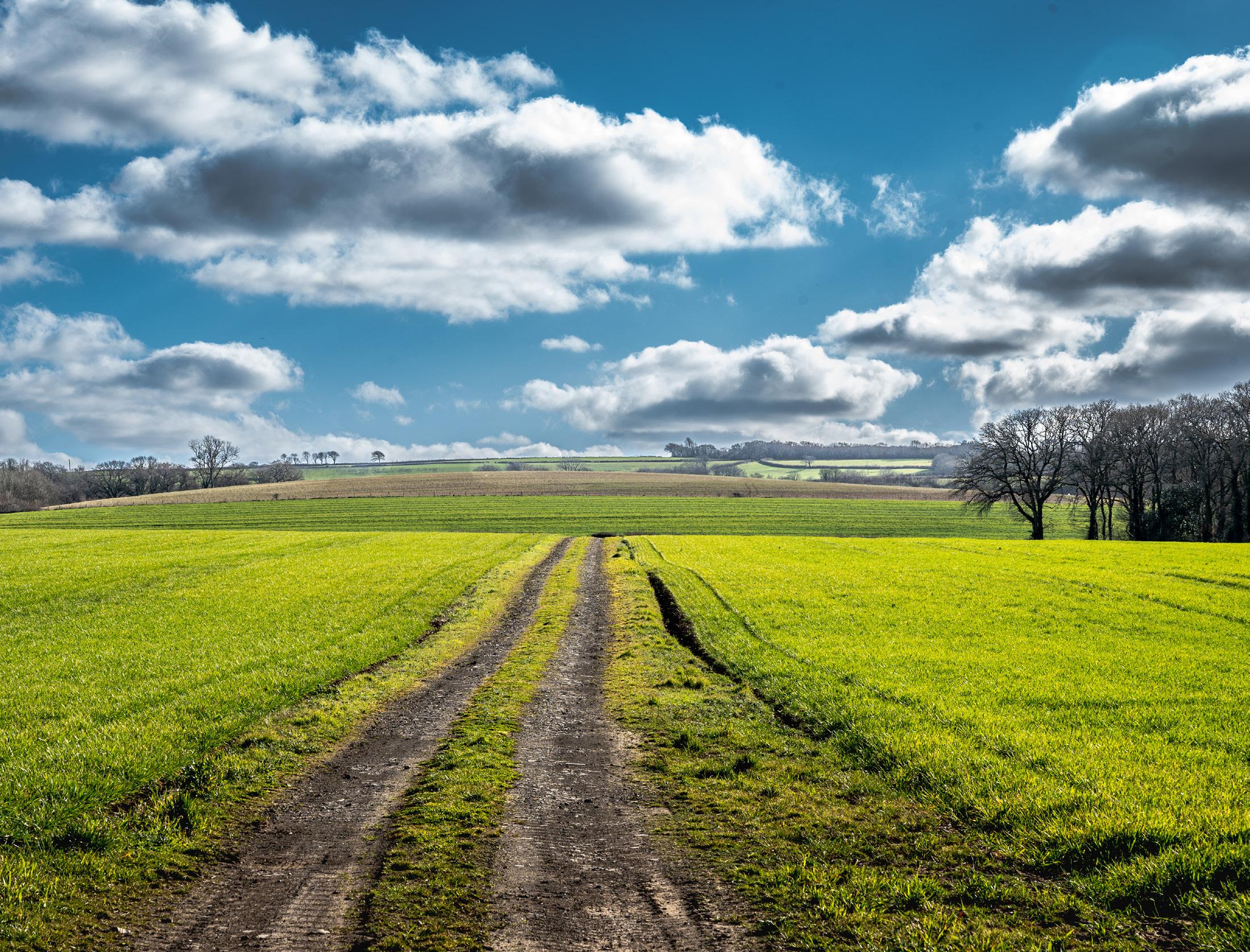
The reference point covered Umberleigh Busement, (which means natural wood) as marked on the map, in an agricultural series of crop fields, with an access track running from the road into the field. This did not offer the greatest photographic opportunity. It took a while to find and to try a number of compositions. In this one, the sky lent some more interest. The reference point was about 700m up the track and to the left as I ascended.
There were some interesting buildings, near which included the manor house. This had its own entry in the Doomsday Book of 1086. Next to the manor house was Umberleigh Chapel which was founded in 1275. This is now a ruin and the old walls form part of the farm outbuildings, near to which I had left my car.
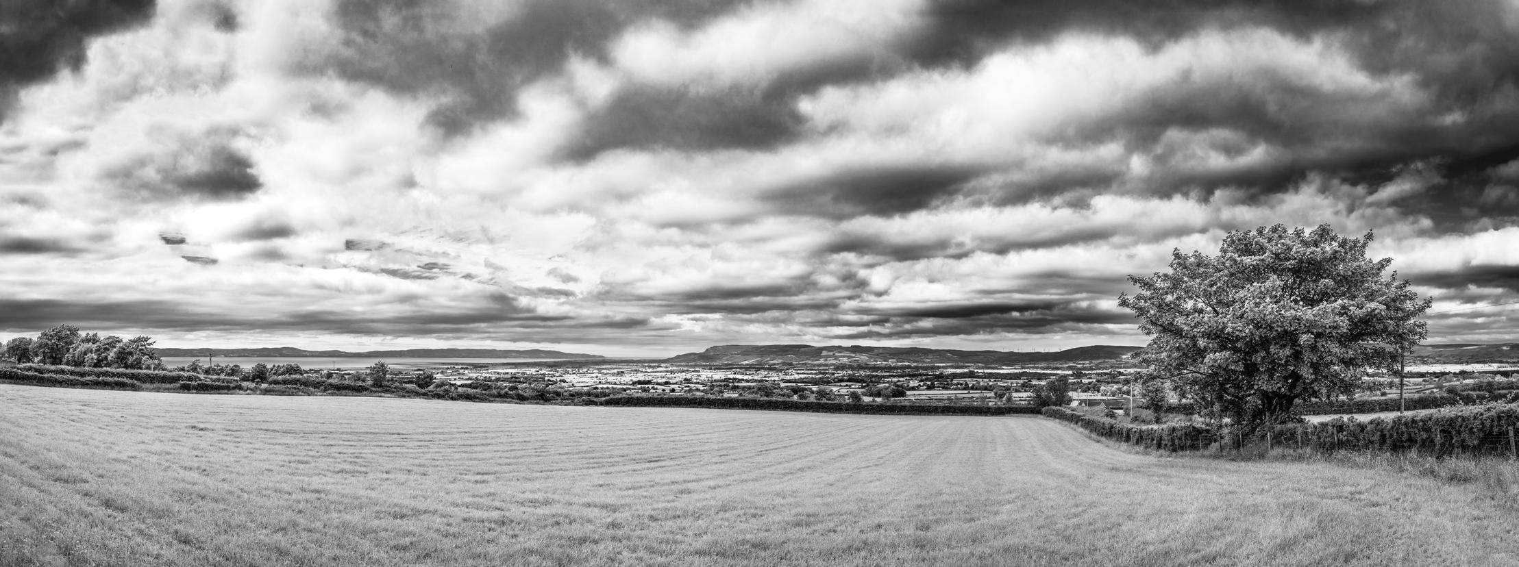
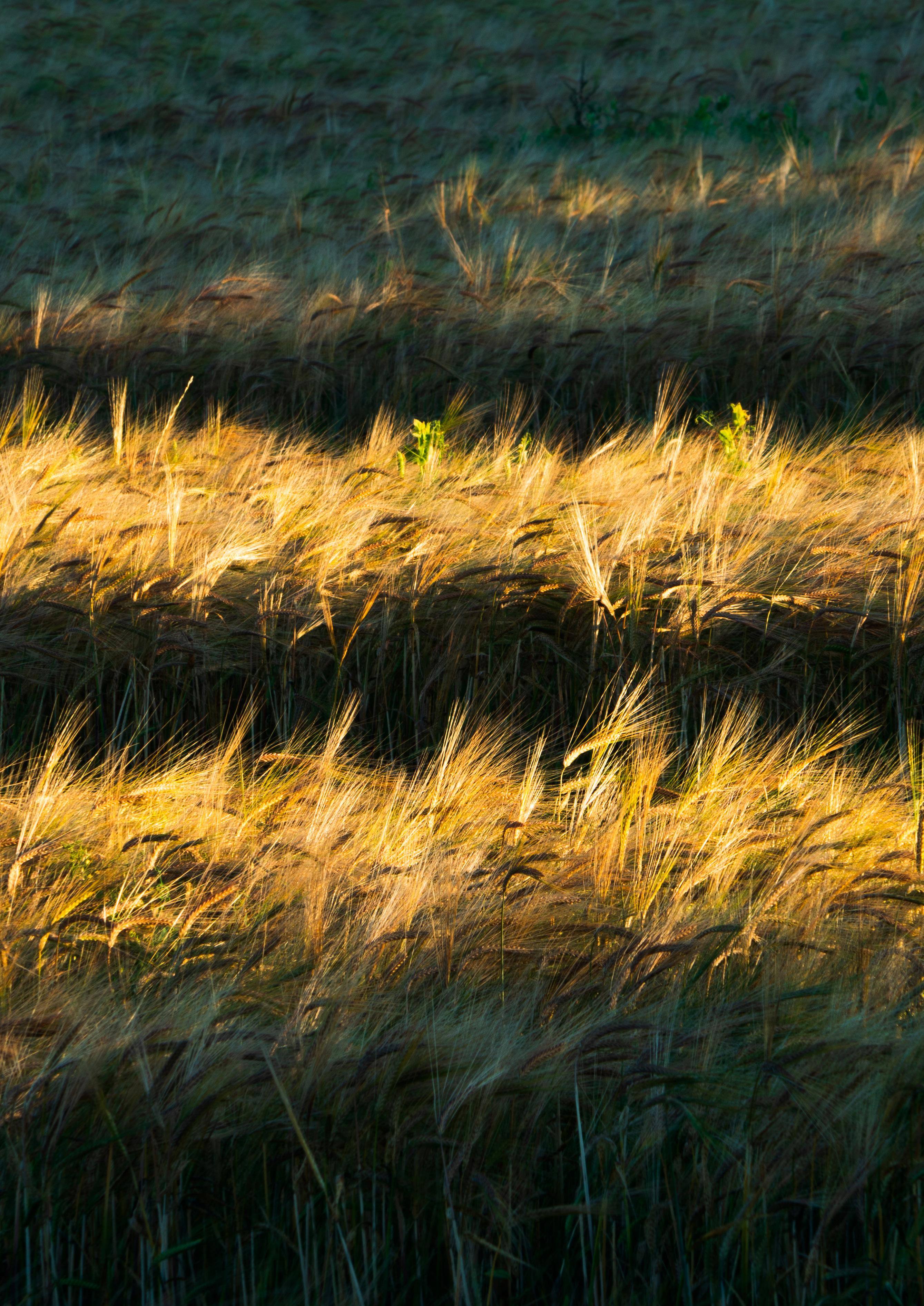
52ºN 1ºE lies very close to a footpath across a field near Raydon in Suffolk. In Summer 2022 this was a field of barley. I have always loved the textures in a barley field, especially on a breezy day. This is a well-known area for me, as it is in the catchment area of the GP practice I used to work in. Though I have been shooting in infrared occasionally for almost 40 years, it has been a passion for me for the last 5 years, since I converted an old, damaged Nikon DSLR to infrared. After reaching the approximate location, I was trying to decide whether I should shoot from, or at, the precise spot. I noticed rather dramatic clouds building to the west. I was able to set up my tripod at the precise intersection point and shoot west, incorporating the trees, dramatic sky and the barley crop. I avoid ETTR (Exposing To The Right) with infrared as it is critical to maximise highlight tonal separation. My approach to processing is very simple; I aim to maintain that tonal clarity and separation.


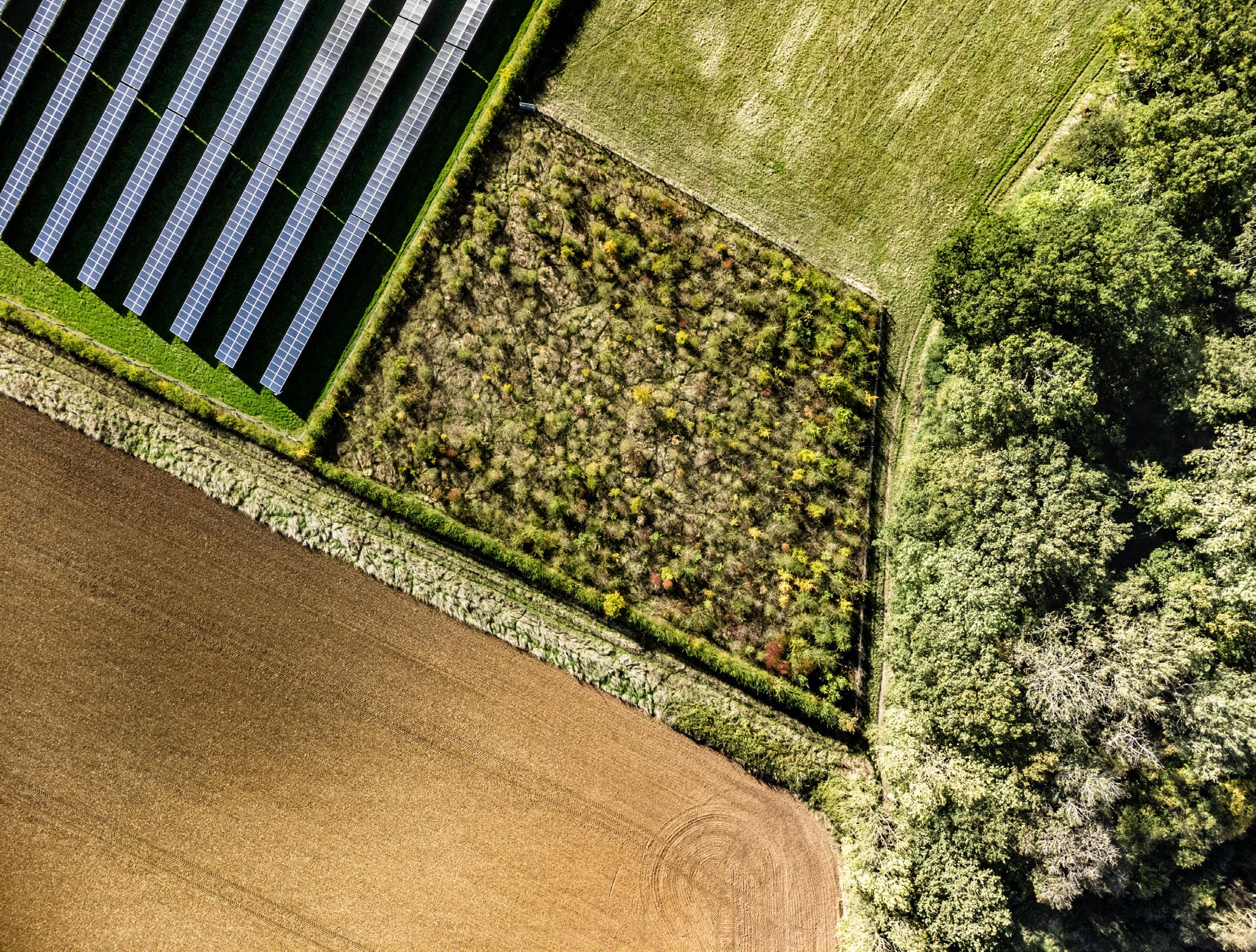
The top left of the image is at 52° 00’05”N 0° 00’06”E, 190 metres from the exact intersection in the middle of a solar farm. By moving away slightly, I was able to make an image which could be tied to a specific place by including part of the surrounding landscape.
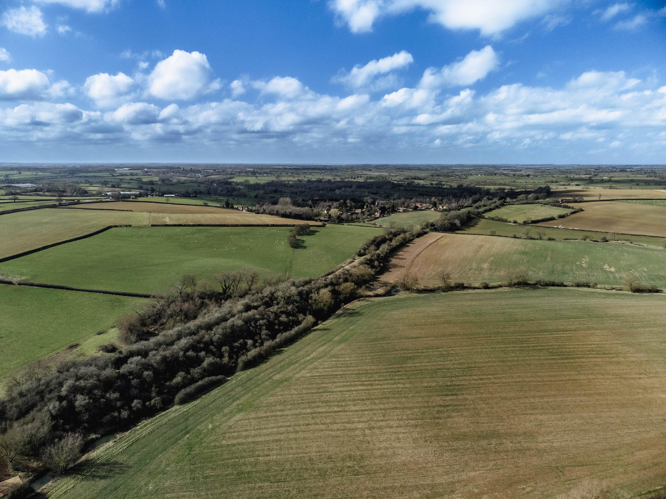
Taken at an altitude of 97m and showing the view to the west, this image was taken directly over the intersection, in the small historic town of Buckingham. Care was taken to wait until the livestock had been moved from the field, to ensure the drone would not disturb them. Due to wind conditions, I made several visits to the site before I could safely fly the drone from the roadside nearby. I was eventually successful in March when there was a break in the weather and the sheep had moved fields.
There’s not too much to say about this site to be honest… it’s a field!
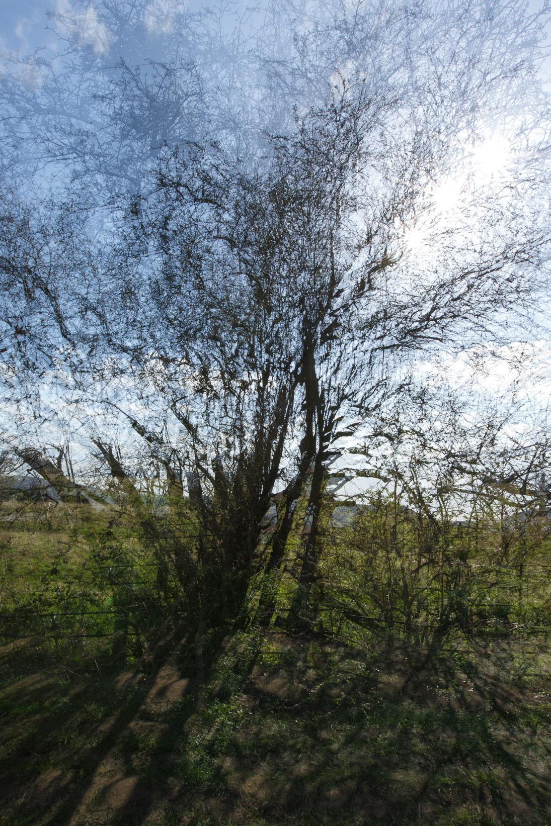
This was my second visit to the point. The first was unprepared and without wellies and the very muddy and slippery footpath was challenging! Consequently my frustration came out in the form of very lacklustre images! 52ºN 2ºW is in the village of Alderton and is easily accessed (in the correct footwear!) but the actual point isn’t a particularly inspiring location. I was concerned that the light might be challenging but I was undaunted and armed with a determination to get it right this time. So, with the sun fairly high in the sky I shot directly into it and decided to get creative. I used in-camera multiple exposures and f22 to get the star-burst effect through the tree. The images were captured at 2.22pm and I went home happy!
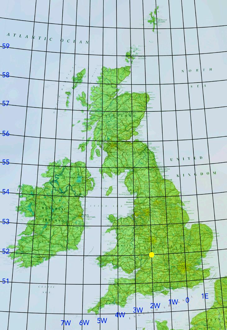
I couldn’t pick a better time for photographing these coordinates ….Storm Eunice was just approaching. I had my vision of capturing the image of this golden oak tree from above from my drone but the storm made it definitely impossible to fly. As I was looking for other ways of capturing the point, a beautiful rainbow was just beginning to shine through the heavy grey clouds of rain. Just for a few seconds a stunning view of the tree enveloped by the rainbow appeared; that was definitely more than I could ask for.
This oak tree is right on the coordinates 52ºN 3ºW and stays tall in the middle of a field in the village of Michaelchurch Escley in Herefordshire.

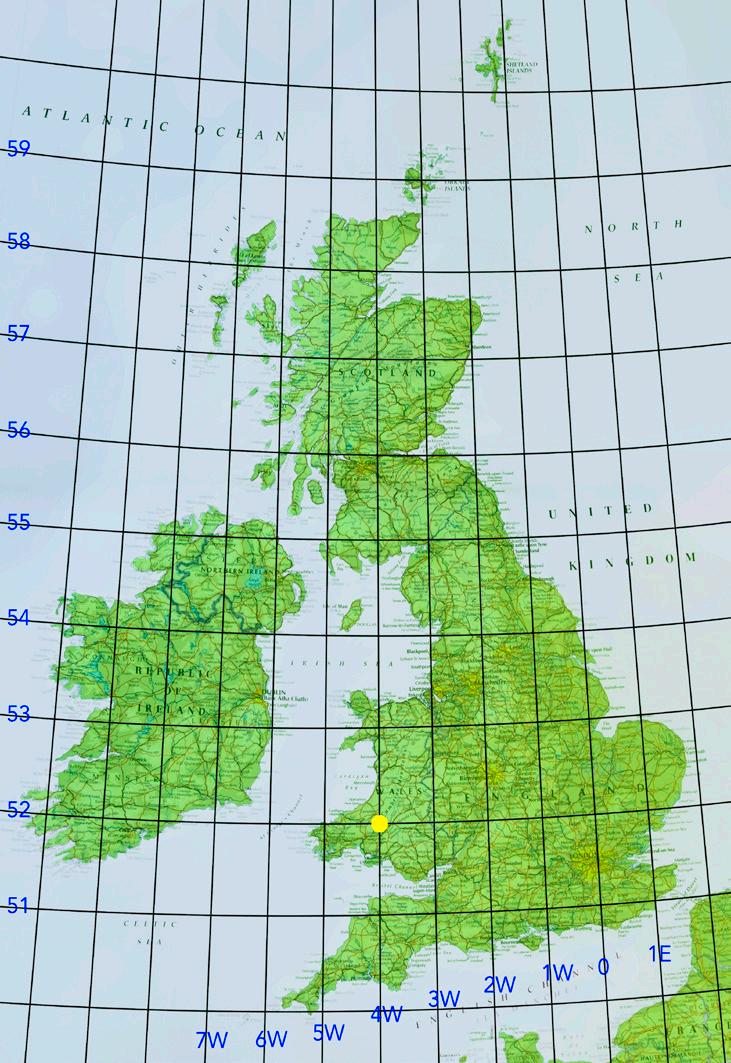
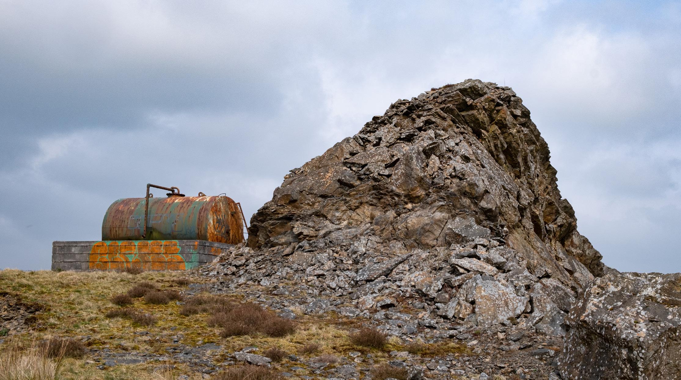
52º N 4º W is on a site adjacent to the B4337, at Dinas Quarry, Pen y Ddinas, near Llansawel in Carmarthenshire.
The hill of Pen Dinas was an area of unimproved pasture, known locally as ‘the Warren’. Once upon a time, there were the remains of a summer-house ‘within some sort of ancient encampment’ (Notebook on Carmarthenshire 1804-10). It is probable that the ‘ancient encampment’ was a later prehistoric type hillfort, which are otherwise scarce in the locality. The remains of the summer-house, or possibly a prospect tower, were said to have been part of the nearby Edwinsford estate.
The site, now owned by Tarmac, is abandoned, having closed down in the late 1980s. When operational, it mostly produced granite grit for road construction, as well as a surprising amount of quartz crystal.
The exact intersection is inaccessible, buried beneath deep brambles and bracken. Facing WNW, I opted for this shot on the topmost part of the site, which is approximately 300 metres north of the intersection, and which speaks a little of the history and nature of the place and the people who once worked there.

This intersection point is located in Dyffryn, Goodwick, Pembrokeshire. The actual intersection point is at the back of this abandoned, ruinous old building and, to the rear of this wall is dense, impenetrable scrub on private land. I am standing approximately 5-6m NE of the actual intersection point, facing roughly SW.


In the foreground is a cabbage field, typical of the agricultural cropping on the flat silt soils of this area. The crop had recently been harvested by hand, hence the scrappy nature of the cabbages left in the field, which would not have been of a good enough quality to sell. Soon after this, the field was fenced off and sheep left to graze the leftover cabbages prior to being cultivated ready for the next crop.
In the background, the large austere building left of centre is Boston Pilgrim Hospital. In the centre, further back, is St. Botolph’s Church, better known as Boston Stump, a well-known local landmark formerly used by mariners and pilots in days before modern navigational aids. To the right of this is the chimney for the hospital medical waste incinerator.
This image was taken late in the afternoon of February 2nd 2022, about 20 minutes before sunset under a stormy sky, resulting in the beautiful side-light seen. Shortly after the image was made a heavy shower passed through.

Looking approximately north-north-west, the intersection is just near the end of the hedge in the middle foreground, as determined by the GPS on my phone. We are in the middle of the mature river valley of the River Trent; Cocker Beck, a small stream, lies on my right and drains into the Trent, which is about a quarter of a mile behind me. The valley side can be seen rising in the distance, with a number of trees and a farm on the horizon.
The area itself is rich arable land, regularly farmed with a variety of crops.
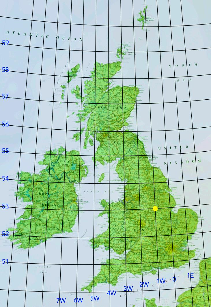

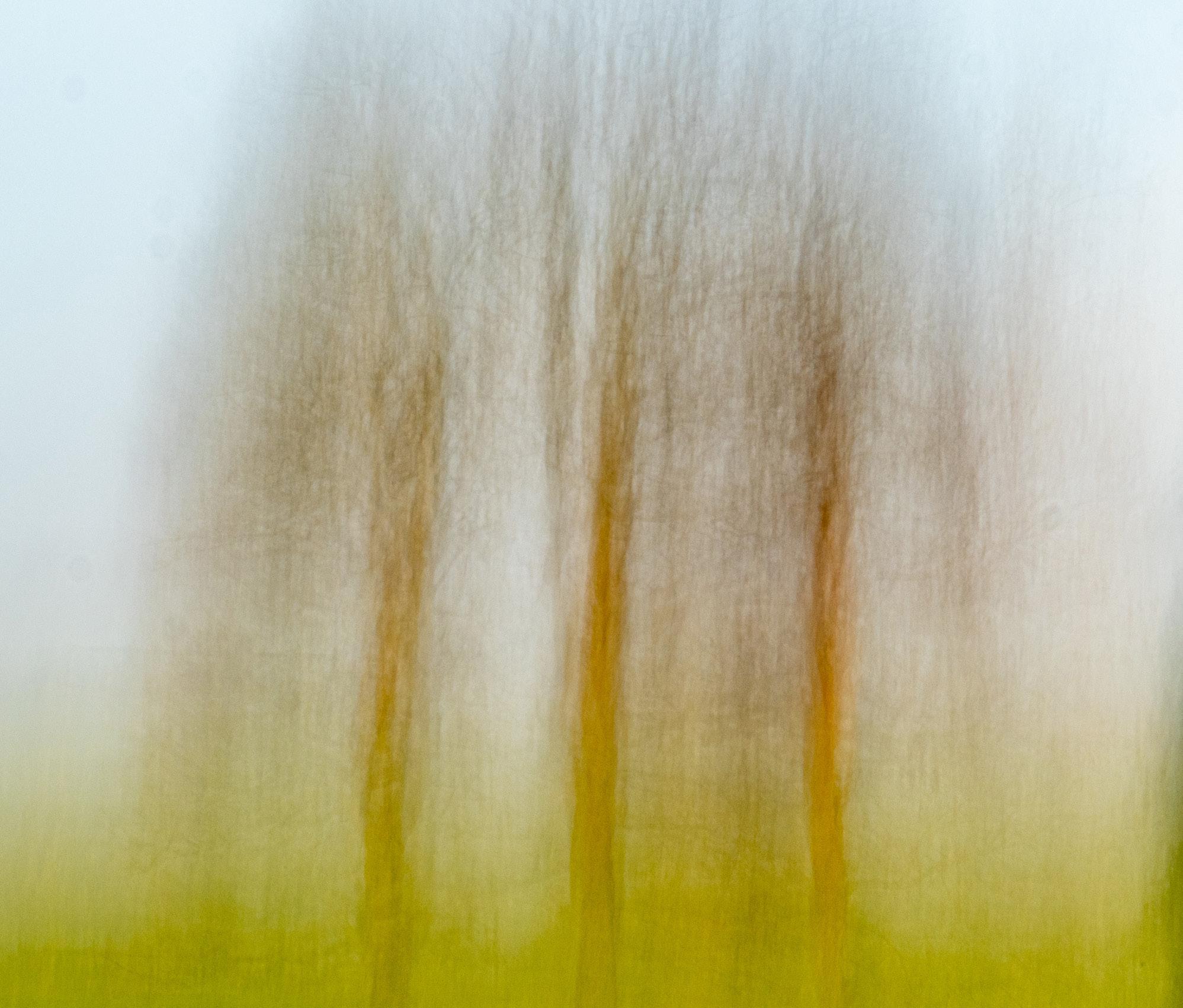
My location was on a farm and there’s no roadside parking so I decided to ask the farmer if he would allow me in his field. He already seemed to know about the intersection on his land – some Canadians had visited a few years ago apparently – so he was able to point me to the correct spot. I also took a photo on my phone so I could get precise GPS co-ordinates. The actual co-ordinates from my phone are 53° 0’ 0.6084”N 1° 59’ 59.8038”W.
The location itself was a field with not a great deal of interest but I spotted this cluster of three trees about 50m away from where I was standing looking north east. I used a long lens (equivalent to 186mm on a full frame camera) and composed the image as a square as I knew I would be cropping to a square in post-production. I took two versions: a straight version and an ICM version. This ICM version was a 2.5s exposure achieved by using a 6-stop ND filter and shooting at f/22.
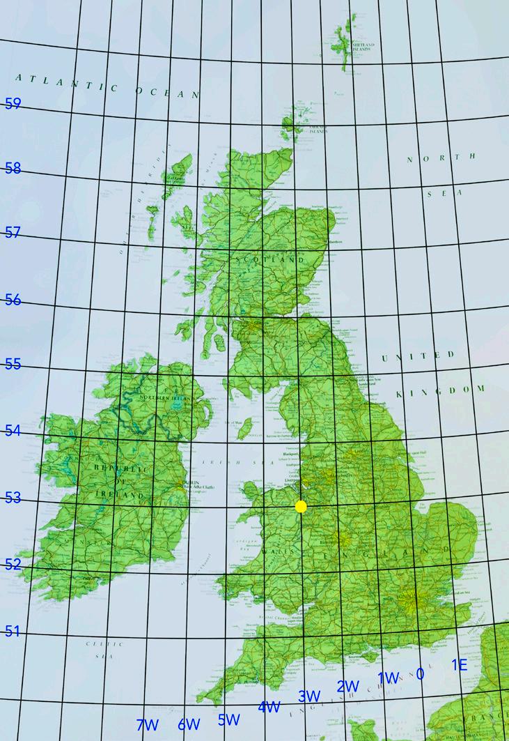
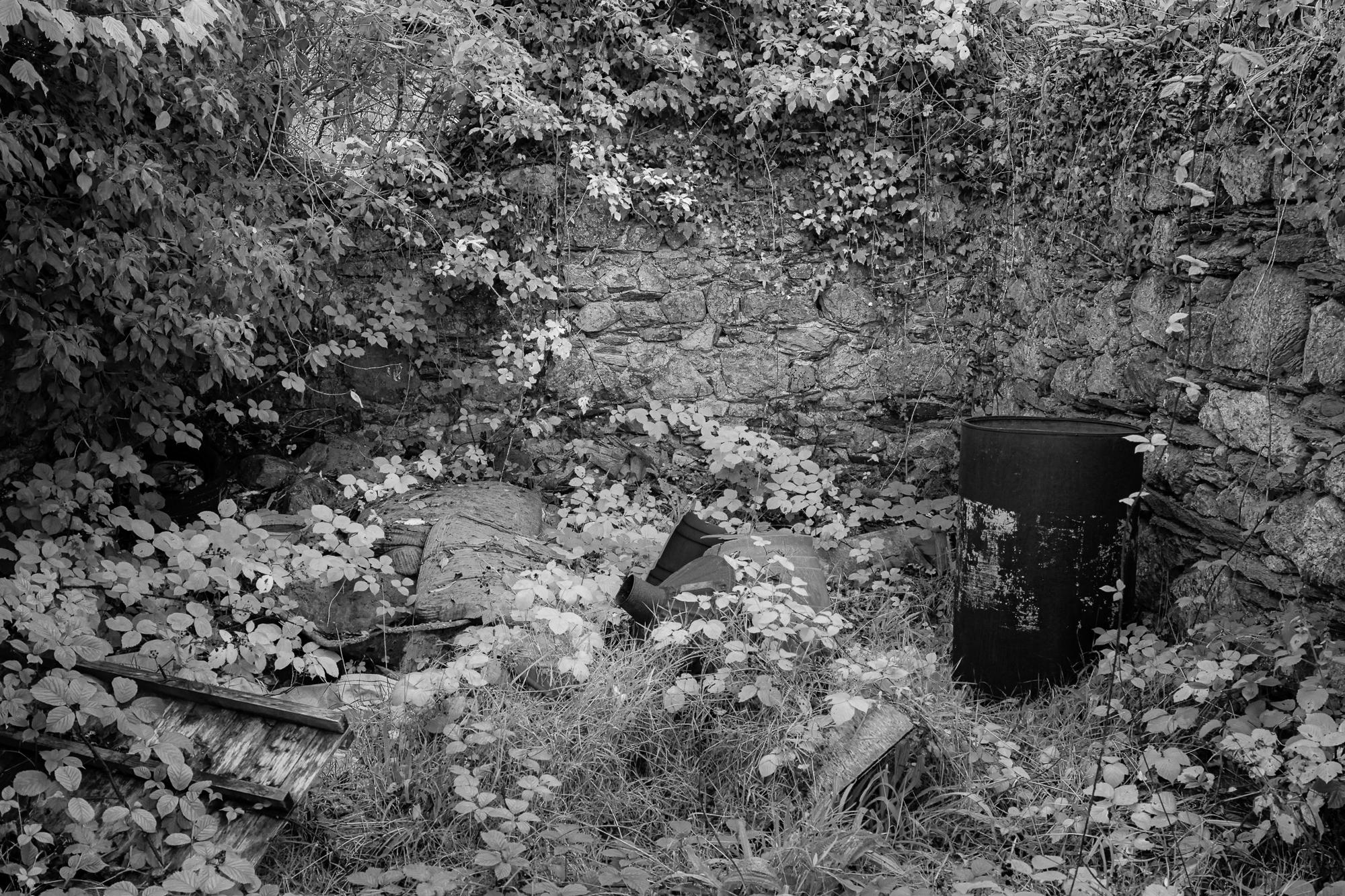
53 º N 3 º W is situated right beside a narrow country lane whose main endearing feature, to my mind, was the curve of the road as it passed under the canopy of trees. Although my image was created in autumn and there were attractive colours in the trees, I decided to use my infrared camera to emphasise the route of the road. The actual intersection is amongst the undergrowth on the right hand side of the image.

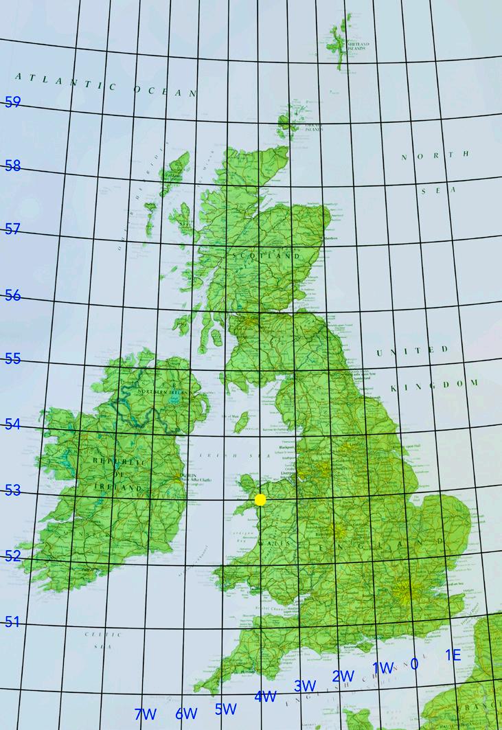
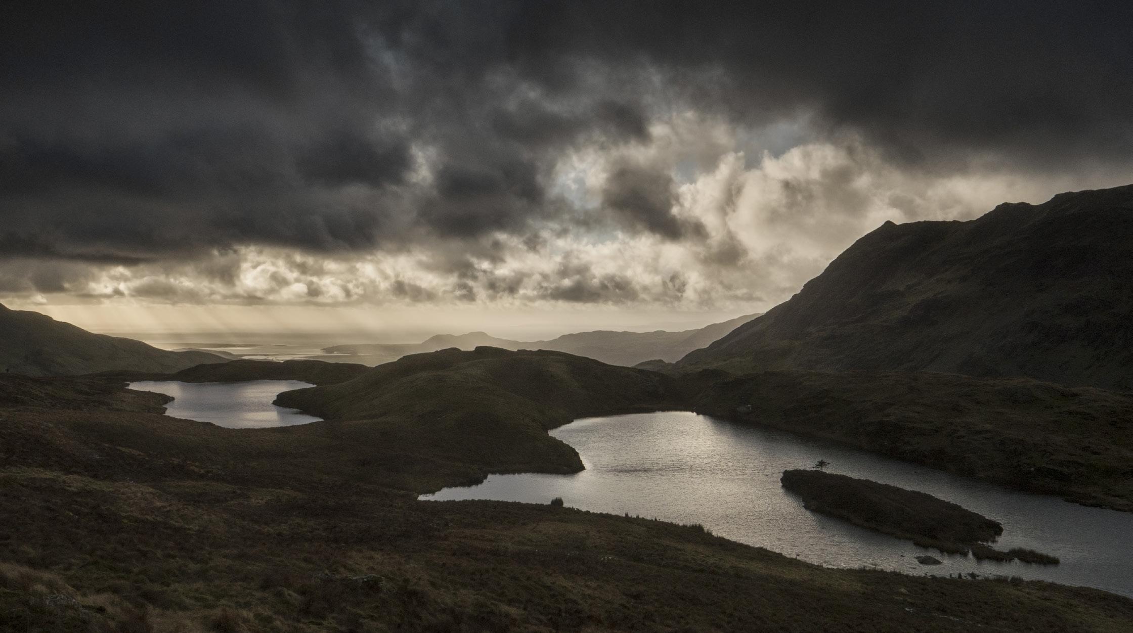
The intersection of 53 º N 4º W is alongside one of the Diffwys lakes in the Moelwyns in Snowdonia. Having climbed as far as the exact location it seemed a shame not to climb a bit further to elevate myself above, and look back over, the intersection, to show it in its storm-beaten surroundings. The image was taken at 53°00’10.0”N 3°59’50.0”W. The intersection is at the left-hand side of the picture, 360m away, and is located underneath the left-most limb of the left-hand lake. The vista is looking southwest over the Croesor Valley towards Porthmadog with the slopes of Cnicht on the right.
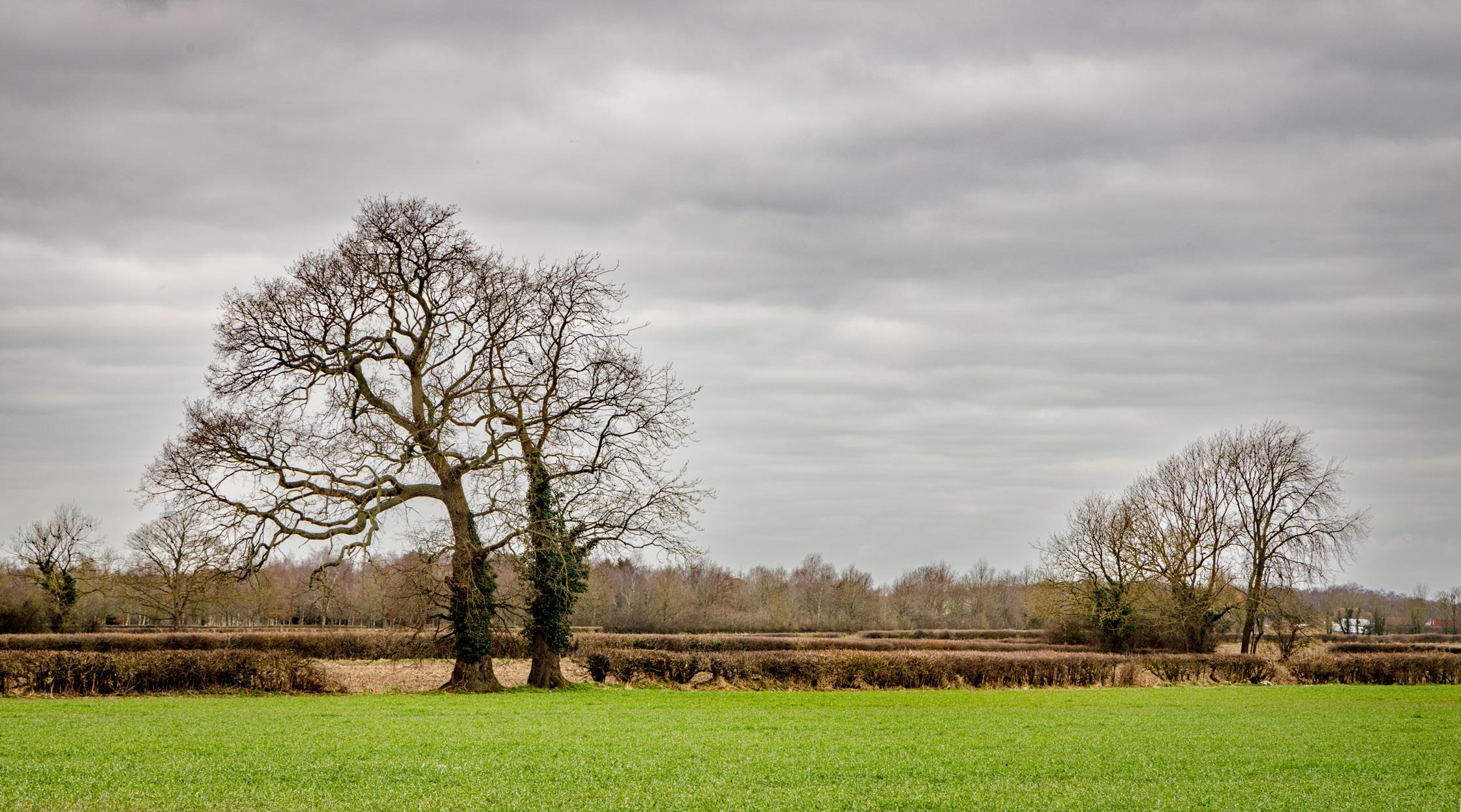
The intersection is situated just off the A64 Leeds to Scarborough road at Stockton on the Forest. Its actual position is located on private land. Three attempts to speak with the landowner proved unsuccessful. By accessing the land as far as I could without damaging any planted crops and walking as close to the edge of the fields as possible, I was able to take the image of the intersection. The closest objects to the actual intersection are the trees on the right.
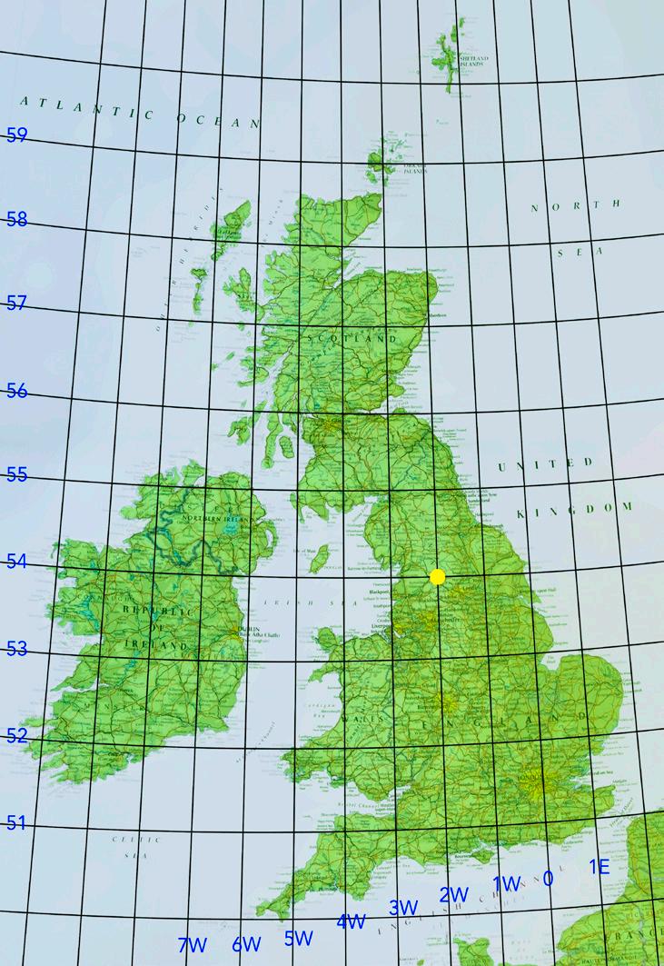
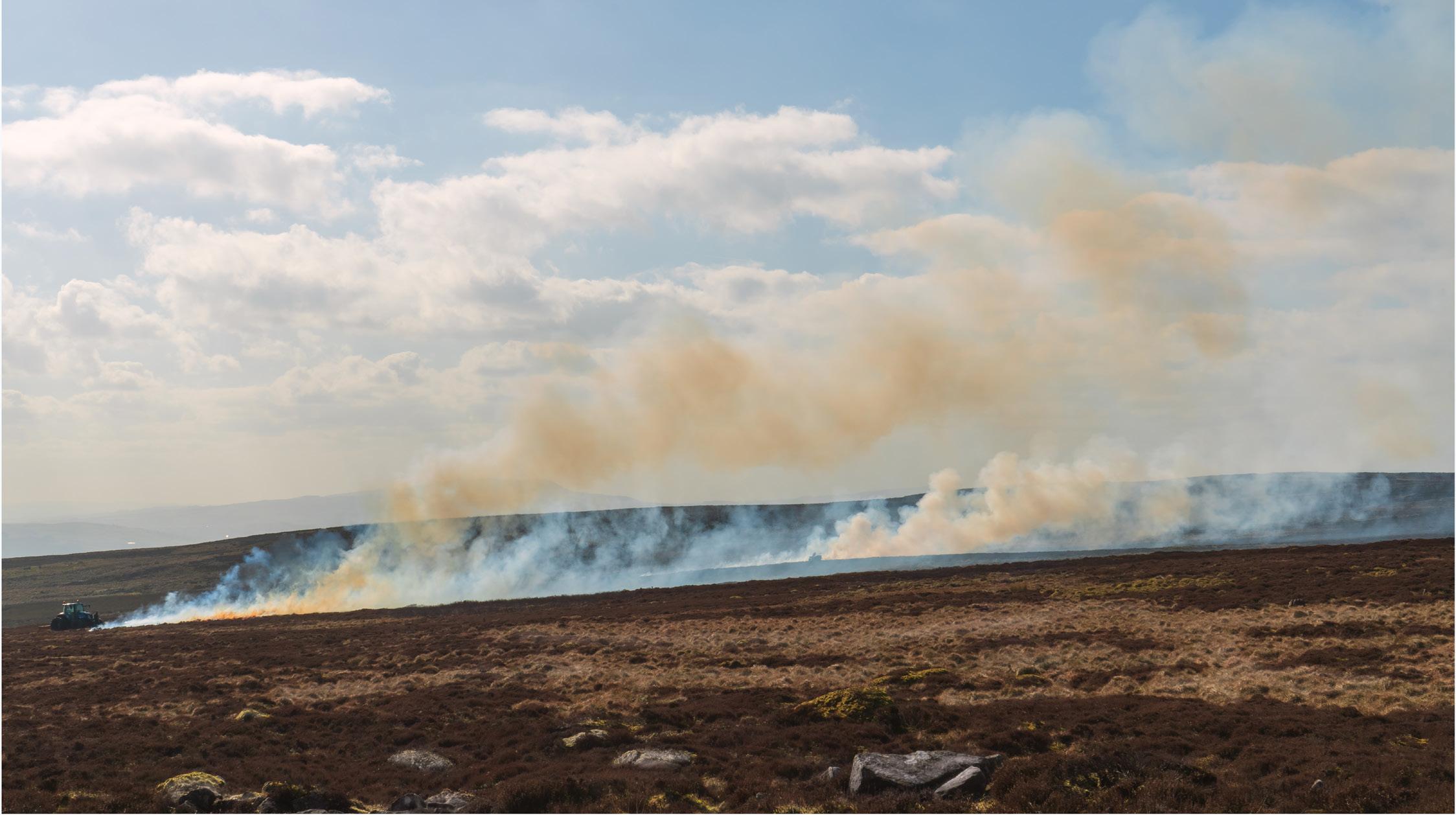
Burning heather on Barden Moor at 54º N 2 º W. My exact location was 54.00341º N, 1.99263 º W. I was facing SSW and I was around 300 yards from the intersection. I think the intersection is approximately where the tractor is, to the extreme left of the shot. The heather burners didn’t want me to come any closer.
The intersection is in a field that was currently lying fallow.
After obtaining permission from the land owner to enter the property – and being offered good wishes to “Enjoy the stubble” - I located the actual intersection using GPS on a mobile phone – much easier than with a compass and map!

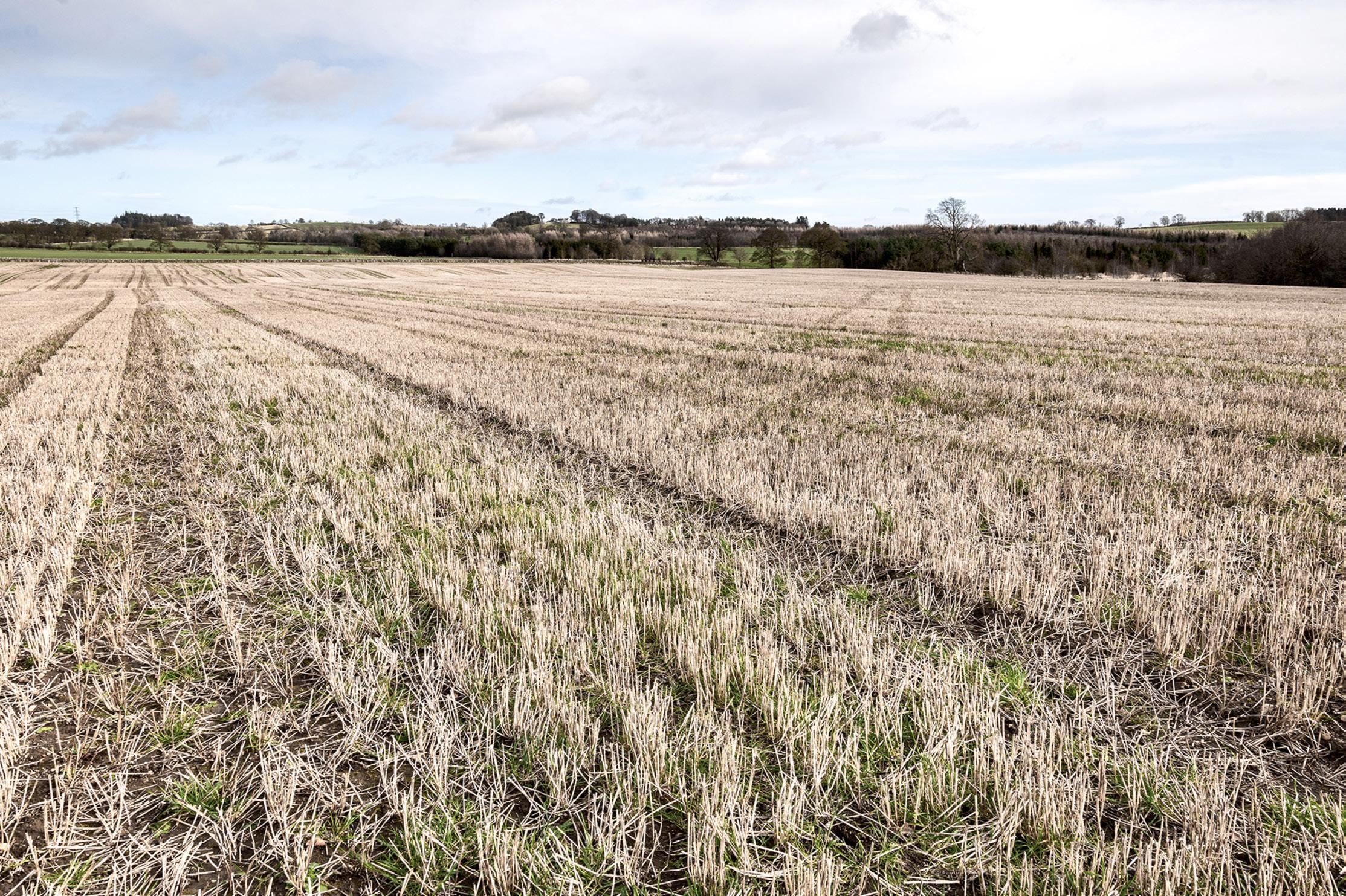
The position of 55ºN 2ºW lies in the very low left corner of the image, by the nearest tussock of grass in the tractor wheel track. Taken on February 17th 2022, the view is looking east towards White House farm, which is on the hill between the tall trees on the horizon, just left of centre.
The locality has a personal family significance. Along a line just south of east, to the right of White House, through the left of three gaps in the hedge about 450m away, and then about 1km behind the trees on the horizon, is Shildon Hill farm. Here is where my father was born in 1914, although now, more than a century later, there are no family connections to the premises.
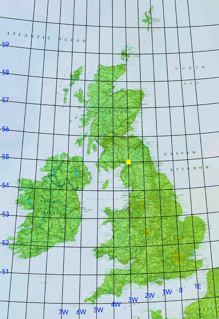
55ºN 3ºW is located within the perimeter of a Ministry of Defence munitions depot (MoD Longtown) in northern England, less than a mile from the Scottish border.
I considered the possibility of contacting the MoD for permission to photograph within the depot but thought this was unlikely to be forthcoming and so, instead, I looked into the possibility of photographing with my drone. Whilst flying directly over the depot is not permitted, flying on the east side of the River Esk which borders the depot appeared to be unrestricted.
Taken on a summer’s evening, my image (actually a composite panorama) looks from above the east bank of the Esk, facing approximately north west. The 55ºN 3ºW point lies centrally in the image, close to two of the grey metallic warehouses in the distance. The upper reaches of the Solway Firth can be seen in the far top left of my image and the Scottish border runs just behind the wind farm that can be seen in the centre distance.


I did not find this intersection easy to photograph. On my first visit it rained and I did not get anything that I was happy with, so tried again. Unfortunately, it was not possible to reach the exact spot because the farmer advised against entering the field which contained a lively bull! I was left with the option of photographing from his garden across the intersection. I hope the image conveys the grazed upland farm scene, with the juxtaposition of a line of old oak and a line of pylons dragging the farm into the modern era.
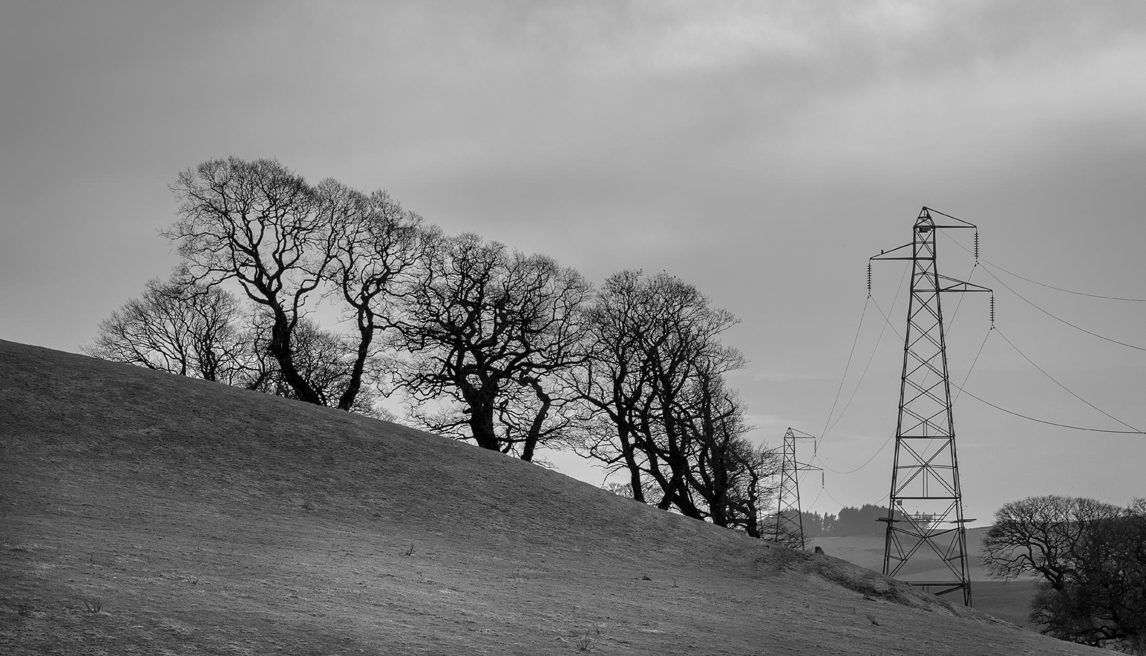
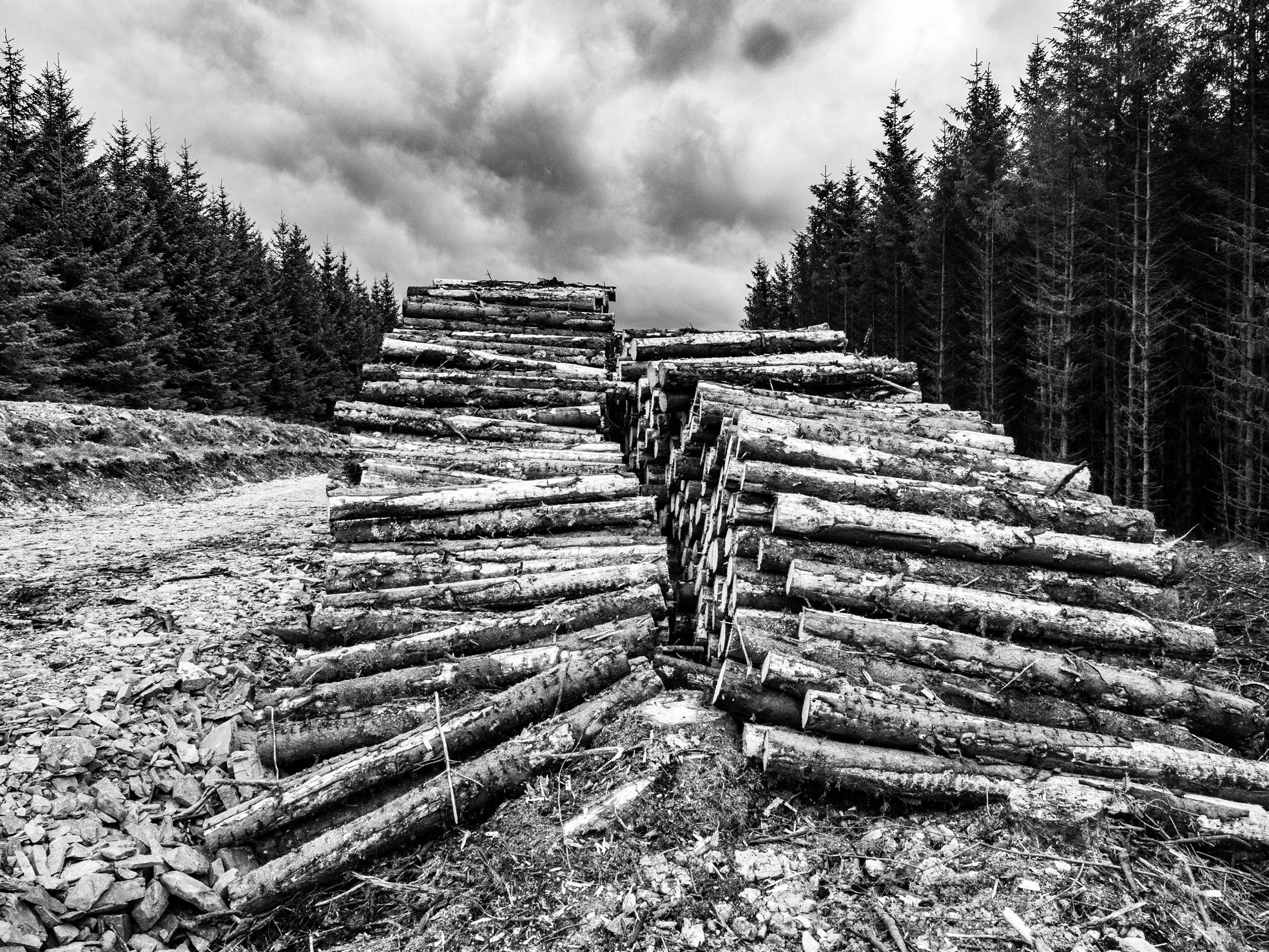
As far as I could tell, I was within about 100 yards of the intersection which, as far as I could determine, was in the middle of the trees to the right of the photo, which are part of a huge forestry timber operation. I was facing east when it was taken.
The intersection lies in a barley field, just below a former quarry, on the shores of the Irish Sea, north of Belfast. I was facing west, with the early dawn light striking the field through a hedge from the north easterly direction, leaving these striking shafts of sunlight on the intersection point within the barley field. I was photographing from about 30 metres from the intersection itself, on the edge of the field.
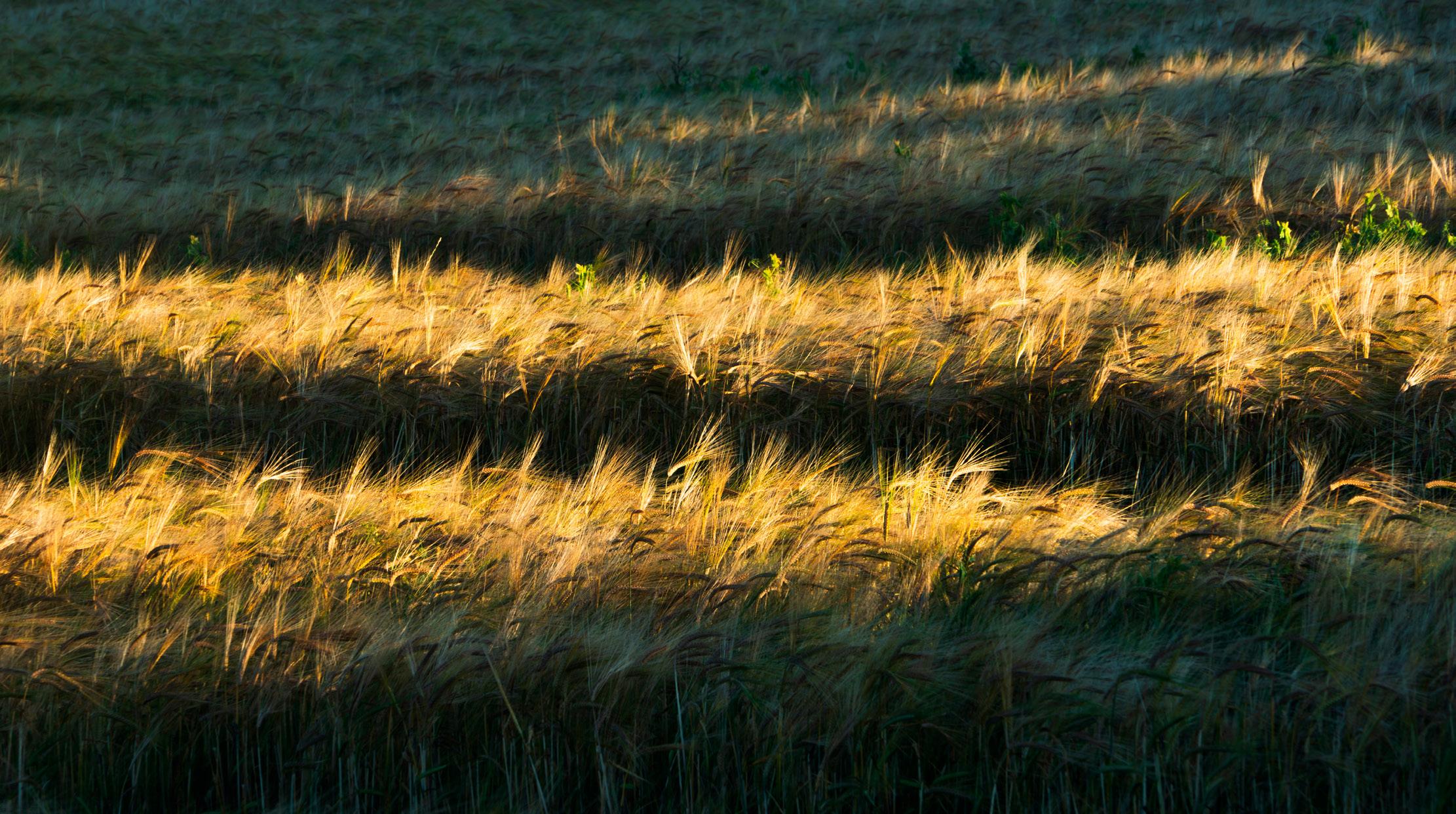

The exact intersection is on private land. My image was taken facing north west from 55.00025º N, 6.99995º W by the road, about 25m from the intersection. The image is a five-image stitched panorama.
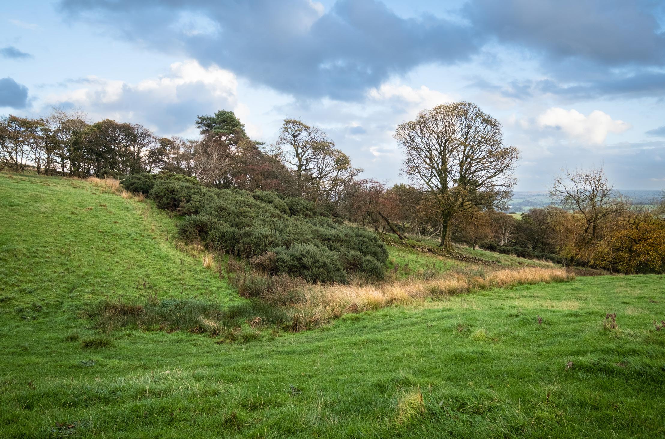
This intersection is located in a field that appears primarily to be used for grazing. Indeed, although I didn’t notice them on my arrival, by the time I finished my photography there were a number of inquisitive cows heading in my direction.
The primary choice I faced here was to photograph the location itself or the view from the location. Looking south west, there were attractive storm clouds and crepuscular rays over Glasgow but the composition wasn’t particularly appealing so I opted to photograph the field.
I was determined to stay very close to the actual 56ºN 4ºW point and, after some wandering and pondering, was pleased to find that I could create this composition with the intersection in the foreground of my image, barely a couple of metres from my viewpoint.
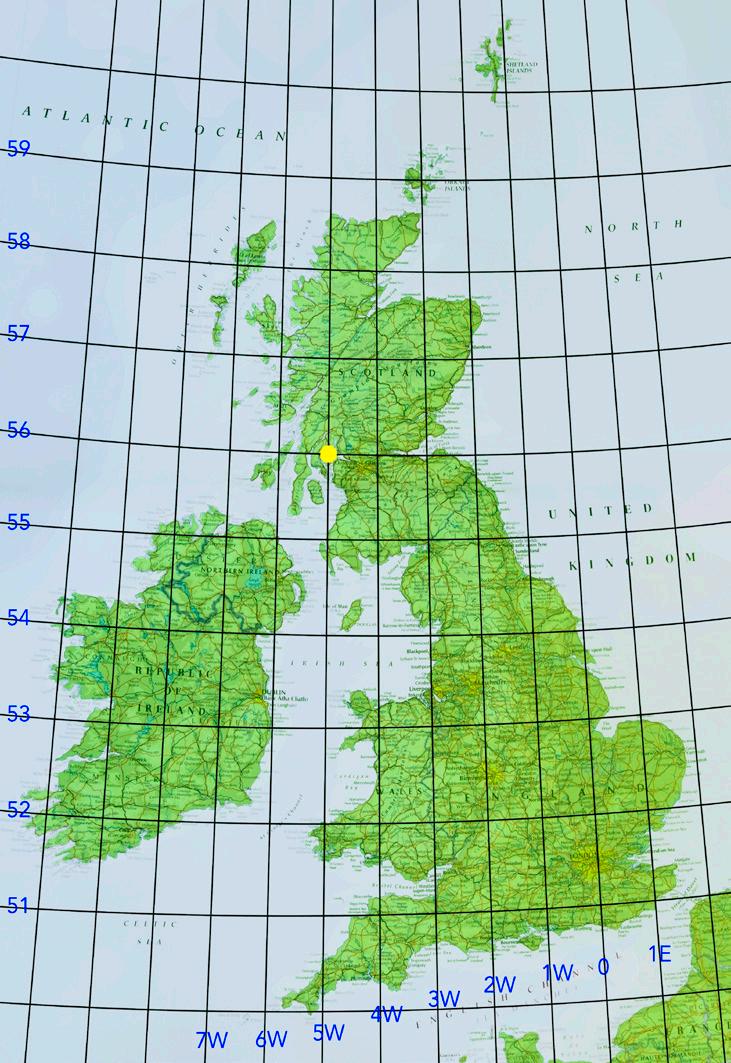
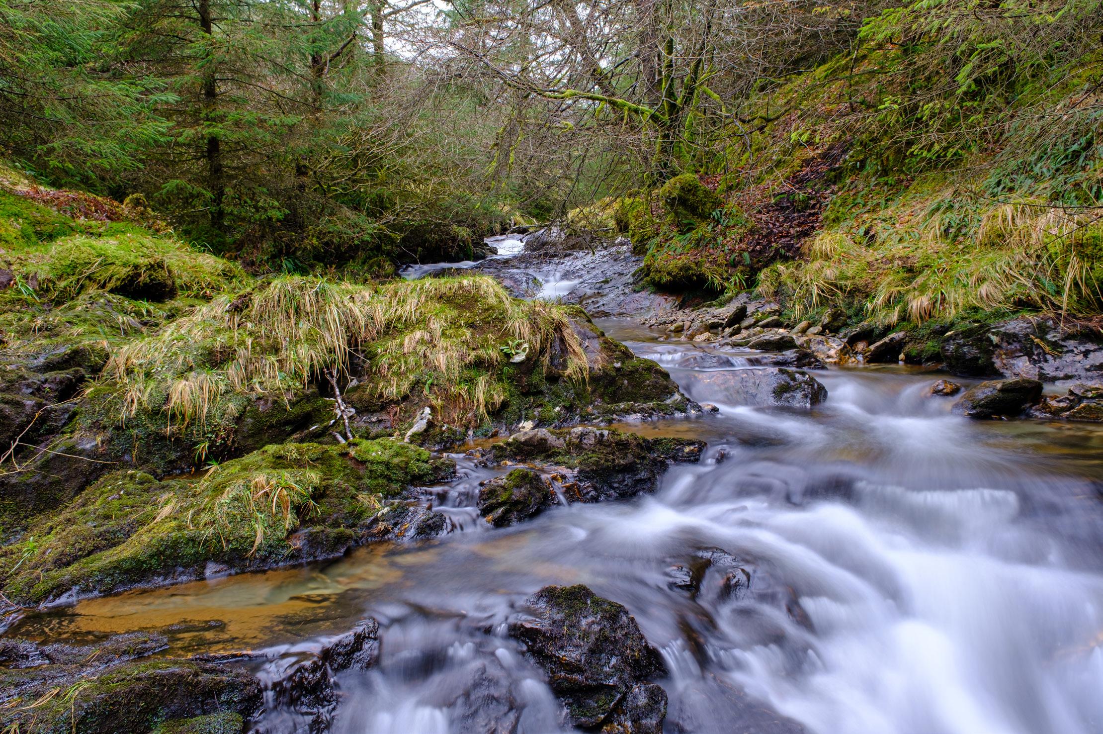
This was taken very near to the intersection point looking west. I had previously visited this location in order to explore the area. It is reached by a short ferry crossing from Gourock to Dunoon. There is a small forest stream, Balagowan Burn, and a large forest. The original location I tried was close to a forest track but there was a steep slope leading down to the burn, making it difficult to safely access from the forest side. As I ran out of time on my first visit, I decided it was worth returning to explore the other side of the burn. This time it was much easier to get good, safe access to the burn and use a long exposure to better represent the setting.
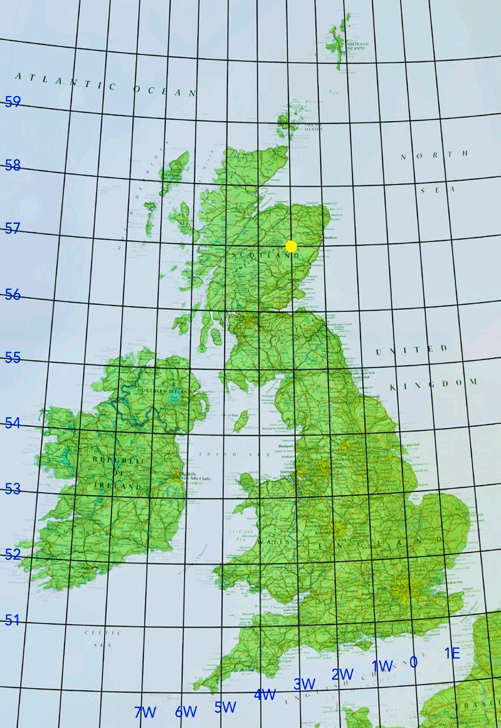
One of the most remote locations in the By Degrees project, this image required a 6km walk and nearly 500m ascent from the nearest road, mostly on an estate track, before cutting across the bog for another kilometre through thick heather; not easy going!
Taken at the intersection following the driest July for over 100 years, this image depicts a totally dry upland peat bog. The image looks towards the Munro Mount Keen (939m), some 3km to the SSE. The heather and grasses were rendered white by the use of an infrared camera whilst the peat, visible in the bog gullies in the foreground and middle distance, appears black.


 Jean Robson ARPS
Not a spot frequently visited, or one that I would have gone to but for this project, but it turned out to be a gem! A 7km cycle up a dirt road, then a climb up and over a col covered in deep heather which offered tremendous views of the Monadhliath hills. Finally a plod across an area of upland bog to reach the intersection which offered equally splendid views of the Cairngorm plateau. Though the day was largely overcast, some breaks in the cloud allowed me to capture the cold, bleak beauty of the plateau.
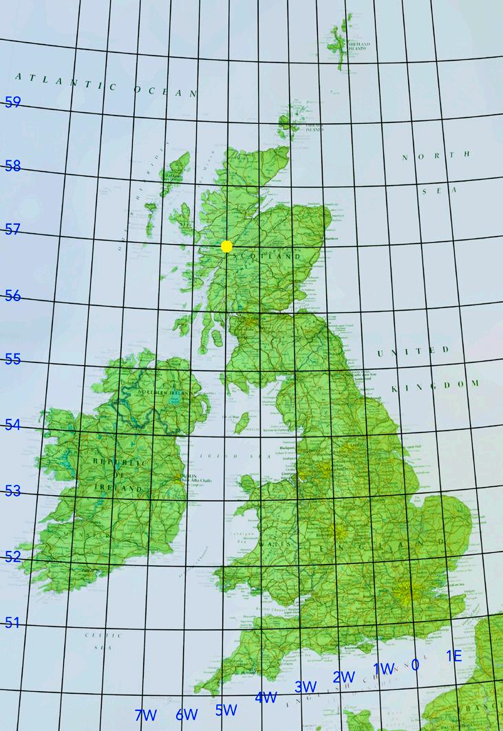
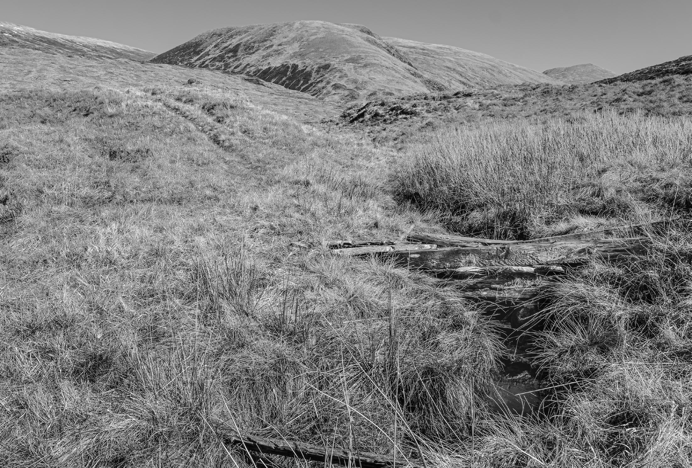
The intersection is in the West Highlands of Scotland, about 15 miles north of Fort William. Access involved a three mile walk north from the shore of Loch Arkaig, on a little used stalkers’ track leading to boggy moorland. The exact location of the intersection is a short distance from where I stood, looking north. It is on the hillside in the top left of my photograph. I chose to show the nature of the terrain and the derelict bridge over the Allt Dubh.
Location: inland from Golspie, Sutherland. The precise position the image is taken from is 58º0’19”N, 4º0’0”W. Approximately 0.6km north of 58ºN 4ºW.


The position of 58ºN 4ºW lies in the valley floor by a stream on the centre line of the image. The view is looking SSE.
The monument is to the infamous Duke of Sutherland and sits on top of Ben Bhraggie, at 397m.
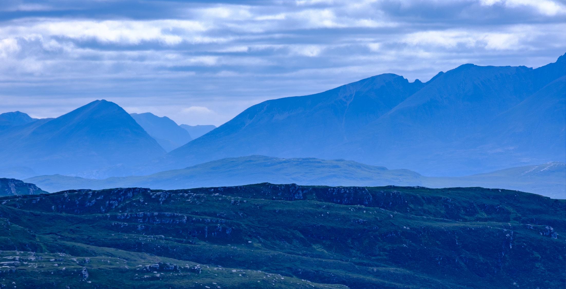
Taken from the intersection point looking south-southwest towards the Fisherfield Forest, also known as the Great Wilderness, which contains the remotest Munros in Scotland. From left to right are several Munros (including Munro Tops) and a Corbett: Beinn Tarsuinn (934m) is in the heart of the Fisherfield Forest, one of the wildest places in Scotland; Beinn a’ Chlaidheimh was listed as a Munro itself until 2012, when it was found to come up just 44cm short of the required 914.40m height required for a Munro and was subsequently downgraded to Corbett status according to Wikipedia; Slioch (981m); Sail Liath (An Teallach - Sgùrr Fiona) (954m); and Stob Cadha Gobhlach (An Teallach - Sgùrr Fiona) (960 m). The most distant peak is Ruadh-Stac Mor (Beinn Eighe) (1010m).


58 º N 7º W on Harris is one of the most scenic latitude and longitude intersections in the whole country. I camped at the spot overnight with my wife and our dog at the end of May, hoping for a sunset but instead finding overcast conditions and an icy northerly wind. I was up at 4.30am the following morning to find clear skies and I made my way to the northern side of Loch Braigh Bheagarais to align the loch with the distant view of the Harris hills and Luskentyre. This photo was taken at 58 º 00’05”N, 7º 00’09”W. The true intersection lies just 300m from this point, on the far left edge of the image, but ultimately this majestic view was too much to pass up!


The intersection 59 º N 3 º W is in the green fields, just beyond and to the left of the small farm building located in the field left of centre with all the sheep. The image is a panorama taken from Wideford Hill looking north west. The island of Shapinsay is the main landmass visible across the water. Behind Shapinsay you can see one of the vast cruise liners which visit the Orkney archipelago every year. The viewpoint on Wideford Hill is about one mile from the intersection.

Richard Ellis ARPS (Chair)
Andy McLaughlin (Secretary)
Mark Edwards (Treasurer)
Chris McIntosh (Events Manager Professional)
Dave Glenn (Member-Led Events Manager)
Ellie Lilly (Magazine Editor)
Peter Fortune (Newsletter Editor)
Sue Wright Uppington (Website Editor)
Mark Reeves FRPS (Vice Chair)
Fiona McCowan FRPS (Member Without Portfolio)
Colin Balfour (Member Without Portfolio)
Magazine
Guest Editor Mark Reeves FRPS
Assistant Editor Gaynor Davies ARPS
Magazine Design & Production Paul Cayton
Please send articles for the magazine to landscapemagazine@rps.org
THE ROYAL PHOTOGRAPHIC SOCIETY
RPS House, 337 Paintworks, Arnos Vale, Bristol, BS4 3AR, UK rps.org
Incorporated by Royal Charter

Patron
HRH THE DUCHESS OF CAMBRIDGE
President and Chair of Trustees
SIMON HILL FRPS
Chief Executive Officer
TO BE APPOINTED
Hon Treasurer
TO BE APPOINTED
Landscape is the magazine of the RPS Landscape Group and is provided as part of the annual subscription to the Group.

© 2023 The Royal Photographic Society. All rights reserved on behalf of the contributors and authors. No part of this publication may be reproduced, stored in a retrieval system or transmitted in any form or by any means, electronic, mechanical, photocopying, recording, or otherwise without the written permission of the copyright holder. Requests for such permission must be addressed to the Editor.
The Royal Photographic Society, RPS Landscape Group and the Editor accept no liability for any misuse or breach of copyright by a contributor. The views expressed in this magazine do not necessarily reflect the policies of the Royal Photographic Society or of the Landscape group.
Royal