2016
MOAB UTAH
S L I A R T 38 S Y A 9D
MARCH 19 – MARCH 27
2016
5
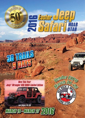
see pages 44/45
M
New This Year Jeep® Wrangler RED ROCK Limited Edition
or EXP d n O e V ch 24 2 ar
2016
MOAB UTAH
S L I A R T 38 S Y A 9D
MARCH 19 – MARCH 27
2016
5
see pages 44/45
M
New This Year Jeep® Wrangler RED ROCK Limited Edition
or EXP d n O e V ch 24 2 ar