4 minute read
Deadman Springs Trail


John & Peggy Encheff, Leaders Wednesday 4/13 Kevin Fox, Leader Friday 4/15

The Deadman is off Spring Canyon road. In years past, this trail was the fi rst part of Secret Spire Trail. The trail will go to the actual spring with a no-longerfunctioning stock reservoir, where in the 1890’s two cowboys found a dead cowboy at the springs. This is a nice scenic four wheeling trail. Lunch will be on a large slickrock area where you can look over Spring Canyon back to the Secret Spire.
Scenery: You will see the beginning of Spring Canyon, the spring, along with The Twins, Queens Rock, and DMS waterfall.
Road Surface: There are some easy rock and dirt sections, occasional ledges, descents that demands a driver’s attention, some slickrock and sandy sections.
To be used:
Wednesday 4/13 Friday 4/15
Associate Leaders:
James Buck, Bill Dean, Beth Fox, George Schultz.
PUTTING YOU IN CONTROL OF YOUR BUILD
Whether you’re bolting on the latest mod, wrenching on a piece that took some abuse on the trail or keeping your vehicle safe from the elements, we’ve got the perfect garage, shop or multi-purpose building for you. Miracle Truss® Buildings hybrid web steel truss buildings are designed for the do-it-yourselfer. Our clients love the clear span ceiling design as well as the flexibility that the structure offers for insulating and finishing. We’re here to help. Contact us today and mention this ad to receive a free*
service door with your building order! 800.208.1969 miracletruss.com
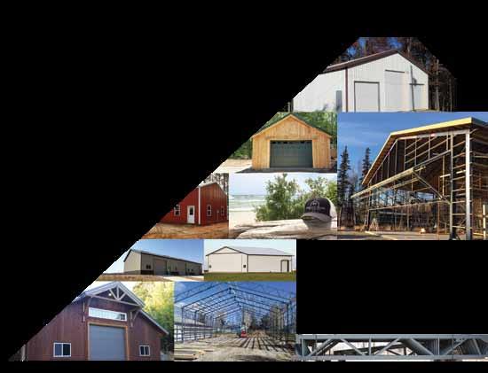
*Offer may end at any time.
EASY ASSEMBLY STEEL FOR STRENGTH WOOD FOR FLEXIBILITY
OFFICIAL BUILDING OF IAN JOHNSON’S:
SPACIOUS BY DESIGN


� e Easter Jeep Safari trails are hardly more than a sample of the opportunities to explore this fascinating country. As you travel most of the trails, you may see many road junctions along the way. For Red Rock 4-Wheelers events, we have put together sections of roads that make interesting one-day trips and gave them names that either are historic or are intended to be enticing.
Grand County has more than 6,000 miles of roads — that’s a little more than half a mile for every man, woman, and child living here. � e county routinely maintains about 1,700 miles of those roads to be passable for two-wheel drive (barring bad weather or recent wash-outs). � e rest may be occasionally repaired by the county, but in most cases they are maintained by their users barely well enough for their intended use. And that leaves a tremendous variety of roads to wonderful places. � e roads are usually not rough fourwheeling all the way, nor are they all a cruise in the park. Typically, the roads were originally pretty well constructed and remain fairly easy over most of their length, but a few erosion gullies or rockfalls may leave them close to impassable. � ere may be some rather dull miles, but there can be delightful surprises in the way of scenery, remains of historic activities, and driving challenges. � e Book Cliff s area, for instance, appears to be stark country from the highway, but is colorful and beautiful in the higher elevations (and muddy...watch the weather!). Safari activity barely touches the Dolores River area. � e Dolores Triangle can be reached by river ford in low water times. � e west side of the river has many old mining roads. Access has been improved by Red Rock 4-Wheelers repairs on a couple of roads. See a map for Sevenmile Mesa, Blue Chief Mesa, Big Pinto Mesa, and others. Come back after the snow melts for the La Sal Mountains, Adobe Mesa, Fisher Mesa, or Polar Mesa.
Not far from Grand County, and West of the Green River, the San Rafael desert is interesting and the San Rafael Swell is huge and fascinating. To the south, some Safari trails are in San Juan County, where there are mountains and canyons that deserve more traffi c than they get. � e well-known Colorado areas around Telluride, Ouray, and Silverton have some of the fi nest mountain scenery on earth. Closer to Moab, just across the Utah border is more “canyon country” with exceptional beauty, many mine ruins, and fascinating geology. Watch for Sinbad Valley, Paradox Valley and surrounding mesas, Bull Canyon, and other canyons to the south where explorations are inadequate.
Maps?!! Carry all you can, because no single map gives all the information, even in a small area. USGS topographical maps, both 1:100,000 metric series and 1:24,000 quadrangles, are almost essential despite being sadly lacking in road information. San Juan County (check with the County Clerk in Monticello) has a book of color maps based on USGS 7½-minute quadrangles reduced to half size but augmented with information on their county roads gleaned from their GPS surveys.
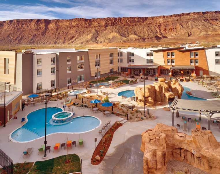
Stay at one, play at two!