9 minute read
The Places We Call Home
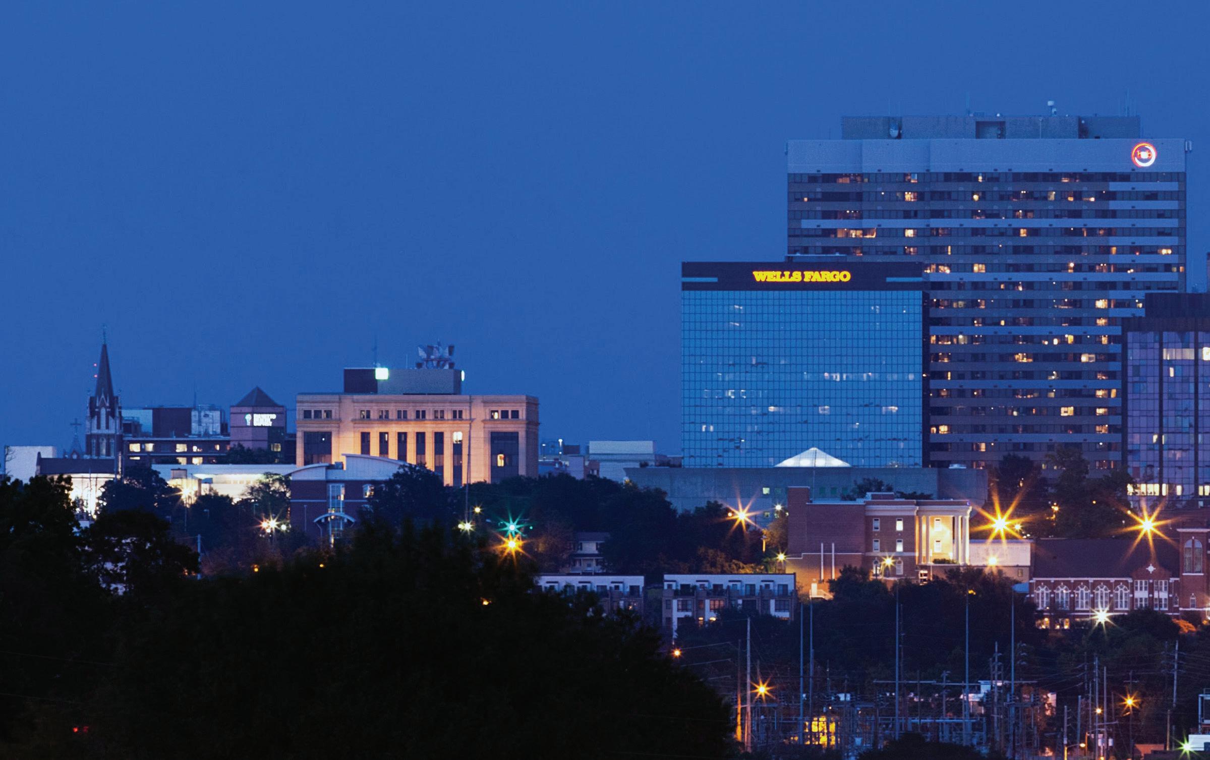
Downtown Columbia
Seven municipalities and several major unincorporated areas make up Richland County. The County also has five defined areas outlined by the Planning Department as the Beltway, North Central, Northeast, Northwest and Southeast.
BELTWAY
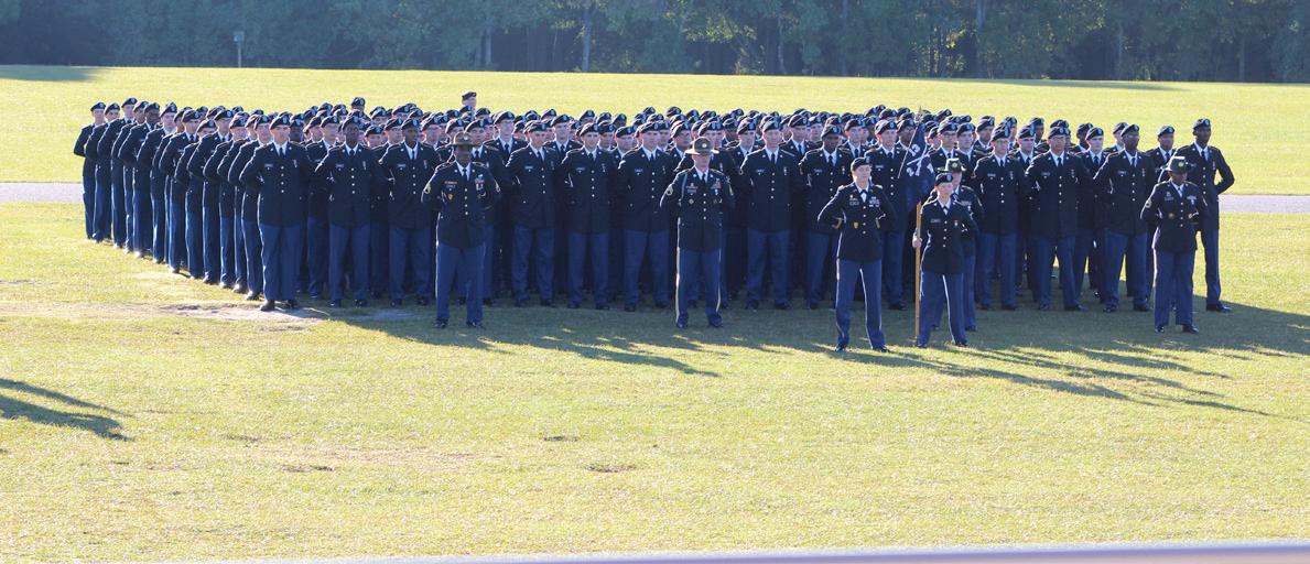
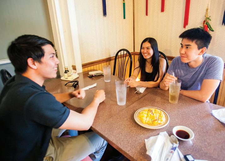
The Beltway is the center of Richland County and generally is not referred to by a name as other parts of the County. The Beltway includes the capital city of Columbia and the municipalities of Arcadia Lakes and Forest Acres. Full of diverse communities, this is the County’s main urban core, even though it has plenty of areas reminiscent of rural landscapes and suburban enclaves. The Beltway is home to the County’s International Corridor along Decker Boulevard in unincorporated Dentsville, called the original Northeast by some residents. The main gate to Fort Jackson is located here, too.
NORTH CENTRAL
The North Central area lies north of I-20. It is bordered by the Broad River on the west and heads toward U.S. 321 to the east. The City of Columbia stretches into this part of the County, which is mostly unincorporated and referred to as Upper Richland by some residents. Along with the Southeast, it is one of the more rural areas in the County. Monticello, Winnsboro and Fairfield roads are key travel routes in the area, where rural vistas abound with rolling hills, winding roads and farms. The local community center here overlooks one of the County’s most popular golfing spots; the 257-acre, 18-hole championship quality LinRick Golf Course.
NORTHEAST
The Northeast area lies mostly north of I-20 and stretches roughly from Fulmer Road to Kelly Mill Road. It also includes busy routes such as Wilson Boulevard and Hardscrabble, Clemson and Killian roads. Along with parts of Columbia, the growing Town of Blythewood is located here, as well as the unincorporated areas of Pontiac and Killian. Two attractions offer unique settings for exploring nature: Sandhill Research and Education Center on Clemson Road and Sesquicentennial State Park on Two Notch Road. The Northeast is known for its mix of planned communities and shopping districts, including The Village at Sandhill.
NORTHWEST
The Northwest is defined as the area north of I-20 and west of the Broad River. Along with Columbia, the area is home to the Town of Irmo and the well-known unincorporated communities of Dutch Fork, Ballentine and White Rock. The northernmost part of this area is dotted with quiet farms and has access to the Broad River and Lake Murray. The northern section contrasts with the more densely populated neighborhoods closer to I-20 and I-26. One of the County’s biggest shopping malls, Columbiana Centre, is located here, and one of two state parks in Richland County, Harbison State Forest, is nestled along Broad River Road.
SOUTHEAST
The Southeast, generally referred to as Lower Richland, runs from the southern end of Fort Jackson to the County line. The area encompasses parts of Columbia, the Town of Eastover and the unincorporated communities of Hopkins and Gadsden. The main gate to Fort Jackson is located in the Beltway, though most of the fort’s property lies within the Southeast. The area is full of scenic vistas, farmland and hunting grounds, and is home to the state’s only national forest — Congaree National Park, which preserves the country’s largest tract of old-growth bottomland hardwood forest. McEntire Joint National Guard Base and several major manufacturers are located here, too.
MUNICIPALITIES
ARCADIA LAKES
This community along the north end of Trenholm Road was settled in the early 20th century as suburban development grew from Forest Acres and Columbia. It takes its name from the numerous man-made lakes in the area that provide scenic views and wildlife habitats. Arcadia Lakes was incorporated in 1959 and is home to more than 860 residents.
BLYTHEWOOD
This town that straddles the Northeast section of Richland County and part of Fairfield County began in the mid-19th century as a rail stop between Columbia and Charlotte, N.C. It was once called Doko, supposedly an Indian or African name for the water tower at the stop. In 1877, it was renamed Blythewood to reflect the area’s peaceful, wooded nature. Incorporated in 1879, the town is home to more than 3,700 residents.
CAYCE
Cayce sits along the Congaree River primarily in Lexington County but also includes a portion of Richland County along Bluff Road and I-77. With more than 14,000 residents, the city is known for its river access and local history.
COLUMBIA
Created in 1786 by an act of the South Carolina General Assembly, Columbia was named after Christopher Columbus. This new capital city at the confluence of the Broad and Saluda rivers became a central place for the State House, permitting all residents of the state equal access to its house of government. In 1799, Columbia became the county seat of Richland County. Today, Columbia, which also extends into Lexington County, is the second-largest city in the state, with a population of about 133,000.
EASTOVER
Eastover began in 1880 as a station on the Seaboard Coast Line Railway. Located in the vicinity of several antebellum plantations, Eastover was so named because it was on the east bank of the Congaree, although some say the name refers to its location east of Western Place plantation. The town was incorporated in 1907 and has more than 800 residents.
FOREST ACRES
Chartered in 1935 as a suburban development between Columbia and Camp Jackson, Forest Acres was named by the town’s first mayor, John Hughes Cooper, for the area’s tall pines. Years earlier, antebellum planters had built summer homes in the area, which was formerly known as Quinine Hill. Forest Acres’ population is more than 10,000.
IRMO
Irmo is located in both Richland and Lexington counties. Its clusters of suburban neighborhoods are close to Lake Murray and all the water activities it affords. The town has more than 12,000 residents.
UNINCORPORATED AREAS
BALLENTINE
Once a small community of German farmers along the Saluda River and its tributaries, Ballentine takes its name from the Ballentine family who operated a mill, general store and farm in the area. In 1890, the Columbia, Newberry & Laurens Railroad established a mail stop in the area and named the stop “Ballentine.” The area changed dramatically in 1930 when the Saluda was dammed to create Lake Murray. Ballentine is home to more than 3,500 residents in the area between Lake Murray and I-26.
DENTSVILLE
Located near the junction of Decker Boulevard and Two Notch Road, Dentsville was named for the Dent family who settled in the area in the early 1800s. In the late 1800s, a rail station known as Dents was built by the Southern Railway Co. The area surrounding the station took the name Dentsville. More than 14,000 people live in Dentsville.
DUTCH FORK
The area between the “fork” of the Broad and Saluda rivers from Columbia to Newberry, Dutch Fork was settled by Germans between 1730 and 1770. The name comes from the German word “Deutch” for the German people. A large portion of the original Dutch Fork settlement is now covered by Lake Murray. The hydroelectric power generated by the Saluda dam provides energy to thousands of residents, and the lake provides a place of recreation to many in the wider region.
GADSDEN
This community in Lower Richland along Bluff Road was named for James Gadsden, a Charlestonian and former president of the South Carolina Railroad. The Gadsden station was built in 1840 and was the first station in Richland County. For several years, a stagecoach line took passengers from the station to Columbia or Camden. More than 1,700 residents live here.
HOPKINS
This community in Lower Richland was named for John Hopkins, who established a plantation here in 1764. It was once known as Hopkins Turnout, as the South Carolina Railroad placed a railway turntable here in 1840 in order to turn its trains around for the return trip to Charleston. The Hopkins community is home to more than 3,000 residents.
HORRELL HILL
A community along Garners Ferry Road in southeast Richland County, Horrell Hill was the site of the first courthouse in the County until it was relocated to Columbia in 1799. It takes its name from Thomas Horrell, who settled here in the mid-19th century. There are more than 11,000 residents.
NORTHEAST RICHLAND
The Northeast portion of the County was once farmland with numerous streams that emerged in the sandhills and emptied into the Wateree River. In the early 20th century, small communities built up along the Southern Railroad stations in the area. However, this part of the County remained rural until the latter portion of the 20th century, when suburban developments along Interstates 20 and 77 brought a population boom to the area. More than 50,000 residents call the Northeast home.
ST. ANDREWS
This area in the northwestern edge of Richland County takes its name from the St. Andrews Lutheran Church, which was established in 1835 by German settlers. This church was removed from its original site in 1950; however, the cemetery remains on St. Andrews Road. The St. Andrews area is home to nearly 22,000 residents.
UPPER RICHLAND
This section of Richland County north of Columbia along the road to Winnsboro was once home to small farms and plantations. Upper Richland contains the Camp Ground community, named for an early Methodist campground meeting place. The area has more than 5,500 residents.
WHITE ROCK
Named for an outcropping of rocks used by Native Americans for tools, White Rock began as a rail station in 1890 on the Columbia, Newberry & Laurens line through Upper Richland County. White Rock is part of the cluster of growing Dutch Fork communities around Lake Murray.

