Re-Imagining the protected center
(Case of De Wallen Amsterdam)
RWTH Aachen university
Transforming city region
SHIVANI HANDA
A report on ‘Re-Imagining De-Wallen’ drafted for Master thesis for M.Sc. Transforming City Regions at RWTH Aachen University.
Winter Semester 2023-24
ABSTRACT
While Amsterdam as a whole is embracing the Amsterdam Climate Neutral Roadmap 2050, it’s also important to incorporate strategies for protected area of central district ‘De Wallen’. Present adaptation strategies are not tailored to addressing climate change mitigation for protected sites due to various reasons. The Imminent project for retrofitting of the Quay walls presents a unique opportunity to upgrade infrastructure, preserve our culture heritage and lead by example. This project will focus on strategies for mobility, built environment anf energy to to sequester carbon footprint for reducing the impacts of climate change for people and heritage.
Site background
District performance
Street activities
Urban fabric
Site potential & challenges
CONCEPTUAL FRAMEWORK
Vision
Spatial strategies
FOCUS AREA
Jordan neighbourhood
Layers
Schematic design
Masterplan
Visuals
CONCLUSION
Phasing strategy
Learnings
1.
INTRODUCTION
2.
3.
4.
INTRODUCTION
Site background
District performance
Street activities
Urban fabric
Site potential & challenges
1.
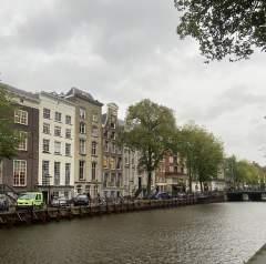
‘De Wallen’ is a vibrant and bustling area within Amsterdam. With over 80,000 inhabitants, this 8.04sqkm area has something to offer everyone. From its iconic canals to its cobbled streets, Amsterdam Centrum has become a UNESCO World Heritage site in 2013 and is now the most visited area in the Netherlands. Visitors from all around the world come to explore and admire its beauty, making it truly one of a kind.
The canal-belt has earned its place in the UNESCO World Heritage Site for good reason it offers an array of choices across three categories:
1. “to represent a masterpiece of human creative genius”
2. “to exhibit an important interchange of human values, over a span of time or within a cultural area of the world, on developments in architecture or technology, monumental arts, town-planning or landscape design;”
3. “to be an outstanding example of a type of building, architectural or technological ensemble or landscape which illustrates (a) significant stage(s) in human history;”
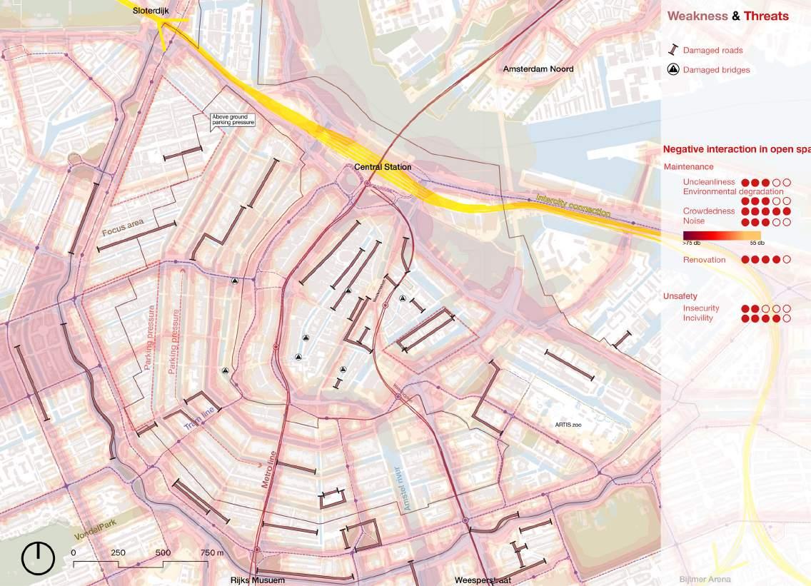
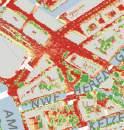
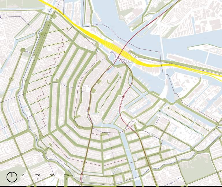
These criteria exhibit unique value of canal belt which includes unique urban floor plan, water management, trade and commerce and green lungs.Currently, there is increasing stress in the central area of the city, which has impacted its image over the years. Heat stress is particularly high in open areas of the center, such as Amsterdam central and Nieumarkt square. The absence of open green spaces in the inner city has resulted in a rising temperature, leading to an increase in energy consumption. Amsterdam has launched an initiative to identify and repair deteriorating quay walls & bridges. The city, which boasts over 6009 km of public quays, has 200 km in need of restoration or enhancement.
Thus, the ongoing retrofitting project gives us an opportunity to include these areas and propel a transformation towards sustainability.
SITE BACKGROUND
Amsterdam-Centrum is the innermost borough and historical city centre of Amsterdam, Netherlands, containing the majority of the city’s landmarks. Established in 2002, AmsterdamCentrum was the last area in the city to be granted the status of self-governing borough. The borough is only 8.04 km2 large and covers the old inner city and the UNESCO-listed Amsterdam canal belt. In 2013, the borough had approximately 85,000 inhabitants, who on average had the second-highest income per household in the city (after Amsterdam-Zuid) and one of the highest in the country.
Area: 8 sqkm.
Population Density: 6.617 persons/sqkm.
Population Growth: +5.8% (1975-2015)
Demographic Data
Population: 90.000 inhabitants
Gender ratio (Male:Female): 49:51
Noord
Oost
West
Westport
Nieuw West
Zuid
Germany Belgium
Zuidoost Weesp Centrum
North Sea
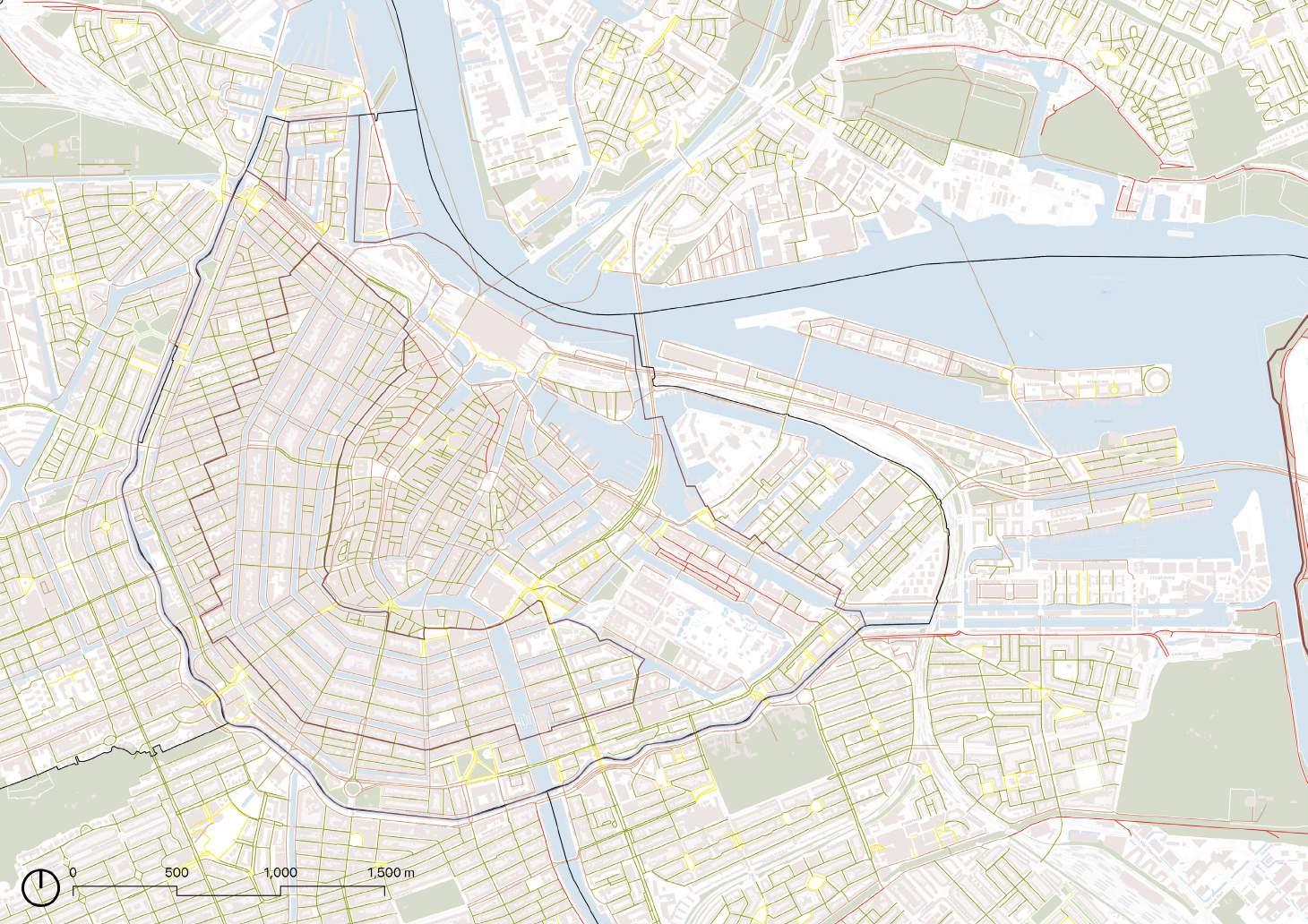
Roads along canals
Roads between buildings
Roads along squares
Narrow roads between buildings
Ongoing construction
Construction on bridges
1. 4. 3. 8. 6. 7. 5. 2.
SITE BACKGROUND

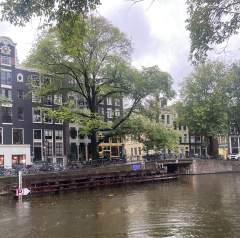
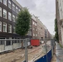
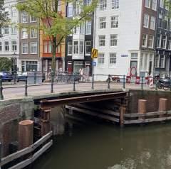
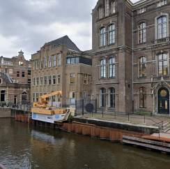
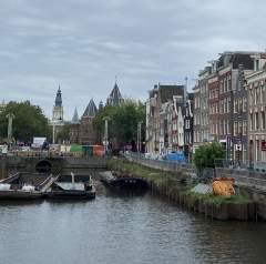
Streets between buildings Streets along canals
1. 2. 3. 4. 7. 6. 8. 5. 5%
40%
55%
Streets along sqaures
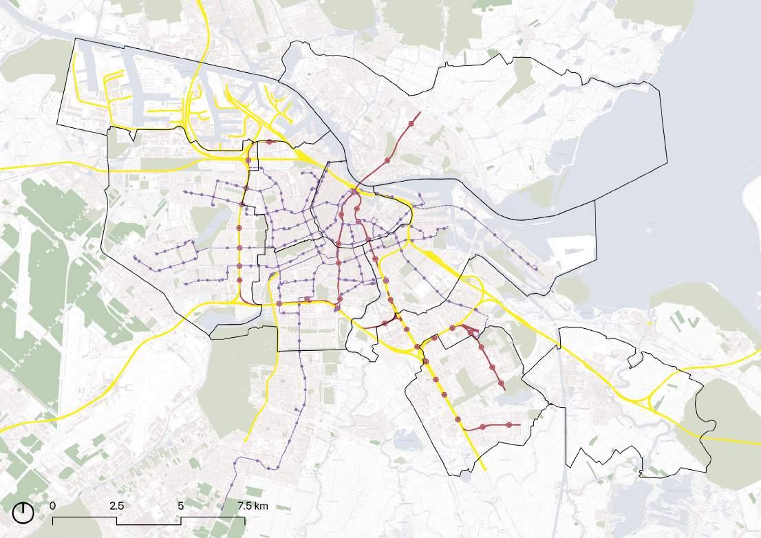
DISTRICT PERFORMANCE
Metro stop Rail connection Tram stop
Arts and culture
Museum dist.
Multicultural dist. Trendy dist.
Schipol airport
New district
Red light dist.
Port district Zaandam
Haarlem
Utrecht
Alemere
Oosterwald
City and Neighbourhood
75+
Retail/
Insulated Buildings Building with solar panels Sustainibility Index Accesible green areas Category Category Traffic Nuisance Performance Performance
Population
age Residents
1000 Residents
Residential Services


Tourist groups


Souvenier shops

Rental services Tourist boats


Street Furniture


Kids playing

Street Art Green facade
 HoReCa (Hotel, restaurnats, coffeeshop)
Terraces
HoReCa (Hotel, restaurnats, coffeeshop)
HoReCa (Hotel, restaurnats, coffeeshop)
Terraces
ACTIVITIES
STREET
Residential Services

Auto /bicycle parking

Gardening





 Lending library
 Street Furniture
Festival decor Green terraces
Kids playing
Kids playing
Street Art Green facade
Interaction with water
Lending library
Lending library Street Furniture
Festival decor Green terraces
Kids playing
Kids playing
Street Art Green facade
Interaction with water
These streets are further divided into two categories: one with a predominant work/ service focus and less residential use, and the other with a stronger residential presence and minimal work/service activities. This categorization is crucial for understanding the current streetscape in the central district.


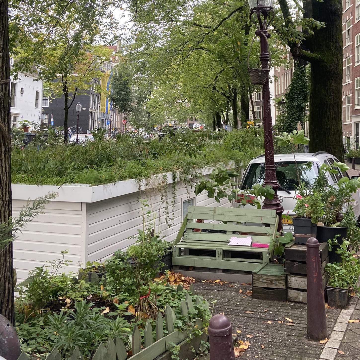
Observations reveal that areas with a higher concentration of services experience issues such as littering, garbage overflow, noise pollution, and increased energy consumption. These neighborhoods primarily cater to tourists and host establishments like fry and waffle shops, souvenir stores, and other commercial enterprises. In contrast, residential areas showcase numerous private initiatives, including gardening and green terraces.
Homeless people Moving trees Festivals/ parades Logistics/Auto parking Weekly Markets Outdoor restaurants
Residential Services
STREET ACTIVITIES
URBAN FABRIC
1%-30% Residence
31%-50% Residence
51%-60% Residence
61%-70% Residence
71%-90% Residence
Ratio: Center vs City
Build 42% vs 23%
Ratio: Center vs City
Green cover 3% vs 32%
Green park - pocket parks -Private gardens
Water 20% vs 28%
Ratio: Center vs City 15 km/hr
Ratio: Center vs City
Road speed 22% vs 35% 30 km/hr




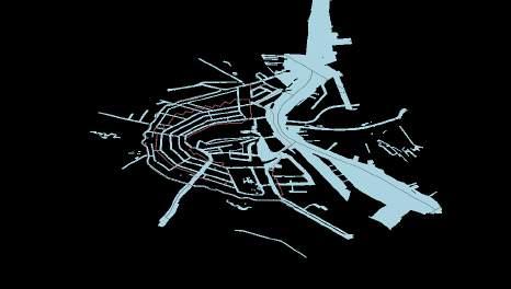
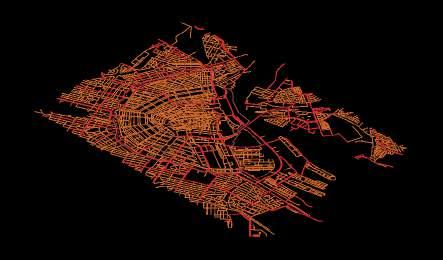
15Minute Metro stop Tram stop Bus stop

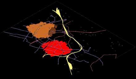

Residential %
Trees
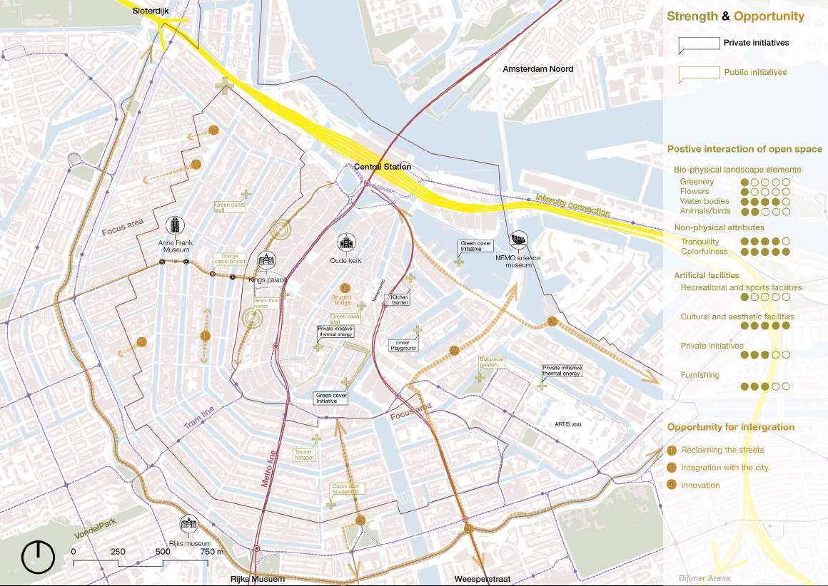
SITE POTENTIAL
taeH tser s s SITE CHALLENGES
Conceptual Framework
Vision
Spatial strategies
2.
Carbon Neutral Center
renael
Culture and heritage have a crucial role to play in decarbonizing and developing fair and inclusive pathways for climate action. The first project of its kind, Net Zero: Heritage for Climate Action seeks to implement heritage-based mitigation and adaptation strategies on the ground to reduce the impacts of climate change for people and heritage.
reihtlaeH C
Greener
MOBILITY BUILT ENVIRONMENT ENERGY VISION
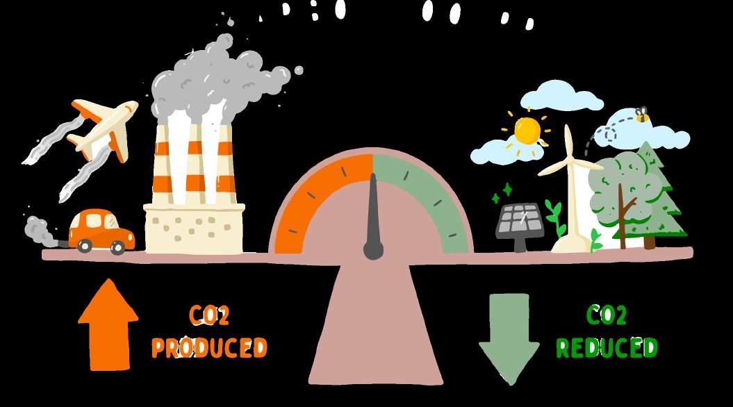

18% of the total carbon emission is from the Mobility sector. Thus the strategy for ‘De Wallen climate neutral 2050’ is based on 3 modes: Avoid: Individual motorised travel Improve: other tranport modes Shift: to sustainable models
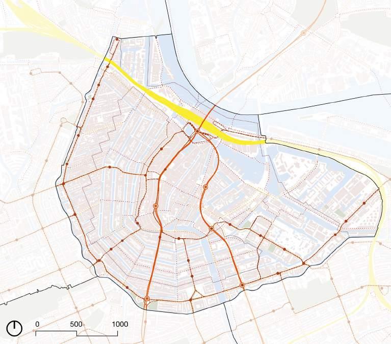
The main goal is to minimise the number of polluting kilometres travelled, in order to reduce carbon emissions from transport in Amsterdam. In addition to that car-sharing models for neighbourhoods are proposed to less, smarter and above all clean transport.

Bike & Pedestrians first

Car as ‘guest’ design

Limit city streets


Surface parking limitation

Charging point Metro stop
Car sharing points
Logististics via waterways

Tram stop


connection
connection Bike priority lane Car sharing districts
SPATIAL STRATEGY
Rail
Single Bicycle
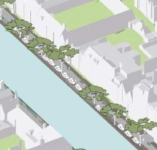
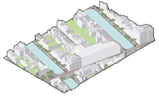
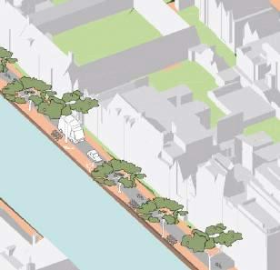
Currently, the streets of UNESCO core area value is depleting because of surplus of cars and high-carbon emitting mobility.


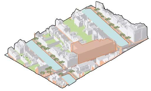
Surface car parking ban on canal streets; reclaiming the street. ‘Car as a guest’ design implemented in the core area.
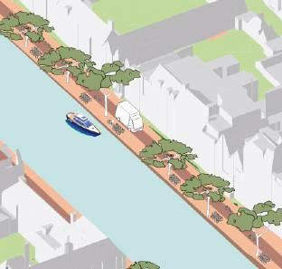


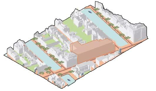
In the part closest to the urban quarter, the car parking is transformed into green residential parking or into a communal space.
Residential parking Green Residential parking Parking garage
1. 3.
// FLEXIBLE MOBILITY TRANSITION
2.

25% of the total carbon emission is from the built environment sector. The main goal is to reclaim the street surfaces with sponge measures. In this way the central district can be connected to rest of the city’s green infrastructure.

Green city corridors

Connected landscapes

Quality Flora

Green canal wall


Grow/ play street
Green ground cover & shubbery
Fauna crossing
Row of trees
Proposed green connection
SPATIAL STRATEGY
3.
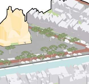
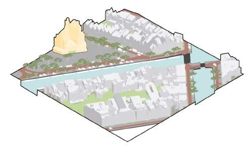
A monumental part of the city, characterized by its stony materials, suffers from heat on sunny days.
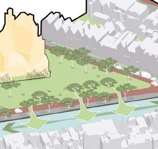


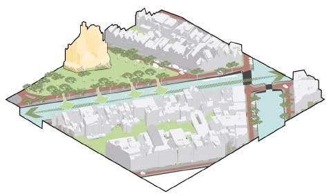
Experiments are done to add vegetation, reduce car-dominance and diversify surface types.
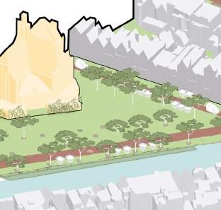


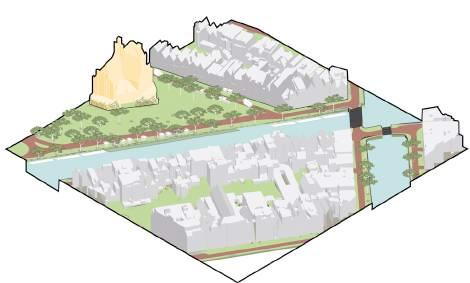
Reducing car traffic leads to possibilities for more green. Aquapnonicas in water is uplifting water biodiversity.
2.
1. // FLEXIBLE ECOSYSTEM TRANSITION

35% of the total carbon emission is from the Energy sector. One way is to siphon heat from the canal water and store it for the winter months. According to a study by Waternet, up to half of Amsterdam’s heat demand can be met by aquathermal heating. The remaining energy needs could then be fulfilled using other solutions, such as biogas, solar energy & hydrogen.
Future-proof underground
Insulated buildings

Sustainable energy generation
Electicity & data in public space
Provision for E-cars
Energy storage
Generating Solar/
Bio Energy
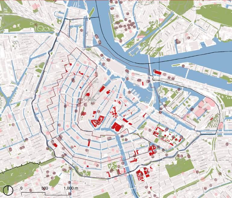
SPATIAL STRATEGY
Public buildings WKO VBWW Restricted area High water temp
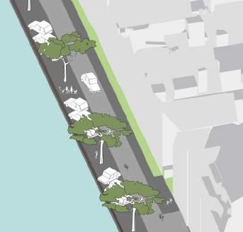
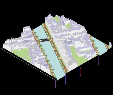
A generic housing block should be connected to renewable energy sources.
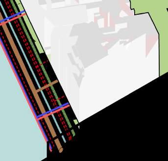
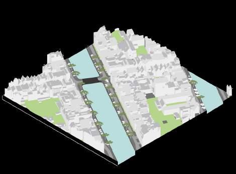
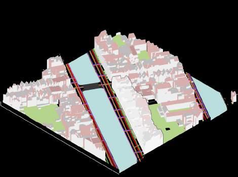
Investments lead to future proofing the underground with provision for future and possible roofs for solar panels are marked.
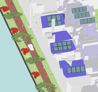
The collective investment leads to more collectivity, such as shared cars, bicycles and a communal garden.
 1.
2.
1.
2.
// FLEXIBLE ENEGY TRANSITION
3.
Focus Area
Jordan neighbourhood
Layers
Schematic design
Masterplan Visuals
3.
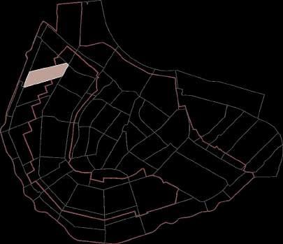
Noordmarkt Neighbourhood
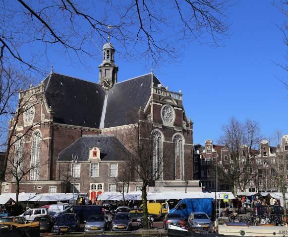
Noordmarkt
The narrow canals and streets of trendy Jordaan are flanked by indie boutiques, cozy pubs and hip eateries. Stalls at the Noordermarkt square market offer jewelry, clothes, antiques and organic food. Antiques Centre Amsterdam sells vintage ceramics and paintings, while smaller galleries in the area focus on innovative contemporary art. Other attractions include the Houseboat Museum and the Amsterdam Cheese Museum.
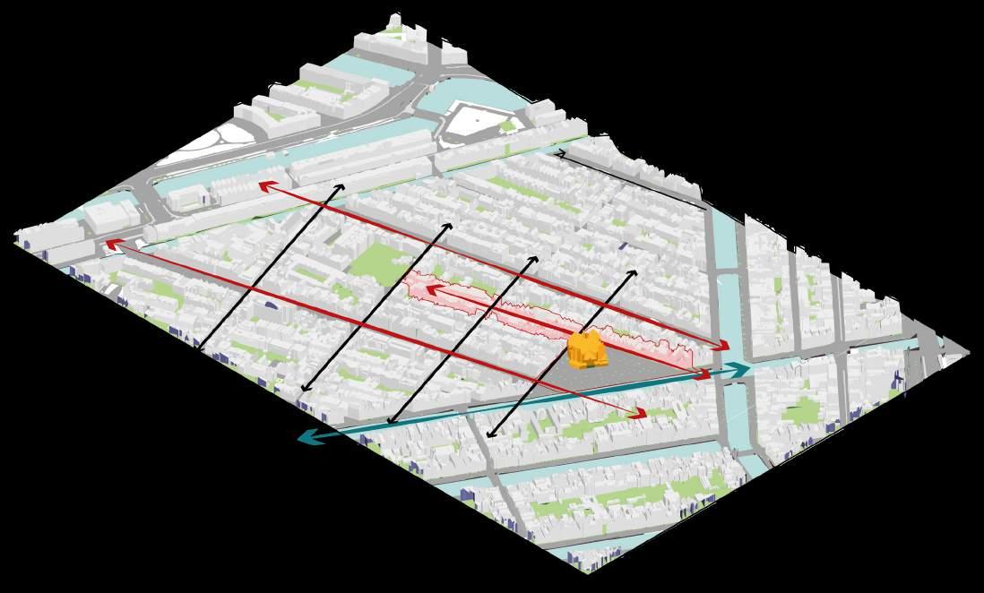
Jordan sub-district JORDAN NEIGHBOURHOOD
14/02/24, 9:29 PM 168 Lindengracht - Google Maps Amsterdam, North Holland Google Street View Mar 2023 See more dates 168 Lindengracht Total Residents: 2120 Area: 97,000 m² 241 0-17 65+ 372 1539 18-64
Leidengracht Westerstraat Noorddekerk
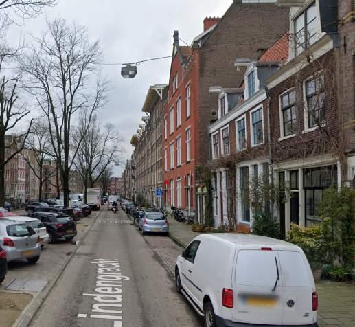
Westerstraat & Leidengracht
Streets are a major street in the Jordaan, a neighborhood of Amsterdam, in the Netherlands. The street was created by the filling in of the Leidengracht and Anjeliersgracht. Besides residential homes and shops, including a supermarket, there are restaurants and cafes.
The area was dug in the first half of the 17th century as part of the city’s expansion program. The canal was dug in 1650; it was filled in in 1861 (there was a need to create room for traffic), and was called Westerstraat.
LAYERS & SCHEMATIC APPROACH
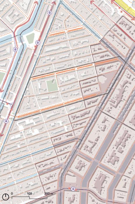




408 490 180 MOBILITY Bus stop Surface Parking Shared cars store Shared cars private Tram stop BUILT ENVIRONMENT Retail Frontage function Tree Renovation street Catering Education Offices Business 1. 2. 3. nnA e Frank mus e mu Noorderkerk
ENERGY
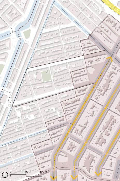


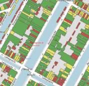


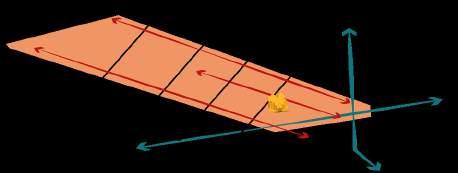

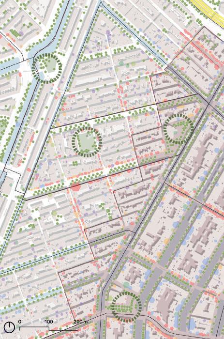
Mobility: Limiting city streets, Restricting surface parking , Promote Sustainable Modes of Transportation & Reclaiming streets from cars.


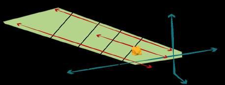


Built Environment: Promoting quality flora & fauna, connecting landscapes, Improving social infrastructure and uplifting heritage value.

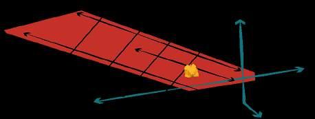
Energy: Promoting sustainable mode of energy generation, Increasing sharing within the community, Resillient underground Infrastructure.
Good Solar energy generating rooftops Average Poor Hot water temp.
Noordekerk Neighbourhood
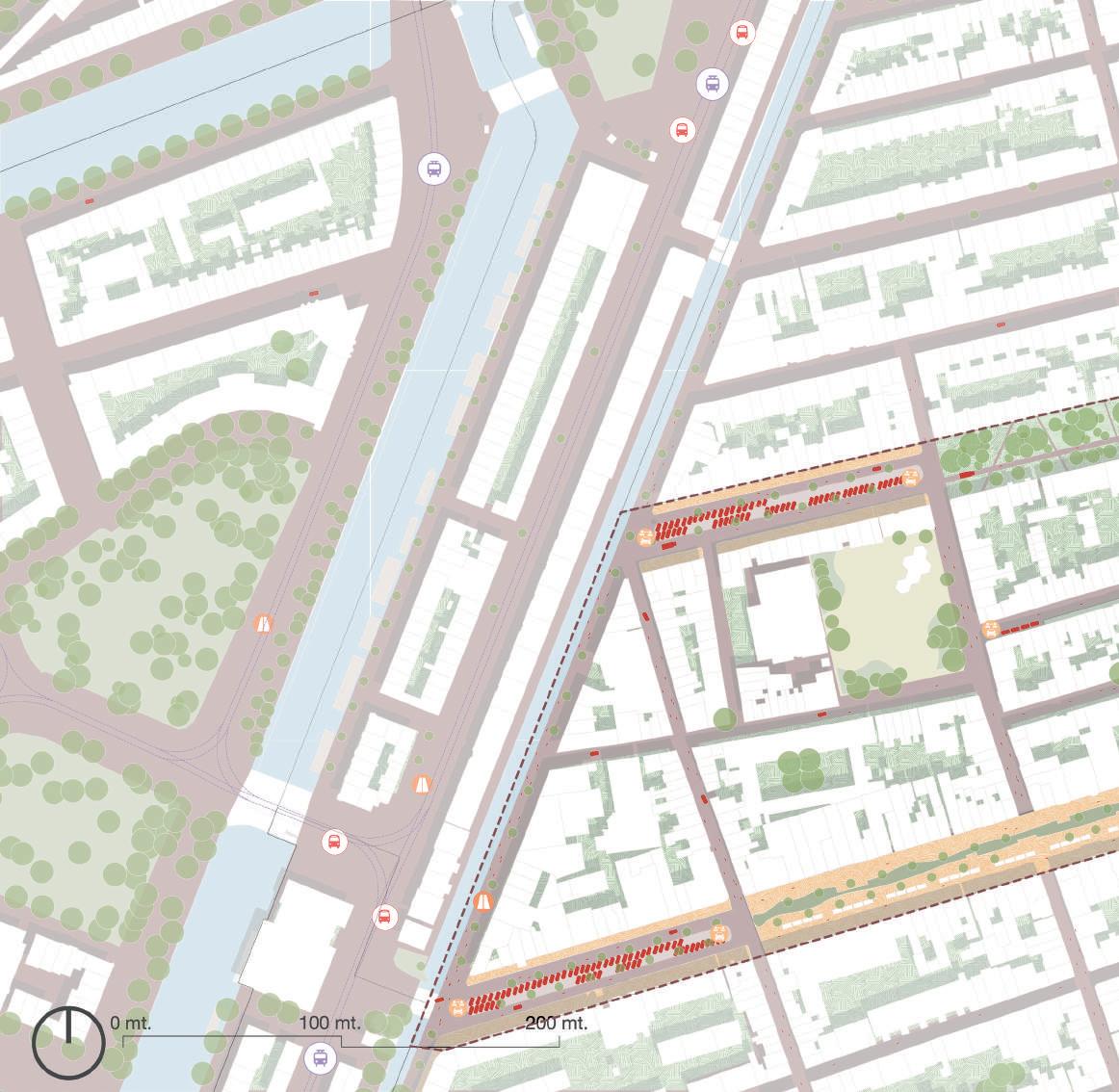
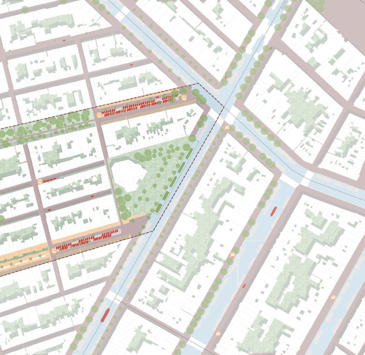
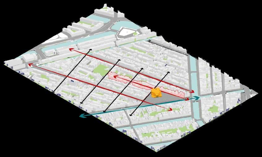
The project commences with the planned renovation of Leidenstraat in 2026, a pivotal moment for the community. Underground infrastructure upgrades ensure future-proofing with fiber and electric cables, linking the street to sustainable energy sources within the district. Embracing a car-free ethos, the neighborhood embraces various transportation sharing initiatives.
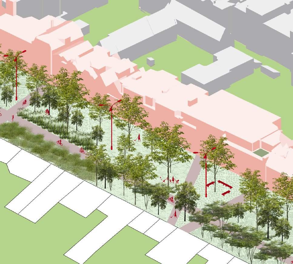
In the subsequent phase, Westerstraat transforms into Westermaarkt, a vibrant hub for community gatherings. Events like yoga day, in partnership with the Dancing Monkey Gym, and weekly second-hand clothing and food markets animate the space. Westermaarkt evolves into a bustling center for retail and communal activities.
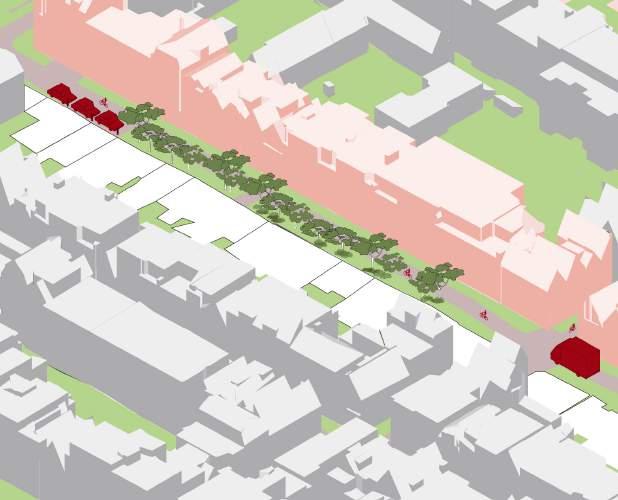
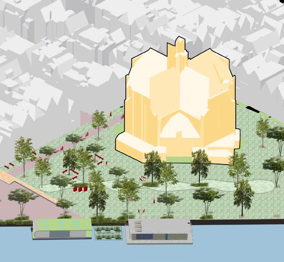
Meanwhile, residents of Leidengracht embark on a green initiative, expanding their community gardens into a charming pocket park. Now equipped with bicycle accessibility and logistics support, it serves as a verdant oasis for locals.
In a bid to enhance ecological and social engagement, the municipality takes action to remove surface parking near religious and cultural landmarks. This repurposed space fosters experimentation in ecological practices and community initiatives. Additionally, the integration of Noordemarkt with green houseboats, maintained by residents, adds to the neighborhood’s unique charm and sustainability efforts.
Westerstraat
WesterMarkt TheoThijssenSchool Gym
Coffeeshop/ Restaurants
Hidden Garden
Leidengracht
Leidenstraat
Lijnbaansgracht Marnixkade
1 2 2
Brouwersgracht
Palmdwarsstraat


Boomstraat
Westerstraat
Noorderkerk Noordmarkt


Prinsengracht

Keizersgracht
NGO
3
Albert Heijn
Leidengracht Leidenstraat





1.
VISUALS

2.
2. VISUALS
3.
Phasing strategy Learnings
Conclusion
4.
1 3 5 2 2 2026 2030 2030 2035 2040
PHASING STRATEGY
In conclusion, the street renovation project in Amsterdam’s center embodies a multifaceted approach, addressing both immediate needs and long-term sustainability goals. While temporary inconveniences may accompany the construction phase, this endeavor represents an unparalleled opportunity to pave the way towards a carbon-neutral future.
By integrating green infrastructure, such as tree-lined boulevards and energy-efficient lighting, the city not only enhances its aesthetic appeal but also takes significant strides towards reducing its carbon footprint. Moreover, the emphasis on pedestrian-friendly spaces and improved public transportation infrastructure encourages sustainable modes of travel, further contributing to Amsterdam’s journey towards carbon neutrality.
Through collaborative efforts and community engagement, the renovation project demonstrates Amsterdam’s commitment to building a more resilient and environmentally conscious urban environment. As the city center undergoes transformation, it sets a powerful example for sustainable urban development, inspiring cities worldwide to prioritize carbon neutrality in their own revitalization efforts.
Author: Shivani Handa
Email: shivani.handa@rwth-aachen.de
Thank you for your time!


 Lending library
 Street Furniture
Festival decor Green terraces
Kids playing
Kids playing
Street Art Green facade
Interaction with water
Lending library
Lending library Street Furniture
Festival decor Green terraces
Kids playing
Kids playing
Street Art Green facade
Interaction with water


 1.
2.
1.
2.


