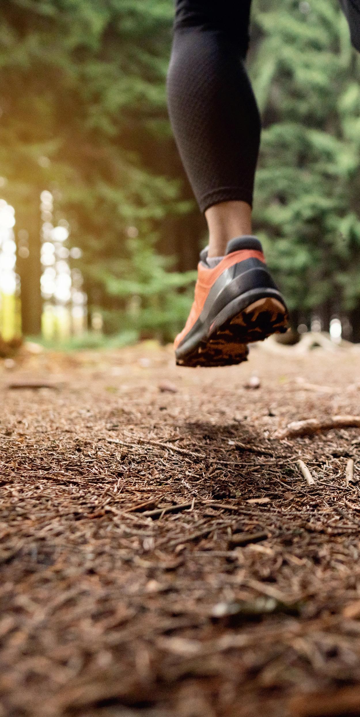
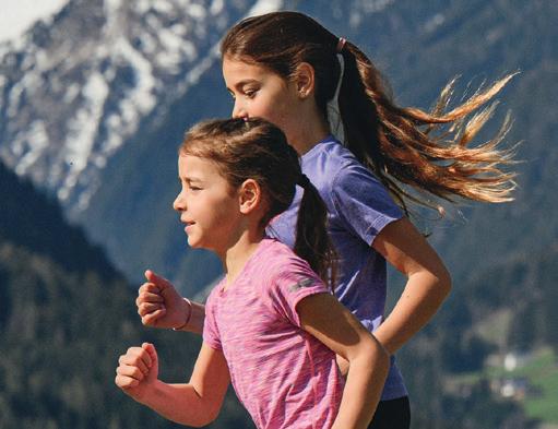
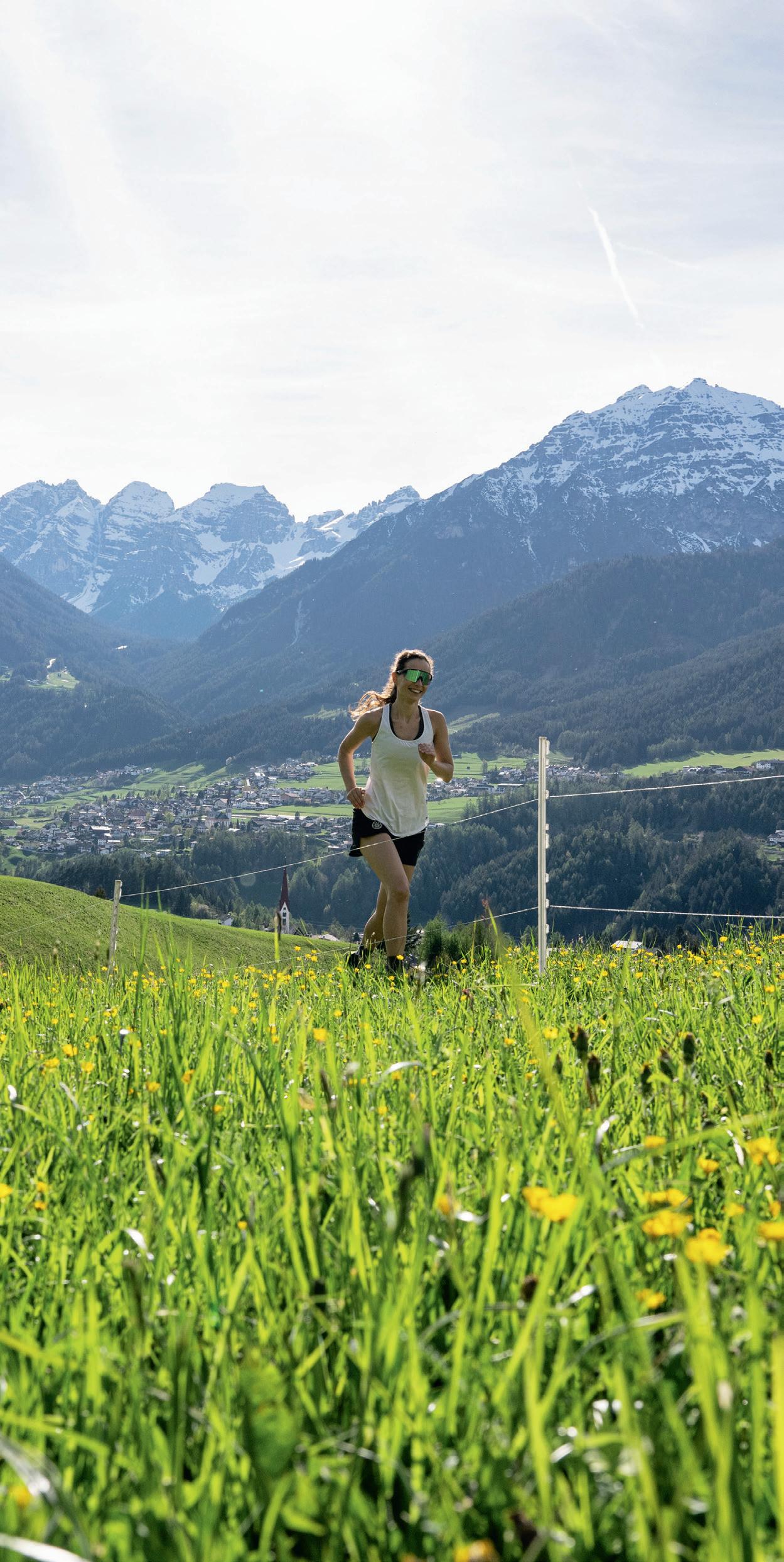
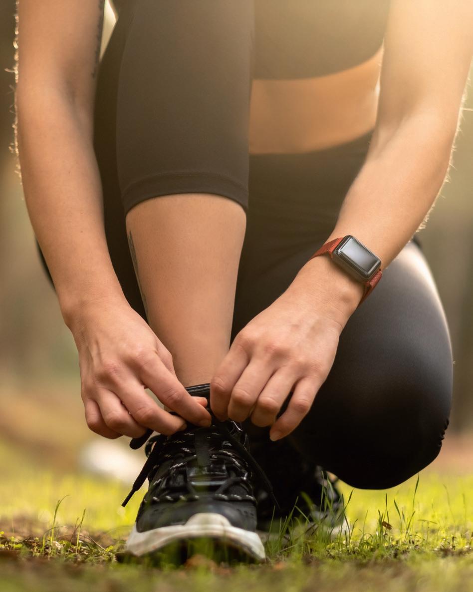
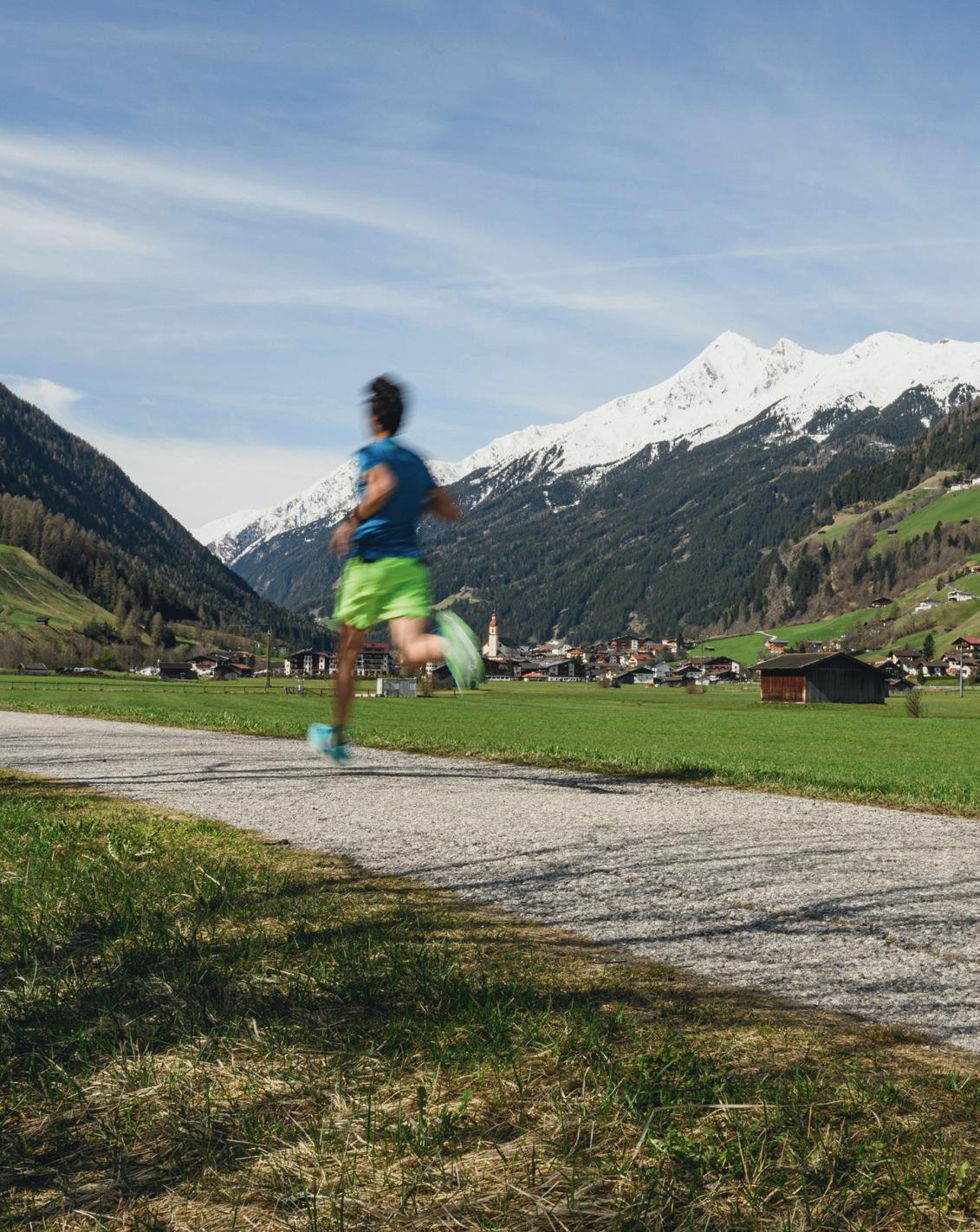
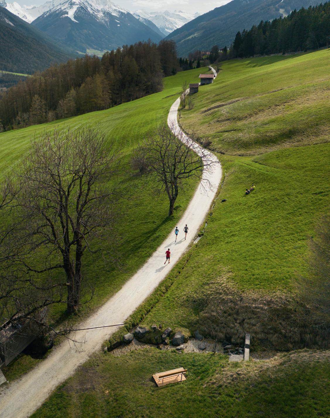
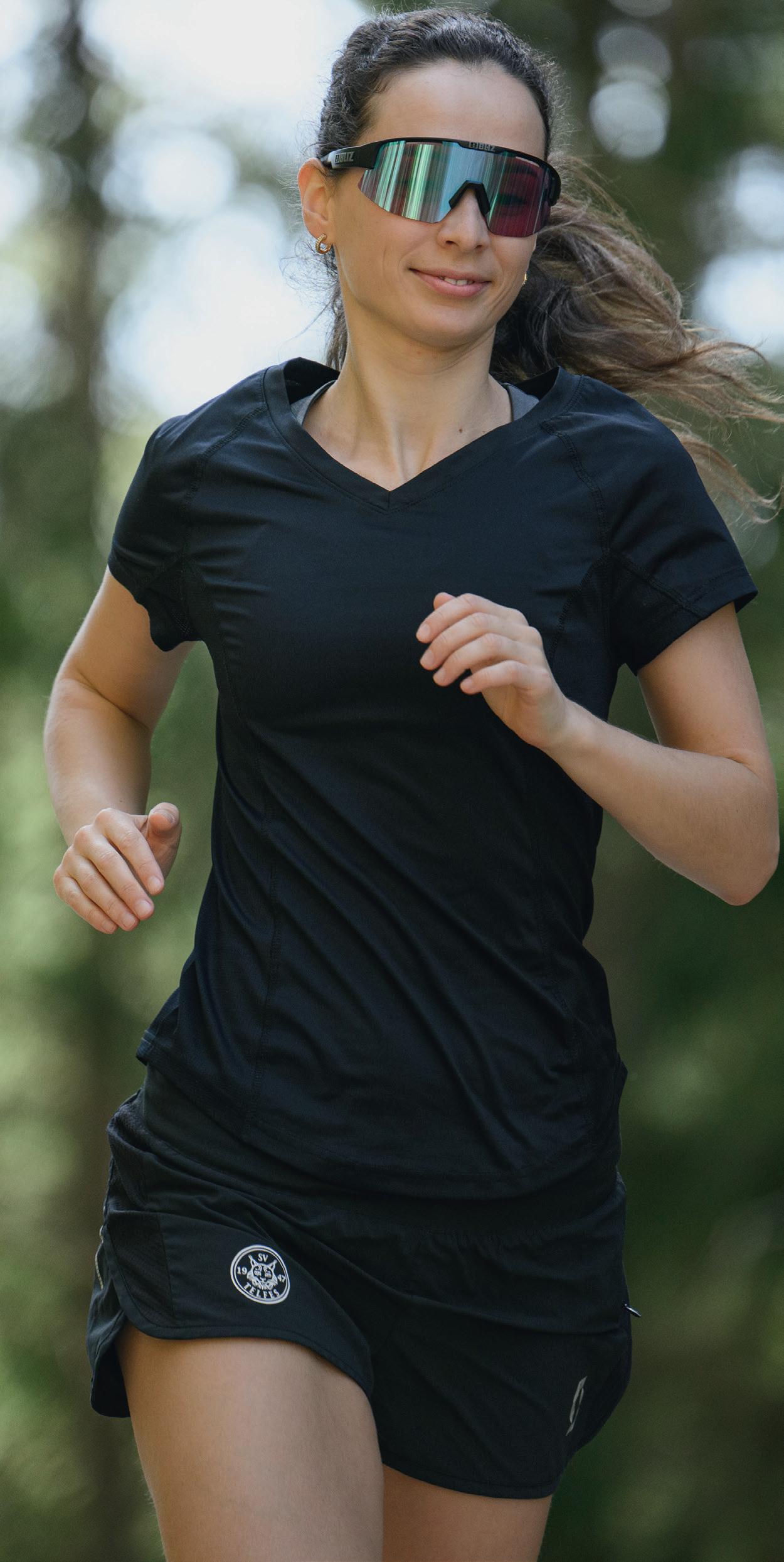
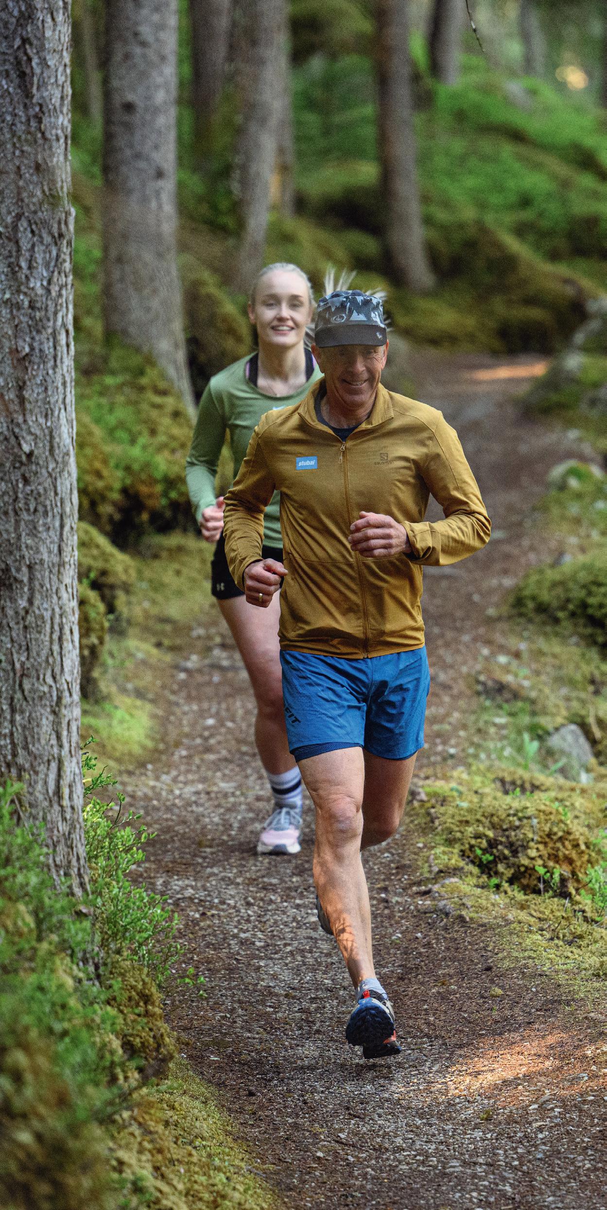
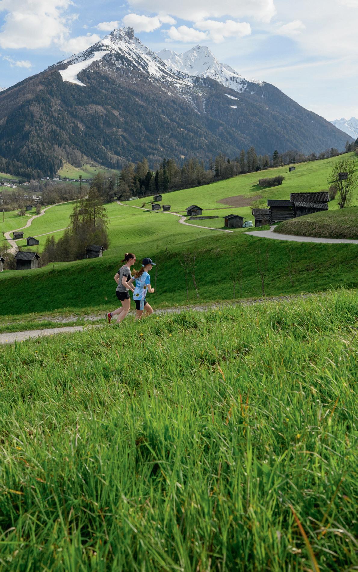
CASUAL, AMBITIOUS AND PROFESSIONALS RUN HERE.


EN
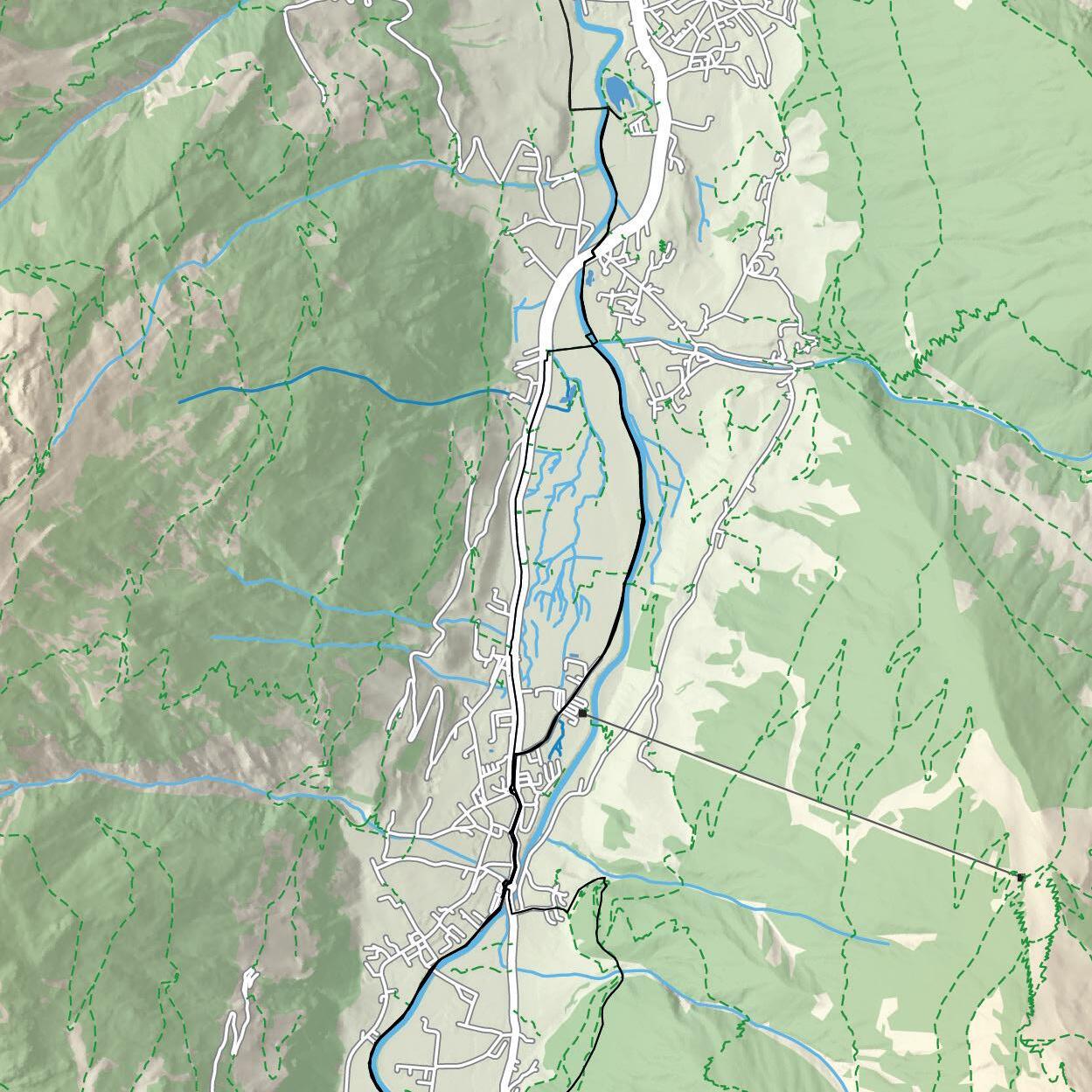
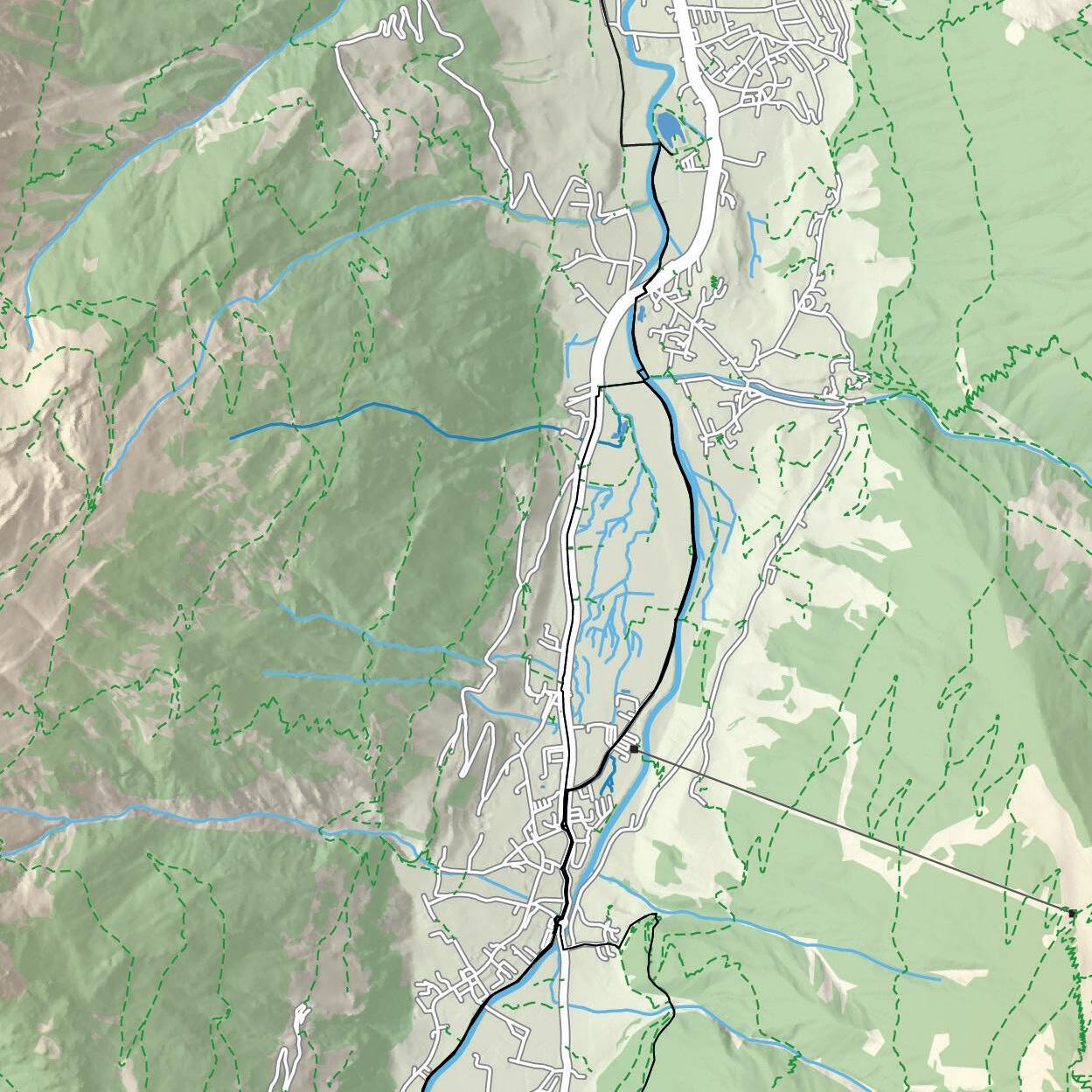
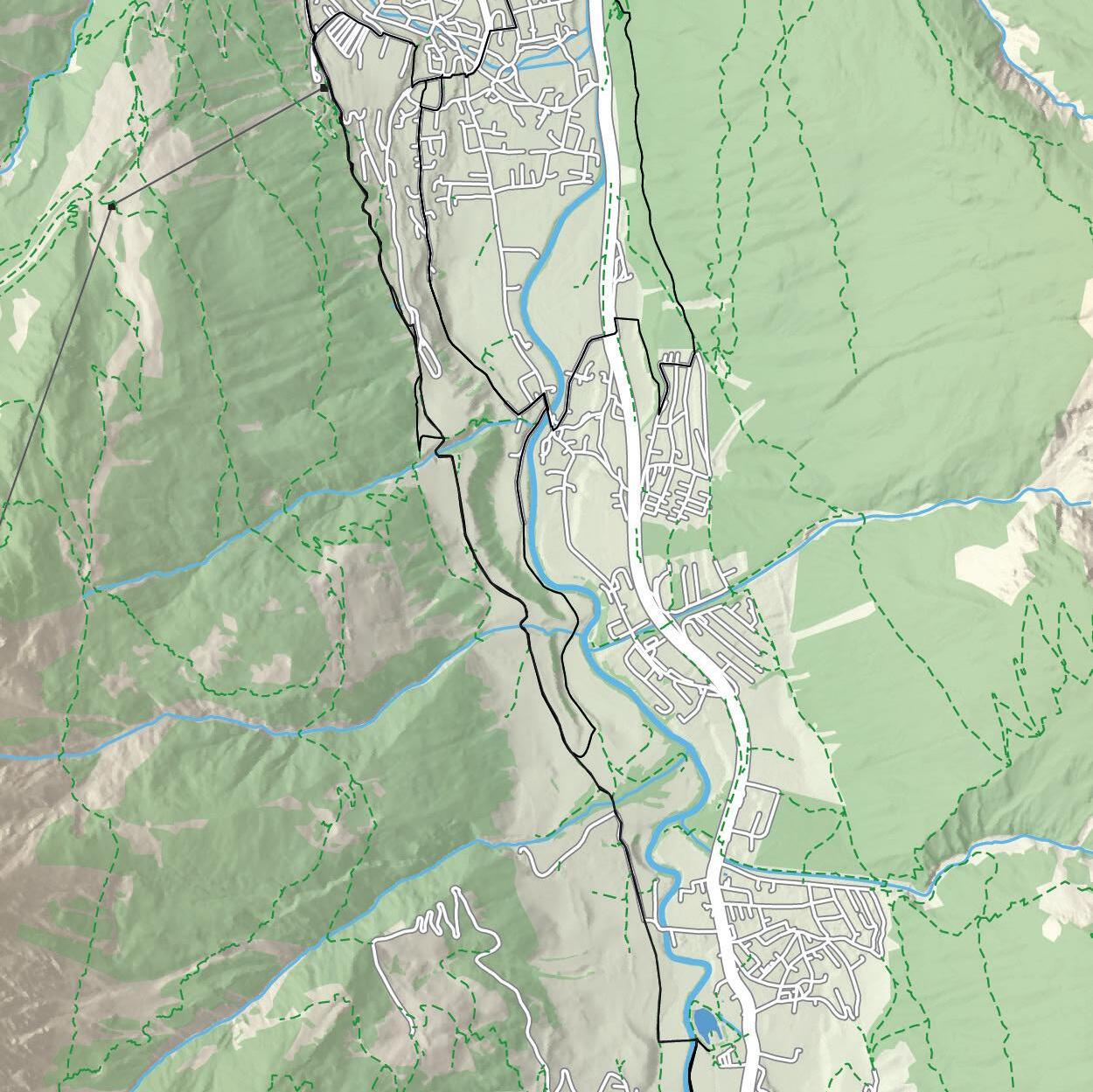
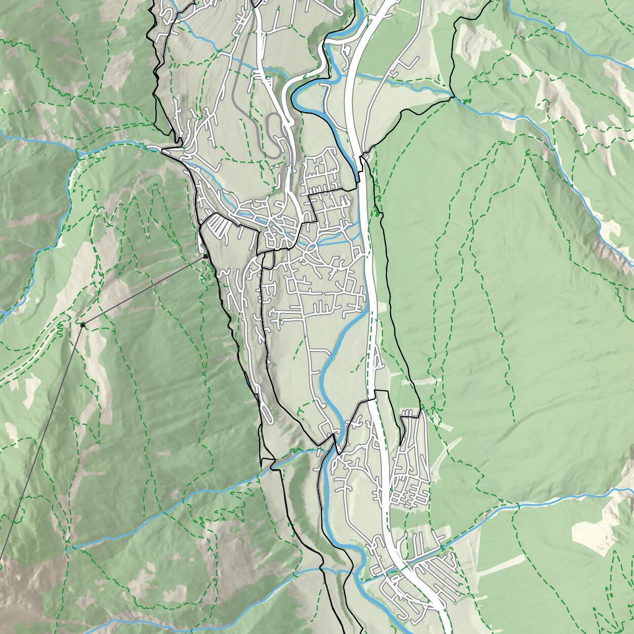
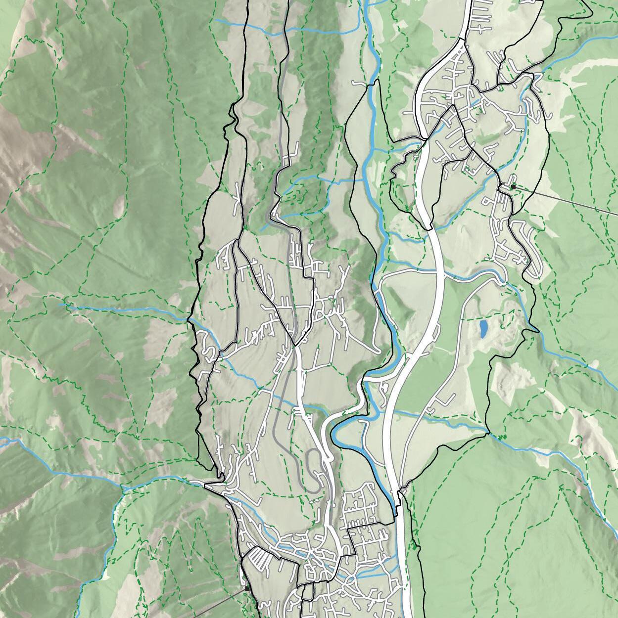
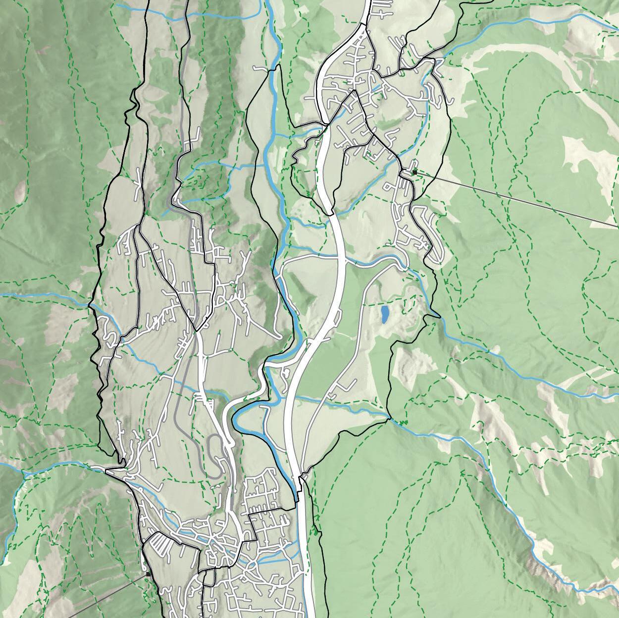
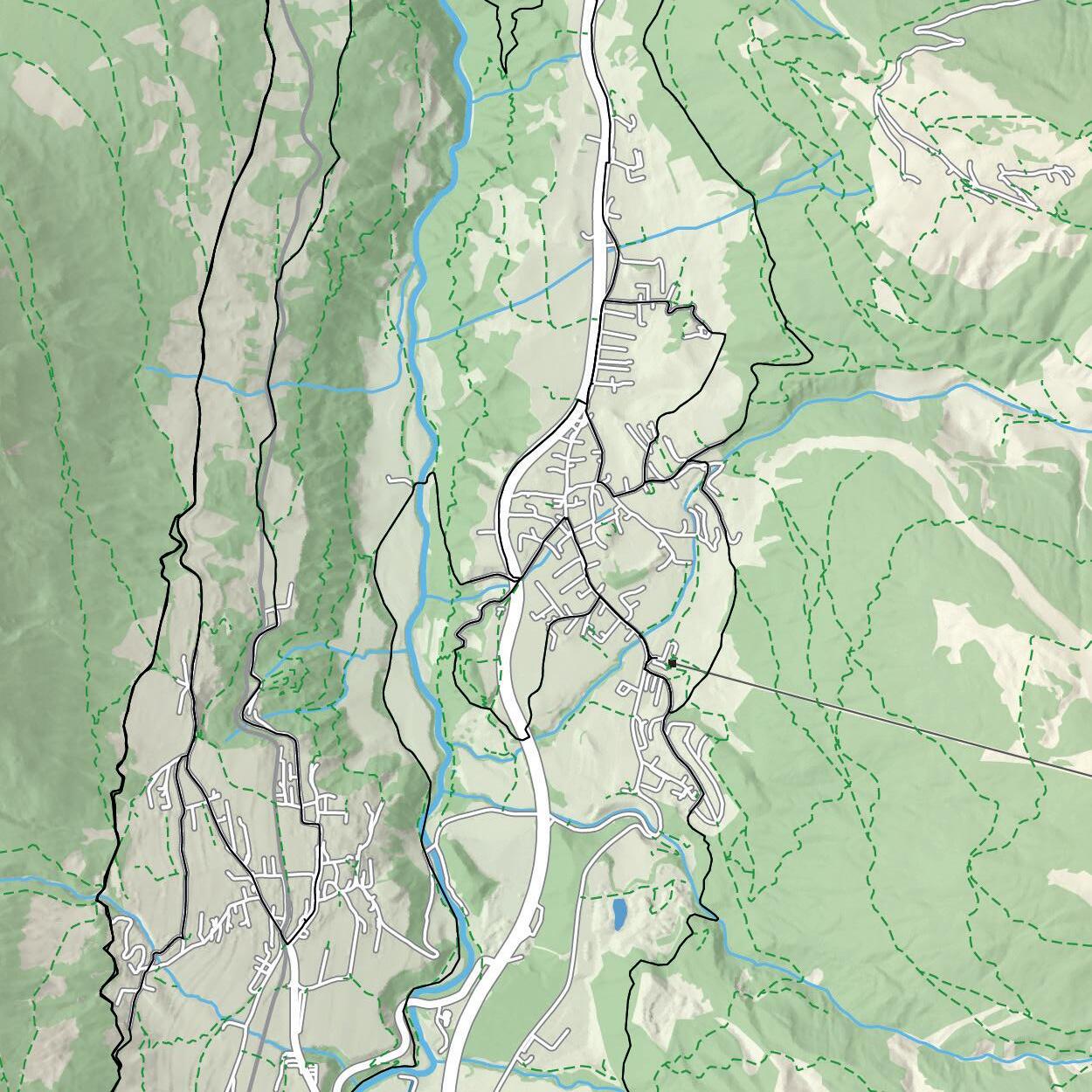
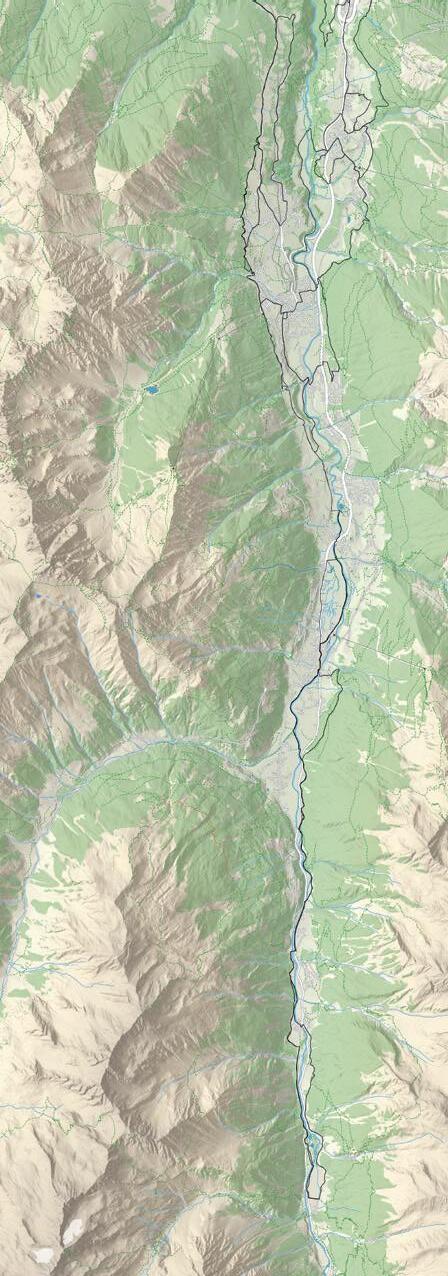
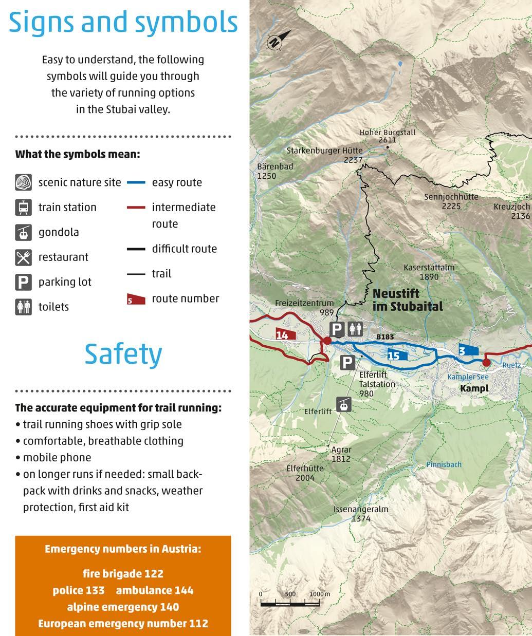
K20,32,68


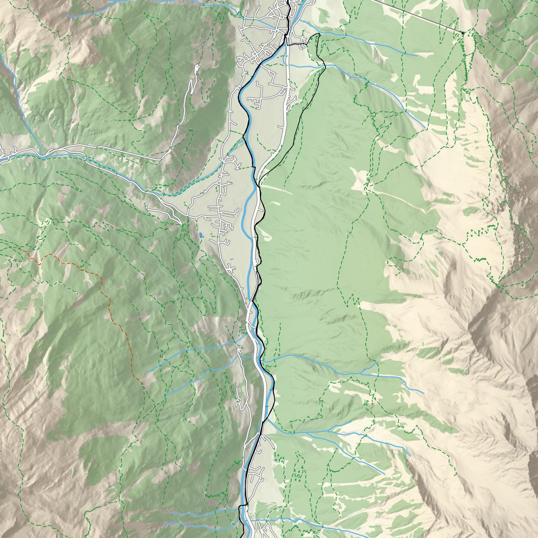
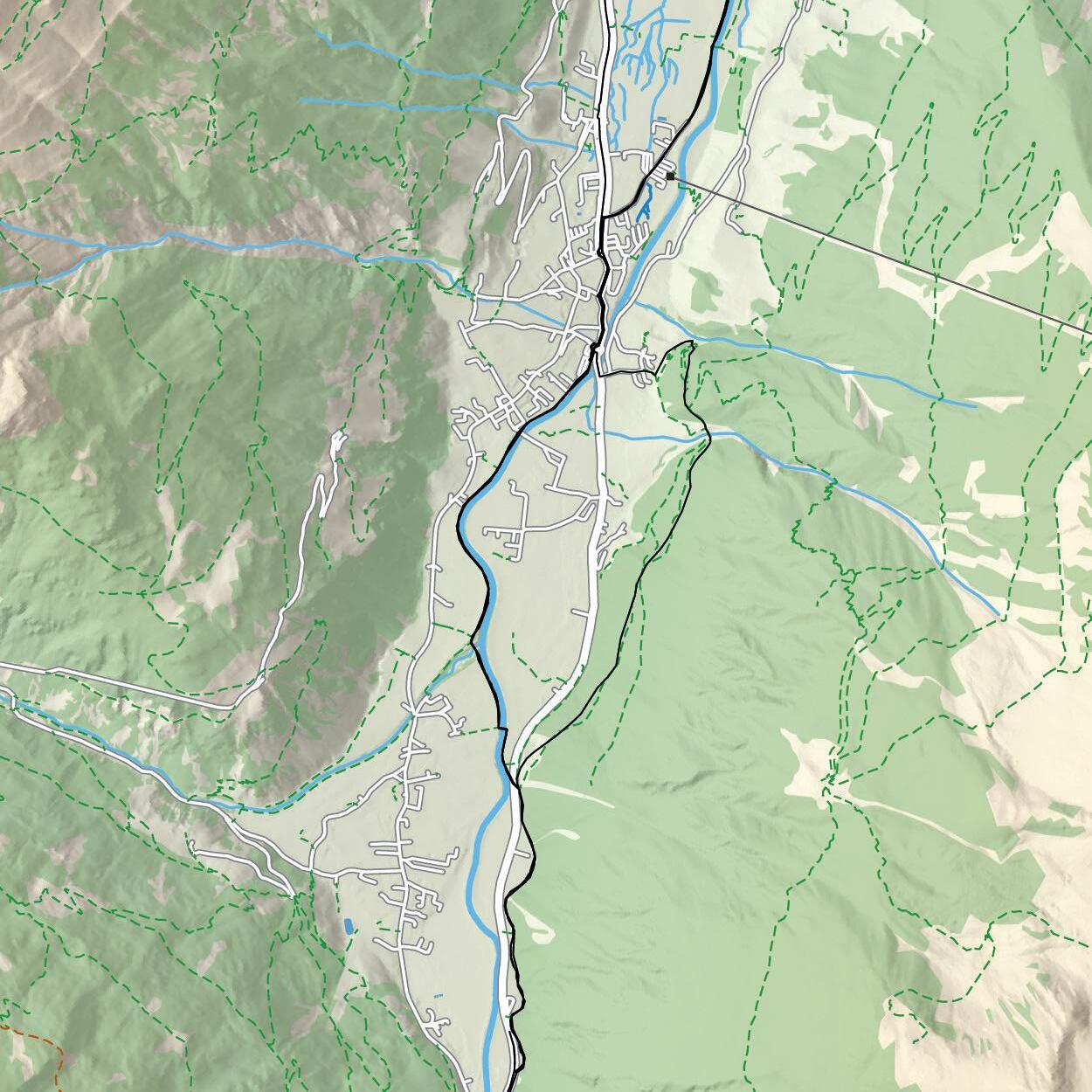
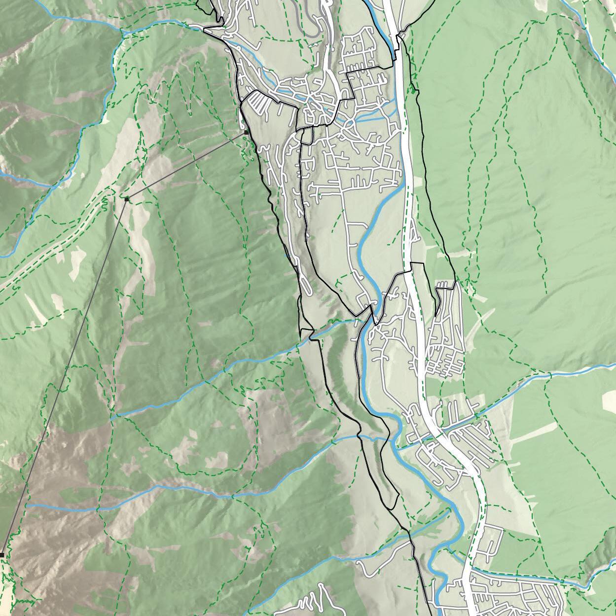
Falbesoner Nockalm 1663 Tschangelair Alm 1390 Bacherwandalm 1620 Oberhausalm 1350 Bänken Alm 1860 Grawa Alm 1530 Talstation Stubaier Gletscher 1697 Doadler Alm 1260 Waldcafe 1260 Klaus Äuele Marend Stüberl 1194 Gletscherstraße Falbeson Volderau 5 Habicht 3277 • Pinnisferner Schaufelspitzl Basslerjoch 2830 • Nördliche Rötenspitze 2975 • Ochsenkogl 3030 • Äußere Wetterspitze 3068 • Sulzenaukogel 2944 • Greitspitze 2784 • Pfandlspitze 3026 • Oberer Daunbichl 2455 • Nockwand 3092 • Gamsspitze 3097 • Schafspitze 2760 • Schrimmenkopf 2907 • Eisgrat: noch 7,5 km
Neue Regensburger Hütte 2286 Grawa Wasserfall Falbesoner Fall Mischbachwasserfall


Content
Running The valley
In the mood p. 8
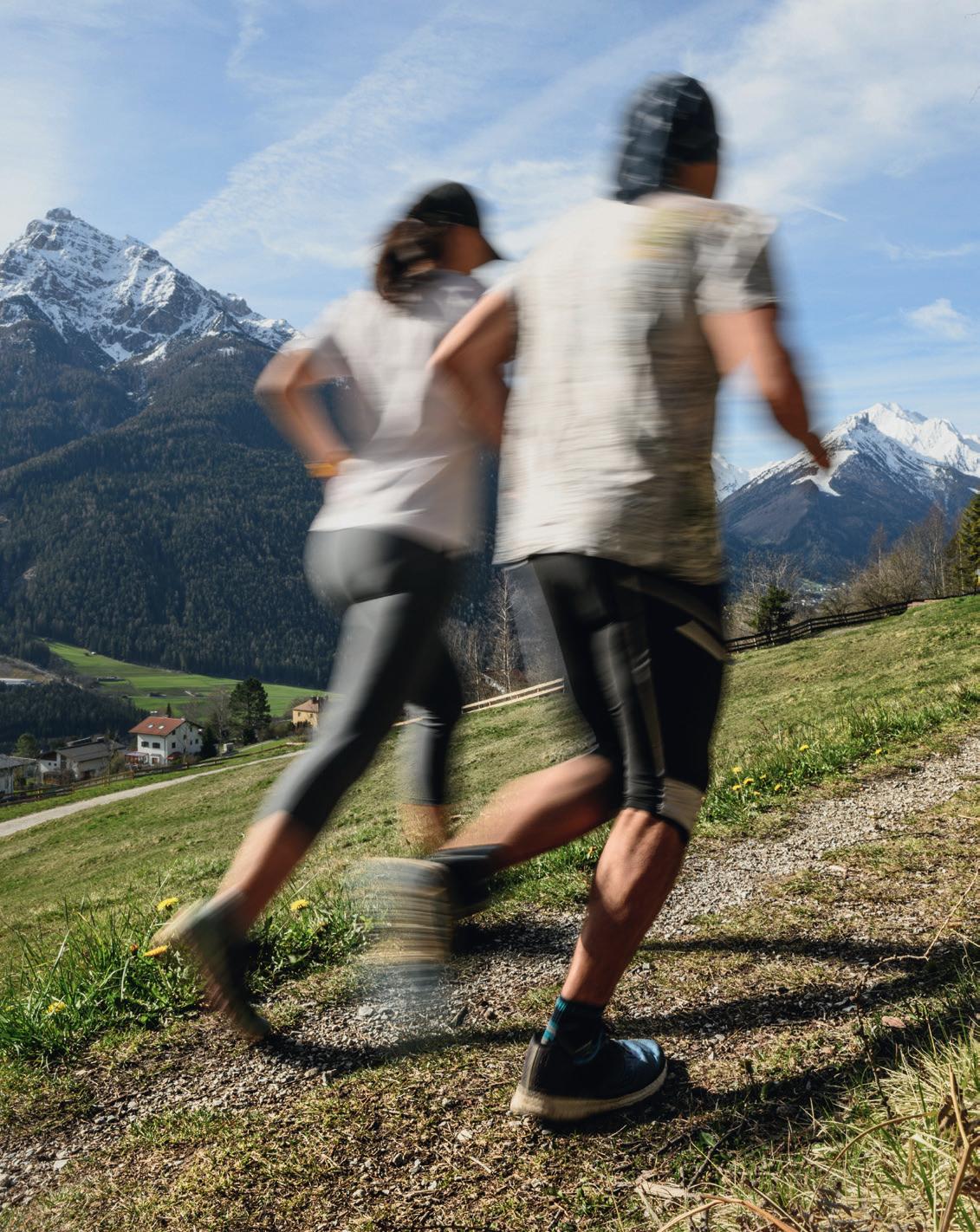
All sorts of runners will find suitable routes in the Stubai valley.
Running routes for all
For casual runners, the whole family and for runners with more endurance as well as for the ones with ambition.
Rear Stubai p. 17
Central Stubai p. 27
Front Stubai p. 39
Stubai Run p. 47 also doable in 5 stages: p.17/19/25/27/33
The trails Appendix
Trail running routes p. 52
There are special challenges and impressions waiting off the beaten track.
Stubai Vertical p. 54
Get some championship atmosphere and follow the path of professional athletes.
Stubai Ultra Trail p. 56
On paved, gravel, rocks and snow from the city to the eternal ice.
Sports shops p. 60
Recreation centers p. 60
Pools, lakes p. 61
Pharmacies, doctors p. 61
Imprint p. 62
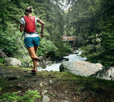
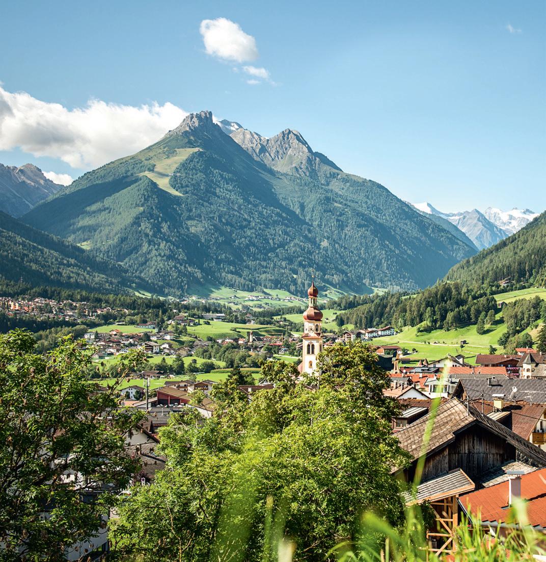
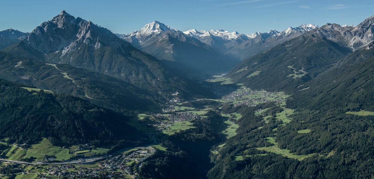
Running in the Stubai valley
Running in the Stubai valley
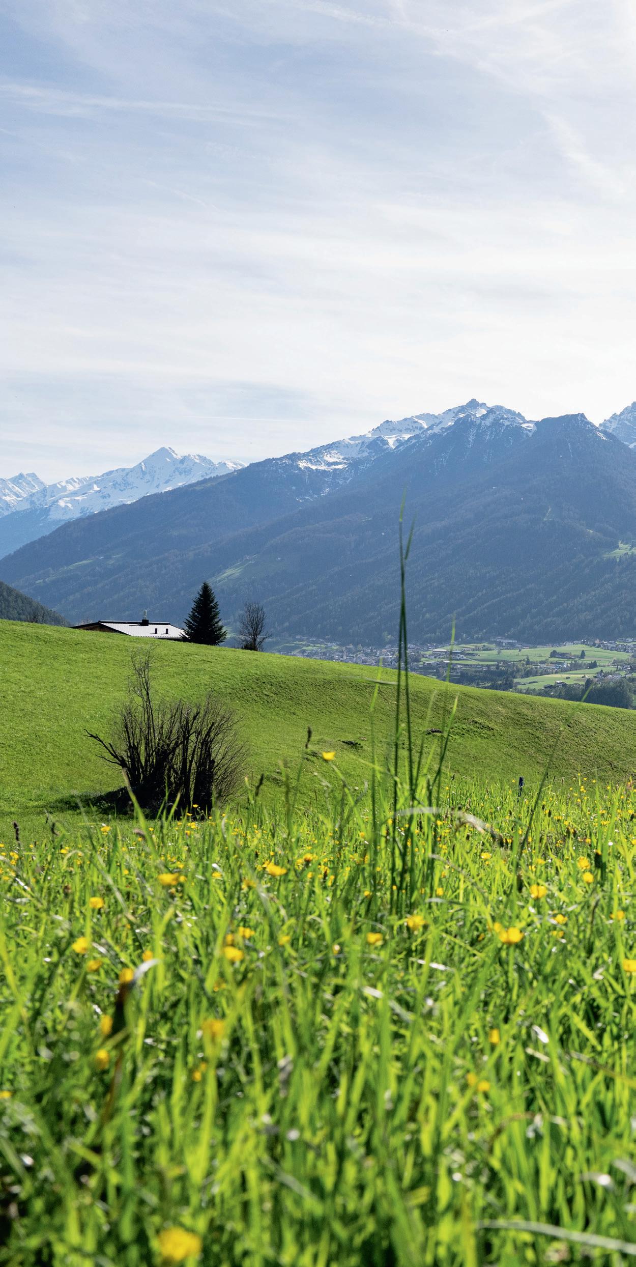
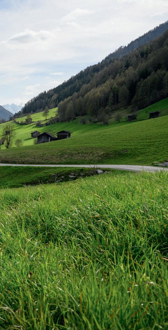
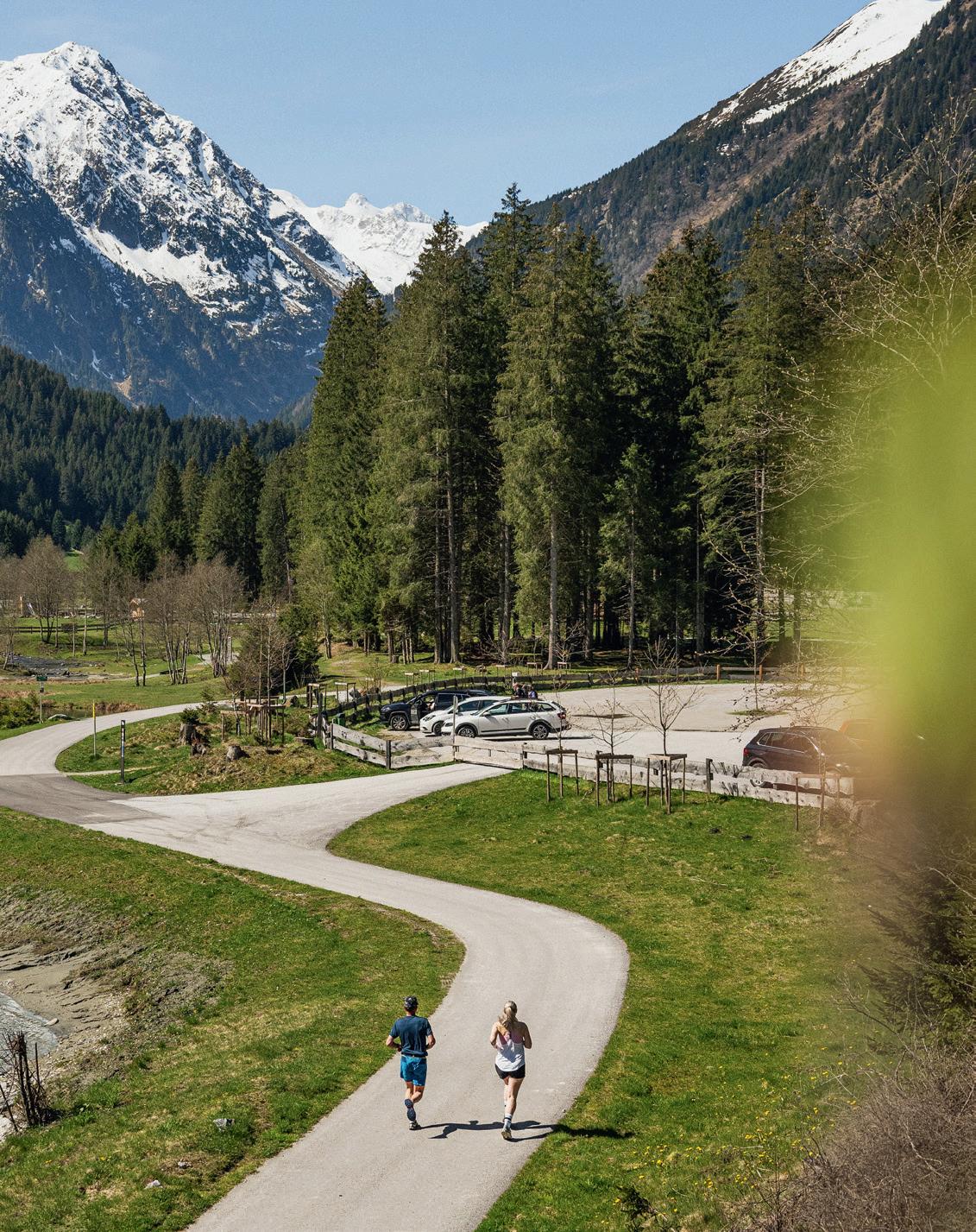
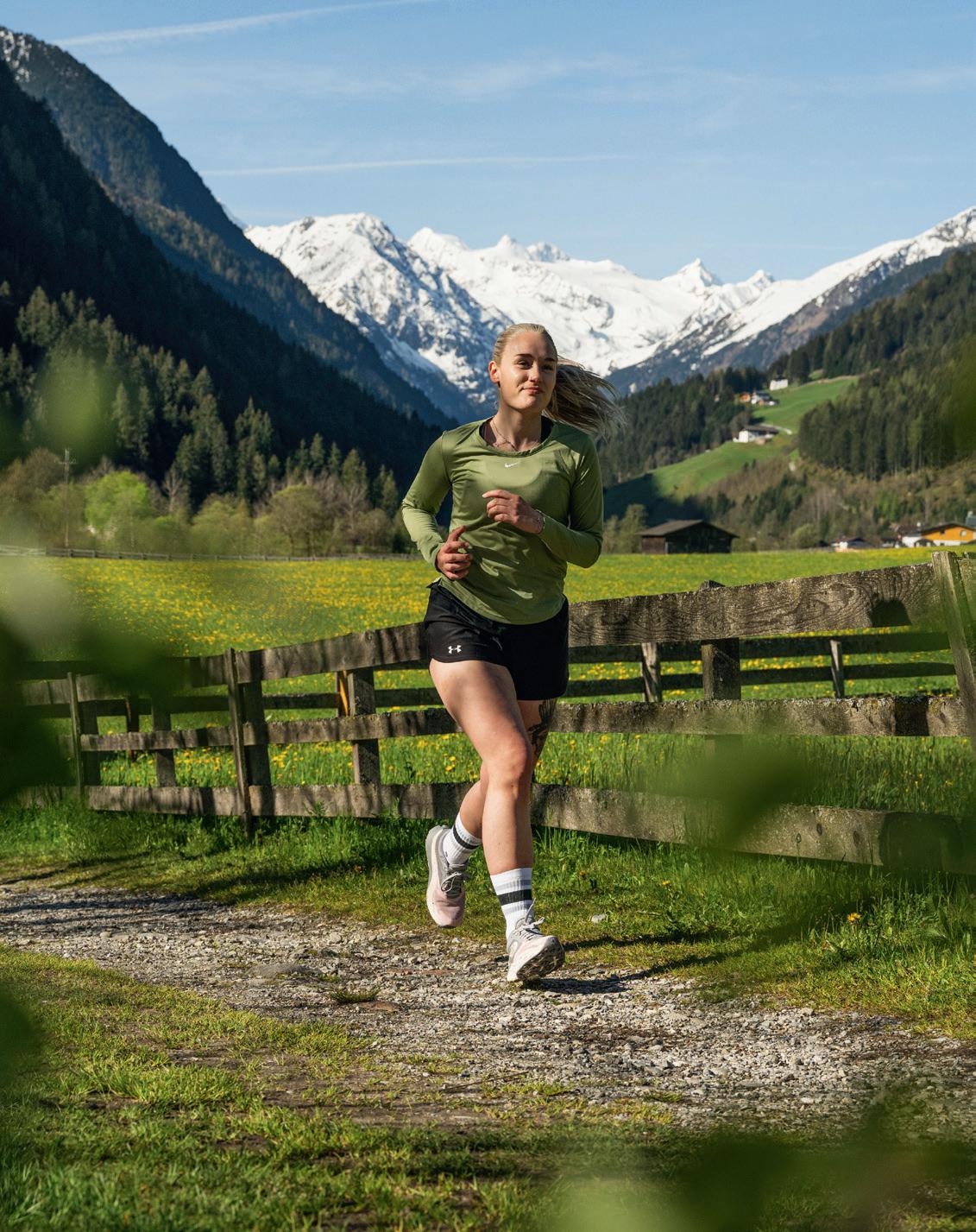
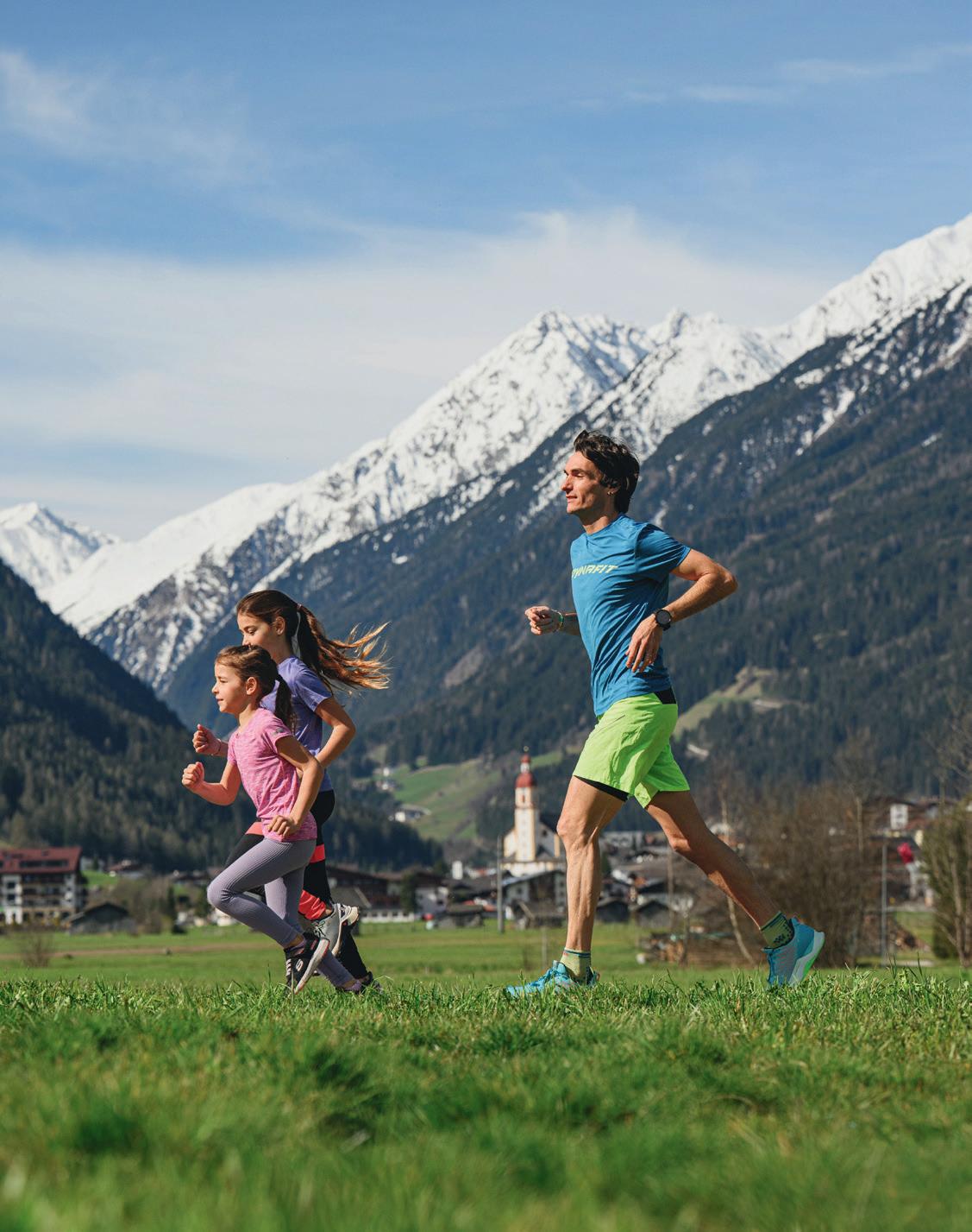
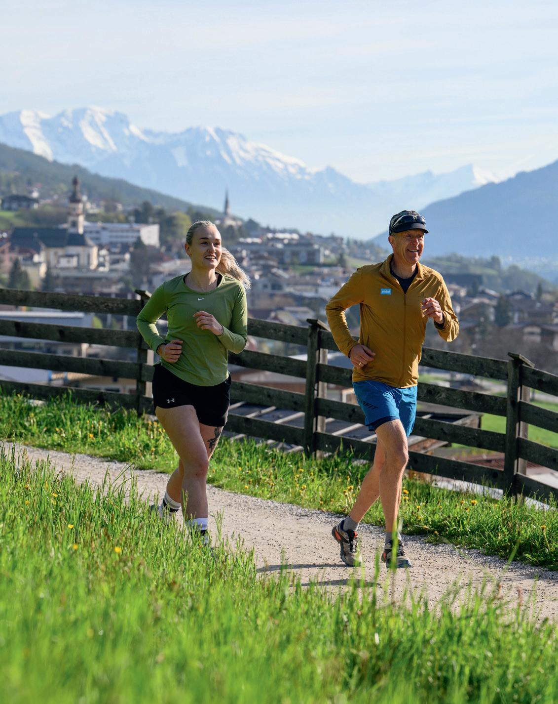
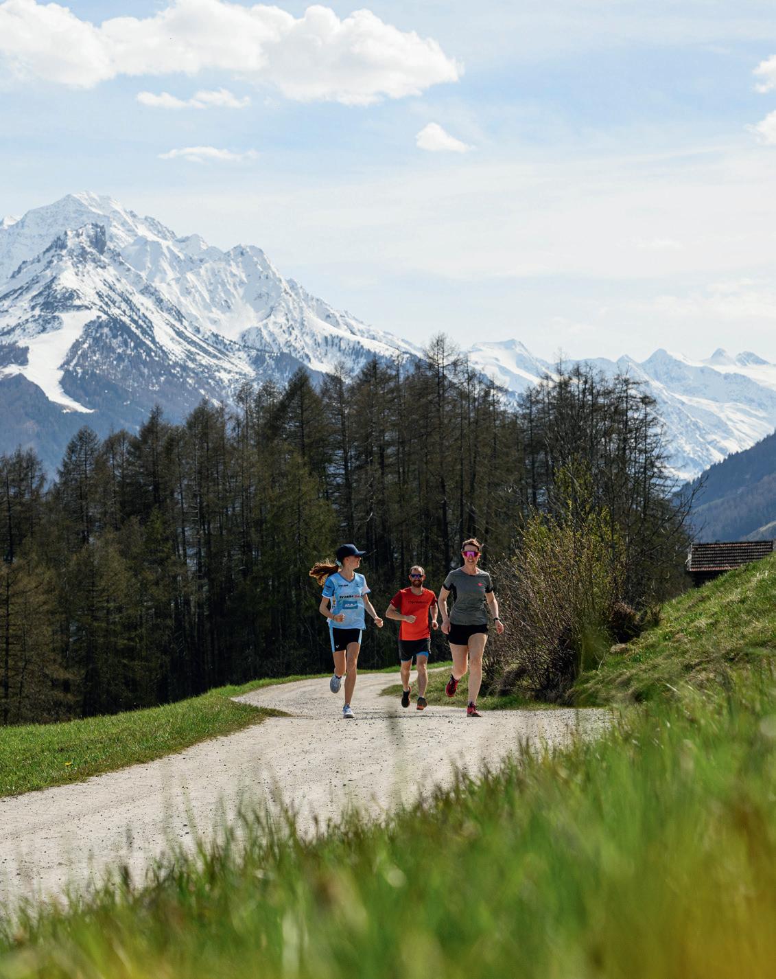
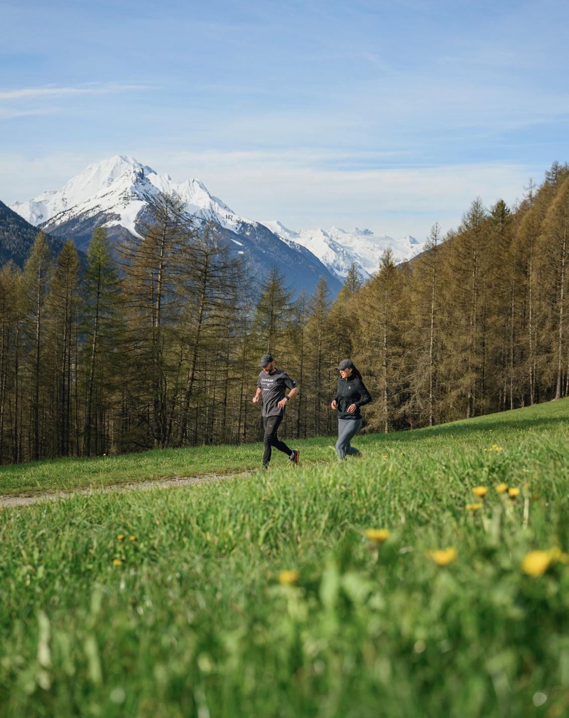
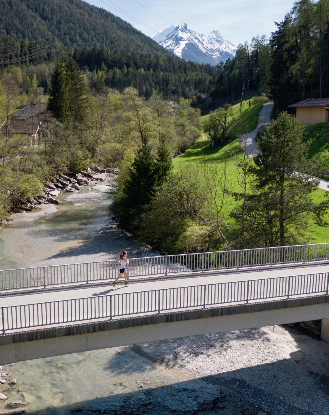
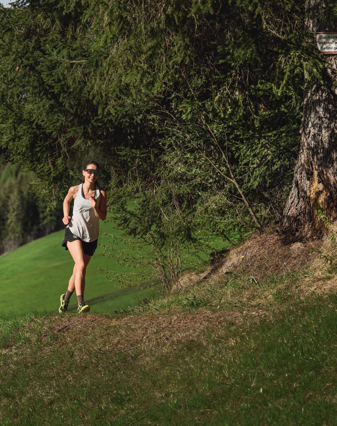
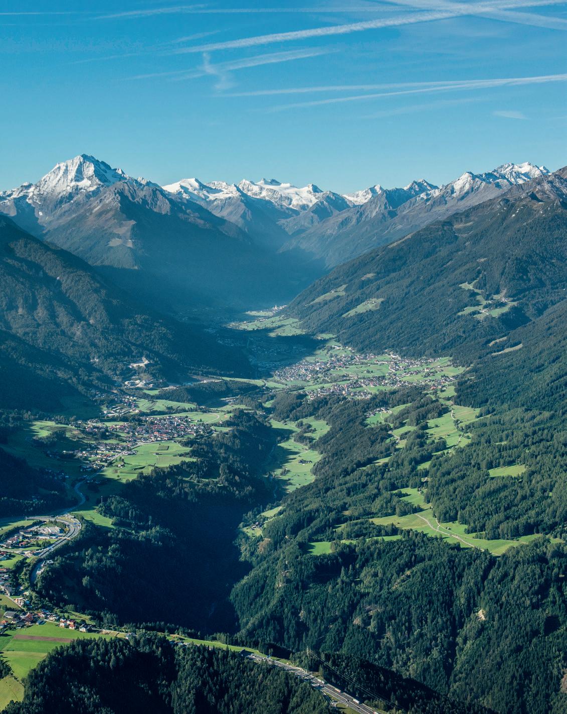
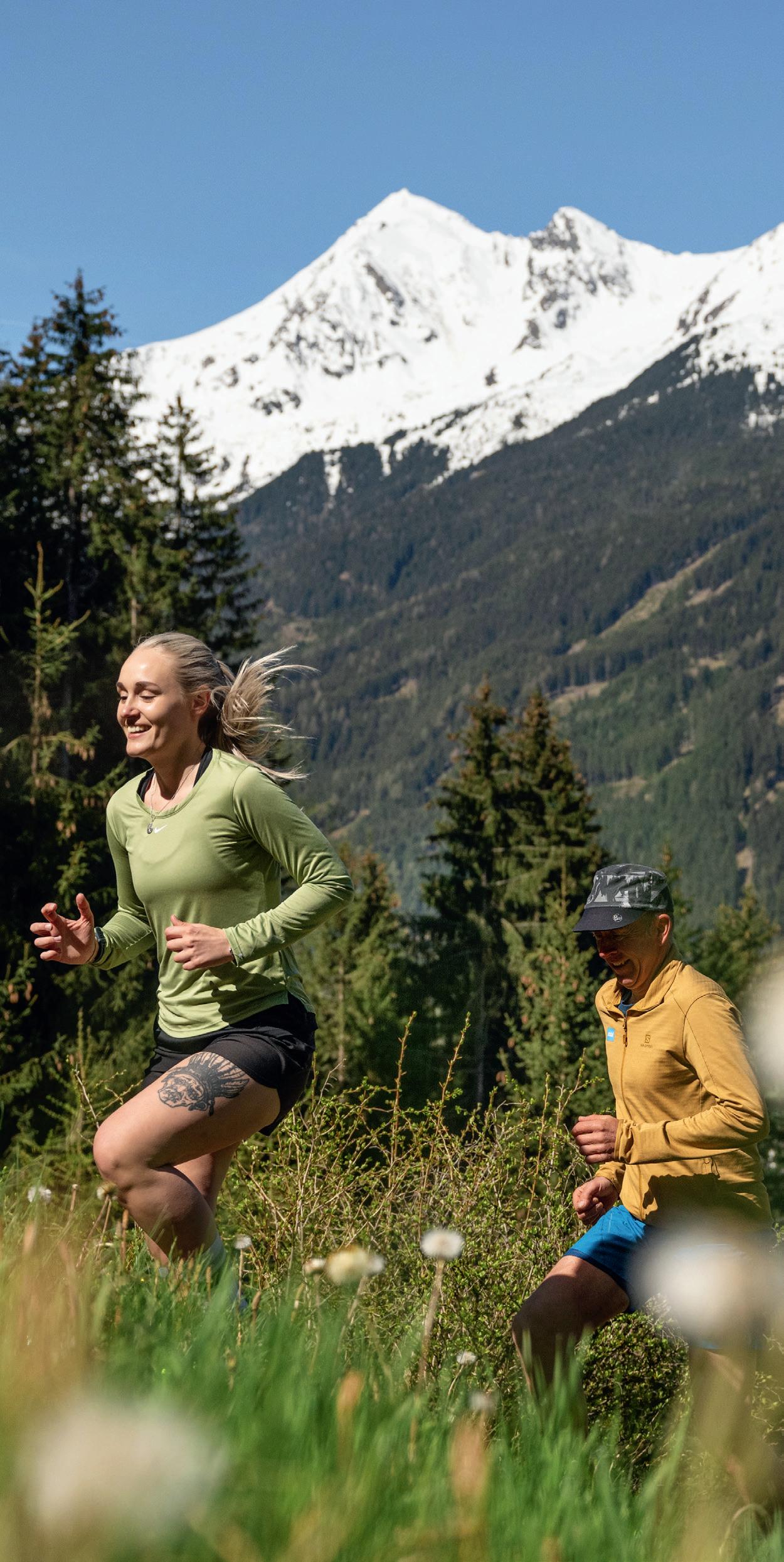
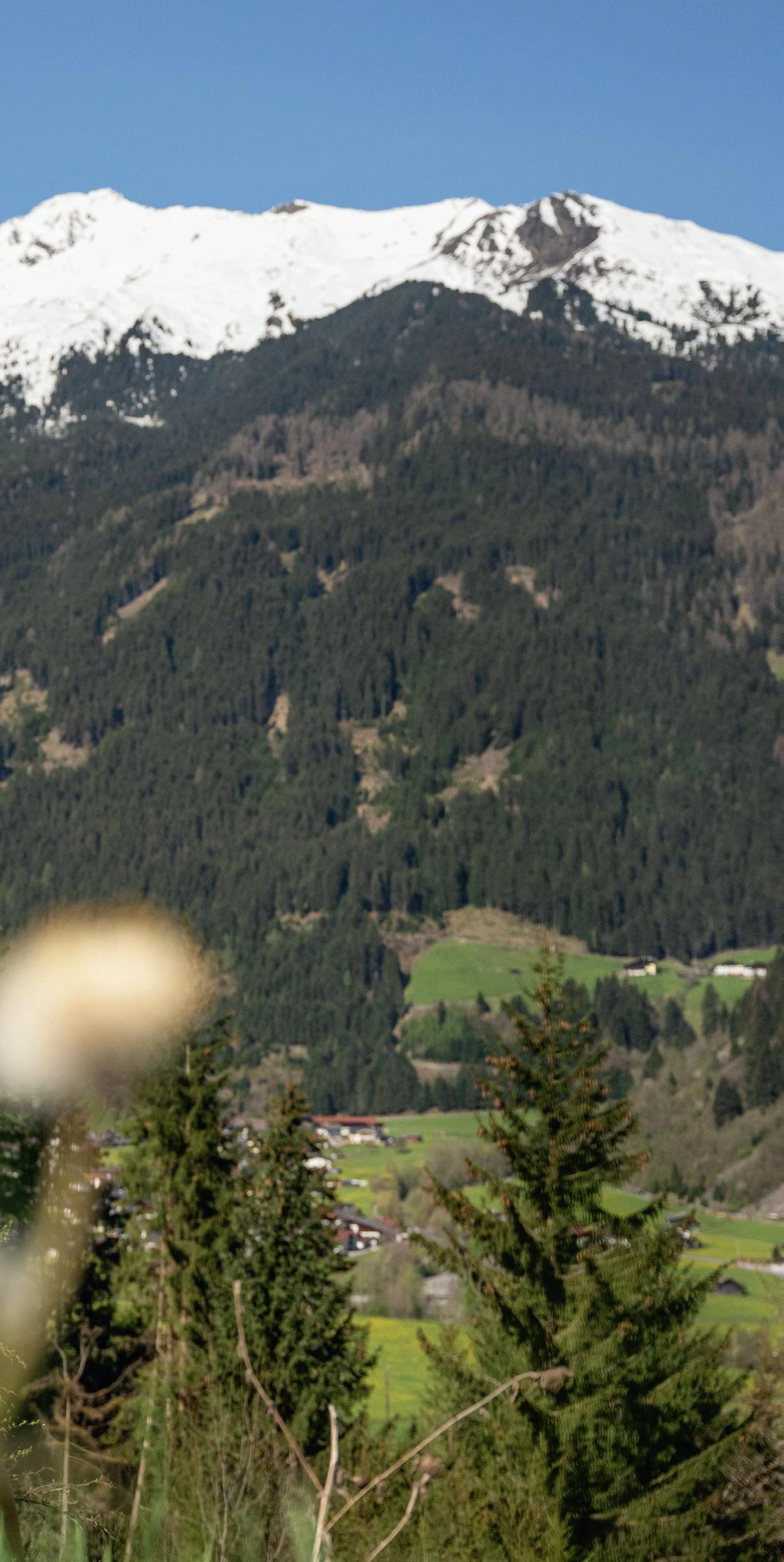
It doesn’t take much to discover the Stubai over and over again anew: a pair of running shoes and sports clothing – and you are ready to run to the most beautiful places of the valley, without any CO2 emission and in your own pace. Either flat on the valley floor, with some uphill over green meadows or looking for challenges on alpine tracks, the Stubai always provides a suitable route for you.
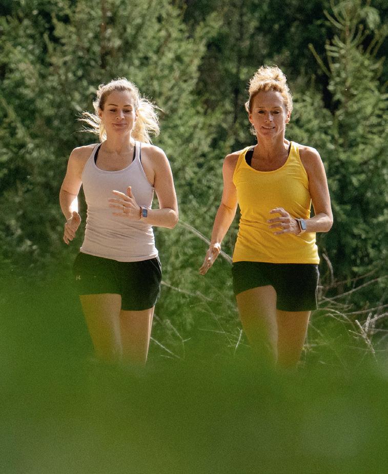
Ideal for beginners and families
In the Stubai you can easily combine short running units to scenic nature sites, adventure parks or recreational areas with your other holiday activities. That not only allows parents to do their daily sport but also let the little ones have their adventures, either coming along in a jogging stroller or on their bicycle. Besides, there are always busses to get back.
From enjoyable to challenging
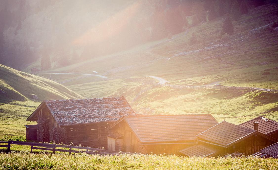
All together there are 16 routes from easy to difficult that are leading runners on paved and gravel roads through woods and over meadows to stunning natural and cultural sites as well as to huts with great views and to mountain lakes and waterfalls. The routes run mainly on the valley floor and are all marked with signs. There is also a route that goes through the whole region, along the valley floor and over sunny hills.
8
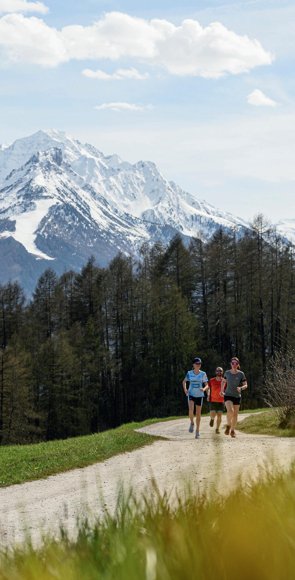
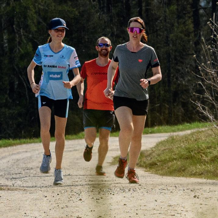
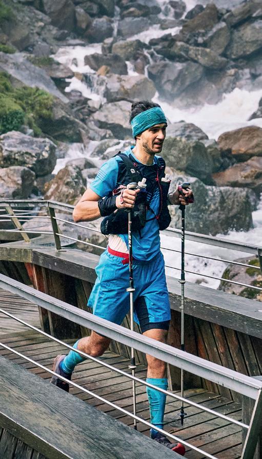
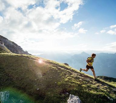
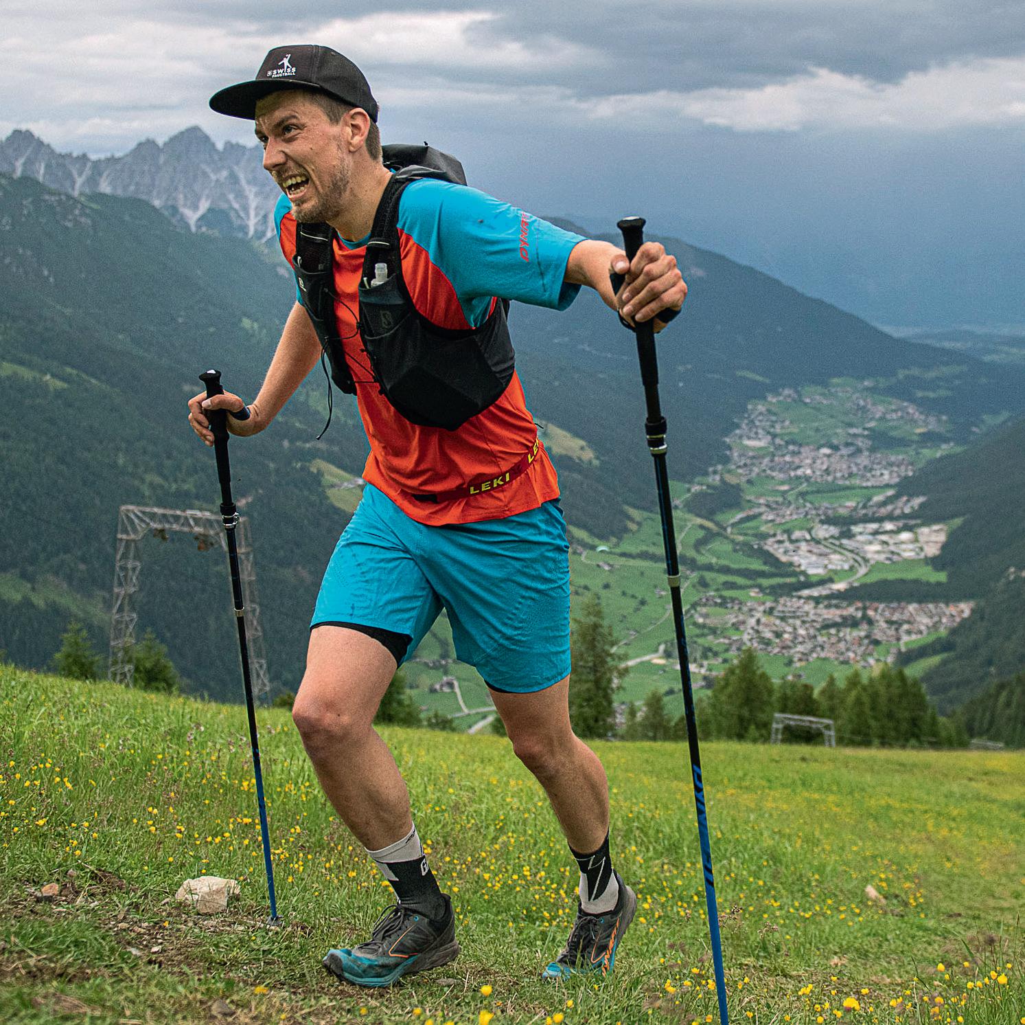
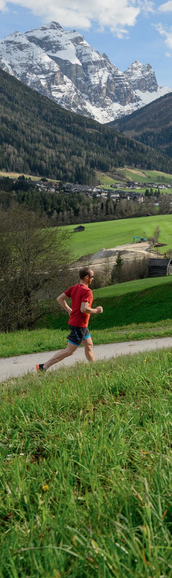
Runners with ambitions will find many new goals and challenges in the Stubai. Running events and their race tracks offer options to match with others and to push the limits.

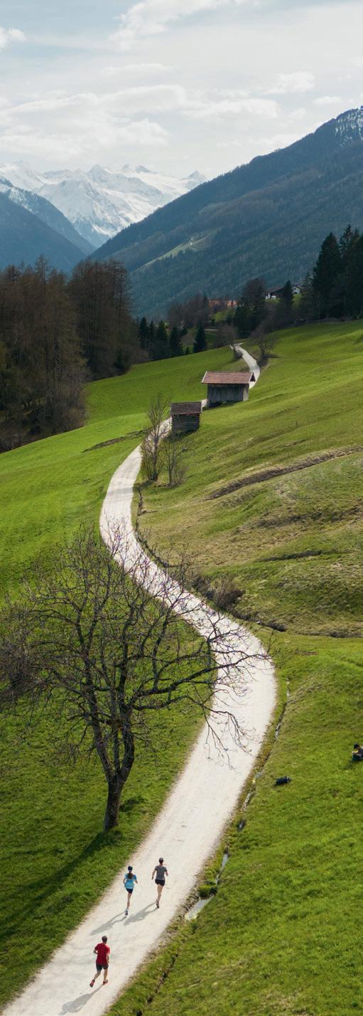
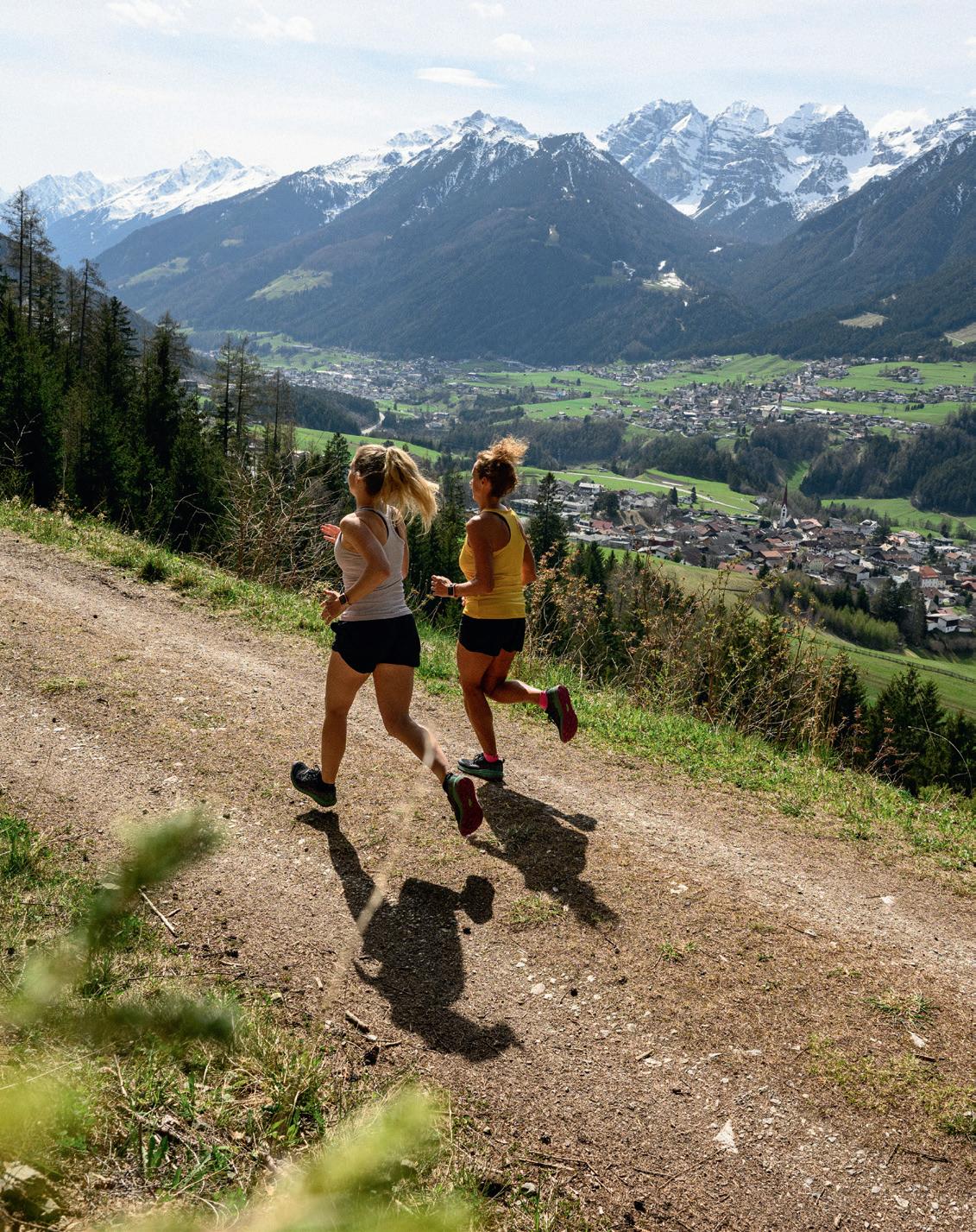
Above: Trail running routes in the Stubai provide even more variety and action, but they also demand concentration and coordination.
To the left: On the Stubai Run you can go through the whole valley, on more than 20 kilometers mainly flat in up to 5 stages.
11 In the mood
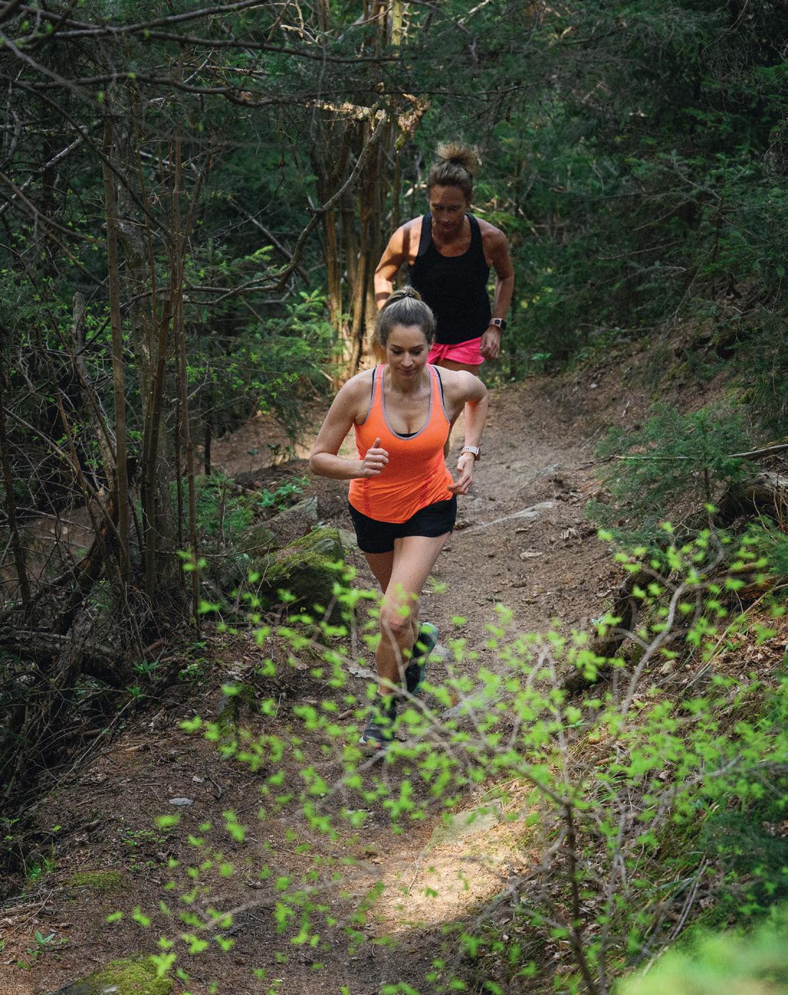
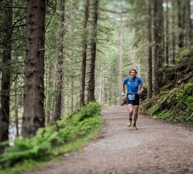
Apart from paved and gravel roads
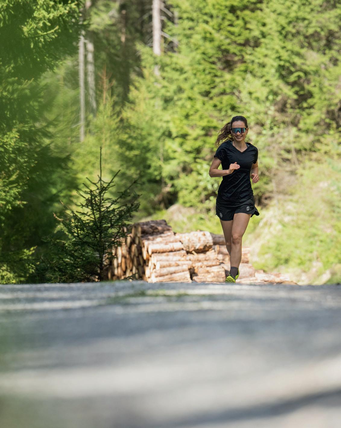
It is not only because of its alpine territory that the Stubai is predestinated for trail running. Runners who are looking for challenges over rough and smooth, will find a wide range of trails in the Stubai on which good shape and technique is required. Non the less, beginners to trail running can also have a taste of it on varied terrain, over steps, stones and roots.
Participate and imitate
Regularly, there are competitions like European or World championships in the Stubai, which bring the best athletes of the sport into the valley. Those competition approved routes are not only for professional runners, amateur runners with ambitions can also take part, train for a race here or just follow the footsteps of the top athletes.
At the Schlickeralmlauf run, for example, which is one of the most known mountain runs of the world, everyone can participate and compete in front of the dominant Kalkkögel mountain range. You can choose between a short run with 7.2 km starting at the middle station or a long run over 11.5 km and 1,117 meters of vertical height from the village center to the peak of the Kreuzjoch (2,109 m).
Furthermore, challenges on championship level can be found at the Stubai Ultra Trail run, which leads from the capital city of Innsbruck to the Stubai glacier, as well as with the Stubai Vertical run, a competition route of the World Mountain and Trail Running Championships.
12
When running in the Stubai, it is always worth to risk a view onto to stunning cultural and natural landscape and have a short break occasionally.
13 In the mood

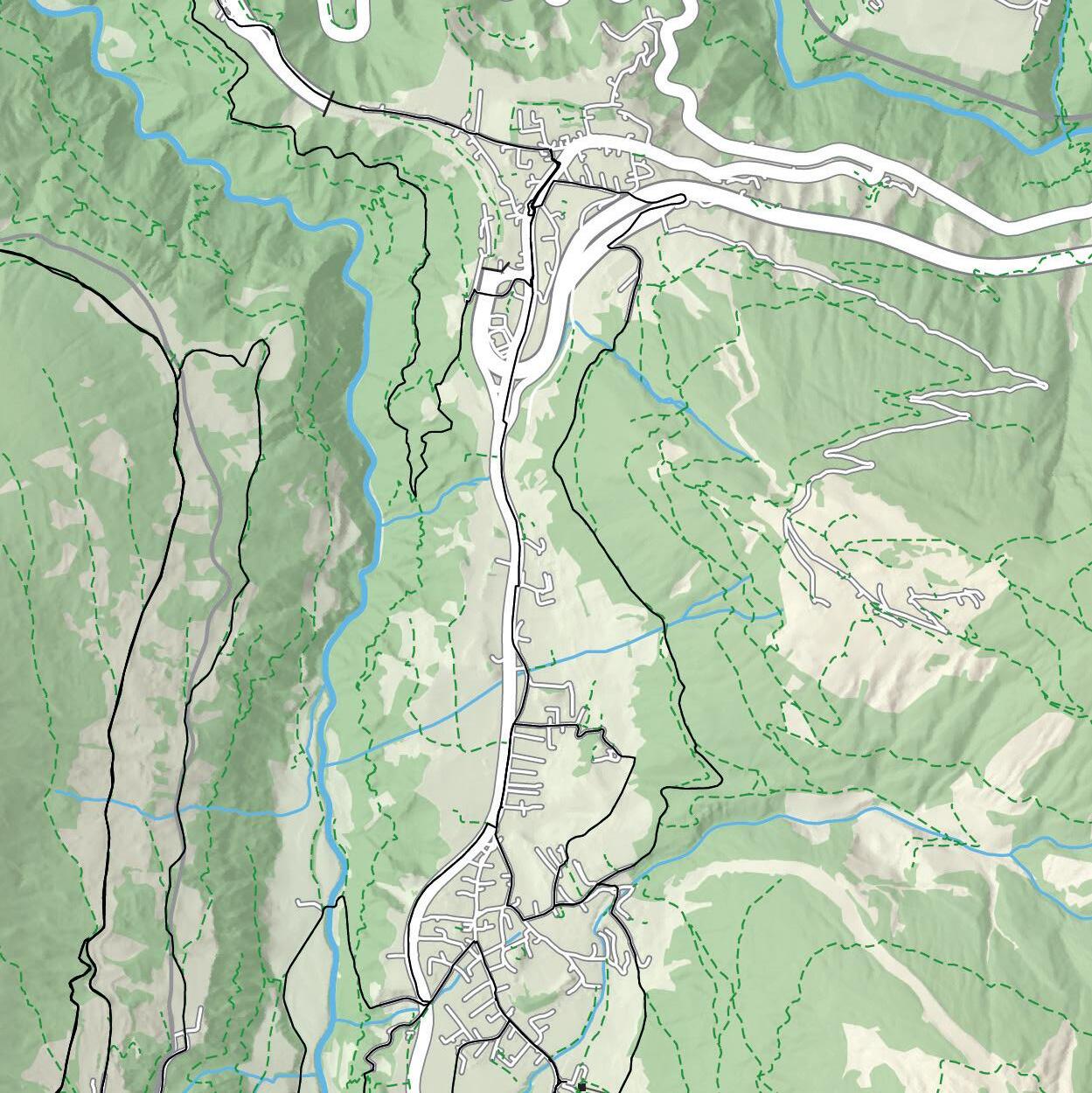
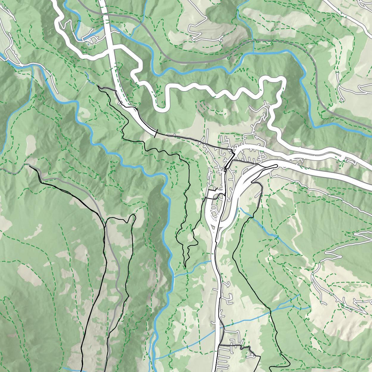
5 Stubai Run Part Five
Be inspired by different goals following each other. Save the best for last, as the fifth part of the Stubai Run is the most beautiful in terms of scenery. While running through the nature active park at Klaus Äuele, where water and rocks shape the landscape, you can experience untouched areas, especially during offpeak hours. From the parking lot at the ski lift in Krößbach the route leads along the cycling path 19 on paved road to the Doadler Alm hut, the end of the Stubai Run. There you can run back via gravel road to Volderau and from there on the known path back to the starting point.
17
5 Stubai Run Part Five
start/finish: 1101 m
sea level
highest point: 1211 m
uphill/down: 118/118
lowest point: 1101 m vd

length: 9720 m on paved: 4719 m on gravel: 5001 m on trail: 0 m
9.7 km
S. 18
LiftKrößbach LiftKrößbach VolderauCamping Volderau ÄueleKlaus Doadleralm 0 14 12 10 8 6 4 2 16 km
Krößbach Gasteig Volderau L 232 Ruetz Doadler Alm 1260 Klaus Äuele Marend Stüberl 1194 0 500 1000 m 5 N Mittel interm 500 vd
4 Stubai Run Part Four
Test your endurance in one or more units. In this fourth part of the Stubai Run, the end of the valley and the dominant glacier come closer. There are no major challenges on this beautiful and mainly flat section. Starting at the recreation center in Neustift, following the river on the paved cycling path to Milders and then moving on to the Ski Alm at Krößbach, experienced runners will soon get into a running-rhythm. Shortly before the end of this section, you can decide if you want to turn around or go further on to the next part of the Stubai Run.
19
4 Stubai Run Part Four
start/finish: 992 m
sea level
highest point: 1101 m
uphill/down: 112/112
lowest point: 989 m vd
length: 10678 m on paved: 9646 m on gravel: 1032 m on trail: 0 m

10.7 km
S. 20
Freizeitzentrum Freizeitzentrum Oberbergbach Schaller Umkehrpunkt: LiftKrößbach Schaller Oberbergbach 0 16 km 14 12 10 8 6 4 2
N Neustift im Stubaital Milders Schaller Stackler Krößbach Forchach Freizeit zentrum 989 L 232 Ruetz 0 500 1000 m 4 Strecke 14 → S. 21/22 Mittel interm 500 vd
14 Franz-Senn-Lauf
Following the tracks of a priest, mountaineer, and tourism pioneer. The name Franz Senn is tightly connected with the history of the Stubai valley. As a co-founder of the German Alpine Club, many first ascents of high peaks go on his account. He also was a thriving part of the tourism in the Tyrolean valleys. This medium-long cross-country run leads in honor of the priest on the prettiest paths through woods and alongside the river to Milders and back to Neustift. If you are looking for a training full of variety, you will find it on this route.
21
start/finish: 979 m
sea level
highest point: 1096 m
uphill/down: 107/107
lowest point: 978 m vd
length: 4066 m on paved: 1544 m on gravel: 636 m on trail: 1886 m

4 .1 km
N 0 250 500 750 1000 m S. 22
Oberbergbach WegSennFranz Lehner Freizeitzentrum Freizeitzentrum 8 km 0 1 2 3 4 5 6 7 14 Franz-Senn-Lauf Neustift im Stubaital Milders Forchach Freizeit zentrum 989 Autenalm 1665 Elferbahnen Talstation 980 Kaserstattalm 1890 Kartnall L 232 Strecke 15 → S. 23/24 Ruetz 14 Strecke 4 → S. 19/20 Mittel interm 500 vd
15 Moosrunde
For a quick session throughout the day or a small loop with the kids. It is not always easy to bring the individual wishes down to one point while on a family-vacation. So why not just take your running shoes and do something for yourself. This nice and flat route through Neustift is ideal for a quick session between other activities, or to wind down from a busy day. You can even bring your kids with you on this run, either running themselves or in a jogging stroller. Bigger kids can also easily accompany their parents on their bicycles on this route over paved roads.
23
start/finish: 979 m
sea level
highest point: 993 m
lowest point: 969 m vd uphill/down: 12/12
length: 4247 m on paved: 4085 m on gravel: 162 m on trail: 0 m

S. 24
Freizeitzentrum Bushaltestelle Außerrain Tankstelle Freizeitzentrum 8 km 0 1 2 3 4 5 6 7 easy 4.2 km 15 Moosrunde N Neustift im Stubaital Freizeit zentrum 989 Elferbahnen Talstation 980 Neder- Pfurtschell Neder- Außerrain Neder- Obergasse Neder Kampler See Kampl Ruetz B183 0 250 500 750 1000 m 15 Strecke 3 → S. 25/26 Strecke 14 → S. 21/22 500 vd
3 Stubai Run Part Three
A suitable section for every taste. This almost flat part of the Stubai Run can easily be done with kids or with a jogging stroller. For well-trained runners, it is also interesting to use it as a high-frequency speed-unit between part two and part four. There are rarely any vertical meters to overcome running inbound along the Ruetz river from the Kampler See (lake) in the middle of the Stubai valley to the recreation center in Neustift. After 6.34 km on paved and gravel roads, you can turn around or call it a quit. Of course, you can directly move on to part four if you like.
25
3 Stubai Run Part Three
start/finish: 962 m
sea level
highest point: 992 m
lowest point: 962 m vd uphill/down: 30/30
length: 6257 m on paved: 4461 m on gravel: 1796 m on trail: 0 m

S. 26
SeeKampler SeeKampler Pinnisbach Pinnisbach Elferbahnen Elferbahnen Umkehrpunkt: Freizeitzentrum 8 km 0 1 2 3 4 5 6 7 easy 6.3 km
Neustift im Stubaital Freizeit zentrum 989 Elferbahnen Talstation 980 Neder- Pfurtschell Neder- Außerrain Neder- Obergasse Neder Kampler See Kampl Ruetz B183 N 0 250 500 750 1000 m 3 Strecke 15 → S. 23/24 Strecke 2 → S. 27/28 500 vd
2 Stubai Run Part Two
In five stages through the whole valley. The second section of the Stubai Run – the ongoing route in the valley – mainly runs on paved roads and is not as challenging as the first part. Therefore, it is recommended for beginners as well as for sportive families. On the sunny side of Fulpmes, starting at the Schlick 2000 gondola station you run easily with little altitude-difference across lush green meadows and slightly downhill to the idyllic Kampler See (lake). After a short refreshment in the swimming lake, you either go back on the same route or move on to the third part of the Stubai Run.
27
2 Stubai Run Part Two
start/finish: 993 m
sea level
highest point: 1008 m
uphill/down: 67/67
lowest point: 962 m vd

length: 8038 m on paved: 5732 m on gravel: 2306 m on trail: 0 m
8 km
S. 28
Gröbenhof Gröbenhof Himmelreich Himmelreich Umkehrpunkt:Kampler See 8 km 0 1 2 3 4 5 6 7
Vergör 1296 Galtalm 1680 Ruetz B183 B183 Schlick 2000 Talstation 1000 Fulpmes Kreuzjochbahn Mittelstation Medraz Medrazer Stille Gschmitz Neder- Pfurtschell Kampler See Kampl Talstation 2000Schlick Talstation 2000Schlick Gröbenhof 1000 2 N 0 250 500 750 1000 m Strecke 12 → S. 29/30 Strecke 13 → S. 31/32 Mittel interm 500 vd
12 Himmelreichrunde
A relaxing run on the sunny side of the Stubai valley. The start of this running-loop through the village and beyond it, is in the center of Fulpmes. As the priest and mountaineer Franz Senn is patron to many places in the Stubai valley, it is no wonder he also gave his name to this path to Medraz. No surprise that it leads into an area called Himmelreich (Kingdom of Heaven), where wide meadows with traditional hay-huts shape the landscape and one finds itself on a natural oasis that has no look-alikes. The way back is a few vertical meters higher and therefore cares for double the enjoyment.
29
start/finish: 938 m
sea level
highest point: 1025 m
lowest point: 921 m vd uphill/down: 97/ 97
6.6 km length: 6596 m on paved: 5125 m on gravel: 1471 m on trail: 0 m

S. 30
FranzSennWeg FulpmesKirchplatz
Himmelreich Gröbenhof Schlick2000Talstation 8 km 0 1 2 3 4 5 6 7
Vergör 1296 Galtalm 1680 Ruetz B183 Schlick 2000 Talstation 1000 Fulpmes Fronebenalm 1306 Kreuzjochbahn Mittelstation Medraz Medrazer Stille Adventure Park Gschmitz Gröbenhof 1000 N 0 250 500 750 1000 m 12 Strecke 13 → S. 31/32 Strecke 1 → S. 33/34 Strecke 2 → S. 27/28 Mittel interm 500 vd
FulpmesKirchplatz
12 Himmelreichrunde
13 Adventurepark-Runde
Getting warm and boosting circulation or clearing your mind. Running is the perfect sport to get the system going early in the morning. On this pleasant run from the center of Fulpmes via the Forchach district to the Adventure Park (high rope course) on the other side of the valley, your day comes into full swing and starts with a mindful time for yourself. The 5.5 kilometers mainly run on paved roads and have no noticeable meters of vertical height. Everyone can manage it without greater effort so there is enough time and power for following activities with the whole family.
31

S. 32 Mittel 8 km 0 1 2 3 4 5 6 7 5.5 km Forchach Adventurepark StilleMedrazer Fußballplatz Medraz FranzSennWeg 13 Adventurepark-Runde Galtalm 1680 Ruetz B183 Schlick 2000 Talstation 1000 Fulpmes Fronebenalm 1306 Kreuzjochbahn Mittelstation Stubay 987 Medraz Medrazer Stille Adventure Park length: 5498 m on paved: 3295 m on gravel: 2203 m on trail: 0 m sea level start/finish: 938 m highest point: 985 m lowest point: 899 m vd uphill/down: 97/ 97 FulpmesKirchplatz FulpmesKirchplatz N 0 250 500 750 1000 m 13 Strecke 12 → S. 29/30 Strecke 11 → S. 35/36 Strecke 1 → S. 33/34 Strecke 9 → S. 39/40 interm 500 vd
1 Stubai Run Part One
Discovering the Stubai from day to day anew. A connected running route leads through the whole Stubai valley, allows ambitious runners to follow the path of professional athletes and presents new goals to beginners. Already in the first section of the Stubai Run from the train station Brandeck in Telfes to the bottom station of the Schlick 2000 gondola in Fulpmes, the route hits the ground running. If you only want to tackle this challenging section, better start from the gondola station outbound via Plöven and the Lüdritzsteig trail. Taking the same way back, you will have double the training effect.
33
Stubai Run Part One
start/finish: 993 m
sea level
highest point: 1139 m
uphill/down: 321/321
lowest point: 995 m vd
length: 13202 m on paved: 1616 m on gravel: 6968 m on trail: 4618 m

S. 34
Talstation 2000Schlick Talstation
Lüdritzsteig Lüdritzsteig WiesenTelfer WiesenTelfer Umkehrpunkt:Brandeck 13.2 km 16 km 0 2 4 6 8 10 12 14 1
N Telfes Mieders Plöven Gagers Ruetz B183 Telfer Wiesen Telfer Wiesen Serlesbahn Pfarrachalm 1740 Gleinserhof 1412 Stubay 987 difficult 0 500 1000 m 1 Strecke 9 → S. 39/40 Strecke 8 → S. 41/42 Strecke 7 → S. 43/44 Strecke 10 → S. 37/38 Strecke 11 → S. 35/36 500 vd
2000Schlick
11 Lüderitzsteigrunde
Have a peek and then a lot of fun over and over again. Even for highly motivated runners, it is not always about distance and height. Sometimes, the beauty of the route is more than enough. While beginners take it easy, well-trained runners can start a little bit faster. But be careful to not miss the 180 degree turn into the Lüdritzsteig uphill track at Stockerhof inn. It is that uphill track what makes this run so interesting. Before the soccer field, you have to run a short section on the road. Then the uphill track goes along on the left side until you are above the Plöven district.
35
start/finish: 1084 m
sea level
highest point: 1139 m
lowest point: 1063 m vd uphill/down: 79/79
length: 4318 m on paved: 1192 m on gravel: 987 m on trail: 2139 m

4.3 km
S. 36
KapfersParkplatz KapfersParkplatz Lüderitzsteig Gagers 8 km 0 1 2 3 4 5 6 7
Fulpmes Telfes Luimes Ruetz B183 Mieders Gagers Plöven Kirchbrücke 871 Stubay 987 N 0 250 500 750 1000 m 11 Strecke 8 → S. 41/42 Strecke 9 → S. 39/40 Strecke 9 → S. 39/40 Strecke 10 → S. 37/38 Strecke 1 → S. 33/34 Strecke 7 → S. 43/44 Mittel interm 500 vd
11 Lüderitzsteigrunde
10 Telfer Wiesen Run
Into the middle of a colorful and traditional landscape. Almost the whole year through, the scenic nature site Telfer Wiesen is popular as an outdoor recreation area with locals and tourists alike. The prolific grounds there shine in a bright green very long into the season. That is why a run through those larch fields is always a welcoming source for gaining energy – from spring until far into fall. Accompanied by the warm sunrays, the route goes mainly over gravel roads and field tracks. Only the loop back has some challenges because you have to overcome all of the uphill meters there.
37
Run
start/finish: 992 m
sea level
highest point: 1084 m
uphill/down: 146/146
lowest point: 957 m vd

length: 8024 m on paved: 2510 m on gravel: 4387 m on trail: 1127 m
8 km
S. 38
Bushaltestelle Bushaltestelle Greifvogelpark Haltestelle WiesenTelfer KapfersParkplatz 8 km 0 1 2 3 4 5 6 7
Telfes Luimes Telfer Wiesen Telfer Wiesen Ruetz Mieders Kirchbrücke 871 N 0 250 500 750 1000 m 10 Strecke 8 → S. 41/42 Strecke 7 → S. 43/44 Strecke 7 → S. 43/44 Strecke 6 → S. 45/46 Strecke 11 → S. 35/36 Mittel interm 500 vd
10 Telfer Wiesen
9 Kirchbrückenrunde
Driven by a stunning landscape along the valley floors. Where nature sets the pace, runners should take the time to enjoy the beauty of it. Therefore, you better ration your power wisely on this medium run to have some strength left, when arriving at the prettiest places of the route. Already at the beginning, there is a slight uphill towards Koppeneck. The following, very nice trail to the Adventure Park is also worth every effort. After the underground crossing, the bridge over the river and a section along a meadow, the Stollensteig uphill track waits with another partly steep challenge.
39
sea level start/finish: 950 m highest point: 1035 m lowest point: 906 m vd uphill/down: 172/172

length: 7172 m on paved: 1888 m on gravel: 2148 m on trail: 3136 m
S. 40
Talstation Serlesbahn FulpmesWaldweg Adventurepark Kirchbrücke Mieders Mineralbad 8 km 0 1 2 3 4 5 6 7 difficult 7.2 km 9 Kirchbrückenrunde N Fulpmes Telfes Luimes Ruetz B183 Mieders Serlesbahn Adventure Park Gagers Plöven Kirchbrücke 871 Stubay 987 0 250 500 750 1000 m 9 Strecke 8 → S. 41/42 Strecke 10 → S. 37/38 Strecke 11 → S. 35/36 Strecke 1 → S. 33/34 Strecke 13 → S. 31/32 Strecke 7 → S. 43/44 500 vd
8 Mieders ums Dorf Runde
With the power of nature over lush meadows and into the woods. The Serlesbahn gondola in Mieders marks the starting as well as the ending point of this route, which leads in a pleasant up and down through green fields and around the village. Paved and gravel roads as well as forest tracks interchange and set the pace. Depending on your preferences and your speed you decide for yourself if it is going to be a joyful slow run or a sporty unit following speed and time goals. On 5.54 kilometers and 173 meters of vertical height you can also boost your pulse and heart rate if you like.
41
8 Mieders ums Dorf Runde
start/finish: 950 m
sea level
highest point: 1035 m
uphill/down: 176/176
lowest point: 906 m vd
length: 5529 m on paved: 3136 m on gravel: 0 m on trail: 2393 m

5.5 km
S. 42
Talstation Serlesbahn Talstation Serlesbahn Landesstraße Landesstraße Überquerung Unterführung 8 km 0 1 2 3 4 5 6 7
Telfes Luimes Telfer Wiesen Ruetz B183 Mieders Kirchbrücke 871 Gleins Gleinserhof 1412 Serlesbahn 0 250 500 750 1000 m 8 N Strecke 8 → S. 41/42 Strecke 11 → S. 35/36 Strecke 10 → S. 37/38 Strecke 9 → S. 39/40 Strecke 9 → S. 39/40 Strecke 7 → S. 43/44 Mittel interm 500 vd
7 Schönbergrunde
Staying in shape while enjoying the vacation. Your daily morning run can be perfectly integrated into your holiday plans, while staying in the Stubai valley. No matter if you prefer to run in the morning before going out for sightseeing or in the evening to wind down from an active day, this medium run fits into every training and leisure time plan. Starting at the church in Schönberg, you first run on paved roads and then through the forest in the direction of Mieders. Once you have arrived there, it is worth to stop and take a look at the mighty glacier, which resides at the end of the valley.
43
1012
point: 1117 m
point: 956 m
2366

S. 44 0 1 2 3 4 5 6 7 8 km Mittel 7.2 km length:
m
paved:
m on gravel:
m on trail:
m sea
start/finish:
m highest
lowest
vd
Gemeindeamt Gemeindeamt Fußballplatz Mieders Gletscherblick 8 7 Schönbergrunde Schönberg B182 Telfer Wiesen Ruetz B183 Parkplatz Schönberg 1047 Mieders Gleins Gleinserhof 1412 A13 Telfer Wiesen N 0 250 500 750 1000 m 7 Strecke 8 → S. 41/42 Strecke 10 → S. 37/38 Strecke 9 → S. 39/40 Strecke 6 → S. 45/46 Strecke 1 → S. 33/34 interm 500 vd
7185
on
4819
0
level
uphill/down: 163/163
6 Stollensteigtour
A sporty challenge for technically well-versed runners. Whoever takes in hand to go on this tour, already has some experience in trail running and a good endurance. Only at the beginning and at the end, this route leads over paved roads. Otherwise, it is just shady forest trails and gravel roads. The “Stollensteig” was originally built as a maintenance path for a power station of the Stubai valley train. Today, the trail leads hikers and runners inbound through a quiet landscape. Challenging in terms of shape as well as technique, this route awakens the desire for more within ambitious runners.
45
6 Stollensteigtour
start/finish: 1012 m
sea level
highest point: 1012 m
uphill/down: 141/141
lowest point: 873 m vd
length: 6193 m on paved: 2343 m on gravel: 148 m on trail: 3702 m

XX km
S. 46
Gemeindeamt Europabrücke Stollensteig Zauberwald Gemeindeamt 8 km 500 vd 0 1 2 3 4 5 6 7
Schönberg Sill B182 B182 Telfer Wiesen Ruetz Ruetzwerk A13 Ruetz B183 Parkplatz Schönberg 1047 Mieders A13 6.2 Mittel interm N 0 250 500 750 1000 m 6 Strecke 10 → S. 37/38 Strecke 1 → S. 33/34 Strecke 7 → S. 43/44
Stubai Run X-Large
Conquer a unique challenge with ambition. This run from the beginning of the valley to the Doadler Alm hut, where the ascent to the Stubai glacier starts, is definitely nothing for tired legs. Even though the 430 meters of vertical height might not scare off good runners, the 23.3 kilometers along the valley floor demand all the power and endurance. Many ups and down make the route challenging and anything else but easy. However, for everyone who follows a big sportive goal, the half-marathon is worth every effort. All others can also do the Stubai Run in up to 5 stages.
47
sea level start/finish: 1000 m highest point: 1211 m lowest point: 962 m vd uphill/down: 430/221
length: 23325 m
on paved: 12515 m on gravel: 8680 m on trail: 2130 m

S. 48
23.3 km 16
X-Large Brandeck Telfes Fulpmes SeeKampler Neustift Schaller Krößbach Volderau ÄueleKlaus AlmDoadler 16 18 20 0 2 4 6 8 10 12 14 22 km Telfes Fulpmes Neustift Kampl Stackler Schaller Krößbach Doadler Alm Klaus Äuele Telfer Wiesen Gasteig Volderau difficult 0 5000 m 1000 3000 16 N
Stubai Run
Over rough and smooth
It no longer only serves fitness and endurance; it also supports coordination and concentration. While running on trails more muscle-groups are required than simply running on paved and gravel roads. Furthermore, changing terrain and a variety of landscapes rise the adventure and experience factor.
Thanks to its mountain ranges, the many alpine meadows, huts, and scenic nature sites, the Stubai is an eldorado for trail runners of all levels. Diverse routes lead over forest and grassland path, over rock tracks and uphill trails to places, that have the most stunning views of the valley.
On rough surface and over obstacles, running gets a completely new dimension.
Wildewasser Trail
Water cleaves its way through the whole valley. It is more than just a refreshing matter to follow its path. Along the wild water, one can run on a wide trail, which suits beginners or let friends run next to each other, all the way to the Grawa Alm hut, where the falling masses of water produce a spectacular show as well as a healthy spray.
length: 9.2 km
sea level start: 1200 m
sea level finish: 1539 m
highest point: 1539 m
lowest point: 1200 m
vd uphill: 444 m
vd downhill: 97 m
difficulty: easy
Gloatsteig Trail
Start with the roaring Schlickerbach stream as a companion, then descend the many steps of the Höllenleiter (staircase to hell) and enjoy the panoramic views of this up and down. There is not one aspect missing on this trail, not even the challenging uphill to the Halsl. Even the descent over the Hirtensteig track to Plöven can score with sound-standing mountain runners.
length: 16.3 km
sea level start: 993 m
sea level finish: 993 m
highest point: 2001 m
lowest point: 985 m
vd uphill: 1200 m
vd downhill: 1200 m
difficulty: high
52
Trail running routes
Waldraster Jöchl Trail
On the bottom of the Serles –the distinctive rock pyramid –a wonderful forest route leads over the Miederer Berg mountain to the Waldraster Jöchl saddle. A summit cross marks the highest point on this, especially on hot days very popular run. After refreshing water from the monasteryfountain and a stop at the Sonnenstein mountain restaurant, the loop closes at the bottom station of the gondola.
length: 14.5 km
sea level start: 950 m
sea level finish: 950 m
highest point: 1874 m
lowest point: 950 m
vd uphill: 986 m
vd downhill: 986 m
difficulty: intermediate
Milderer Almen Trail
Versatility and diversity portray this route from the recreation center in Neustift over four alpine meadows and two scenic nature sites as well as a part of the World Mountain and Trail Running Championships track. Partly technically challenging sections over roots and rocks follow paved, gravel and forest roads. Stages with great views reward for the efforts made uphill.
length: 20.7 km
sea level start: 979 m
sea level finish: 979 m
highest point: 2261 m
lowest point: 979 m
vd uphill: 1563 m
vd downhill: 1563 m
difficulty: high
53
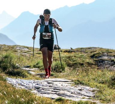
Stubai Vertical
Follow the footsteps of champions. Even for professional trail runners this sheer mountain run is demanding. As a route of the World Mountain and Trail Running Championship 2023, this track has to keep up with the competitiveness of vertical uphill races, and therefore has to be pretty challenging.
Amateurs better be well prepared when trying to follow the footsteps of the world’s best and testing power as well as endurance.
54
Trail running routes
A promising reward for an energy-sapping uphill. The race starts at the village square and goes over the Autenalm hut to the Elfer hut, but the steep winding track through the woods is not yet the hardest part. Even the trail from the Autenalm hut to the top station of the gondola can be mastered with a good technique and good shape. It is the final hike over the ski slope to the Elfer hut that calls for everything and is merciless.
length: 7.2 km
sea level start: 985 m
sea level finish: 2004 m
highest point: 2004 m
lowest point: 985 m
vd uphill: 1024 m
vd downhill: 5 m
difficulty: intermediate
55
Stubai Ultra Trail
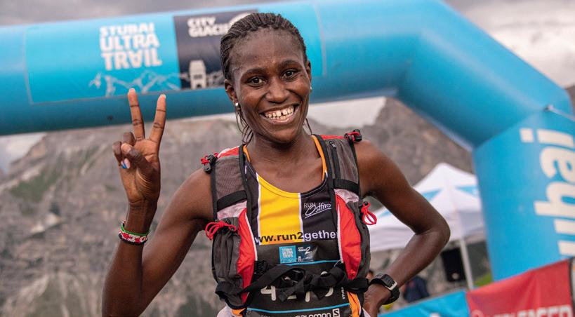
Highly demanding, extreme, and challenging to the maximum – the naming of this trail run with “ultra” predicts the toughness that is to be expected. Every year, when the slogan “CITY2GLACIER” calls professionals and amateurs to get on their way from the Olympic city of Innsbruck to the eternal ice of the Stubai glacier, the sportsmen and sportswomen have to give everything on paved and gravel roads, on forest trails, rocks, snow and ice.
K9:
length: 7.5 km
sea level start: 1746 m
sea level finish: 2960 m
highest point: 2960 m
lowest point: 1746 m
vd uphill: 1210 m
vd downhill: 35 m
difficulty: high
K20:
length: 18 km
sea level start: 1200 m
sea level finish: 2960 m
highest point: 2960 m
lowest point: 1200 m
vd uphill: 1796 m
vd downhill: 75 m
difficulty: high
K32:
length: 31 km
sea level start: 988 m
sea level finish: 2960 m
highest point: 2960 m
lowest point: 988 m
vd uphill: 2630 m
vd downhill: 720 m
difficulty: high
56
Eisgrotte Stubaier Gletscher Start K9 Talstation Gamsgartenbahn Falbesoner Nockalm 1663 Volderau Krößbach Grawa Wasserfall Start K20 Klaus Äuele Marend Stüberl ● ● ●
K68
length: 66 km
sea level start: 574 m
sea level finish: 2960 m
highest point: 2960 m
lowest point: 574 m
vd uphill: 4700 m
vd downhill: 2355 m
difficulty: high
Every well-trained runner can experience the unique adventure of the Stubai Ultra Trail. Different starting points make it possible to tackle the 66 km of distance and 4,700 m of vertical height and compare the performance to that of others. The finish at the Eisgrat mountain station is always the same, no matter if you are starting at the bottom station at Mutterberg (K9) and “only” run uphill over the winding track through rocks and ice or if you are running from Klaus Äuele (K20) or the center of Neustift along the “WildeWasserWeg” path or master the whole track, starting in the city of Innsbruck.
57
Trail running routes
●
Start K32 Neustift FZZ
Starkenburger Hütte 2237
Sennjochhütte 2225
Panoramasee
Ruetz
Sill
Schlicker Alm 1643
Telfes im Stubai
Schönberg
Unterberg
Mutters
●
Start K68 Innsbruck
Appendix
Sports shops
in Neustift:
• Intersport Martin
Franz-Senn-Straße 88
6167 Neustift
+43 664 7964593
brollerhof@aon.at
• Spor t Stubai
Stubaitalstraße 62
6167 Neustift
+43 5226 30288
www.sport-stubai.com
• Schönherr Spor t & Mode
Stubaitalstraße 79
6167 Neustift
+43 5226 369043
www.schoenherr.cc
• Spor t Hofer
Dorf 13, 6167 Neustift
+43 5226 2428
www.hofer-sport-2000.at
in Fulpmes:
• HP-Sports
bottom station
Schlick 2000
6166 Fulpmes
+43 664 4765650
www.hp-sports.at
• Intersport Pittl
Kirchstraße 1
6166 Fulpmes
+43 5225 62428
www.intersport-pittl.at
• Spor t Denifl
Industriezone C10
6166 Fulpmes
+43 5225 62281
www.sportshop-denifl.com
in Telfes:
• Spor t Resch
Lange Gasse 2, 6165 Telfes
+43 5225 62306
resch@sport2000.at
Recreation centers
• Recreation center Neustift
Stubaitalstraße 110
6167 Neustift
+43 5226 2722
info@fzz-neustift.at
• Recreation center StuBay
Pools, sauna
Landesstraße 1
6165 Telfes
+43 5225 62666
info@stubay.at
60
Sports shops/recreation centers
Outdoor pools, lakes
• “Miederer Badl” pool
Wiesel 3
6142 Mieders
• Natural lake Milders
Franz-Senn-Straße 170
6167 Neustift
• “Kampler See” lake
Stubaitalstraße 22
6167 Neustift
Pharmacies
• St. Georg pharmacy
Dorf 30, 6167 Neustift
+43 5226 3100
• Stubaital pharmacy
Waldrasterstr. 12
6166 Fulpmes
+43 5225 62070
• Serles pharmacy
Schmelzgasse 2
6142 Mieders
+43 5225 63030
Doctors
• Dr. Turkonje (General practitioner)
Dorf 32, 6167 Neustift
+43 5226 30053
• Dr. Gleirscher (General practitioner)
Stubaitalstraße 104
6167 Neustift
+43 5226 2737
• Dr. Lugmayr/Dr. Ranalter (Sports medicine)
Scheibe 39, 6167 Neustift
+43 5226 2214
• Dr. Somavilla
(General pract., orthop.)
Riehlstraße 32b
6166 Fulpmes
+43 5225 62257
• Dr. Gritsch (internal med.)
Riehlstraße 3
6166 Fulpmes
+43 5225 65286
• Dr. Leitgeb
(General practitioner)
Lange Gasse 24
6165 Telfes
+43 5225 63823-1
• Dr. Nagiller
(General practitioner)
Mieders
+43 5226 2973
61
Pools, lakes/pharmacies/doctors
Imprint
No guarantee for completeness or accuracy of all data. All liability for the quality of routes and tracks is denied. No accountability for accidents of all arts.
Imprint
• Publisher: Stubai Tirol Tourism Association
• Editor: Irene Walser
• Layout & graphic design: Atelier Christian Mariacher
• Mapping: Pindar Creative (with Copernicus, OpenStreetMap contributors) and Atelier Mariacher
• Print: Alpina Druck
• Pictures: Christian Penning, Philipp Reiter, Stubai tourism, Andre Schönherr, istockphoto.com (egal [sic], scisettialfio, SrdjanPav, UfukSaracoglu)
62
63
Schlicker Alm 1643 Kleiner Ampfenstein 2400 • Vergör 1296 Gröbenhof 1000 Panoramasee B183 Schlick 2000 Talstation 1000 Fulpmes Bruggeralm 1350 Fronebenalm 1306 Kreuzjochbahn Mittelstation Nederjoch 2142 • • Jochkreuz 2046 Unterberg Schönberg B182 Telfer Wiesen Parkplatz Telfer Wiesen 1065 Stubay 987 Telfes Luimes Stockerhof 1196 Telfer Wiesen Ruetz Ruetzwerk A13 Parkplatz Schönberg 1047 Mieders Serlesbahn Talstation 960 Speichersee Koppeneck Serlesbahn B182 A13 Sill Medraz Adventure Park • Sonnenstein 2441 13 11 1 9 1 10 1, 10 1, 11 6 7 7 8 8 8 12 2, 12 7, 8 12, 13 Galtalm 1680 Kreither Alm 1492 Pfarrachalm 1740 Gleinserhof 1412 Sonnenstein 1400 Koppeneck 1600 Ochsenhütte 1582 Wildeben 1781 Wildeben • Serles 2717 • Rote Wand 2524 Innsbruck: noch 10 km
Stubai Tirol Tourism Association

Stubaitalhaus, Dorf 3
6167 Neustift i. St.
Austria
T +43 (0) 50 18 81-0
F +43 (0) 50 18 81-199
info@stubai.at
www.stubai.at


