3 minute read
Mitigating Change

from Reimagining 322: Strategies for the proposed State College Area Connector in Penns-Brush Valley

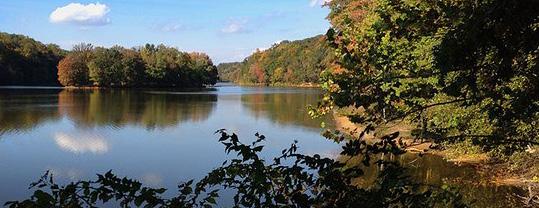
A Center for Education of Water Quality and Recreation
Strategy
Mitigation strategies are supported by the Federal Highway Administration (FHWA) to lessen the impacts of highway construction on communities. For highway projects that may compromise or severely impact existing resources, such as ecosystems, habitat or historic districts, mitigation strategies offer the state or local community an opportunity to advance a separate project designed to reduce the loss of a resource. A mitigation agreement could result in the acquisition of new lands to offset parks or habitat taken for a project, funds to develop a museum or resource center to showcase regional history or ecosystems lost due to construction, a program to improve water quality and stormwater management, or funds for the documentation and study of a historic site before construction. Mitigation strategies should be identified by the community early in the planning phase of a highway project.

Mitigation strategy breakdown
Although there are many solutions that are possible for this project, I believe that a mitigation strategy will help to give local community members more options when the newly proposed route gets built. Often when highway projects like this are built, they may take and degrade land, ecosystems, habitat or historic districts away from the local community. Thus the transportation agency may be required to give back to the community through a mitigation agreement. The goal of this strategy would be to introduce community members to the possibilities that can be acheived through the use of a strategic mitigation plan.
This is only one example of mitigation. A mitigation strategy does not have to be limited to water quality education facility and park, it could also be a number of other helpful community resources such as an agricultural legacy facility, wildlife education center, or improveed trail connections.
The Mercer Slough Nature Park | Bellevue, Washington

Mercer Slough Nature Park is located in the heart of Bellevue, Washington. When Sound Transit (the Central Puget Sound Regional Transit Authority) wanted to extend the high-priority East Link light rail through the park, citizen opposition was high. The park is a haven of trails through forests, wetlands and meadows, allowing local residents to connect with nature. As mitigation for the transit project, Sound Transit agreed to restore six acres of wetland and wetland buffer within the park, plant 2,800 trees to replace the 691 taken for construction, and acquire an additional six acres of new land adjacent to the park to compensate for the three acres permanently taken for the light rail.
Intercounty Connector, MD 200 | Montgomery County, Maryland
The Intercounty Connector (ICC) also known as MD 200, makes an 18-mile link between I-95 and I-270, and crosses a number of parks, conservation lands, and stream-valley parks owned by the Maryland National Capital Park and Planning Commission (M-NCPPC). Crossing these protected spaces, and taking park lands for a new freeway when MD 200 was being planned in the early 2000s, was going to be a challenge regardless of which of the proposed corridors was selected. While the Maryland State Highway Administration (SHA) worked to minimize the environmental impacts when considering different freeway alignments, park land was going to be taken regardless of the final route selected for the freeway. Importantly, SHA, recognizing the environmental issues, “had the foresight to require substantial environmental improvements as part of the project” budget due to the Maryland’s Smart Growth policies, noted David Marks, a former official with the Maryland Department of Transportation [Baltimore Sun, Nov. 15, 2007] In addition to the State reimbursing M-NCPPC for lost acreage, the two parties agreed to a one-for-one acre replacement for park land taken.
In a Memorandum of Understanding (MOU) between the SHA and the M-NCPPC, the two parties agreed on a one-acre replacement for each one-acre taken, noting that “replacement land will be of equal or greater natural resource, recreation and economic value as the parkland being taken” and required that SHA and M-NCPPC work “collaboratively to compare acreage, natural resource, recreation, and economic values.” [Montgomery County Planning Board, ICC Study Planning Board
Briefing #7, July 22, 2005]
Penns-Brush Valley Studio Fall 2022
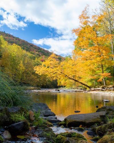
Image: Lake Washington’s water wetlands- from Environmental Works Communinty Design Center

Image: Visitor Center- from Environmental Works Communinty Design Center
Image: MD 200’s alignment was shifted .5 miles to avoid Lake Needwood in Rock Creek Regional Park. credit: M-NCPPC

Image: MD 200 crossing Rock Creek, wide arch facilitates wildlife crossing credit: wikiwand.com