3 minute read
SBIS news
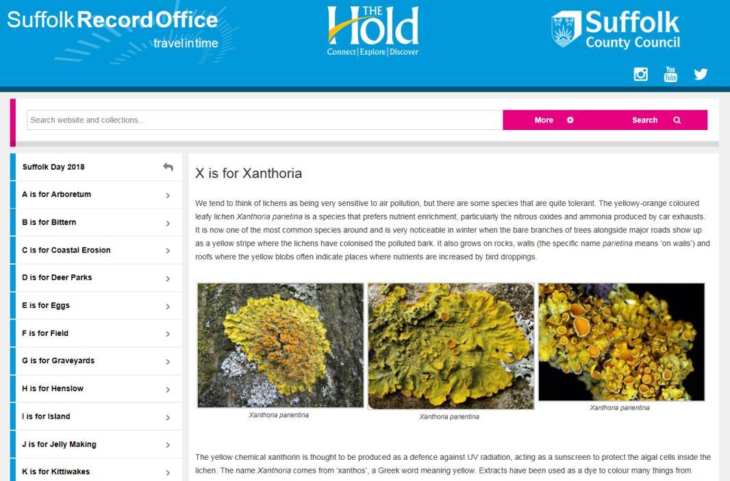
To celebrate Suffolk Day 2018 (21st June), Suffolk Record Office and SBIS put together a new A-Z, celebrating Natural Suffolk. This is the second year of ‘Suffolk Day’, when the county gets together to celebrate what makes Suffolk special. The full list can be found here >
https://www.suffolkarchives.co.uk/places/suffolk-day-2018/
Butterfly sightings 2018
There have been some exciting records of butterflies coming in this year. Bill Stone, Suffolk’s Butterfly County Recorder, maintains an active page for sightings on the Suffolk Butterflies website > Please visit the site to find out more or how to submit your own sightings. Camberwell Beauty 5th May River Gipping footpath between Needham Mkt and Badley. Large Tortoiseshell 4th July Mutford near Beccles. Silver washed fritillary Late June & early July Pakenham Wood, Brimlin Wood (near Hintlesham), Bonny Wood (near Barking Tye), Easty Wood (Cavendish), Bradfield Woods, Groton Wood (Kersey), Hadleigh Railway Walk, Arger Fen, RSPB Minsmere, Gt Barton, Landseer Park Ipswich, Northfield Wood (Onehouse) White Admiral Late June & early July Tunstall Forest, Brimlin Wood, Bonny Wood, Bradfield Woods, Groton Wood, Arger Fen, RSPB Minsmere, Sutton, Cutlers Hill (Wherstead), Wolves Wood. Marbled white (extremely rare in Suffolk) Possibly colonising in Haverhill and Stradishall, Landseer Park, Ipswich and Piper’s Vale Local Nature Reserve, Ipswich
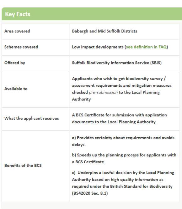
The SBIS Biodiversity Checking Service (BCS) is an innovative pilot project running in Babergh and Mid Suffolk districts until the end of September 2018. The aim is to streamline the planning process for applicants with low impact developments by avoiding delays, providing certainty about biodiversity requirements and ensuring a lawful decision based on high quality information. This is achieved by checking that the biodiversity surveys and assessments are appropriate and mitigation measures are deliverable pre-submission for an application to the Local Planning Authority. Step by step guidance is provided and a successful application receives a Certificate to be submitted with the Planning Application documents, ensuring a smooth application. The success of this Service will be reviewed in September 2018.
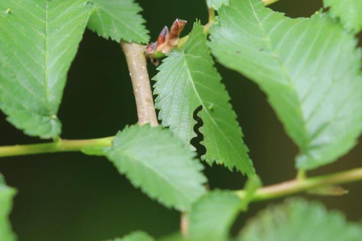
The 'Mark of Zorro' or Zigzag Sawfly Aproceros leucopoda, an invasive pest of elms, has been spotted at a few sites in Suffolk.

Trevor Goodfellow found the characteristic zigzag tracks on elm leaves in Thurston in June and Sharon Hearle noticed them in July in the King's Forest and at Piper's Vale in Ipswich. This invasive species, native to Japan, has been spreading across Europe since it was found in Poland 2003. It probably reached the UK a couple of years ago with the first record of characteristic leaf damage found in Surrey last autumn being identified by experts from Kew. This year, the zigzag tracks have been noticed in several Characteristic zigzag tracks of the ‘Mark of Zorro’ sawfly on elm leaves Photos: Trevor Goodfelloweastern counties. For further information, including a map of current spread and notes on identification, see the Observatree website.

The commercial data search service is still in demand, with over 120 searches being carried out since April. The species search layers and Natural England layers appearing on the maps, were all updated for the searches, and the process is being automated as far as possible. County Wildlife Site GIS boundaries have also been updated, and re-written citations incorporated into the Access database. SBIS worked with Orchards East to assign unique codes to the historical and current orchards which are mapped in GIS and then associate them with Suffolk Traditional Orchards Group surveyors' orchard records. We are now producing Parish maps for the Orchards East surveyors' packs which show the mapped orchard boundaries labelled with these codes, so surveyors will be able to use
SBIS GIS (digital mapping)
this on their survey forms to identify their orchards (see
News
p.22) For the AONBs, we analysed various datasets to produce a Tranquillity Map and associated statistics of the Deben Project Area. More recently we created Suffolk Landscape Character Assessment maps of Dedham Vale AONB, Suffolk Coast & Heaths AONB and Stour Valley Project Area. The AONBs needed to provide statistics for the National Association for AONBs, so SBIS GIS was used to calculate Area of land cover of various types, length of coast, rivers and streams, area of Open Access land and numbers of Scheduled Monuments and listed buildings all within the two Suffolk AONBs. Lastly, we shall be providing MapInfo training for new AONB staff.


