3 minute read
PHASE I


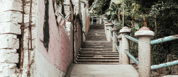
The first radius that will be intervened covers two neighborhoods: on the West the neighborhood La Negreta and to the East neighborhood Santa Barbara. We chose this section as the first node for several reasons: it connects two communities, it is a section that marks the limit of the urban sprawl with the presence of the ecological park El Batán, it is also the place where the patronage of the river have been working on since 2011, thus it is actually an insecure area, which gives us a big opportunity with which to work.

Advertisement

AGENDA- STRATEGIES
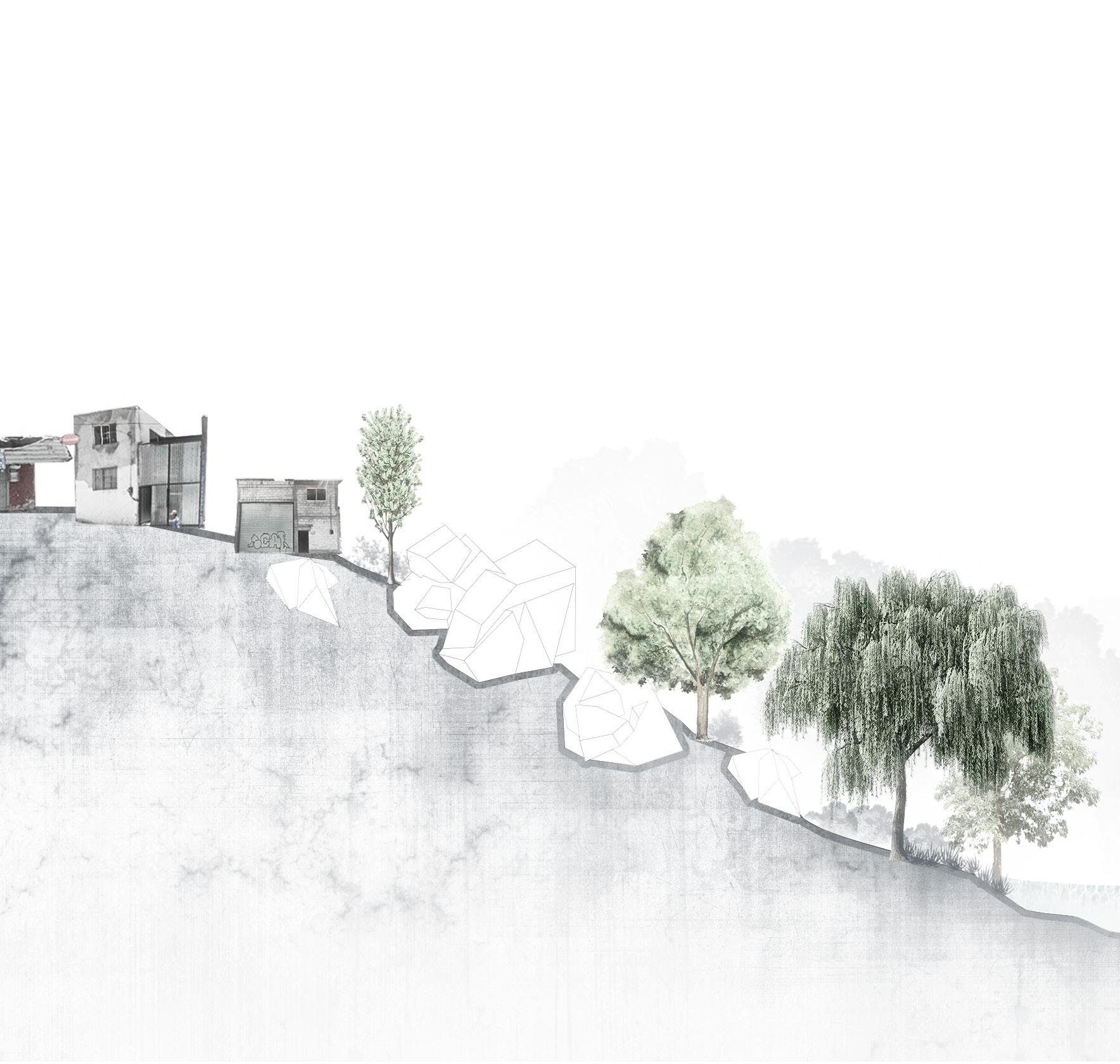
In order to regenerate the river, it is necessary to establish an agenda, with a real scope. To solve the strong contamination present along the river, it is intended to start the project with the first phase: regeneration.
How is this accomplished?
The re-vegetation and the installation of biofilters in specific sections is the first step to clean up the water. It is intended to improve the ecosystem in a comprehensive manner, through various strategies approved by specialists in the field. Once this phase is completed, it is then possible to make an intervention, as a catalyst, a linear park will be designed. Where? In the section of the river with the greatest dynamics. The park acts as a bond between the neighborhoods, and a place where water is celebrated.
If the park becomes a point of attraction, it will trigger a series of positive effects in its context. Not only will the population be made aware of the importance of caring for our rivers, links will also be created towards the El Batán reserve.


In Santa Bárbara commerce agglomerates in the main street of the entity which is named “Av. Benito Juárez”, most of the existing businesses are established in what used to be houses and now they are greengrocers, butchers, shops, and grocery stores. The main roads in the two neighborhoods connect with the streets that face the river, in La Negreta the main avenue is “Prolongación Jazmín” that connects with “Jamaica” that directly overlooks the river. The same happens in Santa Bárbara, the main street is “Av. Benito Juárez” and it is linked to “C. Heroic Military College” which overlooks the river…
These two are linked by a pedestrian bridge.

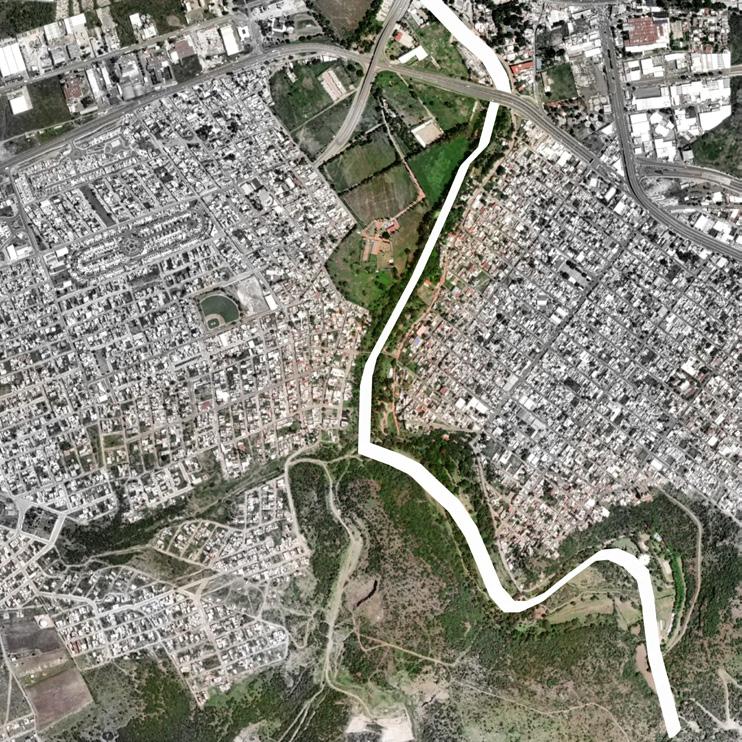

The permeable areas that exist in this territory are the vegetation and lands that are on the banks of the river that begin to connect with what is “The Ecological Reserve of El Batán”. Within the communities these areas are nonexistent. In this section there are parts of the river that carry water, as well as parts that are dry. There is a drainage that is poured directly into the river, as well as two ditches that totally divert the water from the river and it is further carried to the drainage system.