SOARING TO NEW HEIGHTS



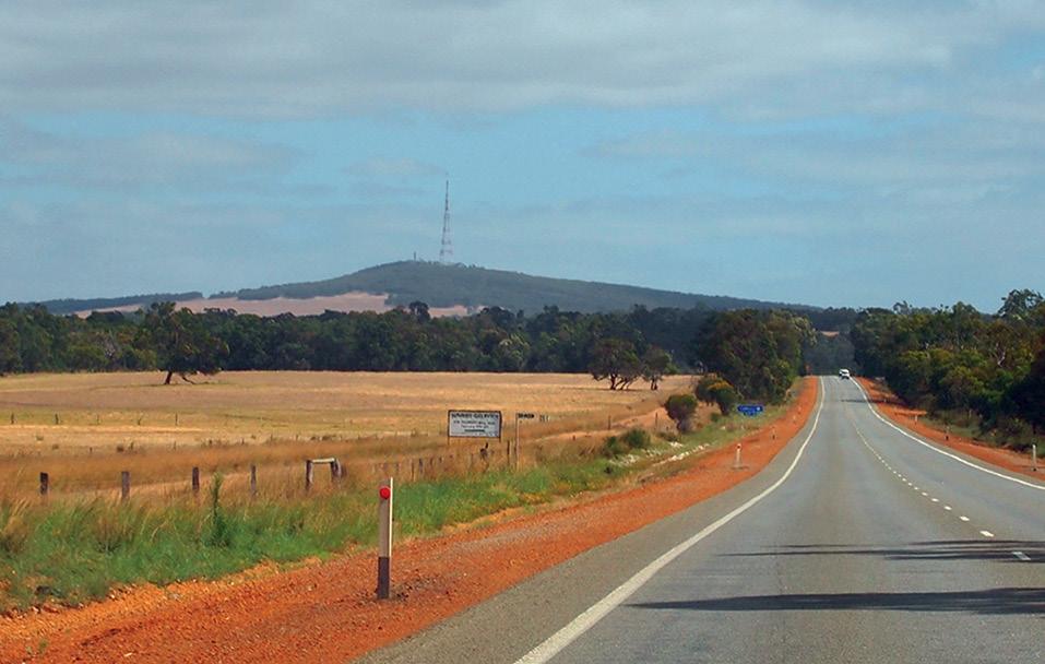
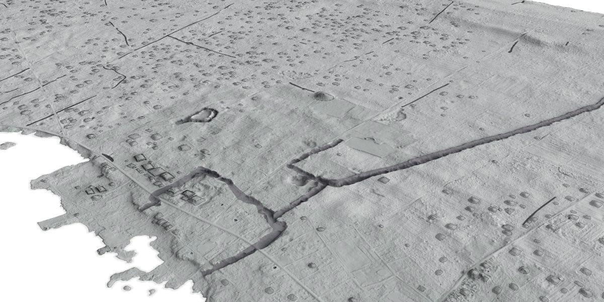
New evidence of one of the first cities in the Pacific shows they were established much earlier than previously thought, according to research from The Australian National University (ANU).
Lead author, PhD scholar Phillip Parton, said the new timeline also indicates that urbanisation in the Pacific was an indigenous innovation that developed before Western influence.
“Earth structures were being constructed in Tongatapu around AD 300. This is 700 years earlier than previously thought,” Mr Parton said. “As settlements grew, they had to come up with new ways of supporting that growing population. This kind of setup — what we call low density urbanisation — sets in motion huge social and economic change. People are interacting more and doing different kinds of work.”
The study, which has been published in the Journal of Archaeological Method and Theory, used aerial LiDAR scanning to map archaeological sites on the island of Tongatapu in Tonga.
In the paper, the authors write that “The vast quantities of data produced by lidar presents a unique opportunity to incorporate built environment data with approaches that are inclusive of all sectors of past societies, not just the social and political elite. The introduction of lidar as a tool to understanding built environments of the past has been transformative for tropical regions resulting in a reappraisal of our understanding of settlements in these landscapes…”
“The high-accuracy lidar data provides unprecedented data on the built environment of Tongatapu that permits new analyses of the built environment,” the authors add.
Mr Parton said traditionally, studying urbanisation in the Pacific has been tricky due to challenges collecting data, but the new technology has changed that.
“We were able to combine high-tech mapping and archaeological fieldwork to understand what was happening in Tongatapu,” he said. “Having this type of information really adds to our understanding of early Pacific societies.”
“Urbanisation is not an area that had been investigated much until now. When people think of early cities they usually think of traditional old European cities with compact housing and windy cobblestone streets. This is a very different kind of city,” he added. “But it shows the contribution of the Pacific to urban science. We can see clues that Tongatapu’s influence spread across the southwest Pacific Ocean between the 13th and 19th centuries.”
According to Mr Parton, the collapse of this kind of low-density urbanisation in Tonga was largely due to the arrival of Europeans.
“It didn’t collapse because the system was flawed; it was more to do with the arrival of Europeans and introduced diseases,” he said. “This is just the beginning in terms of early Pacific settlements. There’s likely still much to be discovered.” n
11 June: ISPRS TC II Symposium
16–21 June: 9th International Conference on Cartography & GIS
21 June: World Hydrography Day Seminar
1 July: International GNSS Service 2024 Workshop
22–23 July: Disaster & Emergency Management Conference
24–25 July: 17th Australian Space Forum
6–8 August: ISPRS TC V Symposium
7–9 August: 14th Session UN-GGIM
16 August: Spatial Information Day
19 August: AIMS 2024 National Conference
24–30 August: 35th International Geographical Congress
28–30 August: S+SNZ Conference 2024
9–13 September: Advancing Earth Observation Forum
25–27 September: 9th International Colloquium on Scientific and Fundamental Aspects of GNSS
8–10 October: 7th High-level Forum on UN Global Geospatial Information Management
10 October: Intelligent Digital Twins in Natural Resources
22–25 October: ISPRS TC IV 2024 Symposium
25–29 November: Pacific Islands GIS & Remote Sensing Users Conference
1–8 December: FOSS4G Conference For more details about these events, go to www.spatialsource.com.au/ event-listing
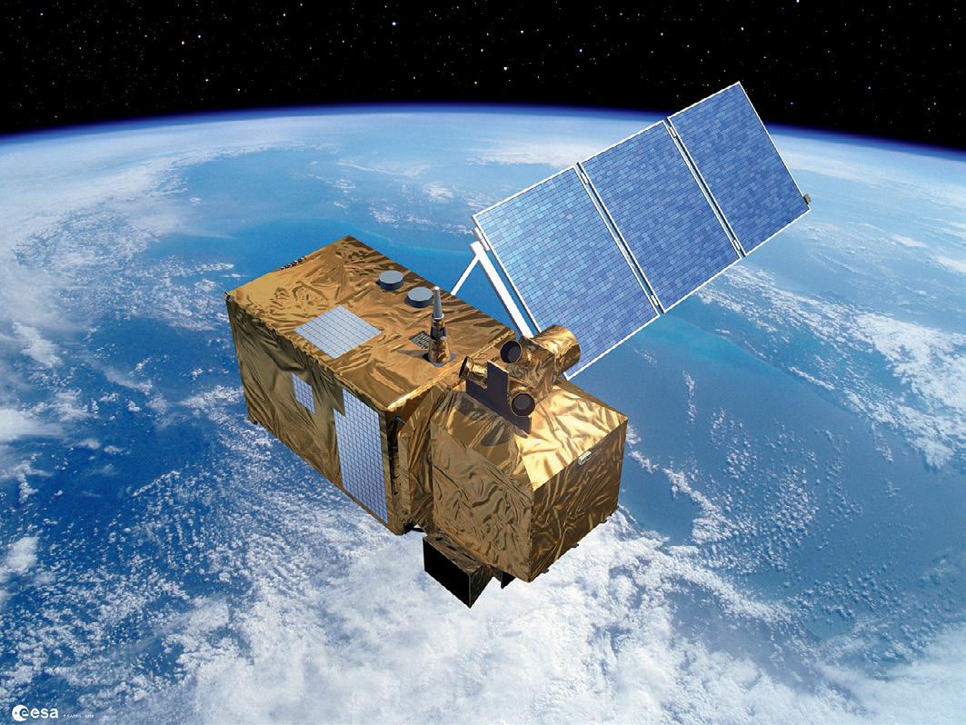
Under the bilateral Space Bridge, Australia’s ground- and space-based water quality monitoring system will also be set up in the UK.
Aversion of Australia’s AquaWatch system will be established in the UK following the confirmation of bilateral support and cofunding from the two countries’ space agencies.
AquaWatch Australia, a national system for monitoring water quality and providing early warning forecasts of problems, was launched in 2023 by the CSIRO and foundational partner SmartSat CRC.
Since launching, AquaWatch has established multiple test sites to monitor bays, coastal wetlands, rivers, dams, lakes, aquaculture farming and coral reefs, including the Southern Great Barrier Reef.
AquaWatch Australia Mission Lead, Dr Alex Held, said AquaWatch integrates data from both a network of water-based sensors and satellite sensors.
“It’s a system we’re developing for Australia, but that can be adapted for other countries in need of national near-real time updates and forecasts,” Dr Held said.
“The importance of highquality satellite data for AquaWatch means that global collaborations such as this help to enhance the system for everyone.”
The formation of AquaWatch UK marks the first time the initiative will be rolled out by another country on a national scale, by expanding on a test site
AquaWatch was announced as a supported project under the UK Space Agency’s International Bilateral Fund, with co-funding from the Australian Space Agency, as part of the longstanding UKAustralia Space Bridge initiative.
Under the Space Bridge, partners will receive funding to advance the AquaWatch system in Australia and establish AquaWatch in the UK.
“By working with our international partners like the UK, we can continue to grow the Australian space sector while delivering outcomes that benefit communities in both of our nations,” said the Head of the Australian Space Agency, Enrico Palermo.
“Projects like AquaWatch reiterate how space technology, like Earth observation, can help address the biggest global challenges we are facing, as well as the power of working together to solve a common problem.”
According to SmartSat Cooperative Research Centre’s CEO, Professor Andy Koronios, SmartSat established strong ties with the UK space industry with the first UK Space Bridge initiative, funding five joint research initiatives in 2021.
“The AquaWatch UK project further underscores SmartSat’s commitment to delivering next-generation technologies and innovative projects that
in both Australia and the UK,” Prof Koronios said.
The lead partner for delivering AquaWatch in the UK will be Surrey Satellite Technology Ltd (SSTL). The company’s Head of Australia business, Clive Oates, said that “Working with CSIRO and SmartSat CRC on a comprehensive spacecraft platform study will also help accelerate Australia’s capability in the design, manufacture and test of Earth observation capabilities across both academia and industry”.
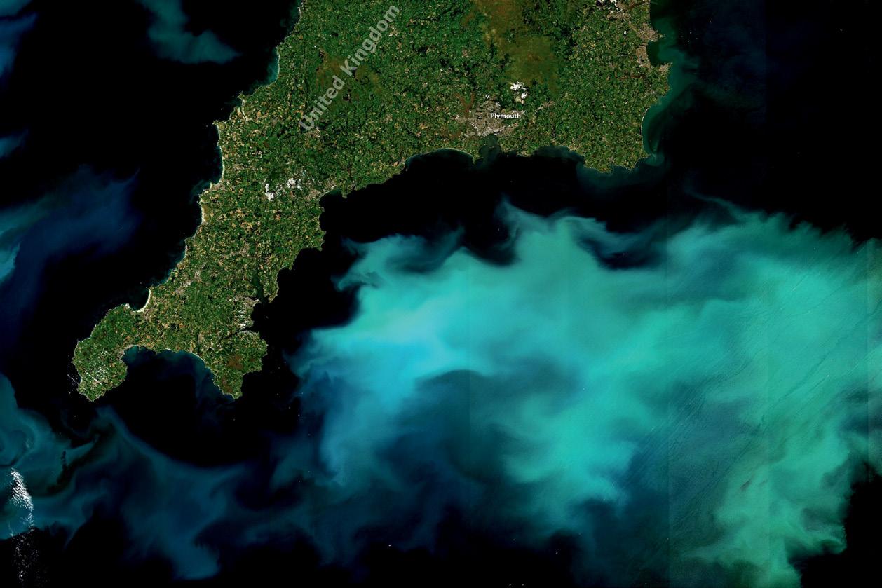
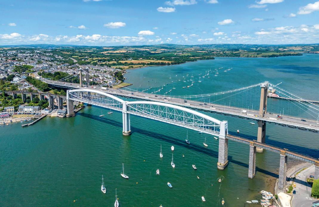
The collaboration will expand on test sites already established across Australia and with Plymouth Marine Laboratory (PML) in the UK, where AquaWatch is being tested to monitor water quality from the Tamar Bridge in Plymouth, Southwest England.
Dr Gavin Tilstone, Merit Scientist at PML and Principal Investigator of EO4Agriclimate Vis4Sea, said that as the planet heats up from global warming, we see increased flooding events.
“Using the AquaWatch infrastructure for Plymouth Sound, Vis4Sea is building a
system to monitor the impacts of flooding on water quality, mud flats and sea grass beds, which play an important role in capturing CO2 from the atmosphere.”
Another EO4Agriclimate project, Living Coasts, is advancing the use of satellite observations to map land and water environments and their dynamics. Living Coasts researcher, Professor Richard Lucas of Aberystwyth University, said this enables AquaWatch users to gain a more complete picture and understanding of changes driving water quality.
“Working with Australian and UK partners, we are implementing our approach through data cubes of satellite data for both countries, but also in other regions including Southeast Asia, with this contributing to efforts focused on improving environments for people and nature,” said Prof Lucas.
In addition to CSIRO, SmartSat CRC and SSTL, AquaWatch AUK is supported by Assimila, RAL Space, Pixalytics and the Centre for Environment, Fisheries and Aquaculture Science (CEFAS). n


Publisher
Simon Cooper
Editor
Jonathan Nally
jnally@intermedia.com.au
National Advertising Manager
Anna Muldrock
amuldrock@intermedia.com.au
Prepress
Tony Willson
Production Manager
Jacqui Cooper
Subscribe
Position is available via subscription. A 12-month subscription (6 issues) is AU$76.00. To subscribe visit spatialsource.com.au/magazine, phone 1800 651 422 or email subscriptions@ intermedia.com.au
Address for mail: 41 Bridge Rd, Glebe NSW 2037. Ph: 02 9660 2113
Position is published six times per year, in February, April, June, August, October and December by The Geospatial Council of Australia. ABN: 22 135 572 815
Reprints from Position are permitted only with the permission of the publisher. In all cases, reprints must be acknowledged as follows: ‘Reprinted with permission from Position Magazine’, and must include the author’s byline.
The opinions expressed in this publication are those of the authors and do not necessarily represent those of the publisher.
Official publication of
Western Australia’s recent announcement of a $140 million, 10-year plan to develop a spatial digital twin for the state was met with delight and applause by the geospatial community. Imagine an entire third of the continent represented digitally, spatially, in 4D (see page 16). Surely, once completed, this will be the largest digital twin in the world?
Yet it won’t be Australia’s first large-scale spatial digital twin, of course. NSW and Victoria are well on the way with their own very impressive programs. It can’t be doubted that the other states and territories will follow in time, and surely, eventually, the country as a whole will one day become digitally twinned.

Australia’s digital twins add to more than 500 others already extant or under development around the globe. This really shows how vitally important geospatial data of all kinds is for the modern world — it is the foundation upon which communities are built, environments protected and lives improved.
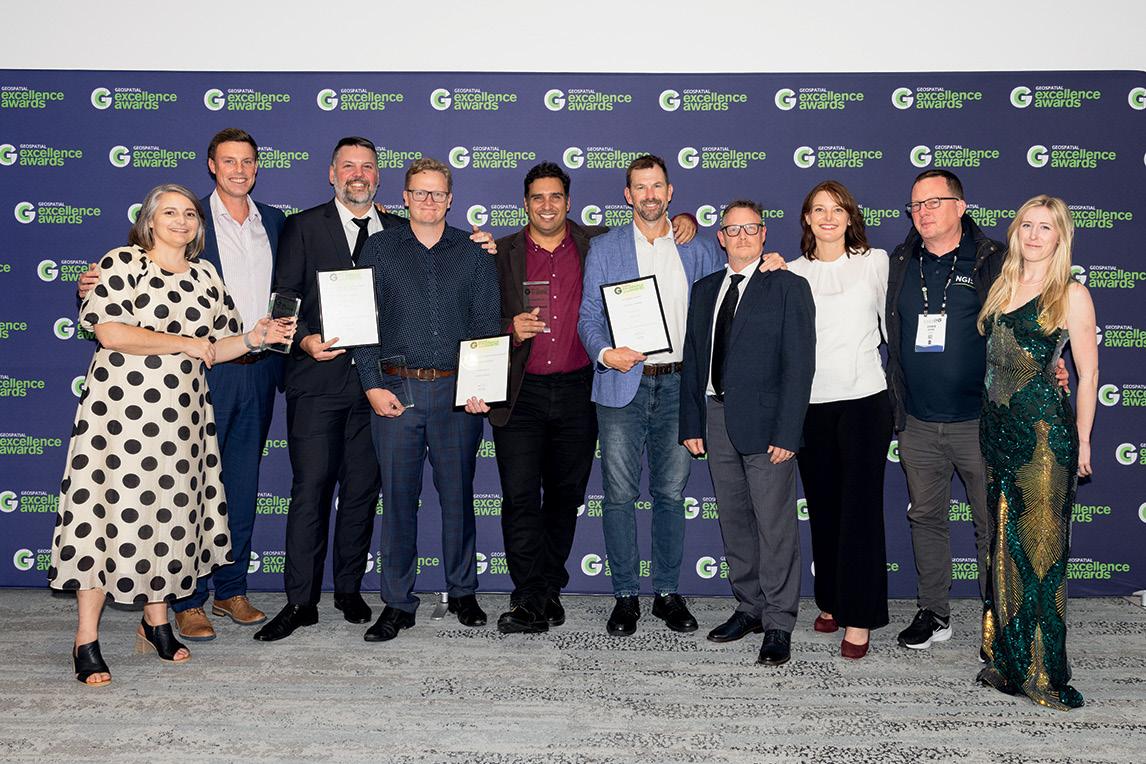
The presentation ceremony for the national annual Geospatial Excellence Awards was held at a gala dinner in Sydney in May as part of the Locate24 conference. Position magazine extends its congratulations to the recipients (see page 22) and finalists, all of whom exemplify what the geospatial community is all about — making a difference, helping one another, and collaborating across divides.
One organisation that is a making a difference is Before You Dig Australia, formerly known as Dial Before You Dig. As BYDA’s CEO, Mell Greenall, explains in this issue’s Q&A (page 14), the not-for-profit organisation is working hard to pull together all the geospatial data needed to ensure that anyone who needs to dig can do so safely without striking potentially dangerous subsurface utilities. It’s also about minimising the cost to the community from disruptions and delays. It’s important work, and BYDA is to be congratulated for being so proactive with its awareness and training programs.
Jonathan Nally
Editor
We take our Corporate and Social Responsibilities seriously and is committed to reducing its impact on the environment. We continuously strive to improve our environmental performance and to initiate additional CSR based projects and activities. As part of our company policy we ensure that the products and services used in the manufacture of this magazine are sourced from environmentally responsible suppliers. This magazine has been printed on paper produced from sustainably sourced wood and pulp fibre and is accredited under PEFC chain of custody.
PEFC certified wood and paper products come from environmentally appropriate, socially beneficial and economically viable management of forests.
View from above — Remote sensing, Earth observation, photogrammetry
The good Earth — Mining, resources, offshore, geology, exploration
Technology — LiDAR, 3D modelling, photogrammetry
Advertising booking date: 4 July 2024
Advertising material date: 9 July 2024
Publication date: 31 July 2024
Position magazine acknowledges the traditional custodians of country across Australia, and we pay our respects to Aboriginal and Torres Strait Islander cultures and to their elders, past, present and emerging.
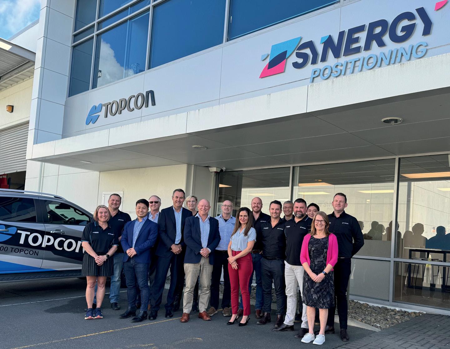
Australian firm Aptella (formerly Position Partners) has expanded its reach within Australia and New Zealand by acquiring Synergy Group’s positioning, rental and equipment businesses in New Zealand and Synergy PaveSmart in Australia.
The agreement makes Aptella the sole distributor for Topcon construction and surveying systems across Australia and New Zealand and extends the company’s road and infrastructure portfolio to include paving consulting services.
“We look forward to welcoming Synergy employees to the Aptella team and working together to provide customers with streamlined, consistent experiences across all countries we do business in,” says Martin Nix, Aptella CEO.
Synergy PaveSmart is a Brisbaneheadquartered paving and asphalt consultancy that offers end-to-end paving technology solutions.
“With a proven track record that spans a large number of projects throughout Australia and New Zealand, the PaveSmart team’s considerable expertise and skillset will complement our consulting services business and offer customers a comprehensive solution portfolio for infrastructure projects,” added Nix.
In New Zealand, Aptella is taking over the assets of Synergy Positioning for
the distribution and support of Topcon, Steelwrist and other related construction and surveying solutions. Synergy Positioning will continue to distribute laser scanning and additive manufacturing products.
“Our New Zealand customers can access the full range of Topcon and Sokkia instruments for their positioning and machine control needs, along with other leading innovations from our supply partners around the world,” said Nix.
“The combined expertise and local know-how of our employees will give our customers access to a large network of capable people that can support their projects, whether in the field or digitally using our unique remote access technology.”
Synergy Group Founder and CEO, Mike Milne, said that “Our valued Topcon and Steelwrist customers will be in good hands
Geospatial industry veteran, Glenn Cockerton, has stepped down from his position of CEO of Spatial Vision having spent 24 years leading the innovative Australian company. Spatial Vision has appointed Cameron Selkrig as its new CEO, effective as of 1 May 2024.
Selkrig comes to the role having spent more than 20 years in the IT, technology commercialisation and consulting fields, including in leadership positions at prominent companies servicing government and enterprise.
“I am honoured to be chosen as the CEO of Spatial Vision, a company with a remarkable history of delivering excellence to its customers and making a positive impact across many sectors,” said Selkrig. “Together, we will build on this strong foundation, capitalise on new opportunities, and chart a path of sustained success.”
Cockerton, who will continue as the Chairman of Spatial Vision’s Board, said “We are thrilled to welcome Cameron as our new CEO,” adding that “His outstanding leadership and expertise will be invaluable in guiding Spatial Vision through its next phase of growth and development.”.
with Aptella, with continuity of local service and support in New Zealand and the dedicated paving team in Australia.”
Aptella supports the civil construction, building, mining, geospatial and related industries with a wide range of positioning and automation solutions to enable customers to capture reality and bring digital designs to life in the built environment. When the company announced its rebrand in December 2023, it said it was doing so to better reflect the entirety of its intelligent positioning and automation offerings.
Aptella is majority owned by global Japanese firm, Mitsui & Co. Ltd. Aptella’s expansion with the acquisition of Synergy Positioning and Synergy PaveSmart, is in alignment with Mitsui’s strategy of digital transformation across multiple sectors.

Spatial Vision was established in June 1999 by five founding staff with the assistance of RMIT University. Cockerton, who was appointed the company’s inaugural Chief Executive in 2000, has held numerous senior positions with industry associations

and committees. He served multiple terms as a Board member of the Spatial Industries Business Association (SIBA), including as Chair during 2015 and 2016, and was co-Chair of the leadership group that was responsible for the highly regarded 2026 Spatial Industry Transformation and Growth Agenda launched in April 2017.
Cockerton was also a member of the Victorian Spatial Council for over four and half years, and the recipient of the Surveying and Spatial Science Institute’s (now Geospatial Council of Australia) Victorian Spatial Professional of the Year Award in 2007.
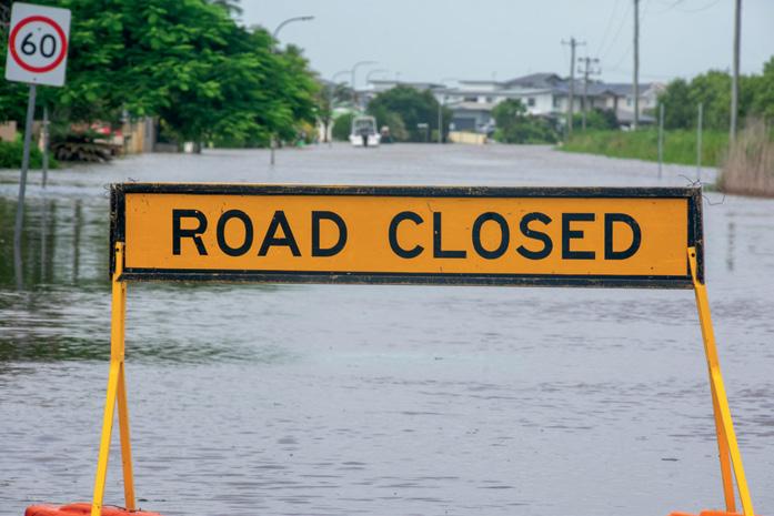
The NSW Spatial Digital Twin is to play a lead role in a trial aimed at protecting communities during severe weather events such as floods.
The Flood and Storm Intelligence Sensing trial will measure the propagation of radio signals across the mobile phone network — which can be affected by rainfall — and use that data to infer real-time conditions such as rainfall intensity, water levels and river flows.
That data will then be combined with historical Bureau of Meteorology data and flood information, as well as landslide data, before being presented as 4D visualisations through the NSW Spatial Digital Twin (SDT).
The visualisations will be used to not only show how the weather conditions might affect the landscape and built environment, but also to conduct insightful analytics via artificial intelligence.
The project is funded through Transport for NSW’s Smart Places Acceleration Program, overseen by the Department of Customer Service, and builds on cross-agency work on improving flood warnings and the State Disaster Mitigation Plan.
“Researching this technology is an opportunity to pioneer a new era of flood and storm intelligence,” said the NSW Minister for Customer Service and Digital Government, Jihad Dib. “The new technology will improve data-driven decision-making for first responders, filling an information gap that could make an important difference in emergency situations.”
The trial will see the NSW State Emergency Service (SES) partnering with researchers from the University of Technology Sydney (UTS) and TPG Telecom to develop and test the sensing technology. It will be the centrepiece project of the newly opened UTS-TPG Network Sensing Lab.
Testing has already begun on the Parramatta and Georges Rivers in Sydney.
“The real-time delivery of localised data from this new technology, and its capability to visualise the impacts of floods, could be applied to decisions relating to deployment of assets and personnel, warnings, evacuations, property protection, resupply and the provision of information and advice to community members,” said NSW SES Commissioner, Carlene York.
Well-known Australian hydrospatial solutions business, Precision Hydrographic Services (PHS), has announced that it has been acquired by Revelare, which describes itself as “the only 100% Australian owned full-service spatial intelligence company”.
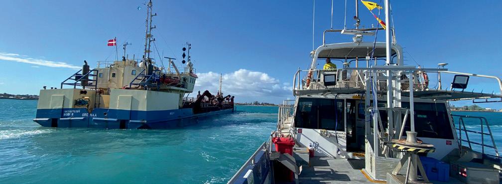
PHS Managing Director, Neil Hewitt, said the move presents an opportunity for the company to continue its trajectory of growth and innovation and explore new opportunities in the hydrospatial sector, such as in defence and offshore renewables.
“PHS has grown rapidly over the past 5 years and this move delivers broader management support without significant change to the current structure of the business,” he said. “With the support of Revelare’s resources and expertise, we are
well-positioned to explore new opportunities within the hydrospatial sector and enhance our service delivery for our valued clients.”
“This partnership aligns with our strategic vision of fostering Australianowned expertise and strengthening our presence in key sectors,” said Revelare CEO, David Donohue. “Together, we look forward to driving innovation and excellence in hydrospatial solutions.”
PHS will operate under the interim brand ‘PHS, a Revelare Company,’ before transitioning to the subsidiary brand Revelare Hydrospatial in the middle of 2026.
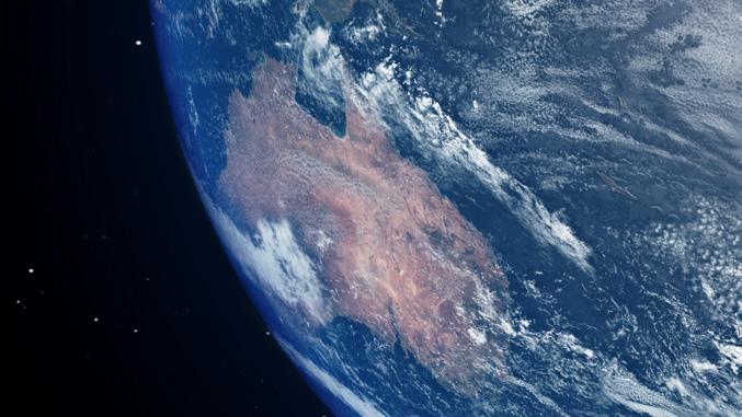
A new report details the widespread use of Earth observation (EO) applications and services across government, research and commercial sectors in Australia, and highlights the significant vulnerabilities the nation faces by being reliant on the receipt of EO data from foreign sources.
The report, Continuity of Earth Observation Data for Australia: Risks, has been produced by Earth Observation Australia, the University of Queensland and Symbios.
Although it goes largely unnoticed by most people, EO plays a crucial role in almost all aspects of Australian society and industry. But as the report states: “All of the satellite EO data utilised by Australia originates from foreign sources within all sectors — government, research, and commercial. Currently most of the key data sources — importantly, free and open sources — are without binding data supply agreements to support supply risk management and mitigation. This includes foundational data supply from the Landsat program (USA/USGS, NASA), the Copernicus program (European Commission), and from various foreign weather satellite operators.”
The report goes on to say that “The foreign dependence and ownership of EO infrastructure presents significant risks for Australia at the time of this report. These risks warrant assessment and tracking to determine any changes in the associated risk levels into the future.”
Thirty-nine risks are identified and
©stock.adobe.com/au/immimagery
analysed in terms of their importance to the Australian economy and international relations. Of those 39, six are rated as having a ‘very high’ potential impact based on their likelihood and consequences, while 32 of the 39 are rated between having ‘possible’ and ‘almost certain’ affects.
In terms of government satellite EO data usage, the report identified 171 federal, state and territory government programs dependent upon it. Yet “Almost all of Australia’s EO data supply is subject to decisions taken by foreign governments around open and free data supply…,” the report says.
As Position reported last year, the federal government had previously committed to a $1.2 billion National Space Mission for Earth Observation that would have seen four Australian-owned EO satellites placed into orbit. But that program was cancelled without warning in early 2023.
Earlier this year, the government made a $207.4 million commitment over four years to join the Landsat 2030 International Partnerships Initiative to take advantage of the next generation of Landsat EO satellites, called Landsat Next.
Digital Earth Australia (DEA) has released a new product suite called DEA Intertidal, which aims to help users visualise and study the boundary zone between sea and land and map it in multiple dimensions.
DEA Intertidal — the first DEA product to incorporate Landsat and Sentinel-2 data — provides an annual 10-metre resolution elevation product for mapping the changing elevation, exposure and tidal characteristics of Australia’s exposed intertidal zone.
“Our latest product suite adds a temporal component to the elevation product for the intertidal zone,” said Stephen Sagar, manager of the Coastal Environments team in DEA. “That means DEA Intertidal will enable users to better monitor and understand some of the most dynamic regions of Australia’s coastlines.”
DEA Intertidal builds upon and supersedes earlier iterations of DEA intertidal products, such as the DEA Intertidal Elevation Model (also known as the National Intertidal Digital Elevation Model or NIDEM), which was the first 3D model of the nation’s intertidal zone.
The new product suite covers the whole continent and will enable researchers and environment managers to, for instance, integrate data into ecological models of relevance to the study of migratory birds, many of which make ‘stopovers’ on intertidal mudflats.
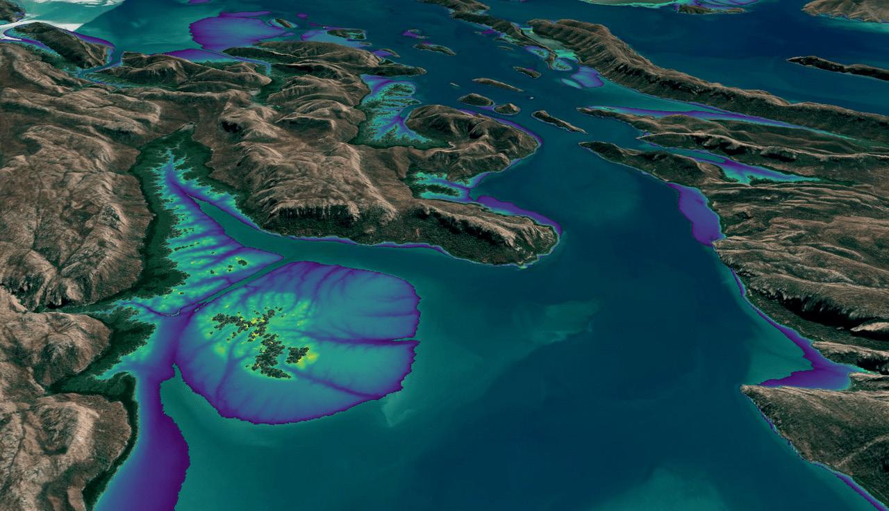
“Intertidal environments are diverse and contain many important ecological habitats such as sandy beaches, tidal flats, rocky shores and reefs,” said Claire Phillips, co-lead of the project, who noted that those environments also provide valuable benefits such as carbon storage.
Improvements over the earlier NIDEM include:
• The addition of Sentinel-2 data which improves the spatial resolution of the model to 10 metres, compared to the 25 metres of the original NIDEM.
• Incorporation of a new pixel-based method that supports a reduction in the temporal epoch of the product to
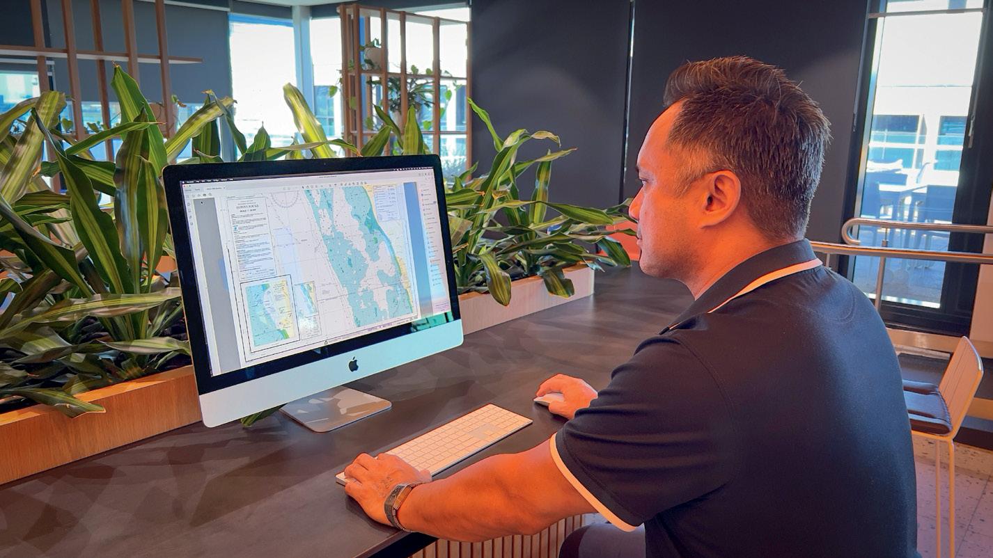
The navigation chart for Quinns Rocks in Perth has become the first to be converted to a new digital format under the WA Department of Transport’s (DoT) digital transformation of its nautical chart series. The previous manually produced chart for Quinns Rocks was last re-issued in 2011.
The development comes after the successful completion of a pilot program,
paving the way for more frequent updates of the state’s nautical charts and for future online interactive maps.
“The most beneficial change is the speed at which we can update a digital format chart; previously it took up to six months for a full chart revision, but now it will only take a couple of weeks, meaning skippers will have access to more up-to-
3 years (in comparison to 28 years in NIDEM), improving the ability to capture the current state of dynamic coastal environments, and enabling ‘change-overtime’ applications using annual epochs.
• Quantification of the vertical uncertainty of the elevation model.
• An Intertidal Exposure model at 10-metre resolution to examine the spatiotemporal patterns of exposure and inundation across the intertidal zone, supporting migratory species studies and habitat mapping applications. You can view a DEA Intertidal online interactive map at maps.dea.ga.gov.au/ story/DEAIntertidal.
date information more often, significantly enhancing safety on the water,” said DoT Maritime Executive Director, Chris Mather.
The pilot digital program was the key recommendation of a review of the production and distribution of DoT’s nautical charts to provide a plan to best meet the future needs of the State’s boating community.
“This initial success lays the foundation for the conversion of the remaining 57 nautical charts for waters off the WA coastline and the future release of webdelivered dynamic maps with the most up-to-date information to keep mariners safe,” said Mather. “Significant work is involved in transforming DoT’s entire library of charts to the new format. DoT will soon begin work on the conversion of the neighbouring chart for waters off Trigg Beach, then move to areas where there have been recent changes to the sea floor such as Carnarvon.”
DoT-produced nautical charts are available for a large portion of the WA coastline and are free to download.

It is now three years since the South Australian surveying industry moved to lodging survey plans in a digital data format, commonly known as Digital Plan Lodgement (DPL).
“I am pleased to acknowledge the way in which the industry has embraced this new solution and the positive feedback received to date,” said Bradley Slape, SA’s SurveyorGeneral, in an email update sent in April.
One of the fundamental principles of DPL is the lodgement of digital data as linework along with other attributes, and subsequently converting this data into an annotated plan image.
The federal government has announced a $566.1 million, ten-year investment to identify new deposits of minerals and sources of energy to help build its Future Made in Australia agenda. The funding, which will commence in the 2024–25 financial year, will be used to produce data, maps and other tools for use by the resources industry.
According to the government, the effort, to be led by Geoscience Australia, will “deploy Australia’s top geoscientists to fully map Australian resources that will power our future, help us make more here at home, and create good secure jobs now and for the next generation”.
“The road to net zero runs through Australia’s resources sector,” said the federal Minister for Resources, Madeleine King. “This funding will ensure we can draw the map for our resources companies to find the minerals we need to drive our economy and build the technology we need to reduce emissions.”
Under the Resourcing Australia’s Prosperity program, offshore areas will be mapped as well, with an eye towards identifying sites for carbon capture and storage and for clean hydrogen projects.
According to the government, ‘precompetitive geoscience’ is the key to the strength of Australia’s resources sector,

with Geoscience Australia’s precompetitive data program already leading to major discoveries such as new deposits of critical minerals and rare earths.
©stock.adobe.com/au/andy_di ©stock.adobe.com/au/Jandrie
“To assist industry with the transition to DPL, a flexible approach to the condition of the digital data was adopted by Land Services SA (LSSA). Where appropriate, LSSA have corrected the digital line work post lodgement to improve the condition of the data. With DPL now well established, I encourage lodging parties to provide correct and complete digital data,” said Slape.
“In the coming months, you may notice an increase in requisitions relating to the presentation, quality and completeness of your lodged digital data,” he added. “This is an important step in improving the data quality and the digital data transformation, which ultimately improves the cadastre for the South Australian community.”
A range of video tutorials and support materials are available on the LSSA’s Industry Education Hub, and LSSA will hold DPL refresher training sessions in the coming months. Questions about DPL can be sent to dpl@landservices.com.au.
Deloitte Access Economics research has found that existing public precompetitive geoscience was estimated to have supported $76 billion of value added to the Australian economy and 80,000 full-time equivalent jobs in 2021–22 alone.
The funding announcement has been welcomed by the Australian Academy of Science, but the peak body has warned that the program “will require new scientific knowledge, data analysing capacity, tools and skills”.
“But this must be supported by investments in building a stronger workforce,” said the Chair of the Academy’s National Committee for Earth Sciences, Professor Ian Jackson. “Existing gaps must be reversed if we are to extract full value from the opportunities we have,” he said.
Nominations are now open for the 2024 Survey and Spatial New Zealand (S+SNZ) Awards, which recognise excellence and outstanding achievements by S+SNZ members. The award categories include:
• Bogle Young Professional of the Year Award
• Project Excellence Award
• Member’s Choice Award
• CSNZ Employer Excellence Award

• Cadastral Survey of the Year Award
• McRae Supreme Award
• Professional Excellence Award, in a number of topic streams
Nominations close on 21 June 2024, and the winners will be announced at the S+SNZ Annual Conference in Napier on 29 August 2024.
Meanwhile, entries have also opened for the Association of Local Government Information Management’s (ALGIM) annual awards, which include three geospatial categories. ALGIM is a New Zealand body representing professionals working in traditional IT roles, IT infrastructure, web and digital,
information and records management, customer service and GIS.
The three geospatial award categories are:
• Project of the Year
• Professional Excellence Team of the Year
• Training and development grant Geospatial professionals are also eligible to submit entries for the Collaboration Excellence Award and the Jim Higgins Leadership Award. Full details are available on the ALGIM Awards website. The closing date is 20 September 2024.
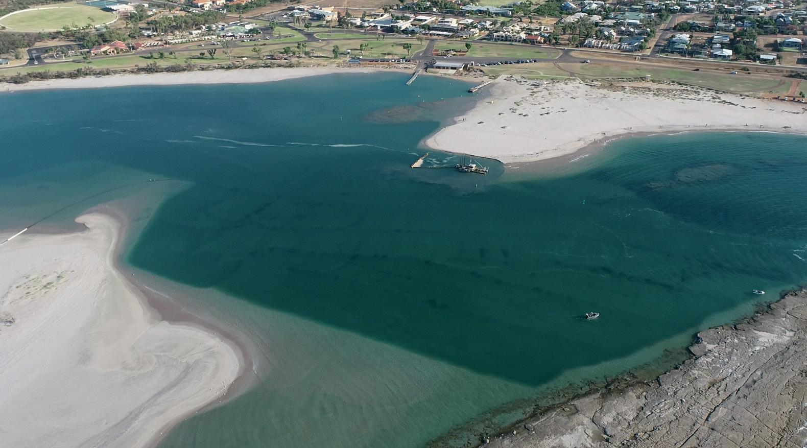
Biennial maintenance dredging has begun at the mouth of the Murchison River in Kalbarri, Western Australia, after hydrographic surveying revealed that the channel width had more than halved in the past year.
WA Department of Transport (DoT) A/ Manager Asset Management, Sam Mettam, said the survey had shown that the channel had narrowed by about 60 metres in the past 12 months, down from 100 metres to around 40 metres.
“A $1.6 million dredging campaign during the next four months will see about 45,000 cubic metres of material removed to reinstate the original 140-metre channel width to ensure safe navigation until the
Maria MacNamara has become CEO of the Space Industry Association of Australia (SIAA), replacing James Brown who, last October, had indicated his intention to step down.
MacNamara has wide experience in the technology sector and has served in many senior roles. She is a member of the Serco Asia Pacific Advisory Board and the Western Sydney University Infrastructure Committee and is an Industry Fellow of the University of Technology, Sydney. She comes to the SIAA having most recently served as Director of Government Affairs and Innovation Strategy at global ICT infrastructure company, Kyndryl.
next campaign, due in 2026,” Mettam said.
Two years ago, the DoT fast-tracked the dredging campaign and extracted a record 95,000 cubic metres of material after a severe winter combined with the impacts of Cyclone Seroja resulted in concerning levels of infilling, making navigation dangerous.

“At DoT we are constantly working to make waterways safer and this project will deliver a wider passage for both commercial and recreational skippers through what are known to be treacherous waters in poor conditions,” Mettam said.
The dredged material will be pumped approximately one kilometre north of the river mouth.

“Maria has been at the centre of Australia’s innovation and entrepreneurship ecosystem for many years and is a respected transformational leader who brings 35 years of experience across membership organisations, the public sector and global ICT,” said SIAA’s Executive Chairman, Jeremy Hallett. “The eyes of the world are on Australia as we enter our next growth phase in space and prepare to deliver the 76th International Astronautical Congress in Sydney in 2025, and Maria is the right leader for SIAA during this transformational period.”
“I want to acknowledge the tremendous work done by the leaders who came before me to establish SIAA as the leading voice for the space industry in Australia,” said MacNamara. “I am honoured to join an organisation that has the power to shape Australia into a true space-faring nation.”
“I am excited to collaborate with the Space Industry Association of Australia members, our public and private partners, and the SIAA team to leverage this valuable asset and contribute to the expansion of Australia’s share in the global space economy.”
The Survey Association (TSA), the UK’s professional body for land and hydrographic surveyors, has announced the election of its new president, Claire Fenwick.
Fenwick is Managing Director of surveying company, Spatial Dimensions. Having trained as a geomatics surveyor and quickly progressing from trainee to senior surveyor with one of the UK’s leading survey companies, Fenwick branched out as a freelancer before founding Spatial Dimensions in 2012.
A recipient of the Kent Women in Construction Award, Fenwick speaks regularly at local schools and colleges on the topic of careers in construction, and actively promotes careers in the built environment for women.
“I am privileged to be TSA President. I firmly believe in the benefits of sharing knowledge and upholding standards, which are key to TSA’s role in the everchanging world of geomatics,” said Fenwick. “I hope to contribute and have a positive impact with this, helping TSA, other companies and individuals to attain standards set and mark the way for whatever future technology holds for us.”
“Every President brings something new to Council and I am delighted that Claire will take the reins as the next President of TSA,” said TSA’s CEO, Rachel Tyrrell. “Her career path is truly inspirational and she brings with her a wealth of experience and a fresh approach to leadership. This new chapter for TSA promises an exciting journey for our membership.”
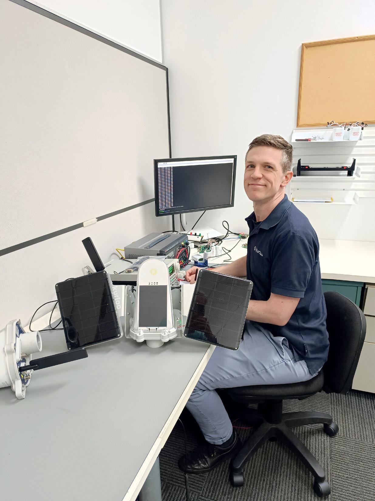
Kurloo has introduced the ‘Kurloo Wing’ solar power system to enhance position monitoring performance.
In the ever-evolving landscape of geospatial technology, one company continues to soar above the rest with its commitment to innovation and excellence. Kurloo, a pioneer in position monitoring solutions, is set to revolutionise the industry once again with the launch of its latest innovation, ‘Kurloo Wing’. In June, Kurloo celebrates another remarkable milestone as this product extension becomes available for order, igniting excitement and anticipation among industry enthusiasts.
Founded in collaboration with Queensland University of Technology (QUT) in Brisbane, Kurloo has been at the forefront of technological advancement since its inception. Led by founder and CEO Lee Hellen, Kurloo has consistently pushed the boundaries of what is possible, leveraging cutting-edge research and expertise to deliver solutions that meet the evolving needs of the industry.
A creation of Kurloo’s team of expert engineers and product managers, the Kurloo Wing represents a significant leap forward in position monitoring capability. Designed to enhance endurance and versatility, the Wing is poised to redefine the standards for
Kurloo Wings are modular solar panels that attach to the mounting

The introduction of the Kurloo Wing marks a significant milestone for the company and the industry as a whole. As the demand for accurate and reliable position monitoring continues to grow, Kurloo remains committed to pushing the boundaries of innovation to meet the needs of its customers.
“At Kurloo, we believe in pushing the limits of what is possible. With the Kurloo Wing, we are proud to continue our tradition of innovation and leadership in the field of geospatial technology,” said Lee Hellen. “We are excited to see the impact that this groundbreaking technology will have on our customers and the industry as a whole both locally and internationally.”
Curious about the Kurloo Wing? Contact Kurloo or book a call to discover how its innovative solutions can revolutionise your position monitoring needs. Visit Kurloo.io today for more information. n

BY JONATHAN NALLY
Before You Dig Australia’s CEO is on a mission to save lives and protect underground infrastructure from harm.
enerations of Australians have known of an organisation called Dial Before You Dig, a group of six state-based not-for-profit organisations that enabled anyone from homeowners to infrastructure companies to phone up and find out what was underground before lifting a shovel or firing up a backhoe. A couple of years ago the entities merged and the name was changed to Before You Dig Australia (BYDA, pronounced BIE-duh) to reflect that the service is now primarily all online and because, as CEO Mell Greenall says, “There’s a whole generation out there that’s never even heard of a dial tone”.
Tell us about BYDA and your role in it.
I was brought in to help run the merger of the six state-based Dial Before You Dig businesses. The
industry had said it wanted to deal with a single entity, a national organisation that could provide one voice for damage prevention here in Australia. So we ran through that merger process and we launched as Before You Dig Australia (byda.com.au) on the 1st of July in 2022. Our strategy over the next five years is to become the single voice of damage prevention and safe work near utilities here in Australia.
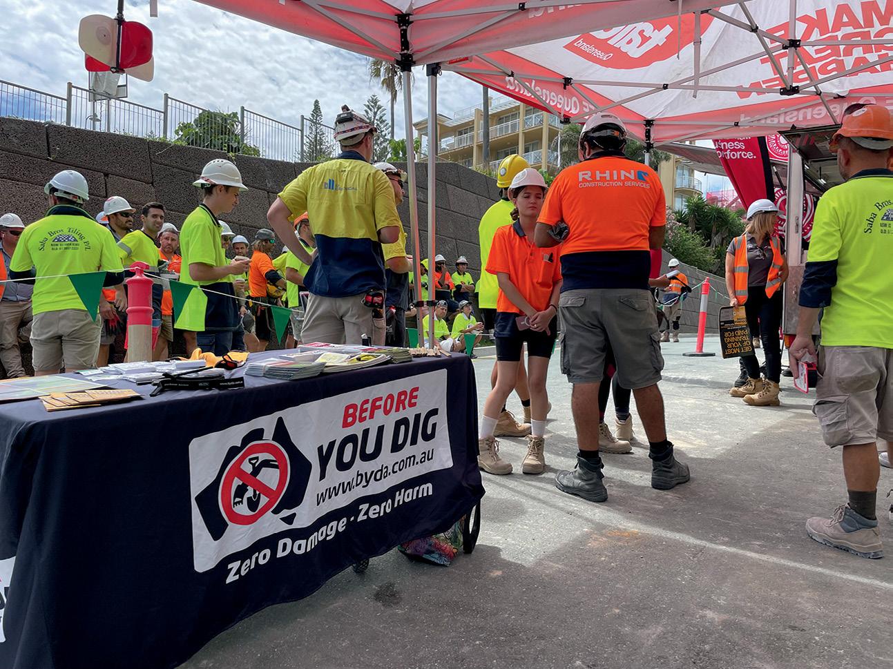
We’re moving much more into online interactive processes, so for us it was really important to have a name that envisioned all of what we do… because we don’t just do the referral service, we do a lot in education and community engagement. We do a lot of work with regulators around safe work practises. Since 1 July 2023 we have delivered about 750 ‘toolbox talks’ around the country with construction crews, council work crews and TAFE students, around risk mitigation when working near utilities.
We’re still a not-for-profit, funded by industry for industry. The utility sector funds us to provide that plan exchange service and then to also now grow into all of the other spaces that we play in. We take our role as a safety partner very seriously not only for the utilities who fund us, but also for the broader industry at large — we process over 10,000 plan requests a day.
Yes, but we’re starting to see a much broader use of the information that we can provide. So for example in Tasmania we do indigenous cultural overlay — if you submit a plan with us, it’ll trigger a response to say that you’re near a culturally sensitive area and there are permit processes you need to go through.
Here in Melbourne, we do ‘trees of significance’ with Melbourne City Council. When people are working, they need to know if a tree is protected so that they don’t damage the root systems. We’re also looking at how we can work with the Queensland Government
“We need to create an environment of sharing, a circular economy of the information that’s being generated.”
for fire ant notices. So really our service can provide all sorts of information to ensure people are working safely and efficiently.
There’s also an above-ground infrastructure app called ‘Look Up and Live’ that some of your readers might be familiar with that’s coming to join the BYDA family and become a national tool. We’re just doing the groundwork now to pull it into our ecosystem. So that will then make us the holistic partner for industry, protecting both above- and underground infrastructure Australia-wide.
The utilities still own all of the data that they send through. When someone lodges a plan request, it’ll trigger an API process to talk to the utilities’ GIS systems and then we pull that data back through. We don’t host any of the data directly.
Some of your readers will remember ‘email hell’. You would do a plan request for inner city Sydney, for example, and you might get 14 emails back from the utilities with 20-odd attachments — upwards of 160 pages of stuff. So in March we launched our collated response viewer — you basically get a link back to the portal and everything’s there on the one screen; a single PDF pack that you can share across team members.
Being reliant on the old school kind of PDF or printable map just doesn’t cut the mustard anymore with the time pressures and the skill shortages the construction sector’s facing. So we do need to work together and with government to provide the appropriate regulatory reform to allow this to happen. One of the barriers is the Security of Critical Infrastructure Act (SOCI) and the foreign Investment Review Board, which has really stalled, if not completely stunted, digital innovation when it comes to location asset plans. Because it’s made industry very, very nervous that they’re going to be in breach of that act if they provide digital asset location.
We can see that SOCI was absolutely, genuinely created for a great reason around protecting Australia from cyber terrorism. But the reality is our network integrity is under greater threat every day from the ‘accidental terrorists’ as I call them, on an excavator or shovel, causing damage to the network. For 2023 we’re just collating the third-party strikes, but currently it looks like we’re going to sit at about 20,000 recorded damages to Australia’s infrastructure in one

strikes.
year. And that’s ridiculously underreported — it’s probably only a third of what genuinely went on. And if you use the UK study from Birmingham in 2017 where the ratio is 1 to 29 — so for every dollar spent on a utility repair, it equates to a $29 cost to community — well, in Australia, if I use those stats, that’s nearly a $4 billion problem every year.
If everyone used BYDA, would it eliminate those strikes?
No, things can still go wrong during a job, but absolutely we would see a reduction. Our plans go out at AS5488 quality level D, so it’s the lowest quality plan you’re going to get. But it does indicate the presence of a network, so at least you know you should be then doing further risk assessments, pot holing etc on site.
If I could get those plans to quality level B and we could move to greater digital, particularly for the credentialed construction industry, I think we could reduce strikes by a third because they’d be working off betterquality data from day one.
What can be done about it?
There’s sort of been no real motivator, and this is also one of the challenges around moving to digital — there’s been no real momentum to capture that data better. I say this tongue in cheek, but we’ve normalised inefficiency. We know that there’s fantastic data out there, we’ve got surveyors doing quality drawings, we’ve got as-built engineering drawings for new project work and the kilometres of new infrastructure being laid every day. But generally, those as-builts, those engineering drawings, don’t make it back to the utilities to get up updated in their system. There’s no impetus to require it. And also AS5488, which we so heavily rely on for our utility planning and mark-ups, doesn’t quite cover the use of third party or digital data. So it needs to be updated to recognise that we’re moving into a more digital environment.
We need to create an environment of sharing, a circular economy of the information that’s being generated and make sure that it can be fed back through to the utility GIS systems, and then making sure that we can then push that out through the BYDA server so that over time we can lift the quality of the plans and support safer outcomes out on job sites.
I do think BYDA has the capacity to grow to be that digital twin for the utility infrastructure in Australia. But the issue we have here is the regulatory reform piece — when we have tensions between federal acts sitting over the top that are prohibiting digital innovation and the ability to grow that digital twin, we’re never going to get there. We need to find a way to recognise that our construction sector deserves better and we should be supporting them, particularly when every Minister in this country at the moment is talking about productivity gains, inflationary costs, supply chain issues and skill shortages.
Yet here we are, still forcing this circular economy of inefficiency when it comes to project planning around utilities. So we need to do better, and I genuinely believe it is going to take a government approach to support us to get there. And that’s then going to require supporting the utilities to fund and resource the uplift in the quality of their utility infrastructure GIS plans and then educate the construction sector. That’s also going to mean a common schematic across the country — we have 700 utility members and I’ll guarantee you they’re all using 700 different versions of base maps.
But there are some excellent examples. In New Zealand, the City of Wellington has done a digital twin and it’s fantastic. The credentialed construction sector can jump in and look at the utility plans for road repairs, road installations etc. So it can be done. We just need to create the environment for Australia to keep up. n
BY JONATHAN NALLY
Western Australia’s Advanced Spatial Digital Twin will see an entire third of the continent replicated in spatially accurate 4D.

©stock.adobe.com/au/ink drop
The Government of Western Australia made headlines a couple of months ago when it announced the establishment of the $140 million Spatial WA program and its aim to deliver for Western Australia an Advanced Spatial Digital Twin (ASDT). The ASDT will be a spatially accurate 4D virtual representation of the built and natural environment.
Think about that. That’s the entire western third of Australia turned into a spatial digital twin. It’s a mammoth job that is being led by the Western Australian Land Information Authority, which is more commonly known as Landgate.
Not a lot of information about Spatial WA has been released publicly yet, so we reached out to Landgate with some questions and a request for more detail about the project. The
following are the responses we received from a Landgate spokesperson.
Are Spatial WA and the ASDT different names for the same thing?
Spatial WA is the program of work that will deliver Western Australia an Advanced Spatial Digital Twin. The ASDT will provide Government a new digital capability that will deliver a digital, spatially accurate representation of WA’s built and natural environments.
Led by Landgate, Spatial WA has been developed in consultation with more than 30 government agencies, highlighting the need to better leverage spatial and nonspatial digital data to support government priorities.
“Central to our approach is changing behaviours to recognise the value of digital ‘spatial’ data and ensuring we are not pigeonholed as a ‘GIS’ platform.”
Landgate spokesperson
The ASDT will maximise the value of the state’s data by creating a spatially accurate 4D virtual representation of the built and natural environment, supporting key government priorities around infrastructure delivery, planning reforms and emergency preparedness.
The ASDT will be made up of two technology platforms.
The first is the Next Generation Spatial Cadastre, which will provide the technology to uplift the state’s current 2D spatial cadastre to maintain property rights, restrictions and responsibilities in 3D/4D across government.
The second is the Spatial Digital Twin, which will provide a digital, spatially accurate representation of the built and natural environment with the capability to share, discover, visualise and analyse data about a place at a specific time.
Importantly, Spatial WA will be enabled through a separate stream of work focussed on data modernisation, to ensure that the required data is captured, maintained and accessible through the ASDT, meeting the needs of end users.
How long has this project been in the works?
Landgate commenced investigations in 2019 into the development of this new digital capability.
From these investigations, the need emerged for a whole of government platform with advanced capabilities to enable government to better collaborate, analyse data, streamline workflows and run scenarios supporting planning, projects and investment decisions.
$12.4 million was secured in the 2023-24 state budget. Does the newly announced $140 million include this amount?
Yes. In the 2023–24 State budget, Spatial WA was endorsed and we received the first year of funding to begin the Spatial WA journey. A condition of the funding was to develop a comprehensive Project Definition Plan (PDP), validating our approach to delivering Spatial WA, providing confidence to government on this significant investment. This is a significant investment into advancing digital capabilities through a spatial digital twin platform in Australia, and since the development of the PDP we have secured the remaining funding for the program and have started working with our partner agencies in the delivery of the ASDT.
Are you able to give a timeline for the project?
Spatial WA will be delivered across two Horizons.
Horizon One will focus on the delivery
of four priority use cases for government that will demonstrate the benefits and value of an ASDT to Western Australia. Within this Horizon, significant investment will be directed toward having skilled people engaged in the program to lead the delivery of the use cases, and, importantly, there are several data roles that will work with our partner agencies to uplift data from a 2D to 3D/4D. The Data Management Framework we are developing will be a cornerstone for the program as it sets the foundation to ensure data is appropriately managed across its lifecycle and is fit for purpose for the priority use cases.
The technical capability for Spatial WA will be implemented in Horizon One, the initial five years of the program, and our criteria for success will be based on demonstrating the desired outcomes of the four priority use cases and realising the benefits for government.
Those priority use cases are:

• Infrastructure projects and asset management.
• Digital approval workflows for development application referrals.
• Coordinated management of administrative land boundaries.
• Exposure modelling for emergency management.
Horizon Two will see Spatial WA scale and expand its use across government and provide opportunities for use by the public and private sector.
Spatial WA is to be ‘whole of government’. Does this include local government?
Several of our priority use cases will need to work with local governments to ensure they have the tools and data needed to support their operations. Importantly, the state can streamline access to data, especially where the state and local governments need to collaborate (for example, digital approval workflows deal with land development involving many stakeholders).
Once these priority use cases have been delivered, Spatial WA will scale and expand to enable the public and private sector to use the ASDT, becoming a single location to discover, access and use government data.
Will the work be done inhouse, or will solution providers be engaged too?
Spatial WA is a government-led program, meaning the development and management of the program is directed by a dedicated team working in collaboration with Landgate and more than 30 government agencies.
We currently have an active tender in the market to develop and implement the two technology platforms required — the
Once the tender is awarded, the successful applicant will work hand-inglove with the broader Spatial WA team as we venture towards delivering the ASDT.
What are some the known challenges you’re going to face?
Navigating the challenges ahead requires a holistic approach that addresses both technological and cultural shifts. We have been steadfast on not wanting to deliver a ‘proof of concept’ for WA. We know the technology exists; there are countless examples around the world with over 500 governments using these types of technologies.
Central to our approach is changing behaviours to recognise the value of digital ‘spatial’ data and ensuring we are not pigeonholed as a ‘GIS’ platform. The scale of change required and a focus on having a framework to capture, manage and use digital data requires people to be engaged at all levels.
Does the data for the ASDT already exist and just it’s a matter of bringing it all together?
Much of the data exists across government and the Spatial WA program is replacing two legacy systems. We need to work across our partner agencies to access the wealth of ‘other data’ that is captured through separate procurement processes and is isolated and locked away but required for our priority use cases. This means the program will actively work with data custodians to improve how their data is managed and published into the ASDT (with appropriate security controls where needed) to support these priorities.
Some of the data types we need relates to asset and infrastructure, financial, planning, demographic and community
services, data that is captured and managed for different purposes. This will require building new relationships with data custodians outside of the spatial area. That said, most of this information relates to a location and so demonstrating the value of ‘where’ becomes an important communication factor for the program.
The known existing data currently resides in legacy systems built on old technology such as the Spatial Cadastre Database (SCDB) which maintains a critical dataset required for land titling. As the SCDB contains land parcel boundaries and tenure information for all Crown and freehold lands in Western Australia, it is important we understand what moving to 4D means for this data so when it is managed within the Next Generation Spatial Cadastre (NGSC) platform it becomes a central point for all of government.
The second legacy system is the Shared Location Information Platform — known as SLIP — which is the WA Government’s current platform for sharing locationbased information that can be provided to government, business, researchers and the public.
Once Spatial WA delivers the Advanced Spatial Digital Twin, any remaining data that we have not used for the priority use cases will be migrated from SLIP and the platform will be decommissioned. This is expected to occur in Horizon Two.
Are some digital twin elements already in place in WA?
The current environment in WA presents a landscape characterised by disparate systems and pockets of existing initiatives. While the concept of digital twins is not new, these initiatives are in isolated systems across WA. Our approach is not to replace these but rather put in place new digital capabilities that connects these systems while providing new capability for agencies that currently don’t have spatial capabilities in place.
An advantage we have in WA is WALIS, a community of practitioners who have worked tirelessly over many years to improve the awareness and value of spatial data. Leveraging this existing community, we are ensuring Spatial WA delivers value for the target users of the platform, while also ensuring long term sustainability by the practitioners who maintain the data required for the target users.
Will the ASDT have different capabilities for urban areas versus remote areas?
At a high level, the technology underpinning Spatial WA will need to provide the ability
“By harnessing quality location data pertaining to both the built and natural environment, Spatial WA will empower government, industry and the public.”
Landgate spokesperson
to combine spatial and non-spatial data to generate analytical insights, run predictive modelling, and streamline digital workflows, irrespective of the subject or location. We need to ensure we deliver a platform that enables government to work with industry and the community to deliver the priorities of the day.
Can you give some examples of how the ASDT will benefit the community?
Spatial WA will provide significant benefits for the community, both in its initial stages and upon completion. In its early stages, the ASDT will focus on designated priority use cases, demonstrating capabilities through practical application.
In the initial years, we want a pragmatic approach that prioritises outcomes for our priority use cases so that we can measure and demonstrate benefits. Once we have demonstrated and measured the benefits relating to each priority use case, we will then focus on the wider community and industry benefits.
Spatial WA represents an initiative to support decision-making processes and service delivery across Western Australia. By harnessing quality location data pertaining to both the built and natural environment, Spatial WA will empower government, industry and the public with the tools and insights needed to make informed decisions.
Ultimately, providing accurate and accessible data will empower stakeholders to make targeted project investments, resulting in more efficient infrastructure delivery.
Are you looking to other spatial digital twins for ideas?
We have built strong connections with our jurisdictional counterparts, where we regularly share information on our individual digital twin journeys. We are lucky that NSW and Victoria are more progressed in their development journeys, and we have learnt from their approach to frame our Spatial WA program.
For example, we had a recent discussion on how best to collaborate on machine learning and artificial intelligence models that can be used to drive insights that are common across Australia. These discussions help us to think differently on the role of government and how we can move our activities further along the value chain. This ultimately will allow government to spend more time on high value activities and leave the manual, repetitive tasks to the technology.
We also know that these types of technologies have been used by more than 500 different government agencies and organisations around the world, and there has been great global collaboration to share information around the best practice for digital twins.
We recognise the value of learning from existing initiatives and leveraging best practices to inform the direction we are headed, including participating in the recent national Digital Twin Workshop hosted by Geoscience Australia in Canberra.
Collaborative sessions with other digital twin teams from across the country enables us to exchange insights and explore opportunities to advance this technology. n
Craig Sandy has acknowledged the role that Surveyors-General played in the dispossession of land from Victoria’s First Peoples.
Victoria’s SurveyorGeneral, Craig Sandy, has issued an historic apology on behalf of the state’s past and present Surveyors-General, for the role that they and the surveyors working under their direction have had in the process of dispossession of land from First Peoples in Victoria.
Sandy extended the apology while giving oral evidence mid-April at the ongoing hearings of the Yoorrook Justice Commission, which is described as “the first formal truth-telling process into historical and ongoing injustices experienced by First Peoples in Victoria”.
The Yoorrook Justice Commission was established by agreement between the First Peoples’ Assembly of Victoria and the Victorian Government but operates independently of both. The Commission is aiming to deliver its final report next year.
Appearing on day five of the hearings, Sandy, who has been in his role since August 2017, began by saying that “I accept sovereignty was never ceded by First Peoples.”
The following is a shortened transcript of his statement:
“There have been four Surveyors-General for New South Wales prior to the declaration of Victoria as a colony that operated in the area we know as Victoria prior to 1851. The position of Surveyor-General has historical significance and has played a major role in land settlement and land administration within the state.
“I’ve reflected on the work of my predecessors in title. My written statement to the Commission includes various

acknowledgements, and in summary these include:
• I acknowledge that Surveyors-General both past and present, played a role in the dispossession of First Peoples from their land.
• I acknowledge that under the direction of the Governors and governments, the role of Surveyors-General has accepted the premise of Terra Nullius. The survey and legal instruments produced from this work were one of the important steps which ultimately resulted in the dispossession and removal of First Peoples from their lands in this state. The land systems established in New South Wales initially and subsequently in Victoria, did not recognise the occupation and possession of First Peoples.
• I accept and deeply regret that the presence on Country of Surveyors-General, or surveyors under direction, has caused First Peoples’ community significant trauma and diminished their ability to care for Country, practice culture and exercise their rights.
• I acknowledge that this contributed significantly to a loss of culture and language and impacted the physical,
spiritual and economic wellbeing of First People.
“In addition to these and other acknowledgements in my written statement, I have continued to reflect on the historical events, laws and practices that led to the dispossession of First People from their lands through the settlement and alienation of what is presently referred to as Crown land.
“I have also watched, listened and read parts of the evidence given to the Commission, including the lived experience evidence from First Peoples in this hearing block. I recognise and respect the strength and resilience of First Peoples in talking about their lived experiences of injustices, including injustices with respect to land. The evidence of my work to prepare to be a witness to this Commission has reinforced my understanding of the dispossession and removal of First Peoples from their land and the seriously adverse impacts this has had and continues to have on the physical, spiritual and economic well-being of First Peoples in this state.
“With all this in mind, as the current Surveyor-General of Victoria, I take this opportunity to formally and sincerely apologise for the role that Surveyors-General, past and present, and surveyors working
under our direction, have had in the process of dispossession of land from First Peoples of the area now known as Victoria.
“In making this apology, I accept the actions performed by Surveyors-General did not understand the First Peoples’ complex land systems that were in fact already in place. I also understand that SurveyorsGeneral and surveyors employed by them were possibly the first Europeans seen by First Peoples. The work of these early surveyors began a cycle resulting in the removal of First Peoples from their lands. The impacts of that dispossession are still being felt by the First Peoples today in many profound ways, as I have acknowledged in my opening statement. The work of surveyors has been a part of a broader systemic process that enabled land injustice to occur and continue to occur.
“As the current SurveyorGeneral of Victoria, that is why I have taken the step I have today to publicly and genuinely apologise for the role of surveyors in the process of land dispossession of First People in Victoria.”
Since making his statement of apology, Sandy has received wide support and acclaim from many individuals in the geospatial sector. n
The IDS Stream DP groundpenetrating radar has proven vital in efforts to conserve the endangered northern hairynosed wombat.
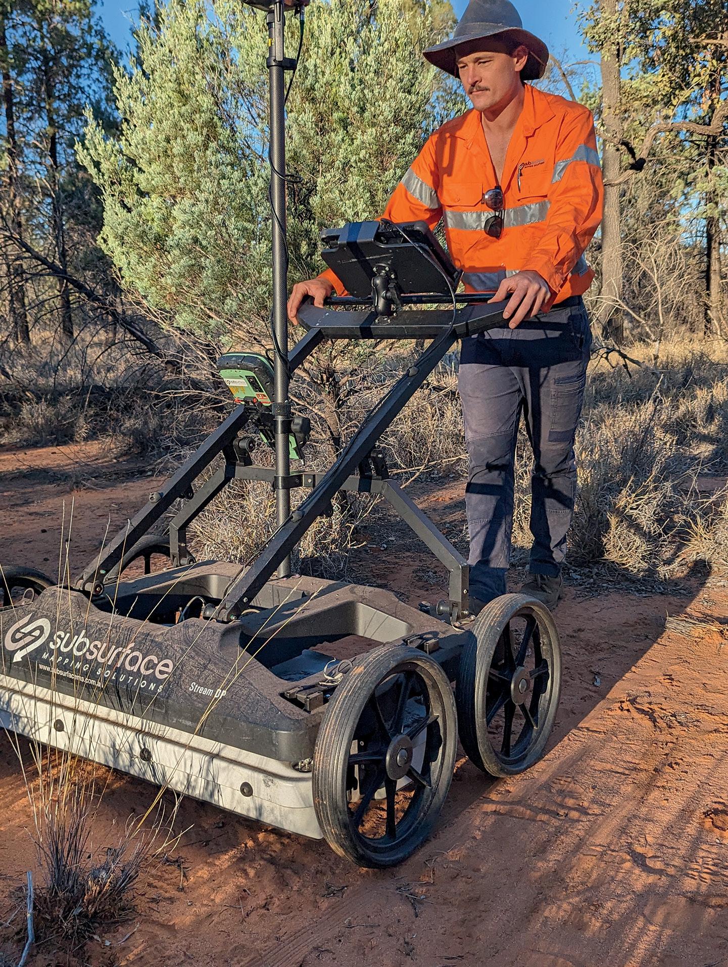
Gold Coast-based Subsurface Mapping Solutions (SMS) was founded just over three years ago by managing director, Andrew Watson. The company, which specialises in underground service location — primarily looking for utilities such as communications and power — recently became one of the first in Australasia to purchase the IDS GeoRadar Stream DP ground-penetrating radar (GPR) from C.R. Kennedy. “We’ve ventured fairly deeply into 3D multi-array GPR mapping, which is how we ended up on the wombat project,” said Andrew.
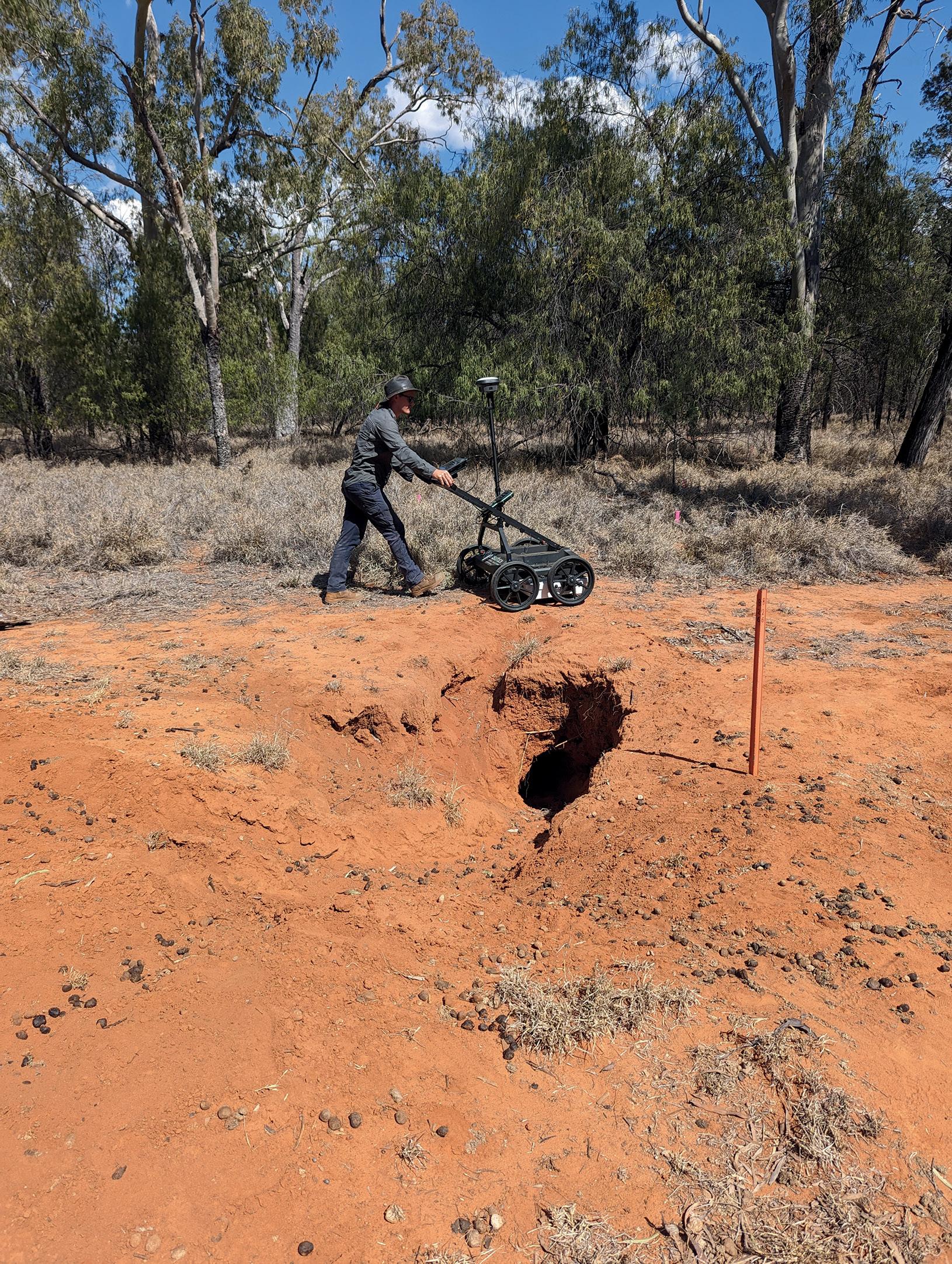
The wombat project is a vital conservation project being run by the Australian Wildlife Conservancy (AWC) at a sanctuary in St George in southern Queensland, about six hours’ drive from the Gold Coast. The wombats in question are the critically endangered northern hairy-nosed wombat, the world’s largest burrowing herbivore. This large marsupial once roamed all across Queensland and
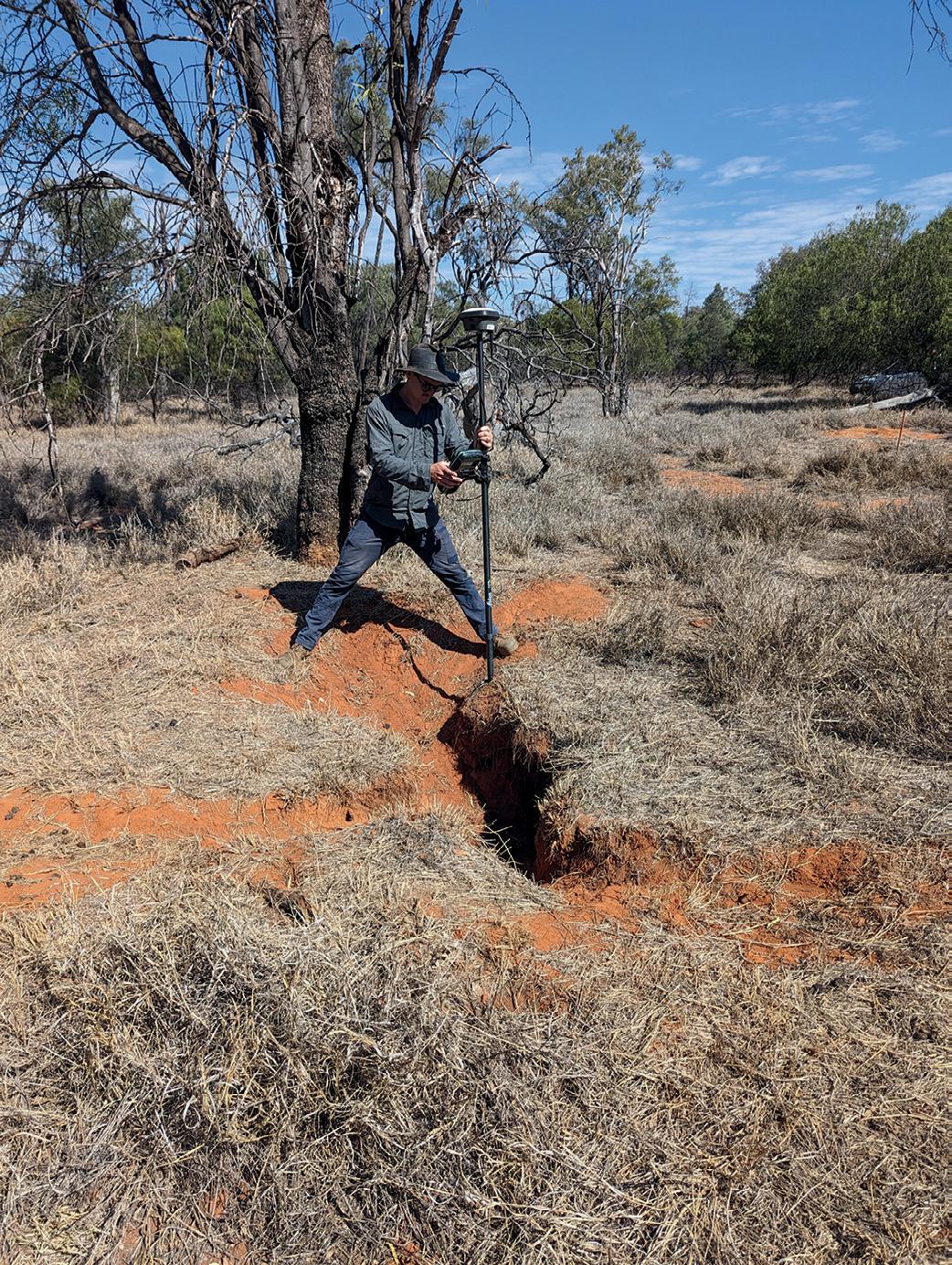
northern NSW but at one stage had dwindled to a population of just 35. Conservation efforts have raised to a little over 300, with around 15 thought to be present at the St George site.
GPR work to map the burrows had been attempted many years ago but failed due to the inadequacies of the equipment then available. Recently, the AWC became aware of SMS’s new capabilities with the
Stream DP, contacted them and asked if it would be feasible to use it on the burrows.
“It was a bit of an unknown to be honest when we first went out there, but the results turned out to be fantastic,” said Andrew. “GPR is generally limited by soil conditions, but these machines have just a little bit better technology that can help push the signal deeper into the soil.”
The Stream DP’s large multi-channel
“I’ve
never used anything else like the Stream DP. It’s definitely a level above everything that’s been out in the market before.”
Andrew Watson, SMS
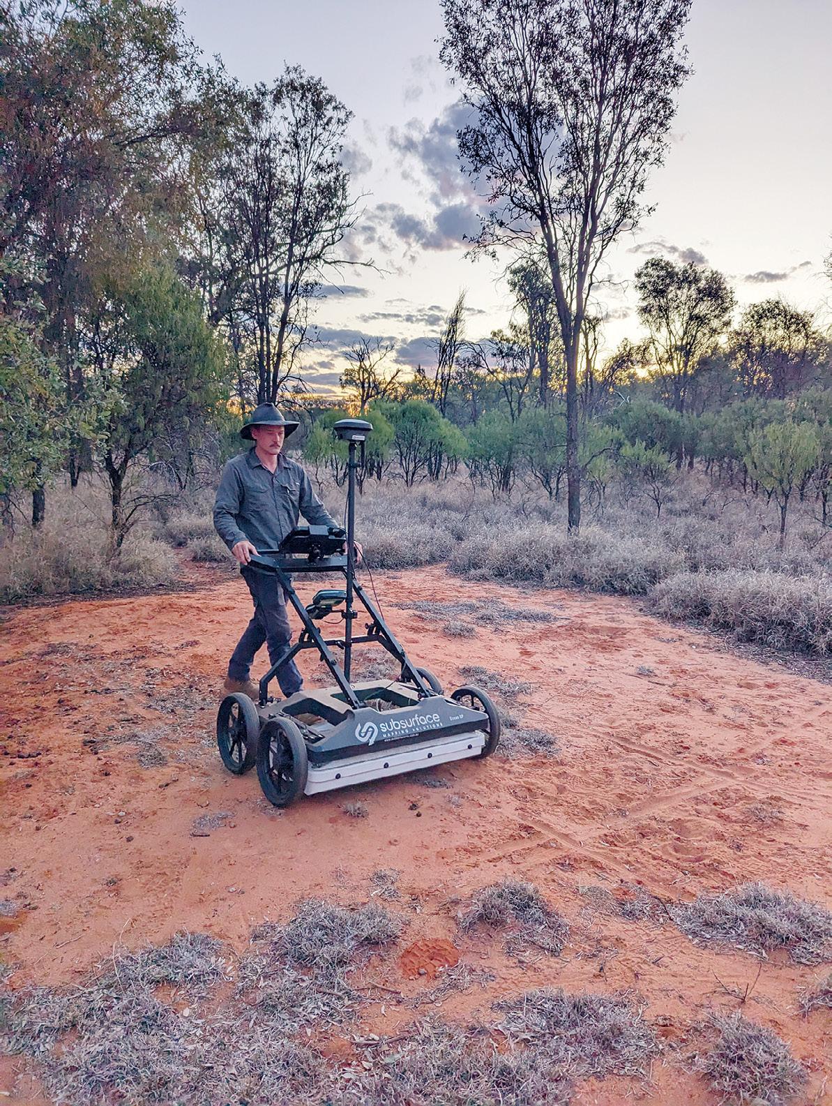
array — 30 channels in double polarisation; 19VV plus 11HH — enables accurate 3D detection of underground assets and voids in a single scan. It features Equalized scrambled Technology, or EsT, which enables it to exploit the entire radiating performance of the antenna for full control of the GPR signal, whilst at the same time performing noise rejection and capturing both lower and higher frequencies for extended depth range and an ultra-high resolution. For positioning accuracy, it has an integrated encoder and PPS and a user-fitted external GPS and TPS.
Designed for easy transportation, the Stream DP’s light weight (maximum 20 kg per part) and compact size means that it can fit inside a standard vehicle and be assembled and deployed by a single person. It’s designed to handle a variety of scenarios from asphalt (with pivoting wheels) to rugged ground (terrain wheels) and has a scan swath width of 83 cm.
“It’s pretty awesome,” says Philip Byrne, C.R. Kennedy’s National Sales Manager, GIS and Detection, Survey Division. “A lot of survey companies are getting into subsurface detection — they see the benefit. And Stream DP is just so far ahead of the other systems in the market.”
“GPR generally is quite complex to read,” he adds. “But with 3D GPR, because you’re getting more data, you can form a tomographic view — it just makes your data a lot more visible and easier to decipher.”
The Stream DP has an in-built screen that gives you a real-time view of what you’re scanning, and SMS operates it with a Leica Geosystems Leica GS18 T GNSS RTK rover mounted on top, so everything’s georeferenced to centimetre accuracy.
A level above for work below
SMS ended up scanning half a dozen burrows, focusing on mapping out the networks to find out how far they reach. According to Andrew, while it was a very unique project, the principles were the same as any other underground locating effort — they were still looking for the same sort of signals and targets via the machine, in this case cavity or void space detection.
So could the job have been done with a standard GPR?
“Not as well,” said Andrew. “It has been tried before with other technology and wasn’t
successful. You definitely wouldn’t be able to produce the same reports and the same imagery. I always say that the Stream DP is unparalleled, unmatched. Other providers like to say their equipment can do the same thing, but I’ve got six different machines and none are as good as the Stream DP.”
When it’s not being used to map wombat burrows, Andrew says it’s a great machine for utilities work and other uses.
“It’s particularly good for void detection,” he adds, with sinkhole investigation being one of the latest applications. “We’ve been using it on highways where they’re having issues with patches in the road that keep failing, so we do investigations to try to see what we can find.”
So how would Andrew sum up 3D GPR and the Stream DP in particular?
“I think people just assume that GPR technology is not changing, but it is. It didn’t go anywhere for 10 years then suddenly it’s moved ten years in the last 12 months. The technology is definitely improving,” he said.
“I’ve used GPRs for 15 years and I’ve never used anything else like the Stream DP. It’s definitely a level above everything that’s been out in the market before.” n

Outstanding individuals and teams in the geospatial sector have been recognised at a gala ceremony in Sydney.
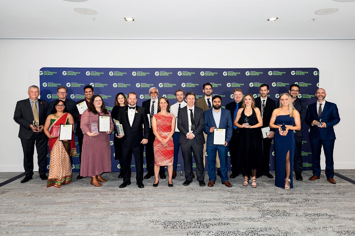
The recipients of this year’s Geospatial Council of Australia (GCA) Geospatial Excellence Awards were announced at the Locate24 conference in Sydney in early May. The presentations were made at the gala dinner on the evening of the second day of the conference, which itself had attracted more than 1,000 participants — the largest-ever number of registrants in the event’s 11-year history.
As always, it appeared that the judges had a wealth of nominees from which to choose, so their job couldn’t have been easy — there is so much good work being done by geospatial professionals across the nation. Nonetheless, the enthusiastic audience responses when each of the award announcements were made were a good indication that the awardees’ peers wholeheartedly agreed with the judges’ decisions.
The worthy recipients in each of the award categories are as follows:
• Professional of the Year Award: Neil Hewitt, founder of Precision Hydrographic Services.
• Future Leader of the Year Award — joint winners: Ben Dawes, a surveyor and digital practitioner with Bennett + Bennett, and Lavender Liu, an Earth Observation Data Scientist who is using EO to solve real-world problems.
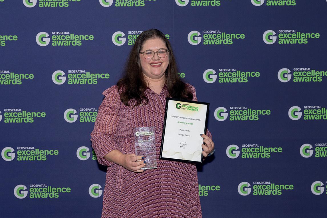
• Diversity and Inclusion Award: Georgie Cassar, for her contributions to the Women in Geospatial Science network.
• Educational Development Award: Davood Shojaei, senior lecturer at the University of Melbourne, for his pioneering work in 3D land and property information within the field of spatial science.
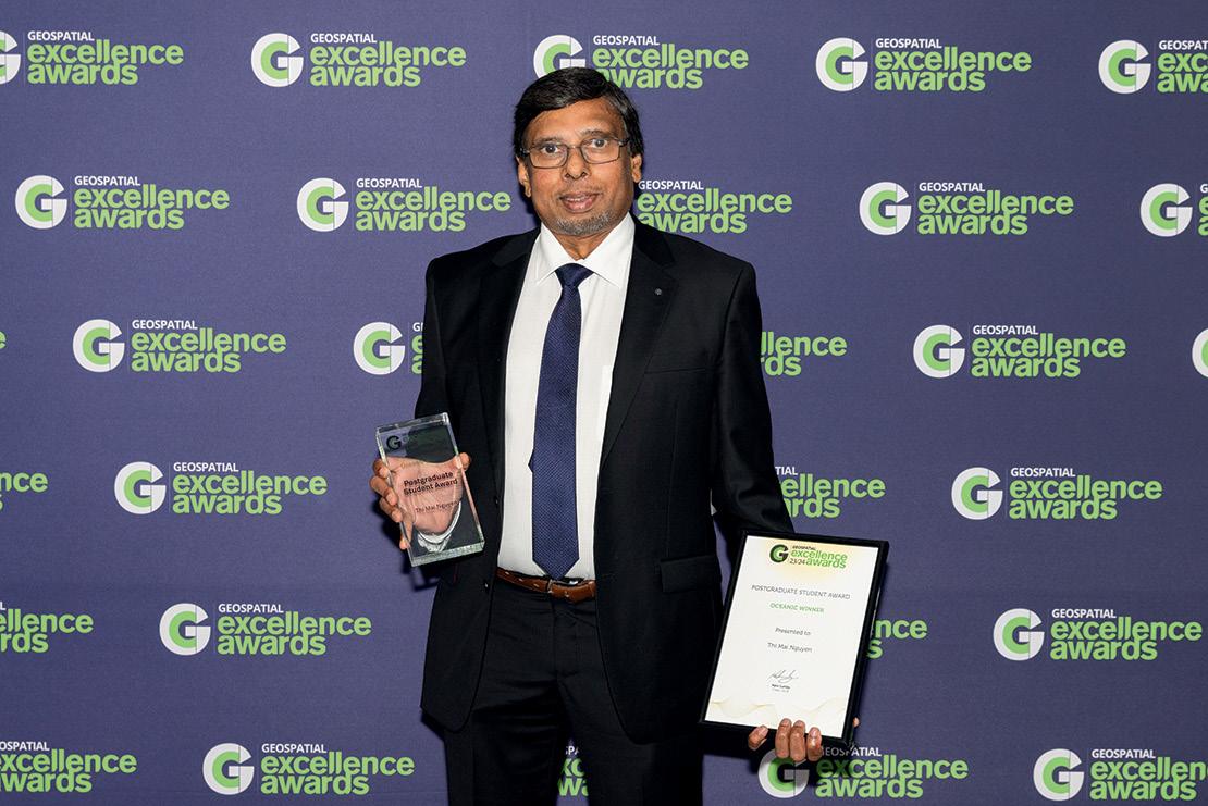
• Postgraduate Student Award: Mai Nguyen, whose work at Monash University contributed to the field of geospatial technology.
• Undergraduate Student Award: Kyran Cook, currently completing a Bachelor of Spatial Science at UniSQ, where he is researching the innovative use of InSAR and Coherent Change Detection to map erosion.
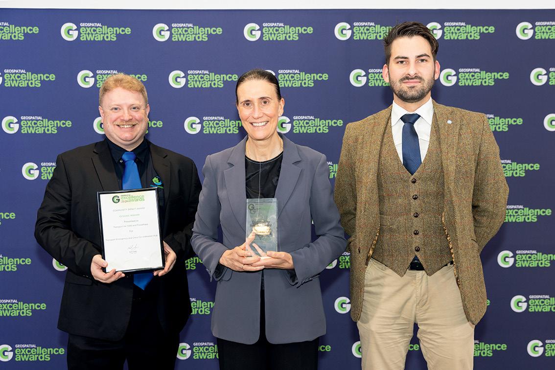
• Community Impact: Transport for NSW and FloodMapp for their Transport Emergency and Crisis Co-ordination Hub (TECCH) project.
• Environment and Sustainability: Spatial Vision, ThinkPlace and Department of Climate Change, Energy, the Environment and Water for their Environmental-Economic Accounts Dashboard project.
• Innovation — Small Business: Revelare Systems for its Spatial Enterprise Cloud Architecture project.
• Innovation — Medium to Large Business: Victoria’s Department of Transport and Planning, and Archistar for their eComply: Digital Twin for Building Compliance project.
• International Partnership: CSIRO, Geoscience Australia, Frontier SI and Symbios Communications for their Earth Observation for Climate Smart Innovation project.
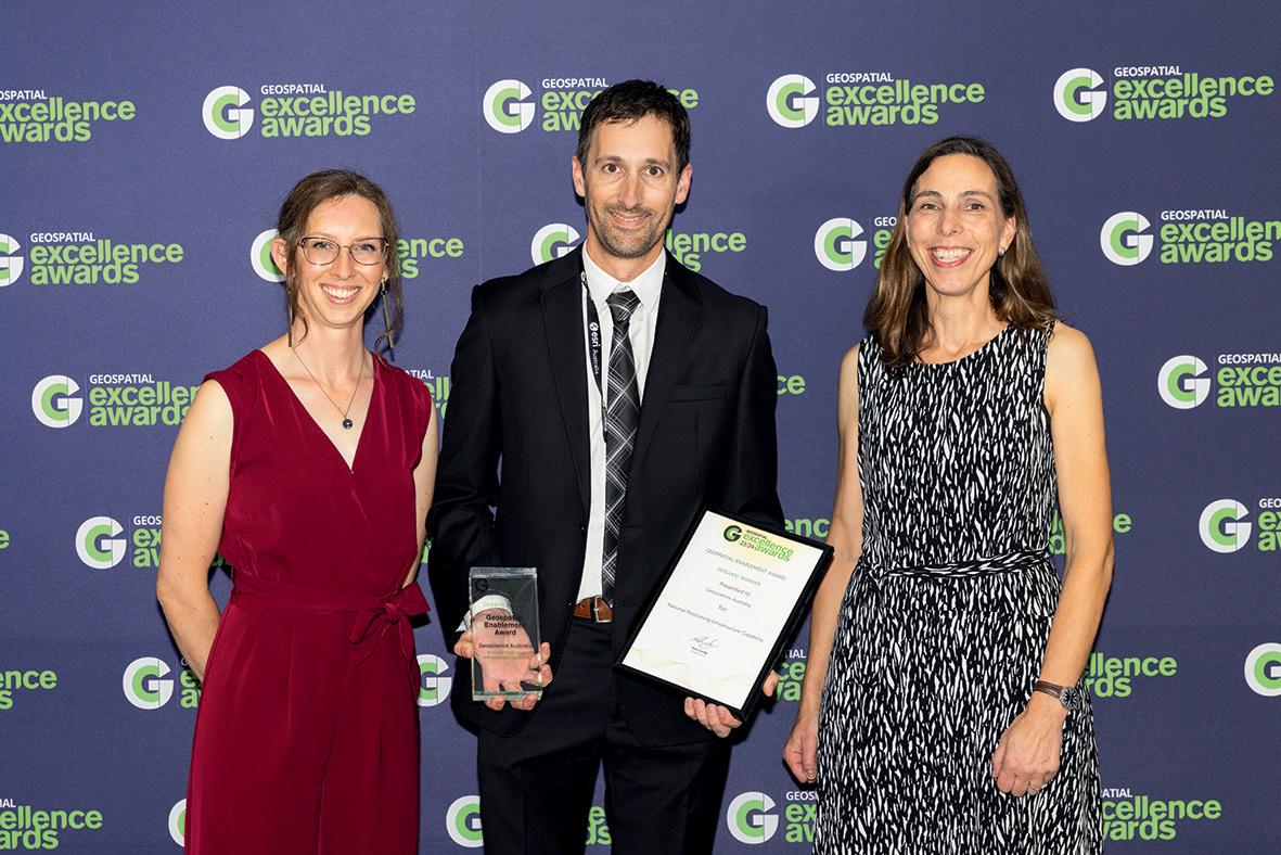
• Geospatial Enablement: Geoscience Australia for its National Positioning Infrastructure Capability project.
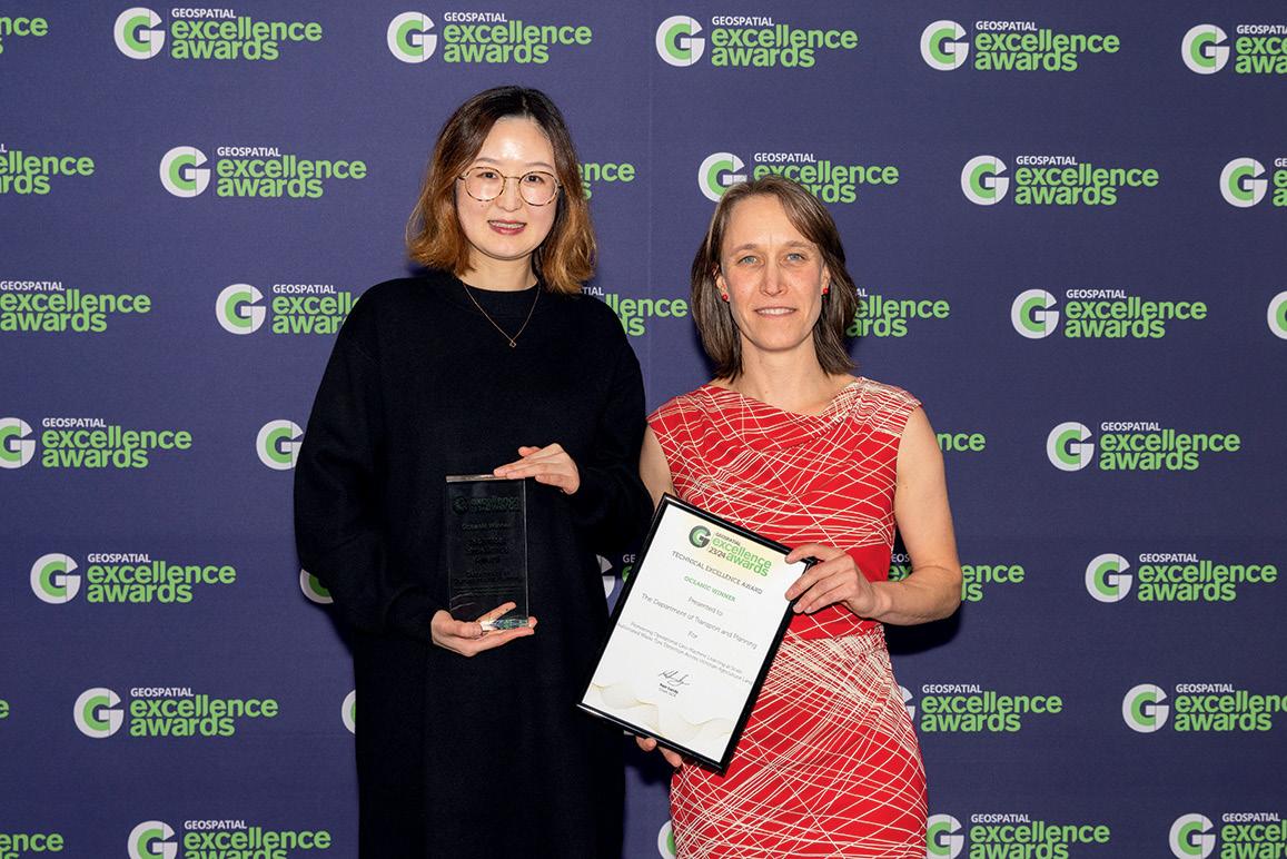
• Technical Excellence: Victoria’s Department of Transport and Planning for its Pioneering operational Geo-machine learning at scale: Automated waste tyre detection across Victorian Agricultural Land project.
• Workforce Development and Inclusion: Winyama for its Indigenous Mapping Workshop Narrm project.
• Bruce Thompson Innovation Award: Nathan Eaton, a geospatial enabler who has made many positive impacts at a global scale, such as the ongoing body of work on coastal risk in Vanuatu.
• Peter Woodgate Award: Glenn Cockerton, the founder and outgoing CEO of Spatial Vision.
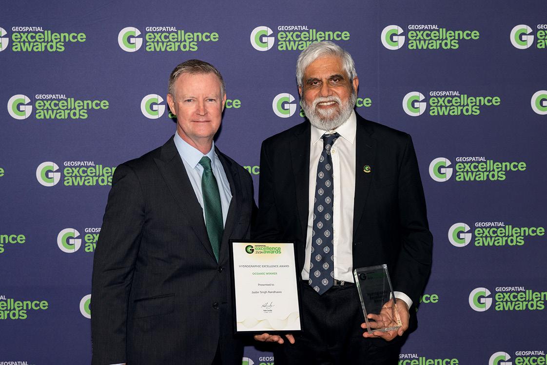
• Hydrographic Excellence Award: Jasbir Randhawa, a 50-year veteran of the surveying sector and the outgoing Assistant Director External Relations with the Australian Hydrographic Office.
• J.K. Barrie Award for Highest Achievement: Winyama, for its commitment to progressing indigenous achievement in the geospatial sector.
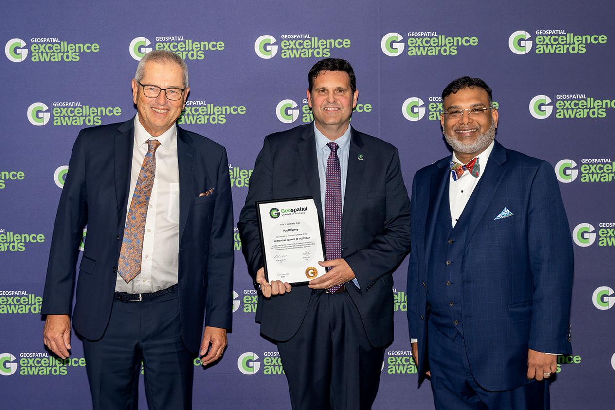
Also announced during the award proceedings was the conferral of GCA Honorary Fellowship upon Paul Digney, Technical Director Data Capture for ANZ with Jacobs, former President of the SSSI and former interim Chair of the GCA.
Position adds its congratulations to all the recipients and finalists. Nominations are now open for next year’s awards — see page 41. n
The Geospatial Excellence Awards were not the only recognitions handed out at Locate24. Participants in the conference’s Young and Emerging Professionals (YEP) sessions also were recognised, with three worthy individuals awarded prizes for their presentations. Congratulations go to:
• 1st prize: Tori Murrant
• 2nd prize: Camille Karski
• 3rd prize: Damon Whish-Wilson

Two new white papers highlight technology’s role in ensuring Australia becomes a more climate-resilient nation.
Leading geospatial and planning figures are calling for a coordinated approach to digitising and streamlining Australia’s urban planning systems.
The PlanTech Partnership, led by FrontierSI with the Planning Institute of Australia (PIA), University of NSW and RMIT University, has released two white papers on the transformative role technology can play in improving Australia’s urban planning system and fortifying the nation’s path towards a climateresilient future.
The papers — Digital Transformation of the Australian Planning System and PlanTech for a Climate Resilient Planning System — make a strong case for change, coordination and investment, and well as detailing specific opportunities for using planning to achieve climate resilience in Australia.
Matt Collins, CEO of the PIA, said planning technology will play a critical role in achieving climate resilience
in Australia but taking full advantage of it requires national coordination.
“Land use planning plays a critical role in tackling major issues facing Australia, including climate resilience, housing affordability, the delivery of major infrastructure programs, and community safety and wellbeing,” he said.
“To make meaningful change in these issues, we need to continue to evolve the planning systems and professionals across Australia, and ensure that technology supports, rather than competes, with these professionals.”
Phil Delaney, Deputy CEO at FrontierSI said people often think only of the ability of land use planning to minimise risks in the defence against a changing climate, such as not building houses in riverine or coastal flooding areas.
“However, planning can play just as important a role in proactively enabling a climatepositive future,” he said.
The PlanTech Partnership is now actively seeking new
members to help drive true change in housing, environment and community outcomes through improved planning technology.
Professor Chris Pettit, Director of the City Futures Research Centre at UNSW said the planning sector is undergoing digital transformation using a suite of solutions commonly known as PlanTech.
“PlanTech leverages digital technologies, advanced analytics, and collaboration platforms to revolutionise how urban planners can address pressing issues across Australia. This includes making our cities and regions more climate resilient through better data and technology-assisted planning.”
The white papers assess the barriers and opportunities for a coordinated, national approach to PlanTech to enable systemwide transformation, and provide a detailed look at the opportunities it offers for both the proactive and defensive elements of climate resilience.
According to Professor Jago
Dodson, Director of RMIT University’s Urban Futures Enabling Impact Platform, critical opportunities are being missed and it is time for governments, planners, insurance companies and technology developers to work together.
“Natural disasters are projected to cost Australia $1.2 trillion over the next 40 years. Transforming planning systems to make cities and regions resilient to climate shocks via better data, analysis and platforms can generate huge economic and social dividends,” Professor Dodson said.
“A strong planning system, underpinned and improved by high-quality collaborative research, is the only way to further improve future outcomes in Australia,” he said. “We look forward to working with both the planning and technology sectors to make a real difference.” n
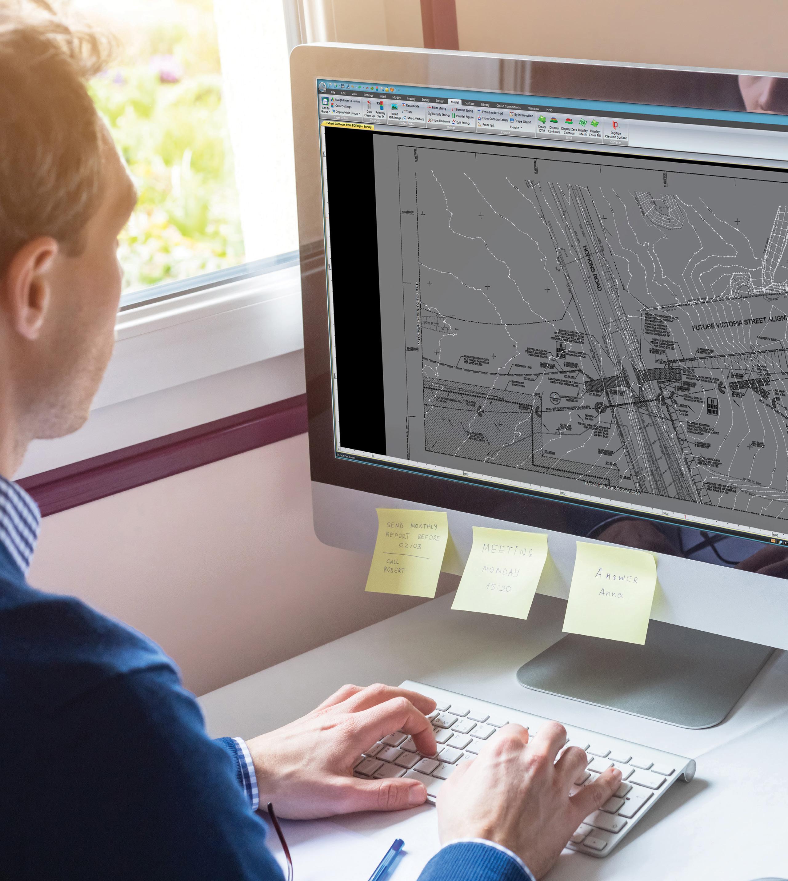
The joint Australia/NZ satellitebased augmentation system’s guaranteed availability level has climbed from 95% to 99.5%.
Asignificant milestone has been reached in the roll out of Australia and New Zealand’s satellite-based positioning augmentation system — the Southern Positioning Augmentation Network or SouthPAN — with it reaching a service availability level of 99.5%, up from 95% previously.
SouthPAN is an initiative of the Australian and New Zealand governments, being implemented by Geoscience Australia (GA) and Toitū Te Whenua Land Information New Zealand.
Following a multi-year testbed phase, a contract was awarded to LockheedMartin Australia in 2022 for implementation of SouthPAN, with early open services to become available in September of that year.
Branch Head at GA’s Positioning Australia, Dr Martine Woolf, says the new milestone is “particularly exciting from a stakeholder perspective,” with users now able to have “much more confidence in relying on the services and greater assurance that they will experience minimal outages”.
BY JONATHAN NALLY


“Probably a bit of both,” said Dr Woolf. “The reliability is determined by various things that are both within and not entirely within our control, which is why it probably never would be possible to set it to 100%.”
“That obviously comes on the back of a few years of work that has taken the form of ongoing improvements in the infrastructure behind the SouthPAN system,” Dr Woolf said. “That includes building and operationalising a new uplink station in Uralla in NSW and other improvements in the whole system that sits behind SouthPAN, and that upgrade will continue. But we are now at the point that we can up the service availability to the level that we always envisioned it should be.”
The result is that users can now be assured that 99.5% of the time they need to use the SouthPAN service, it will be available. Dr Woolf adds that “We think it will be more than that… but we guarantee it to that level of 99.5%”.
So has the reliability been growing steadily or have there been incremental jumps?
“We’ve been investing in new infrastructure that gives extra levels of redundancy and that clearly allows us then to bring that level of reliability up. You might not see that from the outside, but what you would see are less frequent outages,” Dr Woolf added.
“There are going to be outages [but] that could be due to something that sits outside the system itself. So there could be outages due to solar events or in equipment that at this point sits in the satellites that we can’t control.”
The SouthPAN signal is currently provided via a transponder aboard an interim satellite, with the next step being the launch of a dedicated bespoke transponder aboard the Inmarsat I-8 satellite, which is due to begin service in 2027.
An announcement is expected soon on the selection of a second, to-be-launched satellite that will provide a redundant SouthPAN signal. From that point on, there will always be two satellites in service.
Having two satellites will “enable us to achieve that guaranteed level of service,” said Dr Woolf. “One or the other would be able to
achieve the level of service that we need [but having two] gives redundancy to the system.”
Redundancy extends to the ground segment, as well. There are to be two uplink sites — one at Uralla in northern New South Wales, and one at Invercargill in New Zealand — each of which will have two dish antennae. Uralla is operational, and Invercargill will soon be.
An oft-overlooked part of the SouthPAN system is the growing network of groundbased GNSS reference stations (GRS) strategically located across Australasia. Many in the geospatial sector will be familiar with the CORS network that provides positioning correction signals for surveying — the GRS are conceptually equivalent but engineered to higher design specifications, such as having dual communications links.
In the last few months there has been another exciting development in the service, with users now able to access the SouthPAN service not only through the satellite broadcast, but also via the Internet.
“It’s an alternative way of delivering the same services that we get through satellite broadcast, but it caters to a potentially different stakeholder group,” said Dr Woolf. “It just gives an additional opportunity and a different way of building this into new products. This Internet stream we think is potentially of interest to technologies that might be more applicable to wearable devices or mobile phones.” n
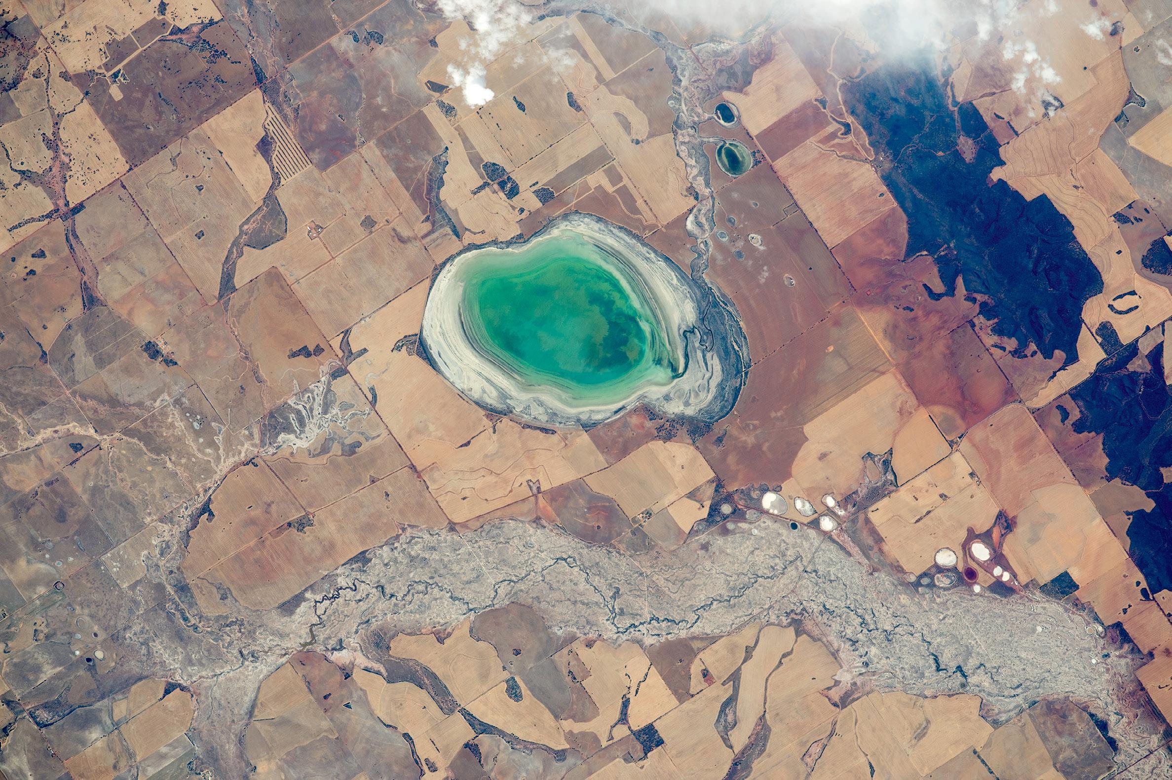
A new report reiterates the well-known fact that Australia is not taking its sovereign Earth observation needs seriously enough.
Anew report details the widespread use of Earth observation (EO) applications and services across government, research and commercial sectors in Australia, and highlights the significant vulnerabilities the nation faces by being reliant on the receipt of EO data from foreign sources.
The report, Continuity of Earth Observation Data for Australia: Risks, produced at the request of Geoscience Australia, has been compiled by Earth Observation Australia, the University of Queensland and Symbios. (You can download it from: eoa.org.au/s/ Continuity-of-Earth-Observation-Data-for-Australia-Risks.pdf)
Although it goes largely unnoticed by most people, EO plays a crucial role in almost all aspects of Australian society and industry. But as the report states:
“All of the satellite EO data utilised by Australia originates from foreign sources within all sectors — government, research, and commercial. Currently most of the key data sources — importantly, free and open sources — are without binding data supply agreements to support supply risk management and mitigation. This includes foundational data supply from the Landsat program (USA/ USGS, NASA), the Copernicus program (European Commission), and from various foreign weather satellite operators.”
The report goes on to say that “The foreign dependence and ownership of EO infrastructure presents significant risks for Australia at the time of this report. These risks warrant assessment and tracking to determine any changes in the associated risk levels into the future.”
Thirty-nine risks are identified and analysed in terms of their importance to the Australian economy and international relations. Of those 39, six are rated as having a ‘very high’ potential impact based on their likelihood and consequences, while 32 of the 39 are rated between having ‘possible’ and ‘almost certain’ affects. The six risks rated as high, are:
• The potential for foreign governments to arbitrarily change their policies on the open or free distribution of data.
• The potential for foreign governments to change their strategies on the tasking and acquisition of EO data; coverage of Australian territory has been neglected in the past and could easily happen again.
• The potential for changes in foreign partner government’s ambitions or abilities to provide satellite EO systems for operational or scientific needs.
• The lack of binding data supply agreements with key providers could lead to a sudden demise in the supply of data.
• The potential for changes in foreign policy or data availability arising from increased regional or international tension or conflict.
• An inability or delayed ability to respond to future data supply risks, because Australia’s domestic ability to develop, build, launch or operate its own EO satellites is very low.
In terms of government satellite EO data usage, there are 171 federal, state and territory government programs dependent upon it. Yet “Almost all of Australia’s EO data supply is subject to decisions taken by foreign governments around open and free data supply…,” the report says.
As Position reported last year, the federal government had previously committed to a $1.2 billion National Space Mission for Earth Observation that would have seen four Australian-owned EO satellites placed into orbit. But that program was cancelled without warning in early 2023.
In April this year, the government made a $207.4 million commitment over four years to join the Landsat 2030 International Partnerships Initiative to take advantage of the next generation of Landsat EO satellites, called Landsat Next. The funding will be used to enhance a satellite ground station in Alice Springs, along with new data processing and analytics capabilities. n
Demand for fast and efficient terrestrial data collection is growing across industries, yet the technology still requires extensive surveying expertise and can be costly to implement.
To streamline and accelerate complex field-to-office workflows, Emlid and Pix4D are launching a mobile scanning kit that will enable anyone on the team to capture accurate 3D scans with a smartphone, the new PIX4Dcatch app, and an Emlid Reach RX RTK network rover.
The recently upgraded PIX4Dcatch app is at the core of the software part of the kit, offering a streamlined, precise terrestrial photogrammetry and LiDAR (if using a LiDAR-enabled smartphone) scanning solution.
The hardware part features the Emlid Reach RX RTK network rover, equipped with an ergonomic handle and accessories.


The Emlid Reach RX is natively integrated with PIX4Dcatch Pro and provides RTK GNSS survey quality positioning via NTRIP corrections. To begin scanning, simply select a preconfigured profile for the Emlid device in the RTK settings of PIX4Dcatch Pro and add your NTRIP network credentials.
The solution’s design eliminates the need for additional hardware setup or specialised skills. Anyone on the team can use the kit, ensuring effective data collection as they move around the asset.
Easy to deploy yet highly accurate, this scanning kit will become an asset for professionals and non-surveyors in a range of applications:
Underground utility documentation and as-builts for companies implementing Subsurface Utility Engineering (SUE) best practices.
Construction inspection: As-built scans to design plans and expedite approvals. As-built surveys: A better as-built with less time spent on data collection and drafting. Volumetric measurements: Effortlessly quantify stockpile volumes.
• Crash reconstruction: Perfect for clearing roadways quickly with easy, accurate scans.
• Combined aerial and terrestrial surveys: Complement overhead drone captures with terrestrial PIX4Dcatch scans.
The Emlid Reach RX works with any NTRIP correction network broadcasting RTCM3. The rover gets a fix solution in under 5 seconds even in challenging conditions and ensures centimetreaccurate positioning.
Apart from providing accuracy for the scanning tasks, it can be used with a survey pole as a powerful and lightweight network RTK rover for data regular survey and stakeout.
Designed for urban areas, the Reach RX has the following specs:
• Rated IP68, it is sealed and protected from water and dust.
• The receiver weighs 250 grams and can be carried in your pocket.
• An industrial-grade battery handles both high and low temperatures and provides 16 hours of work from a single 3-hour charge.
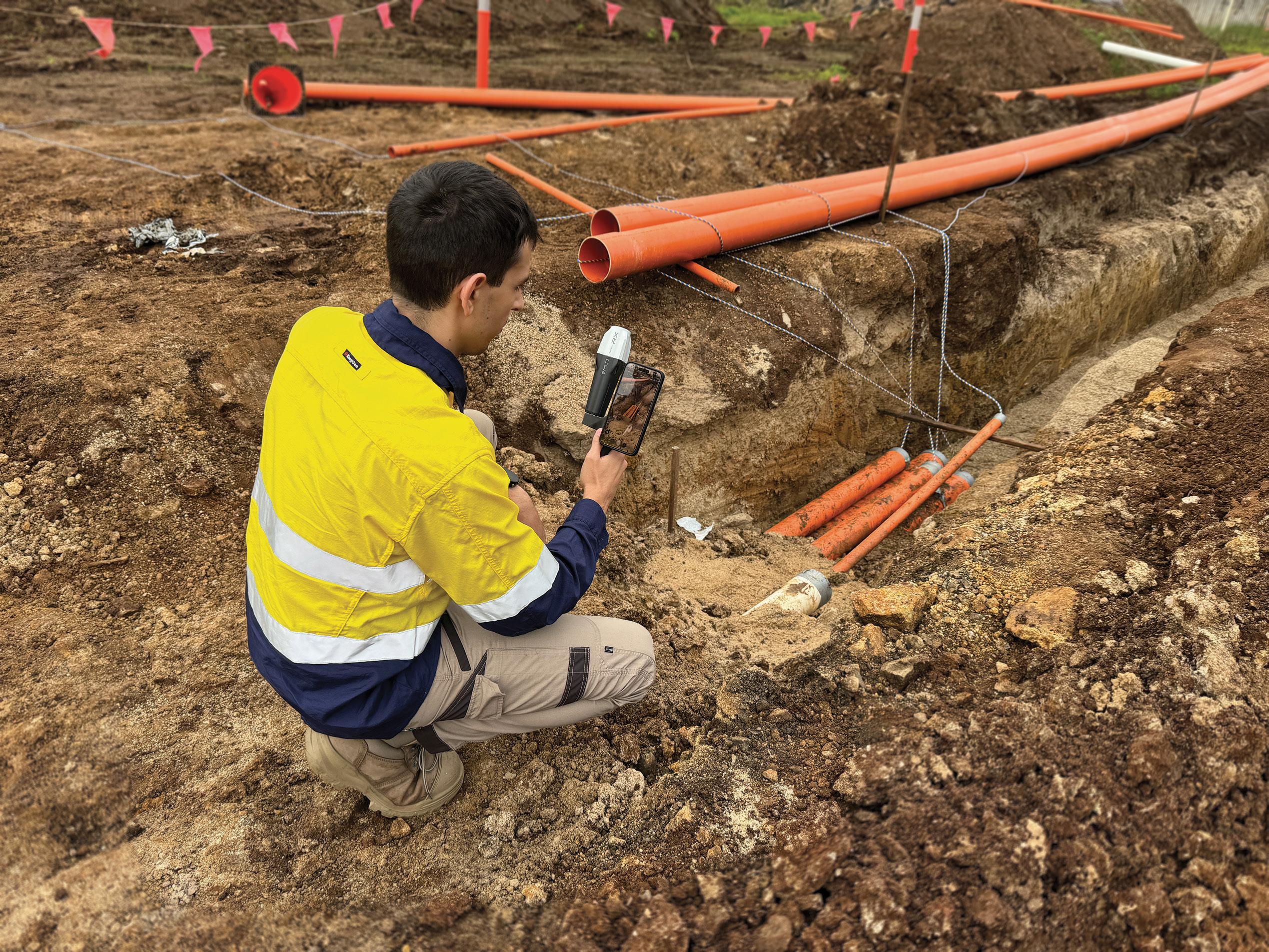

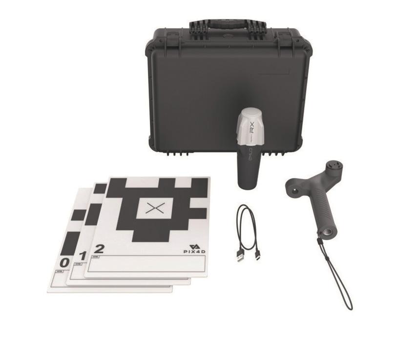
Besides the Emlid Reach RX, the Emlid Scanning Kit includes additional accessories: the Emlid scanning handle with a leash, five Pix4D Autotags and a carry case.
The PIX4Dcatch app enables you to scan with a compatible smartphone and obtain a digital 3D model in minutes. It comes in different versions to better adapt to your needs.
The PIX4Dcatch Standard app enables users to collect data that can be processed into 3D models with your existing Pix4D software licence (PIX4Dcloud, PIX4Dmatic or PIX4D mapper).
A PIX4Dcatch Pro subscription is required to enable RTK features, along with automatic target detection (Pix4D Autotags), augmented reality (AR) features, CAD file overlays, on-device volume and distance calculations, and staking capabilities.
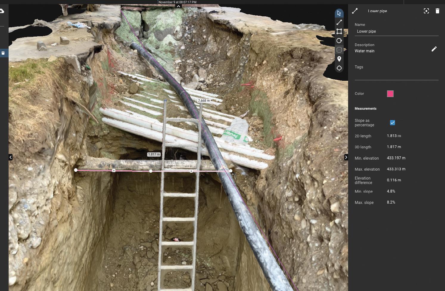
solution for terrestrial scanning in a financially accessible format."
– Alistair Hart, Map Gear
Map Gear, the official Emlid dealer in Australia, has already tested the new PIX4Dcatch app with the field-proven Reach RX receiver and shared its first impressions.
“This is indeed a game changer for multiple industries. Emlid and Pix4D have created an extremely easy-to-use, yet survey grade solution for terrestrial scanning in a financially accessible format,” says Alistair Hart, General Manager at Map Gear.
“Now, those working in construction, utilities, forensics, or drone mapping can build highly accurate 3D models without the need for third-party surveyors. In addition, the entire workflow, from data capture to final deliverables, has become many times faster.” n
BY TONY PROUST
Were ancient Aboriginal tracks and pathways the forerunners of some of our modern roads and highways?
My family has land at Numeralla on the Great Dividing Range about 30 kilometres northeast of Cooma in southeastern New South Wales. Some years ago, I casually mentioned this to a university academic who knows the Monaro well, and he immediately replied that Numeralla was on an Aboriginal ‘songline’. I was intrigued and initially filed this information away for reference, but it eventually got me thinking: What does this mean?
The land in question is adjacent to the Big Badja River which flows to the west from headwaters in the Great Dividing Range and ultimately discharges 1,000 kilometres west into the Southern Ocean. Meanwhile just to the east is the headwaters of the Tuross River which flows eastwards to the Pacific Ocean. I realised that its quite likely that in times past, Aboriginal people may have walked past this land on their annual treks to the south coast and back. They would have followed the river valleys linking the Monaro to the south coast and maybe there was a songline to help them along the journey. It all seems very logical.
We know that Aboriginal and Torres Strait Islander people developed and used expert knowledge to navigate through country — for trade, to find materials for tools, to find seasonal foods and water, traditional medicines and for ceremonial reasons. They used geological features, water courses, trees, and the direction of sunrise and the stars to navigate across the landscape. In the process they created the ‘dreaming’ or songlines so that this information could be recalled and passed onto the next generation.
So, is there any evidence that a songline, which may have included an ancient track or pathway, created by thousands of years of walking, is reflected in our modern road network? I began my search and quickly identified some roads and highways that probably follow ancient Aboriginal tracks or pathways.
In 1796 the crew of a fishing boat wrecked north of the Hunter River at Port Stephens, walked to Sydney. They were guided the local Aboriginals along a coastal path to the Hunter River and from there onto connecting paths via Lake Macquarie and Broken Bay to the north shore of Sydney Harbour. They were probably escorted by those locals through the country, along ancient pathways, before being handed on to new guides as they proceeded south, ensuring their safe passage through neighbouring territories down the coast. Today the Pacific Highway linking Newcastle with Sydney may include some of these original tracks.
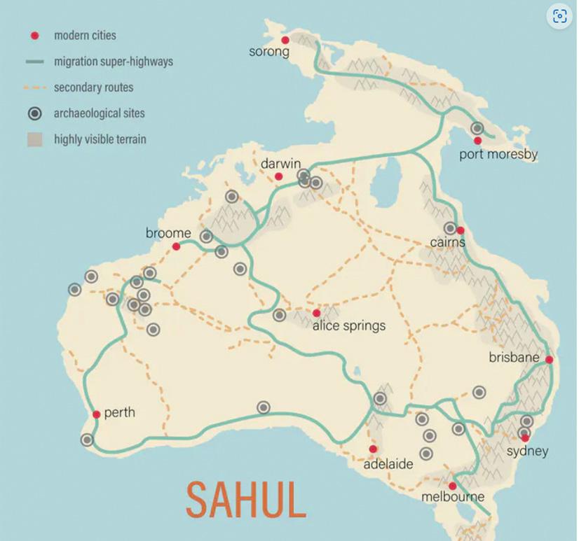
As described in the book Songlines edited by Margo Neale, songlines are a means of storing and learning knowledge, ancient and modern. They are stories embodied in the land, sea and skies to be remembered and passed on through song, dance, art, ceremony and, most importantly, through attachment to Country. A songline is a system for the retention and transmission of knowledge to enhance lives. They are not unique to Australian indigenous cultures — they are a feature of many traditional cultures.
Some songlines are confined to a small area and do not travel far. Other songlines are epic — they stretch across the entire continent like a web of interconnecting pathways encompassing multiple sites.
My thesis is that a songline would have included a trading route, track or pathway used to travel from place to place, depending on seasonal food sources and cultural practices. In a society with only oral traditions, a songline, possibly using mnemonic techniques, was a reliable way to teach the next generation how to get from place to place and how to find food and water on the journey, critical to survival in what can be a harsh landscape. Young children would have learnt a very basic songline, so they didn’t get lost, which became more detailed as they grew older. The Elders would have known a very detailed songline.
Excellence for Australian Biodiversity and Heritage.
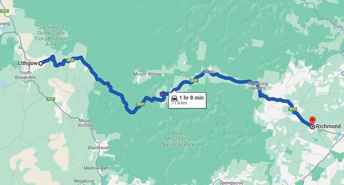
“Some songlines are confined to a small area and do not travel far. Other songlines are epic - they stretch across the entire continent.”
Sahul is the name of the prehistoric mega-continent that once encompassed Australia, Tasmania and Papua New Guinea. The name first appeared on 17th-century Dutch maps of the sandbank between Australia and Timor. Humans colonised Sahul about 60,000 years ago. Research conducted by the Australian Research Council Centre of Excellence for Australian Biodiversity and Heritage identifies the paths that were likely trodden by the ancient Aboriginal people as they moved across the continent from the Kimberley to Tasmania. As recently as 12,000 years ago you could walk from the northernmost part of Papua New Guinea to the southernmost part of Tasmania. The researchers constructed “a digital elevation model for Sahul with a viewshed analysis and most efficient walking routes to create potential migratory pathways which revealed likely ‘superhighways’ crossing the continent — crosschecking the mapping with archaeological data confirming their analysis” (see Figure 1).
The most remarkable thing about the map in Figure 1 is how recognisable it is. From the Great Dividing Range along the east coast, to the Kimberley in the northwest and MacDonnell Ranges in the Red Centre. You can almost recognise our Highway 1.
Interestingly, Commonground.org.au, which seeks to help society understand First Nations knowledge and culture, explains that “songlines are passed from Elder to Elder over thousands of years. Many of the routes shared through songlines are now modern highways and roads across Australia. The famous route across the Nullarbor between Perth and Adelaide came from songlines as did the highway between the Kimberleys and Darwin”.
My first case study is the route between Sydney and Newcastle. Imagine walking from Wisemans ferry on the Hawkesbury River to Cessnock in the Hunter Valley, a distance of about 100 kilometres. You would be travelling through Yengo, now the Yengo National Park, which was a very important place for Aboriginal people. There are many traditional Aboriginal tracks through the area
that would have provided trading routes for the locals between the Hawkesbury and Hunter rivers.
Nearly 200 years ago the colonial government decided to build a road, now called the Old Great North Road, from Wisemans Ferry on the Hawkesbury River to the Hunter. More than 700 convicts and their overseers constructed buttresses, culverts, bridges and nine-metre-high retaining walls over a ten-year period from 1825. What evidence is there that this road followed an ancient Aboriginal track? The page ‘Australian Convict sites – Old Great North Road’ on the website of Environment and Heritage (part of the NSW Department of Climate Change, Energy, the Environment and Water) states the following:
The original line of the Old Great North Road was surveyed in 1825 by the colony’s Assistant Surveyor, Heneage Finch. It probably followed an Aboriginal travelling route, and local Aboriginal people may have purposefully diverted the European road surveyors away from their sacred sites.
We will never know for certain if the Old Great North Road follows an ancient track, but it is highly likely. We know the local people traded widely along tracks and pathways and that they walked from the Hawkesbury to the Hunter. I am confident if a surveyor was asked to find a route for a road from one place to another and found an existing walking track that suited the purpose, then it would have formed part of the survey. It is simply common sense.
My second case study of an ancient Aboriginal track that became a road, is the Bells Line of Road across the Blue Mountains, linking Richmond with Lithgow.
It is well documented that the Bells Line of Road is part of an original pathway of the Darug people along Bilpin ridge, first shown to Europeans in 1823. Government surveyors mapped the ‘Bells Line’ and it was later cleared to become the second road crossing the Blue Mountains. There are references in early explorers’ journals that piles of rocks were observed along ancient Aboriginal walking paths, suggesting the locals removed the stones to make the walking easier. Anyone walking the same route regularly would do that. I was taught that Blaxland, Lawson and Wentworth found the way across the mountains but in reality, they probably followed existing Aboriginal tracks along the ridgelines.
As we know from the Bells Line of Road case study and, I suspect, the Numeralla example above, ancient Aboriginal pathways and tracks, particularly those crossing mountain ranges along the east coast, most likely followed ridge lines to avoid rivers (except when required for food and water) because the walking was easier following the contours. Much further west they probably followed the inland rivers such as the Barka (Darling) while making sure not to interfere with the water and life along the waterways.
My third case study is the Albany Highway linking Perth to Albany in Western Australia in the land of the
would often travel for hundreds of kilometres on foot between each family group.
The Albany Highway is virtually a straight line from Perth to Albany. As a university student in Perth in the 1970s I regularly drove along it to Albany to visit family. Little did I know I was following the footsteps of the Noongar.
Turning to the Canberra region and my fourth case study, the Monaro Highway linking Canberra and Cooma. The highway parallels the Murrumbidgee River, and it is logical that the traditional route for Aboriginal people to journey from the Canberra region to the Snowy Mountains to utilise seasonal foods would follow it. In her book The Road South, Ruth McFadden writes:
The Monaro Highway is an ancient track more or less north to south which was used by the Ngarigo, Ngunnawhal and Walgulu peoples since the dawn of time as they trekked annually each summer to feast on the Bogong moth in caves in the mountains. They left no footprints but gave us a multitude of wonderful names — Molonglo, Pialligo, Tharwa, Michelago, Timbrey, Umeralla, Kuma and Morombidgee among others.
It is reasonable to assume that the Monaro Highway follows an ancient songline.
I have lost count of the number of times I have driven the Monaro Highway, which is one of the most scenic road trips I know. I sometimes muse as to the untold number of people who made a similar journey before 1788, let alone since. In a good season with plenty of water in the creeks and an abundance of food, they would have taken the easier path across the famous

I suggest that the current alignment of the highway is closer to the former pathway. I have no evidence for this yet, but it just seems logical to me.
Consider the famous outback stock routes: the Canning, Birdsville, Strzelecki and others. Stretching across Australia these routes are hardly new — they were traditional pathways for the Aboriginal people, marked and maintained for trade, travel and ceremonial purposes. Famous cattle empires were built on the backs of these ancient tracks.
For Aboriginal people the tangible aspects of these physical pathways were intertwined with their spiritual and cultural beliefs. The pathways were well known and signposted, running along watercourses and between water sources, following the easiest route through the landscape — through open areas, along ridgelines, and influenced by food and water sources. Those people navigated by the stars and had a vast knowledge of the land beyond their direct locality.
Alfred Canning was a famous Western Australian surveyor and explorer who created my fifth case study, the nearly 2,000-kilometre-long Canning Stock Route from the Kimberley to the railhead at Wiluna, more than 120 years ago. As described in the book On the Wallaby by Gerald Walsh, the route could only be used in good seasons. On the first droving trip south two stockmen were killed by the locals, who also vandalised some of Canning’s wells, many of which had been sunk by his team on ancient soaks critical to the local Aboriginals’ survival. (Once a soak was replaced by a well the locals could not access water as they did not have the required equipment: bucket, rope and pully. They were denied access to the water they had used for thousands of years; no wonder they vandalised the wells). Did Canning follow an ancient Aboriginal trading route and songline? Most likely.

through dense forest and open grasslands created and maintained by fire. Following these travel corridors allowed easy movement through country”.
Finally, consider this description of a songline by a highly experienced land development professional who helped negotiate projects on Aboriginal land for many years:
Imagine an Aboriginal group who regularly travel between Kalgoorlie and Esperance — about 400 kms. They might navigate using large rock outcrops as landmarks or ‘way points’, creating a story — a songline — which is passed onto the next generation, about a giant who, back in the Dreamtime, strode across the landscape. The rock outcrops are the giants footprints. The songline guided them from one ‘footprint’ to the next, documenting water and food sources on the way.
My last case study is the Carnarvon Highway in central Queensland. As documented in an article by Dr R.S. Fuller and published on the website of The Conversation, entitled ‘How ancient Aboriginal star maps have shaped Australia’s highway network’:
Aboriginal people have rich astronomical traditions but we know relatively little about their navigational abilities. It’s clear that ‘star maps’ are a means of teaching navigation outside of one’s own local country.
Star maps are a memory aid to teach the next generation how to find their way around Country. As Dr Fuller’s says, ‘songs are known to be an effective way of memorising a sequence in the oral transmission of knowledge’. The pattern of stars showed the ‘way points’ along the route, usually being waterholes and other features of the landscape, just as we use GPS today. One noted star map route ranged from Carnarvon Gorge in the north to Goodooga in the south and the Bunya Mountains in the east. The Carnarvon Highway generally reflects this star map and is probably described in a songline.
As historian Henry Reynolds explains, “early explorers were aided by well-trodden Aboriginal pathways, foot tracks, kept in good repair by fire. Travelling parties grew
If this journey is done twice a year for thousands of years, there will be a track or pathway… possibly two or three tracks, depending on availability of food and water. It is quite possible they had established camp sites along the way, which they would use year after year. It simply stands to reason.
It is clear that 60,000 years of Indigenous culture helped to ‘pave the way,’ almost literally, for the European settlement of our continent. It well accepted that, prior to 1788, Australia was criss-crossed by a network of traditional Aboriginal trading routes, tracks and pathways. Having made many road trips around this amazing country, I have no doubt that Aboriginal Australians have an extraordinary knowledge of our island continent, navigating far and wide using songlines and associated pathways and that many of our modern roads and highways follow these ancient tracks and trade routes.
This article is based the author’s own research as well as conversations with a range of others including Aboriginal elders, academics and experts. The author acknowledges the assistance of Dr Noel Nannup, past Elder in Residence at Edith Cowen University; Professor (Uncle) Ghillar Michael Anderson, A/Prof Southern Queensland University; and Dr Robert S. Fuller of Western Sydney University. The author can be contacted at asproust@tpg.com.au. n
CSIRO’s research vessel RV Investigator delivers a keystone capability for mapping Australia’s vast marine estate.
BY AMY NAU AND PHIL VANDENBOSSCHE, CSIRO
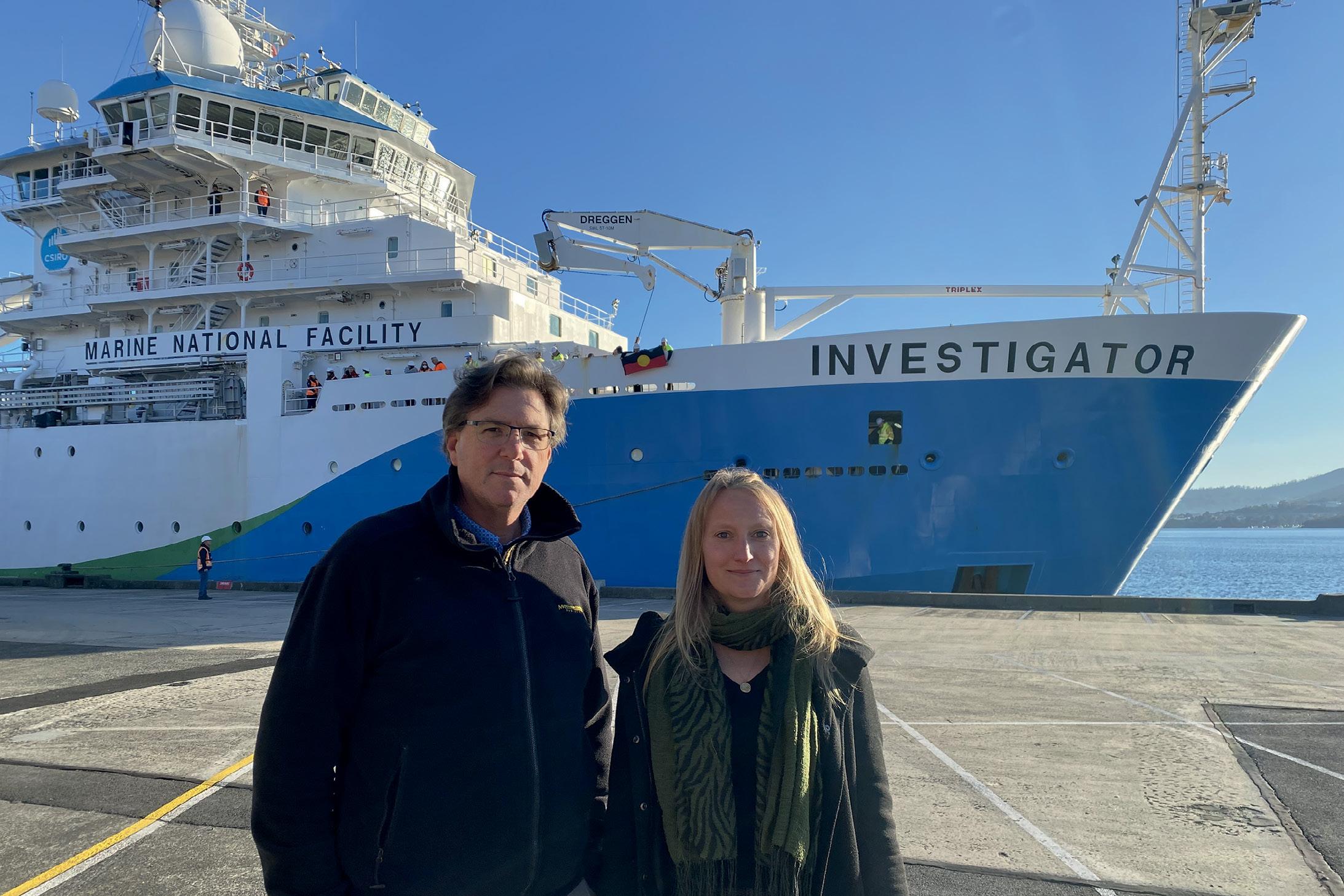
Australia’s scientific infrastructure received a significant boost in 2014 with the arrival and commissioning of the advanced ocean-class research vessel, RV Investigator. The 94-metre vessel, which is operated by CSIRO, Australia’s national science agency, represented a step change in Australia’s capability to conduct marine and atmospheric research across our vast marine estate by providing a flexible platform for multidisciplinary science including atmospheric, biological, geophysical and oceanographic research. Central to the vessel’s capability is a highly advanced suite of acoustic systems that enable high resolution seafloor mapping (bathymetry) to full ocean depth
anywhere in Australia’s Exclusive Economic Zone (EEZ) and beyond.
Ten years on, RV Investigator has mapped approximately 3 million square kilometres of seafloor and delivered these datasets to national and international repositories. In addition, the vessel has delivered programs of sub-seafloor mapping for national research efforts and been involved in the discovery of shipwrecks of national significance. These data have furnished our knowledge of the physical seafloor environment of our marine estate, contributing to national strategic objectives including ensuring our regional security and developing sustainable energy and resources.
During 2024, to ensure the vessel’s continued performance with the latest technologies, RV Investigator will undergo a middle of life refit. This will see its suite of acoustic systems updated to the most advanced systems available for high precision mapping of the seafloor and below. These upgrades will enhance the vessels’ capability to collect high quality and high quantity bathymetry data for the hydrographic community to further increase the benefit RV Investigator delivers to the nation and international partners.
Currently, RV Investigator has three multibeam echosounders (MBES) that operate at different
discrete frequency ranges, enabling bathymetric data to be collected across the range of depths encountered within the Australian marine estate, from shallow coasts to full ocean depth.
Two of these systems are permanently fitted to the vessel in a wing-shaped gondola that is located 1.2 metres beneath the vessel’s hull: a full ocean depth Kongsberg EM 122 and mid-water Kongsberg EM 710 MK2 system. A third portable system can be fitted to one of the vessel’s two scientific drop keels: a shallow water Kongsberg EM 2040C system. This configuration reflects the vessel’s primary purpose as an ocean research vessel, providing deep sea survey and exploration capabilities, but also illustrates its
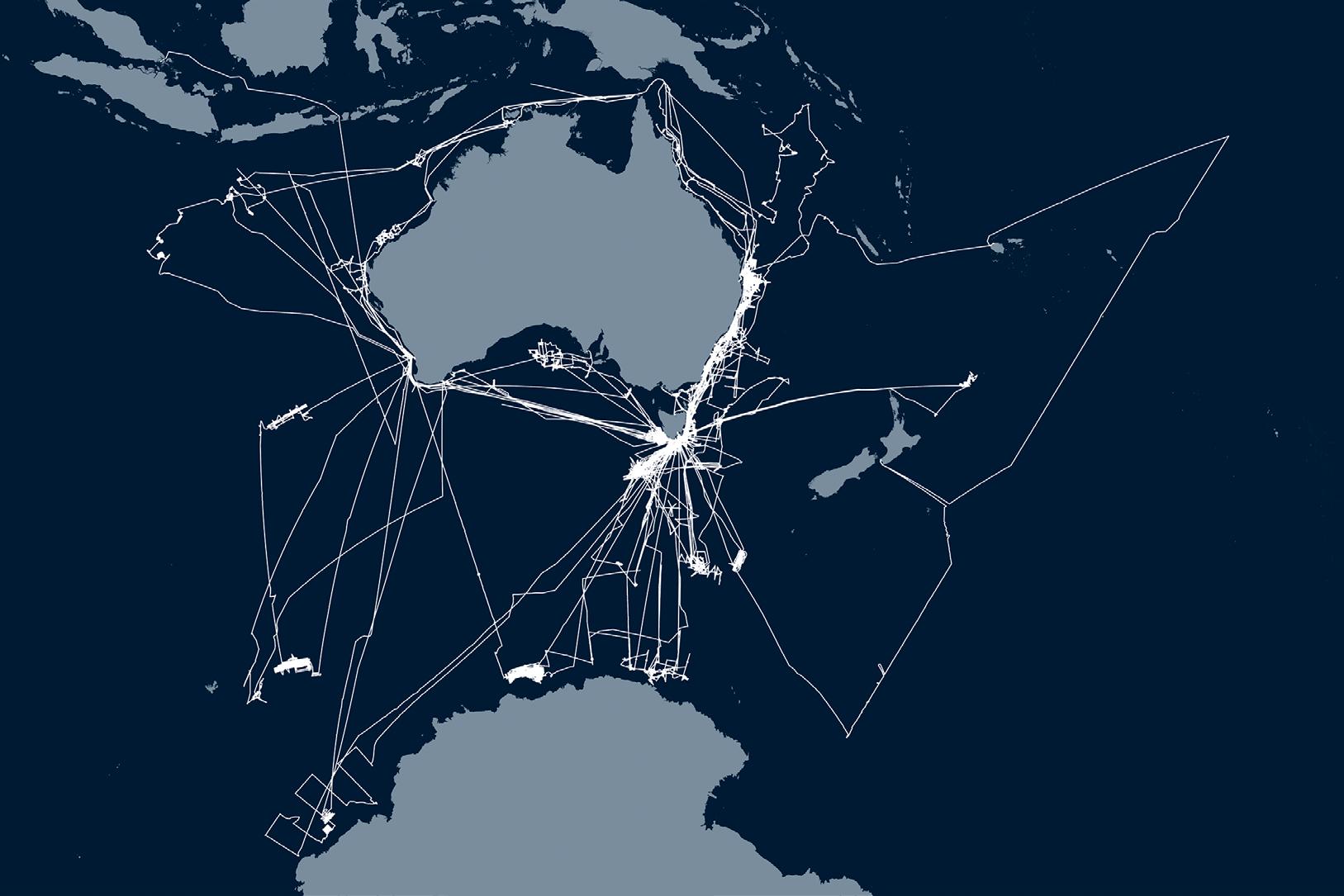
flexibility in research capability, with the addition of the portable system offering greater resolution in shallow water.
The EM 122 uses the lowest frequency of 12 kHz and can map the seafloor from 20 to 11,000 metres using a 1° x 1° beam footprint. Up to 432 beams can be employed to map a swath (ribbon) approximately six times as wide as the water depth. Mapping widths of up to 30 kilometres are possible, an impressive distance when you consider the view from a ship to the horizon is around 5 kilometres. The EM 710-MK2 operates at frequencies in the 40-100 kHz range and can employ up to 400 beams to map to approximately 2,500 metre water depths using a 0.5° x 1° beam footprint.
The EM 2040C shallow water system operates between 200-400 kHz using a 1° x 1° beam footprint. This system has the flexibility to be used with either one or two transducers (dual head), which offers additional benefit in shallow waters. In dual head transducer configuration, the sonar heads are tilted approximately 35-40° either side of the vessel, greatly increasing the efficiency of surveying in shallow waters.
The MBES systems on RV Investigator are operated in combination with a
Fugro Marinestar GNSS correction service for accurate measurement of the dynamic position of the vessel across varying operating conditions. Centimetre-level range accuracies are achievable in shallow water and highest-level accuracies to full ocean depth.
Operating the suite of MBES systems on RV Investigator are highly skilled specialists from CSIRO’s Geophysical Survey and Mapping (GSM) team. This team is responsible for managing data collection, storage and quality assurance. Importantly for a multidisciplinary research vessel, this team is also responsible for creating efficient workflows to transform in near-real-time the multitude of data streams collected into actionable information to inform decision making in voyage and research planning. For example, the bathymetric data informs targeting of deep-sea camera tows, sediment coring and benthic trawling operations, to name a few.
The GSM team consists of hydrographic surveyors, ocean mappers, geophysicists, geologists, acoustic technicians and a data manager, who collectively offer a broad range of expertise to overcome
interests and security, mapping undertaken by RV Investigator also gathers vital data for the management of our marine jurisdiction. This includes delivering mapping to support an application to increase Australia’s marine jurisdiction of the Kerguelen Plateau (which includes the Australian territories of Heard Island and the McDonald Islands) by an area the size of Switzerland. This demonstrates the important and unique capability that RV Investigator delivers for nationally meaningful marine research in our region.
the challenges of managing complex acoustic systems and maintaining quality-assured data collection.
Since 2014, RV Investigator has completed more than 105 voyages across the full extent of Australia’s marine estate. The vessel has travelled more than 400,000 kilometres on voyages between the equator and the Antarctic ice edge. During these voyages, RV Investigator’s acoustic systems have almost continuously collected bathymetric data through research-driven, underway and opportunistic surveys. Research-driven surveys have included world-first mapping of the Australian Marine Parks network for Parks Australia and surveys of shipping routes in Bass Strait for the Australian Hydrographic Office. As per the traditional role of the hydrographer, all bathymetric data collected by RV Investigator contributes to seafloor charting. Importantly, the wide area of vessel operations supports routine opportunistic mapping to ‘fill in the gaps’ in high resolution bathymetric coverage of the seafloor. This makes an important contribution to both national and international seafloor mapping initiatives.
Of note for Australia’s national
With only about 25 percent of the seafloor in Australia’s EEZ mapped to a modern standard, the wide-ranging voyages of RV Investigator have provided abundant opportunity to make some significant discoveries, including for our maritime heritage community. This is in part due to the vessel’s capacity to accommodate multiple projects on its voyages and a result of its full ocean depth mapping capabilities unlocking areas that could not previously be investigated.
In particular, the growing list of shipwreck discoveries made by RV Investigator have captured the interest and imagination of the community, while also providing closure for several enduring maritime mysteries.
In 2019, a dedicated maritime heritage survey voyage was conducted in collaboration with seafloor mapping being undertaken in Bass Strait for the Australian Hydrographic Office. The voyage, which was led by a Chief Scientist from the Australian National Maritime Museum, was successful in locating several shipwreck targets. Most notable was the discovery of the wreck of the 100-metre SS Iron Crown. SS Iron Crown was an Australian freighter that was sunk in Bass Strait during World War II after being torpedoed by a Japanese submarine. The vessel had been lost for 77 years before it was located by RV Investigator More recently, RV Investigator undertook an
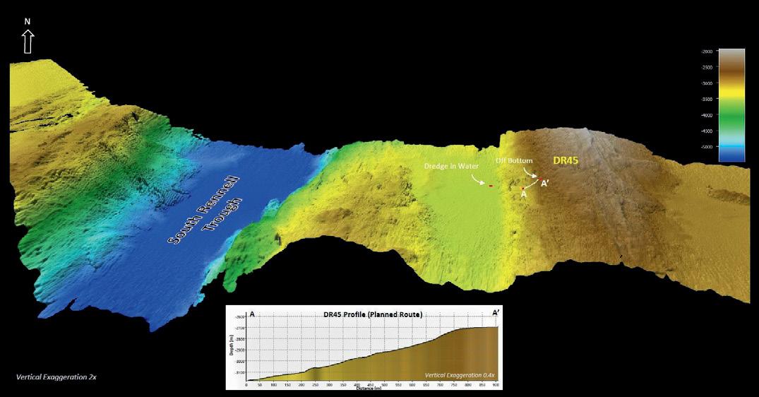
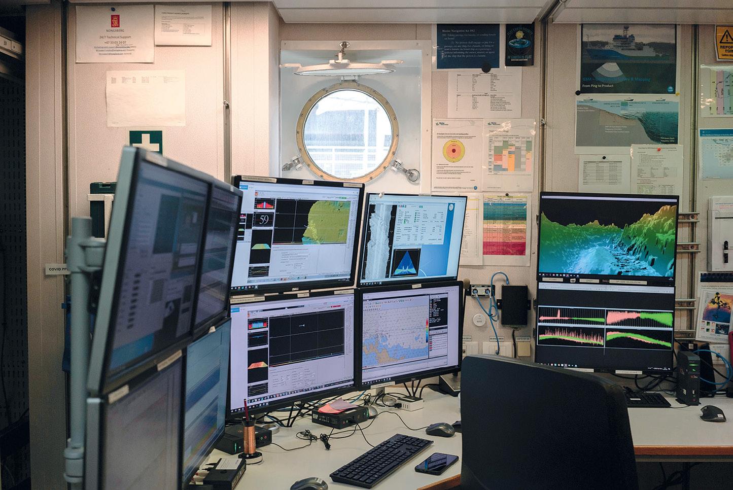
investigation of an unidentified shipwreck off the west coast of Tasmania during a geoscience research voyage in 2023. The bathymetric data collected, along with imagery captured by RV Investigator’s underwater camera systems, confirmed the wreck as that of the MV Blythe Star. MV Blythe Star was a coastal freighter that disappeared without a trace after it departed Hobart, Tasmania on 12 October 1973. This triggered the largest maritime search ever conducted in Australia to that time. Unknown to searchers, all 10 crew members were able to escape the sinking vessel into an inflatable life raft but, tragically, three crew members would die before the survivors were rescued 12 days later.
These shipwrecks added to a growing list of maritime heritage discoveries made by RV Investigator which also includes uncovering the submerged cultural landscapes of Australia’s first peoples.
In 2022, CSIRO, Geoscience Australia and the United States’ National Oceanic and Atmospheric Administration (NOAA) signed a Memorandum of Understanding (MoU) to cooperate in ocean exploration and mapping. This will enable all organisations to benefit from the combined skills and
experience that each brings to the table and open new frontiers in ocean research.
This partnership aligns with the United Nations Decade of Ocean Science for Sustainable Development (‘the Ocean Decade’) by emphasizing the importance of contributing to the Nippon Foundation-GEBCO Seabed 2030 Project, a formally endorsed Ocean Decade Action with the goal of producing a definitive map of the world ocean floor by 2030 and making the data freely available to all.
During 2024, RV Investigator will undergo its second scheduled 5-yearly dry docking.
The activity will coincide with a middle of life refit project that will see upgrades to the vessel’s scientific capabilities, utility and amenity. These upgrades are funded by the Australian Government through the National Collaborative Research Infrastructure Strategy (NCRIS). With rapid advances and developments in technology since vessel commissioning, new MBES systems will be fitted to RV Investigator to maintain its state-or-the-art capabilities as it enters the next phase of its operational life.
The MBES upgrades involve three new Kongsberg systems with the following manufacturerquoted specifications:
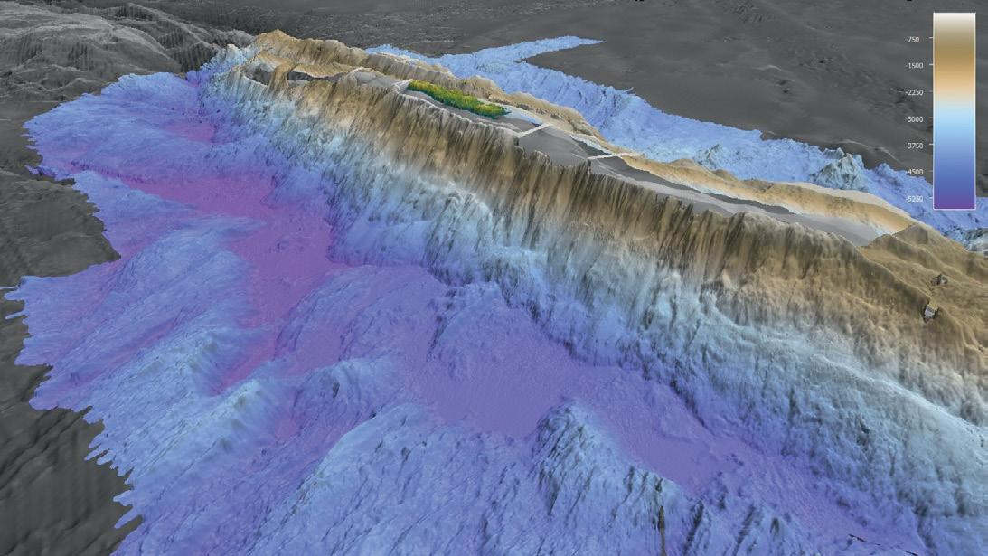
• Kongsberg EM 124 operating at 12 kHz and 1° x 1° beam footprint with mapping to 11,000 metres (full ocean) water depth
• Kongsberg EM 712 operating at frequencies in the 40100 kHz range and 0.5° x 1° beam footprint with mapping to 3,500 metres water depth
• Kongsberg EM 2040 MKII with an operating frequency range of 200 to 400 kHz and 0.4° x 0.7° beam footprint capable of mapping to 600 metres water depth. The new systems are compatible with the existing vessel infrastructure, reducing complexity for the upgrade integration and building on existing team knowledge and system familiarity. In addition to increasing operating depth for mid and shallow water surveys, the new systems will deliver a broad range of increased functionality including improved swath coverage and higher resolution data from a greater number of individual beams; enhanced small object detection in shallower waters for the EM 2040 MKII; and generally lower system noise resulting in superior data of increased resolution that will require less post-processing. In addition to increasing system and operator efficiency, the new MBES systems will also offer benefits
from more modern and sophisticated electronics. The introduction of these new MBES systems will advance Australia’s capability for seafloor mapping and ensure RV Investigator continues to deliver high quality and high quantity bathymetric data for its next 10 years and 100 voyages.
Amy Nau is a Senior Acoustics Technician and Data Analyst with the CSIRO Geophysical Survey and Mapping (GSM) team with 10 years’ experience on RV Investigator. Concurrently, Amy is undertaking a PhD candidature at the University of Tasmania. Her research focuses on multibeam water column data and developing innovative solutions for processing and analysing acoustic data for application to new areas of marine research.
Philippe (Phil) Vandenbossche is a Senior Marine Geophysical and Hydrographic Surveyor with the CSIRO Geophysical Survey and Mapping (GSM) team. Phil has 26 years’ experience that spans shallow and deep-water survey and mapping applications. He holds a BSc (Hons), MSc and is a Certified Professional Hydrographic Surveyor Level 2 (CPHS2). Concurrently, Phil is undertaking a PhD candidature at University of Tasmania. His research focuses on the evolution of the seafloor of the AustralianAntarctic Southern Ocean. n
Topcon Positioning Systems has announced the release of the HiPer CR GNSS receiver. The compact and lightweight unit is designed for cm-level, RTK accuracy for professionals in the surveying, construction, engineering, forestry and mining industries. HiPer CR provides multiconstellation tracking and can be used in a variety of configurations, including as a network RTK rover, in base and rover setups, and integrated hybrid use with a robotic total station. When used as a network rover with Topcon’s Topnet Live global GNSS correction service, it has access to high-quality data corrections.
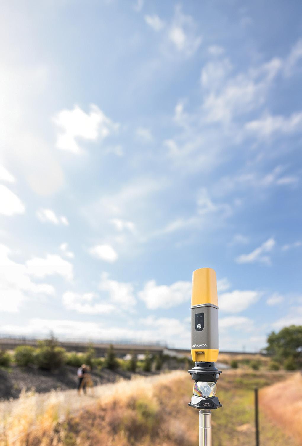
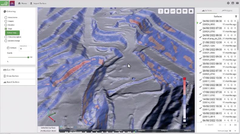
Maptek has released its GeoSpatial Manager software for mining and civil engineering users, which handles data from laser scans and drones and connects those users to realtime updates for surveyed surfaces. Smart visualisation tools enable the user to interact with as-built surfaces, enabling collaboration and accessibility for all project teams within an organisation through a web interface. GeoSpatial Manager automatically updates as-built surfaces when new data is imported, with centralised storage on a cloud or network server helping to avoid uncertainty around locating survey files that may be stored in various folders on a local or server machine.
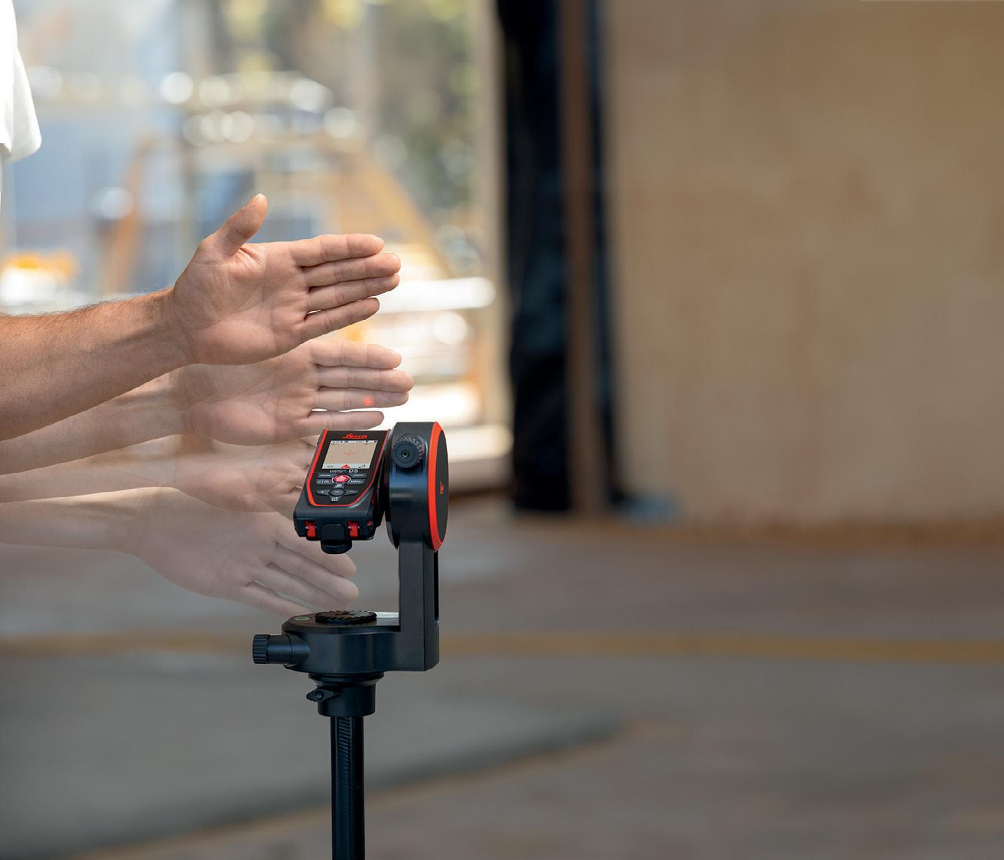
The Apogee-D from SBG Systems is an all-in-one IMU/GNSS that embeds an RTK- and PPP-ready GNSS receiver for applications where space is critical but high performance required. MEMS based, it comes with one or two antennas. The unit is fitted with very-low-noise gyroscopes, has high resistance to vibrations and has an internal Extended Kalman Filter that fuses inertial and GNSS data in real time for enhanced position and orientation measurements in harsh environments (bridges, tunnels, forests etc). With features that include 0.008° roll and pitch over 360°, 0.015° heading when
Leica Geosystems has introduced the DISTO D5 and DISTO X6 handheld laser distance meters, which, the company says, offer faster and more accurate measurements and superior outdoor performance, as well as greater durability and extended battery life. And in what Leica says is an industry-first, users can trigger measurements by simply interrupting the laser beam with their hand, removing the risk of moving the device when pressing a button. Both units offer 1mm accuracy and a maximum range of 200 m and 250 m respectively, integrated digital Pointfinder and a highresolution display with zoom function. Both are equipped with Bluetooth for integration with the DISTO Plan App, and the DISTO X6 can be paired with the DST 360-X tripod adapter.
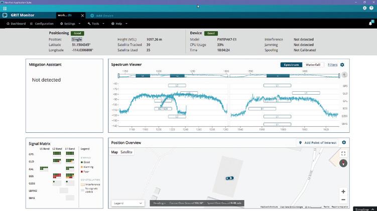

Hexagon | NovAtel has announced the release of Version 2 of its NovAtel Application Suite, which includes the GNSS Resilience and Integrity Technology (GRIT) Monitor for providing GNSS radio frequency interference insights. GRIT is an RF interference detection and mitigation technology available on all OEM7 GNSS receiver products. Included in the GRIT Monitor dashboard are Positioning and Device status overviews, a Mitigation Assistant that indicates whether interference is detected, an interactive Spectrum Viewer showing all constellations and frequency bands (spectrum and waterfall), and a Signal Matrix indicating the signal quality.

Kate Lundy President/Chair
Kate Ramsay Deputy Chair
Alistair Byrom Deputy Chair
Jacinta Burns Director
Paul Digney Director
Stewart Dunne Director
Mary-Ellen Feeney Director
Darren Mottolini Director
Roshni Sharma Director
Last month at our annual national geospatial conference, Locate24, the Honourable Kate Lundy, Chair of GCA, launched the preliminary findings of our ‘Economic impact of geospatial services in Australia’ Report. GCA commissioned the study (with the support of key partner organisations), and it was carried out by a team from ACIL Allen.
ACIL Allen last undertook an equivalent study to determine the economic impact of geospatial information to the Australian economy in 2008. Titled ‘The Value of Spatial Information,’ the 2008 study was the first of its kind to determine the impact of modern geospatial information technologies on the Australian economy. It estimated the impact of spatial information to be between $6 billion and $12 billion, and a figure of $9 billion was adopted for 2006–07.
Over the 17 years since then, the annual direct economic impact of geospatial information has grown considerably; partly due to the geospatial sector becoming critical to the economy. Few, if any, industry sectors
are not using geospatial technologies in their operations. Government is one of the biggest users of geospatial products, supporting critical activities, and geospatial information is now essential to sectors such as: finance and insurance, mining and resources, energy, construction, transport and logistics, agriculture and forestry, education and more. Geospatial information is at the heart of big data, and it is considered that about 80% of the world’s information can be depicted and or analysed spatially.
After extensive analysis and economic modelling, ACIL Allen estimates that the geospatial sector will add an additional $39 billion to Australian gross domestic product (GDP) and create over 12,000 jobs in 2023–24. By 2033–34, it is projected that the contribution could be an additional $81 billion in GDP and 22,000 jobs, assuming a favourable operating scenario. This is a cumulative gain of around $650 billion over the next ten years, and 17,000 jobs! These forward-looking projections can be considered conservative as the analysis has

yet to include actual impacts from digital twins, which are potentially significant.
Geospatial services and information deliver economic benefits to a broad range of endusers and beneficiaries in each Australian state and territory. However, each state and territory’s economy is structured differently. This means that economic impacts are not evenly distributed across Australia but are proportionate to the size of the economy in each state and territory. The report therefore breaks down the impact by state and territory.
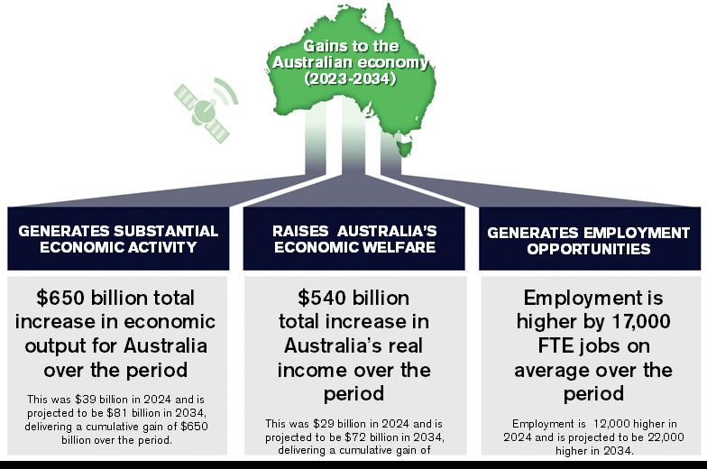
Beyond the headline value of geospatial information and its contribution to employment, it is challenging to quantify and monetise the aggregate social, environmental, and other impacts of geospatial services and information, which have been delivered to a wide range of beneficiaries and end-users. Geospatial services and information are a broad offering and have a variety of different uses and users. Specific industries make use of geospatial information in different ways, but the benefits it brings to our national economy are undeniable.
Geospatial information is responsible for significant productivity gains and efficiencies for a wide range of industries, helping Australia to become more competitive. Much of the geospatial information and the services available to the public are freely accessible, and many of us do not even realise that we make use of geospatial information on a daily basis, let alone the value it adds to our lives in terms of more efficient decision-making,
The International Federation of Surveyors (FIG) and GCA are pleased to be hosting the international FIG Working Week 2025 event at the Brisbane Convention & Exhibition Centre from 6 to 10 April 2025. Australia’s Locate25 conference will form part of the Working Week.
The overall theme for Working Week 2025 is ‘Collaboration, Innovation and Resilience: Championing a Digital Generation’. The event will feature an exciting and insightful technical programme with local and international practitioners, allied professionals and academics speaking on their field of expertise.
What to expect:
• 3-day conference
time saved and costs avoided. Geospatial information and services can even save lives. Therefore, to demonstrate industry and societal benefits beyond headline figures, a series of case studies are presented in the report, to illustrate the diverse nature of the impact delivered by geospatial services. They illustrate how a range of key industries are benefiting from geospatial services and information, and how these increase industry productivity and noneconomic impacts and social goods, which are highly valuable but more challenging to quantify in monetary terms.
Growth in geospatial over the last five years has been very flat in Australia due to significant funding constraints within state and federal government, low investment from the private sector, and of course the COVID pandemic. However, even prior to that period Australia has lagged the global average growth rates in geospatial. If we can achieve optimal conditions in Australia over the coming decade, we will move closer to the current global average of the compound average growth.
The full version of the report, which will

• 1,000–1,500 international and national attendees
• Pre- and post-events
• 70+ sessions
• 80+ countries represented
• Dedicated networking opportunities
• Comprehensive exhibition
The call for papers and registration will be opening in June. Please visit fig.net/ fig2025 for more information.
be published in late June, will be a key foundation of GCA’s future advocacy work with the federal, state and territory governments, as it is crucial for the economic impact to be taken seriously. There is currently very low public awareness of geospatial and the impact it has in day-to-day life, as well as on businesses and services that many people depend on. This report is therefore the first of several steps in educating governments and the public.
By understanding where we stand today and envisioning our potential influence on the national economy over the next decade, we hope to shape policies that will not only foster growth but also position the geospatial sector at the heart of Australia’s broader narrative.
The preliminary report can be downloaded from geospatialcouncil.org.au. n
Tony Wheeler CEO, Geospatial
Council of Australia
State and Territory Chairs and Co-Chairs
NSW Chair
Brittany Baker
NSW Vice-Chair
Hanno Klahn
ACT Chair
Mike Stapleton
Queensland Chair
Cameron Brittain
Queensland Vice-Chair
Koray Ozdogu
South Australia Chair
Graham Walker
South Australia Vice-Chair
Jennifer Brindle
Tasmania Chair
Anthony O’Flaherty
Victoria Chair
Nicole Kiely
Western Australia Chair
Laren Collen
GDARS Chair
Dr Jagannath Aryal
Surveying Chair
Mike Stapleton
Hydrography Chair
Neil Hewitt
Young and Emerging Professionals Chair
Oscar So
In the bustling world of construction, where concrete meets creativity, Alison Watson is a trailblazer, reshaping education to prepare the next generation of industry professionals. Her journey from land surveyor to founder and Chief Executive of the education consultancy and social enterprise ‘Class Of Your Own’ (COYO), is a testament to passion meeting purpose. With an MBE (Member of the Order of the British Empire) under her belt for services to education, and accolades from prestigious institutions, Alison’s story is one of dedication, innovation and a firm belief in the power of education to shape the future.
Alison’s journey began back in 2004, when she landed a contract as a surveyor working on the UK government’s ‘Building Schools for the Future’ construction program. From the streets of East London to the northeast of England, Alison’s team spent many days surveying secondary schools. During this time, she found herself not just measuring buildings, but also igniting a spark of curiosity among teachers and students. Despite their initial
unfamiliarity with her profession, Alison’s passion for her work was infectious. To her, surveying was more than just a job — it was a gift, one she often referred to as “the best job in the world”. So, in the playgrounds of English schools, Alison and her team had a blast engaging with the kids, demonstrating the practical applications of accuracy, measurement, geometry, scale and ratio in real-life projects. It was immensely rewarding to see the children’s enthusiasm as they dived into the world of surveying, even if it was just for a day.
However, as with any journey, Alison encountered obstacles along the way. The construction recession of 2008 brought about a challenging period, as the demand for her services dwindled. At the end of that year, she therefore made the bold decision to take a break from her work and channel her energy into something new — a project aimed at complementing the school building program and inspiring young minds. Over the next six months, Alison created a fun project called ‘A Class of Your Own’. It was essentially a ‘Dragon’s
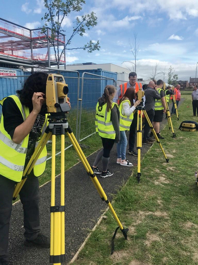

Den’ enterprise day, designed to empower children to unleash their creativity and entrepreneurial spirit. Teams of children were tasked with setting up companies specialising in ‘Eco Classrooms’ and pitching their ideas to their head teachers. Supported by real-world professionals, the children embraced roles in surveying, engineering, architecture, sustainability and business leadership, to create a learning centre for local people to learn about sustainability in their everyday lives. The success of A Class of Your Own inspired Alison to make a lasting impact in education. In 2009, she officially established COYO and never returned to life as a land surveyor.
The mission of COYO is “to educate the future of construction”. Through it, Alison hopes to inspire, educate and empower the next generation of construction professionals by recognising the pressing challenges facing the built environment sector, from climate change to technological disruption. Today, at the heart of COYO lies its flagship program, Design Engineer Construct! (DEC), a specialised

curriculum designed to bridge the gap between classroom learning and industry demands. DEC offers students a pathway to exceptional careers, blending STEM projects with recognised qualifications and practical experiences. Through DEC, students don’t just learn; they thrive, developing critical skills and a deep understanding of the built environment. It empowers them to think critically and creatively about the built environment while preparing them for the digital, net zero future of the industry. DEC has also made a big impact outside the classroom.
Alison says that “Students become more confident and eager to learn, while teachers notice increased engagement”.
Alison and the COYO team work closely with industry partners to keep its programs relevant. By teaming up with companies through the ‘Adopt A School’ scheme, students get real-world experience and job opportunities. “These partnerships are vital for education, shaping future talent and making a positive impact on society and the environment,” says Alison. “They’re not just about charity; they show organisations as leaders in sustainability and innovation, giving employees a chance to inspire students firsthand.”
Reflecting on her journey, Alison takes pride in the many projects and initiatives that COYO has undertaken. From collaborating with Jamie Oliver’s team to design a restaurant, to partnering with the UK’s ‘New Hospital Programme’ on innovative healthcare solutions, COYO’s impact resonates far beyond the classroom. “It’s about fostering creativity, resilience, and a passion for learning — a legacy that continues to inspire teachers and students alike,” says Alison.
As Alison looks to the future, her aspirations for COYO are bold yet achievable. With a focus on localisation and innovation, she aims to expand COYO’s reach, making a positive impact on even more young lives. Through strategic partnerships and a commitment to excellence, she envisions a world where every child has the opportunity to thrive, regardless of their circumstances.
In recognition of her tireless efforts, Alison has received numerous accolades, from an MBE to an honorary degree. Yet, for her, the greatest reward lies in seeing the impact of COYO firsthand — the smiles on students’ faces, the spark of curiosity in their eyes, and the knowledge that they are ready to shape the world around them. As she continues to shape the landscape of construction education, Alison’s legacy will undoubtedly endure, as she continues to influence future generations. n
GCA is proud to be a partner of the Class of Your Own (COYO) ‘Design…Engineer… Construct! (DEC) Challenge for 2024, and we are calling on industry to get involved! Although this challenge is aimed at secondary school students from the ages 11 to 16, industry plays a big role in helping to make this challenge a success.
The 2024 Challenge will see students to tackle real-world problems and gain valuable project-based learning experience by designing a net-zero rail station hub and route. Although this is a global challenge — with schools from China, Dubai, India, Lithuania, Scotland, and England already registered — we are keen to get as many schools in Australia on board as possible.
If you want to get your local school on the right track, please sign up as a volunteer so that we can connect you. It’s a great way to support STEM, social value and CPD activities. Whether you can host webinars, create informative videos, or virtually/physically visit schools, your expertise is needed. Your help will be


invaluable. And if you have a connection with any local schools, we encourage you to get them involved. Only one team per school may enter, creating a little internal competition to showcase the best of the best! Schools can register their interest at designengineerconstruct.com/ designchallenge2024.
Key dates:
• Closing date for entries: 31 July 2024, 12:00pm GMT
• Finalists notified: 2 September 2024
• Finalists present to judges and winner announced: October 2024
Geospatial Excellence Award
Nominations for the Geospatial Excellence Awards for the 2024 season are now open. As the industry’s premier platform to celebrate the achievements of top geospatial organisations and individuals, the Awards showcase the finest projects and professionals the industry has to offer.
Nominations are invited from geospatial professionals and organisations either based in or undertaking work in Australia and/or New Zealand, and are open until Friday, 12 July.
The Industry Awards are open to any organisation — private, public, academic or not for profit — provided the evidence submitted relates to geospatial activities within the 18 months prior. Nominations should be submitted in the region the project took place (not the location of head office/staff). Organisations of all sizes, from sole traders to large national firms, are encouraged to enter.
The Individual Awards are open to any individual in the geospatial field, with the exception of the Professional and Future Leader of the Year Awards, where nominees must also be current individual members or employees of organisation members of the Geospatial Council of Australia or Survey + Spatial New Zealand. Nominations for individual awards should primarily relate to activities undertaken in the 18 months prior to submission.
The judging panels provide expert, objective and independent opinions on the merits of the nominations entered. Panels are established for each category and are comprised of industry peers, associates and advisors from across all regions of Australia, New Zealand and the Pacific, inclusive of professionals of diverse areas of speciality, experience, gender and cultural backgrounds.
For more information, or to submit a nomination, please visit geospatialexcellence.awardsplatform.com
