
1 minute read
Historical Time Frame (2006-2019


In this map, there was to be less settlements instead of supermarket and private hospital-Ideal Nurisng Home in 2006. These area was under developed in the vicinity of NH 112, and mostly was filled with greenary.
This picture is of 2011 of the same location. It can be viewed that this area is more developed with residential communities in both corners, and more commercial blocks.
Advertisement

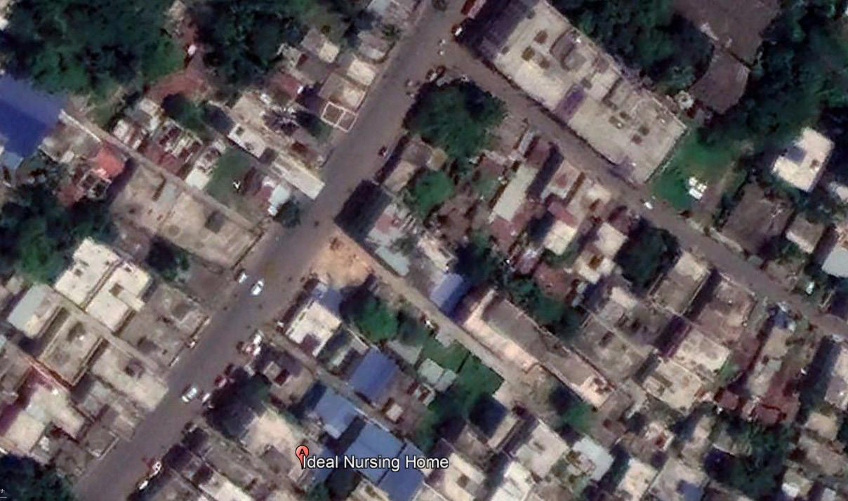
In 2019, this area is more deveopled and less greenary comperativetively to 2006 and 2011. More settled localhood and road is widened on demand and streets are more visible.
Figure 34. History location from 2006 to 2019, Google Earth Pro


