2 minute read
Letters


Editor:
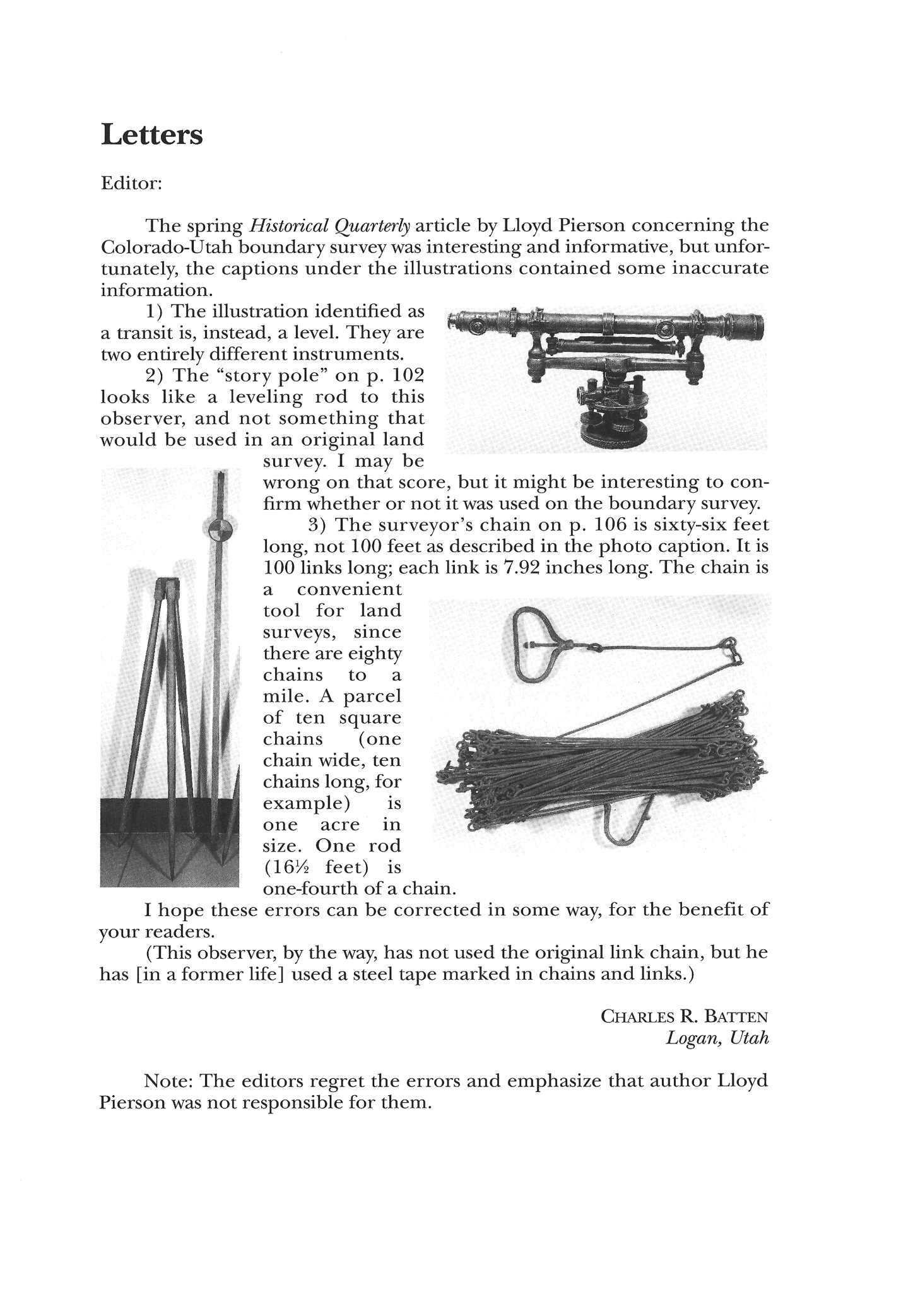
The spring Historical Quarterly article by Lloyd Pierson concerning the Colorado-Utah boundary survey was interesting and informative, but unfortunately, the captions unde r the illustrations contained some inaccurate information.
1) The illustration identified as a transit is, instead, a level They are two entirely different instruments.
2) The "story pole" on p 102 looks like a leveling rod to this observer, and not something that would be used in an original land survey I may be wrong on that score, but it might be interesting to confirm whether or not it was used on the boundary survey.
3) Th e surveyor's chain on p 106 is sixty-six feet long, not 100 feet as described in the photo caption. It is 100 links long; each link is 7.92 inches long The chain is a convenient tool for land surveys, since there are eighty chains to a mile. A parcel of ten square chains (one chain wide, ten chains long, for example) is one acre in size. On e rod (I6/2 feet) is one-fourth of a chain.
I hope these errors can be corrected in some way, for the benefit of your readers.
(This observer, by the way, has not used the original link chain, but he has [in a former life] used a steel tape marked in chains and links.)
CHARLES R BATTEN Logan, Utah
Note: The editors regret the errors and emphasize that author Lloyd Pierson was not responsible for them.