Adopted March 2024
2
Contents
Acknowledgements
Opening City Manager Letter
Executive Summary
Introduction
What is Worcester Now | Next?
How was the Plan made?
Plan Framework
How to use this Plan
Part 1: Worcester Now People Places Policies Ideas
Part 2: Worcester Next
Plan Headlines
Growth Framework
Topic-Specific Policy Guides
Implementation Appendices
Appendix A. Community Engagement Summary
Appendix B. Scenario Planning Detailed Method
Appendix C. Glossary of Terms
I II III 0 0.1 0.2 0.3 0.4 1 1.1 1.2 1.3 1.4 2 2.1 2.2 2.3 2.4 3 3.1 3.2 3.3 4 7 8 16 18 19 24 26 30 32 40 60 76 84 86 88 99 152 161 162 170 174
Contents City of Worcester 3
Acknowledgements
Worcester Now | Next relied on the collaboration of leaders and partners across the city. The plan was led by the Planning and Regulatory Services Division of the Executive Office of Economic Development, under the oversight of the Planning Board, and benefitted from the input and guidance of a wide array of City departments as well as the Advisory Committee and Topic-Specific Working Groups, which included representatives from the many institutions, community organizations, and partner agencies that serve Worcester’s communities. Finally, Worcester Now | Next reflects the time and valuable input provided by the residents and Worcester community members that shared their lived experiences, convictions, and ideas for what Worcester can and should be in the decades to come.
There are many City staff, community members, and partner organizations not listed below that dedicated their time and effort to staff major public engagement events, review recommendations, and conduct outreach to ensure this planning effort reached the broadest and most representative cross-section of Worcester possible. Please see the Community Engagement Summary Appendix for a more complete list.
City of Worcester
City Council
• Joseph M. Petty, Mayor & Councilor-at-Large
• Morris A. Bergman, Councilor-at-Large
• Donna M. Colorio, Councilor-at-Large
• Khrystian E. King, Councilor-at-Large
• Thu Nguyen, Councilor-at-Large
• Kathleen M. Toomey, Councilor-at-Large
• Sean M. Rose, District 1 Councilor
• Candy F. Mero-Carlson, District 2 Councilor
• George J. Russell, District 3 Councilor
• Sarai Rivera, District 4 Councilor
• Etel Haxhiaj, District 5 Councilor
Office of the City Manager
• Eric D. Batista, City Manager
• Hung Nguyen, Assistant City Manager City Staff
• Peter Dunn, Executive Office of Economic Development, Chief Development Officer
• Michelle M. Smith, Assistant Chief Development Officer, Planning & Regulatory Services Division
• Stephen S. Rolle, PE, Commissioner of the Department of Transportation and Mobility
• Olivia Holden, Planning Analyst, Planning & Regulatory Services Division Planning Board
• Adrian Angus, District 3
• Albert LaValley, Chair, District 2
• Brandon King, District 4
• Conor McCormack, District 5
• Edward Moynihan, Vice Chair, District 1
Acknowledgements Worcester Now | Next 4
Advisory Committee
• Mark Borenstein, Bowditch & Dewey, LLP, Land Use Attorney, Worcester Resident
• Roberta Brien, Worcester Business Development Corp (WBDC), Vice President of Projects
• Lynn Cheney, Business owner, Maker to Main, Worcester Resident
• Germán Chiriboga, UMass Chan Medical School, Program Director, Worcester Resident
• Amanda Gregoire, Mass Development, Vice President of Real Estate Services, Worcester Resident
• Sujatha Krishnan, Central Massachusetts Regional Planning Commission (CMRPC), Deputy Director
• Albert LaValley, Planning Board Chair, Worcester Resident
• Joyce Mandell, Urban Planning Partnership, Worcester Resident
• Amie Shei, The Health Foundation of Central Massachusetts, President and CEO
• Casey Starr, Main South CDC, Director of Community Initiatives, Worcester Resident
• Ivette Olmeda, MassDevelopment Worcester TDI Fellow, Worcester Resident
• Suzanne Wood, UMass Chan Medical School, Sustainability Manager
• Ulysses Youngblood, Business owner, Major Bloom, Worcester Resident
Consultant Team
Utile, Planning and Urban Design
• Tim Love, AIA, Principal-in-Charge
• Will Cohen, AICP, Advising Senior Planner
• Zoë Mueller, AICP, Project Manager and Senior Planner
• Guillermo Creamer, Jr., Community Organizer
• Rahi Patel, Planner
• Serena Galleshaw, Planner
• Adam Himes, LEED AP BD+C, Urban Designer & Architect
• Andrea Baena, Planner & Urban Designer
• Taskina Tareen, AICP, Planner & Urban Designer
• Avery Robertson, Graphic Designer
• Kyle Jonasen, Graphic Designer
• Jeff Geisinger, AIA, LEED AP, CPHC®, Associate Principal, Director of Sustainable Design
HR&A, Economic Analysis
• Shuprotim Bhaumik, Partner
• Vidhee Garg, Principal
• Kyle Vangel, Principal
• Harman Dhodi, Analyst
• Zada Smith, Research Analyst
Nelson\Nygaard, Transportation and Mobility Planning
• Tien-Tien Chan, Principal
• Jason Novsam, Senior Associate
• Miranda Adams, Associate
Rivera, Equity and Engagement Strategy
• Jon Hillman, Senior Consultant and Researcher
• Will MacArthur, Junior Research Consultant
Brown, Richardson + Rowe, Landscape Advisory
• Dave Andrews, RLA, Principal
Acknowledgements City of Worcester 5
6
Letter from City Manager Eric D. Batista
Dear Worcester Community,
With great pleasure, I share with you the Worcester Now | Next Long-Range Plan for our city. Years in the making, this framework outlines our shared vision for the community that we want to see for Worcester through 2040. On its face, Worcester Now | Next focuses on the development of our built environment. But it represents far more than that. Think of it as a quilt that stitches together the topical plans we have crafted to date—from the Green Worcester Plan to the Cultural Plan—and provides a blueprint for how the city should be shaped to advance the commonalities and shared goals of those plans. At the same time, it was sewn together based on the guiding principles of equity, inclusion, integrity, innovation, and resilience.
Worcester Now | Next is also about your observations, ideas, desires, and concerns about the city. I am grateful for our community members who engaged with this process and shared their input for all that our city can be, and should be, in 2040. Those ideas of today will shape our next chapter.
It has been nearly 40 years since the city last embarked on a comprehensive long-range plan, and we now find ourselves in a very different place, faced with new challenges and new opportunities. It is a chance to chart a collaborative path forward as our city continues to grow and be shaped by shifting demographics. It is a time to seize the moment and embrace change, and that moment deserves a new plan of this magnitude.
Worcester Now | Next is a roadmap that will bridge generations. We are building not just for ourselves, but for our children and grandchildren. The youth of today will be adults by the time the plan is fulfilled, and they will have witnessed a great transformation.
Neighborhoods will flourish and look different as they become safer, more accessible, and more equitable. Businesses and organizations will grow and evolve, attracting the top talent and entrepreneurial minds motivated to lead us forward. Visitors will be drawn in by new attractions and creative endeavors in all corners of the city. Worcester Now | Next will enable our innovation, cultural diversity, and ingenuity to shine through, grounded in shared experience, inclusivity, and sustainability.
This is a living plan intended to evolve alongside the city, as we continue to evaluate, refine, and adjust it to ensure progress through 2040 and beyond. We must all work together to implement Worcester Now | Next and hold ourselves accountable. My administration has already started to act on the plan’s priority recommendations, and we are using it to inform a new municipal operations Strategic Plan to make Worcester the best run city in the country.
I am excited to work alongside you and accomplish our goals together. In service,
Eric D. Batista
City Manager for
the City of Worcester

Letter from the City Manager City of Worcester 7
Executive Summary
Worcester Now | Next is the City of Worcester’s long-range citywide plan. It captures the vision and values of our community and provides a framework to guide the way that we invest and shape our city in the next 10 years, especially in terms of development and infrastructure. By working within this framework, future topic—and area-specific plans will tie together to achieve more than any one plan or initiative could on its own.
You can learn more about the plan at now-next.worcesterma.gov
Process
Over the course of two years, from early 2022 to early 2024, the Worcester Now | Next process engaged a wide variety of community members and stakeholders in the collective creation of a plan that could reflect the aspirations and needs of the Worcester community now, and in the city’s next chapter. This process was grounded in the work of a part-time local community organizer and consisted of two phases: a visioning phase in which we listened and learned in order to identify issues and opportunities, and a recommendation development and prioritization phase in which we drilled down into the details of how to achieve the vision and goals that emerged from the visioning phase.
Vision
In Worcester’s fourth century, we envision a creative city of neighbors who value inclusion and celebrate diversity. We will uplift our city by investing equitably in our communities, connecting our neighborhoods to opportunity, and prioritizing sustainable growth that supports improved quality of life for all.
Executive Summary Worcester Now | Next 8
Through the foundational work of the local organizer and partnerships with community organizations, this planning process was able to build a robust network to disseminate information and create opportunities to engage people where they were. All aspects of the public engagement effort were bilingual (English and Spanish), key information was shared in the top 6 languages in Worcester (Portuguese, Twi, Vietnamese, Arabic, Albanian, and Swahili), and public workshops were adapted to support hearing and visually impaired participants. This robust foundation enabled us to hear from Worcester community members that are often under-represented in planning processes like this one.
Engagement by the numbers
email newsletter subscribers
Phase 1: Visioning
Citywide Online Visioning Survey
Participants
Statements Submitted
Public Visioning Workshops
Attendees
Comments Submitted
Visioning Listening Tour
Community Event Pop-ups
Vision Cards
1,030 13 258+ 3 1,377 780+ 1,241 100+ 755
Focus Groups
Seniors + Accessibility
Spanishspeakers Youth
Phase 2: Recommendations & Prioritization
Priority Goals Questionnaire
Responses
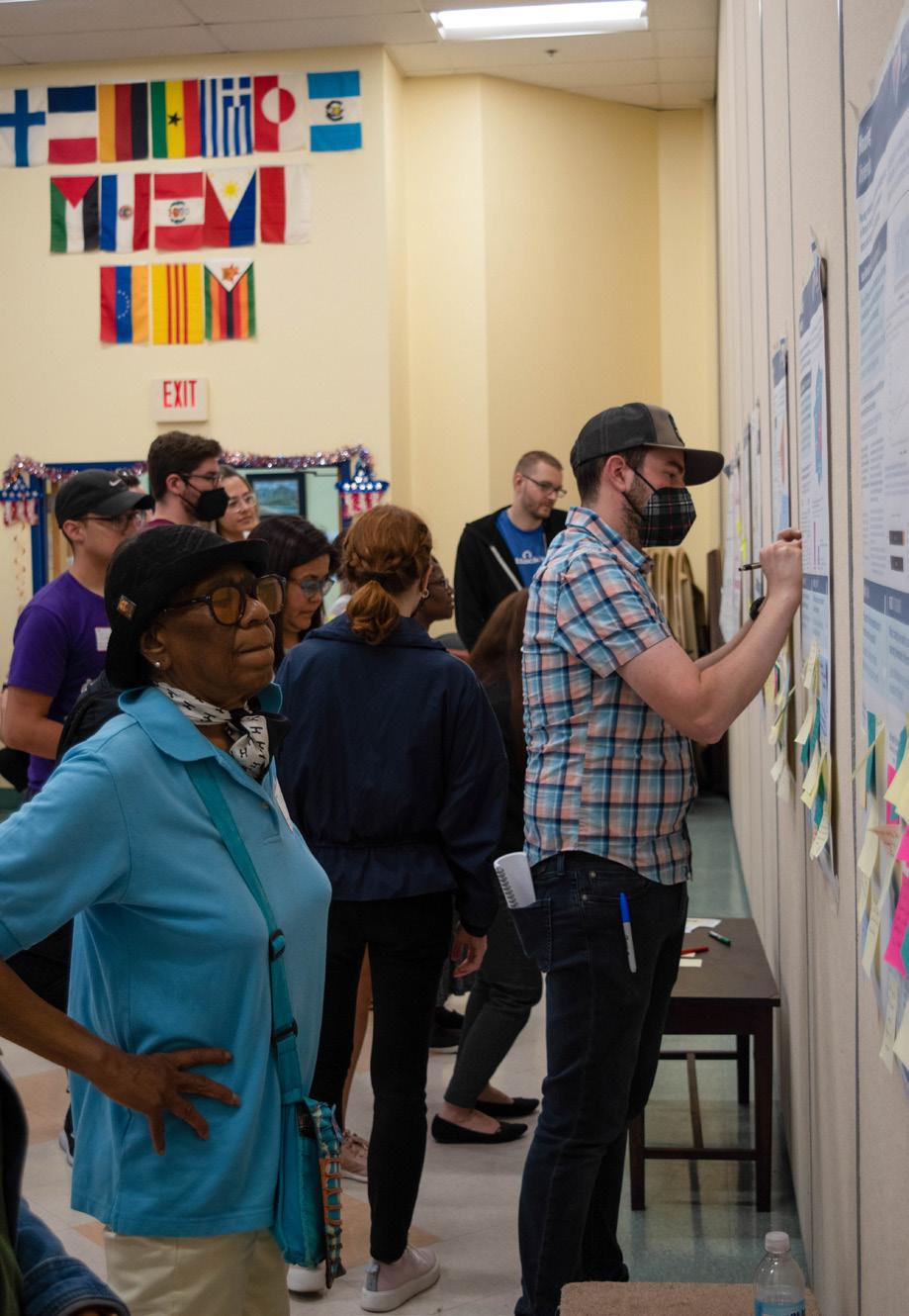
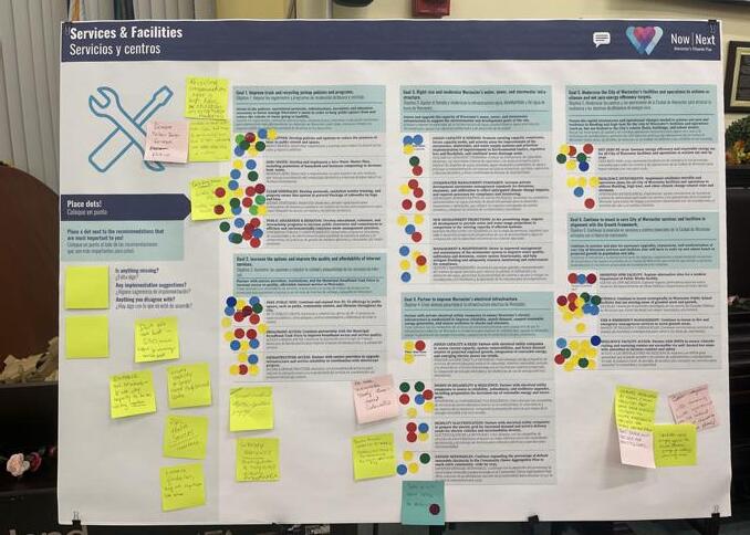
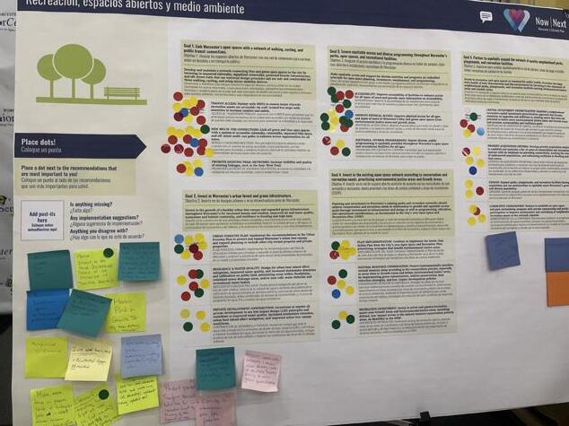
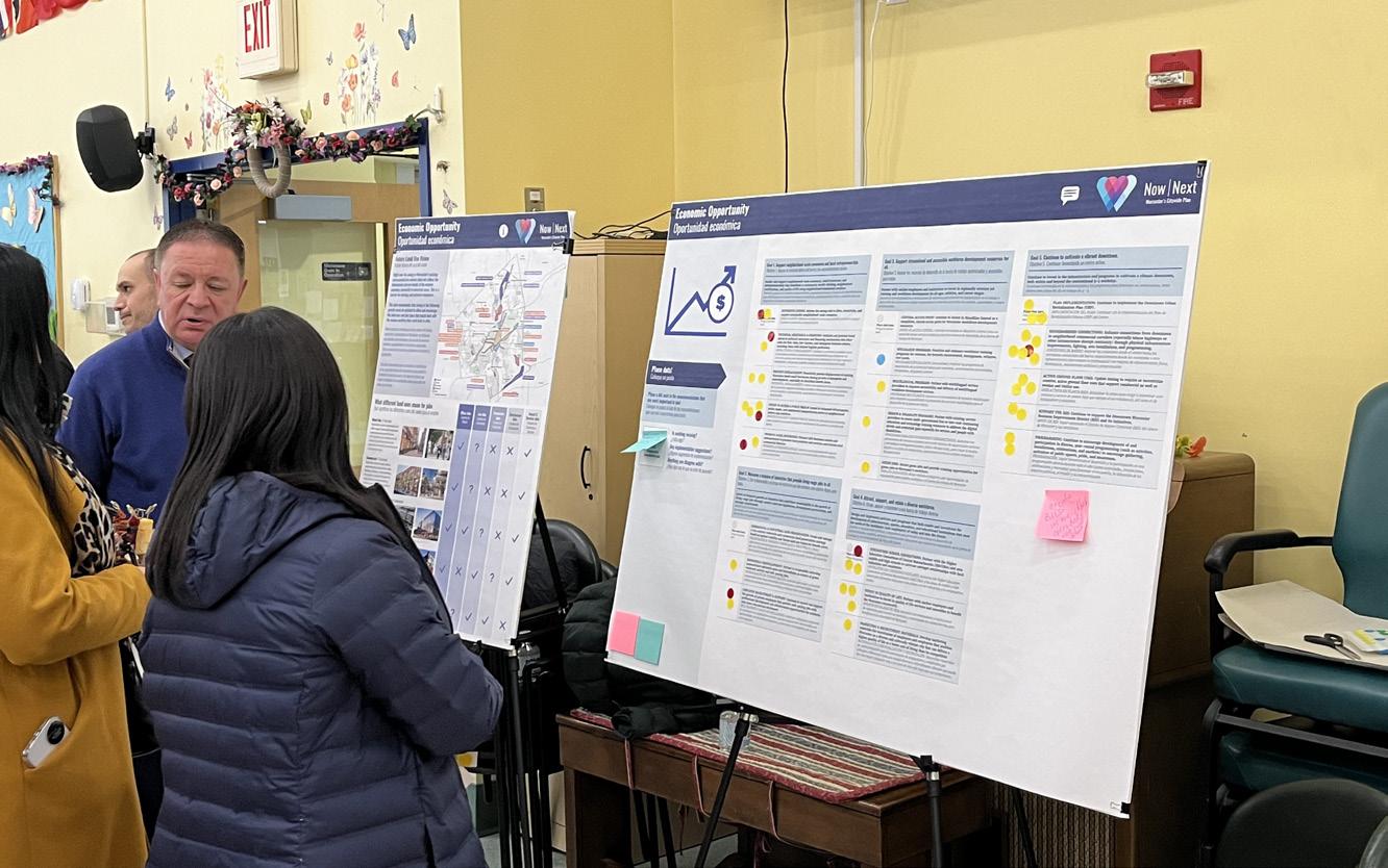
Public Draft Plan Workshops & Library Exhibit
Attendees
In-person Attendees
Virtual Registrations
Written Comments
Recommendation Sticky Dot Votes
50+
150+
113+
63 2,025+
Executive Summary City of Worcester 9
Plan Headlines
Three plan headlines emerged from the extensive engagement and analysis conducted through this planning process. These headlines represent the core of what this plan is about, and what it positions the City to act on in the next few years.
A values-centered framework for growth that benefits all Worcester community members. Equitable and sustained public investment in Worcester’s neighborhoods.
A more connected and accessible city for all.
A values-centered framework for growth that benefits all Worcester community members.
Worcester is growing and changing at a rapid pace. Worcester Now | Next provides a roadmap for how to accommodate growth and manage change in a way that reflects the community’s collective values and goals. We heard that people want equitable, sustainable, and resilient transit-oriented development; more diverse and affordable housing options that meaningfully address the housing crisis; and vibrant mixeduse neighborhood centers and corridors that are walkable and accessible to people of all ages and abilities. To achieve that and ensure Worcester’s continued growth benefits all Worcesterites for generations to come, we need new zoning, an action plan to address mobility gaps, and assessments of what infrastructure improvements are needed to support that growth.
How we advance this:
1. Implement selective, targeted zoning updates on special issues such as (but not limited to) enabling Accessory Dwelling Units (ADUs), reducing parking requirements where appropriate, and establishing tree protection and planting requirements.
2. Initiate a zoning overhaul to align the zoning map with the Growth Framework established through this plan, to address aspects of the current ordinance that perpetuate segregation and inequity or undermine the viability of desired development throughout the city, and to improve the clarity and user-friendliness of the ordinance.
3. Complete and implement the Mobility Action Plan (MAP) to identify and prioritize more specific capital, operational, and programmatic projects to advance safe, equitable, and sustainable transportation in Worcester in support of the Growth Framework.
4. Complete infrastructure capacity and needs assessments to confirm current capacity of electric, stormwater, and sewer infrastructure and identify the investments needed to support the Growth Framework and Future Land Use Vision developed through this plan.
Executive Summary Worcester Now | Next 10
Equitable and sustained investment in Worcester’s neighborhoods.
There was widespread recognition that Downtown and the Canal District should continue to be critical areas of focus for planning, investment, programming, and creative development initiatives that support the vitality of the city’s core. However, community input throughout this planning process highlighted strong interest in a renewed focus on Worcester’s diverse neighborhoods through more coordinated land use and infrastructure planning and strategic investment in neighborhoods, corridors, and districts beyond the downtown core. With the support of community partners, the City is committed to pursuing coordinated, equity-centered local planning, policies, and public investment that will collectively reinforce the vitality of mixed-use neighborhood centers that support resident quality of life and small business health.
How we advance this:
1. Neighborhood and corridor planning that integrates land use, transportation, and infrastructure investment strategies to
A more connected and accessible city for all.
Worcester is rich in assets, amenities, and community anchors. However, access to those things is uneven and largely automobile dependent. Worcester’s existing auto-dominant transportation infrastructure and associated investment gaps in other infrastructure, facilities, and services reinforce inequities in access and exacerbate public health and Environmental Justice concerns. This plan marks a turning point to begin creating a more connected city where economic opportunities, services, and amenities are accessible to all through coordinated land use and mobility planning. Specifically, through the subsequent MAP planning process, the City will identify a coordinated, multimodal approach to transportation that prioritizes safety, equity and sustainability while fostering community development and supporting the densities and land use mix envisioned in the Growth Framework (see next page).
How we advance this:
1. Standardize and enforce best management practices in City specifications and regulations that impact the design, operations, and
holistically support neighborhood opportunity and quality of life.
2. Rezoning to align regulatory requirements with the vision and recommendations that emerge from neighborhood and corridor planning.
3. Prioritizing investment in infrastructure and economic development in neighborhood centers and corridors in alignment with the Growth Framework.
4. Continue and expand anti-displacement support for both residential and nonresidential uses.
5. Improve and expand resources for code enforcement to proactively address accessibility, health and safety issues in both rental and owner-occupied units in order to improve housing quality without triggering displacement.
6. Implement process changes to increase community participation and accountability in development processes through technological and procedural changes that improve transparency and inclusivity.
experience of public streets, sidewalks, and public spaces.
2. Implement a coordinated program of projects to improve walkability and accessibility, prioritizing locations such as schools, mixeduse corridors, and community gathering places.
3. Work with WRTA to expand and improve reliability, frequency, and coverage of transit service, especially along priority corridors and in underserved areas.
4. Work with MBTA to provide frequent, reliable commuter rail service in both directions, including multiple express service trains under one hour in duration between Boston and Worcester during peak periods.
5. Develop a comprehensive bicycle and micromobility network connecting all areas of the city.
6. Retrofit and reconfigure streets to operate safely and have characteristics appropriate for their urban context.
7. Link land use and transportation via zoning and coordinated neighborhood-scale planning efforts.
Executive Summary City of Worcester 11
Growth Framework
Worcester gained over 25,000 people in the last 10 years. This represents a 14% increase and surpasses Worcester’s previous peak population in the 1950s. While it cannot be known whether growth will continue at the same rate in the future, if we look ahead to 2040, the high end of projected population growth for Worcester could be 60,000 or more new residents. For Worcester to house this many people, 20,000 or more new units of multi-family housing would be needed.
The place-based Growth Framework developed through this planning process not only accommodates the growth Worcester is likely to see over the next 20 years, it steers that growth where it has the greatest potential to meet community goals. By steering growth to places that are (or have the potential to be) well served by transit and encouraging clusters of complementary amenities, services, and infrastructure in those places, we can create a more accessible, equitable, sustainable, resilient, and vibrant Worcester.
The Growth Framework, as shown in the map on the facing page, includes four categories or types of growth that will collectively help to establish a more transitoriented and walkable development pattern that can support a high quality of life while accommodating significant growth:
Baseline Citywide Growth
Allow for incremental, gentle growth everywhere in the city.
Managed Growth Areas
Allow moderate increases in housing density within a ¼ mile walk of existing and potential future transit corridors.
Infill Growth Areas
Encourage additional mixed-use development on vacant or underutilized properties in existing areas with high walkability and transit access.
Transformative Growth Areas
Facilitate significant reinvestment and physical transformation in areas with unmet potential for high walkability and transit access that can support substantial job growth and/or higher density housing with complementary commercial uses.
In order to meet their full potential as the thriving mixed-use hubs envisioned through Worcester Now | Next, Transformative Growth Areas will be prioritized for:
• District-scale planning to define more detailed goals and community needs in each area relative to land use regulations, capital investments, and programmatic or operational needs. This planning should help to articulate a strong urban design vision that is aligned with anticipated infrastructure investments and land use parameters.
• Focused investments in pedestrian safety and comfort, accessibility, multi-modal transportation infrastructure, and improved transit service as identified through the MAP.
• Coordinated capital investments in infrastructure, services, and facilities, including necessary proactive private utility provider investments (e.g. National Grid/ Eversource).
Executive Summary Worcester Now | Next 12
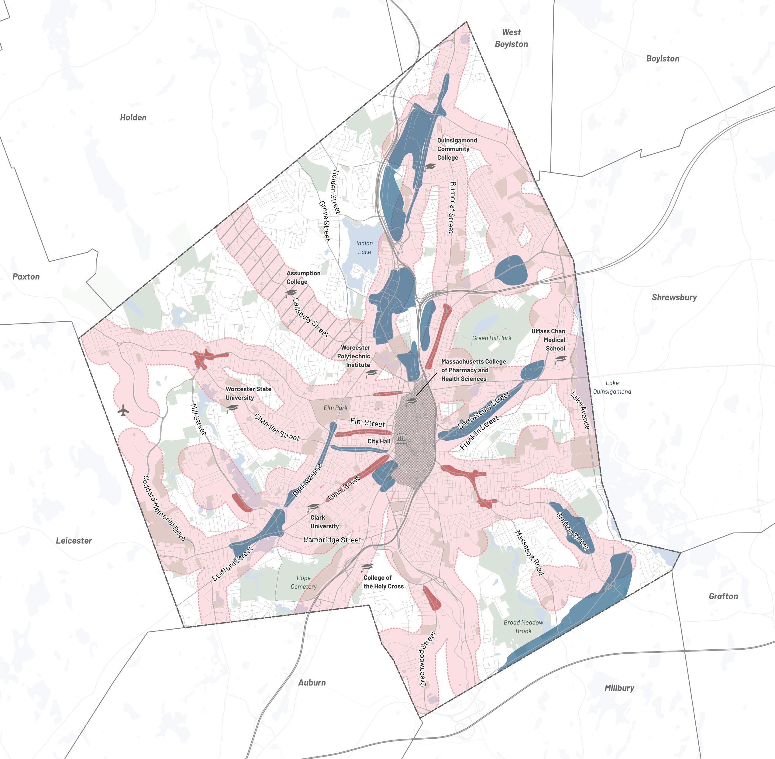
The Growth Framework will be the foundation for future citywide rezoning as well as focused area planning efforts, starting in the Transformative Growth Areas.

Downtown / Canal District
Transformative Growth Area
Infill Growth Area
Managed Growth Area—Existing Transit Corridor
Managed Growth Area—Potential Future Transit Corridor
Executive Summary City of Worcester 13
Future Land Use Vision
Not all development is the same. Some uses are compatible and complementary with one another (like housing and retail uses) and others need more distance and buffering from one another (like housing and higher impact industrial uses). By articulating what use mix each Infill and Transformative Growth Area is best suited to, Worcester can help steer development to create mutually beneficial mixes and reinforce protections and separation where it is needed.
All future land use categories allow for mixed use, but with different anchor uses and complementary uses. These categories generally describe a use mix anchored by the use highlighted in the category name and supported by a complementary mix of uses. In many cases, there is a strong existing use mix that differs from the identified land use vision; this vision is inclusive of those existing uses and envisions how that use mix can evolve over time to better take advantage of the unique patterns, adjacencies, and potential of each Growth Area.
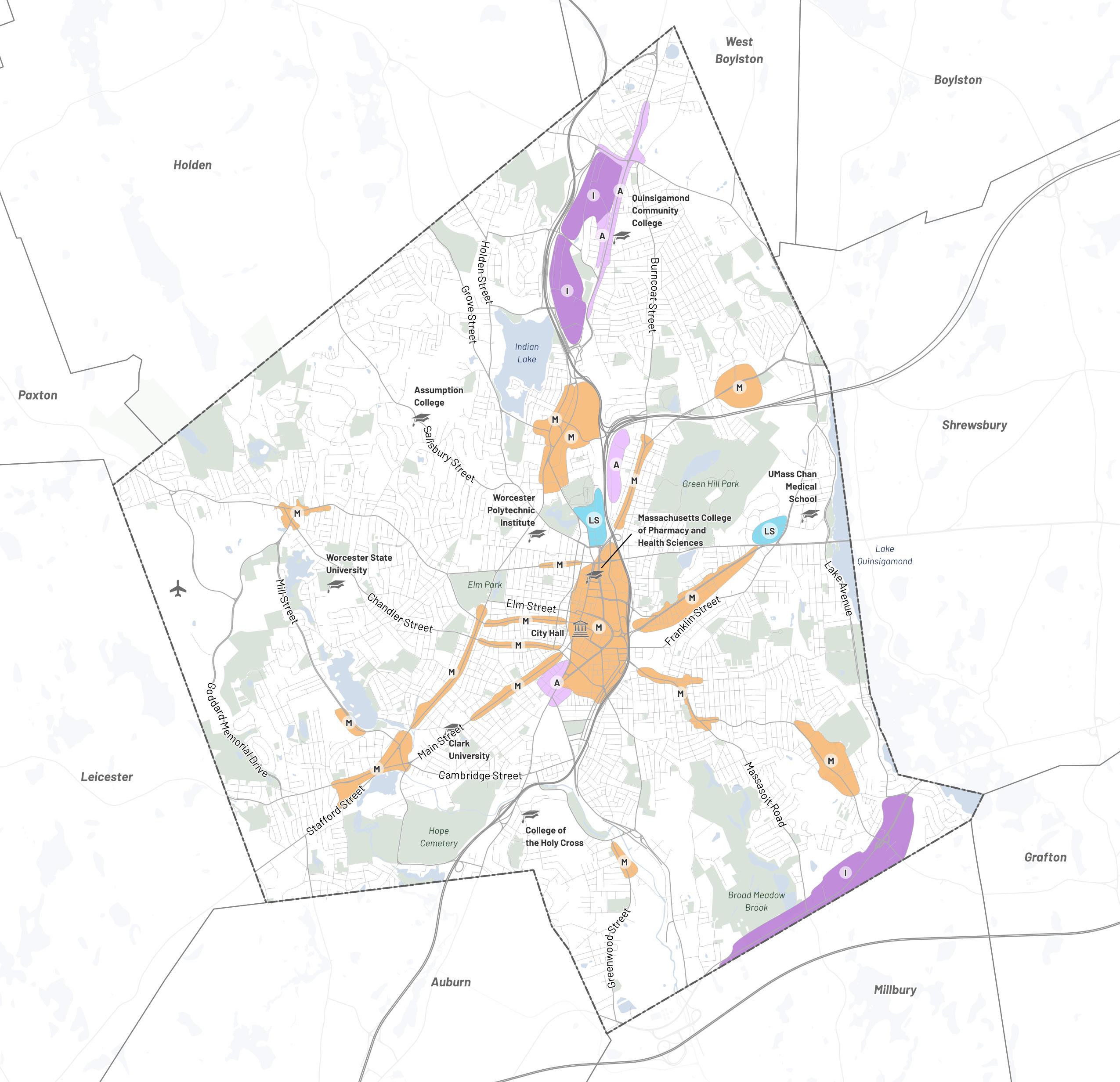
Mixed Use (M) Life Science (LS) Artisan (A) Industrial (I)
Future Land Use Vision Executive Summary Worcester Now | Next 14
• Mixed Use: Typically anchored by active commercial ground floors (e.g. retail, entertainment, and services like banking, barbers, or dry cleaning), with complementary residential and office upper floors.
• Life Science: Typically anchored by healthcare providers, scientific research, and development lab uses, with complementary retail, commercial, hotels, educational institutions, and limited residential.
Implementation Priorities
For the next 3 – 5 years, the following six toppriority early action items will be the primary focus of the Planning & Regulatory Services Division within the City of Worcester’s Executive Office of Economic Development. These toppriority City-led early action items are listed roughly in order of the expected sequence of implementation. Most are already underway in some form:
1. Complete and implement the MAP, which will be led by the Department of Transportation & Mobility
2. Implement the following pre-overhaul zoning changes
a. Legalize Accessory Dwelling Units (ADUs) by-right citywide
b. Reduce or eliminate off-street minimum parking requirements for most uses
c. Reform tree protection requirements
3. Develop a Housing Production Plan to identify the types of housing that are most needed and should be prioritized based on demographic trends and projections
4. Advocate for and secure resources for departmental implementation capacity within the Executive Office of Economic Development and the Inspectional Services Department to lead efforts identified through this process
5. Conduct infrastructure capacity and need assessments
6. Initiate a comprehensive citywide zoning overhaul
Once these six top actions have been completed, the Now | Next plan should be revisited and the remaining recommendations should be prioritized for implementation. In the meantime,
• Artisan: Typically anchored by small, lowimpact creative producers (e.g. fashion, furniture, food and beverage), with complementary retail, commercial, hotels, and residential.
• Industrial: Typically anchored by larger producers and distributors that are dependent on larger trucks, highways, and rail, with complementary limited retail and commercial serving area businesses and employees.
other departments and community partners should use the plan framework, headlines, and topic-specific policy guides as a resource to ensure alignment with Now | Next for parallel and coordinated implementation efforts. Here are some of the ways that residents and partners can play a role in implementing this plan:
Support an increase in departmental capacity within both the Executive Office of Economic Development and within the Inspectional Services Department to implement changes and enforce compliance.
Stay engaged and guide others by reminding them that Now | Next recommendations are grounded in two years of analysis and community process. Help keep conversations focused and constructive as the City advances to the next level of detail and begins to grapple with trade-offs and tensions in more tangible and relatable ways.
Pick goals and recommendations you can chip in on that you are aligned with and invested in, reach out to the relevant City department, and use this plan as a guide to push that aspect of the plan forward using the perspective, skills, capacity, and leverage that you have to offer.
With the advocacy, leadership, initiative, and work of community members and partner institutions and organizations that share the vision of Worcester Now | Next, we can collectively push implementation forward from every corner of Worcester.
Executive Summary City of Worcester 15
The Worcester Now | Next Plan embodies our community’s collective vision for the future. During the 18-month planning process, over a 1000 members of the community shared their insights on priorities, visions, and ideas for a future Worcester that benefits everyone. This is what we heard: our future focus should revolve around a valuescentered framework for growth, encompassing affordable housing and reliable infrastructure, ensuring equitable and sustained public investment in Worcester’s neighborhoods, and fostering a more connected and accessible city for all.
To actualize this vision, the plan identifies land use and zoning policy recommendations that shape the transformation of strategically identified “Growth Areas” across the city into higher-density and mixed-use areas. These areas aim to accommodate equitable employment opportunities and housing growth, and reduce the environmental impacts of that growth by promoting transit use and walkability. Every goal, strategy, and recommendation in this plan is rooted in communityidentified priorities, marking significant steps toward realizing our collective vision.

In this Chapter: 1. What is Worcester Now | Next? 18 2. How was the Plan made? 19 3. Plan Framework 24 4. How to use this Plan 26
Introduction
Photo Credit: Erb Photography
16 Introduction Worcester Now | Next
17 Introduction City of Worcester
What is Worcester Now | Next?
Worcester Now | Next is a citywide planning process that engaged the community around topics such as housing, transportation, land use, and economic opportunity.
The goal of this interactive process was to build a long-range plan for the City of Worcester that knits together past, present, and future initiatives for the whole city around a cohesive and strategic framework. The final plan is designed to provide a coordinated roadmap for the future development and evolution of the city, and establish a framework for more detailed studies to come.
What is a citywide plan?
A citywide plan, also known as a comprehensive plan or master plan, provides a framework and roadmap for a city’s growth and development. The plan creates a basis for unified decisionmaking about the long-term physical development of the city. Typically the primary role of a citywide plan is to support coordinated land use and zoning policy updates that are linked to capital project priorities and programs. In order to do this well, a citywide plan must capture a community’s vision, define goals that support that vision, and identify actions or recommendations that can be taken to advance those goals over the course of a decade. In order to continue to reflect the evolving needs and priorities of a community, it is important that citywide plans are not allowed to be stagnant plans that “sit on a shelf” but rather are used actively as a guide for interim implementation actions and are updated regularly, generally once every 10 years.
Citywide plans are required by Massachusetts law (MGL c. 41, § 81D) and must include a community engagement process, and cover topics such as land use, housing, transportation and mobility, economic opportunity, natural and cultural resources, open space and recreation, and infrastructure, services and facilities. Citywide plans are also an important foundation to enable the City to pursue State, Federal and philanthropic funding that aligns with the plan’s vision, goals, and recommendations.
Why now?
The City of Worcester’s last citywide plan was completed in 1987. Since then, the City has experienced dramatic population growth, economic changes, new development, and cultural and demographic shifts. Worcester Now | Next is an opportunity to revisit the present needs of the community in order to generate a new blueprint for City policy that guides longterm development, municipal operations, and land use outcomes in a direction which fits the needs of the Worcester community.
Introduction Worcester Now | Next 18
How was the Plan made?
In order to generate a plan that prioritizes the needs of the people of Worcester, the Now | Next process included a strategic variety of methods to engage people from all over the city, including specific efforts to engage with those who aren’t typically able to attend traditional planning events.
Community Engagement
The engagement process was made iterative to incrementally grow community awareness, involvement, and trust. Each engagement strategy was designed to complement prior strategies and help us to better calibrate the next strategy to prioritize hearing from voices that were missing or underrepresented.
Community Organizing
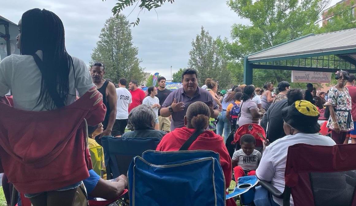
In order to engage with and learn from underrepresented and historically excluded populations in Worcester, the planning team hired Guillermo Creamer, Jr. as a part-time local community organizer from April of 2022 through March of 2023. The community organizer acted as a liaison between the people of Worcester and the planning team by attending community
events and meetings, as well as meeting with community members one-on-one to learn more about what their communities want and need.
Engaging a dedicated, paid local community organizer for a planning process like this is an innovative strategy and valuable precedent for future engagement-heavy City-led planning efforts. The organizer provided a foundational level of consistent, bilingual outreach outside of formal City communications to increase awareness, recruit participants in, and provide support for public engagement events and tools. However, the goals and impact of the position went beyond meeting this foundational need. The organizer was able to:
Provide local knowledge to supplement consultant team and City staff;
Provide consistent bilingual outreach to engage Spanish-speaking residents; and
Engage, listen to, and build trust with groups that have historically been underrepresented in Worcester’s planning.
Learn more
If you’d like to learn more about the methods used to gather community and stakeholder input over the course of the Now | Next planning process as well as details like event times, locations, and results, please refer to Appendix A: Community Engagement Summary.
19 Introduction City of Worcester
Community
Advisory
Topic-Specific
Planning
Process Overview
Phase 1: Listen, Learn, Test
The first phase of the planning process focused on learning about neighborhood and citywide opportunities and needs, exploring previous studies, validating data, and developing a vision to guide the more specific goals, recommendations, and actions. To reach as many community members as possible, outreach and engagement activities included a variety of tools, from on-line polls, virtual and in-person public workshops, to a series of focus groups.
Active Survey 2: Draft Goals Survey 1: Visioning = Meeting Public Listening Tour 1: Visioning
Visioning and Goals
Committee
Organizer
Working Groups
Board City Council & Leadership Onboarding February 2022 March April May June Public Visioning Workshops July August September October December November January Needs and Opportunity Identification Data Analysis Introduction Worcester Now | Next 20
Phase 2: Analyze, Revise, Document
The second phase focused on evaluating future visions, setting goals, developing actions, and prioritizing early actions. The planning team gathered comments, ideas, and reactions from the community to refine the final plan and develop an achievable and implementable action plan.
Mobility Action Plan Public Listening Tour 2: Draft Plan
Plan Production and Approval
Final Report Drafting: Seek Approval by Planning Board March March Public Draft Plan Workshops April May June July August September October December February February November January January 2023 2024 Policy Prioritization and Zoning Recommendations Scenario Planning and Recommendation Drafting Introduction City of Worcester 21
Engagement in Numbers
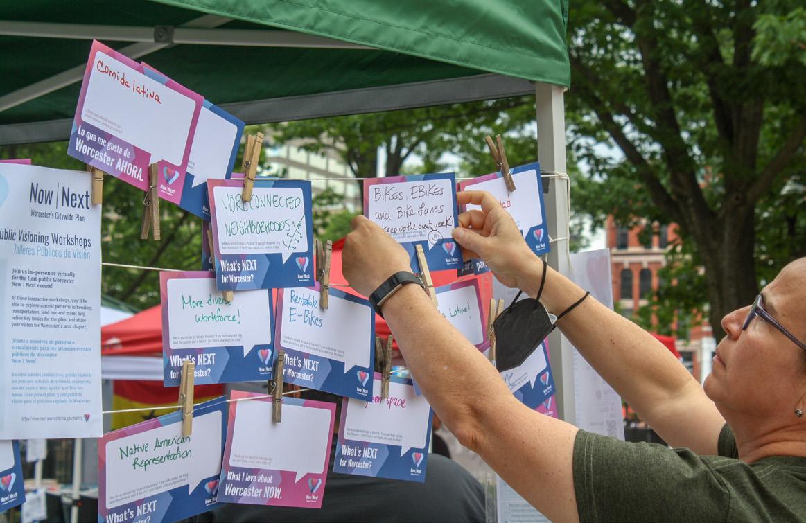
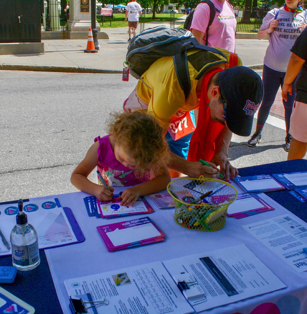
Citywide Online Visioning Survey
Participants
Public Visioning Workshops
Attendees
Comments Submitted
Visioning Listening Tour
Vision Cards
Focus Groups
Seniors + Accessibility
Statements Submitted Spanishspeakers Youth
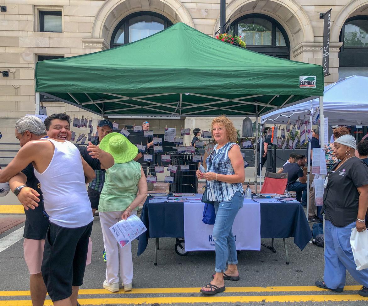
Community Event Pop-ups
Priority Goals Questionnaire
Responses
Public Draft Plan Workshops & Library Exhibit
Attendees
In-person Attendees
Virtual Registrations
Written Comments
Recommendation Sticky Dot Votes 1,030 13 258+ 3 1,377 1,241 100+ 755 113+ 50+ 63 2,025+ 150+
Introduction Worcester Now | Next 22
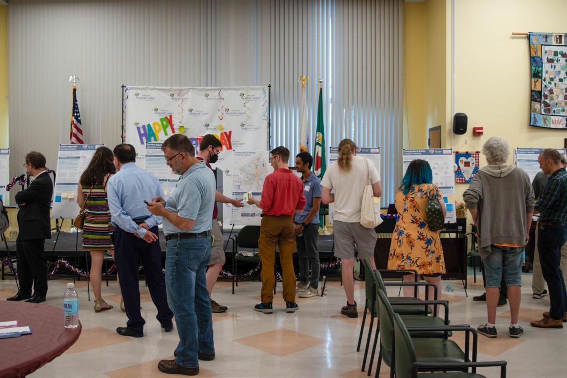
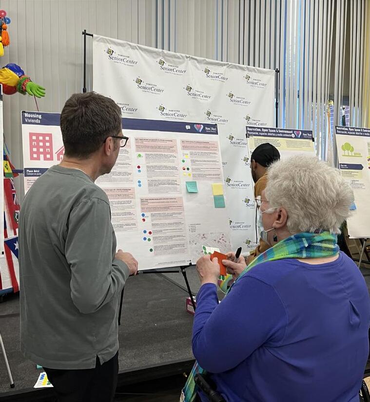
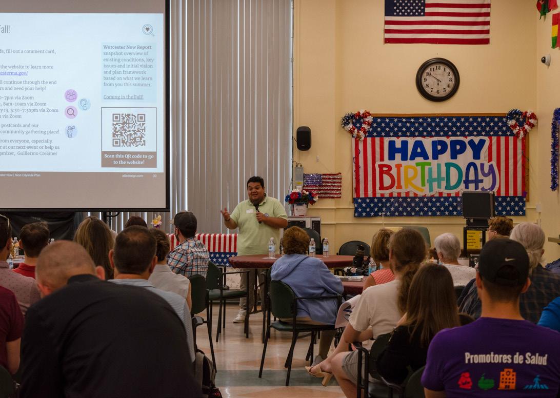
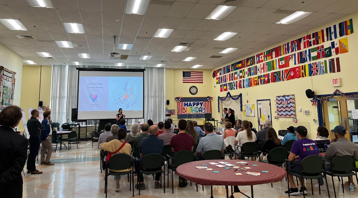
Introduction City of Worcester 23
Plan Framework
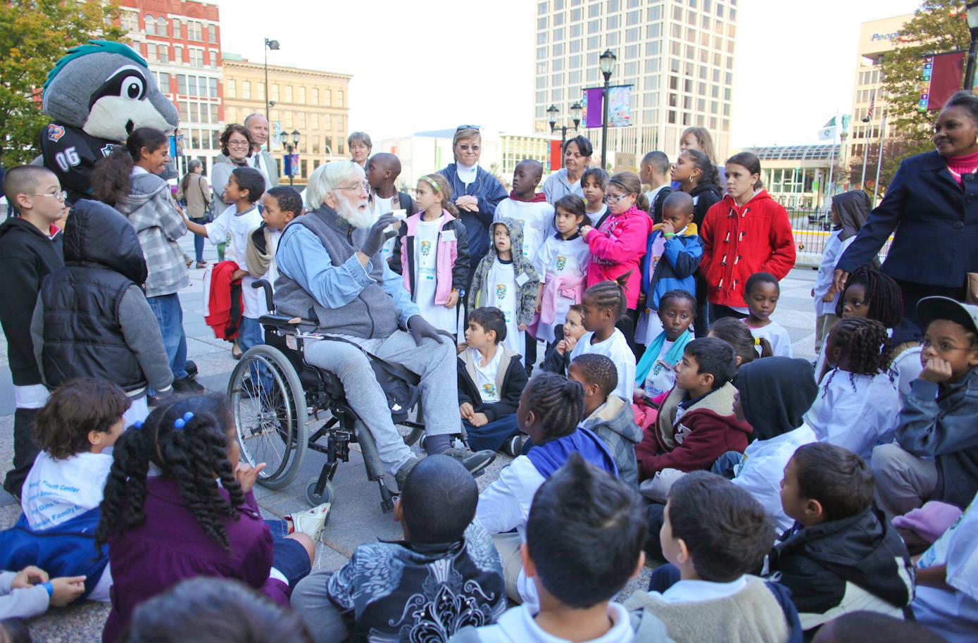
Vision
In Worcester’s fourth century, we envision a creative city of neighbors who value inclusion and celebrate diversity. We will uplift our city by investing equitably in our communities, connecting our neighborhoods to opportunity, and prioritizing sustainable growth that supports improved quality of life for all.
Introduction Worcester Now | Next 24
Photo Credit: Erb Photography
Guiding Principles
The guiding principles for Worcester Now | Next build directly from the Strategic Plan, Green Worcester Plan, and Cultural Plan in order to create a vibrant, thriving city with strong neighborhoods and opportunity for all.
Equity
Being fair and just. Co-creating processes, programs, and projects that correct and compensate for the otherwise unequal distribution of resources, opportunities, and impacts in our communities.
Resilience
Building the capacity of physical and social systems to recover, adapt, and thrive in the face of extreme shocks and stressors, whether they are environmental, economic, or social.
Inclusion
Including, supporting and valuing all people, especially those who have historically been excluded based on race, gender, sexuality, ability, age, etc.
Integrity
Being honest, transparent, and accountable.
Innovation
Encouraging thoughtful new ideas, methods, or tools that have a lasting, positive impact on our community
Introduction City of Worcester 25
How to use this Plan
Worcester Now
This section provides an overview of the people, places, policies, and ideas that have shaped, and continue to shape, the Worcester we know today. This provides the foundation for the goals and recommendations of what we envision for Worcester Next.
People
This chapter serves as a community profile highlighting some of the key characteristics, patterns, and trends of the people that make Worcester what it is today, and how the Worcester community might continue to evolve in the future.
Places
This chapter provides insights into some of the physical and spatial patterns of today’s Worcester that shape the experience of the city for residents and visitors alike.
Policies
This chapter addresses some of the national policies that have impacted the Worcester community and discusses this plan’s role in the movement towards new policies that shape the physical form, use, and inter-relationships of Worcester’s communities.
Ideas
This chapter introduces the past research, plans, and reports that have provided foundational insights into the issues and opportunities facing Worcester. This chapter also introduces the themes that emerged from community engagement throughout this planning process, which serve as the starting point for the issues, opportunities, goals, and recommendations discussed in Worcester Next.
Many of the most beloved qualities of Worcester Now revolve around the people that bring the city to life— the city’s cultural diversity and the small businesses, festivals, and events that give the city a distinctive and welcoming vibrancy. Honoring and continuing to cultivate these valued qualities through the period of rapid growth and change Worcester is experiencing is both important and challenging. People Worcester Now Worcester Now Next 32 Often in the same breath, people expressed a sense of camaraderie and love for the people of Worcester, and the various communities they belong to. There is strong sense of pride for both the city’s unique identity and community connectedness. At every event the planning team attended, people expressed their love for the cultural diversity of and neighborhood markets, the people of Worcester continually expressed their appreciation for the diversity of the cultural fabric of the city. Despite Worcester’s position as the second-largest city in the Commonwealth, residents continually expressed the small-town, tight-knit community feel that Worcester retains. “The cultural diversity!” The community feel—small city, low key, neighborhood oriented!” “La buena gente y el estilo de vida” (The good people and the lifestyle) Worcester Now City of Worcester 33 In this Chapter: 1. People 32 2. Places 40 3. Policies 60 4. Ideas 76 This section provides an overview of how Worcester has evolved over time and where our city and community stand today through the lens of people, places, policies, and ideas. It paints picture of Worcester's transformation through historic demographic and socio-economic trends, physical development and policy interventions, and the evolution of ideas derived from past plans and community-driven priorities. Insights from Worcester Now directly inform the vision, frameworks, and recommendations outlined in the Worcester Now Next Plan. Photo Credit: Erb Photography Worcester Now Worcester Now Worcester Now Next 30 31 Worcester Now City of Worcester 100,000 200,000 300,000 1848 1860 1870 1880 1890 1900 1910 1920 1930 1940 1950 1960 1970 1980 1990 2000 2010 2020 24 Worcester becomes City, 1848 Approx. 17,000 Residents Restructuring of American Cities Industrial Peak Booming Business Last Citywide Plan, 1987 Approx. 168,000 Residents Citywide Plan: what’s next? Previous Peak, 1950 203,486 Residents Worcester 1825 - 1949: Industrialization Growth of Approx. 190,000 Residents 1990 - 2020: Reinvention Regain Approx. 40,000 Residents 1950 - 1989: Industrial Decline Loss of Approx. 40,000 Residents Exceeds Previous Peak, 2020 206,518 Residents Lowest Population, 1980 161,799 Residents - Federal Housing Administration “Redlining” Policies 1944 - 1973: Highway Building Era 1949 - 1974: Urban Renewal & Public Housing Building Era National Policy Great Depression & WWII Uncertainty Faltering Growth and Worcester Historical Museum’s “Worcester History” website: https://www.worcesterhistory.org/worcesters-history/ Policies are often used to regulate and shape the relationship of people to places. Like all American cities, Worcester’s current settlement patterns reflect not only the influence of the environment and economy but also the troubled history of federal policy that disproportionately impacted communities of color, immigrant communities, and low income households. Urban renewal, highway building, redlining, and local zoning in the last century not only exacerbated inequity in the built environment by reinforcing segregation by race, national origin, and income, it also tore apart the physical and social fabric of communities and their relationship to one another. This plan is an opportunity to intentionally recognize the harms of past actions and work to help undo that legacy by dismantling barriers to more integrated, connected, and sustainable settlement patterns, starting with an overhaul of the city’s outdated zoning. Policies Population Change 1790 – 2020 Worcester Now Worcester Now Next 60 0 100,000 200,000 300,000 1848 1860 1870 1880 1890 1900 1910 1920 1930 1940 1950 1960 1970 1980 1990 2000 2010 2020 24 Worcester becomes City, 1848 Approx. 17,000 Residents Restructuring of American Cities Industrial Peak Booming Business Last Citywide Plan, 1987 Approx. 168,000 Residents Citywide Plan: what’s next? Previous Peak, 1950 203,486 Residents Worcester 1825 - 1949: Industrialization Growth of Approx. 190,000 Residents 1990 - 2020: Reinvention Regain Approx. 40,000 Residents 1950 - 1989: Industrial Decline Loss of Approx. 40,000 Residents Exceeds Previous Peak, 2020 206,518 Residents Lowest Population, 1980 161,799 Residents - Federal Housing Administration “Redlining” Policies 1944 - 1973: Highway Building Era 1949 - 1974: Urban Renewal & Public Housing Building Era National Policy Great Depression & WWII Uncertainty & Faltering Growth Worcester Now City of Worcester 61
Introduction Worcester Now | Next 26
Worcester Next
Plan Headlines
This chapter introduces the three plan headlines, which represent the core of what this Plan is about, and what it positions the City to act on in the next few years.
A values-centered framework for growth that benefits all Worcester community members.
Equitable and sustained public investment in Worcester’s neighborhoods.
A more connected and accessible city for all.
These plan headlines are interconnected and cut across multiple topic areas, and collectively describe what the emerging top priority, early action items will set in motion.
Growth Framework
The Growth Framework, as detailed in this chapter, seeks to address several foundational questions that are critical to empower the City of Worcester to proactively shape future growth and change in the city in alignment with the vision, guiding principles, and goals identified through this planning process:
How much growth does Worcester need to plan for?
Where can Worcester accommodate this growth? (Growth Areas)
What land uses should go where? (Future Land Use Vision)
How can Worcester manage growth and change its development norms?
This chapter provides a place-based framework to accommodate the growth Worcester is likely to see over the next 20 years that includes four categories or types of growth:
Baseline Citywide Growth
Managed Growth Areas
Infill Growth Areas
Transformative Growth Areas
This chapter also introduces a Future Land Use Vision for the Infill and Transformative Growth Areas that indicates what land use mix each Growth Area is best suited to so that Worcester can help steer development to create mutually beneficial land use mixes while providing buffers between incompatible land uses where needed.
The Growth Framework outlined in this chapter is intended to serve as the foundation for any future zoning and development policy changes the City undertakes as part of the implementation of this Plan.

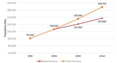
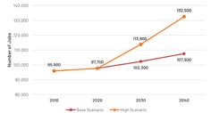
In this Chapter: 1. Plan Headlines 70 2. Growth Framework 72 3. Topic Specifi Policy Guides 82 4. Implementation 132 Worcester Next Photo Credit: Erb Photography Worcester Next outlines our city’s priority goals across all topic areas, and identifies specific policy actions, growth strategies, and recommendations to advance our community’s vision and guide the future of the city. It builds off robust community engagement and key insights and data points generated during the Worcester Now process. This section provides a roadmap for how to accommodate growth and manage change in way that reflects our community’s collective values and goals, and it establishes an implementation framework for ongoing and more detailed planning efforts, helping to prioritize and coordinate city actions over the long-term. 84 Worcester Next Worcester Next City of Worcester 85 As the plan moves into its implementation phase, it is also critical to emphasize that the ambition and volume of work identified through this community planning process will necessitate a continued community commitment and collaborative implementation. The City will need the continued advocacy, support, and partnership of the community organizations, institutions, business community, and residents that came together to develop the vision, goals, and recommendations of this plan. Plan Headlines A values-centered framework for growth that benefits all Worcester community members. These three interconnected plan headlines emerged from the extensive engagement and analysis conducted through this planning process. They cut across multiple topic areas and collectively represent the core of what this plan is about, and what it positions the City to act on in the next few years. A values-centered framework for growth that benefits all Worcester community members. Equitable and sustained public investment in Worcester’s neighborhoods. A more connected and accessible city for all Worcester is growing and changing at a rapid pace. Worcester Now Next provides roadmap for how to accommodate growth and manage change in way that reflects the community’s collective values and goals. We heard that people want equitable, sustainable, and resilient transit-oriented development; more diverse and affordable housing options that meaningfully address the housing crisis; and vibrant mixeduse neighborhood centers and corridors that are walkable and accessible to people of all ages and abilities. To achieve that and ensure Worcester’s continued growth benefits all Worcesterites for generations to come, we need new zoning, an action plan to address mobility gaps, and assessments of what infrastructure improvements are needed to support that growth. Implement selective, targeted zoning updates on special issues such as (but not limited to) enabling Accessory Dwelling Units (ADUs), reducing parking requirements where appropriate, and establishing tree protection and planting requirements. Initiate zoning overhaul to align the zoning map with the Growth Framework established through this plan, to address aspects of the current ordinance that perpetuate segregation and inequity or undermine the viability of desired development throughout the city, and to improve the clarity and user-friendliness of Complete and implement the Mobility Action Plan (MAP) to identify and prioritize more specifi capital, operational, and programmatic projects to advance safe, equitable, and sustainable transportation in Worcester in support of the Growth Complete infrastructure capacity and needs assessments to confirm current capacity of electric, stormwater, and sewer infrastructure and identify the investments needed to support the Growth Framework and Future Land Use Vision developed through this plan. Worcester Next Worcester Now Next 86 Equitable and sustained investment in Worcester’s neighborhoods. There was widespread recognition that continue to be critical areas of focus for planning, investment, programming, and creative development initiatives that support the vitality of the city’s core. However, community input throughout this planning process highlighted strong interest in a renewed focus on Worcester’s diverse neighborhoods through more coordinated land use and infrastructure planning and strategic investment in neighborhoods, corridors, and districts beyond the downtown core. With the support of community partners, the City is committed to pursuing coordinated, equity-centered local planning, policies, and public investment that will collectively reinforce the vitality of mixed-use neighborhood centers that support resident quality of life and small business health. How we advance this: Neighborhood and corridor planning that integrates land use, transportation, and infrastructure investment strategies to holistically support neighborhood opportunity and quality of life. Rezoning to align regulatory requirements with the vision and recommendations that emerge from neighborhood and corridor planning. Prioritizing investment in infrastructure and economic development in neighborhood centers and corridors in alignment with the Growth Framework. Continue and expand anti-displacement support for both residential and nonImprove and expand resources for code enforcement to proactively address accessibility, health and safety issues in both rental and owner-occupied units in order to improve housing quality without triggering displacement. Implement process changes to increase community participation and accountability in development processes through technological and procedural changes that improve transparency and inclusivity. Worcester is rich in assets, amenities, and community anchors. However, access to those things is uneven and largely automobile dependent. Worcester’s existing auto-dominant transportation infrastructure and associated investment gaps in other infrastructure, facilities, and services reinforce inequities in access and exacerbate public health and Environmental Justice concerns. This plan marks turning point to begin creating more connected city where economic opportunities, services, and amenities are accessible to all through coordinated land use and mobility planning. Specifically, through the subsequent MAP planning process, the City will identify coordinated, multimodal approach to transportation that prioritizes safety, equity, and sustainability while fostering community development and supporting the densities Framework (see next page). Standardize and enforce best management practices in City specifications and regulations that impact the design, operations, and experience of public streets, sidewalks, and public spaces. Implement coordinated program of projects to improve walkability and accessibility, prioritizing locations such as schools, mixeduse corridors, and community gathering places. Work with WRTA to expand and improve reliability, frequency, and coverage of transit service, especially along priority corridors and in underserved areas. Work with MBTA to provide frequent, reliable commuter rail service in both directions, including multiple express service trains under one hour in duration between Boston and Worcester during peak periods. Develop comprehensive bicycle and micromobility network connecting all areas of the city. Retrofi and reconfigure streets to operate safely and have characteristics appropriate for their urban context. Link land use and transportation via zoning and coordinated neighborhood-scale planning efforts. A more connected and accessible city for all. Worcester Next City of Worcester 87 The magnitude of growth in Worcester is reflected in both population and development. As mentioned in Worcester Now, Worcester gained over 25,000 people in the last 10 years, an increase of approximately 14%, which is nearly double growth rates of the county and state. As of December 2022, Worcester ranked seventh out of 300 metro areas in terms of “market hotness,” a metric that tracks real estate market demand and inventory, and continues to have exceptionally low vacancy rates. Growth of this pace and magnitude is driven by factors beyond Worcester’s control and will therefore, to some extent, continue to occur whether or not Worcester plans for it. For instance, Worcester’s growth will continue to evolve based on its relationship with other major metro areas and its status as a climate refuge city for individuals displaced by climate change and natural disasters. Without proactive guardrails to shape how future growth occurs, that growth will follow existing regulations and the market, and it might not achieve the goals that residents and community members have expressed through this planning process. It is therefore critical that, through this plan, Worcester articulates how, where, and what kind of development the community wants—and then sets about codifying that vision through regulations, processes, and protocols like zoning. Since Worcester’s last citywide plan, completed in 1987, the city has undergone significant shifts in demographics and development. Worcester is poised to continue growing as a residential and economic hub for the central Massachusetts region, and development momentum is already evident by the significant changes coming to downtown and the Canal District. Growth Framework https://www.realtor.com/research/reports/hottest-markets/ For many, “growth” is taken to be synonymous with high-impact development that is not sensitive to its context and therefore undermines the qualities community members value about their neighborhoods currently. Many community members also fear that new development, especially higher density development, will negatively impact their property values. However, while the uncertainty of change can cause anxiety, growth can be positive and healthy for community like Worcester when it is intentional, managed, sustainable, and guided by clearly articulated community values and priorities. Allowing for growth in ways that are supportive of community goals and values enables community to continue to evolve to meet shifting needs of the community, and in doing so can reinforce and support existing qualities and enhance property values without triggering displacement. The Growth Framework that follows is intended to do just this—establish framework to intentionally manage growth that respects and reinforces existing positive qualities and is aligned with the vision shared through nearly two years of in-depth community input. Worcester Next Worcester Now Next 88 How MUCH growth do we need to plan for? Population Growth Envelope We estimated a low or “base” scenario growth projection based on the UMass Donahue Institute population forecast. We then developed high growth scenario based on the extrapolation of the growth rate recorded in the U.S. Decennial Census from 2010 to 2020. Together, these two projections provide an upper and lower bound for the amount of population growth Worcester can expect over the next two decades. Job Growth Envelope We estimated a low or “base” scenario growth projection based on the extrapolation of the growth rate recorded by the Massachusetts Department of Economic Research (DER) from 2010 to 2020. We then used the Massachusetts DER Workforce Development Areas projection for 2020-2030 as the basis for high growth scenario. Together, these two projections provide an upper and lower bound for the amount of job growth Worcester can expect over the next two decades. To plan responsibly for population and job growth, we need sense of how many new jobs and residents Worcester could see in the next 15 to 20 years. Because of the inherent uncertainty in forecasts, it is best to plan based on a range of potential outcomes. High Growth Scenario Space Needs We also need to understand what this population and job growth means in terms of new physical space needed. New residents and jobs mean new homes, offices, and retail spaces. To translate job and population projections into space needs, we can use a set of assumptions like household size, number of units needed per each new resident, job mix, and square footage needed per new employee in each job type. Once we have translated the high end of job and population growth into the associated space needs, we can use architectural and development norms to test how Worcester can accommodate the high end of growth realistically and responsibly. Growth Type 2030 2040 People +29,100 +62,200 Multi-family Units Jobs + 16,100 + 34,800 Sq. Footage: Office + 861,000 sq. ft. + 1,900,000 sq. ft. Sq Footage: Retail +567,000 sq. ft. +1,200,000 sq. ft. Sq. Footage: Industry/Flex +1,900,000 sq. ft. 4,200,000 sq. ft. Sq. Footage: Healthcare +644,000 sq. ft. +1,400,000 sq. ft. Worcester Next City of Worcester 89
Introduction City of Worcester 27
Topic-Specific Policy Guides
People do not experience the world by topic—our lives touch every topic all at once and the topic areas are all interconnected in different ways. However, organizing information by topic becomes important for a plan like this, which deals with a complex set of issues and opportunities that are inherently connected to one another but that are influenced and controlled by different policies, institutions, organizations, and governmental departments.
In order to facilitate ease of understanding and implementation, the research, engagement, goals, and recommendations of this plan are separated into the Growth Framework and Policy Guides for each of the following thematic topic areas:
Housing
Transportation & Mobility

Recreation, Open Space & Environment
Economic Opportunity

Culture & Creativity

Infrastructure, Services & Facilities
The recommendations within each of these topic areas are connected to and coordinated with one another to ensure that the whole is more than the sum of its parts.
Because this plan’s primary role is to coordinate zoning regulation updates and capital investment programs, and because prior planning efforts have already advanced planning for particular topic areas, the research and engagement for this plan has been focused on an overall vision for development, land use, and urban form and the three “core topic areas” of housing, transportation and mobility, and economic opportunity.
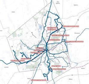
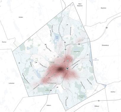
Economic Opportunity Economic Opportunity Worcester’s metro region is the state’s second-fastest growing economy, but job growth has not kept pace with population growth and members of historically marginalized communities are not sharing equally in the City’s prosperity. The economic opportunity needs of Worcester can be seen through the lens of two top issues: 1: Worcester is on an “Eds & Meds” trajectory with high growth potential; and 2: High-paying jobs in Worcester are disproportionately held by white residents, exacerbating earning disparities. Even in the context of state known for its resilient knowledge economy and educated workforce, Worcester is pronounced hub for healthcare, education, and the associated research and development sector. Nearly half of Worcester’s workforce is employed in health or education as compared to only about 30% in Massachusetts overall. This large “eds and meds” sector provides high quality jobs and bolsters opportunities for innovation at the intersection of academic and healthcare institutions and private businesses. Strengthening partnerships between institutions and the private sector is particularly important for Worcester, as the city has relatively small professional and technical services sector and has lagged behind other Massachusetts cities in employment over the past decade. Since 2010, Worcester’s overall employment grew by just 2%, owing in part to the COVID-19 pandemic. “Eds & Meds” Trajectory with High Growth Potential Issues & Opportunities Worcester Next Worcester Now Next 136 Economic Opportunity Souce: North American Industry Classification System (2022) % Change in Total Employment Since 2010, Source: Current Employment Statistics (CES-790) dated 2021, sourced from mass.gov. Worcester Next City of Worcester 137 Transportation & Mobility Transportation & Mobility The transportation and mobility needs of Worcester are being studied in greater depth by the ongoing Mobility Action Plan (MAP). Three top issues that emerged during the Now Next planning process, which will be studied along with other priorities in the MAP, were: Worcester’s streets need to be safer for all users; Need for improved transit service and equitable Transit-Oriented Development; and Over-reliance on personal automobiles. Worcester’s mobility networks need to evolve to provide safe, comfortable, and efficient transportation options that better meet the needs of all community members and support goals associated with economic development, public health, safety, equity, and sustainability. Issues & Opportunities Worcester Now Next Housing Percent Occupied Housing Stock Without Complete Plumbing 1.1% Without Complete Plumbing Percent Occupied Housing Stock Years Built 42% 7% 1939 Earlier 20% 1940 1959 1960 1979 1980 1999 2000 2009 2010 2013 2014 Later Housing The housing needs of Worcester can be seen through the lens of three top issues: | | housing within the existing housing stock | Increasing need for protected affordable | housing and more diverse housing types | Insufficient housing supply and mis-match | of new housing supply versus demand Deferred Maintenance & Substandard Housing An aging housing stock and years of deferred maintenance have contributed to high rates of substandard housing in Worcester, especially in and around downtown. For example, the share of housing units without adequate kitchens is nearly five times higher in Worcester than Even in units with adequate plumbing and kitchens, the housing stock’s age increases cost burdens on tenants, owners, and landlords. More than 40% of Worcester’s occupied housing stock was built before 1939. Less than 10% of occupied units in Worcester were constructed after 2000. Worcester’s housing stock is substantially older, on average, than the state’s housing stock overall. Older buildings tend to have poorer insulation than new construction, resulting in higher utility bills and maintenance costs for tenants and owners. Older buildings are also less likely to meet modern standards for safety and accessibility when compared to newer structures. For instance, lead paint and mold contribute to high asthma rates and are more likely to be present in older buildings. Worcester is seeing growing demand for housing as the city’s base of amenities grows, the Central Massachusetts regional economy grows, and both long-time residents and newly arrived immigrant workers continue to be priced out of the Boston metro region. However, the production of new housing and reinvestment in existing housing in Worcester have lagged behind Worcester’s changing population. Issues & Opportunities 18. Source: Worcester for Everyone, pg. 19. Kitchens and plumbing facilities are considered complete dwelling unit contains all of the following: hot and cold running water, bathtub shower, sink with faucet, stove range, and refrigerator. Read more about this Census question https://www.census.gov/acs/www/about/why-we-ask-each-question/plumbing/ Worcester Next Worcester Now Next 100 Transportation Mobility Streets Are Not Safe for All Users Worcester’s streets are generally not designed to accommodate people traveling by means other than motor vehicles. Multiple-lane streets, wide travel lanes, right turn slip lanes, unprotected bike lanes, unmarked crosswalks, narrow sidewalks, lack of adequate bike facilities, and other physical characteristics of Worcester’s streets are dangerous for pedestrians and bicyclists. Dangerous driver behavior such as speeding is also common due to lack of traffi calming measures. Outdated street designs have led to a disproportionate share of bicyclist and pedestrian injuries and deaths, particularly in low-income, minority, and low English proficiency communities and around schools. City of Worcester Ongoing Deferred Maintenance Efforts The Worcester Housing Now Initiative is program focused upon the neighborhood multifamily housing stock primarily consisting of triple deckers. With the majority of these properties over 100 years old, significant deferred maintenance exists in many of them. This program aims to help owner occupied multifamily owners as well as responsible landlords gain access to technical and financial resources to address deferred maintenance issues many of which include sanitary, building and re code violations. The Worcester Lead Abatement Program (WLAP) is federally funded grant program that is designed to assist property owners with the cost of lead paint abatement in eligible properties. The CDBG Elder Home Repair Program provides up to $25,000/unit to rehabilitate major systems (e.g., mechanical systems, heating, roof, siding, windows) of the home and ensure code compliance The CDBG Worcester Housing Now Owner-Occupied Rehab program provides up to $25,000/unit to rehabilitate major systems (e.g., mechanical systems, heating, roof, siding, windows) of the home and ensure code compliance ARPA Owner Occupied Rehab program provides $30,000/unit to address code violation(s) The ARPA Lead Abatement program provides $15,000/unit for lead abatement in 1–4-unit owner-occupied properties The Worcester Lead Abatement Program Owner Occupied (WLAP) provides $15,000/unit for lead abatement for properties built before 1978 and with child under 6 living in the property Programs for current homeowners to know how to pay for updating their home to make it safe and energy efficient” In-person Workshop We need deeper rehab for old housing stock. Better code enforcement for problem properties, and better education for landlords” In-person Workshop “If need to move, am confident can find quality housing in the city that fits my household’s needs and budget.” 20% Agree, 58% Disagree, 20% Pass (n=449) Polis Survey Pedestrian friendly spaces in neighborhoods” In-person Workshop What types of changes would make Worcester’s existing housing work better for residents? Medium density is awesome for young families” In-person Workshop Options for both apartment complexes and single/duplex/triplex housing” In-person Workshop Love the sense of community triple In-person Workshop What do you appreciate about the housing that exists in Worcester now? Worcester Next City of Worcester 101
Introduction Worcester Now | Next 28
The other topic areas are just as important but were not the primary focus of the engagement and recommendation development of Now | Next—instead, the recommendations in these areas were derived from the engagement, planning, and recommendations developed through the following prior planning efforts:
Culture & Creativity
• Becoming Worcester, The Evolution of a Creative City: a Cultural Plan for Worcester, Massachusetts (2019), a.k.a. “The Cultural Plan”
• Worcester Historic Preservation Study (2017)
• Downtown Worcester Theatre District Master Plan (2012)
Recreation, Open Space & Environment
• Urban Forest Master Plan (2023)
• Open Space & Recreation Plan (2021)
• The Green Worcester Sustainability and Resilience Strategic Plan (2020), a.k.a. “Green Worcester Plan”
Infrastructure, Services & Facilities
• Worcester Hazard Mitigation Plan Update (2019)
• Municipal Vulnerability Preparedness (MVP) Plan (2019)
• Worcester Facilities Management Consolidation Study (2019)
• Integrated Water Resources Management Plan (2019)
• Defining our Path, a Strategic Plan for Education in Worcester, 2018 – 2023 (2018)
For the sake of brevity and clarity, the processes, analysis, and findings of each of these prior planning efforts will not be repeated in this document, but will be incorporated as part of the issues, opportunities, goals, and recommendations covered in the topicspecific Policy Guides.
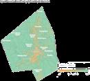
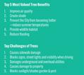


Culture Creativity Culture & Creativity As Worcester embraces a growing population and changing economy with an ever growing diversity of identities, heritage, and ideas, culture and creativity are the glue that holds it all together and allows for healthy and compassionate evolution. Issues & Opportunities With this in mind, culture and creativity have a role to play in every aspect of Worcester Now | Next and are best when they are embedded and integral to a wide variety of initiatives focused on pressing issues Worcester faces as a community. Culture and creativity are critical to continue to cultivate a diverse, inclusive, and cohesive Worcester and play a key role in driving authentic and innovative economic development. By creating inclusive shared spaces, investing in existing cultural institutions, and grounding community work in the city’s unique identity and rich and complex history, we can shine a spotlight on all that Worcester offers through the lens of previously untold stories. The Worcester Cultural Plan, completed in 2019, provided roadmap to prioritize arts and creativity in Worcester by embedding creativity in the design of our streets and public places, centering arts and culture in education and youth engagement, supporting neighborhoods through celebration and creative entrepreneurship, and supporting cultural organizations, artists and neighborhood cultural centers. The Cultural Plan laid out a vision of Worcester as: A city with strong physical and social cohesion that enables ease of movement for people of all ages, abilities, and means; A city that supports innovation and entrepreneurship, learning, and cultural opportunities for all; A city that reflects its heritage, its diverse cultures, and new ideas in its public spaces, downtown, natural and built environments, and in its neighborhoods; A city where daily life is supported by local commerce, services, and activities related to the diverse traditions, creative expressions, and collective celebrations of all its people. We are a proud city of neighborhoods, makers, artists, and immigrants with traditions that make us city of creative community engagement. Arts and culture brings our city to life, helps us vision and experience the world in new ways, provides healing and gives voice to all… [The arts are] not just nice, but necessary for Worcester to thrive and evolve into a truly creative city.” Opening Letter of Worcester’s Cultural Plan Worcester Now Next Culture & Creativity elaborated by the following Cultural Plan goals: Old and New Worcester—The city’s Unique Identity Craft, foster, and project healthy and vibrant image that is meaningful to everyone who lives, works or visits; an identity that recognizes the city’s history and 300th anniversary. Public Space Design and Activation Infuse the city with attractive, active, accessible, and connected public spaces that incorporate and support multiple and diverse forms of mobility, ways of life, and cultural and creative expressions. Cultural Equity, Access, and Inclusion expression, ways of life, and cultural activity and organizations meaningful to all residents (present and future) while providing equitable opportunities and access to resources. Youth, Education, and Family Engagement Prepare and embolden future generations of leaders and active participants in cultural, civic, and entrepreneurial dimensions of the city while fostering greater involvement of families in cultural and civic activities. Creativity and Innovation Recognize and support artists, creatives, and creative businesses as key to the city’s economic, intellectual, and cultural development, providing resources and an environment supportive of their creative explorations, and incorporating arts and creative thinking across sectors and professional areas. These goals are interwoven into the Worcester Now Next goals and recommendations for culture and creativity based on how the Cultural Plan goals intersect with issues of land use, zoning, and development as well as how they intersect with the other topic areas addressed in the citywide plan policy guides. 1.1: Community-Led Programming development of diverse, community-led programming in Worcester’s public and institutional spaces. 1.2: Promotion Collect stories and develop promotional materials to lift up the work and cultural contributions of diverse entrepreneurs, artists, community leaders, and communitybased organizations. 1.3: Public Space Design Involve diverse community members and artists in the design of shared public spaces the intention to embed a broader range of aesthetic preferences and cultural references in shared spaces. 1.4: Diverse Leadership Use City funding and policies as leverage to actively promote and reward leadership diversity that is fully representative of the community on local non-profi boards, community coalitions, and other community organizations. Goal 1 Continue to prioritize, value, and celebrate diversity in Worcester through resource allocation, leadership positions, public space design, programming, and investment in real estate development and economic activities in the city. Celebrate Worcester’s diversity. City of Worcester Infrastructure, Services, & Facilities Infrastructure, Services, & Facilities A core function of citywide long-range plans like this one is to provide a coordinated framework for growth and investment that keeps land use and zoning in lockstep with the capital investment and operations for infrastructure, facilities, and services—including utilities, waste management, emergency services, and educational and social services. While each of these areas of infrastructure, facilities, and services have their own more detailed plans to address their respective technical and operational nuances, this plan is the structure that keeps them in alignment with one another and in alignment with the vision for how and where Worcester will grow. The same is true for transportation and mobility infrastructure and operations as well as the facilities and services embedded in Worcester’s parks and recreation network. Issues & Opportunities As Worcester faces the impacts of climate change and the possibility of sustained growth at the pace that has been experienced over the past decade, the community’s needs are beginning to reach the limits of the city’s aging utility infrastructure. In order to position Worcester for responsible growth that is sustainable, resilient, and equitable the City needs a clear understanding of the capacity and vulnerabilities of critical infrastructure like sewer and stormwater systems, electrical grid, water supply system, and cable and internet networks. Once the gaps and needs are clear, it will become possible to develop the coalitions, partnerships, and funding approaches needed to close those gaps and to ensure Worcester’s infrastructure, facilities, and services meet. Beyond the urgent need to chart a course to right-size, modernize, and future proof Worcester’s utility infrastructure, there is also need to address shortcomings of municipal waste management and litter reduction programs. Worcester is already confronting the reality of aging public buildings that will require reinvestment and reimagining to meet the evolving needs of the Worcester of today and tomorrow. Worcester Next Worcester Now Next 148 Infrastructure, Services, Facilities 1.1: Less Litter Continue to develop policies and systems to reduce the presence of litter in public streets and spaces. Develop and implement a Zero Waste Master Plan, including promotion of household and business composting to decrease food-waste. 1.3: Clear Sidewalks Develop protocols, sanitation worker training, and property owner education system to prevent blockage of sidewalks by bags and bins. 1.4: Public Awareness & Behavior Develop educational, volunteer, and stewardship programs to increase public and environmentally conscious waste management practices. 2.1: Free Public WiFi Continue and expand free WiFi offerings in public spaces, such as parks, community centers, and libraries throughout the city. 2.2: Broadband Access Continue partnership with the Municipal Broadband Task Force to improve broadband access and service quality. 2.3: Infrastructure Access Partner with service providers to upgrade infrastructure and service reliability in coordination with streetscape projects. Goal 1 Goal 2 Invest in the policies, operational protocols, infrastructure, incentives and education necessary to better manage Worcester’s waste in order to keep public spaces clean and reduce the volume of waste going to landfills. Partner with service providers, institutions, and the Municipal Broadband Task Force to increase access to quality, affordable internet service in Worcester. Improve trash and recycling pickup policies and programs. Increase the options and improve the quality and affordability of internet services. Worcester Next City of Worcester 149 Recreation, Open Space, Environment Recreation, Open Space, and Environment Recreation, open space, and the environment came up early on in the engagement of Worcester community members. When asked what people loved about Worcester in the visioning stage, many people mentioned Worcester’s public parks and indoor civic and recreational places like the Library, Green Hill Park, Elm Park, and Newton Hill. However, even as community members praised and valued Worcester’s natural and recreational spaces, many also noted that it was important for Worcester to prioritize parks, playgrounds, and trees more and that they hoped to see more recreation options, especially creative ones like water parks, long distance skate tracks, and winter activities. Issues & Opportunities “Well maintained and accessible public parks and open spaces are crucial for a thriving and healthy city.” City of Worcester planning efforts that are most relevant to this topic area: the Green Worcester Plan (2021), the Open Space and Recreation Plan (2021) and the Urban Forest Master Plan (2023). The 2016 Greater Worcester Community Health Improvement Plan (CHIP), the 2018 Community Health Assessments (CHA), and the Worcester Water System Master Plan (Integrated Plan) and Worcester Hazard Mitigation Plan Update (2019) also cover issues that relate to recreation, open space, and the environment. All these plans highlight the ways in which the health of our natural systems is inseparable from issues of human health, quality of life, and equity. This through-line is evident in different ways in each of the four cross-cutting themes that tie these plans together and tie them to this plan. Worcester Now Next Recreation, Open Space, & Environment Theme 1: Green Infrastructure, Tree Canopy & Water Management Multiple plans and extensive community input have validated the importance of integrating green infrastructure within public rights-ofway (a.k.a. “complete streets”), public facilities, and the park system to not only mitigate urban heat island impacts and flooding but also improve human and ecosystem health. This also has significant overlap with issues of water quality and stormwater management, as well as transportation and mobility goals, as it is critical to the comfort of people traveling by foot or cycling and has numerous co-benefits in terms of traffic calming and safety. As noted in the Urban Forestry Master Plan, these questions are deeply intertwined with issues of equity and the legacy of past policies like Redlining that drove divestment, loss of tree canopy and green spaces, and increased paving, that collectively compound issues of air quality, heat island effect, and flooding. Reinvesting in green infrastructure, the urban forest, and stormwater management is not just quality of life and equity issue - it is also a critical component of ensuring the Worcester community is able to not only withstand but be impacts of changing climate. Tree Equity The Urban Forestry Master Plan provided many insights into the widespread desire to see increased and more equitable investment in Worcester’s urban trees. City of Worcester
Introduction City of Worcester 29
This section provides an overview of how Worcester has evolved over time and where our city and community stand today through the lens of people, places, policies, and ideas. It paints a picture of Worcester's transformation through historic demographic and socio-economic trends, physical development and policy interventions, and the evolution of ideas derived from past plans and community-driven priorities. Insights from Worcester Now directly inform the vision, frameworks, and recommendations outlined in the Worcester Now | Next Plan.

In this Chapter: 1. People 32 2. Places 40 3. Policies 60 4. Ideas 76
Worcester Now Worcester Now | Next 30
Photo Credit: Erb Photography
Worcester Now
31 Worcester Now City of Worcester
People
Many of the most beloved qualities of Worcester Now revolve around the people that bring the city to life— the city’s cultural diversity and the small businesses, festivals, and events that give the city a distinctive and welcoming vibrancy.
Honoring and continuing to cultivate these valued qualities through the period of rapid growth and change Worcester is experiencing is both important and challenging.
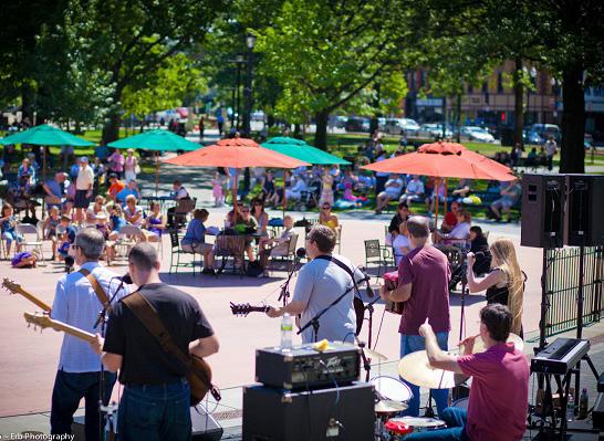
Worcester Now Worcester Now | Next 32
Credit: Discover Central Mass
“The cultural diversity!”
At every event the planning team attended, people expressed their love for the cultural diversity of Worcester. From restaurants to cultural festivals and neighborhood markets, the people of Worcester continually expressed their appreciation for the diversity of the cultural fabric of the city.
“La buena gente y el estilo de vida” (The good people and the lifestyle)
Often in the same breath, people expressed a sense of camaraderie and love for the people of Worcester, and the various communities they belong to. There is a strong sense of pride for both the city’s unique identity and community connectedness.
“The community feel—small city, low key, neighborhood oriented!”
Despite Worcester’s position as the second-largest city in the Commonwealth, residents continually expressed the small-town, tight-knit community feel that Worcester retains.
Worcester Now City of Worcester 33
Worcester gained over 25,000 people in the last ten years, growing from a population of 181,045 in 2010 to 206,518 in 2020's Census. This increase of approximately 14% is nearly double the state average (7.4%) and county average (8%).1 Worcester remains the second-largest city in New England, and the fastest growing city over 100,000 people in New England. Notably, the city’s current population has surpassed Worcester’s historical peak population in 1968.
As is often the case, growth of this magnitude and pace brings a change in the profile of the area, bringing new community members who are arriving and investing in the community in
new and different ways. Among other things, Worcester’s recent growth has helped to make the city more diverse racially and ethnically, and more international. This growth has also brought shifts in the age mix, household size and structure, as well as housing needs and preferences. With all this growth and change, there is no better time than the present to make a plan for all Worcester residents, present and future. The Worcester Now | Next process and plan were calibrated to respond to the characteristics, patterns, and trends further described in the sections below.
What does this mean for Now | Next?
Process: Prioritize hearing from both long-term and newer Worcesterites.
Plan: Respect and protect what people love about Worcester while making room for positive change for all.
0 100,000 200,000 300,000 1860 1850 1840 1830 1820 1870 1880 1890 1900 1910 1920 1930 1940 1950 1960 1970 1980 1990 2000 2010 2020 Previous Peak, 1950 203,486 Residents Exceeds Previous Peak, 2020 206,518 Residents Lowest Population, 1980 161,799 Residents
Growing 1. US Census 2020 Population Change
Worcester Since 1848, Source: US Census Bureau Worcester Now Worcester Now | Next 34
in
Racially & Ethnically Diverse
Worcester’s population is diverse and continues to grow more so: as of the 2020 census, 25% of the population identify as Hispanic/Latinx, 14% identify as Black or African-American, 7% identify as Asian, and 4% identify as multiracial.2 From 2010 to 2020 Worcester’s white population declined by approximately 7,000 people (from 107,814 to 101,039) and also declined proportionally by 10% (from over 59% to just under 49%), making Worcester a majority minority city. Over the same time period there was also a slight decline in the population of American Indian (427 to 336) and Native Hawaiian and Pacific Islander (52 to 48).
During these 10 years many other racial and ethnic groups grew dramatically, with some nearly doubling. The largest absolute growth was among Hispanic and Latinx residents and Black and African American residents—both grew by approximately 10,000 residents, representing a 24.6% increase in Hispanic and Latinx, and a 53% increase in Black and African American residents from 2010 to 2020. Asian residents grew by just over 30% in the same time period from 10,927 to 14,562. Multiracial residents doubled since 2010 growing from 4,217 to 8,777. As more people of color are moving to and raising families in Worcester, the city is becoming more racially and ethnically diverse and is now a majority-minority city with a growing and changing cross-section of racial, ethnic, and cultural identities.
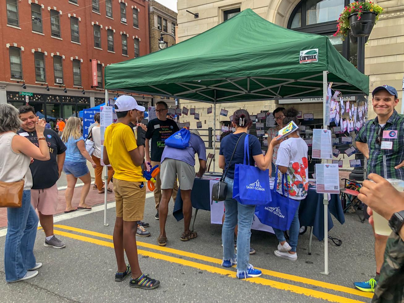
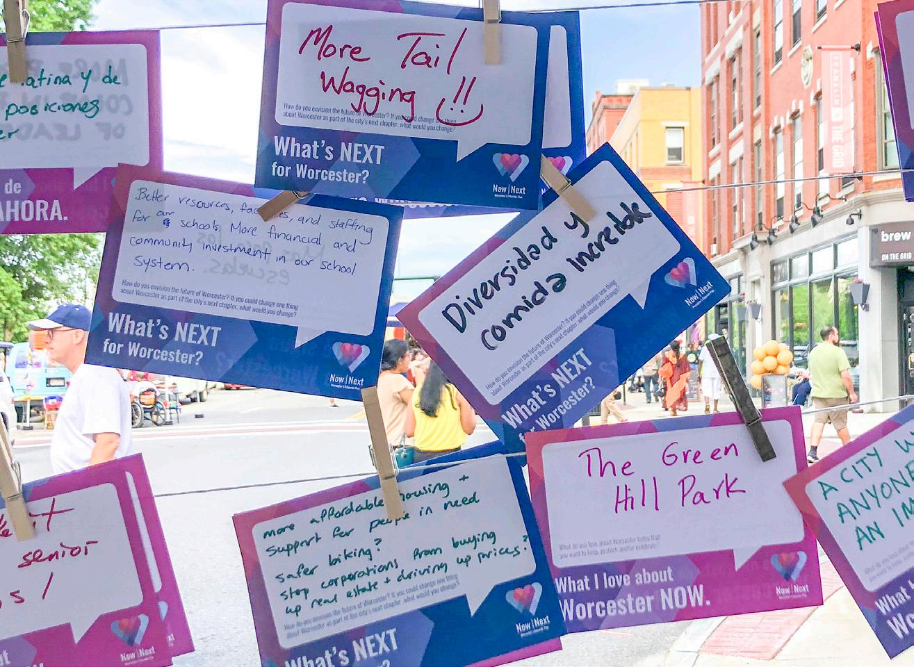
What does this mean for Now | Next?
Process: Prioritize hearing from Worcesterites of color at events and community gatherings beyond formal planning events that may have historical associations with exclusion or disingenuous engagement.
Plan: Make recommendations that address geographic segregation and racial/ethnic gaps in housing quality, homeownership, community resources, infrastructure, and living-wage jobs.
2. US Census 2020 Worcester Now City of Worcester 35
International & Multi-Lingual
Worcester is home to an estimated 37,970 immigrants from 85 countries, who make up over one fifth or 21% of the city’s total population. This compares to 15% statewide.
Although most of Worcester’s current foreignborn residents entered the country after 1990, the city has long been a destination for immigrants. The influx of foreign-born residents starts from its incorporation in the mid1800s with successive waves of Europeans and continued in the mid 1900s when the City began receiving a large number of Latin American immigrants, peaking in the 1970s. Worcester has seen an increased number of African and Asian immigrants since the 1990s, with the number of Asian arrivals surpassing African immigration since 2010.
Today, Worcester has more foreign-born residents than any other Massachusetts Gateway
City, with most immigrants arriving from Ghana, the Dominican Republic, Vietnam, Brazil, and Albania. Worcester's immigrant community contributes to the vibrancy of the city through entrepreneurship across many sectors including the local food scene. Foreign-born residents of Worcester account for 37% of all business owners, which doubles the statewide rate.
Additionally, foreign-born residents have a high labor force participation while they also have lower rates of educational attainment and access to public services. Foreign-born residents in Worcester also play an important role in Worcester’s innovation industry, including academia and the medical fields as indicated by the number of H1-B visas (nonimmigrant visa for specialty jobs), which are often requested for innovation and science jobs. Worcester H1-B visa requests are the second highest for cities in MA and the fifth highest in all of New England.
What does this mean for Now | Next?
Process: Make sure we’re hearing from community members for whom English is a second language.
Plan: Suggest policies and programs that support and celebrate foreign-born Worcester community members, residents, and business owners.
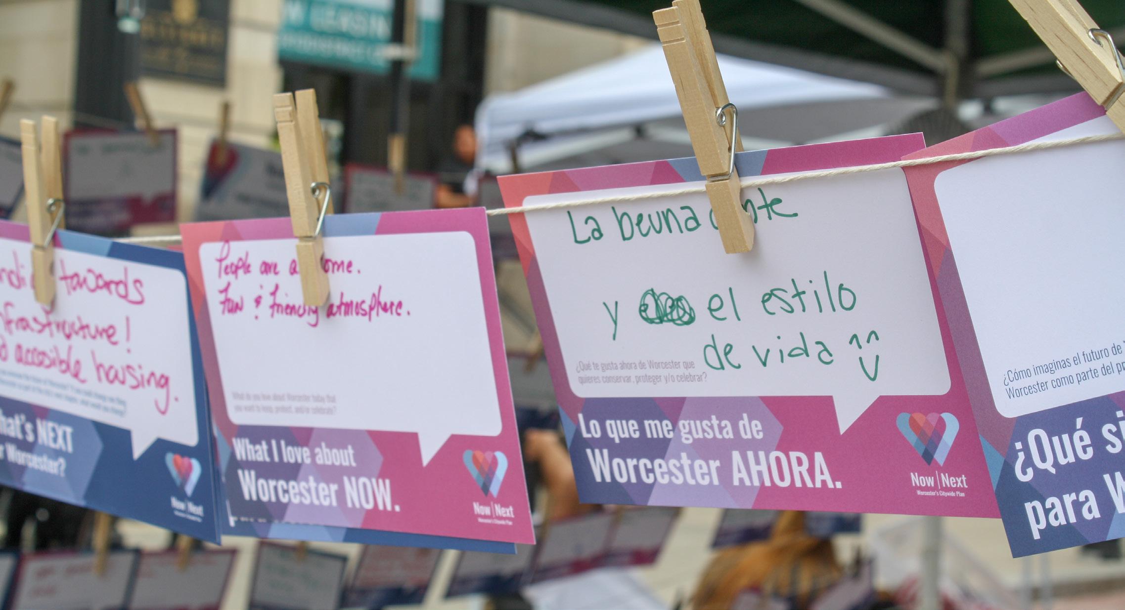
Worcester Now Worcester Now | Next 36
Diverse Abilities
In self-reported census data, approximately 27,000 or 14.8% of people in Worcester experience one or more disabilities.3 This 1% increase of incidence in the overall population represents a 9% growth from the approximately 24,000 or 13.8% of Worcester residents that were living with a disability in 2010.
Approximately 1 in 7 Worcester residents experience at least one disability:
• 7.7% experience a cognitive disability 4
• 7.5% experience an independent living disability 5
• 7.0% experience an ambulatory disability 6
• 3.1% experience a self-care disability 7
• 3.0% experience a hearing disability 8
• 2.2% experience a vision disability 9
It is also important that rates of self-reported disability vary significantly based on age, race, and location within the city. Disabilities are most prevalent among older adults: 50.6% of residents aged 75 or older experience at least one disability, as do 27.6% of those between 65 and 74.
By contrast, 8.0% of residents between 18 and 34 and 8.2% of those between 5 and 17 experience a disability. Black residents (9.8%) and Asian residents (7.8%) were significantly less likely to report disabilities compared to white residents. This difference is likely explained by differences in the number of older adults living in Worcester in each group: 16.8% of white residents are 65 years old or older compared with 9.9% of Asian residents and 6.4% of Black residents. Finally, the rates of self-reported disability are noticeably higher in the more walkable, urban neighborhoods of Worcester closer to the downtown core, perhaps reflecting a preference for areas of the city that are more accessible, and enable access to key services and amenities without the use of a car.
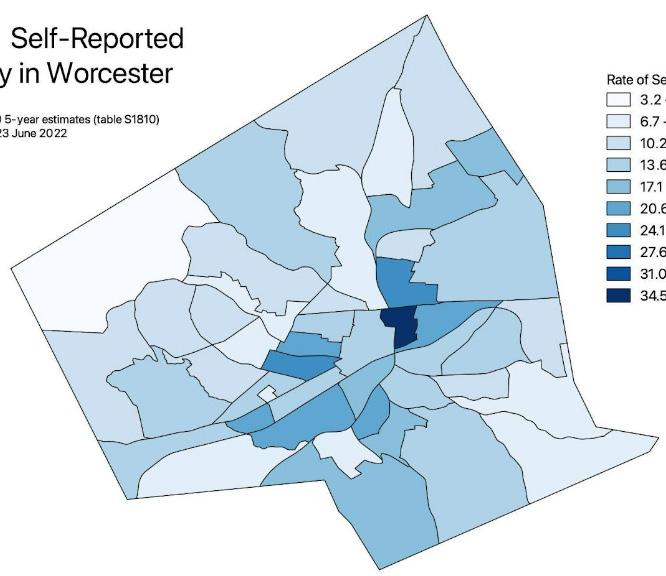
What does this mean for Now | Next?
Process: Use a diversity of input methods and formats to meet people where they're at by making it possible for people with disabilities to provide meaningful input in the process.
Plan: Foster mixed use environments with accessible streets and transportation options alongside other principles of universal design to promote a city that is accessible for all ages and abilities.
3. 2020 ACS 5-year table S1810: https://data.census.gov/cedsci/table?q=Disability&g=1600000US2582000&tid=ACSST5Y2020.S1810
4. Cognitive disability refers to difficulty remembering, concentrating, or making decisions because of a physical, mental, or emotional problem (according to the US Census Bureau).
5. Independent living disability refers to difficulty doing errands alone such as visiting a doctor’s office or shopping because of a physical, mental, or emotional problem (according to the US Census Bureau).
6. Ambulatory disability refers to serious difficulty walking or climbing stairs (according to the US Census Bureau).
7. Self-care disability refers to difficulty bathing or dressing (according to the US Census Bureau).
8. Hearing disability refers to serious difficulty hearing or deafness (according to the US Census Bureau).
9. Vision disability refers to serious difficultly seeing, even when wearing glasses, or blindness (according to the US Census Bureau).
Rate of Self-Reported Disability in Worcester 3
Worcester Now City of Worcester 37
Evolving Age Mix
Over the course of the last ten years, from 2010 to 2020, the age mix of Worcester has been evolving. Since 2010, there has been a moderate proportional increase in youth (under 25) from 56,192 or 33% of the population in 2010 to 63,838 or 35% of the population in 2020. Over the same time period, there was a similar moderate increase among seniors (65+) from 22,114 or 13% of the population in 2010 to 25,157 or 14% of the population in 2020. During this time period the proportion of working-age population (25 – 64) declined slightly from 54% to 52% despite an increase of roughly 3,000 people.10
This means that in the near-term there will be a need for housing types, amenities, programs, and services that directly serve the needs of youth, family, and senior age groups. However, as the existing population ages, projections indicate that the overall population curve will shift younger, driven by a projected increase in the working-age population. By 2030, Worcester could see a 19% increase in residents between the ages of 25 – 64.11 Balancing this potential growth in the working-age population with the needs of residents aging in place will be critical.
What does this mean for Now | Next?
Process: Prioritize hearing from younger and older Worcesterites that often have trouble accessing and participating in traditional evening public meetings and formal surveys due to barriers such as schedules, limited mobility options, and disconnects from traditional information networks.
Plan: Evaluate housing and services that may have increased need based on this shift in age and the continued need to support younger residents as well as aging in place.
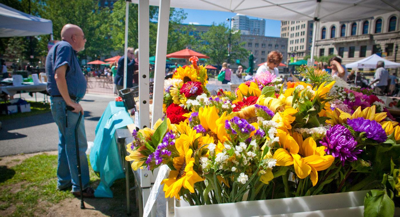
10. ACS 1-Year Estimates 11. Worcester for Everyone (2019), authored by Smart Growth Economics, commissioned by Worcester Regional Chamber of Commerce Credit: Discover Central Mass Worcester Now Worcester Now | Next 38
Stretched Household Budgets & Homelessness
Housing costs have been steadily rising and then spiked during the first year of the Covid-19 pandemic, followed by inflation and the early signs of a recession, exacerbating the existing rates for poverty and housing cost burden, and increasing the risk of residents experiencing homelessness as a result of housing costs. As of 2020, 21% of Worcester residents live below the poverty line (compared with 11.4% nationally and 10.4% in Massachusetts). As documented by the Worcester Regional Research Bureau’s 2022 report “Static Income, Rising Costs: Renting in the Heart of the Commonwealth,” Worcester’s renter-households (which make up about 58% of all households) have become increasingly cost-burdened since 2010, rising from 47.7% of renter-households in 2010 to 50.5% in 2020, largely due to the combination of wage stagnation and housing cost increases. This has disproportionately impacted renter households earning $35,000 to $74,999, with between 70% and 80% of such households being cost-burdened, while the majority of renter households earning $75,000 or more have remained un-burdened. Owner-households have not experienced a similar rise in housing costs
and have seen a decrease in the proportion that are housing cost burdened from 39.1% in 2010 to 28.5% in 2020.12 Since owner-households tend to be disproportionately white, the dramatic rise in housing costs for renters is disproportionately impacting residents of color.
Homelessness is also on the rise locally, regionally, and nationally. In Worcester, between mid-2019 and mid-2021 the number of adults experiencing homelessness that were enrolled in City of Worcester programming and didn’t have children hovered between 315-378 people, but by mid-2021 that number began to climb dramatically to over 550 at the start of 2022, a 46% increase in less than a year. It is not just the number of people impacted, it is also the length of their hardships - the average length of time experiencing homelessness nearly doubled between 2016 and 2020 (increase of 77% from 140 days in 2016 to 248 days in 2020). Additionally, exits to permanent destinations are at an all time low as clients struggle to find affordable units, declining from 43% of exits in 2016 to only 30% of exits in 2021.13
What does this mean for Now | Next?
Process: Prioritize discussion on potential solutions to address the housing crisis, access to living-wage jobs, and pathways out of homelessness.
Plan: Identify proven policies and programs that increase access to living-wage jobs and supportive social services, expand the supply of quality affordable housing using a housingfirst approach, and ensure critical services can easily locate where they are most accessible and effective.
12. Static Income, Rising Costs: Renting in the Heart of the Commonwealth, Worcester Regional Research Bureau, December 2022. According to the census, households are considered housing cost burdened when they spend more than 30% of their income on rent, mortgage, and other housing needs: https://www.wrrb.org/reports/2022/12/static-income-rising-costs-renting-in-the-heart-of-the-commonwealth/ 13. Central Massachusetts Housing Alliance, Inc. “Homelessness in City of Worcester” presentation for August 8, 2022 Housing Summit.
Worcester Now City of Worcester 39
Places
Many Worcester community members shared a strong sense of place and an appreciation for how the feel of those places contributed to a certain “underdog pride” in the beauty and the quirkiness of the city’s iconic and intimate spaces.
Celebrating and supporting beloved gathering places and retaining the intimate neighborhood feel Worcesterites value while accommodating the growing and changing population of the city requires a nuanced and site-specific approach to development.
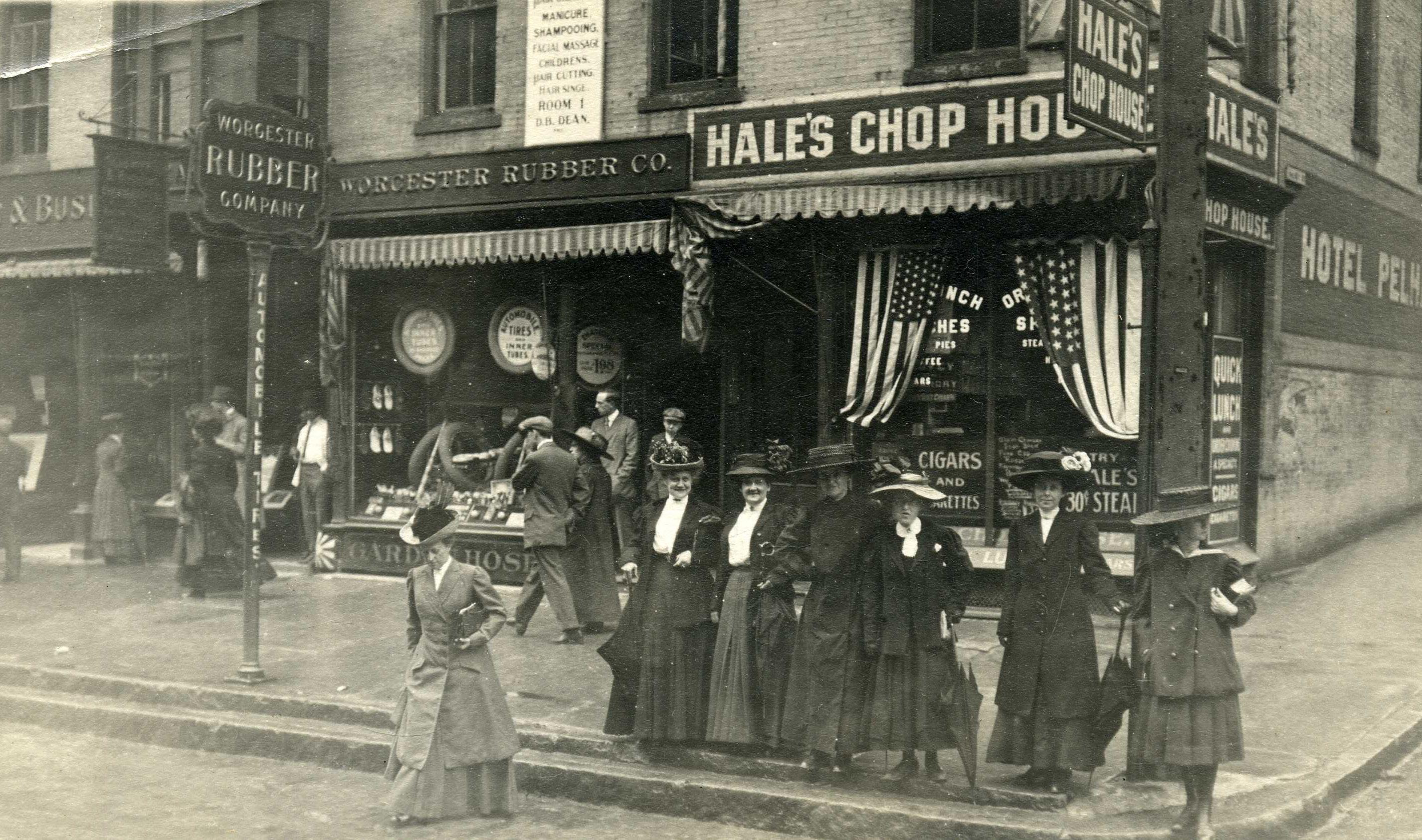 Worcester Rubber Co. 324 Main Corner Walnut ( 1977.40)
Source: Worcester Historical Museum
Worcester Now Worcester Now | Next 40
“The parks! And the library!”
Second to Worcester’s cultural diversity and the people, the next most commonly discussed beloved quality is an appreciation for the City’s beautiful public parks and public indoor spaces. People commonly brought up Green Hill Park, Elm Park, Institute Park, Newton Hill, and the Worcester Public Library.
“You can get anything and everything locally without traveling a distance. You don’t have to travel out of Worcester for anything.”
Worcester’s small businesses and restaurants were mentioned as beloved qualities in many of the Worcester Now comment cards. Sometimes people showed appreciation for specific shops or restaurants; other times people appreciated that their lives were made easier by the variety of small businesses they can choose from in the city.
“Small pockets of neighborhoods that feel like family.”
Many people acknowledged that Worcester’s physical layout contributed to the tight-knit sense of community they feel in the city. With a hilly topography and a diverse population, Worcester may have developed in a way where proximity contributes significantly to the vitality and connected feeling within people’s immediate neighborhoods.
Worcester Now City of Worcester 41
Worcester’s “Seven Hills”
The topography of Worcester shaped its development from the early days, concentrating industrial and commercial development in the valleys and residential and open space development on the hills. In theory, there are seven hills that define the city, but in reality there are many more—as many as fifteen.
The seven that are most popularly identified according to historic sources include:
• Bancroft Hill: Bancroft Hill is crowned by Bancroft Tower, sits within Salisbury Park, and overlooks Park Avenue and the WPI athletic complex.
• Chandler Hill: bordered by Belmont Street to the north, Shrewsbury Street to the south and east, and dense residential neighborhoods to the west, Chandler Hill is more of a treecovered plateau that culminates in Bell Pond and Bell Hill Park before transitioning into Bell Hill, Green Hill, and other higher points to the north.
• College Hill: named for the College of the Holy Cross, whose campus covers much of the western hillside, College Hill is also home to a variety of predominantly single-family homes. Prior to the establishment of the college in the 1800s, the hill was referred to as Pakachoag Hill (hill of many springs) by local Nipmuc people and later as Mount St. James when it was home to a Roman Catholic school and seminary prior to being sold for the development of the College of the Holy Cross.
• Green Hill: this hill is defined by its culmination in the Frederick Law Olmsted designed Green Hill Park which encompasses a second hill of similar height, Millstone Hill, as well as the slightly lower Crown Hill.
• Hancock Hill: Hancock Hill rises between Salisbury and Forest Streets and is home to many large single-family homes.
• Newton Hill: Newton Hill is crowned by a field with a flag pole marking the peak and is characterized by its inclusion in the historic Elm Park, the iconic portion of which sits below the peak across Park Avenue.
• Union Hill: Union Hill was home to the city’s first permanent European settler and was named for the inexpensive land made available in the area after the Civil War. Known by many other names (Sagatabscot, Dungarvan, French, Crow, Oak, Vernon, and Grafton Hills), Union Hill is best described as a collection of hills on either side of Grafton Street crowned by Union Hill Elementary School and Worcester Academy.14
These “seven hills” are far from the only hills commonly referred to by Worcester community members. Some of these other hills are also labeled on the map.
The hills of Worcester are important not only for their influence on development patterns and land use, but also because of how they influence street alignments, flooding patterns, and how people get around the city. Additionally, the hills play an important role in defining different communities and neighborhoods within the city and shaping the overall experience of the city.
14. Source: Worcester Historical Museum https://www.worcesterhistory.org/worcesters-history/; https://www.telegram.com/story/news/local/ worcester/2017/08/15/like-rome-worcester-has-its-7-hills/19405814007/
Worcester Now Worcester Now | Next 42
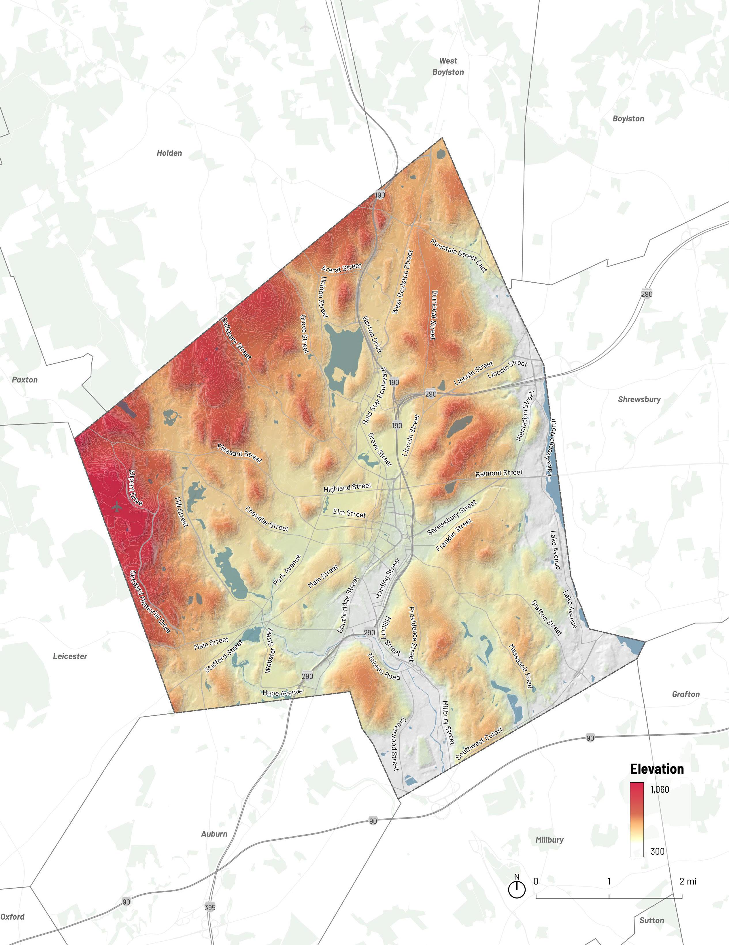
One of Worcester’s “Seven Hills”
One of Worcester’s Other Hills
Green Hill
Chandler Hill
Union Hill
College Hill
Newton Hill
Bancroft Hill
Hancock Hill
Indian Hill
Salisbury Hill
Bell Hill
Crown Hill
43
Creating a “mental map” of the city today
Worcester today has a pattern of development that has accumulated over centuries of layered decisions motivated by many factors, including natural resources and topography, infrastructure and industrial production, political agendas and cultural movements, and more. The city has marks from every era of its development, each contributing a different element of the combined pattern Worcesterites recognize today.
The city today is composed of different types of places (i.e. place types), each playing a role in the daily lives of Worcesterites. Together, these places shape the physical and social
Mapping Method
1.
Existing Land Use Analysis
2.
3. Urban Form Analysis
Parcel fabric, Google aerial & Street View imagery
Spatial data on current land uses Transit Capacity & Potential Analysis
As illustrated in the diagram above, the place types were identified by analyzing land use and urban form as well as transit capacity and potential.
Boundaries around the different place types are approximate and diagrammatic, and were drawn by tracing over the land use map and making adjustments based on visual analysis of the road network, parcel fabric, and street walls from in-person observation and Google aerial and street view imagery. These place types were then refined based on WRTA transit ridership data and
infrastructure of the city. Identifying Worcester’s various place types is key to understanding both the city itself and how people experience the city. Understanding these patterns of place in Worcester can help us understand how to prioritize improvements for Worcester in the future.
Creating a shared “mental map” of the different types of places that define Worcester’s current development patterns is an important foundational step towards developing a vision for the development patterns Worcester wants to cultivate over the course of the next decade.
Place Types
the US Census Longitudinal Employer-Household Dynamics (LEHD) Origin-Employment data to better represent places' current relative access to, and use of, transit as well as their potential to support dense, walkable, and transit accessible development in the future.
WRTA
route ridership data, US census commute pattern data
Worcester Now Worcester Now | Next 44
A mental map of Worcester's existing place types and a foundation for establishing a future transit-oriented development framework for growth in Worcester.
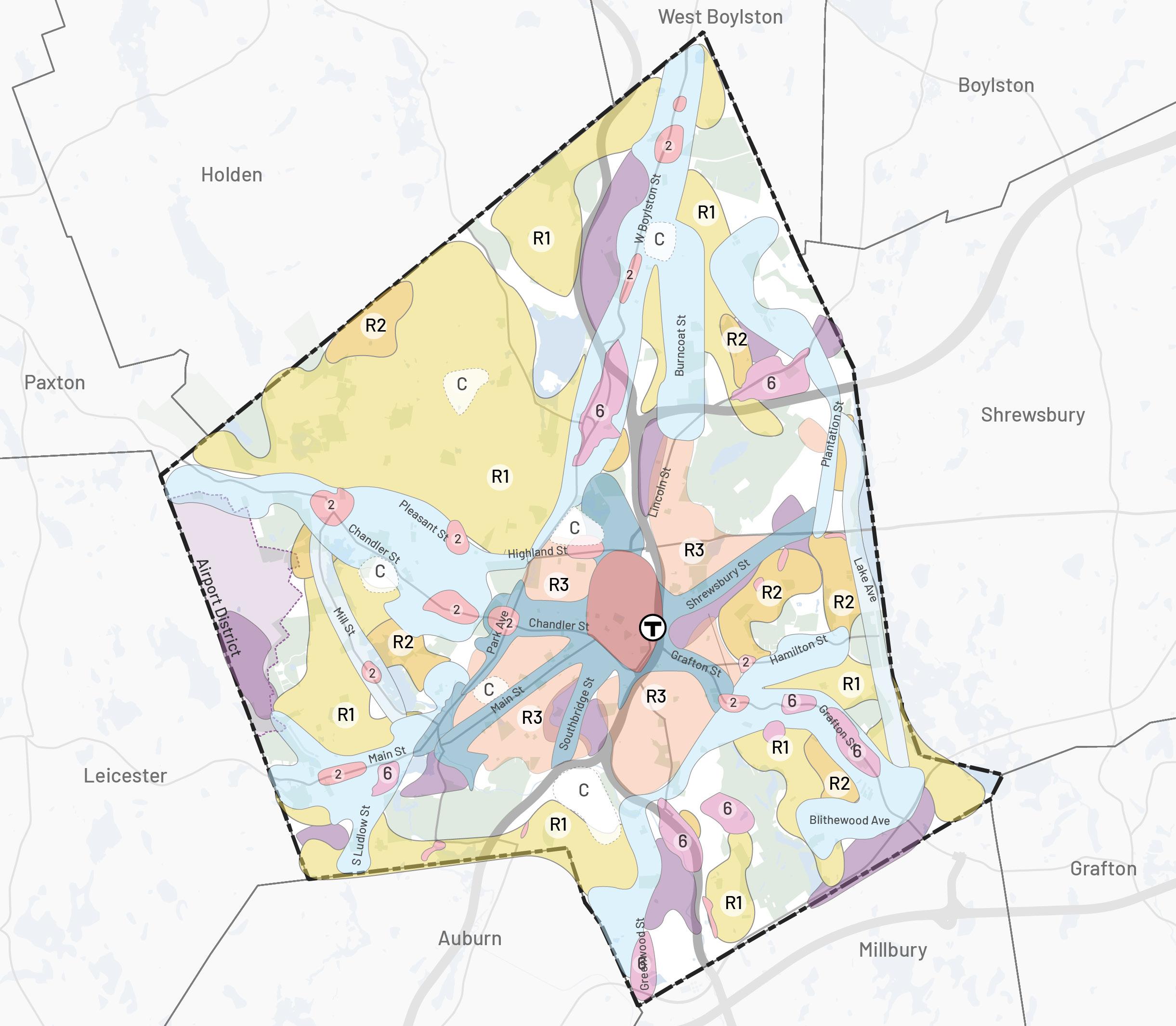
Purpose
This combined visualization of Worcester’s different place types is meant to be a dynamic mental map that fosters conversation around existing place types, where there may be potential for future growth, and where there may be a preference for things to stay the same. This map will also become an initial framework for exploring TransitOriented Development (TOD) potential in Worcester.
Among the place types, Centers and Corridors have the highest inherent potential for TOD, while Special Use Districts and Neighborhoods are more varied in their walkability and relationship to transit. The Now | Next plan can help define, based on the TOD potential of different place types, where the City should invest to proactively cultivate more walkable and transit-oriented development patterns.
Low-Density Corridors
Industrial Areas Shopping Malls High
Downtown Core Neighborhood
Centers Mid-Density Corridors
Density Residential
Density Residential
Density Residential
District Open Space
Types Mental Map
Medium
Low
Campus Airport
Place
C Worcester Now City of Worcester 45
Centers & Corridors: The Downtown Core was identified as the area with the highest density of commercial activity and proximity to the commuter rail at Union Station. Areas with clusters of small to medium-scale commercial buildings, well-connected to neighborhoods, and with a walkable urban realm were identified as neighborhood centers.
Streets with existing public transit routes or potential for future transit and their adjoining parcels were marked as corridors. Corridors closer to Downtown and medium to high density residential areas were labeled as mid density corridors, whereas corridors further away from Downtown and closer to lower density residential areas were labeled as low density corridors.
Neighborhoods & Special Use Districts: Areas defined by a more dominant use type were identified as varying types of Special Use Districts. Clusters of medium to large-scale commercial buildings with large parking areas, often in front of the building, were identified as shopping centers. Areas with existing industrial uses were identified as industrial areas. Institutional and corporate complexes were identified as campuses and large areas for recreation or conservation, including but not limited to parks, were identified as existing open space. Areas with undefined or transitional use patterns were defined as transition areas. Finally, areas with predominantly residential uses were identified as residential areas with different levels of density ranging from low to high.
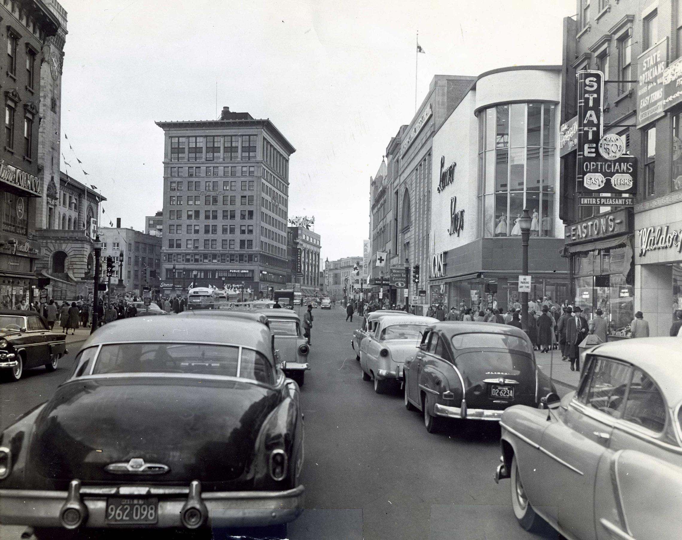 Main Street, looking southwest (1956)
Worcester Now Worcester Now | Next 46
Source: Worcester Historical Museum
Place Types: Centers—Downtown Core
This place type is hard to miss. The downtown core has the potential for a dense and dynamic mix of housing, commercial uses, public spaces, institutions, and infrastructure. The area is an anchor for the whole city and beyond, bringing in residents of other areas for work, school, shopping, entertainment, the arts, public events, and more. However, similar to numerous mid-sized downtown areas, Worcester’s Downtown has experienced significant transformations due to evolving dynamics in real estate and consumer market demands. The pandemic contributed to a noticeable decline in office and commercial uses, and the shift to online retail continues to reduce foot traffic in the area. As a result, there are many underutilized areas, including large parking lots with potential for redevelopment, offering an opportunity to add much-needed housing density that has closer proximity to amenities. Worcester’s Downtown must adapt to the current uses and needs of the community, ensuring it remains a vibrant anchor and hub for both the city and its surrounding areas.
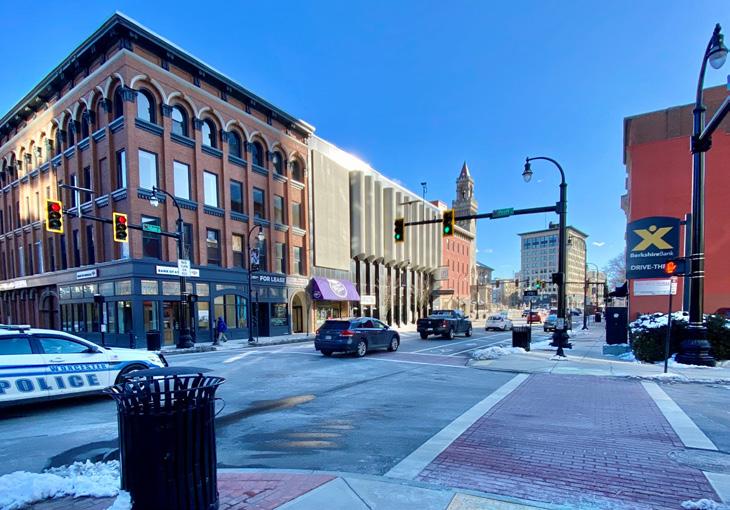
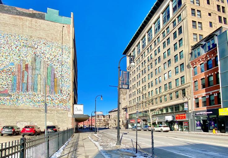
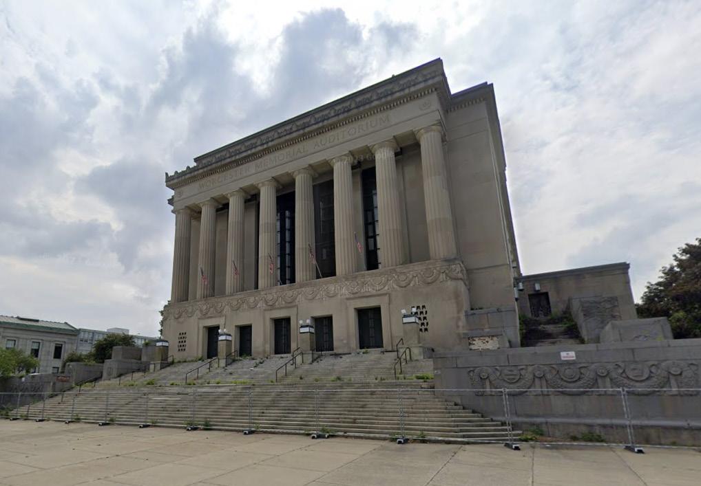
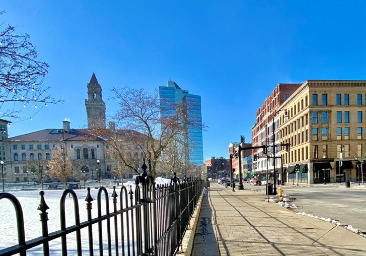
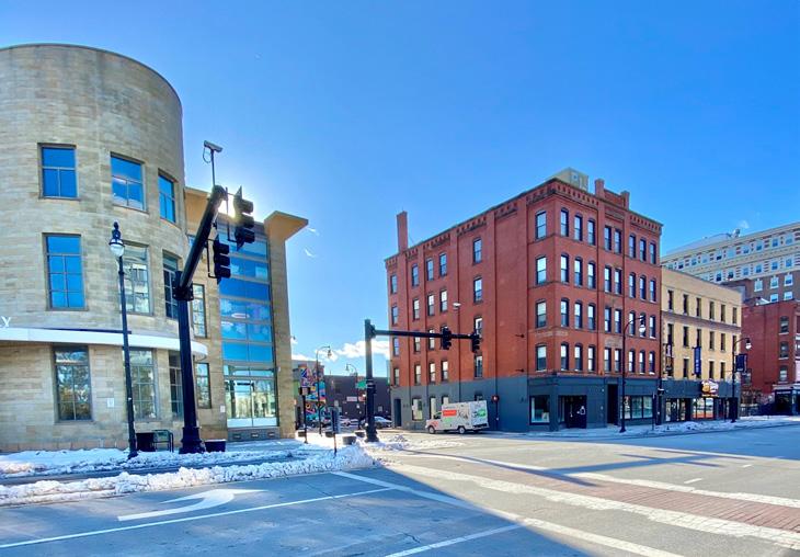
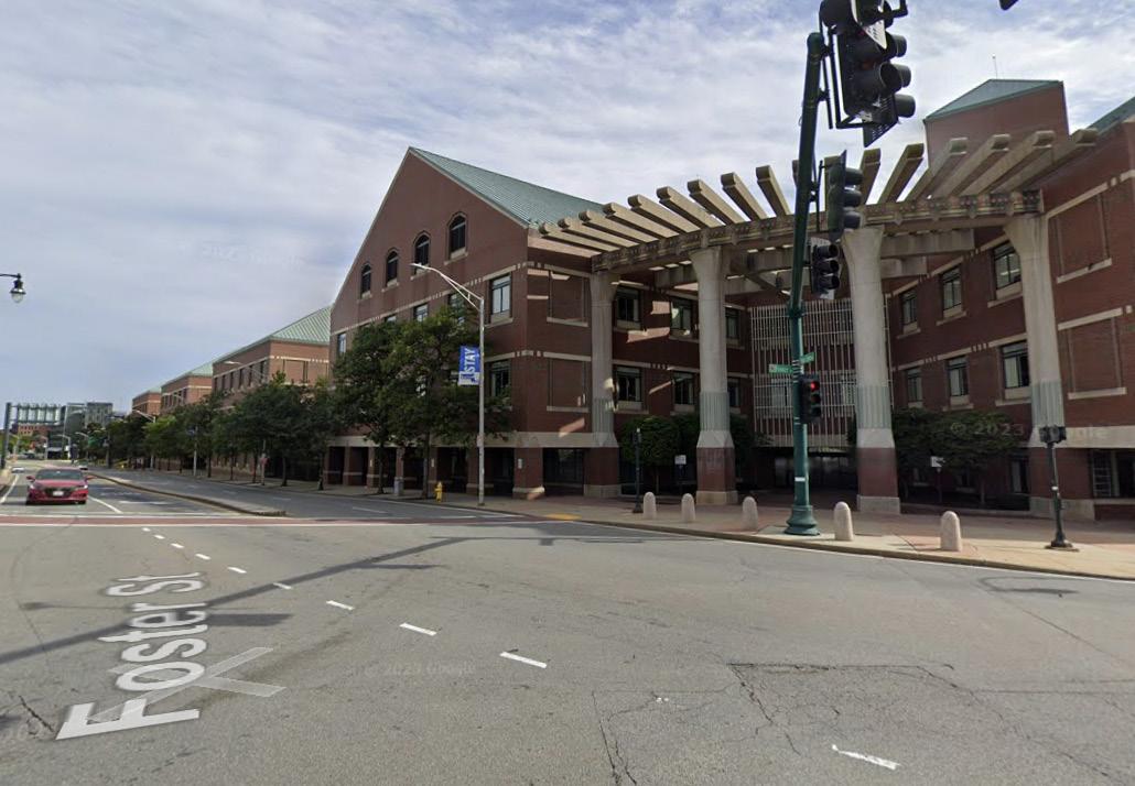
Image Source: Google Maps/Creative Common License
The
AUD
St Vincent Hospital
Main St Sudbury St
Front St Commercial St
Franklin St Salem St
Worcester Now City of Worcester 47
Chatham St Main St
Place Types: Centers—Neighborhood Centers
These are small to medium hubs of activity within neighborhoods. Think of corner markets, bodegas, barber shops, restaurants, schools, houses of worship, and community centers. Neighborhood centers are places people frequent and meet others to do things. In Worcester, neighborhood centers play a vital role as community anchors. They go beyond being just hubs for retail, business, and convenience; these areas are dynamic and cultural, serving as distinctive identifiers for both residents and visitors. During the Worcester Now | Next engagement process, many community members highlighted the significance of enhancing the walkability of our neighborhood centers. They emphasized the need for these centers to be easily accessible to the surrounding neighborhoods and capable of supporting a greater variety of diverse, smaller-scale businesses.
Some Neighborhood Centers are already well suited for walking, with commercial and community amenities close together. Examples of these walkable Neighborhood Centers include, but aren’t limited to:
• Highland St (Schussler Rd to N Ashland St)
• Tatnuck Sq (Pleasant St/Chandler St)
• Tronic Sq (Pleasant St/Richmond Ave)
• Hayward Sq (Chandler St/June St)
• Park St/Chandler St
Some Neighborhood Centers are less well suited for walking at present, but still have enough commercial and community amenities to attract gathering and activity. Examples of more car-centric Neighborhood Centers include, but aren’t limited to:
• Main St/Apricot St
• Mill St/First St
• W Boylston St/Quinsigamond College
• W Boylston St/Mountain St
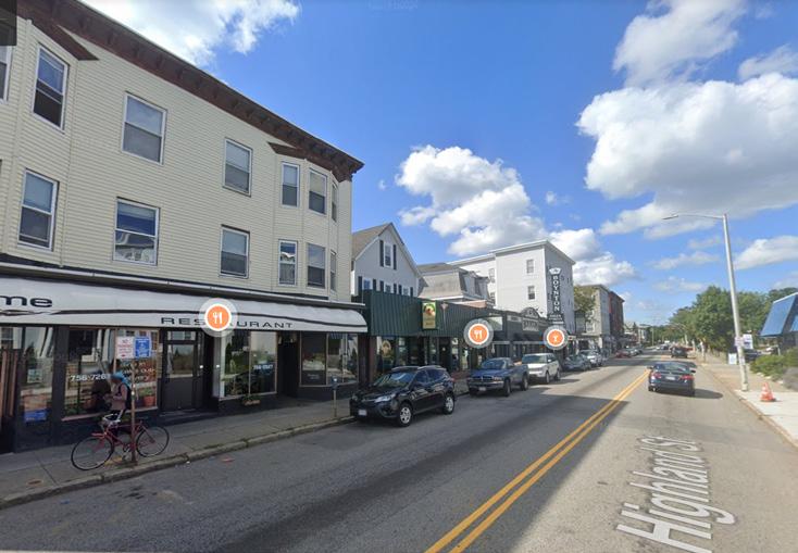
Image Source: Google Maps/Creative Common License
Highland St West St
Tatnuck Sq (Pleasant St Chandler St)
Tronic Sq (Pleasant St Richmond Av)
Worcester Now Worcester Now | Next 48
Walkable
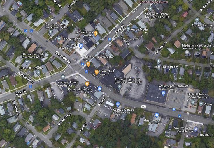
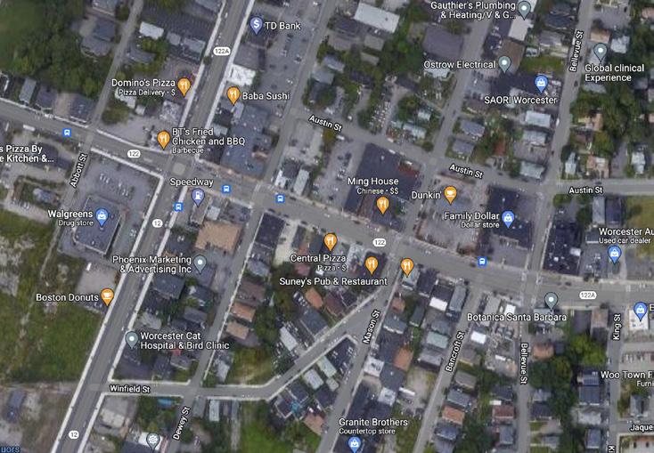
 Image Source: Google Maps/Creative Common License
Hayward Sq (Chandler St June St) Park Ave Chandler St
Main St Apricot St
Mill St First St
W Boylston St near Quinsigamond College
W Boylston St Mountain St
Walkable Car-centric
Now City of
49
Car-centric Worcester
Worcester
Place Types: Corridors—Mid-Density Corridor
These places are destinations in their own right, but also connect Worcester’s neighborhoods to each other and to the downtown and are therefore higher traffic roads compared to the smaller neighborhood streets that feed into them. Unlike centers, which surround a few blocks, corridors span many blocks in a single path. Many corridors draw people from surrounding places because they are home to job centers, retail, restaurants, and community institutions. Some corridors are friendly to all types of users: walking, biking, taking transit or driving, while others are mostly convenient for people driving. Different types of corridors in Worcester include:
Mid-Density Corridor: These corridors connect one place to another, provide services, and are closer to downtown. Typically characterized by wide right-of-way widths, these corridors have the potential to be supportive of multiple modes of transportation—walking, biking, public transit, and private cars—but currently tend to remain somewhat auto dominated.
• Convenient for walking and transit: the portions of Main St, Chandler St, and Shrewsbury St that are closest to downtown Worcester
• Convenient for only driving: the portions of Southbridge St, Park Ave, and Grafton St that are closest to downtown Worcester
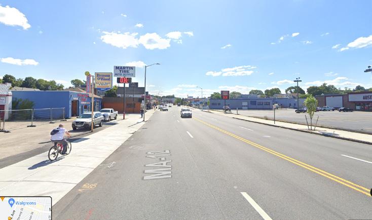
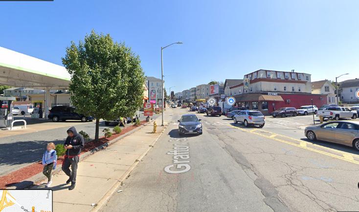
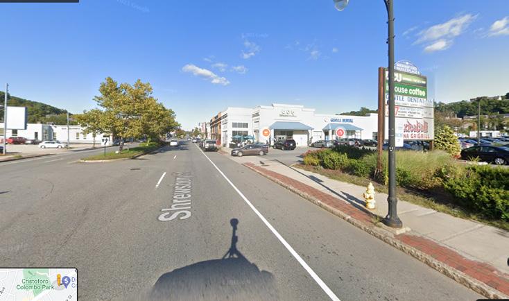
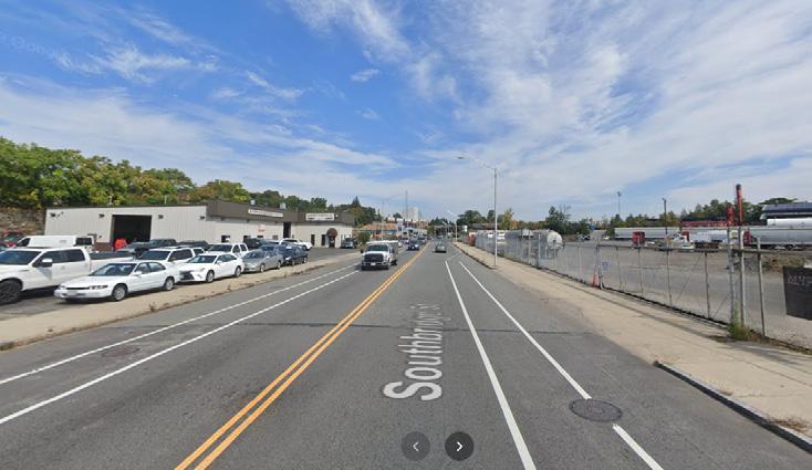
Image Source: Google Maps/Creative Common License
Park Ave
Park Ave
Car-centric Walkable
Chandler St
Grafton St
Grafton St
Shrewsbury St
Shrewsbury St
Main St
Worcester Now Worcester Now | Next 50
Southbridge St
Place Types: Corridors—Low-Density Corridor
These corridors are generally further away from centers of activity, primarily autocentric in nature and have less multimodal options. They often lack a distinctive public realm, such as wide sidewalks. The development context along these corridors typically features low to medium intensity residential areas, interspersed with occasional retail, commercial, and office spaces.
• Convenient for various mobility modes: the portions of Pleasant St, Chandler St, Hamilton St, and Burncoat St that are furthest from downtown Worcester
• Convenient for only driving: the portions of W Boylston St, Ludlow St, Greenwood St, Blithewood St, Plantation St, Mill St, Lake Ave, and Grafton St that are furthest from downtown Worcester
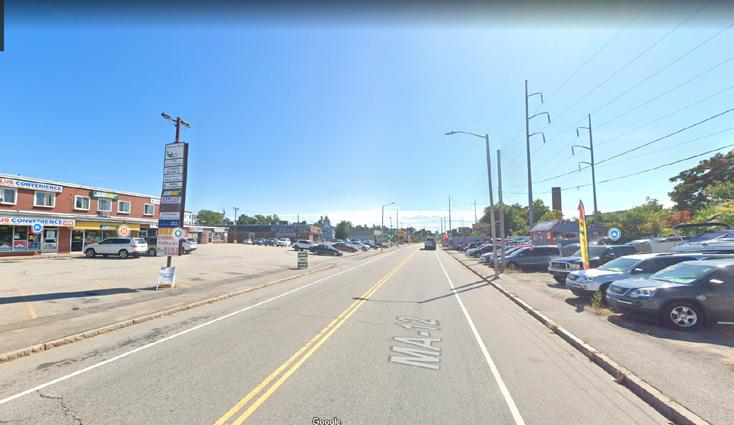
Image Source: Google Maps/Creative Common License
Ludlow St
Hamilton St
Greenwood St
Burncoat St
Chandler St
Grafton St
Pleasant St
W Boylston St
Worcester Now City of Worcester 51
Lake Ave
Place Types: Neighborhoods—High-Density Residential
These locations primarily consist of residential areas in close proximity to the downtown core. They accommodate a range of medium to high-density housing types, including apartment buildings with ground floor retail, alongside triple deckers, and smaller multi-family units. Generally more compact, these residential areas feature small parks, open spaces, and community institutions like schools mixed-in. The development in these areas is characterized by reduced setbacks and more vibrant, active street fronts.
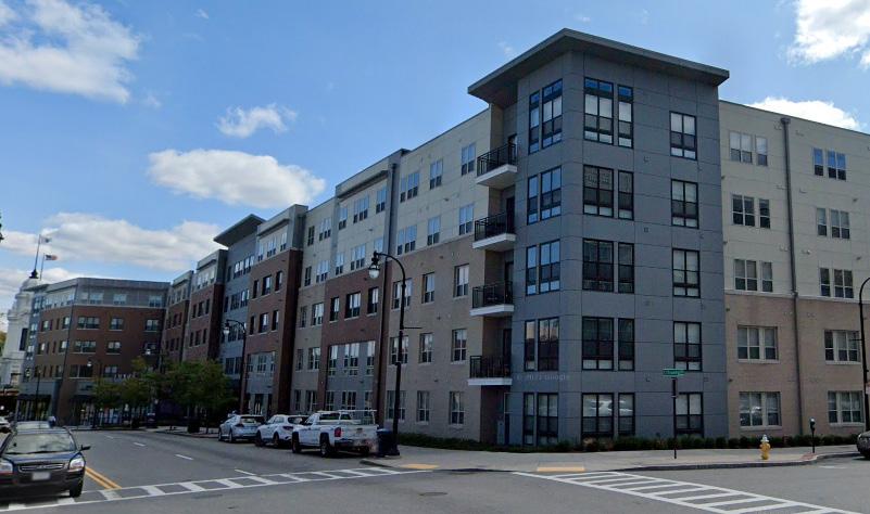
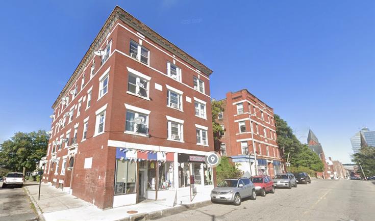
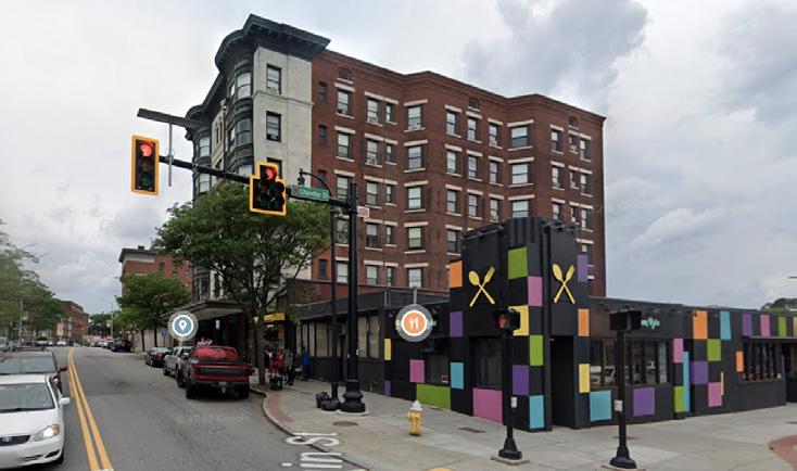
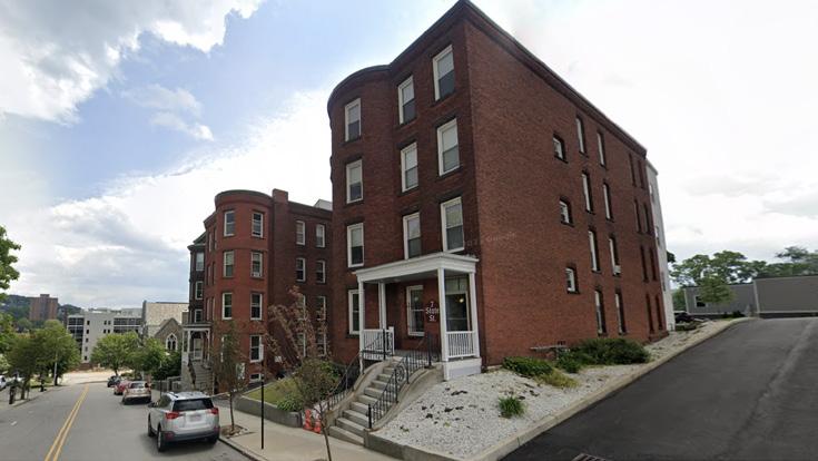
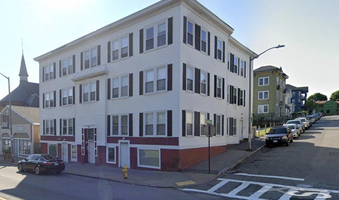
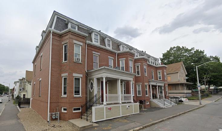
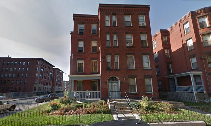
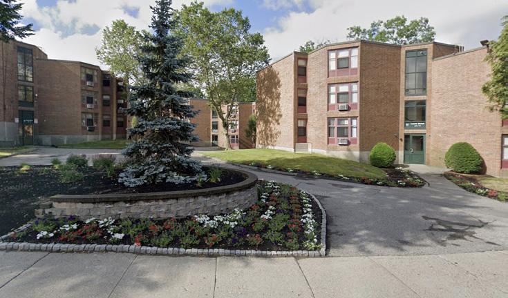
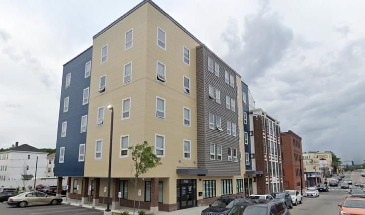 State St
Front St
Pleasant St
Laurel St
Main South
Grand St
Chandler St
Image Source: Google Maps/Creative Common License
Main St Main Middle
Worcester Now Worcester Now | Next 52
Place Types: Neighborhoods—Mid-Density Residential
These locations are predominantly residential areas situated in proximity to commercial corridors and special use districts. They encompass a variety of medium-density housing types, including smaller multi-family units such as triple deckers, townhouses, duplexes, and substantial detached single-family housing (often located farther away from main streets and corridors). The housing development in these areas typically features larger setbacks and lawn spaces, creating a more neighborhood-oriented feel. These areas include mixed-use elements like parks, open spaces, schools, institutions, as well as standalone shops or corner retail with more active uses facing a main corridor or street. While vibrant and active, many mid-density residential areas in Worcester can benefit from urban design and infrastructure improvements to create safer streets with active edges, foster increased walkability, promote transit use, and ultimately enhance the overall quality of life for residents.
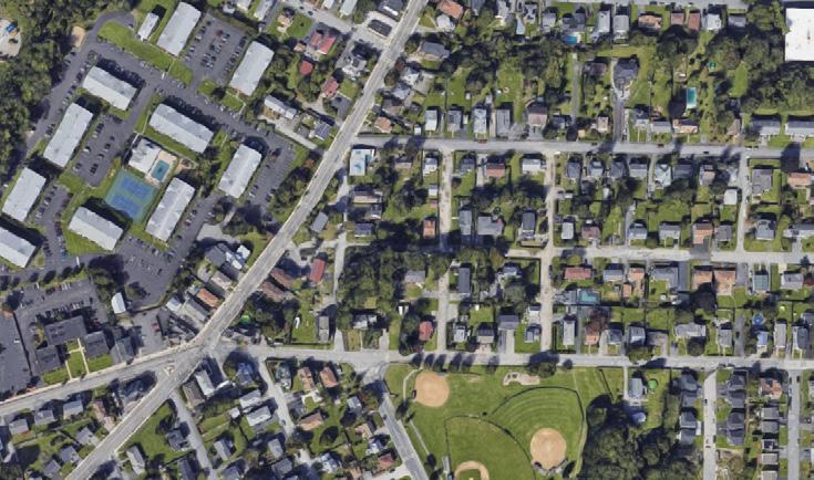
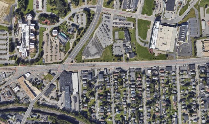
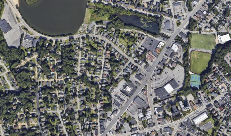
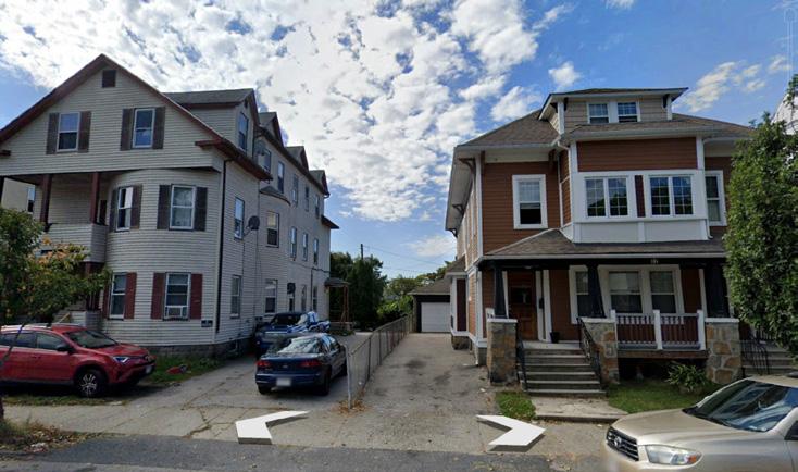
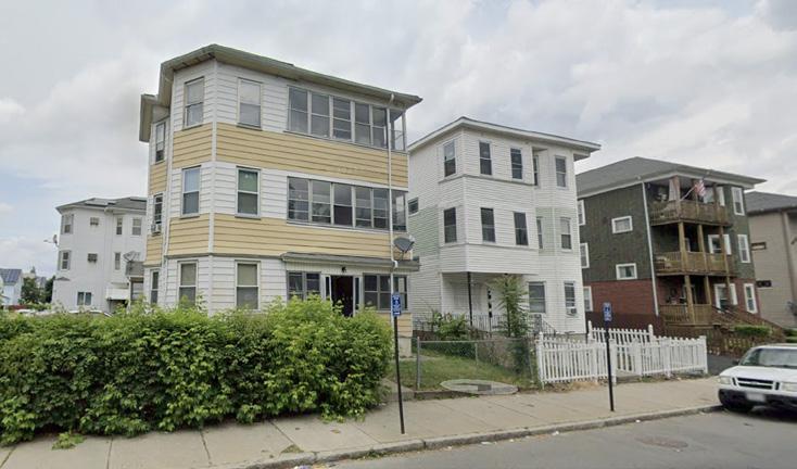
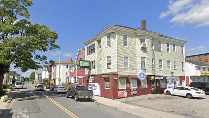
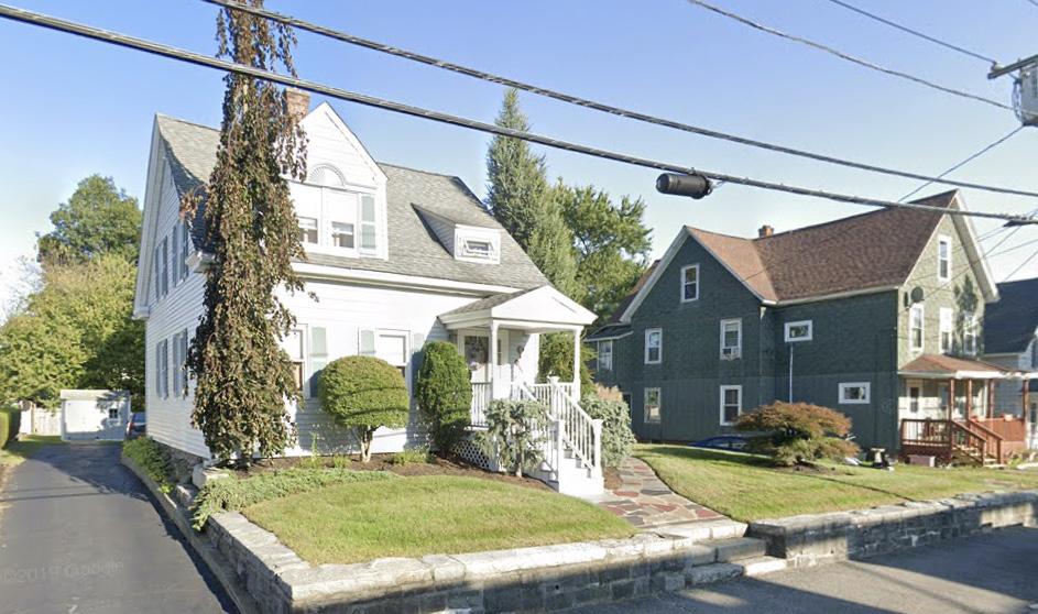
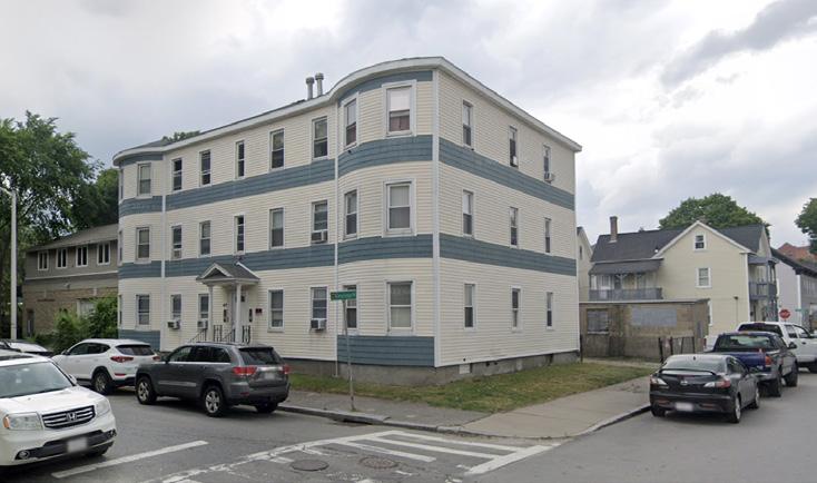
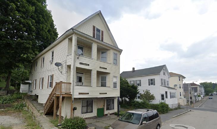
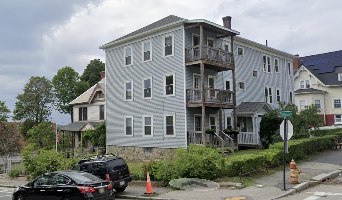
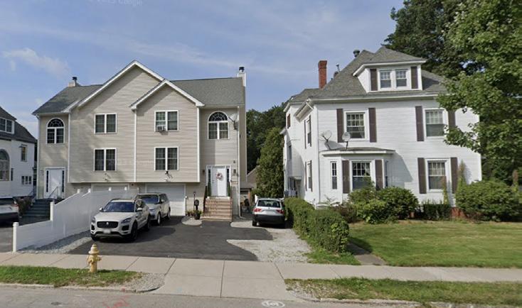
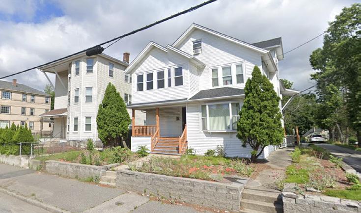 Columbus Park
Dorchester St
Alvarado Ave
Highland St
Lafayette St
Wilson St
Stafford St
Canterbury St
Image Source: Google Maps/Creative Common License
Catharine St
Worcester Now City of Worcester 53
Place Types: Neighborhoods—Low-Density Residential
These areas are predominantly characterized by auto-oriented, single-family residential zones, featuring large lot sizes, expansive open spaces and some community institutions like schools. Situated on the outskirts of Worcester’s active centers and downtown core, the development in these areas are characterized by sprawled, low-density housing with a distinctive lack of public realm and activity. Many of these areas could benefit from improved transportation connections and accommodation of a more diverse set of housing types and some commercial/active uses to foster walkability and transit use..
 Clark St
Moreland St Grove St
Victoria St
Flint Pond St
Forsburg St
Image Source: Google Maps/Creative Common License
Worcester Now Worcester Now | Next 54
Place Types: Special Use Districts—Industrial Area
Industrial areas still contain many businesses active in manufacturing, wholesale trade, warehousing, construction, and other heavy commercial activities. They are centers of lower-density job concentrations, and often incompatible with residential uses. These areas may rely on rail or highway access.

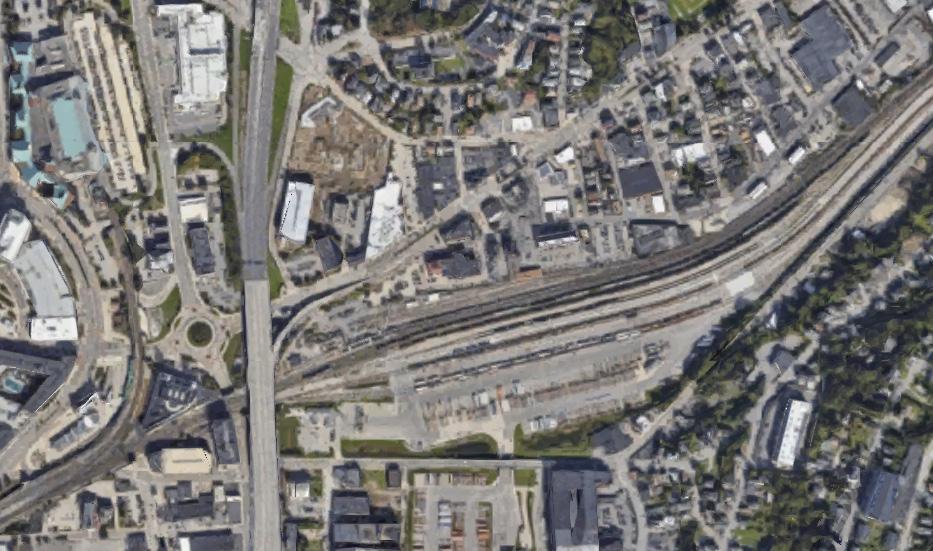
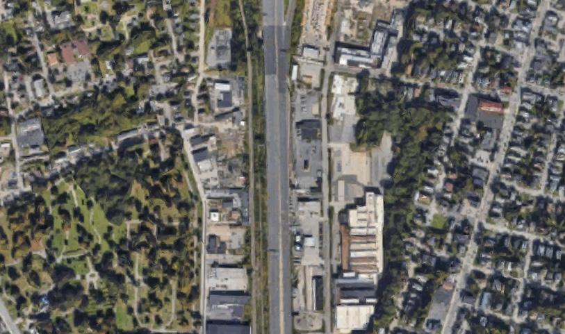
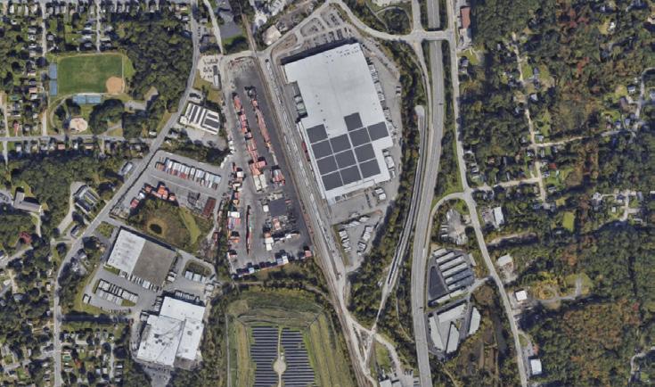
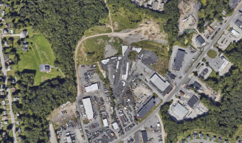
 Goddard Memorial Dr
Brooks St Pullman St Franklin St
Blackstone River Rd
SW Cutoff
Crescent St
Common License
Image
Source: Google Maps/Creative
Worcester Now City of Worcester 55
Place Types: Special Use Districts—Shopping Center
Large
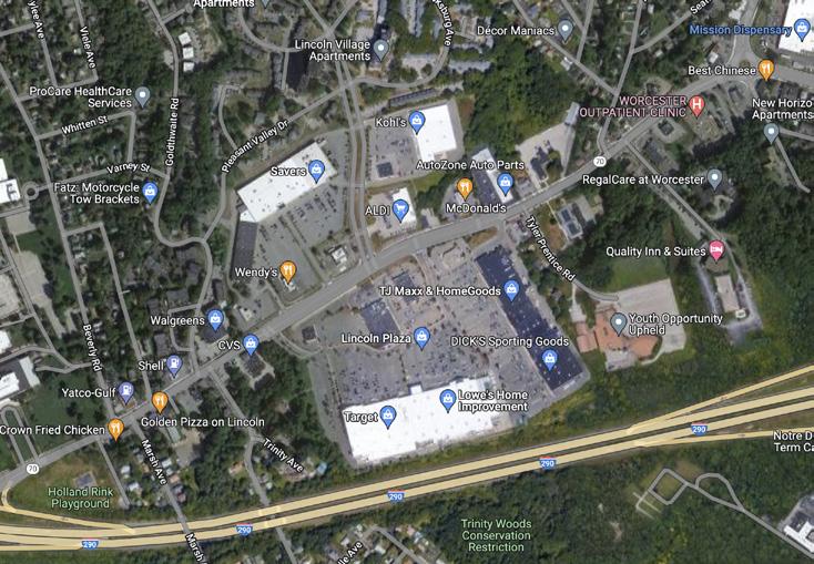
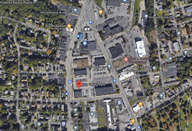
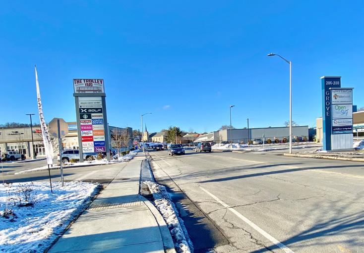
with
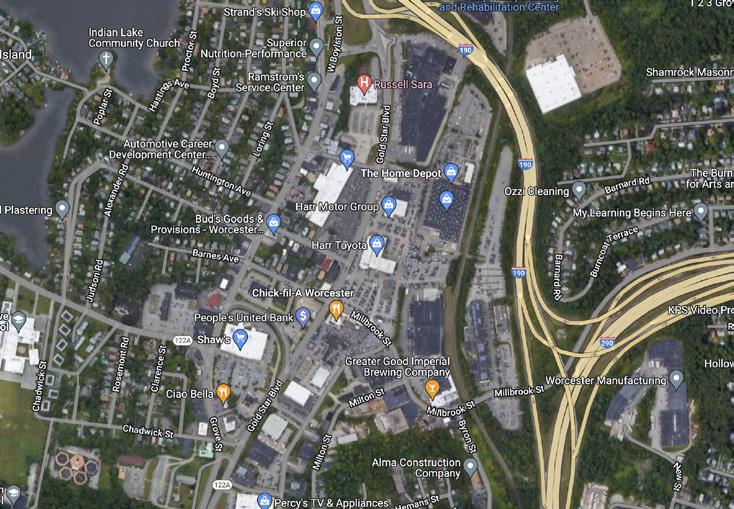
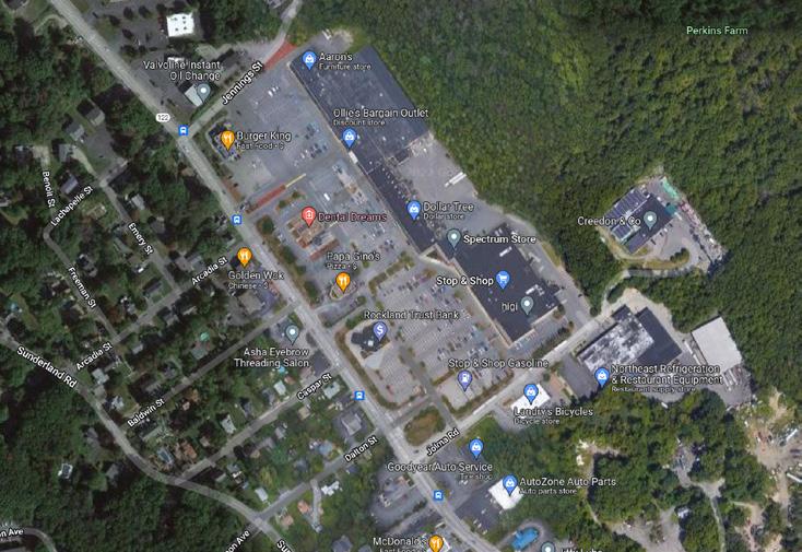
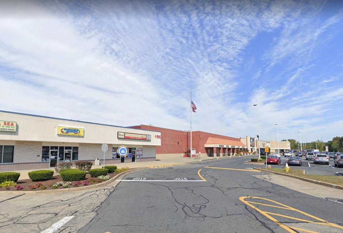 Image Source: Google Maps/Creative Common License
shopping complexes
vast parking areas such as Lincoln Plaza, areas along Gold Star Blvd, W Boylston St/Millbrook, and Webster Square Plaza.
Lincoln Plaza Street View Gold Star Blvd Street View Webster Sq Plaza Street View
Trolley Yard on Grove St
Perkins Farm Marketplace on Grafton St
Worcester Now Worcester Now | Next 56
The Worcester Fair on Greenwood St
Place Types: Special Use Districts—Campus
Schools, universities and other institutional and special use areas that often have a campus-like feel.
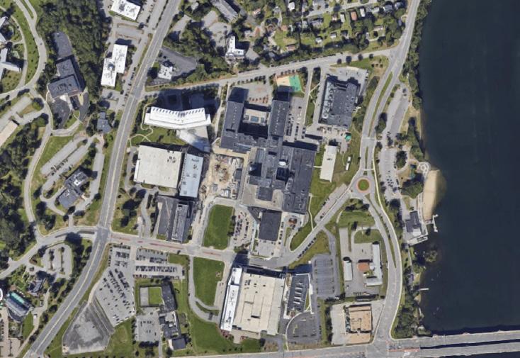
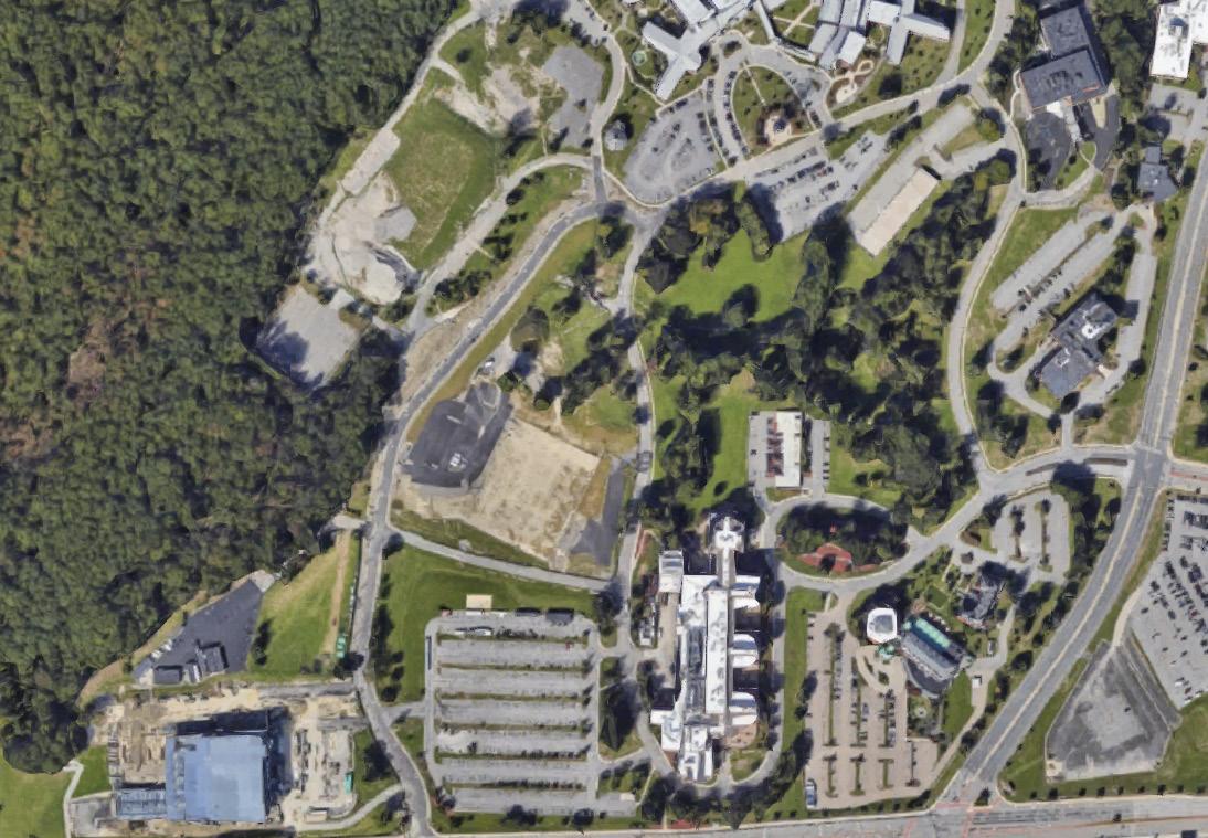
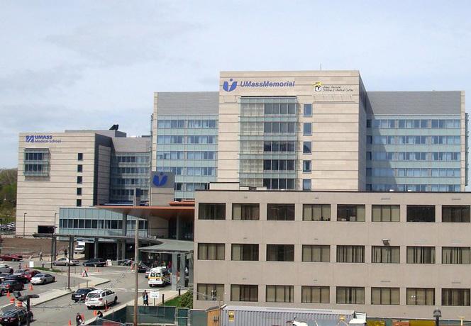
 Image Source: Google Maps/Creative Common License
Clark University
Quinsigamond College Worcester Worcester Polytechnic Institute
UMass Chan Medical School
AbbVie Bioresearch Center
Worcester Now City of Worcester 57
Place Types: Special Use Districts—Open Space
An area for conservation and/or recreational activities. Worcester’s open spaces include large community parks with water features, woodland landscapes with steep terrains and scenic vistas, neighborhood playgrounds, sportsfields, community gardens and more. These are areas of both community and environmental importance, and areas we aim to preserve and maintain for years to come.
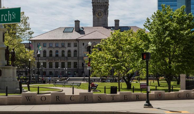

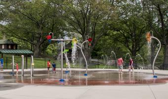
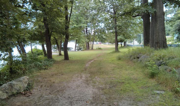
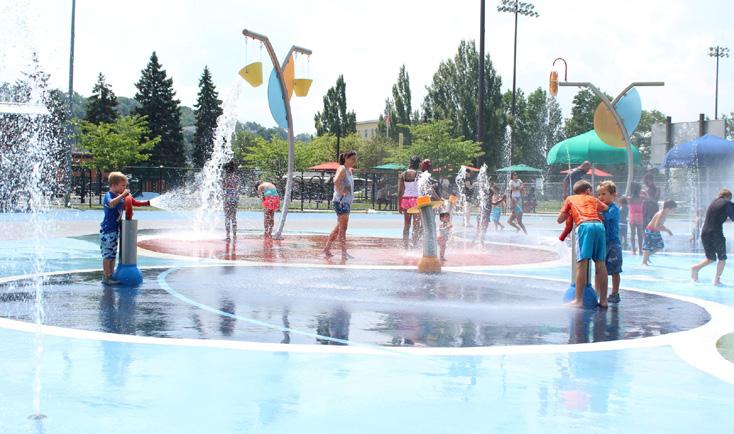 The Worcester Common
Source: City of Worcester website and Google Creative Common License
Institute Park
Elm St Park
Blackstone Gateway Park
University Park
Harry Sherry Field (S. Worcester Playground) Cristoforo Colombo/East Park
Forest Grove
Greenwood Park
Worcester Now Worcester Now | Next 58
page intentionally left blank
Worcester Now City of Worcester 59
Worcester
Policies
Policies are often used to regulate and shape the relationship of people to places. Like all American cities, Worcester’s current settlement patterns reflect not only the influence of the environment and economy but also the troubled history of federal policy that disproportionately impacted communities of color, immigrant communities, and low income households. Urban renewal, highway building, redlining, and local zoning in the last century not only exacerbated
Population Change 1790 – 2020
inequity in the built environment by reinforcing segregation by race, national origin, and income, it also tore apart the physical and social fabric of communities and their relationship to one another. This plan is an opportunity to intentionally recognize the harms of past actions and work to help undo that legacy by dismantling barriers to more integrated, connected, and sustainable settlement patterns, starting with an overhaul of the city’s outdated zoning.
Worcester becomes a City, 1848 Approx. 17,000 Residents
1825 - 1949: Industrialization Growth of Approx. 190,000 Residents
Industrial Peak Booming Business
Source: University of Richmond “Renewing Inequality” Research and Visualization: https://dsl.richmond.edu/panorama/renewal/ and Worcester Historical Museum’s “Worcester History” website: https://www.worcesterhistory.org/worcesters-history/
National Policy
0 100,000 200,000 300,000 1848 1860 1870 1880 1890 1900 1910 1920
Worcester Now Worcester Now | Next 60
Great Depression & WWII Uncertainty & Faltering Growth
Last Citywide Plan, 1987 Approx. 168,000 Residents
Lowest Population, 1980 161,799 Residents
Worcester Now | Next Citywide Plan: what’s next?
Exceeds Previous Peak, 2020 206,518 Residents
Previous Peak, 1950 203,486 Residents 1990 - 2020: Reinvention Regain Approx. 40,000 Residents 1950 - 1989: Industrial Decline Loss of Approx. 40,000 Residents
Restructuring of American Cities
1910 1920 1930 1940 1950 1960 1970 1980 1990 2000 2010 2020 ’24
1934
1968:
Policies 1944
1973: Highway Building Era 1949
1974: Urban
Public Housing Building Era
-
Federal Housing Administration “Redlining”
-
-
Renewal &
National Policy
Worcester Now City of Worcester 61
The Legacy of Redlining
This 1936 “Redlining” map shaped nearly a century of investment patterns in Worcester.15 Like all Redlining maps, it codified the makers’ biases against people of color, immigrants, ethnic and religious minorities, and lower income residents. These maps were commissioned by the Home Owners’ Loan Corporation (HOLC), a government-sponsored corporation created as part of the New Deal to prevent foreclosures through federally-backed mortgage loans with better payment terms. Worcester’s neighborhoods were classified into four categories, ranked based on their perceived level of risk for federally backed home mortgage loans.
Redlining policies in Worcester have contributed to segregation and inequity. Specifically, the 1936 Redlining map rankings were used to deny fair access to loans, largely based on the race, ethnicity, and national origin of residents. Due to this bias, residents, property owners, and business owners in the neighborhoods shown in red and magenta were systematically denied the financial resources needed to invest in their homes, properties, and businesses - this accelerated divestment, worsened segregation and inequity, and undermined generational health and wealth. As a result, the socioeconomic rank of those Worcester neighborhoods have largely stayed the same, and they have been disproportionately impacted by divestment and spikes in rent since 2010.
1936 HOLC "Redlining Grade" "Best"
"Still Desirable" "Definitely Declining" "Hazardous"
Current Environmental Justice Areas
3 contributing factors
2 contributing factors
1 contributing factor
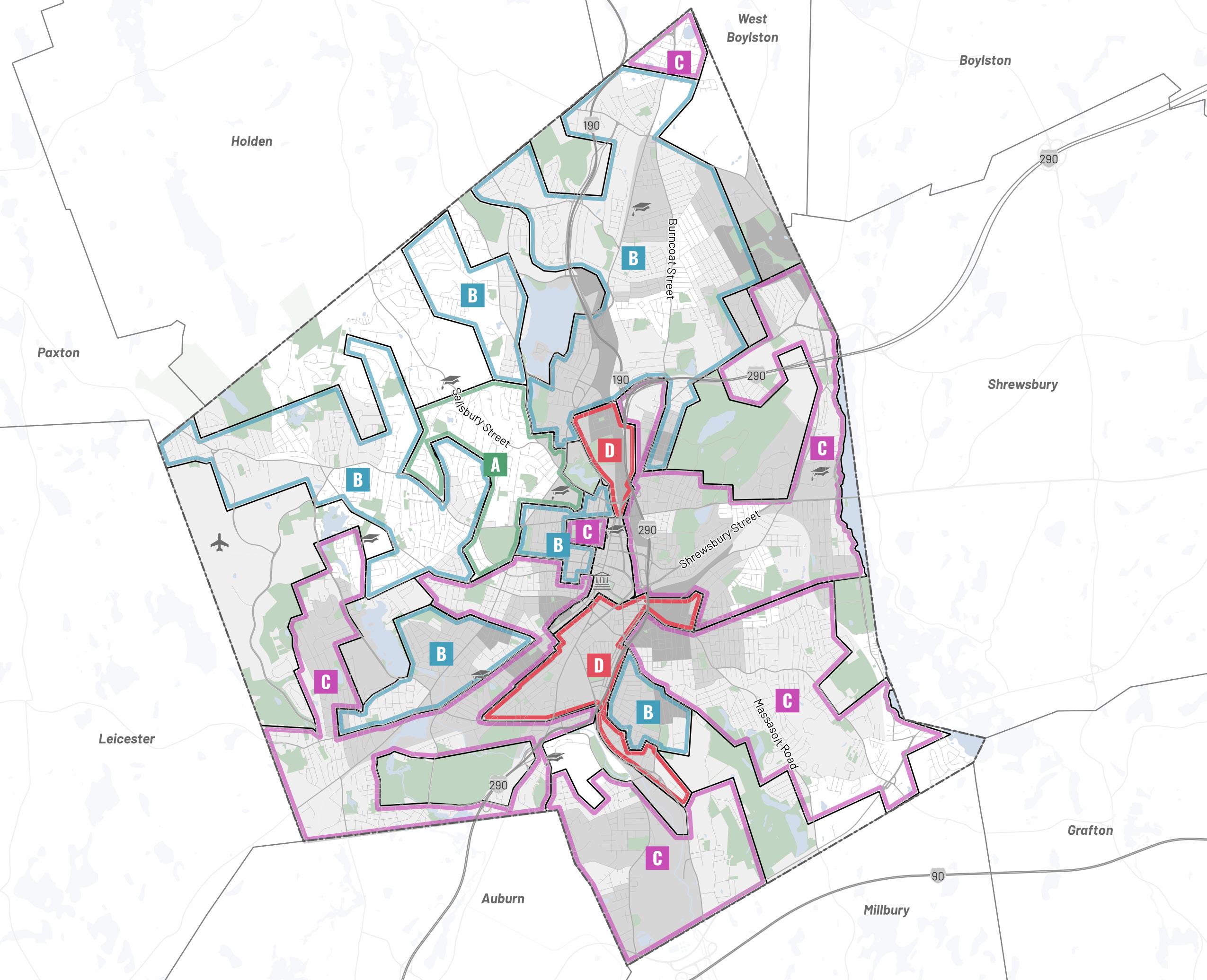
15. Source: "Static Income, Rising Costs: Renting in the Heart of the Commonwealth” a Worcester Regional Research Bureau (WRRB) report, with support from the University of Richmond “Mapping Inequality” initiative led by Robert Nelson. To read the full WRRB report, visit https://www.wrrb.org/ reports/2022/12/static-income-rising-costs-renting-in-the-heart-of-the-commonwealth
Digital map of redlining developed by Worcester Regional Research Bureau from the University of Richmond’s image.
A B
C D
Worcester Now Worcester Now | Next 62
Table of Modern Day Impacts of 1936 Redlining 16
16. Source: “Redlining: An Economic Legacy” a Worcester Business Journal (WBJ) and Worcester Regional Research Bureau (WRRB) partnership, with support from the University of Richmond “Mapping Inequality” initiative led by Robert Nelson. To read all five WBJ elements and see the full WRRB report, visit https://www.wbjournal.com/article/redlining-an-economic-legacy-see-all-the-elements-from-the-wbj-wrrb-report
Data Sources: University of Richmond, Google Maps, Neighborhood Scout, U.S. Centers for Disease Control, American Community Survey.
Method Notes: The modern day neighborhoods were determined by comparing the 1936 redlining map with 2022 map of Worcester, and each neighborhood determination is approximate. The Social Vulnerability Index is a composite score from the U.S. Centers for Disease Control made from 16 U.S. Census data points, to determine neighborhoods’ potential negative effects on human health; a higher score indicates a more vulnerable population. The 2020 median income is based off the Census tracts most aligning with the 1936 map, as calculated by the Worcester Regional Research Bureau.
1936 Zone Modern day neighborhoods included in zone 1936 rank 2022 social vulnerability index score (rank among 15) % non-white population in 2020 % of housing occupied by renters in 2020 1 Salisbury Street and Hammond Heights Best 0.351 (1) 35.1% 40.9% 2 Tatnuck and West Side Still desirable 0.446 (2) 44.6% 26.8% 3 Indian Lake and Assumption University Still desirable 0.753 (8) 75.3% 31.7% 4 Burncoat and Greendale Still desirable 0.725 (4) 72.5% 50.3% 5 Columbus Park and around Clark University Still desirable 0.737 (7) 73.7% 72.2% 6 Elm Park Still desirable 0.664 (3) 66.4% 90.2% 7 Vernon Hill Still desirable 0.867 (12) 86.7% 76.1% 8 Northern parts of Indian Hill and Burncoat Definitely declining 0.726 (5) 72.6% 22.6% 9 Webster Square and Beaver Brook Definitely declining 0.833 (11) 83.3% 70.0% 10 Morris Square Definitely declining 0.801 (10) 80.1% 92.4% 11 Plantation Street and Chandler Hill Definitely declining 0.793 (9) 79.3% 73.7% 12 Grafton Hill and Union Hill Definitely declining 0.730 (6) 73.0% 51.4% 13 Quinsigamond Village and Broadmeadow Brook Definitely declining 0.888 (14) 88.8% 58.2% 14 Indian Lake East and North Lincoln Street Hazardous 0.886 (13) 88.6% 75.5% 15 Main South and South Worcester Hazardous 0.895 (15) 89.5% 78.4%
Worcester Now City of Worcester 63
The Scars of 1950-1970 Urban Renewal
The term “urban renewal” is sometimes used in a general sense to discuss the revitalization of existing urban areas, but for the purposes of this plan, we are using it to refer specifically to the series of national policies and programs in the 1950s through 1970s that resulted in large-scale seizure of private property through eminent domain, and the subsequent demolition and redevelopment of those areas for new infrastructure and new institutional, public, or public housing uses. In general terms, this series of programs was intended to address very real and urgent needs - unhealthy or unsafe housing conditions, struggling commercial and industrial districts that were navigating deindustrialization and the economic impacts of the suburbanization of the US population, and increasing pressure to accommodate automobile travel. However, in practice the implementation of these programs nationwide were often racially motivated, brutally destructive, and misguided in their urban design principles. Ultimately, all across the US this period of “urban renewal” resulted in large swaths of auto-oriented “superblock” development, underutilized auto-oriented corporate, retail, and residential developments
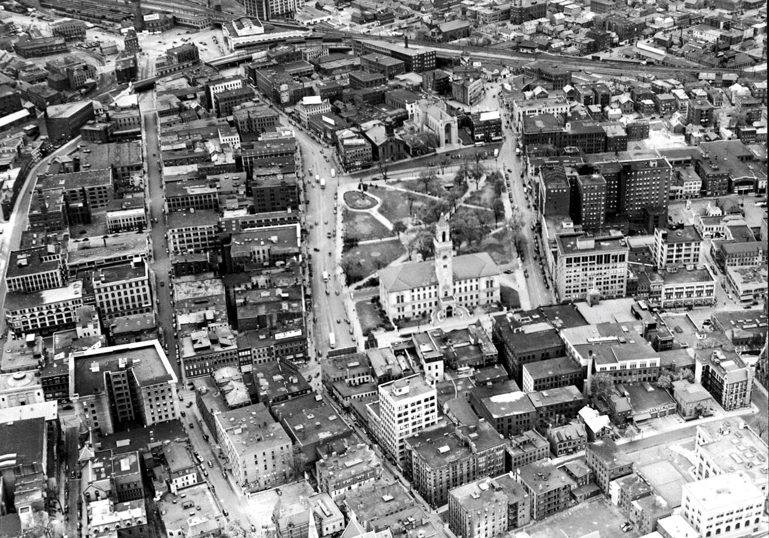
that didn’t stand the test of time, and eventually led to a proliferation of vacant land and buildings in formerly vibrant districts.
Worcester was not immune to the destruction and misgivings that accompanied this period of urban renewal. We have put together a visual timeline that summarizes the issues, key players, alternative visions, and outcomes of urban renewal in this time period. Worcester's experience with urban renewal in the 1950s-1970s is a story that should be told and understood by residents and policymakers to learn from those mistakes and avoid repeating them. The approach during that era had a lasting negative impact on the physical and social fabric of Worcester's downtown and connectivity of its neighborhoods. More recent urban renewal efforts of the late 1990s and today, such as the restoration of Union Station and the Downtown Urban Revitalization Plan, represent a more tactical and successful approach.
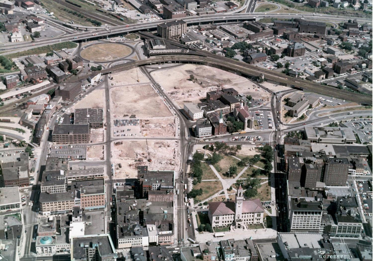 1939; Worcester before urban renewal
Image Source: E.B. Luce, shared courtesy of Stephan Mita.
1968; Worcester after urban renewal
Worcester Now Worcester Now | Next 64
Image Source: E.B. Luce, shared courtesy of Stephan Mita.
Downtown & Corridor Redevelopment
Worcester’s downtown core was systematically isolated from the life of the city around it for half a century due to the combined effects of a political focus on clearing the way for easy automobile access to downtown (like nearly all American cities at this time) and academic interest in new forms of urban design from Columbia and Harvard.
Like other American cities, leaders in Worcester lobbied for expanded streets and new parking
garages that could attract an emerging suburban workforce. The development patterns that resulted from the popularization of the personal automobile shifted residential uses out of the urban core. New designs prioritized cars and commuters at the cost of the walkability, access to public transit, and the mixed-use vibrancy downtowns are known for. This editorial from the early 1950s makes a case for the Salem Street Redevelopment Project, the first in what proved to be several adjacent large-scale clearance projects.
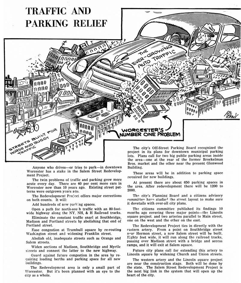
Worcester Now City of Worcester 65
Image Source: Worcester Public Library, shared courtesy of Stephan Mita.
Notably, downtown Worcester was the subject of a study by graduate students at Columbia University in 1962. The urban design effort, led by Columbia professor Stanley Sharp, proposed a ring of parking garages around a pedestrian-only core, as did later proposals by Josep Lluis Sert, the Chairman of the Graduate School of Design at Harvard.
Before the wholesale clearance of the downtown area east of the Common in the mid-and-late 1960s, Front Street connected City Hall and the Common with Union Station. Interestingly, the front facade of Union Station aligned with the continuous street wall of Front Street, making the station an integral part of the walkable center core.
 Left: Columbia Professor Stanley Sharp. Image
Source: Telegram and Gazette, shared courtesy of Stephan Mita.
Right: 1968 photo of Francis H. Dewey III, president of Mechanics Bank, and Robert S. Bowditch with a rendering of the proposed Mechanics Bank building, a part of the Worcestrer Center project.
Source: Worcester Historical Museum
Lower Front Street prior to redevelopment, 1968.
Worcester Now Worcester Now | Next 66
Source: Worcester Historical Museum
 Top: Birds eye view of Worcester after the completion of the Worcester Center project, circa 1975.
Left: Worcester City Hall and Plaza after the completion of the Worcester Center project, circa 1975.
Worcester Now City of Worcester 67
Source: Worcester Historical Museum.
Successive urban renewal projects successfully cut off the station from the rest of the city and elevated the importance of the private automobile as the preferred choice for commuters and shoppers.
Such efforts led the downtown to continue to be a target for renewal efforts and in 1971, the Worcester Galleria, a $130-million project opened its doors. The Galleria, an urban mall with 75 stores and a parking garage with a capacity for 4,300 vehicles, replaced 34 blocks of the downtown Front Street area. Ultimately, the mall closed in 1991 after many stores were vacated, and it reopened in 1994 as Worcester Common Fashion Outlets. In 2006, the Outlets closed permanently, and since 2006, parts of the former Galleria have been demolished to make
way for the CitySquare project, a new mixeduse redevelopment of the failing mall. The new development reestablished Front Street and linked the Common to Union Station once again in an effort to partially correct the damaging effects of the urban renewal effort.
Like most American cities, much of Worcester’s downtown core was demolished or systematically undermined by these series of misguided urban renewal projects that were intended to counter the effects of the suburbanization of Worcester and the decline of its industries starting in 1960. In recent decades, the city has instituted various projects intended to reactivate and revitalize downtown by bringing back the kind of humanscale, walkable, and vibrant urban districts that urban renewal projects destroyed.
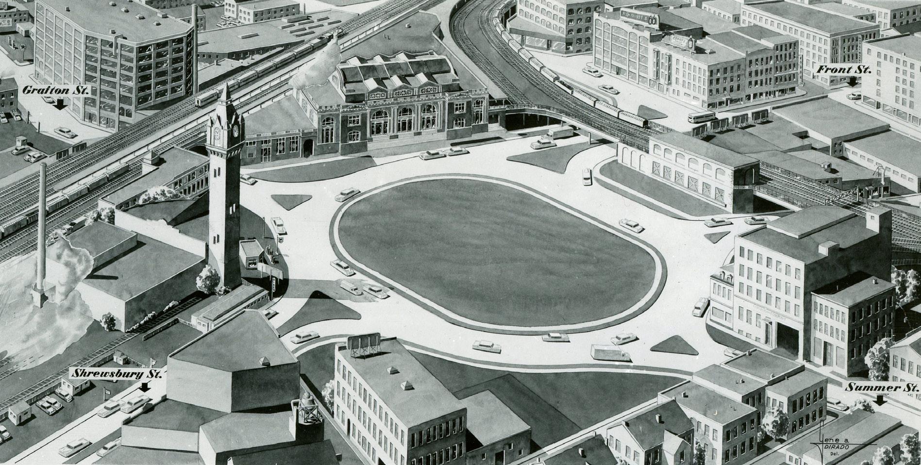
 A 1955 illustration of Massachusetts Department of Public Works proposed improvements to Washington Square in front of Union Station, prior to the conceptualization and construction of the East Side Expressway.
Source: Worcester Historical Museum
Worcester Now Worcester Now | Next 68
Left: Seven Hills Plaza and old bus depot taken by photographer Marvin Richmond after the completion of Seven Hills Plaza in the late 1960s. Bottom Right: Looking toward Providence Street (twin spires) and old Union Station (tower on the right) from upper Main Street, around Thomas Street, circa 1900-1910. Source: Worcester Historical Museum
Highway Construction & Neighborhood Redevelopment
This automobile-centric approach was not limited to downtown and commercial corridors—if anything it was more harmful in the neighborhoods of Worcester. Laurel/Clayton remains one of the most memorable cases of neighborhood-scale urban renewal in Worcester.
In 1970, part of the neighborhood previously known as Laurel/Clayton was cleared to make way for the building of Interstate Highway 290. Laurel/Clayton was a predominantly working class African American neighborhood adjacent to downtown Worcester. Another part of the neighborhood was seized by The Worcester Redevelopment Authority which displaced 225 households so that State Mutual Insurance Company could develop the low-income housing project currently known as Plumley Village.
Laurel/Clayton was home to numerous local businesses and institutions that catered to its residents such as a school, a market, a public bath, and other stores and entertainment centers. The building of Plumley Village, which replaced a walkable residential neighborhood with many large apartment buildings, did not
go uncontested. Residents of the area staged several protests claiming that no one in the community had asked for this redevelopment. The City of Worcester created a Citizens Advisory Committee in response to residents claiming they continued to learn about the city plans for their neighborhood through the news rather than meaningful public engagement. As a result of the displacement caused by this early urban renewal initiative, many residents who were homeowners in Laurel/Clayton faced difficulties finding new homes in the city as they were not able to afford the prices, and returning to the new Plumley Village would mean renting, which was less desirable.
Many of the areas cleared and redeveloped during urban renewal—whether downtown or in the neighborhoods—remain disconnected from neighboring districts and share a lack of pedestrian activity and connectivity. Unifying the city and beginning to re-integrate these disconnected, and in some cases distressed, former urban renewal districts back into a more vibrant, equitable, and walkable community fabric is part of the work this plan intends to accomplish.
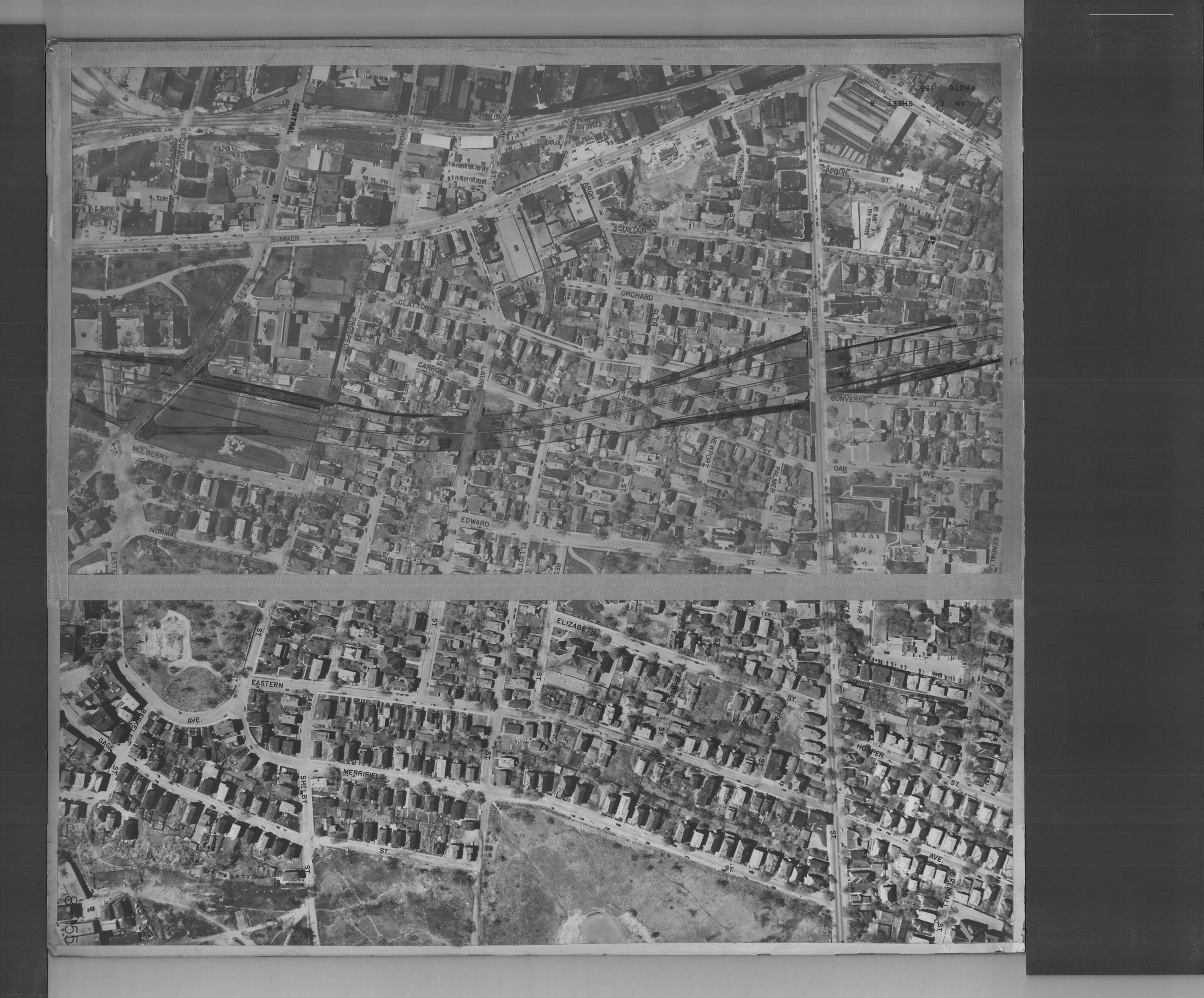
Limit of Takings Belmont St Clayton St Liberty St Oak Ave Converse St Orchard St Fountain St Glen St Laurel St Prospect St East Central St Carroll St Shelby St Edward St Elliott St Newport St Normal St Mulberry St Summer St Arch St Graphic shows the limit of takings for I-290 in the Laurel/Clayton neighborhood overlaid on a 1950s flyover aerial image of the area.
Worcester Now City of Worcester 69
Zoning’s Historic Role in Exclusion and Discrimination
Like most tools, zoning itself is not good or bad— it is a neutral tool that is used to achieve the goals of the people who create it. Unfortunately, early zoning in the US was often used as a way to segregate uses and people. Established communities all over the US created or modified existing zoning to require lower densities and restrict uses (often called down-zoning or restrictive zoning) in order to prevent more affordable and mixed development patterns, and in some cases even went as far as preventing new infill development that would have been in line with historic neighborhood redevelopment patterns. This widespread retroactive downzoning has led to entire neighborhoods where non-confirming buildings and uses are the norm,
routine alterations (like the addition of a garage or deck) require special permission, and new construction is only possible by consolidating multiple lots.
Just like elsewhere in the US, restrictive zoning in Worcester has in many cases reinforced redlining policies and extended the exclusionary impact of policies of that era far beyond when lending policies began to improve. For instance, when we compare Worcester's 1936 Redlining map with the city's current zoning map, which was primarily created in 1963 and has gone through incremental revisions since, it becomes clear that there is a strong correlation between singlefamily zoning and favorable 1936 redlining Redlining data developed by Worcester Regional Research Bureau from the University of Richmond’s image.
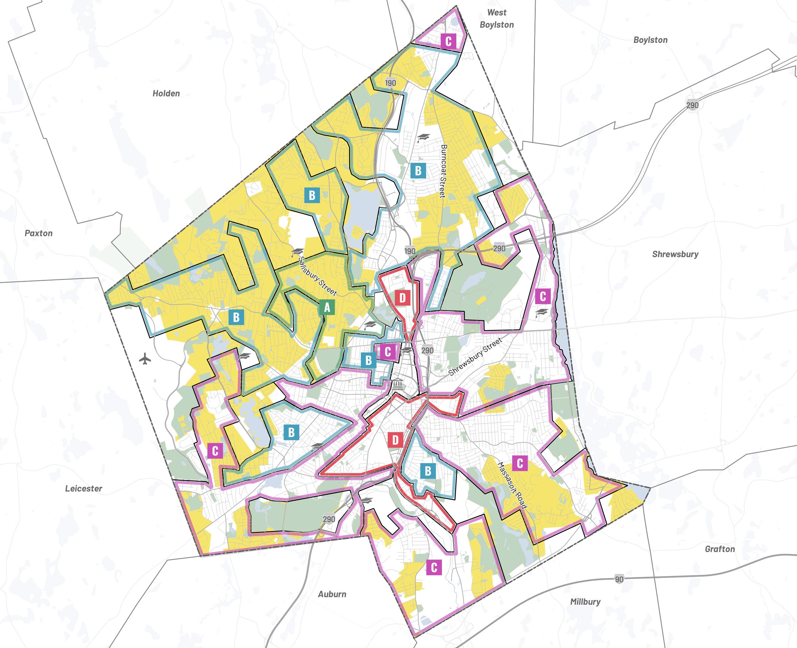
Historic
Grade (a.k.a. 1936 "Redlining Grade") "Best" "Still Desirable" "Definitely Declining" "Hazardous" A B C D Current
(RS-10
RS-7) Worcester Now Worcester Now | Next 70
Home Owners Loan Corporation Neighborhood
Single-Family Zones
&
RG-5 District
Business Districts
Industrial Districts
Other District(s)
Citywide Average
RL-7 District
RS-7 District
Institutional Districts
RS-10 District
Race/Ethnicity
(Non-Hispanic)
(Non-Hispanic)
Residential Zoning Districts
RG-5: Residence, General 5,000 SF lot minimum
(Non-Hispanic)
or Latino
RL-7: Residence, Limited (Single – Two Family) 7,000 SF lot minimum
RS-7: Residence, Single Family 7,000 SF lot minimum
RS-10: Residence, Single Family 10,000 SF lot minimum
rankings and that multi-family zones were almost exclusively ranked lower. In this way, the zoning helped to codify and enforce the same economic and social segregation and inequities as the 1936 redlining maps, through the lens of land use and density rather than lending and redevelopment. Specifically, because most single-family zones do not allow smaller lot sizes, and do not allow more than one unit per lot, they inherently exclude those with moderate and low incomes.
Today, there is still a substantial relationship between Worcester’s land use regulatory system and racial and ethnic demographics of residents in each neighborhood. Areas of Worcester where multi-family zoning is allowed by-right have substantially more residents of color than the city as a whole: 70,353 residents live in Worcester’s general residential zone (RG-5), and 31.6% of these residents are white (non-hispanic), compared to 48.9% citywide. Conversely, zones with large minimum lot sizes and single-family restrictions have substantially fewer residents of color: 7,510 residents live in Worcester’s RS-10 zone (geographically comparable in size to the
Non-Residential Zoning Districts
Institutional: Medical (IN-H) & Educational (IN-S)
Business: General (BG,
Other: Airport District
RG-5 district), of whom 78.2% are white (nonhispanic). Zones with intermediate densities are closer to the citywide demographics, but the RS-7, RL-7, and institutional zones still have more white residents and fewer residents of color than the city as a whole. This is just one example of how policies that are the legacy of a different time are still shaping—and limiting— residents' access to certain neighborhoods, communities, and opportunities.
By laying the groundwork for comprehensive rezoning (or a “zoning overhaul”) in the City of Worcester, this plan can help accelerate the long and complex process of dismantling these harmful land use, redevelopment, and lending policies that have worked together to displace, disrupt, segregate and exacerbate inequity along racial, ethnic, and class lines. While zoning is not sufficient on its own to undo past harm, updating zoning to allow a greater diversity of housing types and land uses is a critical first step to provide the foundation needed for future equitable development and planning initiatives that engage residents in defining the future of their neighborhoods.
0% 10% 20% 30% 40% 50% 60% 70% 80% 90% 100%
White
Black
Asian
Hispanic
Multiracial Some Other Race Indigenous
FAR
Limited (BL, FAR 1.0) & Office (BO, FAR 1.0 – 2.0) Industrial: General (MG, FAR 0.5-2.0) & Limited (ML, FAR 0.5 – 2.0)
2.0 – 6.0),
Worcester Now City of Worcester 71
Racial and Ethnic Composition of Worcester Zoning Disricts
Zoning’s Future Role in Shaping Positive Change
Despite the inequities perpetuated by misguided zoning, zoning itself remains the primary policy and regulatory tool that helps to define the relationship between people and places. As such, zoning remains an important tool to address the harm of past policies at the federal, state, and local levels by regulating land use, density, and urban form in a way that reduces rather than reinforces segregation and inequity. Furthermore, zoning is the single most powerful and immediately impactful tool Worcester has to codify and carry out the land use and development objectives identified through a citywide long-range plan like Worcester Now | Next.
As mentioned before, Worcester’s current zoning map, and the district categories, dimensional standards, and use parameters of Worcester’s ordinance generally date back to 1963—and some have their origins in earlier versions of Worcester’s zoning dating to the 1950s that are even more removed from today’s Worcester. Over time, Worcester’s zoning has been altered numerous times to address ad hoc special issues through map changes, footnotes, and topic-specific amendments. However, Worcester’s zoning has not been holistically updated since 1963, despite various omnibus amendments and significant updates in 1991. Outdated or overreaching zoning, like what is in place today in Worcester, is harmful because it can perpetuate inequities as discussed in the previous section and can adversely impact economic opportunity, transportation and mobility, and sustainable development goals.
To be a help rather than a hindrance, Worcester Now | Next will holistically address several interconnected shortcomings of the city's current zoning.
Like cities across the US, Worcester’s current zoning reinforces a legacy of segregation and discrimination that entrenches long-standing inequities.
Worcester’s zoning ordinance is strongly rooted in euclidean zoning principles, common in the mid20th century, and often used to effectively limit housing supply while increasing costs, reinforce auto dependency, and cause urban sprawl as well as segregation of communities. The zoning map continues to reflect those same principles that emphasize excessive and artificial segregation of land uses and inadequately address the discriminatory impacts of redlining from the mid-20th century. In concert with the zoning code update, the zoning map should be redrawn to reflect newly established zone types that align with transportation corridors and infrastructure, as well as reflect existing forms and uses, consistent with the growth framework and historic patterns of development.
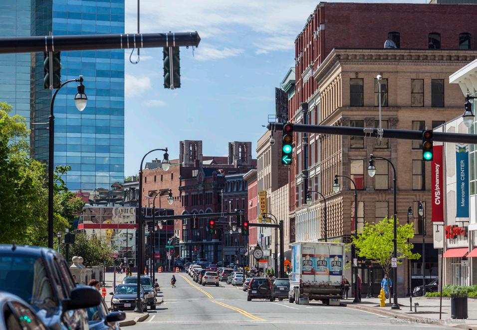
Worcester’s current zoning does not align land use policy with infrastructure, transportation, and city services.
In order to meet Worcester’s current and future needs, the city’s zoning needs to support transit oriented development by aligning higher density zones with the parts of the city that have the potential for the transit service and other infrastructure capacity that is necessary to support higher density. Currently, Worcester’s zoning allows for low density single-family residential and very dense multi-family but has little to address the wide variety of mid-density and residential mixed use between those two extremes that would align best with many of Worcester’s neighborhoods, corridors, and centers. Furthermore, some areas that are zoned to allow the densest residential development—particularly the Residential General 5 (RG-5) district—are located in parts of the city that are not well-suited to support that density over the long term due to environmental constraints, limited utility capacity, poor transit service, and inadequate streets that are insufficient for the intensity of use permitted and pose challenges for waste removal and emergency services.
Worcester Now Worcester Now | Next 72
Photo Credit: Discover Central Mass
Worcester’s current zoning does not support the growth Worcester has been experiencing and the housing production Worcester needs.
Targeted residential and commercial growth in specific areas of the city (as identified in the Growth Framework) will increase the city’s future capacity, protect the city’s balance between urban and natural areas, and expand city revenue to allow for improved city services. In the areas where residential growth makes the most sense, existing zoning and other regulations are barriers to achieving this objective. Common constraints like large minimum lot sizes, excessive parking requirements, outdated and overly restrictive allowed use constraints, and over-reliance on special permit and variance processes serve as barriers to the kind of sustainable growth that is desired and needed to meet the needs of Worcester’s residents, employers, and service providers now and in the future. Furthermore, the current map and code does not acknowledge and appropriately guide residential uses and building types at key thresholds (e.g. 4-unit, 6-unit, 12-unit, etc.) that bridge the huge gap between the existing “3-family” and large-scale “multi-family” categories – exacerbating the phenomena of the “missing middle”.
Worcester’s current zoning has minimum parking requirements that severely limit development opportunities that would otherwise be consistent with good development practices.
Current parking minimums for a wide variety of residential and commercial land uses are higher than urban needs and market norms. Such requirements reinforce development patterns that directly conflict with Worcester’s sustainability goals and encourage use of personal vehicles, and undermine development that would otherwise be both desirable and viable. Worcester has previously taken steps to address its inappropriate parking requirements by foregoing minimum parking requirements downtown (i.e. the BG-6.0 zone) and reducing them in the Commercial Corridor Overlay District (CCOD). However, in most parts of the city, current parking requirements outpace actual car ownership, and are therefore increasing housing costs and underutilizing land. In most areas where parking is currently in short supply, minimum parking requirements have a negligible impact because the housing stock predates autos and is therefore incompatible with off-street parking. These neighborhoods will function best when supported by the kind of multi-modal transportation environment in which they were built.
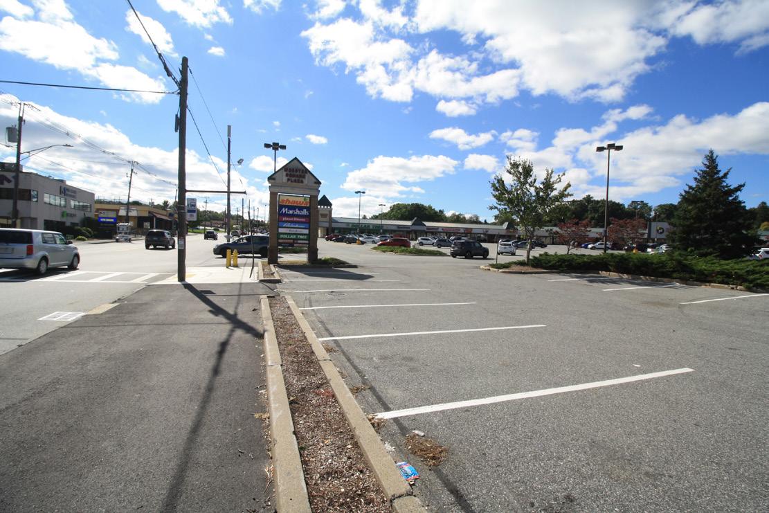
Worcester needs a citywide reduction of parking requirements, more consistent parking requirements across land uses (to allow for change of use flexibility), and tools to encourage complementary mixes of uses that can share parking resources. Off-street parking minimums may not be needed at all for some locations and users (for instance, this is already the case in the BG-6.0 zone), and the practice of providing off-street parking on every individual lot is generally counterproductive to good, sustainable urban design for walkable neighborhood corridors and centers. To that end, targeted elimination of parking minimums and potential introduction of parking maximums (beyond the CCOD-D) in existing and potential mixed use walkable areas would also be beneficial to the city. This kind of action would be consistent with the no-parking-minimum policies that many cities –Cambridge, MA, Hartford, CT, and Buffalo, NY – are adopting throughout the US as they are updating their zoning to meet modern needs and preferences.
Worcester Now City of Worcester 73
Worcester’s current zoning strictly segregates land uses and does not support economically viable and vibrant neighborhood centers that serve adjacent residential areas.
Worcester’s existing neighborhood centers serve as important social gathering places and hubs of amenities, services, and other commercial uses for adjacent residential uses. However, they are often limited to low-density, single story retail buildings, require excessive parking, and have surface parking lots along the street that undermine walkability and economic viability for the ground floor commercial uses. By encouraging increased density and varied uses in existing and emerging neighborhood centers, Worcester can simultaneously expand ground floor commercial uses that support improved quality of life and generate jobs, improve the economic viability of the businesses that occupy those spaces, and provide a diversity of housing types (including townhouses and multi-family uses).
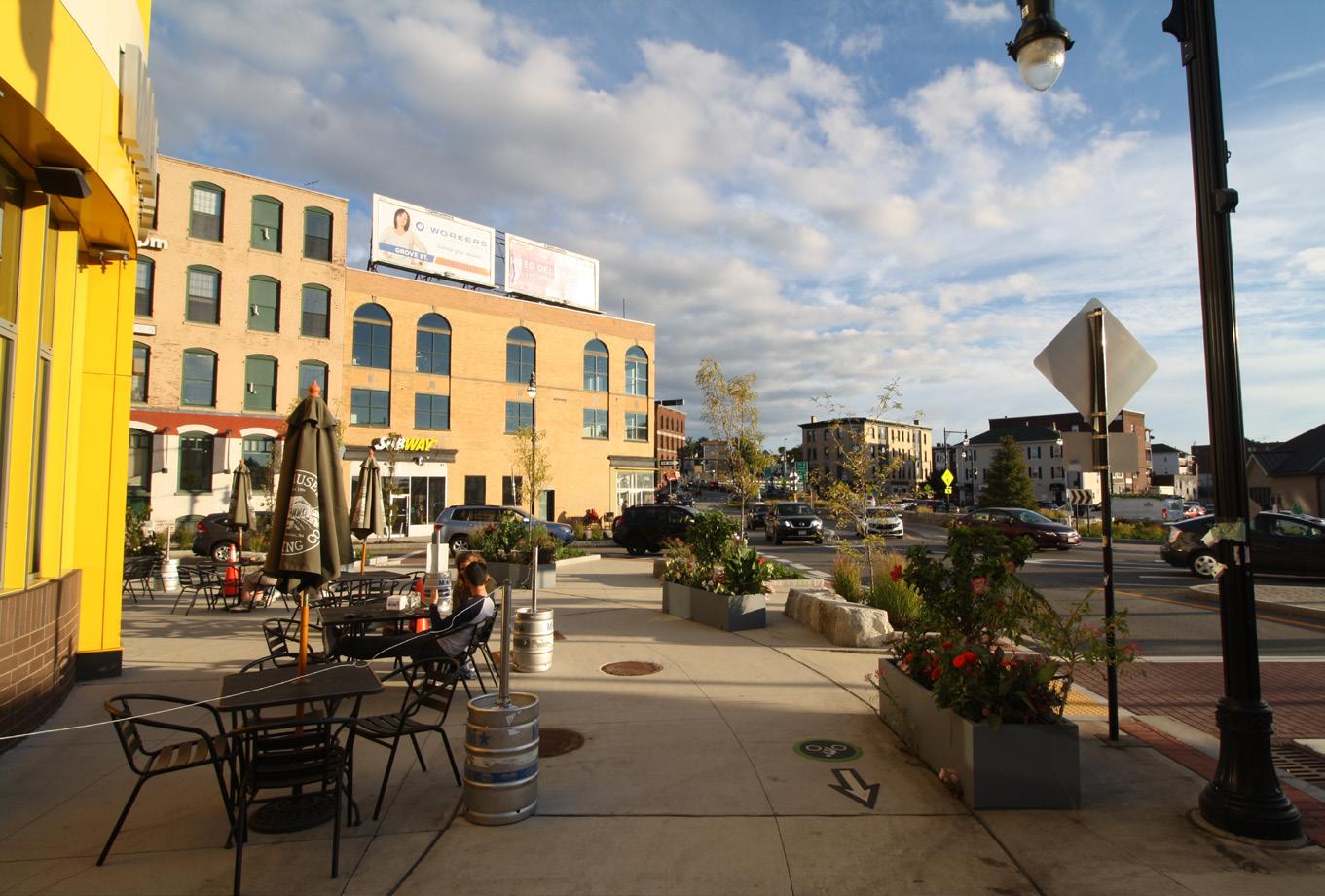
These updates should also incorporate dimensional standards and site planning parameters (like shifting parking to the rear and minimizing building setbacks) in order to enhance streetscapes and improve walkability in neighborhood centers throughout the city. The existing Commercial Corridor Overlay District (CCOD) is a good example of this “form-based lite” approach. Further, there are large sections of the city that are exclusively residential today, and not proximate to locations offering the kinds of neighborhood amenities and services typically found in neighborhood centers. Land use categories and the zoning map should be modified to establish such nodes at appropriate locations within areas that are exclusively residential today. Both existing and potential neighborhood centers would benefit from the creation of a new residentially oriented mixed use zoning district that is limited to neighborhood scale development with limited compatible non-residential uses.
Worcester’s current zoning does not support modern building types and use mixes in the city’s industrial areas.
Industrial and life science building types have changed dramatically as the work being done and the technologies in use have evolved, meaning that many of the building types and use mixes needed to support modern industrial uses are not permitted by-right even in districts intended for industrial uses. Due to the more rapid turnaround in construction time demanded by modern industrial and life science tenants, requiring a full special permit or variance process with each investment or alteration delays the development of projects and discourages businesses and developers from pursuing these projects in Worcester. In order to attract, retain, and grow valued industrial and life science employers in Worcester it is critical that the zoning code provides by-right development pathways for modern industrial building typologies and use mixes with right-sized parking requirements and thoughtful urban design parameters that promote sustainable, resilient development. Furthermore, it is worth noting that not all industrial areas are alike and they should not be treated as uniform under the regulations either. The zoning should help direct developers and employers to the places where their business can thrive and contribute positively to the district of which they are a part.
Worcester Now Worcester Now | Next 74
Worcester’s zoning map contains legacy manufacturing zones that are no longer suitable for traditional manufacturing uses.
While preservation of viable industrial land in the city is critical, it is also important to recognize and reimagine the many areas of the city that historically were used for industrial purposes but that are no longer well suited for such uses because of issues around building and parcel size, street network, and ability to support modern-day freight and logistics. Some of these outdated legacy industrial areas have already evolved to become residential and/or commercially focused neighborhoods, while others have struggled with vacant or underutilized properties. Notable examples include portions of the Canal District, Beacon/Brightly, and Shrewsbury Street neighborhoods. The manufacturing zoning in place in these out-moded legacy industrial areas limits their residential and commercial development potential, does not foster a built environment suitable for residential and commercial purposes, and allows for the establishment of new industrial uses that are not compatible with the evolving use mix in these neighborhoods. While this issue has been partially addressed through establishment of the Commercial Corridor Overlay District (CCOD) and Adaptive Reuse Overlay District (AROD), the base zoning should be modified to reflect the evolving and foreseeable land use trends in these neighborhoods, allowing appropriate uses by-right instead of special permit.
Worcester’s current zoning is not user-friendly or predictable.
Providing a modern, easy to understand, and predictable set of regulations to guide development in Worcester will not only help communicate expectations and hold developers accountable to community priorities, it will also make Worcester a more attractive location for investment from developers, who seek predictable, straightforward economic environments. Confusion, complexity, and unpredictability can be frustrating for developers and community members, and run the risk of chasing developers away or driving up housing costs to cover the increased development costs required to navigate discretionary processes. Modern zoning should be a user-friendly, digital, and visual zoning code with appropriate (limited) dimensional standards, more flexible housing and building types, mixed land uses, and public process expectations, heavily incorporating elements of a form-based code. Furthermore, user-friendly and predictable zoning is also better for residents and business owners, because it helps community members understand what they and developers are allowed to build and what is or is not discretionary.
Thoughtful, modern zoning that meaningfully addresses the shortcomings of Worcester’s current zoning listed above can help Worcester manage the pace and nature of modern development and ensure that development is in alignment with the goals and Growth Framework developed through the Worcester Now | Next process. Furthermore, a comprehensive overhaul of Worcester’s zoning that is rooted in modern needs and priorities will enable the City to:
1. Remove the inherited elements of the current zoning code that inadvertently perpetuate segregation and inequities;
2. Rely less on labor-intensive discretionary (e.g., special permit and variance) processes that inherently result in inconsistent and unpredictable outcomes and often perpetuate existing inequities;
3. Create a more user-friendly, digital, and visual zoning code easy for staff, residents, businesses, and developers alike to understand and apply;
4. Outline clear public process expectations; and
5. Develop appropriate (limited) dimensional standards that incorporate elements of a formbased code, while allowing for more flexible housing and building types and a greater mix of complementary land uses.
Worcester Now City of Worcester 75
Ideas
Worcester is defined as much by people and place as it is by the ideas that drive the city. Throughout the analysis and engagement of the Now | Next process we have sought to understand what is distinctive and valuable about the people and places that define the city. At the same time, we have urged people to share what issues and ideas they want this plan to address. By blending public and stakeholder input with focused analysis, several themes began to emerge along with challenges and opportunities. These themes, challenges, and opportunities became the foundation for the subsequent development of a vision, goals, and recommendations that can drive positive change over the course of the next decade.
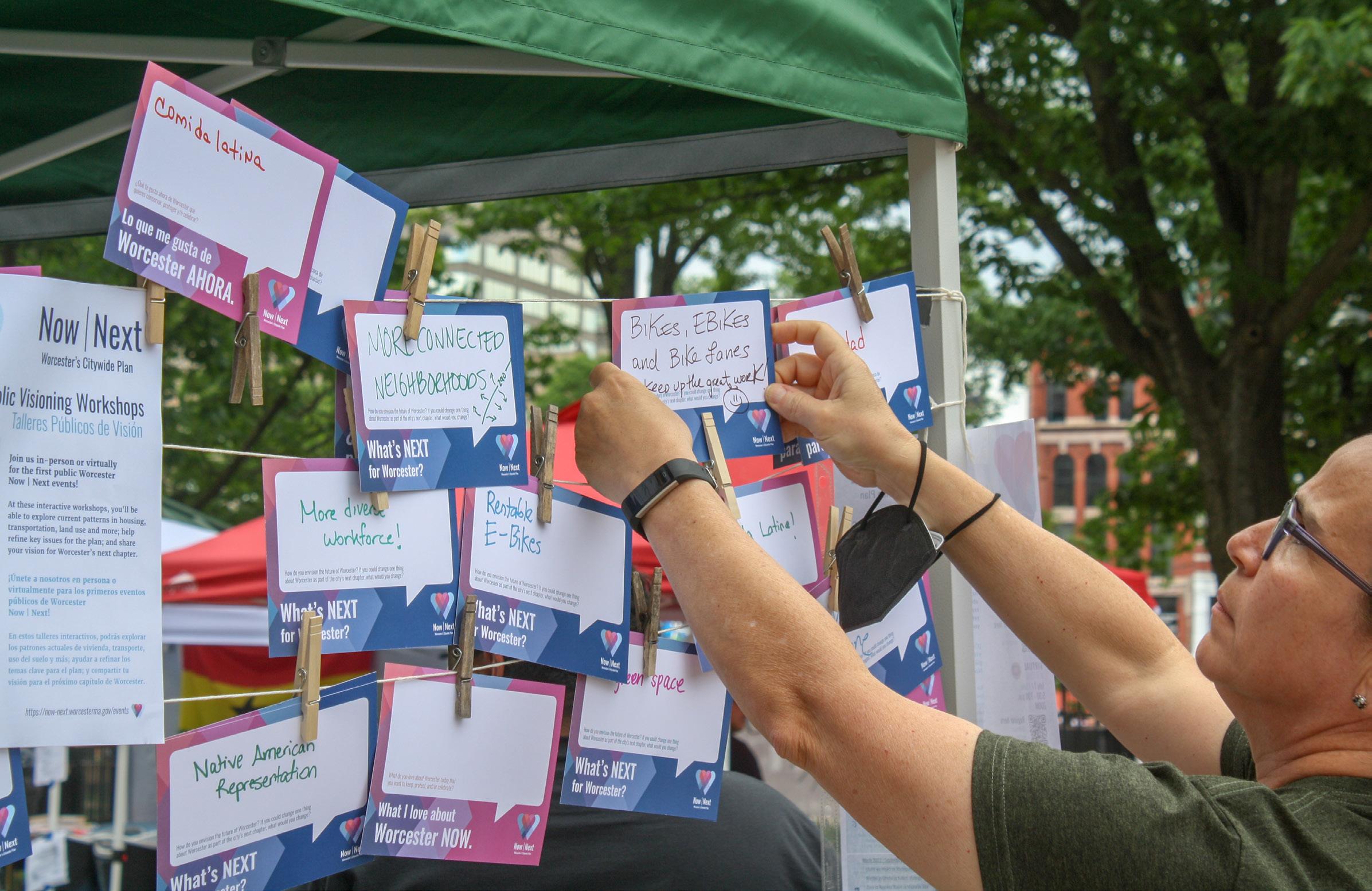
Worcester Now Worcester Now | Next 76
Building on Past Plans & Reports
Since Worcester’s last citywide planning effort, the City and its partners have undertaken numerous research and planning efforts that have guided decision-making within a specific topic or geographic area of the city. Worcester Now | Next is an opportunity to integrate that research and planning work into a single, unified planning framework to guide growth and change in the City for the next ten years, with a particular focus on the coordination of zoning regulation updates and capital investment programs.
In order to do that, the Planning Team reviewed the following recent plans and reports covering specific topics and areas of the city:
Research & Policy Reports
• Static Income, Rising Costs: Renting in the Heart of the Commonwealth, by the Worcester Regional Research Bureau (2022)
• Regional Labor Market Blueprint for the Central Massachusetts Region (2018, 2020)
• Worcester for Everyone: A Regional Housing & Economic Study Outlining Local Opportunity (2019)
• Report of the City Manager’s Task Force for Sustaining Housing First Solutions (2018)
• Analysis of Impediments to Fair Housing, Worcester, Massachusetts (2019)
• Central Massachusetts Grows: Greater Worcester Area Comprehensive Economic Development Strategy (CEDS) (2012)
Topic-Specific Plans
• Urban Forest Master Plan (2023)
• Open Space & Recreation Plan (2021)
• The Green Worcester Sustainability and Resilience Strategic Plan (2020), a.k.a. “Green Worcester Plan”
• City of Worcester Strategic Plan (2020), a.k.a. “The Strategic Plan”
• Becoming Worcester, The Evolution of a Creative City: a Cultural Plan for Worcester, Massachusetts (2019), a.k.a. “The Cultural Plan”
• Worcester Hazard Mitigation Plan Update (2019)
• Municipal Vulnerability Preparedness (MVP) Plan (2019)
• Worcester Facilities Management Consolidation Study (2019)
• Integrated Water Resources Management Plan (2019)
• Defining our Path, a Strategic Plan for Education in Worcester, 2018-2023 (2018)
• 5-Year Consolidated Community Planning and Development Plan (2018)
• Worcester Historic Preservation Study (2017)
• Complete Streets Policy (2017)
• Community Health Assessments (CHA) (2018)
• Greater Worcester Community Health Improvement Plan (CHIP) (2016)
Area-Specific Plans
• Main South Transformative District Initiative (TDI) (2020)
• Downtown Worcester Parking and Transit Study (2018)
• Downtown Urban Revitalization Plan (2016)
• Downtown Worcester Theatre District Master Plan (2012)
• Downtown Urban Design Guidelines (2012)
Worcester Now City of Worcester 77
Plan Framework Foundation
Three recent plans were foundational to the development of the framework for Now | Next: the City of Worcester Strategic Plan, Green Worcester Plan, and Cultural Plan. These three are summarized below to illustrate how they informed the Now | Next Plan Framework.
The Strategic Plan (2020)
The City of Worcester Strategic Plan articulates the City’s vision for a three to five year period, and how the City is going to achieve the vision by aligning government services, operations, strategies, goals, and objectives to help city leaders drive performance and outcomes, increase transparency, and enhance communication. Developed and launched in fiscal year 2020 after public input through focus groups and a citywide survey, the Strategic Plan is a living document that is being integrated into the everyday activities of city government. While the Strategic Plan was focused on internal performance and service delivery to enhance economic competitiveness, it provided an important foundation for the Worcester Now | Next vision and guiding principles, which build off of the values and priority goals identified in the Strategic Plan:
Values:
• Inclusion
• Innovation
• Integrity
Priority Goals:
• Vibrant, Thriving City
• Strong Neighborhoods
• Opportunity for All
• Sound Fiscal and Operational Government
Green Worcester Plan (2020)
Green Worcester was developed by the City’s Energy & Asset Management Division (now Department of Sustainability & Resilience) over a two-year period with the collaboration of the Green Worcester Working Group and public participation included a statistically valid public opinion survey, with an online complement, a public workshop, and a public open house on proposed goals and actions. The Green Worcester Plan built on the 2006 Climate Action Plan and 2019 Municipal Vulnerability Preparedness plan to create a citywide framework for equity-driven sustainability and resilience. The plan not only lays out steps for the city to transition to 100% clean and renewable energy by 2045, it also identifies how the City can retrofit buildings and transportation infrastructure, invest in natural systems, and achieve social equity.
The Green Worcester Plan set out to envision a “green heart” for Worcester by developing a framework for government, residents, businesses, and institutions to work together toward a resilient, green, livable, prosperous, and equitable city. The Now | Next plan is therefore, in many ways an extension of and complement to the Green Worcester ambition to embed sustainability and resilience with equity into all policies.
The Cultural Plan (2019)
Becoming Worcester, The Evolution of a Creative City: a Cultural Plan for Worcester was commissioned by the City of Worcester, the Worcester Cultural Coalition, and the Greater Worcester Community Foundation. The plan outlines actions for city agencies and local
Worcester Now Worcester Now | Next 78
organizations to further the plan’s vision of an inclusive, cohesive, diverse, and innovative Worcester.
The Cultural Plan envisioned a city with strong physical and social cohesion that enables ease of movement for people of all ages, abilities, and means; a city that supports innovation and entrepreneurship, learning, and cultural opportunities for all; a city that reflects its heritage, its diverse cultures, and new ideas in its public spaces, downtown, natural and built environments, and in its neighborhoods; and a city where daily life is supported by local commerce, services, and activities related to the diverse traditions, creative expressions, and collective celebrations of all its people. Like Green Worcester, many of these ambitions and ideas bridge naturally into the vision and plan framework for Now | Next, which will reflect and reinforce this vision.
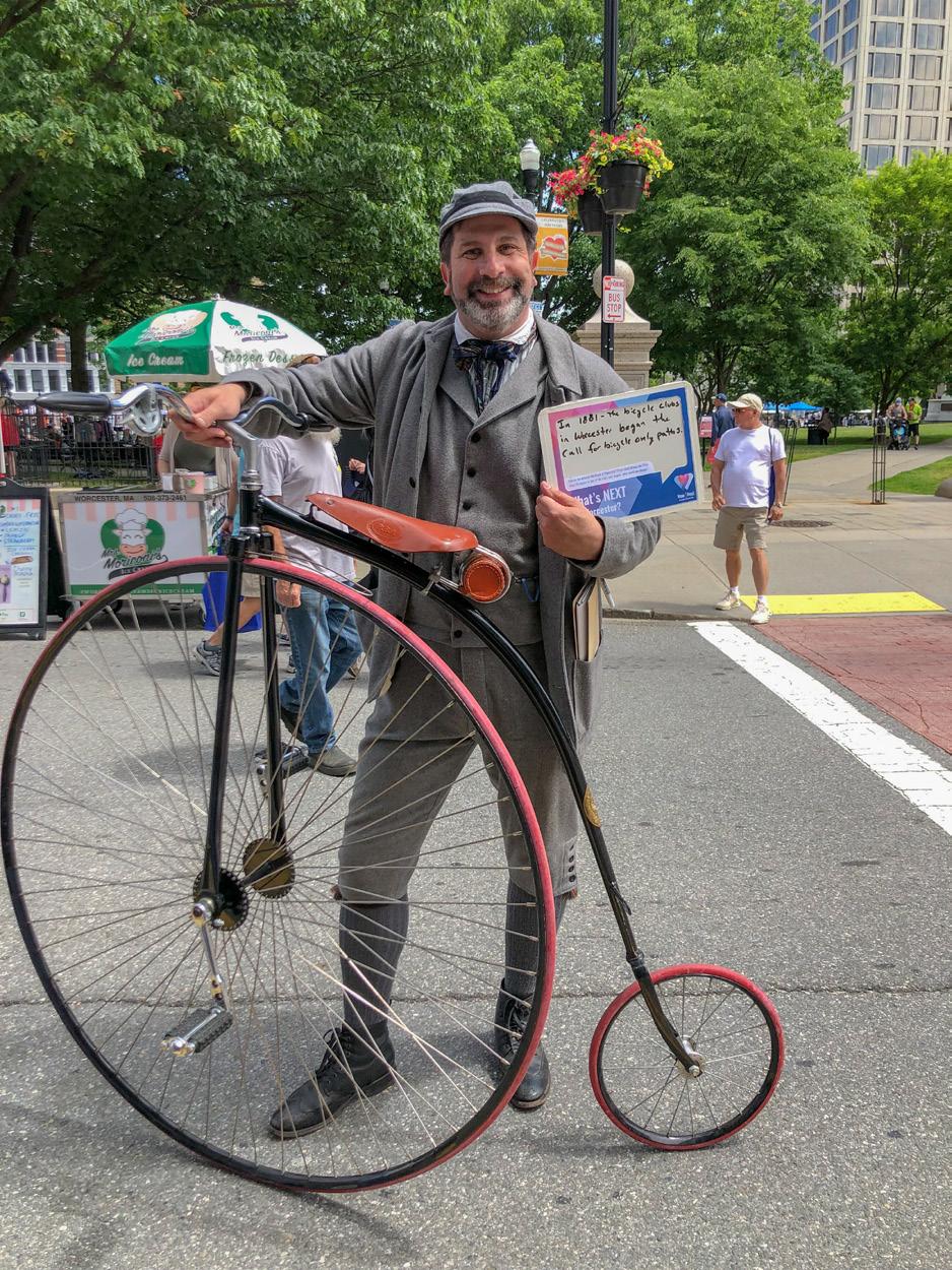
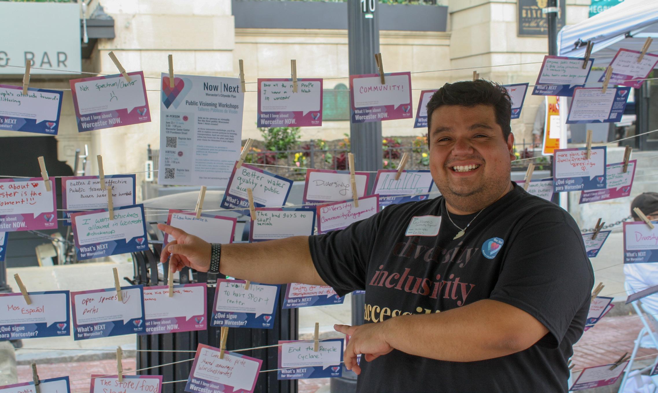
Worcester Now City of Worcester 79
Topic-Specific Policy Guides Foundation
Much like the Now | Next Plan Frameworkthe vision, guiding principles, and topic areas identified in the introduction of this report - the issues, opportunities, and ideas that informed the development of the Now | Next goals were built on the foundation of years of research and reports that helped to frame some of the structural issues, patterns, and trends shaping Worcester’s housing market and economy. Summarized below are three research-based reports which were particularly significant building blocks for the Now | Next plan. As with the plans summarized above, Now | Next will not restate all the methods, process, findings, and recommendations of these reports but acknowledge that they are each very much embedded in the goals and subsequent recommendations identified and affirmed through the Now | Next process.
Static Income, Rising Costs: Renting in the Heart of the Commonwealth (2022)
Researched and released by the Worcester Regional Research Bureau, this report documented that renter-households in Worcester have become increasingly costburdened since 2010; their costs have increased while their wages have remained static in terms of inflation-adjusted dollars. The report examined the state of those households in Worcester, compared Worcester to similar cities throughout the region, and analyzed Worcester’s renter-households across time. In addition to this, the research behind this report resulted in the first publication of the 1936 redlining map of the city, and was able to uncover the relationship of that policy to the ongoing hardships faced by Worcester’s renter-households, especially for those that have lower incomes or are racial and ethnic minorities in the city. The Worcester Now | Next process used this as a foundation to inform the recommendations of the plan as well as the housing element of the plan.
Worcester for Everyone: A Regional Housing & Economic Study Outlining Local Opportunity (2019)
Developed by the Worcester Regional Chamber of Commerce and the Worcester Business Development Corporation, Worcester for Everyone highlighted the risk that “if unaddressed, housing challenges such as undersupply and substandard units could stall Worcester’s economic growth.” Among other things, this report documented that the demand for rental units was outpacinging supply and driving up rents, and that there was a fundamental mismatch between regional housing preferences and the kinds of units available and those under development. The Worcester Now | Next process used this as a foundation to inform the housing element of the plan, and the Worcester for Everyone report will be updated as part of Now | Next’s housing production recommendations.
Regional Labor Market Blueprint for the Central Massachusetts Region (2020)
Developed by the MassHire Department of Career Services in 2018 and updated in 2020, the Blueprint identified the growing industries and occupations to be prioritized by system partners that will assist in the economic growth of the region, developed a set of action steps to address skills gaps within these industries/occupations, and established an aligned programming and service delivery approach to help more residents gain the credentials, education and job skills needed for successful careers within high-demand career pipelines of the priority industries/occupations in the region. The Blueprint provided foundational information that informed the economic opportunity element of Worcester Now | Next.
Worcester Now Worcester Now | Next 80
Credit: Discover Central Mass 81
Photo
Engagement Themes
Independent of the planning processes, research, and reports reviewed by the Planning Team at the outset of the Now | Next process, the themes that emerged through the Now | Next engagement echoed many of the same themes and key issues embedded in recent plans and reports.
A handful of issues and themes continued to appear in engagement throughout the process and contributed to the direction of the goals and recommendations for the plan:
A values-centered framework for growth that benefits all Worcester community members.
We heard that people want equitable, sustainable, and resilient transit-oriented development; more diverse and affordable housing options that meaningfully address the housing crisis; and vibrant mixed-use neighborhood centers and corridors that are walkable and accessible to people of all ages and abilities.
• Support a diversity of housing types, including homeownership.
• Increase affordable and mixed-income housing supply citywide.
• Support a vibrant downtown.
• Support strong, walkable neighborhood centers and corridors.
Equitable and sustained public investment in Worcester’s neighborhoods.
There was widespread recognition that Downtown and the Canal District should continue to be critical areas of focus for planning, investment, programming, and creative development initiatives that support the vitality of the city’s core. However, community input throughout this planning process highlighted strong interest in a renewed focus on Worcester’s diverse neighborhoods through more coordinated land use and infrastructure planning and strategic investment in neighborhoods, corridors, and districts beyond the downtown core that are critical to resident quality of life and small business health.
• Support diversity of local businesses.
• Prioritize parks, playgrounds, and trees.
• Invest in our children and schools.
• Improve the quality of existing housing.
A more connected and accessible city for all.
People made clear that while Worcester is rich in assets, amenities, and community anchors, access to those things is uneven and largely automobile dependent. Worcester’s existing auto-dominant transportation infrastructure and associated investment gaps in other infrastructure, facilities, and services reinforce inequities in access and exacerbate public health and Environmental Justice concerns. Going forward, the people of Worcester want a more connected city where economic opportunities, services, and amenities are accessible to all as a result of coordinated land use and mobility planning.
• Make streets safe for all users.
• Improve the sidewalks.
• Improve existing public transit.
Worcester Now Worcester Now | Next 82
A Call to Action
This process was designed to create a plan with an integrated, cohesive framework to bring Worcester’s physical development including housing, transportation and mobility, and economic opportunity into closer alignment with the community’s stated desires and needs. Over and over throughout the first phase of engagement, we heard from Worcesterites that they wanted this plan to be a catalyst for a shift towards a more resilient, equitable and sustainable development pattern that prioritizes walkable, vibrant neighborhood centers that were well connected to the region and to Worcester’s thriving downtown. This fundamental shift has implications for everything from natural and cultural resources to City services, facilities and infrastructure.
In the next section, Worcester Next, we will lay out the goals, recommendations, and implementation approach required to move the needle in Worcester towards the shared vision articulated in our vision statement:
Vision
“In Worcester’s fourth century, we envision a creative city of neighbors who value inclusion and celebrate diversity. We will uplift our city by investing equitably in our communities, connecting our neighborhoods to opportunity, and prioritizing sustainable growth that supports improved quality of life for all.”
Worcester Now City of Worcester 83
Worcester Next outlines our city’s priority goals across all topic areas, and identifies specific policy actions, growth strategies, and recommendations to advance our community’s vision and guide the future of the city. It builds off robust community engagement and key insights and data points generated during the Worcester Now process. This section provides a roadmap for how to accommodate growth and manage change in a way that reflects our community’s collective values and goals, and it establishes an implementation framework for ongoing and more detailed planning efforts, helping to prioritize and coordinate city actions over the long-term.

In this Chapter: 1. Plan Headlines 70 2. Growth Framework 72 3. Topic Specific Policy Guides 82 4. Implementation 132
Worcester Next
Photo Credit: Erb Photography
84 Worcester Next Worcester Now | Next
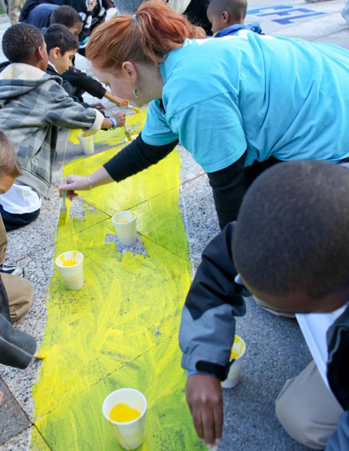
Worcester Next City of Worcester 85
Plan Headlines
These three interconnected plan headlines emerged from the extensive engagement and analysis conducted through this planning process. They cut across multiple topic areas and collectively represent the core of what this plan is about, and what it positions the City to act on in the next few years.
A values-centered framework for growth that benefits all Worcester community members.
Equitable and sustained public investment in Worcester’s neighborhoods.
A
more connected and accessible city for all.
As the plan moves into its implementation phase, it is also critical to emphasize that the ambition and volume of work identified through this community planning process will necessitate a continued community commitment and collaborative implementation. The City will need the continued advocacy, support, and partnership of the community organizations, institutions, business community, and residents that came together to develop the vision, goals, and recommendations of this plan.
A values-centered framework for growth that benefits all Worcester community members.
Worcester is growing and changing at a rapid pace. Worcester Now | Next provides a roadmap for how to accommodate growth and manage change in a way that reflects the community’s collective values and goals. We heard that people want equitable, sustainable, and resilient transit-oriented development; more diverse and affordable housing options that meaningfully address the housing crisis; and vibrant mixeduse neighborhood centers and corridors that are walkable and accessible to people of all ages and abilities. To achieve that and ensure Worcester’s continued growth benefits all Worcesterites for generations to come, we need new zoning, an action plan to address mobility gaps, and assessments of what infrastructure improvements are needed to support that growth.
How we advance this:
• Implement selective, targeted zoning updates on special issues such as (but not limited to) enabling Accessory Dwelling Units (ADUs), reducing parking requirements where
appropriate, and establishing tree protection and planting requirements.
• Initiate a zoning overhaul to align the zoning map with the Growth Framework established through this plan, to address aspects of the current ordinance that perpetuate segregation and inequity or undermine the viability of desired development throughout the city, and to improve the clarity and user-friendliness of the ordinance.
• Complete and implement the Mobility Action Plan (MAP) to identify and prioritize more specific capital, operational, and programmatic projects to advance safe, equitable, and sustainable transportation in Worcester in support of the Growth Framework.
• Complete infrastructure capacity and needs assessments to confirm current capacity of electric, stormwater, and sewer infrastructure and identify the investments needed to support the Growth Framework and Future Land Use Vision developed through this plan.
Worcester Next Worcester Now | Next 86
Equitable and
sustained
investment in Worcester’s neighborhoods.
There was widespread recognition that Downtown and the Canal District should continue to be critical areas of focus for planning, investment, programming, and creative development initiatives that support the vitality of the city’s core. However, community input throughout this planning process highlighted strong interest in a renewed focus on Worcester’s diverse neighborhoods through more coordinated land use and infrastructure planning and strategic investment in neighborhoods, corridors, and districts beyond the downtown core. With the support of community partners, the City is committed to pursuing coordinated, equity-centered local planning, policies, and public investment that will collectively reinforce the vitality of mixed-use neighborhood centers that support resident quality of life and small business health.
How we advance this:
• Neighborhood and corridor planning that integrates land use, transportation, and infrastructure investment strategies to
A more connected and accessible city for all.
Worcester is rich in assets, amenities, and community anchors. However, access to those things is uneven and largely automobile dependent. Worcester’s existing auto-dominant transportation infrastructure and associated investment gaps in other infrastructure, facilities, and services reinforce inequities in access and exacerbate public health and Environmental Justice concerns. This plan marks a turning point to begin creating a more connected city where economic opportunities, services, and amenities are accessible to all through coordinated land use and mobility planning. Specifically, through the subsequent MAP planning process, the City will identify a coordinated, multimodal approach to transportation that prioritizes safety, equity, and sustainability while fostering community development and supporting the densities and land use mix envisioned in the Growth Framework (see next page).
How we advance this:
• Standardize and enforce best management practices in City specifications and regulations that impact the design, operations, and
holistically support neighborhood opportunity and quality of life.
• Rezoning to align regulatory requirements with the vision and recommendations that emerge from neighborhood and corridor planning.
• Prioritizing investment in infrastructure and economic development in neighborhood centers and corridors in alignment with the Growth Framework.
• Continue and expand anti-displacement support for both residential and nonresidential uses.
• Improve and expand resources for code enforcement to proactively address accessibility, health and safety issues in both rental and owner-occupied units in order to improve housing quality without triggering displacement.
• Implement process changes to increase community participation and accountability in development processes through technological and procedural changes that improve transparency and inclusivity.
experience of public streets, sidewalks, and public spaces.
• Implement a coordinated program of projects to improve walkability and accessibility, prioritizing locations such as schools, mixeduse corridors, and community gathering places.
• Work with WRTA to expand and improve reliability, frequency, and coverage of transit service, especially along priority corridors and in underserved areas.
• Work with MBTA to provide frequent, reliable commuter rail service in both directions, including multiple express service trains under one hour in duration between Boston and Worcester during peak periods.
• Develop a comprehensive bicycle and micromobility network connecting all areas of the city.
• Retrofit and reconfigure streets to operate safely and have characteristics appropriate for their urban context.
• Link land use and transportation via zoning and coordinated neighborhood-scale planning efforts.
Worcester Next City of Worcester 87
Growth Framework
Since Worcester’s last citywide plan, completed in 1987, the city has undergone significant shifts in demographics and development. Worcester is poised to continue growing as a residential and economic hub for the central Massachusetts region, and development momentum is already evident by the significant changes coming to downtown and the Canal District.
The magnitude of growth in Worcester is reflected in both population and development.
As mentioned in Worcester Now, Worcester gained over 25,000 people in the last 10 years, an increase of approximately 14%, which is nearly double growth rates of the county and state. As of December 2022, Worcester ranked seventh out of 300 metro areas in terms of “market hotness,” a metric that tracks real estate market demand and inventory, and continues to have exceptionally low vacancy rates.17
Growth of this pace and magnitude is driven by factors beyond Worcester’s control and will therefore, to some extent, continue to occur whether or not Worcester plans for it. For instance, Worcester’s growth will continue to evolve based on its relationship with other major metro areas and its status as a climate refuge city for individuals displaced by climate change and natural disasters.
Without proactive guardrails to shape how future growth occurs, that growth will follow existing regulations and the market, and it might not achieve the goals that residents and community members have expressed through this planning process. It is therefore critical that, through this plan, Worcester articulates how, where, and what kind of development the community wants—and then sets about codifying that vision through regulations, processes, and protocols like zoning.
For many, “growth” is taken to be synonymous with high-impact development that is not sensitive to its context and therefore undermines the qualities community members value about their neighborhoods currently. Many community members also fear that new development, especially higher density development, will negatively impact their property values. However, while the uncertainty of change can cause anxiety, growth can be positive and healthy for a community like Worcester when it is intentional, managed, sustainable, and guided by clearly articulated community values and priorities.
Allowing for growth in ways that are supportive of community goals and values enables a community to continue to evolve to meet shifting needs of the community, and in doing so can reinforce and support existing qualities and enhance property values without triggering displacement. The Growth Framework that follows is intended to do just this—establish a framework to intentionally manage growth that respects and reinforces existing positive qualities and is aligned with the vision shared through nearly two years of in-depth community input.
17. Source: https://www.realtor.com/research/reports/hottest-markets/
Worcester Next Worcester Now | Next 88
How MUCH growth do we need to plan for?
To plan responsibly for population and job growth, we need a sense of how many new jobs and residents Worcester could see in the next 15 to 20 years. Because of the inherent uncertainty in forecasts, it is best to plan based on a range of potential outcomes.
Population Growth Envelope
We estimated a low or “base” scenario growth projection based on the UMass Donahue Institute population forecast. We then developed a high growth scenario based on the extrapolation of the growth rate recorded in the U.S. Decennial Census from 2010 to 2020. Together, these two projections provide an upper and lower bound for the amount of population growth Worcester can expect over the next two decades.
Job Growth Envelope
We estimated a low or “base” scenario growth projection based on the extrapolation of the growth rate recorded by the Massachusetts Department of Economic Research (DER) from 2010 to 2020. We then used the Massachusetts DER Workforce Development Areas projection for 2020-2030 as the basis for a high growth scenario. Together, these two projections provide an upper and lower bound for the amount of job growth Worcester can expect over the next two decades.
High Growth Scenario Space Needs
We also need to understand what this population and job growth means in terms of new physical space needed. New residents and jobs mean new homes, offices, and retail spaces. To translate job and population projections into space needs, we can use a set of assumptions like household size, number of units needed per each new resident, job mix, and square footage needed per new employee in each job type. Once we have translated the high end of job and population growth into the associated space needs, we can use architectural and development norms to test how Worcester can accommodate the high end of growth realistically and responsibly.
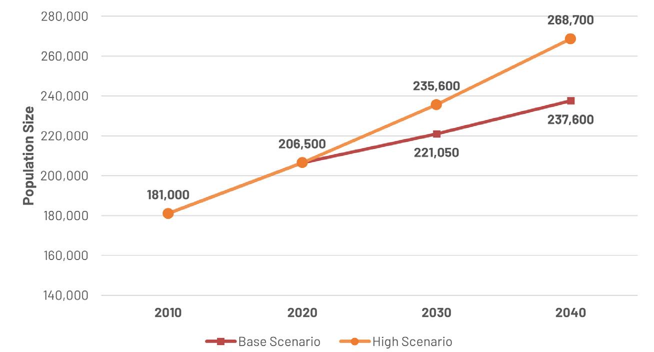
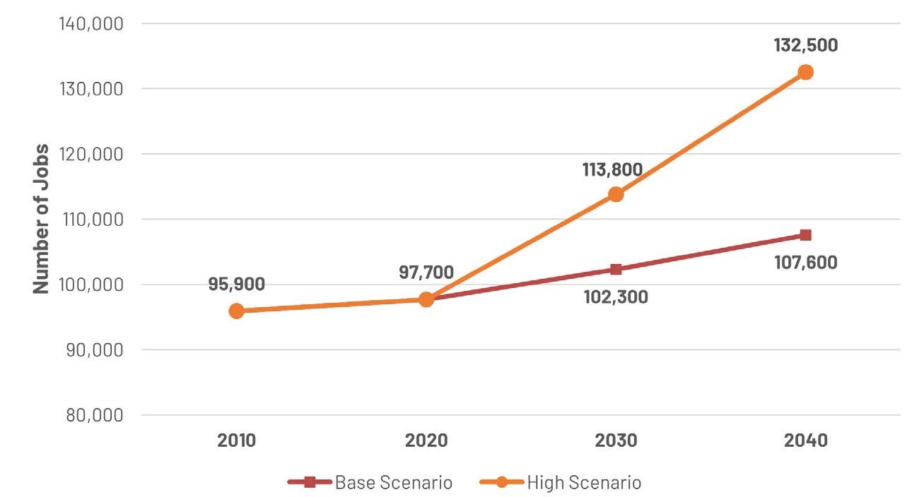
Sq. Footage: Office
Footage: Retail
Footage: Industry/Flex
Sq. Footage: Healthcare
Growth Type 2030 2040 People +29,100 +62,200 Multi-family Units +7,100 – 9,400 +15,100 – 20,100 Jobs + 16,100 + 34,800
+ 861,000 sq. ft. + 1,900,000 sq. ft. Sq
+567,000 sq. ft. +1,200,000 sq. ft.
+1,900,000 sq. ft. + 4,200,000 sq. ft.
Sq.
+644,000 sq. ft. +1,400,000 sq. ft. Worcester Next City of Worcester 89
WHERE do we accommodate this growth?
As we consider how to accommodate the growth Worcester is likely to see over the next 20 years, a place-based framework for channeling new development is critical. We can think of new areas for growth in terms of the degree of change that should be encouraged in that area.
Baseline Citywide Growth
As a foundation for the focused growth envisioned in the three Growth Area types described below (Managed, Infill, and Transformative Growth Areas), it is critical that Worcester’s zoning and development processes allow for incremental growth everywhere in the city as a baseline. The current zoning needs to be updated to allow for reasonable “gentle infill” development that is in line with the historic development pattern (in lieu of the more recent restrictive suburban-style zoning parameters in place now).
Managed Growth Areas
Areas within a ¼ mile walk of existing and potential future transit corridors that can support moderate increases in housing density from what is currently allowed by zoning. These areas can also allow for limited ground floor retail at appropriate intersections and along neighborhood corridors to provide amenities that enhance resident quality of life. Zoning with form-based elements can help ensure that development is compatible with and appropriately scaled for Managed Growth Area neighborhoods.
Infill Growth Areas
Existing areas with high walkability and transit access that have been identified for additional mixed-use development on vacant or underutilized properties (e.g., single-story buildings, surface parking lots, etc.). The existing
mixed-use character of these areas means that they are well suited to provide additional density – including medium to high density housing with complementary commercial uses that reinforce and support the existing development pattern. These areas would generally benefit from improved infrastructure for people walking, biking, and using micro-mobility devices to improve convenience, safety, and comfort of all users.
Transformative Growth Areas
Areas identified for significant reinvestment and physical transformation through focused City and private stakeholder actions. These areas generally have unmet potential for high walkability and transit access and can support substantial job growth and/or higher density housing with complementary commercial uses. These areas should be prioritized for:
• District-scale planning to define more detailed goals and community needs in each area. This focused planning will be addressed in a preliminary way as part of the zoning overhaul process to ensure a strong foundation for land use regulations, but can be extended subsequently through area planning initiatives that address capital investment and programmatic or operational needs.
• Focused investments in pedestrian safety and comfort, accessibility, multimodal transportation infrastructure, and improved transit service as identified in the MAP.
• Coordinated capital investments in infrastructure, services, and facilities, including necessary proactive private utility provider investments (e.g. National Grid/Eversource).
In general, Transformative Growth Areas should be considered first for a more form-based zoning approach. These are areas where a strong urban design vision that is aligned with anticipated infrastructure investments and is combined with relatively flexible and permissive land use parameters would be supportive of the kind of thriving mixed-use hubs envisioned through Worcester Now | Next.
Worcester Next Worcester Now | Next 90
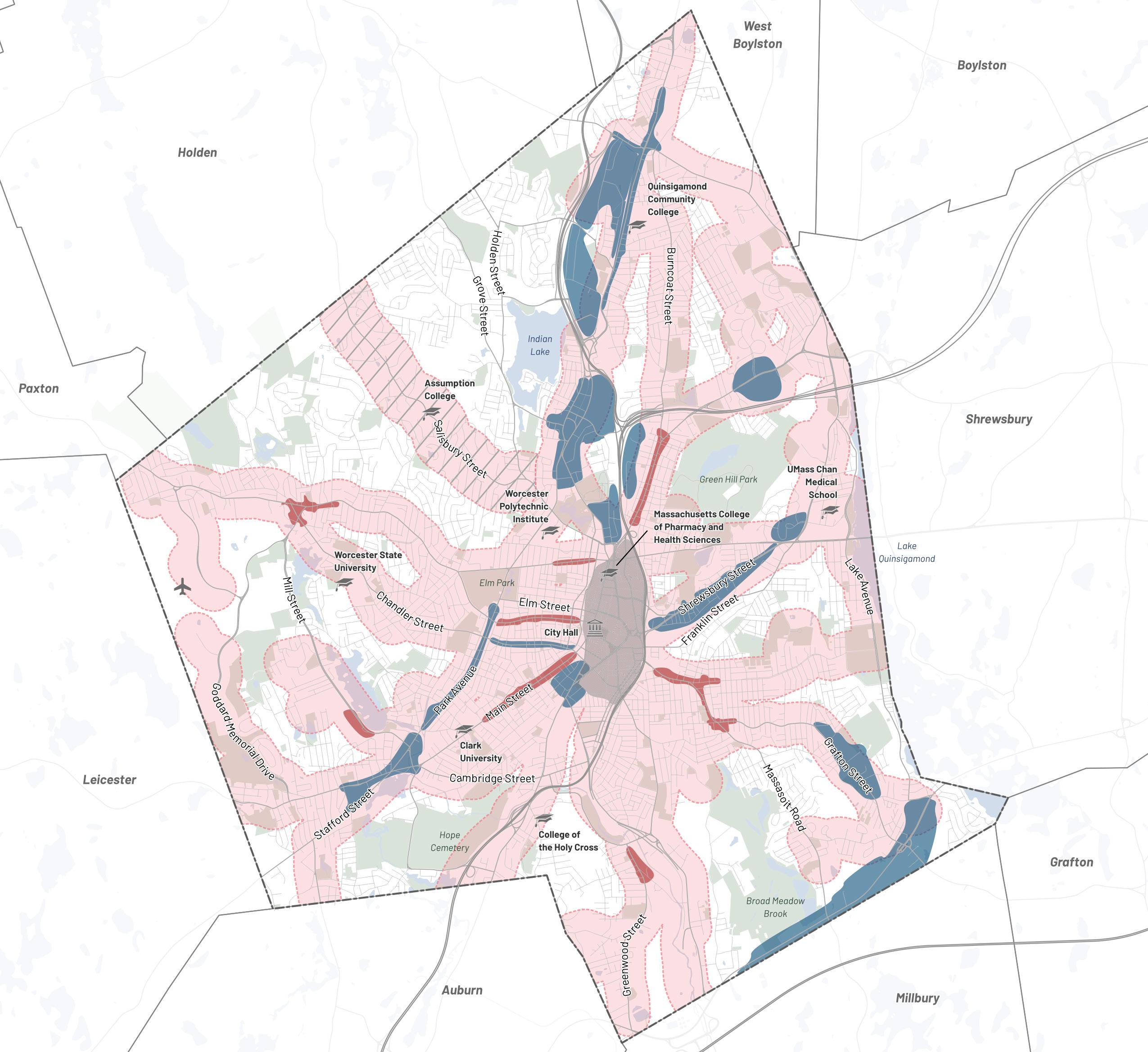
W Boylston St Corridor
Higgins Industrial Park
Rockdale St District
Greendale Revitalization Initiative
Lincoln Plaza
W Boylston - South
Gold Star Blvd Corridor
Crescent St Industrial Area
WPI Area
Reactory BioManufacturing Park
Shrewsbury St Corridor
Park Ave Corridor
Chandler St Commercial Corridor
Beacon/Brightly District
Greater Webster Sq
Grafton St East
Rt 20 Corridor
Tatnuck Square
Lower Lincoln St Corridor
Highland St Corridor
Pleasant St Commercial Corridor
Mill St Commercial Corridor
Main St Corridor
Grafton St Corridor
Quinsigamond Village

/Canal District Transformative Growth Area
Growth Area Managed Growth Area—Existing Transit Corridor Managed Growth Area—Potential Future Transit Corridor
Downtown
Infill
T1 T2 T3 T4 T5 T6 T7 T8 T9 T10 T11 T12 T13 T14 T15 T16 T17
Infill Growth Areas Transformative Growth Areas Worcester Next City of Worcester 91
WHAT land uses go where? (Future Land Use Vision)
Not all development is the same. Some uses are compatible and complementary with one another (like housing and many retail uses) and others need more distance and buffering from one another (like housing and higher impact industrial uses). By articulating what use mix each Infill and Transformative Growth Area is best suited to, Worcester can help steer development to create mutually beneficial mixes and reinforce protections and separation where it is needed.
Furthermore, right now the zoning in Worcester’s existing and potential job centers does not reflect the dimensional and use needs of the modern economy, especially in industrial areas. This is a barrier for existing and potential employers.
This plan therefore recommends that zoning in Growth Areas be updated to allow and encourage the land uses and job types that match best with the unique qualities they each have to offer.
This Future Land Use Vision can serve as a guide to what land use mix is the best fit for each of the identified Infill and Transformative Growth Areas. It is important to emphasize that this vision is intended to guide (not prescribe) use mix within Growth Areas. Future area plans and rezoning work should allow for land use flexibility while keeping this vision in mind. Likewise, areas beyond the Growth Areas that are the focus of this vision should allow for these use categories where appropriate.
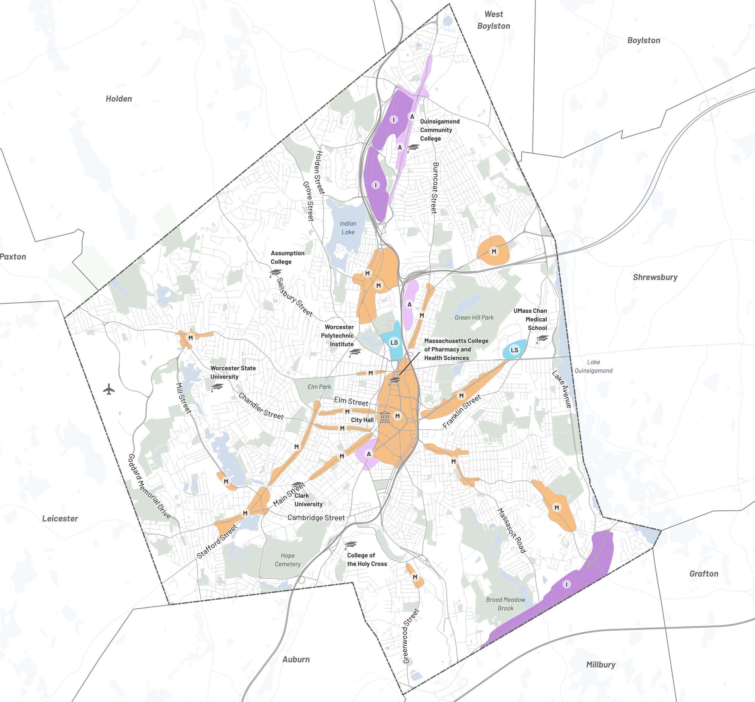
Mixed Use Life Science Artisan Industrial Worcester Next Worcester Now | Next 92
What different land uses mean for jobs
Mixed-Use
Typically anchored by active commercial ground floors with a mix of residential and office upper floors.
Life Science
Typically anchored by healthcare providers and scientific research and development lab uses.
Artisan
Typically anchored by small, low-impact creative producers (e.g. fashion, furniture, food and beverage).
Industrial
Typically anchored by by larger producers and distributors that are dependent on larger trucks, highways, and rail.
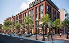
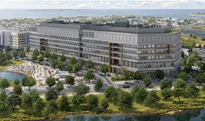
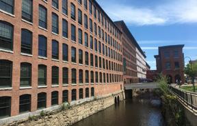
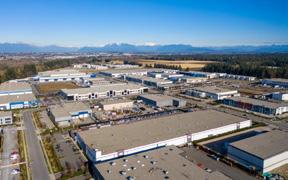
All future land use categories allow for mixed use, but with different anchor uses and complementary uses. These categories generally describe a use mix anchored by the use highlighted in the category name and supported by a complementary mix of uses. In many cases, there is a strong existing use mix that differs from the identified land use vision—this vision is inclusive of those existing uses and envisions how that use mix can evolve over time to better take advantage of the unique patterns, adjacencies, and potential of each Growth Area.
Mixed Use: Typically anchored by active commercial ground floors (e.g., retail, entertainment, and services like banking, barbers, or dry cleaning), with complementary residential and office upper floors.
• Downtown / Canal District
• W Boylston - South
• Lower Lincoln St Corridor
• Shrewsbury St Corridor
• Chandler St Commercial Corridor
• Park Ave Corridor
• Greater Webster Sq
• Lincoln Plaza
• Tatnuck Sq
• Highland St Corridor
• Pleasant St Commercial Corridor
• Grafton St Corridor
• Main St Corridor
• Gold Star Blvd Corridor
• Quinsigamond Village
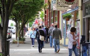
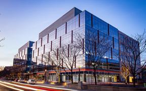
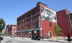
• Grafton St East
• Mill St Commercial Corridor
Life Science: Typically anchored by healthcare providers, scientific research, and development lab uses, with complementary retail, commercial, hotels, educational institutions, and limited residential.
• WPI Area
• Reactory BioManufacturing Park
• Note: the Canal District has some opportunity for life science, but is predominantly mixed use.
Artisan: Typically anchored by small, low-impact creative producers (e.g. fashion, furniture, food and beverage), with complementary retail, commercial, hotels, and limited residential.
• W Boylston St Corridor
• Rockdale St District
• Crescent St Industrial Area
• Beacon/Brightly District
Industrial: Typically anchored by larger producers and distributors that are dependent on larger trucks, highways, and rail, with complementary limited retail and commercial serving area businesses and employees.
• Higgins Industrial Park
• Greendale Revitalization Initiative
• Rt 20 Corridor
The mark indicates that this job type is common in districts with this land use category. The mark indicates that this job type is occasionally present but not common and may only be permitted under certain conditions in this land use category. The mark indicates that a particular job type is rarely present and may be prohibited in this land use category.
Lab Jobs Office Jobs Production Jobs Distribution Jobs Retail & Service Jobs
Worcester Next City of Worcester 93
HOW can Worcester manage growth and change development norms?
The City can regulate land use and the physical form of development through the zoning code and encourage certain types of development in specific areas through the use of development incentives such as density bonuses and other tools to manage expectations and set norms for development processes in the City of Worcester. These goals and recommendations collectively describe how the City of Worcester will partner to set new norms for development in the city that better support and align with the vision laid out in this Plan.
What is Transit-Oriented Development?
Walkable, mixed-use communities that reduce dependence on personal vehicles and support strong transit ridership
Distance
Housing and jobs located close to transit stops (usually within ¼ mile from bus stops or ½ mile from train stations)
Diversity
A mix of housing types and land uses
Density
Job and housing density high enough to support strong transit ridership
Design
A safe, accessible, comfortable, and attractive public realm that encourages people to walk
Destination Accessibility
Ease of access, including wayfinding
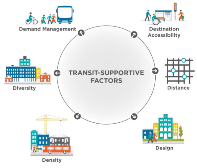
What is Equitable Transit-Oriented Development (eTOD)?
• Avoiding displacement of existing residents
• New housing and supportive mix of land uses
• Job opportunities and support of local businesses
• Reduction in car travel
• Support alternative forms of transit such as walking, biking, and public transportation
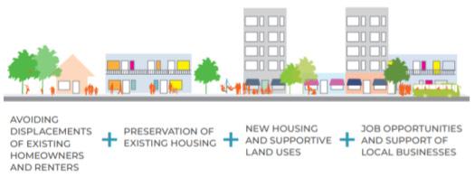
Development Norms
Graphic Source: Nelson\Nygaard
Worcester Next Worcester Now | Next 94
Graphic Source: Equitable Transit-Oriented Development Guidebook, City of Raleigh, NC (HR&A + WSP)
Goal 1
Lay the foundation to achieve equitable transit-oriented development.
Design and implement the project partnerships, policies, and incentives required to achieve equitable transit-oriented development (eTOD) at all scales in Worcester.
1.1: Mitigate Displacement
In identified Growth Areas, introduce policies and programs to prevent residential and commercial displacement as a result of new investment and development.
1.2: New Affordable Housing
Catalyze production of new affordable and mixed-income housing in identified Growth Areas through land trusts, public-private partnerships, and policy requirements and incentives.
1.3: Equity & Accessibility
Support fair housing principles in existing policies and regulations.
1.4: eTOD Zoning
Create a neighborhood center eTOD overlay zoning district to encourage walkable, active mixed-use gathering places that are accessible by transit, walking, and cycling.
1.5: Transportation Demand Management
Incorporate Transportation Demand Management (TDM) and curbside management planning requirements into the development approval process for largescale developments.
1.6: Mobility Investment Plans
Develop transportation and mobility capital investment and operational priorities for existing neighborhood centers and Growth Areas.
Goal 2
Incentivize sustainable development that is resilient to the effects of climate change.
Update the City zoning code and development policies to incentivize development that meets the highest standards for climate resilience and sustainability, including issues of stormwater management and water quality, energy efficiency, flooding, and heat waves.
2.1: Implement Green Worcester
Implement the Green Worcester Plan recommendations for achieving sustainable and resilient development with a focus on the benchmark climate goals for 2030, 2035, and 2045.
2.2: Energy Efficiency
Update relevant codes and policies to incentivize development that meets net zero emissions standards for energy efficiency (e.g. Worcester opted in to the new Specialized “Net Zero” Stretch Code 7/1/2024).
2.3: Stormwater Management & Water Quality
Update relevant codes to provide consistent, modern requirements for stormwater management that consider climate change impacts and incentivize development to meet the highest standards for stormwater management and water quality, particularly in areas with combined sewer systems.
2.4: Flooding & Heat Waves
Update relevant codes and policies to incentivize development that meets the highest standards for resilience to flooding and heat waves.
2.5: Leverage City Funding
Prioritize projects that meet higher resilience and sustainability standards if applying for City funding or tax incentives.
2.6: Incentivize Retrofits
Incentivize decarbonization, deep energy retrofits and resilience retrofits of existing buildings through new and existing programs.
Development Norrms
Worcester Next City of Worcester 95
Goal 3
Update Worcester’s base zoning to encourage development that aligns with the Growth Framework.
Initiate a citywide process to reform the land use, dimensional, and density requirements of Worcester’s existing base zoning to align with the Growth Framework and meet modern standards for accessible and userfriendly zoning.
3.1: Land Use & Density
Update allowed land uses and densities to align with the Growth Framework and future land use vision.
3.2: Dimensional Requirements
Update the dimensional requirements of all Growth Areas (e.g. height, setbacks, lot coverage, parking) to allow the relevant building typologies to meet housing and economic opportunity goals.
3.3: Accessory Dwelling Units
Continue to support, monitor, and improve upon the accessory dwelling unit (ADU) zoning amendment adopted on 1/9/2024, which enables ADUs to be built by-right in all residential areas of the city. This amendment should be monitored to assess whether the owner occupancy restriction can be lifted and if any revisions to the dimensional controls should be made.
3.4: Design Guidance
Develop graphically clear form-based components to the code and/or design guidelines to improve ease of access and use, minimize the need for special use permits, and encourage context-sensitive design (e.g. building with topography through terracing and site-responsive design).
Goal 4
Pursue neighborhood and district plans, prioritizing according to the Growth Framework.
Initiate district and neighborhood planning processes to develop more detailed and customized local recommendations to improve quality of life and address equity issues, prioritizing according to the Growth Framework, Environmental Justice, history of redlining and urban renewal, and environmental sensitivity. These local plans should address mobility and land use planning, and they should use innovative engagement strategies to involve all community members in making decisions for their neighborhoods, especially those that have not been included in past processes.
4.1: Transformative Growth Areas
Fund and initiate district and neighborhood planning processes in Transformative Growth Areas, prioritizing areas with the most urgent equity concerns.
4.2: Infill Growth Areas
Following the completion of plans for Transformative Growth Areas, fund and initiate district and neighborhood planning processes in Infill Growth Areas, prioritizing areas with the most urgent equity concerns.
Development Norms
Worcester Next Worcester Now | Next 96
Goal 5
Cultivate a balanced and accountable community of real estate developers, landlords, and investors.
Develop processes, standards, and incentives that orient all real estate developers and investors to community priorities, create accountability, and support developers that demonstrate a commitment to having a positive local impact.
5.1: Orientation
Develop materials and processes to orient all real estate developers and investors to community priorities, incentives, and benefits.
5.2: Accountability
Require and promote participation in rental registry and membership in the Mass Landlords trade association (or other similar forums) to increase accountability.
5.3: Enforcement
Bolster enforcement to address when developers do not abide by community agreements (e.g. meeting conditions of Board approvals, building in substantial accordance with approved plans).
5.4: Local Capacity Building
Build capacity of local residents, emerging developers, and organizations to participate in real estate development.
5.5: Permitting Process
Improve public participation in and understanding of the permitting process by using technology to increase ease of access to information.
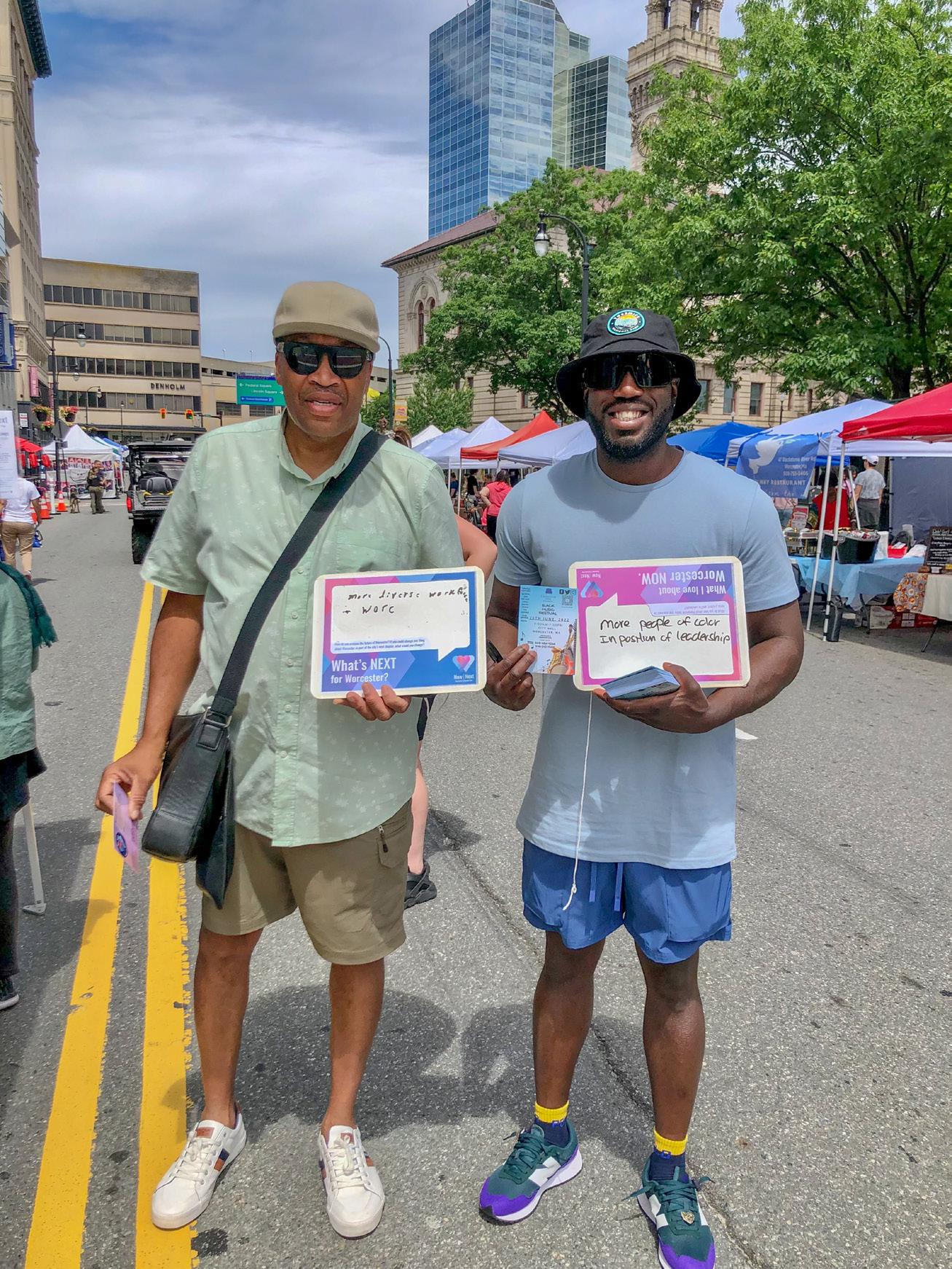
Development Norrms
Worcester Next City of Worcester 97
98 Worcester Next Worcester Now | Next
Topic-Specific Policy Guides
Worcester Next City of Worcester 99
Housing
Issues & Opportunities
Worcester is seeing growing demand for housing as the city’s base of amenities grows, the Central Massachusetts regional economy grows, and both long-time residents and newly arrived immigrant workers continue to be priced out of the Boston metro region. However, the production of new housing and reinvestment in existing housing in Worcester have lagged behind Worcester’s changing population.
The housing needs of Worcester can be seen through the lens of three top issues:
| Deferred maintenance and substandard | housing within the existing housing stock
| Increasing need for protected affordable | housing and more diverse housing types
| Insufficient housing supply and mis-match | of new housing supply versus demand
Deferred Maintenance & Substandard Housing
An aging housing stock and years of deferred maintenance have contributed to high rates of substandard housing in Worcester, especially in and around downtown.18 For example, the share of housing units without adequate kitchens
is nearly five times higher in Worcester than Massachusetts overall.
Even in units with adequate plumbing and kitchens, the housing stock’s age increases cost burdens on tenants, owners, and landlords. More than 40% of Worcester’s occupied housing stock was built before 1939. Less than 10% of occupied units in Worcester were constructed after 2000. Worcester’s housing stock is substantially older, on average, than the state’s housing stock overall. Older buildings tend to have poorer insulation than new construction, resulting in higher utility bills and maintenance costs for tenants and owners. Older buildings are also less likely to meet modern standards for safety and accessibility when compared to newer structures. For instance, lead paint and mold contribute to high asthma rates and are more likely to be present in older buildings.
18. Source: Worcester for Everyone, pg. 18
19. Kitchens and plumbing facilities are considered complete if a dwelling unit contains all of the following: hot and cold running water, a bathtub or shower, a sink with a faucet, a stove or range, and a refrigerator. Read more about this Census question at https://www.census.gov/acs/www/about/why-we-ask-each-question/plumbing/
Housing Worcester Massachusetts Percent of Occupied Housing Stock Without Complete Plumbing 0.3% 0.3% 1.1% 0.2% Without Complete Plumbing 0.0% 0.2% 0.4% 0.6% 0.8% 1.0% 1.2% Worcester Massachusetts Percent of Occupied Housing Stock Years Built 42% 32% 19% 16% 16% 5% 0.8% 1% 17% 22% 19% 7% 1.7% 2% 1939 or Earlier 0% 20% 15% 10% 5% 25% 30% 35% 40% 45% 1940 – 1959 1960 – 1979 1980 – 1999 2000 – 2009 2010 – 2013 2014 or Later
% of Occupied Units with Adequate Kitchens and Plumbing (2020), Source: ACS 2020 5-Year19
Age of Worcester’s Housing Stock (2020), Source: ACS 2020 5-Year Estimates
Worcester Next Worcester Now | Next 100
Ongoing Deferred Maintenance Efforts
The Worcester Housing Now Initiative is a program focused upon the neighborhood multifamily housing stock primarily consisting of triple deckers. With the majority of these properties over 100 years old, significant deferred maintenance exists in many of them. This program aims to help owner occupied multifamily owners as well as responsible landlords gain access to technical and financial resources to address deferred maintenance issues many of which include sanitary, building and fire code violations.
The Worcester Lead Abatement Program (WLAP) is a federally funded grant program that is designed to assist property owners with the cost of lead paint abatement in eligible properties.
The CDBG Elder Home Repair Program provides up to $25,000/unit to rehabilitate major systems (e.g., mechanical systems, heating, roof, siding, windows) of the home and ensure code compliance
The CDBG Worcester Housing Now Owner-Occupied Rehab program provides up to $25,000/unit to rehabilitate major systems (e.g., mechanical systems, heating, roof, siding, windows) of the home and ensure code compliance
ARPA Owner Occupied Rehab program provides $30,000/unit to address code violation(s)
The ARPA Lead Abatement program provides $15,000/unit for lead abatement in 1–4-unit owner-occupied properties
The Worcester Lead Abatement Program Owner Occupied (WLAP) provides $15,000/unit for lead abatement for properties built before 1978 and with a child under 6 living in the property
What do you appreciate about the housing that exists in Worcester now?
“Medium density is awesome for young families”
In-person Workshop 1
“Love the sense of community triple deckers have”
In-person Workshop 1
“Options for both apartment complexes and single/duplex/triplex housing”
In-person Workshop 1
What types of changes would make Worcester’s existing housing work better for residents?
“Programs for current homeowners to know how to pay for updating their home to make it safe and energy efficient”
In-person Workshop 1
“Pedestrian friendly spaces in neighborhoods”
In-person Workshop 1
“We need deeper rehab for old housing stock. Better code enforcement for problem properties, and better education for landlords”
In-person Workshop 1
“If I need to move, I am confident I can find quality housing in the city that fits my household’s needs and budget.”
20% Agree, 58% Disagree, 20% Pass (n=449)
Polis Survey
Worcester Next City of Worcester 101
Insufficient Housing Supply and Mis-match of New Housing Supply Versus Demand
As documented in Worcester for Everyone, there is a disconnect between community preferences and the type of housing being built by marketrate developers in Worcester, both in terms of type and volume. This is particularly evident in the rental market where demand for rental housing outstrips supply, as shown by the chart below. The market is producing housing that caters to high spenders with high-end finishes and amenities, but it is not producing enough “no-frills” housing that has basic finishes, essential amenities, and a lower price. Commuters and lower income households want and need more “no-frills” housing in walkable mixed-use neighborhoods.This may be in part due to regulatory barriers to building multifamily housing as well as other compounding factors, some of which are outside of local control such as the cost of construction.
As illustrated by the chart below, Worcester has seen a consistent increase in asking rent per square foot since 2000. However, since the pandemic began in 2020, Worcester’s asking rent per square foot has increased by 6%.20 This can be attributed to many factors, including pandemic-induced shifts in the regional housing market, but an important contributing factor is the insufficient supply of welllocated “no-frills” rental housing to meet growing demand, resulting in an escalation of pricing for the units that do exist.
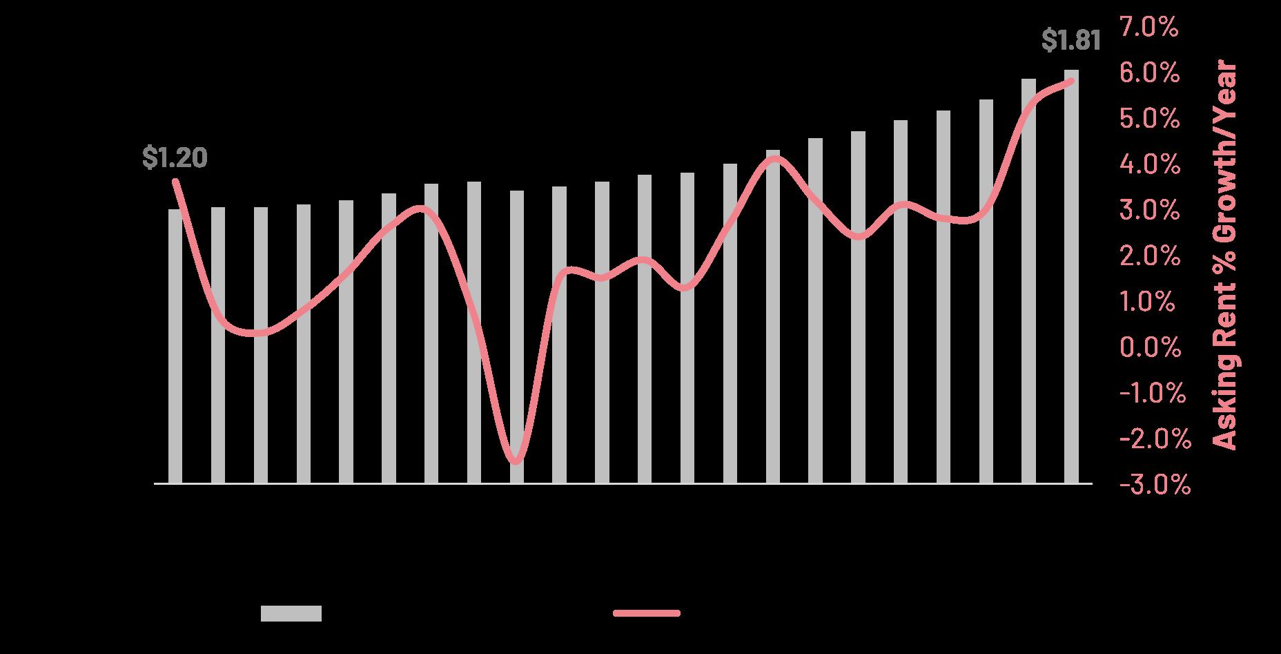
Housing 3,655 650 3,655 0 500 1,000 1,500 Demand Supply 2,000 2,500 3,000 3,500 4,000 4,500 Rental Homes Unmet Demand
Supply of Rental Homes Compared to Market Demand (2010 – 2017)
Source: Worcester for Everyone (2019), authored by Smart Growth Economics, commissioned by Worcester Regional Chamber of Commerce. Asking Rent per Sq Ft Change, Source: CoStar
Great Recession 20. Cost burdened
30% of household income on rent and other housing costs Worcester Next Worcester Now | Next 102
households spend more than
What We Heard
Walkable, amenity-rich, mixed-use neighborhoods are in high demand. Respondents most preferred amenities were open space, proximity to grocery stores, safety, good schools, a variety of restaurants, and access to a welcoming, attractive downtown with cultural events/experiences like music or cultural festivals, public concerts, indoor public markets, and food trucks.
Renters and buyers want no-frills housing that is attainably priced. Many respondents from all demographic groups and life stages preferred lower prices over higher-end finishes and amenities such as gyms and balconies. Employees also expressed interest in employer-assisted housing programs.
Commuters can be enticed to move to Worcester.
29% of respondents said yes when asked if they would consider moving to Worcester. 31% of respondents said maybe. Compared to current Worcester residents, commuters are at a different life-stage: mostly married, with kids, earning more, and wanting higher-end homes.
What changes do you want to see in future new housing developments in Worcester?
“Less triple decker and more townhome or condo style”
In-person Workshop 1
“Co-housing options, shared outdoor space among multiple units lower/no parking requirements”
In-person Workshop 1
“Housing that provides a viable opportunity for students to put down roots after graduation and contribute to the city”
What aspects of recently developed housing in Worcester do you like or appreciate?
“Attracting more people to Worcester”
In-person Workshop 1
In-person Workshop 1
“New development in Main Southboth factory conversion and townhouses”
In-person Workshop 1
“Proximity to downtown”
In-person Workshop 1
“Remodeling/re-use of old buildings into apartments”
In-person Workshop 1
I like the idea of adding more multi-family housing near public transit and job centers.
72% Agree, 8% Disagree, 19% Pass (n=502)
Housing
Polis Survey
From the Worcester Now | Next Engagement Process:
From the 2019 Worcester for Everyone Process:
From the Worcester Now | Next Engagement Process: 2019 Worcester for Everyone Housing and Community Preference Survey Results
Worcester Next City of Worcester 103
Continued Need for Protected Affordable Housing & More Diverse Housing Types
As demand for housing and population in the Worcester metro area grows, there is an increasing need to preserve and expand the supply of affordable rental and owner-occupied units throughout the region. 54% of households in Worcester are considered cost burdened, meaning they spend more than 30% of their income on rent, mortgage and other housing needs.21
Addressing housing affordability is particularly important for the 38,000 Worcesterites living below the federal poverty line, families with children, and older adults with fixed incomes.22 While 13% of Worcester’s existing housing stock is subsidized, these units are not necessarily located in opportunity-rich, walkable, or transit-served locations. While Worcester is already supplying more subsidized housing than
any of the surrounding communities, it is still insufficient to meet the demonstrated need.
Housing unaffordability is also exacerbating racial inequality in Worcester. 53% of households headed by a white individual own their homes in Worcester compared to just 23% of households headed by a BIPOC individual. Prices for singlefamily homes in Worcester have increased by 52% since 2010, with particularly fast acceleration since 2019. While homeowners may reap the benefits of increasing home values, rising rents mean that the city’s renters are being increasingly priced out of a path to homeownership.
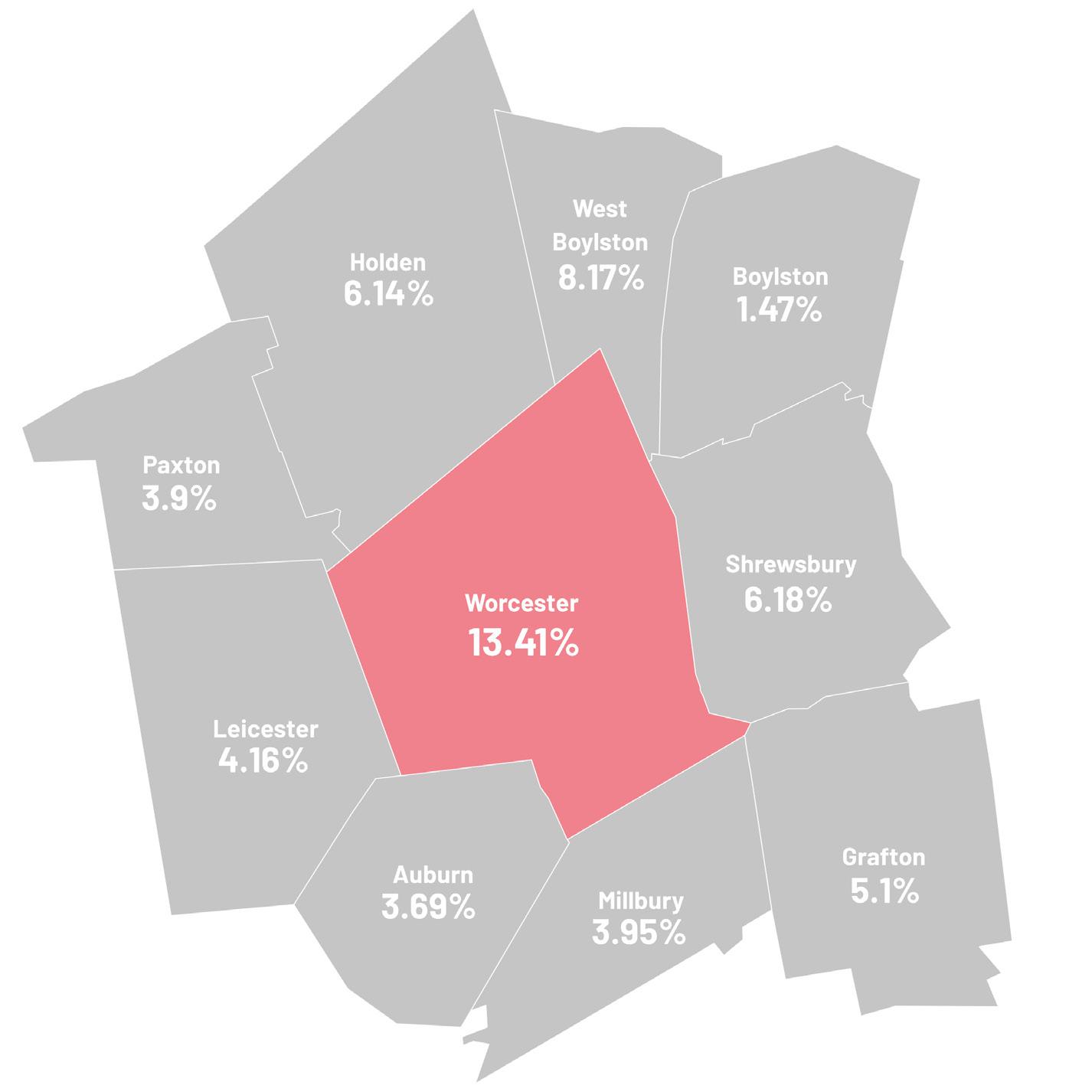
Percent of housing that is subsidized in Worcester and surrounding communities. 2023.
Source: Executive Office of Housing and Livable Communities; Chapter 40B Subsidized Housing Inventory (SHI); as of June 29, 2023
21. Source: Greater Worcester Community Health Assessment (2018), pg. 51
Family Home Values Index.
Source: Zillow-ZHVI Single-Family Homes Time Series
Owners by Race: Social Explorer Tables: ACS 2020 (5-Year Estimates) (SE), ACS 2020 (5-Year Estimates), Social Explorer; U.S. Census Bureau
22. Worcester for Everyone (2019), authored by Smart Growth Economics, commissioned by Worcester Regional Chamber of Commerce, page 2
Housing 0% Single Family Home Value Percent Change Worcester,
Massachusetts,
10% -10% -10% 2010 ‘11 ‘12 ‘13 ‘14 ‘15 ‘16 ‘17 ‘18 ‘19 2020 ‘21 20% 30% 40% 50% 60% White Alone, Not Hispanic or Latino 52% 23% Non-White Worcester Shrewsbury 12.14% 6.00% Boylston 5.15% Holden 5.53% West Boylston 5.15% Leicester 4.06% Auburn 5.24% Millbury 3.72% Paxton 4.23% Grafton 5.53%
52%
60%
Worcester Next Worcester Now | Next 104
Ongoing Efforts
Homeowner & Homebuyer Programs
• ARPA Flood Insurance Assistance
• Reimburses 50% of annual flood insurance policy premium for an owner-occupied property
• CDBG Down Payment Assistance
• Provides first-time income-qualified homebuyers with up to $5,000 in down payment and closing cost assistance
• ARPA Down Payment Assistance
• Provides first-time income-qualified homebuyers with up to $25,000 in down payment and closing cost assistance
Developer & Investor Programs
• CDBG Worcester Housing Now Investor-Owned Rehab
• Provides up to 50% of the total cost of the project or, up to $50,000.00 per each restricted affordable housing unit; whichever is less
• 1st Time Homeownership Development
• Supports owner-occupied ownership opportunities in the City of Worcester’s 16 census tracts that have less than a 30% homeownership rate for households earning up to 80% of AMI; provides up to $100,000 per unit developed for eligible 1st time homebuyer, or up to 25% of total development cost, whichever is less
• Affordable Housing Trust Fund
• Current ARPA Funds - Provides up to $150,000 per affordable housing unit developed, or up to 25% of total development cost, whichever is less; bonus funding available for deeper affodability and accessible units exceeding 10% of units
• HOME Investment Partnerships Program (HOME)
• HOME funds a wide range of activities including building, buying, and rehabilitating affordable housing for rent and providing direct rental assistance to low-income households through the Tenant Based Rental Assistance Program (TBRA)
• ARPA Affordable Housing Preservation Program
• Provides grants of $15,000 per unit in exchange for a 15-year deed restriction for up to six (6) units per property owner to preserve affordability of quality rental housing units
What types of housing are meeting the need for affordable housing in Worcester now?
“Triple deckers of questionable quality”
In-person Workshop 1
“Land trusts that keep housing affordable permanently”
In-person Workshop 1
“Triple deckers/single families/ duplexes owned by an individual”
In-person Workshop 1
Other Programs/Initiatives
• Rental Assistance
• The City committed an additional $1M of ARPA funding for Rental Assistance and is partnering with the Central MA Housing Alliance to implement the program to cover rent arrearages and household utility arrearages including heating, hot water and electricity for up to 3 months of obligations. Eligible tenants are qualified based on ARPA income guidelines, and the maximum amount of rental assistance per applicant is $7,000.
• Utility Assistance
• The City committed $1M in ARPA funds for utility assistance, which is being administered by the Worcester Community Action Council to provide fuel and utility assistance for low- and moderate-income households.
• Emergency Solutions Grants (ESG)
• The ESG program provides funding to: (1) engage homeless individuals and families living on the street; (2) improve the number and quality of emergency shelters for homeless individuals and families; (3) help operate these shelters; (4) provide essential services to shelter residents, (5) rapidly re-house homeless individuals and families, and (6) prevent families/individuals from becoming homeless.
• Housing Opportunities for People with AIDS (HOPWA)
• The HOPWA Program is the only Federally-funded program dedicated to the housing needs of people living with HIV/AIDS. Under the HOPWA Program, grants are made to nonprofit organizations for projects that benefit low-income persons living with HIV/ AIDS and their families.
• Sustaining Housing First Solutions
• Sustaining Housing First Solutions is intended to support and sustain a long-term system of permanent supportive housing within the City of Worcester. Funding has been dedicated to the development of supportive housing units for chronically homeless individuals.
• Clutter/Hoarding Remediation Pilot Program (new 2024)
• Eligible low-mod income households will receive funding for costs of removing heavy content in units to address underlying code violations. Funds can be used for the cost of dumpsters/storage and will be employed with rehab programs to address code violations and mental health counseling.
What do you hope to see in terms of affordable housing in Worcester next?
“Reduce parking requirements for increased density and more housing stock”
In-person Workshop 1
“City inspection of rental units regularly (e.g. every 2 years) to ensure safety”
In-person Workshop 1
Increased development should be linked to a policy approach that makes the city more affordable, inclusive and accessible to all.
71% Agree, 9% Disagree, 29% Pass (n=542)
Polis Survey
Worcester Next City of Worcester 105
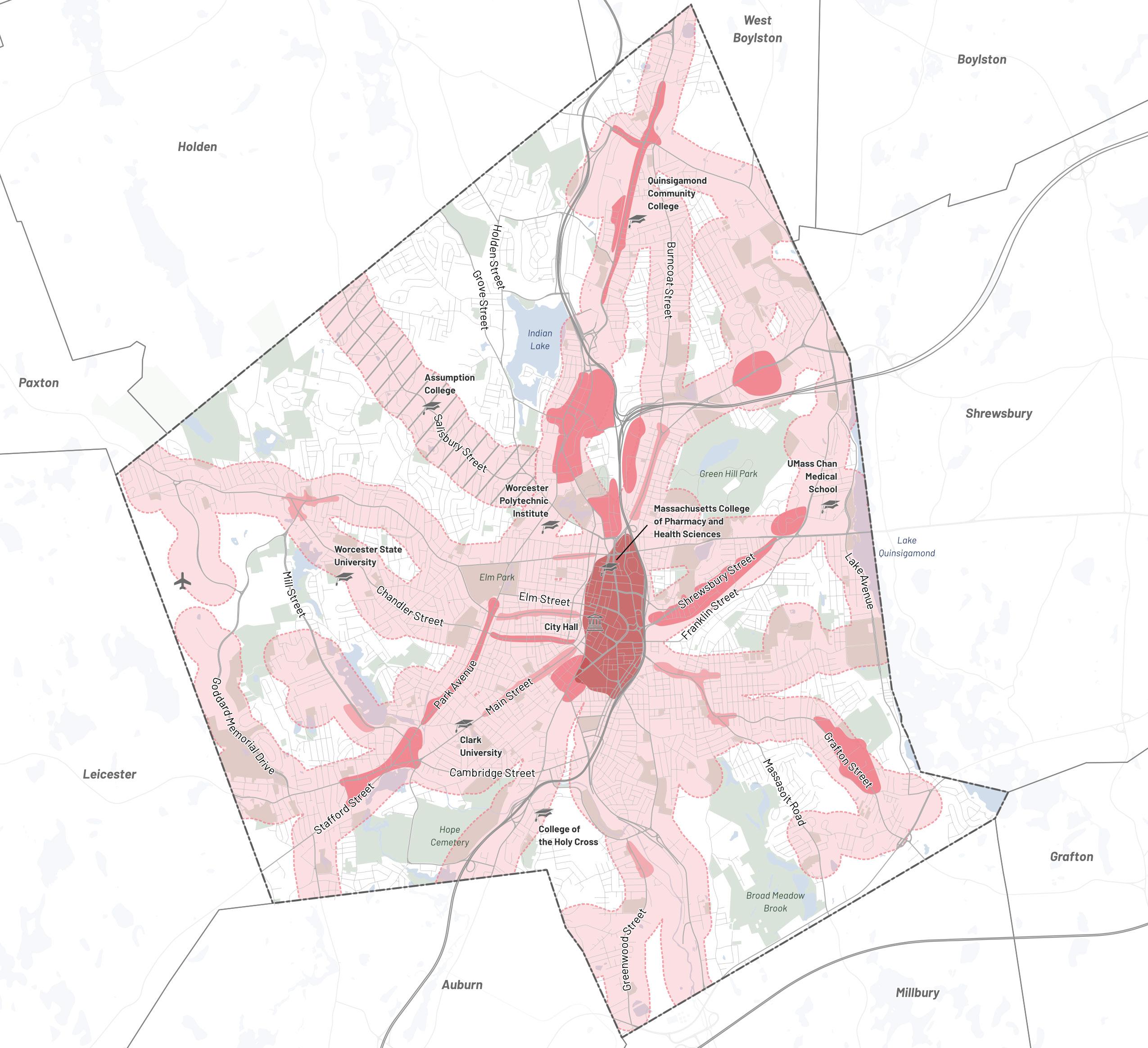
/ Canal District
Growth Area
Growth Area Managed Growth Area—Existing Transit Corridor Managed Growth Area—Potential Future Transit Corridor
Goals & Recommendations
Right now, multi-family housing is only allowed in limited areas of the city, many of which are not well connected with services and amenities like transit, parks, schools, and retail. This plan recommends that new, diverse multi-family housing types be allowed through new zoning focused on places that have the potential to be well-connected and rich in services and amenities such as downtown, the Canal District, and the Transformative Growth Areas and Infill Growth Areas identified on the map above.
If appropriate dimensional controls and a more form-based approach are integrated into Worcester’s zoning code it could enable larger multi-family residential buildings to be constructed by-right instead of through a conditional/special permit process. The graphic on the next page shows an initial approach to regulating the scale of residential buildings based on Growth Area type.
Housing
Downtown
Transformative
Infill
Worcester Next Worcester Now | Next 106
Regulating Multi-Family Housing Types by Growth Area
6-story mixed use (35 – 120+ units)
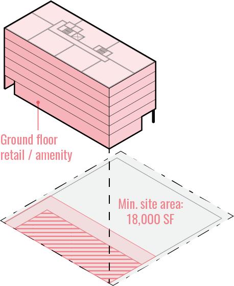
12 unit residential/mixed use
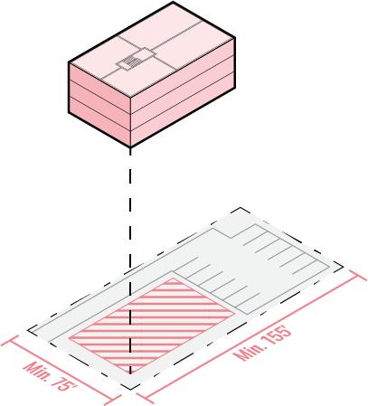
unit residential/mixed use
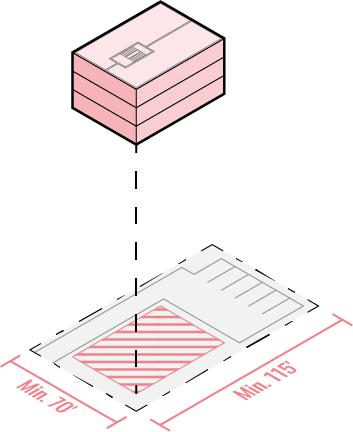
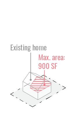
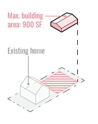
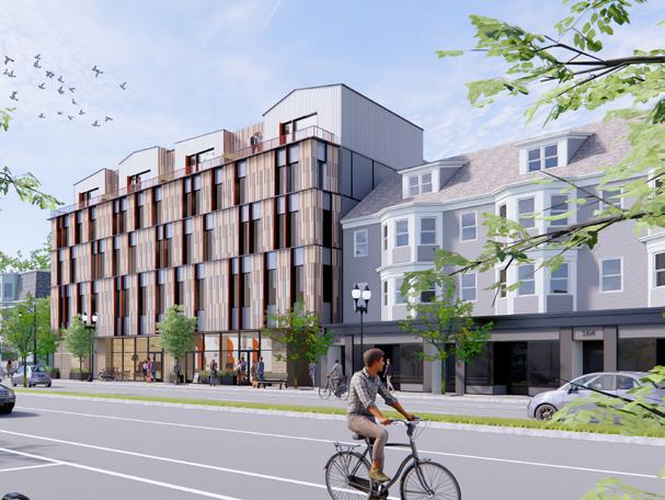
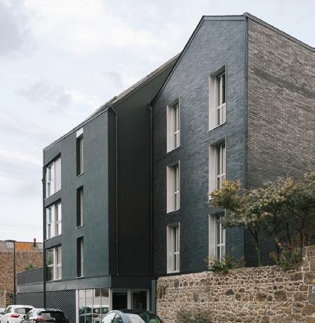
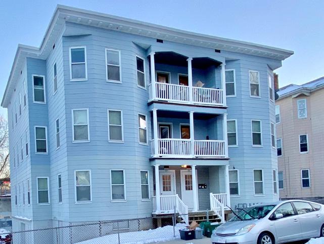
allowed by-right with dimensional controls
allowed by-right with dimensional controls
allowed by-right with dimensional controls
allowed by-right with dimensional controls
allowed by-right with dimensional controls
allowed with dimensional controls or conditional/ special permit allowed with dimensional controls or conditional/ special permit allowed with dimensional controls or conditional/ special permit prohibited in most cases
allowed by-right with dimensional controls
allowed by-right with dimensional controls allowed by-right with dimensional controls
Housing
Growth
Infill Growth
Managed Growth
Transformative
Areas
Areas
Areas
6
Accessory dwelling units (ADUs)
154 Broadway - Somerville, MA
Alta - St. Malo, France
Illinois Street - Worcester, MA
Example of a carriage house style ADU
Worcester Next City of Worcester 107
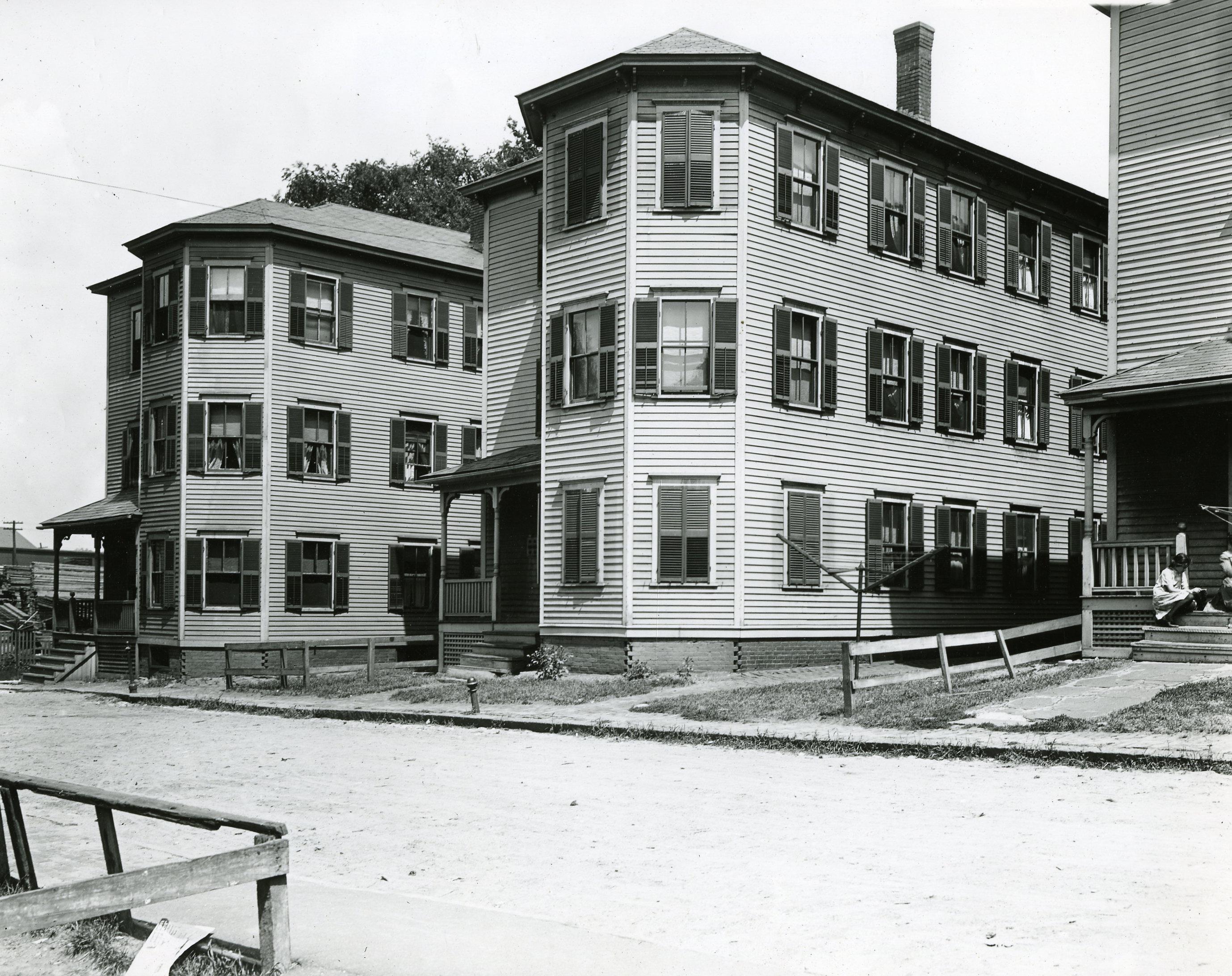
Housing
Worcester’s historic triple deckers, Keefe Place, 1911
Worcester Next Worcester Now | Next 108
Photo Credit: Worcester Historical Museum
Goal 2 Goal 1
Improve the quality of Worcester’s existing housing stock.
Create and enforce the policies, programs, and incentives required to systematically improve the quality, health, and sustainability of Worcester’s existing housing stock.
1.1: Code Enforcement
Create a well-resourced code enforcement partnership to proactively educate, address, and monitor health, safety, and accessibility issues in both rental and owner-occupied units to improve housing quality, without triggering displacement. This should address, among other things, issues of deferred maintenance, modernizing to meet current codes, hazardous materials like lead, and indoor air quality related to mold and other issues.
1.2: Sustainability & Resilience
Integrate education, incentives, and energy scoring requirements into renovation programs to promote the use of sustainable and climate resilient strategies in existing housing stock that help to reduce cost burden through increased energy efficiency and decreased risk of damage and loss.
1.3: Multi-family Preservation
Establish a program to preserve existing small multi-family buildings (e.g. duplexes and triple-deckers) by preventing redevelopment or conversion into singlefamily homes, and incentivizing renovations that address issues of energy cost burden, sustainability, resilience, code enforcement, and quality of life.
Increase Worcester’s housing supply with a diversity of housing types.
Support and incentivize the development of diverse housing types throughout the city to ensure housing opportunities for a mix of incomes, ages, abilities, and lifestyles.
2.1: Zoning
Adjust zoning regulations to allow increased density, reduced parking, and a variety of housing typologies (including supportive transitional housing, micro-units, and accessible units) in areas of the city with compatible use mixes, particularly in Growth Areas.
2.2: Accessible Units
Encourage universal design and visitability principles in regulations to facilitate inclusion of accessible housing typologies that promote aging in place as part of new developments and major renovations of existing housing, especially in walkable and transit-served locations.
2.3: Development Sites
Partner to facilitate identification, acquisition, financing, and development of sites with a high capacity for multi-family housing, including adaptive reuse of historic buildings.
2.4: Institutional & Student Housing
Partner with local colleges, universities, and institutions to address housing needs for students, seniors, and employees within proposed Growth Areas.
Housing
Worcester Next City of Worcester 109
Goal 3
Expand and create new opportunities for affordable homeownership.
Incentivize the development of more varied homeownership products and resources that meet the needs of lower income, BIPOC, and immigrant households, including condos and owneroccupied small multi-family housing typologies.
3.1: Diverse Owner-Occupant Housing
Allow and encourage the development of accessory dwelling units and other 2 – 3 unit housing typologies, condos, multigenerational housing, and smaller “no-frills” single-family housing in existing single-family zones.
3.2: Single-Family Owner-Occupant Support
Partner with local nonprofits, financial institutions, and community based organizations to provide educational, programmatic, and financial support for first-time and low-income homebuyers interested in single-family dwelling units and condos.
3.3: Non-Traditional Owner-Occupant Support
Develop a set of educational and financial resources designed to assist potential homebuyers open to non-traditional ownership models (e.g., cooperatives and co-ownership models, multigenerational family ownership, owner-occupant landlords for small multi-family dwellings and homes with ADUs, conversion of 3-decker units to condos, etc.).
Goal 4
Expand affordable housing options and protect residents from displacement.
Partner to preserve and expand the supply of protected affordable housing, particularly in transitand amenity-rich areas with access to opportunity.
4.1: Anti-Displacement Support
Continue to improve availability and awareness of support for residents facing eviction, foreclosure, and displacement through a network of City services and nonprofit partners.
4.2: Preservation & Protection
Implement protections to preserve existing affordable housing, both subsidized and “naturally occurring.”
4.3: Financing
Develop sustainable funding pipelines for affordable housing development.
4.4: Increase Affordable Housing
Continue to expand requirements and/or incentives that facilitate the development of new, subsidized and permanently affordable housing in transit-accessible and amenityrich areas.
4.5: Variety Standard
Evaluate development of a new affordable housing unit variety standard that encourages new developments to meet a variety of price points and incomequalification approaches so that new units align with local needs, including accessibility, and encourages mixed-income developments.
4.6: Housing Production Plan
Create a Housing Production Plan to better understand local housing needs, development constraints and opportunities, and to establish clear goals and strategies for local housing production.
Housing
Worcester Next Worcester Now | Next 110
Goal 5
Prioritize Housing First pathways out of homelessness.
Partner with service providers to develop a more comprehensive, place-based, Housing First approach to prevent and provide pathways out of homelessness.
5.1: Housing-First Zoning
Modify zoning to allow shelters, transitional supportive housing, and services for people experiencing (or at risk of) homelessness to be located in transit-accessible, wellconnected areas of the city.
5.2: Funding
Identify sources of funding which directly develop new housing and increase access to existing housing for formerly homeless households.
5.3: Unit Availability
Increase the number of units available for formerly homeless households, particularly permanent supportive housing.
5.4: Program Coordination
Continue coordination and communication among City departments, nonprofit, and institutional partners to effectively assess and address chronic homelessness.
111 Worcester Next City of Worcester
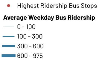
Transportation & Mobility
Issues & Opportunities
Worcester’s mobility networks need to evolve to provide safe, comfortable, and efficient transportation options that better meet the needs of all community members and support goals associated with economic development, public health, safety, equity, and sustainability.
The transportation and mobility needs of Worcester are being studied in greater depth by the ongoing Mobility Action Plan (MAP). Three top issues that emerged during the Now | Next planning process, which will be studied along with other priorities in the MAP, were:
Worcester’s streets need to be safer for all users;
Need for improved transit service and equitable Transit-Oriented Development; and Over-reliance on personal automobiles.
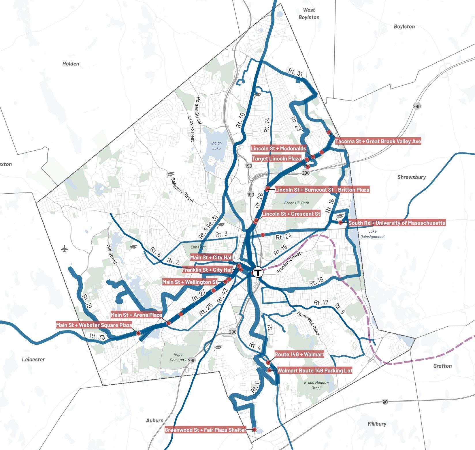
Transportation & Mobility
Worcester Next Worcester Now | Next 112
Average Weekday Bus Ridership, Source: WRTA
Streets Are Not Safe for All Users
Worcester’s streets are generally not designed to accommodate people traveling by means other than motor vehicles. Multiple-lane streets, wide travel lanes, right turn slip lanes, unprotected bike lanes, unmarked crosswalks, narrow sidewalks, lack of adequate bike facilities, and other physical characteristics of Worcester’s streets are dangerous for pedestrians and
bicyclists. Dangerous driver behavior such as speeding is also common due to a lack of traffic calming measures. Outdated street designs have led to a disproportionate share of bicyclist and pedestrian injuries and deaths, particularly in low-income, minority, and low English proficiency communities and around schools.
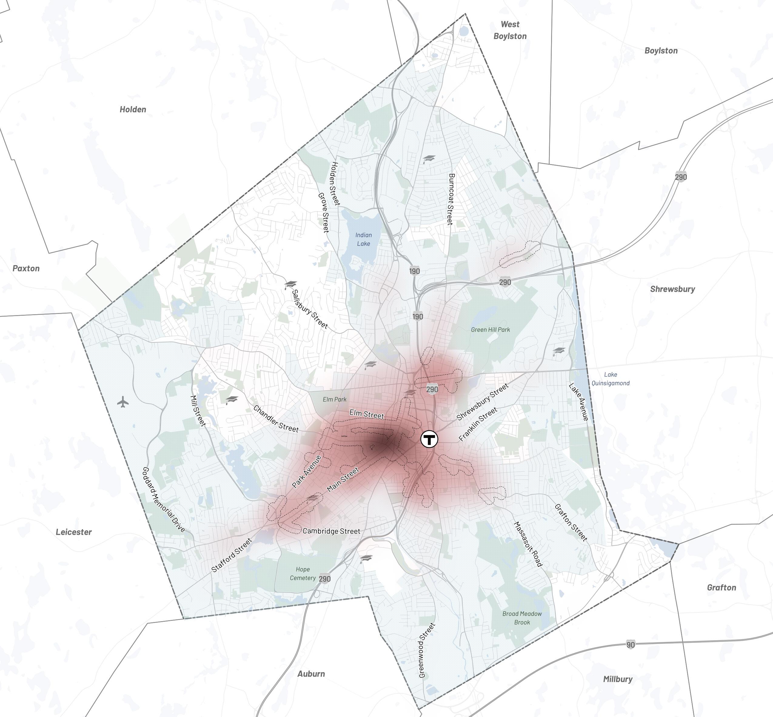

Transportation & Mobility Reported Non-Motorist
MassDOT
Crashes (2002-2020), Source:
Worcester Next
of
113
City
Worcester
Ongoing Efforts
Implementation of Complete Streets Prioritization Plan
Worcester developed a Complete Streets Prioritization Plan, which identifies, defines, and ranks potential transportation improvements that further the development of a network of Complete Streets.
Creation of Department of Transportation & Mobility
The City established a new department in 2022 whose mission is to focus on improving safety, providing equitable mobility options, and evolving to a more sustainable transportation system.
Mobility Action Plan (MAP)
The City’s MAP will examine transportation in greater depth, identifying and prioritizing more specific capital, operational, and programmatic projects to advance safe, connected, equitable, and sustainable transportation in Worcester.
Vision Zero Safety Action Plan
The City’s Safety Action Plan will identify the High Crash Network – those streets and intersections at the highest risk for crashes with severe outcomes – and establish and prioritize actions aimed at reducing serious injury and fatal crashes, with a Vision Zero goal of complete elimination of these most serious crash outcomes through changes in both user behavior and infrastructure.
What types of designs make you feel safe and comfortable on Worcester’s streets now?
“Canal district area seems safe/ comfortable”
Workshop 1
“Speed bumps have helped” Workshop 1
“New LED streetlights, flashing crosswalk lights, redesigned crosswalks in downtown”
Workshop 1
“Forcing drivers to slow down through road design”
Workshop 1
What would make you feel more safe and comfortable on Worcester’s streets?
“Need massively more protected bike lanes. It feels very unsafe to bike now”
Workshop 1
“Better maintained sidewalks, connected bike lanes”
Workshop 1
“More connected neighborhoods so that more people can use the network of sidewalks and bike paths”
Workshop 1
“More Trees”
Workshop 1
Current infrastructure is not friendly to any mode of transport except cars. Congestion can be reduced if there are protected bike lanes.
61% Agree, 17% Disagree, 20% Pass (n=480)
Streets within 1 mile limit for walking to school NEED sidewalks. If kids can’t get a bus they shouldn’t be forced to walk in the street.
91% Agree, 2% Disagree, 5% Pass (n=446)
Polis Surveys
Transportation & Mobility
Worcester Next Worcester Now | Next 114
Need for Improved Transit Service & Equitable Transit-Oriented Development
Worcester’s existing development patterns, transit service levels, and auto-oriented infrastructure encourage driving instead of walking, cycling, or taking public transit. As a result, 80% of Worcesterites drive alone or carpool to work. Just 3% take public transit and 7% walk to work. While commuting to work is an important aspect of mobility, it is only one type of trip. A holistic approach to mobility considers barriers to other types of trips
While the transportation network and land use patterns in much of the city are auto-centric, a sizable portion of the community does not have access to a personal automobile in their household. 29% of renters, and 19% of the community in total, do not own or have access to a private automobile. A majority of Worcester residents have one or fewer automobiles in their household, in contrast to minimum parking requirements that require two parking spaces per dwelling unit in many areas of the city. Commuting Mode to
Transportation & Mobility 0% 69% 0% 0% Worcester Springfield Lowell 1% 1% 7% 76% 76% 66% 65% 24% Drive Alone 11% 9% 9% 11% 11% 3% 3% 4% 3% 6% 5% 26% 7% 4% 5% 7% 8% 24% 10% 0% 7% 6% 9% 9% 16% Carpool Public Transit Bike Walk Work From Home & Other 10% 20% 30% 40% 50% 60% 70% 80% Percent of Commuters Using Mode to Get to Work Waltham Providence Cambridge
Household Access to Personal Motor Vehicles in Worcester: 2019 ACS 5-Year Estimates
Work (2020), Source: ACS 5-Year Estimates
No Vehicles 1 Vehicle 2 Vehicles 3 or More Vehicles Renters 29% 50% 17% 4% Owner Occupied 5% 35% 41% 19% All HH 19% 44% 27% 10% Worcester Next City of Worcester 115
Tax Exempt (Institutional Government Nonprofit), 21%
As Worcester continues to grow, there is a need to incentivize development and update land use regulations to support strong transit ridership without displacing existing residents. Development that includes a walkable and inviting public realm, reliable and frequent transit service, and an adequate density of jobs and housing can allow long-time residents and newcomers alike to reduce their overall car usage or forgo vehicle ownership altogether.
Other/Vacant, 9%
Industrial, 14%
Low-Density Residential, 3%
High-Density Residential, 7%
walking, and cycling can also help Worcester realize its goals for mobility, sustainability, safety, and equity.
Considerations for eTOD planning include preservation of existing housing, development of new housing and supportive land uses, and creating job opportunities with the support of local businesses. Planning for TOD that does not displace existing residents is crucial, especially in Worcester’s densest neighborhood – downtown. Worcester residents who live within a half-mile of Union Station have a significantly lower median household income than the citywide average, leaving them more vulnerable to displacement from rent and other cost increases.23
Land Uses within 0.5 miles of Union Station (2018), Adapted from Source: The Promise and Potential of Transit-Oriented Development in Gate�a� ��t�e��
Commercial, 46%
Reduced car ownership and usage can help mitigate issues like traffic accidents, pollution, and congestion, and it can provide more space for other uses like housing and greenspace by reducing the need for expensive auto infrastructure (such as parking garages). Shifting trips away from personal vehicles to transit,
Over-Reliance on Personal Automobiles
Worcester is both a major origin and destination for regional trips. Currently, visitors and commuters arriving in Worcester have few choices besides driving directly to their destinations. A lack of alternative options places pressure on high demand areas, such as downtown, to provide more surface and structured parking, exacerbating heat island effects, shrinking the amount of land available for uses that contribute to a vibrant street life (such as retail or restaurants), decreasing walkability, and reducing economic vitality.
Along with mixed use development, eTOD requires frequent and reliable transit service. Worcester and its surrounding communities are served by the Worcester Regional Transit Agency (WRTA), which operates several fixed-route bus lines and on-demand paratransit. The bus network operates on a hub-and-spoke model, connecting Worcester’s neighborhoods to the downtown hub at Union Station where riders can transfer between bus lines and to the commuter rail. Bus frequency and reliability are barriers to more widespread use of the transit network. While some routes operate at 15 to 30 minute weekday frequencies during peak periods, many routes operate only once every 30 minutes to an hour.24, 25
In addition to designing for and providing convenient travel options, establishing walkable mixed-use centers in and around downtown and other neighborhood centers is key to decreasing reliance on personal automobiles and improving accessibility. This type of coordinated development that places residents and services in close proximity can provide a built-in customer base for businesses and will decrease both the number and length of trips that are taken by personal automobile travel.
23. The Promise and Potential of Transit-Oriented Development in Gateway Cities (MassInc, 2018)
24. Source: WRTA (FY ‘22)
25. 82% of WRTA buses arrived at their stops on time in 2021 (MassDOT). On time performance for fixed routes is defined as the percentage of buses arriving at stops between 1 minute early and 10 minutes late (WRTA).
Transportation & Mobility
Worcester Next Worcester Now | Next 116
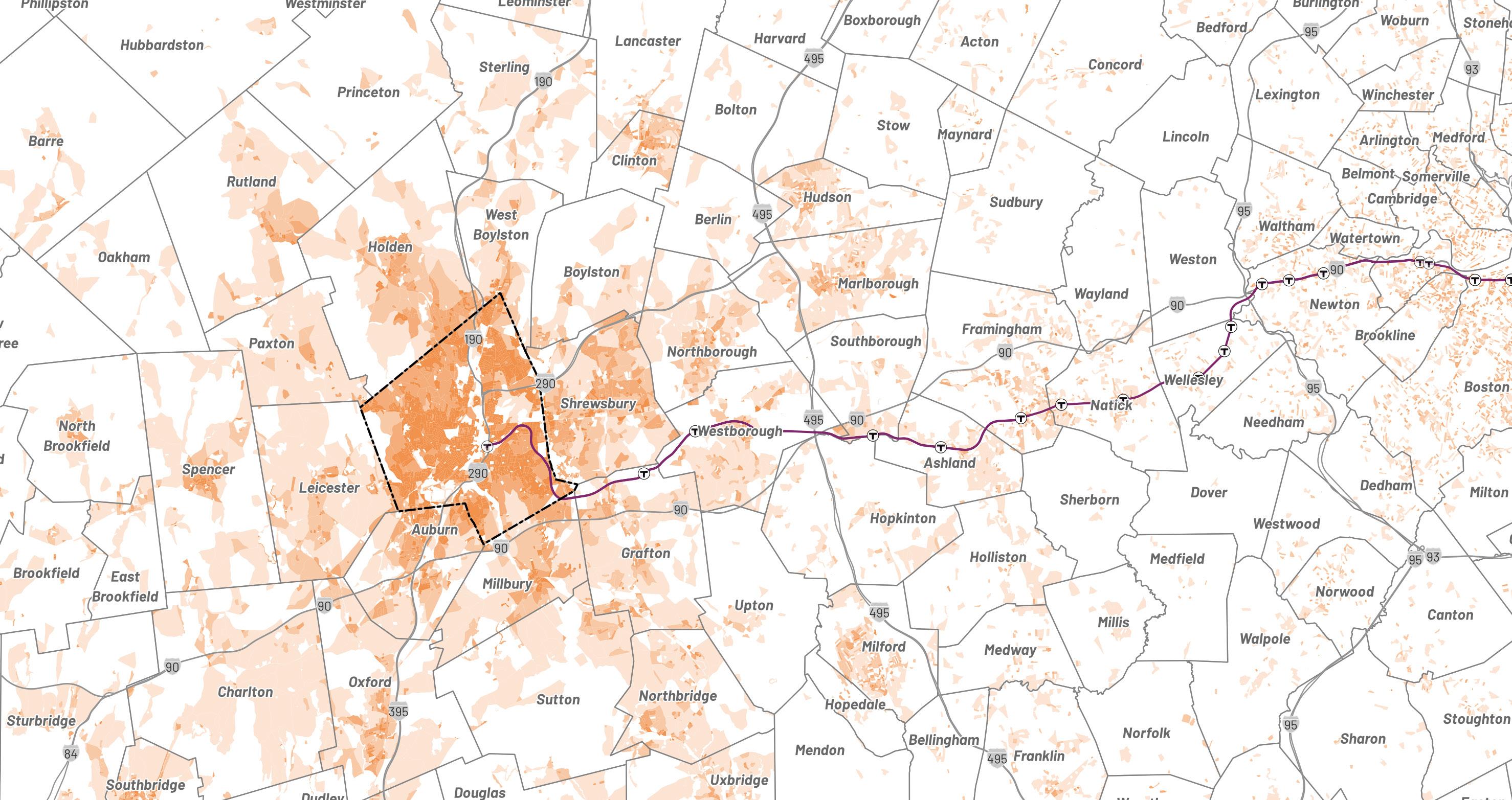
Where Worcester Workers Live, Source: U.S. Census Longitudinal Employer-Household Dynamics
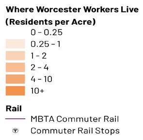
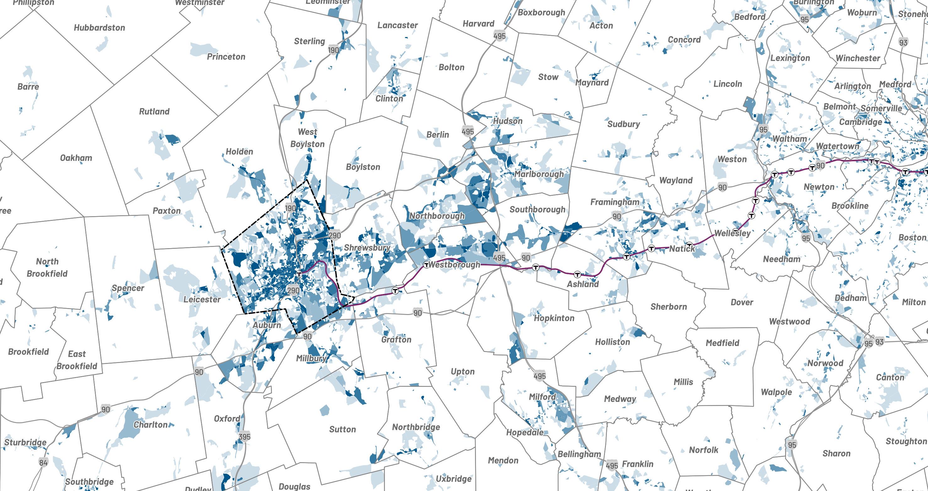
Where Worcester Residents Work, Source: U.S. Census Longitudinal Employer-Household Dynamics
Goals & Recommendations
Many of Worcester’s streets and intersections are designed to prioritize vehicle speed and convenience over the safety of other road users. This board shows some of the ways the City is
planning to create a more safe, equitable, and sustainable transportation and mobility network in Worcester.
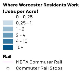
Transportation & Mobility
Worcester Next City of Worcester 117
What do you appreciate about the experience of getting to/from Worcester via car or transit now?
“Convenience of the Union Station garage to both bus hub and commuter rail”
In-Person Public Workshop 1
In-Person Public Workshop 1
“Central location of city with highways in every direction, easy in and out (except rush hour)”
In-Person Public Workshop 1
Next: What would make it more safe, comfortable, efficient, and enjoyable to get to/from Worcester?
“Bus Rapid Transit and signal priority”
In-Person Public Workshop 1
“Buses run every 10 mins, bus service runs beyond 8 – 9 PM for nightlife, bus shelters/benches at all stops, bike share, fare-free transit”
In-Person Public Workshop 1
We need expanded bus service. Cars should not be required to live in this city and access the T 74% Agree, 10% Disagree, 15% Pass (n=513)
Improving bike and pedestrian connections to public transit, including the commuter rail, is critical to quality of life and economic vibrancy in Worcester. 80% Agree, 8% Disagree, 11% Pass (n=561)
Transportation & Mobility
Spring Citywide Surveys
“Fare Free WRTA”
Worcester Next Worcester Now | Next 118
Next: What would make it more safe, comfortable, efficient, and enjoyable to get to/from Worcester?
“Improved passenger rail service east, west, and south”
In-Person Public Workshop 1
“Protected bike lanes”
In-Person Public Workshop 1
“Without a car it’s difficult, increase WRTA schedule”
In-Person Public Workshop 1
“Set up Park/Rides so commuters who drive in from the burbs to work in Worcester don’t have to drive through and park in town”
In-Person Public Workshop 1
Cars are essential. Create enough parking when new developments are designed.
39% Agree, 38% Disagree, 21% Pass (n=462)
I support investing in improving the frequency, speed, and reliability of Worcester’s bus network.
76% Agree, 8% Disagree, 15% Pass (n=541)
Next: What design or use changes would improve the experience and utility of Worcester’s public transit?
“Improved service frequency, transit signal priority, bus lanes, connections to destinations, micro-mobility”
In-Person Public Workshop 1
free buses”
Public Workshop 1
“Redesign public transit “map” so that there are additional bus routes intersecting/crossing instead of just one hub with spokes coming out (would make it so much easier and faster to get around town!”
Public Workshop 1
“Human friendly stops and a bare pole standing in the sun is unpleasant”
In-Person Public Workshop 1
“Prioritizing public transportation over car-centric transportation”
In-Person Public Workshop 1
Transportation & Mobility
Virtual
“Fare
Virtual
Worcester Next City of Worcester 119
Polis Surveys
Intersection Safety
There have been over 3,500 crashes involving pedestrians and cyclists in Worcester in the last two decades. These crashes disproportionately impact residents in Environmental Justice areas, and nearly half of the crashes were within ¼ mile of a school.
This map shows high risk intersections that were identified through technical analysis as especially hazardous to bicycles and pedestrians because of factors like:
Slip lanes (channelized right turns)
Lack of marked crosswalks or unsignalized crosswalks across multiple lanes of traffic
Wide crossing distances without refuge islands
Roadway geometry that encourages speeding (wide travel lanes, large turning radii)
Many of these intersections were also identified by residents and community members as unsafe intersections for all users, but particularly high risk for more vulnerable and exposed road users like pedestrians, cyclists, and those with sensory and mobility disabilities.
Based on crash history and review of geometric conditions, a number of intersections have been identified through the Now | Next process as having the potential hazards. The MAP and forthcoming Vision Zero Safety Action Plan will evaluate these and other locations to prioritize investments to improve safety, comfort, and accessibility for all road users:
• Belmont St / Edward St
• Belmont St / Lake Ave
• Belmont St / Lincoln St
• Belmont St / Plantation St
• Belmont St / Shrewsbury St
• Burncoat St / I-190
• Burncoat St / I-290 Westbound
• Cambridge St / Millbury St
• Cambridge St / Richards St
• Cambridge St / Southbridge St
• Chandler St / Main St
• Chandler St / May St
• Chandler St / Pleasant St
• Grove St / Holden St
• Grove St / W Boylston St
• Hamilton St / Grafton St
• Hamilton St / Lake Ave
• Harding St / Kelley Sq
• Highland St / Park Ave
• Highland St / Pleasant St
• Hope Ave / I-290 Off-Ramp
• Lincoln St / Burncoat St
• Lincoln St / Salisbury St
• Main St / Cambridge St / Webster St
• Main St / May St
• Park Ave / Gold Star Blvd / Grove St
• Park Ave / Mill St
• Park Ave / Stafford St / Main St
• Plantation St / Boylston St
• Plantation St / Lincoln St
• Pleasant St / Richmond Ave
• Providence St / Millbury St
• Southbridge St / College St / I-290 On-Ramp
• Sunderland Rd / Short St
• W Boylston St / Mountain St E/W
Transportation & Mobility
Worcester Next Worcester Now | Next 120
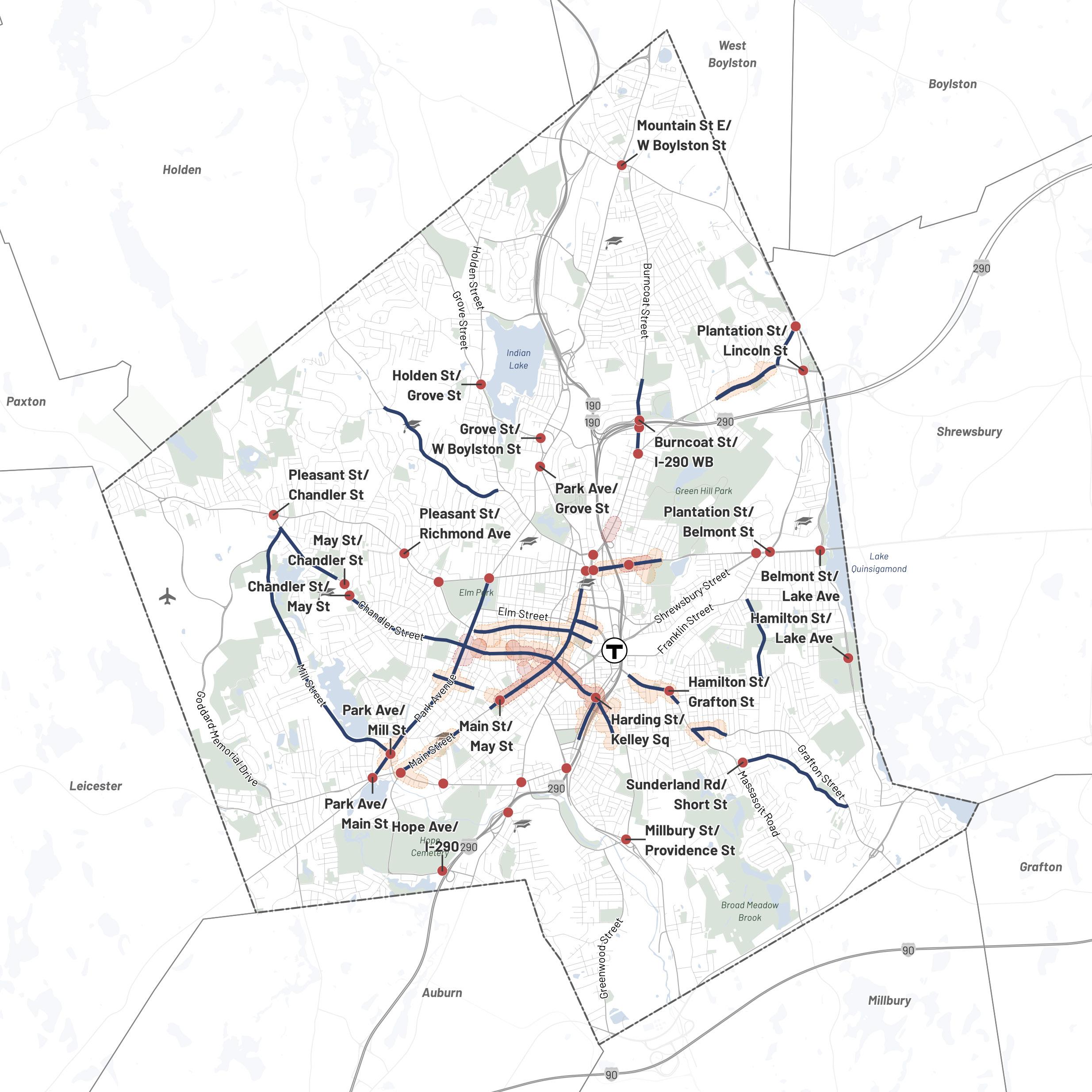

Intersections with Identified Hazards
Top Bicycle Crash Cluster (2010-1019)
Top Pedestrian Crash Cluster (2010-2019)
Corridor Safety Project
Note: Crash clusters indicate the top crash locations identified by MassDOT.
Transportation & Mobility
Worcester Next City of
121
Worcester
Transit & Bicycle Priority
Worcester is committed to making transit and bicycle users a priority in street design and traffic operations. This map shows a vision where Worcester prioritizes transit users and bicyclists. The City will further develop this vision in its MAP.
Transit and bicycle networks work best when they support one another with improved bicycle infrastructure providing first and last mile connections that extend the reach of transit routes. The bicycle network shown in the map below is intended to support commuting as well as recreational cycling and is designed to connect key destinations throughout the city. Where feasible, and especially on busier streets, bicycle lanes should be separated or otherwise protected with a striped buffer, flex posts, or curbs.
Proposed Transit Priority Corridors:
• Grafton St. (Massasoit Rd. >> Downtown)
• Lincoln St. (I-290 >> Downtown)
• Main St. (Webster Sq. >> Downtown)
• Park Ave. (Webster Sq. >> Grove St.)
These Transit Priority Corridors could eventually be expanded to include a broader set of potential corridors, including portions of Belmont Street, Chandler Street, Hamilton Street, Madison Street, Plantation Street, Providence Street, Shrewsbury Street, Vernon Street, and the current Route 11 WRTA bus alignment which has high ridership despite a winding route.
Proposed Bike Network
Transit Priority Corridors
Proposed
Potential Future Candidate
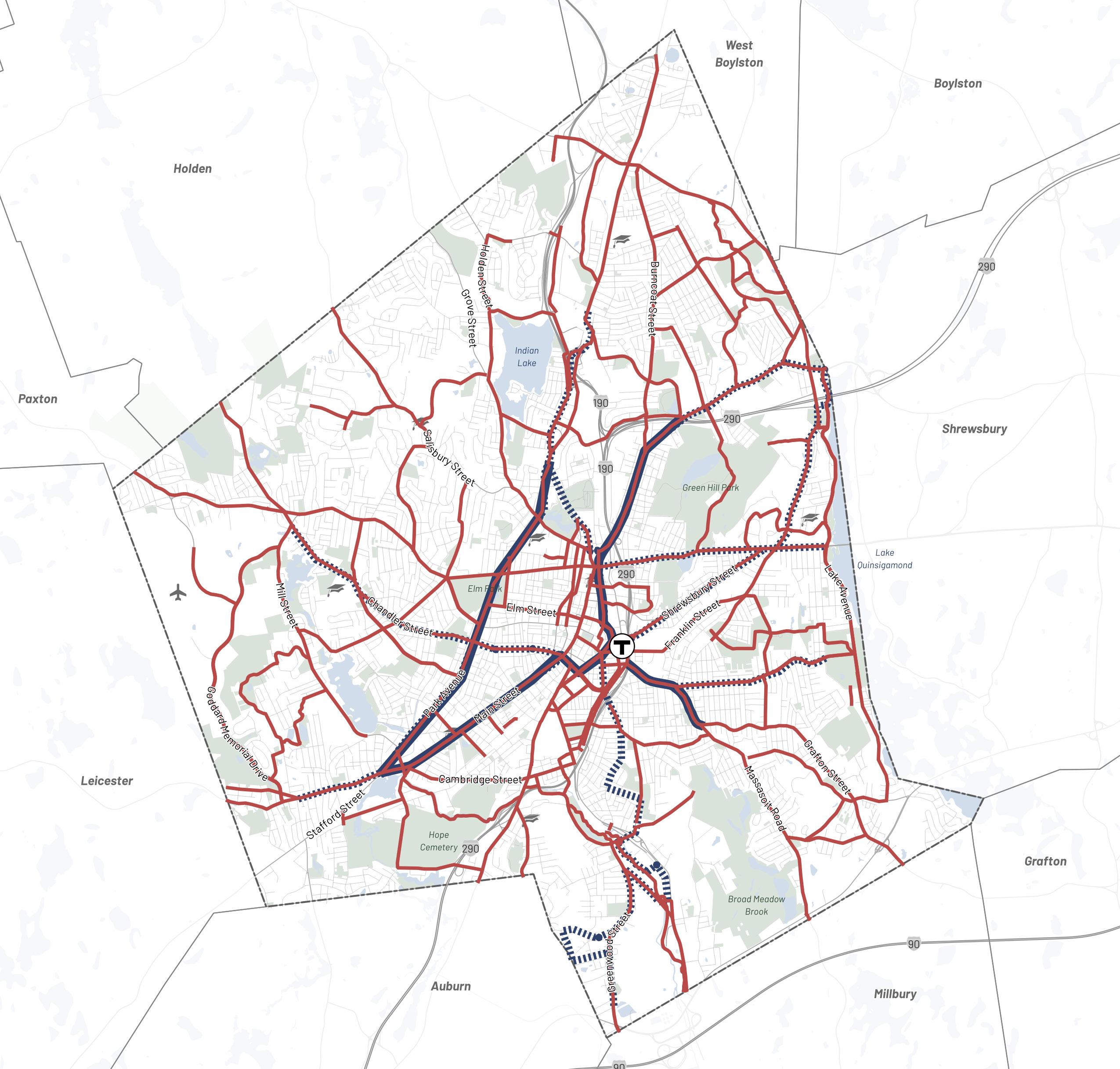
Transportation & Mobility
Worcester Next Worcester Now | Next 122
Goal 1
Develop a prioritized work plan for Worcester’s new Department of Transportation and Mobility.
Extend the Now | Next process with a citywide Mobility Action Plan (MAP) to identify and prioritize more specific capital, operational, and programmatic projects to advance safe, connected, equitable, and sustainable transportation in Worcester.
1.1: Roadway Design
Identify and prioritize design strategies and regulations to make safe streets for all users (e.g. intersection improvements, traffic calming, corridor safety upgrades, developing standards, and updating regulations).
1.2: Active Transportation
Identify and prioritize active transportation strategies (e.g. additional bike & micromobility infrastructure, pedestrian infrastructure).
1.3: Transit
Identify and prioritize transit strategies (e.g. transit priority corridors, service enhancements).
1.4: Demand Management
Identify and prioritize parking, transportation demand management, and curbside management strategies (e.g. parking policies, curb space allocation).
1.5: Departmental Operations
Identify and prioritize department-wide strategies (e.g. coordination, collaboration, outreach, seeking funding).
1.6: Prioritization Method
Develop an equity-centered method for prioritizing investment in and implementation of recommendations 1.1 – 1.5.
Goal 2
Encourage sustainable and equitable transit-oriented development (eTOD).
Establish transportation and mobility standards and processes that encourage sustainable and equitable transit-oriented development to reinforce the foundation provided in the Worcester Next Development Norms.
2.1: Parking Standards
Implement citywide off-street parking and on-street curb management reforms that support sustainable development and improve air quality and health outcomes, with even more progressive standards for the new eTOD overlay.
2.2: Demand Management
Incorporate Transportation Demand Management (TDM) and curbside management planning requirements into the development approval process for developments.
2.3: Private Investment
Establish policy levers that tie new development to investment in the MAP priorities.
2.4: Neighborhood Investment Priorities
Develop transportation and mobility capital investment and operational priorities for existing neighborhood centers and Growth Areas in alignment with future land use visions and in coordination with land use planning.
Transportation & Mobility
Worcester Next City of Worcester 123
Goal 3 Goal 4
Redesign and construct streets and policies to reprioritize safety, accessibility, comfort, and sustainability for all users.
Redesign streets for the safety and comfort of all users using universal design principles for complete and green streets.
3.1: People-First Street Design
Right-size existing infrastructure and eliminate street designs and regulations which prioritize vehicle flow at the expense of user safety and access.
3.2: Operations & Enforcement
Align City policies and programs across all departments to ensure safe, convenient travel for all road users throughout Worcester, including studying municipal role in snow removal for bike, pedestrian and transit infrastructure.
3.3: Pedestrian Infrastructure
Systematically improve pedestrian infrastructure, with an emphasis on accessibility, ADA & PROWAG compliance, and crossing safety.
3.4: Bicycle & Micro-Mobility Infrastructure
Build infrastructure to enable safe, convenient bicycle and micro-mobility travel throughout the city.
3.5: Private Road Modernization
Work with impacted residents to develop a new policy for Worcester’s private roads that improves emergency access and maintenance to meet critical safety, accessibility, and water quality standards. Proactively work to convert private roads to public when there is public benefit.
3.6: Speed Management
Reduce statutory speed limit city-wide and enact safety zone speed limits at appropriate locations. Eliminate regulatory speed zones with inappropriately high speed limits.
3.7: Vision Zero
Place safety first by creating and implementing a Vision Zero Safety Action Plan to eliminate fatalities and serious injuries on Worcester roadways.
Invest in Worcester’s public transit.
Invest City time and resources to support improved frequency, reliability, real-time service communication, and overall rider experience on priority regional public transit services. City efforts to support and improve Worcester’s public transit will be further defined through the MAP process.
4.1: Funding
Cultivate new sources of reliable funding to maintain and improve Worcester’s transit service and universal access to it.
4.2: Street Redesign
Partner with WRTA to implement street designs which reduce delay and unpredictable travel times for transit vehicles.
4.3: Equitable & Accessible Service
Explore strategies to provide more equitable and accessible service year-round, especially to groups that are not currently prioritized in transit service scheduling and operations.
4.4: Compete With Private Vehicles
Invest in transit system improvements which will deliver convenient, comfortable, safe, and reliable service that offer a competitive alternative to single occupancy vehicle use.
4.5: First/Last Mile Connections
Develop first and last mile connection strategies between transit, residential neighborhoods, and goods and services.
Transportation & Mobility
Worcester Next Worcester Now | Next 124
Goal 5
Expand and enhance regional transportation alternatives to private vehicle use.
Through the MAP identify processes and projects to create a multi-modal transportation system to create safe and comfortable transportation choices. Partner to invest in infrastructure and public behavior change campaigns to reduce the use of cars to get from the region to Worcester’s walkable urban districts and amenities.
5.1: Transit To Regional Destinations
Continue to track demand and advocate for regional transit service that connects Worcester residents to employers and services outside city limits.
5.2: Downtown Travel Alternatives
Partner with regional transit service providers and landowners to enable commuters and visitors to travel downtown without the use of a personal vehicle.
5.3: Boston Commuter Service
Continue to promote and advocate for improvements to MBTA commuter rail service to Boston as an economic, cultural, and recreational asset.
5.4: Event-Based Travel Management
Provide and incentivize use of alternative options to driving for major sports, recreational, and cultural events.
5.5: Regional Rail Service
Promote and advocate for Amtrak or other regional rail service to Providence, Springfield, Hartford, and beyond as an economic, cultural, and recreational asset.
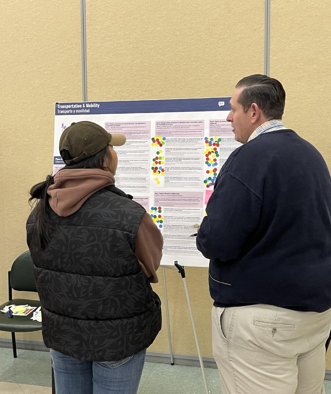
Transportation & Mobility
Worcester Next City of Worcester 125
Recreation, Open Space, and Environment
Issues & Opportunities
Recreation, open space, and the environment came up early on in the engagement of Worcester community members. When asked what people loved about Worcester in the visioning stage, many people mentioned Worcester’s public parks and indoor civic and recreational places like the Library, Green Hill Park, Elm Park, and Newton Hill. However, even as community members praised and valued Worcester’s natural and recreational spaces, many also noted that it was important for Worcester to prioritize parks, playgrounds, and trees more and that they hoped to see more recreation options, especially creative ones like water parks, long distance skate tracks, and winter activities.
“Well maintained and accessible public parks and open spaces are crucial for a thriving and healthy city.”
These themes are consistent with the recent City of Worcester planning efforts that are most relevant to this topic area: the Green Worcester Plan (2021), the Open Space and Recreation Plan (2021) and the Urban Forest Master Plan (2023). The 2016 Greater Worcester Community Health Improvement Plan (CHIP), the 2018 Community Health Assessments (CHA), and the Worcester Water System Master Plan (Integrated Plan) and Worcester Hazard Mitigation Plan Update (2019) also cover issues that relate to recreation, open space, and the environment. All these plans highlight the ways in which the health of our natural systems is inseparable from issues of human health, quality of life, and equity. This through-line is evident in different ways in each of the four cross-cutting themes that tie these plans together and tie them to this plan.
Recreation, Open Space, & Environment
Worcester Next Worcester Now | Next 126
Theme 1: Green Infrastructure, Tree Canopy & Water Management
Multiple plans and extensive community input have validated the importance of integrating green infrastructure within public rights-ofway (a.k.a. “complete streets”), public facilities, and the park system to not only mitigate urban heat island impacts and flooding but also improve human and ecosystem health. This also has significant overlap with issues of water quality and stormwater management, as well as transportation and mobility goals, as it is critical to the comfort of people traveling by foot or cycling and has numerous co-benefits in terms
Tree Equity
of traffic calming and safety. As noted in the Urban Forestry Master Plan, these questions are deeply intertwined with issues of equity and the legacy of past policies like Redlining that drove divestment, loss of tree canopy and green spaces, and increased paving, that collectively compound issues of air quality, heat island effect, and flooding. Reinvesting in green infrastructure, the urban forest, and stormwater management is not just a quality of life and equity issue - it is also a critical component of ensuring the Worcester community is able to not only withstand but be resilient in the face of the stresses and harsh impacts of a changing climate.
The Urban Forestry Master Plan provided many insights into the widespread desire to see increased and more equitable investment in Worcester’s urban trees.
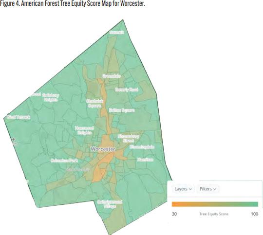
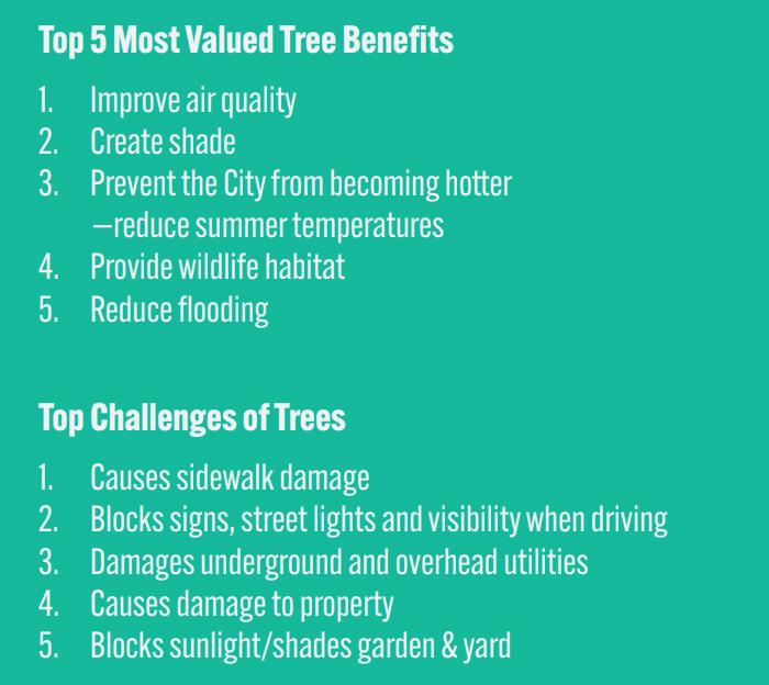
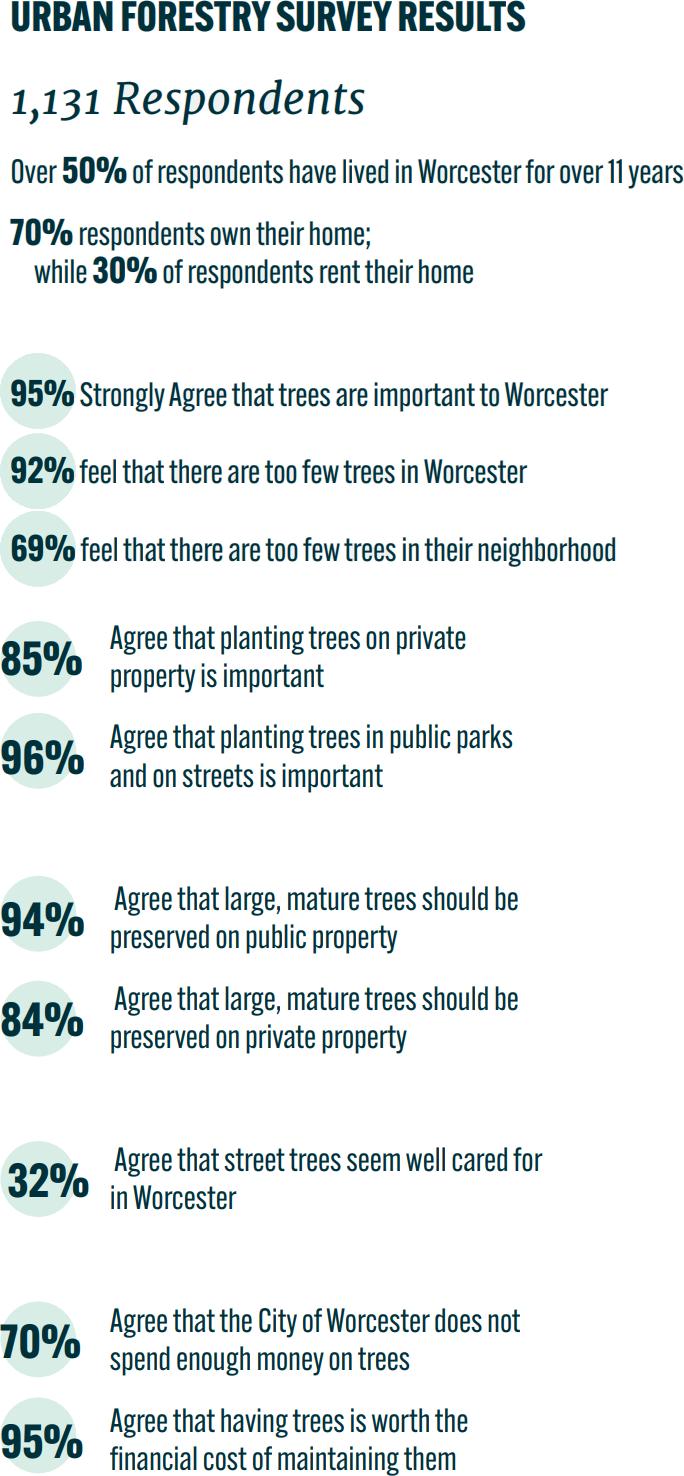
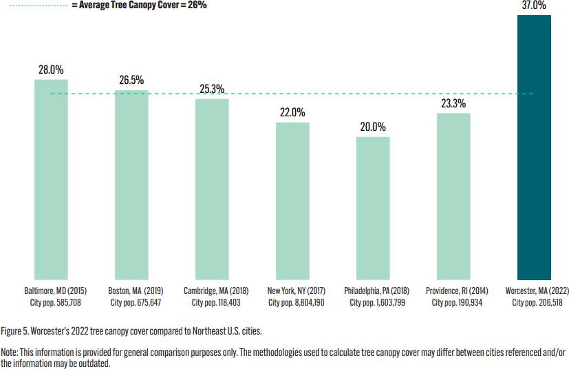
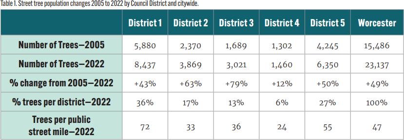
Recreation, Open Space, & Environment
Worcester Next City of
127
Graphics and data in this callout are sourced from the Worcester Urban Forestry Master Plan.
Worcester
Theme 2: Ecosystem Health, Connectivity & Access to Nature
The importance of protecting, conserving, and being good stewards of the places that are central to the health of Worcester’s natural ecosystems, wildlife habitats, and water quality is underscored in every plan that the City has produced. Part of this is continuing to link green and blue spaces to both strengthen the connectivity of natural systems and improve community access to natural spaces where possible to promote community health and well-being.
Priority Natural Areas
The priority natural areas shown in this map are critical to the health of natural ecosystems and wildlife habitat, as well as the health of regional waterways and drinking water reservoirs. These areas should be prioritized for low-impact development, habitat preservation and restoration, land conservation, and green infrastructure to manage stormwater and improve water quality.
Wetland Habitat & Floodplains
These areas are home to Worcester’s defining water bodies as well as the wetlands and floodplains that surround them. Defining water bodies include:
• Blackstone River
• Cook, Curtis, and Leesville Ponds
• Kettle Brook
• Coes, Patch, and Lynde Brook Reservoirs
• Lake Quinsigamond
• Indian Lake
• Broad Meadow Brook
Upland Habitat
These areas include critical habitat for rare species and some of the most intact natural areas in Worcester.
Data Source: FEMA and BioMap 3, a joint initiative of MassWildlife and The Nature Conservancy with support from the Executive Office of Energy & Environmental Affairs. To learn more about the elements mapped here, visit https:// biomap-mass-eoeea.hub.arcgis.com/pages/components
By conserving valuable habitat as well as vulnerable land that helps cool, store carbon, and absorb flood waters and providing improved community access where possible, this focus on preserving priority natural areas will help mitigate the negative impacts of climate change and improve community quality of life.
The support and collaboration of open space preservation and conservation partners like the Greater Worcester Land Trust (GWLT) and Mass Audubon as well as institutional and private actors is critical to this effort.
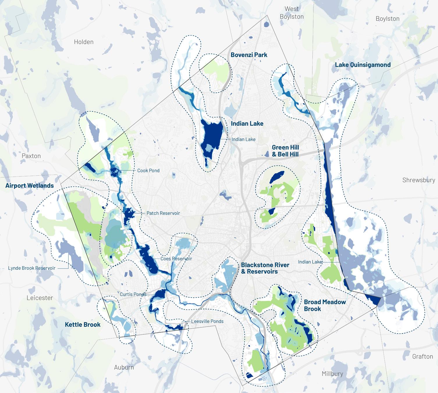
Wetland Habitat & Floodplains
Aquatic Habitat
100-Year Floodplain, Wetlands, & Vernal Pools
500-Year Floodplain & Wetlands/Vernal Pool Buffers
Core Habitat
Core Habitat Buffer Regional Connections
Recreation, Open Space, & Environment
Upland Habitat
Worcester Next Worcester Now | Next 128
Theme 3: Equitable Access to Diverse & Representative Recreation Options
As documented in the Open Space and Recreation Plan, in order to serve all of the Worcester community’s open space and recreation needs, there is a need for thoughtful, sustained, and carefully balanced investment in the maintenance and expansion of parks, playgrounds, and recreation facilities with an attention to issues of equitable access. While Worcester has many beloved, high-quality parks and recreational facilities, the access to them is uneven both in terms of geographic proximity and in terms of how accessible they are for people arriving by transit, foot, bicycle, or micromobility device versus by car.
Recreation Access
Linking open spaces is critical, as such, this map shows potential links that would provide equitable access to existing recreation spaces, including defined, low-impact access to passive recreation areas and waterbodies. This plan envisions a more connected network of safe and comfortable routes to Worcester’s parks, open spaces, and recreation facilities for those that are walking, cycling, and using micro-mobility devices. This vision for recreation access will be refined further trough the MAP process.
Serving the needs of all ages, abilities, cultures and identities in Worcester is less about increasing parkland, and more about ensuring more equitable access to existing facilities and locating new or expanded parkland in the areas that are most underserved now. Improving equitable access includes communication and wayfinding as well as addressing accessibility barriers and improving physical connectivity between parkland and neighborhood centers through improved sidewalks, greenways, and multi-use paths and trails. As highlighted in both the Open Space and Recreation Plan as well as the Cultural Plan, there are also opportunities to increase the inclusivity and value of parkland and recreation facilities by supporting the activities, programs, and cultural expression of the local communities served by each park or facility.
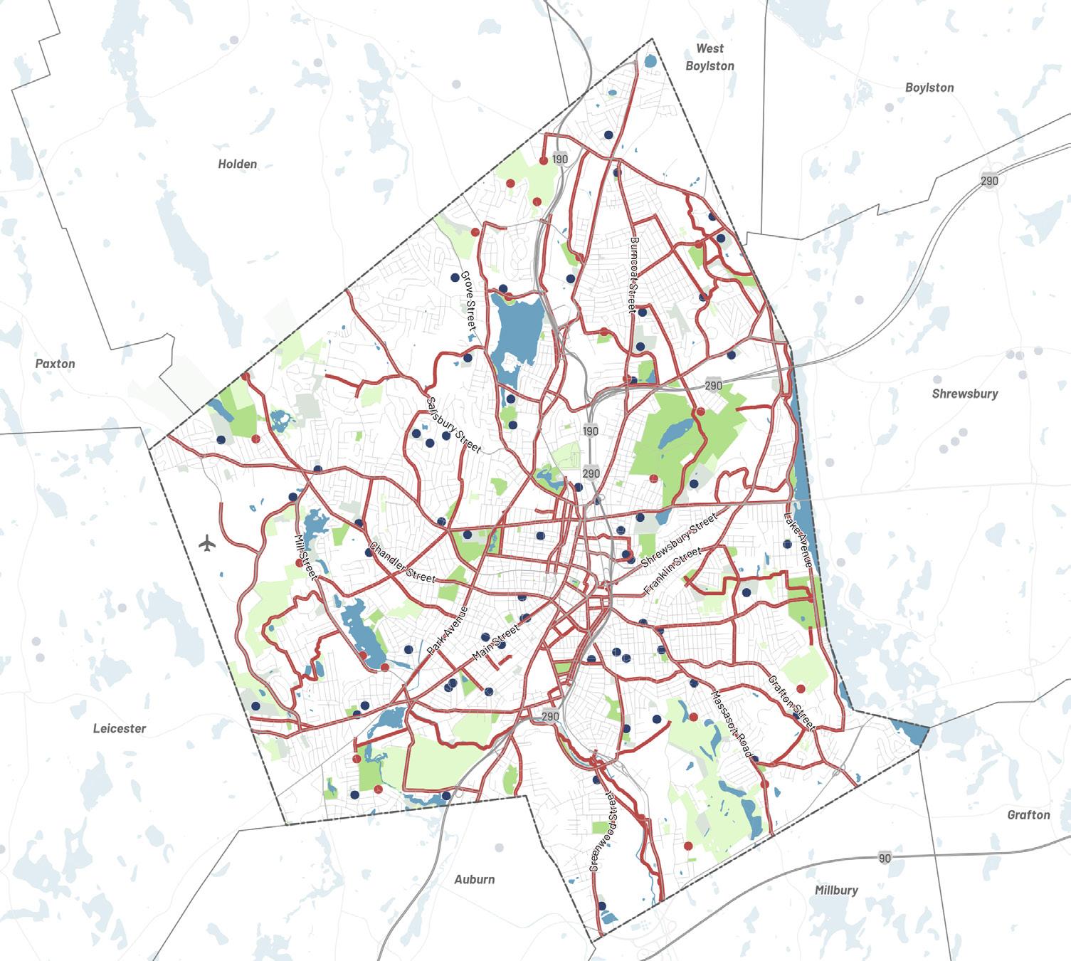
Recreation, Open Space, & Environment Recreation Access Network Vision Schools Key Open Space Access Point Bicycle Network Vision Recreation Assets Water Bodies Recreation Conservation/Cemeteries
Worcester Next City of Worcester 129
Benchmarking Park & Open Space Access
Access to parks, recreation and open space can be measured many different ways. The maps and summary statistics generated through Worcester’s Open Space and Recreation Plan (OSRP) provide helpful context for how Worcester’s parks and recreation network stacks up against other US cities and how access varies within the city.
A half mile is generally used as an approximation of walking distance. This map shows a ½ mile standard around City-owned parks and protected open spaces, overlaid with Environmental Justice (EJ) areas where high percentages of non-English speaking, foreign born, minority, and/or low-income residents live.
85% of Worcester residents are within walking distance of a park. For comparison, 97% of Boston residents are within walking distance of a park.
The OSRP survey revealed many important insights:
• A majority of survey participants drive to the Worcester parks and open space properties that they visit.
• 79.5% of respondents believe that sidewalks are important for recreation and for travel.
• Walking was consistently one of the most common recreational activities pursued in the City.
• Top park improvements preferences included:
• 51% maintenance
• 49% protecting open space
• 41% restrooms
• 36% walking/jogging paths
• 33% hiking trails
• 30% programming
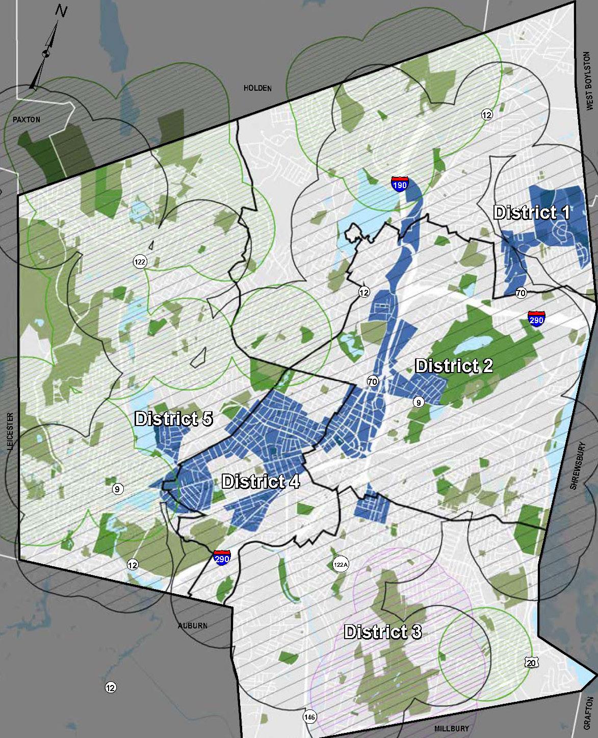
Source: OSRP, data provided by MassGIS and the City of Worcester

Council Districts

Environmental Justice Areas (Minority, Income and English Isolation)
Half Mile Access to Parkland

City of Worcester Park
Greater Worcester Land Trust Parkland
Mass Audubon Society Parkland Open Space

City of Worcester Parkland
Other Ownership
* Using 2010 Census population numbers
** This figure includes 274 acres of parkland from 3 parcels in the bordering towns of Paxton and Holden (Boynton Park, Cascades West and Kinney Woods). This total Parkland acreage includes developed and undeveloped land, that is mostly, but not exclusively available for public use.
represent the median among 10 US cities
Recreation, Open Space, & Environment Park Access Statistic Worcester National Benchmark Parkland as a % of total land 15% 11.7%* Parkland per 1,000 residents 11 acres 6.7 acres* Park Playgrounds per 10,000 residents 1.87 2.2** Parks and Recreation Department Employees per 10,000 residents 2.8 5.2** Ball Diamonds per 10,000 residents (includes softball, baseball and little league) 2.8 4*** Off-Leash Dog Parks per 10,000 residents 0 3.3**** Basketball Courts per 10,000 residents 1.4 6.6*** Swimming Pools per 10,000 residents 0.2 2.1***
high density cities
18 cities)
These
Council District Open Space Area as a % of total land Open Space Area per 1,000 residents* 1 7% 10.8 2 18% 23.0 3 15% 19.9 4 10% 4.8 5 22% 43.6 Citywide 15%** 20.4 acres National Benchmark 11.7% 6.7 acres
* These statistics represent the median for US
(out of
** These statistics represent the national median for US cities *** These statistics
****
statistics represent the average among US cities
Graphics and data in this callout are sourced from the Worcester Open Space and Recreation Plan. Worcester Next Worcester Now | Next 130
Theme 4: Sustainable & Resilient Food Systems
Multiple plans focused on equity, health, sustainability and resilience have highlighted the importance of investing in the development of a strong, sustainable, and resilient regional food system that provides city residents with access to food that is sustainably-produced, locallysourced, healthy, affordable, and culturally-appropriate. The REC Farmers Markets play a critical role in this space. Worcester can build on this foundation by integrating urban agriculture and garden plots into institutional and Cityowned properties, including open spaces.
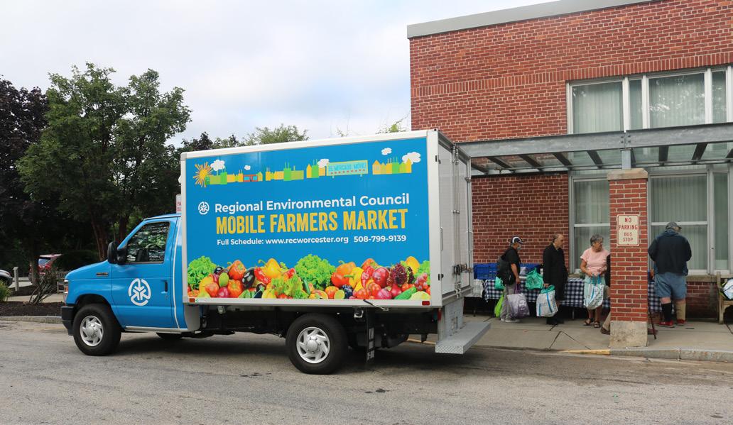
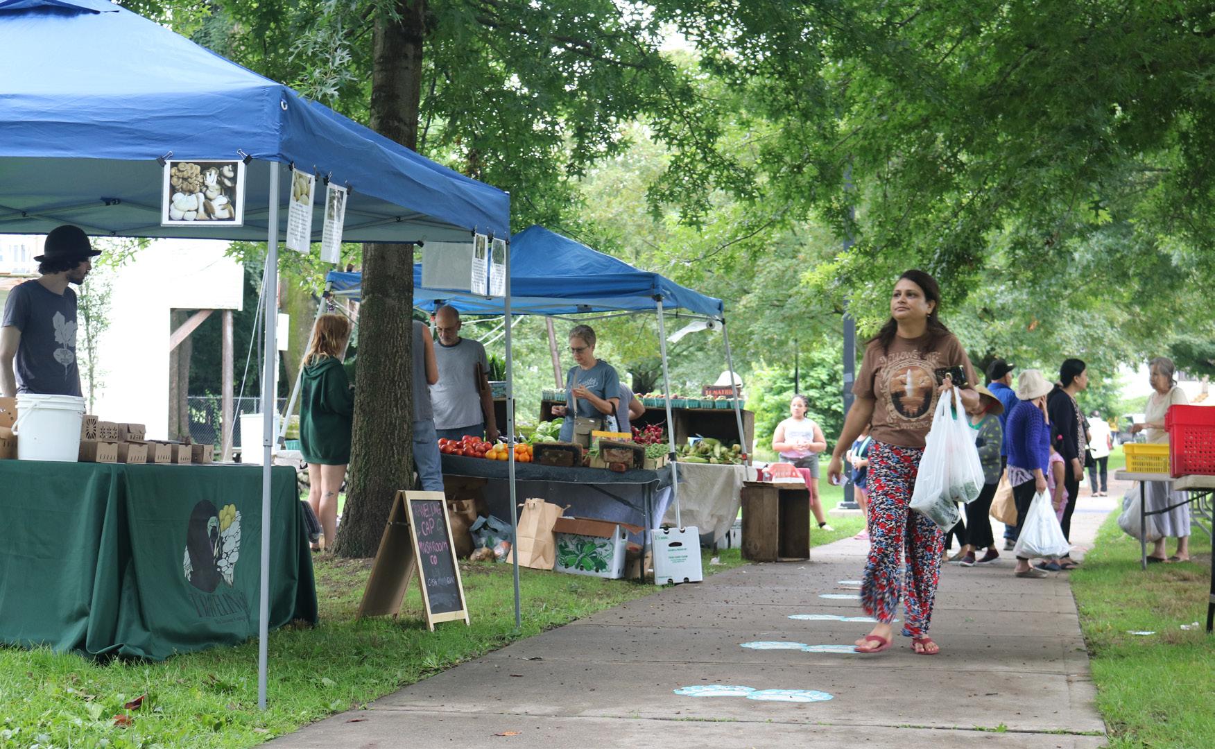
Recreation, Open Space, & Environment
Top: REC Mobile Farmers Market truck at the Worcester Senior Center.
Middle: Couple at REC Farmers Market.
Bottom: REC Farmers Market in Crystal Park.
Photo Credit: REC.
131
Worcester Next City of Worcester
Goals & Recommendations
The goals and recommendations of this plan are intended to not only reflect the themes and conclusions of these important topic-specific plans, but also to serve as the glue that holds them together and keeps them aligned with the goals and strategies across other topic areas.
To that end, future planning and investment in Worcester’s natural spaces, parks and recreation networks, and the streets that connect them should respond to conservation and recreation priorities in relationship to growth, equitable access, and climate resilience goals. This includes investment for infrastructure and design as well as programming, education, and operational considerations.
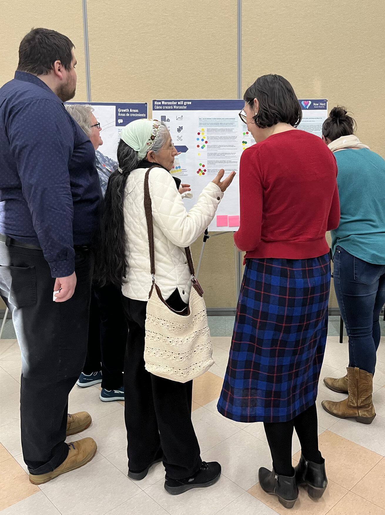
Goal 1
Link Worcester’s open spaces with a network of walking, cycling, and public transit connections.
Develop and maintain a network connecting blue and green open spaces in the city by investing in improved sidewalks, signalized crosswalks, protected bicycle infrastructure, and off-street trails that use universal design principles and are safe and comfortable for those walking, cycling, and using micro-mobility devices.
1.1: Transit Access
Partner with WRTA to ensure major citywide recreation assets are accessible via welllocated bus stops with amenities to increase comfort and safety.
1.2: New Multi-Use Connections
Link all green and blue open spaces with a system of accessible sidewalks, crosswalks, separated bike lanes, and off-street multiuse paths to enhance access opportunities for all users.
1.3: Promote Existing Trail Networks
Increase visibility and quality of existing linkages, such as the East-West Trail.
1.4: Walkable Access to Local Open Space
Pursue new connections and acquisitions where needed to establish a network of open spaces accessible within a 10-minute walk of every Worcester resident.
Recreation, Open Space, & Environment
Worcester Next Worcester Now | Next 132
Goal 2
Equitably invest in Worcester’s urban forest and green infrastructure.
Invest in the growth of a healthy urban tree canopy and expanded green infrastructure throughout Worcester for increased beauty and comfort, improved air and water quality, ecosystem and habitat continuity, and resilience to flooding and high heat.
2.1: Fund the Urban Forestry Plan
Protect and expand Worcester’s urban tree canopy by implementing the Urban Forestry Plan recommendations and expanding planning to include city-owned and private properties that were not addressed in the Urban Forestry Plan.
2.2: Resilience & Water Quality
Mitigate flooding and urban heat island effect by planting and preserving trees and improving infiltration and water quality on public lands. Prioritize areas within floodplains, combined sewer drainage areas, areas near cold-water fisheries and recreational water bodies, as well as areas near vulnerable populations and Environmental Justice areas.
2.3: Private Development Contribution
Incentivize and consider requiring all private development to use low impact design (LID) principles and contribute to improved water quality, increased stormwater retention, urban heat island effect mitigation, and improved urban tree canopy conditions.
Goal 3
Ensure equitable access and diverse programming throughout Worcester’s parks, open spaces, and recreational facilities.
Make equitable access and support for diverse activities and programs an embedded principle for open space planning, investment, maintenance, and programming.
3.1: Improve Open Space Accessibility
Improve accessibility and information on accessibility of Worcester’s blue and green open spaces for all ages and abilities, especially from Environmental Justice areas and Growth Areas.
3.2: Improve Facility Accessibility
Improve accessibility and information on accessibility of recreation and open space facilities to enhance access for all ages and abilities, especially from Environmental Justice areas and Growth Areas.
3.3: Equitable, Diverse Programming
Ensure diverse, public programming is equitably provided throughout Worcester’s open space and recreational facilities for all ages, including multi-generation and family programs. This should be integrated with and supportive of existing cultural facility programs.
Recreation, Open Space, & Environment
Worcester Next City of Worcester 133
Goal 4
Invest in the existing open space network according to conservation and recreation needs, prioritizing Environmental Justice areas and Growth Areas.
Planning and investment in Worcester’s existing parks and recreation networks should address conservation and recreation needs in relationship to growth and equitable access goals through investment in infrastructure and design as well as programming, education, and operational considerations, as documented in the City’s 2021 Open Space and Recreation Plan (OSRP).
4.1: Plan Implementation
Continue to implement the Seven-Year Action Plan from the City’s 2021 Open Space and Recreation Plan, prioritizing strategies that benefit Environmental Justice areas.
4.2: Natural Resource Conservation
Protect environmentally sensitive natural resource areas according to their conservation priority, contribution to climate resilience, and proximity to Growth Areas and Environmental Justice areas. In these areas, implement low-impact development policies that incorporate green infrastructure, flood mitigation, habitat preservation, and heat reduction strategies.
4.3: Recreation Investment
Invest in active and passive recreation assets near Growth Areas and Environmental Justice areas, including defined, low-impact access to the natural resource conservation priority areas, as identified in the OSRP.
Goal 5
Partner to equitably expand the network of quality neighborhood parks, playgrounds, and recreation facilities.
Access to recreation and open spaces is essential for public health. Prioritize the long-term health of both Worcesterites and the environment by investing in the expansion of neighborhood parks, playgrounds, and recreation facilities serving Environmental Justice areas and Growth Areas.
5.1: Capital Investment Prioritization
Establish a neighborhood recreation capital investment prioritization approach that focuses resources on upgrades and additions to existing assets that have the potential to better serve Environmental Justice areas and Growth Areas and promote sustainability and resilience goals.
5.2: Priority Acquisition Criteria
Develop priority acquisition criteria to establish and maintain a list of areas of conservation and recreation interest with an emphasis on providing connectivity, meeting the needs of underserved populations, and addressing resilience to flooding and heat waves.
5.3: Expand
Expand parks, playgrounds, and recreation facilities through acquisition and use partnerships to equitably serve Worcester’s growing and diverse population.
5.4: Community Stewardship
Partner to establish an open space stewardship program (e.g. "Love Your Park" in Philadelphia) that combines private sponsorship and public participation to improve maintenance and caretaking of neighborhood recreation assets.
Recreation, Open Space, & Environment
Worcester Next Worcester Now | Next 134
Goal 6
Support the expansion and improvement of local food systems for the benefit of everyone in Worcester.
Invest in, and partner with, organizations that support the local and regional food systems that Worcester is part of — from the urban garden scale to the regional agriculture scale — in order to support equitable and reliable access to fresh produce.
6.1: Grocery Stores
Monitor access to full-service grocery stores and work with partners to introduce programs that address gaps in grocery store coverage.
6.2: Fresh Produce Access
Continue to expand access to fresh produce for lower income residents who may be food insecure or at risk of food insecurity through flexible and mobile strategies.
6.3: Local Food Products
Invest in policies, programs, and facilities that support a robust supply chain and market viability for local and regional food products.
6.4: Urban Farms & Gardens
Continue to grow the regulatory, financial, and operational supports for urban farming and community gardening.
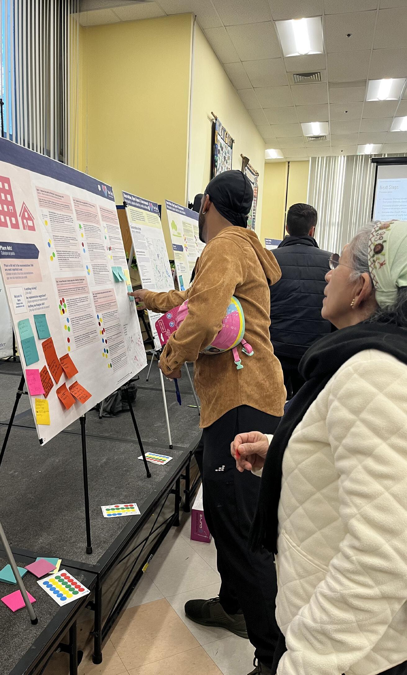
Recreation, Open Space, & Environment
Worcester Next City of Worcester 135
Economic Opportunity
Issues & Opportunities
Worcester’s metro region is the state’s second-fastest growing economy, but job growth has not kept pace with population growth and members of historically marginalized communities are not sharing equally in the City’s prosperity.
The economic opportunity needs of Worcester can be seen through the lens of two top issues:
1: Worcester is on an “Eds & Meds” trajectory with high growth potential; and
2: High-paying jobs in Worcester are disproportionately held by white residents, exacerbating earning disparities.
“Eds & Meds” Trajectory with High Growth Potential
Even in the context of a state known for its resilient knowledge economy and educated workforce, Worcester is a pronounced hub for healthcare, education, and the associated research and development sector. Nearly half of Worcester’s workforce is employed in health or education as compared to only about 30% in Massachusetts overall. This large “eds and meds” sector provides high quality jobs and bolsters opportunities for innovation at the intersection
of academic and healthcare institutions and private businesses. Strengthening partnerships between institutions and the private sector is particularly important for Worcester, as the city has a relatively small professional and technical services sector and has lagged behind other Massachusetts cities in employment over the past decade. Since 2010, Worcester’s overall employment grew by just 2%, owing in part to the COVID-19 pandemic.
Economic Opportunity
Worcester Next Worcester Now | Next 136
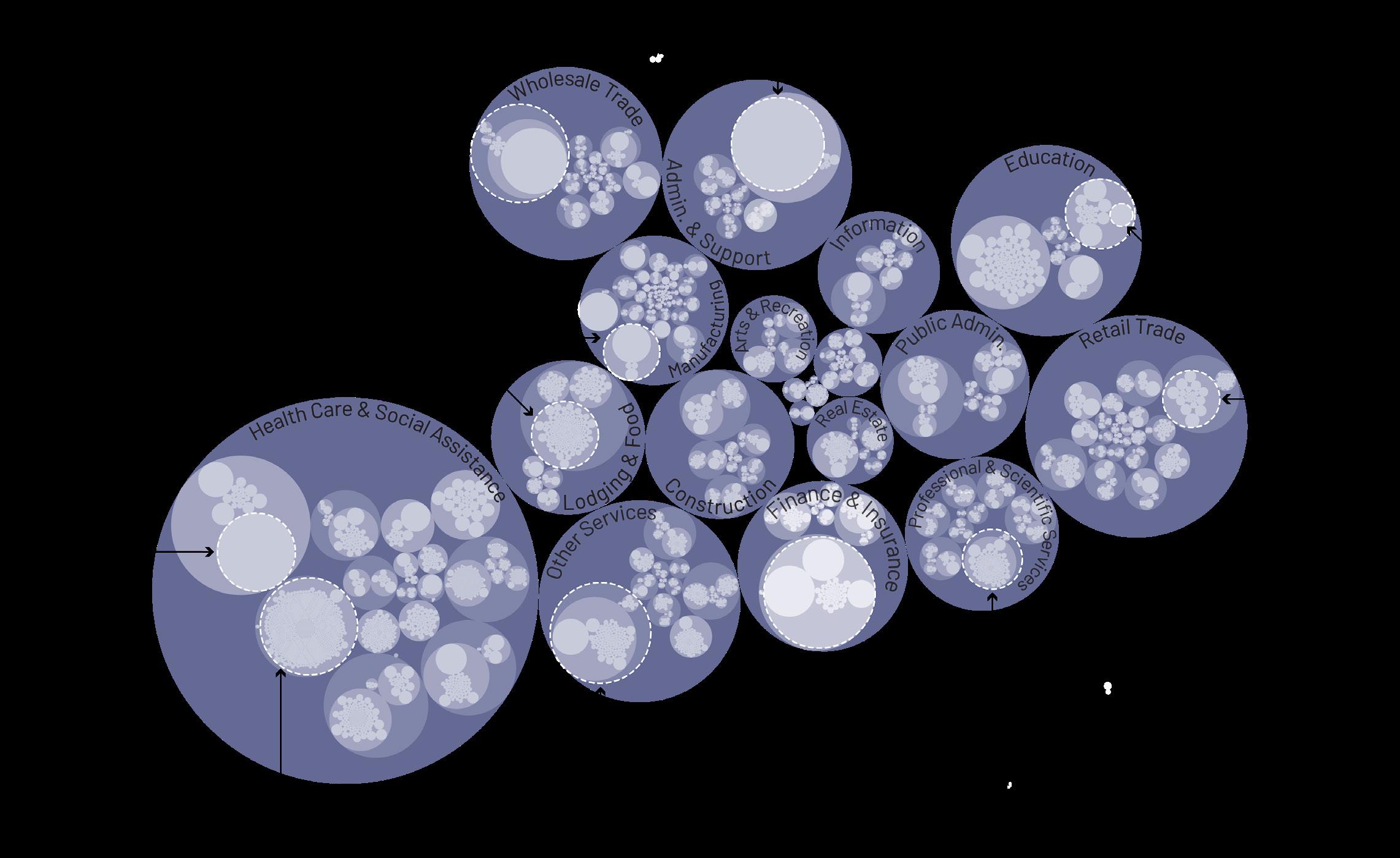
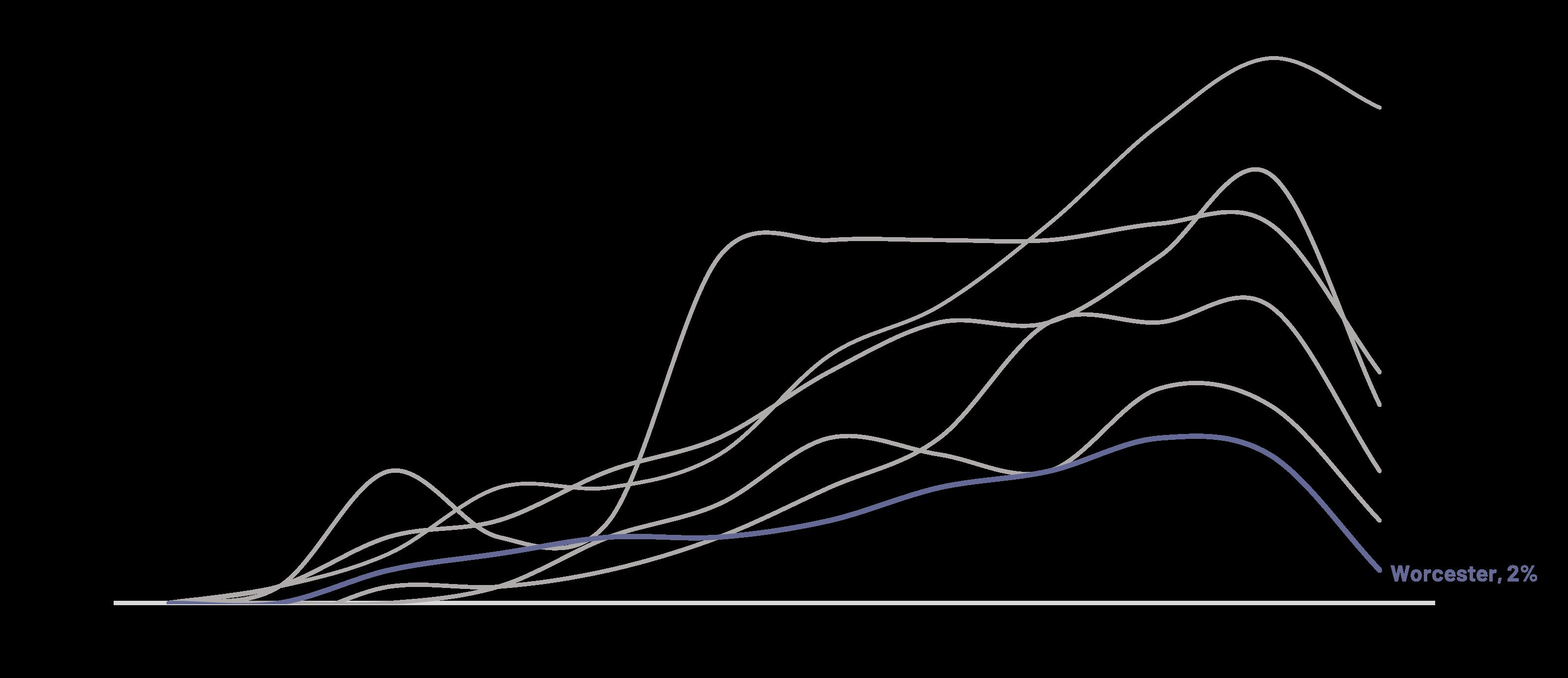
% Change in Total Employment Since 2010, Source: Current Employment Statistics (CES-790) dated 2021, sourced from mass.gov.
Economic Opportunity
Worcester Businesses by Number of People Employed, Souce: North American Industry Classification System (2022)
Worcester Next City of
137
Worcester
What is Worcester already doing that is increasing access to living-wage jobs for all?
“Fare-free WRTA”
In-Person Public Workshop 1
“Food Hub is a great example of a small-business incubator”
In-Person Public Workshop 1
“DEI requirements for city developments”
In-Person Public Workshop 1
What do you hope will change about the types of jobs available in Worcester in the future?
“Lots of crafts-type jobs available, lots of manufacturers, not just a service oriented city”
In-Person Public Workshop 1
“Great healthcare employment opportunities”
In-Person Public Workshop 1
“The amount of high tech jobs in the area”
Public Workshop 1
What do you think Worcester can do to increase access to living-wage jobs in Worcester for all?
“Enforce TIF Hiring requirements”
In-Person Public Workshop 1
“Focus on helping small businesses like on Grafton St—grants for them to invest in storefronts, etc.”
In-Person Public Workshop 1
“Provide or fund training programs for local women/ minority contrators to be able to bid on large projects”
In-Person Public Workshop 1
What do you hope will change about the types of jobs available in Worcester in the future?
“More skilled light manufacturing positions”
In-Person Public Workshop 1
“Programs to start and keep our own businesses”
In-Person Public Workshop 1
“I hope that we will do more to encourage and support new small businesses”
1
The recent growth and increase in residential and commercial development in Worcester has been beneficial for me, my family, and my neighbors.
45% Agree, 27% Disagree, 26% Pass (n=504)
I like the idea of enacting policies and programs that help build a diversified job market in Worcester with opportunities for all.
74% Agree, 6% Disagree, 18% Pass (n=491)
Polis Surveys
Economic Opportunity
Virtual
Worcester Next Worcester Now | Next 138
Virtual Public Workshop
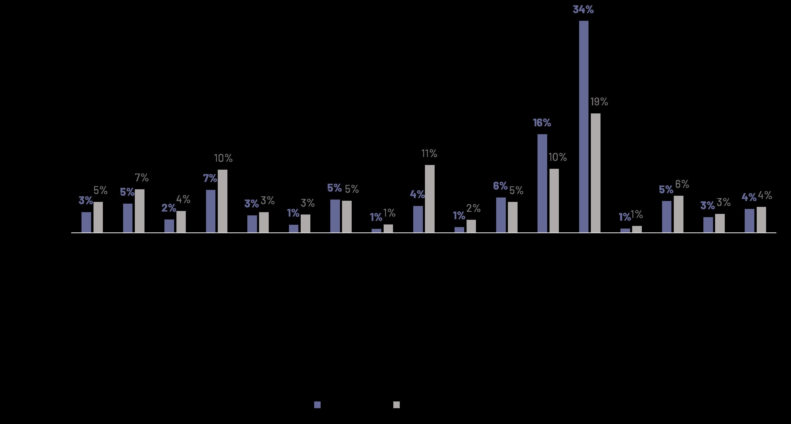
Job Market is Reinforcing Income Inequality and BIPOC Earning Disparities
Worcester’s job market is exacerbating inequality between white and BIPOC residents. BIPOC workers make up 25% of Worcester County’s workforce, but they are disproportionately represented in jobs paying less than $50,000 per year (such as transportation, administrative support, and accommodation and food services). The concentration of BIPOC workers in lowerpaying industries is exacerbating the significant income disparities across racial groups in Worcester. White Worcesterites earn 21% more than the overall per capita income for Worcester,
while Black residents earn 22% less and Hispanic/Latino residents earn 35% less.
Going forward, it will be important for Worcester to cultivate a range of living-wage jobs and workforce development programs across diverse sectors of the economy as well as a stronger support system for entrepreneurship to help counteract the polarization and inequity associated with the current “meds and eds” economy.
Economic Opportunity
% of Workforce by Sector, Source: Current Employment Statistics (CES-790) dated 2021, sourced from mass.gov.
Worcester Next City of Worcester 139
Percent of Industry Workforce Identifying as BIPOC (Worcester County)
BIPOC % of Workforce in Worcester County by Industry,
Source: Current Employment Statistics (CES-790) dated 2021, sourced from mass.gov; Lightcast (formerly EMSI) Industry statistics dated 2021. BIPOC workers include those who identify as Hispanic or Latino, Black or African American, American Indian or Alaska Native, Asian, Native Hawaiian or other Pacific Islander, and two or more races.
% Difference in Overall Per Capita Income by Race, Source; ACS 2020 5-Year
Economic Opportunity Finance and Insurance Professional & Scientific Services Utilities Real Estate and Rental and Leasing Management of Companies Wholesale Trade Information Construction Manufacturing �n��stries �it� ��ove �vera�e �arnin�s� 14% 19% 16% 18% 19% 18% 18% 18% 26% 22% 30% 38% 34% 25% 24% 13% 30% 0% 5% 10% 15% 20% 25% 30% 35% 40% Educational Services Health Care & Social Assistance Administrative & Support Transportation & Warehousing Other Services Retail Trade Arts, Entertainment, & Recreation Accommodaation & Food Services 21% -35% White Alone, Not Hispanic or Latino 45% 8% 0% 74% 55% 41% 46% 49% 52% -22% -27% -30% -37% -19% -56% -37% -45% -42% -32% -3% -33%-31% Hispanic
Latino Black or African American 0% 20% 40% 60% 10% -10% -20% -30% -40% -50% -60% 30% 50% 70% Percent Difference From Overall Per Capita Income Worcester Bridgeport Hartford New Haven Stamford Boston Springfield Providence
or
Worcester Next Worcester Now | Next 140
Goal 1
Support neighborhood-scale commerce and local entrepreneurship.
Enable and support diverse neighborhoodscale commerce, small businesses, and entrepreneurship that contribute to community wealth-building, neighborhood stabilization, and quality of life along neighborhood commercial corridors.
1.1: Supportive Zoning
Reform the zoning code, including overly burdensome parking requirements, to allow, incentivize, and support sustainable neighborhood-scale commerce.
1.2: Active Ground Floor Uses
Update zoning to encourage creative, active ground floor uses that support residential, worker, and visitor use.
1.3: Technical Assistance & Financing
Centralize services and promote broad access to technical assistance and financing mechanisms that help offset costs for firsttime, low-income, and immigrant business owners, including those with limited English proficiency and encourage certification for Minority Business Enterprises (MBEs) and Women Business Enterprises (WBEs).
1.4: Mitigate Displacement
Proactively prevent displacement of existing Worcester based small businesses during periods of disruption and redevelopment, especially in identified Growth Areas.
1.5: Retail & Service Industry Diversity
Explore the composition of uses in commercial nodes and better understand gaps in existing businesses, services, and amenities to identify uses that anchor neighborhood commercial nodes and cultivate a complementary, mutually supportive mix of land uses.
1.6: Invest In Access & Public Realm
Invest in enhanced infrastructure, public realm, and multimodal transportation access to neighborhood centers and corridors.
1.7: Promote Local Businesses
Partner with business owners and entrepreneurs to promote local products and services and activate local commercial districts.
1.8: Neighborhood Business Improvement Districts (BIDs)
Explore if and where the formation of neighborhood center BIDs may be helpful to advance economic opportunity recommendations 1.1 – 1.6.
Economic Opportunity
Worcester Next City of Worcester 141
Goal 2
Welcome a balance of industries that provide livingwage jobs to all.
Invest in balanced growth of industries that contribute meaningfully to the growth of living-wage jobs through modern land use regulations, development partnerships, and strategic recruitment.
2.1: Commercial & Industrial Land Preservation
Preserve sufficient land area under future zoning reform for commercial and industrial uses to enable further job creation.
2.2: Brownfield Redevelopment
Partner with private industry, development organizations, and state and federal government to responsibly redevelop underutilized industrial areas and brownfields as centers of green economic activity and well-paying jobs.
2.3: Employer Recruitment & Support
Continue to recruit and support the growth of private employers that provide well-paying jobs by offering professional development and advancement opportunities for residents with lower educational attainment.
Goal 3
Support streamlined and accessible workforce development resources for all.
Partner with anchor employers and institutions to invest in regionally relevant job training and workforce development for all ages, abilities, and career stages.
3.1: Central Access Point
Continue to invest in MassHire Central as a simplified, central access point for Worcester workforce development resources.
3.2: Specialized Programs
Prioritize and enhance workforce training programs for veterans, the formerly incarcerated, immigrants, refugees, and youth.
3.3: Multilingual Programs
Partner with multilingual service providers and organizations serving low English proficiency populations to improve accessibility and delivery of multilingual workforce development services.
3.4: Senior & Disability Programs
Partner with existing service providers to create multi-generational free or lowcost continuing education and technology training resources to address the digital divide and credential gaps especially for seniors and people with disabilities.
3.5: Green Jobs
Attract green jobs and expand training opportunities for green jobs to Worcester’s workforce.
Economic Opportunity
Worcester Next Worcester Now | Next 142
Goal 4
Attract, support, and retain a diverse workforce.
Design and implement policies and programs that both enable and incentivize the development of infrastructure, spaces, amenities, and educational institutions that meet the needs of the workforce (and employers) of today and into the future.
4.1: Strengthen School Connections
Partner with the Higher Education Consortium of Central Massachusetts (HECCMA) and area middle and high schools to cultivate stronger relationships with local industries and employers.
4.2: Invest In Quality Of Life
Partner with anchor employers and institutions to invest in quality of life services and amenities to benefit the Worcester community.
4.3: Marketing & Recruitment Materials
Develop marketing materials for recruitment of employers and employees that position Worcester as a diverse and culturally vibrant city that can deliver a higher quality of life at a lower cost of living than its competitors.
Goal 5
Continue to cultivate a vibrant downtown.
Continue to invest in the infrastructure and programs to cultivate a vibrant downtown, both within and beyond the conventional 9 – 5 workday.
5.1: Plan Implementation
Continue to implement aspects of the 2016 Downtown Urban Revitalization Plan (URP) that are aligned with Worcester Now | Next.
5.2: Neighborhood Connections
Enhance connections from downtown to neighborhood commercial corridors (especially where highways or other infrastructure disrupt continuity) through physical infrastructure improvements, lighting, arts installations, and programming that improve visibility, comfort, and safety for those walking, biking or using micro-mobility devices.
5.3: Resident-Oriented Ground Floor Uses
Encourage creative, active ground floor uses that meet the needs of downtown residents.
5.4: Support The Business Improvement District (BID)
Continue to support the Downtown Worcester Business Improvement District (BID) and its initiatives.
5.5: Programming
Continue to encourage development of and participation in diverse, yearround programming (such as activities, installations, celebrations, and markets) to encourage gathering, activation of public spaces, pride, and awareness.
Economic Opportunity
Worcester Next City of Worcester 143
Culture & Creativity
Issues & Opportunities
As Worcester embraces a growing population and changing economy with an ever growing diversity of identities, heritage, and ideas, culture and creativity are the glue that holds it all together and allows for healthy and compassionate evolution.
With this in mind, culture and creativity have a role to play in every aspect of Worcester Now | Next and are best when they are embedded and integral to a wide variety of initiatives focused on pressing issues Worcester faces as a community. Culture and creativity are critical to continue to cultivate a diverse, inclusive, and cohesive Worcester and play a key role in driving authentic and innovative economic development. By creating inclusive shared spaces, investing in existing cultural institutions, and grounding community work in the city’s unique identity and rich and complex history, we can shine a spotlight on all that Worcester offers through the lens of previously untold stories.
“We are a proud city of neighborhoods, makers, artists, and immigrants with traditions that make us a city of creative community engagement. Arts and culture brings our city to life, helps us vision and experience the world in new ways, provides healing and gives voice to all… [The arts are] not just nice, but necessary for Worcester to thrive and evolve into a truly creative city.”
The Worcester Cultural Plan, completed in 2019, provided a roadmap to prioritize arts and creativity in Worcester by embedding creativity in the design of our streets and public places, centering arts and culture in education and youth engagement, supporting neighborhoods through celebration and creative entrepreneurship, and supporting cultural organizations, artists and neighborhood cultural centers.
The Cultural Plan laid out a vision of Worcester as:
• A city with strong physical and social cohesion that enables ease of movement for people of all ages, abilities, and means;
• A city that supports innovation and entrepreneurship, learning, and cultural opportunities for all;
• A city that reflects its heritage, its diverse cultures, and new ideas in its public spaces, downtown, natural and built environments, and in its neighborhoods;
• A city where daily life is supported by local commerce, services, and activities related to the diverse traditions, creative expressions, and collective celebrations of all its people.
Culture & Creativity
Worcester Next Worcester Now | Next 144
Opening Letter of Worcester’s Cultural Plan
This vision of the Cultural Plan is further elaborated by the following Cultural Plan goals:
• Old and New Worcester—The city’s Unique Identity
Craft, foster, and project a healthy and vibrant image that is meaningful to everyone who lives, works or visits; an identity that recognizes the city’s history and 300th anniversary.
• Public Space Design and Activation
Infuse the city with attractive, active, accessible, and connected public spaces that incorporate and support multiple and diverse forms of mobility, ways of life, and cultural and creative expressions.
• Cultural Equity, Access, and Inclusion
Embrace and foster cultural and creative expression, ways of life, and cultural activity and organizations meaningful to all residents (present and future) while providing equitable opportunities and access to resources.
• Youth, Education, and Family Engagement
Prepare and embolden future generations of leaders and active participants in cultural, civic, and entrepreneurial dimensions of the city while fostering greater involvement of families in cultural and civic activities.
• Creativity and Innovation
Recognize and support artists, creatives, and creative businesses as key to the city’s economic, intellectual, and cultural development, providing resources and an environment supportive of their creative explorations, and incorporating arts and creative thinking across sectors and professional areas.
These goals are interwoven into the Worcester Now | Next goals and recommendations for culture and creativity based on how the Cultural Plan goals intersect with issues of land use, zoning, and development as well as how they intersect with the other topic areas addressed in the citywide plan policy guides.
Goal 1
Celebrate Worcester’s diversity.
Continue to prioritize, value, and celebrate diversity in Worcester through resource allocation, leadership positions, public space design, programming, and investment in real estate development and economic activities in the city.
1.1: Community-Led Programming
Facilitate and continue to foster the development of diverse, community-led programming in Worcester’s public and institutional spaces.
1.2: Promotion
Collect stories and develop promotional materials to lift up the work and cultural contributions of diverse entrepreneurs, artists, community leaders, and communitybased organizations.
1.3: Public Space Design
Involve diverse community members and artists in the design of shared public spaces and commemorative installations with the intention to embed a broader range of aesthetic preferences and cultural references in shared spaces.
1.4: Diverse Leadership
Use City funding and policies as leverage to actively promote and reward leadership diversity that is fully representative of the community on local non-profit boards, community coalitions, and other community organizations.
Culture & Creativity
Worcester Next City of Worcester 145
Goal 2
Cultivate a thriving arts and creative economy.
Invest in the spaces, organizations, and people that carry on Worcester’s legacy of creativity and innovation in the arts, industry, and academia.
2.1: Public Art
Expand public art opportunities and resources for installations and artist-led events.
2.2: Support Creative Enterprises
Increase financial resources, technical assistance, and promotional support for creative enterprises.
Goal 3
2.3: Live-Work
Reform zoning to facilitate development of artist live-work spaces, including those with public-facing, income-generating uses.
2.4: Arts-Based Education
Promote increased arts-based education opportunities within schools and public programming.
Support preservation of buildings, sites, and districts that tell the stories of Worcester’s diverse communities.
Develop a historic preservation approach that encourages creative adaptive reuse of historic buildings, sites, and development patterns to promote awareness of and engagement with Worcester’s diverse communities and their stories.
3.1: Capacity
Increase staff capacity and shift operational procedures to lead innovative preservation initiatives and ensure development and maintenance of enforcement and accountability mechanisms.
3.2: Design Guidelines
Develop design guidelines tied to zoning and historic preservation that ensure characterdefining historic features are preserved in renovations (e.g. porches, entrances, and entablatures).
3.3: Adaptive Reuse
Develop policies, educational resources, and processes and expand assistance to enable access to financial incentives, to facilitate well-informed adaptive reuse of existing buildings over demolitions.
3.4: Untold Stories
Work with community members, community organizations, colleges and universities, local historians, and architectural historians to identify community histories that are not well-represented in the existing historic inventory, districts, and archives, and identify ways to document, preserve, and celebrate those histories.
3.5: Promotion & Storytelling
Increase promotion, wayfinding, and signage efforts to tell Worcester’s diverse and complex stories in a cohesive way.
3.6: Education
Increase community awareness of the importance of historic preservation in not only protecting the history of Worcester and the voices of its people as represented in the built environment, but also in encouraging adaptive reuse strategies that are better for the environment.
Culture & Creativity
Worcester Next Worcester Now | Next 146
Goal 4
Create a supportive city for all ages and abilities.
Invest in infrastructure and services that support people throughout all phases of their lives to create an accessible, multi-generational, familyand age-friendly city.
4.1: Youth Support
Continue to invest in facilities and programs that provide enriching and meaningful activities, safe social gathering spaces, learning and mental health support, and homelessness prevention for youth.
4.2: Aging In Place
Continue to work with the Worcester Senior Center and other partners to promote an age-friendly city that supports aging in place with dignity and agency.
4.3: Multi-generational Connections
Promote accessible multi-generational spaces and programs that help to build relationships and foster genuine connections across generations.
4.4: Events Calendar
Amplify the Discover Central Mass centralized events calendar, ensure municipal events are represented on that calendar, and improve community member awareness of and access to this resource in order to better publicize free and public events for all ages and abilities.
Culture & Creativity
Worcester Next City of
147
Photo Credit: Discover Central Mass
Worcester
Infrastructure, Services, & Facilities
Issues & Opportunities
A core function of citywide long-range plans like this one is to provide a coordinated framework for growth and investment that keeps land use and zoning in lockstep with the capital investment and operations for infrastructure, facilities, and services—including utilities, waste management, emergency services, and educational and social services. While each of these areas of infrastructure, facilities, and services have their own more detailed plans to address their respective technical and operational nuances, this plan is the structure that keeps them in alignment with one another and in alignment with the vision for how and where Worcester will grow. The same is true for transportation and mobility infrastructure and operations as well as the facilities and services embedded in Worcester’s parks and recreation network.
As Worcester faces the impacts of climate change and the possibility of sustained growth at the pace that has been experienced over the past decade, the community’s needs are beginning to reach the limits of the city’s aging utility infrastructure. In order to position Worcester for responsible growth that is sustainable, resilient, and equitable the City needs a clear understanding of the capacity and vulnerabilities of critical infrastructure like sewer and stormwater systems, electrical grid, water supply system, and cable and internet networks. Once the gaps and needs are clear, it will become possible to develop the coalitions, partnerships,
and funding approaches needed to close those gaps and to ensure Worcester’s infrastructure, facilities, and services meet.
Beyond the urgent need to chart a course to right-size, modernize, and future proof Worcester’s utility infrastructure, there is also a need to address shortcomings of municipal waste management and litter reduction programs. Worcester is already confronting the reality of aging public buildings that will require reinvestment and reimagining to meet the evolving needs of the Worcester of today and tomorrow.
Infrastructure, Services, & Facilities
Worcester Next Worcester Now | Next 148
Goal 1
Goal 2
Improve trash and recycling pickup policies and programs. Increase the options and improve the quality and affordability of internet services.
Invest in the policies, operational protocols, infrastructure, incentives and education necessary to better manage Worcester’s waste in order to keep public spaces clean and reduce the volume of waste going to landfills.
1.1: Less Litter
Continue to develop policies and systems to reduce the presence of litter in public streets and spaces.
1.2: Zero Waste
Develop and implement a Zero Waste Master Plan, including promotion of household and business composting to decrease food-waste.
1.3: Clear Sidewalks
Develop protocols, sanitation worker training, and property owner education system to prevent blockage of sidewalks by bags and bins.
1.4: Public Awareness & Behavior
Develop educational, volunteer, and stewardship programs to increase public awareness and commitment to efficient and environmentally conscious waste management practices.
Partner with service providers, institutions, and the Municipal Broadband Task Force to increase access to quality, affordable internet service in Worcester.
2.1: Free Public WiFi
Continue and expand free WiFi offerings in public spaces, such as parks, community centers, and libraries throughout the city.
2.2: Broadband Access
Continue partnership with the Municipal Broadband Task Force to improve broadband access and service quality.
2.3: Infrastructure Access
Partner with service providers to upgrade infrastructure and service reliability in coordination with streetscape projects.
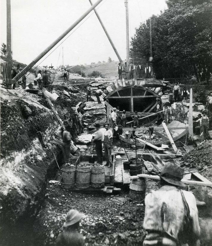
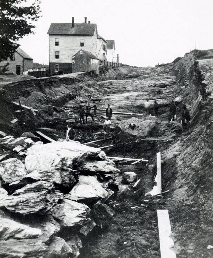
Infrastructure, Services, & Facilities
Two photos of construction on the Island Sewer during a previous period of growth for Worcester.
Worcester Next City of Worcester 149
Source: Worcester Historical Museum.
Goal 3 Goal 4
Right-size and modernize Worcester’s water, sewer, and stormwater infrastructure.
Assess and upgrade the capacity of Worcester’s water, sewer, and stormwater infrastructure to support the environmental and development goals of the city.
3.1: Assess Water, Sewer, and Stormwater Capacity & Demand
Evaluate existing capacity constraints, future capacity needs, and priority areas for improvement of the stormwater, wastewater, and water supply systems and prioritize implementation of improvements in Environmental Justice, repetitive loss, floodplain, combined sewer areas, and Growth Areas.
3.2: Stormwater Management Standards
Increase private development stormwater management standards for detention, treatment, and infiltration to reflect anticipated climate change impacts and improve water quality. Work to improve processes for compliance and monitoring during permitting and construction.
3.3: New Development Projections
At the development review stage, require all development to provide sewer and water usage projections in comparison to the existing capacity of affected systems.
3.4: Management & Maintenance
Invest in improved management and maintenance of systems and activities for the existing stormwater and combined sewer systems to improve water quality, ensure system functionality, and help mitigate flooding, including adequately resourcing pro-active monitoring and enforcement for compliance.
Partner to improve and expand Worcester’s electrical infrastructure.
Partner with private electrical utility companies to ensure Worcester’s electric infrastructure is modernized to improve reliability, match demand, support renewable energy generation, and ensure resilience to shocks and stressors.
4.1: Assess Electrical Capacity & Need
Partner with electrical utility companies to assess current capacity, system vulnerabilities, and future demand relative to projected regional growth, integration of renewable energy, and emerging electric power use trends.
4.2: Invest In Reliability & Resilience
Partner with electrical utility companies to invest in reliability, redundancy, and resilience upgrades, including preparation for increased use of renewable energy and micro-grids. Support the utility efforts to make the electric grid “smarter” and more able to manage diverse electrical loads.
4.3: Mobility Electrification
Partner with electrical utility companies to prepare the electric grid for increased demand and service delivery needs for electric vehicles and micro-mobility devices.
4.4: Expand Renewables
Continue expanding the percentage of default renewable electricity in the Community Choice Aggregation Plan to reach 100% community-wide by 2035.
Infrastructure, Services, & Facilities
Worcester Next Worcester Now | Next 150
Goal 5 Goal 6
Modernize the City of Worcester’s facilities and operations to achieve resilience and net zero emissions energy efficiency targets.
Pursue the capital investments and operational changes needed to achieve net zero and resilience to flooding and high heat for the City of Worcester’s facilities and operations (e.g. the City’s vehicle fleets, buildings, and school meals program).
5.1: Net Zero By 2030
Increase energy efficiency and renewable energy use for all City of Worcester facilities and operations to achieve net zero by 2030.
5.2: Resilience Investments
Implement resilience retrofits and operations plans for all City of Worcester facilities and operations to address flooding, high heat, and other climate change related risks and stressors.
Continue to invest in core City of Worcester services and facilities in alignment with the Growth Framework.
Continue to monitor and plan for necessary upgrades, expansions, and modernization of core City of Worcester services and facilities that will have to scale up and adjust based on projected growth in population and jobs.
6.1: Improved DPW Facility
Explore alternative sites for a modern Department of Public Works facility.
6.2: Coordinated Street Resurfacing
Coordinate condition assessments and improvements for street resurfacing with safety and utility improvements, prioritizing investments within Growth Areas.
6.3: Schools
Continue to invest strategically in Worcester Public School facilities that are serving areas of greatest need and growth.
6.4: Cultural & Recreational Facilities
Continue to invest strategically in Worcester’s cultural and recreational facilities that are serving areas of greatest need and growth.
6.5: Fire & Emergency Management
Continue to invest in anticipated fire and emergency management services needed to serve Growth Areas.
6.6: Resilience Facility Access
Partner with WRTA to ensure citywide cooling and warming centers are accessible via welllocated bus stops with amenities to increase comfort and safety.
Infrastructure, Services, & Facilities
Worcester Next City of Worcester 151
Implementation
Implementation of a long-range citywide plan like this one relies on widespread understanding and commitment to advance the vision through collaborations and partnerships. This plan is a commitment to one another to chip in and all pull in the same direction towards a shared vision. To that end, this chapter lays out the interdependent and complementary roles of Worcester community members, partner institutions and organizations, and the City of Worcester in advancing the many worthwhile goals and recommendations embedded in this plan.
Your Role
While municipal departments such as the City of Worcester’s Executive Office of Economic Development and Department of Transportation and Mobility will be the primary shepherds guiding implementation of this plan, these departments have limited capacity–both in terms of staff and funding–and must therefore focus their efforts on the aspects of this plan that can only be addressed by the City (like an overhaul of the City’s zoning and initiation of neighborhood- and districtscale planning efforts in identified Growth Areas). The City will need to rely on the advocacy, leadership, initiative, and work of community members and partner institutions that share the vision of Worcester Now | Next to push implementation forward from every corner of Worcester.
Here are some of the ways that residents and partners can play a role in implementing this plan:
1: Support for departmental capacity
Over the past three years, the City of Worcester has made significant commitments in developing departmental capacity to carry out its vision, goals, and plans through the creation of the Department of Sustainability and Resilience and Department of Transportation and Mobility. Building capacity within those departments as well as other related departments - including Inspectional Services, the Planning & Regulatory Services Division within the Executive Office of Economic Development, and the Department of Public Works & Parks - in a fiscally responsible way that recognizes the many competing interests, needs and priorities each year will take time. Growing the capacity of these departments is particularly timely with the implementation
Implementation
Worcester Next Worcester Now | Next 152
of Worcester Now | Next. This process has made clear that additional resources are necessary for these departments and divisions. The Inspectional Services Department and the Planning & Regulatory Services Division are responsible for guiding and regulating development in the city and have been stretched thin as they have worked to manage the increased volume and pace of development. In order for implementation to be successful and completed on-time, these departments need adequate staffing and funding to implement changes to development norms and enforce compliance.
2: Stay engaged and guide others
As the City begins to advance the six top-priority City-led actions, stay engaged and continue to remind others that these actions are grounded in two years of community process and in-depth analysis and consideration of the issues, opportunities and trends Worcester must navigate over the next decade. Help us keep the conversation focused and constructive and hold space to listen to fellow community members as we get into the next level of detail and begin to grapple with trade-offs and tensions in more tangible and relatable ways.
3: Pick goals and recommendations you can chip in on
In the next section, we have outlined the six top-priority City-led actions that the City is committing to advance in the next 3 – 5 years. Collectively, the six identified actions will have widespread impacts across every topic area of this plan and will provide the foundation necessary to advance many goals and recommendations. However, many goals and recommendations can be advanced independently and simultaneously through the collaboration and partnership of other City departments as well as community members and partner institutions. Scan through the goals and recommendations to find a few that resonate and you are invested in. Use this plan as a guide to push that aspect of the plan forward using the perspective, skills, capacity, and leverage that you have to offer.
Wondering how the various topic areas and aspects of the plan relate to the City of Worcester departments? Here’s a quick guide:
Growth Framework
• Executive Office of Economic Development, Division of Planning & Regulatory Services
Housing
• Executive Office of Economic Development
• Inspectional Services Department
• Department of Health & Human Services
• Department of Sustainability & Resilience
Transportation & Mobility
• Department of Transportation and Mobility
• Department of Sustainability & Resilience
• Department of Public Works & Parks
• Executive Office of Economic Development, Division of Planning and Regulatory Services
• Department of Health & Human Services
Recreation, Open Space & Environment
• Department of Public Works & Parks
• Executive Office of Economic Development, Division of Planning and Regulatory Services
• Department of Sustainability & Resilience
• Department of Health & Human Services
Economic Opportunity
• Executive Office of Economic Development
• Department of Health & Human Services
Culture & Creativity
• Executive Office of Economic Development, Cultural Development Division
Infrastructure, Services & Facilities
• Department of Transportation & Mobility
• Department of Public Works & Parks
• Executive Office of Economic Development
• Department of Sustainability & Resilience
• Department of Public Facilities
• Worcester Public Schools
• Department of Emergency Communications and Management
• Fire Department
Implementation
Worcester Next City of Worcester 153
The City’s Role
Prioritization Approach
For the next 3 – 5 years, the following six toppriority early action items should be the primary focus of the City of Worcester’s Executive Office of Economic Development, Department of Transportation & Mobility, and Department of Public Works:
1: Complete & Implement the Mobility Action Plan (MAP)
2: Implement Pre-Overhaul Zoning Changes
a. Legalize ADUs By-Right Citywide
b. Reduce Off-Street Parking Requirements
Where Appropriate
c. Reform Tree Protection Requirements
3: Develop a Housing Production Plan
4: Advocate for Departmental Implementation Capacity
5: Conduct Infrastructure Capacity & Need Assessments
6: Initiate a Comprehensive Citywide Zoning Overhaul
Once these six top actions have been completed, the Now | Next plan should be revisited and the remaining recommendations should be prioritized for implementation. In the meantime, other departments and community partners should use the plan framework, headlines, and topic-specific policy guides as a resource to ensure alignment with Now | Next for parallel and coordinated implementation efforts.
City-Led Early Action Items
These top-priority City-led early action items are listed roughly in order of the expected sequence of implementation. Most are already underway in some form.
1: �Complete & Implement the Mobility Action Plan (MAP)
The citywide MAP will identify and prioritize more specific capital, operational, and programmatic projects to advance safe, equitable, and sustainable transportation in Worcester. Recommendations will cover:
1. Safe street design for all users (e.g. intersection improvements, traffic
calming, corridor safety upgrades)
2. Active transportation (e.g. bike & micromobility infrastructure, pedestrian accommodations)
3. Transit (e.g. transit priority corridors, service enhancements, accessibility)
4. Parking, transportation demand management, and curbside management (e.g. parking policies, curb space allocation)
The primary lead for this action item will be the Department of Transportation and Mobility.
2: �Implement Pre-Overhaul
Zoning Changes
While many of the zoning changes envisioned will have to wait for the zoning overhaul, there are several more focused, direct changes that can be made within the framework of the current zoning ordinance and the districts it defines. These are aspects that can be incorporated relatively easily within the existing zoning framework to advance equity, sustainability, and resilience goals. These are in addition to the Inclusionary Zoning that is now in place (ordained on May 9, 2023).
Legalize ADUs By-Right Citywide
Continue to support, monitor, and improve upon the accessory dwelling unit (ADU) zoning amendment adopted on 1/9/2024, which enables ADUs to be built by-right in all residential areas of the city. Provided appropriate controls are in place to deter excessive speculative development of ADUs, it would be best to lift the current restriction to existing owner occupied properties. Lifting the owner occupancy restriction will ensure that the ADU zoning is able to be flexible enough to meet the greatest housing needs for diverse households, ownership structures, family relationship status, budgets, and financing strategies. ADUs are difficult enough to finance, design, and build in the current regulatory and market
Implementation
Worcester Next Worcester Now | Next 154
conditions. Imposing additional constraints that limit property eligibility will severely limit the ability for ADUs to contribute meaningfully to addressing Worcester’s unmet housing demand and ongoing affordable housing crisis. This amendment should also be monitored to assess whether any revisions to the dimensional controls should be made.
Reduce Off-Street Parking Requirements Where Appropriate
“Right-size” parking requirements by decreasing or eliminating minimums and adding flexibility in order to reduce housing and development costs, foster more compact urban development, and decrease Worcester’s dependance on automobile travel. A good place to start would be to reduce the minimum parking ratio to 1.0 parking space per dwelling unit (or lower) in all Growth Areas at minimum. Further adjustments to parking requirements should be made based on the recommendations of the MAP.
Reform Tree Protection Requirements
Reform requirements to protect existing tree canopy on private lots and reduce tree removals. This is a resiliency and privacy preservation measure for infill that is intended to prevent clear-cutting. The City of Providence, RI has a helpful precedent (Zoning Ordinance Article 15) that uses a percent coverage requirement.
3: �Develop a Housing Production Plan
Create a Housing Production Plan to identify specific areas of need. This was funded recently by a State grant and will be developed throughout 2024. The Housing Production Plan will take a deeper look at demographic trends and projections to identify the types of housing that are most needed and should be prioritized.
4: �Advocate for Departmental Implementation Capacity
In order to keep up with baseline operational obligations as well as these new long-range planning priorities, there is a need for more staff capacity within the Executive Office of Economic Development, Inspectional Services Department, Department of Transportation & Mobility, and Department of Public Works to lead in-house efforts and manage consultants on special projects that require external expertise. Adequate funding to ensure external consulting work meets expectations for analytical rigor, robust community engagement, and high quality final deliverables is similarly critical to ensuring effective implementation of the recommendations of this plan. For all departments and divisions mentioned here, it is critical to attract, retain, and grow talent in positions by providing competitive salaries, benefits, and professional development opportunities, including the pursuit and maintenance of professional certifications.
With that in mind, dedicated support for the Executive Office of Economic Development and Inspectional Services Department staff and resources is a necessary precondition for effective leadership of a zoning overhaul and the many other worthwhile initiatives identified in this plan, such as funding and initiating neighborhood and district-scale planning efforts in identified Growth Areas.
5: Conduct Infrastructure Capacity & Need Assessments
To inform and provide a foundation for the zoning overhaul work, it is critical that the City of Worcester assess the capacity of and needs for electric, stormwater, and sewer infrastructure. This assessment should confirm current capacity and the investments needed to support desired sustainable development and growth outlined in the Now | Next plan and through the articulated Growth and Land Use Vision Maps.
Implementation
Worcester Next City of Worcester 155
6: Initiate a Comprehensive Citywide Zoning Overhaul
Now | Next calls for a comprehensive zoning overhaul to address the current zoning ordinance’s shortcomings (see the Worcester Now section titled “The Role of Zoning”) and align the City of Worcester’s zoning ordinance and map with the Growth Framework and Future Land Use Vision (see the Worcester Next section titled “Growth Framework”). This zoning overhaul will also result in a more user friendly, digital, and visual zoning code with appropriate (limited) dimensional standards, more flexible housing and building types, mixed land uses (both by expanding mixed-use zoning districts and by establishing mixed-use nodes near isolated residential districts), and public process expectations, heavily incorporating elements of a form-based code.
Accountability Questions to Guide the Zoning Overhaul
With the justifications described in the “Worcester Now” section of this plan in mind, the following questions should be used as guides to ensure that the zoning overhaul is meaningfully addressing the issues that justify it: “does the new zoning…”
1. Promote creativity, innovation, and inclusivity?
2. Further the city’s equity, sustainability, and resilience goals?
3. Help dismantle a legacy of segregation and discrimination that entrenches longstanding inequities (specifically vestiges of redlining, exclusive single family zoning, and euclidean zoning segregation of use principles)?
4. Provide Worcester the foundational regulatory tools it needs to effectively manage the pace and nature of modern development and ensure that development is in alignment with the goals and Growth Framework developed through the Worcester Now | Next process?
5. Align land use policy with infrastructure, transportation, and city services?
6. Support the growth Worcester has been experiencing and the housing production Worcester needs. Appropriately guiding residential uses and building types at key missing middle thresholds (e.g. 4-unit, 6-unit, 12-unit, etc.) that bridge the huge gap between the existing “3-family” and large-scale “multi-family” categories?
7. Support economically viable and vibrant neighborhood centers that serve adjacent residential areas?
8. Support diverse building types, site needs (e.g. access and utilities), and use mixes?
9. Incorporate elements of a formbased code with appropriate (limited) dimensional standards that support more flexible housing and building types, urban design best practices, and mixed land uses?
10. Result in a more user friendly, digital, and visual zoning code?
11. Reflect the current, evolving, and desired land uses in a given neighborhood?
12. Provide a more widely understood, predictable, and administratively efficient development review and approval process that reinforces mutual accountability for developers, property owners, and community members alike?
13. Reduce reliance on discretionary approvals to improve predictability, fairness, and equity of the land use approval process?
14. Provide a framework for efficient and clear enforcement of requirements without necessitating an unrealistic enforcement staff capacity?
It is also important that the entire zoning overhaul is responsive to a form-based analysis of the existing patterns that make up
Implementation
Worcester Next Worcester Now | Next 156
Worcester’s beloved neighborhood centers, corridors, and residential fabric.
A close look at where the current practices are creating widespread non-conformity with zoning codes will reveal what dimensional and use controls are out of sync with existing patterns that community members like and want to see continue as the city evolves. For example, an inappropriately large minimum lot size or excessive frontage requirement might result in the vast majority of existing triple-decker structures being non-conforming with current zoning and meaning that all new development must be built in ways that are out of sync with the pattern of existing development. Similarly, it may be common to see ground floor office uses like dentists, lawyers, and vision care in an otherwise residential area. As a result, the zoning code might prohibit these uses meaning it would be difficult for new development to match this pattern and provide valued neighborhood amenities.
Therefore, it is recommended that the zoning overhaul begins with an “existing patterns analysis” to surface these form- and use-based non-conformity patterns early on so that they can be addressed in combination with future trends that might impact building form and use mix needs. This kind of sensitive balancing of existing patterns with future needs must be the foundation of any form-based parameters embedded in the new zoning code. The City of Atlanta provides a good precedent of this “existing patterns analysis” method and its value for the subsequent rezoning work it was designed to support.
Implementation
Worcester Next City of Worcester 157
population # jobs population ratio transit transit permits units index) wage burdened*
Alignment & Accountability Indicators
These indicators were chosen for their potential to provide insight into the following questions through comparative analysis:
• Are we re-aligning Worcester’s development pattern to the Growth Framework?
• Are we supporting quality of life and access to opportunity in those Growth Areas and the networks supporting them?
• Are we breaking down inequities and improving quality of life and access to opportunity throughout Worcester?
The indicators can be used in either or both of the following ways:
1: To Evaluate Potential Actions
In this context, the indicators serve as alignment and accountability guides to track whether potential implementation actions are in alignment with the vision and are meaningfully advancing the goals of this plan. Where the answer is “no” it should be an invitation to slow down, reconsider, and recalibrate. Where the answer is “yes” that should be seen as a validation of alignment and successful implementation of this plan.
total # population total # jobs jobs to population ratio
total # population total # jobs jobs to population ratio
% of jobs within 1/2 mile of transit
% of jobs within 1/2 mile of transit
% of population living within 1/2 mile of transit
% of population living within 1/2 mile of transit
annual # of building permits
annual # of building permits
annual # of new housing units
compare
annual # of new housing units
income inequality index (gini index)
income inequality index (gini index)
% of jobs that offer a living wage
% of jobs that offer a living wage
% of population that is housing-cost burdened*
% of population that is housing-cost burdened*
City Wide Growth Areas
Environmental Justice Areas burdened* substandard subsidized or (SHI) to work cyclists of CO2) per year canopy space
% of population in poverty that is housing-cost burdened*
% of population in poverty that is housing-cost burdened*
% of units that are substandard
% of units that are substandard
% of existing housing stock that is subsidized or income-restricted (SHI)
% of existing housing stock that is subsidized or income-restricted (SHI)
potential to add benchmarking to regional or peer city comparables where relevant compare
% of workers who bike, walk, or take transit to work
% of workers who bike, walk, or take transit to work
annual # of reported crashes involving pedestrians and cyclists
annual # of reported crashes involving pedestrians and cyclists
annual per-capita greenhouse gas emissions (metric tons of CO2)
annual per-capita greenhouse gas emissions (metric tons of CO2)
# of combined sewer overflow (CSO) events per year
# of combined sewer overflow (CSO) events per year
% of the city that is covered by tree canopy
% of the city that is covered by tree canopy
% of residents within 1/2 mile of an open space
% of residents within 1/2 mile of an open space
* housing cost burdened is defined as spending more than 30% of income on housing
Implementation
Worcester Next Worcester Now | Next 158
2: To Monitor & Reflect on Change Over Time
These indicators can also be used as helpful benchmarks to track Worcester’s evolution and take stock of whether the city is trending in a direction that aligns with or diverges from the vision and goals articulated in this plan. The vast majority of these are influenced by many factors and trends that are beyond what the City can control. As a result, these are primarily an opportunity to observe and prompt reflection, and may fuel new interventions or spur amplification of existing actions.
Each indicator provides valuable information in relationship to other indicators to provide a more nuanced and holistic picture of how Worcester is evolving and if that evolution is aligned with the Worcester Now | Next vision. However, evaluating and monitoring for all these indicators can be time-intensive and will need to be resourced appropriately to serve as a supportive tool for evaluating implementation of the Worcester Now | Next Plan.
potential to add benchmarking to regional or peer city comparables where relevant
potential to add benchmarking to regional or peer city comparables where relevant
City Wide Growth Areas
City Wide Growth Areas
compare
compare
compare
compare
* housing cost burdened is defined as spending more than 30% of income on housing
* housing cost burdened is defined as spending more than 30% of income on housing
Environmental Justice Areas
Environmental Justice Areas
Implementation
Worcester Next City of Worcester 159
Appendices Worcester Now | Next 160
Appendices 162 170 174 Appendix A. Community Engagement Summary
B. Scenario Planning Detailed Method
C. Glossary of Terms Appendices City of Worcester 161
Appendix
Appendix
Appendix A: Community Engagement Summary
In order to generate a plan that prioritizes the needs of the people of Worcester, the Now | Next process included a strategic variety of methods to engage people from all over the city, including specific efforts to engage with those who aren’t typically able to attend traditional planning events. The process was iterative with each engagement strategy and tool designed to incrementally grow community awareness, involvement, and trust. Each engagement strategy was designed to complement prior strategies and help us to better calibrate the next strategy to prioritize hearing from voices that were missing or underrepresented.
This Community Engagement Summary provides an overview of the methods used to gather community and stakeholder input over the course of the Now | Next planning process as well as details like event times, locations, and results.
Stakeholder Engagement
Advisory Committee
The Advisory Committee served as a sounding board for the planning team to get early feedback on the plan content, and expand public outreach throughout the Worcester Now | Next planning process. This selected group of advisors acted as a key resource for the planning team, but did not have a role in voting on outcomes. Presentation slides and summary notes for Advisory Committee meetings were posted to the Now | Next website after each meeting. Advisory Committee members were selected by the planning team for their variety of viewpoints.
Advisory Committee Members:
• Mark Borenstein, Bowditch & Dewey, LLP, Land Use Attorney, Worcester Resident
• Roberta Brien, Worcester Business Development Corp (WBDC), Vice President of Projects
• Lynn Cheney, Business owner, Maker to Main
• Germán Chiriboga, UMass Chan Medical School, Program Director, Worcester Resident
• Amanda Gregoire, Mass Development, Vice President of Real Estate Services, Worcester Resident
• Sujatha Krishnan, Central Massachusetts Regional Planning Commission (CMRPC), Deputy Director
• Albert LaValley, Planning Board Chair, Worcester Resident
• Joyce Mandell, Urban Planning Partnership, Worcester Resident
• Amie Shei, The Health Foundation of Central Massachusetts, President and CEO
• Casey Starr, Main South CDC, Director of Community Initiatives, Worcester Resident
• Ivette Olmeda, MassDevelopment Worcester TDI Fellow, Worcester Resident
• Suzanne Wood, UMass Chan Medical School, Sustainability Manager
• Ulysses Youngblood, Business owner, Major Bloom, Worcester Resident
Appendix A: Community Engagement Summary Worcester Now | Next 162
Topic-Specific Working Groups
Three topic-specific working groups were created to advise on housing, transportation and mobility, and economic opportunitythe three primary focus areas of the plan. Working group members were chosen because of their topic area expertise, and supported the consultant team on more technical aspects of the plan analysis and recommendation development. Working Group meetings were held as video conferences on Zoom and were open to the public, including designated public comment periods. Meetings were recorded and posted along with presentation slides and minutes on the Now | Next website after each Working Group meeting.
Housing Working Group Members
• Nicole Bell, Living in Freedom Together (LIFT Worcester)
• Mark Borenstein, Land Use Attorney at Bowditch & Dewey, LLP, Advisory Committee Member
• Leah Bradley, Central Massachusetts Housing Alliance
• Roberta Brien, Worcester Business Development Corp (WBDC), Advisory Committee Member
• Lynn Cheney, Business owner, Maker to Main, Advisory Committee Member
• Germán Chiriboga, UMass Chan Medical School, Advisory Committee Member
• Alex Corrales, Worcester Housing Authority
• Yvette Dyson, Worcester Common Ground
• Emily Glaubitz, Central Massachusetts Regional Planning Commission (CMRPC)
• Amanda Gregoire, Mass Development, Advisory Committee Member
• Russ Haims, Developer (Hampton Properties)
• Aaron Horne, Trinity
• Chris Kluchman, Commonwealth of Massachusetts Housing Choice Program
• Mary Knittle, Worcester Community Action Council
• Albert LaValley, Planning Board, Advisory Committee Member
• Diane Long, Worcester Historical Commission
• Joyce Mandell, Urban Planning Partnership, Advisory Committee Member
• Rich Mazzocchi, Boston Capital Development, LLC
• Nancy McDonald, Commonwealth of Massachusetts Housing Choice Program (MassHousing)
• Maydee Morales, Catholic Charities
• Monica Passeno, Commonwealth of Massachusetts Housing Choice Program (MassHousing)
• Kevin Provencher, Worcester Historical Commission
• Doug Quattrochi, Mass Landlords Association
• Penn Ruderman, RISD Architecture Professor, Office of Penn Ruderman Architects
• Jennifer Schanck-Bolwell, Worcester Community Housing Resources
• Amie Shei, The Health Foundation of Central Massachusetts, Advisory Committee Member
• Casey Starr, Main South CDC, Advisory Committee Member
• Steven Taylor, Worcester Historical Commission
• Steve Teasdale, Main South CDC
• Donna Warshaw, East Side CDC
• Ulysses Youngblood, Business Owner, Major Bloom, Advisory Committee Member
Appendix A: Community Engagement Summary City of Worcester 163
Transportation & Mobility Working Group Members
• Ethan Belding, Age Friendly Worcester
• Jordan Berg Powers, Mass Alliance
• Mark Borenstein, Land Use Attorney at Bowditch & Dewey, LLP; Advisory Committee Member
• Anne Bureau, Fare Free / Worcester Zero Fare Coalition
• Lynn Cheney, Business owner, Maker to Main; Advisory Committee Member
• Germán Chiriboga, UMass Chan Medical School
• Joseph Frawley, MassDOT D3
• Yahaira Grazirena, Central Massachusetts Regional Planning Commission
• Alex Guardiola, Worcester Regional Chamber of Commerce
• John Hennessey, Worcester Public Schools
• Amber Krasiski, Age Friendly Worcester
• Sujatha Krishnan, Central Massachusetts Regional Planning Commission (CMRPC); Advisory Committee Member
• Albert LaValley, Planning Board; Advisory Committee Member
• Dennis Lipka, Worcester Regional Transit Authority
• Joyce Mandell, Urban Planning Partnership; Advisory Committee Member
• Conor McCormack, Worcester Planning Board
• Connie Mellis, Central Massachusetts Regional Planning Commission
• Ed Moynihan, Worcester State/Worcester Planning Board
• Liz Myska, Accessibility Commission
• Peter Proulx, Worcester Housing Authority
• Faye Rhault, Central Massachusetts Regional Planning Commission (CMRPC)
• Ed Robinson, Human Rights Commission
• Noah Rowan, Clark University Student / Riders Action Council
• Alex Salcedo, MassBike
• Amie Shei, The Health Foundation of Central Massachusetts; Advisory Committee Member
• Mimi Sheller, Worcester Polytechnic Institute
• Adam Thielker, Fare Free / Worcester Zero Fare Coalition / Riders Action Council
• Karin Valentine-Goins, Walk-Bike Worcester
• Suzanne Wood, UMass Chan Medical School; Advisory Committee Member
• Ulysses Youngblood, Business Owner, Major Bloom; Advisory Committee Member
Economic Opportunity Working Group Members
• Danielle Babineau, Redemption Rock Brewing
• Mark Borenstein, Land Use Attorney at Bowditch & Dewey, LLP; Advisory Committee Member
• Roberta Brien, Worcester Business Development Corporation (WBDC); Advisory Committee Member
• Casey Burns, Healthy Greater Worcester
• Lynn Cheney, Business owner, Maker to Main; Advisory Committee Member
• Joseph Corazzini, Clark University
• Elizabeth Cruz, Latin American Business Organization (LABO)
• Evelyn Darling, Downtown Worcester Business Improvement District
• Tim Garvin, United Way of Central Mass, Worcester Together
• Mari Gonzalez, El Buen Samaritano Food Pantry
• Amanda Gregoire, Mass Development; Advisory Committee Member
• Alicia Haddad, Alicia’s Spice Co
• Sean Harris, Quinsigamond Community College
• Susan Hunt, College of the Holy Cross
• Sujatha Krishnan, Central Massachusetts Regional Planning Commission (CMRPC); Advisory Committee Member
• Albert LaValley, Planning Board; Advisory Committee Member
• Trang Le, Business owner, Mint Kitchen
• Joyce Mandell, Urban Planning Partnership; Advisory Committee Member
Appendix A: Community Engagement Summary Worcester Now | Next 164
• Paul Matthews, Worcester Regional Research Bureau
• Rob Morris, Worcester Regional Food Hub
• Ivette Olmeda, MassDevelopment Transformative Development Initiative (TDI)
• Miguelina Peralta-Bobrick, Entrepreneurship for All Greater Worcester
• Kathy Rentsch, Quinsigamond Community College
• Steve Rothschild, Armory Business Center
• Kerrie Salwa, Central Massachusetts Regional Planning Commission (CMRPC)
• Amie Shei, The Health Foundation of Central Massachusetts; Advisory Committee Member
• Casey Starr, Main South Community Development Corp.; Advisory Committee Member
• David Sullivan, Worcester Regional Chamber of Commerce
• Jon Weaver, Mass Biomedical Initiatives
• Ulysses Youngblood, Business Owner, Major Bloom; Advisory Committee Member
Internal City Stakeholder Interviews
As part of the shift from visioning to recommendation development, the planning team conducted interviews with key internal City of Worcester stakeholders that would play a role in implementing the plan’s recommendations.
Interviews were conducted with the following departments and agencies:
• Chief Financial Officer
• City Assessor
• Executive Office of Economic Development
• Department of Transportation & Mobility
• Department of Sustainability & Resilience
• Department of Public Works & Parks
• Department of Health & Human Services
• Inspectional Services Department
• Department of Public Facilities
• Worcester Public Schools
• Cultural Development Office
• Department of Emergency Communications and Management
• Fire Department
These interviews informed the refinement of draft goals and the development of recommendations.
Planning Board
The Planning Board, as the approving body for the plan, was updated at key milestones in the process at the launch, at the pivot point between Phase 1 and Phase 2, and after public feedback on the Draft Plan.
City Council
The City Council was updated after public feedback on the Draft Plan as this final report was being drafted.
Appendix A: Community Engagement Summary City of Worcester 165
Public Engagement Methods
Public Engagement Foundation
Community Organizing
In order to engage with and learn from underrepresented and historically excluded populations in Worcester, the planning team hired Guillermo Creamer, Jr. as a part-time local community organizer from April of 2022 through March of 2023. The community organizer acted as a liaison between the people of Worcester and the planning team by attending community events and meetings, as well as meeting with community members one-on-one to learn more about what their communities want and need.
Engaging a dedicated, paid local community organizer for a planning process like this is an innovative strategy and valuable precedent for future engagement-heavy City-led planning efforts. The organizer provided a foundational level of consistent, bilingual outreach outside of formal City communications to increase awareness, recruit participants in, and provide support for public engagement events and tools. However, the goals and impact of the position went beyond meeting this foundational need. The organizer was able to:
• Provide local knowledge to supplement consultant team and City staff;
• Provide consistent bilingual outreach to engage Spanish-speaking residents; and
• Engage, listen to, and build trust with groups that have historically been underrepresented in Worcester’s planning.
Website, E-Newsletter & Social Media
The Worcester Now | Next project website (www. now-next.worcesterma.gov) hosted details about the project, including timeline, process, events, frequently asked questions, and documents such as meeting minutes, presentations, and draft plan content. More than 780 community members signed up for the Now | Next e-newsletter to stay updated on the progress of the project. Community updates and calls for input were broadcast via the e-newsletter and the City of Worcester’s official instagram page at key milestones in the planning process.
Phase 1: Visioning
The first phase of the planning process focused on learning about neighborhood and citywide opportunities and needs, exploring previous studies, validating data, and developing a vision to guide the more specific goals, recommendations, and actions. To reach as many community members as possible, outreach and engagement activities included a variety of tools, from on-line polls, virtual and in-person public workshops, to a series of focus groups.
Spring Citywide Visioning Survey
The Spring Citywide Visioning Survey, conducted in April and May of 2022, served as a visioning tool and first community touch-point to provide the planning team insight into topics that people care about in Worcester. This online survey reached 1,377 Worcester community members. Polis is a digital polling tool that has been used successfully in civic projects around the world and was chosen for its ability to quickly and simply define consensus and identify “opinion groups” defined by common response patterns. Using this tool, participants were able to agree or disagree with statements written by others, including seed statements from the project team and statements submitted by their fellow community members, and write their own statements to add to the mix. Throughout the course of the survey, 1,377 people submitted over 1,200 unique statements.
Based on the Now | Next Spring Citywide Visioning Survey conducted via Polis, the Planning Team was able to identify ten issues or themes that people shared the most consensus on. These themes continued to appear in engagement throughout the process and contributed to the direction of goals and recommendations for the plan, along with subsequent community engagement and analysis.
Appendix A: Community Engagement Summary Worcester Now | Next 166
Public Visioning Workshops
The planning team hosted four public workshops over the course of the planning process: two in-person at the Worcester Senior Center and two virtually via Zoom. All were bilingual with materials in both English and Spanish, and live interpretation in Spanish and American Sign Language (ASL).
The first pair of in-person and virtual workshops focused on visioning, while the second pair of workshops focused on refining draft goals and recommendations for the plan. Each round of public workshops reached over 100 Worcester community members. Through the visioning workshops the planning team collected over 750 comments and through the draft plan workshops the planning team collected over 2,000 votes on the relative importance of different draft recommendations.
Visioning Listening Tour
Visioning Comment Cards
The planning team collected over 250 visioning comment cards from members of the public who expressed what they love about Worcester now, and envisioned what they want to see in Worcester next.
Visioning Pop-Ups
In order to reach people in their own neighborhoods on their own time, the community organizer attended a variety of community events in the summer of 2022. The Now | Next planning team partnered with the Regional Environmental Council’s Mobile Market to attend farmers’ markets in neighborhoods where community members often experience challenges with transportation and attended events hosted by the City and local community groups:
1. Worcester Tercentennial
2. Festival of Lights
3. Murray and Wellington Apartments
4. Family Health Center
5. Elm Park Towers
6. Plumley Village
7. Worcester Senior Center
8. Unitarian Universalist Church
9. Lincoln Village Apartments
10. Great Brook Valley Apartments
11. Beaver Brook Farmers Market
12. Out To Lunch Fest
13. Back to School Jam
14. El Buen Samaritanos
Focus Groups
Focus Groups helped the planning team hear more specific input from sections of the community that were under-represented in the online, pop-up, and large-format inperson events. Focus Groups were hosted at the transition between Phase 1 and 2 to specifically hear from seniors and people with disabilities, youth, and Spanish-speakers.
Focus Groups Date & Time Location
Accessibility:
People with Disabilities & Seniors (65+)
Youth (13 – 18 yr)
Spanish Speakers
Thursday 9/29 3:00pm – 4:30pm
Tuesday 10/4 3:00pm – 4:30pm
Tuesday 10/18 6:30pm – 8pm
Worcester Senior Center
Small Conference Room
128 Providence Street, Worcester MA
Worcester Public Library Teen Space
3 Salem Square, Worcester MA
Central Community Branch YMCA
Small Conference Room
766 Main Street, Worcester MA
Appendix A: Community Engagement Summary City of Worcester 167
Phase 2: Recommendations & Prioritization
The second phase focused on evaluating future visions, setting goals, and prioritizing actions and recommendations. The planning team gathered comments, ideas, and reactions from the community to refine the final plan and develop an achievable and implementable action plan.
Priority Goals Questionnaire
The Priority Goals Questionnaire, conducted November 2022 through March 2023, was a tool to get community feedback on draft goals for the citywide plan in advance of developing recommendations. The questionnaire was provided as a bilingual English and Spanish online form and printed versions were provided in the top seven most common Worcester languages. Paper versions of the questionnaire were made available at City Hall, the central branch of the Worcester Public Library, the Worcester Senior Center, and other partner locations throughout the neighborhoods. This questionnaire reached 1,030 Worcester community members.
Public Draft Plan Workshops
The planning team hosted four public workshops over the course of the planning process: two in-person at the Worcester Senior Center and two virtually via Zoom. All were bilingual with materials in both English and Spanish, and live interpretation in Spanish and American Sign Language (ASL).
The first pair of in-person and virtual workshops focused on visioning, while the second pair of workshops focused on refining draft goals and recommendations for the plan. Each round of public workshops reached over 100 Worcester community members. Through the visioning workshops the planning team collected over 750 comments and through the draft plan workshops the planning team collected over 2,000 votes on the relative importance of different draft recommendations.
Appendix A: Community Engagement Summary Worcester Now | Next 168
Draft Plan Listening Tour
Draft Plan Recommendations Comment Cards
The planning team collected over 150 draft plan comment cards and sticky notes from members of the public sharing feedback on the draft plan recommendations. The comment cards were available as a bilingual English and Spanish online form and printed card. The printed cards were used at the in-person Public Draft Plan Workshop and the subsequent Draft Plan Library Exhibit described below.
Draft Plan Library Exhibit
Modified versions of the engagement boards prepared for the In-Person Public Draft Plan Workshop were installed at the central branch of the Worcester Public Library for May and part of June 2023. These boards provided a comprehensive overview of the planning process and draft plan recommendations, and allowed members of the Worcester community to vote on the importance of different recommendations to them and share comments via virtual and printed comment cards. The planning team received over 30 comment cards and just under 1,000 recommendation votes through this exhibit.
Jane Week Panel Discussion
In May of 2023, as part of Preservation Worcester’s Jane Week, the planning team and members of the Advisory Committee and TopicSpecific Working Groups hosted an update and panel discussion on the draft plan in partnership with the Worcester Regional Research Bureau. The program provided an overview of the plan purpose and process, draft recommendations, emerging themes and priorities, and initial insights on implementation. Over 50 community members registered, and the event format enabled a lively discussion between panelists and participants that increased community awareness and provided an opportunity for additional community input.
Draft Plan Comment Cards
For one month, from January 25 to February 25 of 2024, the full draft plan document was made available for public comment with a digital comment card to solicit feedback. During that time, an update presentation was given to the Planning Board to boost awareness and encourage public conversation in addition to soliciting feedback from Planning Board members. Of the 21 public comments received through the digital comment card, 74% of respondents rated the overall plan as four or more out of five. The plan was revised in response to these comments prior to adoption.
Appendix A: Community Engagement Summary City of Worcester 169
Appendix B: Scenario Planning Test-Fit Method
Method to Determine Space Needs
The method to develop space needs projections is documented in the “Scenario Planning Context” slide deck developed for the second round of Topic-Specific Working Group meetings in January of 2023.
Based on the projected space needs, the planning team determined which space needs were worth testing to confirm that the projected need could be met within Worcester.
Space needs for non-residential uses were projected to be modest, whether in the base or the high scenario. Office uses were projected to only require between 535,000 and 1.9M SF of additional space through 2040, which can be accommodated through the development of a handful of newly constructed buildings. A single tower of the scale of that at 100 Front St would meet just over half of office use space needs in the low scenario, and there are more than a dozen sites currently used for surface parking in Downtown Worcester for developments of a similar scale that could be redeveloped to meet the space needs of the high scenario. Laboratory R&D space needs were included within the projected need for 1.2M to 4.2M SF of industrial/flex space through 2040 and could be met through the development of additional
Downtown sites. The projected need for between 352,000 and 1.2M SF of retail through 2040 could be met through the construction of podium base buildings approximately of the scale found at 100 Front St to accompany new office or lab R&D tower space. Healthcare space needs for between 400,000 and 1.4M SF through 2040 are likely to be diffused across Worcester and localized to existing medical care centers, at which there are sites available to accommodate new development.
Because projected space needs for nonresidential uses could be met at relatively few sites Downtown and at medical centers, more specific site test-fits were unnecessary to demonstrate the availability of space and its capacity to meet demand. It was therefore determined that only residential space needs merited further study through development test-fits
2030 2040 Land Use Base Scenario High Scenario Base Scenario High Scenario Multi-Family 3,500 - 4,700 units 7,100 - 9,400 units 7,600 - 10,000 units 15,100 - 20,100 units Office 251,000 SF 861,000 SF 535,000 SF 1.9 Million SF Retail 165,000 SF 567,000 SF 352,000 SF 1.2 Million SF Industrial/Flex 567,000 SF 1.9 Million SF 1.2 Million SF 4.2 Million SF Healthcare 188,000 SF 644,000 SF 400,000 SF 1.4 Million SF Appendix B: Scenario Planning Detailed Method Worcester Now | Next 170
Residential Space Needs Development Test-Fitting Method
Identifying Growth Areas & Soft Sites
The planning team worked with the City of Worcester Advisory Committee to identify key areas to which future development would be targeted for transformation into denser mixeduse corridors and centers. Each Transformative Growth Area (TGA) and Infill Growth Area (IGA) is primed for future development due to some combination of its proximity to Downtown, connection of key urban nodes, infrastructural capacity (such as a wide roadway to accommodate denser development), or status as a local gathering place. Most of these areas likely require policy changes, in the form of revisions to underlying zoning or addition of a zoning overlay, to efficiently unlock their full development potential. Assuming development is channeled to TGAs and IGAs to maximize their potential, the five areas identified for close study–Park Avenue, Lincoln Street, Chandler Street, Shrewsbury Street, and Tatnuck Square–can absorb the majority of Worcester’s demand for residential space through 2040.
In each study area, underutilized or “soft” development sites were identified through a review of land use, urban form, and ownership. A parcel or group of parcels was most often determined to be a soft site if its current use and/ or urban form is detrimental to the vision of a walkable, residential mixed-use community gathering place envisioned for TGAs and IGAs. A soft site could also be identified if a parcel shares an owner with one or more adjacent parcels such that a larger development site is already assembled that is better suited to typical multifamily development than what is currently built out, and is thus more efficient for the delivery of more residential units to meet the city’s
residential demand. Flood probability was also accounted for in the selection of soft sites. Sites located entirely within the 100-year floodplain (i.e., 1% annual flood probability) were excluded because wetland conservation requirements for replacing displaced soil preclude substantial redevelopment. Sites partially within the floodplain were included as soft sites only if 25% or less of the site was within the floodplain, exclusive of existing building footprints. Sites with an annual flood probability lower than 1% could be counted as soft sites because lower flood probabilities do not trigger conservation requirements.
Appendix B: Scenario Planning Detailed Method City of Worcester 171
Testing Growth Area Soft Site Development Capacity
Once identified, the soft sites were tested for their capacity for multi-family residential development. A multi-family residential building comprising five stories of residential units over street level amenity and/or commercial spaces—commonly called a “5-over-1” in the development community—was the first building type to be tested on soft sites because of its efficiency in providing the greatest number of residential units in the smallest footprint.
Rather than test every site individually, one large and one small representative site in the Park Avenue corridor were selected for a conceptual architectural study. Incidentally, the smaller of the two sites tested showed the limits of the 5-over-1 type. Even assuming a reduced parking ratio of one space per dwelling unit, the site is tight for both building and parking. Also, the building’s scale results in a typical residential floor plan with fire stairs at the building code limit for proximity. Together these mean that sites smaller than the 18,000 SF site cannot be assumed to accommodate a 5-over-1 building and that smaller multi-family building types were necessary to generate a reliable estimate of residential development capacity for each study area.
Because some soft sites were too small to accommodate a 5-over-1 building, smaller, “missing middle” multi-family building types were necessary to generate a reliable estimate of residential development capacity for each study area. Based on the area of a given soft site, and more specifically how many parking spaces could be provided, a building comprising 6 or 12 dwelling units could be deployed. These 6- and 12-unit building types emerged from test-fits on sites in the Lincoln Street TGA, where parcels tend to be smaller in general than other TGAs.
Based on the actual geometries of soft sites less than 18,000 SF in area and the capacity to accommodate either a single- or double-loaded parking aisle, a 6- or 12-unit building type was counted. Both types rely on the small number of units to utilize provisions in the code for a single means of egress and so fit more or larger units on small sites.
The 6 and 12 unit typologies as well as the 5-over-1 were then distributed across soft sites in each study area to determine the final estimate of potential residential development capacity. 5-over-1 development was assumed for all soft sites larger than 18,000 SF. The FARs of the initial test-fits were blended together and applied to the other large soft sites. The building areas generated were then divided by 950 SF–a standin for an average unit size that also accounts for a portion of a multi-family building’s common area–to generate an estimate of the units provided by 5-over-1 development.
Appendix B: Scenario Planning Detailed Method Worcester Now | Next 172
Testing Accessory Dwelling Unit Development Capacity
The large- and medium-scale multi-family housing types proposed to channel growth in TGAs and IGAs are not appropriate for all areas of the city, nor is it fair to isolate the impacts of growth to only a handful of neighborhoods. To provide the full spectrum of new housing options and to diffuse the impacts of new development more broadly across the city, opportunities for the development of accessory dwelling units (ADUs) in areas zoned for single-family housing were tested.
An ADU provides an additional dwelling unit on parcels zoned for single-family residential use, effectively doubling the housing density of these areas while maintaining the small-scale residential character of existing neighborhoods. Each ADU has its own kitchen, bath, and front door. ADUs can take one of four forms: integral, converted, attached, and detached. Integral and converted ADUs have minimal impact on existing building form and character, as the former type is created by partitioning space within an existing single-family structure and the latter is made by retrofitting an existing accessory structure on site, such as a garage or shed. Attached and detached ADUs are entirely new construction, with the former type treated as a modestly scaled additional wing added to an existing home and the latter a freestanding building in its own right.
To maintain their status as accessory structures, ADUs should be no closer to the street than 5’ behind a parcel’s primary structure. Based on regulations for ADUs in other large cities, it is recommended that the size of attached ADUs be capped at a 400 SF footprint and integral, converted, and detached ADUs be capped at 900 SF total across one or two stories. To avoid overcrowding lots and their neighboring parcels, it is recommended that detached ADUs be located no closer than 15’ to an existing structure, 5’ from side lot lines, and 10’ from rear lot lines.
Appendix B: Scenario Planning Detailed Method City of Worcester 173
Appendix C: Glossary of Terms
Accessory Dwelling Unit (ADU)
A self-contained housing unit in an owner occupied single-family home or lot that is either attached to the main dwelling or in a separate structure on the same property.
ADA Compliance
Refers to the federal Americans with Disabilities Act, and determines all handicap requirements and stipulations. The ADA compliance of a structure will include handicap access in the form of elevators, ramps, wheelchair lifts, as well as the proper positioning of light switches, countertops, grab bars, etc.
Affordable Housing
Dwelling units priced low enough so that households earning less than certain thresholds can comfortably pay for them. These thresholds typically target households earning below 80% of the area’s median income (or AMI) or some other percent of AMI. Affordable housing exclusively refers to the cost of the housing to the consumer and does not refer to the design, type, or method of construction of a housing unit or development. Generally, if a given household pays less than 30% of its monthly income on housing, that housing price is considered affordable.
Area Median Income (AMI)
Every year the Federal Department of Housing and Urban Development (HUD) estimates the median family income for every American metropolitan area and region at various levels (30% AMI, 50% AMI, 80% AMI, and 100% AMI). HUD adjusts this data based on household sizes so that incomes may be expressed as a percentage of the area median income. They then publish these figures, called income limits, as part of an annual report, and these limits are used for eligibility in most housing programs.
Brownfield
A former industrial or commercial site where future use is affected by real or perceived pollution. These sites often negatively impact local communities. Typically, they cannot be redeveloped without environmental cleanup.
By-Right
A zoning framework that allows development projects to proceed without the need for a special permit, variance, amendment, waiver, or other discretionary approval if the project meets all the existing zoning requirements.
Climate Change
Long-term shifts in temperature and weather patterns. These shifts can be natural, such as through variations in the solar cycle, but since the 1800s, human activities have been the main driver of climate change. These human drivers primarily refer to burning fossil fuels like coal, oil, and gas.
Commercial
Concerned with, or engaged in, business. Here, business refers to the trade of goods, services, or both for the primary purpose of profit. This report will often refer to commercial spaces and uses, these terms refer to places or uses that are dedicated to business. For example, a business district would refer to a portion of the city dedicated to business, such as a downtown area, and business use would refer to portions of buildings reserved for retail, restaurant, or other business related use.
Community Garden
A piece of land where a group of people individually or collectively grow plants of their choosing. Typically, community gardens are not for profit, and their purpose is to serve the local community. The location of these gardens can vary, but they are often located on publicly accessible land, and sometimes are integrated with park space.
Complete Streets
A transportation policy and design approach that prioritizes safety for all road users. This approach has become a popular framework that requires streets to be planned, designed, operated and maintained with safe, convenient and comfortable travel and access in mind for all users regardless of age, ability, or their mode of transportation. Streets that meet these guidelines are referred to as Complete Streets, and many policies and plans that aim to improve street
Appendix C. Glossary of Terms Worcester Now | Next 174
safety include the term “Complete Streets” in their title.
Context Sensitive Design
An approach to land-use, housing, and transportation decision-making that makes design choices based on existing features at a given site, instead of automatically engineering those features into compliance with design choices that have already been made. This approach considers stormwater flow patterns, wetlands, street layout, and other existing site features along with nearby design and development norms before making any design decisions.
Cost Burden / Cost Burdened
The Federal Department of Housing and Urban Development uses this phrase to describe households that spend 30% or more of their combined income on housing related costs. These costs typically refer to rent and mortgage payments.
Decarbonization
Reducing the amount of emissions from greenhouse gasses, like carbon dioxide (CO2), released into the atmosphere.
Environmental Justice
A framework that strives to equitably distribute environmental harms and benefits and involve everyone with the decision-making process for environmental policies.
Environmental Justice Areas
This report follows Massachusetts’ definition of Environmental populations which refer to neighborhoods that meet at least one of the following criteria: 1) the annual median household income is 65% or less of the statewide annual median household income; 2) minorities make up 40% or more of the population; 3) 25% or more of the households identify as speaking english less than “very well;” 4) minorities make up 25% or more of the population and the annual median household income of the municipality in which the neighborhood is located does not exceed 150% of the statewide annual median household income. This report visualizes
Environmental Justice areas by the number of criteria they fulfill, so a neighborhood that meets only criteria number 2 would have a lower weight than a neighborhood that meets criteria 1, 2, and 4.
First and Last Mile Connections
These terms are used in reference to public transportation systems to describe the beginning or ending of an individual trip that makes use of public transportation options. Specifically, this describes how a user gets from their starting point to a bus stop or train station for the first mile, and how they get from a bus stop or train station to their destination for the last mile.
Floor Area Ratio (FAR)
The ratio of a building’s total floor area to the size of the piece of land upon which it is built. A building’s floor area refers to the sum of the area of each floor. FAR is expressed as a decimal number, and is derived by dividing the total floor area of the building by the total area of the parcel (floor area ÷ lot area). For example, a building with a FAR of 1.0 has a total floor area equal to the area of the piece of land it is built upon, a FAR of 1.5 has one-and-a-half times the floor area, and a FAR of 2.0 has double the floor area. FAR is an effective way to calculate the bulk or mass of building volume on a development site, and is often used in conjunction with other development standards such as building heights, lot coverage, and lot area to encourage a community’s desired arrangement and form of development.
Heat Island Effect
An effect that causes urban areas to become significantly warmer than their surrounding less densely built out areas. The effect is primarily caused by the replacement of natural landscapes with hard surfaces (roads, widewalks, etc.), concentration of heat-trapping gasses like carbon dioxide and other air pollution (vehicle and building exhaust), and the high volume of heat-generating machines and processes (air conditioners, refrigerators, etc.).
Appendix C. Glossary of Terms City of Worcester 175
Inclusionary Zoning
A policy that requires a share of new housing development to be affordable to low- or moderate-income households through zoning code.
Infill Development
Development projects located on underused or vacant land in existing urban areas. This practice increases density and places new developments near existing resources and infrastructure.
Infrastructure
The system of public works of a country, state, or region, as well as the resources (such as personnel, buildings, or equipment) required for an activity.
Land Use
The economic and cultural activities that are practiced at a given place. Land uses are often described in terms like agricultural, residential, industrial, retail, recreational, and others. Different land uses are influenced by whether the land is public or private, location of the building, zoning policy, and other factors.
Life Sciences
The sciences concerned with the study of living organisms, including biology, botany, zoology, microbiology, physiology, biochemistry, and related subjects. In terms of land use, this term is tied to uses for healthcare, scientific research and development, and laboratories.
Micromobility
Small vehicles for single passengers that are designed to transport users short distances. These vehicles can be either human- or electricpowered, they fit within a bike lane, and include scooters, skateboards, and other similar vehicles.
Mixed-Use
A zoning classification that blends multiple uses, such as residential, commercial, cultural, institutional, or entertainment, into one space. These spaces physically and functionally integrate those multiple uses and provide pedestrian connections between surrounding areas. Mixed-use development may be applied to a single building, a block, a neighborhood, or in zoning policy across an entire area.
Multi-Family Housing
Any residential property containing more than one housing unit and where more than one family lives. These homes can take many forms, from free-standing single family homes restructured into multiple units to large multistory apartment complexes.
Multimodal
Having or using more than one method, or mode, of transportation. These methods, or modes, of transportation include walking, biking, taking a bus or train, etc. The term Multimodal often refers to development projects or planning policies that support multiple methods of transportation in a given area.
Parking Ratios
The number of parking spaces allocated per dwelling unit for a development project.
Public Realm
Any publicly owned streets, pathways, sidewalks, parks, open spaces, buildings, and facilities where the public has access.
Public Right-of-Way Accessibility Guidelines (PROWAG)
A set of federal standards that ensures pedestrian facilities, such as sidewalks and crosswalks, remain accessible to all pedestrians, including those who have disabilities.
Resilience
The capacity to resist damage and recover quickly from disturbance. This term is often used to describe the ability of communities and ecosystems to survive climate-based disturbances without losing functions or services.
Single-Family Housing
Any residential property containing no more than one housing unit and where no more than one family lives. These homes are typically freestanding residential buildings.
Stormwater Management
The practice of diverting and directing rainfall with the purpose of preventing floods during storm events. Stormwater management involves drainage infrastructure in addition to ground types and ground cover that absorb water like soil and trees.
Appendix C. Glossary of Terms Worcester Now | Next 176
Sustainability
Meeting the needs of the present without compromising the ability of future generations to meet their needs. This term is often used to describe environmentally friendly practices that will ensure future generations have access to an environment that is at least as safe, clean, and bountiful as today’s environment. However, the term can also be used to describe other practices that are designed to last, such as economic and social practices.
Transit-Oriented Development (TOD)
A type of urban development that maximizes the amount of residential, business, and leisure space within walking distance of public transport. It promotes a symbiotic relationship between dense, compact urban form and public transport use. This plan also uses the term equitable Transit-Oriented Development (eTOD) which refers to TOD practices that also avoid unfair distributions of harms or benefits.
Transportation Demand Management (TDM)
A planning framework that aims to increase travel efficiency for individual users so that they arrive at their destinations more quickly. Often, the biggest barrier to fast travel times is vehicular traffic, so TDM improves efficiency by encouraging people to walk, bike, and use public transportation, thereby decreasing the amount of cars on the road.
Universal Design
The design and composition of an environment so that it can be accessed, understood, and used to the greatest extent possible by all people regardless of their age, size, ability or disability.
Wayfinding
All of the methods people use to orient themselves in physical space and navigate from place to place. Strategies to improve wayfinding throughout an area can include increasing the number and visibility of street signs, adding additional signage with elements like maps, and improving the visibility of landmarks.
Zoning / Zoning Code
This describes land use policy that controls what can and cannot be built on a property based on its geographic location within a municipality. City and town governments use zoning to divide their municipality into areas, or zones, and then apply different restrictions and allowances to different zones. For example, factories may only be permitted in an industrial zone.
Appendix C. Glossary of Terms City of Worcester 177


 Worcester Rubber Co. 324 Main Corner Walnut ( 1977.40)
Source: Worcester Historical Museum


 Main Street, looking southwest (1956)


 Image Source: Google Maps/Creative Common License
Hayward Sq (Chandler St June St) Park Ave Chandler St
Main St Apricot St
Mill St First St
W Boylston St near Quinsigamond College
W Boylston St Mountain St
Walkable Car-centric


 State St
Front St
Pleasant St
Laurel St
Main South
Grand St
Chandler St


 Columbus Park
Dorchester St
Alvarado Ave
Highland St
Lafayette St
Wilson St
Stafford St
Canterbury St


 Clark St
Moreland St Grove St
Victoria St
Flint Pond St
Forsburg St
Image Source: Google Maps/Creative Common License


 Goddard Memorial Dr
Brooks St Pullman St Franklin St
Blackstone River Rd
SW Cutoff
Crescent St


 Image Source: Google Maps/Creative Common License
shopping complexes
vast parking areas such as Lincoln Plaza, areas along Gold Star Blvd, W Boylston St/Millbrook, and Webster Square Plaza.
Lincoln Plaza Street View Gold Star Blvd Street View Webster Sq Plaza Street View
Trolley Yard on Grove St
Perkins Farm Marketplace on Grafton St


 Image Source: Google Maps/Creative Common License
Clark University
Quinsigamond College Worcester Worcester Polytechnic Institute
UMass Chan Medical School
AbbVie Bioresearch Center


 The Worcester Common
Source: City of Worcester website and Google Creative Common License
Institute Park
Elm St Park
Blackstone Gateway Park
University Park
Harry Sherry Field (S. Worcester Playground) Cristoforo Colombo/East Park
Forest Grove
Greenwood Park


 1939; Worcester before urban renewal
Image Source: E.B. Luce, shared courtesy of Stephan Mita.
1968; Worcester after urban renewal


 Left: Columbia Professor Stanley Sharp. Image
Source: Telegram and Gazette, shared courtesy of Stephan Mita.
Right: 1968 photo of Francis H. Dewey III, president of Mechanics Bank, and Robert S. Bowditch with a rendering of the proposed Mechanics Bank building, a part of the Worcestrer Center project.
Source: Worcester Historical Museum
Lower Front Street prior to redevelopment, 1968.

 Top: Birds eye view of Worcester after the completion of the Worcester Center project, circa 1975.
Left: Worcester City Hall and Plaza after the completion of the Worcester Center project, circa 1975.


 A 1955 illustration of Massachusetts Department of Public Works proposed improvements to Washington Square in front of Union Station, prior to the conceptualization and construction of the East Side Expressway.
Source: Worcester Historical Museum


