4 minute read
New heat mapping tool for apples


BY DARIO STEFANELLI AND LISA STARKIE
Advertisement
DEPARTMENT OF PRIMARY INDUSTRIES AND REGIONAL DEVELOPMENT
The use of new heat mapping technology to determine the sustainable number of high-quality fruit that a canopy is able to produce is being trialled by the Department of Primary Industries and Regional Development (DPIRD).
Managing canopy variability in its spatial composition is almost impossible with current visual methods.
Digital imagery would greatly improve canopy management by helping to identify what localised actions are needed, especially in the thinning phase. This information will be invaluable for the planning and implementing of orchard management techniques, leading to labour efficiency and potentially reduced production costs and therefore increased profitability.
Reducing labour requirement through managing flowering and thinning is also one of the main reasons why research into variable spray is being done in apple producing regions around the world.
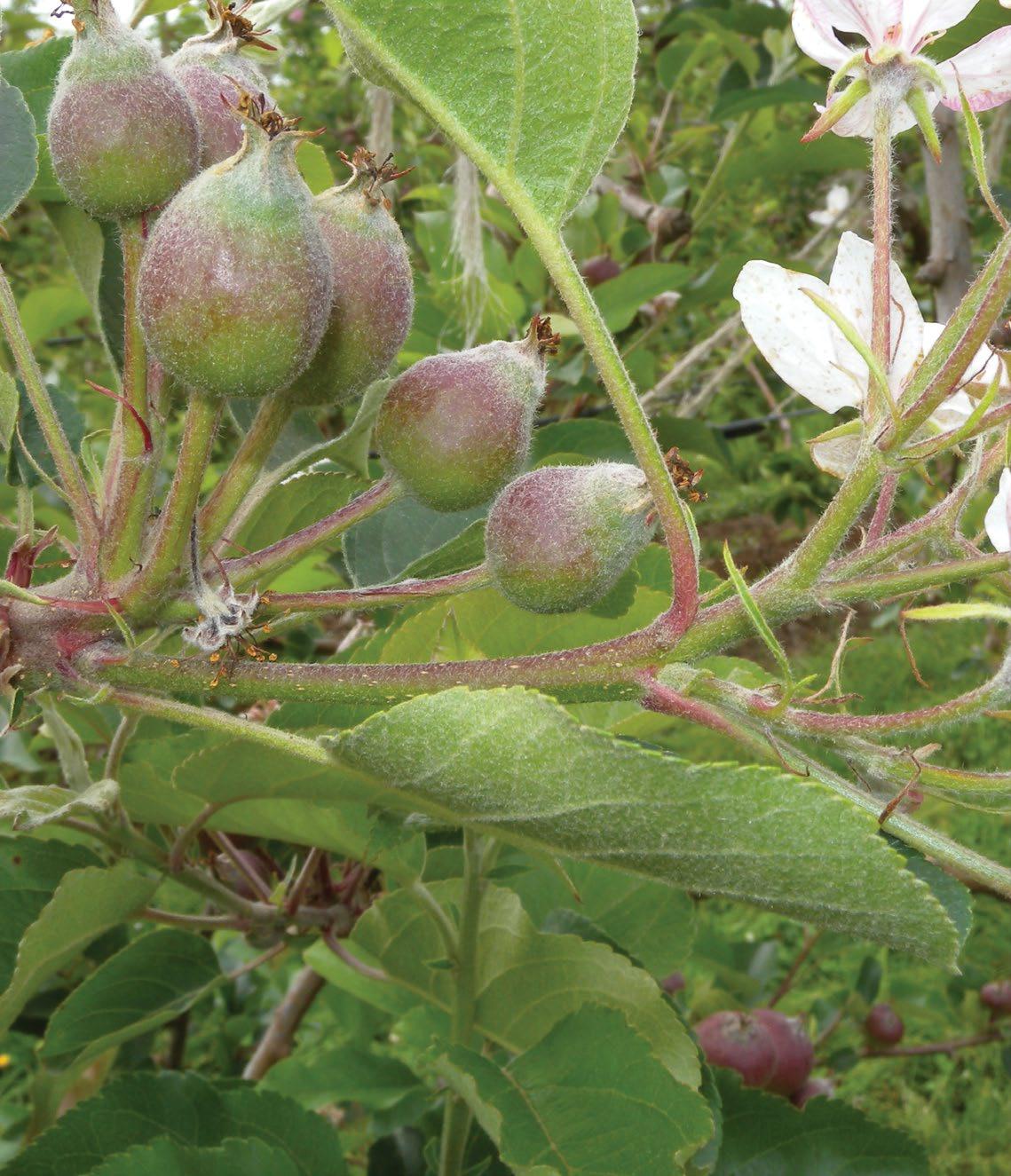
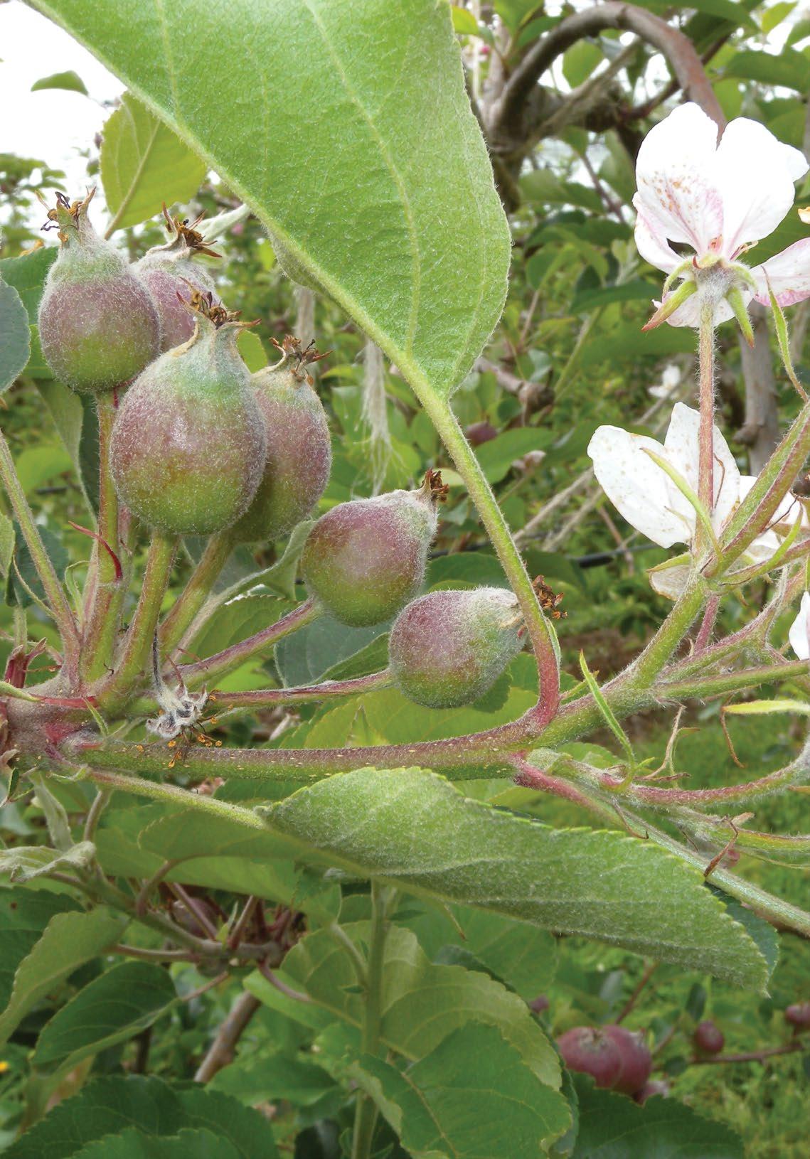
The project plans to regularly map and monitor trees at various stages of their development throughout the season. Data collection will start at bloom and continue during the growing season to map and monitor flowering, canopy growth, fruit numbers, fruit growth and fruit colour development.
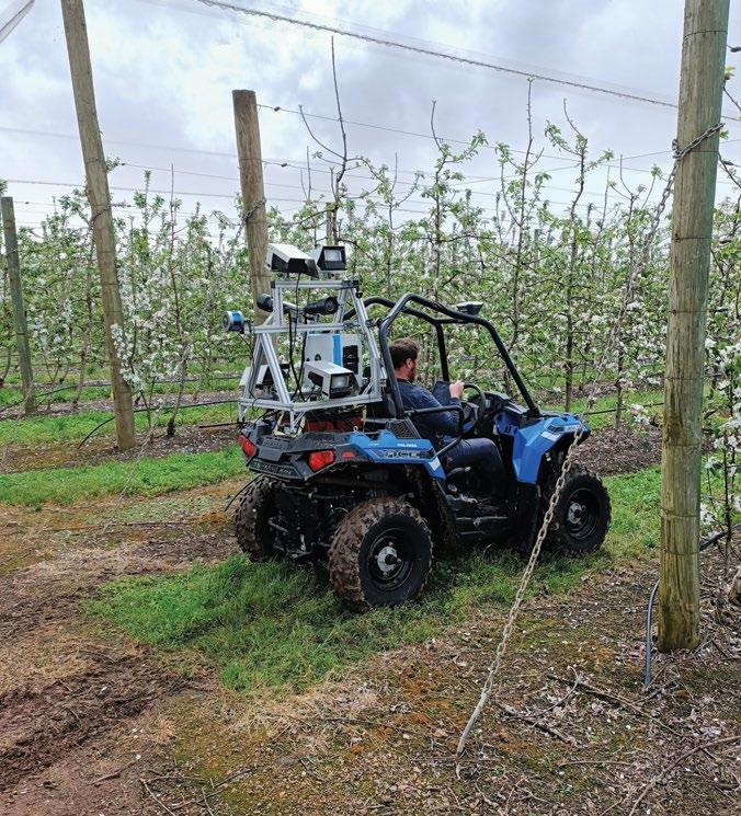
f CARTOGRAPHER collecting digital images at bloom in an ‘ANABP 01A’ block at Newton Orchards, Manjimup.
Predicting the crop load of apple trees to maximise yield and fruit quality is a fundamental challenge for growers. Disruptions in production resulting from inconsistency of crop load and apple quality can create severe economic losses of up to 30%. In addition, spatial variability within the orchard may compound difficulties in orchard management and farm profitably. DPIRD, in collaboration with Agriculture Produce Commission Apple producers committee and Aero Vine Pty Ltd, has initiated a one-year pilot study to map and monitor orchard growth using new digital imaging technology that delivers information in the form of heat maps. The technology, developed by Australian company Green Atlas and implemented in WA by Aero Vines, uses a combination of LiDAR data and digital images captured by a sophisticated camera mounted to a buggy.
Jack Wilson, APAL news September 2021.
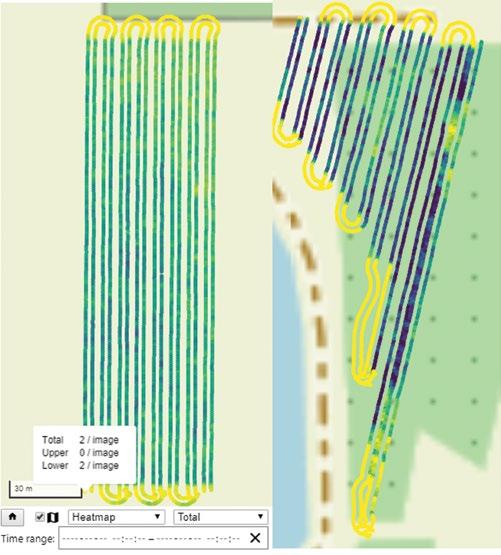
During the season there will be up to 10 data collections at the below physiological stages: • bloom • pre- and post-chemical thinning • pre- and post-manual thinning • mid-season • pre-harvest. There are two objectives for the project. The first is to identify full canopy size as soon as possible in the season, and the second is to verify thinning efficacy. Determining canopy size requires several image collections during the season, starting with small leaves and continuing relatively often during canopy growth, reducing once the canopy is fully expanded. Given the canopy is the carbohydrate producer and the organ that sustains the fruit, the aim is to compare the canopy size data with the number of fruit on the tree and fruit quality. This will build a database that can be used to determine the crop load for each canopy size that will ensure consistently optimal fruit quality. Verifying thinning efficacy will involve collecting pre- and post-spray application data, as well as pre and post-manual thinning data. A series of trees in the orchard will be selected (at least 40) to be manually counted as confirmation of the numbers collected through digital imaging. Cultivars assessed digitally in the trial will be ‘ANABP 01A’ and ‘Rosy Glow’.
The images will generate heat maps that show abundancy of the desired traits looked for (flowers, fruit numbers, fruit colour, canopy size).
Contact Dario Stefanelli; phone 0417 063 235 or email dario.stefanelli@dpird.wa.go.au.
It will also deliver an aerial map of the orchard showing spatial variability within the block. Collecting the data prior and after chemical thinning will tell the growers how efficient the chemical treatment has been, and also the areas of variability in the block. This will enable growers to determine the efficiency of the thinning programs with actual numbers rather than relying on historical data. Growers can then make more informed decisions when deciding to perform additional sprays in certain locations and identifying where to send the labour for the more urgent manual thinning.
Department of
Primary Industries and Regional Development