3 minute read
South Kaibab Trail


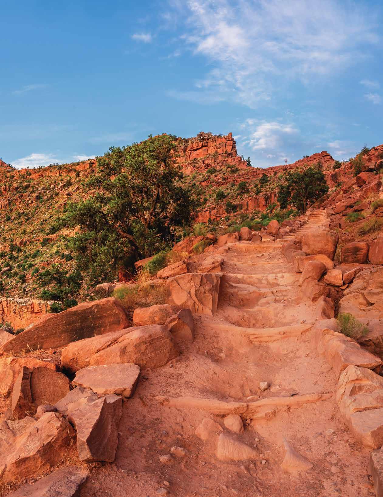
The South Kaibab Trail is the more challenging of the two maintained trails along the Grand Canyon's south rim. Shorter distance – 6.5 miles – plus a greater vertical drop – 4,820 feet – equals trouble for the neophyte hiker, or those not physically ready for such an arduous climb out of the Canyon, or dangerous descent into it.
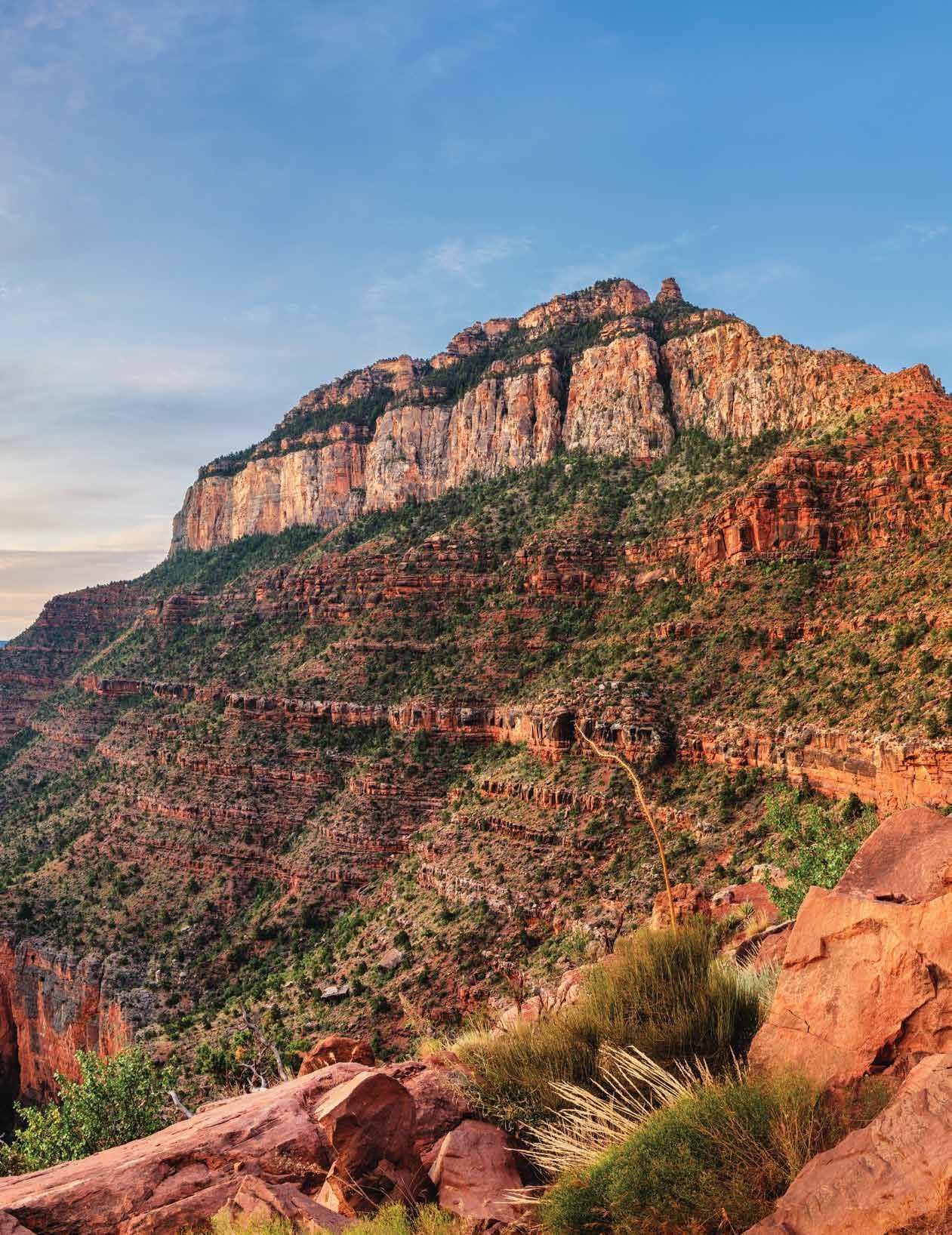
The South Kaibab Trail is unique among trails down to the Colorado River, sticking as close as possible to a ridgeline descent. To stay any truer, one would need to be riding Big Horn Sheep, and this is not advised. The trail's maximum grade is not the issue; South Kaibab Trail and Bright Angel have almost identical slopes. The South Kaibab Trail is at near maximum grade for most of the trail. If one can withstand the challenging vertical changes, the payoff is dramatic panoramic views unlike any other trail. Bright Angel Trail winds through switchbacks nestled into side canyons to make the descent more gradual. South Kaibab Trail is straight into the middle of the canyon.
Advertisement
If this were Olympic Skiing, South Kaibab Trail would be the exhilarating, all-out Downhill race, while the Bright Angel would be the Giant Slalom, weaving a serpentine pattern down the Canyon wall.
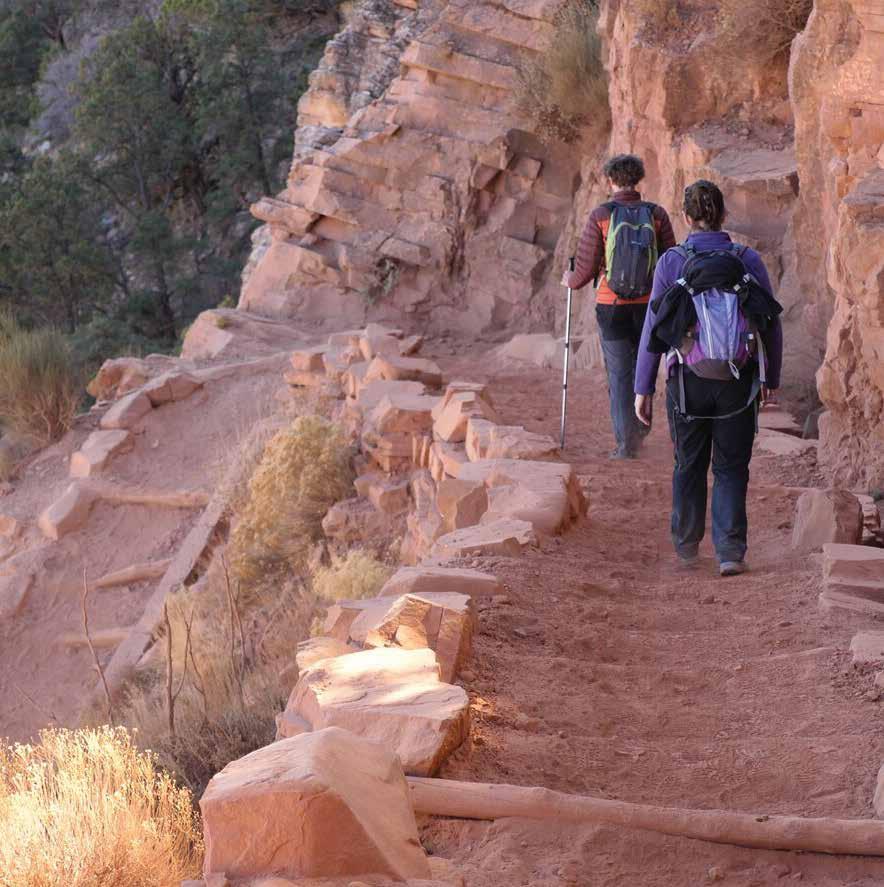
Though amenities are scarce – water and emergency phones found only at the start, finish, outhouses at Tipoff and Cedar Crest, Tipoff also has emergency phones – there are some subtle advantages to choosing the South Kaibab Trail besides breathtaking panoramas.
During the winter months, when many experienced hikers come to the Canyon to enjoy the trail's quiet solitude and avoid excruciating heat, the South Kaibab Trail remains relatively ice free due to direct sunlight exposure. There are a few short, potentially icy switchbacks on the North facing section, the first few hundred yards, but after those, clear sailing.
In February, on Bright Angel, expect solid ice until 1.5 mi. and dangerous stretches until 3 mi. The flip side is, ascending from the Canyon on South Kaibab Trail in summer with no water available, steep terrain, and no shade is dangerous to all but elite fitness level hikers. For


those attempting the ascent in summer, the National Park Service recommends four liters of water per person. If that sounds heavy, do not fret; it will get lighter quickly.
Camping is only available on the South Kaibab Trail at trails end, at the Bright Angel Campground. Getting to the trailhead may pose some obstacles as well. There is no access to the trailhead by personal vehicle. The trailhead is located at Yaki Point, a popular spot with limited space. To arrive there, one must ride the park's free shuttle service. Times vary with season, but each morning buses begin at Bright Angel Lodge, pick up at the Backcountry Information Center, and onto South Kaibab Trail. The Blueline village bus will also transport hikers to the Canyon View Information Plaza to transfer to the Orange-line to the trailhead. Also, walking to the trailhead still works.
Kaibab has too many spectacular views to try and name them all. However, the first of note as one descends sets the tone for what this trail is all about.
Ooh Ah Point manages to live up to the name. The first of a mindboggling series of panoramic views will overwhelm your senses. The winds at Ooh Ah, and along the ridge trail in general, are simply hostile. Hold onto the rock if venturing out onto Ooh Ah Point for a more spectacular look.V
Always be prepared before starting any hike, visit the NPS Hiking Information Page to help get you ready for a Grand Canyon Hike. https://www.nps.gov/grca/planyourvisit/day-hiking.htm


