©CrownCopyright&DatabaseRight2023,©OrdnanceSurveyIreland-SpatialNIisaserviceprovidedbyOrdnanceSurveyofNorthernIreland®,Sources:Esri, HERE,Garmin,Intermap,incrementPCorp.,GEBCO,USGS,FAO,NPS,NRCAN,GeoBase,IGN,KadasterNL,OrdnanceSurvey,EsriJapan,METI,EsriChina(Hong Kong),(c)OpenStreetMapcontributors,andtheGISUserCommunity
ThismaterialisCrownCopyrightandisreproducedwiththepermissionofLand&PropertyServicesunderdelegatedauthorityfromtheControllerofHerMajesty’sStationeryOffice.©Crowncopyrightand databaserights2018CS&LA156.MaptemplatedesignbyDermotSmyth.ThismapisaNewry,MourneandDownDistrictCouncilpublication.Carehasbeentakentoensureaccuracyinthecompilationofthismap atthetimeofpublication.Newry,MourneandDownDistrictCouncilcannotacceptresponsibilityforerrorsandomissions.Wheresucharebroughttoourattention,theamendmentofanyfuturepublicationsas appropriateshallbeentirelyatourdiscretion.
0
User:srv_arcgis
CurrentTime:03/08/202316:56
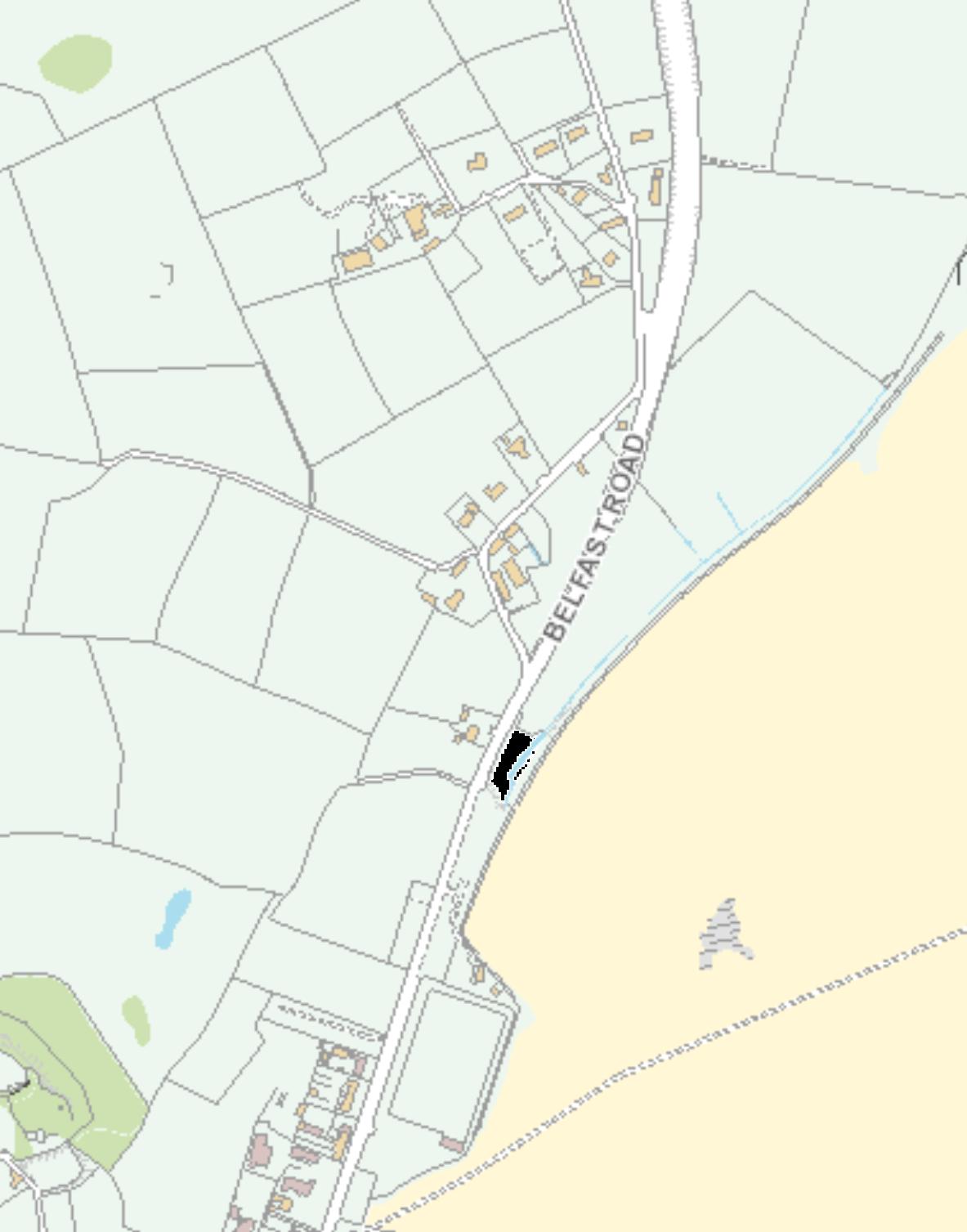
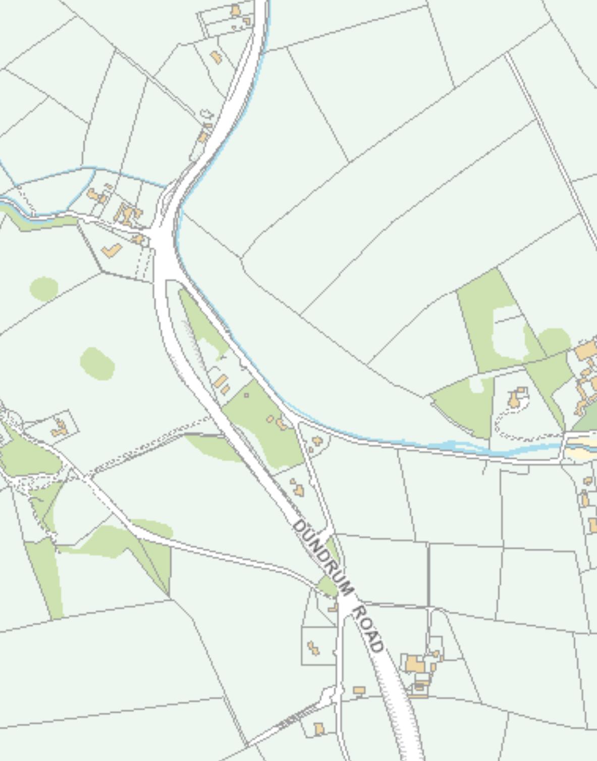
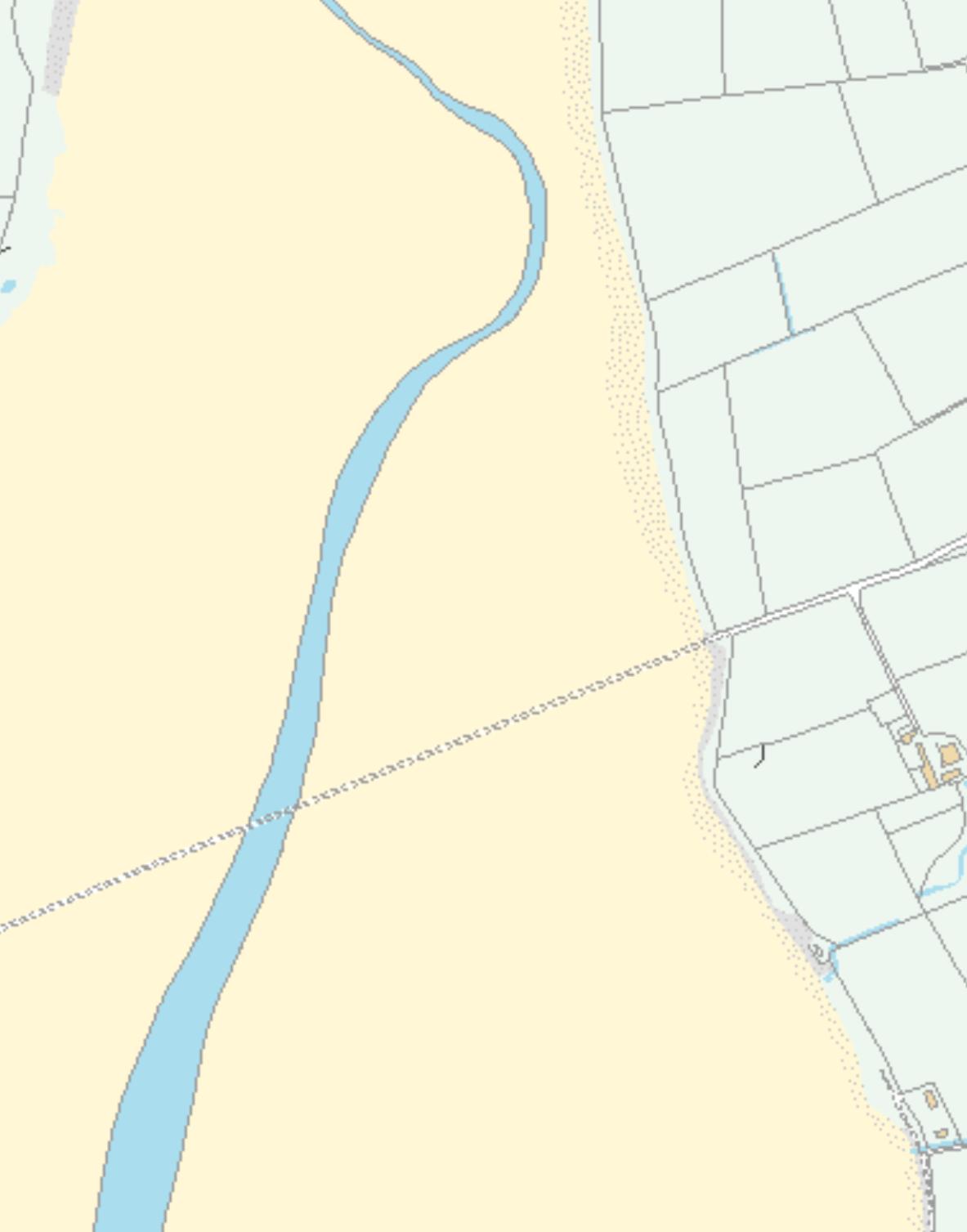
UpperLeftCoordinate:5°50'36"W54°17'2"N LowerRightCoordinate:5°48'50"W54°15'38"N Maporientationfacesnorthunlessotherwisedescribed. 1:10,000 Newry,MourneandDownDistrictCouncil(NMDDC)