Hacienda Zaci 0452
A New Model for Ecotourism
Introduction Deforestations
As understanding of the dire plight of climate change grows, more people are becoming aware of the impact of travel on the environments and cultures they are visiting. This awareness has led to the Ecotourism movement. This philosophy looks to protect local diversity in cultures and nature, while supplying rich individual experiences.
The Yucatán Peninsula is one of the world’s richest hubs of biodiversity and is home to many spectacular ruins of the Maya people. This has made it a leading destination for ecotourism in the Americas. However, a truly sustainable model of tourism for the region does not exist. The region is rapidly growing in popularity, which is leading to increased deforestation and environmental disruption. The construction of recent large-scale infrastructure projects has begun to bring the issue into focus.
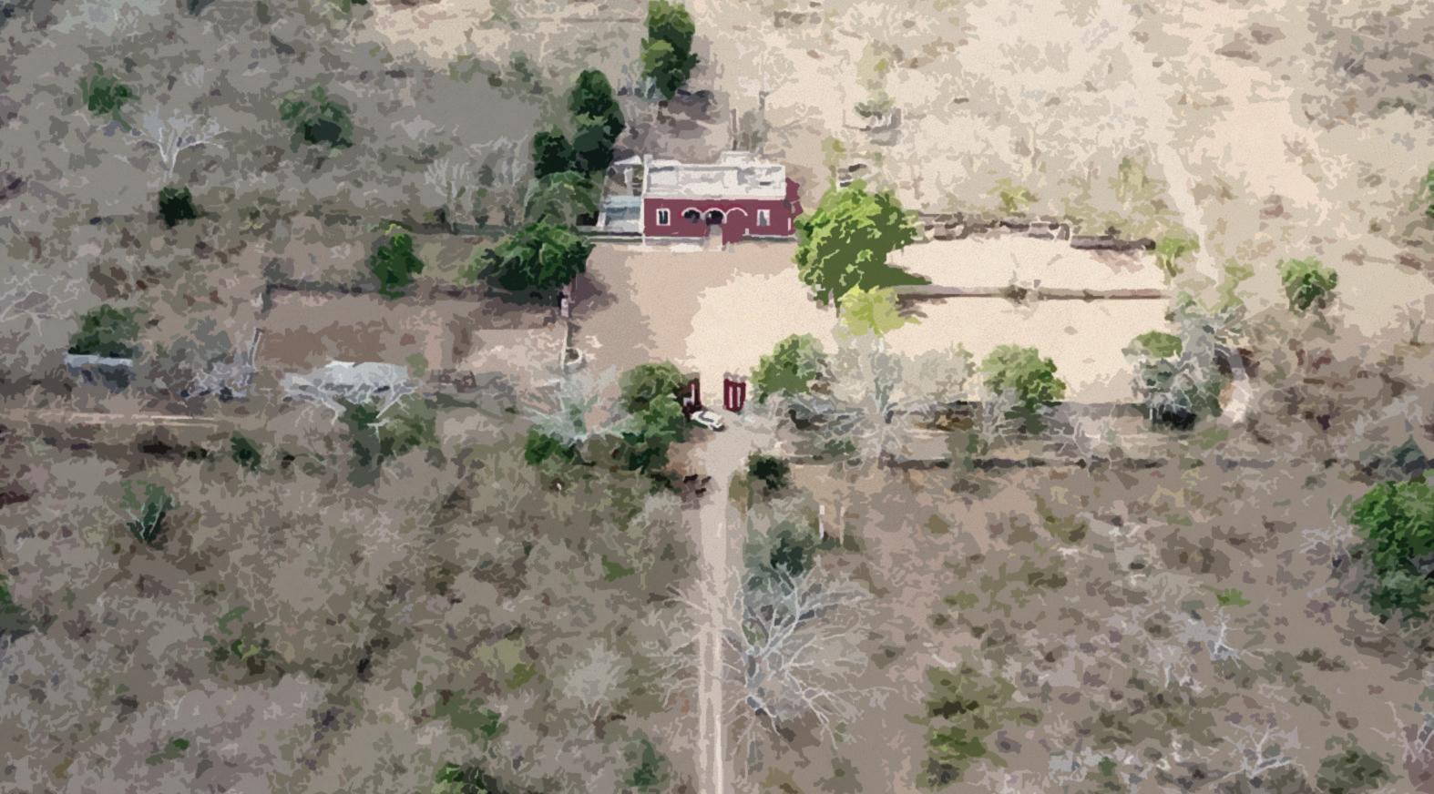
The site is on the grounds of an old hacienda near Mérida, Mexico.
Currently, its key features are the casona and a cenote. The casona is a historic house which hosted the owner and offices of the hacienda when it was still used for agriculture, accompanied by a number of outbuildings which now lie in ruin. The cenote is a large sinkhole in the limestone bedrock, which provided the farm with a source of freshwater and recreation.
The current owners of the hacienda, a group of twelve families, wish to create an ecotourism destination, complete with villas that can be used by themselves or by travelers interested in the natural history of the region. Part of the program calls for the restoration of the casona to its original state, and the addition of spaces for dining, recreation, and the creation of art. Hacienda Zaci is a very specific site with specific context, but it is their intention that this building serve as a model for future ecotourism projects in the Yucatán and beyond.
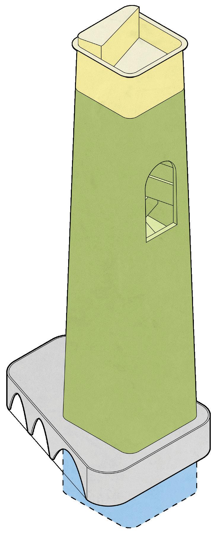
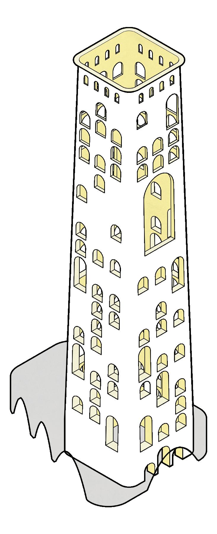
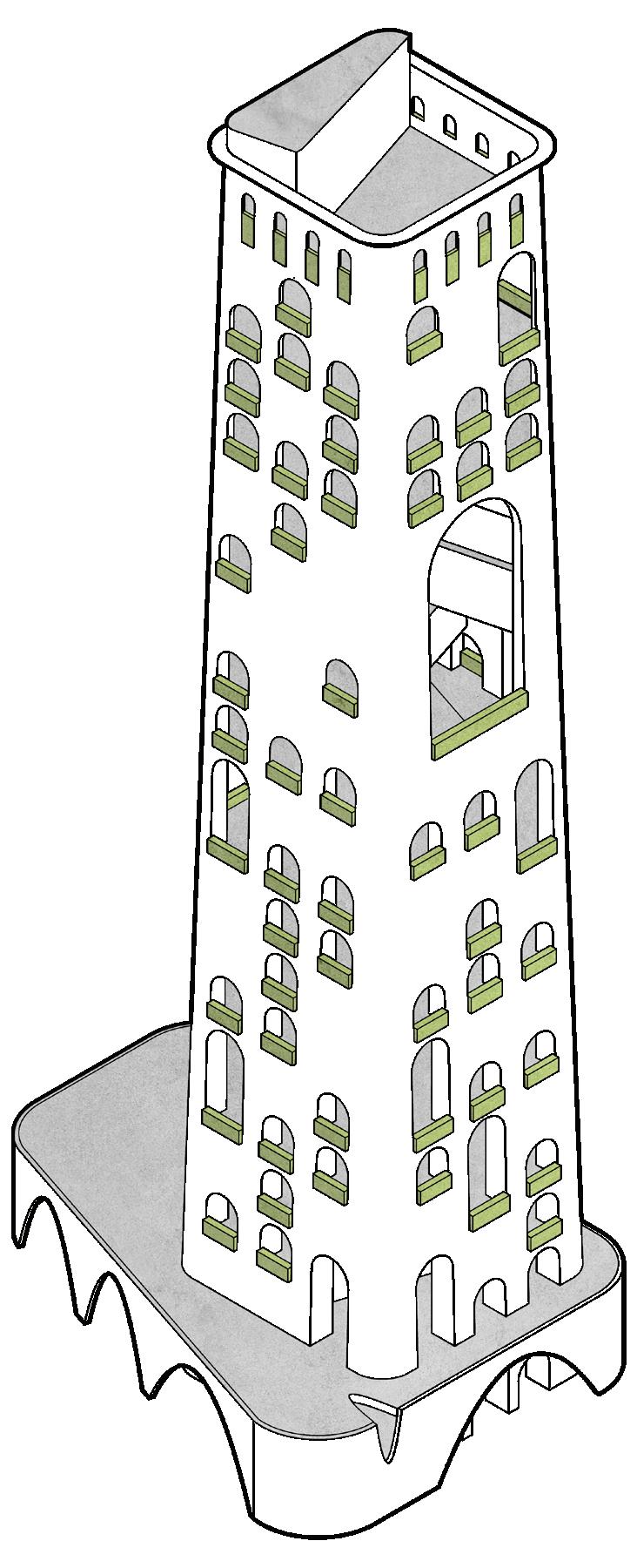
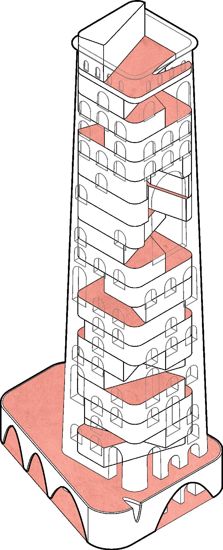
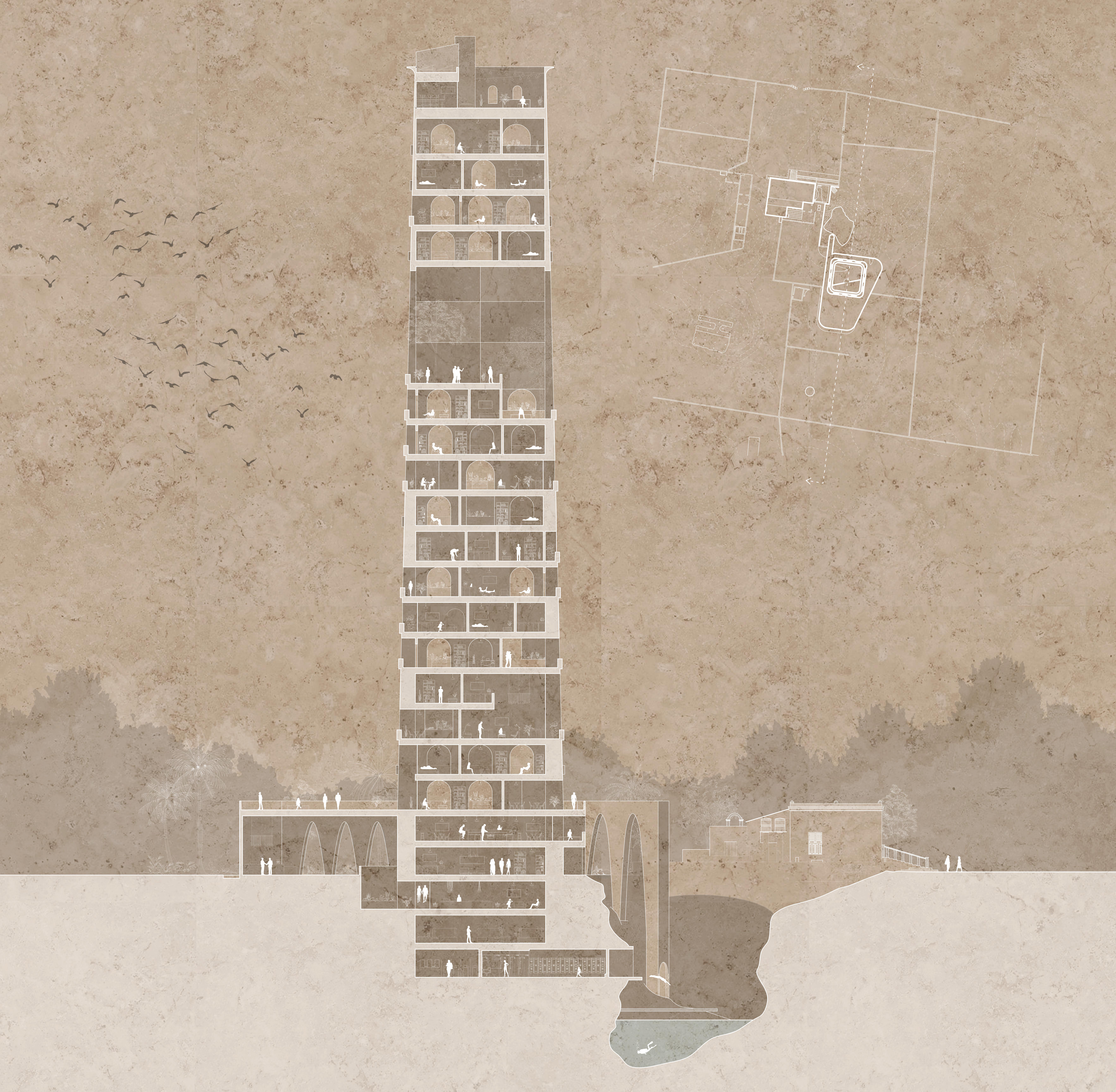
The tower is understood to exist in three realms, like El Castillo at Chichen Itza, which is also built atop a cenote. These realms were understood by the Maya to be the heavens, the earth, and the underworld.
The base of the tower sinks into the ground, interfacing with the cool waters of the cenote. Due to the rural nature of the site, this is the tower’s source of freshwater. Here we place water treatment facilities, to recycle the water used by the humans and plants hosted at the hacienda. In addition to respecting the aquifer, this supplies an opportunity for recreation and cooling down.
The tower itself hosts the main living and activity spaces of the hacienda. Using modern computer modeling and materials science, it is possible to plan the tall masonry structure with minimal use of steel, and much of the material removed from the tower’s base can be reused in the construction. Extrapolating from traditional Maya techniques of farming in raised beds, the tower also provides a space for agriculture, which can supply fresh food for visitors throughout the year. In addition, solar panels located at the top of the tower offset the building’s power needs and help keep the skies clean.

The Yucatán dry forests have long been a victim of deforestation as a result of industrial farming and ranching. Civic growth in major cities such as Cancun, Mérida, and Valladolid have also contributed to a decline. The map illustrates the areas seeing the worst deforestation in light green ranging to dark green in areas of lower risk.


The cultural renaissance of the maya on the world stage has also led to an increase in tourism spawning this idea of ecotourism. An idealized environment where tourists can experience the authentic geography and culture of the region. The Maya ruins concentrate on the Yucatán peninsula particularly in the region surrounding Mérida.
The Yucatán’s unique hydrology owes much to the Chicxulub crater where a massive meteorite struck the earth and resulted in a geological pattern of pools concentrated on the perimeter of the crater where groundwater and aquifers surface after cave collapses and erosion events. The concentration of cenotes is represented by the ring of white dots while the blue gradient illustrates the groundwater infiltration.
In an effort to stave off climate change and deforestation several ecological preserves have been established in the Yucatán. However, much of the peninsula is still used in a destructive manner. The map shown highlights the band of agricultural land across the north shore of the peninsula (Pale Yellow) immediately adjacent to much of the agricultural land including major cities is a network of high impact industry and production. While the rest of the peninsula is dominated by forest utilization (Yellow).
 Hacienda Zaci
Yucatán Hydrology
Three Realms
Maya Ruins Land Use

