
1 minute read
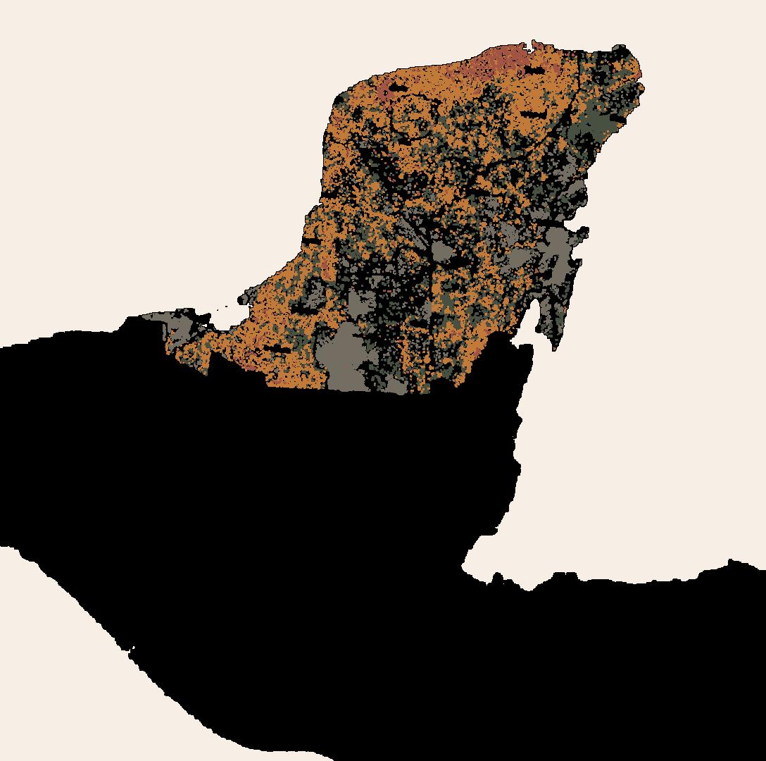
The Yucatan pinesula is the focus of our exploration and is defined by the states of yucatan, Quintana Roo, and Campeche. The region long been plagued by deforestation (Lower Right) and over tourism. The ruins of the Maya civilization generate a significant international tourist destination and is catered towards though a variety of methods many disingenuous to the landscape and cultural history. Many debates surround future development in the Yucatan region.


From top right to left; Maya Ruins LiDAR scans, Sustainable Zoning Map, Deforestation, Proposed Maya Train Route.
Advertisement

Site Location


The site for the proposed hacienda master plan is located in central Yucatan just outside of Merida the capital city of Yucatan.

Site Sketching
The Hacienda master planning process began with a preliminary diagramming exercise. The initial site geometries and environmental characteristics were quickly mapped to begin to inform the programing of the site. Characteristics were inferred from site plan study and climate data available.


