13 minute read
CHOCORUA, PAST TO FUTURE
CHOCORUA’S BRIDGE FROM PAST TO FUTURE In the 21st Century, a Local Land Trust Stewards Land and Community By Juno Lamb
Aspring morning on the cedar-railed Narrows Bridge that divides Chocorua Lake from the Little Lake, in Chocorua, NH. Across the lake, the lower flanks of Mount Chocorua are painted with the intense green of newly leafed-out trees. The upper reaches of the mountain shade from gray-brown to blue up to its granite point. Behind and to the west, the undulating line of the Sandwich Range is a paler blue against a cloud-strewn sky. Along the shore, tall evergreens crowd the lake edge. In the circle of their embrace, the water on this still morning contains a perfect
Advertisement

reflection—upside down—of trees, mountain, and sky, so that the lake, like the sky above, is strewn with clouds.
It’s not here by chance, this tranquil view across a shallow lake with undeveloped, wooded shores, no house in sight, to the famous mountain tipped in bare rock. These shores remain wooded, the water of the lake oligotrophic (pristine, ideal for swimming and fishing), the land and trails around the lake protected and stewarded, and 40 percent of the shoreline accessible to the public—more than any other New Hampshire lake excluding state parks, at no cost to visitors or to local or state taxpayers—all because of a small and hardworking land trust, the Chocorua Lake Conservancy, or CLC. “Land and water stewards since 1968,” their tagline says, and now, in 2020, the CLC owns close to 1,000 acres, including much of the shoreline,
mycophiles explore the trails, fields, and wetlands, as do others who seek the solace of the noisy quiet we find in natural places—the cheeps and chirps of bird song, and buzzing bees, and wind shushing through the trees. In the winter, ice fisherman come, and skaters, and cross-country skiers, and one weekend a year, weather permitting, lake and woods resound with the excited barks of sled dogs.
The two parent organizations that merged to become the CLC in 2014 were formed in 1968 to fulfil the vision of earlier generations around the lake: that human activities should not alter the natural beauty and splendor of the Chocorua Lake Basin.

and holds conservation easements on 3,000 more, comprising nearly all of the Lake Basin as well as land along the river that feeds into the lake.
Chocorua Lake, and the Lake Basin, are beloved and iconic. A view of the lake and mountain graces the U.S. quarter honoring the White Mountains. Thousands of visitors stop every year to take photographs from the Basin View Lot at the top of the hill—recently protected by the CLC to ensure that people will have access to that view, and a safe place to park, in perpetuity—and from the Narrows Bridge with its rustic CLC-built and maintained railings, the site of many marriages and celebrations. In summer, locals and visitors alike swim, kayak, fish, listen for loons, and catch glimpses of the eagles that nest on the lake’s northern edge. Birders, wildflower enthusiasts, and The roots of the CLC go back further than that, though, to the conservation pioneers who bought up much of the land around the lake in the late 19th century, and who, through their commitment to protect the Lake Basin, inspired the generations that followed. And perhaps they even go back to the infamous lakeshore murder of 1876 (see sidebar on the following page). If the irascible Sylvester Cone hadn’t been so quick on the draw, the Chocorua Lake Basin might look entirely different today.
It’s not here by chance, this tranquil view across a shallow lake with undeveloped, wooded shores, no house in sight, to the famous mountain tipped in bare rock. It’s because of a small and hardworking land trust, the Chocorua Lake Conservancy, or CLC.
By the 1950s, it had became clear that tradition and intention alone were not enough to protect the lake from the pressures of development. Landowners realized that long-standing practices needed to be formalized into binding agreements, and over a handful of years they worked together to place much of the land in the Lake Basin under conservation covenant— all in a time before email.
And the land—the land was here long before then. Early colonists landing in Portsmouth and other coastal towns made their way north to settle the area. They clear-cut dense forests to make fields and built stone walls that recent LiDAR (light detection and ranging) imagery shows us run dead straight and dead parallel across land that is anything but regular. Over time, a body of literature grew up, depicting in various forms the legend of a fictitious Native American “Chief” Chocorua, for whom the mountain and lake are said to take their name. In “Chocorua Redux: Revisionist History of a Name,” independent scholar Mary Ellen Lepionka explains that these legends are neither rooted in history nor logical to what we know of Algonquian, or more locally, Abenaki tradition. Her best guess, based on known etymology and practices, is that the name Chocorua probably means “Home of the Water Serpent.” “It would have been extremely important to Native people living in the Tamworth valley to have a water serpent on the mountain to propitiate,” she says. “Ancestors of the people living on the Saco River, or those who were here before them, most likely named the mountain for the spiritual guardian of its headwaters.”
Chocorua was chosen to represent the White Mountains in the America the Beautiful Quarters® Program.

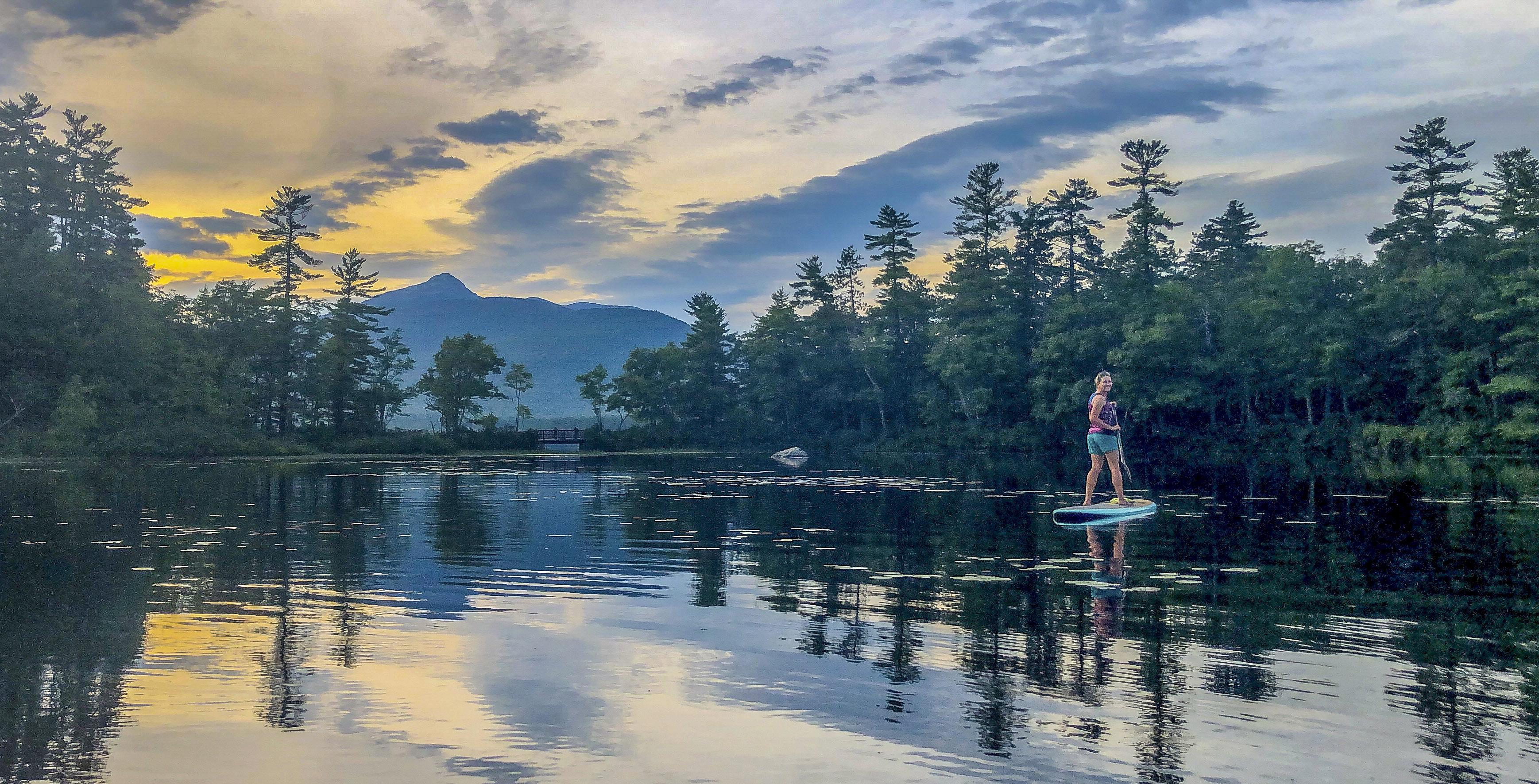
Area residents and visitors enjoy four seasons of recreation here, from a late March pre-ice-out dip to a winter moonlit skate.
Indigenous people were here for thousands of years before the colonists arrived, making use of almost everything the natural world offered as sources of food or medicine, traveling to the coast to trade or gather nourishing seaweed, fish, and shellfish. And earlier still, more than 14,000 years ago, a mile of glacial ice sat over this whole area. As it receded northward, geologist Rick Allmendinger tells us, it left a lake that for a time was far longer and deeper than it is today.
Now it is today, the beginning of the third decade of the 21st century. The climate is changing in ways that will affect the land and water we care for, and our way of life in this region, perhaps opposing or contradictory pressures in order to stay true to its mission of protecting the natural resources of the Lake Basin, maintaining lands for public access, and developing a community of support. It monitors lake water regularly and has worked to protect the lake from Route 16 runoff, as in the award-winning Berms & Swales project in 2001. It maintains public access areas to protect them from the wear and tear of human use, and to keep them clean and welcoming through the busy seasons. And it stewards the lands it owns with an eye toward adaptation to, and mitigation of, the effects of climate change. According to Professor Cameron Wake of UNH, who spoke recently at a
And so, the CLC remains hardworking, balancing sometimes opposing or contradictory pressures in order to stay true to its mission of protecting the natural resources of the Lake Basin, maintaining lands for public access, and developing a community of support.
not as quickly or dramatically as the lives of people in island nations or areas of rapid desertification, but in ways we can’t fully predict. While we can’t see the future, we can do our best to anticipate these changes and to support the resilience of the land, the water systems the land contains, and the communities—plant, animal, and human—that form the ecosystem of this place.
And so, the CLC remains hardworking, balancing sometimes CLC event, these will include hotter summers, warmer winters, more intense heavy rain events, and longer periods of drought in between, all of which have implications for lake water quality, for the ability of invasive plants to damage native ecosystems, for the spread of insects damaging native trees, for trail sustainability, and more.
The third prong of the CLC’s mission is developing a community of support. The organization is too small to do its work
Juno Lamb photo


Juno Lamb photo
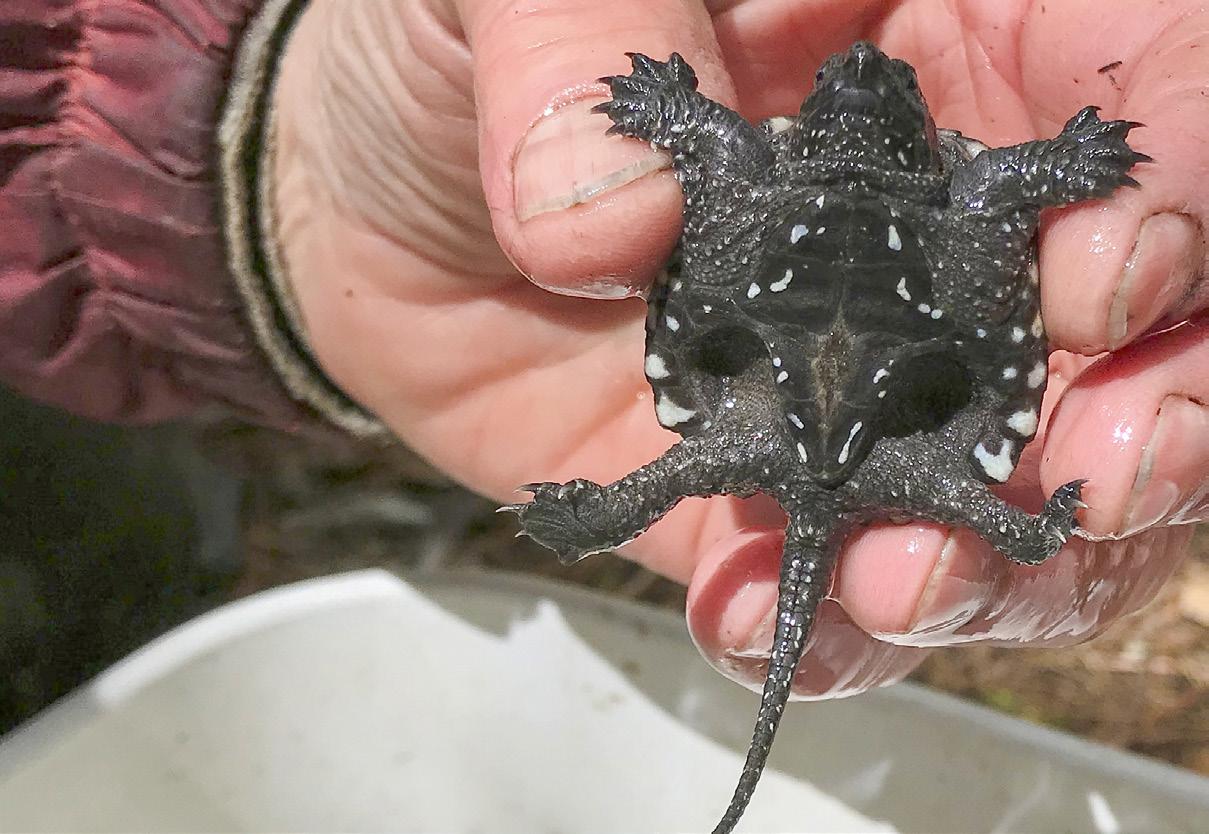
The Lake Basin’s endowments include culture, nurture, and nature, from the glowing cedar railings rebuilt in 2011 to replicate a historic design from an early 1900s photo and the annual Parade of Lights, to students learning to be scientists, baby snapping turtles, and fungi of many colors.
Float To Your Car Shuttle Service

DOG FRIENDLY!
Find your own private beach this summer on the Saco!
FAMILY KAYAK PACKAGE Just $100 midweek and $120 weekend!
Inc kayaks, paddles, life-vests and shuttle


SACO RIVER TUBING
Relax on a 1.5, 3 or 5-mile float with
clear water, rope swings, and sandy beaches!
(603) 447-4275 • SacoRiverTubing.com 558 White Mountain Highway (Route 16), Conway, NH
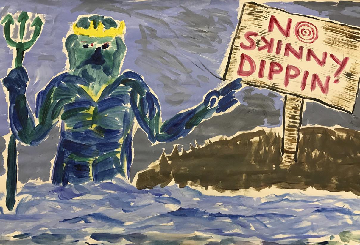
Some say that the Chocorua Lake Conservancy, the land trust that cares for Chocorua Lake, preserves and stewards much of the Lake Basin, and provides and maintains public access to the lake shore, would not exist if not for a 19th century landowner’s hatred of skinny dipping ... and a cruel murder.
As the story is told ... A sweltering day, August, 1876, the sun pulsing in a bleachedblue sky. Two sets of brothers, sticky with sweat and itchy with hay dust after a morning of haymaking, stop for a cool dip on their way home. Sylvester Cone, who owns 100 acres on the shore of the lake, has a temper—his neighbors don’t like or trust him. He warns the boys off, and then shoots and kills the poor fellow left tending the horses by the road, who hasn’t even had a chance yet to shed his clothing and bathe in the restorative waters of the lake. In prison for his crime, Cone defaults on his mortgage, and the property is bought by two Bostonians who go on to purchase 85 percent of the lakeshore, and who become pioneers in the conservation movement, inspiring the unwritten agreements that landowners follow for nearly a century—inspiring, ultimately, the formation of the CLC. Chocorua Lake Crankie artists.
HIKING, EDUCATION, TOPOGRAPHY, TRAIL PLOTTING Chocorua Map • iOS: Free • 4.7 stars www.chocorualake.org/chocorua-map-app

The CLC recently released an iPhone/iPad app which uses an exquisitely detailed shaded relief base map created with LiDAR eleva- tion points spaced every one meter (3.3 ft). All of the publicly-accessible trails in the region are shown as tappable traces that not only reveal the trail name and length, but also shows the hiker how far they have come and how much farther they have to go. Users can add their own points of interest and photos, and the app is self-contained so doesn’t need consistent cell service. The app is free to download for iOS devices (not yet for available for Android) and is not supported by any advertising.
without volunteers. Until 2016 it was an entirely volunteer organization, and now, with a full-time stewardship director and a couple of part-time employees, it remains volunteer-led and reliant on volunteers for much of its physical work: spreading wood chips to prevent erosion of the lake edge in highly trafficked areas, planting fruiting shrubs to improve habitat for birds and animals, weeding and mulching those shrubs each year so that they can thrive, engaging in the relentless work of keeping invasive plants from overtaking native species and destroying habitat. Stewardship days from spring to fall are an opportunity for locals and visitors to help sustain a place they love, and to work together in community, and outdoors in nature, while doing so. CLC educational events are designed to help people connect with and learn more about the natural world, of which humans are a part with outsized power—even more than beavers!—to alter landscapes for both good and ill.
Latest update: Ver 121.6 (February 2020) • 121 MB
And sometimes the CLC just celebrates, as at summer’s end when people from all over gather on the Narrows Bridge to watch the more-than-half-a-centuryold Parade of Lights. Dozens of boats bedecked with lanterns of all shapes, sizes, and colors make their way out to the center of the lake at dusk, circling in formaThe novel, “Look to the Mountain,” was published in 1942 and is the story of two young settlers who journey to the area in the foothills of Mount “Coruway” in the 1760s. The book received critical acclaim and was nominated for the Pulitzer Prize.
tion as the sky darkens, the mountain grows dim, stars come out overhead, and the lantern lights appear to brighten, their reflections large and wavering in the ripples that extend out from each boat to meet and dance. Human eyes have borne witness to this place for thousands of years. In our brief moment, the CLC strives to honor this magical place, to protect and maintain it so that generations to come will be able to find beauty and respite here, as we have.
Visit chocorualake.org to learn more about the work of the CLC, to read Mary Ellen Lepionka’s “Chocorua Redux,” to read David Little’s longer version of the 1876 murder, to learn the history of trails in the area and download a trail map, to read about the natural history of the area, to find out about upcoming events, to join our e-news list, to donate or volunteer, and more. If you enjoy Chocorua Lake and the Lake Basin, please consider becoming a member of the Chocorua Lake Conservancy.
Join in this summer for stewardship days, nature explorations on land and water, presentations, and workshops.
Facebook: Chocorua Lake Conservancy Instagram: @chocorualakeconservancy
Chocorua Lake Conservancy PO Box 105, Chocorua, NH 03817 (603) 323-6252

Discover Remick. www.remickmuseum.org
603 . 323 . 7591 OpeN YeAr-rOuND #remickmuseum
Seasonal Highlights 2020
. Spring on the Farm May 16 . NH Appreciation Day June 20 . Summer Activities July 6–August 29 . Harvest Festival October 17 . Farmstead Christmas December 12
A RURAL LIFE MUSEUM & WORKING FARM OuTDOOr WALKS + 4-H DAIrY CLuB SCHOOL AND GrOup TrIpS + CLASSeS TrAILS + MuSeuM STOre + MOre!
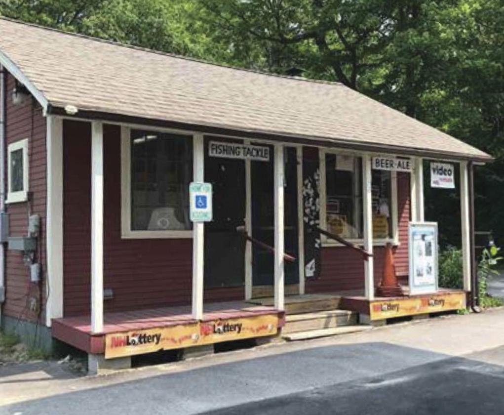
US 302 Route, Bartlett, NH $535,000 MLS# 4748842


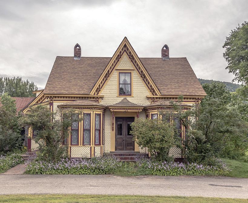
1004 Bearcamp Hwy, Tamworth $125,000 MLS# 4765097
Lobin Frizzell Direct: 603-662-4095 Chris McNevich Direct: 603-361-4079
Office: 603-610-8500 66 Route 25 Meredith, NH 03253
www.603propertygroup.com
Each office independently-owned & operated


