PORTFOLIO
SELECTED WORKS 2021-2024

Toshiya Okazaki


SELECTED WORKS 2021-2024

Toshiya Okazaki

Master of architecture
CONTACT
tel:81-90-1152-8334
toshiya.arch0120@gmail.com
2023-
The thesis abstract has been accepted for a Poster Presentation at the IFLA World Congress
Worked as a teaching assistant in landscape design studio and as a tutor for international students.
Kindai university
Bachelor of Architecture
The graduation project was awarded 2nd place at the Graduation Diploma Work Review of Kindai University.
Nagoya
Worked as a staff member in a workshop event for elementary students
Built 3d models of a development of a station front in Ehime prefecture.
KakSak Inc. / Tokyo
Worked as a staff in a workshop event
E-DESIGN Inc. / Osaka
Made models for a river ruins park in Shiga prefecture.
Ohtori Consultants Environmental Design Institute / Osaka
Proposed landscape plan ideas for the yard of a crematorium in Hiroshima.
Proposed landscape ideas for the front entrance of a hotel in Hiroshima.
Green Wise Co., Ltd. / Tokyo
FADE IN Ltd. / Osaka 2019-2023
Mar- 2024
Jun 2024
Nov 2023
Oct-Nov 2023
Aug-Sep 2023
Proposed landscape plans having green infrastructure for a residential complex in Tokyo
Planned workshops for the residents.
Prepared construction and presentation documents, and researched materials.
2nd Place, Graduation Diploma Work Review, Kindai University 2023
Mar 2023
Merit Award, U30 Open Design Competition, Japanese Institute of Landscape Architecture
Merit Award, Kyoto Landscape Design Exhibition,10 universities in Kansai area, 20232024
Interstice of the Wild
Forest, Co-existence, Ruins

Japanese traditional dike “Waju” with multiple and multifaceted-uses
Research, Dike, GIS,
Open pit mining, Bio-diversity, Backfilling

A Station Encompassing a Plaza~ ~Connecting to the Town and Creating New Interactions ~
Station, Community formation, Human activity
Winter 2023
Graduation Work
Individual
Site:Minamihira, Shiga, Japan
Supervised by Prof. Katz Miyahara
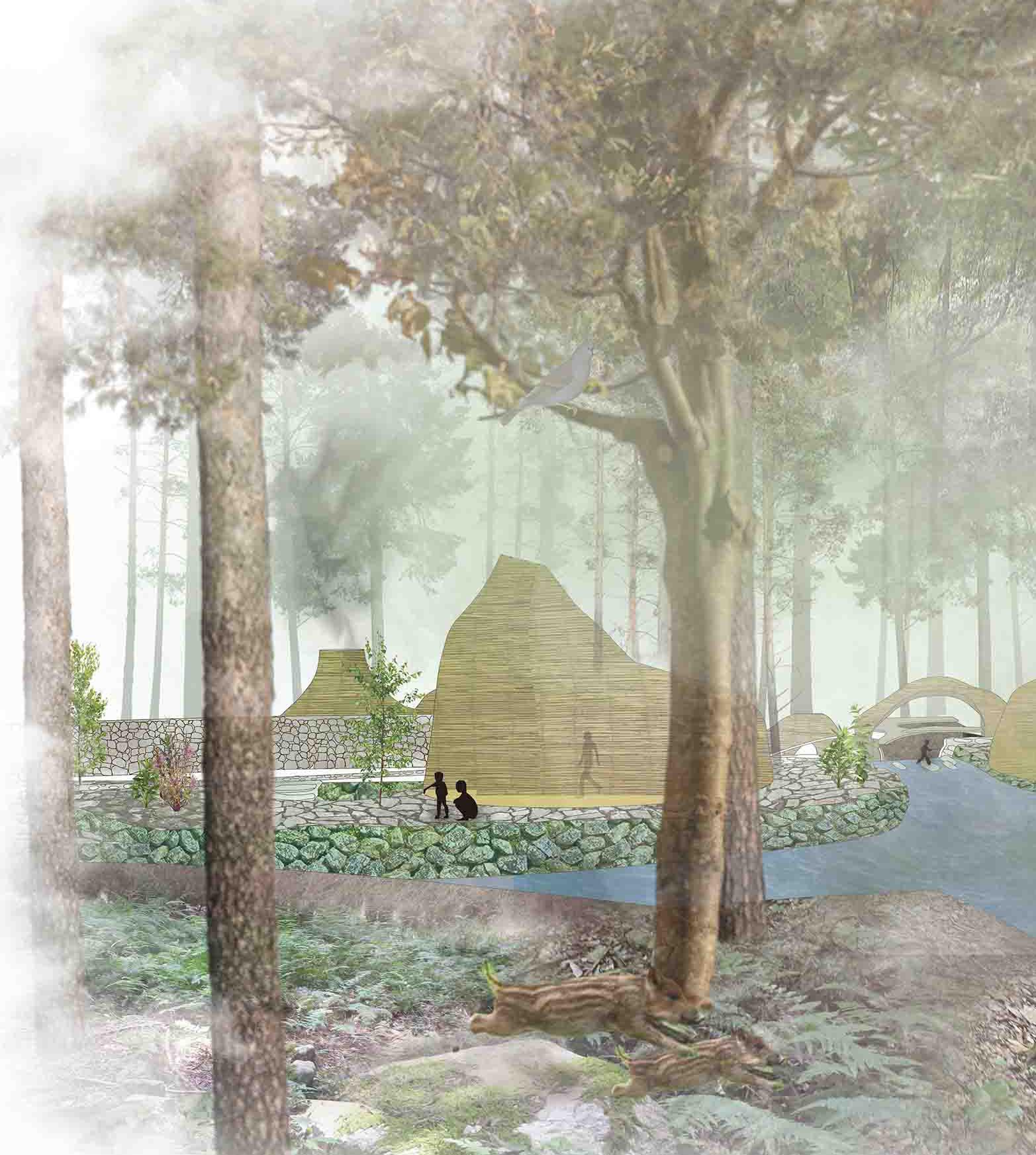
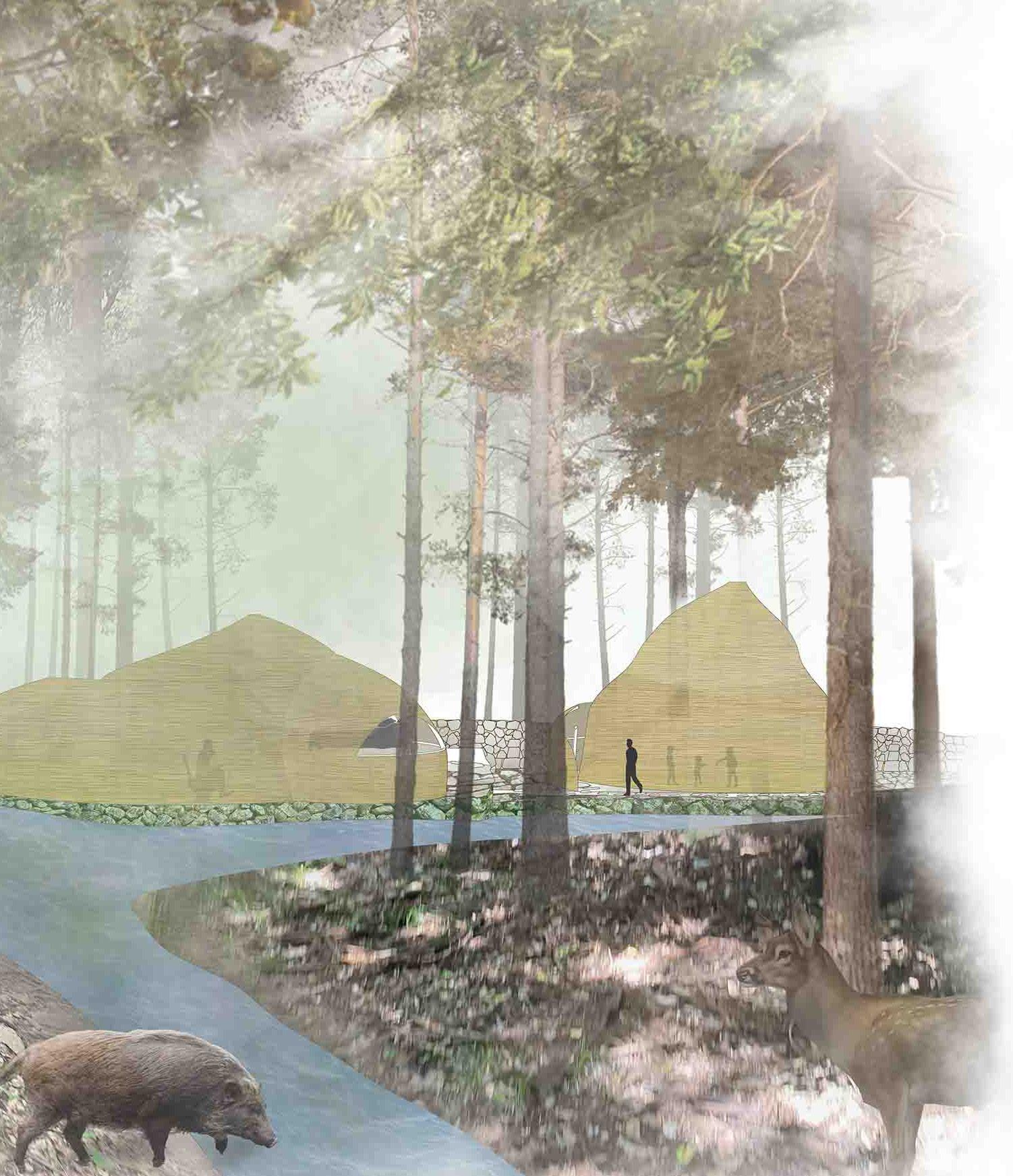
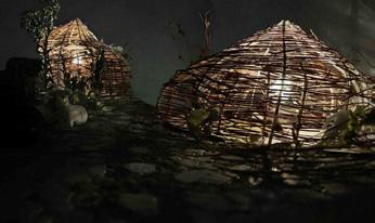
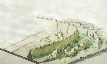
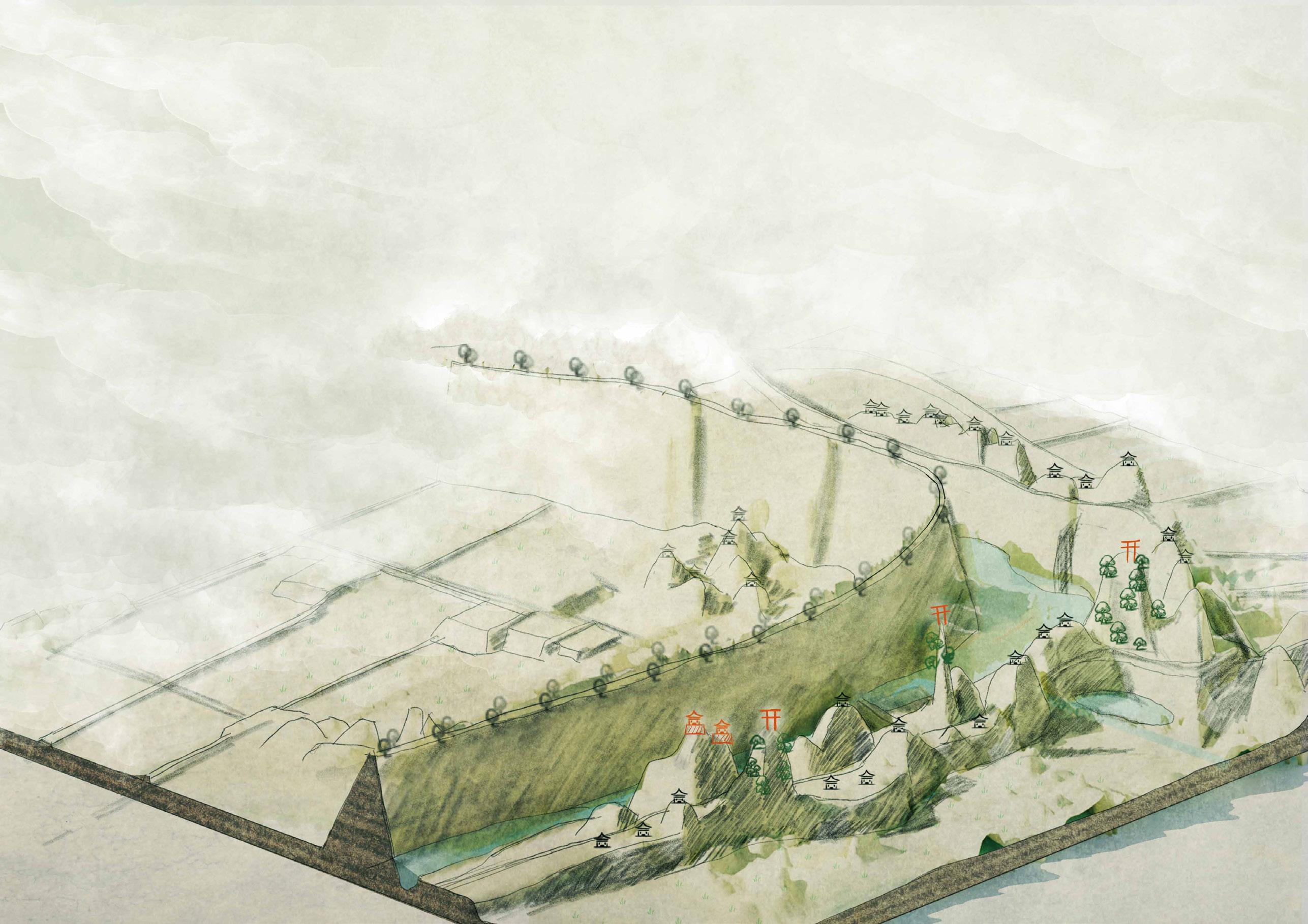
This project proposes the creation of a boundary space where stones, waterfront, and plants that change over time create a place for each other. It is a space created in the contradiction between the Japanese view of life and death and social issues. In these fluent environments, where the natural world and human intervention meet, I seek not just to resolve conflict, but to make it renewal and growth.
Existing Shishigaki
Former Shishigaki
Electric Fence
Currently buried in the forest, creating a boundary between forest and fields, surrounded by waterways.

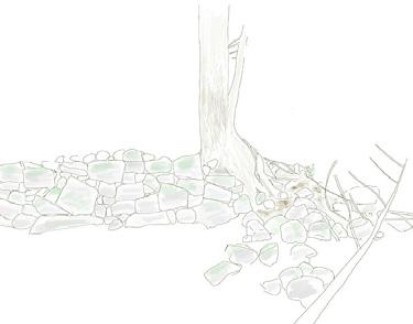

Deforestation for Iron Production Construction of Shishigaki The Degradation of Artificial Cedar Forests Proliferation of Electric Fences

Road
Rail
Rice Paddy N


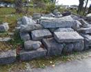

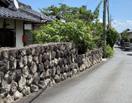
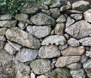
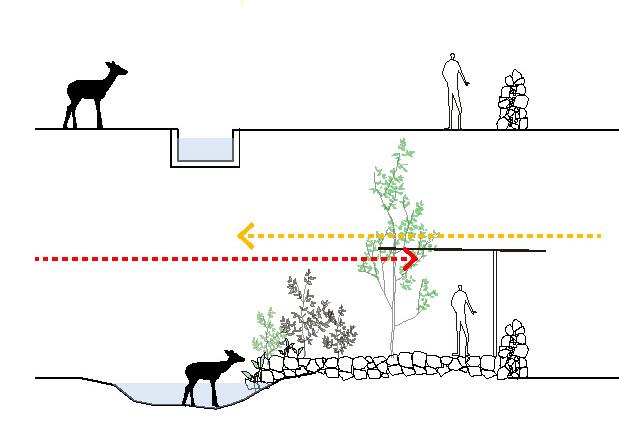
Expand the boundary area with stone walls to create places that accommodate flora and fauna.
Existing waterway and Shishigaki
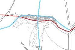
stone paving
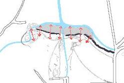
Gently connect the boundaries

Introduce temporal and spatial variations.
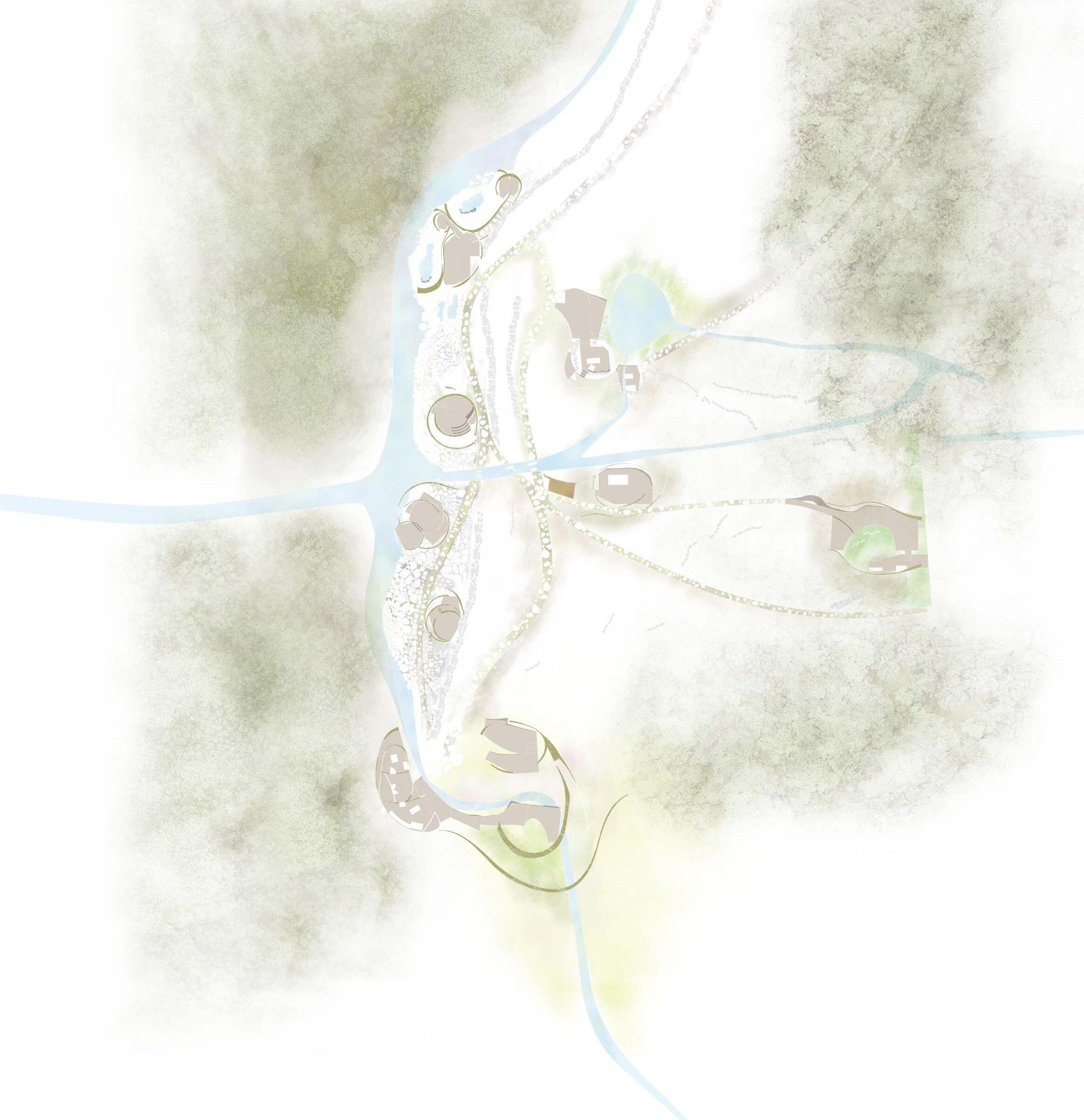
1,Accommodation Buildings 2,Bathing Area

A design that blends seamlessly into its surroundings, as if it has always been there. Over time, its exterior evolves, appearing almost alive.
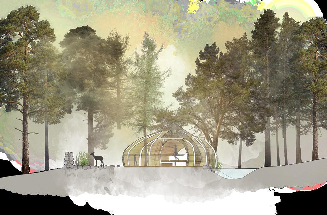

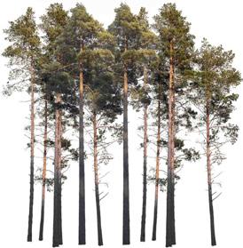
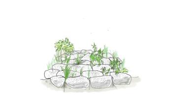
Over the years, low plants gradually adapt to new human activities within the forest, leading to stabilized vegetation.
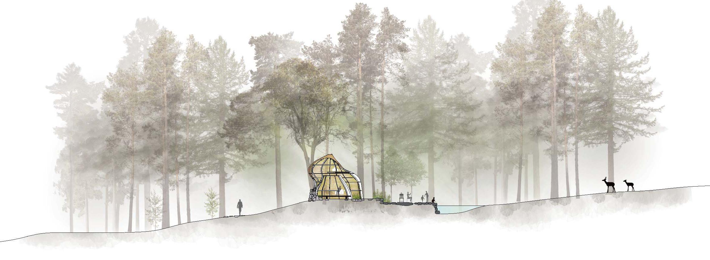
Human activities cause shifts in tree vegetation, which moreover affects both human and wildlife realms, allowing both to find their places within the ecosystem.
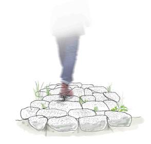
The movable stone path according to vegetation changes
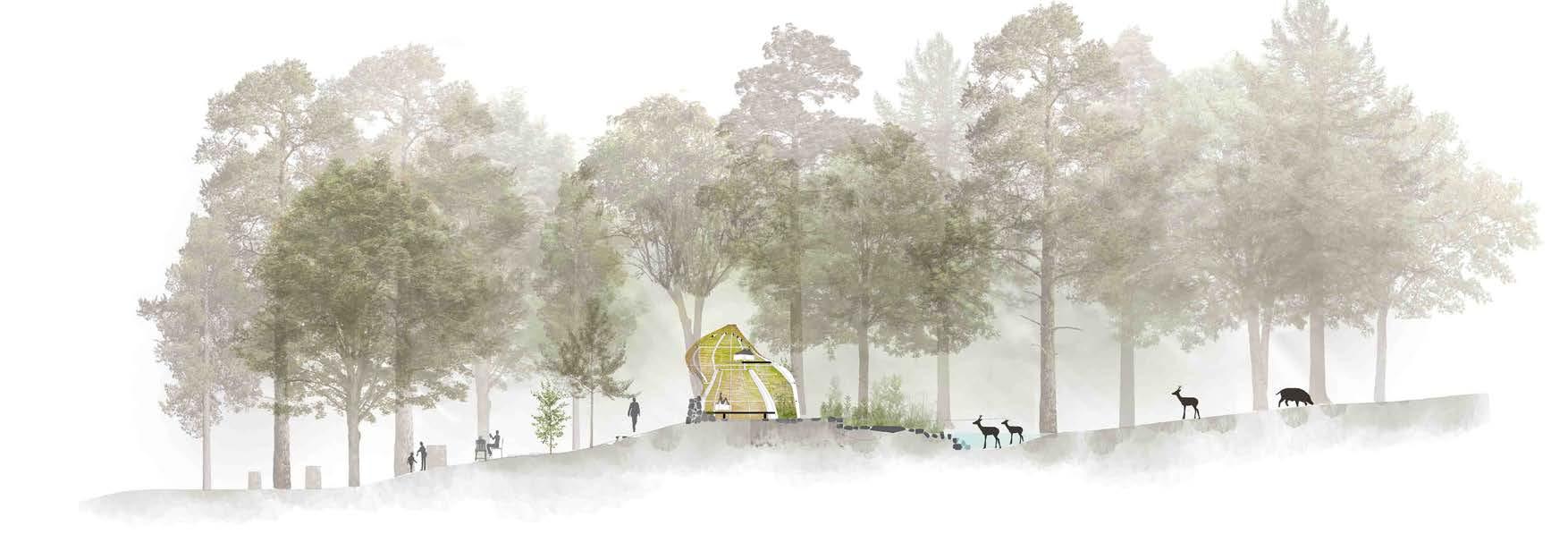
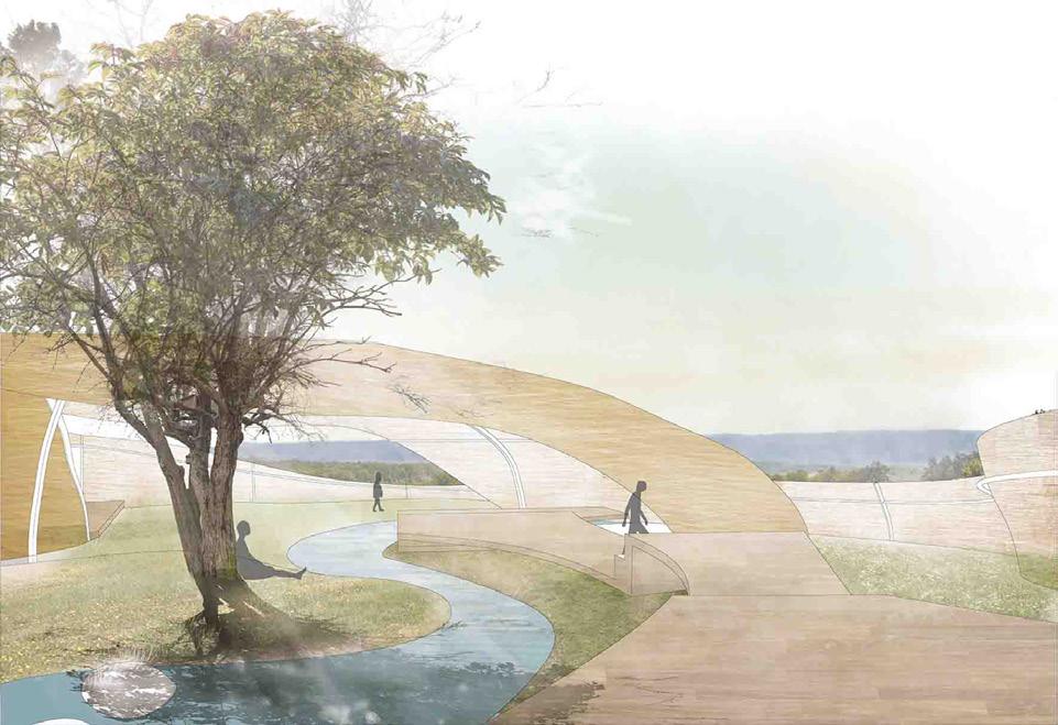
Place in the Broken Parts of the Shishigaki, integrating Shishigaki and topography. The Outer Wall expands as paddy landscape, integrating with outdoor space to become a dining area.

During the winter hunting season, the facility is open for hunting experiences. In spring, it transforms into an educational space for nature studies. Throughout the year, it serves as a facility for processing and managing the removal of wild animals.

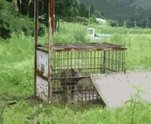

Provided experience

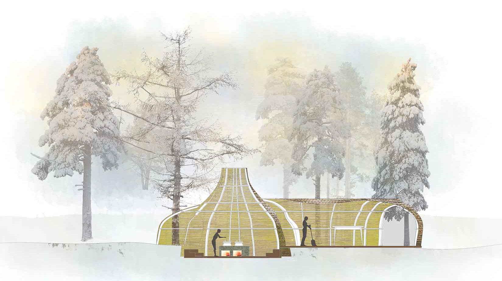

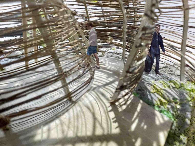
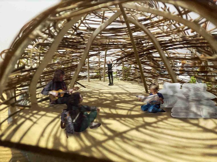
The cobblestone flooring seamlessly extends into the indoor space. Walls are layered like shells, protecting the living areas.
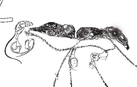
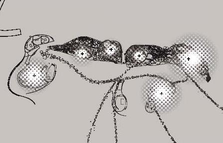
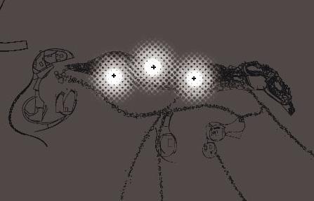

At night, human spaces emerge visually, allowing people to spend time within the realms of wildlife.
Co-author Akihiko Ono
Waju
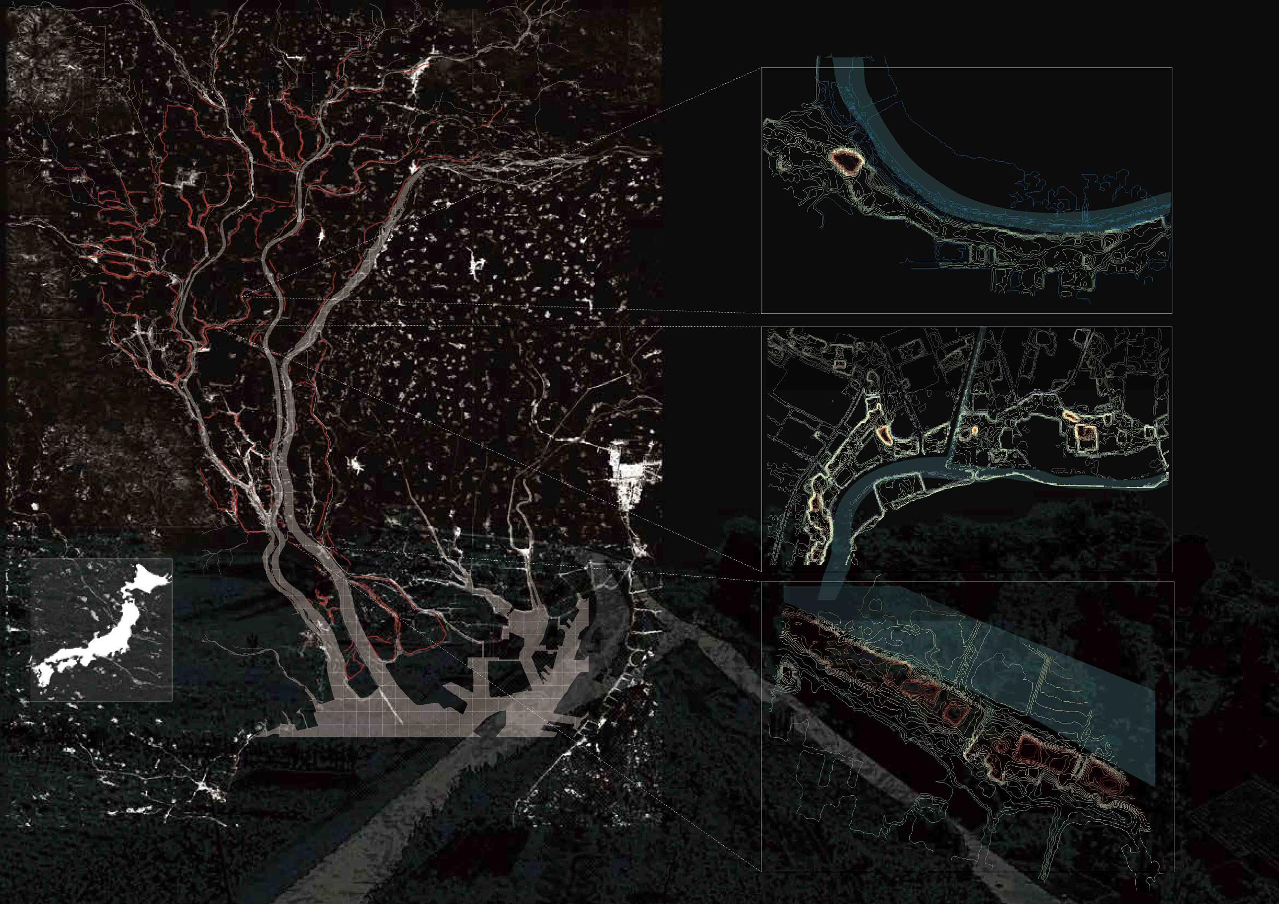
This study aims to clarify the composition and spatial features of houses and shrines on dikes in flood-prone areas in Japan.
The Nobi Plain in central Japan is a unique flood-prone area where representative rivers in Japan are concentrated in one area. Since early modern times, the area has constructed dikes that surrounded settlements and farmland, known as “ Waju”.


Not All Dikes Are Flat
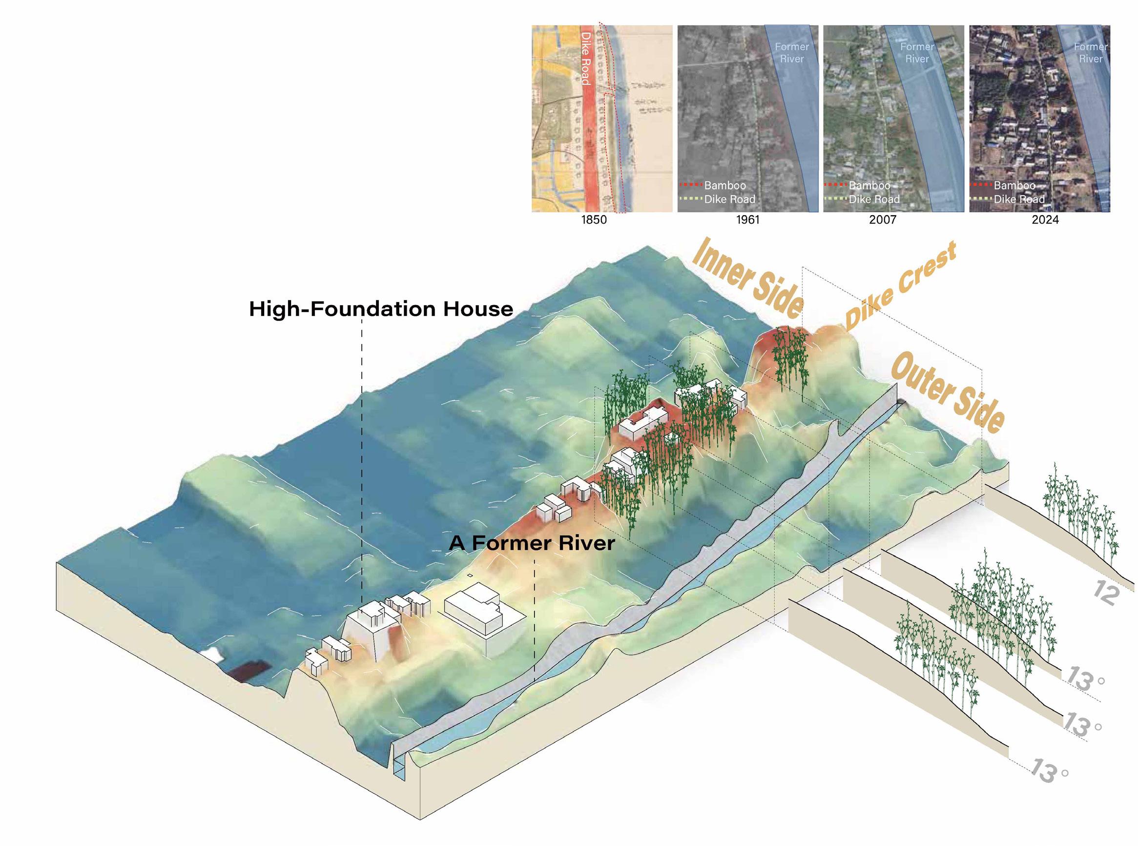
In dike-top settlements, houses are sometimes built on the outer slope of the dike. Additionally, there are points higher than the dike crest due to stone walls or embankments. These elevated points often host shrines or residences.
Case: Fukutsuka 5
Predicted flooding level
Case: Fukutsuka 7
Predicted flooding level
Case: Fukutsuka 9
Predicted flooding level
Case: Sango 1
Predicted flooding level
This cross-section shows the longitudinal section of the Fukutsuka Waju dike road, indicating the side on which the foundation is located, its height, and land use. In some cases, the entire site is elevated, while in other cases, only a part of the site is elevated. This creates a landscape that differs from many of the settlements that are at the same level as the dike.
In the dike settlements, continuous premises forest are often observed, typically planted towards the northwest for windbreak against seasonal winds. Additionally, bamboo contributes to the reinforcement of embankments. To clarify the characteristics of bamboo groves facing riverbanks, an analysis of changes in area and slope inclination will be conducted.
Connecting to the Town and Creating New Interactions
Fall 2022
Individual
Undergraduate Academic work
Site:Higashi Sano station, Osaka, Japan
Supervised by Prof. Katz Miyahara
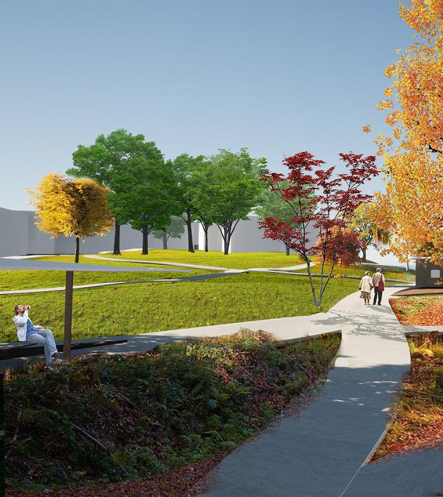
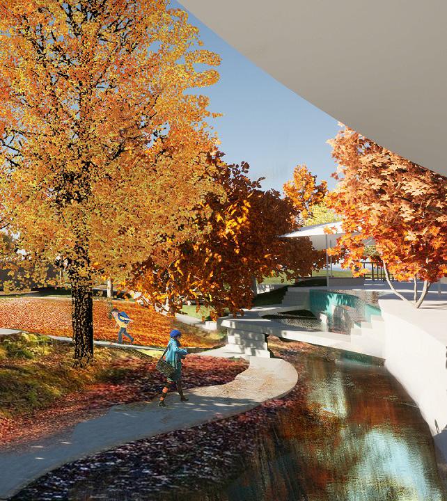
At present, Higashi-Sano Station functions merely as a transit point, with the station front becoming desolate due to the surrounding roadside stores. The station’s utilitarian spaces restrict human activity.
This proposal aims to transform the station from a closed, monotonous place into a space encompassing a plaza where people can freely gather, similar to a park. This new plaza will facilitate a natural interaction between those stopping by and those waiting for trains, gently connecting the previously fragmented residential areas.
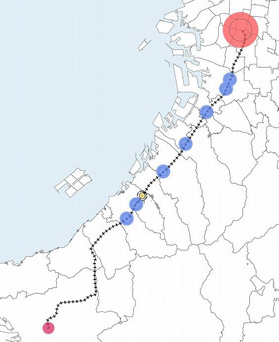

The line connects to Osaka City, causing a bias in station use during the morning and evening. Since the neighboring station is a stop for express trains, the users of this station are limited to nearby residents.

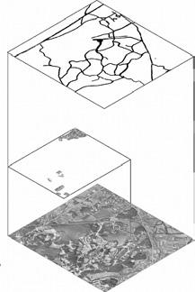

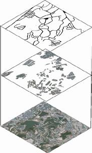

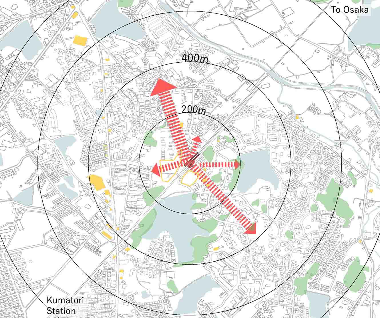
The surrounding topography, ponds, and woodlands create a space that feels enclosed and close to residential areas.


Due to the wall at the back, the only view is over the tracks, making the act of waiting solely focused on the tracks.


A space that transforms from a closed, monotonous area into one where people can freely gather like in a park, encompassing a plaza where both visitors and those waiting for trains coexist.
Distributing Spaces
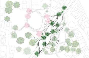
Create paths that connect different levels and offer multiple
Establish a green axis over the railway
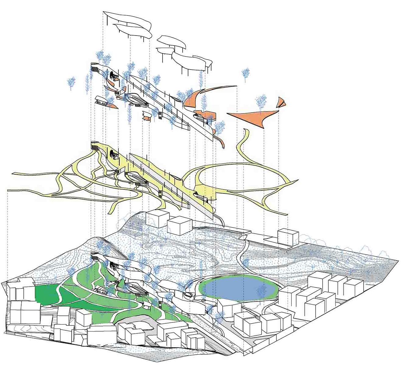
Platform
Cafe
Bus Stop
Deck
Bench
Farmer´s Market
Moon-Viewing Terrace h, Reflecting Pool
Cascade
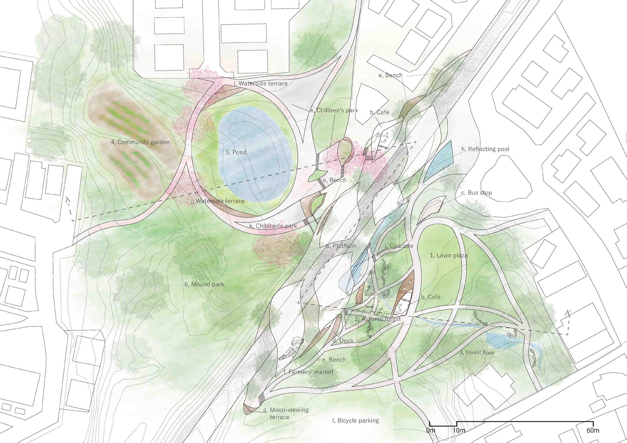
Waterside Terrace k, Children´s Park l, Bicycle Parking
S=1:1000 1, Lawn Plaza
Mound Park Landscape
Autumn Forest
Forest Area 4, Community Garden 5, Pond

8:00PM
Reflective view of the landscape in the pond.
Children using the market deck as a playground.
The deck in the forest becomes a place to stay within the station.
Returnees buying dishes from the market.
6:00PM 3:00PM 7:00AM 2:00PM 10:00AM
Run or walk in the forest.
Children walking on the reflecting pool.
Blend into the landscape within the residential area.
West Elevation - Time, Station, and Daily Life 10:00AM 7:00AM 2:00PM 4:00PM 9:00AM
Become a place for community meetings.


People waiting for trains mix with children in the park.
Stop by the cafe at the entrance.





The mound becomes a place for children to play.

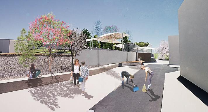
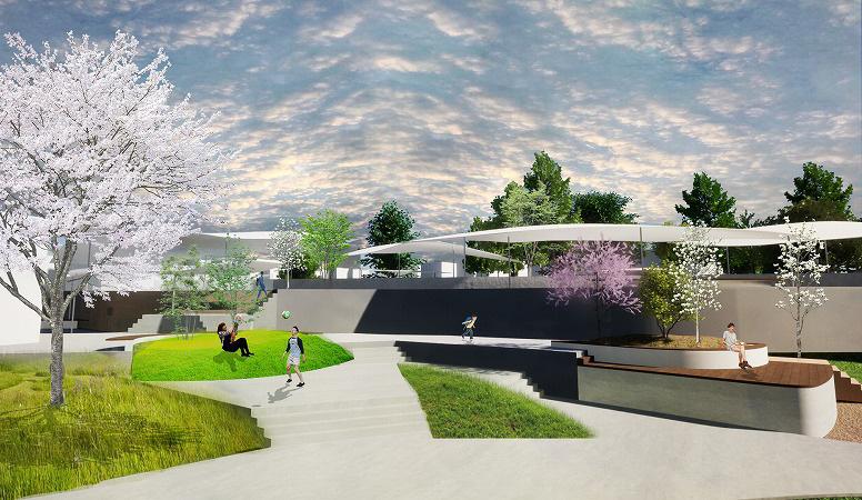
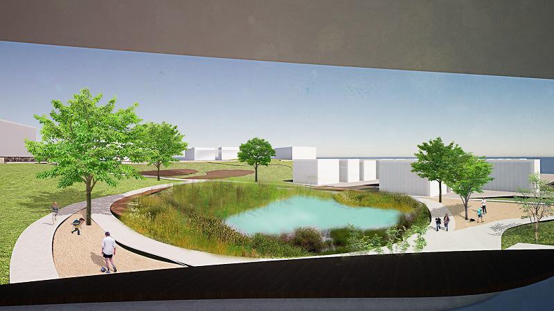
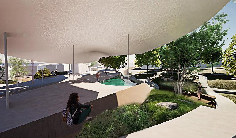
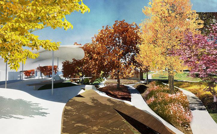

In the morning, the west side platform becomes active along with the plaza.
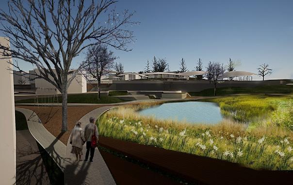
In the quiet dawn of winter, it becomes a peaceful walking path.
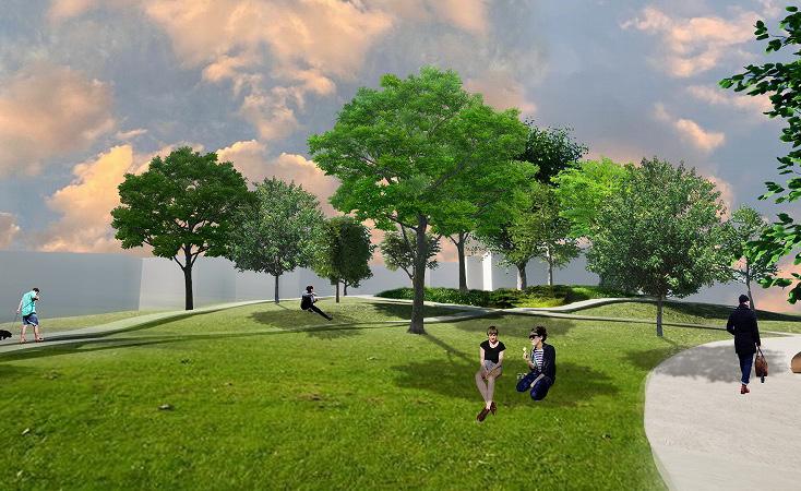
The forest and autumn woods serve as a buffer, creating a quiet space.
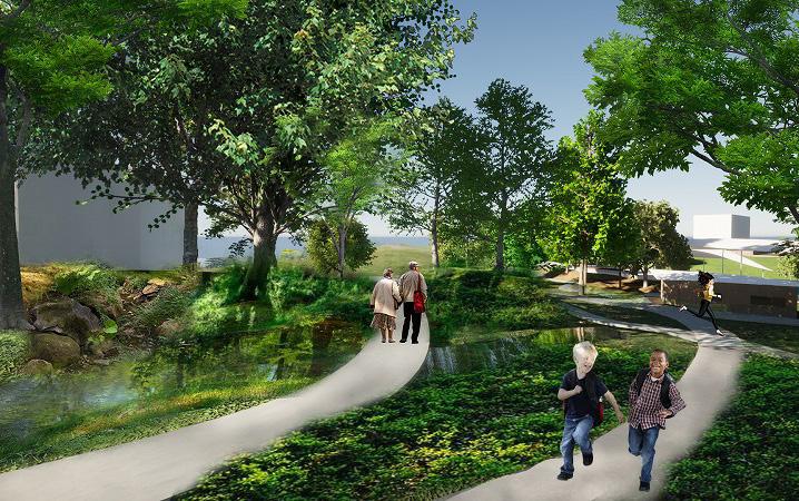
Different natural spaces are created by the topography and paths.

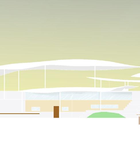
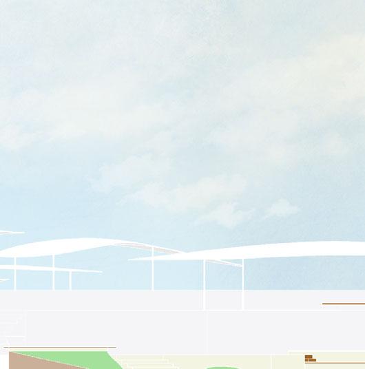
A white roof emerges in the distance. The divided roof provides spaces designed on a human scale within the long train platform(below).
The plaza on the east side serves as a geographical link between the station and two residential areas (above).
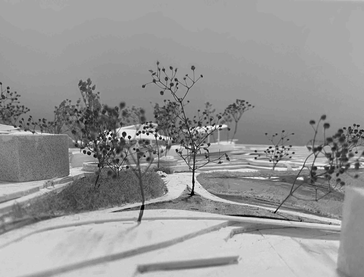
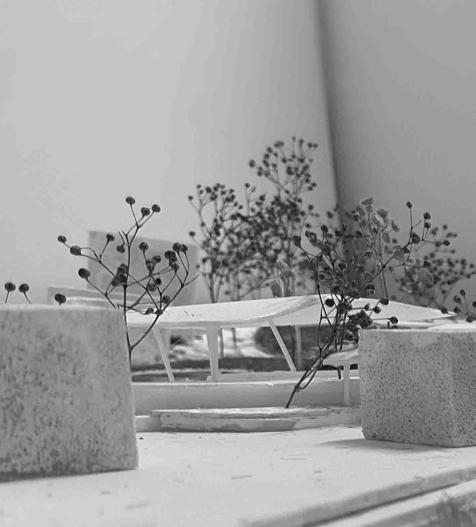

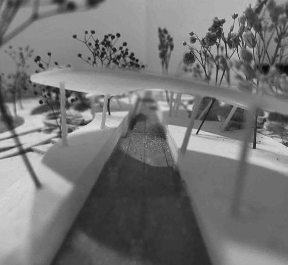
U30 Open Design Competition, Awarded Spring 2024 Group work
Site:Seto City, Aichi, Japan

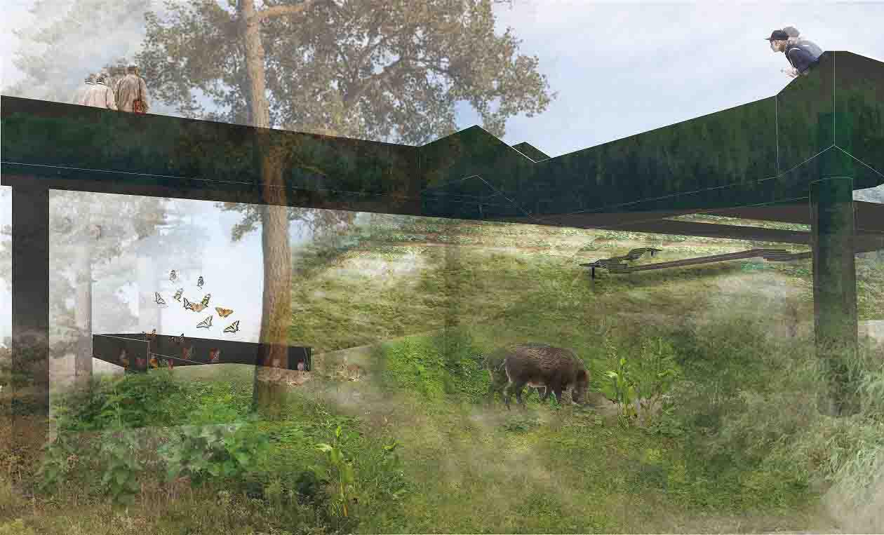
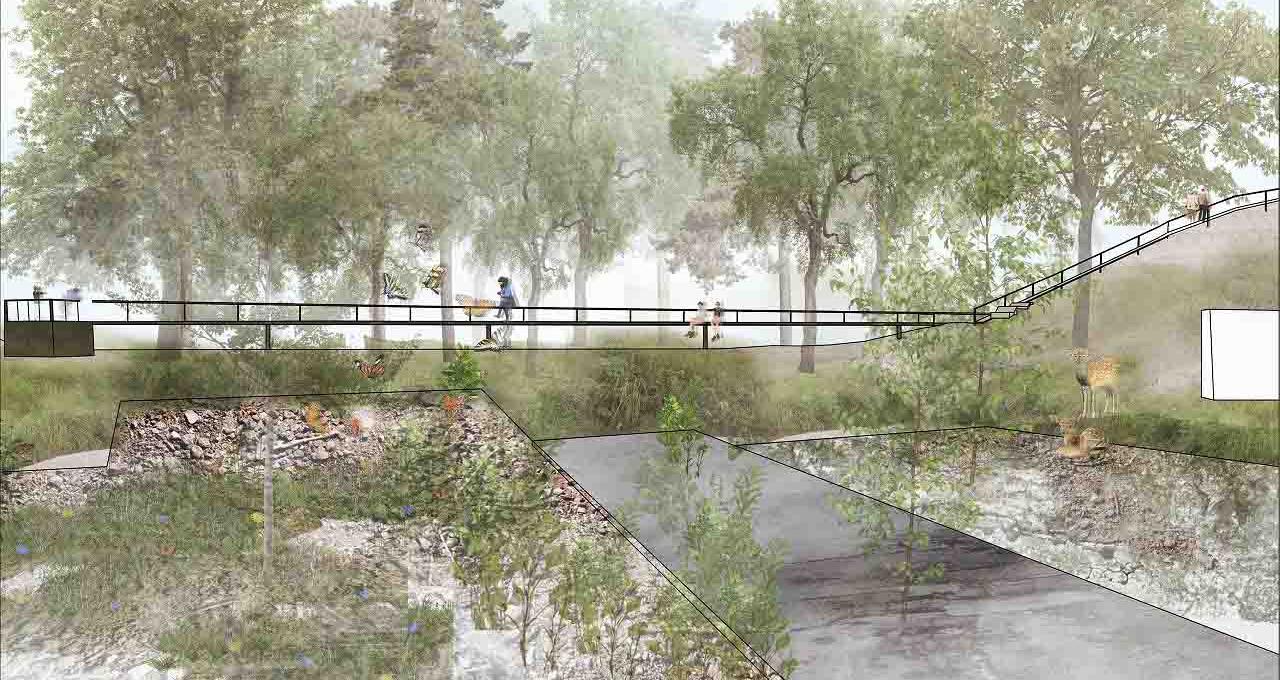

This open-pit minig site, once a hill is now a vast depression. After 1948, the site rapidly expanded, becoming a part of Seto City’s long run pottery industry.
Our proposal explores ways to transition this pit to its next stage, preserving its traces rather than merely filling it.
We propose spaces that evolve with the backfilling process and a ring that outlines the existing site. This approach allows for the slow transformation of relationships among people, plants, and animals, creating the potential for new landscapes.

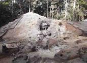
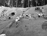
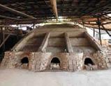


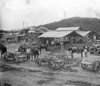
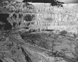
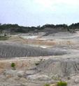
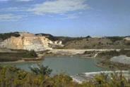






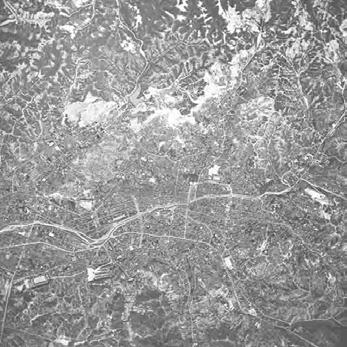
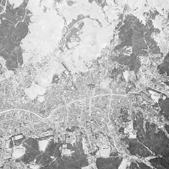
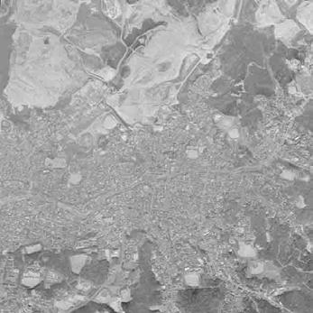
Seto city has cultivated a pottery culture since ancient times. During those times, people did not settle permanently but lived while changing excavation sites.
After 1948, the scope of openpit excavation expanded rapidly.


Establish a promenade encircling the current excavation site, which will remain unchanged, contrasting with the dramatically transforming terrain. The function of the promenade will adapt to the surrounding environment.


Six human-scale spaces are inserted into the vast area of the excavation site, allowing visitors to perceive the relative size of the excavation area through these spaces and the circular promenade.
Retaining walls are inserted step-by-step along the existing work truck routes, followed by backfilling. The topsoil is transplanted from nearby new excavation sites. These truck routes remain as paths where tall trees cannot grow.

Allows visitors to experience steep terrain up close.
Work Path
Retaining walls are inserted along the path.
Roof Remembering the Topography
As the terrain changes with backfilling, the nature of the space also evolves in tandem.
The boundary between the remaining terrain and the terrain being buried becomes a contrast between the old and new landscapes.
The backfilling process progresses from areas that are no longer in use.
Roots are blocked by retaining walls Paths where tall trees cannot grow.


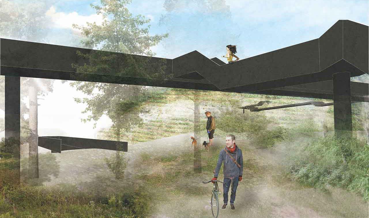
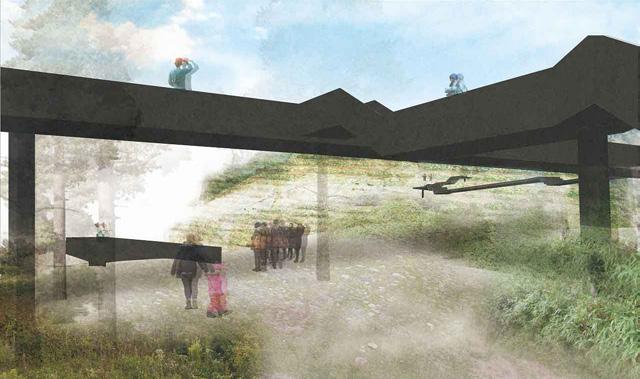
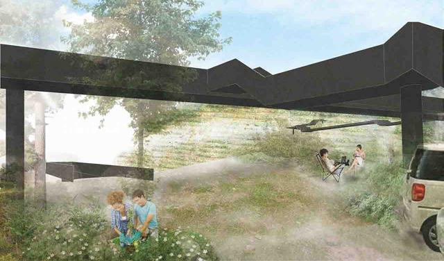
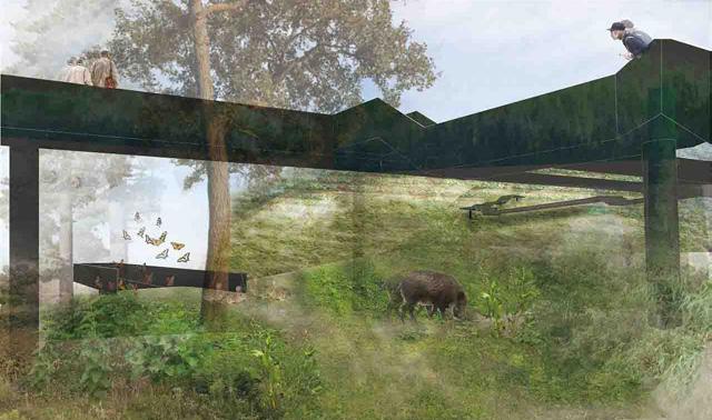
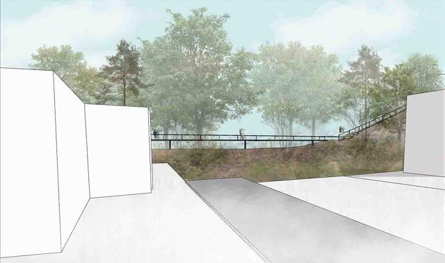

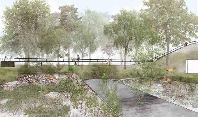
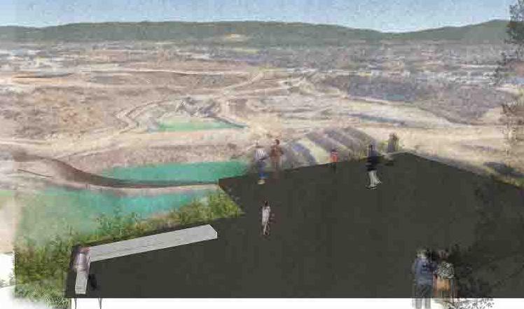
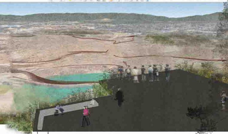

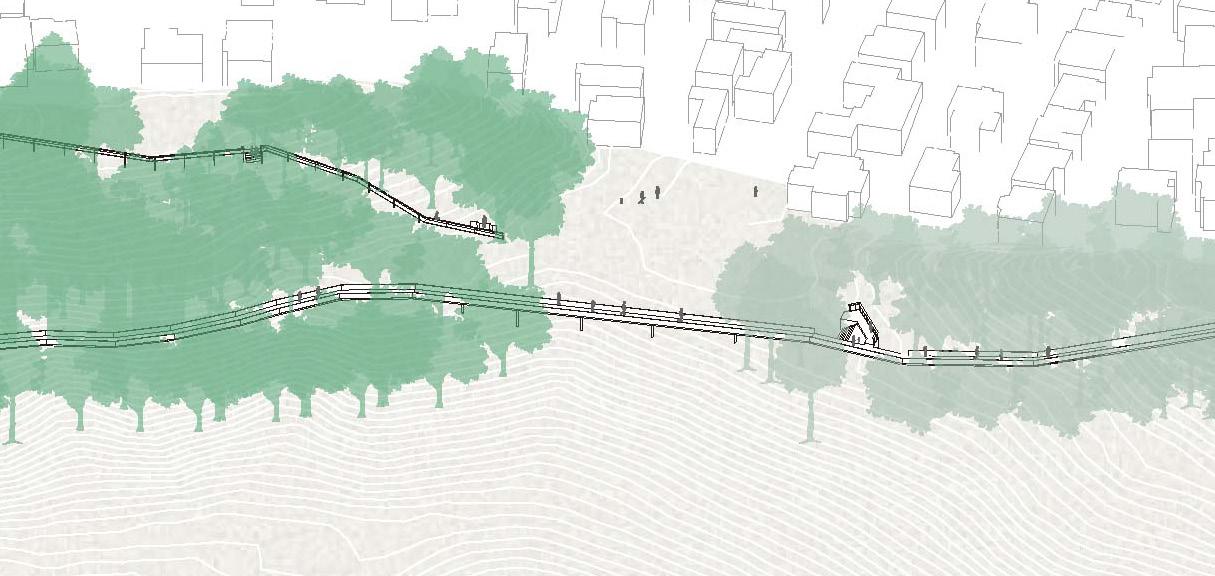


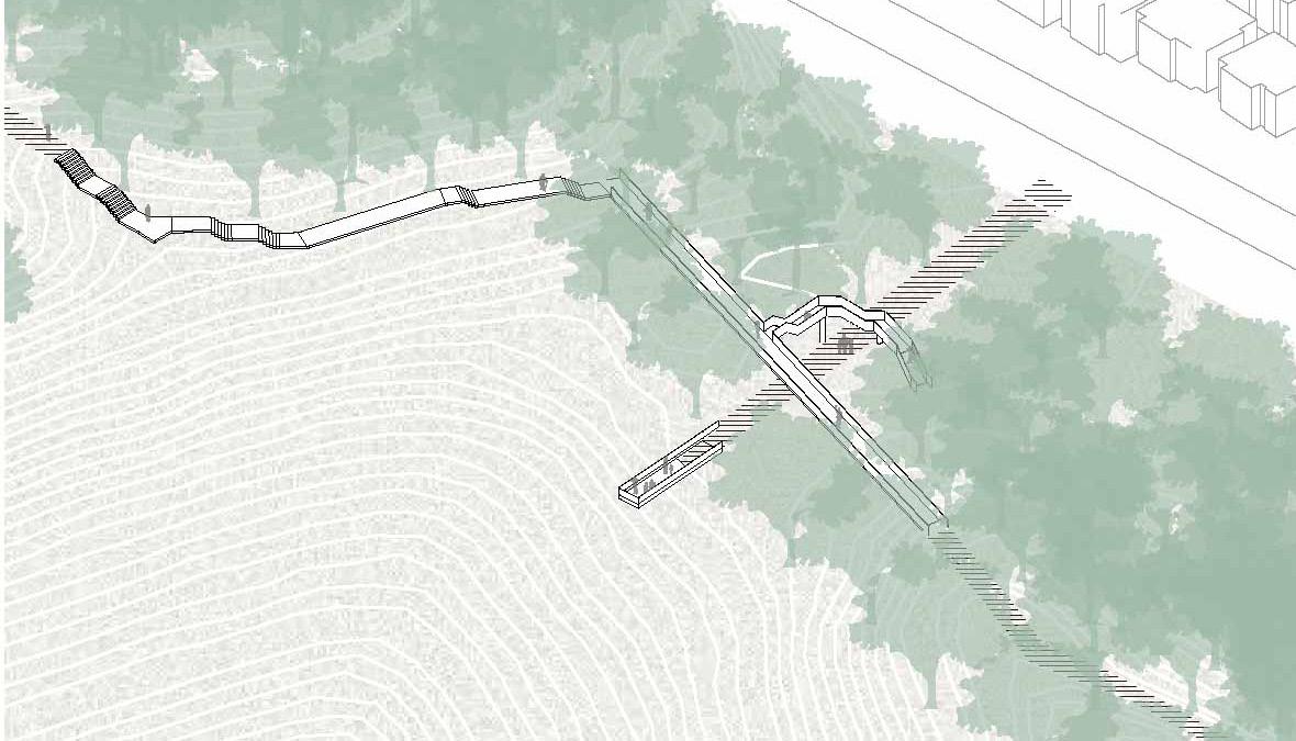
In response to the dramatically changed terrain, the circular promenade slowly gains new significance and is integrated into the local community.
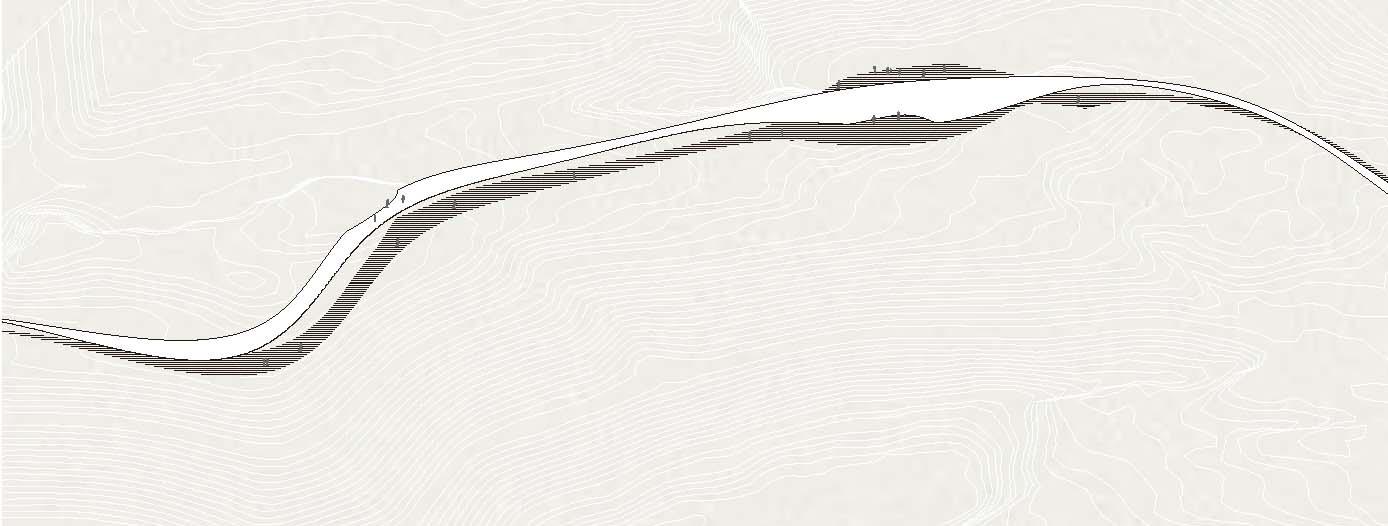
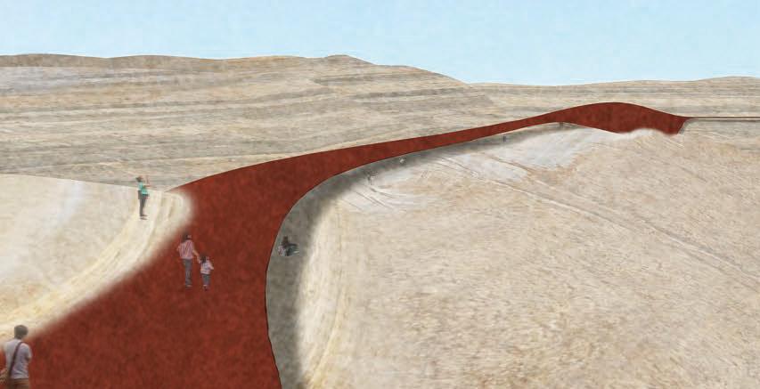
Present: A softly draped roof aligns with the terrain.


THANK YOU FOR YOUR TIME