



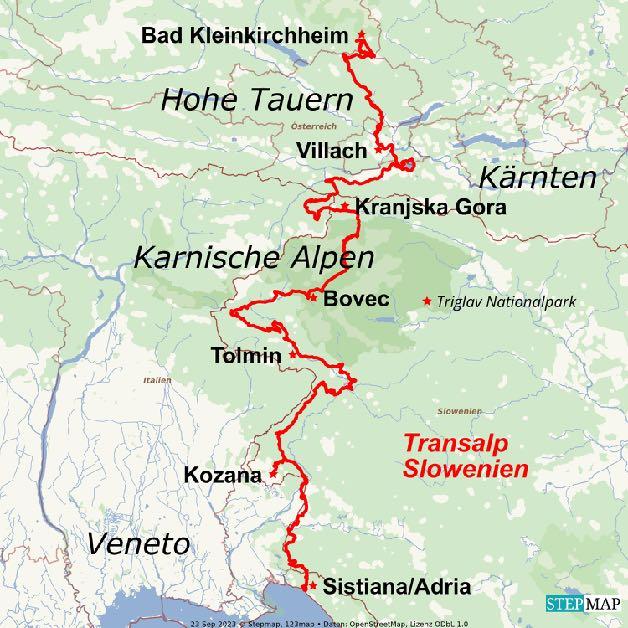
This tour is designed for all our Trailfans, because we redesigned the whole route specifically for advanced bikers. Spectacular Beginning in Bad Kleinkirchheim, when we start into the longest Flowtrail of the Alps. Via the triborder area and trails we reach Kranjska Gora. We experience the rural part of Slovenia on the old Military roads up the Vrsic Pass and wild trails along the blue Soca and the border ridge. We cycle through the vineyards of the Collio area and take a dip into the sea in Bella Italia. It doesn’t get more adventurous than this. The video of the tour on YouTube: https://youtu.be/5wqloqEpj3Y
Before we dive into the lonesome and wild Slovenia, we enjoy the finest Trails in Carinthia. Via Brenn Lake, Afritzer Lake and Faaker Lake as well as the triborder area we reach Kranjska Gora, at the foot of the Triglav National Park. We reach the wild Soca Valley via the Stol and wide plateaus with views of countless peaks in the Julian Alps and the Karawanks. The Slovenian border ridge with a pasta break and trails to Smartno are another highlight. Tuscany feeling in the Collio area and as a grand finale the jump into the Adriatic Sea.

www.go-alps.com

I have been pursuing this idea for a long time: To experi ence the wild and untouched nature of Slovenia, not only on an easier tour like our Transalp Adriatic Sea, but on a more challenging Transalp combined with as much trails as possible. This was a complete success with the Tran salp Slovenia. The tour offers new landscape highlights and plenty of high alpine experiences every day. A fullsuspension Mountainbike and enjoy being o tracks, are mandatory.
Kurt Salhofer, ALPS-Guide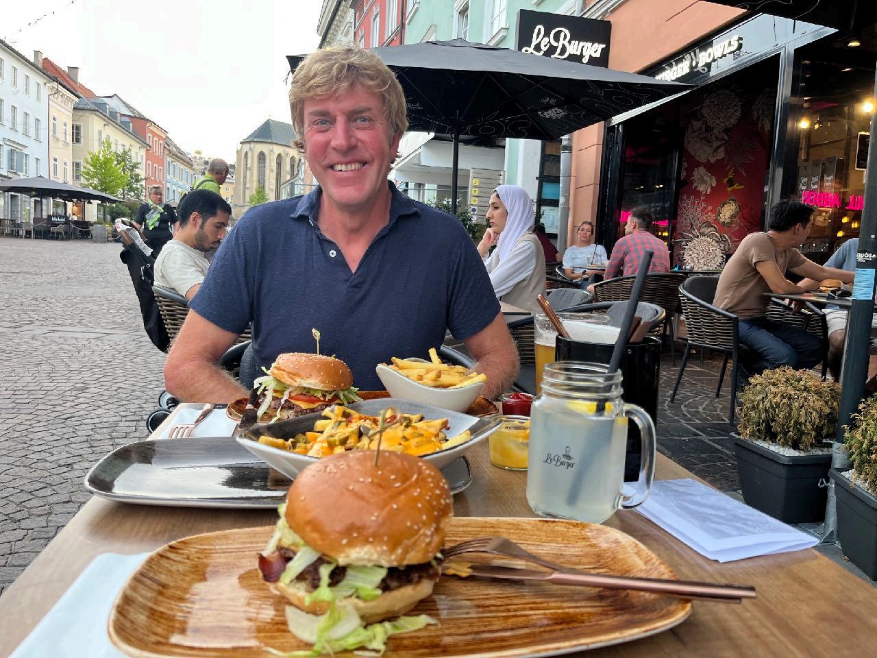
www.go-alps.com

www.go-alps.com

www.go-alps.com

www.go-alps.com

www.go-alps.com

www.go-alps.com
www.go-alps.com

www.go-alps.com
www.go-alps.com

www.go-alps.com
www.go-alps.com

www.go-alps.com
www.go-alps.com
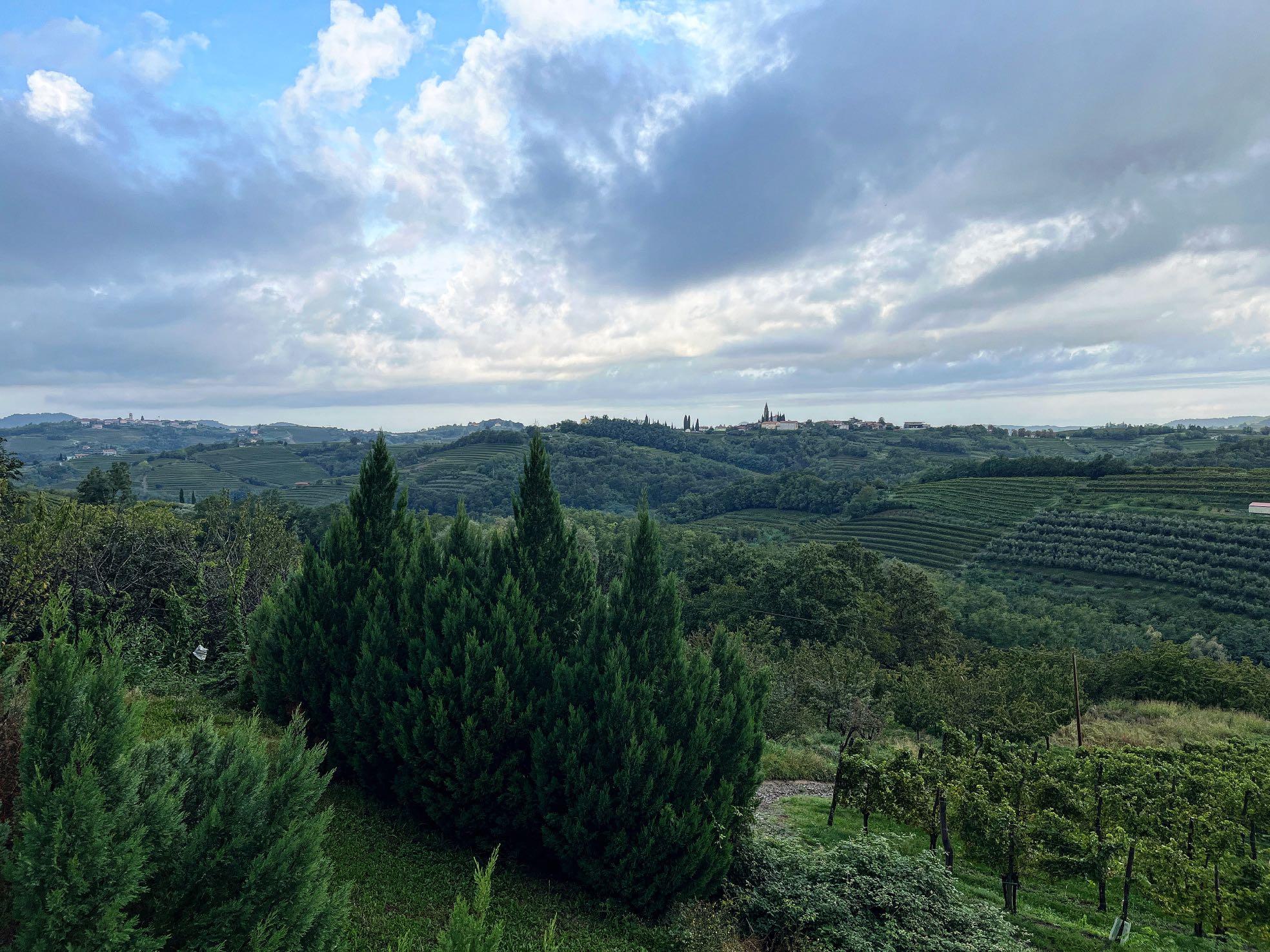
Highlight Nr. 8: The vineyards of the Collio
www.go-alps.com
www.go-alps.com
www.go-alps.com
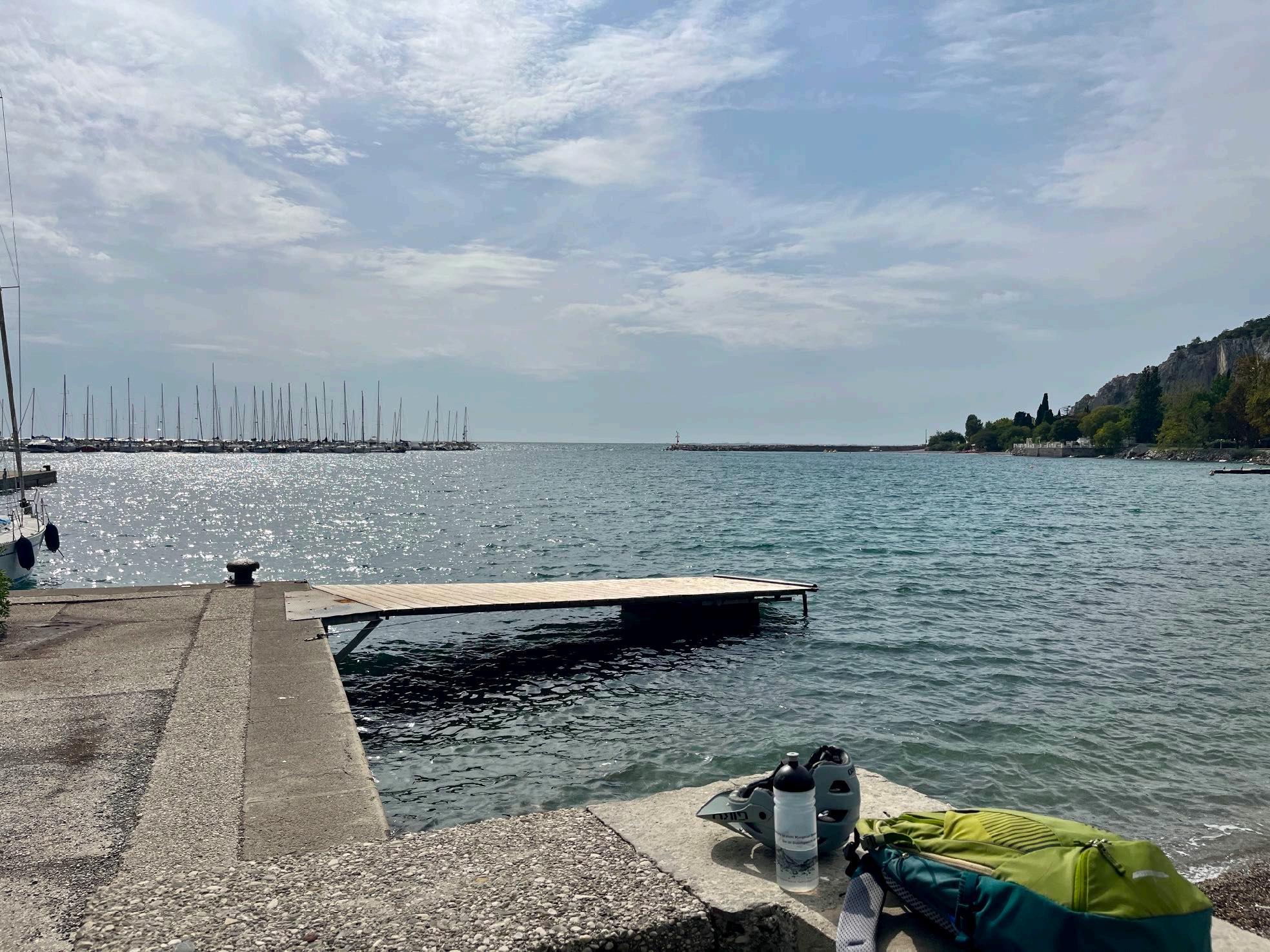
Highlight Nr. 10: Arrival at the sea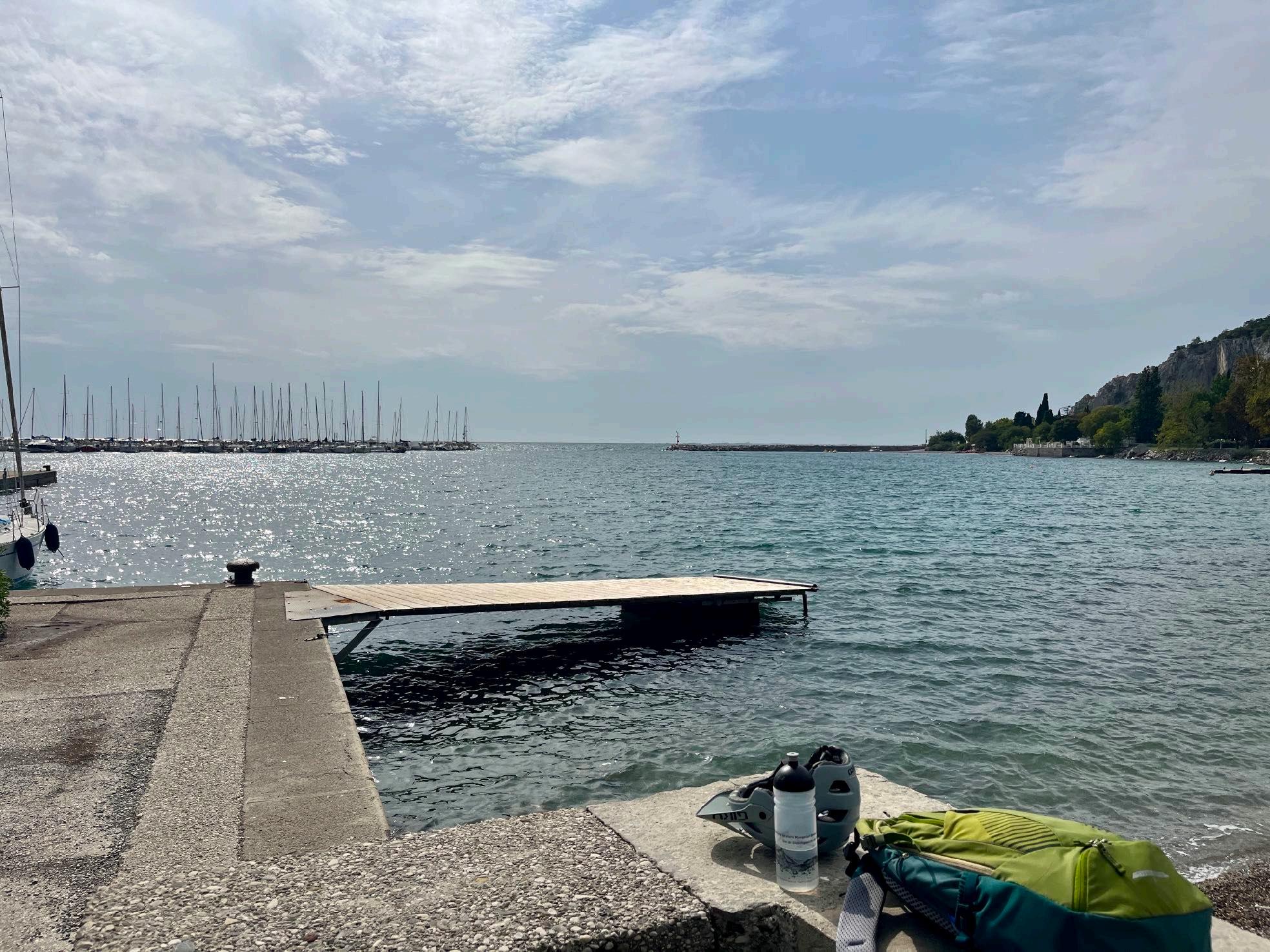
www.go-alps.com
www.go-alps.com
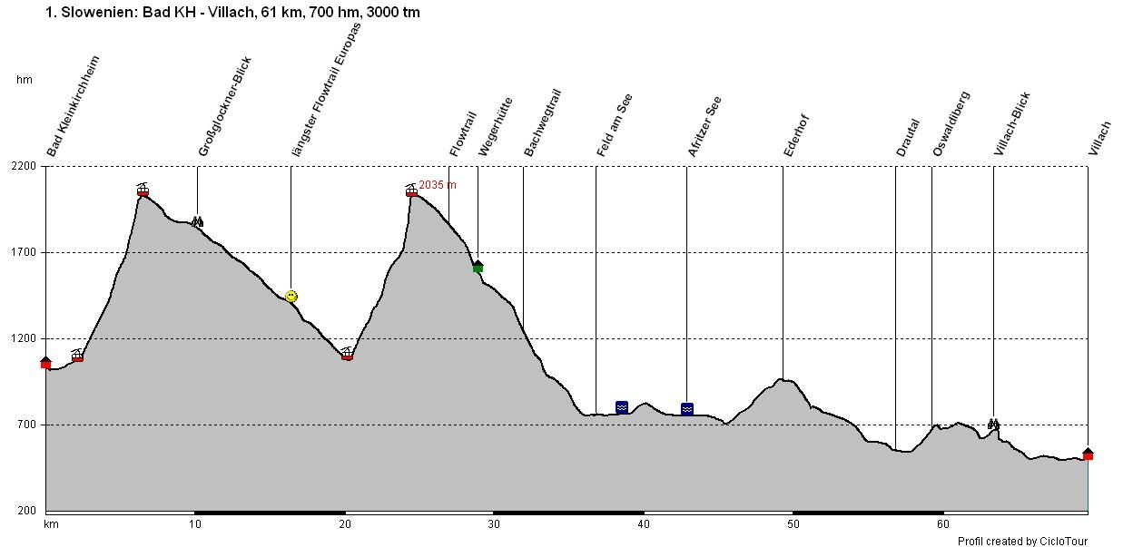
Transalp Slovenia 1. Stage - 61 Kilometer - 700 m elevation gain from Bad Kleinkirchheim to Villach

www.go-alps.com
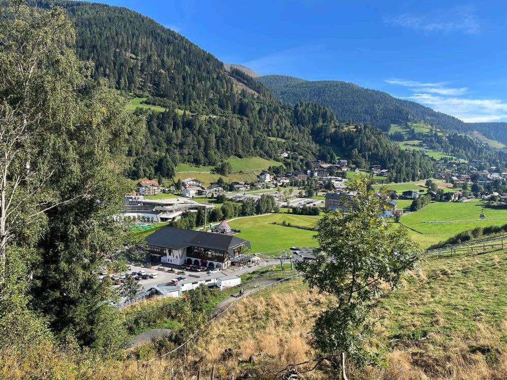
Via a nice little path in the valley, we reach the cable car within 15 minutes.
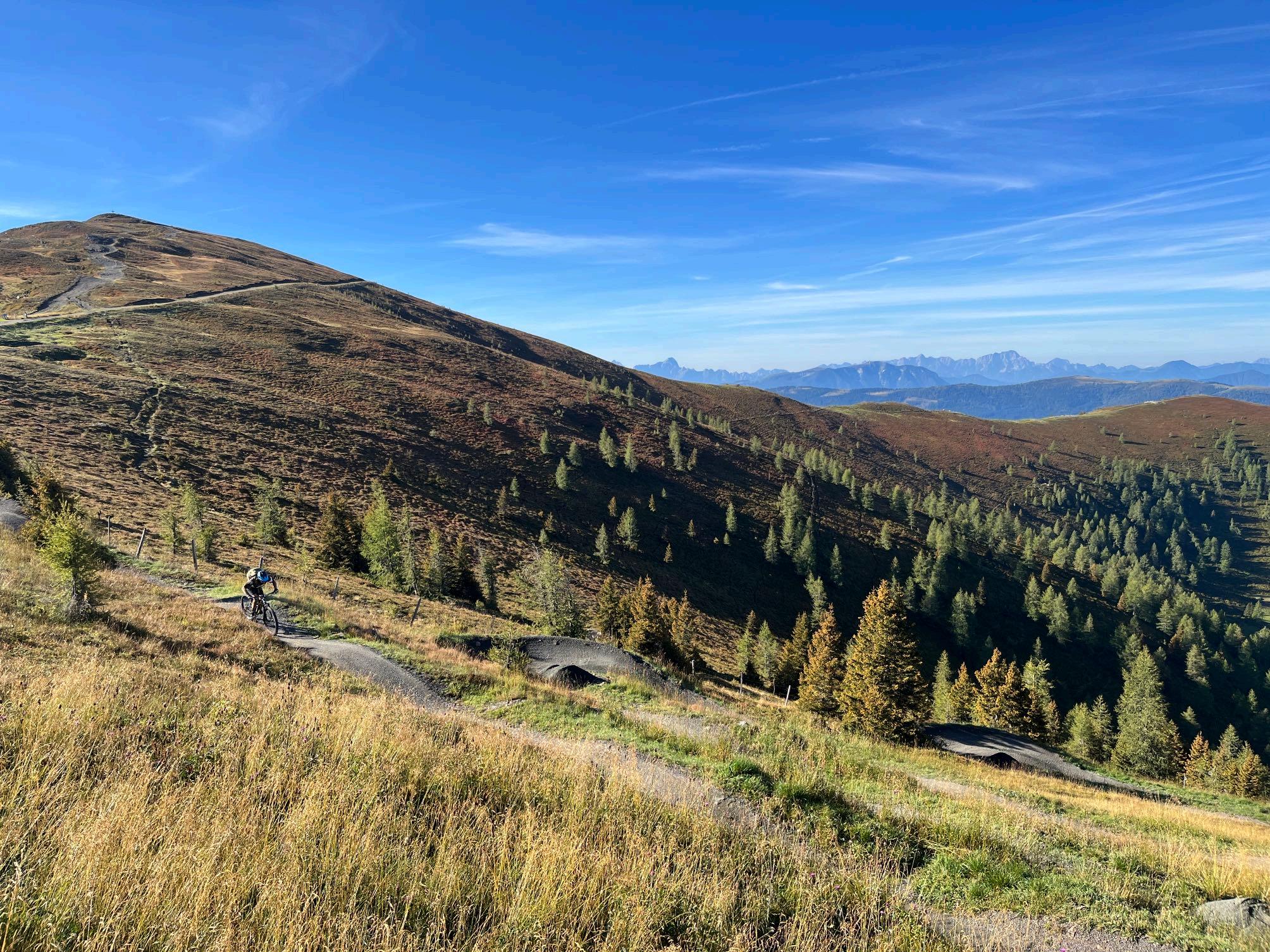
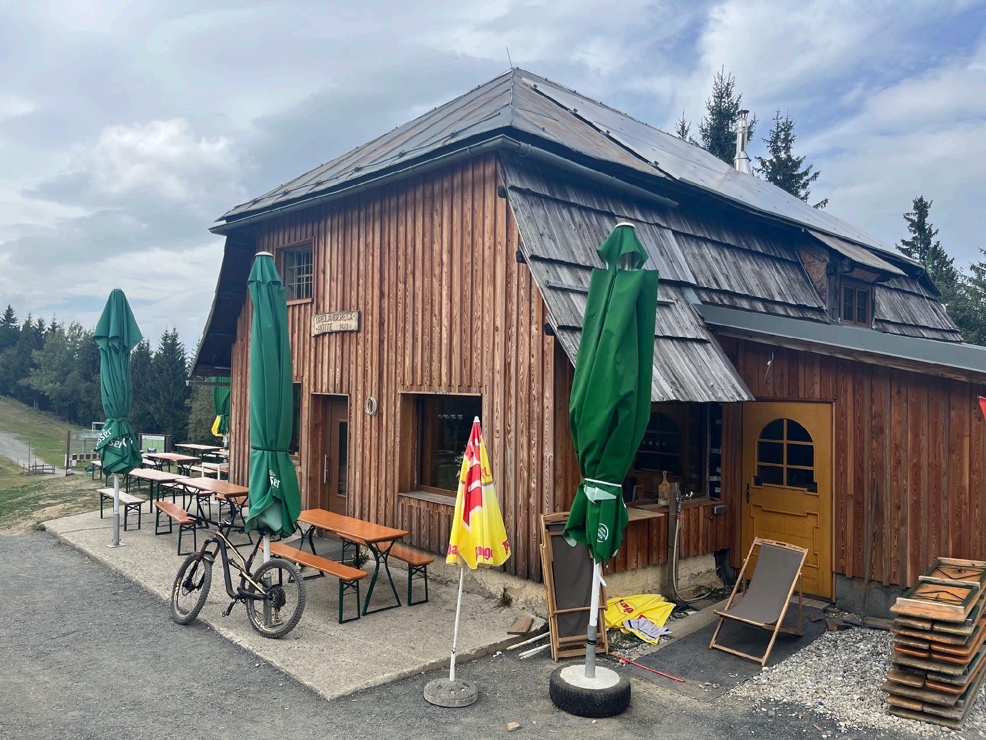
We start directly at the mountain station on the longest flow trail in Europe. A total of around 1000 meters of downhill fun with an average gradient of 8% awaits us on the gravel-fixed route. Pumps, rollers, small jumps and steep bends provide pure variety. Then it's straight back up to the mountain station. This time, however, we only ride the 1st section of the flow trail.
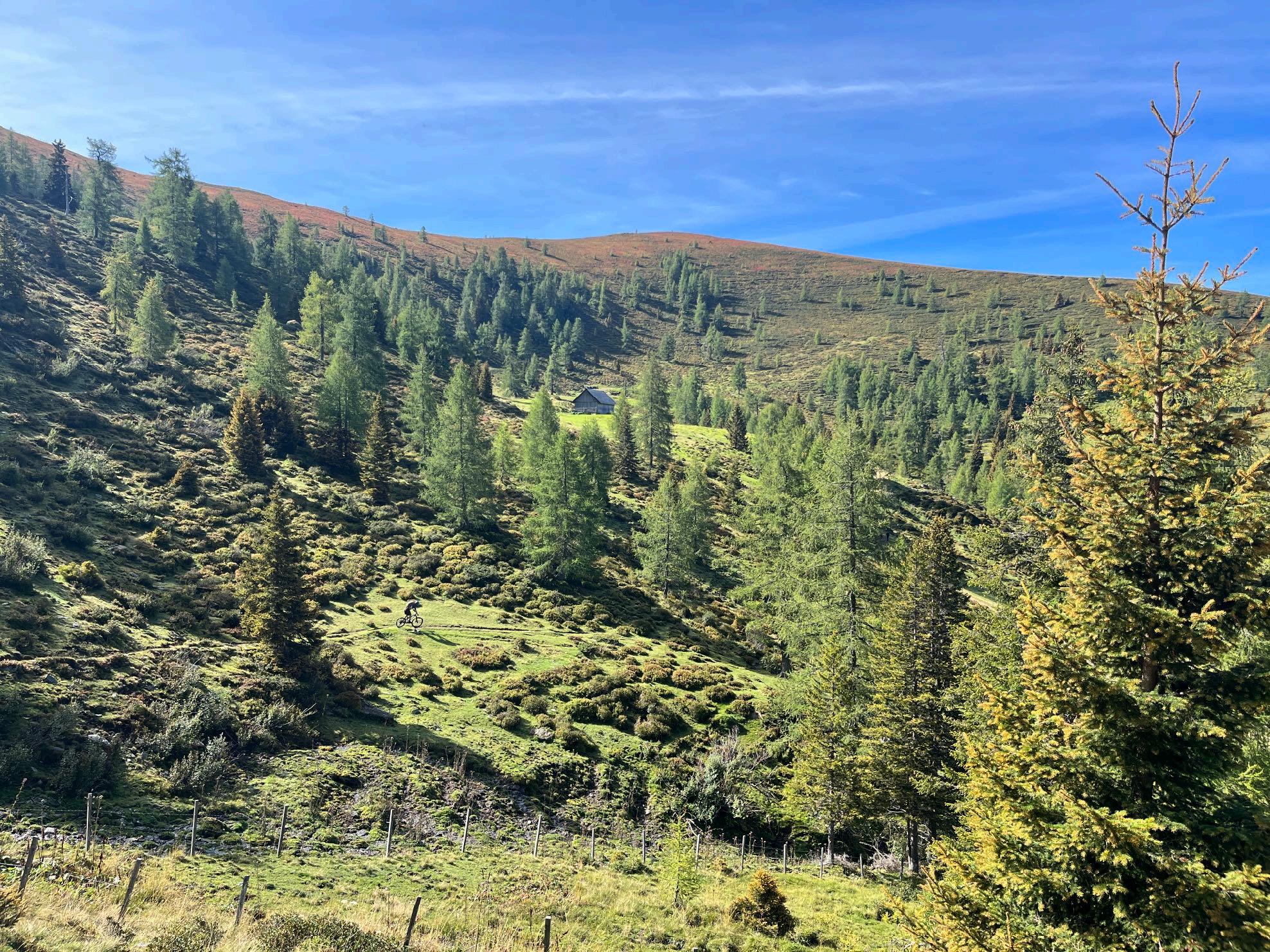
Soon, after 1,5 km we turn left and ride the first natural trail of this tour. A small path leads us downwards to our lunch break on 1500 m. We enjoy the local products in the rustic mountain hut. After lunch we roll down a gravel path towards the valley. However, we leave this path pretty quickly and reach another pleasant trail – the Bachwegtrail –in direction towards Brenn Lake. Once we reach the Toll Station, the majority of downhill meters is done for today. Passing the Brennsee Lake, we quickly reach Afritzer See Lake. We can't avoid a few kilometers on the asphalt road now.
• Europe’s longest Flowtrail
• View of the Großglockner
• Carinthian Lakes
• Trail at Ederhof
• Trails at Oswaldiberg
Some of the storm damage from 2022 is still visible today. A small asphalt road leads us a good 200 meters uphill, followed by another 60 meters of steep offroad terrain. The road leads past beautiful old farms. At the end of the day, there is another shady ascent on asphalt of a good 150 meters in altitude. We reach a small viewing rock and from up here we have a view of our destination for the day, Villach. On the descent, another small, hidden climb and a challenging trail section await. We cycle past the Lind stadium on a quiet road and reach the Drau cycle path via the new cycle bridge. The last few kilometers into the city center of Villach we can hardly process the many intense experiences of the day.
www.go-alps.com
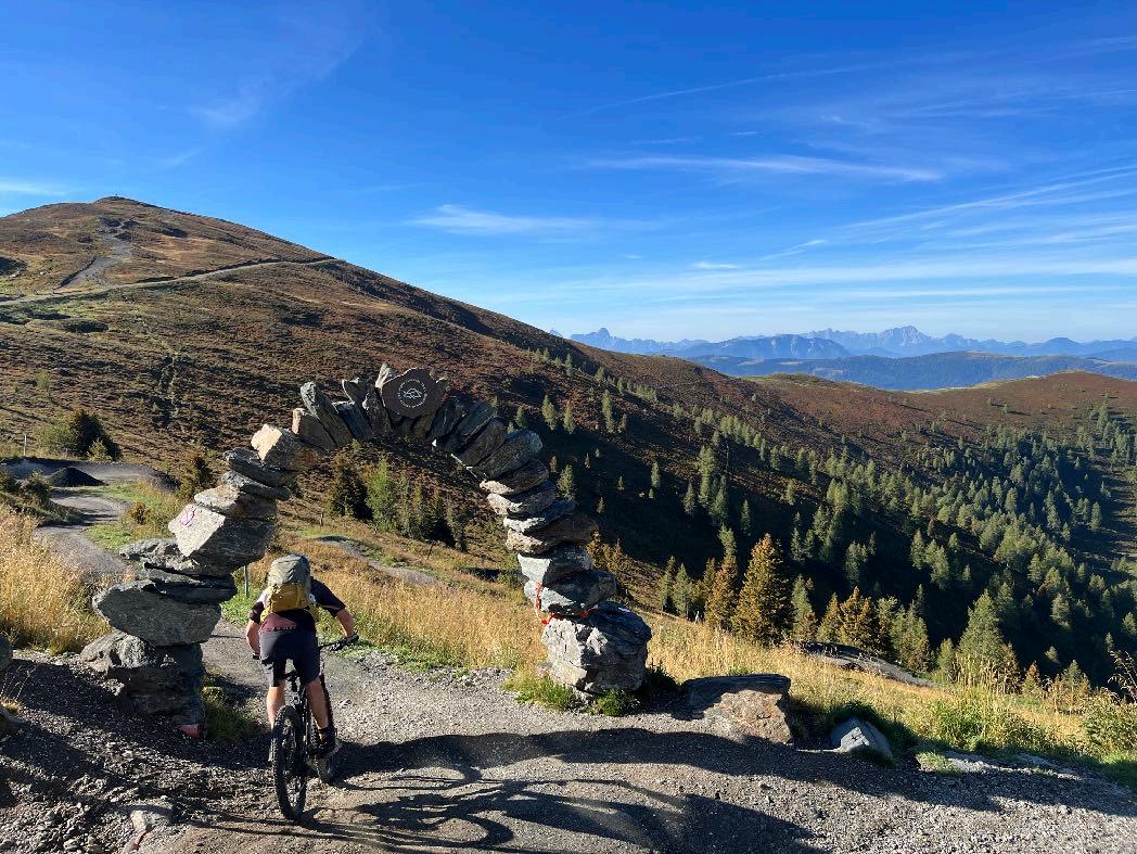

We start with 1000 meters of pure downhill fun.
Around 3000 meters of downhill await us on the first day of riding, many of them on Singletracks. The ride feels almost endless for around 15 km with a maximum gradient of 8% on the flow trail. The gravel-covered route winds its way from the Kaiserburg mountain station along the ridge over forest and meadow areas 910 meters down into the valley. Rollers, small jumps and steep bends provide variety. A positive view and controlled speed are often the key to more safety on the banks. Not only the brake pads are challenged. By the second time, we leave the trail after 1,5 km and follow into a small hiking path with some roots. A sense of balance should be developed by now. The Bachwegtrail leads next to a creek down into the valley. In Feld am See we cycle on asphalt or gravel. The ascends are mostly in the shadow, short parts on steep gravel. The last ascend brings us to Oswaldiberg. Now an alternation of gravel paths, trails, at the end again briefly challenging with many roots. The last few kilometers are easy pedaling along the cycle path to the center of Villach.
www.go-alps.com

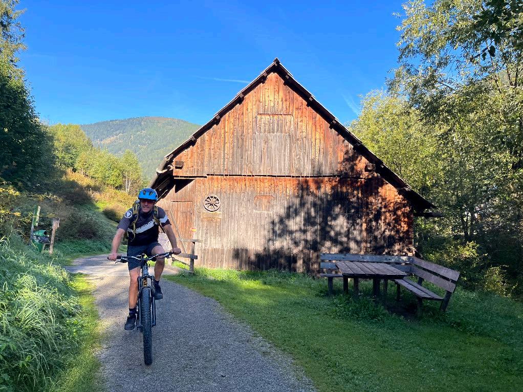


We quickly reach the cable car.
www.go-alps.com
Beautiful start in Carinthia.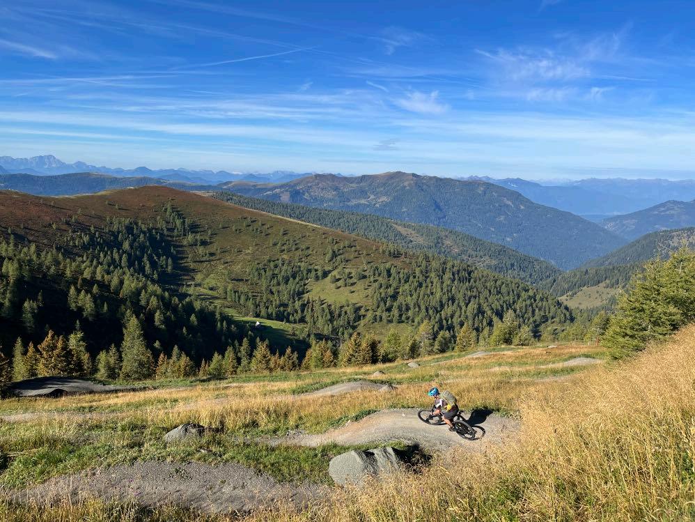

15 km Flowtrail await us.

Many pumps and rollers.
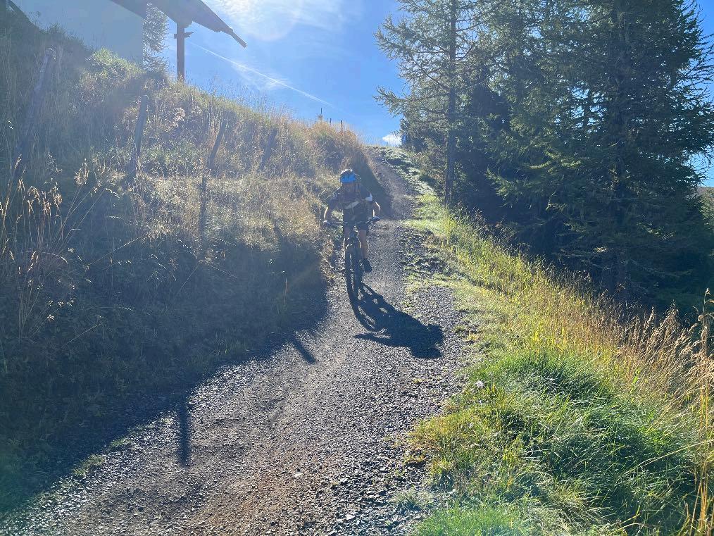
www.go-alps.com

And a lot of bends.
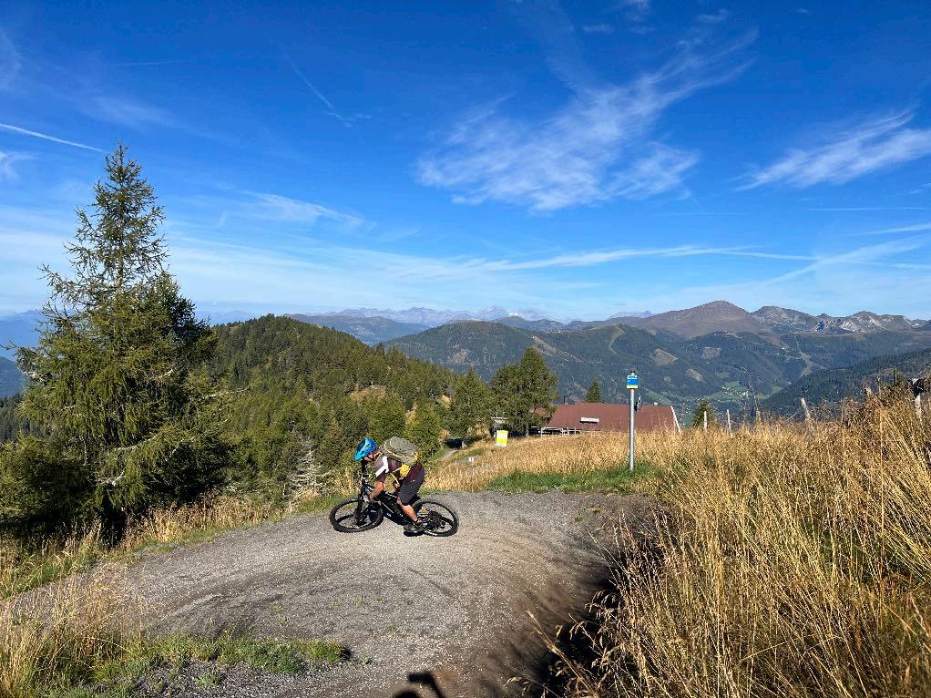
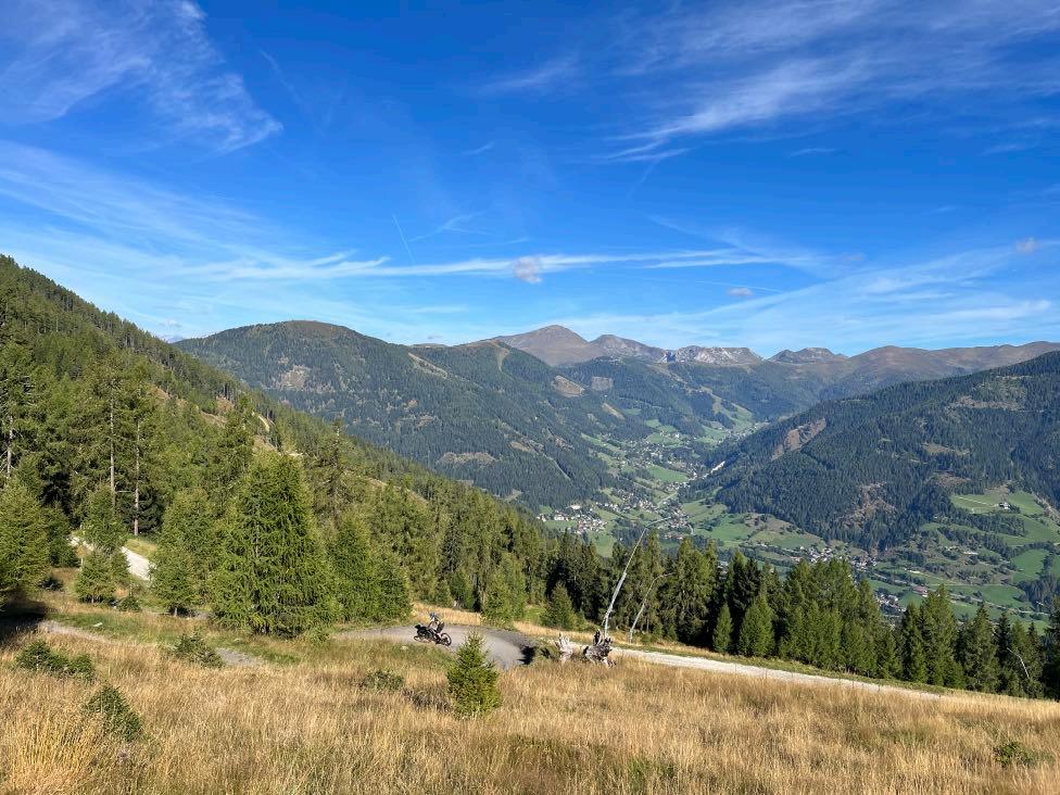

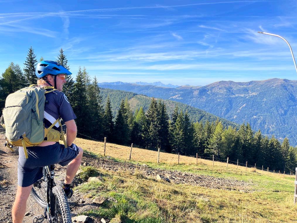
What a view.

After 1000 m of downhill.

www.go-alps.com
The cable car takes us up once again.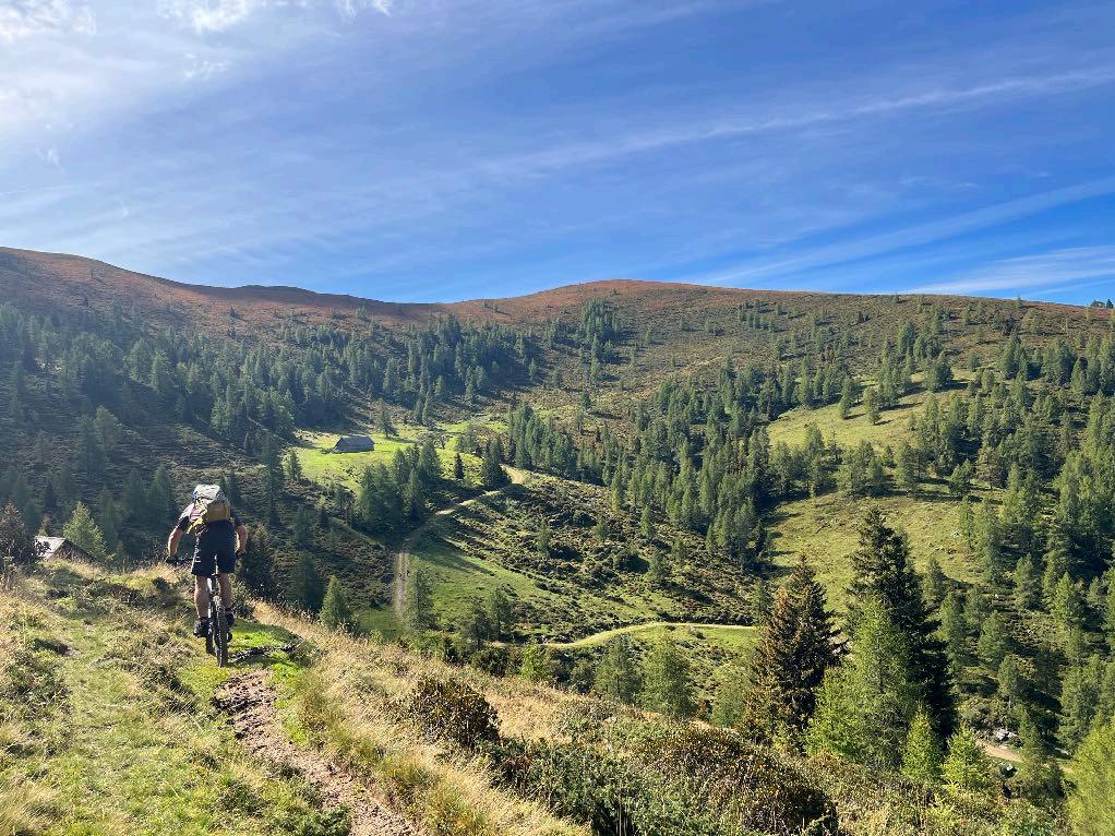

Followed by more Trail sections.
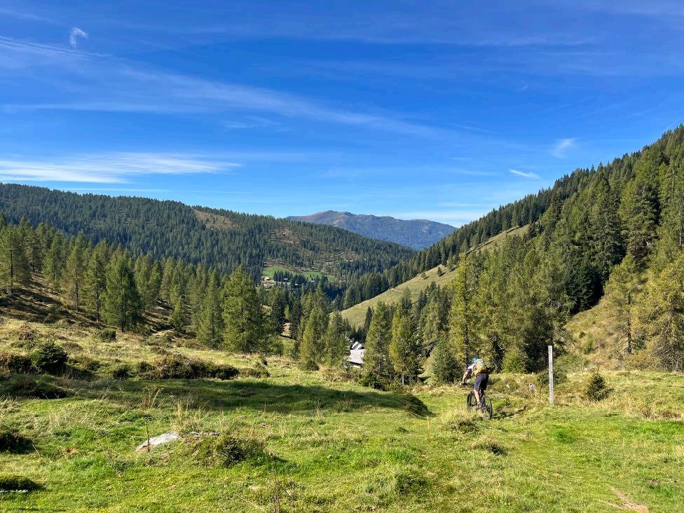

In between our lunch stop awaits us.
www.go-alps.com
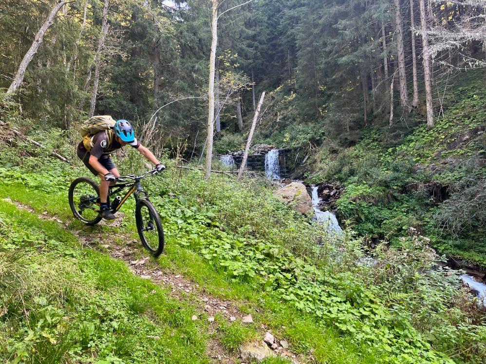

We continue on the Bachwegtrail in direction to Feld am See.


Relaxed cycling along Brennsee Lake.
www.go-alps.com
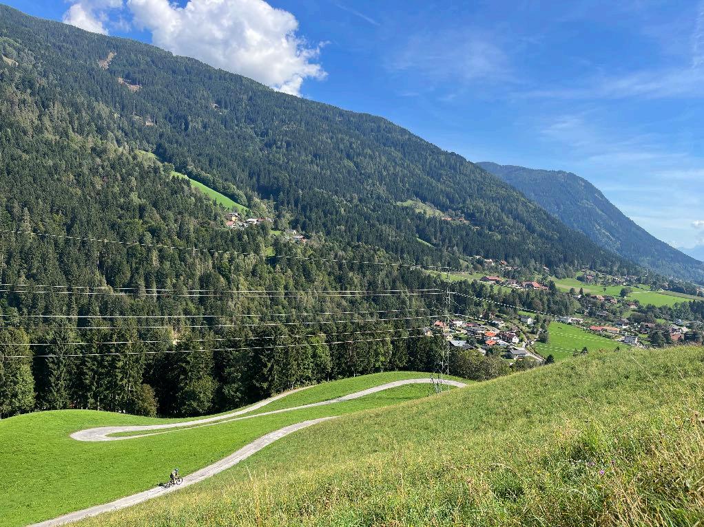

Just
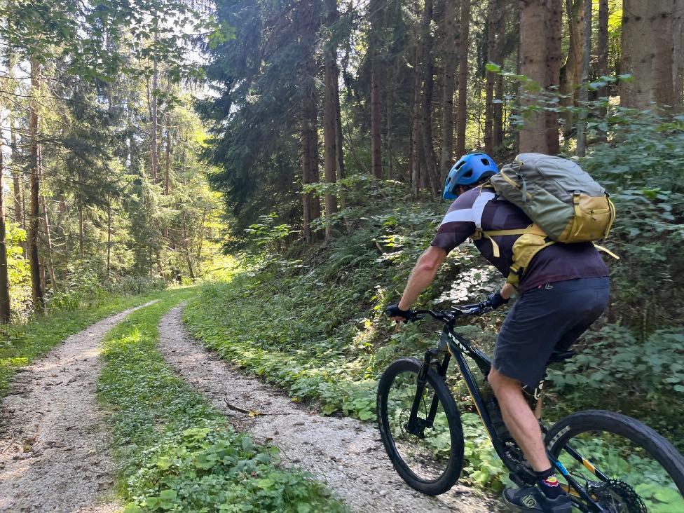

Unknown paths.
www.go-alps.com
spectacular in the Drautal Valley.
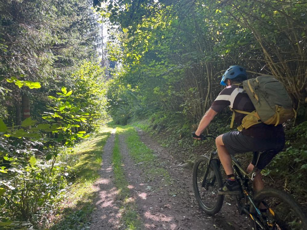

View on Villach.
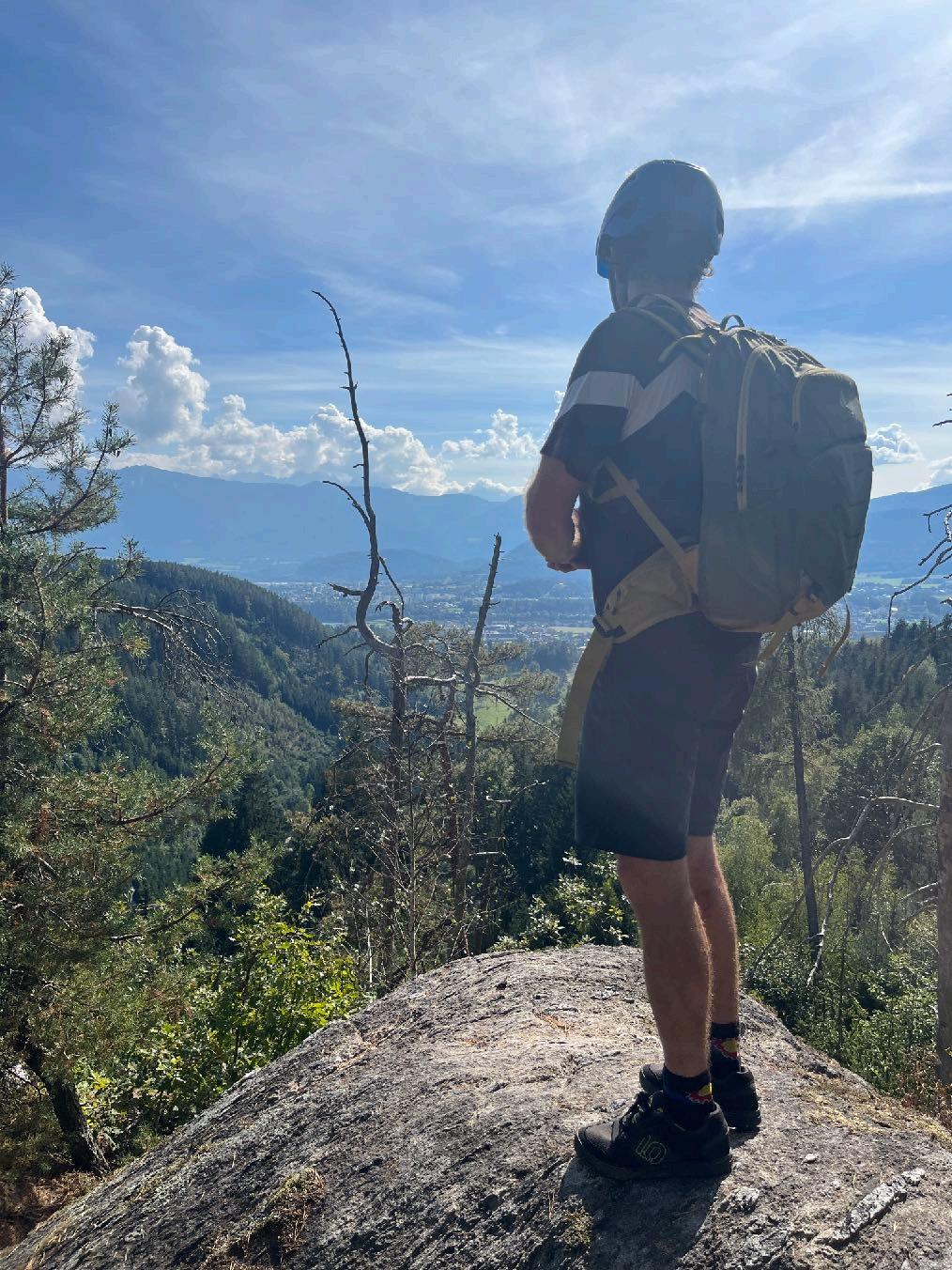 Picturesque ways at Oswaldiberg.
www.go-alps.com
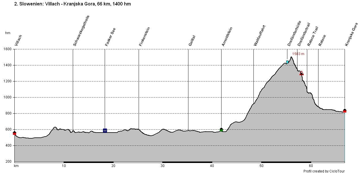
Transalp Slovenia 2. Stage - 66 Kilometer - 1400 m elevation gain from Villach to Kranjska Gora

www.go-alps.com
After a big breakfast we start into the diverse bike day. First, we leave the city center of Villach. We quickly reach the Drau cycle path. The first few kilometers are an easy warm-up. The Nock mountains behind us and the Karawanks in front of us. Rush hour is already over, when we cycle into the first uphill of the day in Dobrova. Up here, we find a lot of hidden forest trails which excite every mountain biker. We cross the street and reach the Schwarzkogel Forrest – a true Bike-Eldorado. Here too, the root trails with their constant ups and downs bring a smile to every biker's face. After this mountain bike highlight, it’s time to cycle some kilometers. We still have to get up to the triborder area. After the lunch break in Arnoldstein, we have to climb up 900 m of elevation. The reward: the triborder area – Italy – Austria – Slovenia. We can see far into the Julian Alps. Before we tackle the downhill, we enjoy a break, up here. If the hut is open, we will gladly stop here for a bite to eat.
• Trails at Faaker Lake
• Triborder Area
• View on the Julian Alps
• Lago di Fusine
• Worldcup stop Kranjska Gora
Afterwards we cycle some more meters uphill till we reach the highest point. From here, an old military trail begins, which initially winds downhill in hairpin bends. Directly next to it, there is the option of taking a challenging, very steep trail. The off-road section down into the valley remains high. There are also short, steep sections. On the last few kilometers to our destination for the day, we not only feel the force of the Julian Alps but also the enthusiasm of the Slovenians for sport. The Planica ski jumps are close enough to touch and the Kranjska Gora World Cup slope is right before our eyes. We review the impressive day over a Lasko beer.
www.go-alps.com

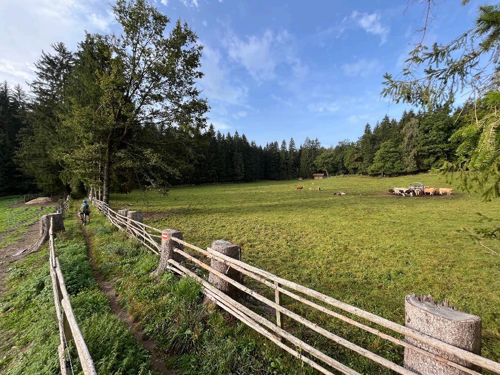
The day is dominated by a great variety of paths. In order to master the distance, we have to use cycle paths today. However, the many varied forest trails in the morning make you forget about them. The forest trails are wonderful to ride, however there are still some hidden meters of elevation in this section. In Hölting we leave the forest behind us and cycle on gravel and small asphalt roads to Arnoldstein. An uphill until Seltschach and afterwards the long uphill up to the triborder area awaits us. The big meters in altitude today only come after the lunch break. Up here there is also a colorful mix of different off-road options. After that, it's mainly gravel on the old military road that leads us down. There are always trail sections to master. A beautiful valley trail at the end of the day via Podkoren to Kranjska Gora.
www.go-alps.com


www.go-alps.com
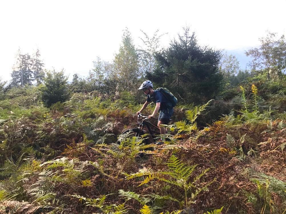
Nice trail just before Faaker Lake. Feels like in the tropics.
Just wonderful.

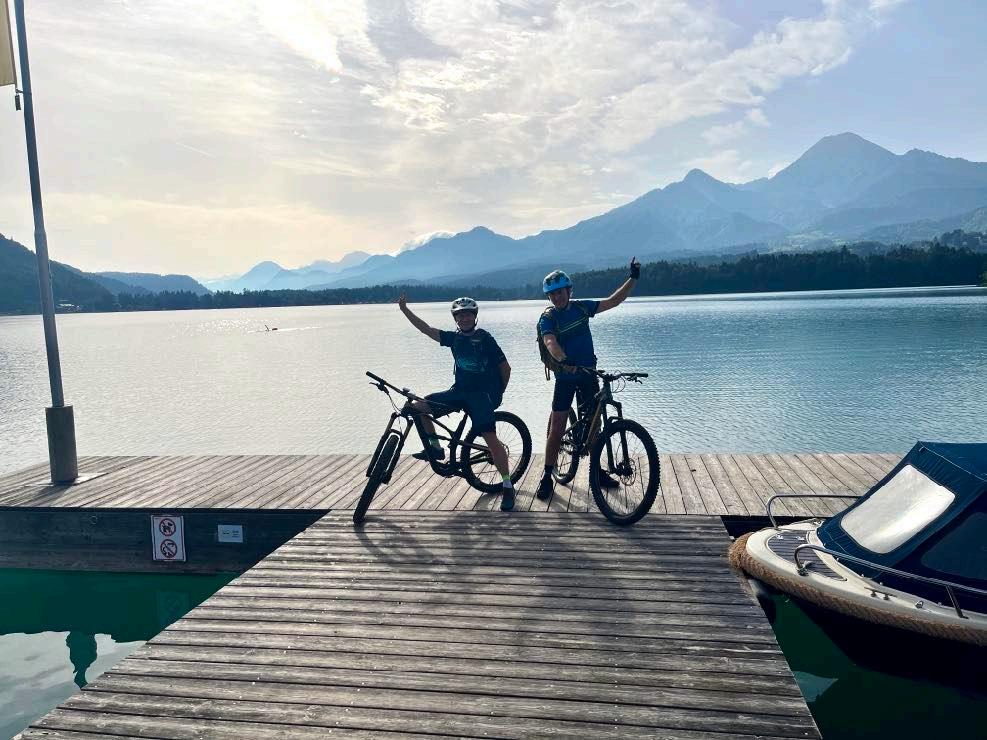
www.go-alps.com
At Faaker Lake.
We continue in narrow paths.


We have to make a stretch till Arnoldstein.
www.go-alps.com


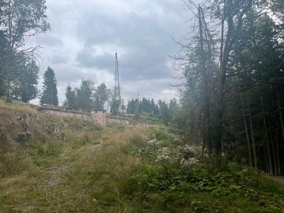
www.go-alps.com
A place with history. We climb up the triborder area.
The

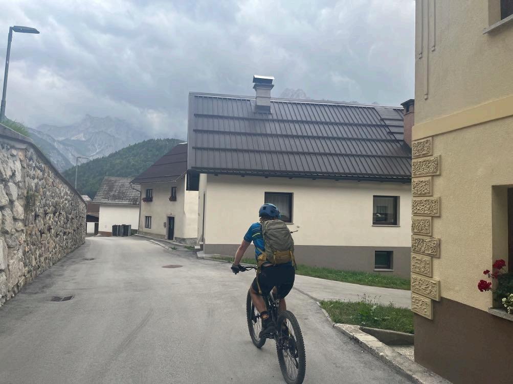
We reach Slovenian villages.
www.go-alps.com
long downhill begins.
Always

Arrival at Worldcup destination Kranjska Gora.
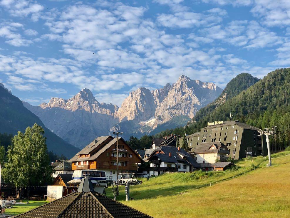
www.go-alps.com
protected by the forest.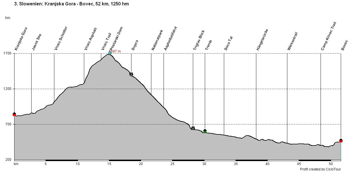
www.go-alps.com
Transalp Slovenia 3. Stage - 52 Kilometer - 1250 m elevation gain from Kranjska Gora to Bovec

www.go-alps.com
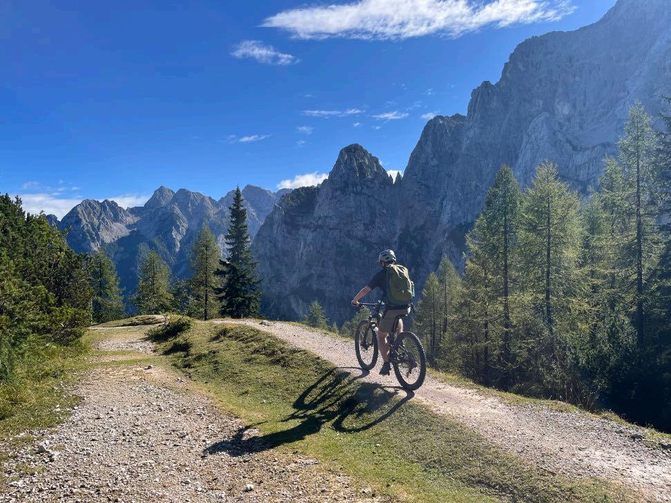
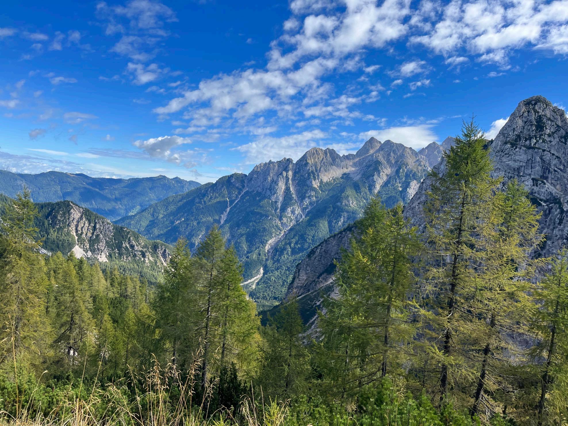
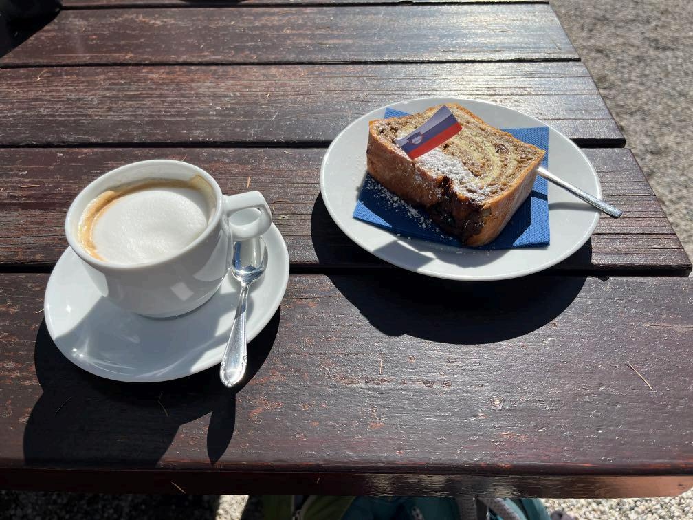
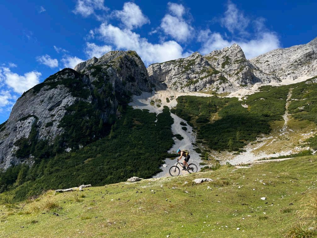
We leave the famous winter sport destination behind us and just after one kilometer the next highlight awaits: the idyllic and picturesque Jasna Lake in which the Julian Alps mirror themselves. The first few meters of elevation are soft, the river always on the righthand side of us, everything covered in shade. The exit onto the Pass road is steep but short. At Tonikina Koca we are already in the middle of a beautiful mixed forest. The forest road continues into an uphill trail. The last 200 m of elevation gain need to be conquered like that. Apart from a few meters, the trail is mainly rideable, but costs energy. At 1700 m we reach the highest point of the pass and enjoy a delicious Cappuccino and traditional Slovenian walnut pastry. We can’t get enough of the panorama up here. The views into the valley are as amazing as the views of the surrounding peaks. From the hut till the top of the Vrsic Pass leads a gravel road. Since, we are in the Triglav National Park, we can only take the asphalt road down to Trenta. In 25 ser -
• Uphill to Vrsic Pass
• Triglav National Park
• The Soca Valley
• Rockgarden Trail
• Outdoor-Town Bovec
pentines, almost 1000 meters of altitude are destroyed. Shortly, before our lunch break, a short but technical trail section awaits. Now we dive into the wild Soca Valley. The Soca is sometimes gentle and calm, then again rough and stormy. That’s why it is a paradise for kayakers and rafters.
We enjoy the views of the turquoise water and the rock formations. The naturals pools invite us to linger. Over a suspension bridge we push our bikes to the other side of the river. At the end of the day, there are more beautiful gravel sections, small hidden trails and, as a highlight, a root trail section after we have mastered the new suspension bridge to Camp Kovac. A short, steep asphalt climb takes us up to a high plateau and we can already see the first houses of Bovec.
www.go-alps.com

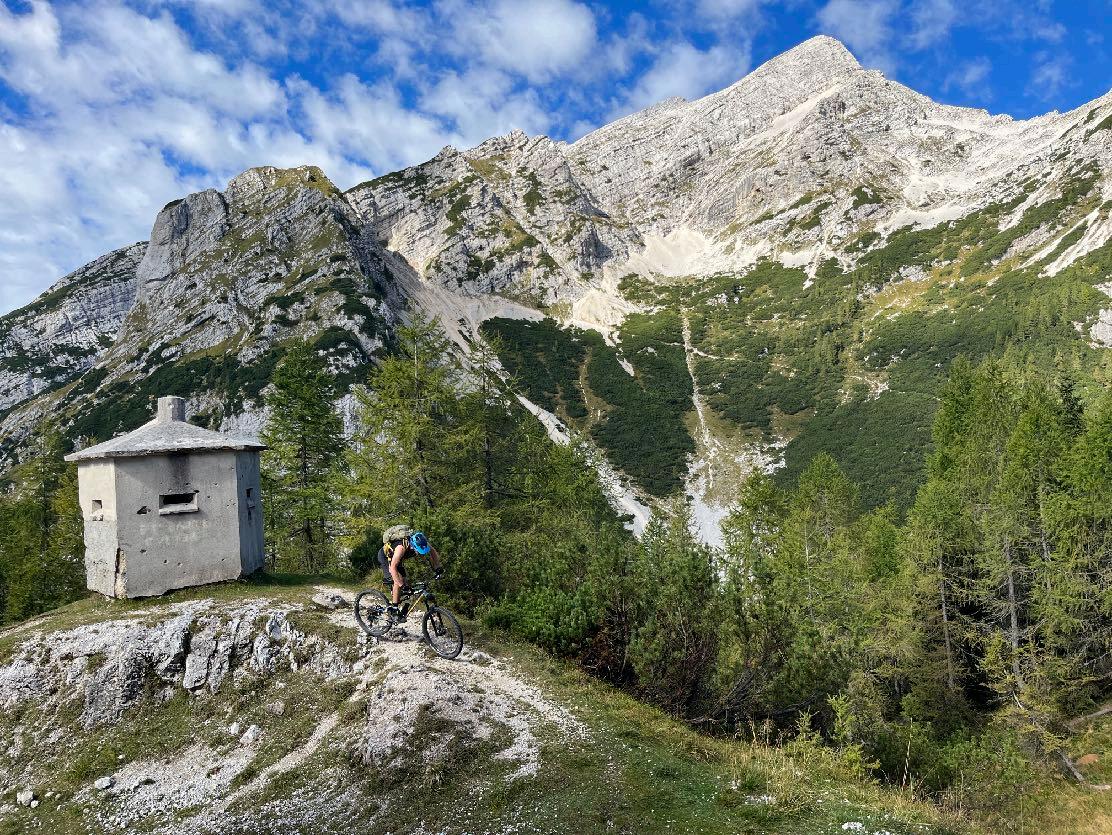
Today the technical sections are limited, however, they should not be underestimated. The 200 m of uphill trail to the Vrsic Pass cost concentration and awareness. Before that, the day begins in the best MTB Terrain with a lot of gravel. In between this terrain and the uphill challenge, we also ride short sections on asphalt. From the highest point, the downhill begins on a short gravel section and continues into a long asphalt road down into the Soca Valley. In the Soca valley, we also have longer sections on the not very busy street. The cycle path is a mixture of gravel and asphalt. In total, we do have some trail sections that await and challenge us. Shortly before the lunch break a few very rocky sections. In the afternoon, small, pleasant trail sections, a hidden meadow and forest trail, as well as a root trail to finish the day.
www.go-alps.com
Today we visit the Triglav National Park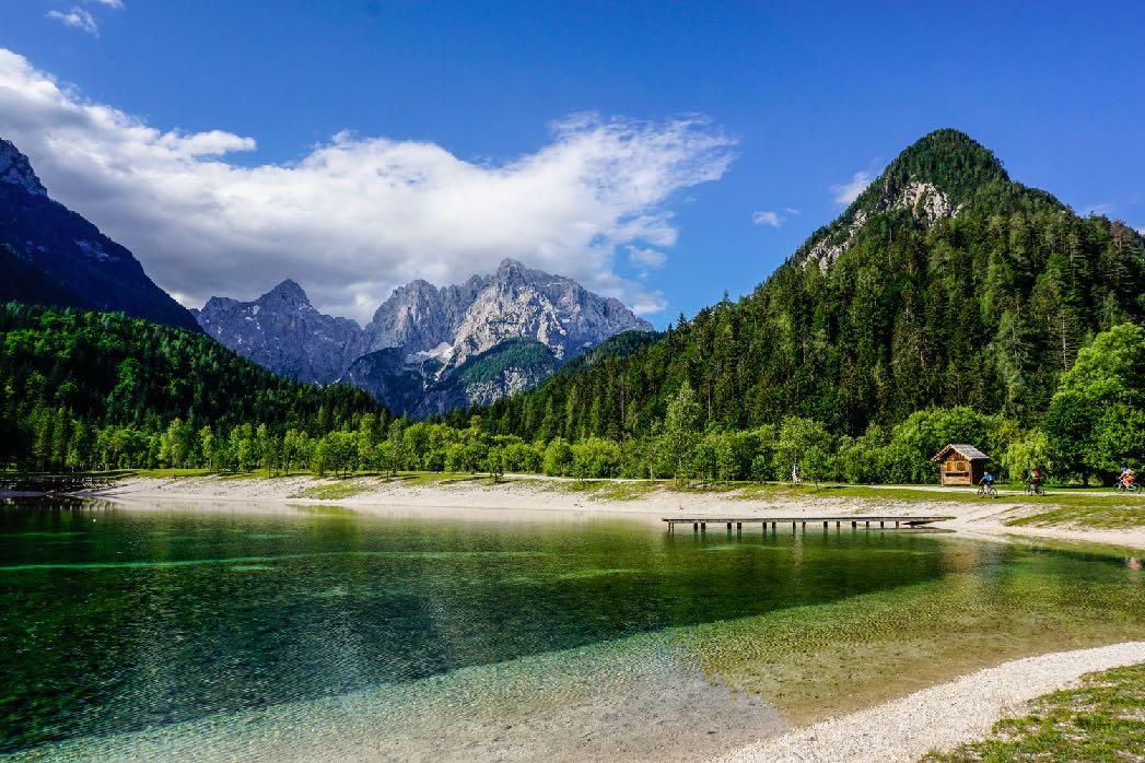

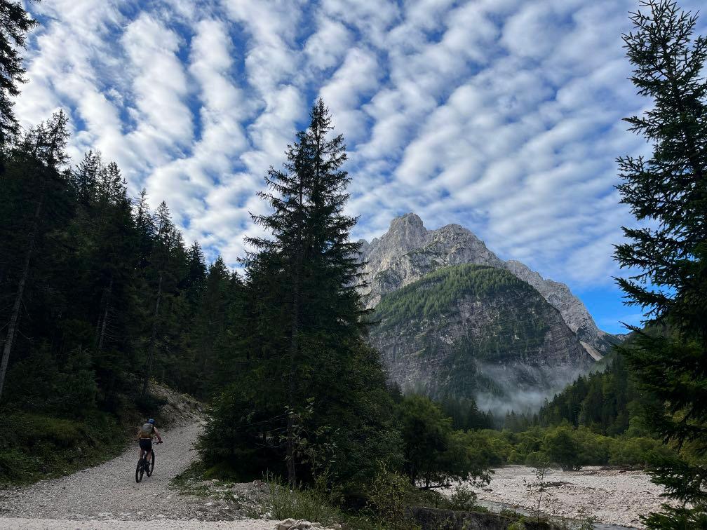
That’s how every morning can start.

www.go-alps.com
Dreamy clouds.

www.go-alps.com
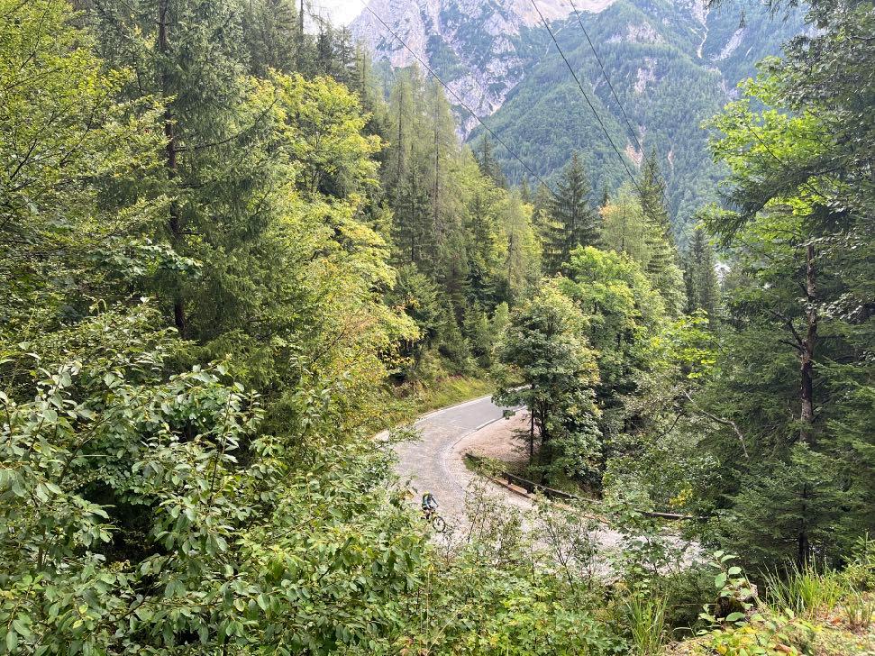
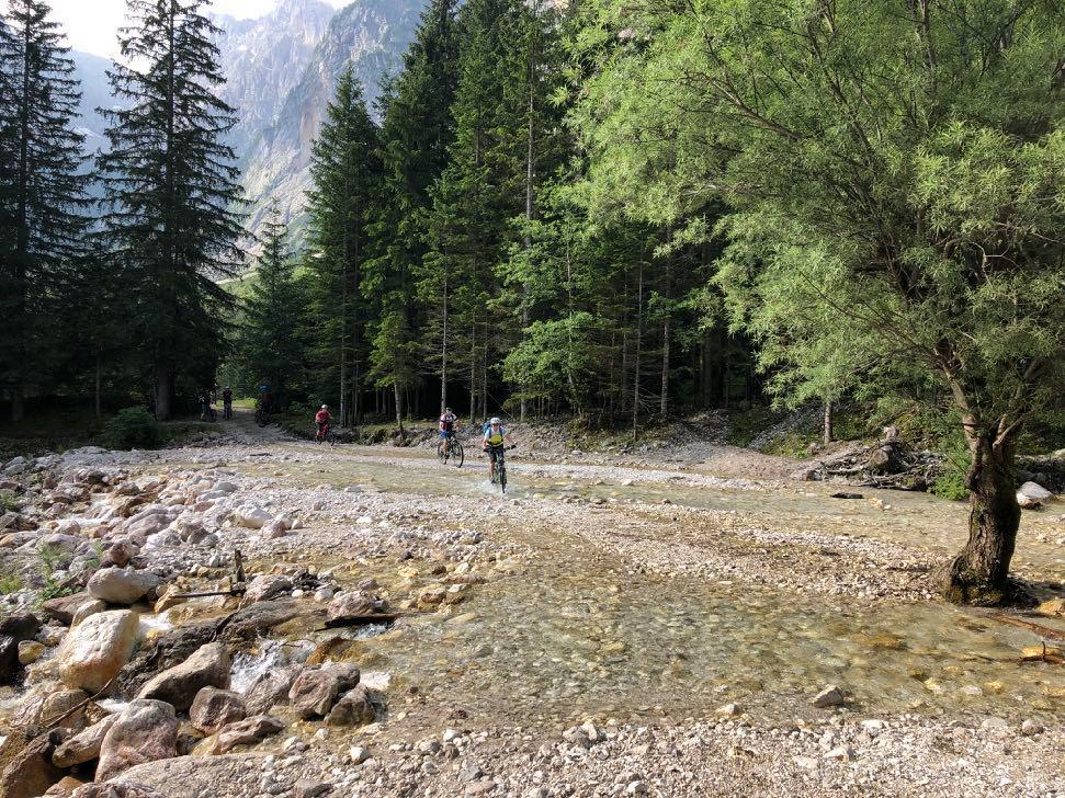
The uphill to Vrsic Pass. Crossing a creek - Alternatively, we can cross via a small bridge.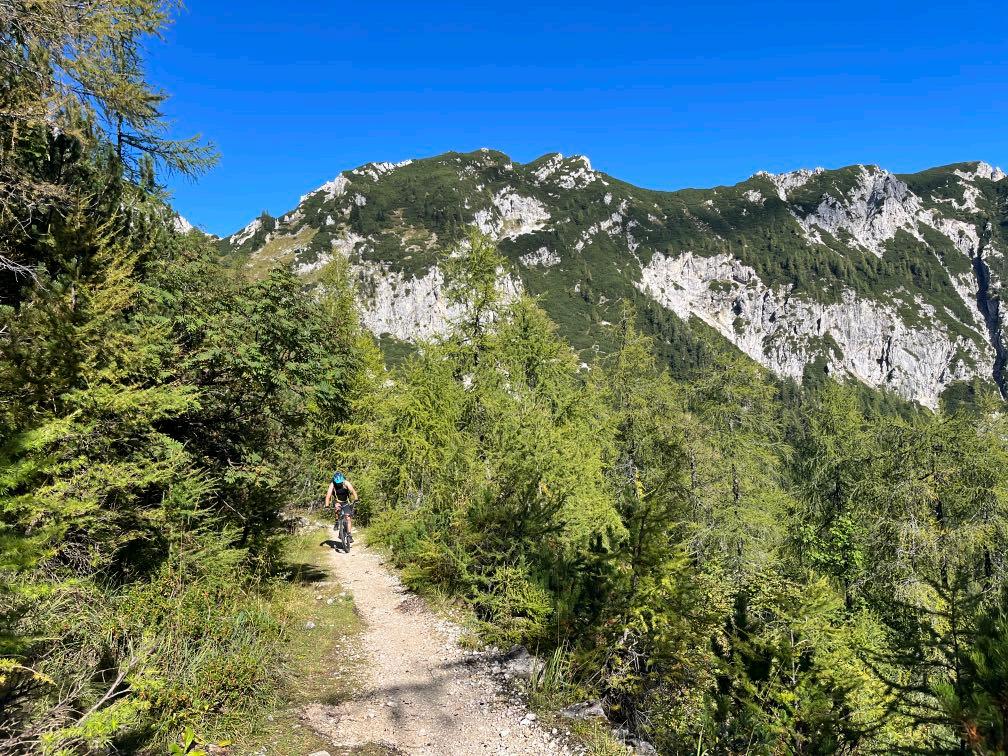


www.go-alps.com
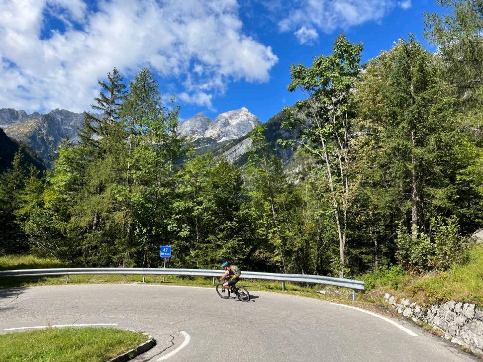
On the old road up the pass in the shadow of Triglav mountain. The road climbs up in countless serpentines.

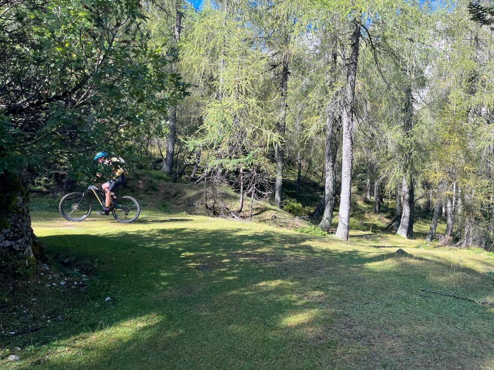
Partly, a marvelous single track.

www.go-alps.com
Shortly, before the Cappuccino Stop.What a view!
www.go-alps.com

www.go-alps.com


www.go-alps.com
Tipp: Slovenian Walnutcake. It reminds us of the Dolomites.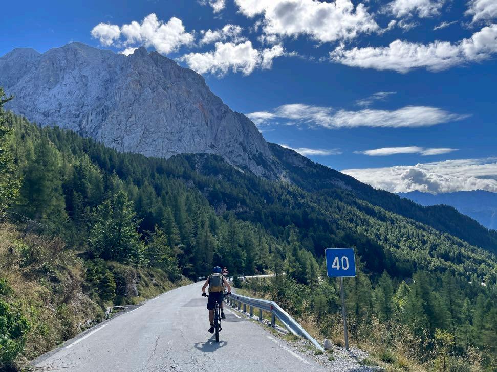


Almost there.
www.go-alps.com
25 hairpin bends on the road down to Soca.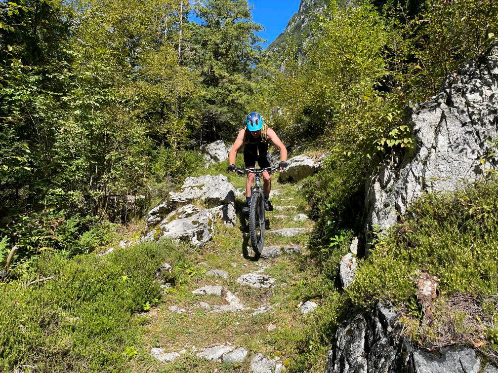


www.go-alps.com
Rockgarden Trail shortly before Trenta. View of the Triglav mountain.
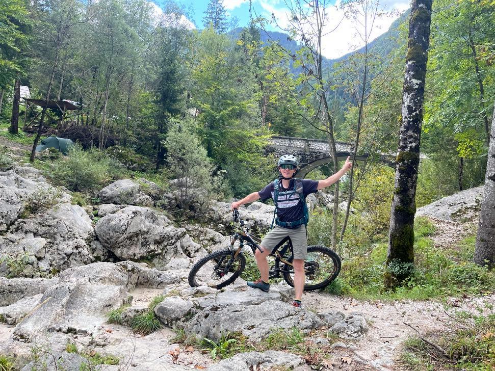


Final trails to Bovec.
www.go-alps.com
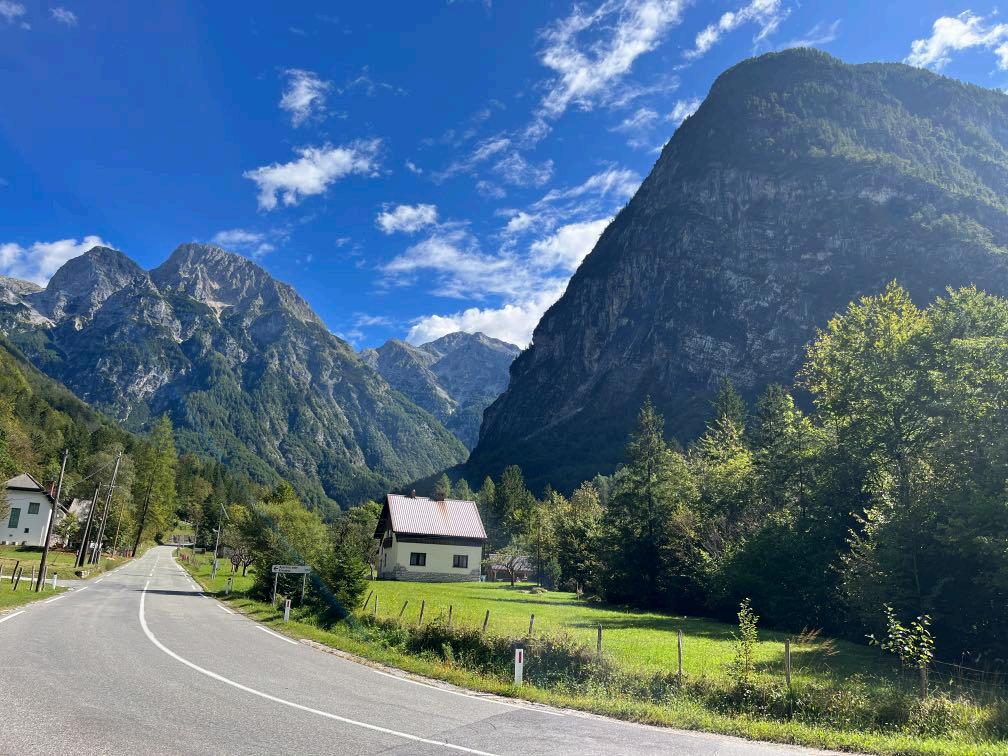
We reached the Soca Valley.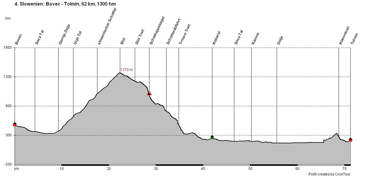
www.go-alps.com
Transalp Slovenia 4. Stage - 62 Kilometer - 1300 m elevation gain from Bovec to Tolmin

www.go-alps.com
Today we conquer the Stol mountain. We cross the Ucja and begin with the long ascend up the Stol. For the first 400 m of elevation, we follow a comfortable incline on asphalt. Once we reach an abandoned building, which reminds of an old toll station, we start with the 700 m elevation long ascend on a nice gravel road. Until shortly before the top of the pass, we are exclusively in the shady forest.
Our bottles are filled up with water since we don’t have any refill station on the way up. The ascend on gravel is long, but good to cycle since the incline isn’t too heavy. Everything reminds of a border ridge road. On top of the Stol we feel like we’re on top of the world. 360-degree view of the Julian Alps, you can almost see the Adriatic Sea. We enjoy a picknick and recharge for the following downhill. The way starts with a 5 kilometer long soft descend. The underground switches from meadow trails to steep rocky trails. At the end of the ridge the most difficult section of the day awaits. We have to PUSH our bikes 180 m downwards till we reach the next gravel path. It’s not possible to ride in this ter-
• Ascend to Stol
• Suspension bridges & Kobarid
• Wild Slovenia
• Tolmin Gorge Trail
• Arrival in Tolmin
rain. A solid bike shoe with a good profile is mandatory for today. After about 20 minutes we reach a loose gravel path on which we can cycle again. Just before Trnovo we dive into the deep mixed forest with a Rockgarden Trail. It's worth stopping here from time to time to soak up the wonderful landscape.
From Trnovo on, the technical difficulties are mastered for now and we continue on the cycle path to Kobarid. Shortly after Kobarid, we cross the Napoleon Bridge and continue out of the valley towards Tolmin. We not only cycle exclusively on the cycle path, but also use a small sidekick every now and then. Shortly before reaching Tolmin, we climb for the last time to enjoy the last trail of the day. Passing the Tolmin gorge, we roll comfortably into our hotel right at the town square of Tolmin.
www.go-alps.com

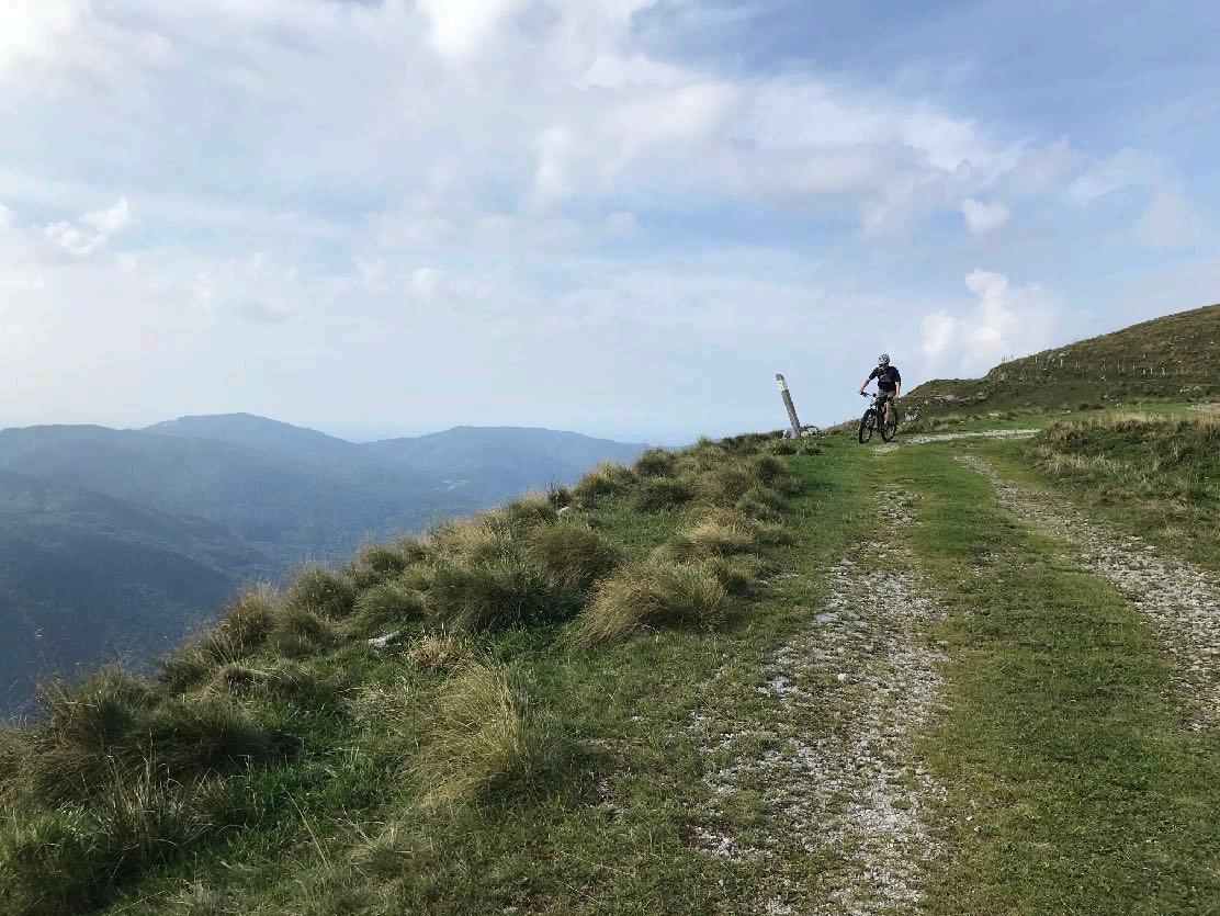
In terms of riding, the day offers everything! Rolling in on the cycle path, rolling out on the cycle path. In between, a long day's climb, initially on a great asphalt road with no traffic. We quickly leave 400 meters of altitude behind us. The next 700 meters in altitude are all off-road. A gravel path leads us steadily upwards. Only a few sections are steeper or technically more challenging. From the Stol saddle the way leads continually downwards. The highline seems almost with no end and offers a great variety. Short trail sections alternate with wider forest and meadow paths. At the end of the ridge it gets difficult: We have to push our bikes downward on an almost invisible forest path. The descend is partly very steep. Here the shoes need a good profile and both hands operate the brakes. The gravel path that follows is very loose at the beginning with coarse stones. Then a forest path leads us downhill for a long time. Shortly before Trnovo a stony trail section, in the middle section a meadow trail before it gets rocky again. From Trnovo kilometers of asphalt. In the afternoon, asphalt and gravel sections in equal measure before we tackle the final climb. The trail descent leads us down an old cart track to the Tolmin Gorge. A challenging day ends there.
www.go-alps.com

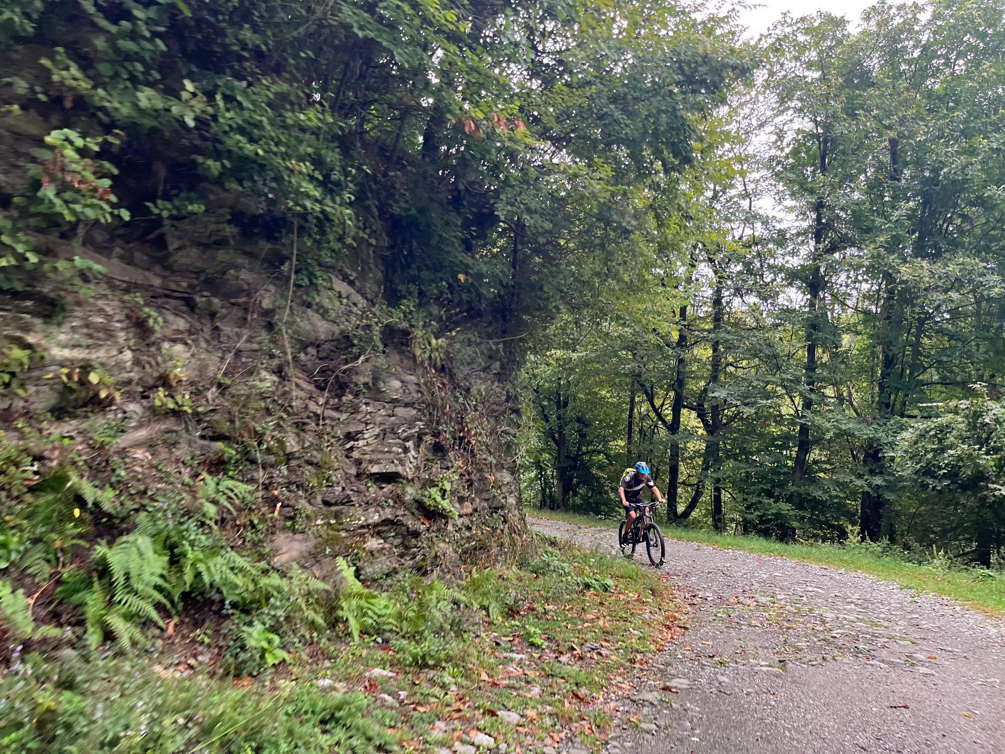
We are accompanied by dense forests today.
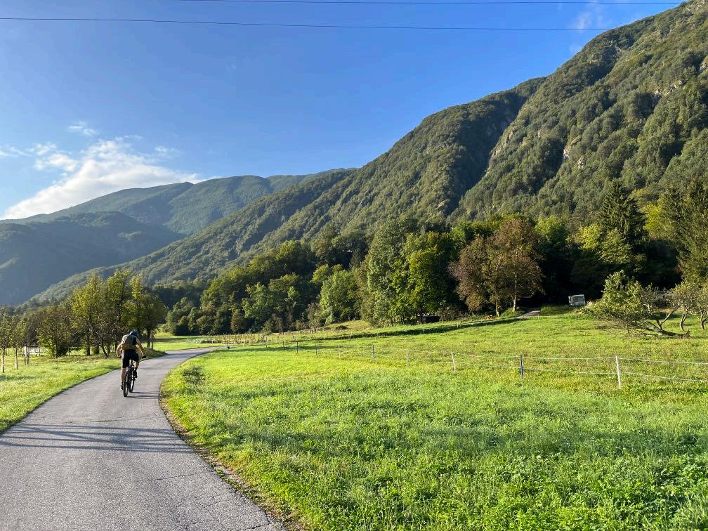
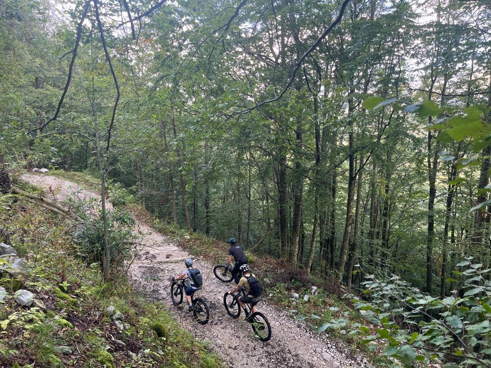

The way up to the Stol.
www.go-alps.com
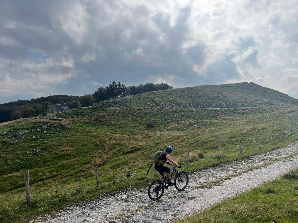

Only at the very top does the terrain open up.
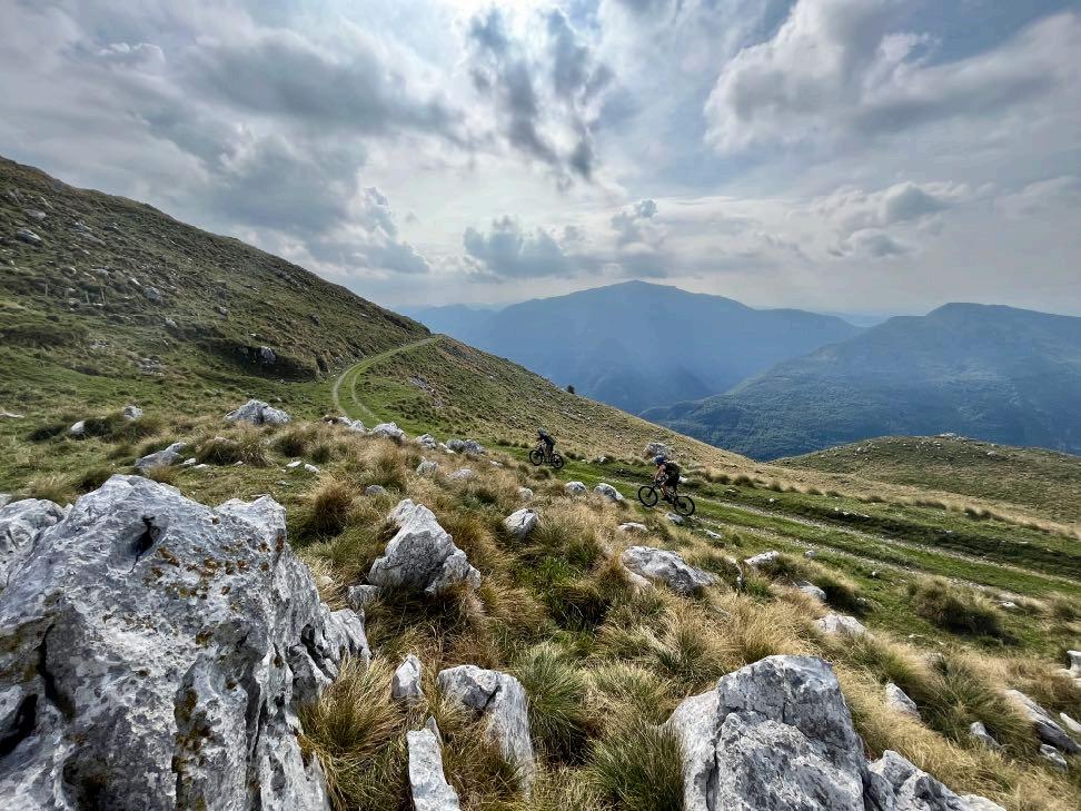

What a dream it is up here.
www.go-alps.com
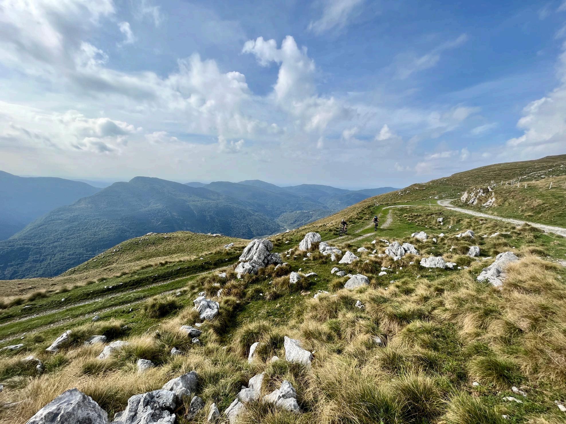
www.go-alps.com

www.go-alps.com

The
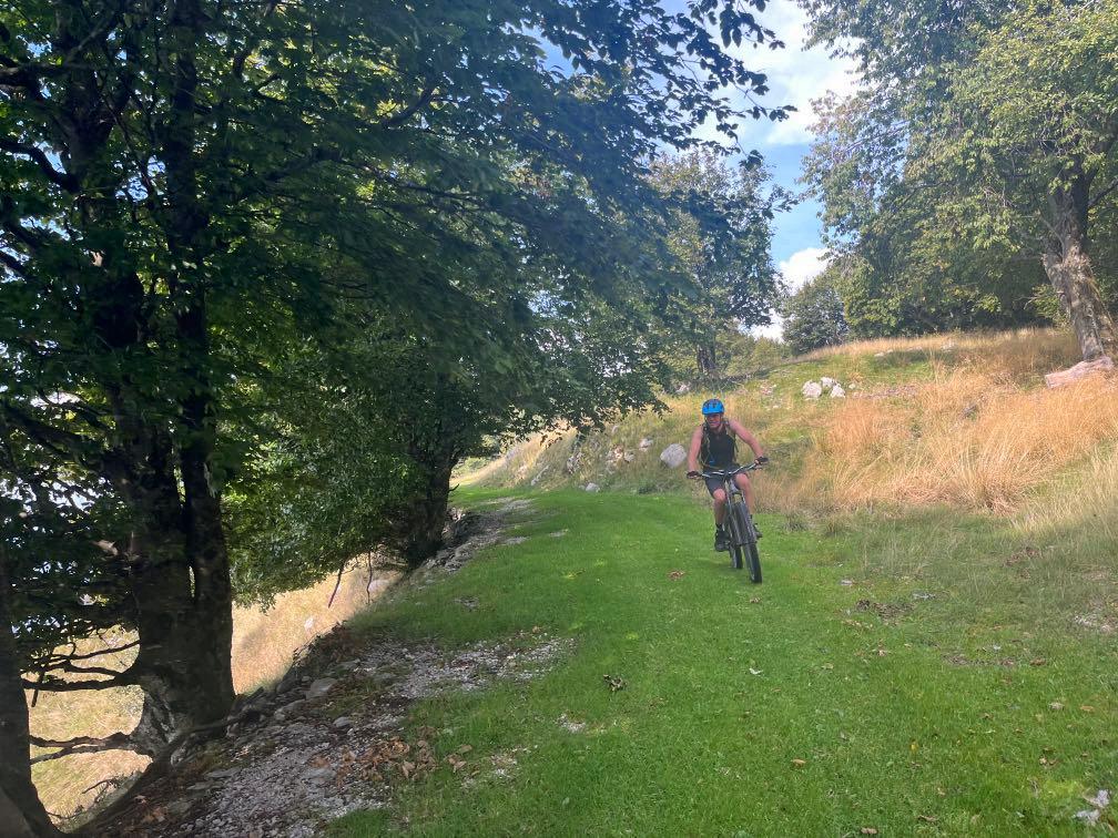

The
www.go-alps.com
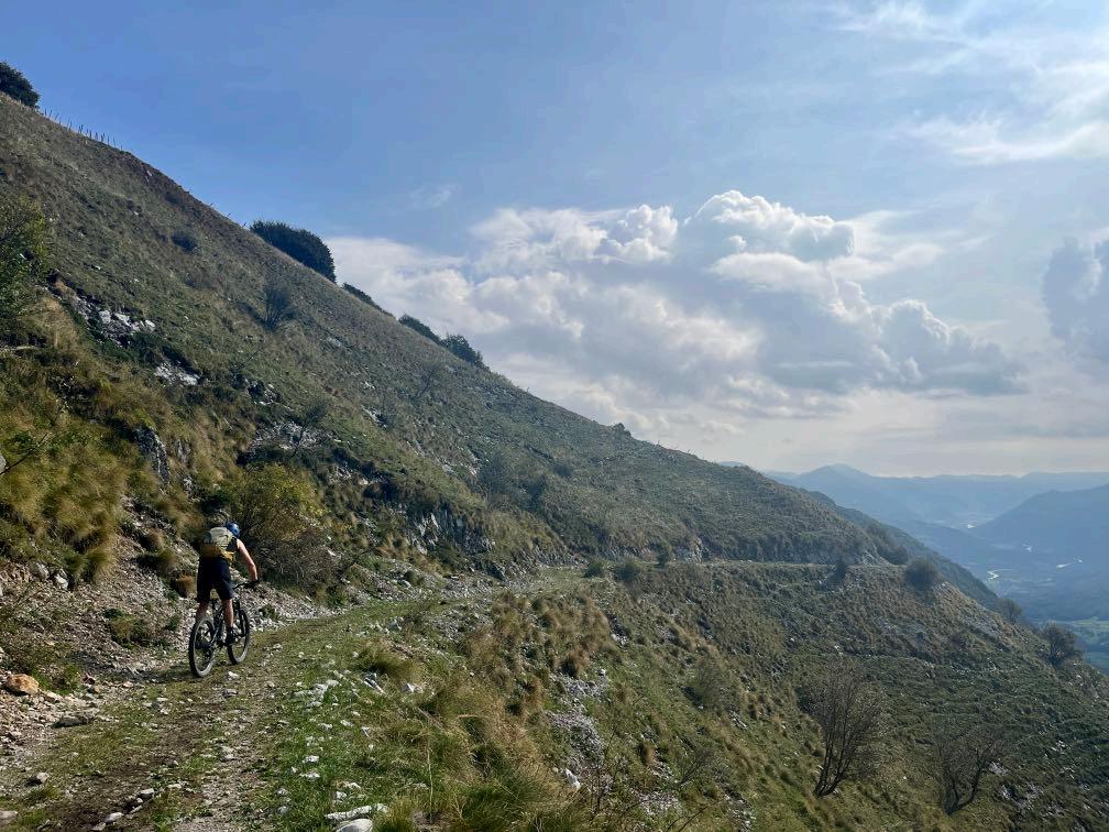
way reminds of the Brenner border ridge. underground alternates constantly.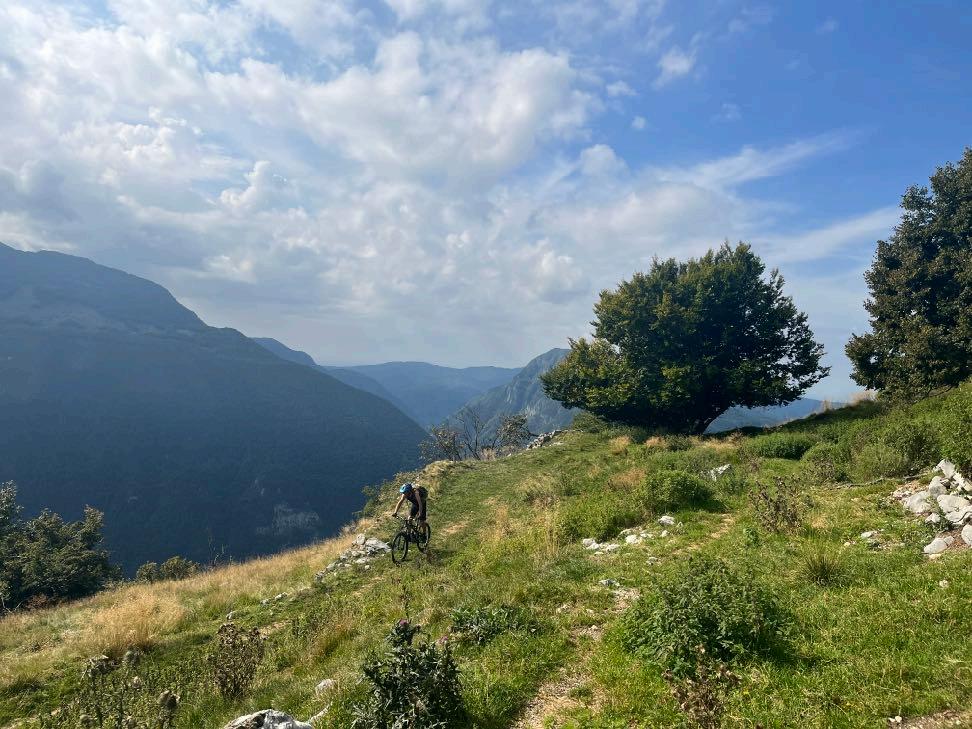

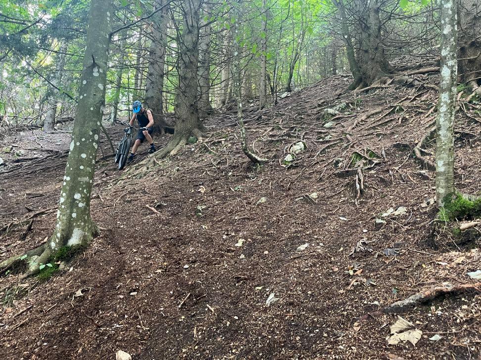
Just before the pushing section.

A good 20 minutes of rough downhill WALKING!
www.go-alps.com


www.go-alps.com
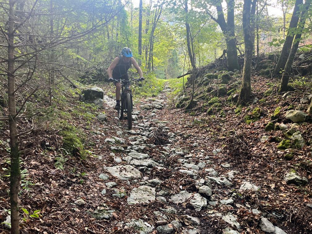
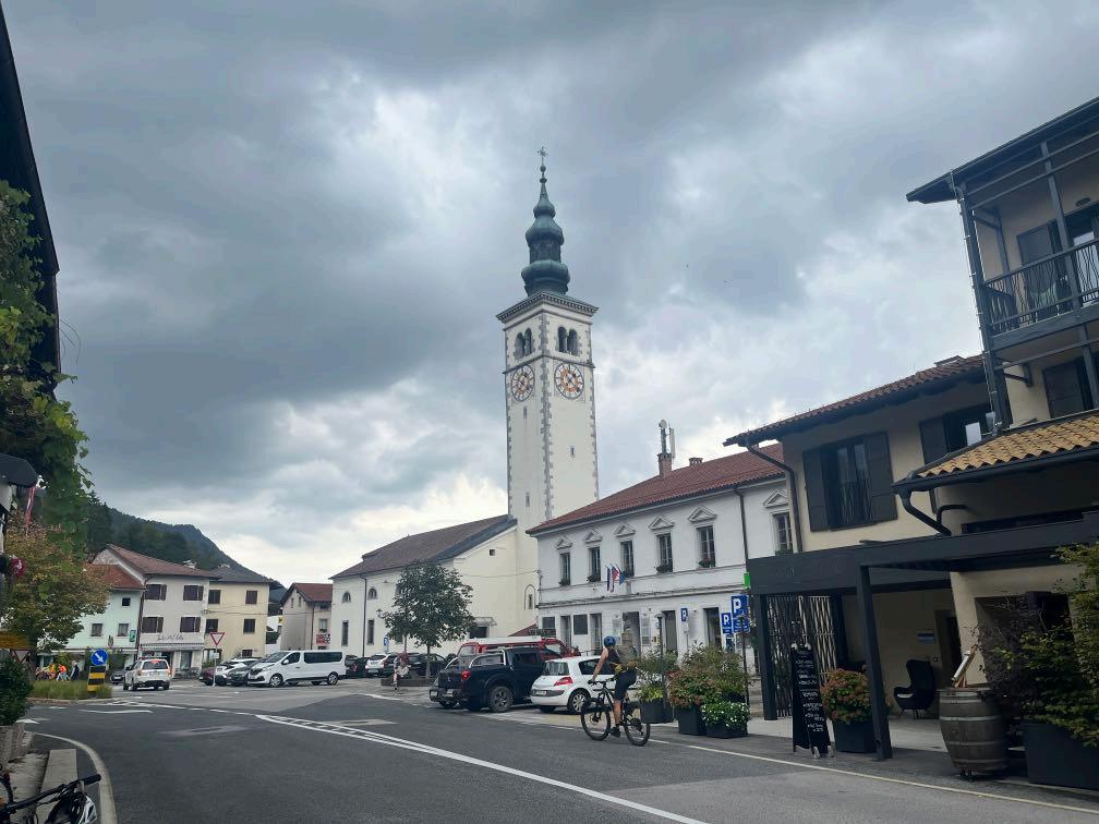
An old rocktrail leads to Trnovo. We’ve arrived in Kobarid.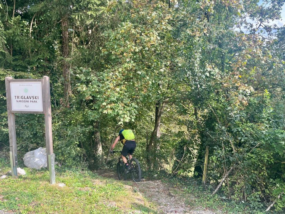


www.go-alps.com
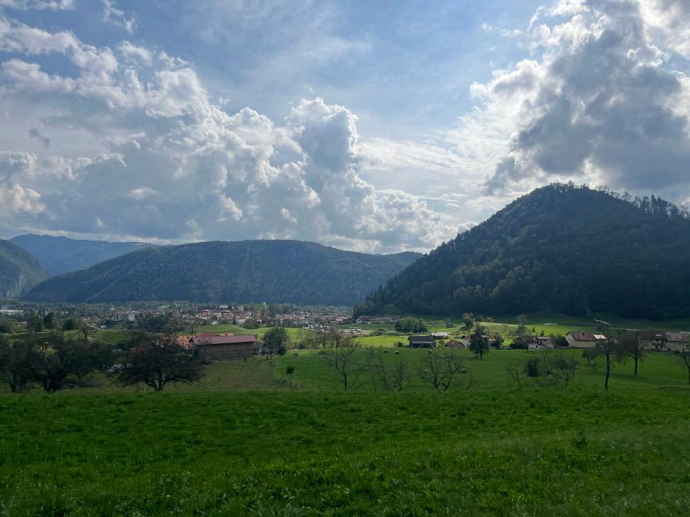
Trailfun on the way to Tolmin. View of Tolmin.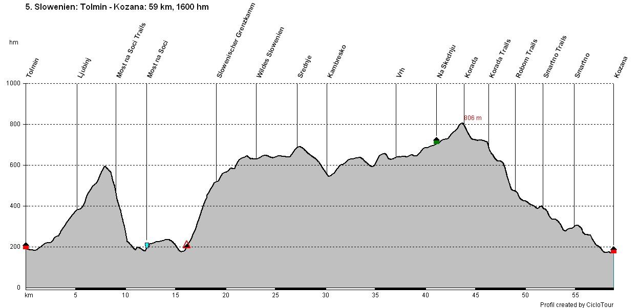
www.go-alps.com
Transalp Slovenia 5. Stage - 59 Kilometer - 1600 m elevation gain from Tolmin to Kozana

www.go-alps.com
Today we will conquer around 1300 m of elevation until the lunch break. We dive into the mystique Slovenian forests and work up a good sweat. It feels like we are in a fairytale forest. Time stands still in the villages. On 600 m above sea level we start our uphill. Now follows the downhill trail to Most na Soci. It always goes through the forest on loose ground. At the end, typical Slovenian floating gravel. Little air pressure brings stability here. At the bottom, a short cappuccino stop in the middle of the village. Now follows the second ascend of the morning up to the Slovenian border ridge. Once, we reach the top, we stay between 600 and 700 m above sea level for 15 kilometers. There are no more villages up here, but from time to time we pass by some houses. In Kambresko we leave the forest and arrive back to civilization. Shortly before the Marijino church, we take a short meadow trail. We stay on a small asphalt road with only a few meters of elevation gain until our lunch break. We enjoy the finest homemade gnocchi
• Lonesome Slovenia
• Slovenian Border Ridge
• Delicious Pasta for Lunch
• Vineyards of the Collio
• Trails to Smartno
at Daniela's. Italy is just a stone's throw away. Immediately after the break, we climb another 200 meters in altitude to Korada. After putting on our protectors, we set off on the long downhill towards Smartno. Wide cleats now pay off. The trail is mostly rocky but often muddy downhill. Now the landscape changes abruptly. Suddenly we have a view of the Collio and its vineyards. The Tuscany feeling spreads. We work up another sweat in the vineyard before reaching the medieval village of Smartno. We can't get the smile off our faces after this day. On the terrace of the hotel, we look out over the stunning landscape.
www.go-alps.com

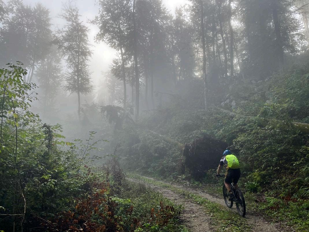
First, a small road leads us to Ljubinj. Now the forest swallows us up and the meters of altitude are mastered on deep gravelly ground. Manage your strength well. The trail into the Soca valley begins with a hairpin bend, after which the track drops down the slope. There are many Slovenian stones to be ridden over. In the last section, the trail becomes even narrower and the stones finer and finer, like Slovenian floating gravel. Short uphill trail and descent to the cappuccino break. Now a long stretch of asphalt, initially very steeply uphill, later the Slovenian border ridge road stretches further and further uphill. Once we reach the top, there is a short gravel section before we land on asphalt again. Descent via the road to Kambresko. From here a small road and a little later beautiful gravel again. We make rapid progress here. At Vrh, we take the hiking trail to Korada and in no time at all we're pedaling up the next few meters of altitude on a meadow trail. After the lunch break, it's almost exclusively off-road with only a few short asphalt sections. The downhill from Korada is divided into a total of 6 sections. The descent is mainly on stony terrain. The last section takes us into the middle of the Collio vineyards.
www.go-alps.com

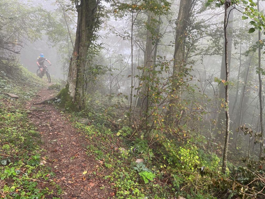

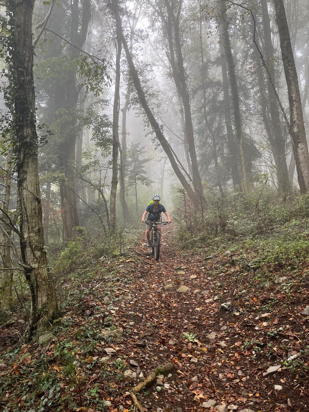 After the first uphill follows the trail to Most na Soci.
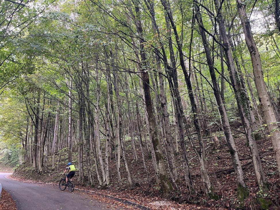
Feels like in the jungle.


www.go-alps.com
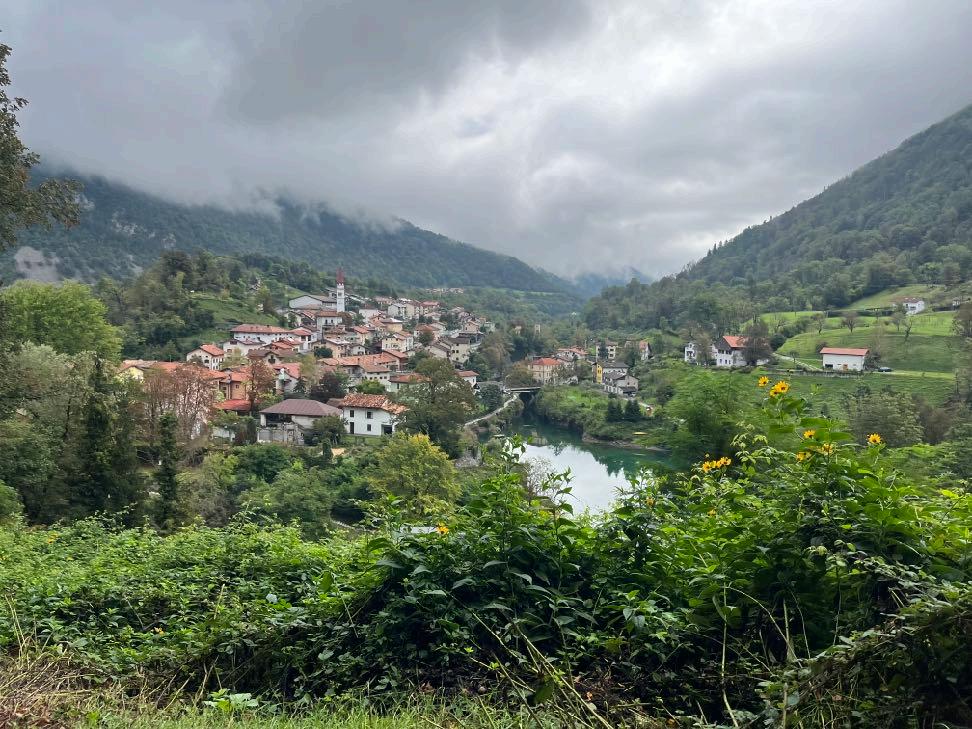
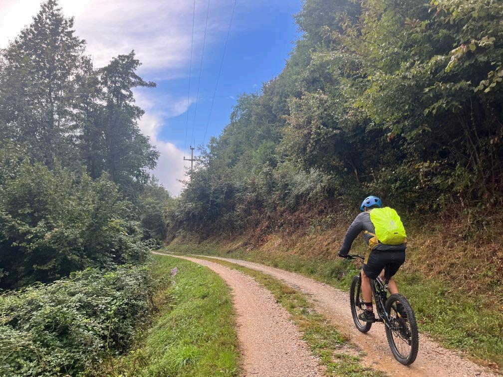
View of Most na Soci. Up the border ridge.

www.go-alps.com
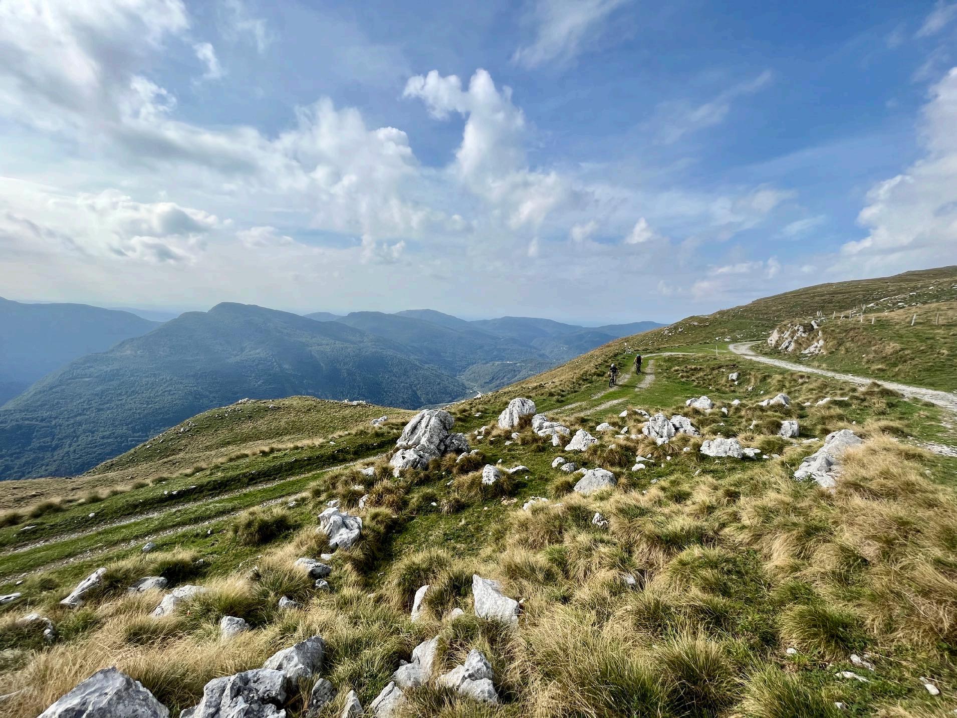
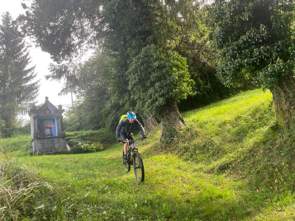
Lonesome and wild - that’s Slovenia. Short trail before lunch.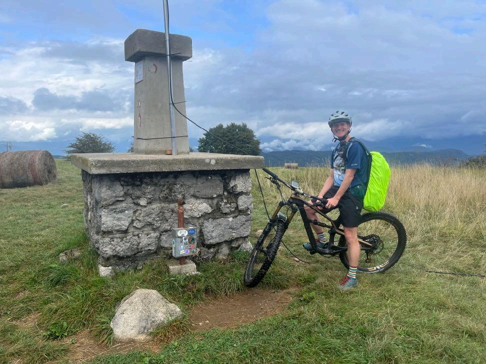

Highest point of today.
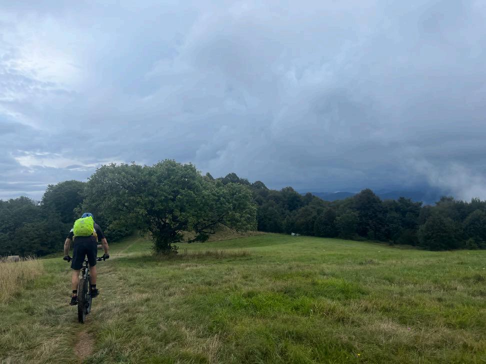

The reward for the long ascend.
www.go-alps.com
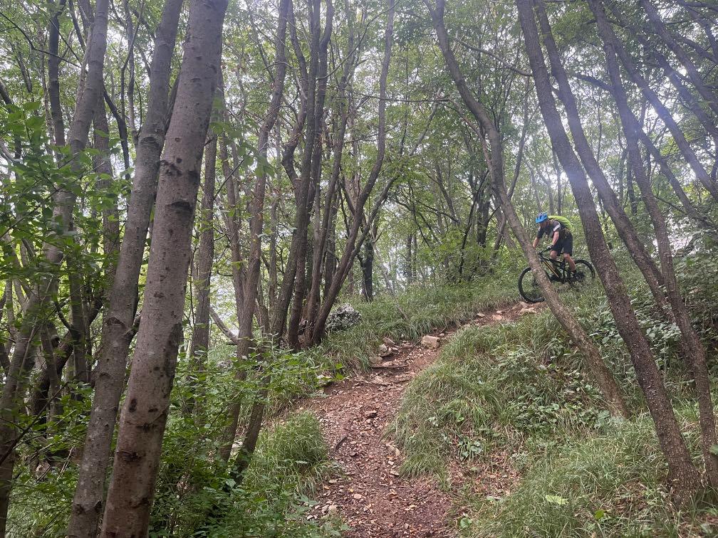

Many
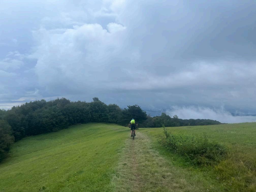

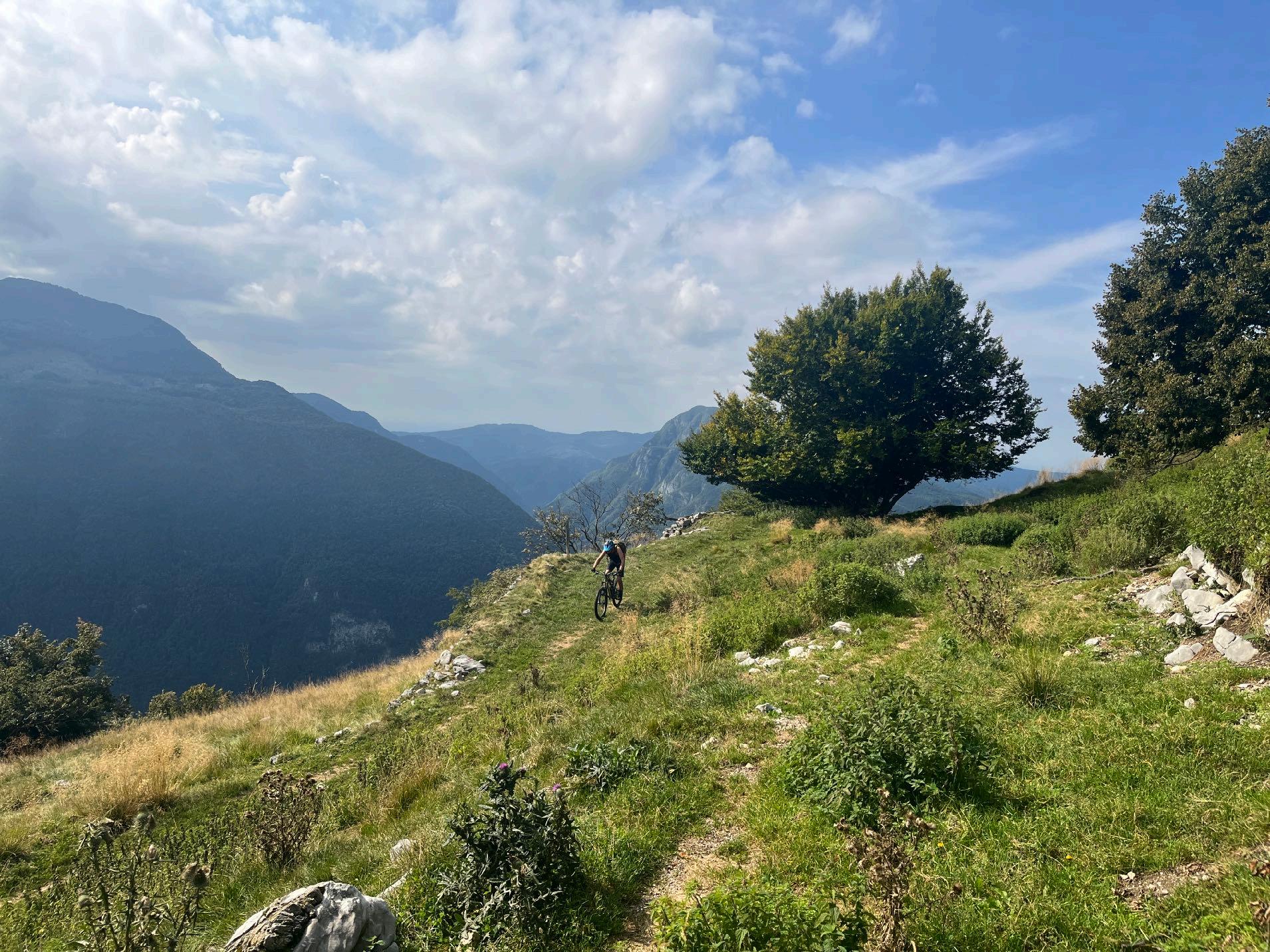
Wide variety of paths in the downhill.
www.go-alps.com
trail sections till Smartno.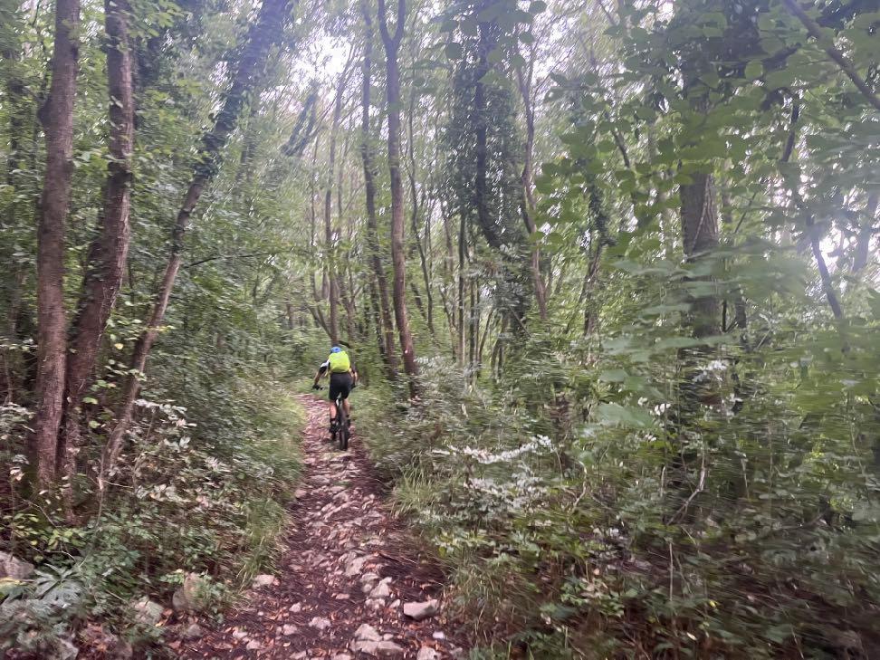


www.go-alps.com
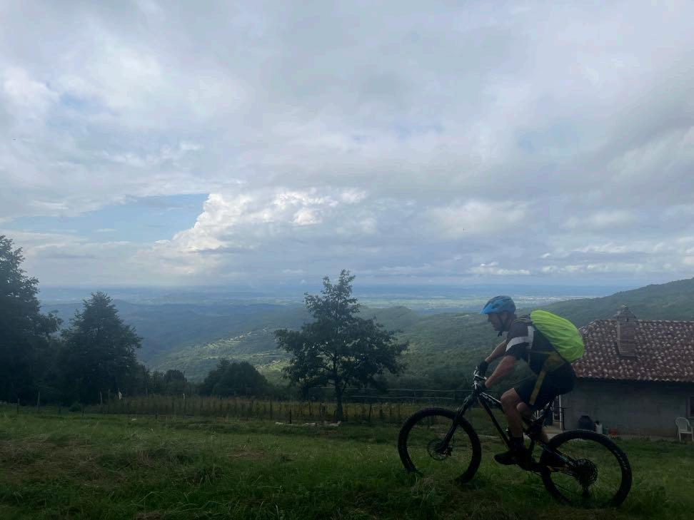
High amount of suspension travel pays off. Cloudy mood over the Collio vineyards.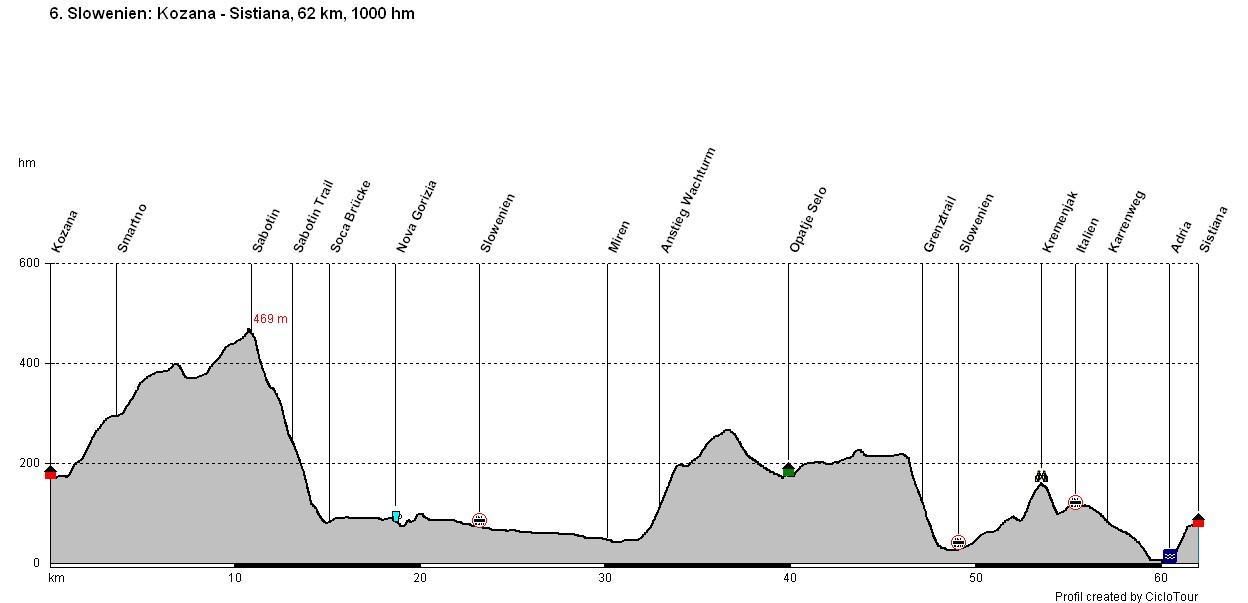
www.go-alps.com
Transalp Slovenia 6. Stage - 62 Kilometer - 1000 m elevation gain from Kozana to Sistiana/Adria

www.go-alps.com
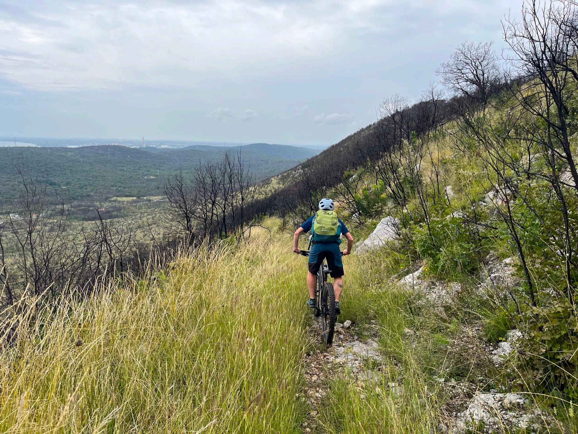
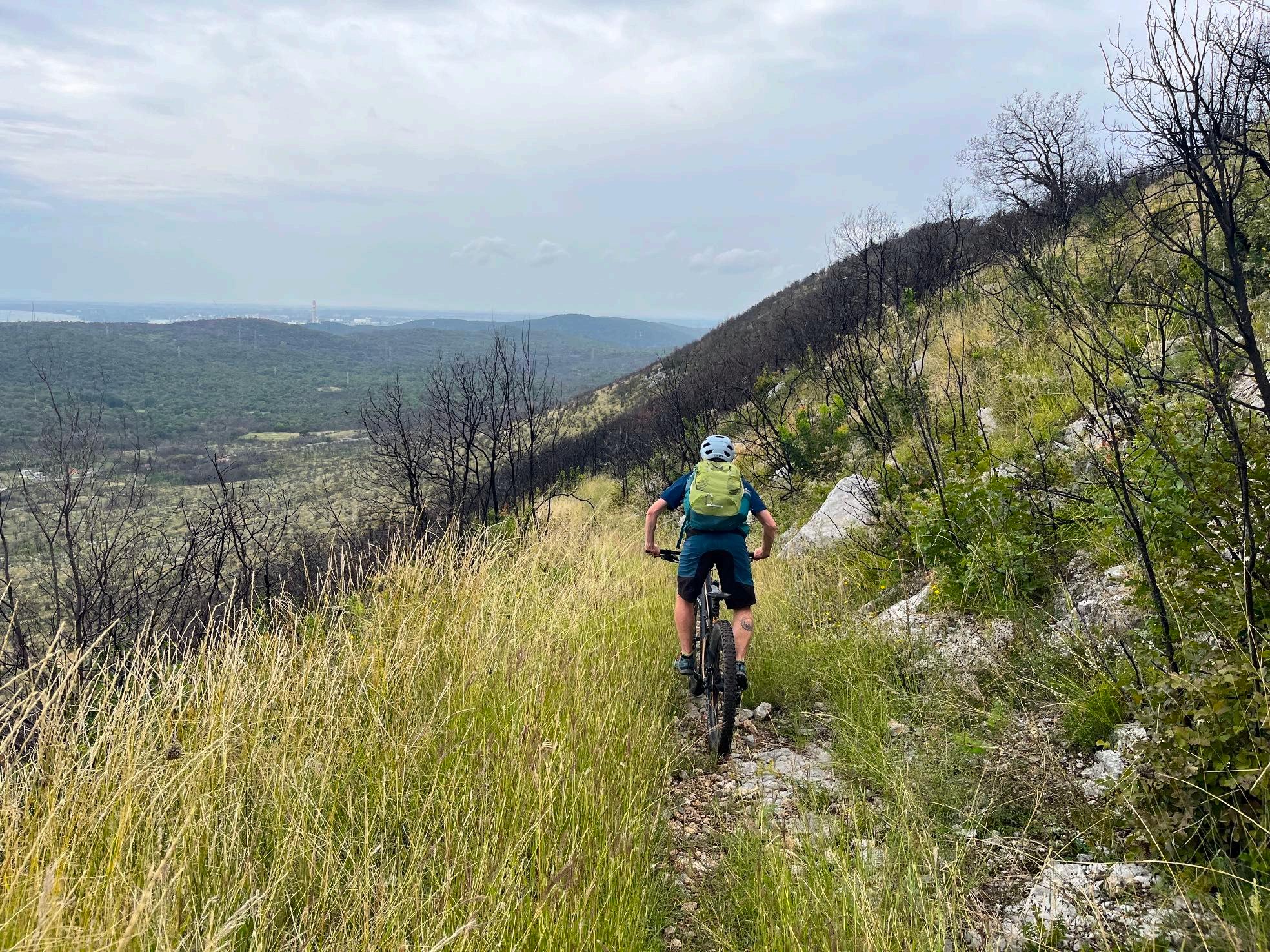
Today the focus will remain on physical fitness as well as riding technique. Anyone who thought we were just rolling towards the Adriatic is mistaken. A good 10 kilometers and 300 meters of altitude at the beginning and we are on Italian soil for the first time. Today will be a wild border crossing tour. The morning ascent makes you feel like you're in Latin America. Below the Sabotin summit, a stony trail leads down into the valley with magnificent views of Gorizia. The cycle path takes us directly over the new Soca bridge. We reach the center of Gorizia via small, beautiful paths. The first larger town since Villach, but already with an Italian flair. A cappuccino stop including a brioche is obligatory here. The route continues past Gorizia Castle and we are already heading back into Slovenia towards the Adriatic. A few quick kilometers and we pedal up to the watchtower. The forest fires of 2022 can still be felt. The sparse forest makes us sweat again. The first shrubs have already created a new habitat on the plateau.
• Toskana-Feeling
• Sabotin Trail
• Historic Gorizia
• The Border ridge trail
• Arrival at the mediterranean sea
From up here, we quickly reach our lunch break in Opatje Selo. Now it's time to refill our batteries. The last 20 kilometers to the Adriatic Sea are full of MTB experiences. First we climb Kremenjak on a superb single trail. Finally - a view of the Adriatic! Fantastic, but now it's time to concentrate. We grind into our final border trail. Typical Slovenian karst, gravel, stones and only one tire width lead us down the slope. What a highlight. A final climb and the last change between Slovenia and Italy makes the anticipation of jumping into the sea grow even bigger. But there are still cart tracks and gentle climbs waiting for us. Off-road to Sistiana, only the last few kilometers to the Adriatic Sea we roll on asphalt to the sea. The Transalp Slovenia has reached its destination. We are finishers.
www.go-alps.com

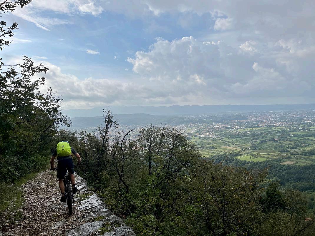
Yesterday, we rode a lot of root trails, today we have to conquer rocky sections. The first 200 m of elevation are on asphalt. A nice trail to begin the day with. Underneath the military zone of the Sabotin, we roll to the next trail section. Another narrow and rocky section with views of Gorizia. We can already see the new cycle path bridge over the Soca. Now we roll a few kilometers till our cappuccino stop. Afterwards we cycle some kilometers mostly flat, till we reach the next ascend. Slovenian gravel makes us break a sweat. 220 m of elevation gain till we reach the watchtower. A comfortable gravel path till the lunch break, afterwards we follow the Slovenian border ridge till the peak. Now we cycle through the Slovenian Macchia downwards till Komarji. A narrow trail, always running along the slope, peppered with stones. Full concentration is needed. Today it’s a constant up and down. The elevation profile makes the daily stage seem easier than it actually is. After the trail, we have to gain some meters of elevation again and after crossing the border once again, we are almost done for today. An old cart treck leads us to Sistiana. We roll the last 3 kilometers to the Adriatic Sea.
www.go-alps.com
View of Gorizia from the Sabotin Trail.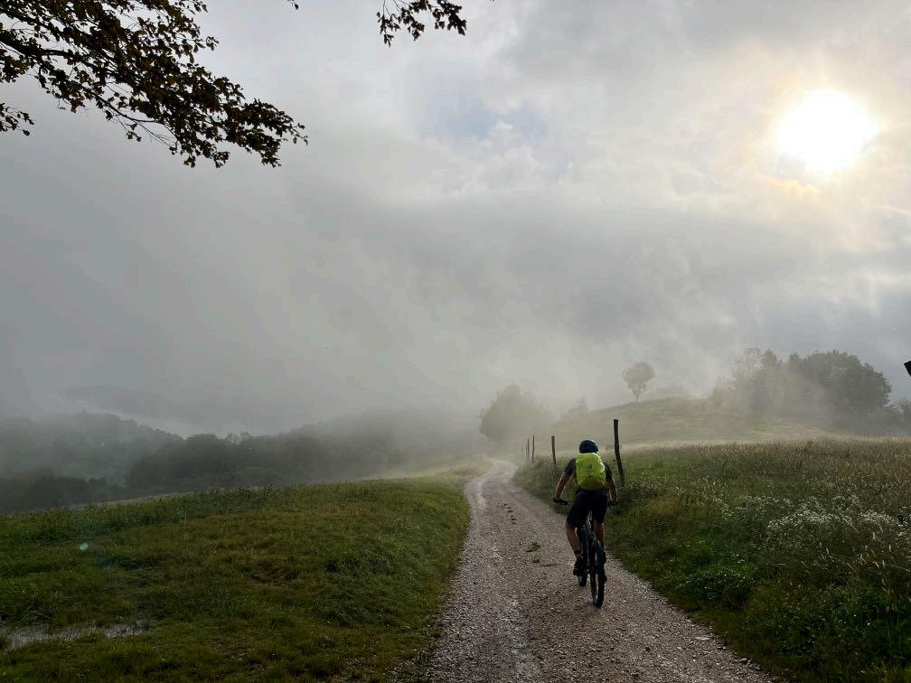


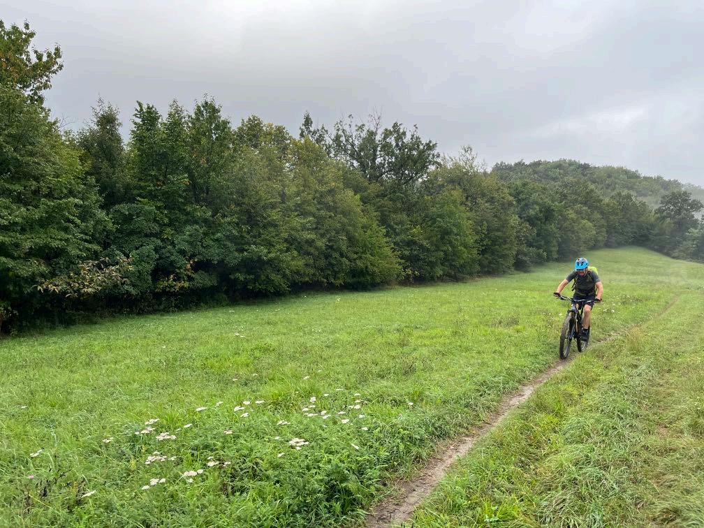
Nice trail to begin with.
www.go-alps.com
Morning ascend towards Sabotin.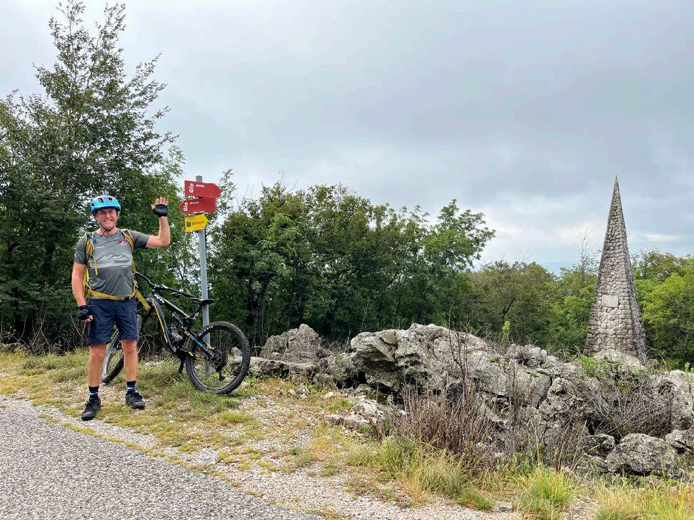

Greetings from the Pyramide.
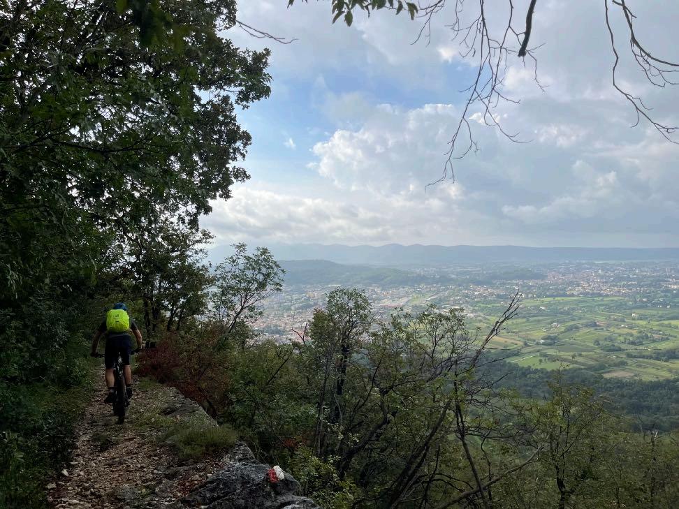

Sabotin Trail.
www.go-alps.com

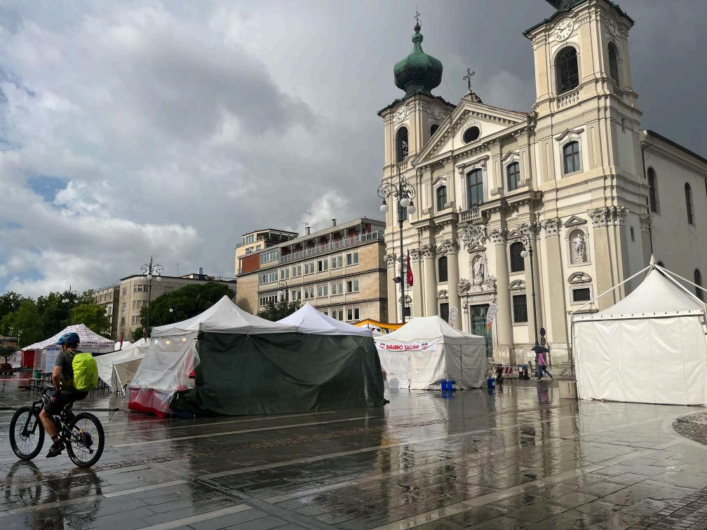
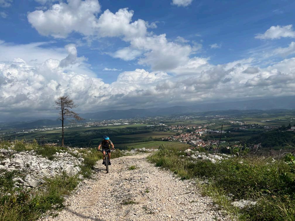

www.go-alps.com
In Gorizia we can sense the La Dolce Vita Feeling. Second ascend in the Slovenian Karst.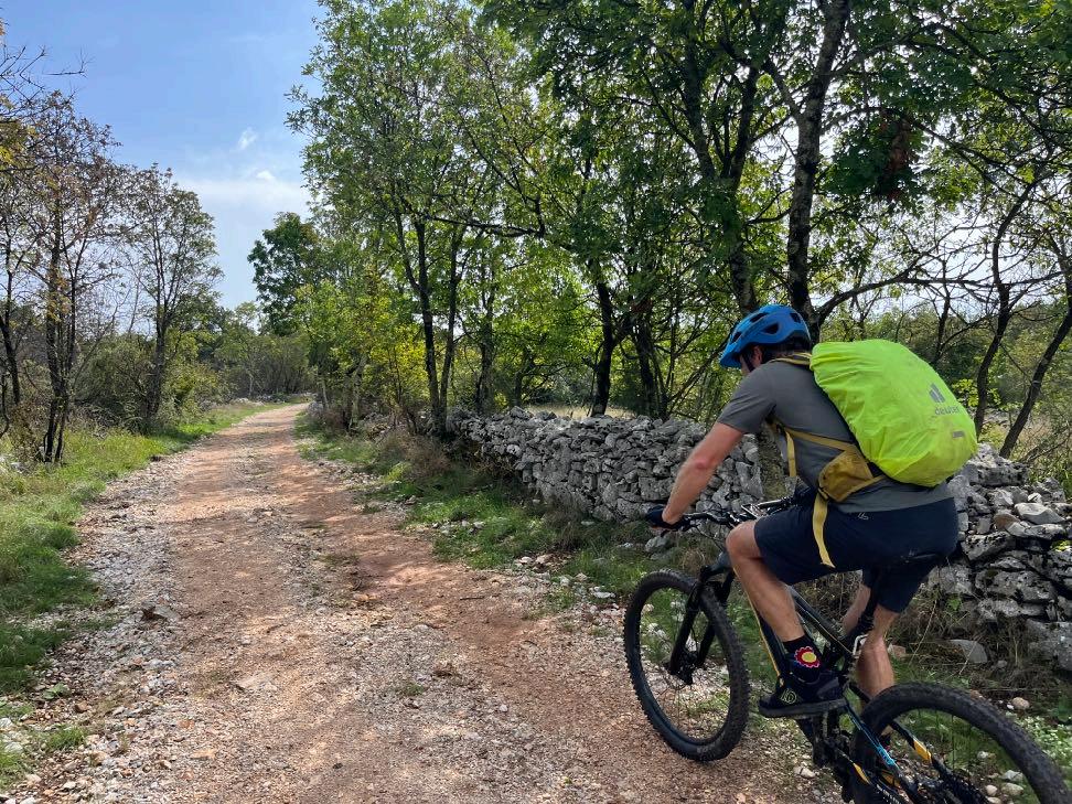

Today we are crossing the borders multiple times.
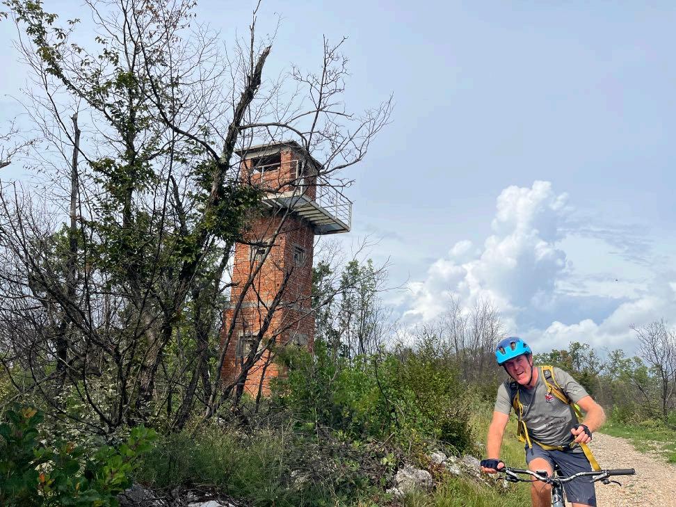

Abandoned watchtowers at the borders.
www.go-alps.com
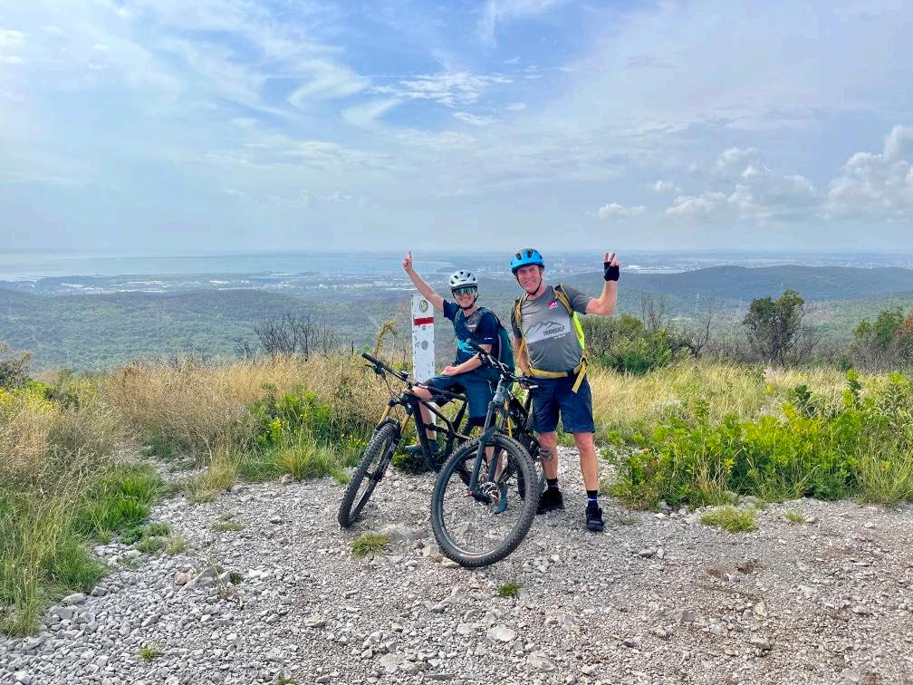

First time view of the Adriatic sea.
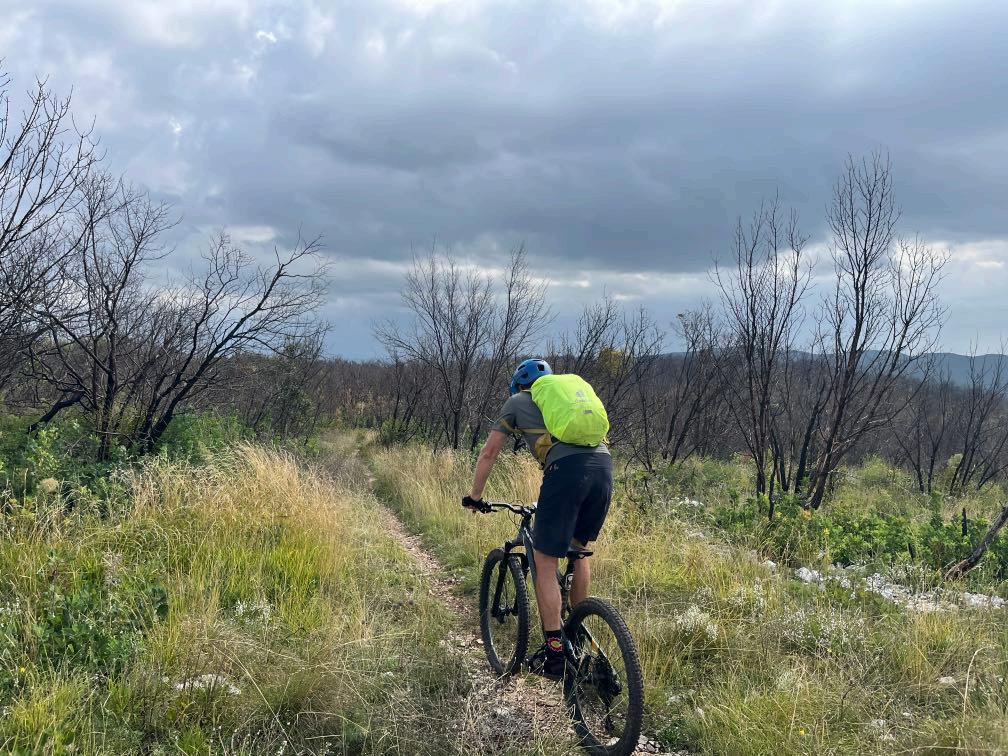

But before that, a few more trails.
www.go-alps.com
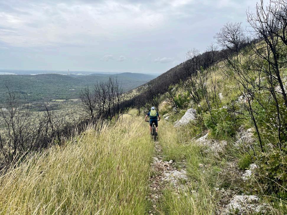


Some last hidden sections.
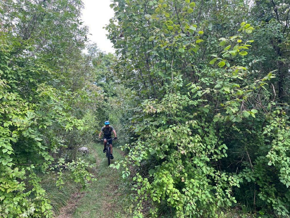
www.go-alps.com
Grand trail finale.We’ve arrived:
The Marina of Sistiana

www.go-alps.com

www.go-alps.com
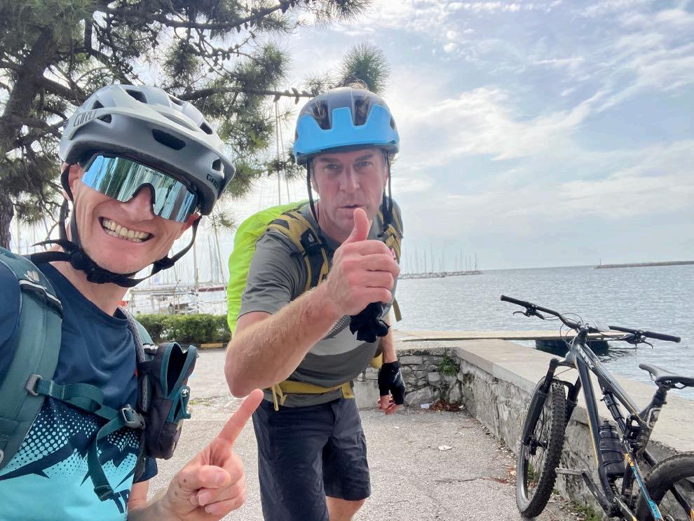


Now it’s time to celebrate.
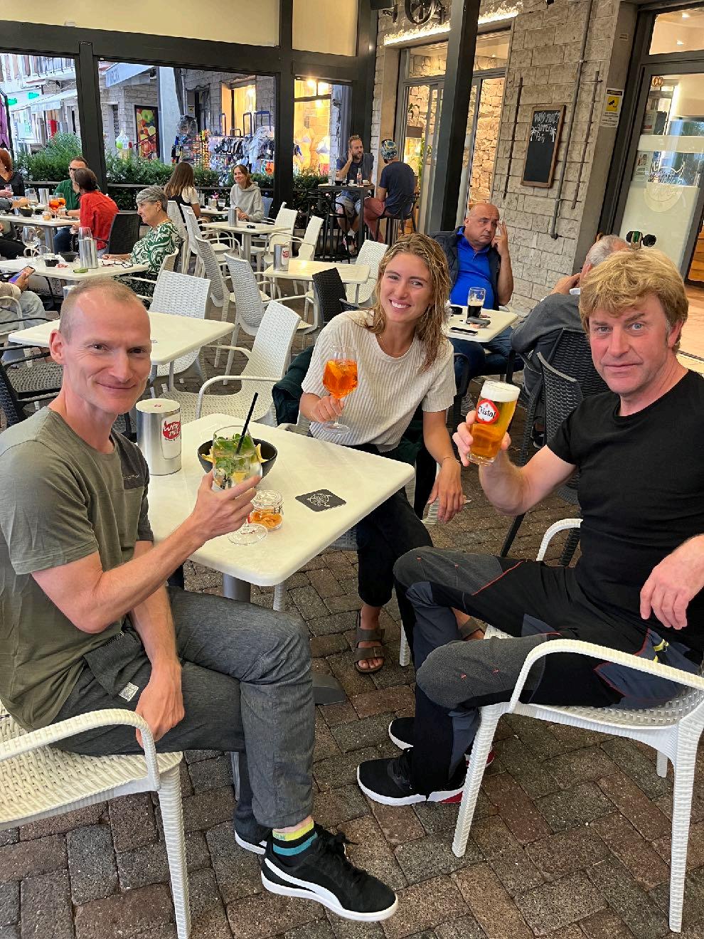 Succesful Scouting.
6 Stages - 365 km - 7300 m elevation gain

Illustration, Texts and Fotos: Sascha Müller



www.go-alps.com