
From Bad Tölz to Lake Garda

6 stages - 460 km - 9050 m elevation gain
The specialist for alpine crossing
Gravelbike Transalp Gardasee

From Bad Tölz to Lake Garda

6 stages - 460 km - 9050 m elevation gain
The specialist for alpine crossing
Gravelbike Transalp GardaseeThis gravel route is the result of more than 30 years of Transalp experience. We worked meticulously on the route to fulfill the requirements. Lake Garda was our goal. On the way there are high alpine experiences of a special kind. We start in beautiful Upper Bavaria, take on the challenge of three legendary passes, cross South Tyrol and reach the longed-for destination along the Brenta Dolomites. All this on trails that every gravel biker dreams of: mostly away from traffic, very close to nature, but with a sporting challenge!
This sporty Gravelbike Transalp can only be tackled with a modern gravel bike. We recommend 180 mm front disks, 12-speed gears with mountain-compatible gear ratios (1x: 40 front, up to 50 rear, 2x: 46-30 front, 42 rear). Tires with good tread and at least 40 mm wide. We recommend to abandon the backpack and instead ride with frame or handlebar bags.
Our tip: The panniers from deuter.com Lights on the bike are mandatory due to the mountain passes and tunnel passages. Riding on the lower handlebars is important to be safe off-road. This is especially true when riding downhill on loose gravel.
The Brenner, Jaufen and Mendel Passes are just three of the legendary alpine passes to be conquered on the six daily stages. You are always close to the most beautiful mountain landscapes on great gravel routes. It starts with the idyllic Jachenau and the turquoiseblue Lake Walchen. The route continues past the Zugspitze region to the mighty peaks of the main alpine ridge. We experience the most beautiful South Tyrol in Merano, Hafling and Bolzano. The primeval Italian Val di Non with cool flow trails along the Brenta Dolomites form the grand finale before Lake Garda.

www.go-alps.com
6 stages - 460 km - 9050 m elevation gain:
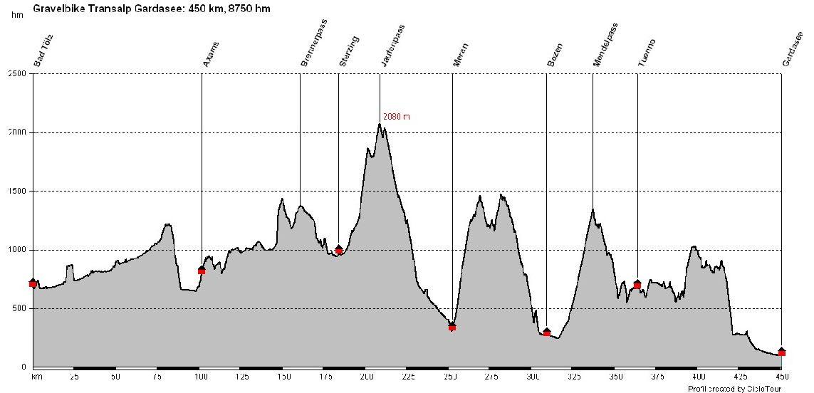
This Gravelbike Transalp is full of scenic highlights, but also full of technical challenges and steep climbs. Only those who see their gravel bike as a piece of sports equipment will be happy on this route. Although there are only short pushing passages, we have deliberately chosen many gravel paths and short, tricky flow trails. Some very steep ascents and descents on asphalt and loose gravel have to be mastered. In addition, all of the day's stages are physically demanding. The last stage to Lake Garda deserves special attention. It is long and almost exclusively on off-road routes. Find out more on our impressions page. All in all, an absolute super tour with the potential to become as iconic as the legendary gravel route, the Strada Bianche, in Tuscany.
Tom Bauer, ALPS-Guidewww.go-alps.com
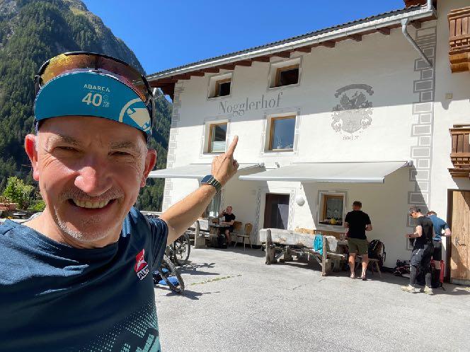
Highlight No 1: Start in Upper Bavaria
www.go-alps.com

www.go-alps.com

www.go-alps.com
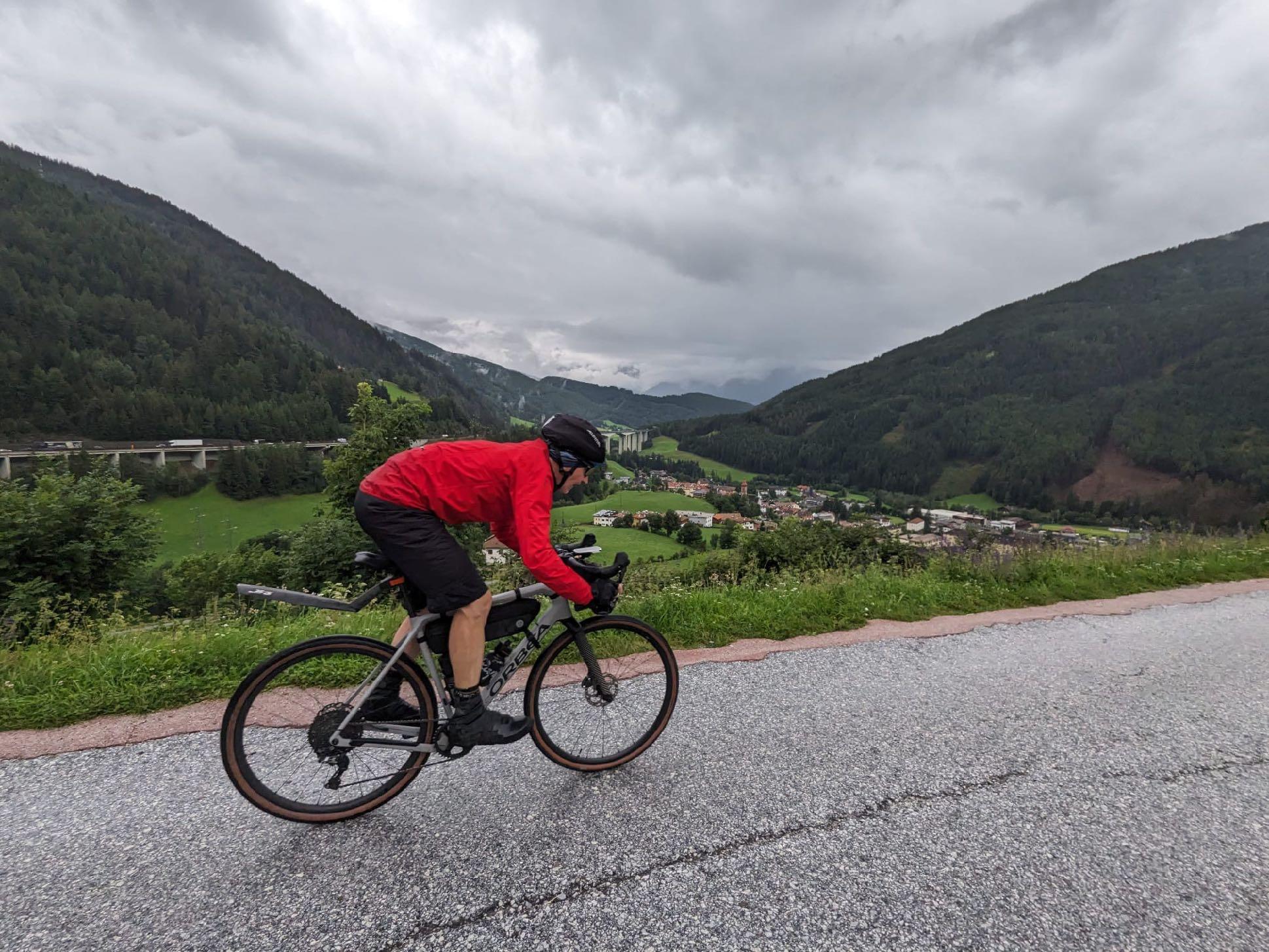

www.go-alps.com
Highlight No 4: Ratschings/Jaufen Pass
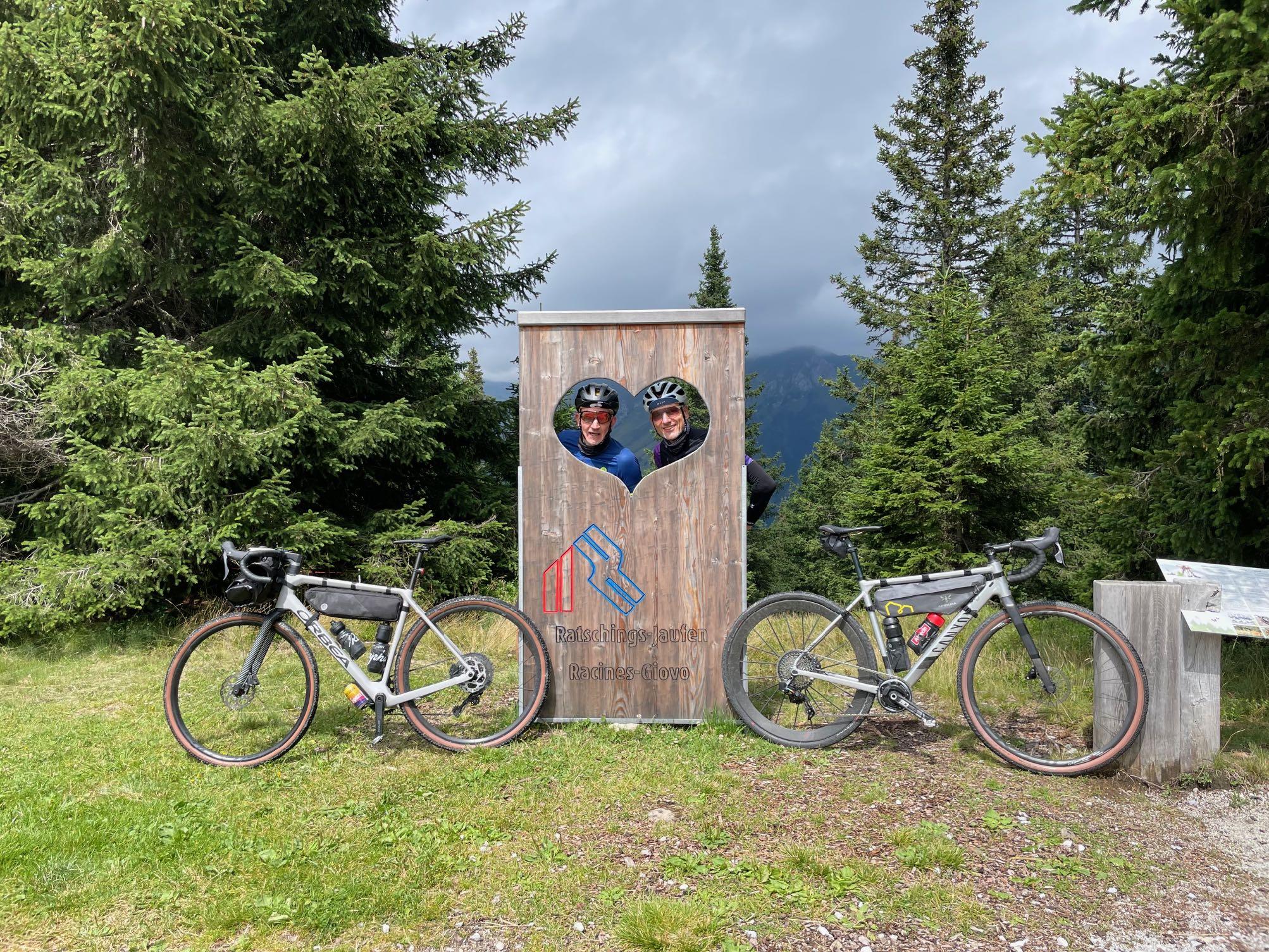
www.go-alps.com

www.go-alps.com
Highlight No 5: Arrival in Merano

www.go-alps.com

www.go-alps.com
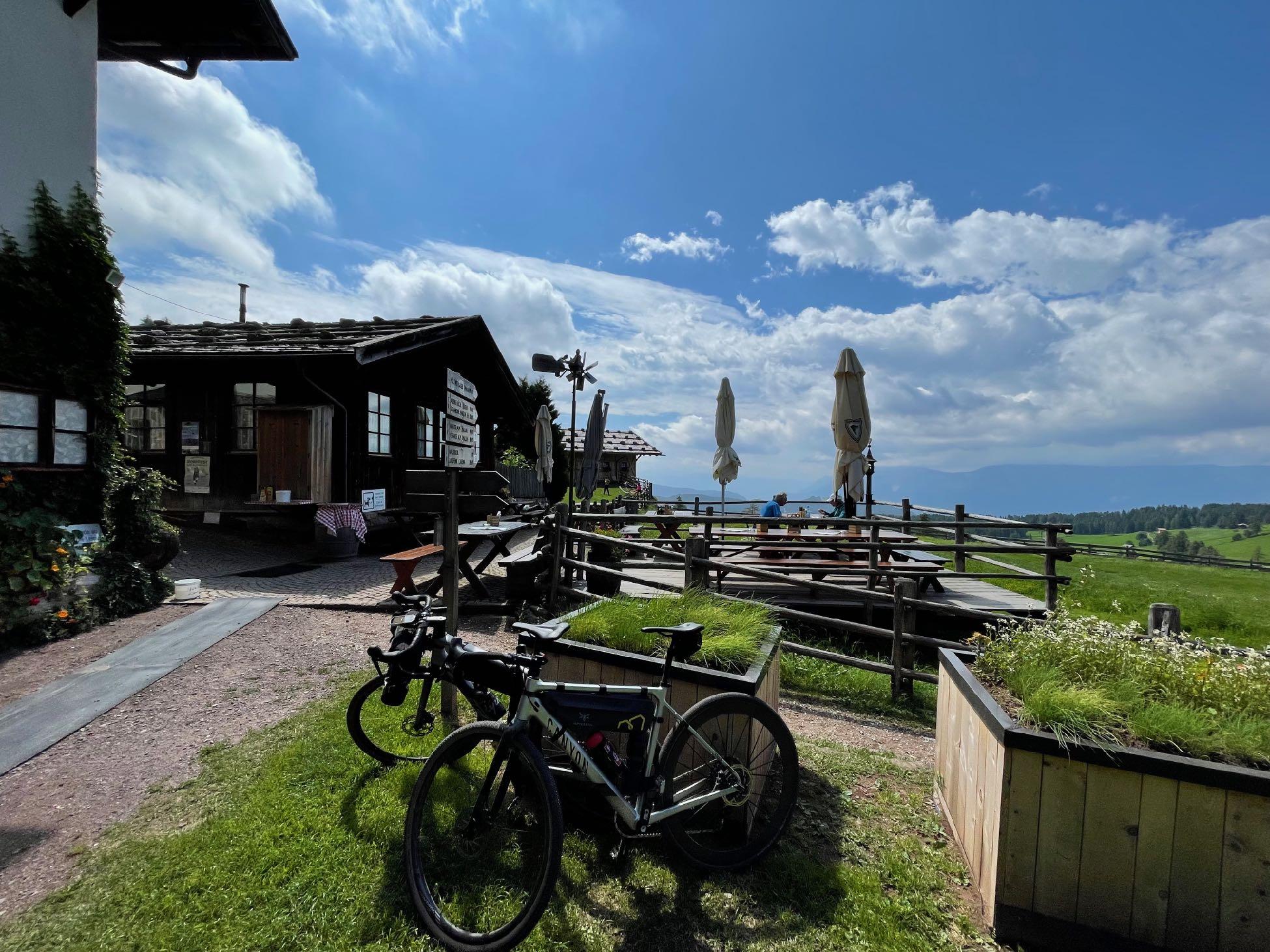
www.go-alps.com

www.go-alps.com
Highlight
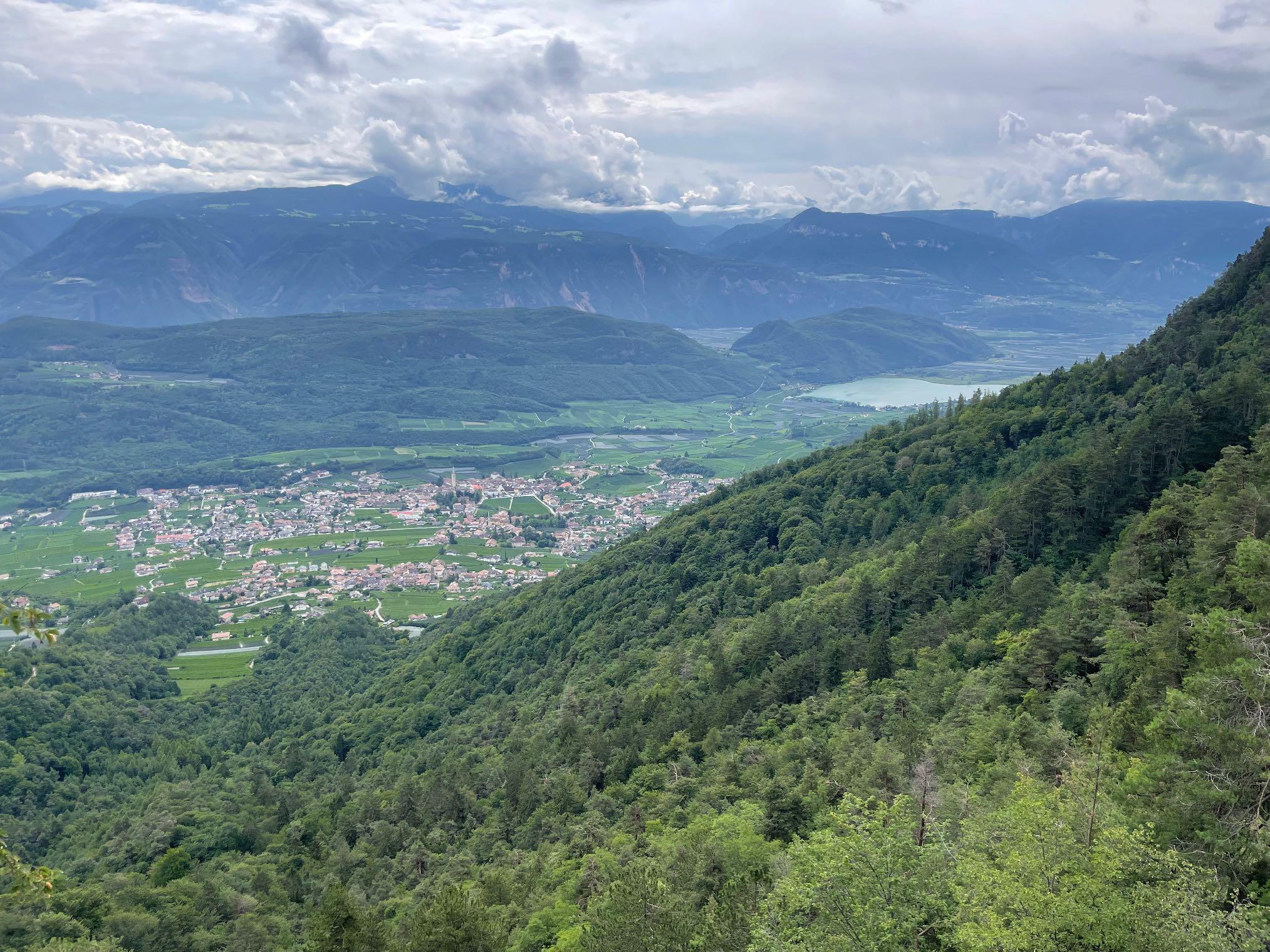
www.go-alps.com
No 7: View from the Mendel Pass
www.go-alps.com

www.go-alps.com
Highlight
www.go-alps.com
No 9: Brenta Bike Trail
www.go-alps.com

www.go-alps.com

www.go-alps.com
www.go-alps.com

www.go-alps.com
Gravelbike Transalp Lake Garda 1. stage - 105 km - 1400 m elevation gain from Bad Tölz to AxamsOur Gravelbike Transalp starts in the classic way in beautiful Bad Tölz on the northern edge of the Alps. We first roll gently along the Isar towards Lenggries. We can already see the Benediktenwand and the Brauneck ski resort. Passing Wegscheid, we struggle a little through the Isar gravel. So the transalp can go on.
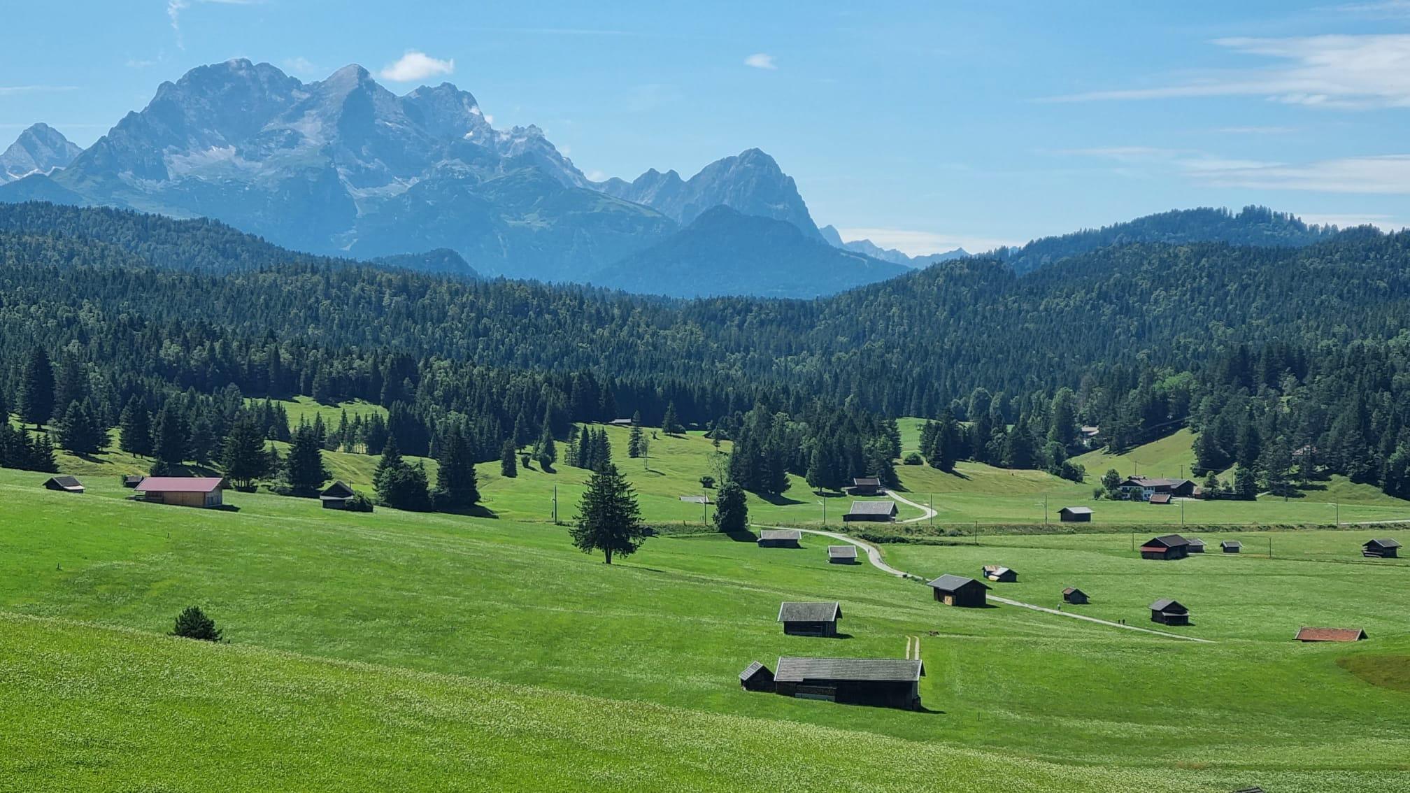
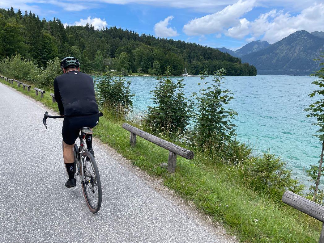
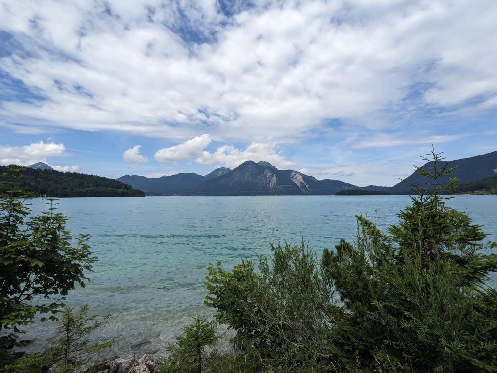
We reach the sunny Jachenau Valley via the most beautiful gravel sections. Cycle path, gravel and short trails alternate. We continue along the toll road to the turquoise-blue Lake Walchen. It is rightly nicknamed the "Bavarian Caribbean". What a panorama. The Karwendel and Werdenfels mountains lie before us in all their glory. Munich's local mountains; Herzogstand, Joch- & Setzberg and Heimgarten right next to us. There are also a few surfers in the lake. We decide for the western shore and take the cycle path to Wallgau. We
• Start in Upper Bavaria
• Sun valley Jachenau
• Lake Walchen
• Wallgau and the Karwendel
• View to the Zugspitze
• Descent into the Inn Valley
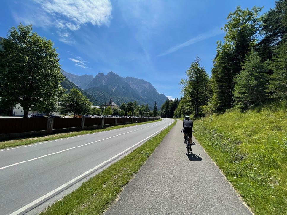
are impressed by the Lüftlmalerei painting in the home town of legendary biathlete Magdalena Neuner. We gravel along the mighty Karwendel massif and always up the Isar to Mittenwald. The state border with Tyrol is our next destination. The famous Karwendel valleys begin in Scharnitz and continue up to the Isar spring. However, our ride takes us along the Leutasch to Seefeld in Tyrol. The imposing summit of the Hohe Munde marks the view across to the Zugspitze massif.
Now comes the long, gravelly descent down into the Inn Valley. On the Inn Valley cycle path, it's time to put in another few kilometers before the final afternoon climb to Zirl. We ride up to Axams via the main road. Once at the top, we enjoy our first cold drink and recall the many great impressions of the day.
www.go-alps.com

Start
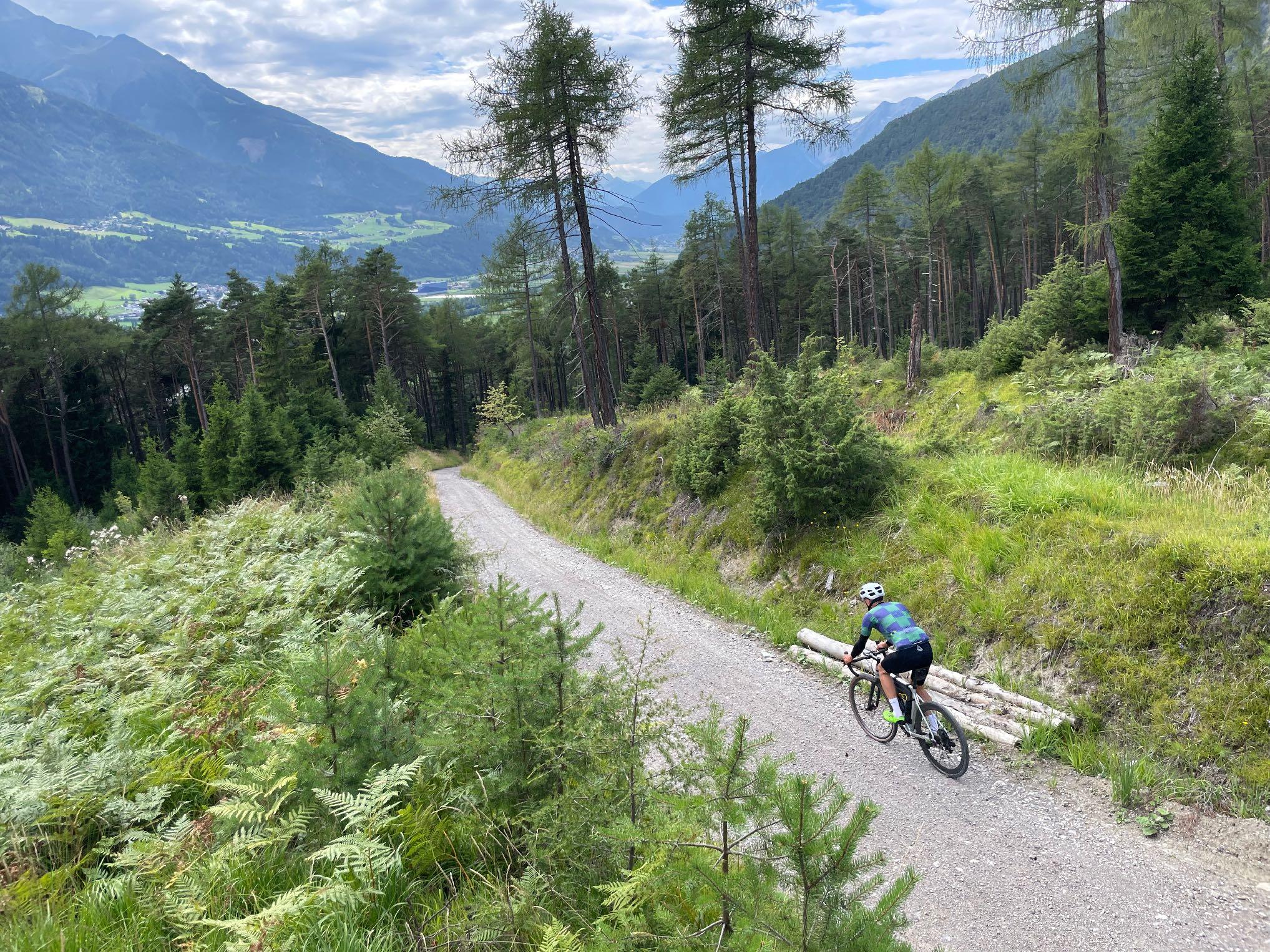
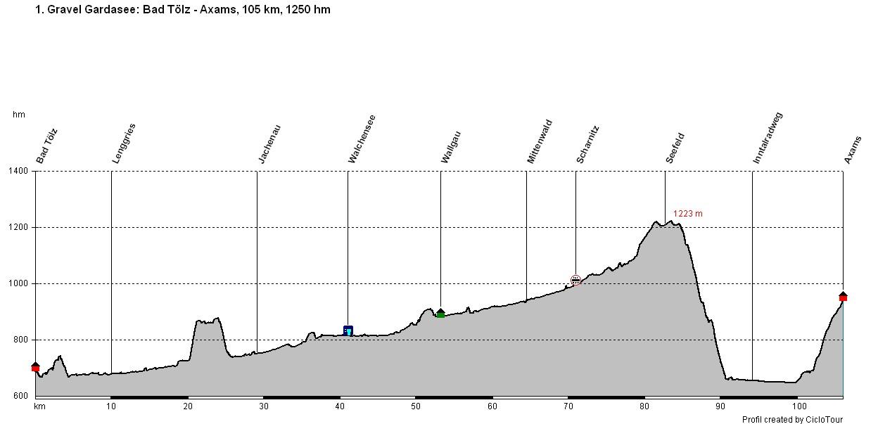
We take it easy. Initially on a mix of small asphalt and gravel paths. A steep climb leads into the Jachenau. The descent afterwards is on a wide gravel path. Always ascending towards Lake Walchen. From here, the gravel surface is good and there are always short sections of trail. In the Karwendel Valley along the Isar, good gravel again, towards Seefeld also through beautiful pine forests. The long gravel descent into the Inn Valley begins at the Zirler Mountain. Your brakes and hands are put to the test, in sections it is very steep on loose gravel. We cycle along the Inn cycle path, relaxing and gathering strength for the final ascent to Axams. Here we only have the busy road to contend with. All in all, a long stage! And the elevation profile shows it: It's mostly uphill!
www.go-alps.com
in Upper Bavaria, past the turquoise Lake Walchen.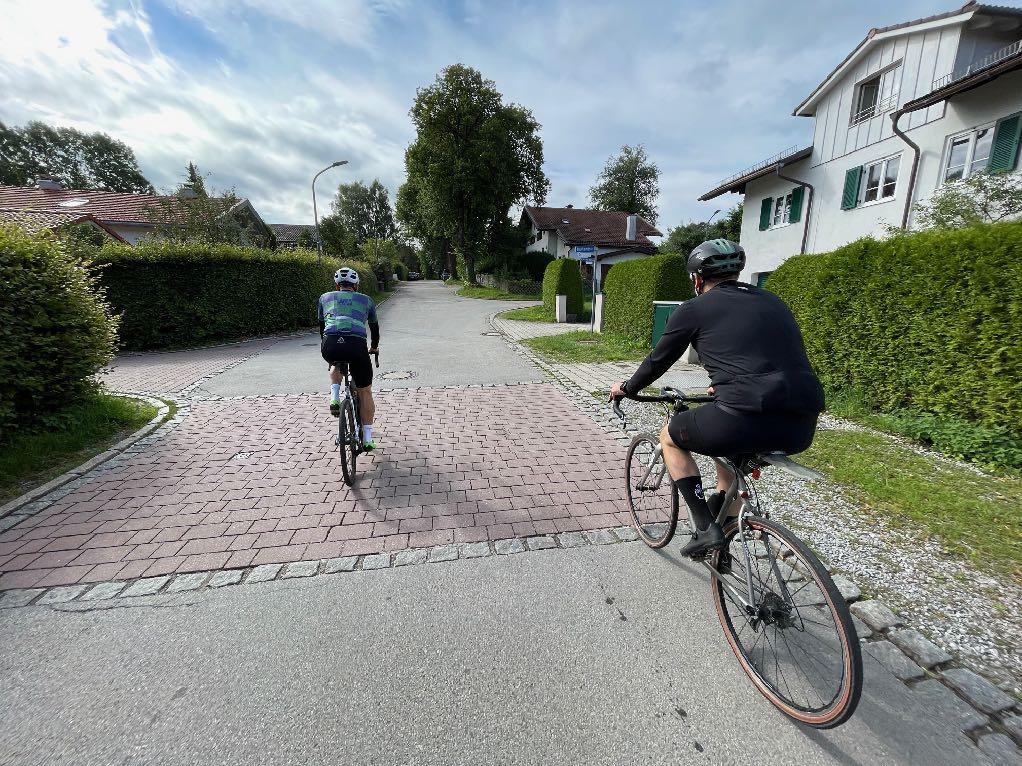


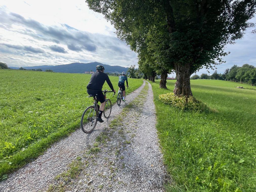
Gentle rolling in on wonderful, lonely country lanes.
www.go-alps.com

We quickly reach the ski resort Lenggries.
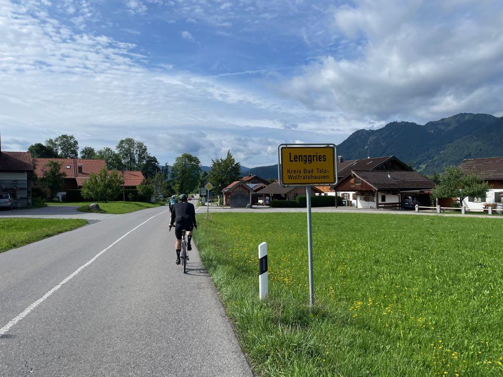

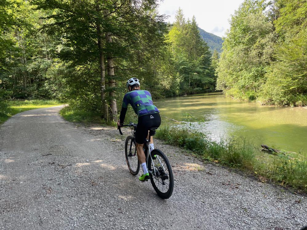
Further along the green Isar.
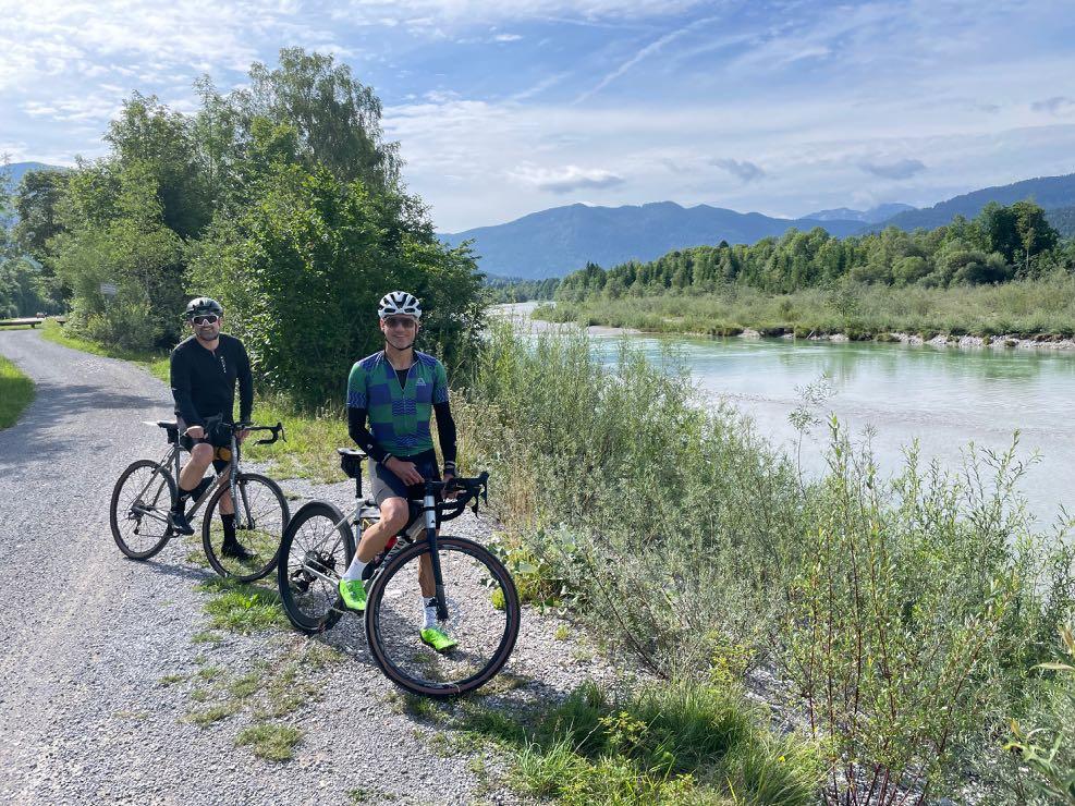
www.go-alps.com



www.go-alps.com
The idyllic riverside route is the most beautiful gravel terrain. Steep climbs on gravel are unavoidable.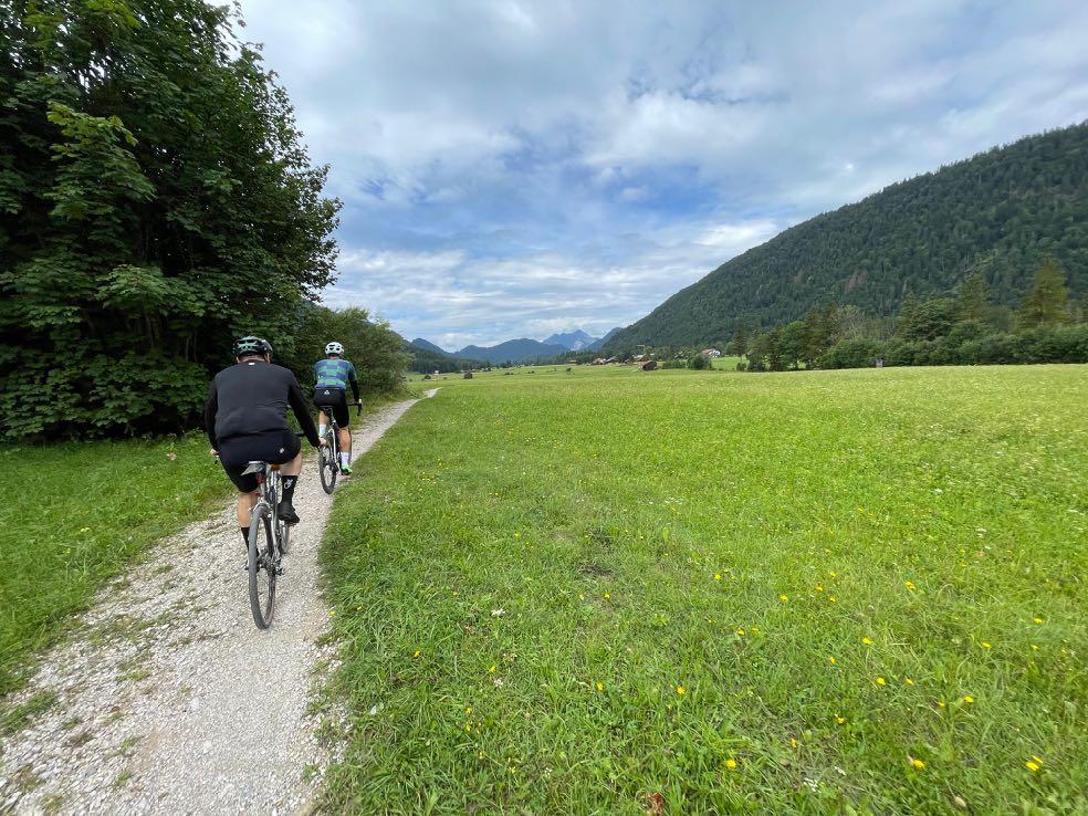

Then

www.go-alps.com
the sun valley opens up - the Jachenau. Lake Walchen - the Bavarian Caribbean - makes up for all the effort.
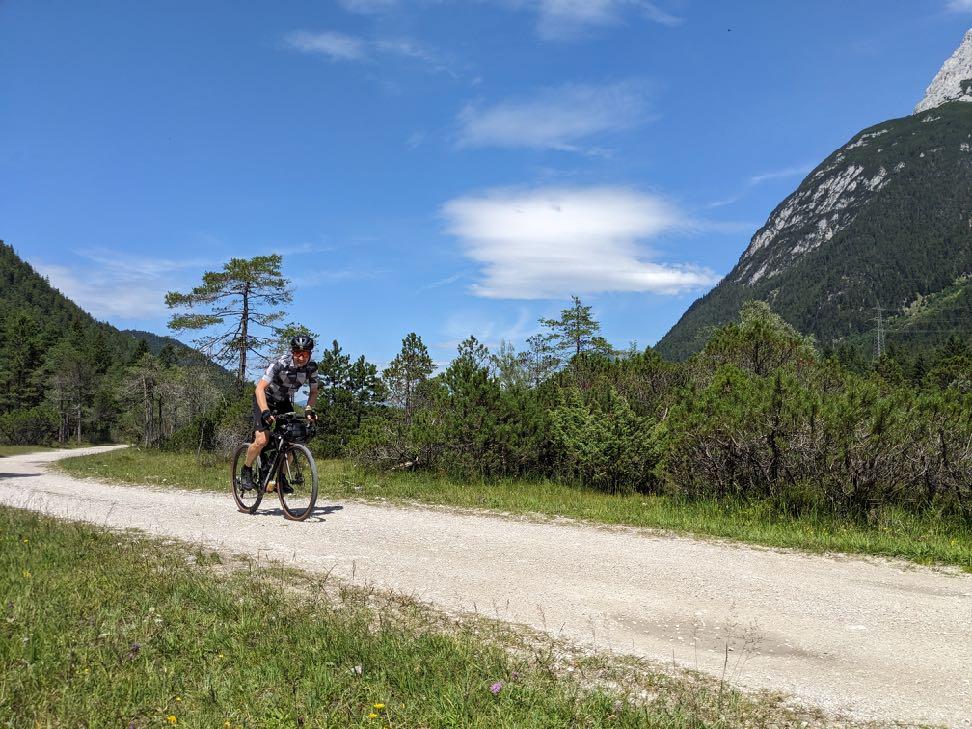

www.go-alps.com
The mighty massif of the Karwendel emerges. Past the Seefeld cross-country ski center.
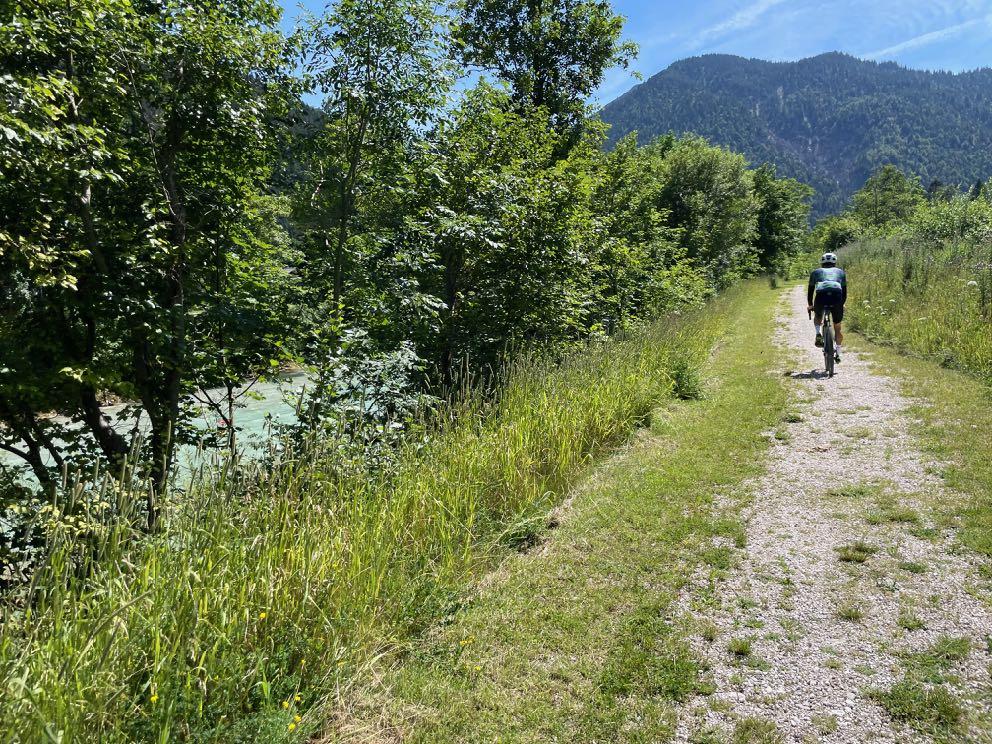

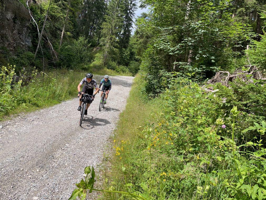
www.go-alps.com
Pure solitude along the green Leutasch. The descent into the Inn Valley is tough - steeper than the photo shows.
This downhill almost never ends - 600 depth meter in one go.


www.go-alps.com
View back to the Zugspitz massif.
The last few km on asphalt to Axams - some people are grateful for that.
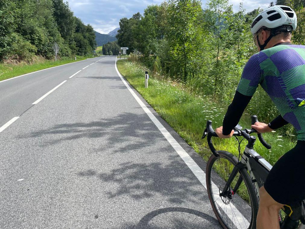


www.go-alps.com
Cheers! The arrival drink is more than deserved.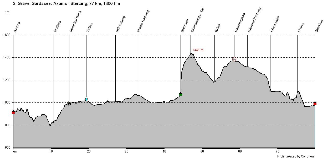
www.go-alps.com

www.go-alps.com
Gravelbike Transalp Lake Garda 2. stage - 77 km - 1400 m elevation gain from Axams to SterzingA short, steep asphalt ascent leads directly from Axams to the first high-level trail of the day. Again and again, the views of the Inn Valley are magnificent. Today it's also important to manage your strength well. Via Götzens and Mutters we make our way steadily upwards, leaving Innsbruck and the northern range behind us. Along the Stubai Valley railroad we reach the last houses near Keith. This is followed by the best gravel terrain again. A beautiful highlevel trail leads us into the Stubai Valley, offering wonderful views of the glacier world that still exists. In Telfes in the Stubai Valley we cross the Ruetz, and thus the valley side. Above the Brenner toll station, where everyone has stood before, our route continues to Schönberg. From here on, the Matrei cycle path begins, running partly spectacular-
• Matrei cycle path
• View of the Stubai Glacier
• Brenner Pass
• Trails just before Sterzing
• The old trading town Sterzing
ly below the highway. Shortly before Mühlbachl, the view opens up back to the Patscherkofel and partly into the Tux Alps. In Steinach, we still don't reach the Brenner road, but climb steeply up to Nösslach. We make a detour into the picturesque Obernberg Valley. From Vinaders, we then speed along to Gries. We only have to take the main road up to the Brenner Pass for the last four kilometers. Thanks to the moderate gradient, this is quickly accomplished. At the top, we are greeted by a perfect cycle path on the old railroad line down to Gossensass. A final trail delicacy then leads to the old trading town of Sterzing. The historic town center alone is worth the trip. Overnight stay right at the beginning of the old town.
www.go-alps.com

Experience the Brenner Pass in a different way: Gravel Transalp Lake Garda!

We work up a sweat right at the start, but only briefly. Afterwards, we are rewarded with a beautiful mountain trail. Our gravel biker hearts beat faster. On the way to the Stubai Valley, however, there are always short, steep, hidden metres in altitude, but far away from car traffic. The cycle path to Matrei begins at Schönberg. Here, too, we have to pedal alternately uphill and downhill. The route to Steinach is again rich in variety. In Steinach we have to gather our strength for the ascent on asphalt into the Obernberg Valley. From Vinaders there is a very fast descent to Gries at the Brenner. For the last 4 kilometers there is only the main road to the Brenner Pass. The cycle path to Gossensass follows. Shortly before Sterzing there is another narrow trail that requires full concentration. Due to the many ups and downs, this is a long stage that should not be underestimated. The reward: only a few have ever experienced the transition from north to south in this way.
www.go-alps.com
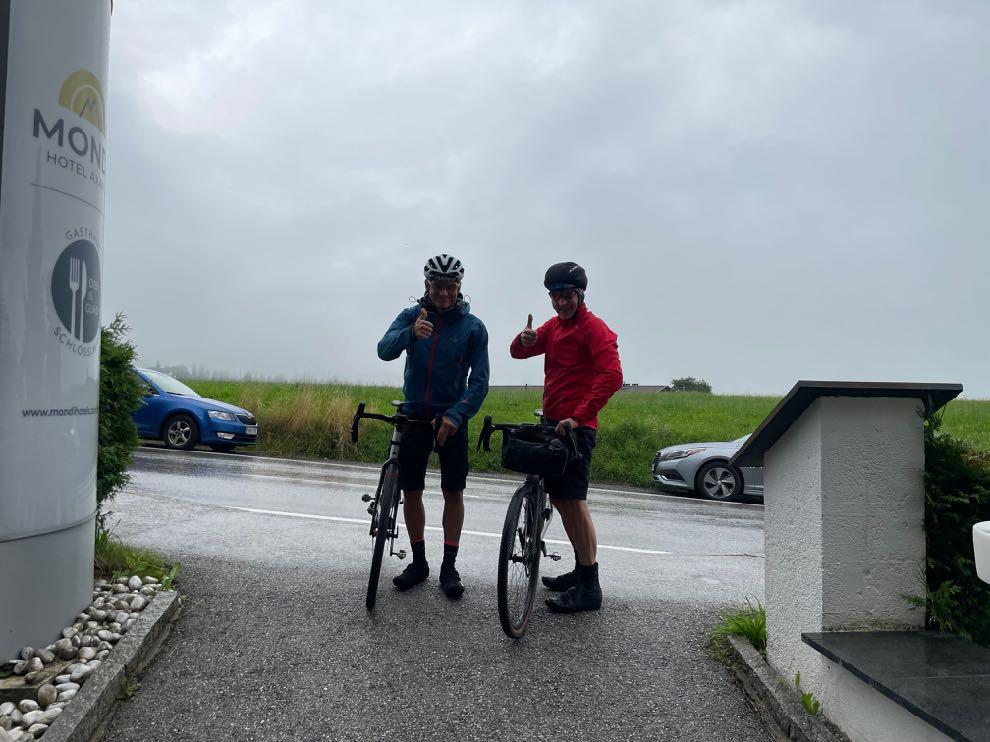

A

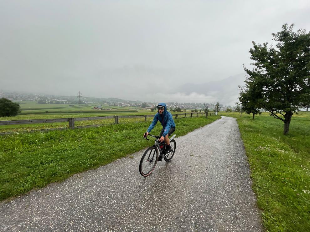
www.go-alps.com
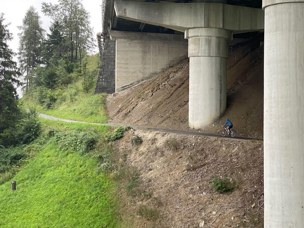
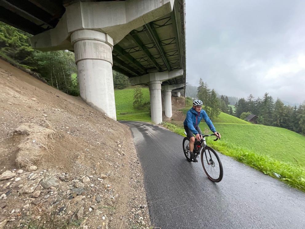
change in the weather cannot frighten us. The direction is clear: we are heading for the Brenner Pass.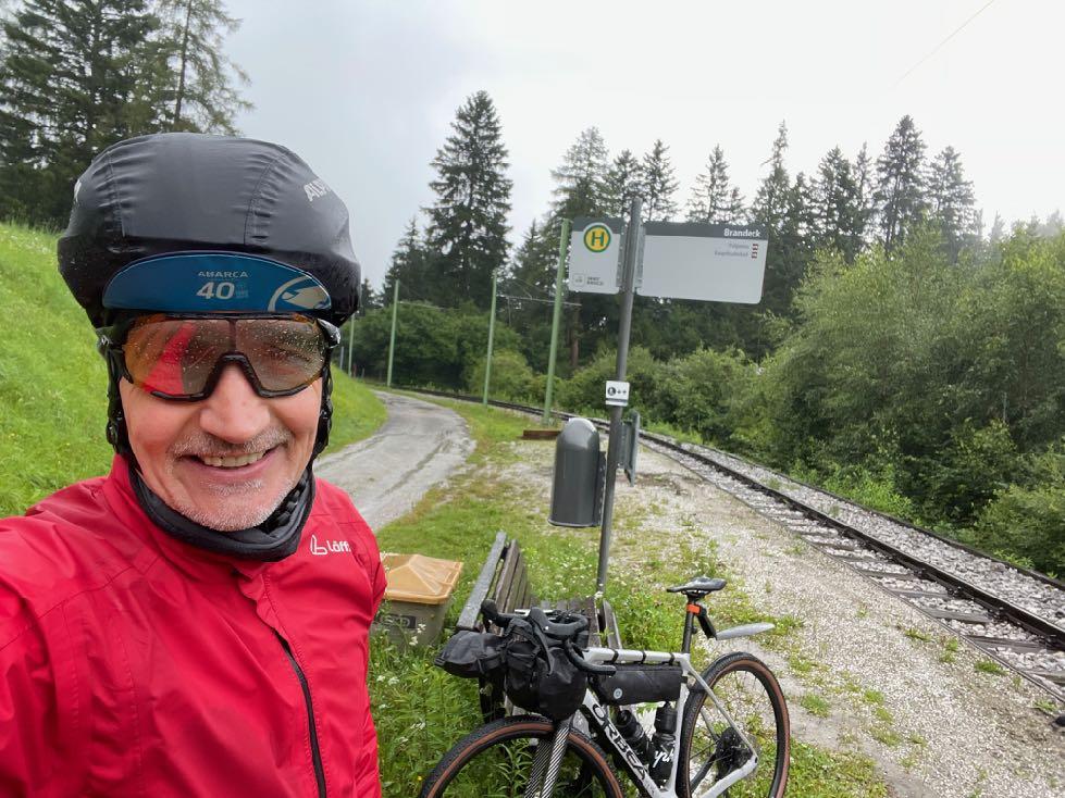


www.go-alps.com
Before that, a moderate ascent leads us along the Stubai Valley Railroad. Somewhat hidden below the Brenner highway.
The

www.go-alps.com
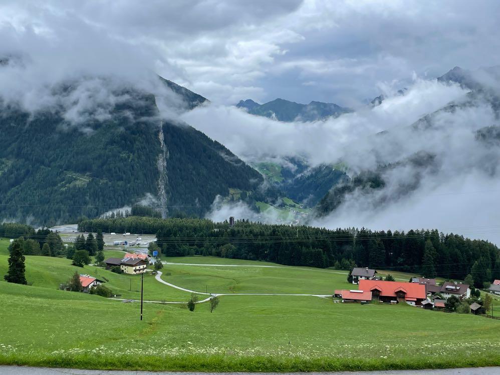
cycle path was completely redesigned. View of Schönberg from the main Alpine ridge.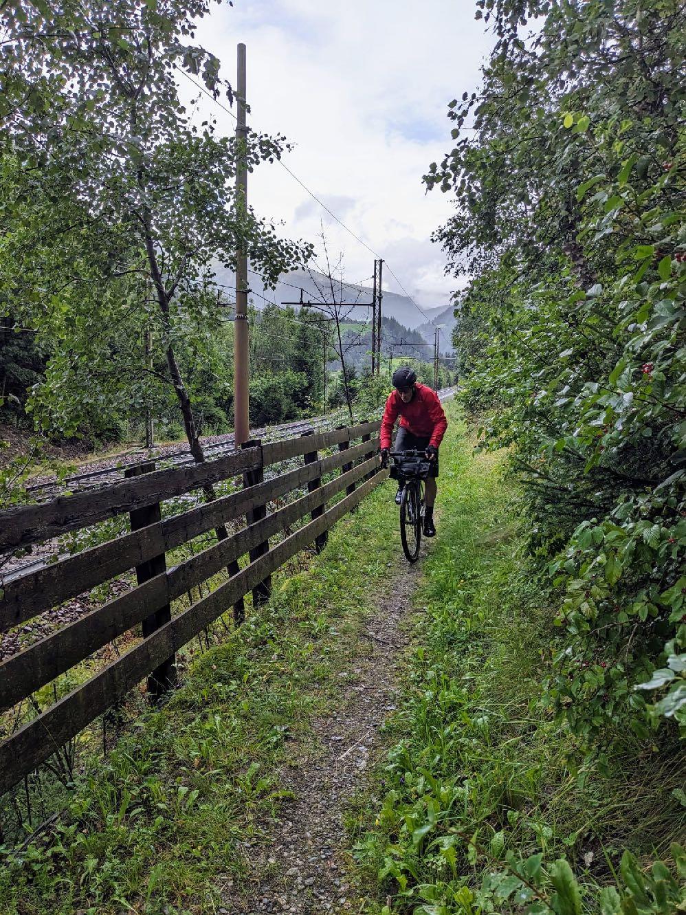


www.go-alps.com
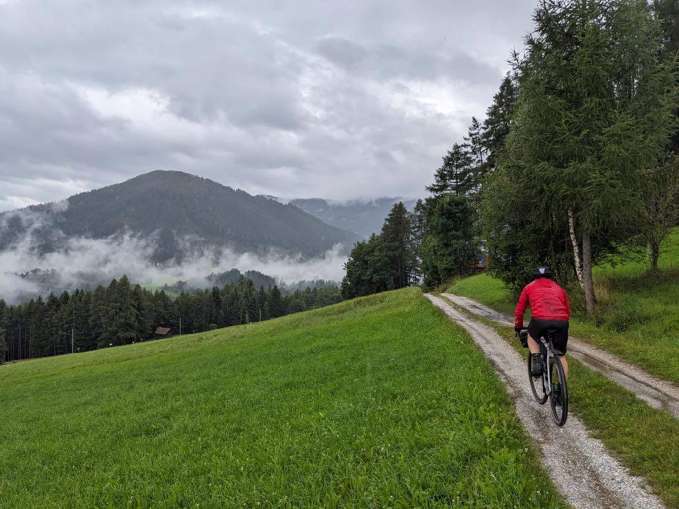
The final highlight: a somewhat hidden trail. Today we reach South Tyrol.
www.go-alps.com
Gravelbike Transalp Lake Garda 3. stage - 73 km - 1600 m elevation gain from Sterzing to Merano

www.go-alps.com
The Brenner Pass is followed today by the Jaufen Pass. We have a more than hearty breakfast. We cycle past the Zwölfer Tower and through the old town on the cycle path towards Brixen. We leave Brixen shortly after and turn off towards the Ridnaun Valley. Hidden paths first lead to Gasteig. This is where the ascent to the Jaufen Pass, known from the Ötztal Cycle Marathon, begins. But we leave it to the left, we have more solitary plans. First we gravel along the Mareiter stream to Wolfsthurn Castle. In fine weather, we have a view of the glacier world of the rear Stubai Valley. At an altitude of 3200 meters sits enthroned the Becher House - the highest hut in South Tyrol. The easy rolling comes to an abrupt end for us. Now it's a long climb. First over the Jaufensteg into the Ratschings Valley. Once we arrive at the valley station, things get sporty.
The long ascent on gravel demands all our strength. We are rewarded with a fantastic view from the Rinner Hut. We are right in the middle of the Jaufen/
• The legendary Jaufen Pass
• The rustic Ratschings Valley
• Ascent to the Rinner Hut
• Descent into the Passeier Valley
• Arrival in the spa town of Merano
Ratschings ski area. After a delicious cappuccino, we roll past the Kalcher Hut to the Jaufen Pass road. We then tackle the last 3 kilometers of the pass together with the car and motorcycle traffic. The Jaufen Pass, at an altitude of almost 2100 meters, is the transition to the Passeier Valley. Our lunch breakthe Fleckner Hut - is perched up here like an eagle's nest. A 360 degree panorama opens up. We look back at the main alpine ridge with the Stubai and Zillertal Alps, to the right we can see the Ötztal and Texel Group and in front of us are the peaks of Merano 2000. We can also see deep into the Passeier Valley. Mountains don't get more spectacular than this. We now have almost 2000 meters of descent to the day's destination. First we speed downhill on the pass road, then cross over to the other side of the valley and wind our way down to St. Leonhard meter by meter. From here, a fast, comfortable cycle path begins all the way down to Merano.
www.go-alps.com


The royal stage is calling - high alpine gravel biking. We start the day at the Mareiter stream with a few nice trail sections. A short, steep ascent into the Ratschings Valley follows. Here again beautiful paths to the Bichl Valley station. Now begins the partly (up to 18 %) steep forest road ascent to the Rinner Hut. High alpine gravel biking! Later, we only have a few hairpin bends on the road to the Jaufen Pass. The descent is fast and long in places. In the Walten Valley above St. Leonhard we change to a small road. In the Passeier Valley, we then stay mainly on the cycle path with gravel and asphalt sections. Please note: After the long climbs of the morning, you will need sufficient strength and concentration for the sometimes fast descents. In return, we are rewarded with high alpine mountain panoramas and we conquer a legendary alpine pass.
www.go-alps.com
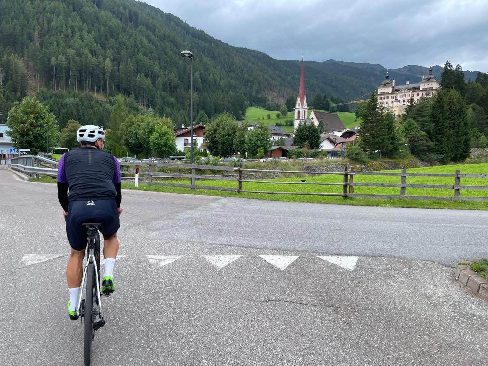
A legendary pass and the crossing into the Passeier Valley.
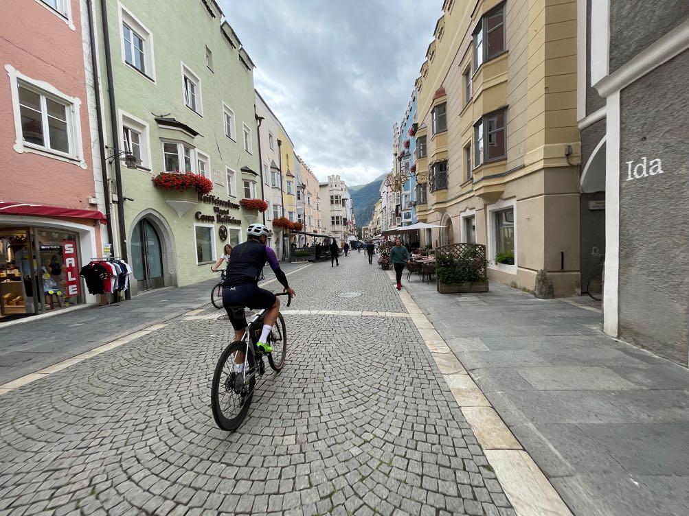
Start in the silver town of Sterzing.

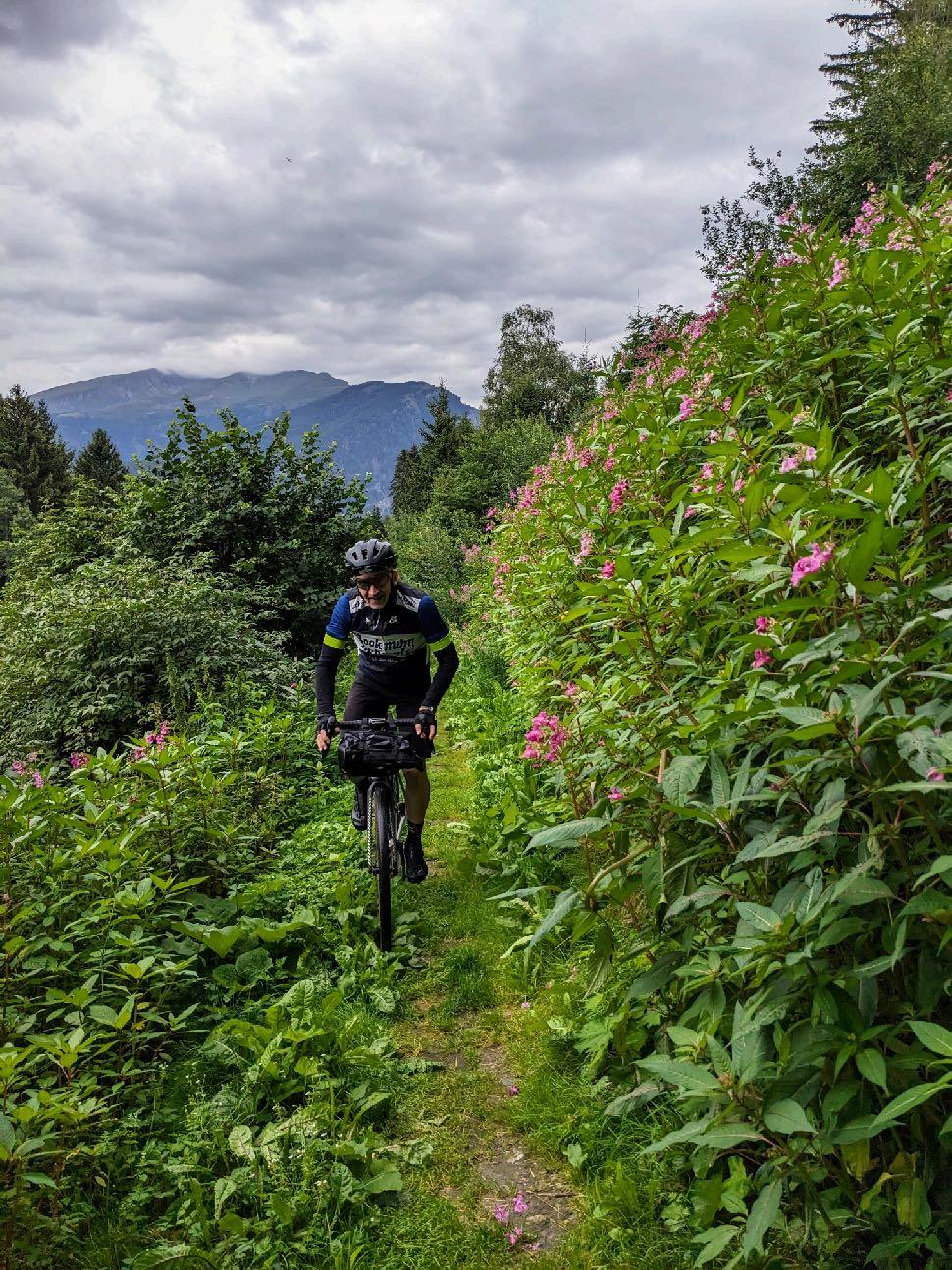
The trail in the morning awakens the spirits.


Now

www.go-alps.com
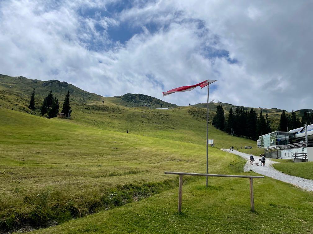
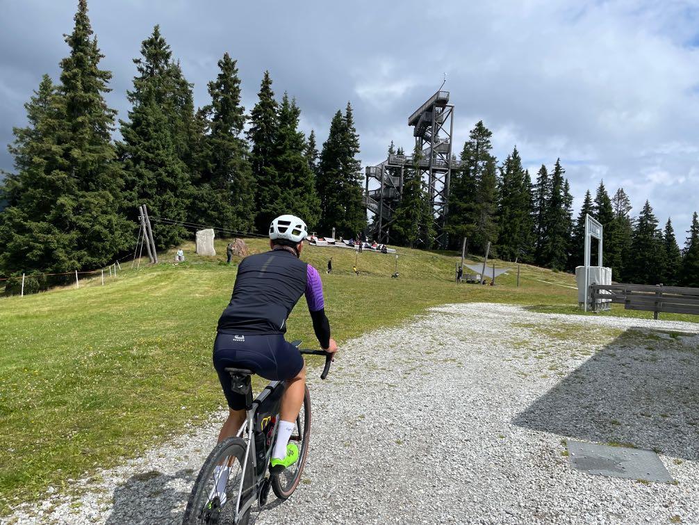
View of Wolfsthurn Castle - the only baroque castle in South Tyrol. we head up into the remote Ratschings Valley.

www.go-alps.com
And even further into the ski resort. Shortly before the Rinner Hut, the landscape opens up.


www.go-alps.com
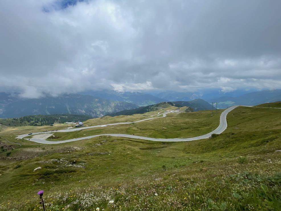
View back to the overcast main alpine ridge. The last hairpin bends before the top of the pass.
www.go-alps.com

www.go-alps.com


www.go-alps.com
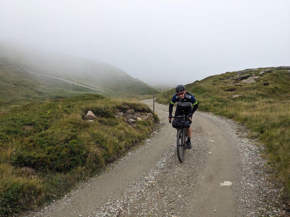
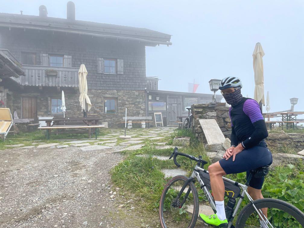
Fog at the Fleckner Hut is of course the exception… High alpine terrain with the gravel bike.
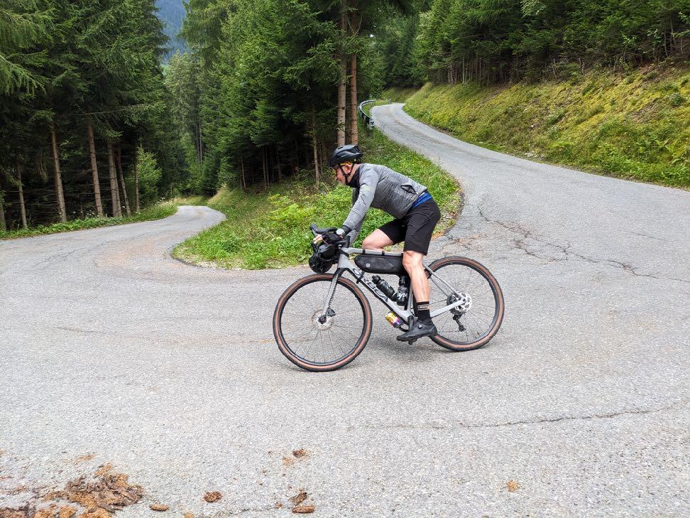
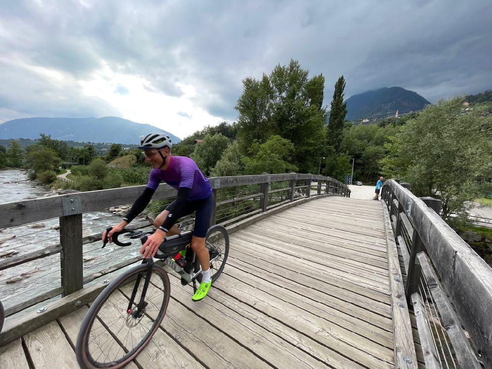

www.go-alps.com
A rapid descent into the Passeier Valley. The cycle path shortly before the day's destination Merano.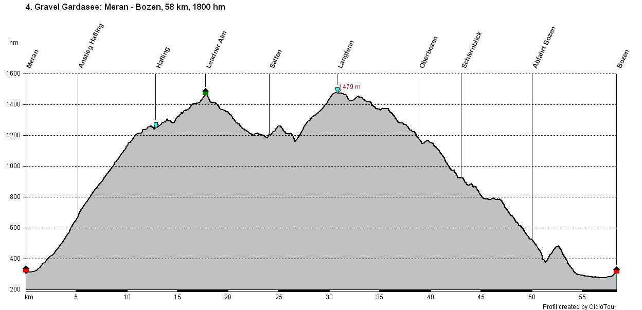
www.go-alps.com

www.go-alps.com
Gravelbike Transalp Lake Garda 4. stage - 58 km - 1800 m elevation gain from Merano to Bolzano• Ascent to Hafling
• Graveling at Salten
• View into the Dolomites
• Routes to Upper Bolzano
• Arrival in the regional capital
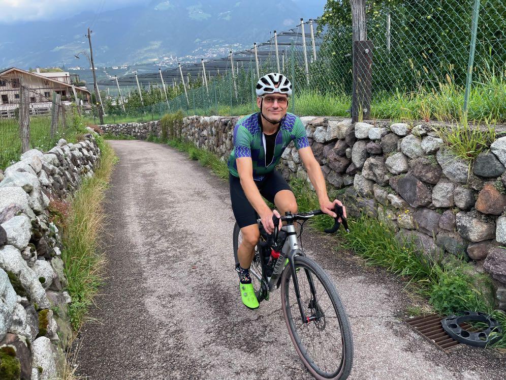
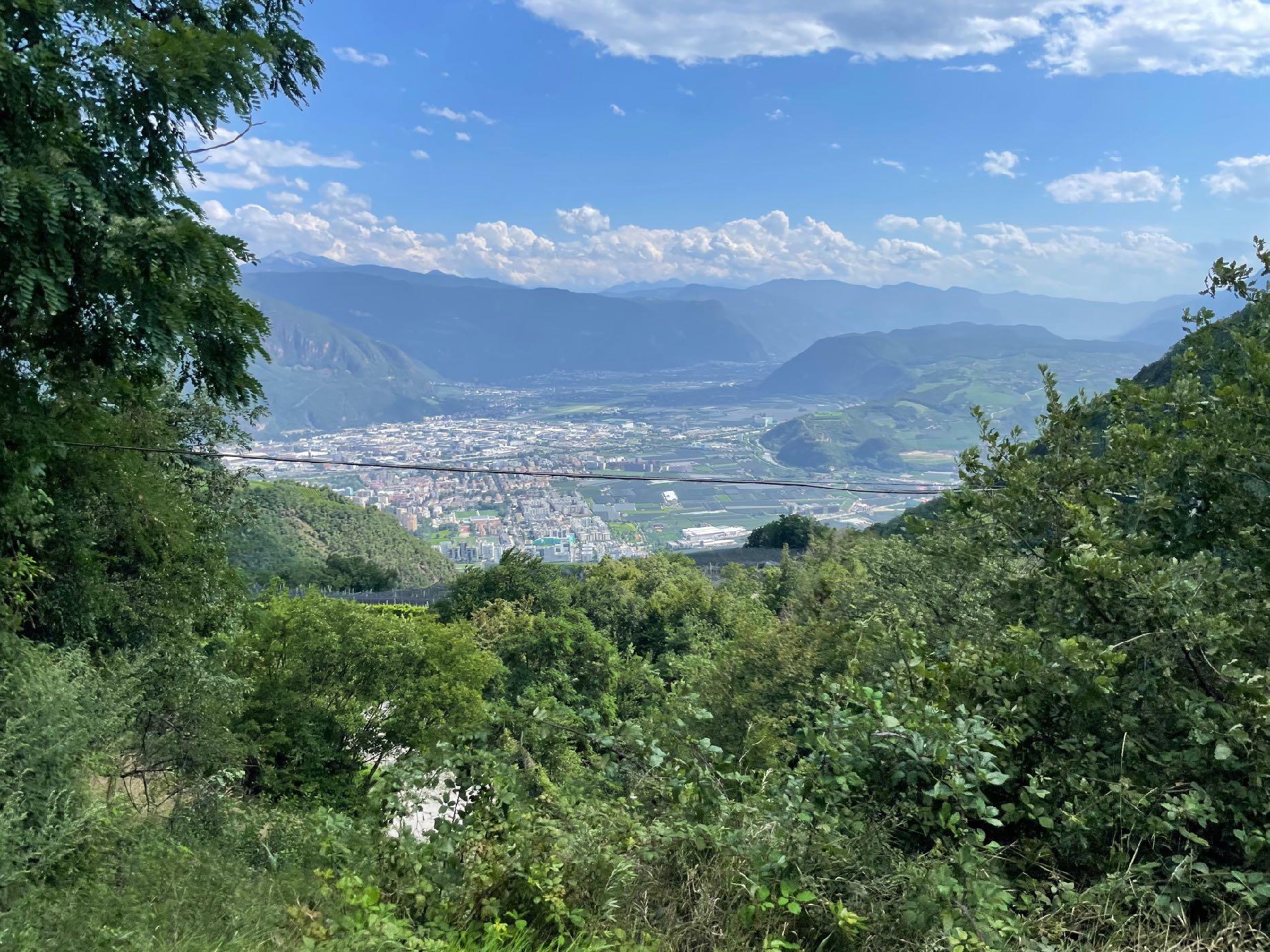
The day's stage from Merano to Bolzano could be completed in just over an hour on the cycle path. But today we want to experience the most beautiful South Tyrol and the Dolomites. So we set our sights on the broad ridge of the Tschöggelberg, which is part of the Sarntal Alps. To the south-east of the Tschöggel mountain lies the high plateau of the Salten, which enjoys a special reputation not only among hikers. From here, the view extends from the legendary Texel Group to the peaks of Merano 2000 and the white Dolomites. Perfect landscapes for an unforgettable gravel bike day. To do this, we first have to leave the spa town and head up to Hafling to reach the height of the plateau. A varied mix of small side roads
and forest paths leads us to picturesque huts with lush pastures. The famous Haflinger horses are at home here. The panoramic views also extend from the Dolomites to the main alpine ridge with its shimmering white glaciers. After 1400 meters in altitude, we have earned a good break at the Leadner Hut and enjoy the view. Until our lunch break at the Langfenn pilgrimage church, we experience a variety of routes. On the long descent on a small asphalt road down to Bolzano, the brake pads are glowing. We can't avoid a few tunnel passages. The hot summer is here again.
www.go-alps.com

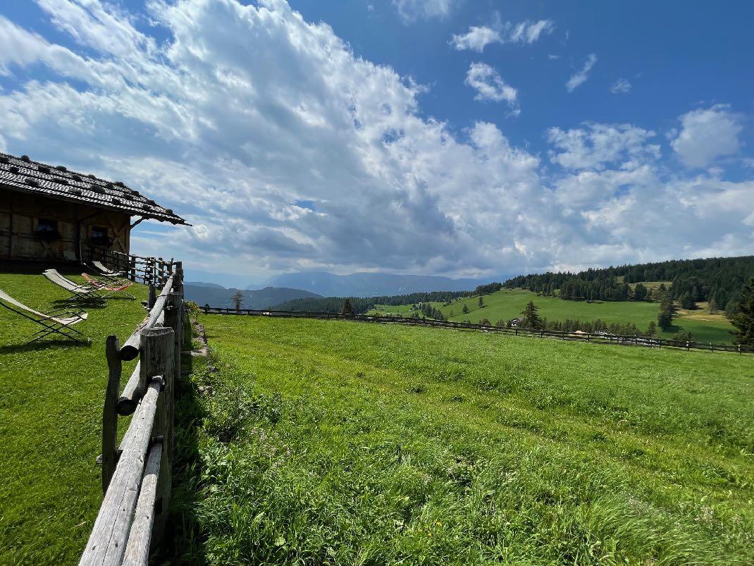
Our fitness levels are challenged again today. The ascent to Hafling is a mixture of gravel and road. Almost 1100 meters of altitude are covered over 12 kilometers. Up to the cappuccino break, we tackle another 300 meters in altitude. On the Saltner high plateau various path conditions await us; concrete, gravel, meadow paths and trails. Mostly downhill in the afternoon. There are also tunnel passages. So make sure you take your lights with you. Over 20 kilometers downhill in total!
www.go-alps.com
Above Höfling we enjoy the best South Tirolean cuisine.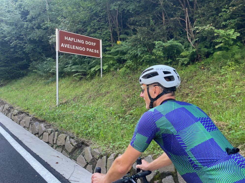


www.go-alps.com
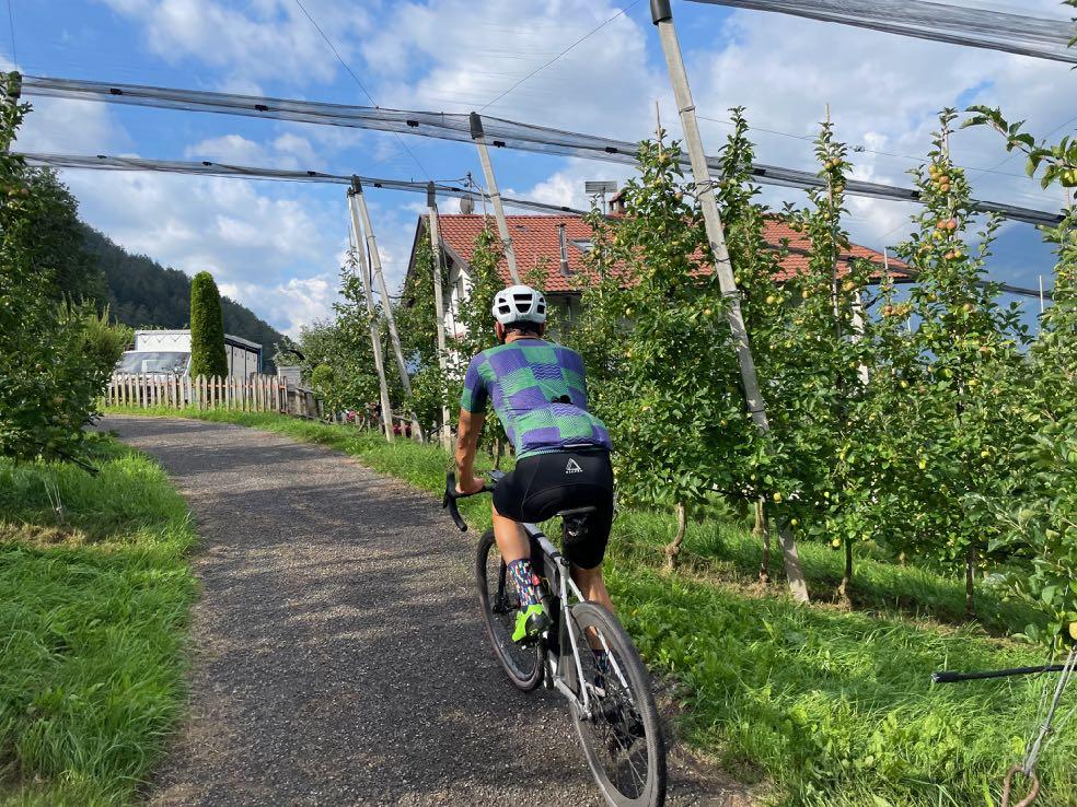
The start of another royal stage. Mostly uphill is the motto in the morning.

Once

www.go-alps.com
again lonely on the way. Hafling the first 1000 meters of altitude are managed.
We quickly gain height.
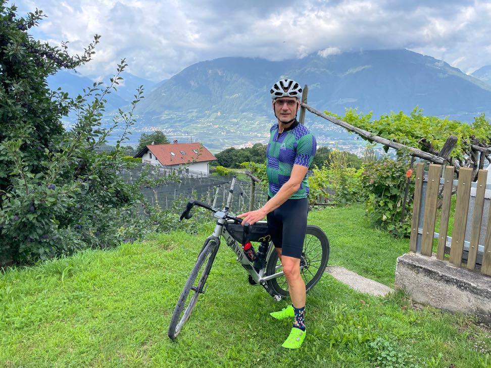
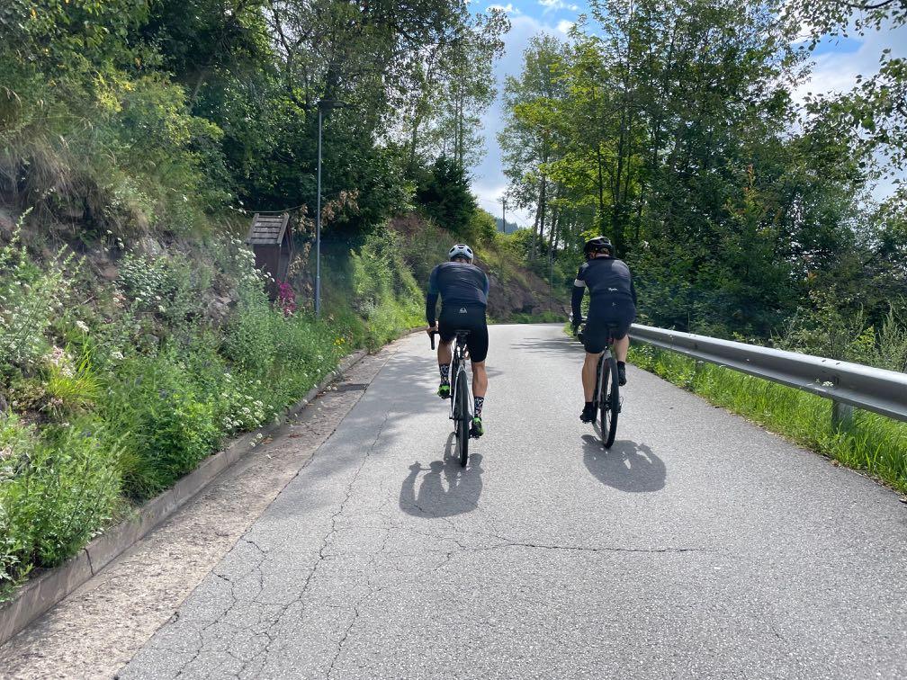

www.go-alps.com
Small asphalt roads without much traffic.
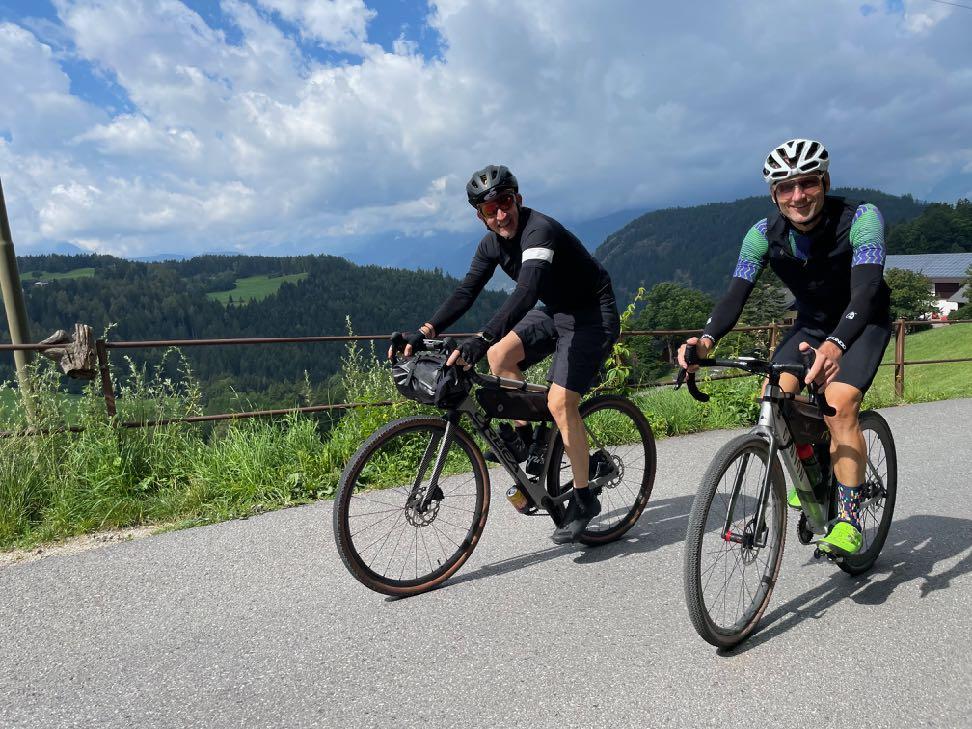

One last steep section to the hut.
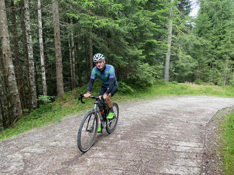
www.go-alps.com


Could there be a better cappuccino break?
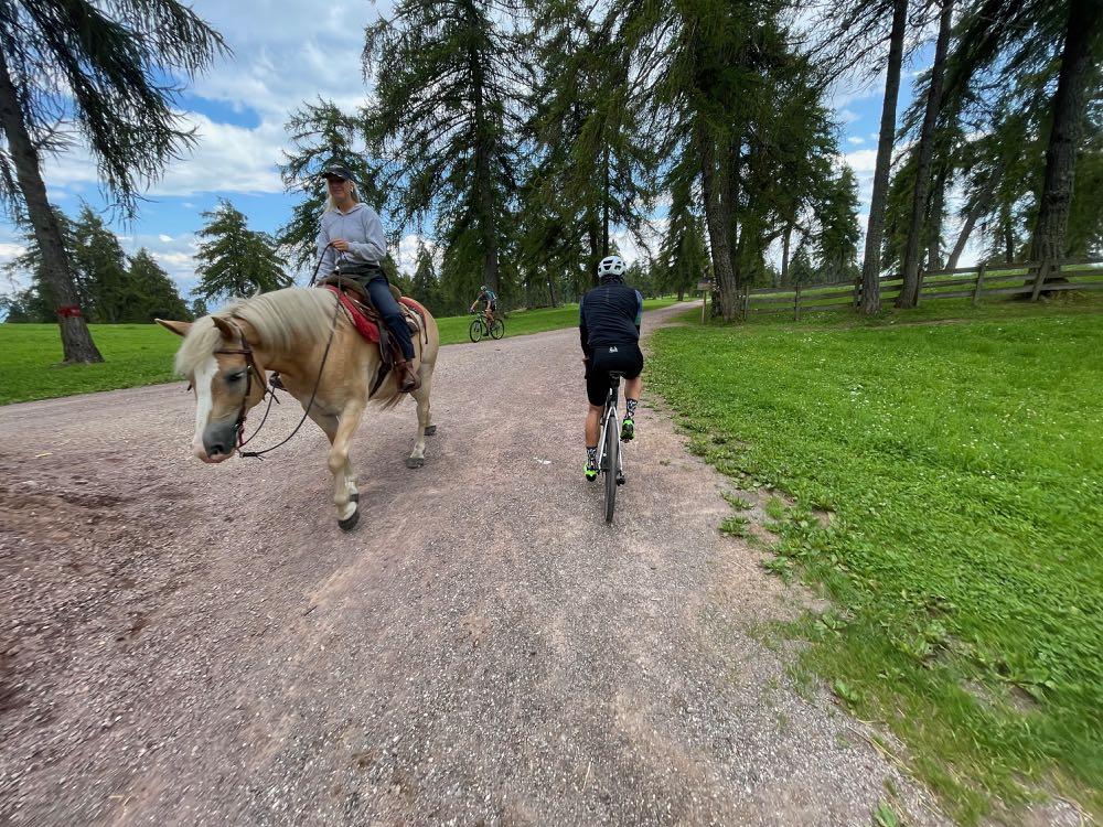

We like to share the paths with the locals.
www.go-alps.com
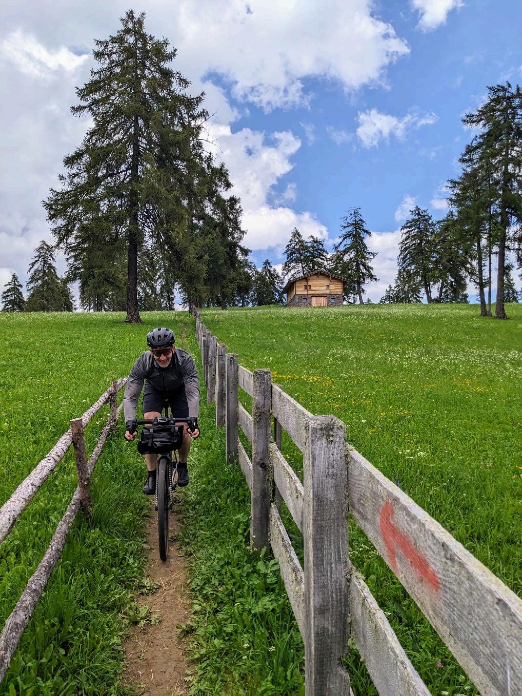


www.go-alps.com
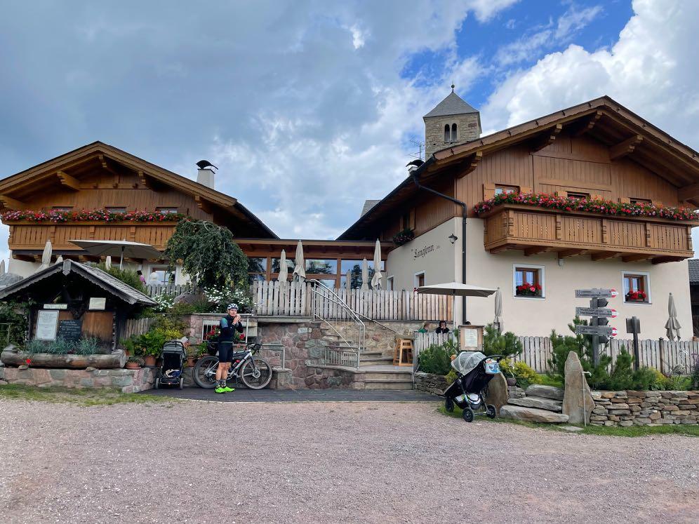
The Salten - a true dream landscape. Our lunch break. Pilgrimage church and tavern in Langfenn.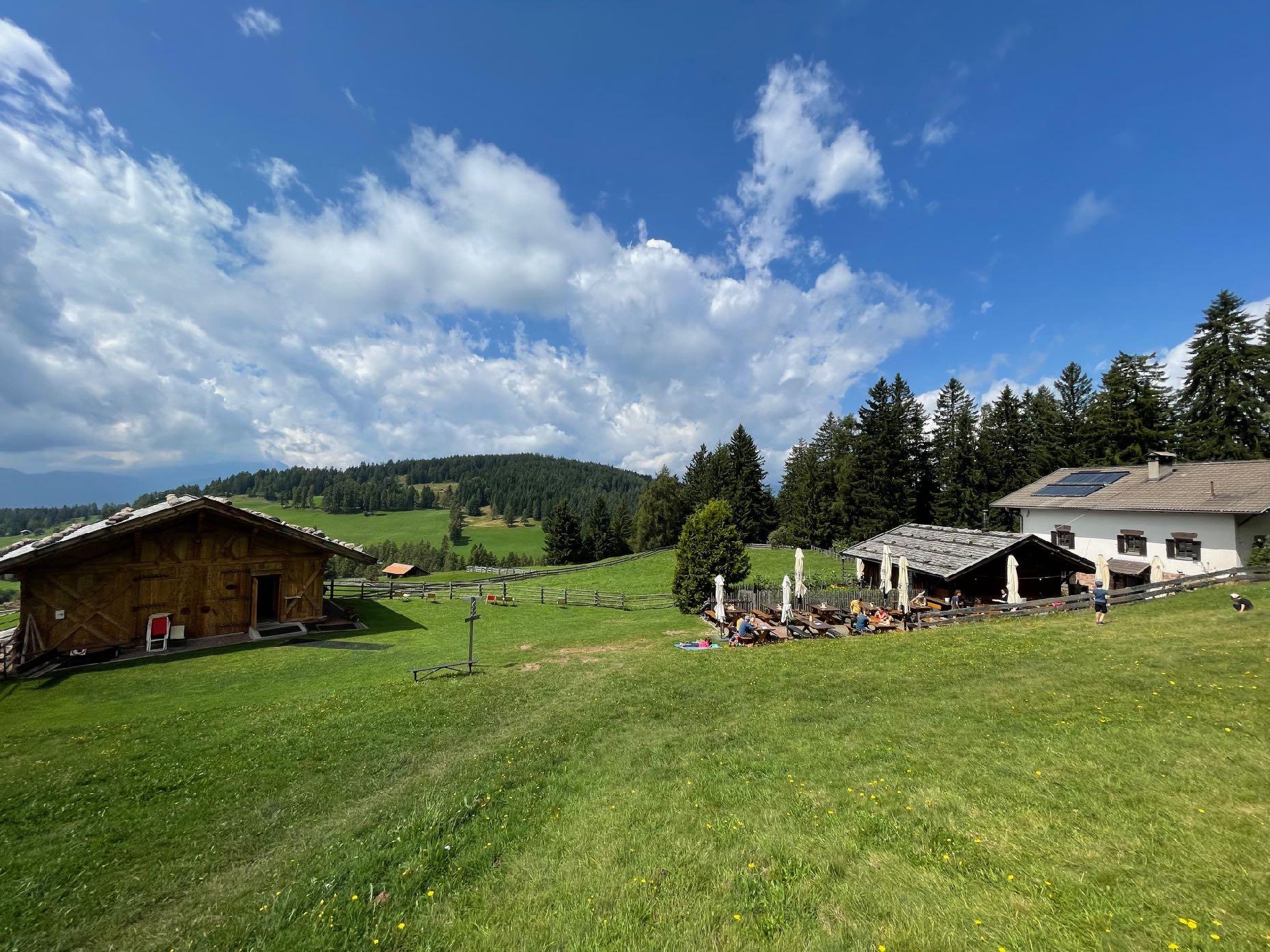
www.go-alps.com

www.go-alps.com
www.go-alps.com
Magnificent view of the Adige Valley
www.go-alps.com
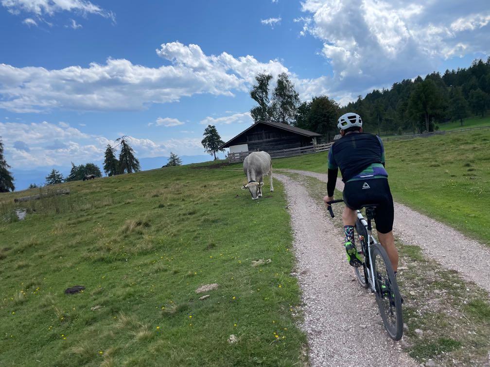

The Salten Ridge is an experience in itself.

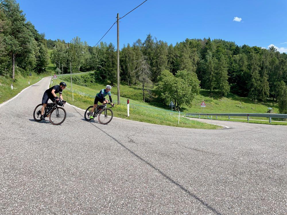
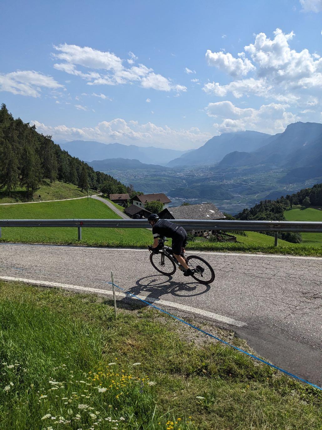
At the end we rush down 1000 meters to Bolzano.
www.go-alps.com


www.go-alps.com
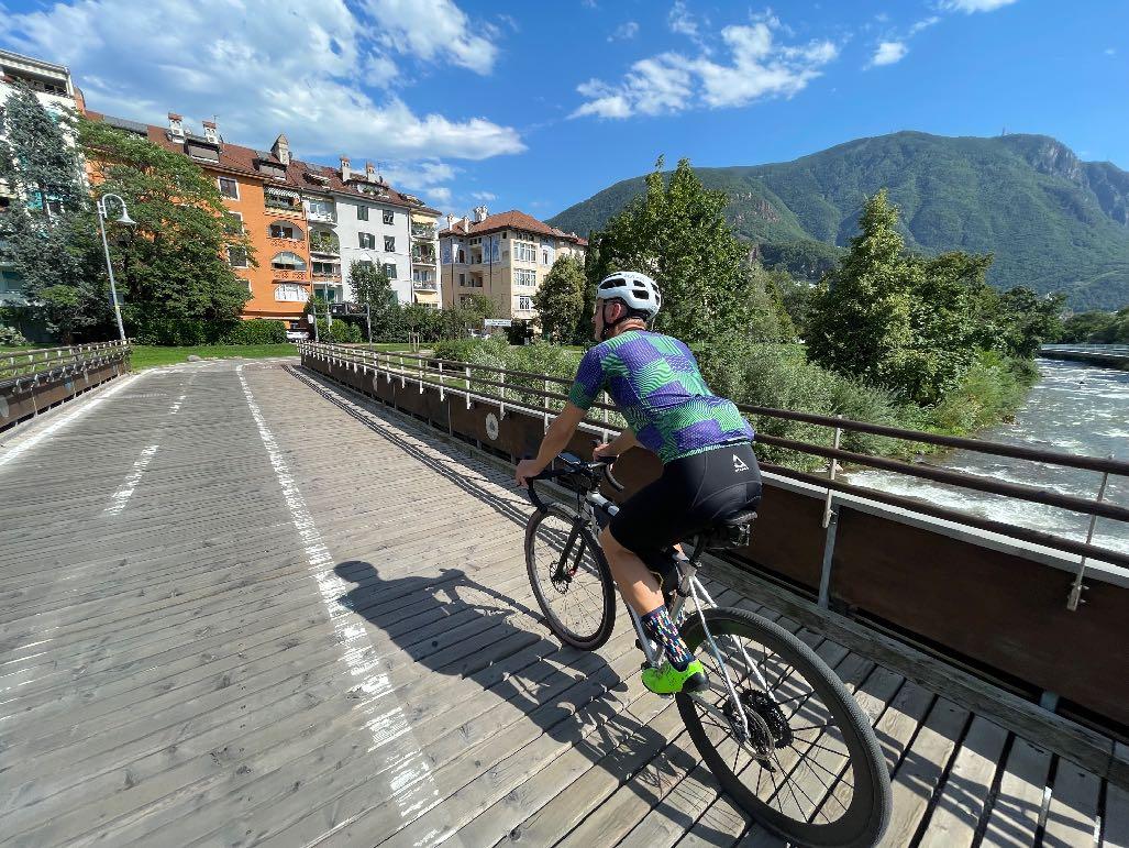
Deep below, the capital of South Tyrol. Cycle paths take you directly into the city center.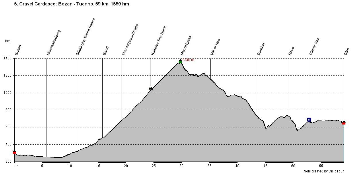
www.go-alps.com

www.go-alps.com
Gravelbike Transalp Lake Garda 5. Stage - 59 km - 1550 m elevation gain from Bolzano to TuennoWe leave the provincial capital of South Tyrol and set our sights on the Mendel Pass. A well-maintained cycle path leads directly from the city up to Lake Kaltern. The gradient on the route of the former railroad line is limited. We cycle traffic-free through apple orchards, vineyards and tunnels. This is where South Tyrol shows its most beautiful and richest side. Old castles and respectable manor houses lie along the way. Trade has made the region rich for centuries. This wealth was also responsible for the Austrian Emperor having an adventurous road project built here almost 150 years ago. The extremely steep mountain flank of the Mendelkamm was considered almost unconquerable at the time. Today, the road is particularly popular among racing cyclists. The average gradient of the 14 kilometre route is 6,5 percent, including ramps of up to 12 percent. In the upper section,
• View of Lake Kaltern
• Mendel Pass
• Great trails in the Val di Non
• Rustic Italy
• The deep blue Lake Cleser
there are 15 numbered hairpin bends to negotiate and the road is literally carved into the rock in places. There are also great views at the top. You feel like you're on an airplane.
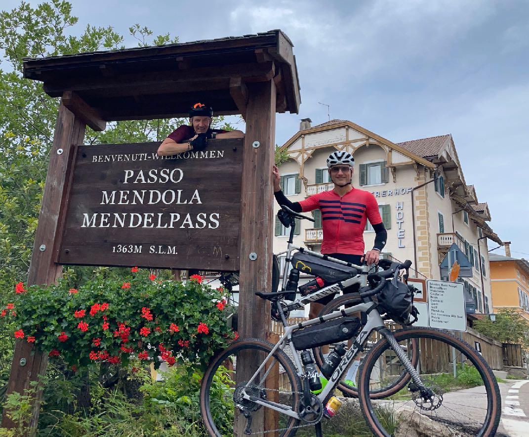
Once at the top, it's not just the souvenir photo at the pass sign that is obligatory for everyone. We say goodbye to South Tyrol. From here on, only Italian is spoken. The descent into the Val di Non has a few surprises in store for us. Trail, gravel, cycle path - it's all there. A typical Italian lunch break awaits us.
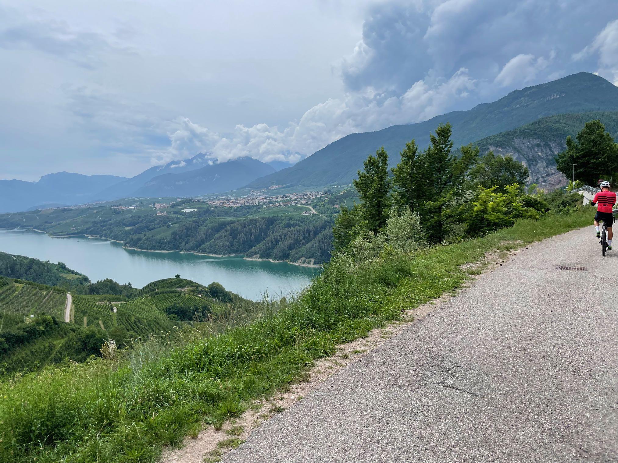
The villages are also reminiscent of deepest Italy. At the end of the day, we reach Lake Cles. The Lago di Cles often shines like an emerald in the afternoon light. Another short evening climb and we reach our destination for the day in Tuenno.
www.go-alps.com

We leave South Tyrol at the Mendel Pass.
The Mendel Pass is calling. We roll along the cycle path. Easy first few kilometers. This is followed by the ascent towards Kaltern, which is also steeper in sections. From Gand the route climbs up to the Mendel Pass. The gradient is easy to ride. A trail, gravel roads and cycle paths lead down into the Val di Non. Always narrow, sometimes with oncoming traffic. From Dambel it goes down into a gorge, very steep with some concrete sections. Very good braking technique is required. Red limestone "scaglia rossa" accompanies us. From Lake Cleser, the motto is "ride with relaxed legs" until Tuenno.
www.go-alps.com


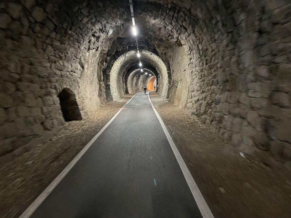
Through lighted tunnels.
www.go-alps.com
Short roll-in on the cycle path.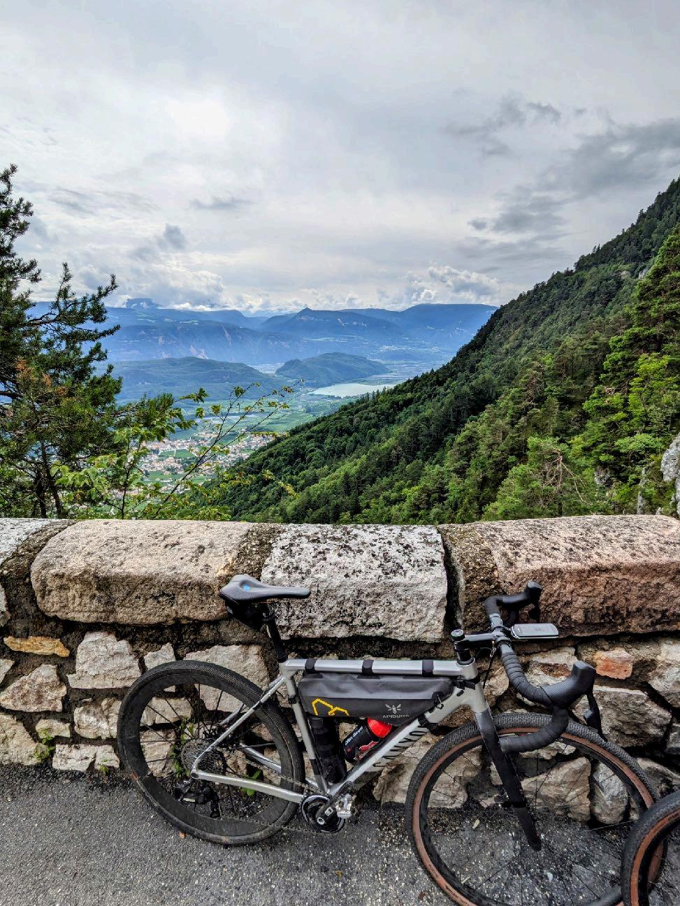

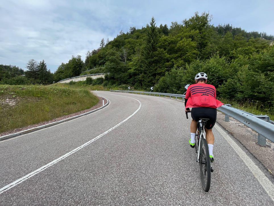

Almost 1000 meters of altitude in one go.
www.go-alps.com
The ascent to the Mendel Pass begins.
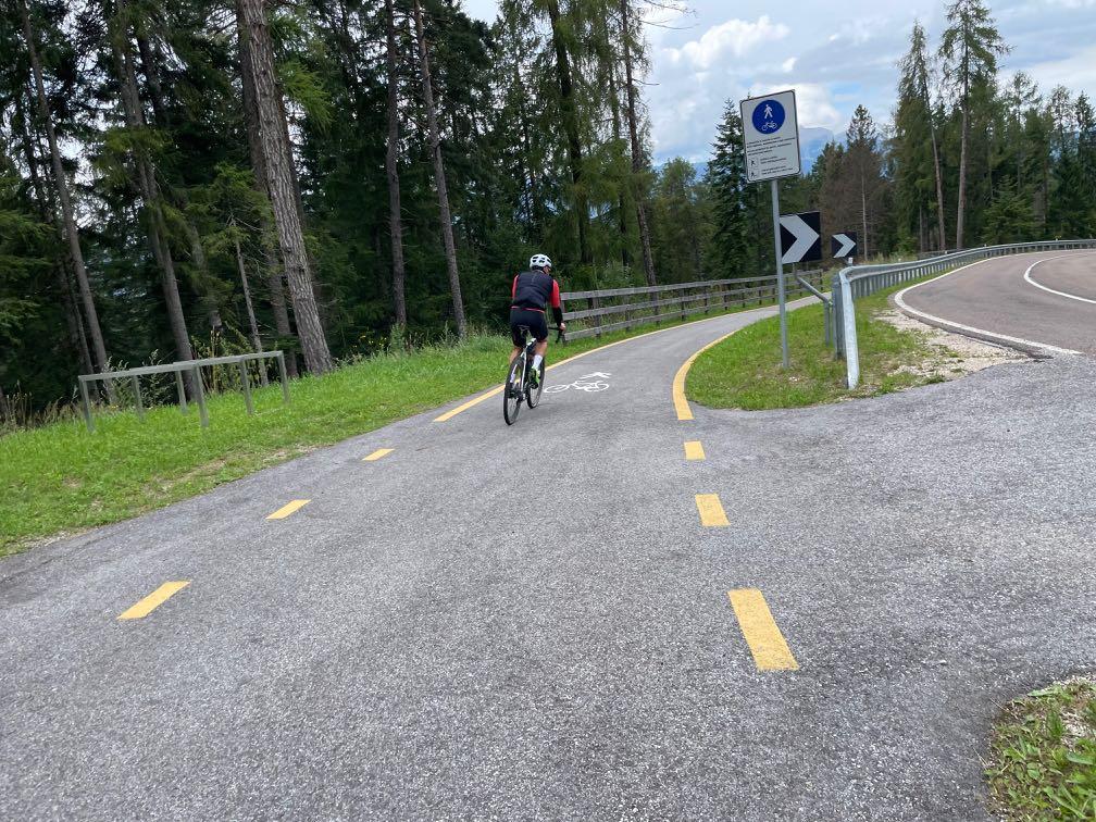
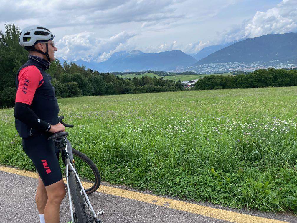

www.go-alps.com
The cycle path into the Val di Non starts at the Mendel Pass. Linger and enjoy.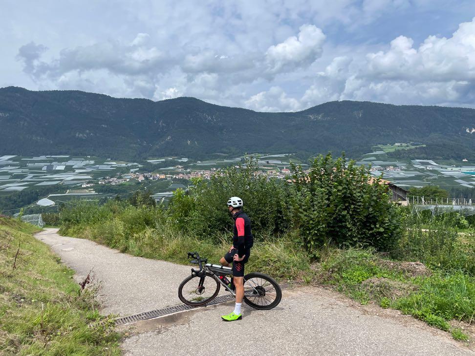


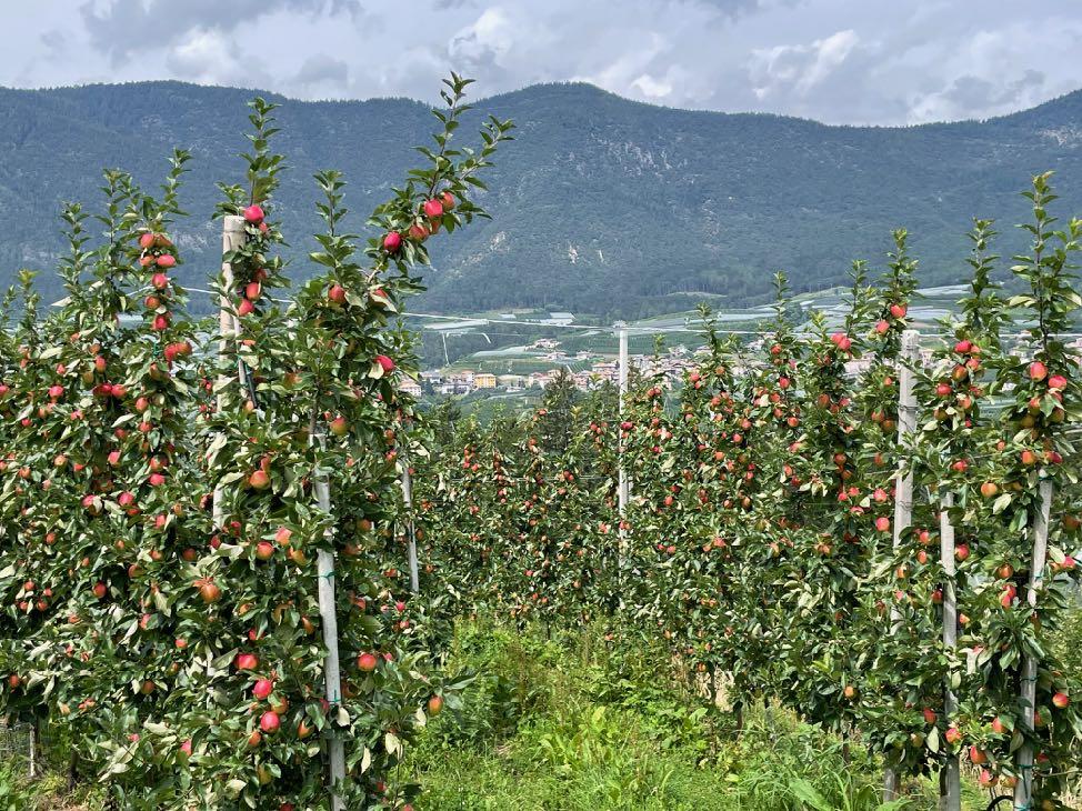
The steep slopes are characterized by apple orchards and vineyards.
www.go-alps.com
Geheimtip Val di Non - das Panorama ist einzigartig
Watch out! The descent is very, very steep.


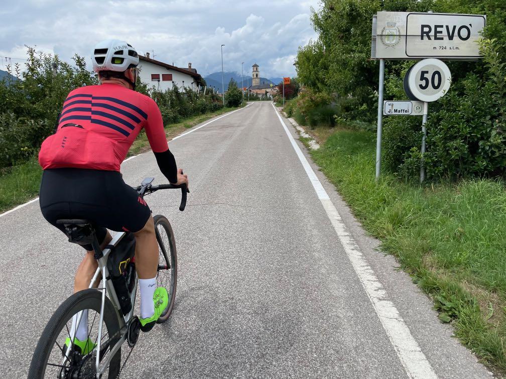
Italy envelops us.
www.go-alps.com


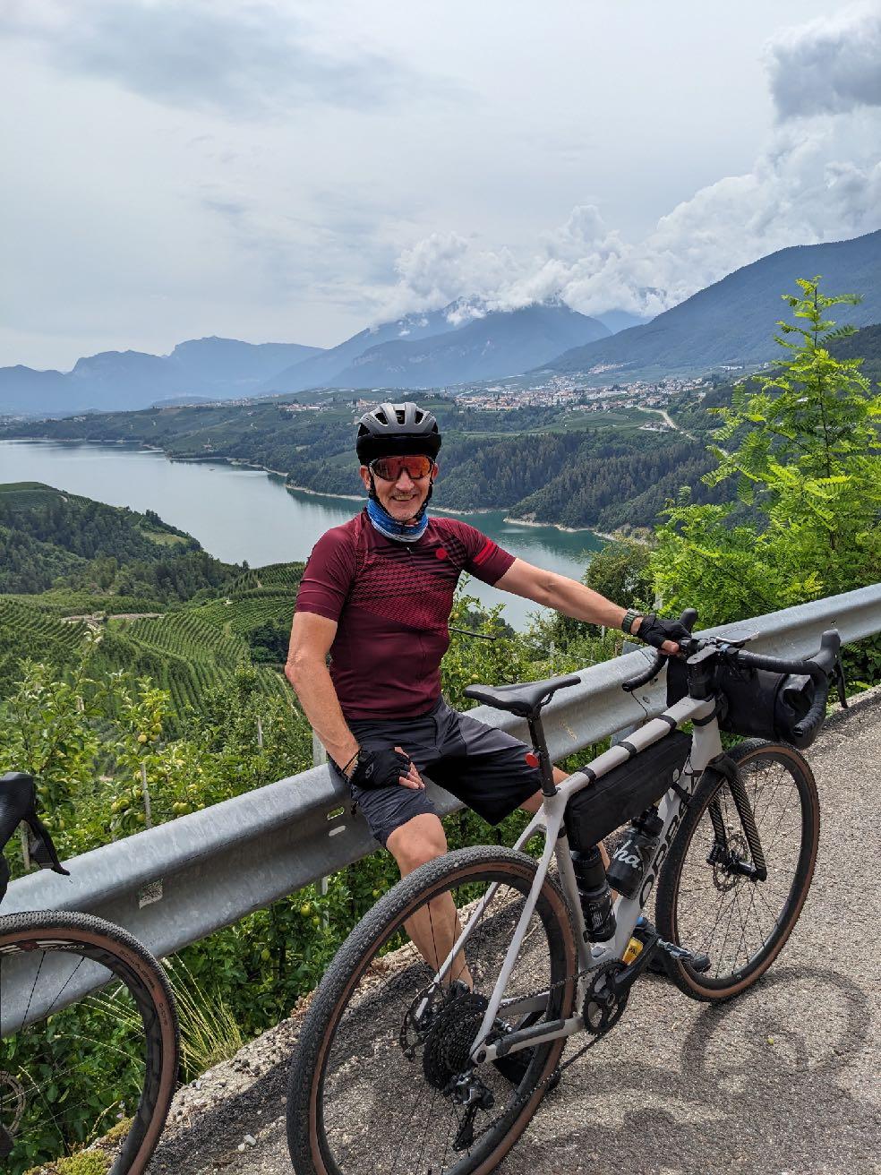 Wonderful play of colors on the red limestone.
View of the lake shortly before Cles.
www.go-alps.com

www.go-alps.com
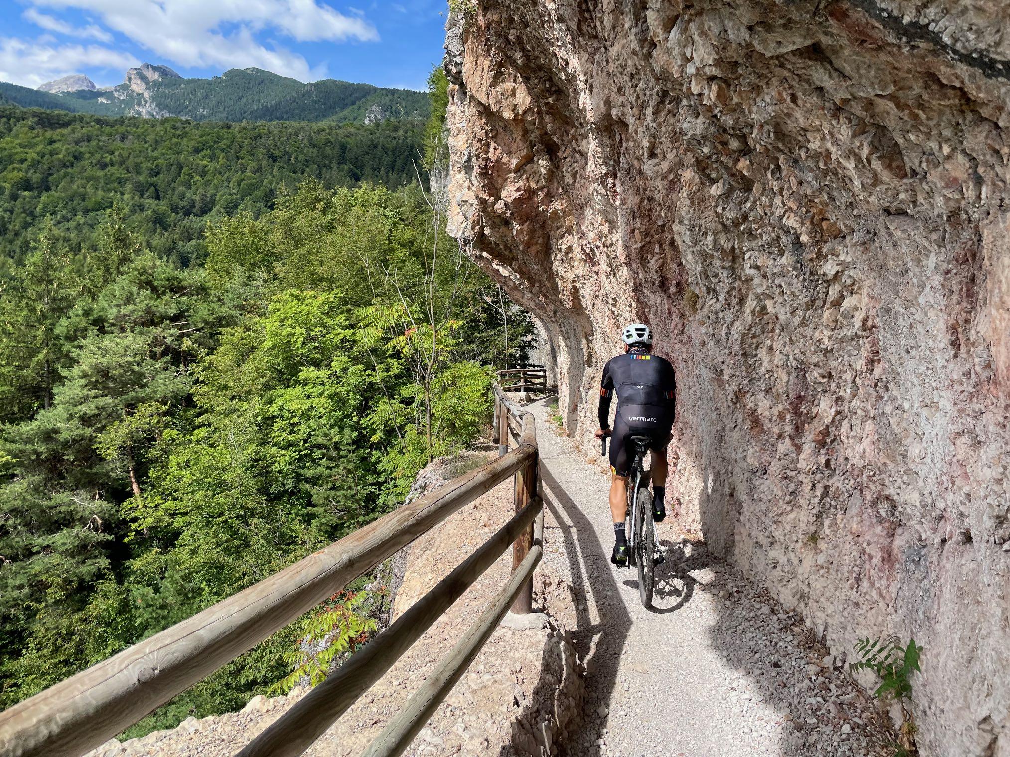
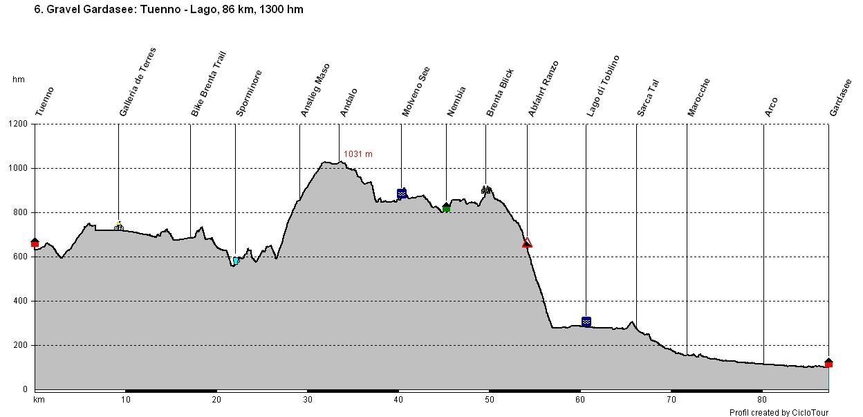
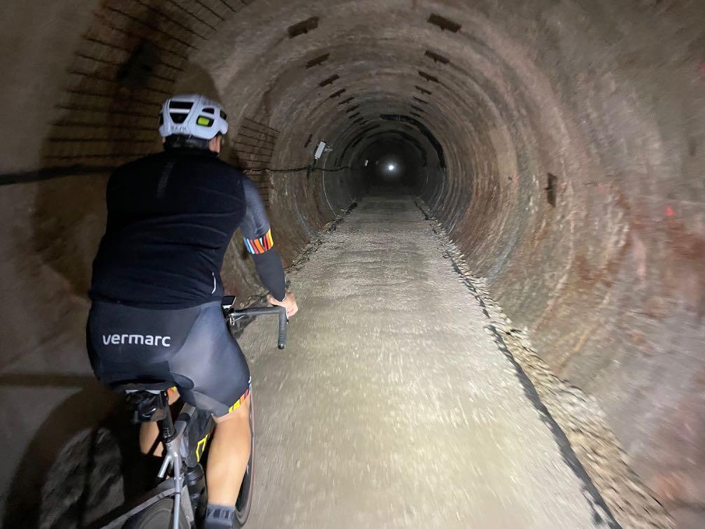
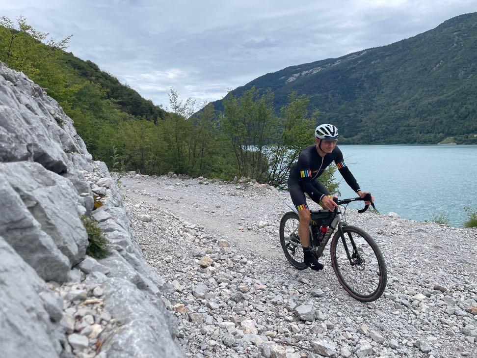
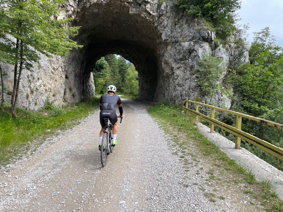
Gravelbike Transalp Lake Garda 6. stage - 86 km - 1300 m elevation gain from Tuenno to Lake GardaOff we go to the grand finale. Lake Garda is calling! The elevation profile tells every expert: today will be a long and tough gravel day. Almost another 90 kilometers need to be conquered. So we start early and begin spectacularly. The "Galleria de Terres" turns out to be a gravel bike highlight of a special kind. A three-kilometre-long water tunnel runs gently downhill through the mountain. Don't forget a light here! The adventurous ride spits us out directly at another highlight. The Brenta Bike Trail swings largely along a contour line for 20 kilometers in the forest on the edge of the Val di Non valley. Great views open up again and again. The trail is also pure enjoyment for experienced gravel bikers. At the end, it gets partly very technical. From Sporminore onwards, our tires feel asphalt again. We quickly reach Lago di Molveno via Andalo. First along Lago di Molveno, then the final climb towards Ranzo. From here, the mountain giants of the Brenta Dolomites are once again close enough to touch. A few kilometers
• Galleria de Terres
• Brenta Bike Trail
• Brenta Dolomites
• Lake Molveno
• Arriving at Lake Garda
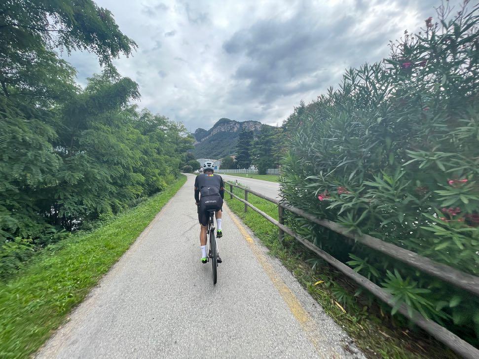
later, we peer down into the Sarca Valley for the first time. Isn't Lake Garda just behind? A final downhill takes us to Lago di Toblino. The castle is kitschy beautiful. From now on, it's time to cover more ground. In the Marocche we can still take in one or two short trails. We then quickly reach the climbing rocks just before Arco and roll into the bustling life of the little town. After the mountain solitude of the last few days, this is a real culture shock for some. The obligatory ice cream break in Arco's piazza is a must. We enjoy the hustle and bustle on the square and in the street cafés. But it doesn't help, we have to get back on the saddle. After six kilometers along the Sarca, it's time to say: Lake Garda, we're here! We pop the corks and celebrate a brilliant gravel bike Transalp in the evening.
www.go-alps.com
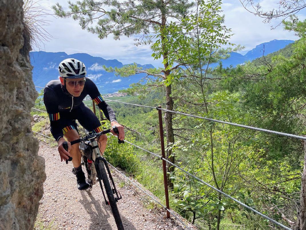

Watch out on the narrow Brenta Bike Trail!
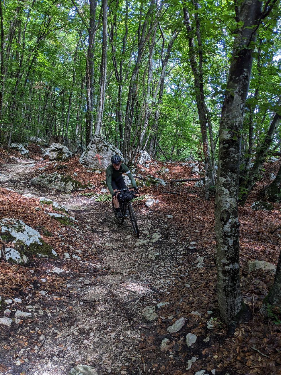
Definitely not just a relaxed roll-out to the Lago. Today, man and machine are put to the test once again. We start at the Galleria de Torres. Be sure to take your lights with you! The Brenta Bike Trail is partly flowy, but also really rough in some parts. At the end, you will have to push your bike in one or two passages. There are always steep up- and downhills. Very technical at the end. The descent to Molveno also demands concentration. The first loose Lake Garda gravel awaits us at Lake Molveno. Continue off-road until Ranzo. The descent to Lago di Toblino is very long, steep and narrow on alternating concrete and asphalt paths. Climbers on the steep rocks and hot brake disks force us to take breaks. From the Sarca Valley onwards, the most difficult sections are mastered and now we can look forward to the cool water. We pedal the last few kilometers on our bikes to the lake. The GravelTransalp Lake Garda is mastered!
www.go-alps.com

Start into the last gravel day.
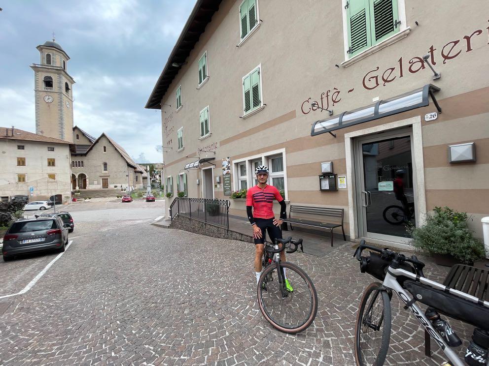

A day full of highlights lies ahead of us.

www.go-alps.com

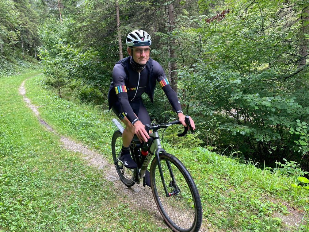

www.go-alps.com
Approach to the Galeria de Terres. Our gravel bikes roll through this tunnel.

Almost always on the same level, initially gently downhill.
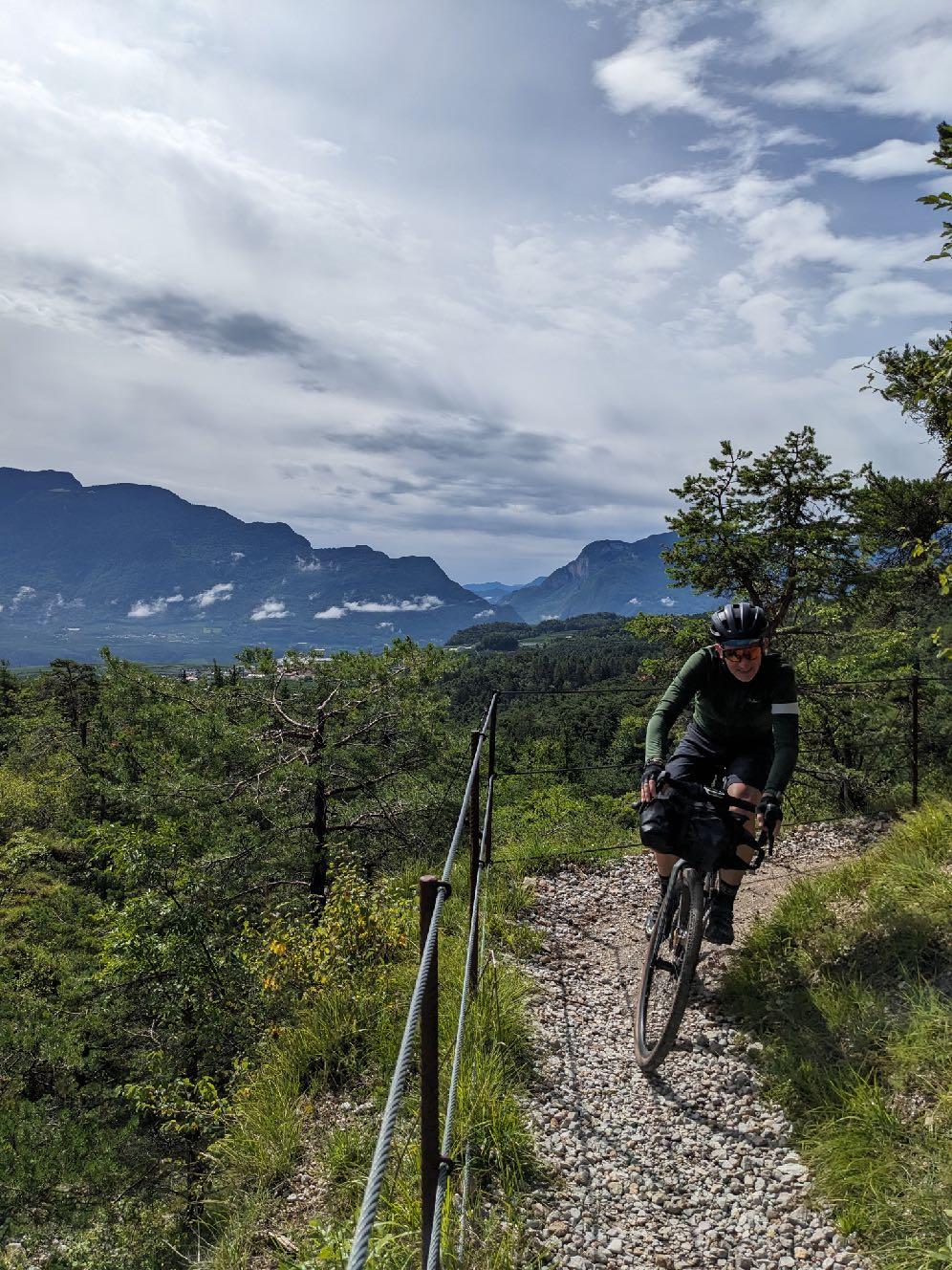
 Now the Brent Bike Trail begins.

At the end uphill, and technically very demanding.

www.go-alps.com
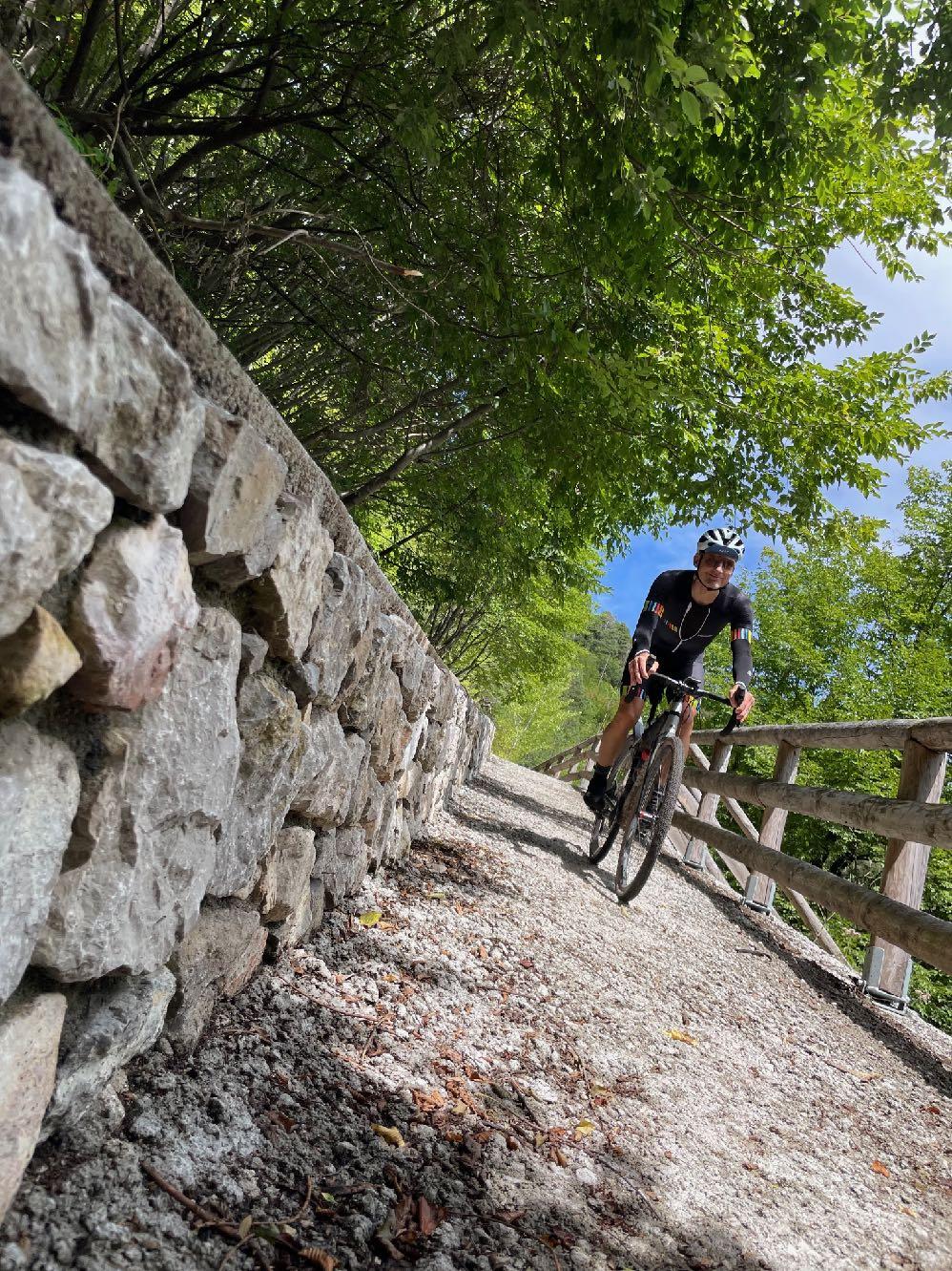
Passing Lake Molveno.


www.go-alps.com
View back to the Sarca Valley and the Brenta Dolomites. Spectacular route near Ranzo.
Descent
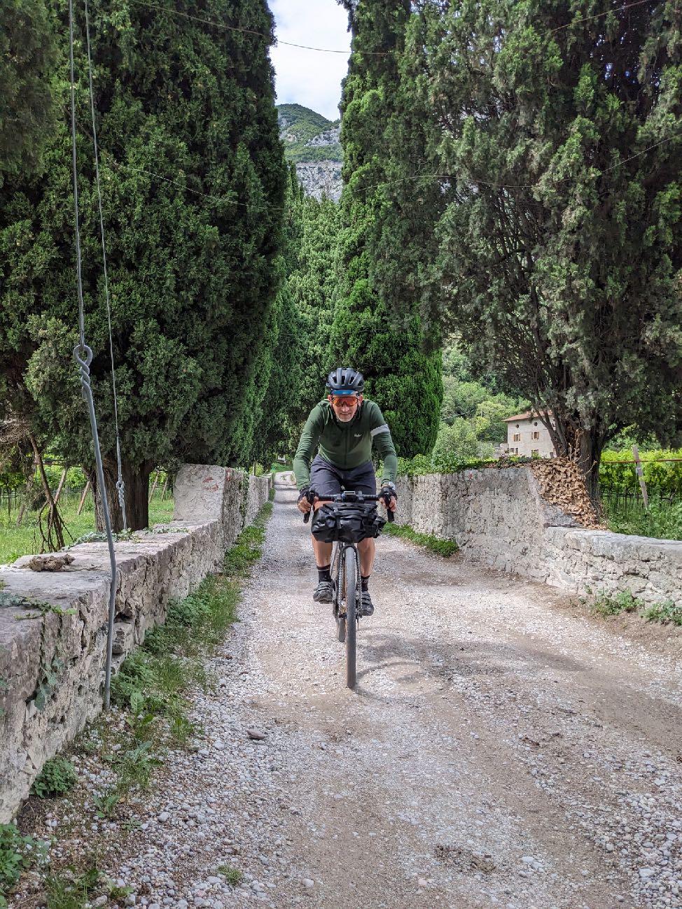

Shortly before Arco, you can already smell

www.go-alps.com
Lake Garda. to the idyllic Lago di Toblino.


www.go-alps.com
Mandatory photo stop: the castle of Arco. The last kilometer along the Sarca.
Destination reached, we are at Lake Garda.
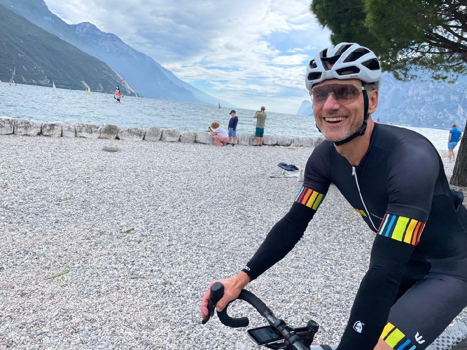


We made it! The Alps are conquered.
www.go-alps.com
6 Stages - 460 km - 9050 m elevation gain
Level 3

The new way of biking
Design, texts and photos:
Sascha Müller, Thomas Bauer


www.go-alps.com