1 minute read
Measuring Plate Motion

by AudioLearn

Figure 19.
• Large mountain ranges – these are continent to continent convergences. There is never any subduction here because the crust is not dense enough. Expect metamorphic rocks here because of the pressure involved. There are no volcanoes in these regions because the crust is too thick. Large earthquakes are probable.
Advertisement
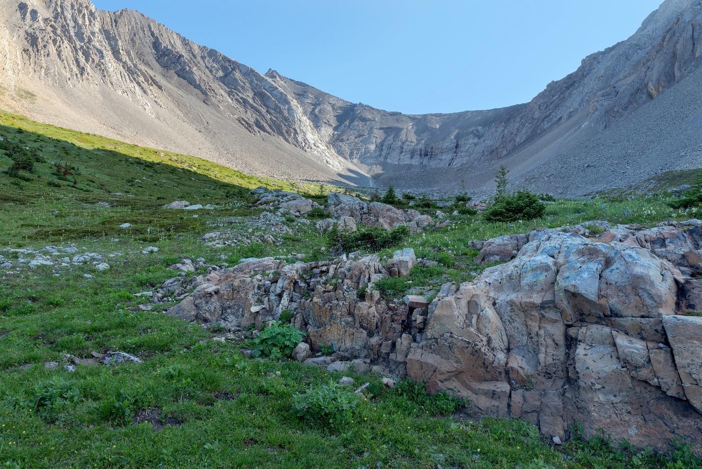
The Appalachians are leftover mountains from when North America crashed into
Eurasia.
• Massive Earthquakes – most of the massive earthquakes on earth are created by transform boundaries on continents. This explains why the worst earthquakes in
North America occur in places like the San Andreas Faultline.
MEASURING PLATE MOTION
It is estimated that a supercontinent like Pangea gets made and then breaks up every 500 million years. We can measure the movement of the plates to get an idea of where they are heading. This measuring system is called geodetic plate motion detection or geodesy. GPS systems above the earth are very stable and can detect the earth's
movement. The data is becoming increasingly accurate over time due to the satellites in space.
Geodesy has determined that there is plate movement within plates. The Tibetan Plateau region and the mountains in the American West are all places where there are intracontinental movements within the plates themselves. Several microplates have been found using GPS.
Present movement of the plates can be detected using seismic, geometric, and paleomagnetic concepts. Paleomagnetic concepts are those recently discussed, where the ocean floor can be seen as having zebra stripes various magnetic reversals. Magnetometers used initially to detect submarines can find these signatures from the air. The last reversal was about 780,000 years ago.
Geometric methodology can give us an idea of the spreading direction of the earth's crust by looking at transform faults in the ocean. You'll see treads on a spreading ridge that show the direction of the spread. Once you know the speed and direction of the spreading areas, you can determine that these match with the known GPS measurements we currently know about. Seismology can also look at the orientation of the different fault lines around the earth to help in parts of the world less easily mapped in other ways.