1 minute read
Earth Flows

by AudioLearn

water patterns in a given area already at risk. The GIS or geographic information system technology uses remote sensing and computer analysis to predict high-risk areas for landslides.
Existing landslides are photographed after the fact and combined with before the fact pictures in order to glean information on how to better predict future slides. The geomorphology of the area is also analyzed. This combination is perhaps the best way to gather real data that can be useful in prediction analysis.
Advertisement
EARTH FLOWS
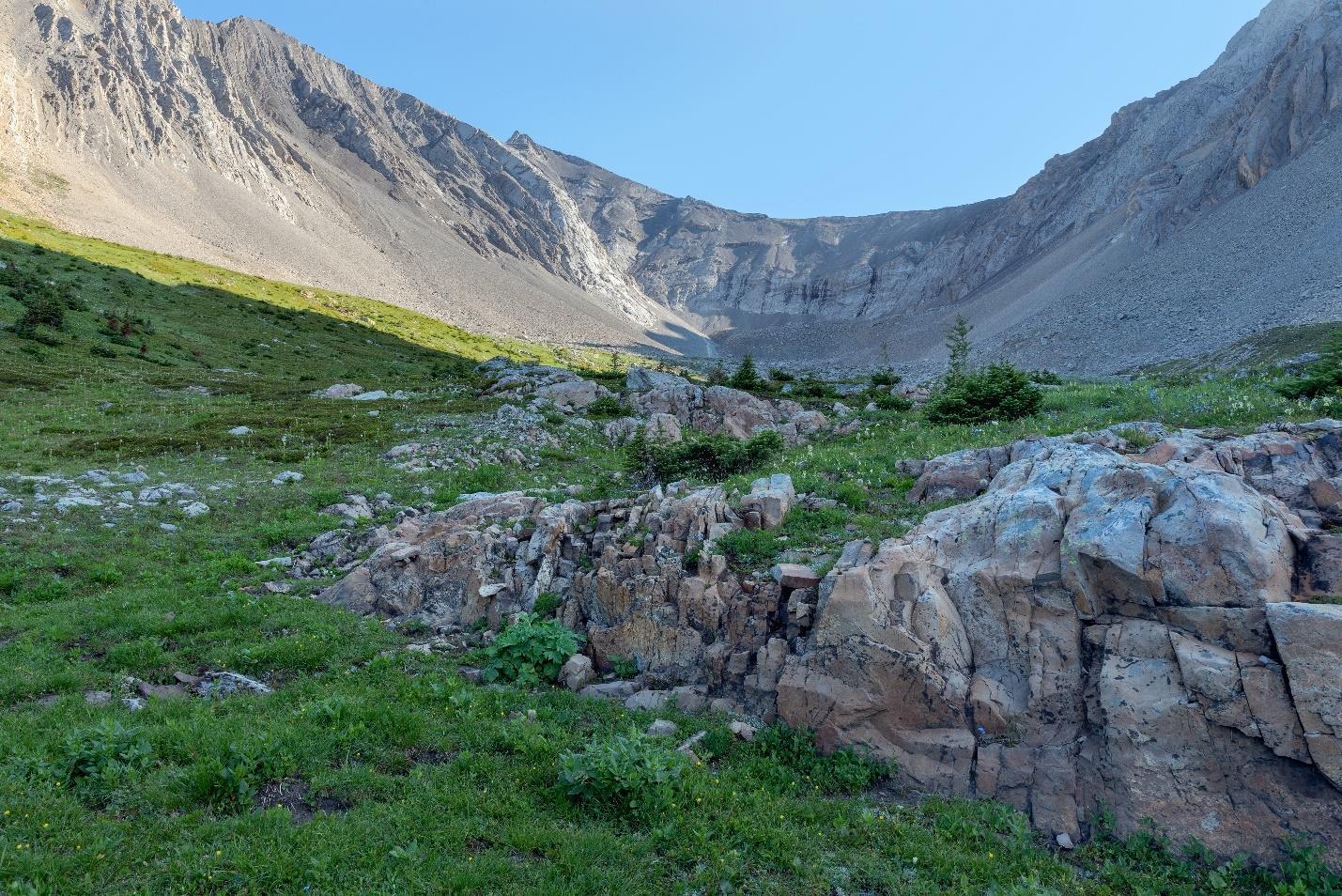
Earth flows are unique by the fact that they are very heavy with water and mostly fine sediment. They are denser than you'd think – rivaling traditional rock landslides. Even so, they have such a high liquid content that they will flow in ways similar to pure water. Speeds can be as high as 10 meters per second and can involve very large volumes of earth and water. There is evidence of gigantic flows like this in prehistoric times. The sediment is about half of the volume; water is the other half.
Large mountainous flows can happen after a rainy season following a forest fire. Steep slopes of greater than 25 degrees and a lot of soil or other fine sediment add up to a situation where things can get deadly. In Japan, these flows are so large they are called Yama tsunami, which means a mountain tsunami.
Often the front of the flow or the head of the flow contains the largest boulders. This is the flow surge that may also contain logs or other vegetation. Behind the head is smaller pieces of silt, sand, clay-like debris. The smaller particles have more fluid pressure in them so they are heaver as a mass and enhance the flow of the entire debris along its path. The flow will happen in pulses or surges with a head, body, and tail for each surge.
Lahars are special flows that are related to volcanic activity. An eruption itself can cause the lahar or loose material from the flank of a volcano to mix with water. This forms a slurry of black volcanic rock that can flow or creep down to lower elevations.