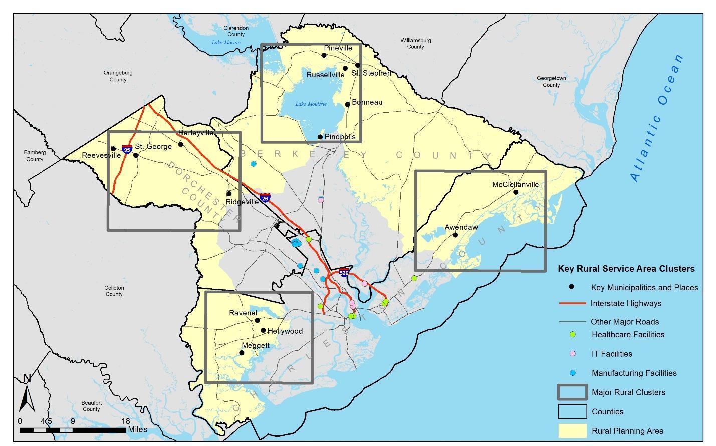
RURAL SERVICE AREA AND EMPLOYMENT/TRAINING PROFILES Based on the needs assessment and additional input received as part of Stakeholder Meetings, key rural areas were mapped for employment, education, and training. Rural service area profiles were then developed to more closely understand each rural population area and potential training and employment needs and opportunities.
NODES AND CORRIDORS DEVELOPMENT Data collected through the needs assessment, and through input obtained from stakeholders during Stakeholder Meeting #1 on training, education, and job centers was used to develop a heat map identifying major nodes and corridors within the rural areas in the region and major jobs and training to be served. The heat map of nodes and corridors in the region are shown below. The heat map illustrates tri-county employer locations and densities, major colleges and training centers, major adult education centers, and private training locations.
0 to 1 per square mile
< 38 per square mile
RURAL WORKFORCE TRANSPORTATION STUDY â&#x20AC;&#x201C; EXECUTIVE SUMMARY March 2020
PAGE 3