1 minute read
The Waterways


Advertisement
CANE NOLICHUCKY
NORTH TOE
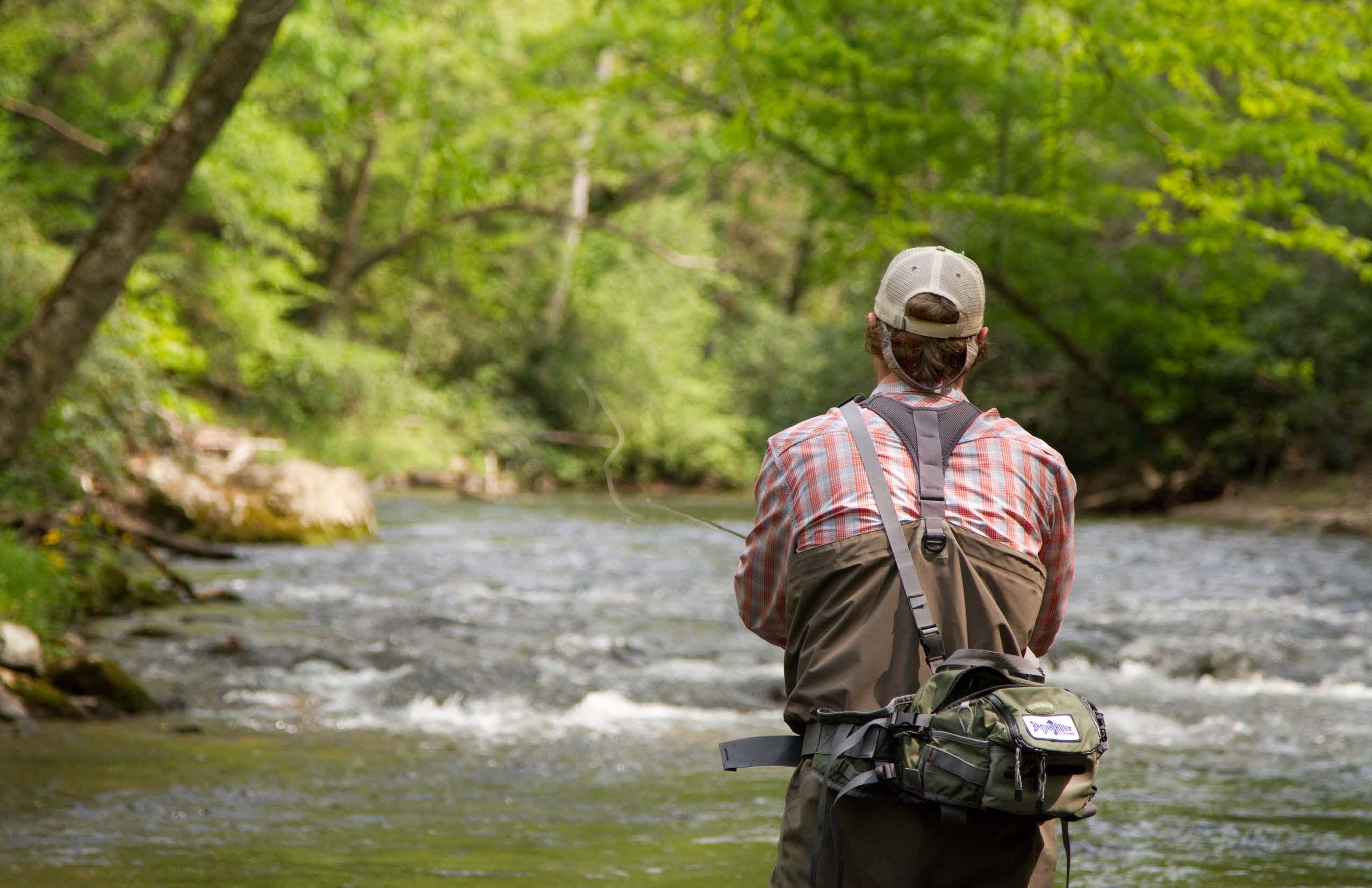
TheNolichucky
Named for Na’na-tlu gun’yi (‘Spruce-Tree Place’), a Cherokee village that once stood on its banks, the Nolichucky River begins its 115-mile journey through western North Carolina and eastern Tennessee right here at Riversong.
At the property’s northeastern corner, Cane River (which passes placidly along the property’s south and east edges) converges with North Toe River to form the headwaters of the Nolichucky. Venturing north a ways and then west through the Blue Ridge Mountains, the Nolichucky traverses
Pisgah and Cherokee National Forests before spilling into Douglas Lake about 40 miles east of Knoxville, TN.
Cane River »
Cane River
From its origins on the western slopes of Mount Mitchell—the highest peak in the Eastern U.S.—
Cane River meanders northward through the communities of
Pensacola, Burnsville, Cane River, Ramseytown and Huntdale until it joins the North Toe to form the Nolichucky.


« N olic huc ky Rive r
Cane River »
The confluence
of the Cane and North Toe Rivers on the property’s NE corner forms the Nolichucky. Sometimes roiling and powerful, other times more serene, this isolated river is flanked by one of North Carolina’s steepest, most spectacular gorges as it winds through Pisgah and Cherokee National Forests.
M c K i n n e y B r a n c h R o a d « N orth To e R iver
The North Toe ,
a large stream in North Carolina’s High Country, originates between Bald and Sugar Mountains (‘Sugar Gap’) in Avery County. Its original name, Estatoe (pronounced es-tā-tō)— a Native American name for the trade route leading down from North Carolina’s mountains—proved a little too tricky for many folks to pronounce, so it was shortened over the years to Toe.