BROWN, RICHARDSON + ROWE
LANDSCAPE ARCHITECTS AND PLANNERS


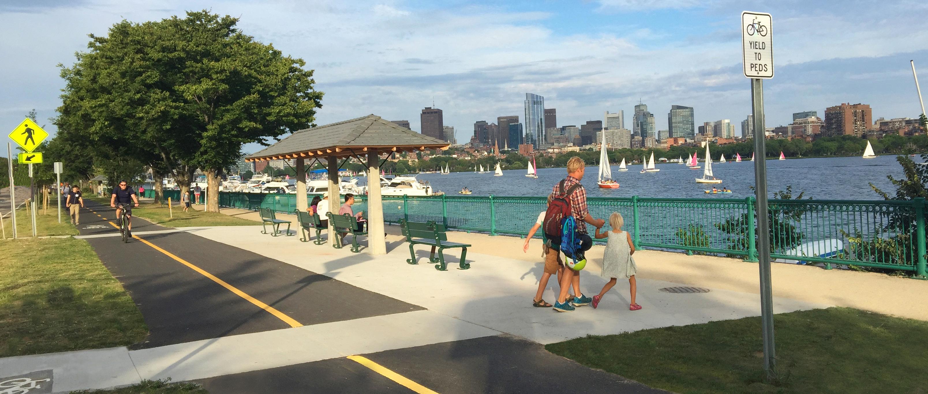
BRR is a small office with a big reach. Our practice of planners and landscape architects works to deliver sustainable, accessible, and lasting projects that provide vital green spaces, cohesive transportation networks, and enriching places to play and gather for people across the region. We lead multi-disciplinary teams through technically complex public projects, from design to construction, that are built on time and within budget.
Our deep experience working closely with federal, state, and municipal partners includes efforts at diverse scales, from waterfront master planning and large infrastructure projects to urban brownfield redevelopment sites and regional transportation projects to parks, play areas, and gathering spaces. We are skilled at navigating complex permitting requirements, clearly communicating ideas, and running engaging community processes that facilitate successful implementation.
Over the last 40+ years, we have amassed significant experience, established a respected position within the planning and landscape architecture industry, and formed a reputation for completing some of the region’s most substantial landscape projects. Our practice balances the expertise of our original partners with a new generation of leaders. We continue to enjoy tackling significant challenges with creative energy.

 Logan Airport East Boston, MA
image © Alex MacLean

• Boston Housing Authority
• Boston Parks & Recreation Department
• Boston Planning & Development Agency

• Boston Redevelopment Authority
• Cambridge Housing Authority
• City of Boston Public Facilities Department
• City of Boston Transportation Department
• DCAMM
• Department of Conservation and Recreation
• EDIC
• Executive Office of Energy and Environmental Affairs
• Executive Office of Labor and Workforce Development
• MassDOT
• Massachusetts Bay Transportation Authority
• Massachusetts Convention Center Authority
• Massachusetts Water Resources Authority
• Massport
• National Park Service
• Somerville Housing Authority
• The Department of the Labor
• ADD Inc.
• Albert, Righter & Tittmann
• Arch 33
• Arrowstreet
• Bargmann Hendrie + Archetype
• BWA Architecture
• CambridgeSeven
• Dimella Shaffer
• Elkus | Manfredi
• Fennick McCredie
• Goody Clancy
• GUND Partnership
• Imai Keller Moore
• inFORM Studio
• Leers Weinzapfel Associates
• Margulies Perruzzi
• McGinley Kalsow & Associates
• PCA
• PDR
• SLAM
• Spencer, Sullivan & Vogt
• The Architectural Team
• The Principle Group
• Utile
• AECOM
• CDM Smith
• CDR Maguire
• Dewberry
• Epsilon
• GPI
• Hazen and Sawyer
• HDR
• HNTB
• Horsley Witten Group
• Jacobs
• Kleinfelder
• LeMessurier
• Louis Berger
• Nitsch Engineering
• Pare Corporation
• RMF Engineering
• Samiotes Consulting
• Stantec
• STV
• Tetra Tech
• VHB
• Weston & Sampson
• WSP

BOSTON HARBOR, MA
TEAM: Century/Weston & Sampson, Bechtel/Parsons Brinckerhoff, and Brown, Richardson + Rowe
CLIENT: MassDOT
SIZE: 105 Acres

PROJECT TIMELINE: 1991-2006
AWARDS: BSLA Honor Award
image ©chris barnes image © Alex MacLeanTwenty-five years ago, Spectacle Island was a smoldering open dump with contaminants leaching into Boston Harbor. Today, it is a popular 105 acre park with extensive trails, 360 degree views of the city and islands, and a swimming beach. A federal mandate to clean up the harbor and the state’s need to dispose of 3.5 million cubic yards of spoils from the Big Dig’s Third Harbor Island Tunnel excavation, led to the island’s rebirth as a new gateway to the 34 islands in the Boston Harbor Islands National Park.
The project team properly capped the landfill, installed a contaminant dike, and armored the exposed edges with stone rip rap to solve two problems at once – creation of a place to dump the hazardous tunnel spoils and the beginning of a halt on the pollution of the harbor.
The entire island had to be prepared with imported loam over the capped land for planting. All planting loam was manufactured from on-island glacial till mixed with coarse sand and organic compost. BRR’s understanding of appropriate coastal planting, large-scale site drainage, and the site’s unique planting medium requirements, ensured that today’s abundant tree and shrub planting were a success.
 image ©chris barnes
LYNN, MA
TEAM: Brown, Richardson + Rowe and The Woods Hole Group
CLIENT: EOEEA, DCR, and the City of Lynn

SIZE: 305 Acres
PROJECT TIMELINE: 2016-2019
Downtown Lynn is increasingly disconnected from its waterfront. Significant coastal erosion and seawall deterioration threaten future development and open space potential. BRR worked closely with local residents, groups, and City and State representatives to reimagine the waterfront area. Design guidelines for the promenade and waterfront spaces will ensure that a cohesive waterfront is delivered. Site-specific storm surge projections informed the proposed resiliency measures, such as raising the height of the coastal edge and using a combination of hard edge and soft edge treatments like living shorelines.
The goal was to establish Open Space Design Guidelines for high quality open spaces and a continuous and accessible waterfront promenade. This Master Plan supports the future development of coherent neighborhoods, complete streets, and connections to downtown, all while protecting future neighborhoods from rising tides and coastal erosion.

TEAM: Stantec, Brown, Richardson + Rowe, and Wetlands & Wildlife


CLIENT: MassDOT
SIZE: 50 Acres
PROJECT TIMELINE: 2007-2016
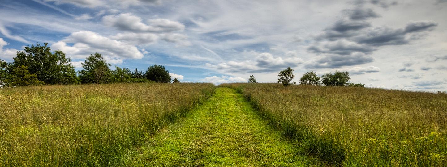
BRR prepared the master plan for the restoration of the ecological functions for 50 acres of land that were degraded by highway interchange construction in the 1960s. The abandoned roadways and ramps will be removed and replaced by new wetlands, ponds, an island, pastures, wildlife and rare species habitat.
New plants will be native and compatible with their surroundings. We are collaborating with other team members on a design that will buffer highway noise and reduce light spill from the highway. Restoring some of the former drainage patterns in this Area of Critical Environmental Concern will be accomplished by relocating some of the fill placed over 50 years ago and creating new streams through restored wetlands.

TEAM: Tetra Tech & Brown, Richardson + Rowe
CLIENT: MassDOT & The City of Boston


SIZE: 1.75 Miles
PROJECT TIMELINE: 2008-Present
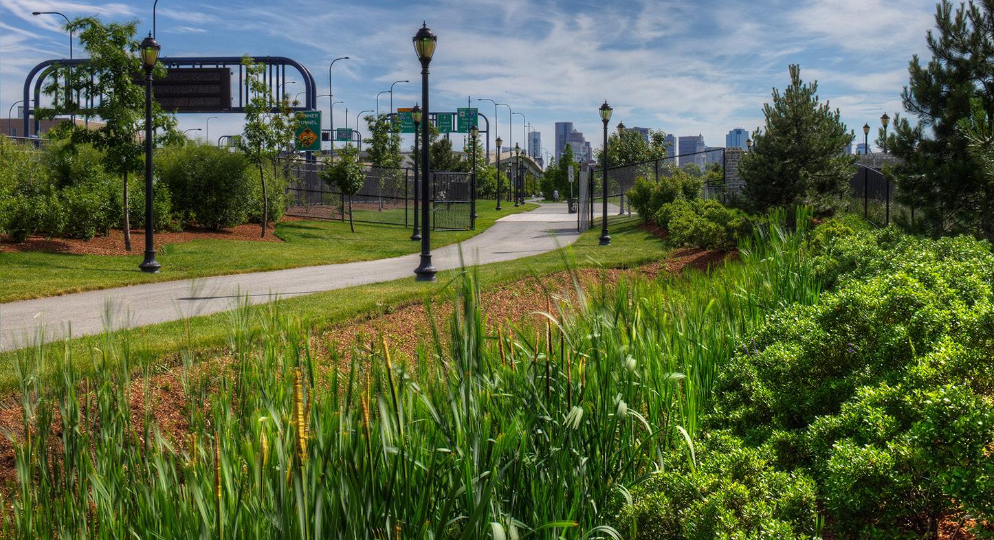
Recent developments such as the Encore Casino in Everett, Hood Park in Charlestown, and a proposed new development district within the project limits, necessitated updated traffic studies along Rutherford Avenue and presented new urban design opportunities to improve pedestrian and bicycle connections as well as provide new public parklands. The new multi-use trail will connect to two MBTA Orange Line Stations, Bunker Hill Community College and Sullivan Square, and the North Washington Street Bridge to downtown Boston.
A portion of the site is subject to coastal flooding that can spill into the low lying areas around the Schraffts Center during storms. New linear parkland with multi-use trails, interplanted with trees, shrubs, and groundcovers is proposed. This new planting along with vegetated swales between curb and pathway and new underground detention basins will increase ground water recharge and reduce pressure on existing overtaxed drainage systems during large storm events. Increasing open space for public access and connectivity in this way serves to make cities more resilient to the effects of climate change and sea level rise.

 image © Alex MacLean

EAST BOSTON, MA

TEAM: Stantec & Brown, Richardson + Rowe
CLIENT: Massport
SIZE: 9 Acres
PROJECT TIMELINE: 1995-2004
Brown, Richardson + Rowe has helped transform Logan Airport since 1995. Virtually every terminal, garage, road, and landscape is new or has been redesigned as part of the Logan 2000 Master Plan and the Big Dig. Our understanding of large scale sites, diversity in planting requirements, and experience working on transportation projects has enabled us to work with Massport and the East Boston community for 20 years to mitigate the effects of airport operations on the community. Projects include: the 1-90 Interchange, Terminal Area Roadway and Central Garage Expansion Projects, the Massport Boundaries and Security, Terminal B and the Logan Office Center, the LEED Gold Certified Consolidated Rental Car Facility and the Logan Greenway Connector.
image © Alex MacLeanBOSTON, MA
TEAM: FST (now Stantec)/Rizzo, A Joint
Venture, Brown, Richardson + Rowe, and Gilham, Gander & Chin
CLIENT: Massachusetts Highway Department
SIZE: 18.5 Acres
PROJECT TIMELINE: 1995-2007
AWARDS: 2010 Finalist, Urban Land Institute

Amanda Burden Urban Open Space Award
 image ©chris barnes
image © Alex MacLean
This 18.5 acre park was once a contaminated parking lot. It was created as mitigation for the MassPike extension to Logan Airport. The Big Dig project originally planned to build a noise barrier, a parking lot, and a planted buffer between Logan Airport and the Bremen Street neighborhood in East Boston. Due to the sustained efforts of the activists and the collaboration team, this area became Bremen Street Park – a $20 million dollar park link in the East Boston Greenway, which served to reunite previously divided neighborhoods from the Logan Airport expansion. BRR helped the team transform what was once a contaminated parking lot and rail corridor into a lush public park Imported fill, careful site grading and appropriate planting medium has ensured the long term success of site planting.

TEAM: Brown, Richardson + Rowe and Stantec
CLIENT: EOEEA and the City of Fall River
SIZE: 2 Miles/15 Acres
PROJECT TIMELINE: 2011-2017
AWARDS: 2018 Finalist, Urban Land Institute

Amanda Burden Urban Open Space Award
 image © Gregg Shupe
image © Gregg Shupe
image © Gregg Shupe
When Interstate 195 split Fall River in half in 1958, it also blocked access to the Quequechan River. The reuse of an 18th century abandoned rail Right of Way has restored public access to the river and its wetlands and connected diverse and underserved neighborhoods on either side.
Challenging environmental permitting, demolition and construction in the wetland resulted in a four phase project and necessitated several funding sources. Brown, Richardson + Rowe led the design team of the Quequechan River Rail Trail project. The project represents a strategic effort to provide great social impact in one of the most diverse and underserved communities in the Commonwealth of Massachusetts. Beyond the immense health benefits, perhaps the most powerful changes have been in public attitudes. A strong sense of renewed pride in place and community is tangible.
The rail trail provides public access to the Quequechan River and almost 200 acres of wetland. Urban access spur paths invite three underserved neighborhoods to shared recreational space with demonstrated health, activity, and social benefits.
 image © Gregg Shupe


TEAM: Brown, Richardson + Rowe and Rizzo Associates (now Tetra Tech)
CLIENT: The Department of Conservation and Recreation
SIZE: Statewide
PROJECT TIMELINE: 2005-2007
The Massachusetts historic parkway system is the oldest of its kind in the country and a resource whose care requires research, evaluation, planning and design. Parkways differ from ordinary roadways because they are within a park-like setting and accommodate multiple modes of travel by drivers, cyclists and pedestrians. The Commonwealth did not have a planning process to guide their repair and stewardship. The Historic Parkways Preservation Treatment Guidelines now provide the collaborative process required for the preservation, engineering and landscape architectural professionals who work on historic parkway projects. The Guidelines have become part of MassDOT’s Project Development & Design Guide.
The historic parkways manual recommends a planning and design process as well as specific guidelines for the treatment of the parkway’s landscape and character-defining features, design controls, bicycle and pedestrian issues, alignment, lane width, curbs, guardrails, lighting, and drainage.


TEAM: GUND Partnership, Brown, Richardson + Rowe, and DiMella Shaffer
CLIENT: DCAMM
SIZE: 7 Acres
PROJECT TIMELINE: 2004-2006
 image © Chris Barnes
Brown, Richardson + Rowe designed the grounds for the adaptive reuse of Chestnut Hill Waterworks. Once occupied by a 19th century pumping station and accompanying carriage house, the site now houses the Metropolitan Waterworks Museum, a wellness/community center, a daycare center, and both high end residential and affordable housing. With the installation of these 21st century facilities, our firm sought to protect the Waterworks’ rich history and beautiful setting. To maintain the Olmsted Brothers’ original vision of Chestnut Hill Waterworks, BRR worked hard to maintain the generous landscape with its historic passage of mature oak trees.
 image © Chris Barnes
CONTACT US: BROWN, RICHARDSON + ROWE, INC.
65 FRANKLIN ST., 4TH FLOOR BOSTON, MA 02110 USA
(t): 617.542.8552
(e): info@brownrowe.com
(w): www.brownrowe.com
Spectacle Island Boston, MA
 image © Chris Barnes