IMAGINE INDEPENDENCE COMPREHENSIVE PLAN 2040


Community, Family, Progress
- these three words describe Independence Missouri. Ours is a City steeped in history. Family ties run deep and in many cases are generations long. From our very beginning, we have been fearlessly committed to progress.
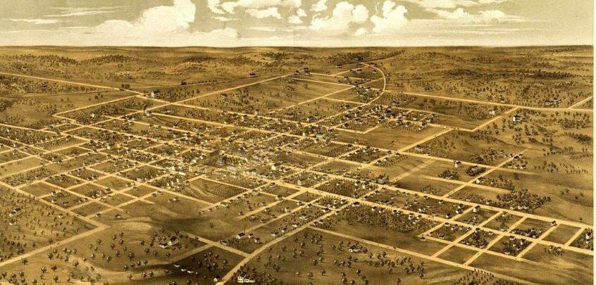
One hundred and seventy-five years ago Independence was teeming with tradesmen selling their wares and families preparing for a lifealtering journey as they embarked on the Great Migration of the Oregon Trail. Just six years later in 1849, the City of Independence was officially chartered. From the early pioneers to our residents of today we have embraced grand aspirations and the values of community, family, and progress.
Independence is a nationally recognized City with a unique history and sense of place. Imagine Independence 2040 is a celebration of the successes of the past and the roadmap to our future. We thank the many, many people who share a singular vision for a safe, culturally diverse, family-friendly community with quality neighborhoods, 21st Century jobs, and a growing economy. It is a long-range plan and framework for our to help guide us toward our desired future in 2040. Independence for All is our City’s strategic plan for the next five years. Both plans complement each other and are in alignment providing a short-term plan and long-term vision.
Both plans are tools to communicate how we want our City to look, function and how we hope to advance our vision.
The community was actively involved in the development of Imagine Independence 2040. We were blown away by the community’s interest and enthusiasm. We had rooms packed full of residents giving their time to help us shape the future of our community. The City received an award from the American Planning Association – Missouri Chapter for outstanding public outreach. And while we are very proud of this award, I am most excited about the ideas these conversations sparked and the momentum that continues to grow in our community.
Michelangelo once said – “The greatest danger for most of us is not that our aim is too high and we miss it, but that it is too low and we reach it.” We will continue to set lofty goals for Independence and look for ways to make progress.
I know those residents, tradesmen, and pioneers who took that leap of faith 175 years ago would be proud of the community that developed here, the stories their families have created here, and the progress we continue to share. Community, family, progress -- this is who we are but also where we want to go. Our success depends on the community supporting each other and providing an opportunity for all of our residents to achieve personal success as we progress together.
Eileen Weir Mayor, City of Independence
As part of the Louisiana Purchase, Lewis and Clark explored Independence in 1803 and later it became the starting point for settlers traveling westward. It’s position off of the Missouri River made it the perfect frontier town. The three trails, Santa Fe, California and Oregon contributed to the City’s prosperity.

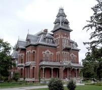
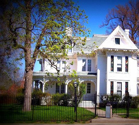
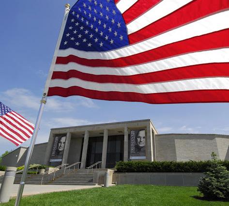
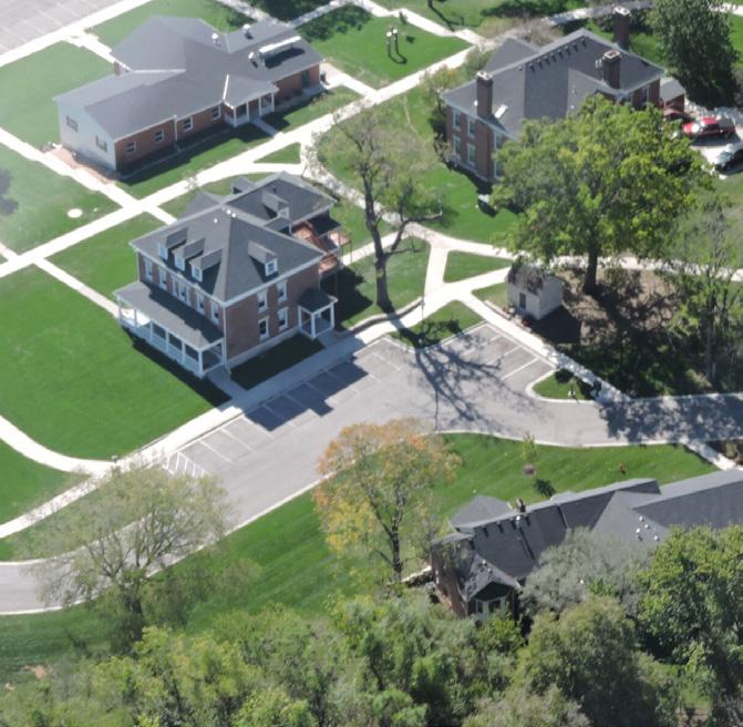
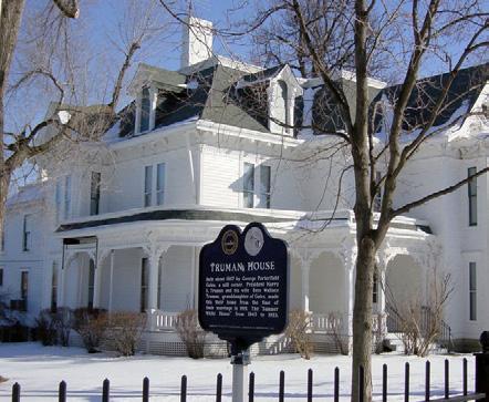
Independence is a city located in the Kansas City Metro area. It is situated along Interstate 70, 470, 435 and US Highway 24, major transportation corridors in Missouri. As the hometown of Harry S Truman, Independence attracts visitors from all across the country. His legacy is forever remembered through monuments and historic places such as the Harry S Truman Presidential Library and Museum, and the Harry S Truman National Historic Site. Bingham-Waggoner Estate, Vaile Mansion and Harry S Truman National Historic Site are a few examples of Victorian era architecture that remain in the City today.
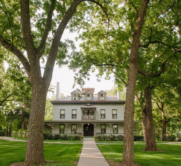



 BINGHAM-WAGGONER ESTATE
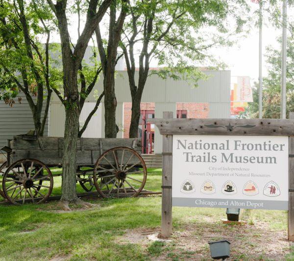
NATIONAL FRONTIER TRAILS MUSEUM
VAILE MANSION
TRUMAN COURTHOUSE
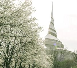
COMMUNITY OF CHRIST TEMPLE
TRUMAN NATIONAL HISTORIC TOURS
TRUMAN MUSEUM TRUMAN HOME
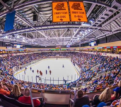
SILVERSTEIN EYE CENTERS ARENA
MISSOURI MAVERICKS
TRUMAN LIBRARY
Our world is changing at an exponential rate. These changes are significant when making plans to meet these challenges and take advantage of new opportunities.
Independence is projected to continue to grow in population to 129,000 in 2040 but is the population as a whole is aging as it is nationally. The median age of Independence is 40.1, slightly higher than both the state (38.1) and national (37.7) median age. Independence must think about how to create a place to live well for people of all ages.
Independence has homes built in the early 1800s and each decade since that time with most built in the 1970s. A variety of housing sizes and types to accommodate buyers of various income and interests could mean an increased demand for quality both old and new housing in unique neighborhoods close to amenities. With median rent at $783 per month, Independence is an affordable place to live. This is lower than both the national median rent ($949) and the metro median rent ($864).
Excellence in education is a bedrock of economic development, population growth, and workforce development. All four local school districts have established successful programs to prepare students for college and careers. The percent of our population that is graduating from high school is trending up. Currently, 88.5% of the population holds a high diploma while 18.1% hold a bachelor’s degree or higher. Independence must train the workforce of tomorrow in science, technology, engineering, and mathematics.
Today’s challenges and opportunities informed the strategies developed for this plan in the following chapters.
88.5% HIGH SCHOOL GRADUATE OR HIGHER
18.1% BACHELOR’S DEGREE OR HIGHER
This plan will provide a framework for how the City should develop in the future. This plan is a document that looks at the City and makes long term recommendations on what should and shouldn’t happen in Independence. What will public spaces look like? What will the streets look like? What jobs will we have? These were some of the questions that were explored during the community engagement process. Since Independence is surrounded by other cities, there is only so much land that can be developed, through community engagement there has been input on what uses the City should prioritize.
The City of Independence is updating the Comprehensive Plan; the first update since 1993. Since it was established, the City has had a strong history of planning. Without careful planning the City would not have evolved to what it is today. Independence is a destination and connector to regional transportation corridors, parks, offices, shops, entertainment and housing. The Comprehensive Plan is a document that identifies the vision, goals and priorities of a community for the next 20 years. The Plan is called “Imagine Independence 2040 – A Community Vision.” Public engagement played a major role in the comprehensive plan update.
The established neighborhoods in the City are welldeveloped, while new areas of Independence could see some change over the next 20 years. The City will continue to change over the next 20 years, as it has since the last comprehensive plan update. It’s important to have a plan in place to guide the City over the next 20 years. This plan reflects the needs and wants of the community, elected officials, and City staff and will help shape the future of Independence.

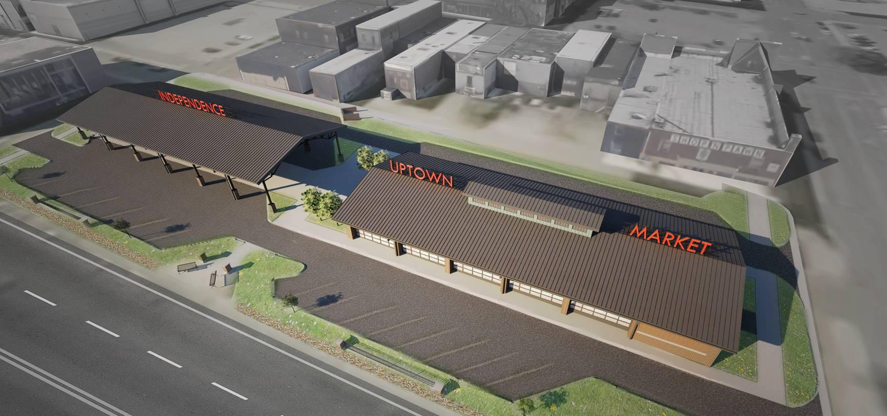
Our quality neighborhoods, 21st century jobs, growing economy, safe, family-friendly community, and cultural diversity makes Independence, Missouri a nationally recognized City with a unique history and sense of place.A farmers market pavillion is under construction as part of the City’s vision to create a community with a unique sense of place.
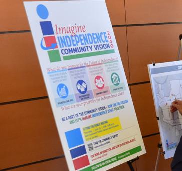
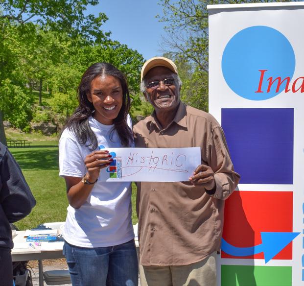
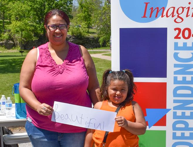
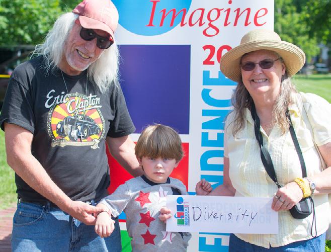
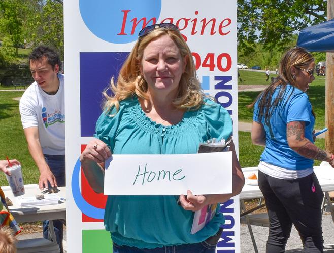
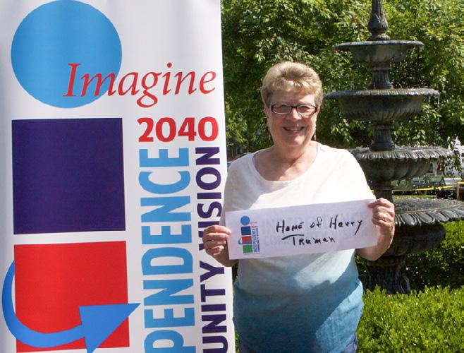
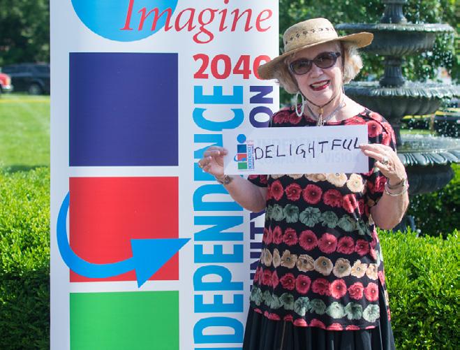
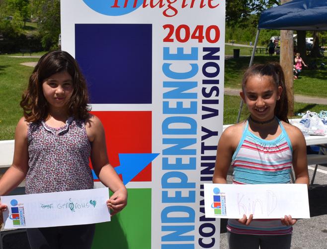
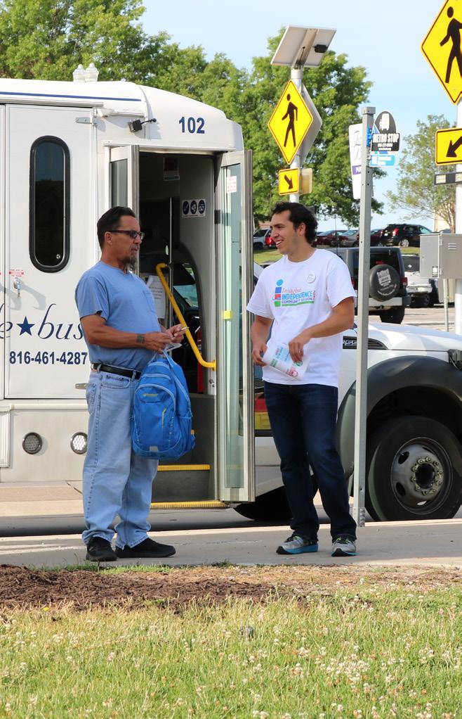
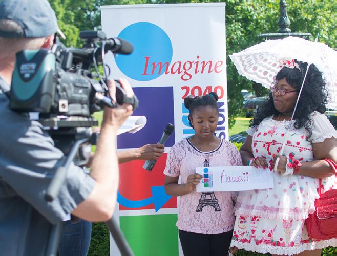
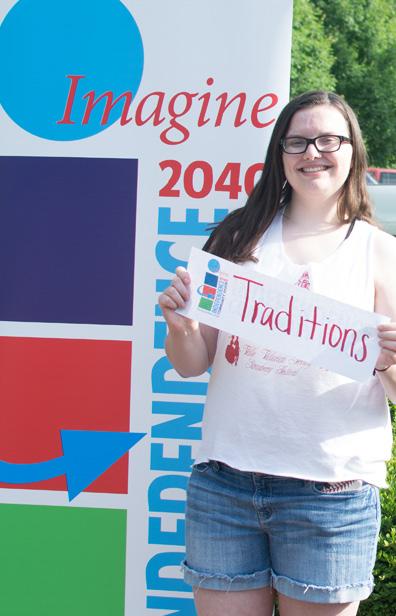
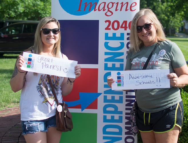
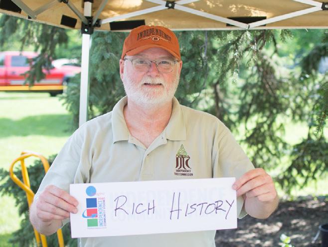
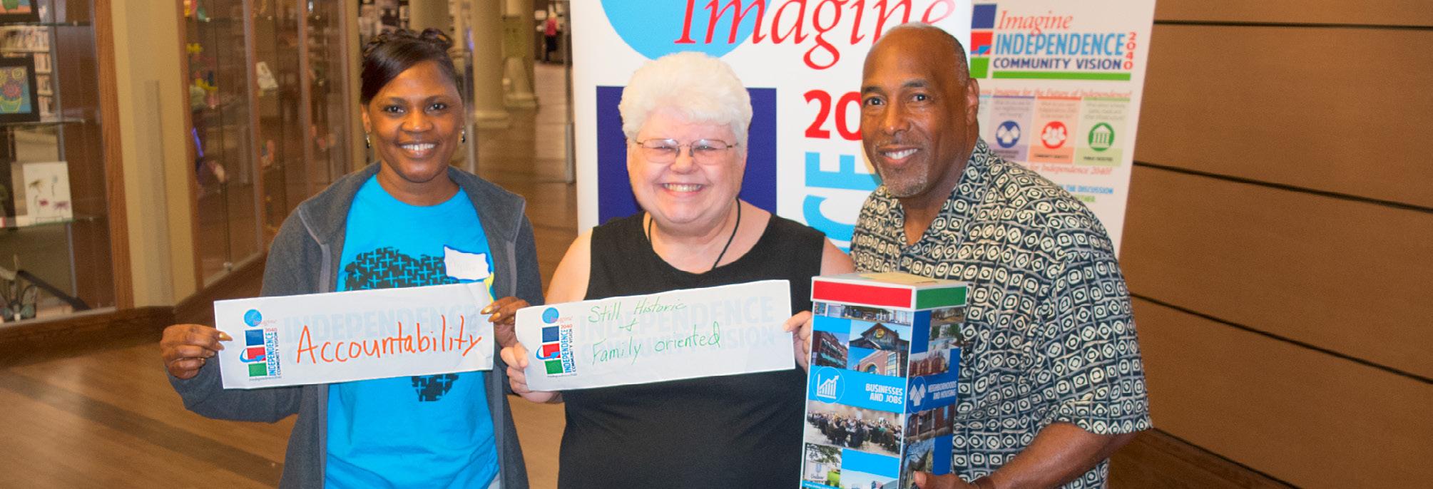
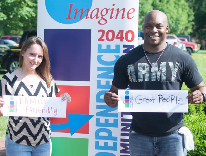
Imagine Independence 2040 is supported by engagement of the community. Ideas, thoughts and concerns were gathered over a six month period from April 2017 to September 2017. Input from the community provides insights on what the community wants to see in the future. Their input is crucial and has been incorporated into the plan.

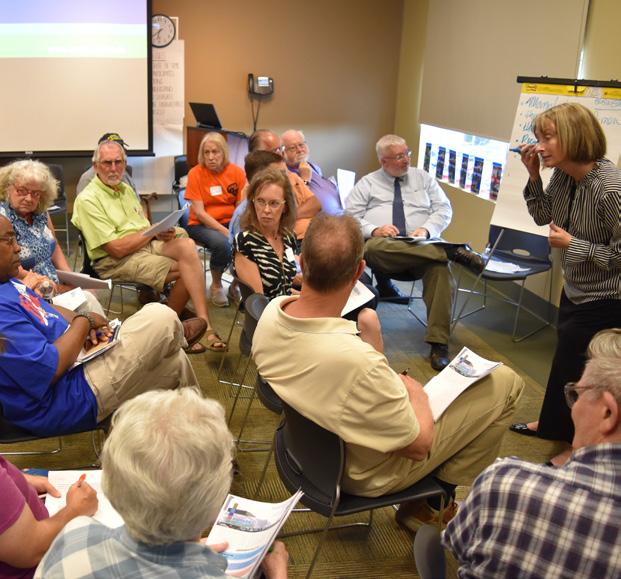

30 Participants
6 Locations
4,000 Impressions
98 Facebook Live participants
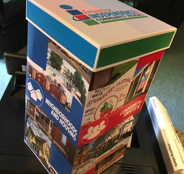
The public engagement process was very robust with many opportunities for stakeholders to provide input into their vision of Independence in 2040. Local officials, steering committee members, and the community came together to develop a vision for the future of Independence. Thousands of community members provided input on the plan, served on steering committees, attended public events, participated in meetings and expressed their love and concern for the City. This graphic summarizes engagement methods used.
The Missouri Chapter of the American Planning Association recognized Imagine Independence 2040 as Outstanding Public Outreach Project of the Year, 2017.

SOCIAL MEDIA
100+ Attendees
7 Events
SIGNAGE
COMMUNITY EVENTS
1,150 Respondents
PUBLIC MEETING COMMUNITY SURVEY

11 Meetings
STEERING COMMITTEE
MEETING IN A BOX PROJECT WEBSITE
700 Visitors
Progress occurs when courageous, skillful leaders seize the opportunity to change things for the better.
Harry S Truman 33rd President of the United States
Imagine Independence 2040 is dedicated to you in recognition of the amazing stories and efforts you have provided in helping put this plan together.
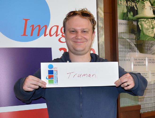
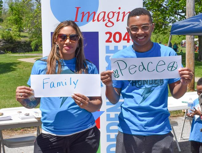

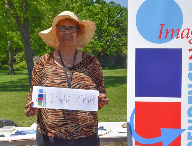
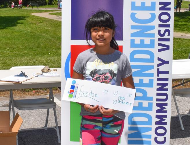


The City developed a Strategic Plan, Independence for All, in 2016. The Strategic Plan includes a vision, mission for the City, goals, strategies and performance measures. The timeframe is 20172021. This document frames the Comprehensive Plan, Imagine Independence 2040 with a vision, goals and strategies. The vision and goals from both documents are consistent with the desire of both elected officials and the community and describe a shared vision for the future. Throughout this document we will reference the strategic plan, showing the alignment between the two plans.
In the following five sections you will find the four topic areas and a land use section. Three themes emerged between the plans:
• Connected
• Welcoming
• Distinctive
These themes are used throughout the document. Each section begins with its connection to the strategic plan including goals and measures. In each section, guiding principles, land use, and tools and policies are described by area.
The following themes were crafted with consideration of comments received from the public throughout the planning process and relate back to the Strategic Plan, Independence For All.
There are multiple benefits to a City that is connected physically and socially. Walkability, safety and shared public spaces offer social and economic benefits.
• A complete trail system contributes to overall health and well-being, limiting congestion, building community
• Consistency throughout the City
• Shaping the overall impression of the City for visitors
• Making it easier for visitors to get around
• People in the community are connected to each other
This City provides a welcoming atmosphere for community members and visitors. It is welcoming for all ages, sizes, abilities, backgrounds and ethnicities.
• Inclusive neighborhoods
• Clean, attractive corridors are gateways to the community
• Public facilities are clean and safe
• People and new ideas are embraced
Unlike anywhere else, Independence capitalizes on the history, tourism, natural resources, and entertainment it has to offer.
• Truman’s legacy
• A hub for shopping
• Sporting events and entertainment
• National attractions
• Community events and festivals
Create a family-friendly, culturally diverse community making Independence, Missouri a nationally recognized City with a unique sense of place.
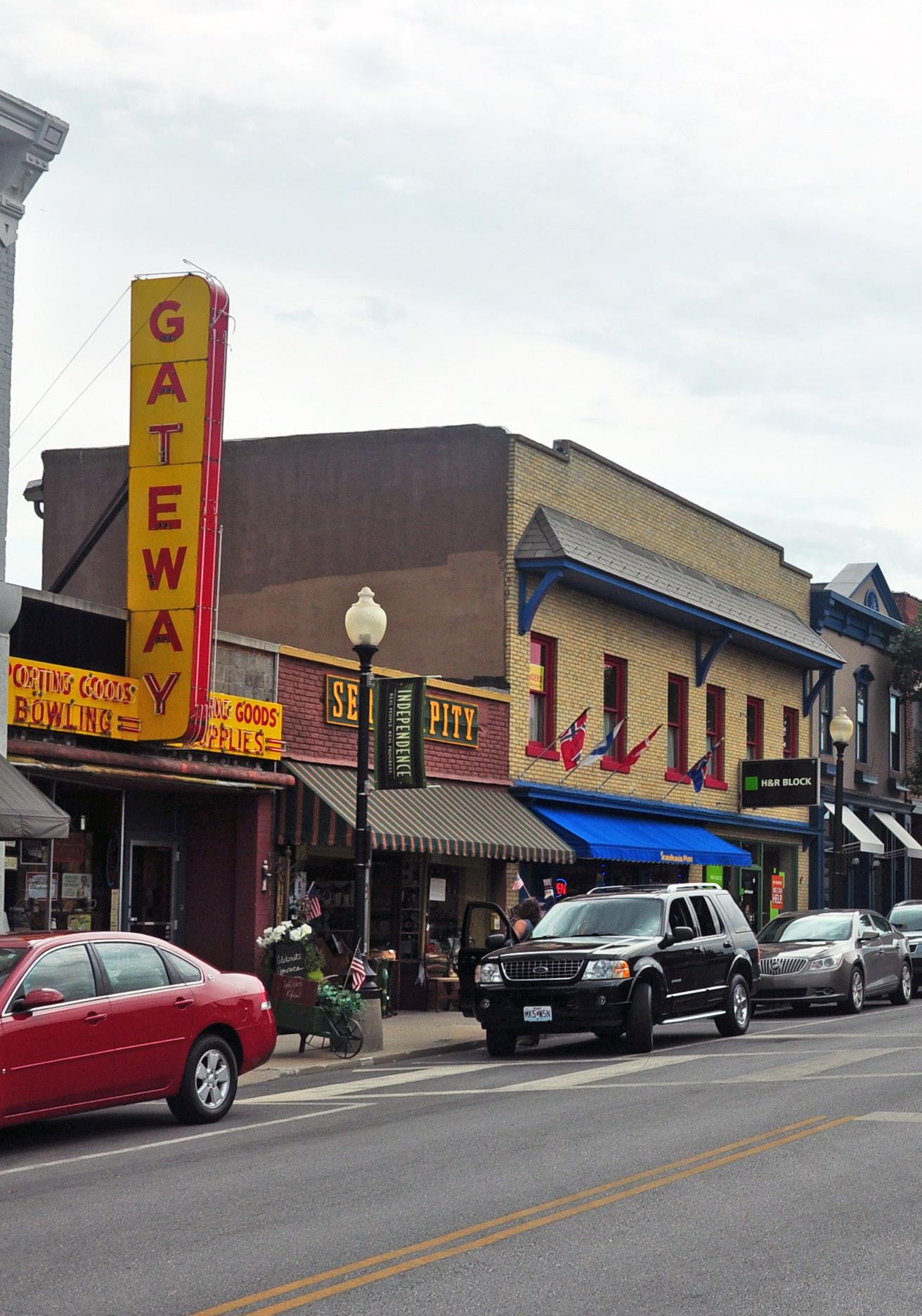
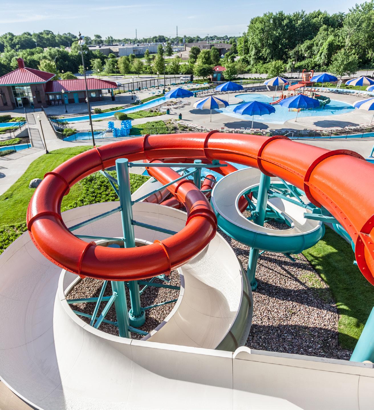

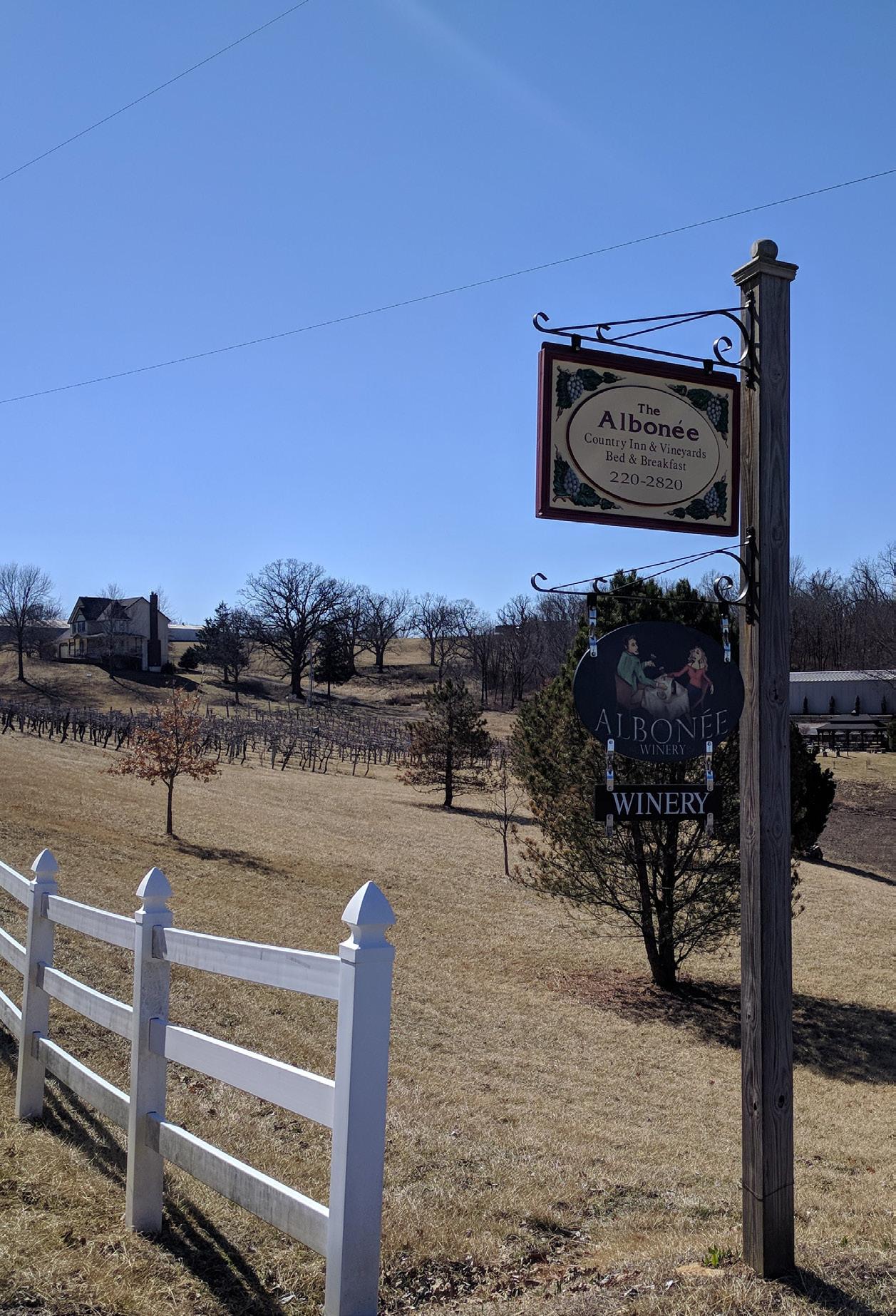
Our vision is to create a family-friendly culturally diverse community making Independence, Missouri a nationally recognized City with a unique history and sense of place.
Independence is rich in history and provides a vast array of amenities to its residents. Residents continue to invest in protecting the distinctive qualities that make Independence home. Looking forward, residents envision a strong local economy, excellent schools while respecting the historic significance the City played in the settling of the west and being home to Harry S Truman, our 33rd US President.
Increase quality — achieve livability, choice, access, health and safety through a quality built environment.
The City’s Strategic Plan, Independence For All, tracks progress in the area of livability using the following measures.
Improve visual appearance of major commercial corridors and historic sites.
Improve condition and maintenance of public infrastructure and facilities.
Increase population. Increase tourism.
Even though it is intangible, a community’s identity is one of its most valuable assets. Independence takes pride in its history and culture and has many ways to celebrate these. Between the charming Independence Square and Harry S Truman’s legacy, the City’s identity brings economic value to the community and is preserved for future generations. Along with numerous cultural events, Independence is appealing for residents and tourists. In the future, Independence will continue to embrace its past and celebrate its history.
A community’s image is nearly impossible to quantify, yet it is as important and has as great an impact on the success of the community as
any other component. Most information about the City’s image is anecdotal, in that it is how the community is presented by the media, people’s recollection of times past and the informal discussions or comments made by citizens and non-citizens alike. It is not uncommon for a reputation earned in one era to continue, when in fact it is part of the past and not reflective of the present.
Based on the community’s input they would like their City to be inviting, walkable and alive with activity; where neighbors know each other and neighborhoods are family friendly. They want to celebrate the diversity of neighborhoods with festivals, events and shops that highlight their culture.
As the hometown of Harry S Truman, Independence attracts visitors from all across the country. His legacy is forever remembered through monuments and historic places like, Harry S Truman Presidential Library and Museum and Harry S Truman National Historic Site. Vaile Mansion, Bingham Waggoner Estate and Harry S Truman National Historic Site are great examples of Victorian era architecture remain in the City today. The Independence Square is thriving with specialty shops, boutiques, and restaurants. People will continue to come back to Independence to experience it’s unique stores and restaurants.
Connecting major attractions in the City through trails will highlight to significance of trails in the City’s history. Independence is known as the “Queen City of Trails” because it was the departure point for the California, Santa Fe, and Oregon Trails. This piece of history is celebrated through the Santa-Cali-Gon Days. Additionally, connecting major attractions will create opportunities to support local businesses and help people explore all of Independence.
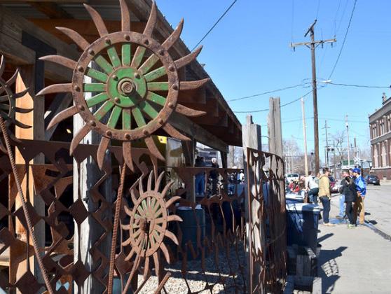
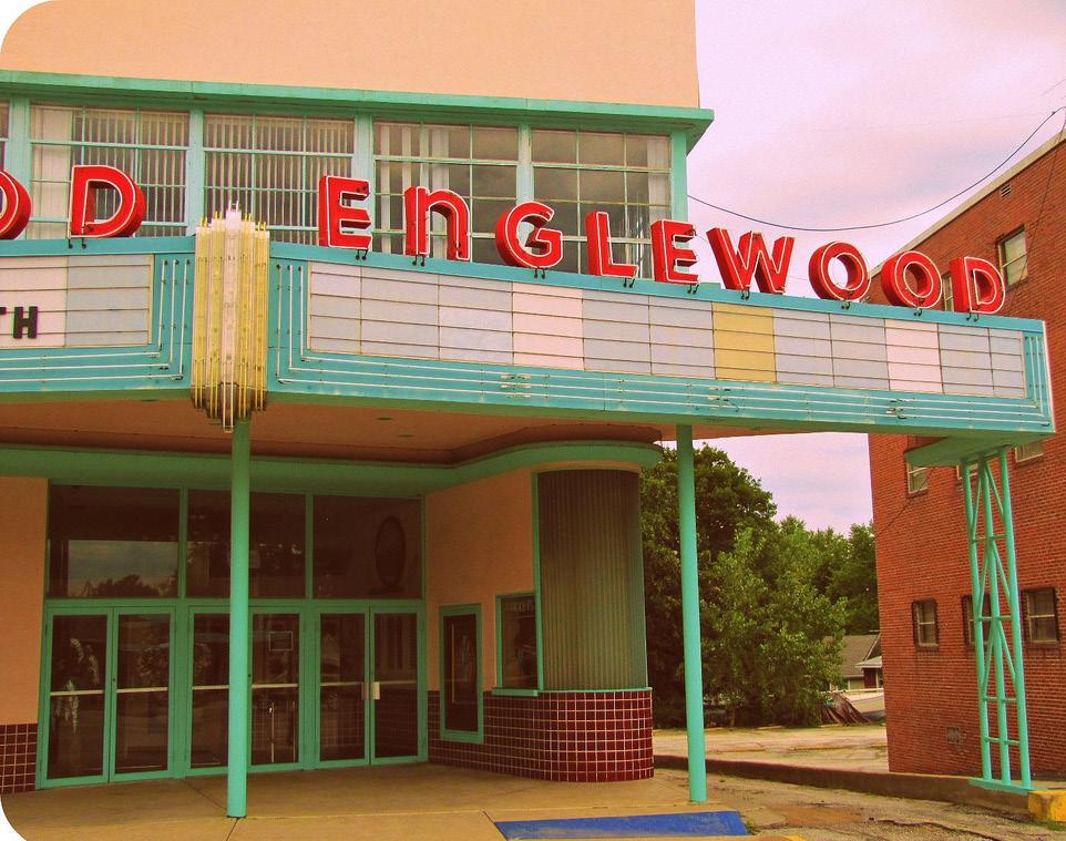
The diversity of Independence’s neighborhoods is an asset to the City. Areas like Independence Square, Maywood, Fairmount and Englewood each offer something different to visitors and residents. For example, the Englewood Arts District is home to a variety of artists, galleries and studios. It is important to connect this area to other art assets in the community.
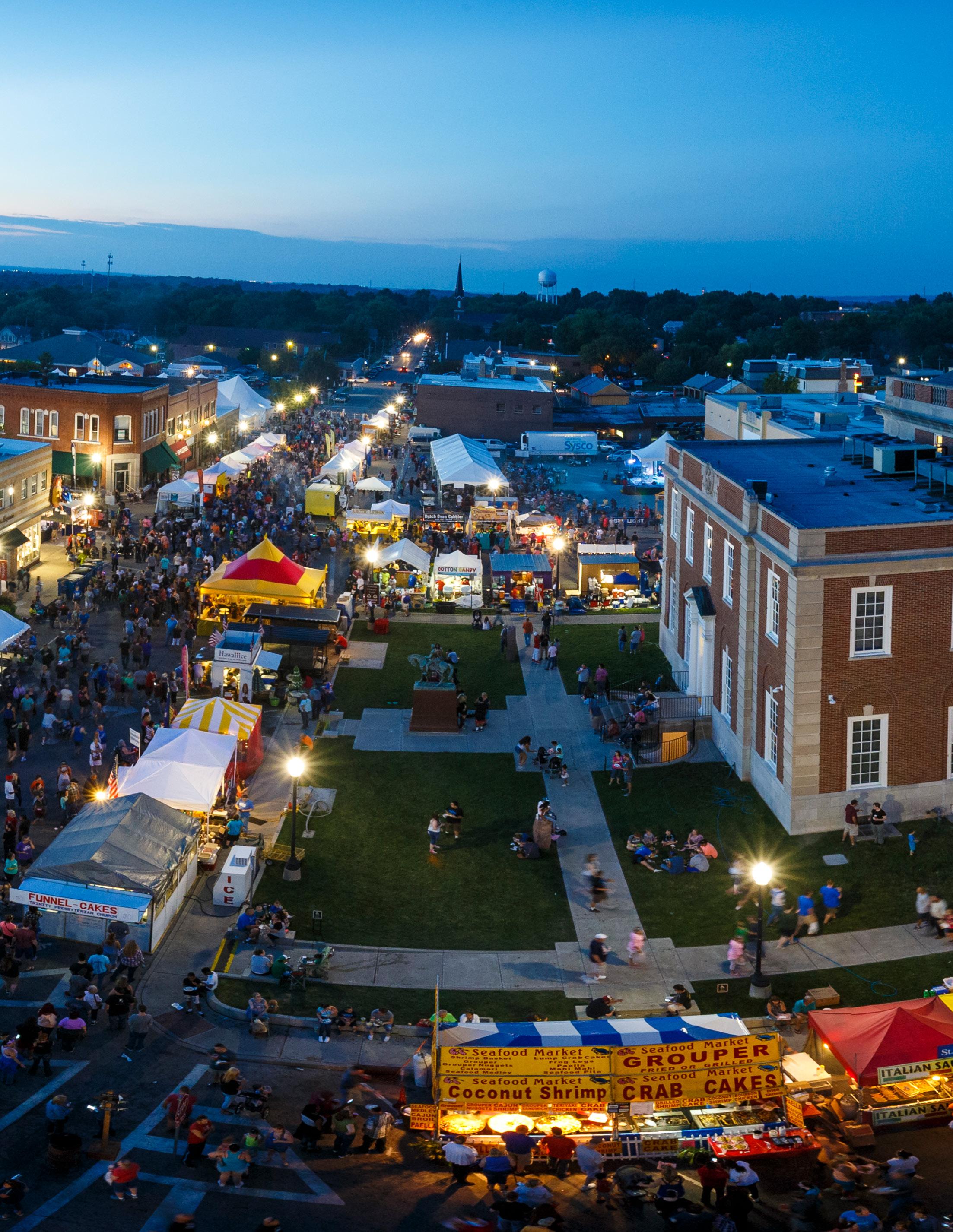
Citywide and neighborhood festivals let people interact with people from all walks of life and celebrate the unique flavor of Independence.
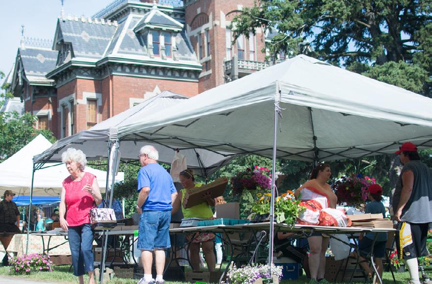
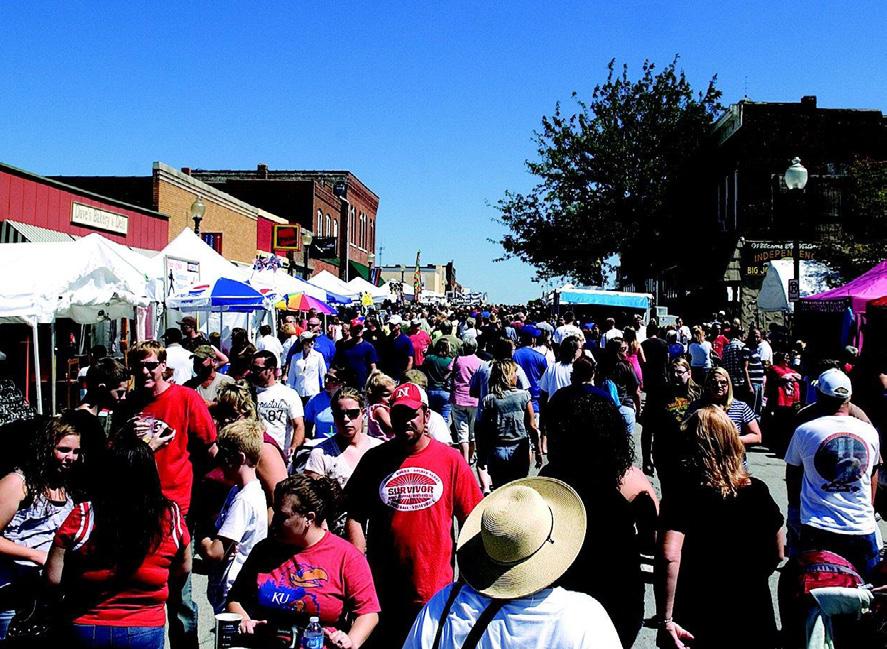

Independence is known as “Queen City of Trails” because it was the departure point for the California, Sante Fe, and Oregon Trails.ENGLEWOOD ART WALK ETHNIC FESTIVAL SANTA CALI GON DAYS
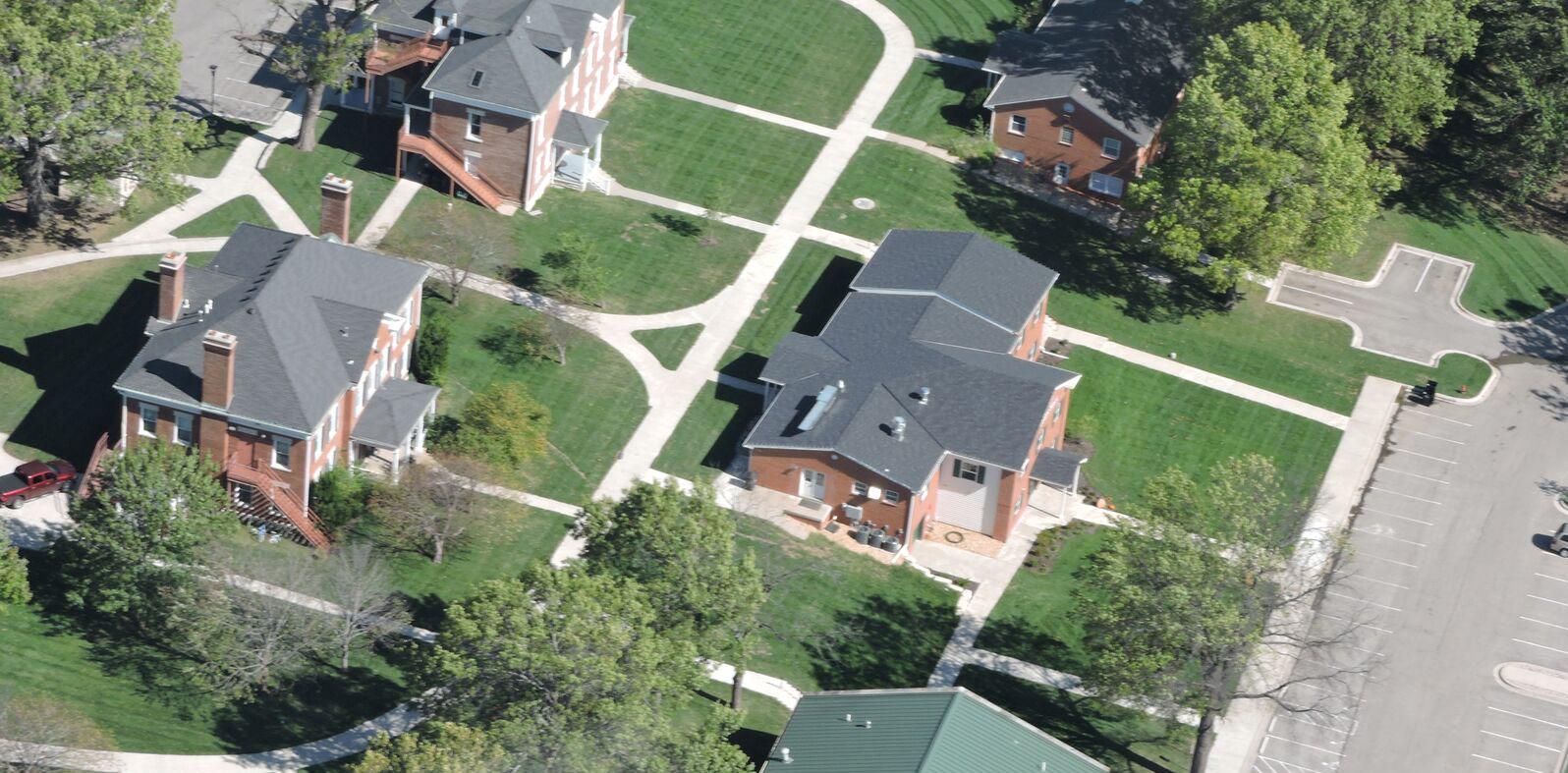

 NOLAND ROAD
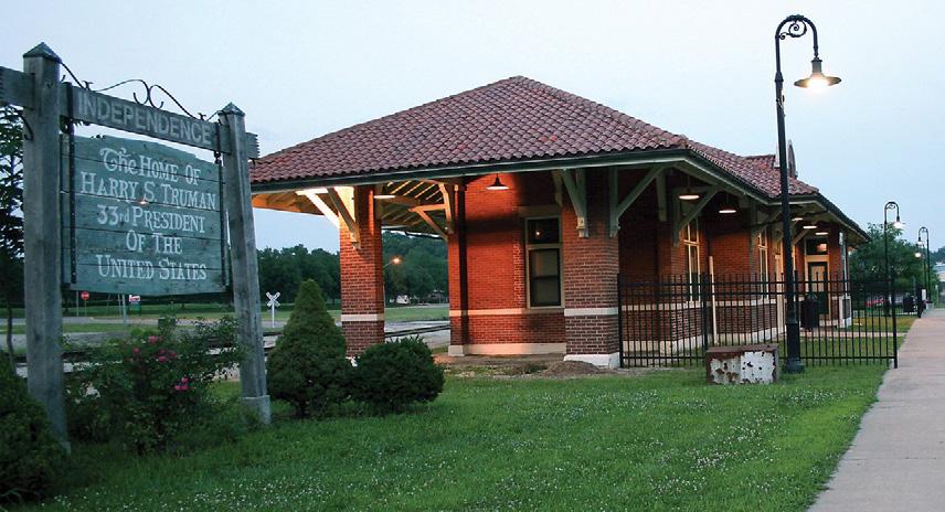
TRUMAN DEPOT
DRUMM FARM CENTER FOR CHILDREN
Community assets attract visitors to Independence and contribute to its economy and quality of life. Major entrances and corridors are attractive and inviting.
Historic buildings and properties are maintained, rehabilitated and protected from deterioration and loss.
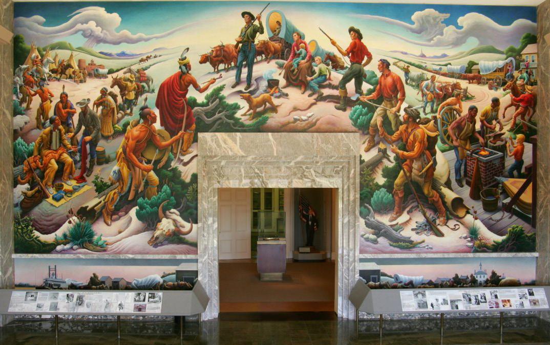
People and places are connected and celebrated for their uniqueness and diversity.
Welcoming
Foster redevelopment opportunities within the City in an effort to revitalize unused or underused property.
Distinctive
Encourage a physical character and form that reflects the historic setting.
Create a built environment that is compatible with the City’s natural environment.
Balance open space and environmental preservation with the community’s development needs.
Welcoming
Invest in major corridors with streetscape improvements, public art, green space and upgraded intersections to attract tourists. Work in concert with the private sector to raise funds, advertise, and organize events.
Distinctive
Support preservation and protection of historic areas and properties.
Cultivate a vibrant, unique City that attracts and retains residents and visitors.
Embrace Main Street accreditation to make the Independence Square the best downtown in Missouri -- rich in history, architecture and economic vitality.
Policy Documents and Plans
Link Independence: www.indep.us/LinkIndepPlan
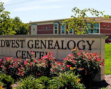


 MIDWEST GENEALOGY CENTER
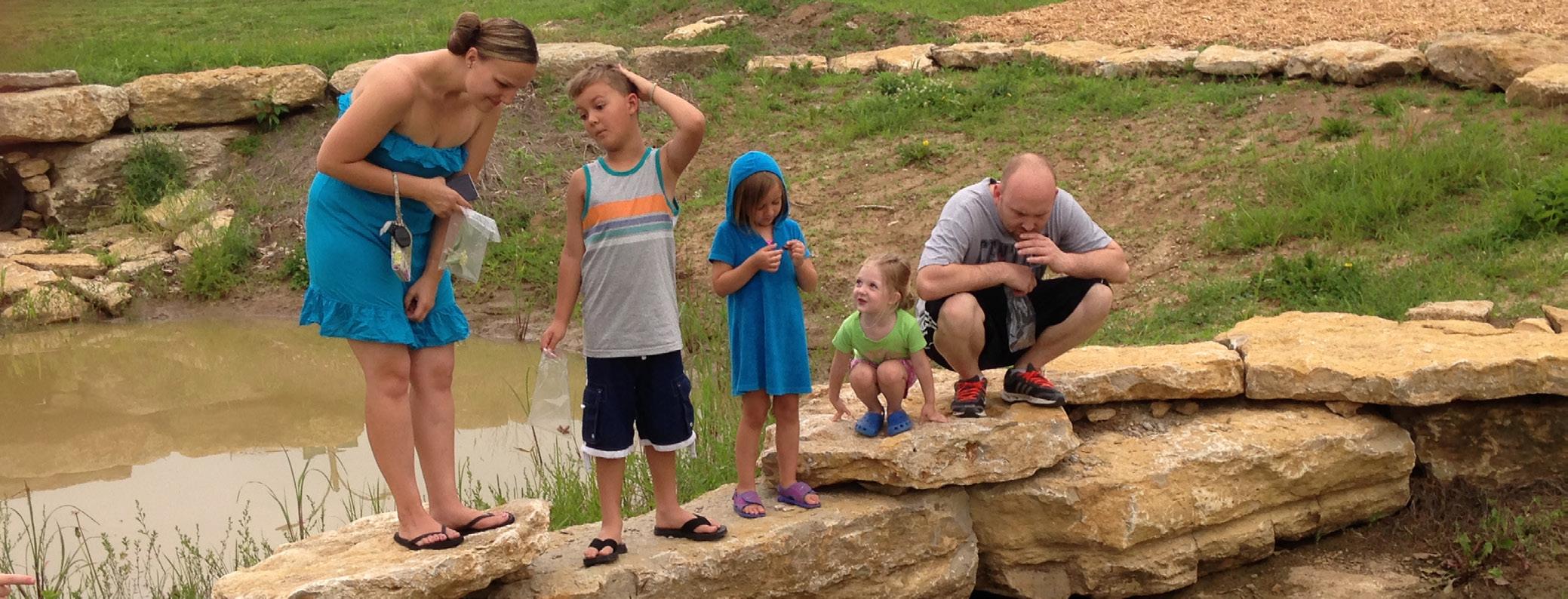
GEORGE OWENS NATURE PARK
VAN HORN HIGH SCHOOL
TRUMAN HIGH SCHOOL
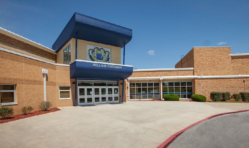
WILLIAM CHRISMAN HIGH SCHOOL
Create 21st century jobs that help our community prosper by diversifying sectors focusing on healthcare, advanced manufacturing & engineering.
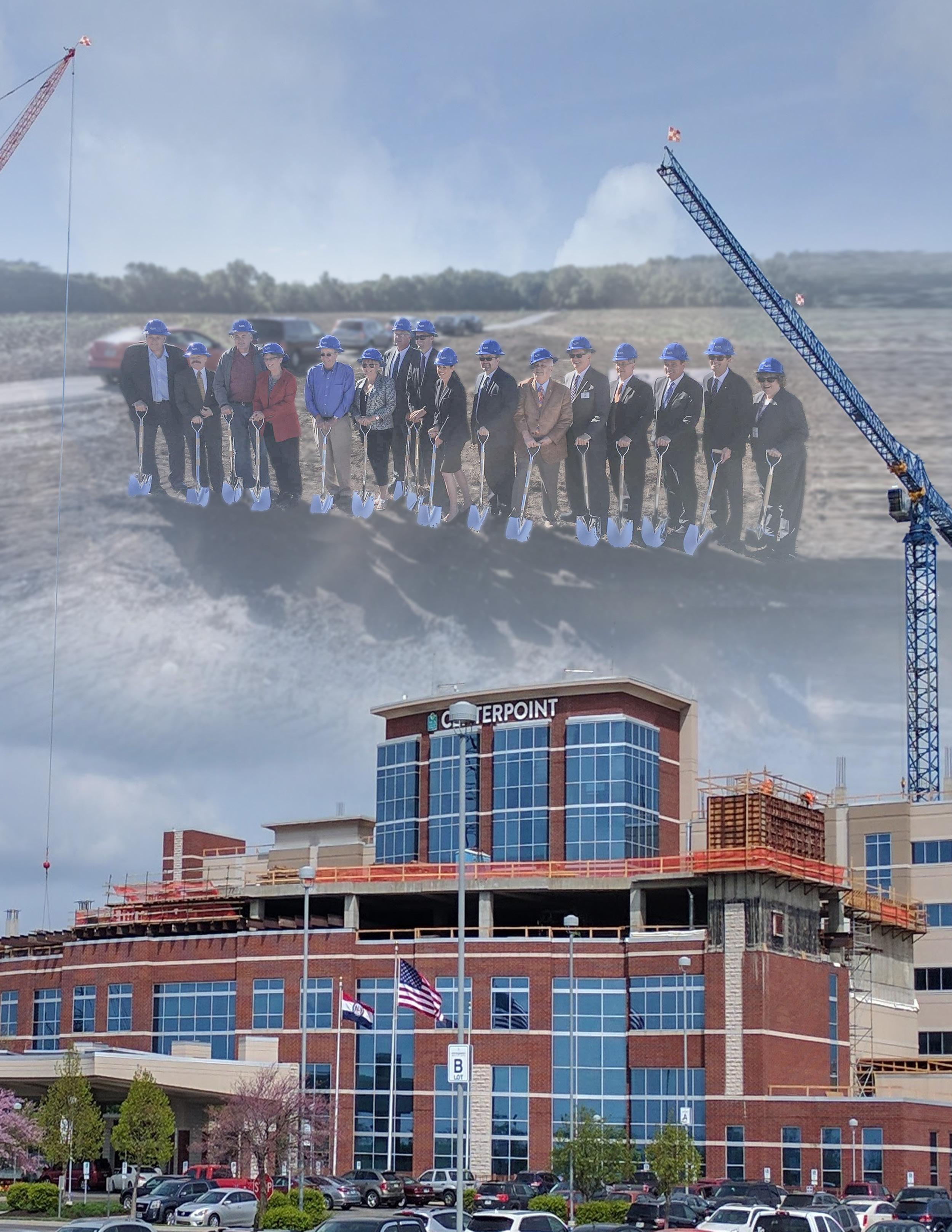
Independence is a place where paths cross for many in the region. With great access to highways and railroads, Independence is attractive to businesses. Independence is positioned to attract industries of the future including life sciences, architecture, and advanced manufacturing. Growth areas include health care and education of health care professionals.
Increase economic prosperity of the community.
The City’s Strategic Plan, Independence For All, tracks progress in the area of economic prosperity using the following measures.
Increase sales tax revenue per capita. Increase household income. Increase jobs. Increase population. Increase tourism.
To understand how to strengthen the economy, one must understand the current economic state, how Independence arrived at the current economic state and what trends will influence the future. The desired goal of the community as defined in the strategic plan, Independence for All, is to increase the economic prosperity of the community.
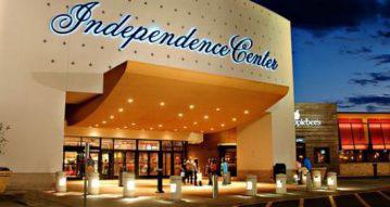
Retail trade is the dominant sector in Independence – over half (52%) of the industries in Independence are retail businesses. Retail businesses bring in nearly $700 million dollars to the community each year. Many people choose Independence as a destination for shopping and dining. The majority of the retail industry started with Independence Center in the early 1970s followed by retail centers like Independence Commons, Bolger Square, Hartman Heritage, Eastland Center, and The Falls with its surrounding mix of retailers and restaurants. The largest contributing sectors to
this industry are restaurants (food and beverage), miscellaneous retail businesses including gift stores, department and general merchandise stores, clothing stores, and grocery stores. Within the retail business sector, there are only a few categories where residents shop outside of Independence – these include home furnishings, gasoline stations, non-store retailers (e-commerce, mail order and direct sales) and specialty restaurants.
As a municipality in the Kansas City metro, Independence will participate in the shared vision of KC Rising. KC Rising is a long-term vision for the greater Kansas City region to build capacity, bring existing businesses to scale and fully realize the KC region’s potential. KC Rising is regional in focus, but global in perspective targeting high growth in trade, people and ideas. Independence will prepare its workforce for jobs of the future. The strength of the Independence business community
Our vision is to create 21st century jobs that help our community prosper by diversifying sectors focusing on healthcare, advanced manufacturing, and engineering.
lies in its easy access to high quality labor force. Independence companies have access to approximately 148,000 workers within a 10 minute drive. Approximately 30% of the labor force has a post-high school degree, higher than Kansas City average.
7,913 EMPLOYS
Independence is uniquely positioned to grow small business and attract new businesses with it’s talent and workforce, business resources, business incentives and great transportation network. Entrepreneurs are supported by the Ennovation Center Business Incubator, which provides support for start ups with focused expertise in marketing, sales, and business strategies.
The shopping of the future is all about convenience. Independence can survive the rise of online shopping by focusing on the shopper’s experience. Independence Square is thriving with specialty shops, boutiques, and restaurants. Although online shopping is growing, boutique shops are becoming increasingly popular. Boutiques offer a shopping experience that doesn’t compare to online shopping. Visitors want to shop in stores and visit places that have a sense of place. People will continue to come back to Independence to experience it’s unique stores.
Although retail is the dominant sector in Independence, there is room for growth for light and heavy manufacturing of the future. With a boom in these industries there will be an increase in jobs that eventually leads to economic vitality and an improved quality of life. There needs to be intentional effort to connect people to jobs and give them the skills they need to land these jobs. Coordinating workforce development activities in the City and combining resources will make it easier for the unemployed and underemployed to get significant work experience. The coordination of resources will ensure they have the support system to stay employed and have the housing and services necessary to succeed.
162,610 PEOPLE
PROMINENT BUSINESSES FOR 2014
225
LARGEST INDUSTRY SECTORS BY NUMBER OF EMPLOYEES
8,382 RETAIL TRADE
6,232 HEALTHCARE
5,275 ACCOMMODATION AND FOOD SERVICES
4,011 MANUFACTURING
Although retail is the dominant sector, there is room for growth in manufacturing.
Connect people to jobs and give them the skills they need to succeed in the job market of the future.
Adapt retail sector to marketplace trends. Build supportive infrastructure to grow businesses and stabilize the local economy. Promote growth, innovation, investment and opportunity.
Diversify sectors and advance manufacturing, engineering, green power and health sciences.
Encourage mixed-use development to create diverse and self-sufficient neighborhoods. Residents desire small-scale retail integrated into neighborhoods including local restaurants, art, boutiques so that people can walk to them.
Provide opportunities for industrial development sites within the community.
Foster redevelopment opportunities within the City in an effort to revitalize unused or underused property.
Establish and maintain housing, transportation, communication and utility systems which support and foster quality development.
Locate and concentrate commercial development that support both the local and regional market.
Promote diversification of the commercial/ industrial base.
Adapt retail and commercial spaces to accommodate market trends.
Identify and develop physical connections between employment center and surrounding neighborhoods. Improve transportation access to education, training and employment opportunities.
Cultivate a vibrant, unique City that attracts and retains a highly skilled workforce.
Promote expansion of small firms and entrepreneurs by creating innovation centers.
Target business recruitment efforts on businesses that benefit from locating near existing Independence businesses.
Focus retention on high-performing, capital intensive, existing employers so they may grow in place.
Facilitate development-ready sites.
Preserve and promote historic assets and natural resources to attract tourists.
Invest in green energy to spur development and redevelopment.
Grow STEM:Science, Technology, Engineering and Mathematics industries complementary to regional market: high-tech manufacturing, engineering and health sciences.
Little Blue Valley Comprehensive Plan Amendment www.indep.us/LBVPlan
US 24 Highway Corridor Study www.indep.us/24HwyPlan
KC Rising http://kcrising.com/
Create vibrant, safe neighborhoods that are walkable and offer diverse uses, services, and housing options for all.
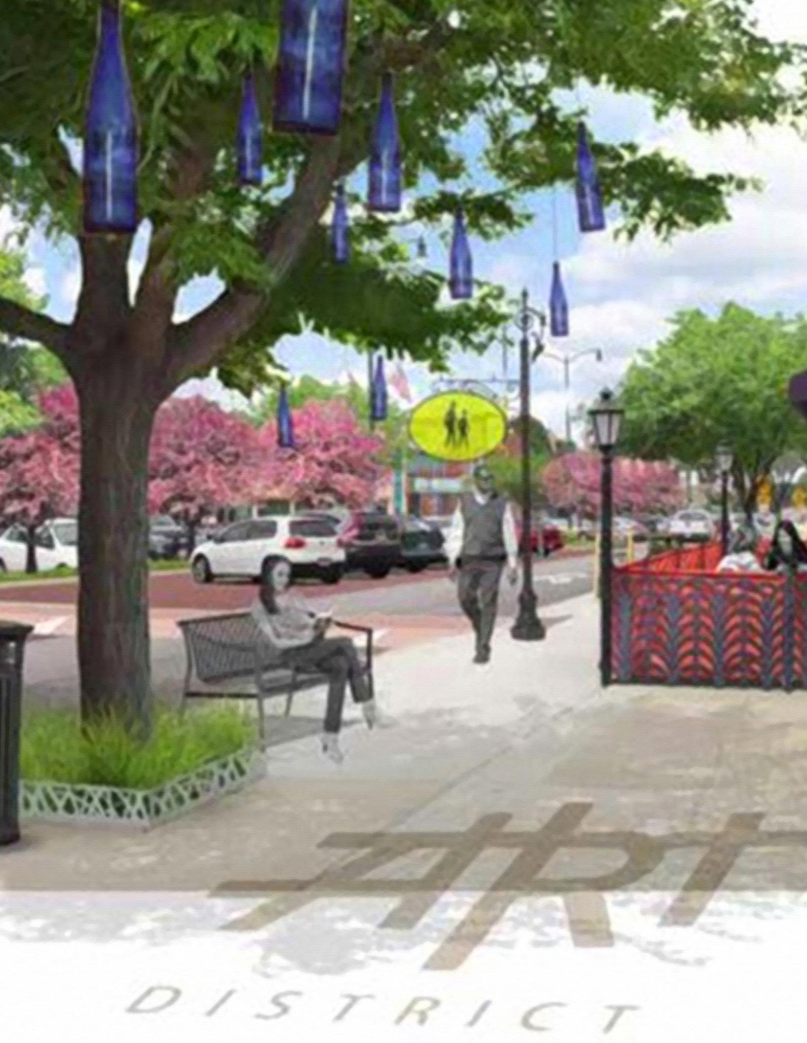 Englewood Arts District Plan
Independence has neighborhoods that are unique, diverse, and compete well in the regional housing market. A variety of housing choices that are distinctive and safe offer housing for all interested in living in Independence.
The City’s Strategic Plan, Independence For All, tracks progress in the area of neighborhoods and housing using the following measures.
Improved housing conditions. Increase median value of owneroccupied housing units.
Independence neighborhoods provide a wide variety of housing types and values, including attractive, affordable housing in many forms and locations. The City is not experiencing robust home building activity like some of the other communities in the region. The Home Builders Association of Greater Kansas City reports that 2017 permit activity for single-family and multi-family homes has increased nearly 13% in the Kansas City region compared to 2016. The City of Independence saw an increase of 46 permits during that same period, however it experienced significantly less permit activity than Kansas City, Lee’s Summit, Lenexa, Olathe, Overland Park, and Raymore, and fell below the permit activity of Blue Springs, Grain Valley,
Improve housing affordability.
Shawnee, and Smithville. The median age of homes built in the late 60’s in Independence is 50 years old and the median value is $110,400 (US Census, 2010).
Going forward, Independence seeks to recreate and protect existing neighborhoods with a strong sense of community and connectivity that welcome residents of all ages, incomes and cultures. Independence values and encourages the preservation of safe, secure, quiet neighborhoods in every part of the City with well-tended yards and gardens and nearby parks. Walkable, mixeduse neighborhoods are favored with open system
Our vision is to create vibrant, safe neighborhoods that are walkable and offer diverse uses, services, and housing options for all.
Independence seeks to recreate and protect existing neighborhoods with a strong sense of community and connectivity that welcome residents of all ages, incomes, and cultures.
pedestrian and bicycle friendly streets that connect neighborhoods with the rest of the town. Most residential areas should be convenient to neighborhood services, as well as public transit. Additionally, the focus should be placed on the quality of neighborhoods, rather than measuring permit activity as the sole method for measuring success.
Traditional neighborhoods are mixed use, walkable, and pedestrian friendly. There is currently a trend in planning and zoning to encourage pedestrian friendly access and walkability. A walkable area is generally understood to be a place that emphasizes people over cars by providing comfortable and convenient pedestrian facilities (such as sidewalks, crosswalks and bike paths) within a mix of land uses. Independence will create the mix of uses and walkability that neighborhoods offered in the past. The traditional neighborhoods in Independence have an advantage because they are already designed to be pedestrian friendly. By bringing back amenities to neighborhoods, connecting and improving sidewalks, and introducing complete streets, people won’t have to rely on a vehicle for everyday activities.
Provide a diversity of housing options in all neighborhoods.
Improve and maintain housing stock in established neighborhoods.
Maintain and improve the safety of all housing. Preserve the integrity of existing neighborhoods and the historic nature of older neighborhoods.
Support sustainability initiatives to create more energy efficient development.
Facilitate the development of connected, mixed use neighborhoods where appropriate.
Neighborhoods and housing should be designed to be inclusive of the needs of the wide span of mobility.
Balance open space and environmental preservation with the community’s development needs.
Foster redevelopment opportunities within the City in an effort to revitalize unused or underused property.
Reflect the historic setting of the City in the built environment.
Foster increased density in developments that are closer to centers and neighborhood commercial areas.
Encourage locating housing near existing and developing centers of economic activity. Identify areas within established neighborhoods where infill development would be appropriate. Encourage projects that attract long-term residents to downtown.
Explore funding options for the acquisition and assemblage of property in potential redevelopment areas.
Promote accessible neighborhoods for pedestrians, bicyclists and motorists. Provide access to parks, open space and recreational opportunities from neighborhoods. Promote compact, contiguous development to ensure the efficient use of land and to enhance opportunities for alternatives to commuting by car.
Promote housing design and features that allow people to age in place, such as universal design. Consider the adoption of a universal design or visitbility ordinance.
Update codes as necessary to accommodate the use of new technology and construction techniques.
Strive to create a balance of rental and owner-occupied housing in all neighborhoods.
Encourage the improvement or redevelopment of substandard housing. Support housing rehabilitation programs and reinvest in housing in existing neighborhoods. Ensure that environmental nuisances are mitigated where residential uses adjoin higher intensity uses.
Develop neighborhood plans that help ensure a balance of housing types, especially in more mature parts of the City.
Concentrate new development in areas contiguous to existing neighborhoods where it is most cost effective to extend infrastructure and services.
Encourage development that conserves land and allows for single-family housing options.
Promote a mix of housing types within each neighborhood, to provide options for households of all types (singles, families, retirees, etc.) and people of all incomes and ages.
Encourage programs to improve home energy efficiency and resilient design features.
Foster low-impact, naturalized storm-water management practices.
Policy Documents and Plans
Englewood Station Arts District Circulation Plan
www.indep.us/EnglewoodPlan
Fairmount District Plan
www.indep.us/FairmountPlan
Independence Square Revitalization Plan
www.indep.us/SquarePlan
Link Independence:
www.indep.us/LinkIndepPlan
US 24 Highway Corridor Study
www.indep.us/24HwyPlan
Community for All Ages
http://marc.org/Community/KC-Communities-for-All-Ages
Fair Housing Assessment GKC
http://www.marc.org/Regional-Planning/Housing/pdf/FHEA_KC_
Region_2014_screen_quality.aspx
Create and maintain public facilities that are welcoming, sustainable and support our community’s ability to grow and prosper.
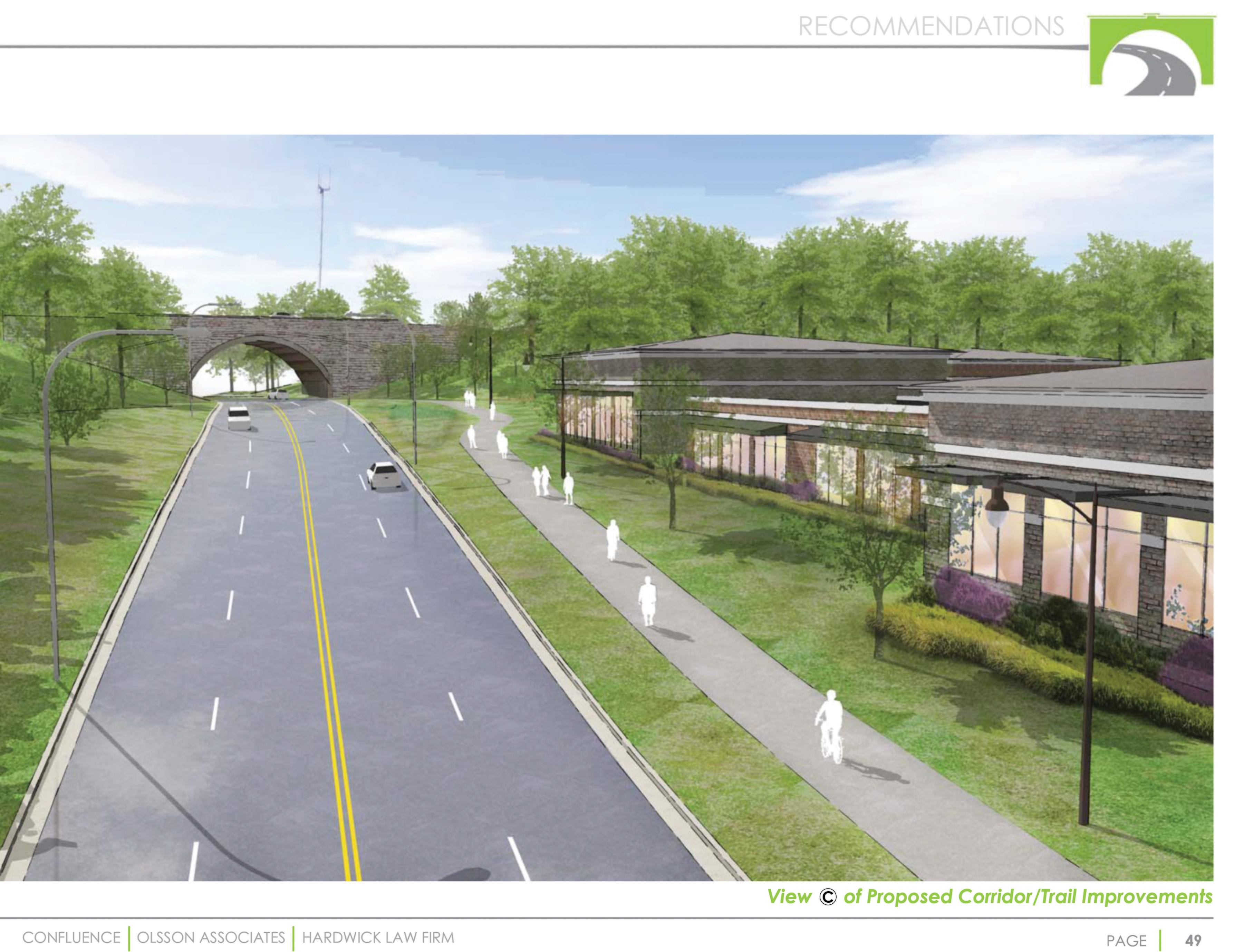 Truman Green Gateway Plan
Complete public facilities ensure a community’s ability to grow and prosper in a responsible manner. As Independence grows, we strive for efficient, reliable and fiscally sustainable public facilities to be built and maintained throughout the City to achieve a high quality of health, safety and welfare for all residents. As capital projects age and technology advances, improvement to public facilities will continue to provide the high quality of services our citizens have come to expect.
Increase quality — achieve livability, choice, access, health and safety through quality public infrastructure and facilities.
The City’s Strategic Plan, Independence For All, tracks progress in the area of facilities using the following measures.
Improve visual appearance of major commercial corridors and historic sites.
Improve condition and maintenance of public infrastructure and facilities.
Improve perception of safety.
Improve citizen satisfaction with City services and facilities.
Great communities have a variety of public facilities and infrastructure that provide valuable services and amenities to the people who live work and play there. Independence’s service utilities are provided through the City’s Water Department, Water Pollution Control Department (WPC) and Independence Power & Light (IPL).
The Parks, Recreation and Tourism Department manages the City’s parks and trails system. The Parks, Recreation and Tourism Department also manages the operation of the Sermon Center, the Palmer Center, the Truman Memorial Building, and Adventure Oasis.
The Public Works Department is responsible for approximately 1185 lane miles of roadway and adjacent right-of-way and 38 bridge structures. The Public Works Department maintains City streets and manages the City’s ongoing pavement assessment program and street improvement projects. The Streets Sales Tax is the City’s primary funding source for street maintenance projects. Consisting of a half-cent sales tax, it was created through voter approval, and will remain in effect until repealed by the voters. The Public Works Department also coordinates, maintains and upgrades the various facilities of the City.
Police and Fire Departments provide emergency services and manage public safety. Fire Department
Our vision is to create and maintain public facilities that are welcoming, sustainable and support our community’s ability to grow and prosper.
facilities consist of 10 Fire Stations. The City’s Fire Department coordinates and integrates all activities related to threatened or actual natural disasters, acts of terrorism, or other emergency events through the City’s all-hazard emergency management program. Police Department facilities include 1 Police Station and 3 Police Substations. The police station, originally constructed in 1972-73, is reaching obsolescence and is being considered for renovation or replacement.
IndeBus is the transit system that provides public transportation for residents in Independence, Missouri. Americans with Disabilities Act (ADA) paratransit services are available to anyone with a documented disability no matter where the individual lives. The service is available within ¾ mile of any local bus route offered by IndeBus in Independence, MO. The Metro Transit Center, located at the intersection of Truman and Noland Roads, is adjacent to City Hall and a short distance from Historic Independence Square. This facility, although owned by the Kansas City Area Transportation Authority, is maintained by the City through a cooperative agreement.
IPL maintains and operates 9 generating units, 14 major substations and more than 650 miles of power lines. Some of the electricity required to meet customer demand is generated by IPL with combustion turbine facilities and gas-fired steam units. The City purchases most of the energy needed to meet City demand from outside sources. In 2014, the Independence City Council adopted Resolution 5933 identifying the City’s goals for renewable energy. These goals include that 10% of City-generated electric energy to be from noncarbon-based sources by 2018, and 15% by the year 2021.
To this end, IPL operates a Community Solar Farm, in which IPL customers can participate to reduce energy costs. The solar farm currently generates 3 megawatts, with expansion to allow 11 megawatts approved by the City. In addition, the City plans to expand solar power generation on the former Rockwood Golf Course site. The City purchased the 94-acre property in 2017 and plans to develop a
portion of the property as a solar farm expected to generate 4-5 megawatts of additional power for IPL. Through its “Out of Sight” Underground Program, IPL works with homeowners to bury the electric line from the pole to the house. The “Out of Sight” Underground Program helps to enhance the aesthetics of residential property as well as to reduce the likelihood of power outages due to storms. IPL offers homeowners two options for burying the electric service line. With either option the cost falls primarily on homeowners. IPL also offers security lighting options for residents to enhance neighborhood safety. This is also paid for by the homeowner.
The City of Independence Water Department was established in 1883 to provide the citizens of Independence with safe, reliable drinking water. Water is supplied from wells located at the Courtney Bend Water Treatment Plant. The well water is softened and disinfected at the treatment plant, and meets or exceeds all federal and state quality regulations. The City of Independence Water Department supplies water to approximately 250,000 people, including residents of Independence and wholesale customers. The City’s water plant capacity is 48 million gallons per day. Overall water usage is decreasing due to the incorporation of more efficient water usage methods. The highest peak usage to date was 44 million gallons per day in 2012. In 2017, peak usage was 35 million gallons per day. Current usage is about 27 million gallons per day.
The City wholesales half of its current usage to other cities/districts. If needed, the City is able to limit the amount of water it wholesales by contract. Because of this, water restrictions are rarely imposed on Independence residents. Instead, the City limits the wholesale amounts that are sent to other jurisdictions.
Independence has separated storm and sanitary sewer systems. The Storm Water Division is responsible for the capital improvement program, the pollution control program, and the maintenance and repair of the storm sewer system. There are over 300 miles of storm sewers in Independence
and approximately 12,000 storm water structures, such as curb inlets and culverts. The Sewer Maintenance Division is responsible for the maintenance and repair of over 578 miles of sanitary sewers and over 12,000 manholes. Service is both preventive and corrective. Approximately 25 million gallons of wastewater are carried through the sanitary sewer lines each day for treatment at a wastewater facility.
In order for communities to thrive, they must be sustainable. This means that Independence will need not only to maintain existing public facilities and amenities but consider expanding and/or improving them to ensure Independence is truly a livable community. The Capital Improvements Program (CIP) currently illustrates a commitment to maintaining or repairing existing facilities and infrastructure. In order for communities to thrive, they must be sustainable. This means that Independence will need not only to maintain existing public facilities and amenities but consider expanding and/ or improving them to ensure Independence is truly a livable community. Participants in the Independence Comprehensive Plan public input survey indicated strong support for livability factors such as complete streets, transportation options for non-drivers and improved connections to neighborhood parks, areas of special interest and natural amenities. The Kansas City Community For All Ages plan recommends the implementation of these strategies to support the long-term viability of first-tier suburbs. Independence currently has a bronze Community of All Ages designation and desires to improve.
Pedestrian facilities are safe and accessible, connect neighborhoods, parks, employment centers, attractions and natural areas and provide an alternative to the automobile. Public transportation is reliable, provides access to jobs, key attractions and services and includes routes and schedules that meet residents’ needs.
Facilities meet the needs of persons of all ages and physical ability in the community.
Development decisions are based on making the best use of existing infrastructure and preserving natural resources.
Connected
Balance open space and environmental preservation with the community’s development needs.
Provide physical accessibility throughout the City.
Distinctive
Promote principles of good urban design as part of all development.
Connected
Support existing and expanded use of community facilities as “third places” where residents of all ages can connect with programming and services, volunteer opportunities and opportunities for civic engagement.
Build community gatherings places within walking distance of neighborhoods.
Design local streets to accommodate pedestrians, bicycles, users of all ages and persons with disabilities.
Work with transit providers to improve public and special transit services for older adults. Work with special transportation providers to ensure Independence residents are aware of specialized services.
Support the convenient and safe multi-modal access to jobs and services.
Promote alternative modes of transportation for nondrivers including, car sharing, bike sharing, Uber, Lyft and volunteer driver programs.
Encourage expansion of commercial opportunities in existing commercial corridors or centers that minimizes the number and length of car trips.
Link neighborhoods and activity centers with bike facilities and trails showcasing public art (Truman Library, the National Trails Museum, Englewood Arts District and the Truman Sports Complex)
Connect the City’s bike/trail system together and to regional systems such as Little Blue Trace and the Rock Island Trail.
Invest in major corridors with streetscape improvements, public art, green space, burial of utility lines and upgraded intersections consistent with complete streets policy.
Ensure street maintenance, repair/replacement and drainage projects are addressed regularly and with coordination between City departments.
Consider expanding the City’s “Out of Sight” program to include non-residential property owners to promote burial of utility lines along major corridors.
Incorporate enforcement of City’s signage regulations into corridor beautification projects.
Consider proactive code enforcement, either ongoing or through periodic “clean sweeps” to improve the appearance and long-term viability of properties along major corridors.
Encourage expansion of commercial opportunities in existing commercial corridors or centers with adequate transportation, sewer and water infrastructure to support growth.
Create welcoming public buildings and grounds that are constructed to last, integrate with surrounding architecture, and also function as a community gathering space. Should existing city hall be reconstructed at the existing location, it should be designed to integrate with Independence Square and not block visibility from the street intersections.
Remove barriers for persons with disabilities at citywide facilities, activities and programs
Regardless of mobility level design infrastructure to make moving around the City easier and more convenient
Design buildings, streets, and landscaping to improve public safety. Consider Crime Prevention Through Environmental Design (CPTED) policies that maximize visibility and eyes on the street.
Ensure that high quality developments are well planned and connected to existing development through the efficient use of streets, utilities and infrastructure.
Consider expanding the City’s public art requirement .
Reinvest in renewables, storage and microgrid technologies to help Independence become the greenest community in America.
Policy Documents and Plans
Midtown/Truman Road Corridor 353 Development Plan
www.indep.us/MTRPlan
Noland Now Revitalization Plan
www.indep.us/NolandNowPlan
Northwest Independence Sidewalk Health Impact Assessment
www.indep.us/NWISHIA
Truman Road Green Gateway Plan
www.indep.us/TrumanGatewayPlan
Truman+Winner Road Plan
www.indep.us/TrumanWinnerPlan
US 40 Highway Corridor and Focus Area Plan
www.indep.us/40HwyPlan
Rock Island Plan
http://marc.org/Environment/MetroGreen-Parks/ Current-Projects/Rock-Island-Corridor-Coalition
Metro Green
http://www.marc.org/Environment/MetroGreenParks/The-Plan/Action-Plan

Our vision is to promote and maintain quality neighborhoods and a safe, family-friendly community with cultural diversity to make Independence, Missouri a nationally recognized City with a unique sense of history and place.
The City of Independence adopted its strategic plan, Independence for All, in 2017. The Land Use section will guide the City’s future land use decisions in order to ensure implementation of the strategic plan’s Building Blocks. While the strategic plan will be updated every year, this plan provides policies intended to guide City staff, elected officials and the community over the next 20 years.
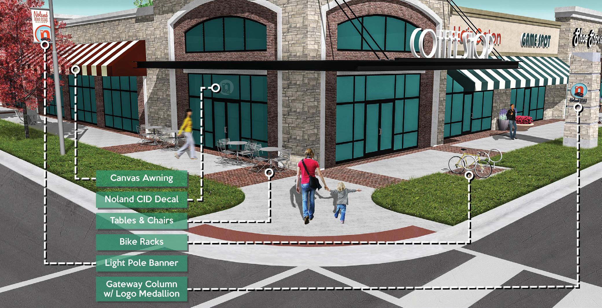
Land Use addresses factors affecting the physical development of a city, including the satisfaction of human needs, the vitality of the local economy,
the protection and enhancement of the natural and built environment and the efficiency of public infrastructure and service provision. Urban design establishes a context for development in response to the community’s desired image. While new development is encouraged, short term benefits must be weighed against long term impacts to the community’s quality of life. Land use and urban design decisions will always affect the future in significant, and sometimes irreversible, ways. It is incumbent that a land use plan balances the need for growth with the protection of existing community assets.
Guiding Principle
Protect and enhance the viability, livability and affordability of the City’s residential neighborhoods while integrating multifamily development throughout the community.
Policies:
1. Promote inclusive and economically integrated neighborhoods that allow a diverse mix of residents and housing types.
2. Promote a range of housing options throughout the community.
3. Encourage connecting neighborhoods with greenbelts, trails, commercial centers, and public facilities.
4. Encourage preservation of historic and visual character and function of established neighborhoods, while protecting them from incompatible adjacent development.
5. Encourage protection of existing residential areas from encroachment by incompatible development.
6. Support providing neighborhood amenities throughout the community in an equitable manner.
7. Support preservation of the environmental quality of residential areas and buffer from noxious or nuisance impacts.
Guiding Principle
Ensure that opportunities for convenient and concentrated commercial development are provided to support both the local and regional market.
Policies:
1. Support protection of the Independence downtown commercial areas and encourage continued reinvestment and redevelopment.
2. Encourage expansion of commercial opportunities in existing commercial corridors or centers where infrastructure can support growth.
3. Promote opportunities for neighborhood commercial centers that assure compatibility with residential property.
4. Support preservation of historic and aesthetic character and function of established commercial districts.
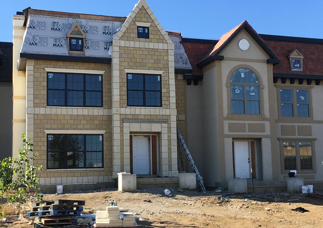
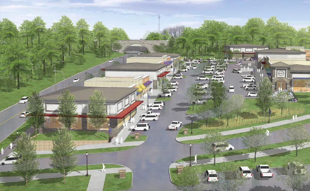 Townhomes under construction near Independence Square
Guiding Principle
Encourage that the physical character and form of the City reflects its historic setting and that the built environment is compatible with the City’s natural environment.
Guiding Principle
Provide sufficient opportunities for industrial development sites within the community and promote diversification of the City’s commercial/industrial base.
Policies:
1. Promote the retention and expansion of existing, and attraction of new, industrial development opportunities in suitable locations.
2. Encourage mitigation of negative impacts to residential areas located near industrial areas through adequate buffering, appropriate lighting and attractively designed sites.
3. Limit the location of locally unwanted land uses (LULU’s), such as scrap reprocessing, junk and salvage yards, quarries, recycling industries, and concrete batch plants.
Guiding Principle
Balance open space and environmental preservation with the community’s development needs.
Policies:
Policies:
1. Consider defining and enhancing City gateways and focal points to create a sense of place.
2. Promote protection and preservation of the City’s historic buildings and urban pattern.
3. Promote quality in the design and construction of new public and private development.
4. Promote retail and service-oriented businesses on first floors to keep streets active, with non-service/office uses on second floor, and residential uses on upper floors in the downtown area.

1. Encourage protecting and preserving existing open space and park land to meet the community’s needs.
2. Encourage expansion of urban green spaces in suitable locations to encourage livability and enhance aesthetics.
3. Encourage parks, green space, trails and similar park/open space uses easily accessible to residents at neighborhood level.
4. Encourage incentives for providing common open/green space and landscaping into all new development when possible.
Guiding Principle
Encourage the concept of mixed-use development to create diverse and selfsufficient neighborhoods.
Policies:
1. Promote a compatible mix of land uses that create a diversified urban environment that mixes shopping, employment, recreation, and residential opportunities where appropriate.
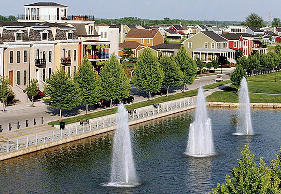
2. Promote sufficient buffering and protection of incompatible uses from each other.
3. Consider limiting sprawl and aggregate travel time through use of mixed-use developments.
4. Promote incentives to bring mixed-use to the downtown and other commercial areas.
5. Encourage a mixed-use of residential, commercial and retail uses for new developments that does not define boundaries between residential and those commercial/ retail uses that provide less intense, basic services for the neighborhood.
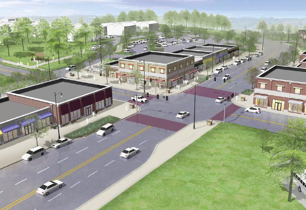
6. Encourage design review to address how mixed-use developments are treated and to require quality development so they become more acceptable to developers and business owners and more sensitive to neighborhood concerns and impacts.
Foster redevelopment opportunities within the City to revitalize unused or underused property.
Policies:
1. Encourage redevelopment or adaptive reuse of vacant or underutilized buildings and sites.
2. Promote in-fill development, where appropriate, to support more compact urban form and avoid needless and costly sprawl.
3. Promote redevelopment that maximizes existing infrastructure.
4. Strive to eliminate slum and blight.
5. Promote affordable commercial space for small startup, new or growing businesses.
6. Encourage reinvestment in our existing neighborhoods.
7. Adapt retail sector to marketplace trends.
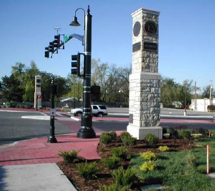
New Town at Harmony DevelopmentConnect activity centers and neighborhoods with bike facilities/trails - showcasing public art.

Guiding Principle
Provide physical accessibility throughout the City and connect people to places.

Policies:
1. Encourage and facilitate urban accessibility by walking, cycling, public transit and auto.
2. Support new development concepts that, by design enable people to walk to work, school, day care, shopping, and recreation.
3. Facilitate, where possible, enhanced accessibility.
4. Connect activity centers and neighborhoods with bike facilities/trails - showcasing public art.
Guiding Principle
Establish and maintain housing, transportation, communication and utility systems which support and foster quality development.
Policies:
1. Promote principles of good urban design as part of all development.
2. Support enhancement of the aesthetics of new and existing development -- design, landscaping, parking, signage -- with special sensitivity to the historic character and building materials found in the community.
3. Encourage environmentally compatible and sensitive design that fits the development site.
4. Promote energy conservation efforts in building design, materials, and orientation.
5. Promote land conservation practices in density and building patterns to encourage compact urban form.

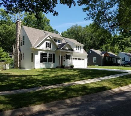
6. Encourage flexible development that promotes commercial development to meet community design standards.

7. Promote land use controls to fit the various historic development patterns and the character of neighborhoods throughout the City.
8. Strive to create and redevelop buildings which complement the size and style of surrounding buildings.

The Neighborhood land use category are existing residential areas that will be preserved and enhanced over time, areas that are emerging as neighborhoods, or areas planned to be a neighborhood in the future. Neighborhoods include a mix of single family detached homes, attached homes, townhomes, condominiums, and multi-family. Neighborhood serving commercial developments, parks and civic uses are also common in neighborhoods. The character of existing neighborhoods should be protected when new development is proposed in order to preserve the quality of life for existing residents. Western Independence (west of Noland Road) has the most mature neighborhoods, some going back to 1800’s through the first half of the 20th century. There is a range of residential density from small singlefamily lots of approximately 5,000 square feet to quarter acre lots in newer areas in southwest Independence and parts of central Independence.
Newer developments occurring in the postWorld War II era include larger lot development of 4-5 units per acre. Eastern Independence has a combination of established neighborhoods and adequate space for new development. New neighborhoods should offer a range of densities, although there are locations where the density is lower along with medium and high density multifamily developments that blend in with surrounding single-family and Mixed-Use development. All Neighborhood areas include high-density multifamily development, medium density townhome and duplex development as well as pockets of local commercial activity. Neighborhoods are in close proximity to parks, neighborhood commercial developments and centers. Housing types, though different, are designed to relate to each other to create vibrant and cohesive streetscapes. Existing Neighborhoods may not yet have a complete walkable layout of streets that connect throughout the neighborhood and adjacent developments for seamless transitions. It is necessary to identify where there are gaps in sidewalk connections and identify funding sources for their installation over
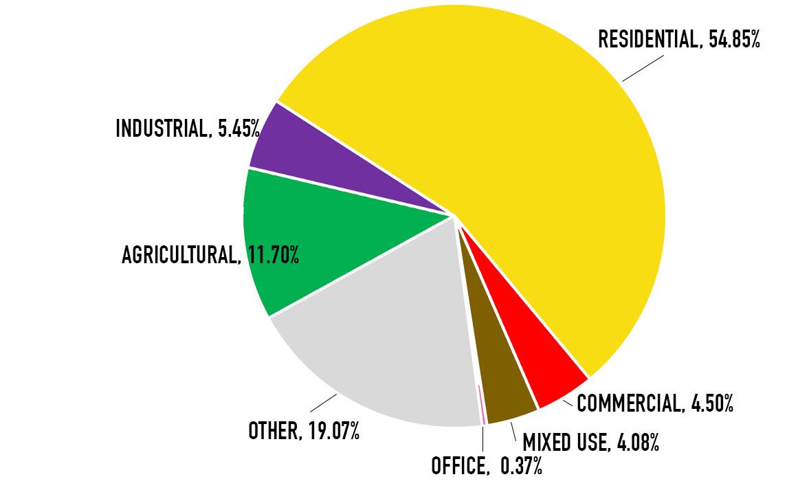
EXISITING LAND USE - % OF TOTAL LAND 2040 FUTURE LAND USE - % OF TOTAL LANDFuture land use in 2040 projects more industrial and mixed use development which aligns with the community’s vision and goals.
time. New neighborhoods should have a walkable layout with streets that connect in a logical manner throughout the neighborhood and to adjacent developments for seamless transitions. The street and sidewalk system should be designed to safely accommodate pedestrian, bicycle, transit and vehicular transportation modes.
It is the intent of this Plan to preserve this mix of home types and density levels currently in place. Infill activity should aim to blend into the character of the existing building types so as to avoid glaring or jarring contrasts between buildings in both style and scale.
The Urban Neighborhood land use category is located in close proximity to downtown Independence Square, the Englewood Business District, the Maywood District and the Fairmount Neighborhood District. They are residential areas anchored by a neighborhood shopping and dining district that are ideal for residents who wish to live within walking distance to employment or entertainment uses in a business district. These neighborhoods mix existing homes with infill housing and include a range of densities that provide for a diverse range of housing types. Urban residences typically have smaller yards or shared open space areas. Buildings are scaled and sited with an emphasis on pedestrians to create a streetscape suited to regular walking and bicycling trips. These neighborhoods use a connected, pedestrian oriented street design that supports transit service.
The Mixed-Use land use category is intended to accommodate a mix of medium-and high-density housing and complementary office, commercial and institutional uses that have, or will have, sufficient public utilities. Established areas in Independence include the Independence Square, Englewood Business District, the Maywood District and Fairmount where the presence of public utilities and a sufficient population base allows the development of pedestrian-oriented, mixeduse development. The Mixed-Use category can be arranged in different patterns including a) vertical mixed-use buildings; b) horizontal mixed-use blocks;
and c) mixed-use walkable neighborhoods. The pattern will depend on the existing and historical development pattern of the area. Mixed-use can also occur in new areas such as the developing ‘New Town’ in eastern Independence.
The Neighborhood Commercial land use category is intended to provide convenient shopping opportunities for the daily needs of nearby residential areas. The category, designed for small to moderate scale commercial activity is intended to contain urban design elements compatible with adjacent neighborhoods. They serve residential neighborhoods within a roughly one-mile radius, offering shops, restaurants, studios, small offices and other services that residents typically visit an average of one to three times per week. In some cases, the Neighborhood Commercial land use category may include a grocery store or supermarket. The physical layout should aim toward ‘node’ or ‘center’ clusters around an intersection of an arterial or collector street, rather than a ‘corridor’ (strip design), and should be easily accessed by walking, bicycling and by transit. If such access is currently not available, efforts should be made to provide pedestrian and bicycle connections to the commercial area. Building footprints in this category is generally less than 30,000 square feet (grocery store exception) on sites ranging up to 10 acres. Parking is less prominent than pedestrian features. Open space is encouraged where possible and there is an emphasis on enhancing the pedestrian experience.
The Community Commercial land use category offers a mix of retail, restaurants, office, personal services and residential uses with a building(s) footprint from 30,000 square feet up to 400,000 square feet, and are intended to serve surrounding neighborhoods within a 1 to 3 mile radius. They are smaller than Regional Commercial centers drawing customers from the local community. They may include office and residential uses, which may be located above ground floor commercial businesses. Such centers are more
likely to include a supermarket along with general merchandise with a wider range of goods than the Neighborhood Commercial category and contain businesses that are needed less frequently. Community Commercial areas often have two or more anchor tenants that could include a discount store, supermarket or large specialty discount store. Community Commercial centers are more auto and transit oriented than Neighborhood Commercial areas. However as redevelopment occurs, pedestrian, bicycle and trail connections to surrounding neighborhoods are important elements to include where possible. Community Commercial centers are developed on sites from 10 to 40 acres.
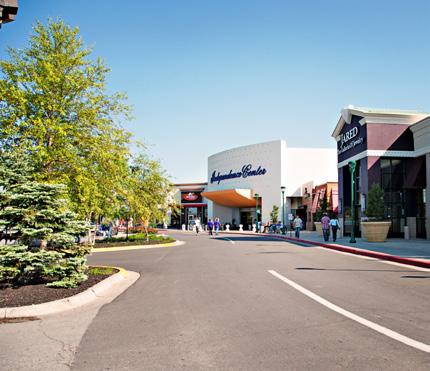
The Regional Commercial land use category includes major commercial areas with a variety of large format retailers, restaurants, offices and services. They are located along arterial streets and state highways near interstate interchanges and draw local residents as well as users from surrounding communities up to 70 miles away. Regional Commercial areas are often commercial in use, though they may include a mix of employment and residential uses. Anchor tenants often include full-line or junior department stores, discount stores, or other similar mass merchandisers. Independence has one very large regional center, Independence Center, as well as surrounding developments including Independence Commons, Bolger Square, and Hartman Heritage in southeast Independence. While Regional Centers typically have an emphasis on automobile traffic, it is desirable they be designed (either through retrofitting or building new) to provide connections within the area making it easier to access all parts of the area through a variety of transportation modes (pedestrian, bicycle, transit and vehicular). Regional Commercial areas should be greater than 40 acres and feature building foot prints in excess of 400,000 square feet.
The Office land use category includes a range of office types including the traditional office building used for the conducting of business where little or no sale of products, manufacturing, or warehousing occur. These buildings include both campus type development as well as single buildings and could include both single and multiple tenants.
The category could also include limited research and development activities, manufacturing or assembly with little or no sale of products. Examples may include medical research spaces, bioscience, technology, or product development testing. Research and Development uses vary widely in terms of what they do, in some cases they are predominantly office with minimal lab or production space, and in others they are more industrial in nature. Settings may range from campus-like business parks to single-use buildings. These uses are similar to those found in the Light Manufacturing land use category and may include one or the other designation depending on the context of surrounding land uses.
The Business Park land use category includes manufacturing, transportation and wholesale activities, office and research facilities, and limited retail and services. Most activities (except for limited outdoor display) take place within enclosed buildings. This category will apply to industrial parks as proposed in the land use plan. This land use category will have restrictions on outdoor activities and will include buffering from adjacent areas with less intense land uses.
The Industrial land use category includes manufacturing, limited office, research, retail and service activities. This category may encompass a broad range of intensities and activities, including uses with outdoor activities and the potential for external impacts such as odors, noise and vibration during all parts of the day and night. Adequate and often extensive buffering should be provided and maintained from less intense land uses.
At this time, the Industrial land use category is limited to the Lake City Army Ammunition Plant in eastern Independence. It is the intention of this Plan to protect the plant from encroachment of adjacent land uses as the plant has been in operation since World War II. Adjacent land uses should be aware that the by-product of Industrial uses will likely not be compatible with other land uses.
The Civic/Public land use category includes government buildings, land and libraries. They are typically public or semipublic in nature. In addition to their primary use, they provide gathering spaces, recreation spaces and opportunities for residents to interact. When located in neighborhoods or commercial centers, the design and layout of facilities should connect with the surrounding areas by providing pedestrian, bicycle, transit as well as vehicular connections where possible. Smaller facilities should be located within, or adjacent to residential areas with multi-modal access (pedestrians, bicycles, transit and vehicles) is provided.
The Community Attraction and Tourism land use category complement the public park and recreation system by offering recreation and entertainment facilities that may not otherwise be available. Community attractions include historic sites, the Silverstein Eye Center Events Center, golf courses, indoor and outdoor sports fields, gymnasiums, tourist destinations including the Vaile Mansion, Bingham Waggoner Estate, National Frontier Trails Museum, the Truman Home, the Truman Library and Museum, the Community of Christ campus and other noteworthy tourist destinations. They are typically large in scale, and could be privately owned or sponsored. Some of the sites within this category may have historical significance and enjoy a national reputation in that they attract visitors from the region and beyond.
The Parks land use category includes both active and passive parks, trails and open space. For purposes of this plan, the term ‘Open Space’ will be used throughout the document as the name of this land use category. Included are public parks, outdoor recreation facilities, state operated nature preserves, such as George Owens Nature Park, County park land such as the Little Blue Trace Trail, natural resource protection areas and other privately owned open space throughout the City. Schools, churches and civic institutions may incorporate open space into their developments, however this land use plan will defer to the primary land use when depicted on the land use map.
The Agricultural land use category aims to retain agricultural character and support farmers who wish to maintain and expand agricultural activities as the primary use. Typical agricultural uses are row crops, horticulture, orchards, cattle grazing, poultry and wooded areas. Residential use should be limited to supporting agricultural purposes, such as subdividing one lot for a family member who is participating in the farming enterprise. Minimum lot size is ten acres.
In Independence, the Agricultural land use is located in far northeast part of the City and is north of the Army Ammunition Plant, a Heavy Industrial land use that has been in place since World War II. The subdivision of land within this land use category should be done with full knowledge that the Heavy Industrial land use is existing, and is entitled to environmental nuisances including noise, odors and vibrations at all times of the day and night.
MAPS
• Future Land Use
• Annexations
• Stream Orders in Independence
• Thoroughfare Plan
• Overlay map - Current Plan Areas


