


The Geomatics Team offer highly developed technical solutions to support all your survey needs.

Arrange your next survey with a Quick Quote from our experts.
Organisations we have supported


The Geomatics Team offer highly developed technical solutions to support all your survey needs.
Arrange your next survey with a Quick Quote from our experts.
Organisations we have supported
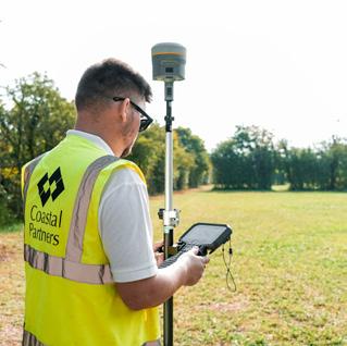
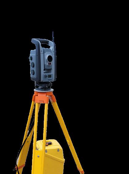
Highway & Infrastructure Topographic Surveys
• 2D & 3D Topographic Detail Surveys & Mapping
• Drainage Inspections & Drawings
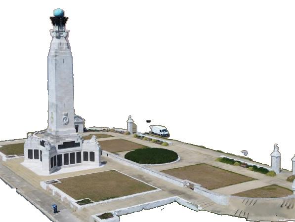
• Laser Scanning
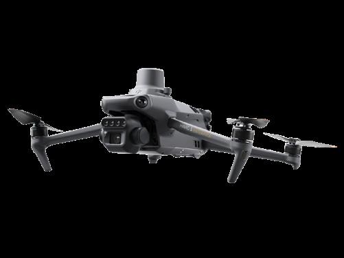
• UAV Photogrammetry 3D Mapping & Modelling
• Reality Capture & Digital Twin
• BIM (Building Information Modelling)
• 3D Visualisations
UAV Aerial Photography
• Geo-rectified Orthomosaic Aerial Images
• Oblique / Nadir Images
• UAV Aerial Photography / Videography
UAV Building & Asset Inspections
• Roof Surveys
• Bridge Surveys
Measured Building & Architectural Surveying
• Floor Plans
• Elevations
• Sections
Construction Site Surveys
• Setting Out
• Monitoring & Audit
• UAV Aerial Photography/Videography
• UAV 3D Mapping & Modelling
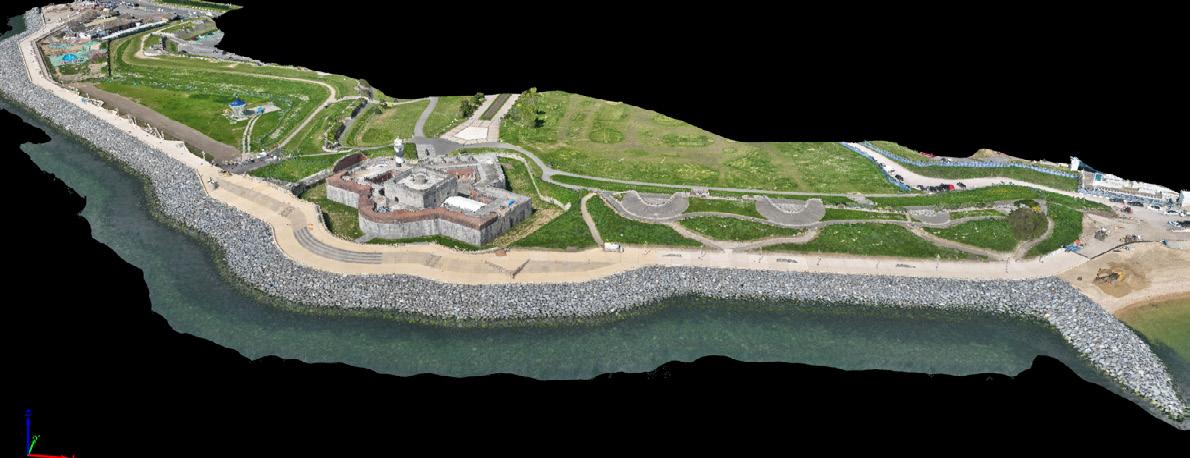
Coastal Monitoring Surveys
• Digital Ground Models
• Volume Calculations
• Difference Plots
• Cross Sectional Analysis
GIS Mapping Solutions
Hydrographic Surveying
• USV (Unmanned Survey Vessel) Surveys

Land Movement & Structure Monitoring
Level & Position Cliffs Landslips
Heritage & Preservation Surveys