


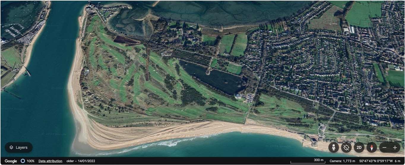
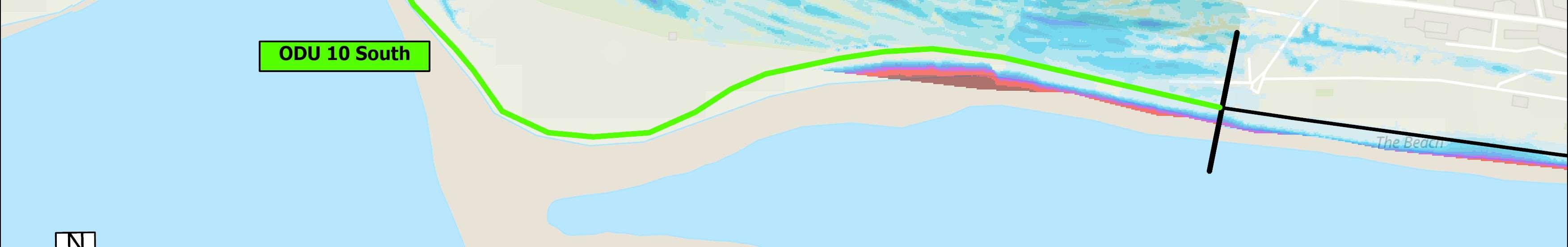
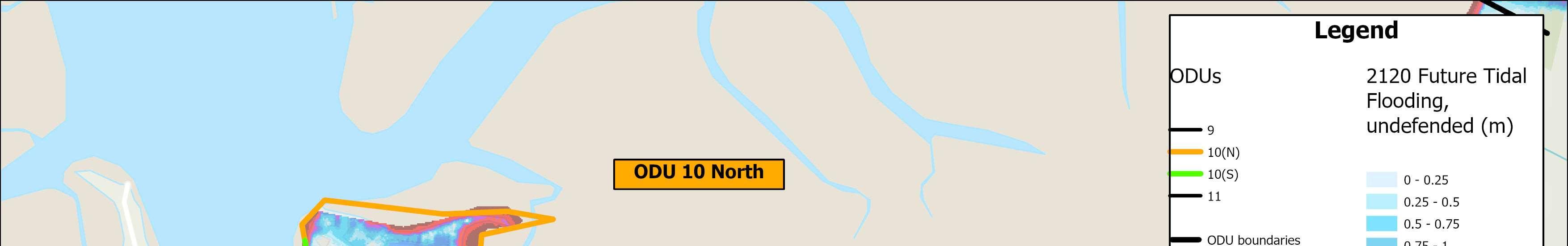
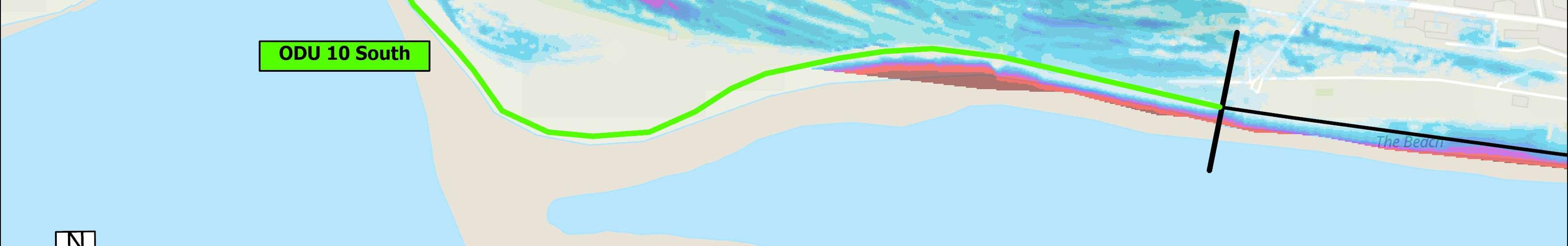
ODU10extendsbetweentheInnontheBeachandNorthShoreRoadandhas beensplitintonorthernandsouthernsections.Thehighenergyopencoastto thesouthisbackedbynaturalduneandmaritimegrasslandareasandinplacesis anaccretingcoastline.Thewesternandnorthernpartoftheunitcoversthe harbourentranceandshelteredcoastlinetothenorth.
Thelarge,undefendedopencoastsouthernfrontageincludesWestBeach,the naturalduneareaofSinahCommon,privategolfcourses,asailingclubandcar parks.TheDraftHBCLocalPlanidentifiedtheopportunityforregenerationat WestBeachnotingtheabundanceofenvironmentaldesignationsinthelocality.
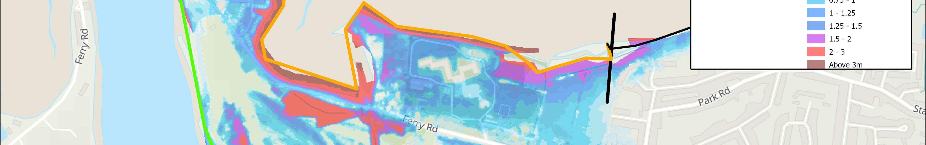
Thenorthernharbourfrontageincludesbusinesses,theferrycrossingtoEastney, aboatyard,slipways,FerryRoad,theresidentialcommunityattheKench,the Kenchnaturereserveandaholidaycomplex.
TheopencoasttothesouthisenvironmentallydesignatedasaSAC,whilethe naturalduneandmaritimegrasslandonSinnahCommonisdesignatedSSSI.The intertidalHarbourareaborderingthisfrontageisenvironmentallydesignatedas SSSI,Ramsar,SPAandSAC,andthereisaLocalNatureReserveattheKench.
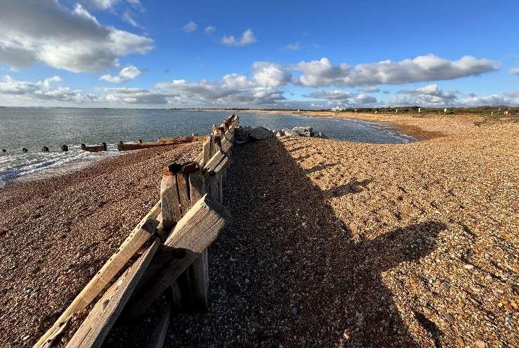
Thesouthernunitisstrategicallyreliantontheimplementationofnew adaptablecontrolstructuresinthevicinityofInnontheBeachtocontrolthe movementofsedimentandallowbeachmanagementacrosstheentireopen coastofHaylingIsland.Currently,theshortsectionoftimberrevetmentand rocktothewestofInnontheBeachismonitoredbyHavantBoroughCouncil whiletheremainingfrontagearoundGunnerPointisundefended. Ad-hocdefencesalongthenorthernfrontageareprivatelyownedand maintained,mainlyconsistofconcretewalls,blockworkandembankments andhaveresiduallivesofbetween10and20years.Thecommunityatthe Kenchprivatelyownsandmaintainstheirowndefencesandareactively planningadapttoclimatechangerisksinthefuture.
HoldtheLineforthenext100years,withanintenttoallownatural processestocontinuearoundGunnerPoint.
Theriskinthesouthisprimarilyfromwaveovertoppingandcoastalerosion,butareasofSinahCommonalso naturallyaccretearoundGunnerPoint.Thereisariskoftidalfloodingfromtheharbouralongthenorthern frontage.Thereareexpectedtobe53propertiesatriskoferosionand95atriskoffloodingoverthenext100years ifundefended,ofwhichmostaresituatedintheNorthoftheODU.
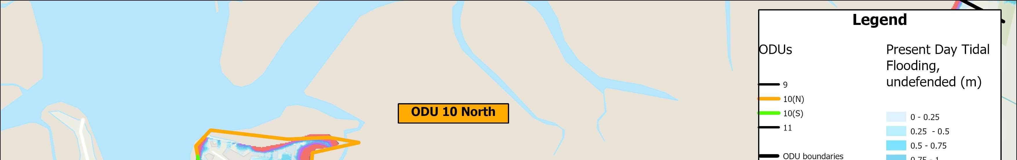
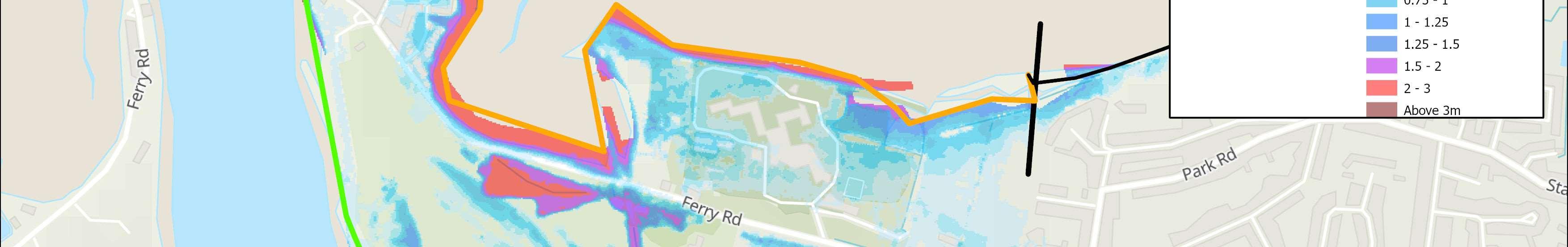
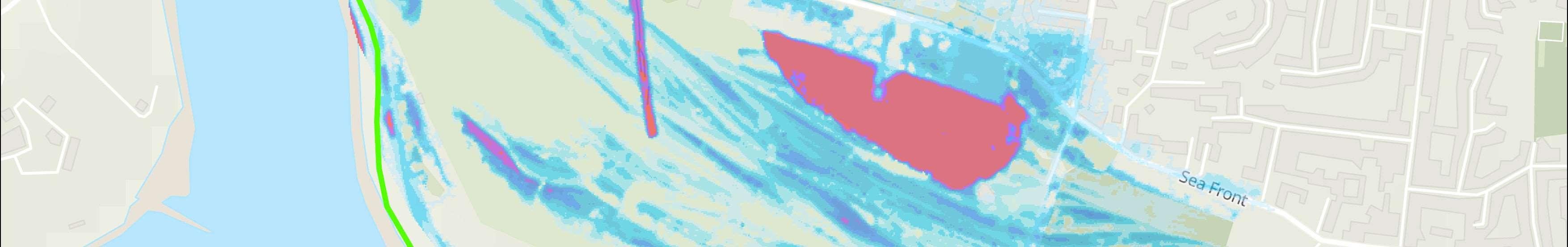
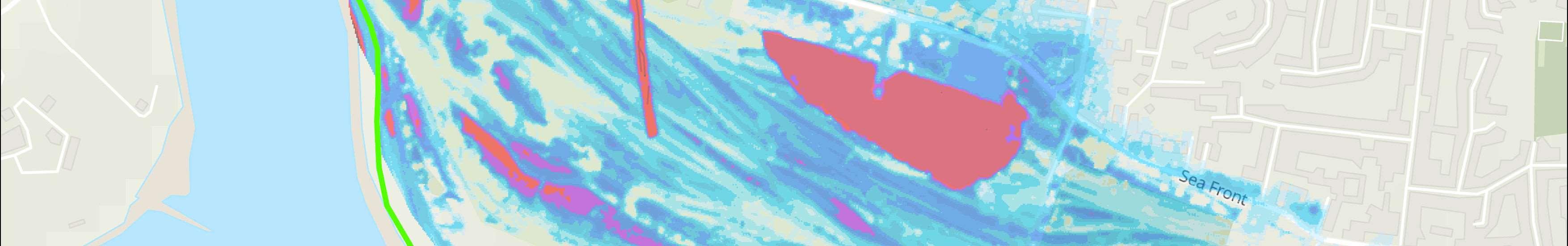
Themapsbelowshowthemodelledextentanddepthsofanextremetidalfloodevent(1in200year,0.5%annual probability),withoutanydefences,todayandin100years,allowingforsealevelrise.
Erosionrisk
Numberofpropertiesatrisk,withnodefences
Tidalfloodrisk
Numberofpropertiesatrisk,withnodefences

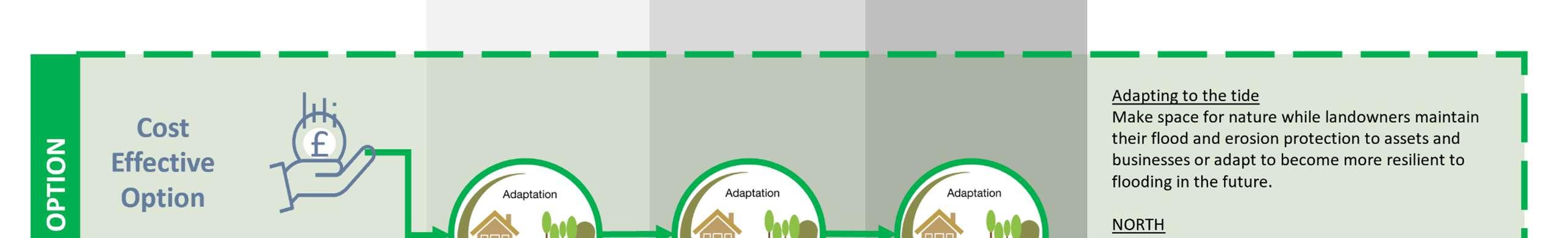
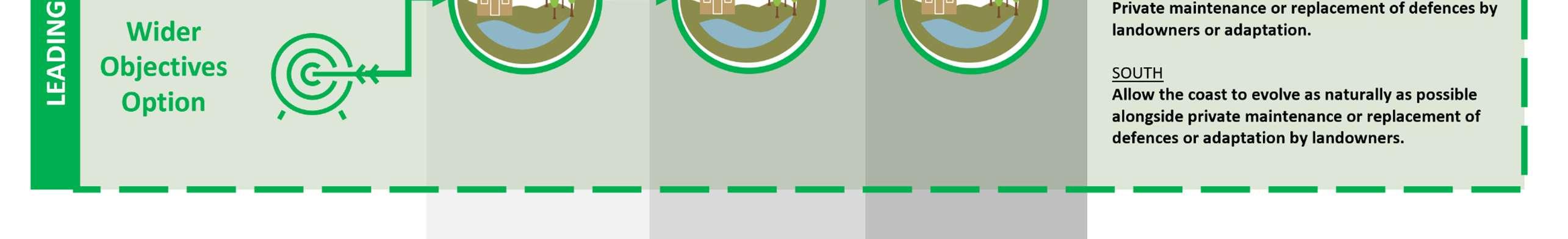

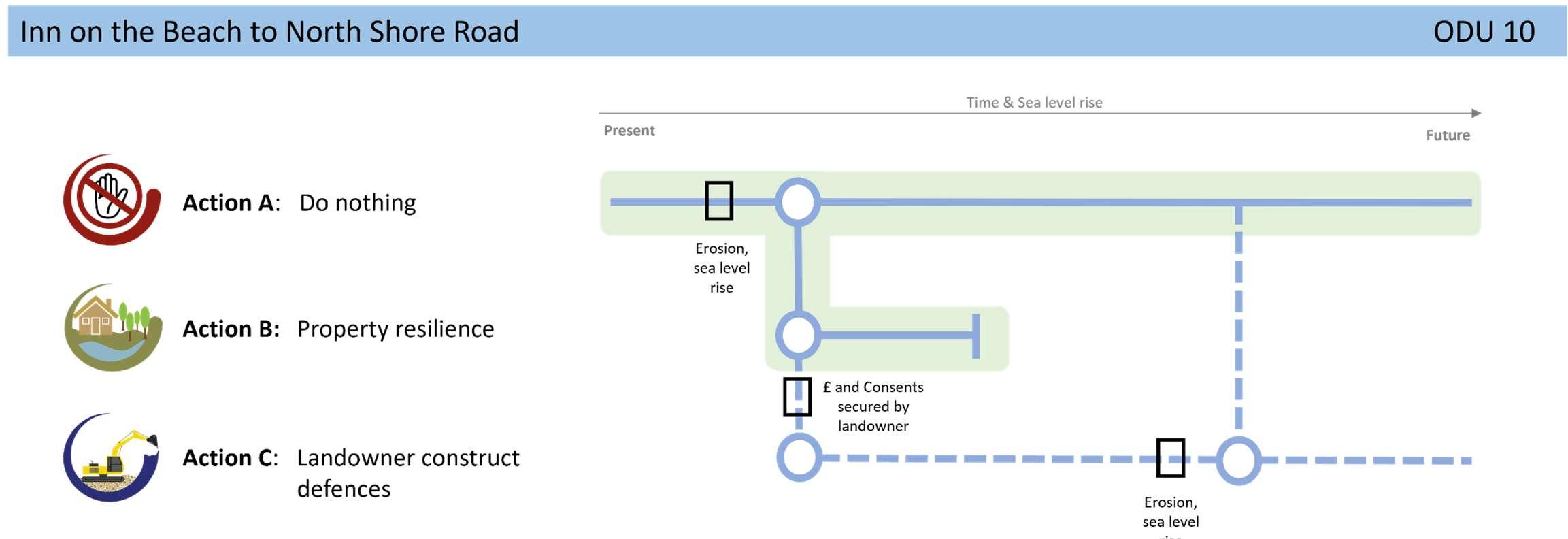
Throughouttheunit,theintentisforadaptationofassetsto becomemoreresilienttoclimatechangeimpactsinthefuture,ina managedway,alongsidenaturalevolutionoftheopencoast shorelinetoimprovepublicopenspaceandenhancethenatural environment.Acollaborativeapproachbetweenalllandowners andstakeholderswillberequiredtobalancethecomplexneedsof thecoastlinehere.Iflandownersdowishtocontinuetomaintain (andfund)theirdefencesinthefuture,theywillneedtoobtainthe relevantlicencesandconsentsfirst.
Aholisticenvironmentalmanagementplanforthisareaasidentifiedin theStrategy’sshorttermactionplanisunderway.Dialoguewithkey stakeholdersandlandownerswillcontinueregardingthemanagement optionsforthisfrontage.