


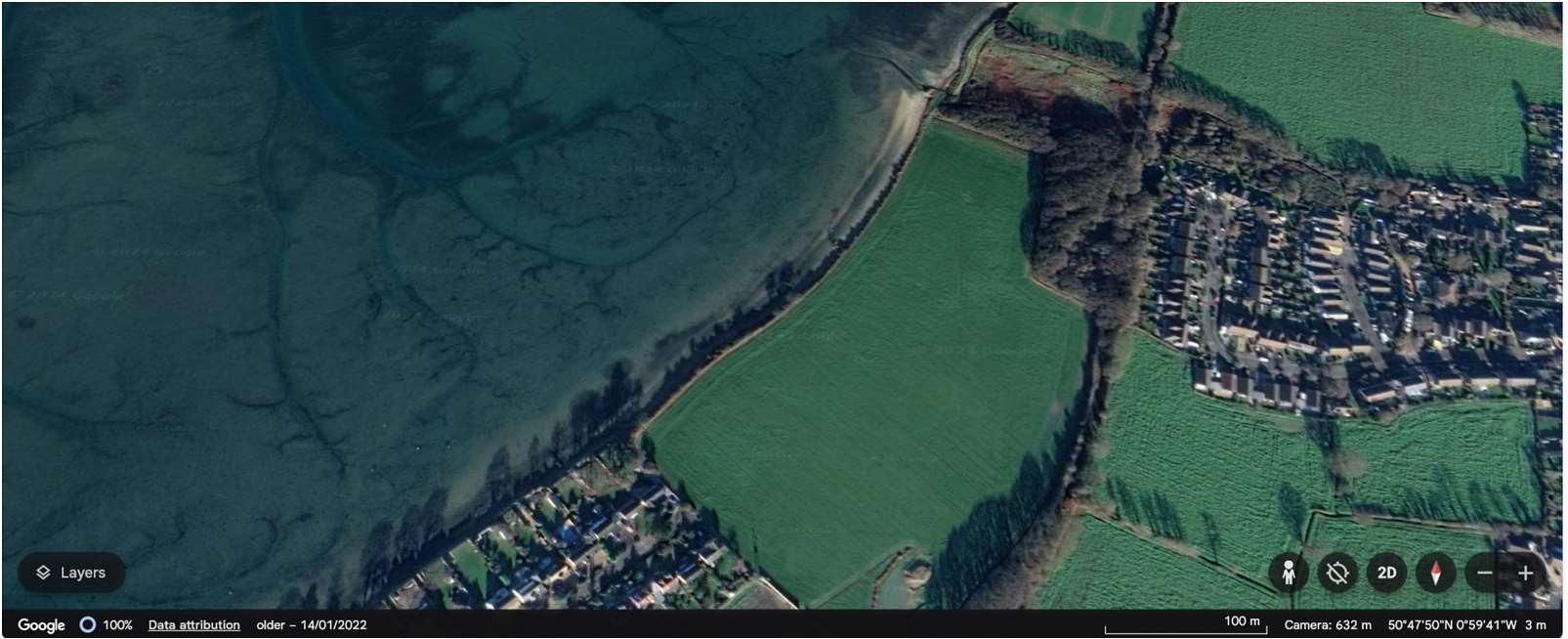
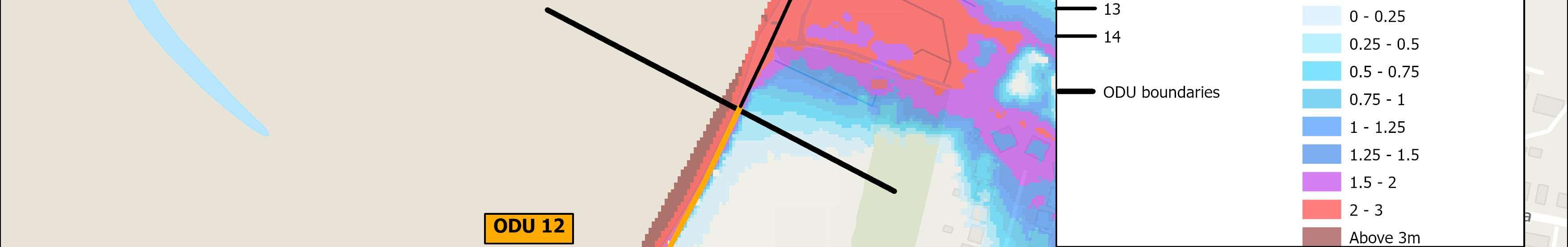
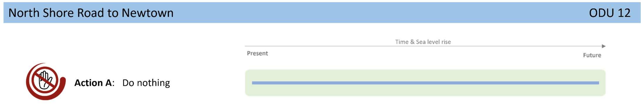
ODU12extendsfromNorthShoreRoadtoNewtown.Thisunitisasmall sectionofundevelopedandundefendedcoast,characterisedbyprivately ownedagriculturallandimportantforbirds,beingidentifiedasacoreareain theSolentWadersandBrentGooseStrategy.
ThewidelyusedHaylingBillyTrailandHaylingBillyLocalNatureReserveare setbackfromthecoastinthislocation.ACoastalChangeManagementArea hasbeendesignatedhere,throughtheHavantBoroughCouncilLocalPlan,to preventinappropriatedevelopmentfromtakingplacethatmaybeatriskfrom futureerosion.
Environment
Theintertidalareaadjacenttothisfrontageisheavilyenvironmentally designatedasaSSSI,Ramsar,SPAandSAC.
ShorelineManagementPlanPolicy
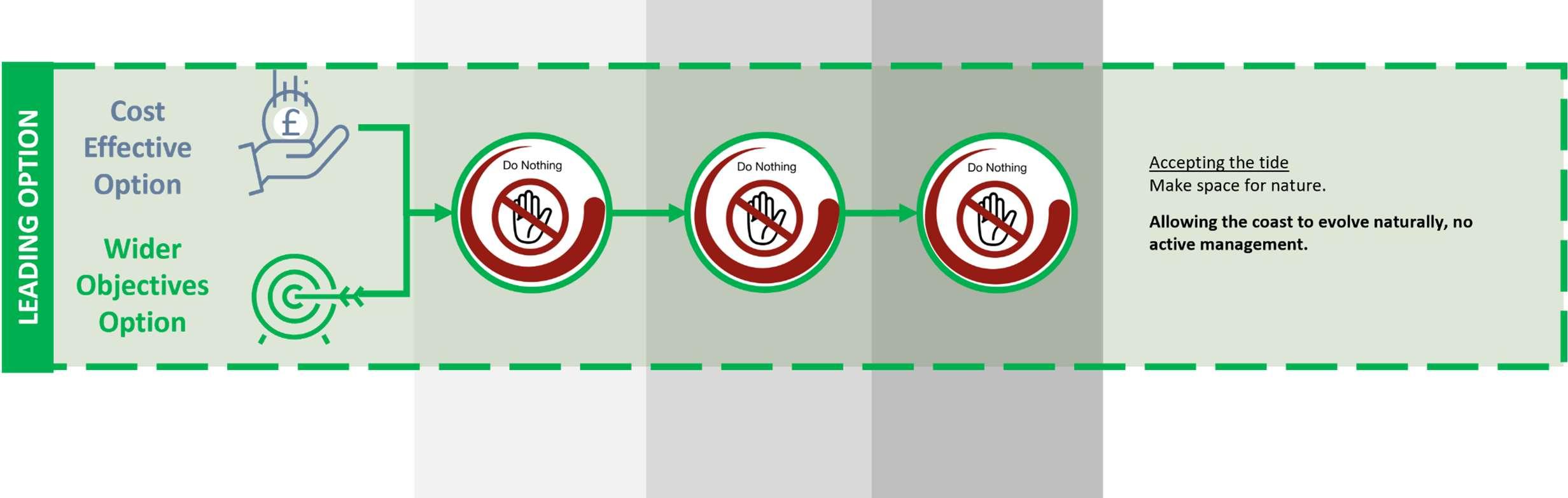
NoActiveInterventionacrossthisunitforthenext100years.
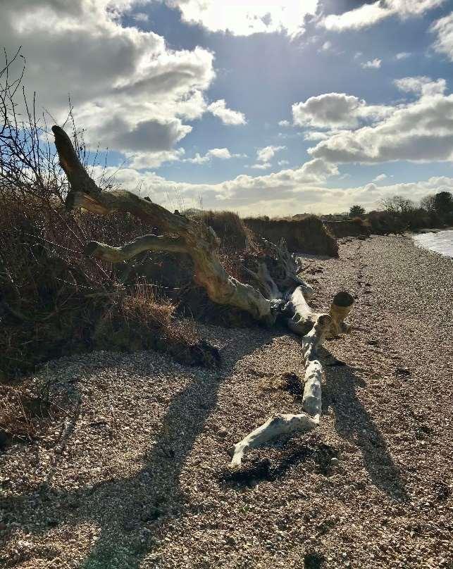
Duetothetopography,erosionisthemainrisk,however,therearenoassetsatriskalongthisfrontage.TheDo NothingdamagesinthisODUrelatetoagriculturalandrecreationallosses.
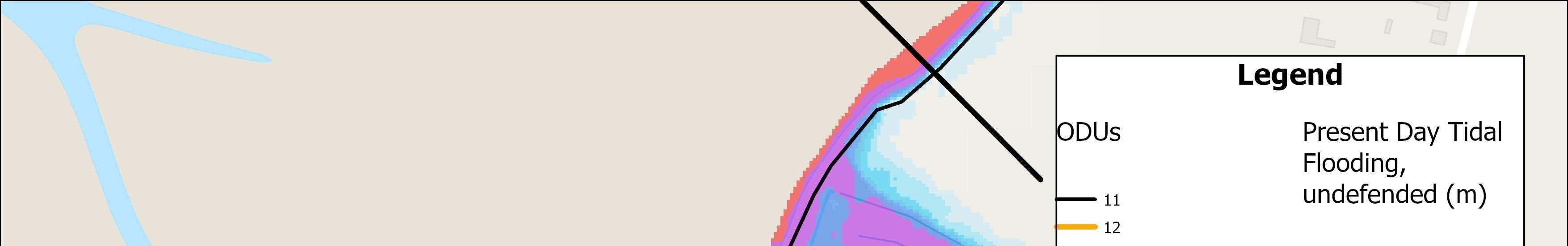
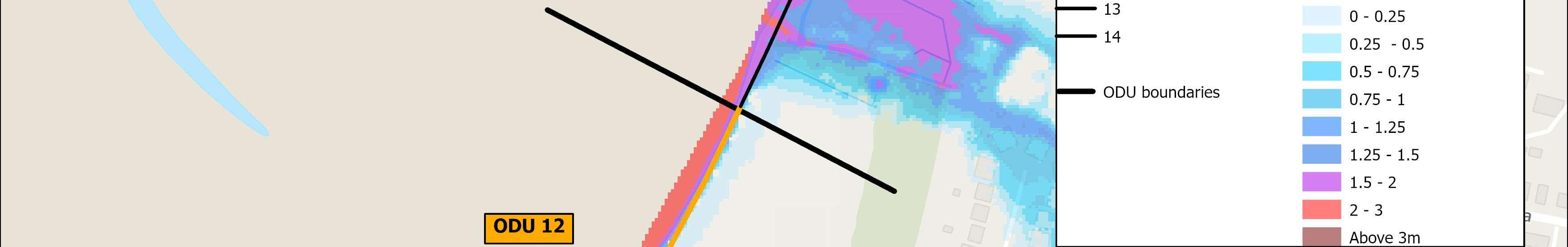
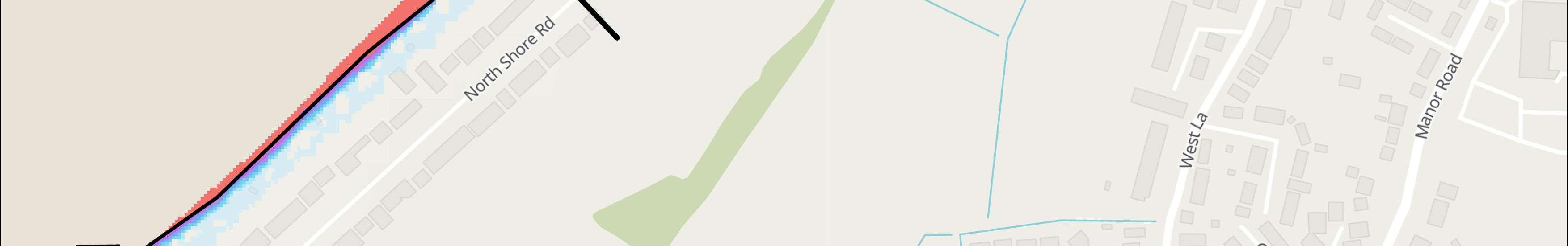
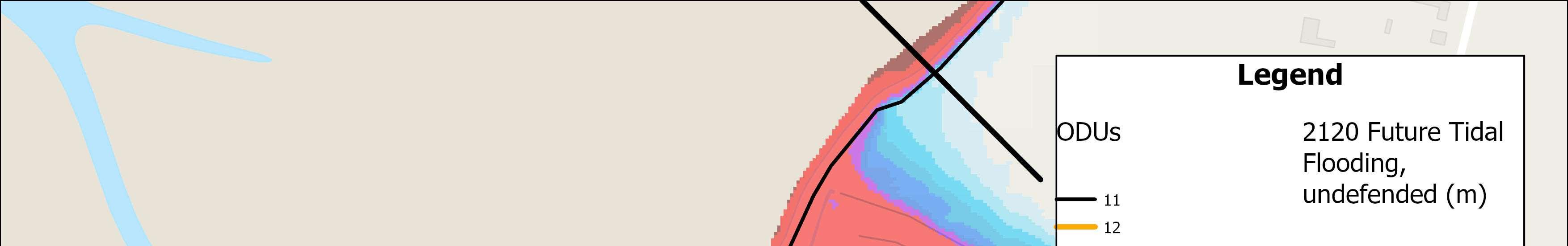
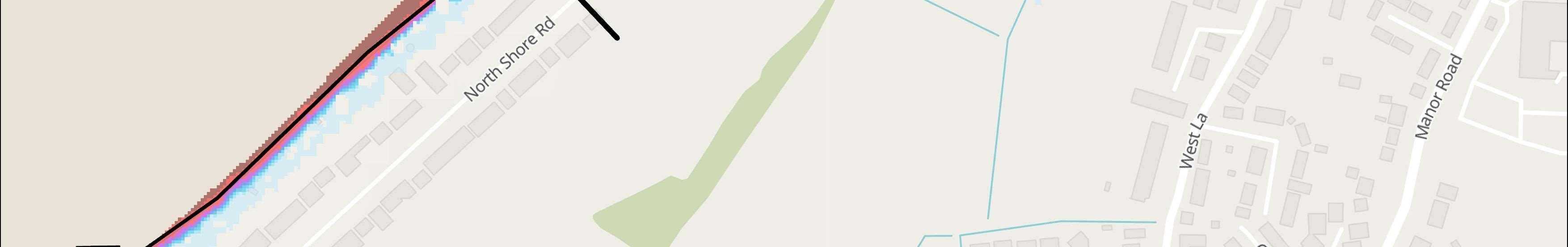
Themapsbelowshowthemodelledextentanddepthsofanextremetidalfloodevent(1in200year,0.5%annual probability),withoutanydefences,todayandin100years,allowingforsealevelrise.
Numberofpropertiesatrisk,withnodefences
Numberofpropertiesatrisk,withnodefences
Donothing damages
£90,000 PresentValue


StrategicIntent
ThestrategicintentinthisODUistomakespacefornatureby allowingthecoasttocontinuetoevolvenaturally,erodingto providesedimenttotheharbourandbeaches.
NextSteps
Noneidentifiedforthisfrontageintheshort-term.