


Overview
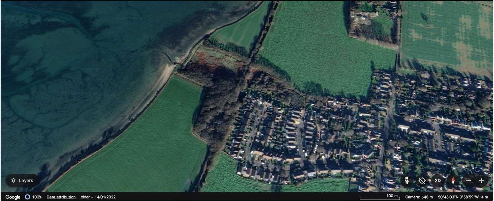
ODU13encompassesthecoastlineatNewtown.
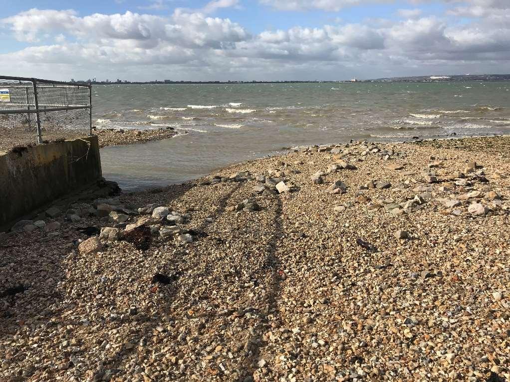
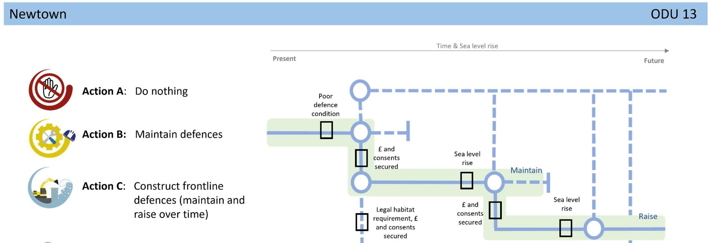
DefencesconsistofanArmorlocembankmentwithalocalisedharddefence aroundanoutfall.Althoughthedefencesareprivatelyowned,theyare maintainedbytheEnvironmentAgencyandhaveresiduallivesofbetween15 and20years.Withmaintenance,theexistingdefencesareexpectedto continuetoprovideprotectionintothemediumterm.
Liketherestoftheisland’swestcoast,theintertidalareaadjacenttothis frontageisheavilyenvironmentallydesignatedasaSSSI,Ramsar,SPAandSAC. TheNewtowncoastalfrontageitselfconsistsofafield,whichisenvironmentally designatedasSSSI,RamsarandSPA,borderedbythewidelyusedHaylingBilly TrailandHaylingBillyLocalNatureReservetotheeast,beforeyoureachthe communityofNewtown.
ShorelineManagementPlanPolicy
DuetotheincreasedfloodriskatNewtown,this frontagehasalocalisedHoldTheLinepolicyforthe next100years.
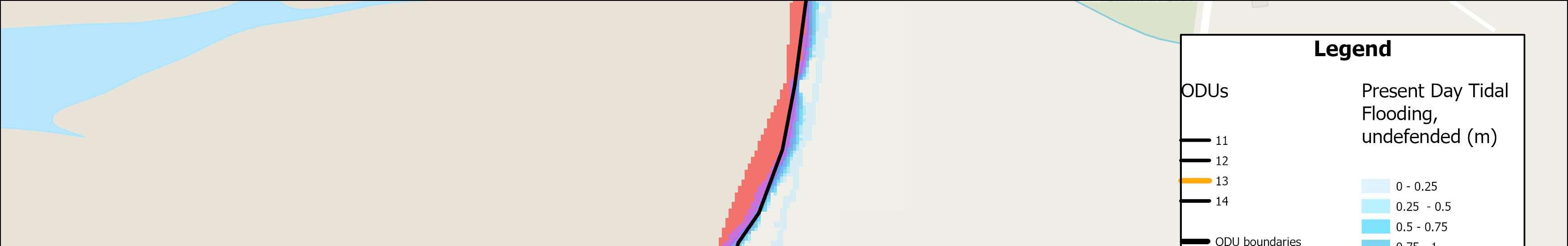
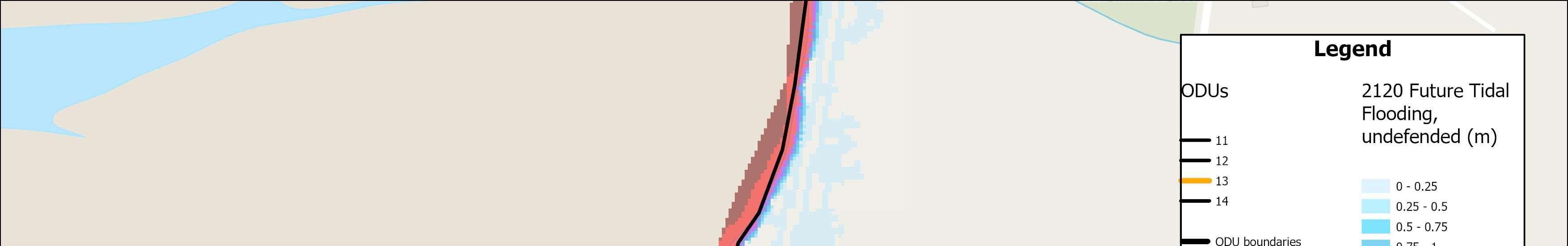
TheNewtownfrontageencompassesalocalisedpocketoftidalfloodriskwhichextendstothecommunityof Newtown.Withoutdefencesitisexpectedthattherewillbeupto80propertiesinNewtownatriskoffromtidal floodingoverthenext100years.
Themapsbelowshowthemodelledextentanddepthsofanextremetidalfloodevent(1in200year,0.5%annual probability),withoutanydefences,todayandin100years,allowingforsealevelrise.
Numberofpropertiesatrisk,withnodefences
Numberofpropertiesatrisk,withnodefences


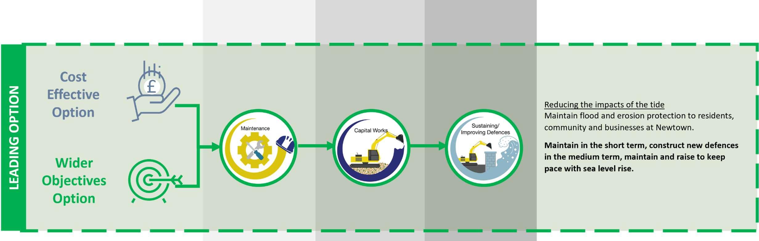
OverallStrategicOption Maintainthensustain0.5%AEPfrom 2045


StrategicIntent
TheStrategicintenthereistocontinuetoreducerisktocurrent residentialproperties,communityandbusinessesinNewtown,by maintainingexistingdefencesintheshortterm,subjectto obtainingtherelevantlicencesandconsents,beforeconstructing newdefencesinthemediumtermtoreducerisktoproperties.
NextSteps
Noneidentifiedforthisfrontageintheshort-term,otherthanongoing conversationswithcommunitiesinrelationtolevelsofriskandwhat todointheeventofaflood.