


2023 Post-Show Report geo-week.com | geoweeknews.com Produced by The intersection of geospatial the built world EVENT PARTNERS INDUSTRIES SERVED Presented by Urban Planning & Smart Cities Surveying & Mapping Mining & Aggregrates Land & Natural Resource Management Infrastructure & Transportation Energy & Utilities Earth Obervation & Satellite Applications Disaster & Emergency Response Asset & Facility Management Architecture, Engineering & Construction

Geo-Week 2023 Post-Show Report 2 TABLE OF CONTENTS Show Facts & Figures Exhibitors Event Partners Geo Week News Coverage Press Coverage & Social Media Conference Information Supporting Partners Onsite Events & Show Highlights Social Impact Advisory Board 4 9 37 35 29 26 22 19 13 11
Bringing together an audience that spans as many industries and areas of expertise as Geo Week is no small undertaking. Among all the job roles, technologies, and workflows there are some core common threads. These threads include gathering better information about both the built and the natural world, work more efficiently, and in some cases change the world.
To put it simply - Geo Week celebrates everything at the intersection of geospatial and the built world. 2023 was a record showing for the event, which saw a 50 percent increase in attendance over the 2022 event, with more than 2,800 professionals attending conference sessions and exploring the packed exhibit floor.
As Jack Dangermond pointed out in his keynote address, everyone at Geo Week truly is in the “understanding business.” Whether it is through the use of terrestrial, aerial, drone or satellite information (or a combination of all of these together), or through the processing and analysis of collected data, every exhibitor and attendee is looking for or sharing the solutions they’ve found.
While it is difficult to capture everything the threeday event had to offer, there was a definite and growing buzz generated by those in attendance as they networked on and off the exhibit hall floor. These conversations - between attendees, suppliers, resellers, solution providers and problem-solversare what really drive Geo Week.
The event had a sold-out exhibit hall floor featuring 190 exhibitors, representing a 31% increase over 2022, further cementing Geo Week as the premier event for technologies for the built environment, advanced airborne/terrestrial technologies, and commercial 3D technologies.

We’re thrilled to have you participate in this journey with us. We look forward to seeing you at our next event and invite you to personally connect with all of us!
 Lee Corkhill Group Event Director
Carla Lauter Conference Chair


Geo Week 2023 Post-Show Report 3 INTRODUCTION
“You are in the understanding business.”
- Jack Dangermond | 2023 Keynote Address
SHOW FACTS & FIGURES
Geo Week was full of industry experts sharing best practices and real-world applications of solutions they've created for unique problems.”
 - Xander Muniz Blue
Nose Aerial Imaging
SHOW FACTS & FIGURES - ATTENDEES
PURCHASING AUTHORITY of attendees have purchasing authority
SATISFACTION
88%
88% plan to make a purchase as a result of attending
INDUSTRY SECTOR
40% Surveying & Mapping Industries Served: Architecture, Engineering & Construction, Energy & Utilities, Infrastructure & Transportation, Asset & Facility Management, Land & Natural Resource Management, Mining & Aggregates, Disaster & Emergency Management
22% Architecture, Engineering & Construction
9% Energy & Utilities
5% Infrastructure & Transportation
5% Earth Observation & Satellites
19% Other Asset & Facility Management Land & Natural Resource Management Mining & Aggregates Urban Planning & Smart Cities Disaster & Emergency Management
95% met their objectives for attending
94% were satisfied with the event overall
2,800 professionals from 50 U.S. states and 40 countries attended in 2023

TOP REASONS TO ATTEND
To see new products / innovations
To network with other industry professionals
To keep up to date with market trends
Geo Week 2023
5
Post-Show Report
SHOW FACTS & FIGURES - ATTENDEES
11%
40% 28% 21%
CLICK HERE TO SEE THE FULL LIST OF ATTENDING COMPANIES
Aerial Lidar Project Manager
Aerospace Engineer
Airborne Acquisition Manager
Architect
BIM Manager
BIM/VDC Manager
Civil Engineer
Data Scientist
Data Systems Manager
Director of Operations and Technology
Director of Lidar & Remote Sensing
Director of System Engineering
Facilities Manager
Federal Geospatial Director
Field Survey Manager
Flight Operations Manager
Geodesist
Geomatics Analyst
Geoscientist
Geospatial Program Director
GIS Analyst/
Photogrammetrist
GIS Engineer
GIS/UAS Specialist
Hydrogeologist
Innovations Manager
Integrations Engineer
IT Director
Lidar Product Leader
Mapper
Mechanical Engineer
Mobile Survey Specialist
Operations Director
Photogrammetrist
Product Manager
Program Director
Project Architect
Project Geophysicist
R&D Scientist
Reality Capture
Team Leader
Reality Capture Specialist
Remote Sensing Director
Senior Systems Engineer
Solutions Architect
Spatial Data Scientist

Structural Engineer
Surveyor and Mapper
UAS Senior Solutions Engineer
Virtual Design & Construction Manager
VP & Chief Scientist
VP Imaging Systems
VP Innovation
VP of Geospatial Services
VP Operations
VP of AEC Enterprise Solutions
Geo Week 2023 Post-Show Report 6 40% 28% 21% 11% 1-49 50-499 500-4999 5000+
ATTENDEE COMPANY SIZE SAMPLE JOB TITLES







Geo Week 2023 Post-Show Report 7
by SHOW FACTS &
- ATTENDEES
Click here to see the full list of attending companies.
Produced
FIGURES
2,800+ PROFESSIONALS ATTENDED GEO WEEK FROM 50 U.S. STATES AND 40 COUNTRIES
190 COMPANIES EXHIBITED AT GEO WEEK
98% were satisfied with the quality of attendees at their booth
98% were satisfied with the quantity of attendees at their booth
97% said that Geo Week is important to their business
93% of exhibitors were satisfied with exhibiting at Geo Week
Geo Week is a wealth of knowledge for the geospatial space. New technology emerges every year and exhibiting here increases your workflow and sparks new ideas.”
- Devon Sprunk NavVis
89% of exhibitors stated they were likely to return next year
99% of companies said they were able to generate new sales leads
97% of exhibitors expect to generate sales within 12 months as a result of exhibiting

INTERESTED IN EXHIBITING?
Geo Week 2023 Post-Show Report 8 SHOW FACTS & FIGURES - EXHIBITORS
CLICK HERE
EXHIBITOR SATISFACTION & SALES
















Produced by Geo Week 2023 Post-Show Report 9 2023 EXHIBITORS Fast, Efficient 3D Imaging BayesMap Solutions LLC











Geo Week 2023 Post-Show Report 10
AG JENA
Produced by
2023 EXHIBITORS GEOSPATIAL somag
EXHIBITOR LIST
2023 EXHIBITORS
3D TARGET SRL
3DEO, Inc.
3Dsurvey
ActiveG
Advanced Navigation
Advanced Scientific Concepts LLC
Aerial Surveys International
AerialSphere
Aerialsurvey.com
Aero - Graphics Inc.
Aerometrex
Aevex Aerospace
Air Bear Tactical Aircraft
AIRtec, Inc.
AirWise Solutions
AirWorks
Allvision
AmericaView
Applied Imagery
ArenaCAD USA
ASPRS
ATIS.cloud
aurivus
AutoMap
AVEVA
Axis GeoSpatial, LLC
BAAM.Tech
Bad Elf
Balko Tech
BayesMap Solutions
Benaco
Bentley Systems
Blue Marble Geographics
Bluesky Geospatial
Carahsoft
Cardinal Systems LLC
Carlson Software
CHC Navigation
Chengdu Rainpoo Technology Co., Ltd.
Cintoo US Inc.
Clear Skies Solutions
ClearEdge3D
CloudFactory
CompassData Inc.
Cupix
Cyvl
DAT/EM Systems International
Datum Tech Solutions
Dewberry
DIELMO 3D S.L.
Digital Construction Week
Doosan Mobility Innovation
Drones Plus Inc
Dynamic Aviation
Easy Aerial Inc.
EcoPoint, Inc.
Elysium Inc.
Emesent
EOMAP
EPS Group, Inc.
Esri
Exail
Exyn Technologies Inc.
FARO Technologies, Inc.
Feima Robotics Technology Co., ltd.
FIXAR AERO LLC
Fizoptika Malta
FLAI D.O.O.
Flyability
Frontier Precision
Fugro
GDU-TECH CO. LTD
GEO Business
Geo Week Sales Booth
GeoCue Group
Geo-Plus
GeoShack
GeoSLAM Ltd
Geospatial World
Gexcel
GIS Surveyors, Inc.
gNext
GPI Geospatial, Inc.
GreenValley International
Handheld
Helipoland Sp. z o.o.
Hesai Technology
Hexagon
HTS Advanced Solutions LLC
Impulseradar
Inertial Labs, Inc.
Informed Infrastructure
Inside Unmanned Systems
ISPRS
ITRES Research Limited
Jacobs
Jakarto
JP Global Digital
KELYN Technologies
Keystone Aerial Surveys
Kompass Business Management System (BMS)
Kucera International Inc.
Kudan | Artisense
L3Harris
Lead’Air
Leica Geosystems
LIDAR Magazine (Spatial Media)
Lidaretto
LidarSwiss Solutions GmbH
LIDARUSA
LiteWave Technologies, Inc.
M.J. Engineering and Land Surveying, P.C.
MAPPS
Maptek
Matterport Inc.
Merrick & Company
Microdrones
Mosaic
Multicopter Warehouse
National Geospatial Intelligence
Agency (NGA)
National States Geographic Information Council (NSGIC)
NavVis US, Inc.
Nearmap
NV5 Geospatial
OpalAi
Outsight
Overlay
Overwatch Imaging
Oxford Technical Solutions (OxTS)
Parker Hannifin
Pavemetrics Systems Inc.
Phase One
Phoenix LiDAR Systems
Pioneer Exploration Consultants Ltd
Pix4D SA
PointCab GmbH/Laserscanning Europe
Pointerra
PointFuse
Power Technology
PRESAGIS
Prevu3D
Prostar Geocorp
RDO Equipment Company
Revolution Flight
RIEGL USA Inc.
RPMC Lasers
Sanborn Map Company
SBG SYSTEMS
Screening Eagle Technologies
Seagate Technology LLC: Lyve Mobile
Seiler Instrument Geospatial
Shanghai PYTES Energy Co.,Ltd
SIMACTIVE INC.
Site Scout 360
Skand
Skydio
Skyfront Corp.
Skyline Software Systems, Inc.
Smart Delta Systems & Solutions

Smart Drone
Solv3D Inc.
SOMAG AG JENA
Stonex USA
Surphaser/Basis Software, Inc.
Teledyne Geospatial
Teren, Inc.
TerraGo Technologies
Terrasolid Ltd0
THE GEOHOLICS PODCAST
Topcon
TopoDOT
TOPODRONE SA
Trimble
Tuck Mapping Solutions, Inc.
UES
U.S. Geological Survey
USIBD
Vectornav Technologies
VeriDaaS Corporation
Vexcel Imaging
VIAMETRIS
Voxelmaps
VRMesh
WGIC
Wingtra
WISPR Systems
Woolpert
XenomatiX
xyHt Magazine
YellowScan
Z+F USA, Inc.
Geo Week 2023 Post-Show Report 11
EVENT PARTNERS


EVENT PARTNERS
About our Event Partners
From collaborating on key conference content and providing exclusive training, to showcasing the technical capabilities of our vendors, these partnerships strengthen and advance the geospatial and built world communities by providing additional expertise and industry advocacy to the event.
Founded in 1934 the American Society for Photogrammetry and Remote Sensing (ASPRS) is a scientific association serving professional members around the world. Its mission is to advance knowledge and improve understanding of mapping sciences to promote the responsible applications of photogrammetry, remote sensing, geographic information systems (GIS) and supporting technologies.
MAPPS is the preeminent national association of firms involved in many aspects and benefits of the geospatial field in the United States. MAPPS is dedicated to all the business aspects, networking, technical and professional education, geospatial policy, and legislation that private practitioners and the mapping community will always need.


The International Society for Photogrammetry and Remote Sensing is a non-governmental organization devoted to the development of international cooperation for the advancement of photogrammetry and remote sensing and their applications. The Society’s scientific interests include photogrammetry, remote sensing, spatial information systems and related disciplines, as well as applications in cartography, geodesy, surveying, natural, Earth and engineering sciences, and environmental monitoring and protection.



The U.S. Institute of Building Documentation (USIBD) is the first U.S. membership organization to focus specifically on supporting the Building Documentation Industry. The USIBD is committed to being the leading resource for all stakeholder groups with an interest in Building Documentation. As such, the USIBD strives to provide its members with a network of support and information, embracing industry professionals throughout the U.S. and Internationally.
The World Geospatial Industry Council is an association of companies representing the entire ecosystem of geospatial industry. WGIC endeavors to enhance the role of the geospatial industry and strengthen its contribution in global economy and society, facilitate exchange of knowledge within the geospatial industry and co-creation of larger business opportunities for the geospatial industry, represent business interest, and share perspectives of the geospatial industry and undertake policy advocacy and dialogue with public authorities, multilateral agencies and other relevant bodies.
Geo Week 2023 Post-Show Report 13
GEO WEEK NEWS COVERAGE
Geo Week has proven once again that it is the place for networking, technology, and cross-industry community building!”
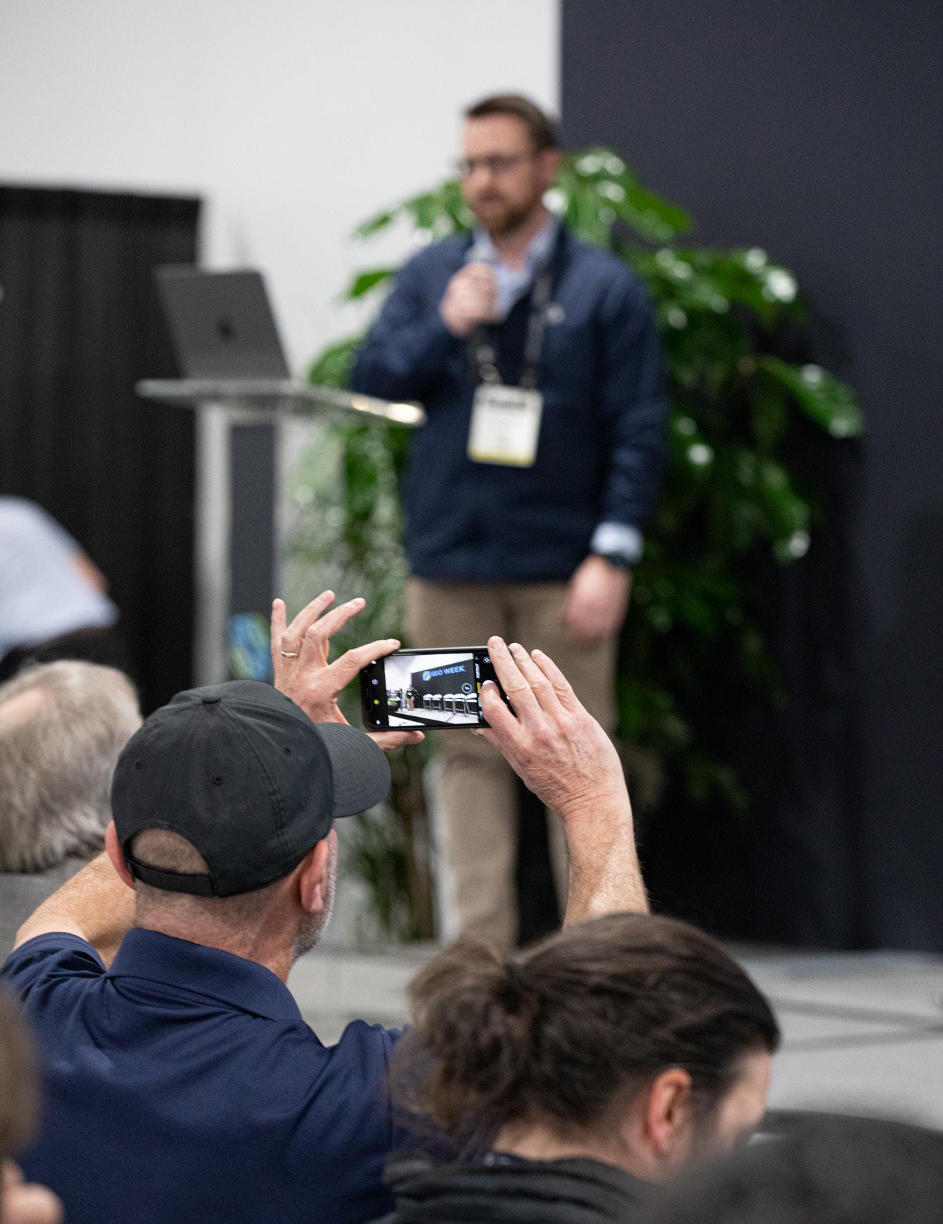 - Carla Lauter
Geo Week News
SHOW RECAP
Day 1
With more than 2,800 registered attendees and a packed show floor, the buzz, traffic and excitement of the show was already evident by the end of the first day.


The morning kicked off, as per tradition, with Product Previews. This year featured 19 companies showcasing new products and new workflows in quick 15-minute sessions. AEVEX Aerospace, Matterport, TopoDOT, Cintoo, Blue Marble Geographics, RIEGL, Bentley Systems, Trimble Inc., Hexagon Geosystems, SBG Systems, Nearmap, Phase One, 3Dsurvey, Esri, Prevu3D, Teledyne Geospatial and Pix4D took the stage, many making new announcements or launching new versions of software.
The kickoff keynote, featuring thought leaders from Dodge Data & Analytics, Bentley Systems, The Foth Companies, Skanska, National Institute of Building Sciences and Hensel Phelps asked some big questions about how to approach technology adoption, from trialing new software to considering what youas a practitioner - really need, and whether that functionality is already in something that you might have.
Then the doors to the Geo Week exhibit hall opened for the tech-minded attendees to explore the bigger-than-ever exhibit hall floor, featuring a mix of technologies across geospatial, realitycapture, and building.
The buzz of conversations carried all the way down the stairs to the registration desk as the exhibit hall brimmed with colleagues meeting up in person, sometimes for the first time.
In the conference sessions, we heard about the latest industry updates for surveying and mapping, what’s new in bathymetric lidar, what the potential of AR/VR and mixed reality are for the industry, how sustainability should play a role in development, how digital twins are being applied and scaled in new ways, and what challenges remain for reality capture. On the exhibit hall theatre, we heard about cutting-edge geospatial research, and hosted a standing-room-only presentation about how NeRFs relate to photogrammetry from Jonathan Stephens of Everypoint.
At the Academic Showcase poster session students and faculty shared innovative projects and case studies that applied lidar and other technologies to understand the world. From taking on multi-dimensional mapping projects with many different stakeholders to mapping underground spaces for flood risk, to identifying previously missed archeological features in the desert, to applying synthetic aperture radar to detect environmental hazards and more, the students enthusiastically shared their work. Several of the posters are in the running for an award to be presented at the award ceremony on Tuesday evening.
Geo Week 2023 Post-Show Report 15 GEO WEEK NEWS COVERAGE
GEO WEEK NEWS COVERAGE
Ending the evening with a happy hour in the exhibit hall, we celebrate this coming back together. We are just as grateful for our attendees who have joined us from the early days of ILMF and SPAR 3D as we are for those who joined us for the first time.
Day 2
Day two was a day of inspiration and connections, as well as busy schedules!
The morning started with an inspiring keynote address from geospatial visionary Jack Dangermond, co-founder of Esri. In his address, Dangermond spoke directly to attendees, emphasizing their critical role in continuing to make the world a better place - by breaking down silos of information between disciplines. His remarks are a great reminder as to why Geo Week came together as an event in the first place - bringing together previously separated disciplines to share resources, creatively solve problems, and create new solutions.
The conference sessions focused on some key challenges across several industries, including a lively conversation about the future of AEC workflows, and some “reality checking” about reality capture and digital twins. Attendees also learned about the potential that AI and machine learning could bring to geospatial data, and how BIM for infrastructure is a game-changer for addressing infrastructure assessment, repair, and construction.
The Exhibit Hall Theater continued to be a central place for unique content. From demonstrations of software to projects featuring new uses of technology, the Exhibit Hall Theater was a hub of activity throughout the day.
In the Unique Case Study session, presenters discussed new and innovative uses of lidar technology, including scans of cultural heritage buildings and tracking of Monarch butterfly habitats, among other presentations.
In addition, the World Geospatial Industry Council organized a session focused on diversity, equity and inclusion in the geospatial industry - a topic that is paramount for the industry’s future. Recruitment, retention, and leadership were discussed by the panel as well as potential solutions and calls to action for the geospatial community.

Later in the afternoon, rapid-fire two-minute presentations were heard by a panel of judges for “Pitch the Press”. The latest products from Oxford Technical Solutions (OxTS), LidarSwiss Solutions GmbH, and Exyn Technologies were chosen from 16 presentations that were pitched rapid-fire to a panel of highprofile press representatives at Geo Week. These solutions represent the cutting edge in autonomous UAV technology, lidar georeferencing and boresight calibration, and real-time lidar processing.
Speaking of winning, the last session of the day was focused solely on deserving awardees in the Geo Week Awards Ceremony A listing of all of the winners can be found here
Day 3
As soft snow blanketed the city of Denver, the final day of Geo Week came to a close. In three days, we’ve learned, been inspired, made new introductions and re-connected with colleagues. Walking the hall each day, we saw a barrage of handshakes, and faces lighting up after seeing people they recognize across the room. The connections and networking were paramount as people made preparations to catch their flights, pockets full of business cards.
In the morning, the concept of connections was explored by a joint plenary panel of WGIC and MAPPS, discussing the importance of coming together. Private industry, governments and non-profits are able to accomplish a lot more when they put their minds together. The private sector will eventually be subject to more government regulation, and it was emphasized how important it is to have a seat at the table, starting discussions about what the industry wants those guidelines to be - before they take effect.
After three days of putting terrestrial laser scanners to the test, USIBD took the Exhibit Hall Theater stage to reveal and review their performance under identical conditions. Advocating for spec standards - especially for accuracy - USIBD is looking out for users who want to understand how to evaluate different technologies and find the best fit.
The conference content continued with strong sessions on aerial and UAS workflows, reality capture challenges in the real world, and data management for BIM. In the afternoon, officials shared updates from the U.S. Geological Survey (USGS) and Natural Resources Canada, including “what’s next” for the 3DEP program. Another packed session in the Exhibit Hall focused on future technologies - from AI to NeRFs to blockchain, from augmented reality to the metaverse - lots ahead on the horizon that might be tomorrow’s hottest topics.
Geo Week 2023 Post-Show Report 16
Wherever you are, make sure you come next year.”
- Gertrude Namitala Trudigital Technologies
Geo Week Highlights: Product Previews

Attendees at Geo Week 2023 had the opportunity to see some of the newest and most exciting products hitting the market in the industry. Spread across two rooms, 21 different companies spent 15 minutes each detailing the new innovations, which are summarized below by Content Specialist Matt Collins.

HARDWARE
A manufacturer of inertial navigation systems, SBG Systems kicked off one of the product preview sessions, largely introducing their new Quanta Plus product. The company’s Quanta series brings direct georeferencing to both UAV and land-based surveying, with a small form factor. The addition of the Plus model to the product line brings orientation stabilization and navigation, and its size has been optimized for direct georeferencing. The unit performs strongly in harsh GNSS environments, and the presentation noted that it works with other GNSS and IMU devices while specializing in mapping applications for surveying and mobile mapping. With their expertise in both inertial and GNSS navigation as well as acoustic positioning and robotics, Advanced Navigation
focused on their new Hydrus product. The underwater UAV comes equipped with inertial navigation systems along with WiFi for mission planning, coming together to allow for autonomous underwater surveying, including object classification powered by the company’s artificial intelligence. Along with the Hydrus, Advanced Navigation also introduced their first-of-its-kind digital FOG, which outperforms traditional FOG products while coming in at a lower price point.
Trimble made two presentations. In one, they concentrated on their mobile mapping systems, specifically their MX9. This is an solution for large-scale projects. For road mapping it boasts expanded pavement coverage compared to previous models. This presentation also touched on the continued development of the Trimble Business Center, bringing all of Trimble’s software solutions into one platform, now with new machine learning capabilities.
The company also presented on their X12 laser scanner. With this new device, Trimble customers still get the high-end scanning data to which they are accustomed, but in a much simpler fashion. The full X12 system includes not just the scanner itself, but also a tablet, tripod, carrying case, along with a software suite to provide the full end-to-end workflow. This is the kind of system which can be utilized successfully by professionals of every experience level, with high-powered capabilities and intuitive interfaces and UI.
RIEGL introduced their new VZ-600i, their latest generation of terrestrial laser scanner. The presentation explained that this
Geo Week 2023 Post-Show Report 17 GEO WEEK NEWS COVERAGE
was the result of lots of feedback from those in the field, with one of the biggest complaints many professionals have being the weight of high-powered systems. RIEGL managed to maintain the high levels of performance their customers have come to expect while also significantly dropping its weight. Moving to a cuboid model rather than their former sphere models, the VZ-600i now comes in at just 13 pounds.
PIX4D discussed their full scanning workflow, which includes the processing software, but put a special focus on their viDoc RTK Rover. This is designed to be used right with the smartphones that most everyone has in their pockets at all times at this point. It attaches right to the back of a phone and geotags reality capture data coming from the phone in real-time, providing ultimate accuracy with accessible capture processes.
Hexagon focused largely on two of their newest hardware offerings. The first is their Hawk-Eye 5, which is built for airborne bathymetric scanning. This is an exciting offering for those surveying products covering coastlines, as the system is built with two sensor heads and can simultaneously capture land/ water borders. The key here is the stabilized sensor heads, which provide cleaner and more accurate data and ultimately cuts down potential re-flight costs. The company also discussed their new Leica DMC-4, which adds efficiency of 30k+ cross-track pixels while supporting frame-format product generation. The airborne imagery sensor provides precise imaging, high productivity, and the flexibility to cover whatever a specific project may call for.
SOFTWARE
Prevu3D aims to make digital twins accessible to all who can benefit, focusing specifically on ensuring even non-technical users can get real value from their software. A web-based platform which can be run on any standard laptop, they ran through some of the top and newest features in their program. Using point cloud data largely within large facilities like auto manufacturing and food and beverage plants, a user can fully interact with these models, including with a customizable avatar. The company showed off the gaming engine-powered models, an ability to place assets within a model, and their newest feature which allows for automated segmentation.
One of the biggest names in digital twins, Matterport not only presented on their software solutions but also hardware offerings, ultimately showcasing a full workflow. On the hardware side, the presentation focused largely on their Pro3 camera, released last August and really designed for that digital twin creation. While the company has largely focused on image-based digital twin creation, this new camera combines traditional imagery with lidar to create the foundation for digital twins. That captured data combined with some of their software offerings to create floorplans and 3D models gives easy access to a usable digital twin platform.
One thing that becomes readily apparent listening to the people at 3Dsurvey talking about their point cloud software offerings is their experience in the field. The 3Dsurvey team is almost entirely made up of experienced surveyors who truly understand problems professionals are facing, and it comes across in this offering. Talking through some of their key features, the company highlighted its product’s ability to easily calculate volume, extracting building corners with their X-Ray functionality, a seamless ability to switch back and forth between mesh and point cloud, and contour lines, among other features. Not a simple product in terms of power, it is intuitive, and they also let the audience know they offer free training sessions as well.
Blue Marble Geographics separates themselves from the other software companies here a bit by specializing in GIS data. In this event, the company presented their Global Mapper Pro product, an all-in-one GIS platform. The software allows for data creation, editing, advanced 2D and 3D analysis, scripting methods for workflow automation, and expansive file format support. Blue Marble’s team also highlighted some of the newest features on the platform, such as relative elevation models to highlight terrain variation, new inset map elements, and mobile data management capabilities, among plenty of other new features. In addition to Global Mapper Pro, they also touched on their Geographic Calculator, a geodetic software for accurate coordinate conversion, datum transformation, and file translation.
There is no name bigger in the world of geospatial software than Esri, and at this year’s Geo Week event they announced the release of their new ArcGIS Reality product. During their presentation, the company highlighted much of their ArcGIS platform, with a special focus on this new reality engine. This provides the foundation for large-scale digital twins, pulling in existing products like SiteScan and Drone2Map, both of which utilize drone mapping, as well as new releases with ArcGIS Reality for ArcGIS Pro and ArcGIS Reality Studio. Providing a full workflow from captured data to processing to extraction, complete with artificial intelligence and machine learning, as well as ability to integrate CAD and BIM data, Esri’s newest release was captivating.

Cintoo presented on their Cintoo Cloud platform for digital twin creation. One of the coolest things about the Cintoo platform is their ability to really shrink down files by 20 to 30 times, making them easily shareable through the cloud.

Geo Week 2023 Post-Show Report 18
GEO WEEK NEWS COVERAGE
GEO WEEK NEWS COVERAGE
They also note, crucially, that this can be reversed so those receiving the data can revert it back to its original form if necessary for their project. Cintoo prides itself on making their software scanner-agnostic, and look to merge the worlds of Industry 4.0 and BIM platforms to provide as much value as possible to their users. The team also discussed their newest AI capabilities for feature extraction as well as their full workflow of integrations with the top names in the industry at every stage of a project.
There are few companies who understand the technological needs of the AEC industry like Bentley Systems, and they were on hand to discuss their iTwin platform and their ContextCapture software which allows for the quick creation of digital twins from point cloud and/or photogrammetric data. They boasted about their fastest processing times on the market, combined with their own AI and machine learning capabilities. And ultimately, they talked about the significance of adding that “fourth dimension” of context into their models with things like IoT sensors and other real-time information which can be fed into their digital twins.

Drawing on their three decades of experience in the lidar industry, TopoDOT presented about their point cloud processing software. In the presentation, they discussed the importance of having quality control and assurance in a workflow, either during or after extraction, both of which their software offers. Like most others in the field, they are working more with AI for feature extraction, but did stress the importance of combining automation and quality. Speed is good, but only if you’re getting the returns you’re expecting and need. In addition to their point cloud processing software, they also discussed their TopoShare tool to enhance collaboration within teams and between stakeholders.
AERIAL IMAGERY
Nearmap specializes in collecting high-quality imagery captured on a consistent basis throughout the United States and abroad. They introduced their new HyperCamera 3, which revolutionizes the way the company captures their data. The new camera, which was in development for two years before its release last October, provides twice the detail as their previous model to go with four times the capture area thanks to more angles from which an area is captured – 14, to be exact. All of this, combined with new AI features and upcoming collaboration tools to be rolled out in a series of releases, is sure to enhance the value for Nearmap customers.
Phase One presented on the newest innovations from their company over the last year. The company’s cameras, which are used for aerial imaging as well as mapping and UAV inspections, include both compact and full-size versions. As explained in this presentation, they also take advantage of Bayer sensors and new blur control to ensure the highest-quality images possible. Additionally, they also showed off their processing workflows, which includes the recording of all RAW data from the collection to ensure a user can go all the way back to get any form of data they may need for a project.
In the second of their two presentations, RIEGL ran through their extensive product offerings for airborne lidar, they introduced a few new scanners in the VQ 580-IIS, the VQ-1260, and the VQ1460, all of which can provide wide-area forestry scanning, while the latter two are also utilized for alpine environments. In addition, RIEGL discussed their pod solutions, which can be used with helicopters and other crewed aircraft, as well as their topobathymetric solutions, which includes the new VQ-840-GL.
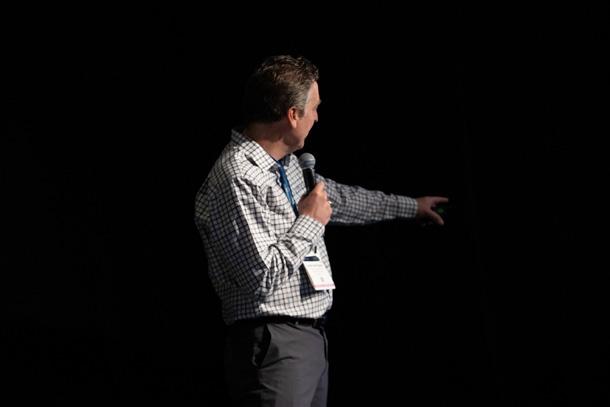
Vexcel offers both hardware and software solutions for the aerial imagery space, and discussed both aspects of their business in their presentation. Customers already have access to nearly the entire United States with Vexcel’s data capturing, but they are expanding their program in the U.S. in the coming year to cover even more, and to cover some urban areas more frequently than they already were. In addition to that raw data, the company is also adding improved AI for extracting elements in the imagery for things like damage assessment, among other use cases. Their presentation also included introductions to their new Eagle 4.1 nadir photogrammetric aerial imaging solution as well as their Osprey 4.1 combination oblique and nadir photogrammetric aerial imaging solution.
AEVEX Aerospace specializes in providing their customers with the best and most actionable aerial intelligence possible, and discussed their wide range of solutions in their presentation. They not only touched on those aerial solutions, which are used for, among other things, powerline mapping, land surveying, and mining, but also their mobile solutions. These ground-based mobile systems add more detail to surveys getting accurate onthe-ground data collection. In addition to the data collection, the company also has the software to provide customers with realtime data viewing, pre-flight tools, and post-processing tools.
Teledyne spotlighted their Galaxy product, which is focused on airborne lidar data collection. Much of that process is centered around their Galaxy scanner, but this presentation focused more on innovation within the Galaxy Onboard platform, which can revolutionize the data collection process for pilots. The system collects data in real-time, with a separate, wireless display to make it easier for pilots to react to the data. Additionally, the system tracks where data was good, decent, and bad in real-time to more quickly react and adjust flight plans. Per the presentation, this new all-in-one workflow can provide a 60 percent reduction in re-flight cost and resourcing.
Geo Week 2023 Post-Show Report 19
PRESS COVERAGE & SOCIAL MEDIA
If you have a problem, the geospatial industry that flocks here will definitely have an answer for it. So come, express yourself, learn something new every minute, and ultimately broaden your horizon.”
 - Sanjay Shenoy Nowak & Fraus Engineers
SELECT PRESS COVERAGE & SOCIAL MEDIA
GEO WEEK 2023 AND THE LATEST TECHNOLOGICAL ADVANCEMENTS IN THE AEC INDUSTRY


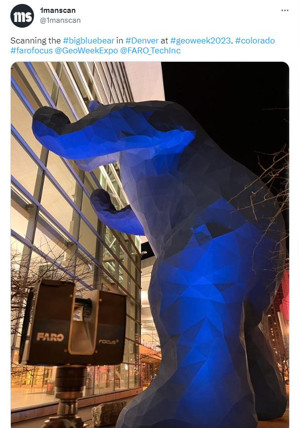

DRONES ON DISPLAY AT GEO WEEK 2023
GEO WEEK 2023 DISHES LATEST IN DIGITAL DOCUMENTATION, AS-BUILTS, AND CONSTRUCTION ADMINISTRATION TOOLS



GEO WEEK 2023: ACCELERATING CLIMATE ACTION AND SUSTAINABLE DEVELOPMENT THROUGH PPPS – INSIGHTS FROM WGIC AND MAPPS PANEL
Geo Week 2023 Post-Show Report 21
PRESS SOCIAL MEDIA
VIDEO HIGHLIGHTS
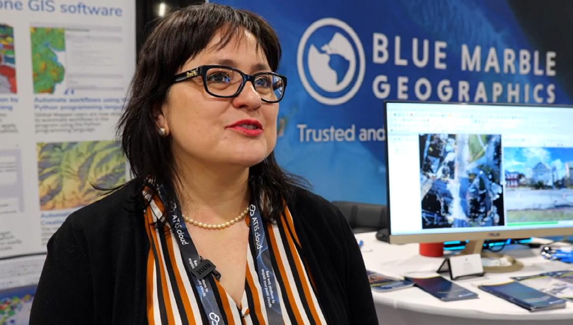
EXHIBITOR TESTIMONIALS


30

Geo Week 2023 Post-Show Report 22
THREE MINUTE EVENT OVERVIEW
SECOND RECAP
CONFERENCE INFORMATION

Geo Week is the premiere conference for geospatial professionals; it is an unparalleled opportunity to meet and collaborate with our fellows from around the world.”
- Erin Radford David Evans and Associates
CLICK HERE to view All Speakers
CLICK HERE to view the 2023 Conference Schedule
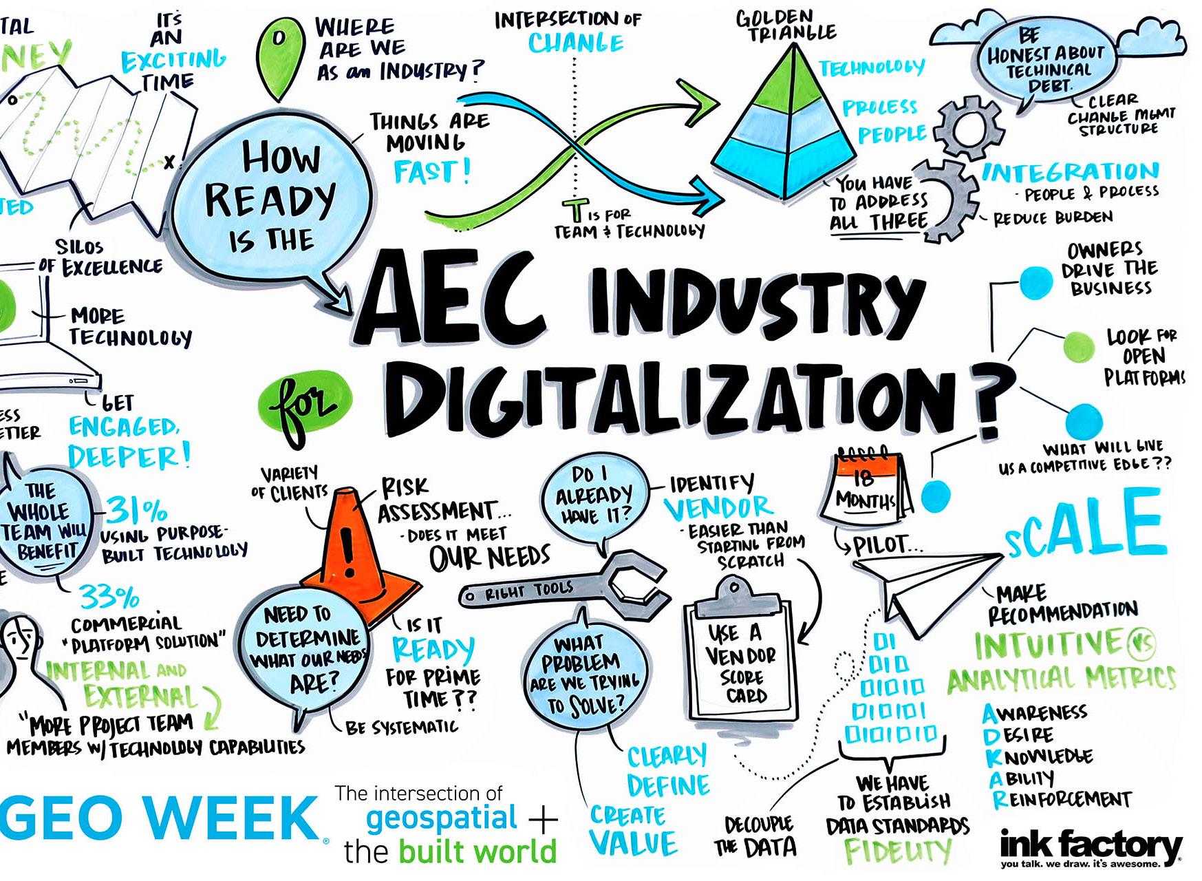
Opening Keynote: How Ready is the AEC Industry for Digitalization?


The now infamous McKinsey report in 2018 that outlined how large construction projects are typically 80% over budget and take 20% longer to complete also detailed that adopting new processes and technology innovations could eliminate these inefficiencies. The tools to do so have been available for several years, but it was the COVID-19 pandemic that accelerated their use. The mandate for change and innovation in construction has never been stronger but is the industry as a whole ready for this shift? Our panel of experts discussed what has and hasn’t changed, how they’ve seen organizations define the value of a shift into the digital age, whether or not certain companies and users are ready for it, and much more.


View 2023 Keynotes

Geo Week 2023 Post-Show Report 24
KEYNOTES
Keynote panel moderated by Steve Jones, Dodge Data and Analytics.
Steve Jones Dodge Data & Analytics
Johnny Fortune National Institute of Building Sciences
Greg Gidez Hensel Phelps
Aaron Moniza Foth
Claire Rutkowski Bentley Systems
Danielle O'Connell Skanska USA Building
Presentation
Jack Dangermond’s keynote reviewed recent applications of GIS and remote sensing and discussed how these technologies can help address the complex challenges the world is facing. Dangermond's visionary leadership and passion for using data to make the world a better place is contagious, and is sure to inspire. His insight coupled with a look at where and how the technologies are making a difference allowed the audience to make connections that can be further explored across the event and beyond.


View 2023 Keynotes

Geo Week 2023 Post-Show Report 25
KEYNOTES
Keynote
by Esri Founder and President, Jack Dangermond
Jack Dangermond Esri
Collaborative
Power
MAPPS and WGIC together represent the full ecosystem of the geospatial industry. Both organizations are committed to helping their members excel and become recognized world leaders and innovators in offering geospatial technologies and services.




MAPPS and WGIC bring together global private industry with governments and policy-based organizations focused on topics including the UN Sustainable Development Goals (SDGs), climate change, disaster resilience, sustainable infrastructure, etc., and ensuring the geospatial industry contributes to addressing these issues. MAPPS and WGIC demonstrated the true value and success of the power of public, private partnerships and its collaborative and supportive ‘impact for good’ on both the natural environment and the “Built World.”

Geo Week 2023 Post-Show Report 26
The
Impact and
of Public, Private Partnerships from the Natural (Climate) Environment to the “Built World"
SUPPORTING PARTNERS
Our experience at Geo Week has been one of the most engaging and worthwhile experiences for our scan to BIM company.”
 - Daniel Poloz Deep Scan Studio













by Geo Week 2023 Post-Show Report 28
PUBLICATIONS
Produced
SUPPORTING PARTNERS
PORTALS
SUPPORTING PARTNERS







ANALYSTS

ASSOCIATIONS & USER GROUPS













COOPERATING EVENTS





SPECIAL PROMOTIONAL SUPPORT


Geo Week 2023 Post-Show Report 29
Produced by
ONSITE EVENTS & SHOW HIGHLIGHTS
An amazing place to view an area of rapidly evolving technology and methodology with knowledgeable and open professionals and academics, providing comprehensive and inclusive engagement to those looking to provide the next level of expertise and analysis.
 - Alex Hill-Stosky Eagle Telecom Ltd
”
GEO WEEK AWARDS CEREMONY
OUTSTANDING
READ the full article here
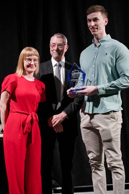
OUTSTANDING UNIVERSITY ACHIEVEMENT IN LIDAR QUEEN’S UNIVERSITY, BELFAST
OUTSTANDING ENTERPRISE ACHIEVEMENT IN LIDAR CEPTON, INC
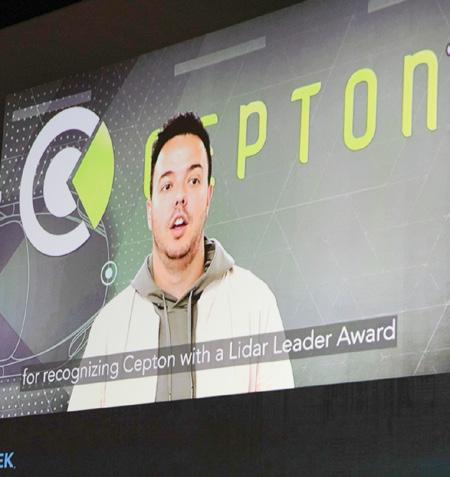

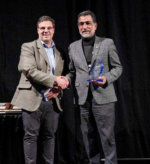
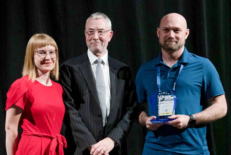


OUTSTANDING INNOVATION IN LIDAR BATHYMETRIC UNMANNED LITTORAL LIDAR FOR OPERATIONAL GEOINT (BULLDOG), WOOLPERT
ASPRS FELLOW AWARD
ASPRS ESTES MEMORIAL TEACHING AWARDS
ASPRS gave out the following awards:
ASPRS LIFETIME ACHIEVEMENT AWARD
OUTSTANDING
PERSONAL ACHIEVEMENT IN LIDAR DR. QASSIM ABDULLAH, WOOLPERT
CLICK HERE
full list of award recipients
Geo Week 2023 Post-Show Report 31
Produced by
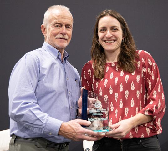
YOUNGER GEOSPATIAL PROFESSIONAL REBECCA LEHMAN
TEAM ACHIEVEMENT IN LIDAR COLORADO SPRINGS UTILITIES
ASPRS PHOTOGRAMMETRIC FAIRCHILD AWARD to view the
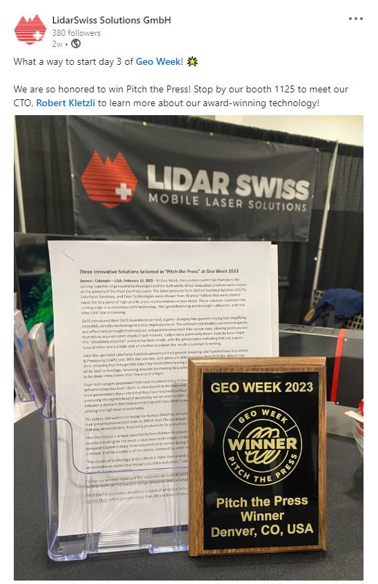
Three Innovative Solutions Selected in “Pitch the Press” at Geo Week 2023


CARLA LAUTER
At Geo Week, the premier event that champions the coming together of geospatial technologies and the built world, three innovative solutions were chosen as the winners of the Pitch the Press event. The latest products from Oxford Technical Solutions (OxTS), LidarSwiss Solutions, and Exyn Technologies were chosen from 16 presentations that were pitched rapid-fire to a panel of high-profile press representatives at Geo Week. These solutions represent the cutting edge in autonomous UAV technology, lidar georeferencing and boresight calibration, and real-time UAV lidar processing.
OxTS introduced their OxTS Georeferencer tool, a gamechanging lidar georeferencing tool simplifying incredibly complex technology to a truly impressive level. This software tool enables surveyors to quickly and effectively boresight their payload, and georeference their lidar sensor data, allowing professionals to produce accurate point clouds in just minutes. Judges were particularly blown away by how simple this “absolutely essential” process has been made, with the presentation indicating that just
a quick tutorial video and a simple click of a button produces the results a surveyor is seeking.
UAV lidar specialist LidarSwiss Solutions presented their groundbreaking Lidar Synchronous Acquisition & Processing (LSAP) tool. With this solution, UAV pilots are able to acquire their RGB lidar data in real-time, ensuring that they get the data they need before leaving a site. Judges were impressed by the first-of-itskind technology, returning accurate positioning data within the drone to allow for quality control to be done immediately after the end of a flight.
Geo Week 2023 Post-Show Report 32 PITCH THE PRESS
PITCH THE PRESS
Exyn Technologies presented their new ExynAero EA6 airframe for autonomous UAV flights. This new airframe integrates Exyn’s best-in-class ExynAI technology with the Osprey airframe from Easy Aerial. In their presentation they noted that they have reached level four autonomy with their ExynAI technology, producing the highest level of autonomy we’ve seen to date. Used primarily in mining right now, Exyn indicates a desire in their new partnership with Easy Aerial to expand their platform into more use cases utilizing this high level of autonomy.


The judges also wanted to recognize Aurivus GmbH as an honorable mention in this competition for their presentation on their Scan-to-BIM AI tool. The panel was impressed with the return on investment that was demonstrated, improving productivity by as much as 50 percent.
Pitch the Press is a unique opportunity for exhibitors to present their products to a group of editors and reporters looking for the most unique new technologies on display at Geo Week. Sixteen exhibiting companies opted to share their new product or service during the one-hour event. Each exhibitor gave a 2-minute brief to members of the media, followed by a one-minute Q&A.
“The display of technology at Geo Week is more diverse and advanced than it’s ever been, highlighting an incredible evolution that impacts countless industries,” said Jeremiah Karpowicz, Editorial Director at Diversified Communications.


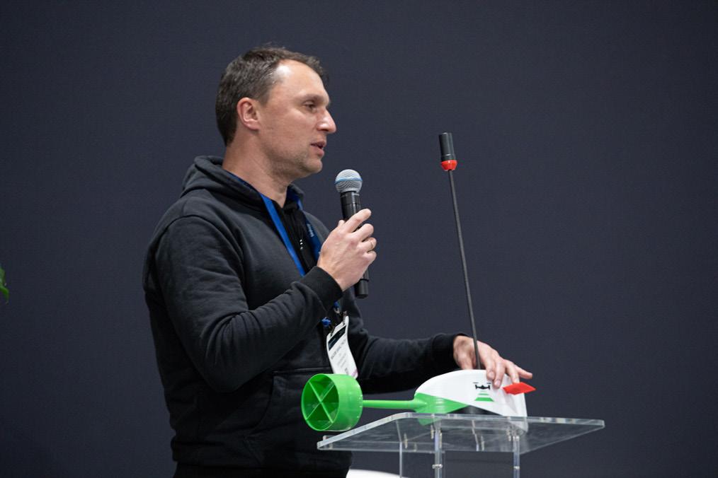

“While our winners represent this evolution on multiple levels, what stuck out to our judges was how each of them can measurably change processes and expectations for users of all types.”
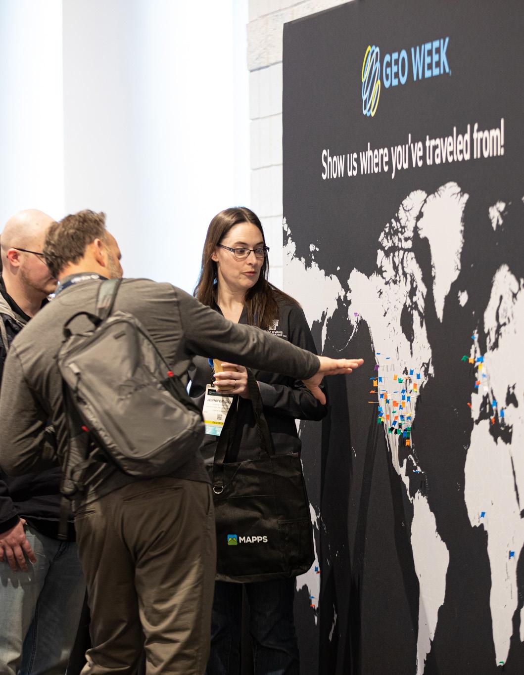
Pitch the Press provides attendees a sense of what products can be further explored on the Geo Week Exhibit Floor, which contains more than 190 exhibitors from around the world. Understanding the opportunities that companies like OxTS, LidarSwiss Solutions, and Exyn Technologies are creating is just the beginning of where and how their respective industries will advance.
The “Pitch the Press” judging panel included Gavin Schrock, geospatial technology writer, Ananyaa Narain, Vice President, Commercial Project Team, Geospatial World Consulting, Dawn Zoldi, Founder and CEO of P3 Tech Consulting LLC, and Matt Collins, Content Specialist, Geo Week News.
Geo Week 2023 Post-Show Report 33
PITCH THE PRESS WINNERS
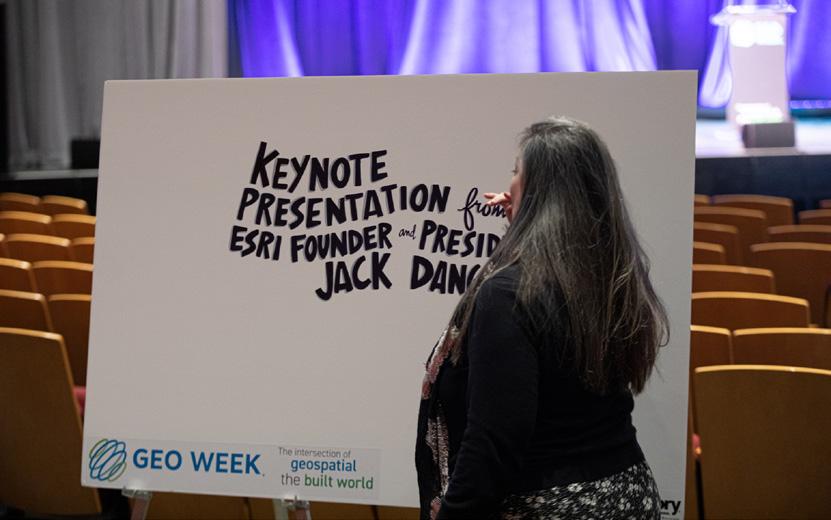
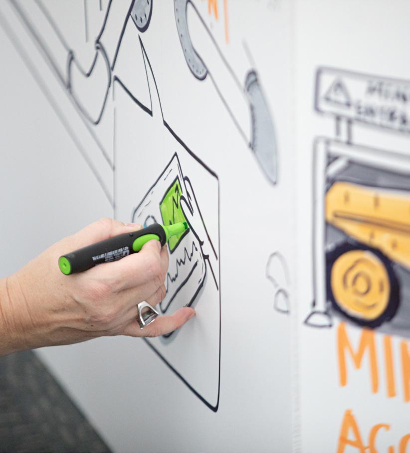
INTERACTIVE ONSITE MURALS



Geo Week 2023 Post-Show Report 34
Produced by







Geo Week 2023 Post-Show Report 35
Produced by
NETWORKING EVENTS
SOCIAL IMPACT

I was really happy to look at the audience that attended this event, it was pretty diverse.”
- Barbara Ryan
World Geospatial Industry Council
Social Responsibility
Geo Week is accountable and committed to contributing to the well-being of communities and society through environmental and social measures.
Geo Week Elevating Sustainability
As a leader in the global expositions and conference industry, Diversified Communications, the organizer of Geo Week, recognizes its responsibility to understand and prioritize actions to reduce the carbon impact of the events it produces. Learn what we are doing at Geo Week, and what you can do to help.




Geo Empower
LEARN
Geo Week is part of Diversified Communications’ Diversity, Equity + Inclusion efforts to drive discussions and actively advance the principles of racial equality, social justice, and inclusion. Through these efforts, we aim to influence and grow an ecosystem for the open exchange of ideas and the ongoing pursuit of best practices. Learn more about Geo Week’s diversity, equity, and inclusion initiative and how we can support your efforts in this area.
LEARN
Produced by
Geo Week 2023 Post-Show Report 37 SOCIAL
IMPACT
MORE
MORE
2023 ADVISORY BOARD











 Martin Flood GeoCue Group Inc.
Birgitta Foster Sandia National Laboratories
Thomas Haun Turner Staffing Group
Kourosh Langari Caltrans
Lindsay Prichard-Fox TiverBuilt
Amar Nayegandhi Dewberry Engineers Inc.
Barbara Ryan World Geospatial Industry Council (WGIC)
Scott Simmons Open Geospatial Consortium (OGC)
Dr. Jason Stoker U.S. Geological Survey USGS
Daniel Stonecipher Schneider Electric
Dr. Stewart Walker LIDAR Magazine
Jennifer Wozencraft U.S. Army Corps of Engineers
Dr. Qassim Abdullah Woolpert
Kevin Dowling Kaarta
Ashley Chappell NOAA
Kelly Cone ClearEdge3D

geo-week.com The intersection of geospatial the built world Produced by SAVE THE DATE! February 11-13, 2024 DENVER, CO - USA Geo Week News newsletters keep you informed about what is going on in the 3D, AEC and geospatial/lidar industries, and provide exclusive insights, case studies and interviews to keep you in the know. Sign up for our newsletters to follow the latest developments! SUBSCRIBE TO GEO WEEK NEWS! LIDAR & GEOSPATIAL NEWSLETTER 3D TECHNOLOGY NEWSLETTER AEC INNOVATIONS NEWSLETTER


 Lee Corkhill Group Event Director
Carla Lauter Conference Chair


 - Xander Muniz Blue


 - Carla Lauter


 - Sanjay Shenoy Nowak & Fraus Engineers


 - Daniel Poloz Deep Scan Studio


 - Alex Hill-Stosky Eagle Telecom Ltd


