


We hope you enjoy your visit. From our world-class museums to the beautiful landscape, we have something for everyone here.
If you are into cycling, you will love our scenic touring routes. Motorcyclists come for the miles of country roads winding through towering forests.
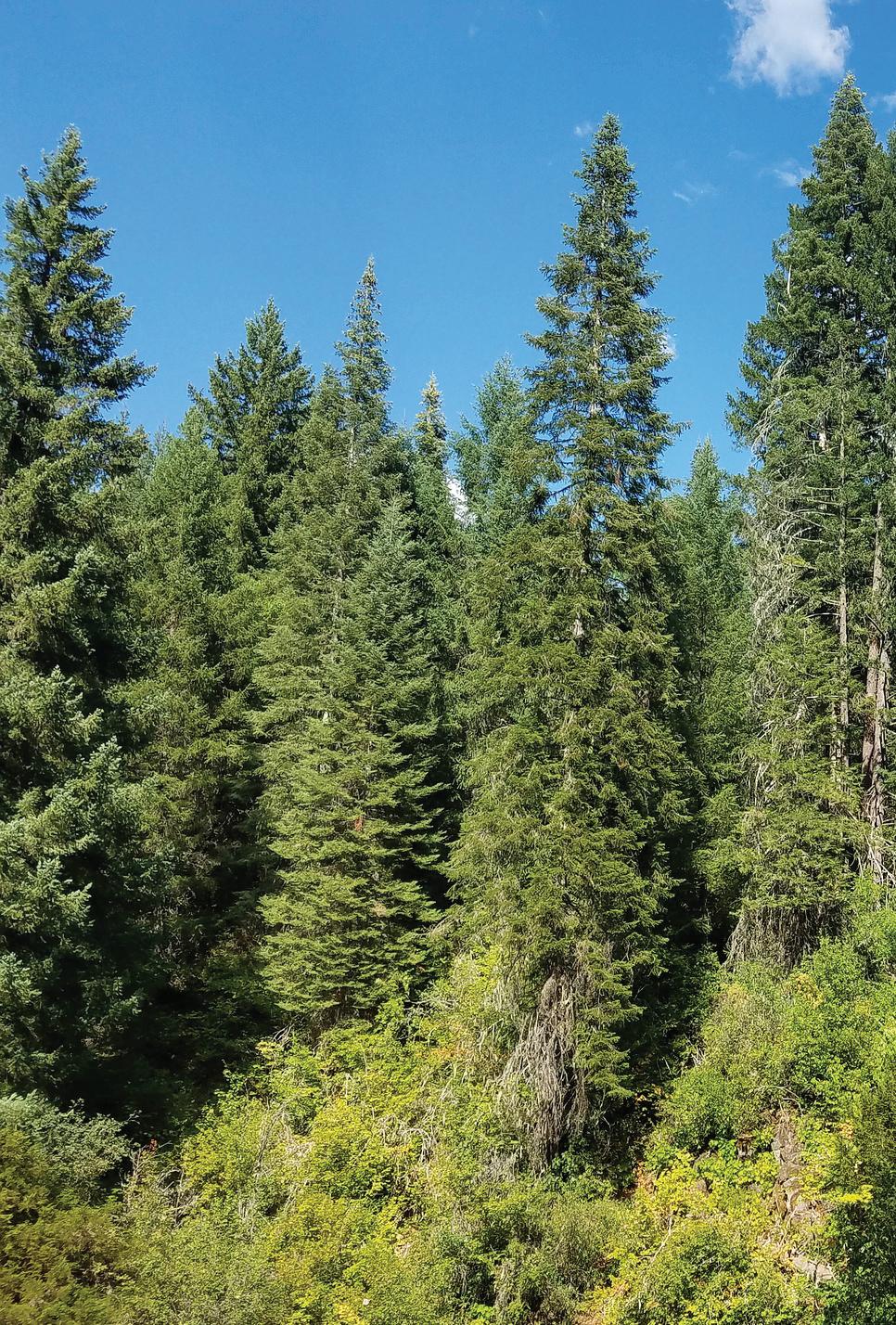
Grant County shares four national forests with surrounding counties. They are filled with wildlife, birds and varied species of conifer trees.
For the water lovers, the John Day River flows from its headwaters above Prairie City through John Day, Mt. Vernon and Dayville to Kimberly and Monument, where the fishing, rafting and kayaking are great!
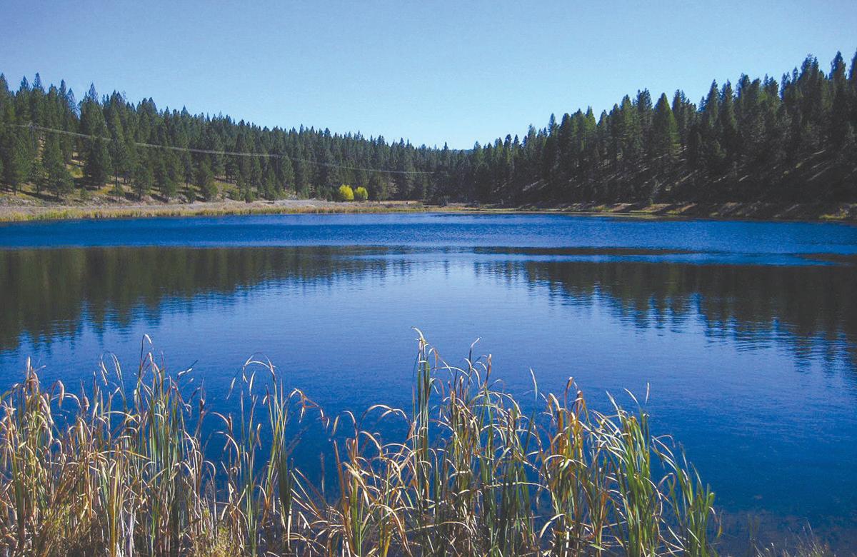
Our serene mountain lakes are abundant. Magone Lake is an easy drive from Prairie City, John Day or Mt. Vernon, and the swimming and wading beach is a local favorite! Olive Lake in northern Grant County is more remote, but like Magone, it offers camping, boating, fishing and hiking. Last, but not least, the region’s crown jewel is Strawberry Lake, sitting at 6,200 feet in the Strawberry Mountain Wilderness. Hikers who take a short trail into “the Strawberries” are amply rewarded with beautiful vistas, solitude, and some pretty good fishing. For a little longer hike, head up to Little Strawberry Lake and see the falls and mountain goats.
Each of our nine small cities has its own distinct eateries, hotels and inns, parks and walking paths. Our visitors enjoy minimal crowds and traffic. You will be welcome wherever you stop.
We hope you will stay a few days and enjoy what Grant County has to offer. Tell your friends and come back soon!
Tammy Bremner
We are glad you are here.Photo by Robert G. Brown Grant County Chamber of Commerce manager

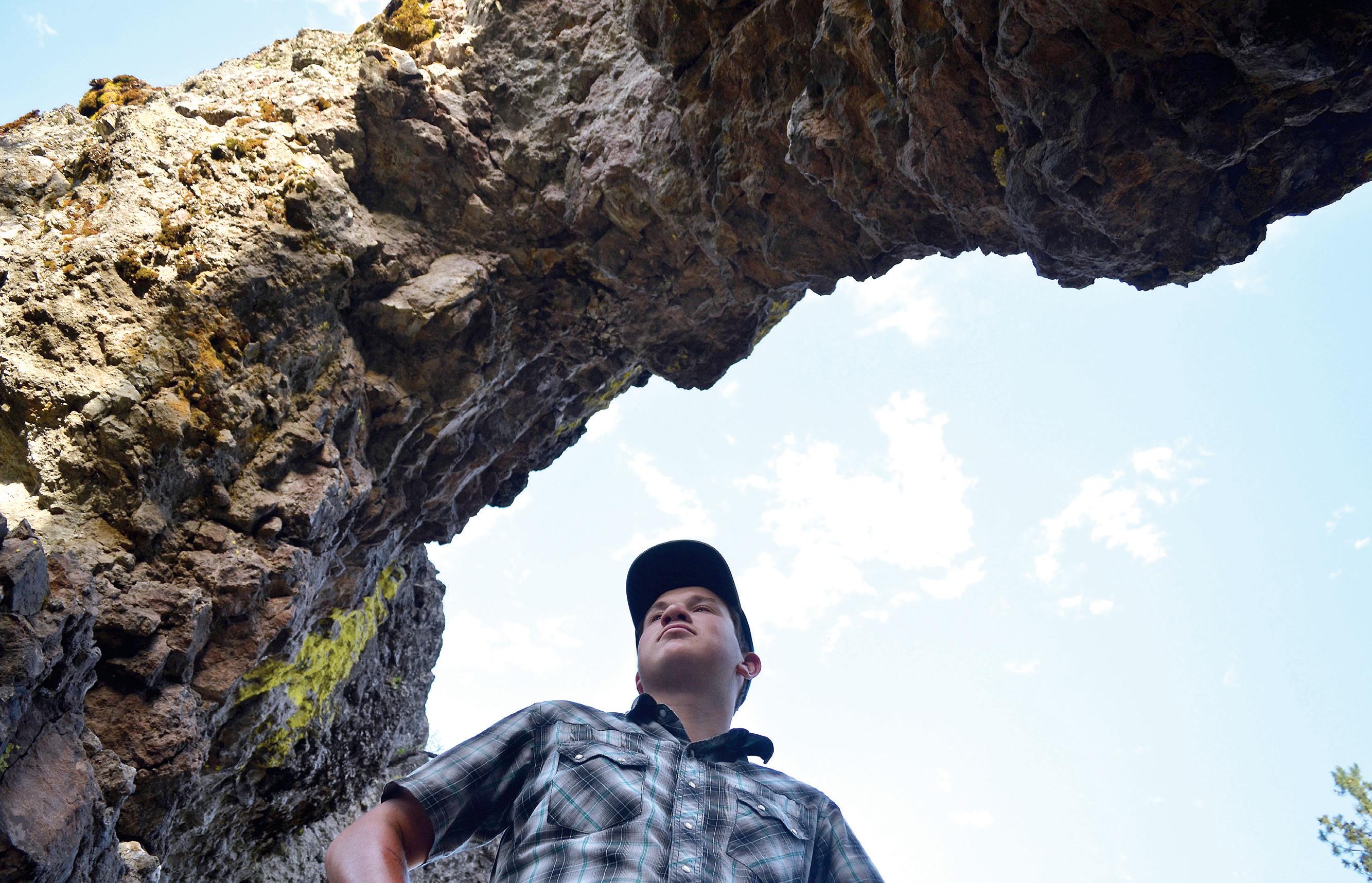
1. Arch Rock
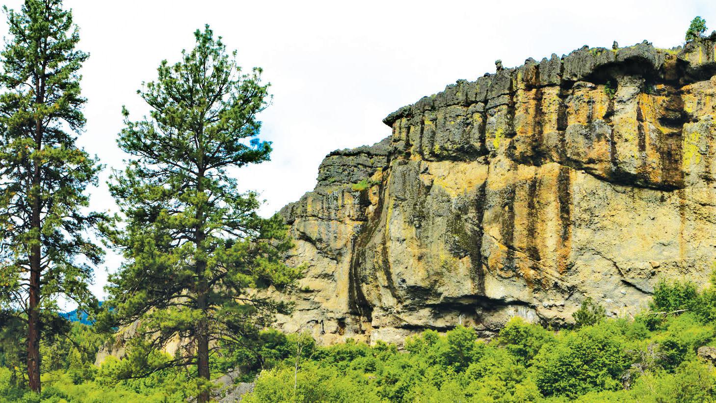
A natural phenomenon carved eons ago out of volcanic ash flow tuff. The short, uphill trail to see the arch lies within the Malheur National Forest just off Forest Road 36 north of John Day.
2. Strawberry Lake
Unreachable by vehicle, this pristine mountain lake offers stunning scenery and peaceful solitude. County Road 60 leads south from Prairie City about 11 miles to the Strawberry Campground. Visitors will need to make the 1.5-mile hike from the campground to reach the lake. Visitors can hike another mile from the lake to reach Strawberry Falls.
3. Silvies Valley Ranch
Guests at this luxury resort south of Seneca can explore an authentic cattle ranch, feast on gourmet cuisine, sit on a blanket under more stars then they could ever imagine, learn how sustainable beef and chevon is raised, test their shooting skills or try their hand at one of several golf courses, including: two reversible, 18-hole courses, a seven-hole challenge ridge course or a mountain meadow nine-hole par three course.
4. John Day Fossil Beds National Monument
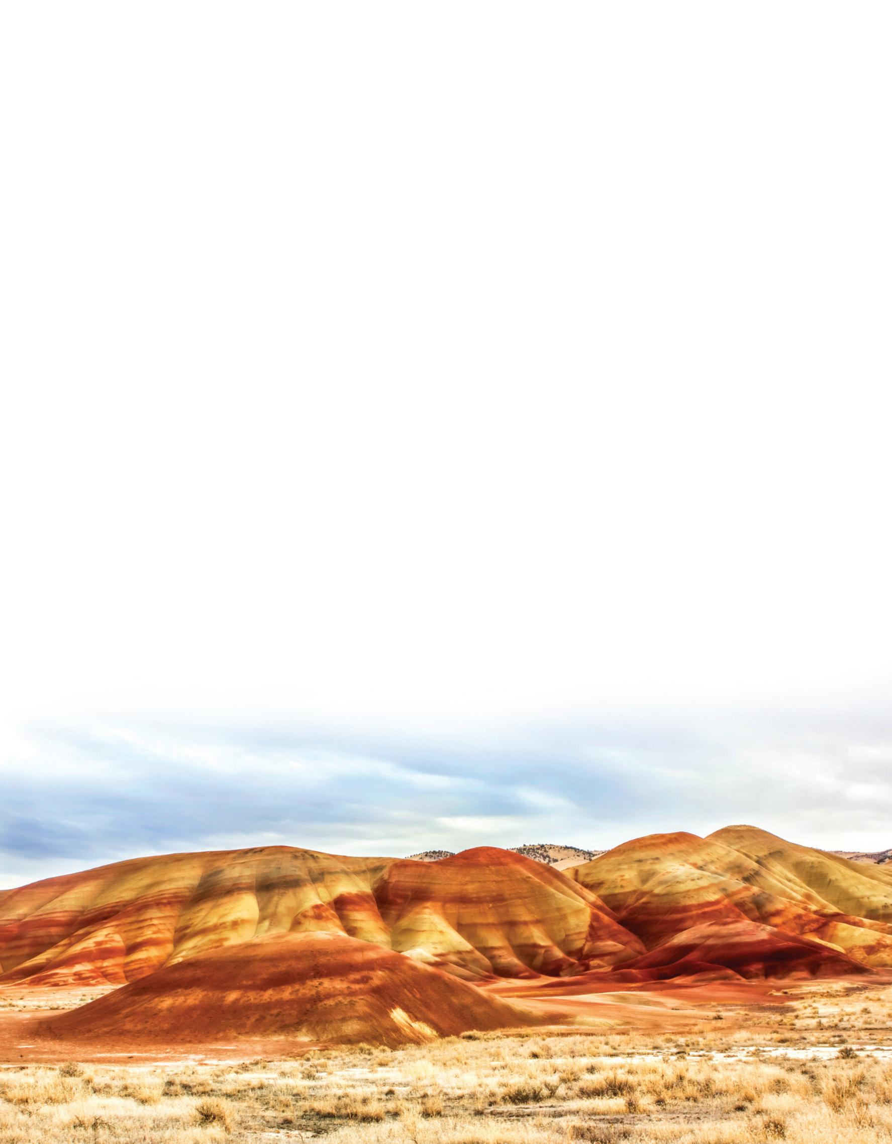
Complete with picnic areas, hiking trails and a fascinating visitor center, John Day Fossil Beds National Monument provides a short course on the 40 million years between the extinction of the dinosaurs and the start of the Ice Age. The monument is comprised of three units — Sheep Rock, Painted Hills and Clarno. Together the three sites span over 14,000 acres of land.
5. Kam Wah Chung State Heritage Site
Originally a Chinese medical clinic, general store, community center and residence run by two Chinese immigrants, Ing “Doc” Hay and Lung On, the building was donated to the city of John Day following Doc Hay’s passing and now serves as a tool in the interpretation of local Chinese history. Kam Wah Chung sat undisturbed for almost 20 years before it was restored and reopened as a museum. The building has largely been kept exactly as it was found by historians.
6. Magone Lake
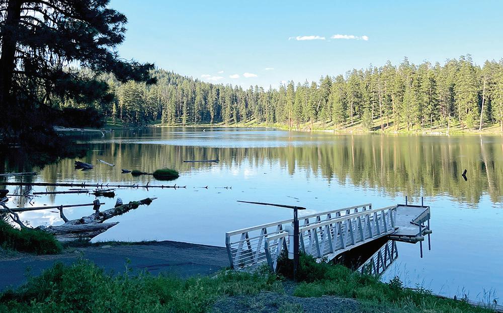
Located 26 miles north of John Day off County Road 18, Magone Lake offers a wide range of recreational activities. The lake is stocked with 8- to 15-inch eastern brook and rainbow trout, making it an ideal fishing location. A 1.5-mile trail skirts the edge of the water, offering an easy hike for everyone in the family. A sandy beach provides a perfect place for building sandcastles, catching a crawfish or two or swimming in the shallow waters close to shore. More adventurous swimmers can venture out to the tree stump in the middle of the lake, which makes for a great diving spot.
7. Clyde Holliday State Park
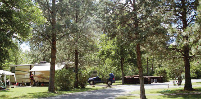
Sitting next to the John Day River, Clyde Holliday State Park offers camping beneath towering cottonwood trees. Visitors may spot elk and mule deer grazing nearby or catch steelhead coming upriver to spawn at the 43-acre state park. Camping facilities feature 31 RV sites with electrical hookups, two tepees, a hiker/biker camp, hot showers and flush toilets, firewood and ice available for purchase, an RV dump station, horseshoe pits and an outdoor amphitheater complex with summer interpretive programs. The park is located on Highway 26, 1 mile east of Mt. Vernon and 8 miles west of John Day.
8. Seventh Street Sports Complex
A 23-acre multi-use complex located just a few blocks off Main Street in John Day, this park has something for everyone, including a mile-long paved trail that snakes around a tree-lined greenspace, baseball and softball fields, tennis and basketball courts, a fishing pond, splash pad, two playgrounds and sheltered picnic areas.
1.

2.
6.
Magone Lake
9. Olive Lake
A popular spot for boating, fishing, hiking and camping spanning 160 acres, Olive Lake sits at about 6,000 feet in the Blue Mountains, approximately 12 miles west of the old mining town of Granite. The remote lake has a number of attractions for visitors, including 28 campsites, picnic tables and a boat ramp with two docks.
10. Bare Bones Bowling Alley
Formerly known as Nugget Lanes, the bowling alley located at 679 W. Main St. in John Day has reopened under new management. Open Friday-Sunday from noon to 8 p.m. (the adjoining bar has later hours), Bare Bones Bowling Alley features six bowling lanes plus pool, foosball, shuffle puck, video games and a snack bar.


With thousands of acres of public land, there’s no better place to spend time in the great outdoors than Grant County. And if you’re looking for a place to camp, you’ll find plenty of places to choose from, with amenities ranging from RV hookups to no-frills dry camping. Turn the page for a complete listing of campgrounds in Grant County. But first, keep reading for some other options.
Sitting next to the John Day River only an hour away from some of Oregon’s most pristine wilderness areas, Clyde Holliday State Park offers camping beneath towering cottonwood trees. Visitors to the 43-acre park may spot elk and mule deer grazing nearby or steelhead rushing upriver to spawn.
Campground facilities include 31 reservable electrical sites with water and two reservable tepees for rent from March 1-Nov. 30, a hiker/biker camp, hot showers and flush toilets, firewood and ice for sale, an RV dump station, horseshoe pits and an outdoor amphitheater with summer interpretive programs. Reservations can be made online up to six months in advance at https://tinyurl.com/kw3xsanz.
Clyde Holliday State Park is located on Highway 26 a mile east of Mt. Vernon and 8 miles west of John Day.
Once the site of a thriving lumber mill and company town that operated from 1917 to 1975, the 131-acre Bates State Park lies along the Middle Fork John Day River and Bridge and Clear creeks. The park features 4 miles of hiking trails and an old mill pond where visitors often spot beavers and otters.
Campground facilities include 28 primitive sites for rent for tent camping or self-contained RVs, vault toilets, potable water, and a hiker/biker camp with six sites and electric plug-ins. Three campsites are accessible to campers with disabilities. Camping is first-come, first-served from May 1 to Nov. 1. A day-use area contains facilities for picnicking.
Bates State Park is located about 17 miles east of Prairie City on County Road 20 about a mile from the junction of Highway 26 and Highway 7.
For more information, visit oregonstateparks.org.
On the Malheur National Forest about 20 miles from John Day, Fall Mountain Lookout allows visitors to spend the night in a former fire lookout atop an 18-foot tower. A catwalk encircles the structure, providing 360-degree views of the surrounding areas, including the Strawberry Mountain Wilderness, Seneca and Mt. Vernon. The lookout can only accommodate two people and provides few amenities.
The Sunshine, Short Creek, Deer Creek and Murderers Creek guard stations — former outposts for firefighters — can also be rented.
Although most of the national forest campgrounds are firstcome, first-served, the tower and guard stations can be reserved online. For reservations and more information, visit recreation.gov.
See Grant County campgrounds map on pages 14-15




Grant County has no shortage of aquatic activities to enjoy, with a wealth of rivers, streams and lakes.
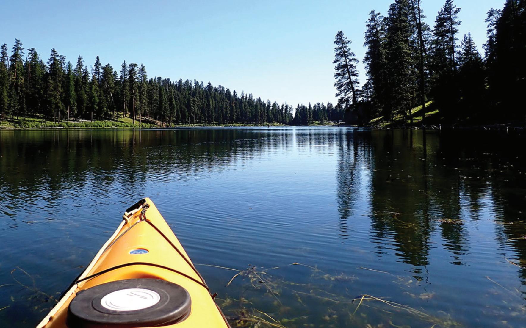
Whether it’s fishing, floating, swimming or just relaxing on the water, there is something for everyone.
The John Day River, one of the longest undammed rivers in the U.S., flows through Grant County.
The three separate forks, North, Middle and South, offer Class 1 and Class 2 rapids. With no dams to control water flow, the rapids and water levels fluctuate and should be scouted ahead of time. March to June, depending on the water level, is usually the best time to float or paddle the John Day.
For current rules and flow-level forecasts, contact the Bureau of Land Management’s Prineville office at 541-416-6700.
Additional information is available from the Oregon Parks and Recreation Department at 503-986-0707 and the Grant County Chamber of Commerce at 541-575-0547.
Magone Lake, a Grant County gem, offers abundant opportunities for fishing, paddling and swimming in the lake’s shallow edges or areas in the middle where the water can be as deep as 100 feet. The lake features a 1.5-mile trail along the water’s edge that is accessible for all fitness levels.
For a more remote getaway, try 160-acre Olive Lake, which sits at about 6,000 feet in the Blue Mountains, roughly 12 miles west of the historic mining town of Granite. With 28 campsites, picnic tables, a boat ramp and two docks, this high country lake has a host of attractions for visitors.

 01181 - Huffmans - Page 1 - Composite
01181 - Huffmans - Page 1 - Composite
01181 - Huffmans - Page 1 - Composite
CALL OUR OFFICE TODAY FOR A FREE MARKET ANALYSIS.

Thank you Grant County for another successful year!
We are now celebrating 47-plus years as Grant County’s oldest locally owned Real Estate Company. We are proud to be able to live and raise our families in Grant County. We are your neighbors and work alongside of you every day in an effort to make Grant County a better place to live.
Like you, we pay local and county taxes, support our schools, the hospital, and serve on various boards and committees, and contribute our time and money to many worthwhile causes such as:
Special Olympics - CASA - American Legion - Senior Meals - G.C. Ministerial Association - Grant County Fair - Chamber of Commerce - Timber Truckers Light Parade - Boy Scouts - FFA - Little League - Volleyball - Grad Night - BowHunters - John Day Golf Course - Carrie Young Memorial - Kam Wah Chung MuseumSeneca PTA - Awana - local churches - charities - special events, and the list goes on.
In today’s ever changing times of sophisticated financing and continuing change of legal procedures, it is very difficult for the average property or business owners to buy, sell or trade his or her own property, and be assured that no problems will emerge at a later date. Trained professional real estate assistance will insure that all current laws and procedures are followed and that a happy and satisfied seller and buyer relationship exists.
If you are thinking of buying or selling real estate, give us a call. We hope that you will support a local realtor who lives in the area, understands our market and is available on short notice to assist with unscheduled visitors.
We appreciate your business!
Your friends at Eastern Oregon Realty
Jerry, Traci, Pete & Rene’
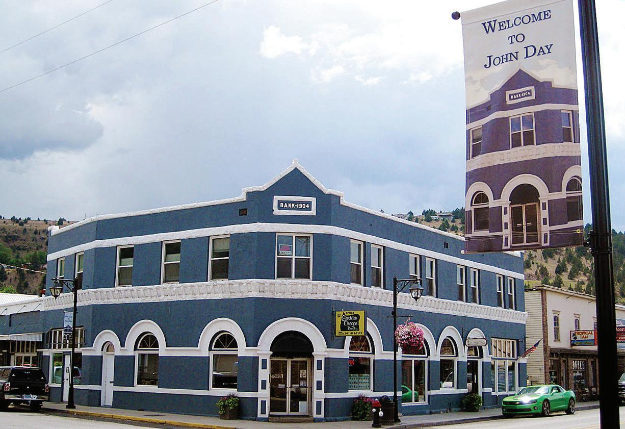




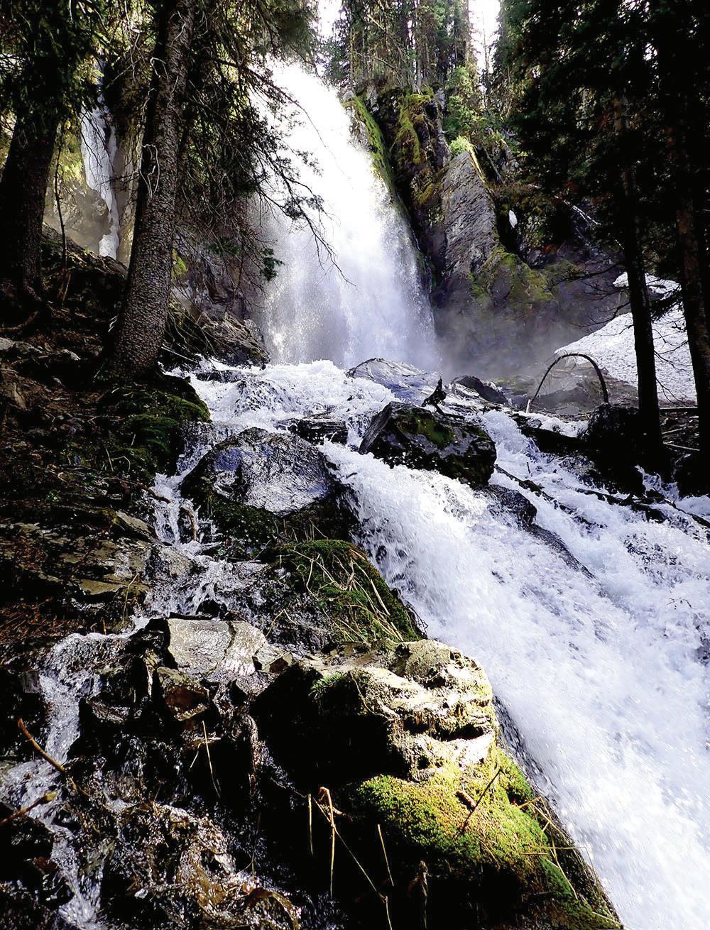
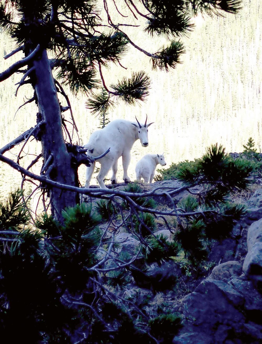
From a relaxing stroll around a tranquil lake to an exhilarating trek to a mountain summit, hikers of all abilities will find something to love in Grant County. A wide range of hiking adventures await you here, from short loops to multiday backpacking trips. Here are a few of our favorite trails.
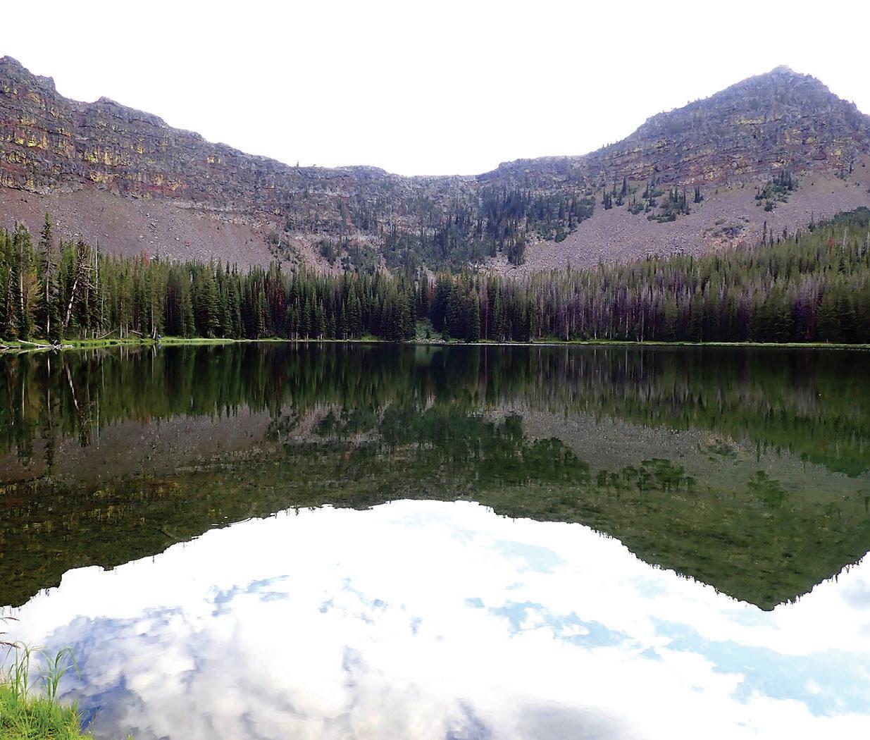
This delightful 1.5-mile loop, with informational plaques spaced at intervals, provides a wonderful introduction to Magone Lake, a favorite warm-weather getaway for Grant County locals. Nestled in a forest of old-growth ponderosas, the lake has a campground, picnic area and boat dock for paddlers and fishermen.
Directions: From Highway 26 between John Day and Prairie City, turn north on County Road 18 to Forest Road 3620. Go south on 3620 to Forest Road 3618. Turn west on 3618 to the Magone Lake Day Use Area.
This short, easy hike, suitable for families with children, leads to a rock arch in a formation of welded tuff, with a number of small cavelike openings eroded into the stone.
Directions: From Highway 26, about 10 miles east of John Day, turn north on County Road 18. Follow this road for approximately 10 miles to the junction of Forest Service Road 36. Follow Forest Road 36 along Camp Creek to the junction with Forest Road 3650. Follow Forest Road 3650 to the junction of Forest Service Road 3650-468, where the trailhead is located.
Monument Rock
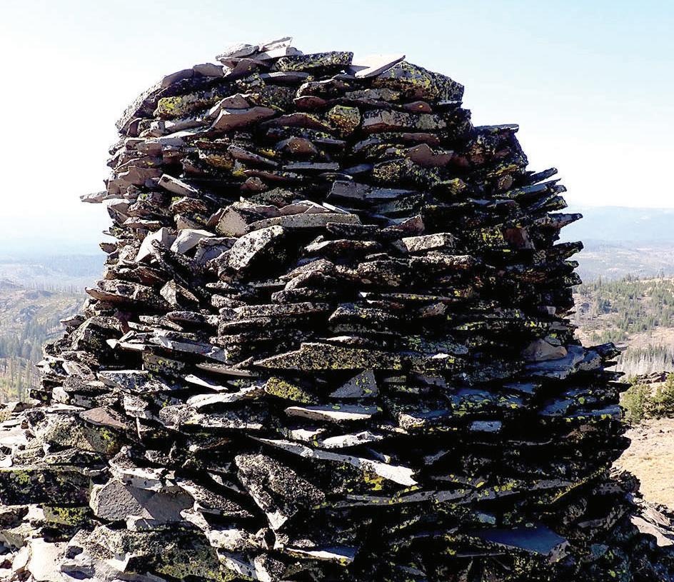
An air of mystery surrounds this hike’s destination, a manmade cairn of rock piled into a massive, 8-foot-high cylinder atop a remote butte at 7,736 feet. It’s not entirely clear who built this isolated landmark, whether native Paiute Indians, wandering prospectors who explored the area in the 1860s or lonely Basque sheepherders who grazed their flocks here in the early 1900s. It’s something to wonder about as you enjoy the summit views. Be sure to carry a good map or guidebook with you for this hike, which gains 500 feet over a roundtrip distance of 5.6 miles: the trails are not always well-marked. The access road, too, can be a bit of a challenge for passenger cars.
Directions: From downtown Prairie City, turn south at a sign for Depot Park and Strawberry Lake. From the stop sign at a T intersection, turn left on what becomes County Road 62 and continue for 8 miles. Turn left on Road 13, continuing for 11.7 miles on this paved road before turning left onto gravel Road 1370 at a sign for the Little Malheur River. Take the left-hand fork at 4.4 miles to stay on Road 1370, then go right in anther 1.5 miles following a sign that says Table Rock L.O., then go left after another 0.2 mile. At this point the road turns rough, though it’s passable with good clearance and decent tires. Continue 3.8 miles to a switchback with a message board and a small parking area.
Slide Lake
For a less crowded alternative to the popular Strawberry Lake, the trail to Slide Lake is hard to beat. From the Strawberry Basin Trailhead, you’ll climb gradually through pleasant woods for 1 mile, then go left at the junction with the Slide Basin Trail. After another mile of steeper climbing, you’ll come to another junction. Washouts have made the trail impassable beyond this point, so go left on the Tie-In Trail. After another mile you’ll rejoin the main trail, and a half-mile after that you’ll turn left on a side trail down into beautiful Slide Lake. As a bonus, follow a short user trail at the head of the lake to lovely Little Slide Lake. Watch for mountain goats in the rocks towering above the lake basin. 8 miles round trip, with 1,500 feet of elevation gain.
Directions: From downtown Prairie City, turn south on Bridge Street at a sign for Depot Park and Strawberry Lake. From the stop sign at a T intersection, go left for two blocks, then turn right at the Strawberry Campground sign onto Bridge Street, which soon becomes County Road 60 and then Forest Road 6001. The road ends after 10.7 miles (including about 7.5 miles of gravel) at Strawberry Campground, where you’ll find a parking area and the trailhead just beyond the vault toilets.
Strawberry Mountain
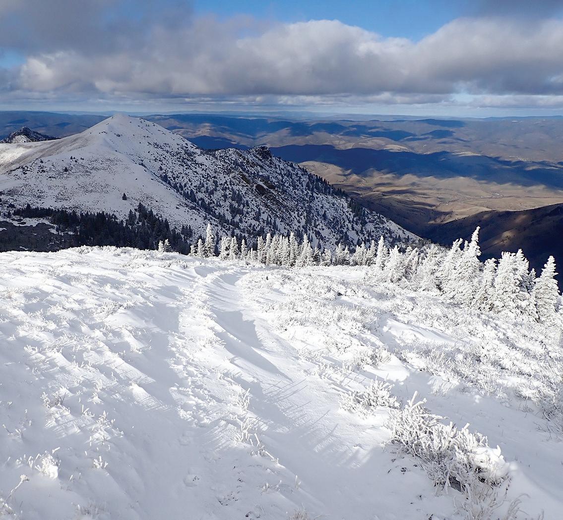
Strawberry Mountain is the centerpiece of the 19,620-acre Strawberry Mountain Wilderness, a rugged landscape draped in conifer forest and dotted with scenic lakes and tumbling streams. At 9,038 feet, Strawberry Mountain is also the highest peak in the wilderness, offering far-flung vistas from its rocky, pyramidshaped summit — and a challenging day’s walk for fit, experienced hikers, with 3,300 feet of elevation gain and a roundtrip distance of 12.8 miles. Along the way you’ll pass scenic Strawberry Lake and Strawberry Falls, either of which makes a fine destination for a shorter hike. Watch for mountain goats as you climb into the high country, where sweeping views of the John Day Valley open up before you.
Directions: From downtown Prairie City, turn south on Bridge Street at a sign for Depot Park and Strawberry Lake. From the stop sign at a T intersection, go left for two blocks, then turn right at the Strawberry Campground sign onto Bridge Street, which soon becomes County Road 60 and then Forest Road 6001. The road ends after 10.7 miles (including about 7.5 miles of gravel) at Strawberry Campground, where you’ll find a parking area and the trailhead just beyond the vault toilets.
Fields Peak
Perched atop the Aldrich Range, 7,362-foot Fields Peak is the highest point between the Strawberry Mountains and the Cascades. The summit offers spectacular, 360-degree views, but it takes work to get there — the 2.3-mile trail (each way) packs 1,850 feet of elevation gain, most of it crammed into the steep final push to the top. Popular with hunters during the season, this trail gives access to Fields Peak and McClellan Mountain. The Fields Peak Trail is open to motorized vehicles, while the McClellan Mountain Trail is not.
Directions: From John Day, travel west on U.S. Highway 26 approximately 18 miles to Forest Road 21. Drive south on Forest Road 21 approximately 8 miles to Forest Road 2100115. There will be a sign along the road indicating the direction to McClellan Trailhead. Drive east on Forest Road 2100115 for ¼ mile to Forest Road 2160. Drive south on Forest Road 2160 for a short distance to Forest Road 2160041. Continue driving south on Forest Road 2160041 to the trailhead. Parking is available for several passenger vehicles and stock trailers.

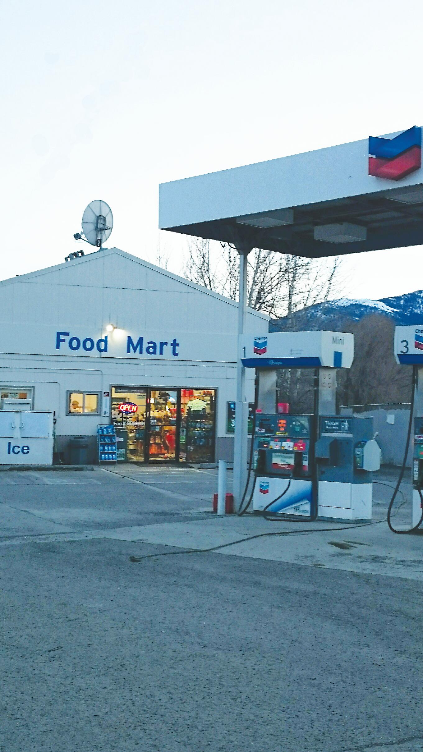
When you’re on a road trip, there’s no more welcoming sight than a good country store. You can fill your gas tank, get a fresh cup of coffee, stock up on camping supplies, fill the cooler with beer and pop, maybe even get a hot meal before getting back on the highway.
Luckily for travelers, Grant County has an abundance of wonderful country stores, each with its own unique flavor.
Every one is a little bit different, but all have one thing in common: They’re staffed by friendly folks who stand ready to help you on your journey, whether by refueling your rig, restocking your food box, filling your empty stomach, slaking your thirst or sharing nuggets of local knowledge about the best places to hunt, fish or camp.
So as you set out on your travels through Grant County, take time out for a pit stop at one of these rustic gems. Even if you don’t really need anything, you’ll be glad you stopped by.
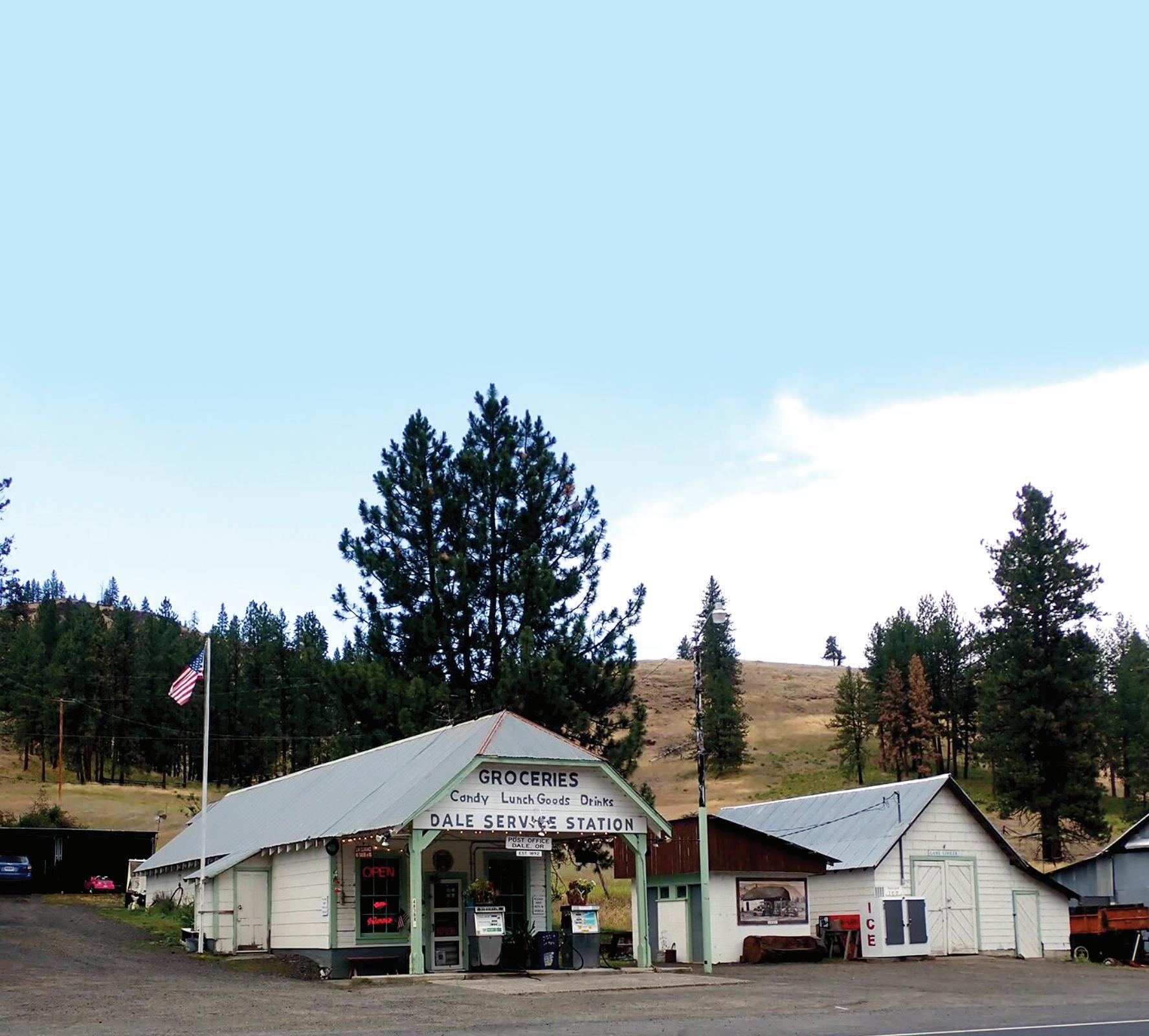
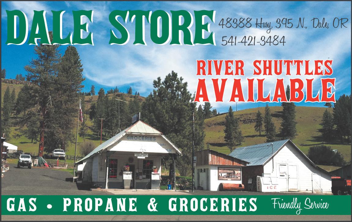
LOCATION: Highway 395 North in Dale, just south of the Umatilla County line
HOURS: 8 a.m.-5 p.m. Monday-Saturday and 9 a.m.-4 p.m. Sundays
PHONE: 541-421-3484
FUEL: Yes
THE BASICS: The little store has a small but surprisingly varied selection of camp food staples such as canned meat, beans, chili, stew, marshmallows, peanut butter and jelly, bread, mac and cheese, eggs and pancake mix; propane; an assortment of snacks and candy; as well as ice, cold beer and soda, and even a small freezer stocked with ice cream treats
CLAIM TO FAME: During rafting season, the Dale Store operates a car-shuttle service between a nearby put-in point on the North Fork of the John Day River and the takeout at Monument
ETC.: The store also serves as the community post office
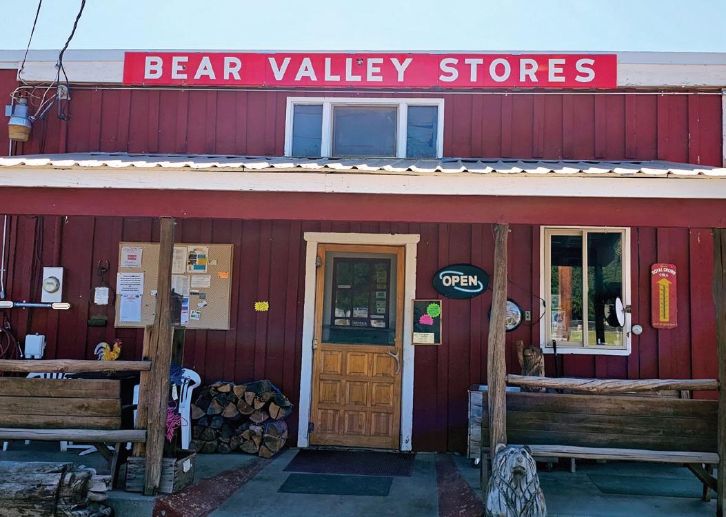
LOCATION: 209 Barnes Ave. (Highway 395), Seneca
HOURS: 5:30 a.m.-7 p.m. Monday-Saturday, 8 a.m.-5p.m. Sundays
PHONE: 541-542-9309
FUEL: Yes
THE BASICS: Cold beer, soda, and other beverages; cold and hot deli with sandwiches made fresh daily; snacks, chips, basic grocery items, ice cream; assorted fishing and camping gear, toilet paper, paper plates, charcoal and propane
CLAIM TO FAME: Fresh food and fresh sandwiches made daily; homemade lemonade made from Meyer lemons
ETC.: If you can’t find what you’re looking for on the shelves of the Bear Valley Store, a quick jaunt up the street takes you to Grandma’s Truck N’ Kitchen for a full menu of homemade foods and desserts
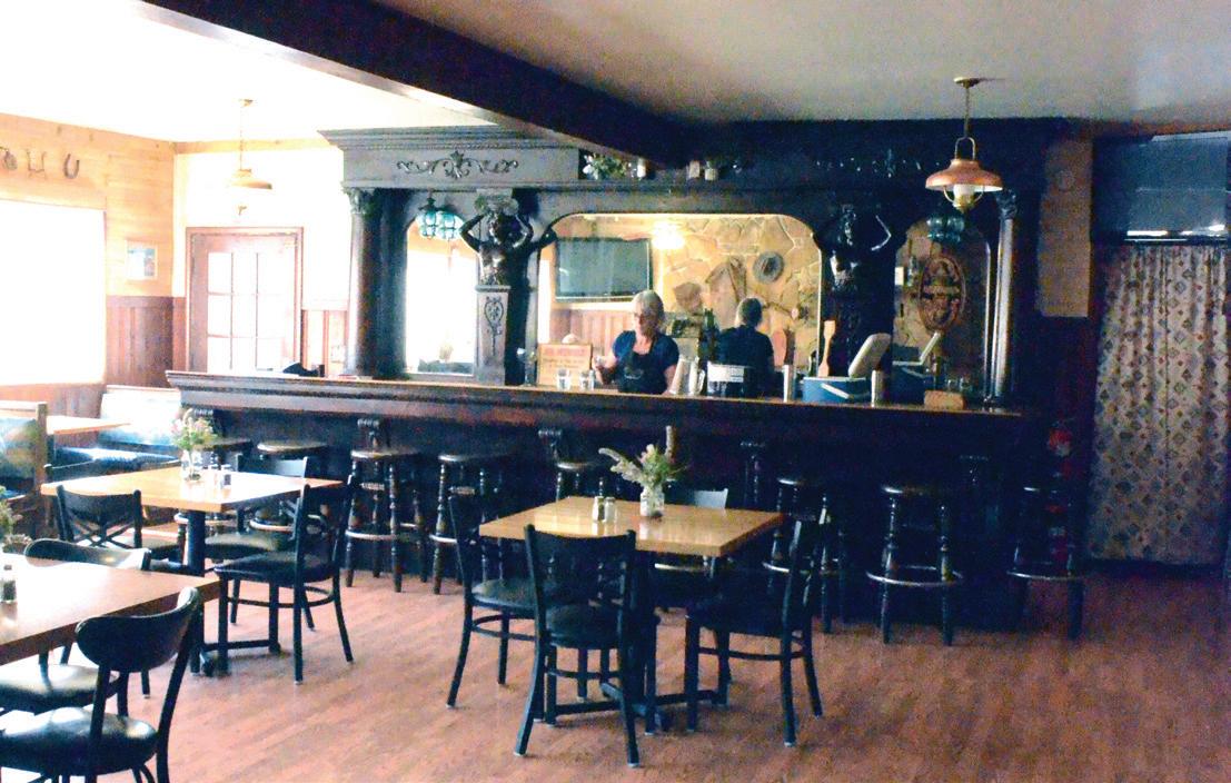
LOCATION: 75805 Highway 26, Austin Junction
HOURS: 11 a.m.-8 p.m. Thursdays, 8 a.m.-8 p.m. Fridays and Saturdays, 1 p.m.-6 p.m. Sundays, 8 a.m.-7 p.m. Mondays
PHONE: 541-448-2526
FUEL: Yes
THE BASICS: Ice, fuel, canned goods and dried fruits; beer and wine sales in bar; small assortment of camping and medical supplies such as lip balm and sunscreen
CLAIM TO FAME: Cafe environment provides a warm feeling that reminds patrons of home, according to owner Mindi Shelton
ETC: Full breakfast and lunch menu; dinner features a single entree; huckleberry ice cream and homemade pies sold by the slice; bar serves beer and wine; campsites behind main building
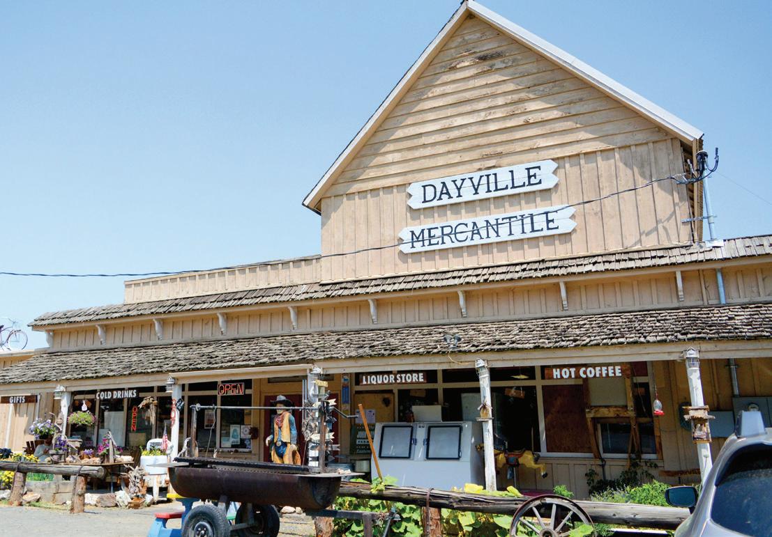
LOCATION: 207 Franklin St. (Highway 26), Dayville
HOURS: 8 a.m.-7 p.m. seven days a week
PHONE: 541-987-2133
FUEL: No
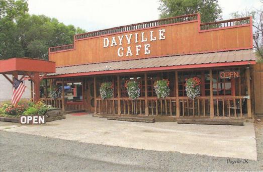
THE BASICS: Cold beer and soda; canned goods and dry goods; liquor; milk, eggs, bacon, orange juice; an ATM machine; antiques; homemade candy and baked goods; fossils; souvenirs
CLAIM TO FAME: One of the oldest continuously run general stores in Oregon, founded in 1896
ETC: An old dance hall from the 1950s occupies the second floor; free coffee for visitors

LOCATION: 100 E. Franklin Ave. (Highway 26), Dayville
HOURS: 7 a.m.-6:30 p.m. Monday-Saturday, 7 a.m.-5:30 p.m. Sundays
PHONE: 541-987-2411
FUEL: Yes
THE BASICS: Cold beer, soda, wine, milk, eggs, orange juice, cheeses
CLAIM TO FAME: Clean store and clean bathrooms
ETC: Town gathering place to talk and check up on people

LOCATION: 105 Highway 395 North in Long Creek
HOURS: 8:30 a.m.-7 p.m. Monday-Saturday, 9 a.m.-5 p.m.
Sundays; cafe open 8:30 a.m.-5:30 p.m. Monday-Wednesday, 8:30 a.m.-5:30 p.m. Fridays and Saturdays, 9 a.m.-4 p.m. Sundays
PHONE: 541-421-3332
FUEL: No
THE BASICS: Ice, cold drinks, beer and wine, milk, eggs, dairy, produce, frozen foods, an ATM, cigarettes and chewing tobacco
CLAIM TO FAME: Farm-to-table beef from Circle V Ranch in Fox Valley
ETC: In addition to groceries, supplies and gifts, the Long Creek Mercantile offers a welcoming cafe for the family open six days a week

LOCATION: 41345 Highway 19, Kimberly
HOURS: 8 a.m.-6 p.m. Monday-Saturday, 10 a.m.-4 p.m. Sundays (winter hours TBD)
PHONE: 541-934-2060
FUEL: Yes
THE BASICS: Fresh produce
ETC.: Features a selection of homemade goods and crafts and a giant bison head, in addition to a free library and a mini-museum of antique soda pop bottles
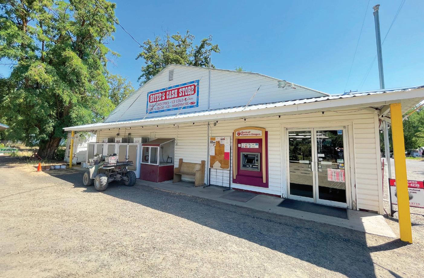
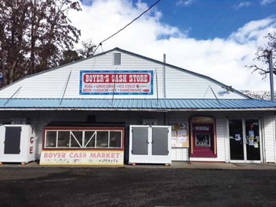
LOCATION: 335 John Day St. (just off Highway 402), Monument
HOURS: 8 a.m. to 6 p.m. seven days a week
PHONE: 541-934-2290
FUEL: Yes
THE BASICS: Sells fresh produce, milk, eggs, bacon, frozen meats, juice, frozen foods, beer, wine and liquor.
CLAIM TO FAME: Owned by three generations of Boyers, with historical photos lining the walls of the store (opened in 1927 as a Red and White Store and reopened in 1927 as Boyer’s Cash Store)
ETC.: Owner Jerry Boyer loves fishing, so the store carries a selection of fishing supplies for customers
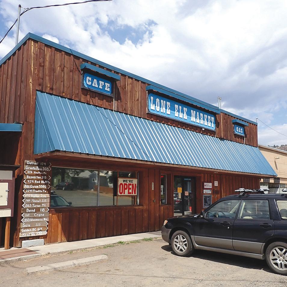
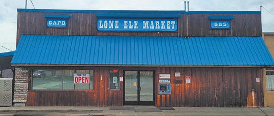
LOCATION: Highway 19 in Spray
HOURS: 5:30 a.m.-7 p.m. Monday-Friday, 6 a.m.7 p.m. Saturdays, 6 a.m.-6 p.m. Sundays
PHONE: 541-468-2443
FUEL: Yes
THE BASICS: Plenty of coolers stocked with a wide variety of beer, soda and other cold beverages; snacks, chips and candy; canned goods, ramen, bread, PB&J; ice, charcoal, paper plates, toilet paper; fishing rods and tackle
CLAIM TO FAME: A small restaurant, tucked into a back room of the store, is open for breakfast and lunch and is earning a reputation for its baked goods
ETC.: If you’ve already powered through your vacation novel and need something else to read, the Lone Elk Market has a little free library. Leave the book you just finished in exchange. Internet service can be spotty in Spray, which can sometimes knock out the store’s card reader. There’s an ATM on site in case you need some quick cash.






Looking for a place to rest and relax after a long day in the car? Pull over and check out one of Grant County’s many municipal parks.
Seventh Street Sports Complex
This 23-acre multi-use park features baseball and softball fields, a pond with fishing docks, walking and running paths, two tennis courts, a basketball court, a large covered picnic area, restrooms, a splash pad, play equipment and a skatepark. The main parking area can be accessed from Northeast Seventh Avenue just east of Bridge Street.
City Park
Adjacent to the Kam Wah Chung State Heritage Site, this quiet park at Northwest Canton Street and Ing Hay Way features a gravel path around a grass field and along Canyon Creek.
Hill Family Park
The city’s newest park, at the north end of Northwest Canton Street, is situated at the confluence of Canyon Creek and the John Day River. A footbridge crosses the river to connect with a multiuse path on the north bank.
Davis Creek Park
Four short trails meander among the pines and junipers of this park at 100 Valley View Drive. Some paths lead to elevated viewpoints or connect with the city trail system along the John Day River.
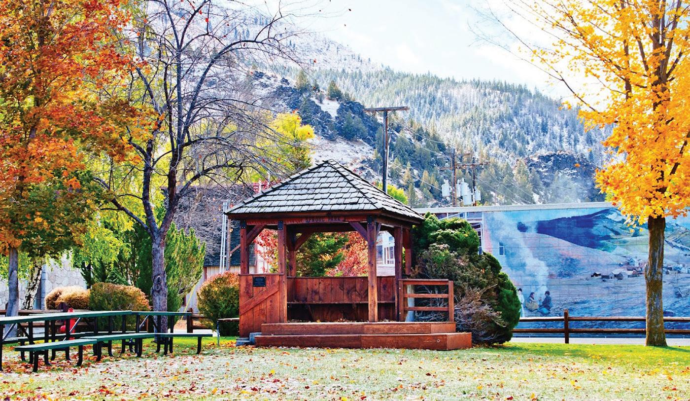
Sproul Park
This cozy park, at Washington and Park streets, features a gazebo, restrooms, a playground and picnic area.
City Park
Across from City Hall between Southwest Bridge Street and South McHaley Avenue, this grassy park features a gazebo, a large covered picnic area, a playground, horseshoe pits, basketball hoops and restrooms.
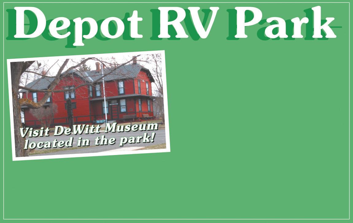
Depot Park
This park at South Main Street and Southwest Bridge Street features a large covered picnic area, a playground and restrooms. The DeWitt Museum and an RV park are onsite.
Phil Boyd Memorial Park
Just south of the highway in the center of town on Southeast Council Drive is Phil Boyd Park, with tennis courts, restrooms and a covered group picnic area.
Community Park
Along Highway 395 in the middle of town you’ll find a baseball field, horseshoe pits, a playground, a large covered picnic area, a cook shack and restrooms.

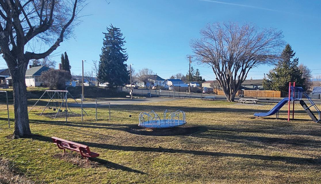
J. Dempsey Boyer Park
This shady park, at First and North streets, features a basketball and tennis court, horseshoe pits, barbecue grills with tables, a playground and restrooms.
City Park
Just off the highway at Main and Allen streets, this park features a basketball court, a picnic area, horseshoe pits and a playground.



Every Saturday, June 22nd through October 19th
October 18th and 19th Harvest Festival
We offer locally grown produce, baked goods, canned items and lots more. We want to support our local food producers and the entrepreneurs in our community. We envision being a community gathering place on Saturdays.

PO BOX 584, JOHN DAY 97845
• (541) 620-3152
GRANTCOUNTYFARMERSMARKET.COM
grantcofarmersmarket@gmail.com
follow us on facebook and instagram


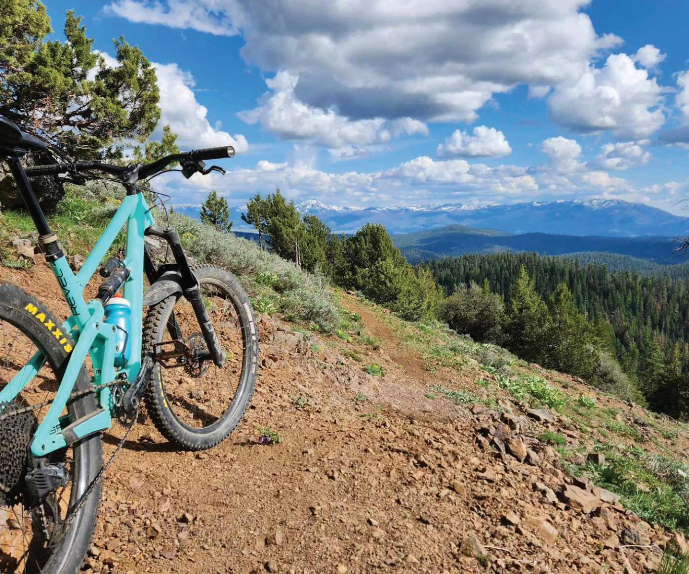
Mountain biking opportunities have steadily expanded in Grant County, thanks in large part to the efforts of the nonprofit Eastern Oregon Trail Alliance. The group’s hard work has paid off handsomely with a burgeoning network of trails in the woods around Magone Lake and an easy-to-reach bike park in John Day.
Contributed photo by Eastern Oregon Trail Alliance
Contributed photo by Eastern Oregon Trail Alliance
Centered around Magone Lake in the Malheur National Forest, the Magone Trail Network includes 27 miles of new mountain biking trails for outdoor enthusiasts of all levels, offering a diverse range of routes with views of the breathtaking Blue Mountains. Trails in the Magone Trail Network are accessed via three primary trailheads: Lake Butte, The Hub and Tinker Creek.
For more experienced mountain biking enthusiasts seeking a rush of adrenaline, the network’s more technical loops promise a thrilling ride, while newbies can ease into the sport on gentler, beginner-friendly trails. Moreover, hikers and trail-runners will find solace in the network’s accessibility and the stunning vistas it offers of the Blue Mountains.
The Magone Trail Network is the first single track purpose-built mountain bike trail system in the region. The creation of the Magone Trail Network was made possible through a collaborative effort between Eastern Oregon Trail Alliance and the Malheur National Forest with funding from the Oregon Parks and Recreation Department.
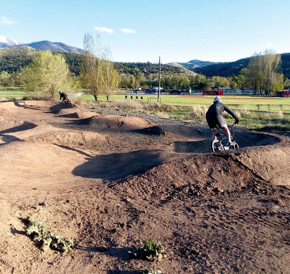
Located next to the Seventh Street Sports Complex in John Day, this easyto-get-to mountain biking playground was completed in 2018 by Eastern Oregon Trail Alliance in partnership with the city. The John Day Bike Park trailhead is located next to the John Day Pump Track within the city park and features 2 miles of riding paths, with two climbing trails and three fun, flowy descending trails, including a jump line.
The mountain bike trails at Seventh Street are perfect for families and beginner mountain bikers alike — offering fun and excitement for all skill levels.
Eastern Oregon Trail Alliance teamed up with the city of John Day to open the John Day Pump Track in 2020. Located at the northeast corner of the Seventh Street Sports Complex, the pump track features a looped sequence of rollers, berms and banked turns designed to maximize momentum and limit pedaling. The John Day Pump Track offers a fun and engaging experience for BMX riders of all ages.
103860 Schwab - Page 1 - Composite

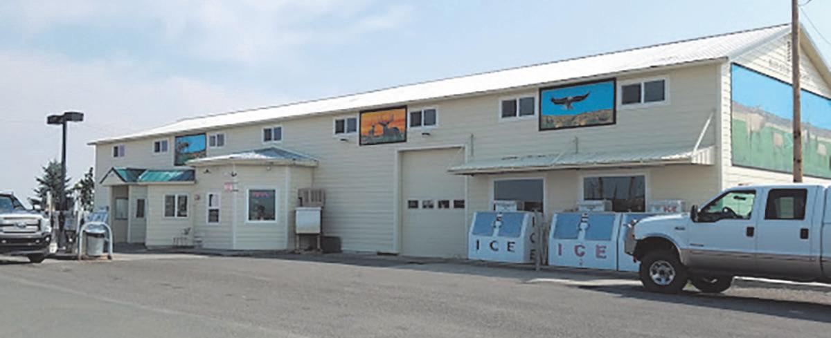

Gas Station • Convenience Store
Archery • RV Parking & Camping
6am-9pm, 7 days a week
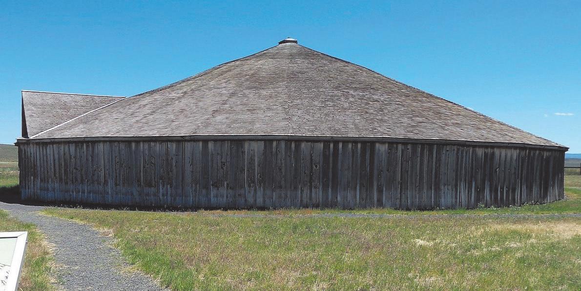
541-493-2527 • 17674 US-20 Riley, OR ROUND BARN VISITOR CENTER 51955 Lava Bed Rd. • Diamond, OR 888-493-2420 • www.roundbarn.net
BROADWAY DELI
Breakfast • Soups • Hearty Sandwiched • Pies
530 N. Broadway Ave
Burns Or 541-573-7020
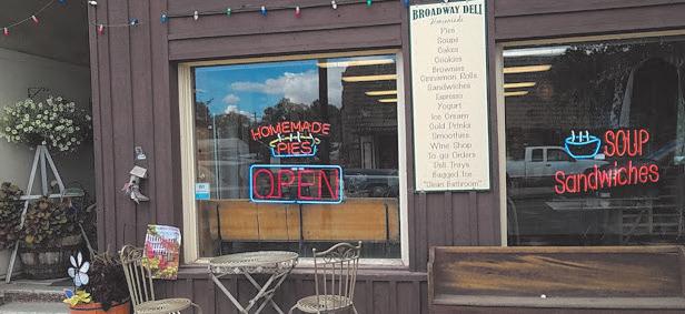
M-F 8:30am-4pm, Sat. 11am-3pm 541-573-7020

• COME ENJOY ALL HARNEY COUNTY HAS TO OFFER
• EASY ACCESS 1 BLOCK OFF HIGHWAY 20
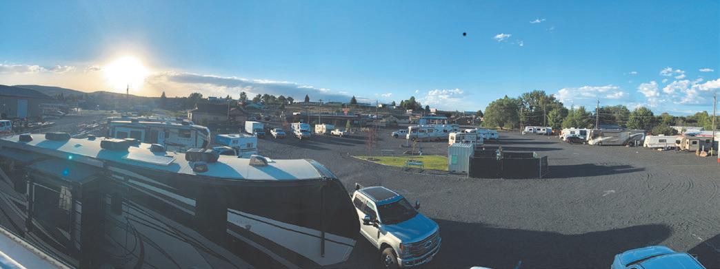
• 35 RV SITES ALL WITH FULL HOOK UPS ALL YEAR
• SHOWER UNITS
• DOG PARK AND PICNIC AREAS
• FREE HIGH SPEED INTERNET
• WALKABLE TO LOCAL RESTAURANTS
• BOOK ONLINE AT WWW.QUAILRIDGERV.NET
• 1314 W PIERCE STREET BURNS OREGON 97720 THE RILEY STORE




6 - Lake Creek Youth Camp Gala
541-620-8505 | 541-249-3946 https://lakecreekcamp.org/ lakecreekcamp@yahoo.com
13 - Second Saturday Live Music
Dayville Community Hall
541-987-2188 | gcoregonlive.com/cities/ dayville | dville@ortelco.net
15 - For The Love of Golf Scramble
541-575-0170 | johndaygolfclub.com johndaygolfclub@gmail.com
20 - Rocky Mountain Elk Foundation Dinner & Auction
541-575-1900 | grantcountyoregon.net/217/ Fairgrounds | winegarm@grantcounty-or.gov
Ty Evans Mule Clinic
541-575-1900 | grantcountyoregon.net/217/ Fairgrounds | winegarm@grantcounty-or.gov
Quilt Show
541-575-1900 | grantcountyoregon.net/217/ Fairgrounds | winegarm@grantcounty-or.gov
3-5 - Silvies Cinco De Mayo Opening Golf Tournament
541-573-5150 | https://www.silvies.us
4 - Cinco De Mayo Golf
541-575-0170 | johndaygolfclub.com johndaygolfclub@gmail.com
11 - Second Saturday Live Music Dayville Community Hall
541-987-2188 | gcoregonlive.com/cities/ dayville | dville@ortelco.net
11 - Club Memorial Scramble
541-575-0170 | johndaygolfclub.com johndaygolfclub@gmail.com
13 - Club Memorial Scramble
541-575-0170 | johndaygolfclub.com johndaygolfclub@gmail.com
15 - Adult Cornhole League Starts
541-575-0110 | jdccparksandrec.org jdccparks.rec.ad@gmail.com
17 - Grant County Chamber
Grape & Grain
541-575-1900 | grantcountyoregon.net/217/ Fairgrounds | winegarm@grantcounty-or.gov
18-19 - Jackson’s Razzle Dazzle
541-575-0170 | johndaygolfclub.com johndaygolfclub@gmail.com
Summer Kickoff BBQ & 5K
541-575-0110 | jdccparksandrec.org jdccparks.rec.ad@gmail.com
BMW Riders of Oregon Rally
541-575-1900 | grantcountyoregon.net/217/ Fairgrounds | winegarm@grantcounty-or.gov
Farmer’s Market Spring Festival johndayfarmersmarket.com
Calvary Horse Camp
541-575-1900 | grantcountyoregon.net/217/ Fairgrounds | winegarm@grantcounty-or.gov
8 - Second Saturday Live Music
Dayville Community Hall
541-987-2188 | gcoregonlive.com/cities/ dayville | dville@ortelco.net
14-15 - ‘62 Days Celebration
541-575-0509 | townofcanyoncityor.com tocc1862@ortelco.net
14-16 - Father’s Day Family Weekend at Lake Creek Camp
541-620-8505 | 541-249-3946 https://lakecreekcamp.org/ lakecreekcamp@yahoo.com
15 - Silvies Grant vs. Harney Golf Battle
541-573-5150 | https://www.silvies.us
15 - Gold Rush Run & Walk
541-575-0509 | townofcanyoncityor.com tocc1862@ortelco.net
15-16 - Jack and Jenny Couples Tournament
541-575-0170 | johndaygolfclub.com johndaygolfclub@gmail.com
27 - Blue Mountain Hospital Health Fair
541-575-1900 | grantcountyoregon.net/217/ Fairgrounds | winegarm@grantcounty-or.gov
28-30 - Silvies/Engel Volker’s Camp
Creek Open House
541-573-5150 | https://www.silvies.us
29 - Thadd’s Place Golf & Gala
541-575-0170 | johndaygolfclub.com johndaygolfclub@gmail.com
Cinnabar Mountain Play Days
541-575-1900 | grantcountyoregon.net/217/ Fairgrounds | winegarm@grantcounty-or.gov
4 - Dayville 4th of July Celebration
541-987-2188 | gcoregonlive.com/cities/ dayville | dville@ortelco.net
4 - Long Creek Founders Day Picnic
541-421-3601 | gcoregonlive.com/cities/longcreek | citylc@centurytel.net
4 - Monument 4th of July Fun Festival
541-934-2025 | cityofmonument.com
cityofmonument@centurytel.net
4 - Prairie City 4th of July Celebration
541-820-3605 | prairiecityoregon.net
pchall@ortelco.net
5 - Live Music
Dayville Community Hall
541-987-2188 | gcoregonlive.com/cities/ dayville | dville@ortelco.net
7 - Firecracker Scramble
541-575-0170 | johndaygolfclub.com
johndaygolfclub@gmail.com
13 - Blue Mountain Healthcare Foundation Benefit Scramble
541-575-0170 | johndaygolfclub.com
johndaygolfclub@gmail.com
19 - Grub & Grog
541-575-0110 | jdccparksandrec.org
jdccparks.rec.ad@gmail.com
20-21 - Wapiti Golf Tournament
541-575-0170 | johndaygolfclub.com
johndaygolfclub@gmail.com
27-28 - Prairie City Fiber Fest
541-820-3605 | prairiecityoregon.net pchall@ortelco.net
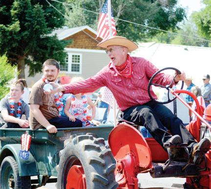
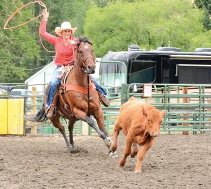
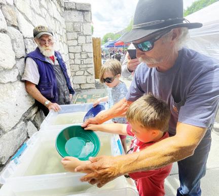
2-3 - Grant County ICA Rodeo
541-575-1900 | grantcountyoregon.net/217/ Fairgrounds | winegarm@grantcounty-or.gov
3-4 - Two-Man Best Ball
Golf Tournament
541-575-0170 | johndaygolfclub.com | johndaygolfclub@gmail.com
4 - Grant County Junior Rodeo
541-575-1900 | grantcountyoregon.net/217/ Fairgrounds | winegarm@grantcounty-or.gov
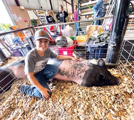
7-10 - Grant County Fair + Concert on the 9th
541-575-1900 | grantcountyoregon.net/217/ Fairgrounds | winegarm@grantcounty-or.gov
17-18 - Claire Owens Couples Tournament
541-573-5150 | https://www.silvies.us
19-20 - Club Championship
541-575-0170 | johndaygolfclub.com johndaygolfclub@gmail.com
Grant County Fly-In
541-575-1151 | grantcountyoregon.net/150/ Airport | walkerh@grantcounty-or.gov
1 - Cross Country Golf Scramble
541-575-0170 | johndaygolfclub.com johndaygolfclub@gmail.com
7-8 - Golf Club Championship
541-575-0170 | johndaygolfclub.com johndaygolfclub@gmail.com
21 - Buckaroo Festival
& Harvest Auction
541-934-2025 | https://www.facebook. com/groups/1492031037511938/ | cityofmonument.com | cityofmonument@ centurytel.net
21 - Oktoberfest
541-575-0509 | townofcanyoncityor.com tocc1862@ortelco.net
21-22 - Last Chance Golf Scramble
541-575-0170 | johndaygolfclub.com johndaygolfclub@gmail.com
28 - Lake Creek Youth Camp
Open House
541-620-8505 | 541-249-3946 https://lakecreekcamp.org/ lakecreekcamp@yahoo.com
Dayville Scarecrow Contest
541-987-2188 | gcoregonlive.com/cities/ dayville | dville@ortelco.net
Farmers Market Harvest Festival johndayfarmersmarket.com
5 - Rally for the Cure Golf Scramble
541-575-0170 | johndaygolfclub.com johndaygolfclub@gmail.com
12-13 - Silvies Bend vs. Boise Shootout
541-573-5150 | https://www.silvies.us
19 - Autumn Movie Mania
541-575-0110 | jdccparksandrec.org jdccparks.rec.ad@gmail.com
NOVEMBER 2024
Christmas on the Prairie
541-820-3605 | prairiecityoregon.net pchall@ortelco.net
DECEMBER 2024
Carrie Young Memorial Dinner & Auction
541-620-2098 | carrieyoungmemorial. weebly.com | www.facebook.com/ CarrieYoungMemorial
Dayville Christmas Lighting Contest
541-987-2188 | gcoregonlive.com/cities/ dayville | dville@ortelco.net
Dayville Community Christmas Celebration
541-987-2188 | gcoregonlive.com/cities/ dayville | dville@ortelco.net
Timber Truckers Light Parade
Leslie Traylor | 541-620-4032
Prairie City New Year’s Eve Annual Fireworks Show
541-820-3605 | prairiecityoregon.net
pchall@ortelco.net
7 - Blue Mountain Hospital
Auxiliary Bazaar
541-575-1900 | grantcountyoregon.net/217/ Fairgrounds | winegarm@grantcounty-or.gov
JANUARY 2025
1 - Snowflake Scramble
541-575-0170 | johndaygolfclub.com
johndaygolfclub@gmail.com
FEBRUARY 2025
Daddy Daughter Dance
541-575-0110 | jdccparksandrec.org
jdccparks.rec.ad@gmail.com
Family Fun Night
541-575-0110 | jdccparksandrec.org
jdccparks.rec.ad@gmail.com
MARCH 2025
Rodeo Court Coronation Dinner
541-575-1900 | grantcountyoregon.net/217/ Fairgrounds | winegarm@grantcounty-or.gov
Strawberry Mountain
Gun & Knife Show
541-575-1900 | grantcountyoregon.net/217/ Fairgrounds | winegarm@grantcounty-or.gov
8 - Second Saturday Live Music
Dayville Community Hall
541-987-2188 | gcoregonlive.com/cities/ dayville | dville@ortelco.net
10 - Annual Golf Club Meeting
541-575-0170 | johndaygolfclub.com
johndaygolfclub@gmail.com










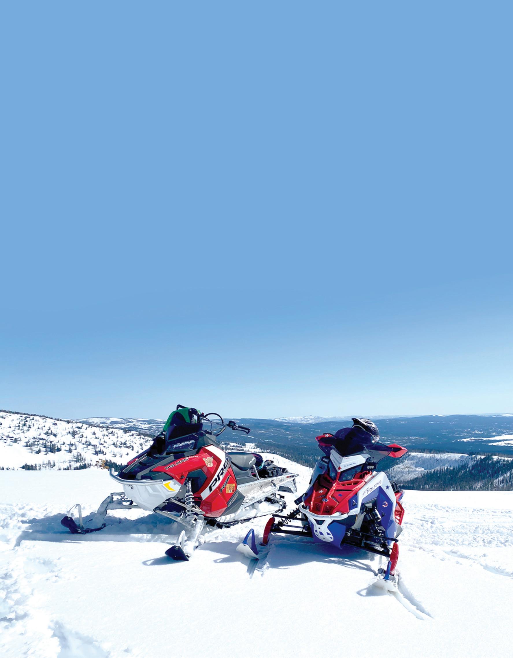
Snowmobiling is big in Grant County, with 500 miles of groomed trails along with four snow parks in the area. Snowmobile trails are groomed by volunteers from local snowmobile clubs. Cross-country skiing and snowshoeing are also popular.
The popular snow park at Starr Ridge features ample parking and primitive outhouse facilities. Across the highway is Starr Bowl, a popular sledding and tubing area for families, with a warming hut. Cross-country skiers typically use the groomed snowmobile trails, while backcountry skiers and snowshoers can head east toward the wilderness area. Starr Ridge is on Highway 395 about 16 miles south of John Day.
Snowmobilers can access hundreds of miles of groomed trails at the Huddleston Snow Park, which features a warming hut with a fireplace, restrooms and a large parking lot. The Skyline access is located about 1 mile before Huddleston. Snowshoers and crosscountry skiers can access miles of groomed and ungroomed trails at Huddleston, which is located on County Road 62 about 22 miles south of Prairie City.
Snowmobile trails groomed by three different clubs converge near this snow park, which is located on Highway 26 about 10 miles east of the Highway 7 junction.
The old rope tow is currently out of commission, but there’s still plenty of winter fun to be had at this snow park. Activities include sledding, innertubing and snowshoeing. There are also opportunities for snowmobiling and cross-country skiing on ungroomed trails. Located on Highway 26 about 9 miles east of Prairie City.
A state Sno-Park permit is required for parking at all snow parks. The permits cost $25 and are available from the Department of Motor Vehicles and some local stores. They can also be purchased online at https://tinyurl.com/24c9y3jm. For more information about winter recreation, visit grantcountysnowballers.com
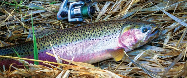
There are plenty of great fishing spots to explore
1. BULL PRAIRIE RESERVOIR
27 acres, boat ramp; motors prohibited. From Spray, go 4 miles east on Hwy 19 to Hwy 207. Take 207 north 18 miles to FR 2039 and go 4 miles to lake. Rainbow, brook trout.
2. CAVENDER POND
15 acres on private land. From Monument go half-mile west on Hwy 402; right on pond access road. Rainbow trout, largemouth bass.
3. LONG CREEK POND
2 acres, located 6 miles west of Long Creek just off Hwy 402. Rainbow trout.
4. JUMP OFF JOE LAKE
5 acres in Umatilla National Forest. From Granite, take FR 10 west, then FR 45 south 4 miles to a pullout near trailhead. Hike 0.25 miles to the lake. Triploid brook trout.
5. LOST LAKE
15 acres in Umatilla Forest. From Granite, take FR 10 west to FR 45. Go south about 0.5 miles, turn left on FR 020 to gate. Hike 2 miles to lake. Rainbow trout.
6. OLIVE LAKE
160 acres in Umatilla Forest. From Granite, go west on FR 10 for 11 miles. Boat ramp, docks, camping available. Rainbow trout, kokanee.
7. WILDCAT POND
2 acres in Malheur National Forest. From Hwy 395, take Co. Road 88 west 8 miles, go left on 741 for 3.5 miles to FR 3955, then right 4 miles to FR 250. Rainbow trout.
8. HOG CREEK POND
1 acre in Malheur Forest. From Hwy 395 at Ennis Creek, take FR 3940 east 5 miles to FR 432, go left for 3.5 miles to 794 and 0.5 miles to pond. Rainbow trout.
9. MAGONE LAKE
50 acres in Malheur Forest. From John Day, travel 9 miles east on Hwy 26 to Keeney Fork Road. Go north 18 miles to FR 3620, then south 3 miles. Rainbow, brook trout.
10. ALDRICH GULCH POND
0.5 acres on BLM land. Strenuous hike-in access only, 14 miles south of Dayville, then 0.5 miles east up Aldrich Gulch. No designated trail, Rainbow trout.
11. WYLLIE GULCH POND
0.5 acre in Phillip Schneider Wildlife Area, 17 miles south of Dayville, then 3.5 miles up Murderers Creek to Wyllie Gulch. Hike-in access only, 3 miles up Wyllie Gulch, no designated trail, closed Feb. 1-April 14. Rainbow trout.
12. ALDRICH PONDS
Two ponds, 5 and 8 acres, in Phillip Schneider Wildlife Area, 5 miles east of Dayville. From Hwy 26 go south on Phillip Schneider Wildlife Area access road 6 miles to lot. Hike-in access only, 2 miles south on trail. Closed Dec. 1-April 14. Rainbow trout.
13. HOLLIDAY POND PARK
3 acres near Holliday State Park, 0.75 mile east of Mt. Vernon on Hwy 26, turn south on access road, 200 yards to pond. Rainbow trout.
14. BRANDSON’S POND
2 acres near ODFW’s screen shop facility on Patterson Bridge Road, John Day. Open 6:30 a.m. to 4 p.m. weekdays. Rainbow trout, largemouth bass.
15. SEVENTH STREET POND
1 acre at Seventh Street Complex in John Day. Rainbow trout.
16 McHALEY POND
1 acre on Confederated Tribes of Warm Springs land. Take Hwy 26 east from Prairie City 0.5 miles, turn south on ranch access road past tree nursery. Rainbow trout.
17. STRAWBERRY LAKE
31 acres in the Strawberry Mt. Wilderness. Take Co. Road 60 south from Prairie City into Malheur Forest, continue on FR 6001 to trailhead. Hike 1.5 miles to lake. Rainbow, brook trout.
18. HIGH LAKE
10 acres in the Strawberry Mt. Wilderness. From Seneca, head east on FR 16 for 13 miles to FR 1640. Go north on 1640 to end and trailhead. Hike 1.5 miles to lake. Brook trout.
19. SLIDE LAKE
13 acres in the Strawberry Mt. Wilderness. Take Co. Road 60 south from Prairie City into Malheur Forest. Continue on FR 6001 to the trailhead. Strenuous hike of more than 4 miles to lake. Brook trout.
20. TROUT LAKE POND
2 acres in Malheur Forest. From Prairie City, go south 15 miles on Co. Road 62. Look for Trout Farm sign, then turn west 100 yards. Rainbow, brook trout.
21. POISON CREEK RESERVOIR
27 acres on BLM land. 17 miles south of Seneca on Hwy 395, take FR 17 east for 0.5 miles, turn north into reservoir. Rainbow trout, limit 2 trout per day.
22. UNITY RESERVOIR
926 acres, about 50 miles east of John Day on Hwy 245 near Unity. Campsites, cabins, hiker/biker camp, ADAaccessible, RV dump station. Trout, bass and crappie.
23. PHILLIPS RESERVOIR
1,500 acres, along Hwy 7 near Sumpter. Three campgrounds and two boat launches. Perch, bass and rainbow trout. Tiger trout and hybrid muskie, stocked to help control perch, must be released if caught.
*24. MIDDLE FORK
JOHN DAY RIVER
14-mile section from Camp Creek to Caribou Creek. Bank fishing access at Deerhorn, Middle Fork campgrounds. Trout fishing good May-October. Chinook salmon closed to fishing.
*25. SOUTH FORK
JOHN DAY RIVER
11-mile section from the first bridge to the mouth of Murderers Creek. Trout fishing good May through October.
26. JOHN DAY RIVER
26-mile section from Kimberly downstream to Service Creek. Steelhead from January through March, smallmouth from May through November. Channel catfish during summer months. Bank access and boat launches at Shady Rest, Spray City and Muleshoe parks.
NOTE: Unless specified, all locations open year-round. *Closed until Memorial Day weekend.


NOTE: Unless speci ed, all locations open year round. *Closed until Memorial Day Weekend. 103865 Schwab - Page 1 - Composite

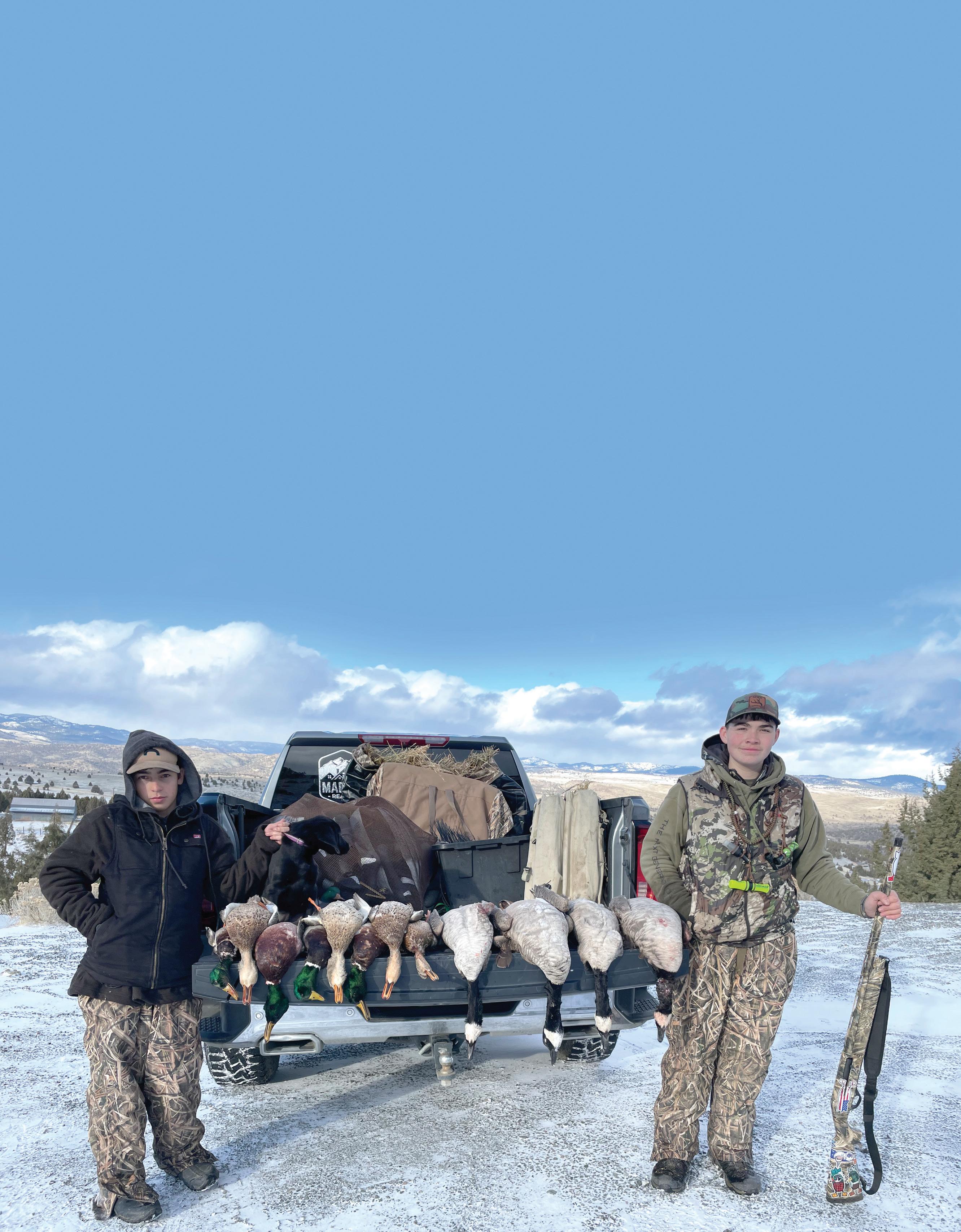
With five wildlife management units of its own and several more in bordering counties, Grant County is considered a hotspot for hunting.
Visitors and locals alike also find the area a great place to unwind and get back in touch with nature.
There are plenty of campgrounds in the area — the Malheur National Forest has 21 of them — and there are two major wilderness areas, Strawberry Mountain and Monument Rock, within easy reach of John Day and surrounding communities.
Located 13 miles east of John Day along the John Day River, Prairie City is near the Beulah, Northside, Malheur, Desolation and East Murderers Creek units.
Dayville is on Highway 26 about 32 miles west of John Day. The Northside, Murderers Creek and Ochoco hunting units intersect at Dayville, and the area is popular for deer, sheep and elk hunting, as well as upland game birds.
Situated 8 miles west of John Day on Highway 26, the Mt. Vernon area has premier mule deer and Rocky Mountain elk hunting, as well as terrific trout fishing in the river, lakes and ponds.
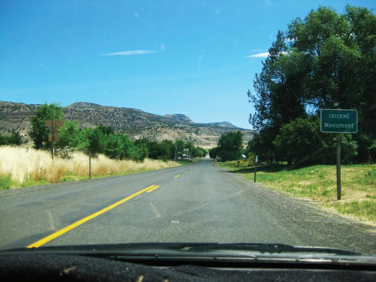
Monument is located on the North Fork John Day River, approximately 120 miles southwest of Pendleton and 60 miles northwest of John Day. The area is known for its fishing, hunting and whitewater rafting.
This community 26 miles south of John Day is a popular jumpoff for the Murderers Creek, Malheur and Silvies units. The area is great for pronghorn, Rocky Mountain elk and mule deer.
About 45 miles north of John Day, the Long Creek area is known for trophy mule deer and whitetail deer along with Rocky Mountain elk.
For more information about hunting in Grant County, stop by the Grant County Chamber of Commerce, 301 W. Main St. in John Day, call 800-769-5664 or 541-575-0547, or visit gcoregonlive.com.
Reservations
• Comments
• Questions

365 W. Highway 74
• PO Box 428 Lexington, OR 97839
Email: mcparks@co.morrow.or.us
Reservations: 541-989-8214
Main Office: 541-989-9500
ANSON WRIGHT PARK CAMPGROUND
47500 Hwy 207 - Spray-Heppner
Heppner, OR 97836
CUTSFORTH PARK CAMPGROUND
58430 Willow Creek Rd
Heppner, OR 97836
Reservations: 541-989-8214
MORROW COUNTY OHV PARK CAMPGROUND
71000 E. Morphine Ln, aka 71000 FS Rd 21 Heppner, OR 97836
Reservations: 541-989-8214
www.morrowcountyparks.com


From the award-winning Retreat and Links at Silvies Valley Ranch to the John Day Golf Club, experienced and novice golfers alike have options to play on some of the best greens in the West.
The Retreat, Links and Spa at Silvies Valley Ranch
Award-winning golf courses abound at this destination resort south of Seneca.
Featured attractions include the Hankins and Craddock golf courses, reversible overlapping 18-hole courses created by celebrated course designer Dan Hixson, and McVeigh’s Gauntlet, a seven-hole ridge course.
On McVeigh’s Gauntlet and the nine-hole, par-3 Chief Egan course, guests can play with a goat caddy for a truly unique golfing experience.
The newest additions are Claire’s Courses, a reversible 18-hole putting course, and the Orange and Black Courses, all designed by Hixson.
In addition to golfing, Silvies Valley Ranch features luxurious accommodations, top-of-the-line amenities and ranchraised cuisine. For more information, visit silvies.us or call 1-800-SILVIES.
The John Day Golf Club offers a nine-hole regulation course that is open to both club members and visitors. The diverse terrain, flanked by high-desert hills, a tree-lined fairway, two sand bunkers and a pond with sturgeon and trout, offers a unique challenge for golfers of all levels.
Golfers can work on their long and short games year-round at the driving range and putting green, located right outside the clubhouse. Golf carts are available for rent, or golfers can bring their own. Select golf clubs are available to rent as well.
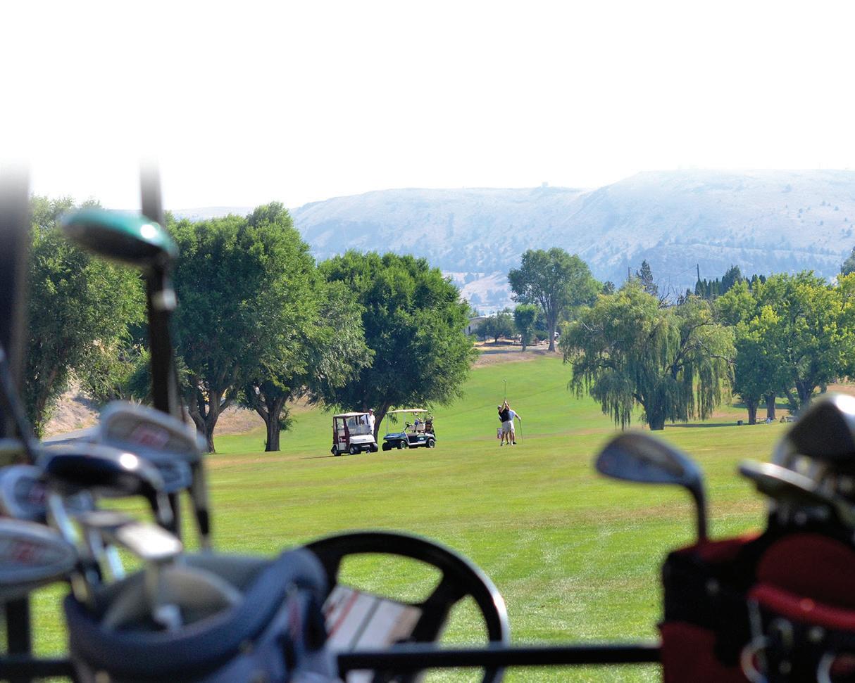
The club hosts tournaments and scrambles throughout the year. Visitors are encouraged to participate.
The recently remodeled clubhouse, which includes a full bar and a snack bar, also offers a dining room and a full kitchen that can be rented out for events. For more information, call the John Day Golf Club at 541-575-0170.




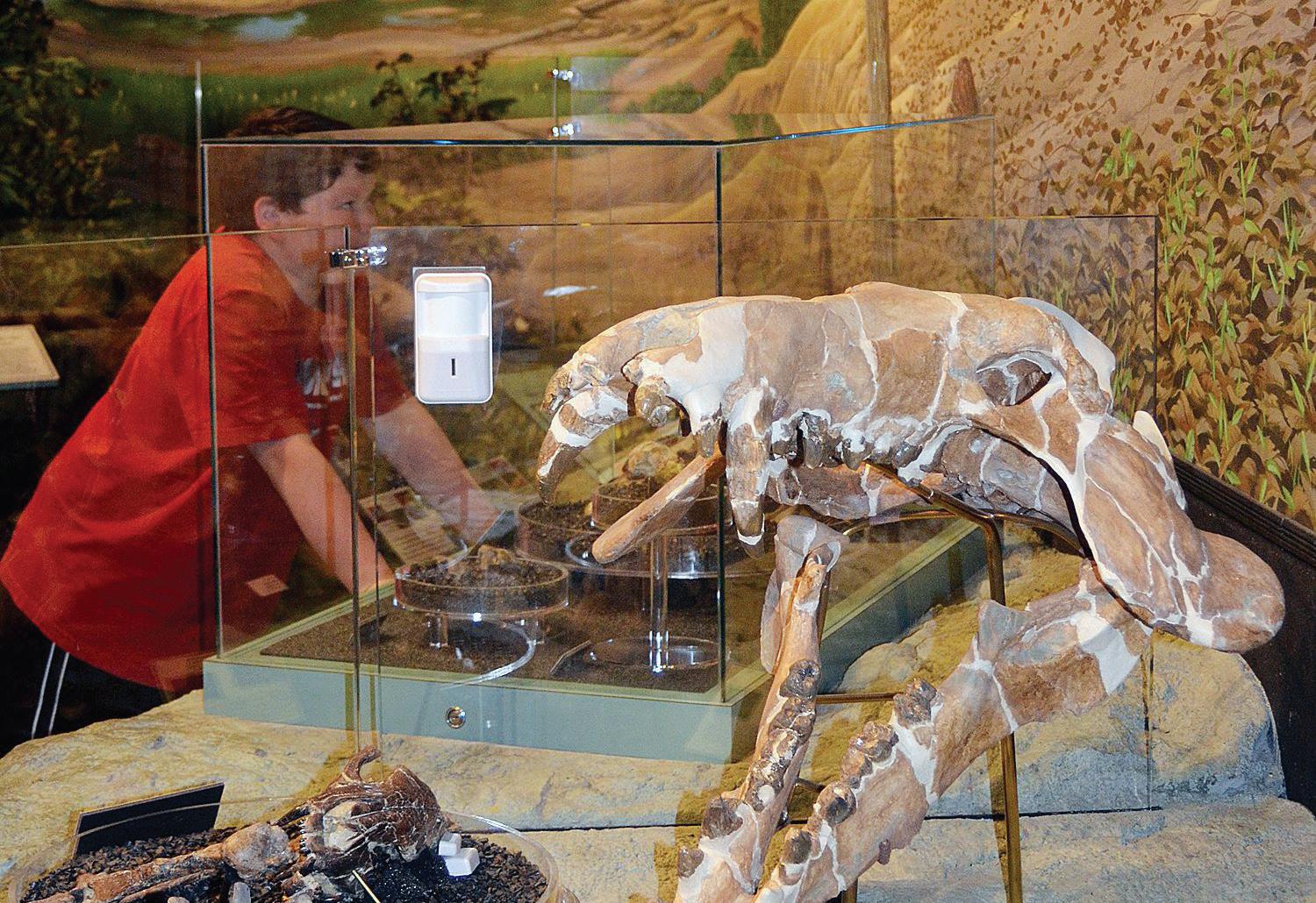
•Where: 32651 Highway 19, 8 miles west of Dayville
•Dates: Year-round
•Hours: Winter, 10 a.m. to 5 p.m.; summer, 9 a.m. to 5 p.m., daily except federal holidays between Thanksgiving and Presidents Day
•Admission: Free
•Phone: 541-987-2333
•Web: nps.gov/joda
The John Day Fossil Beds National Monument is dedicated to the preservation and continuing research of the fossil plants and mammals that existed here millions of years ago. The monument is comprised of three geographically unique units: Clarno and Painted Hills in Wheeler County, and Sheep Rock in Grant County, which together cover nearly 14,000 acres.
Sheep Rock is home to the Thomas Condon Paleontology Center, the Historic Cant Ranch and seven hiking trails.
The paleontology center, which opened in 2005, is named for 19th century missionary and scientist Thomas Condon. Born in Ireland, Condon immigrated to New York and later traveled with his wife to Oregon, where he was known for his interest and expertise in geology. In 1865, while venturing across the state, he was the first to identify the scientific significance of the area that is now the John Day Fossil Beds.
The expansive 11,000-square-foot paleontology center is a state-of-the-art research facility where new discoveries continue to be made well into the 21st century. Visitors can peruse a vast array of fossils, exhibits, displays and information, and even watch scientists at work in the laboratory.
Across Highway 19 from the paleontology center is the Historic Cant Ranch and Museum, which was a working sheep ranch in the early 20th century.
The ranch house and museum are open only in summer, although visitors are welcome to tour outside areas and trails at any time.
Outdoor enthusiasts will also enjoy seven trails within the Sheep Rock Unit, ranging in length from ¼ mile to 3¼ miles. Each offers its own breathtaking vistas, rock formations and colorful geologic layers. All are open year-round. Information and maps are available at the paleontology center.
Visitors to the John Day Fossil Beds are reminded that all fossils, rocks, plants and animals are fragile and protected, and may not be collected or disturbed. Anyone who sees a fossil is urged to take a photo of it and report it to a ranger.
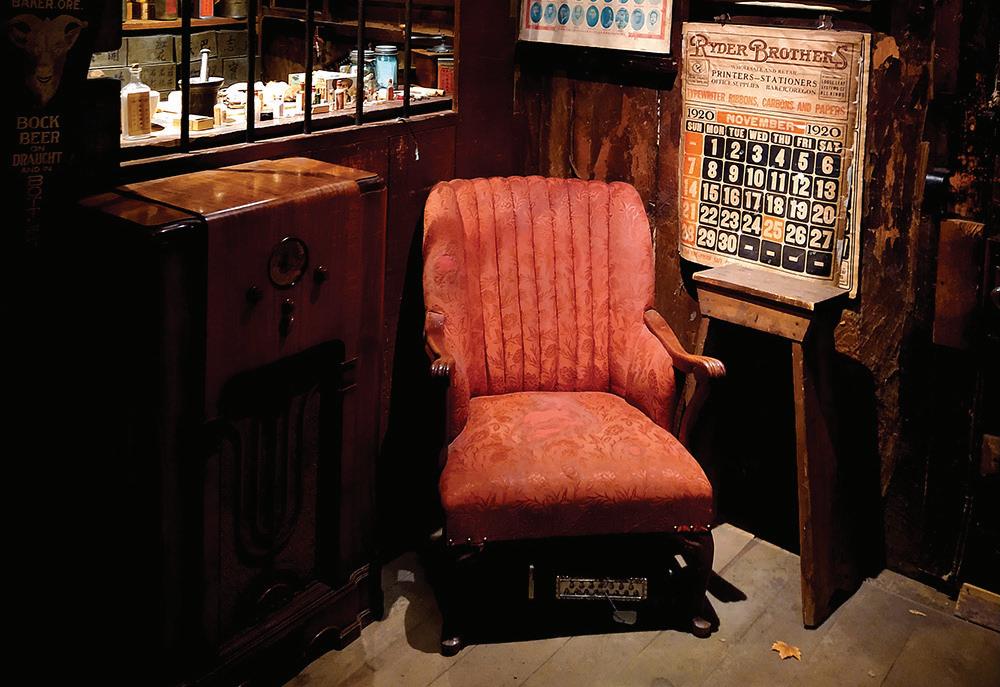
•Where: 125 NW Canton St., John Day
•Dates: May 1 to Oct. 31
•Hours: 9 a.m. to noon and 1-5 p.m., daily
•Admission: Free
•Phone: 541-575-2800
•Web: friendsofkamwahchung.com
Chinese immigrants were instrumental in the history of Grant County and Eastern Oregon, and nowhere is their influence more thoroughly preserved and honored than at the Kam Wah Chung State Heritage Site in John Day.
Loosely translated as “Golden Flower of Prosperity,” the Kam Wah Chung site includes an interpretive center on Northwest Canton Street and a museum on nearby Ing Hay Way. The latter, built in 1876 as a trading post, was the longtime location of a successful business venture for two Chinese immigrants, herbal doctor Ing “Doc” Hay and businessman Lung On.
For 60 years, from 1888 to 1948, the enterprising pair ran a general store, practiced Chinese herbal medicine and performed religious rituals. Chinese miners, local residents and pioneers all benefited from Doc Hay’s treatments. The business also served as a vital social center for Chinese immigrants throughout Eastern Oregon.
After Hay’s death in 1952, the building was abandoned until 1967, when the city of John Day launched plans to restore it to its 1940s condition and turn it into a museum, per Hay’s request. Thanks to the hard work of Oregon State Parks and the Friends of Kam Wah Chung, visitors entering the museum today are treated to a step back in time to the bustling business days of Doc Hay and Lung On, almost exactly as they left it.
In 1973, the museum was listed on the National Register of Historic Places, and in 2005, it was designated a National Historic Landmark.
The interpretive center features videos and informational exhibits, unveiled in 2011, outlining Chinese influence in Eastern Oregon. A few years prior, the museum underwent nearly a year of renovations and repairs, which were unveiled at a lavish ceremony in 2008.
The museum is open to guided tours only, at the top of each hour, until 4 p.m. Tours are about 45 minutes long. Virtual tours are available at the interpretive center.
The site is slated for a major expansion in the next few years.
Free tickets are available at the interpretive center.
• Where: 241 E. Main St., John Day
• Dates: May 1 to Sept. 30
• Hours: 10 a.m. to 4 p.m., Thursdays through Saturdays, and group tours by appointment
• Admission: Adults, $3; children under 12, free
• Phone: 541-575-0052 or 541-575-0747
Perhaps the truest image of Grant County is that of the cowboy and ranching way of life. One sure place where visitors will find a thorough collection of that wild and colorful legacy is at the Grant County Ranch and Rodeo Museum.
The museum is dedicated to celebrating the cowboy way of life in Grant County and honoring past, present and future local cowboys and cowgirls.
Several rooms showcase exhibits that are divided by category such as ranch, rodeo and Western arts and crafts. Displays include rodeo champion belt buckles, branding irons, cowboy poetry, knife collections, historical barbed wires, Grant County Fair and Rodeo Court costumes, trophy saddles of National Intercollegiate Rodeo Association champions as far back as 1959, photographs of Grant County cattle drives, documents, books and much more. Most of the artifacts and memorabilia have been donated.
A gala celebration marked the museum’s opening on July 23, 2005.
• Where: Bridge and Main streets, Prairie City
• Dates: May 15 to Oct. 15
• Hours: 10 a.m. to 5 p.m., Wednesdays through Sundays
• Admission: $3 per person
• Phone: 541-820-3330
In addition to mining and lumber roots, Grant County was also once home to a thriving railroad. This slice of railroad history — and much more — is preserved at the DeWitt Museum, located in the heart of Prairie City.
Built in 1910, the two-story museum was originally a depot for the Sumpter Valley Railway. It was the only two-story depot along the railway line and the only one that’s still on its original site.
The narrow-gauge line, which began rolling in 1890, ran from Baker City to Sumpter, and later to Prairie City. The passenger station, or Prairie City Depot, was the railway’s terminus.
In the depot’s heyday, a waiting area, baggage, freight and express rooms and the station agent’s office were all on the ground floor. The agent’s living quarters were on the second floor.
Railway service to Prairie City ended in 1933, although some passenger trains continued for a few more years.
Slated for demolition, the historic building was rescued thanks to the efforts of a local group of women. In 1976, it was listed on the National Register of Historic Places, though it remained unused until the mid-1980s, when it found new life as a community museum.
The DeWitt’s artifacts were originally from the collection of local pioneers T. Gail and Peacha DeWitt, who ran a sawmill, dredge and ranch on the Middle Fork of the John Day River. Family artifacts were kept in several locations before finding a permanent home in the depot building in 1984.
Over the past 30-plus years, the collection has ballooned as more items were added. Visitors to the DeWitt will find a wide assortment of railroad memorabilia, mining and ranching tools, rocks and minerals, vintage household items, photos of local families and the town, books and much more. Each section and room of the two-story museum features a facet of local history.
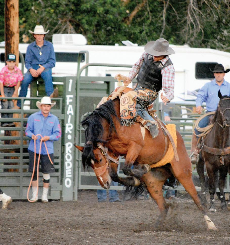
• Where: 101 S. Canyon Blvd., Canyon City
• Dates: May 1 to Sept. 30
• Hours: 9 a.m. to 4:30 p.m., Tuesdays through Saturdays
• Admission: Adults, $4; seniors and veterans, $3.50; children, $2; ages 6 and under, free
• Phone: 541-575-0362
• Web: grantcountyhistoricalmuseum.org
It’s appropriate that the Grant County Historical Museum is located in Canyon City, since that’s where the county’s existence was born. The discovery of gold in 1862 in nearby Whiskey Gulch attracted thousands to this area, which wasn’t even a county yet, and was home to a few Native American tribes and traveling exploration parties and trappers.
The first items in the collection were gathered by early1900s Canyon City resident Charley Brown, who was a postmaster and ran a general store and a gas station. In 1925, Brown bought an old saddle from someone, and soon — as the story goes — a deluge of local folks began beating a path to Brown, eager to sell relics from their homes. Soon, his small gas station on Washington Street overflowed.
Brown later sold the amassed goods to the Grant County Historical Society, and in 1953, local rancher Herman Oliver purchased a building for the present-day museum to house the growing collection.
The spacious building is a one-stop, comprehensive source for Grant County history, primarily the Canyon City and John Day areas. Visitors will be transported back in time to Grant County days gone by among vivid exhibits showcasing not only the area’s rich gold mining days but Native American artifacts, day-to-day early pioneer life, business endeavors, Chinese influence in Eastern Oregon, ranching and lumber industries, rock collections and much more. There are also files of newspaper clippings, letters, documents, books, ledgers and an extensive catalog of vintage photographs. Even local residents are bound to learn something new upon a visit to this Grant County gem.
Next to the museum, visitors will also want to check out the jail from the onetime mining town of Greenhorn and the Joaquin Miller cabin. Miller, known as the “Poet of the Sierras,” was a colorful character who held a lengthy list of titles including Grant County judge at age 29. The cabin was where he wrote and lived in Canyon City from 1864-1870.



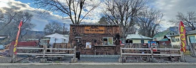


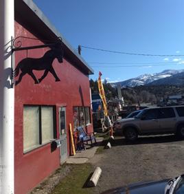
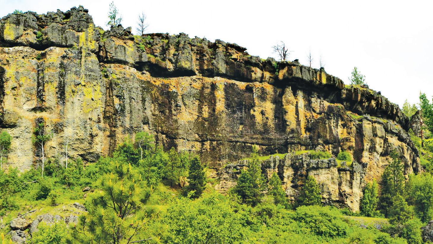
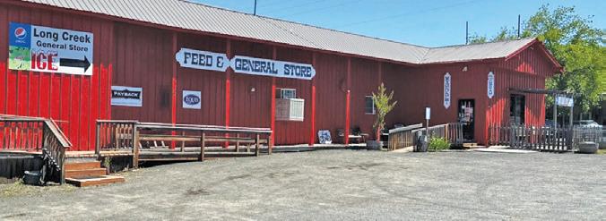
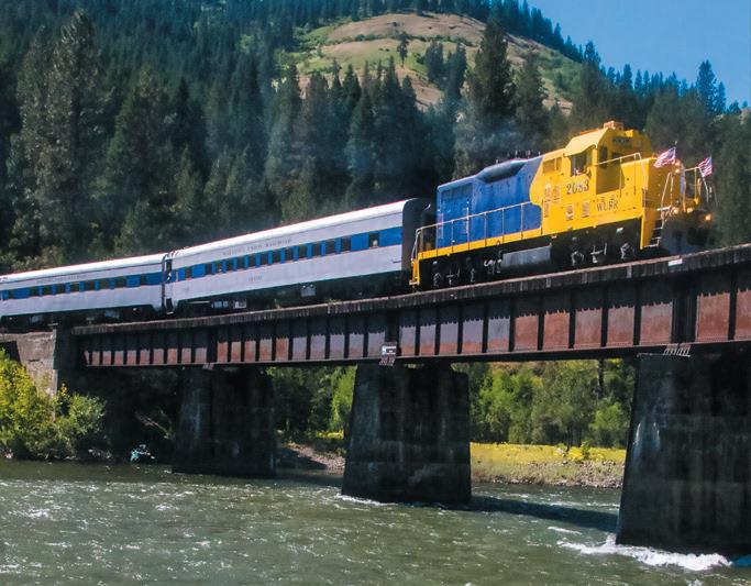

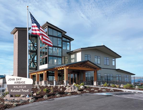
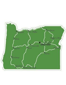

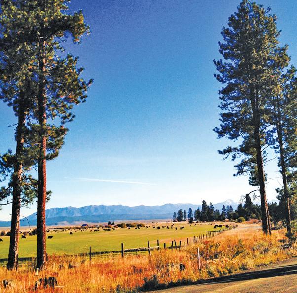






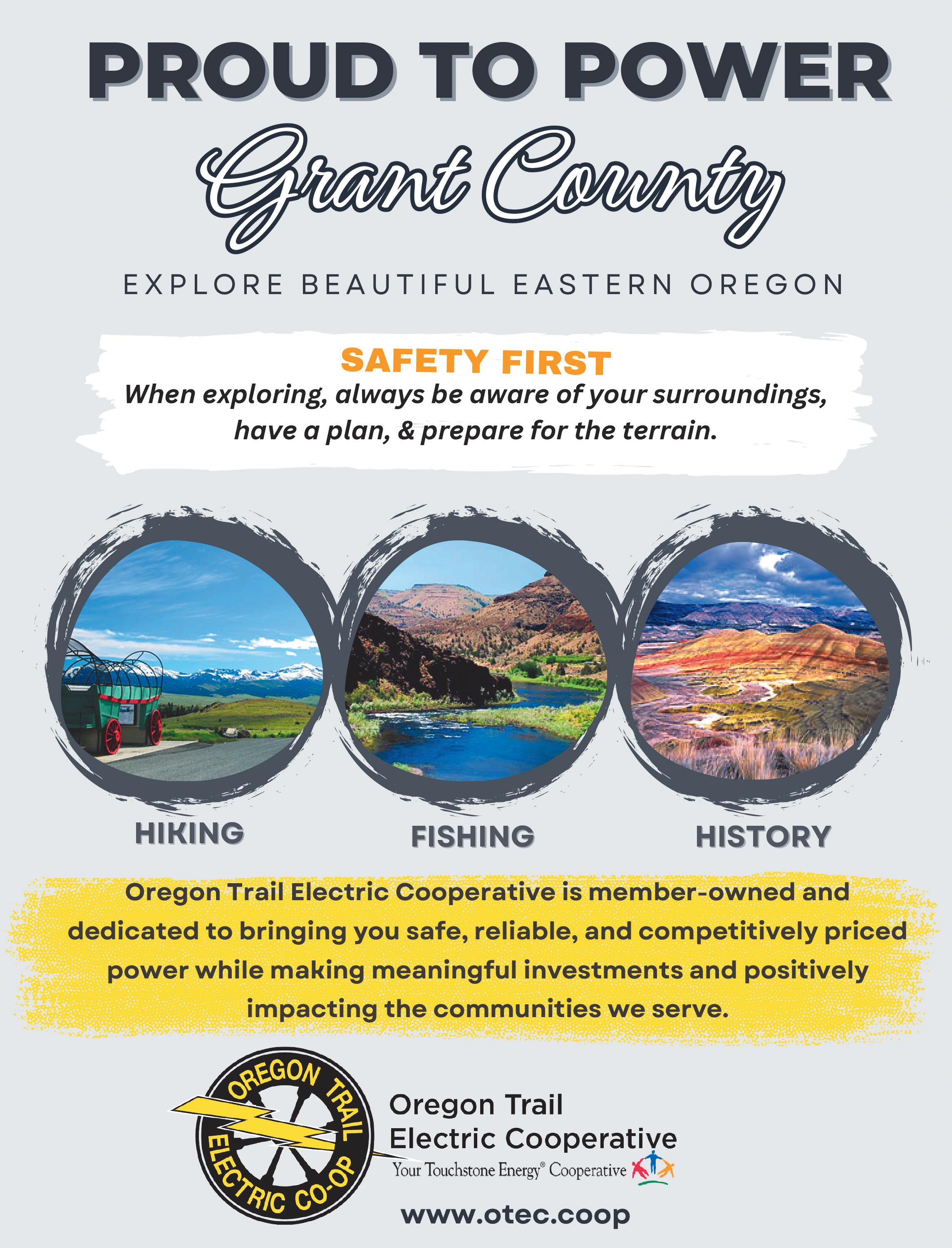
Whether you prefer long and adventurous rides or short jaunts out to admire the scenery, Grant County has a lot to offer motorcycle enthusiasts. Minimal traffic, the chance to meet other cyclists, numerous restaurants in multiple cities and curvy highways are all things riders will enjoy.
From John Day, head east on Highway 26 through Mt. Vernon and Dayville. About 7 miles beyond Dayville at Picture Gorge, turn north on Highway 19 and ride past the Thomas Condon Paleontology Center. Tun right at the Kimberly store to go through Monument and into Long Creek. In Long Creek, turn right on Highway 395 and continue south to Mt. Vernon. Turn left on Highway 26 and continue east back into John Day.
Leave John Day and head east on Highway 26 through Prairie City. Turn left at Austin Junction and continue on Highway 7 for about 25 miles. After you’ve crossed the railroad tracks, look for the sign for the town of Sumpter. Turn left and head 2-3 miles into Sumpter. From Sumpter, continue north on the same road for another 19 miles into Granite. Continue west on Highway 244 until you reach Highway 395. Turn left and take Highway 395 south to Mt. Vernon and Highway 26. Turn left on Highway 26 and continue 8 miles into John Day.
This short and easy trip provides riders with breathtaking views of Canyon Mountain and the John Day Valley. Leave John Day headed east on Highway 26 for 3 miles and take a right onto Dog Creek Road. The paved road takes a 90-degree turn onto Marysville Road (County Road 52) after a little over a mile. Riders will then descend into Canyon City and turn right, heading north on Highway 395 back into John Day.
Leave John Day and head west on Highway 26 into Mt. Vernon. Turn right at the intersection and head north to Long Creek along Highway 395. A few miles north of town, turn right on County Road 20 and ride about 34 miles along the Middle Fork of the John Day River to Highway 7. Turn right onto Highway 7 and head 1.5 miles to the intersection with Highway 26 at Austin Junction. Turn right on Highway 26 and head over Dixie Summit and into Prairie City. Continue traveling on Highway 26 for 13 miles back into John Day.
Depart John Day and head east on Highway 26 into Prairie City. Turn right on Main Street and continue to the junction with Bridge Street. Turn left onto Bridge Street and continue past the cemetery, where the street becomes County Road 62. Travel along County Road 62 for about 19 miles to the junction with Forest Road 16. Turn right onto Forest Road 16 and continue east for about 36 miles until you reach Seneca. Turn right onto Highway 395 and travel north 26 miles back into John Day.











Once your visit to Grant County is complete, you can still keep in touch with the latest news, community events and tourism-related features with a digital subscription to the Blue Mountain Eagle

Your digital subscription includes unlimited access to MyEagleNews.com from your computer, smartphone or tablet. You’ll get around-the-clock access to the Blue Mountain Eagle and more!
It’s news you can use to help plan your next trip to the county or to stay informed on what’s happening in the area.

Elevation: 3,087 • Population: 1,704
With the only stoplight in Grant County, John Day is the “big city.” Centrally located at the intersection of highways 26 and 395, the town has facilities serving the surrounding areas, including a hospital, county fairgrounds, airport, industrial park, Chamber of Commerce and library, as well as a grocery store, pharmacy, restaurants, pubs and other businesses. John Day is home to the Kam Wah Chung State Heritage Site, a carefully preserved relic of the area’s 19th century mining boom. Built in 1865, the building housed a Chinese apothecary and general store and now serves as a museum. The Oregon Parks and Recreation Department has purchased the adjacent city park property and is planning a new interpretive center on the site. A few blocks away on Main Street, you’ll find the Ranch and Rodeo Museum, which celebrates the cowboy way of life in Grant County. The Seventh Street Sports Complex on the north side of town offers a variety of recreational opportunities. Just west of town, the John Day Golf Club invites guests to play nine holes and enjoy the stunning views overlooking the course from a large banquet room in the clubhouse. The new Davis Creek Park offers scenic overlooks and hiking trails that connect to a network of pedestrian and bicycle paths along the John Day River in the heart of town.
The Seventh Street Sports Complex features baseball and softball fields, tennis and basketball courts, a skate park, a fishing pond, picnic areas, a playground and a paved mile-long trail that circles the property. It features a newly constructed 6,800-square-foot kiddie park with two playground areas for different ages, as well as an 87-by-37-foot splash pad with a variety of water features. The John Day Bike Park has singletrack trails winding back and forth across the hill overlooking the complex, as well as slope-style jumps and a skills course with its own pump track. To visit the complex, take Bridge Street north from Highway 26 (Main Street) and turn right on Seventh Street.

Population: 861
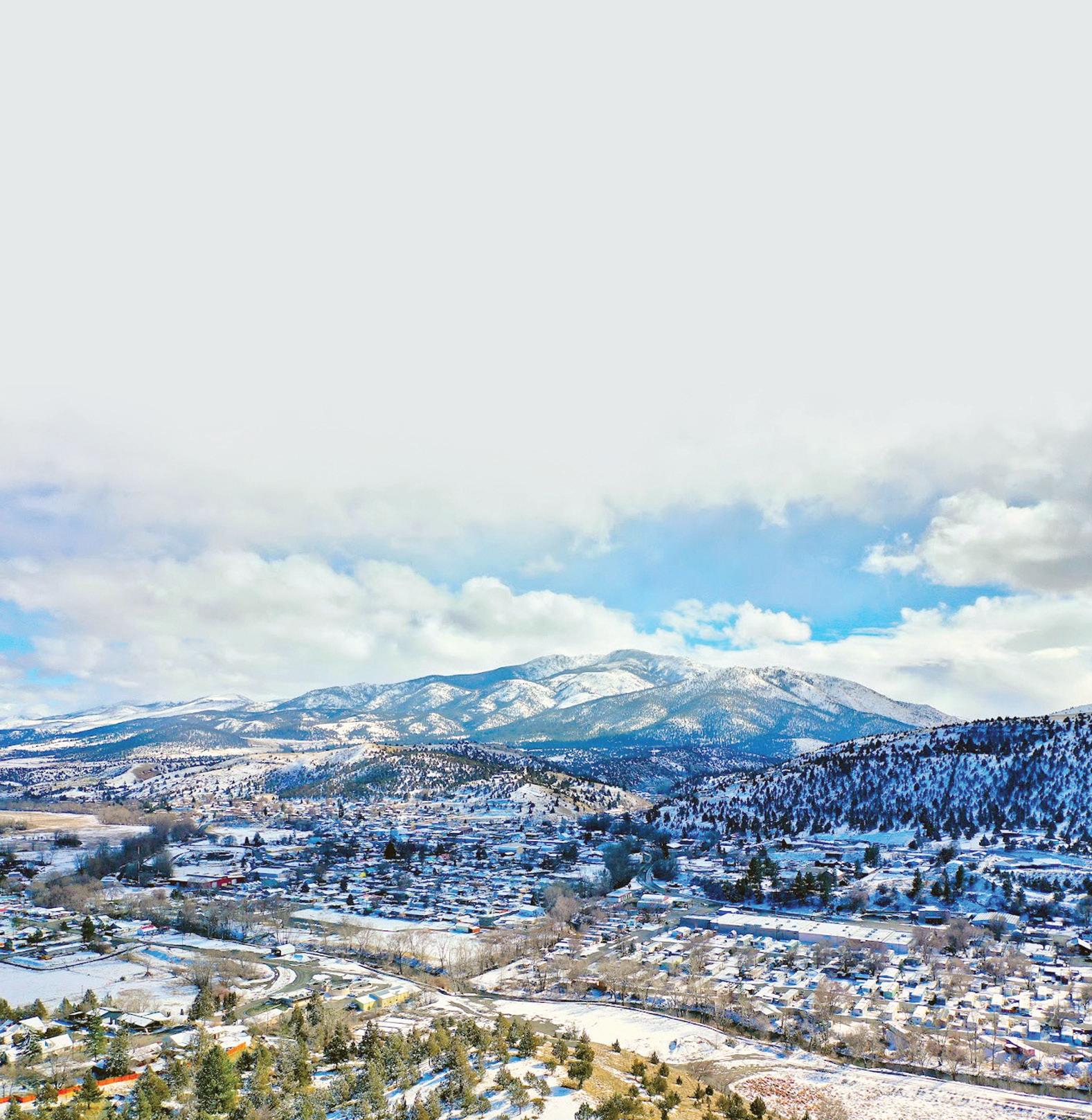
With spectacular views of Strawberry Mountain, Prairie City provides easy access to year-round outdoor recreation. From the Blue Mountains to the Strawberry Mountain Wilderness, the area is surrounded by opportunities for fishing, hiking, biking, hunting, skiing, snowmobiling and camping. Businesses provide a small town “Main Street” atmosphere downtown, and the Prairie City Community Center provides a place to gather. The town has two parks: The city park in the center of town features a playground and picnic area near City Hall, and Depot Park at Bridge and Main streets is home to Depot RV Park and the DeWitt Museum, which houses a collection of local railroad memorabilia as well as other items in the historic Sumpter Valley Railway Depot.
Strawberry Lake is a pristine mountain oasis in the Strawberry Mountain Wilderness. Strawberry Campground is as far as vehicles can travel, and the rest of the trek is on foot. The moderately difficult trail travels about a mile and a half from the campground uphill to the lake. Strawberry Falls is another mile or so up the trail, which is connected to a trail system that traverses the entire wilderness. The campground is about 11 miles south of Prairie City on County Road 60.




• Population: 687
When gold was discovered here in 1862, Canyon City quickly sprang up as a booming mining town with about 10,000 residents — at the time, it had more inhabitants than Portland, Oregon’s current largest city. After the rush, the population dwindled, but the community remembers its origins in an annual ’62 Days Celebration in June. Canyon City is the county seat, with government offices and a variety of businesses. The Grant County Historical Museum houses artifacts, documents and photographs that bring the county’s history to life. In the heart of town, Sproul Park features a playground, picnic area, restrooms and a covered stage that is the site of summer concerts.
Canyon Mountain Trail is a hidden gem that provides incredible views of the John Day Valley. The 28-mile trail takes hikers in and out of the burn area from a 2015 wildfire, crossing several creeks and streams fed by snowmelt. To reach the trailhead, travel east 2 miles on County Road 52 from Canyon City and take a right on County Road 77 for about a quarter-mile. Then take another right on Forest Road 7700333 to the trailhead.
Elevation: 2,695 • Population: 549
For a small community, Mt. Vernon is home to a variety of amenities. Phil Boyd Park features basketball and tennis courts, restrooms and a covered picnic area, and the city has installed new playground equipment. A spacious community center and the Mt. Vernon Grange host annual events and functions, and Clyde Holliday State Park is only a short drive away. Mt. Vernon was named after a resident’s treasured racehorse, said to have lost only one race in his life, and a small stone fort used to protect him from being stolen still stands about 2 miles east of town.
Just a mile east of Mt. Vernon, Clyde Holliday State Park features a peaceful walking trail along the scenic John Day River. The free day-use area is a popular wayside for motorists, with spacious grassy areas, picnic tables and benches near the river. For a fee, the campground offers overnight accommodations for tents and trailers, and travelers can even stay in one of the two teepees at the park, pending availability. An ADA-accessible pond stocked with trout at the west end of the site provides further recreational opportunities.
Elevation: 2,369 • Population: 142
On the west end of the John Day Valley, Dayville is rich in Old West atmosphere and small town charm. The town has a variety of amenities, including food and fuel, and the recently renovated Dayville Community Hall provides a wonderful venue for indoor events. The city park along the John Day River features a large grassy area, horseshoe pits, tennis courts, picnic areas, a playground and a well-kept restroom. Moreover, the area is surrounded by stunning scenery. The Mascall Overlook, about 4.5 miles west of Dayville, offers 360-degree views of the colorful hillsides and is wheelchair-accessible. Farther west is Picture Gorge, named for the Native American pictographs that adorn the steep canyon walls. Beyond is the John Day Fossil Beds National Monument. Dayville is situated at the intersection of the Northside, West Murderers Creek and Ochoco hunting units, and the area is rich in hunting, hiking, camping and fishing options.
South Fork Road follows the South Fork John Day River from Highway 26 to the South Fork Falls. The road turns to gravel, but the well-graded route offers a variety of scenic vistas of the river and rock formations in the canyon. Past the Black Canyon Trailhead, which leads into the Black Canyon Wilderness, South Fork Road meets Forest Road 24 near a bridge across the river. The falls are upstream from the bridge but may not be visible from the road. If you’re in the area in October, you won’t want to miss the Dayville Scarecrow Contest.


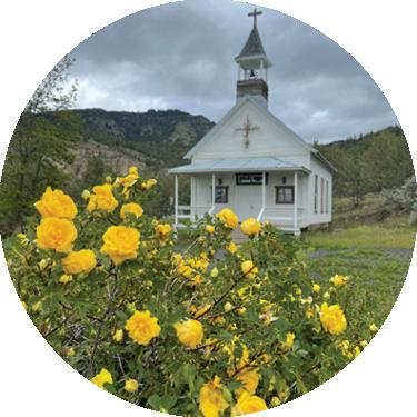
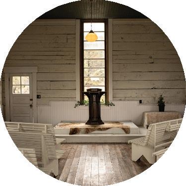




Nestled in a high valley of the Blue Mountains in northern Grant County, Long Creek has a small-town aesthetic but enough amenities to make travelers feel comfortable. Businesses offer food, fuel and other necessaries, and the area is near a variety of recreational opportunities, including camping, hiking, biking and water activities. The Long Creek Historical Society is an active group dedicated to preserving and promoting the history of the area, including the neighboring communities of Fox, Hamilton and Monument. The society re-erected Fort Townsend, the Army post built in Long Creek in 1878, and is now working to build a museum and interpretive center there to house historical photographs and artifacts that have been collected. A “Fort Townsend” sign on West Main Street leads to the future site. The fort was originally erected east of town during the 1878 Bannock and Paiute Indian War, and William “Billy” Townsend, a Civil War veteran, defended the installation from the approaching tribes. For more information about the historical society, call 541-421-3621 or visit cityoflongcreek.com/history.
Social Security Pond, about 4 miles west of town, is a tranquil spot for fishing or picnicking. The city park at Main and Allen streets features a basketball court, horseshoe pits, picnic area and playground.


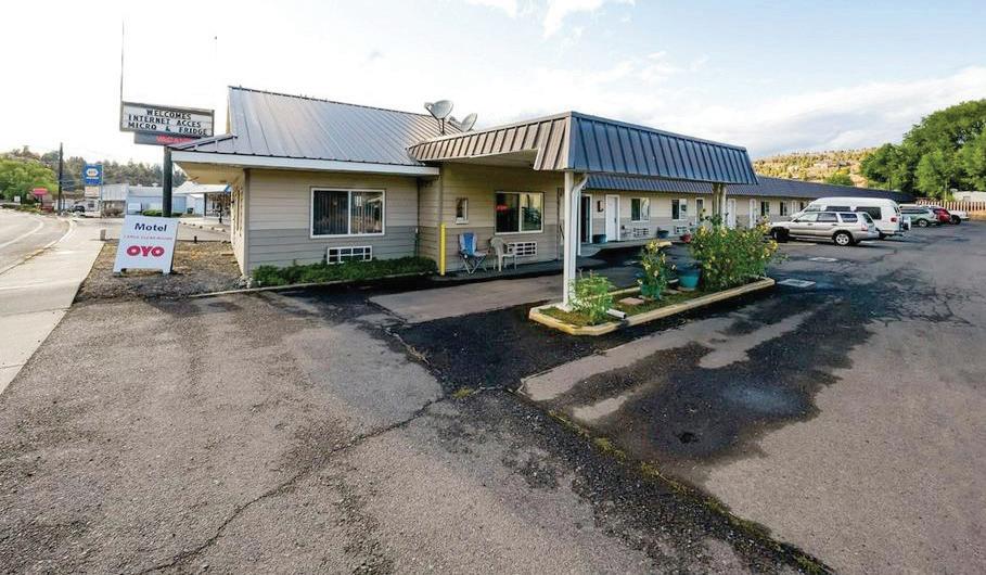
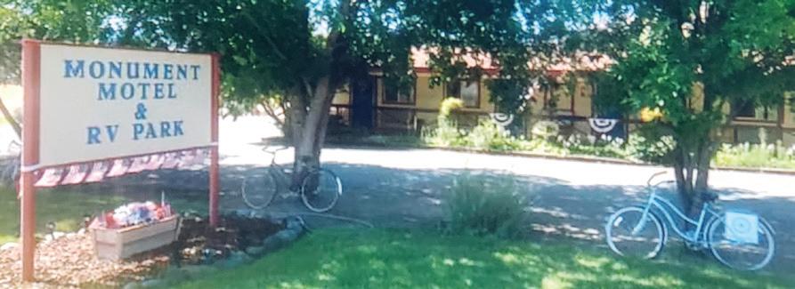
Elevation: 4,666 • Population: 175
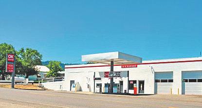
At an elevation of 4,666 feet, Seneca set the record for the coldest temperature ever recorded in Oregon — negative 54 degrees on Feb. 10, 1933 — earning the nickname “Oregon’s Icebox.” Homesteaders began moving into Bear Valley in the mountains of southern Grant County in the 1880s, but the arrival of the Edward Hines Lumber Co. established Seneca as a thriving logging town in the 1920s. Close to 200 people still call Seneca home, with local businesses offering food and fuel, and a new CyberMill with high-speed internet access. A community park features a baseball field, horseshoe pits, playground, picnic area and restrooms. With beautiful scenery and prime hunting grounds, Seneca is surrounded by abundant outdoor recreational opportunities in the Malheur National Forest. About 10 miles north of town is the Starr Ridge winter sports area, and about 5 miles south is the Retreat, Links & Spa at Silvies Valley Ranch.
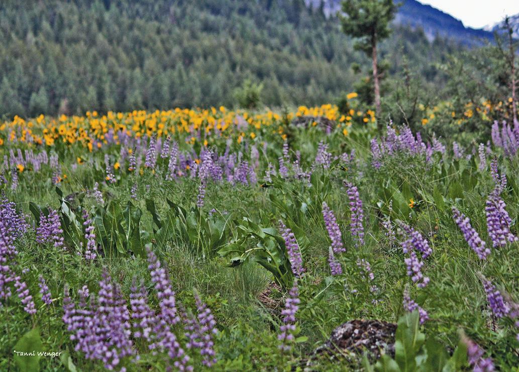
East of Seneca on Forest Road 16, the Malheur National Forest provides hiking, fishing, hunting, camping and sightseeing opportunities. Areas along Forest Roads 1619 and 15 are obsidian sources. Farther east in Logan Valley on the south side of the Strawberry Mountain Wilderness, vivid wildflowers paint the landscape in springtime, and wildlife is abundant year-round. To make a scenic loop around the wilderness, follow Forest Road 16 east from Seneca and turn north on County Road 62 to Prairie City, then take Highway 26 west to John Day.
Elevation: 2,000 • Population: 118
Tucked away in the northwest corner of Grant County, Monument is surrounded by beautiful scenery. Established along the North Fork of the John Day River, the area is rich in fertile ground and a variety of activities, including fishing, hunting, hiking, rafting and photography. Red, rocky outcroppings and Sunken Mountain are southeast of town, while Thomas Cavender Reservoir just west of town and Monument River Park to the south provide opportunities for water-based recreation. Meals are served weekly at the senior center, which also hosts community events, and businesses offer food and fuel. A large, shaded park in town features a playground, basketball and tennis courts, horseshoe pits and covered picnic areas. The town is known for its annual Fourth of July Fun Festival, including a small parade, activities throughout the day and a large fireworks display over the John Day River at dusk.
Elevation: 1,828 • Population: n/a
At the western edge of Grant County, far from the frigid peaks of the Blue Mountains, the town of Kimberly was established at the confluence of the John Day River and its North Fork. Kimberly’s low elevation provides a temperate Mediterranean climate with rich growing opportunities. A commercial orchard was established in the 1930s, and people today can still pick their own fruit at Thomas Orchards. Local businesses offer groceries and fuel, and the area features an abundance of scenery and recreational opportunities with river access.
The Sheep Rock Unit of the John Day Fossil Beds National Monument to the south provides beautiful views of geological formations, a variety of trails and historical artifacts. A bit farther north is the Morrow & Grant County OHV Park, with more than 200 miles of off-roading trails.



Grant County Health Department
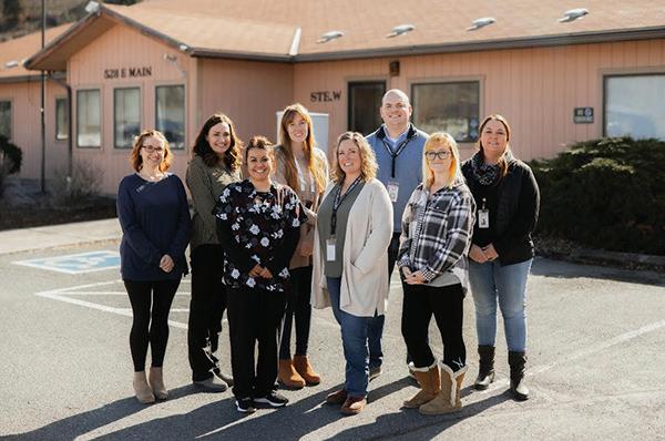


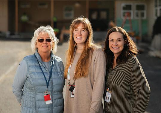
The Grant County Health Department provides a wide range of services with a focus on public health modernization. Services include collecting and reporting of health statistics, emergency preparedness planning, environmental health services - restaurant, pools and hotel inspections, health promotion and disease prevention, age-appropriate public health servicesimmunizations, maternal and child health services, WIC and communicable diseases testing and treatment. The Health Department also houses a Rural Health Clinic which allows us to provide primary care services.
Business Office Hours Monday-Friday 8-5 Phone 541-575-0429
Grant Union School-Based Health CenterLocated at the Grant Union Jr/Sr High School provides primary and behavioral health services onsite to all students and Faculty of Grant County Schools. The SBHC is staffed with a Family Nurse Practitioner and Mental Health Counselor.
911 S. Canyon Blvd John Day OR 541-575-0366 Tuesday-Thursday 9-2

Prairie City School-Based Community Clinic-located in the Bates Building at the Prairie City School is now open to see students and community members for primary care services including acute and chronic health care needs, sports physicals, and immunizations. 740 Overholt Ave Prairie City OR 541-844-4414 Call for an appointment