PUBLIC MEETING 05/10/2023
ACTION
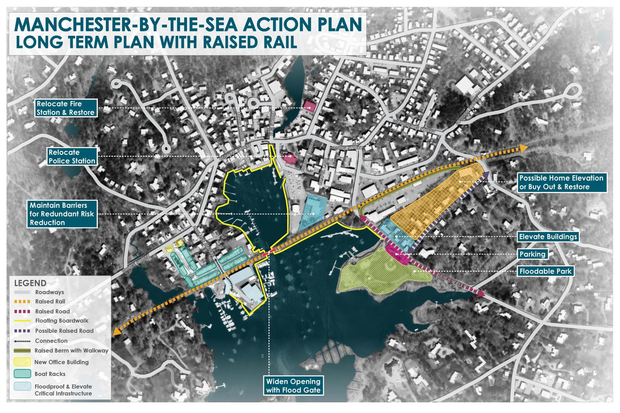
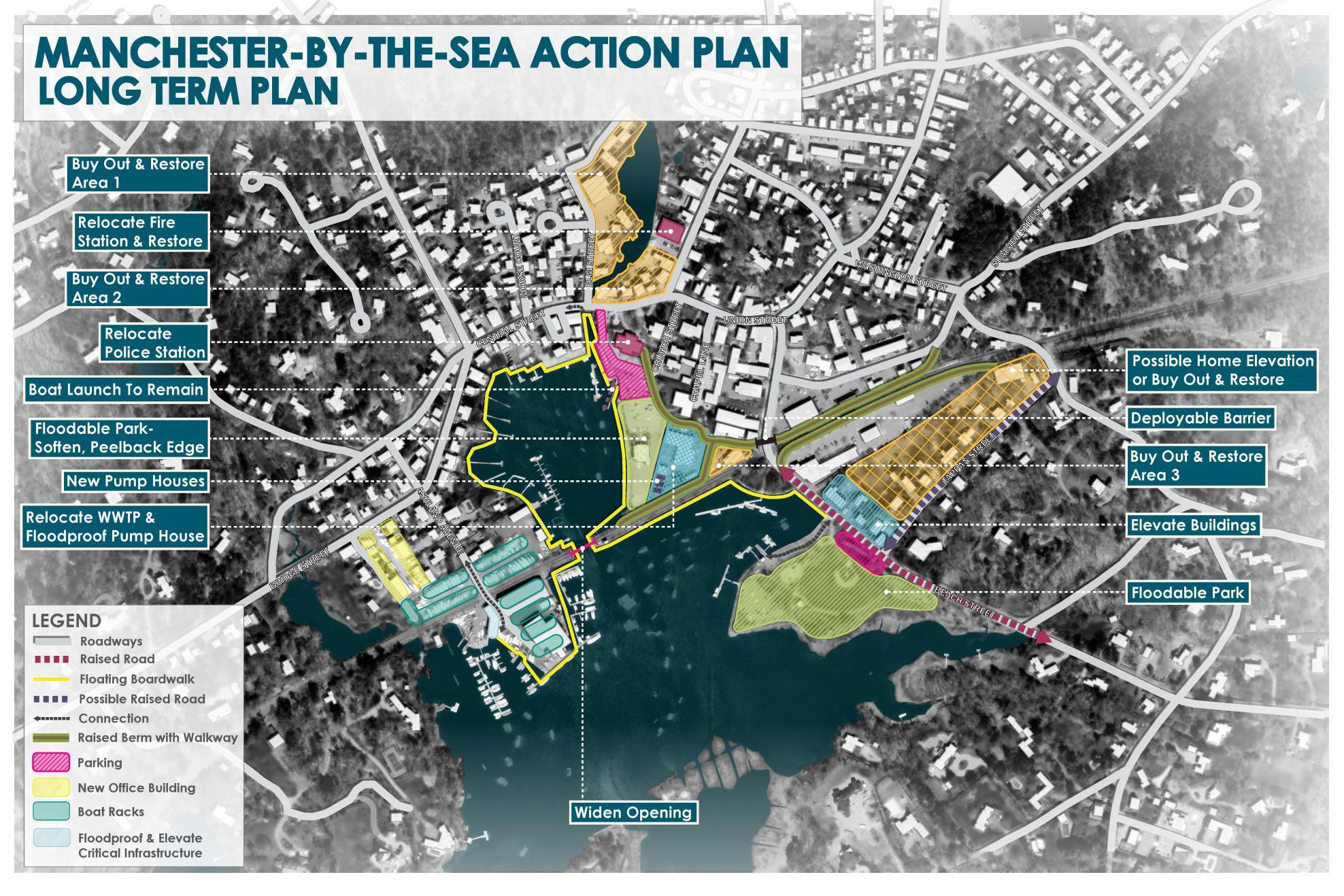
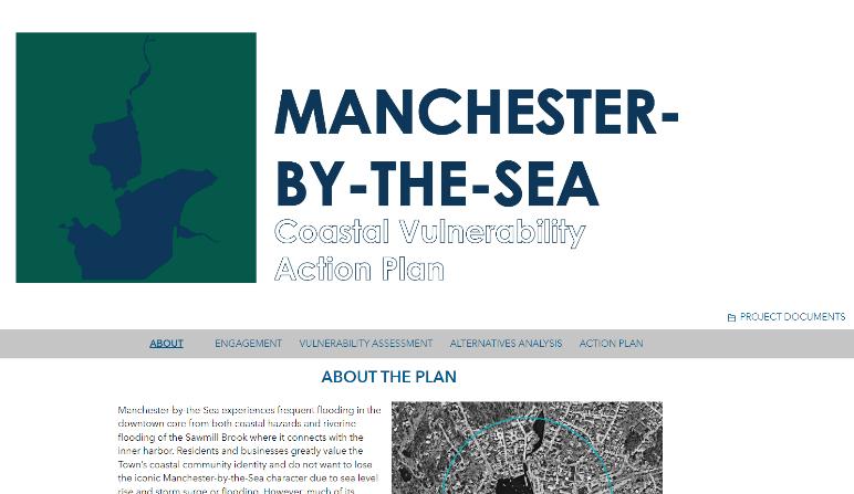
MANCHESTER-BY-THE-SEA | COASTALVULNERABILITY
PLAN

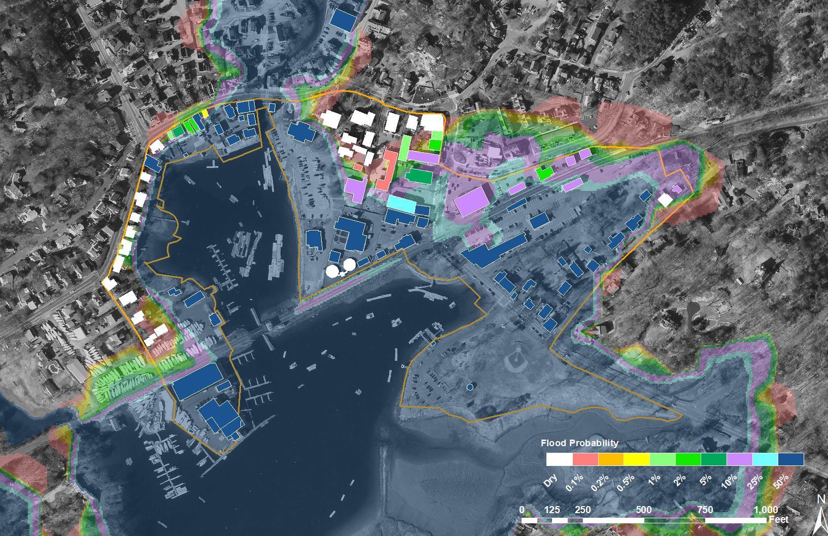
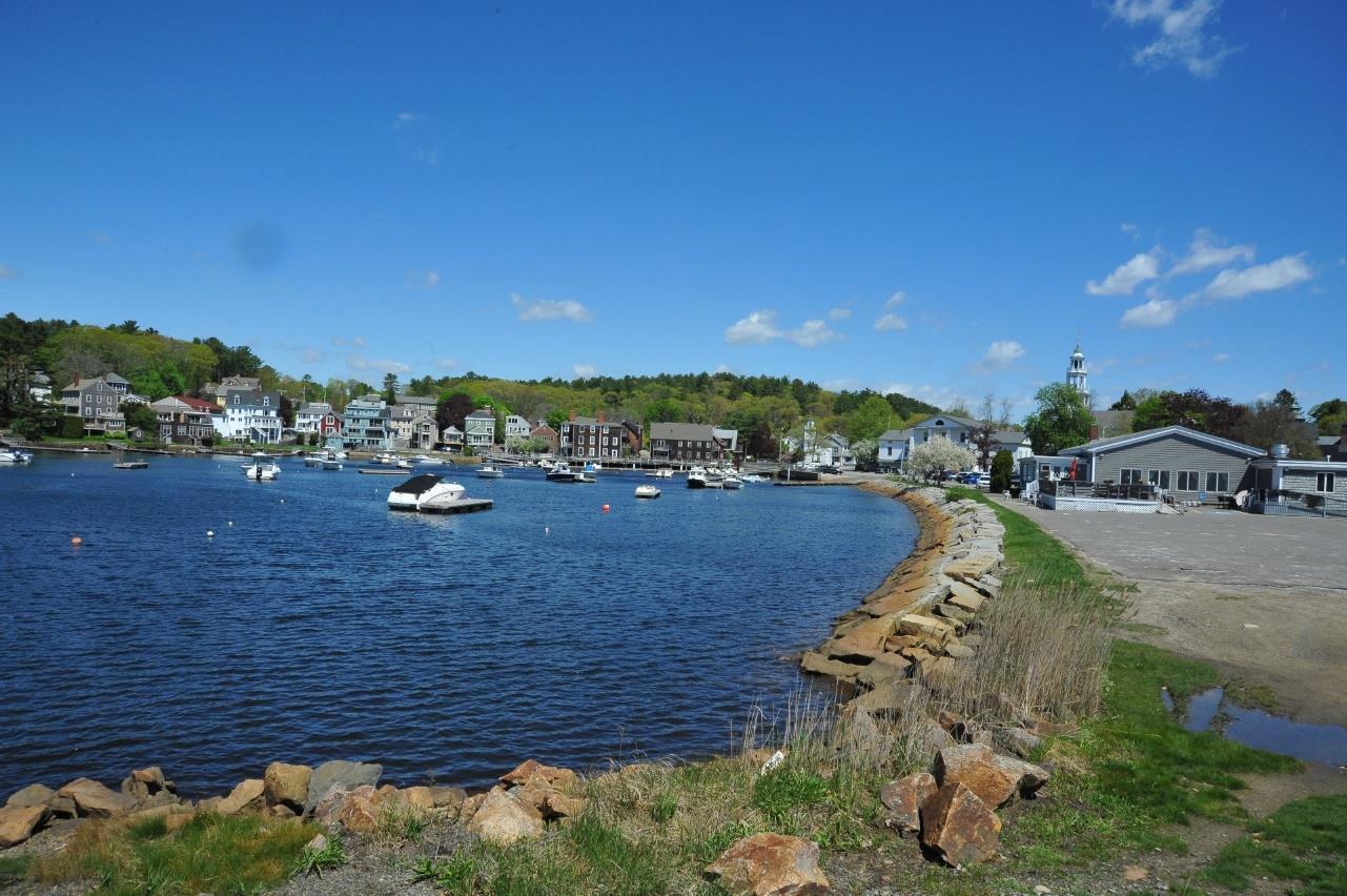
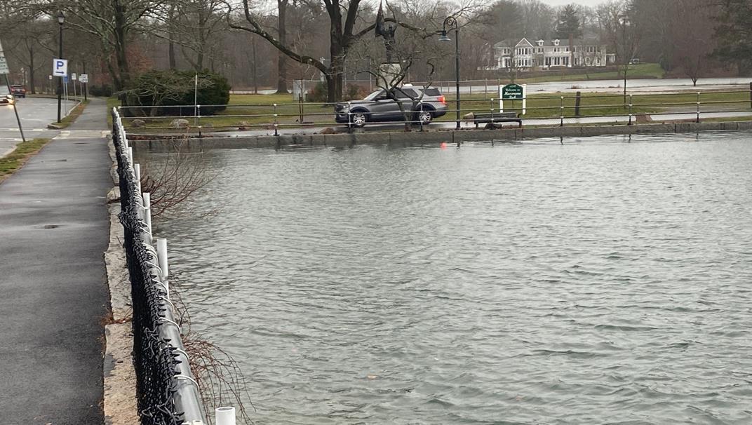
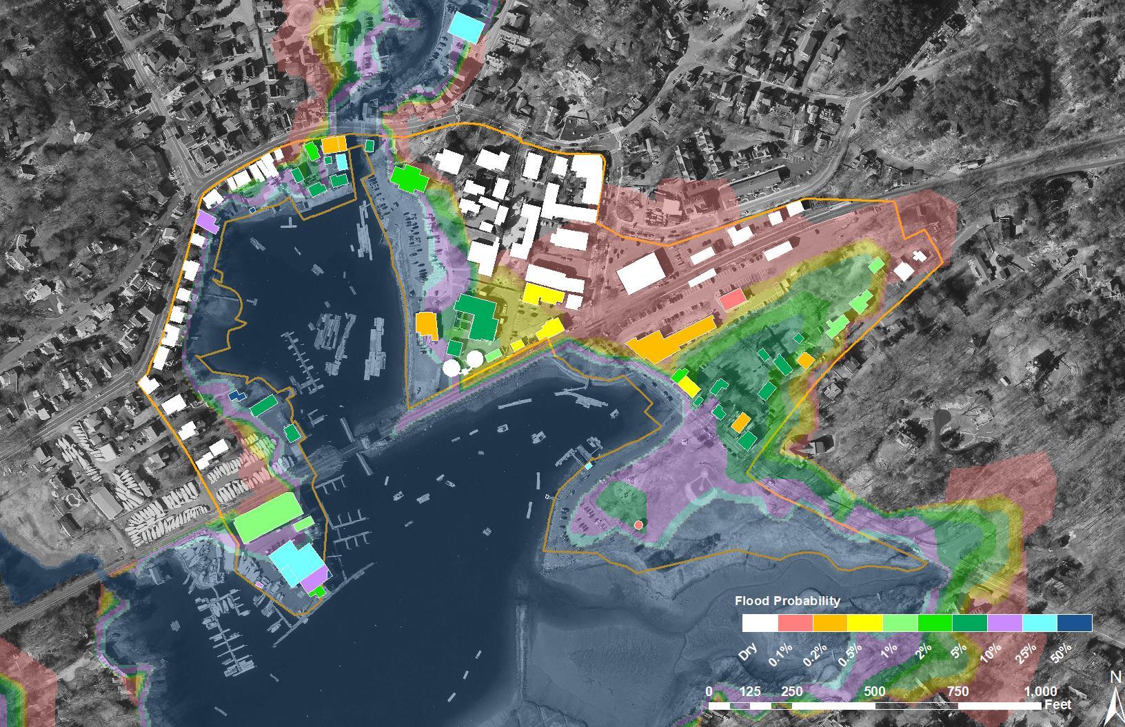
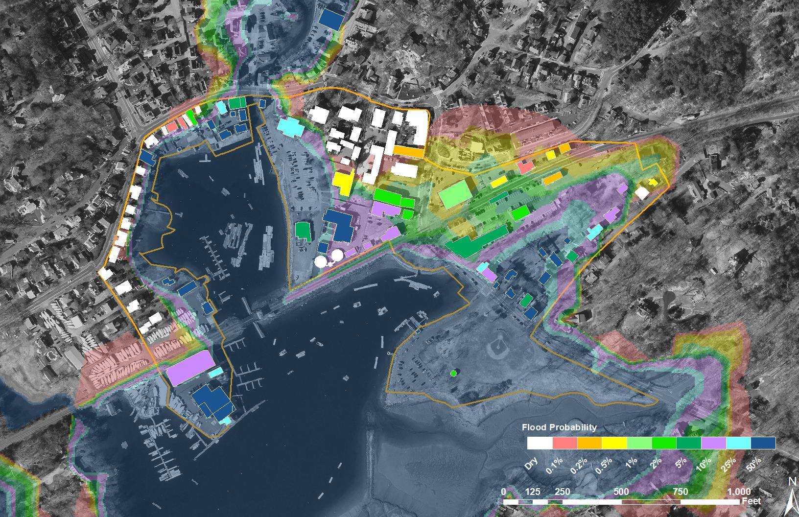
Manchester-by-the-Sea experiences frequent flooding in the downtown and inner harbor area
Critical infrastructure is at lower elevations
Plan will provide a roadmap to reduce coastal flood risks and increase coastal resilience

Build upon past studies
Develop a phased approach to establishing action-oriented mitigation measures
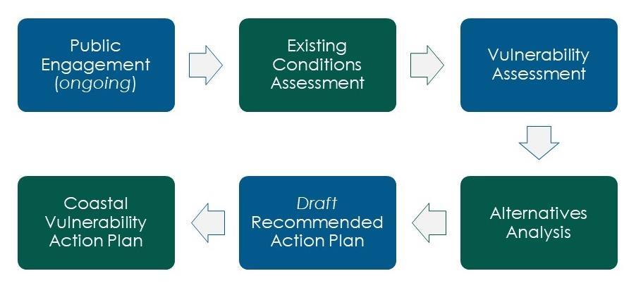
(NOV 2022 – FEB 2023)
(JAN – APR 2023)
(JUN 2023)
(APR – JUN 2023)
(APR – MAY 2023)
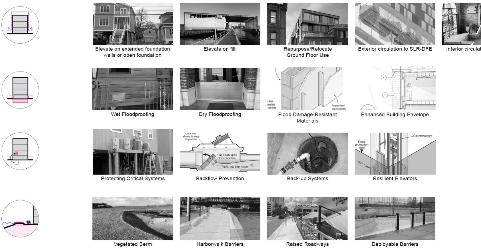
Identify potential neighborhood-scale and sitescale alternatives
Maximize the potential of nature-based and hybrid design approaches
Propose phasing of improvements
Building Form +
Access
Building
Adaptation
Building Systems Site

(Credit: Modified from Boston Planning & Development Agency, Coastal Flood Resilience Design Guidelines)
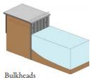
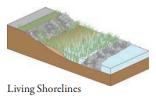
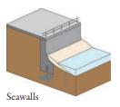
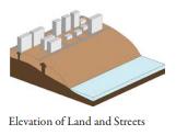
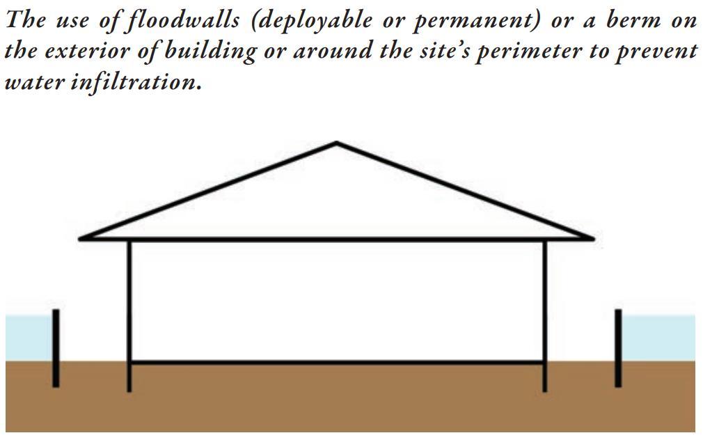
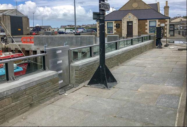
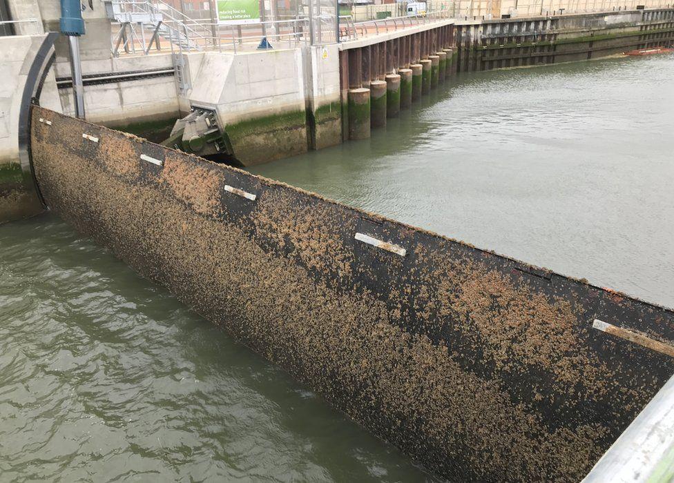
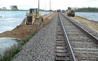
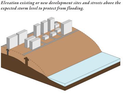
Protect (hardened infrastructure)
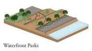
Protect (natural or nature-based infrastructure)


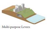
Protect (hybrid infrastructure)

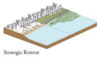
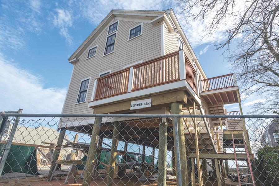
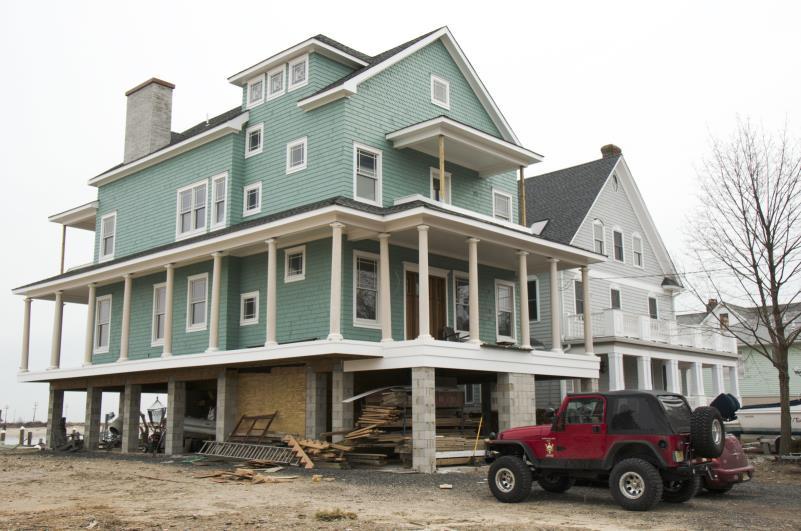
Relocate/Retreat
(Credit: Modified from NYCPlanning, Coastal Climate Resilience Urban Waterfront Adaptive Strategies)


Neighborhoods-scale
Masconomo Park/Days Creek
Tappen Street/Beach Street Neighborhood
Manchester Marine
Site-scale
Wastewater Treatment Plant (WWTP)
Town Hall (incl. Police Station)
Manchester Fire Department
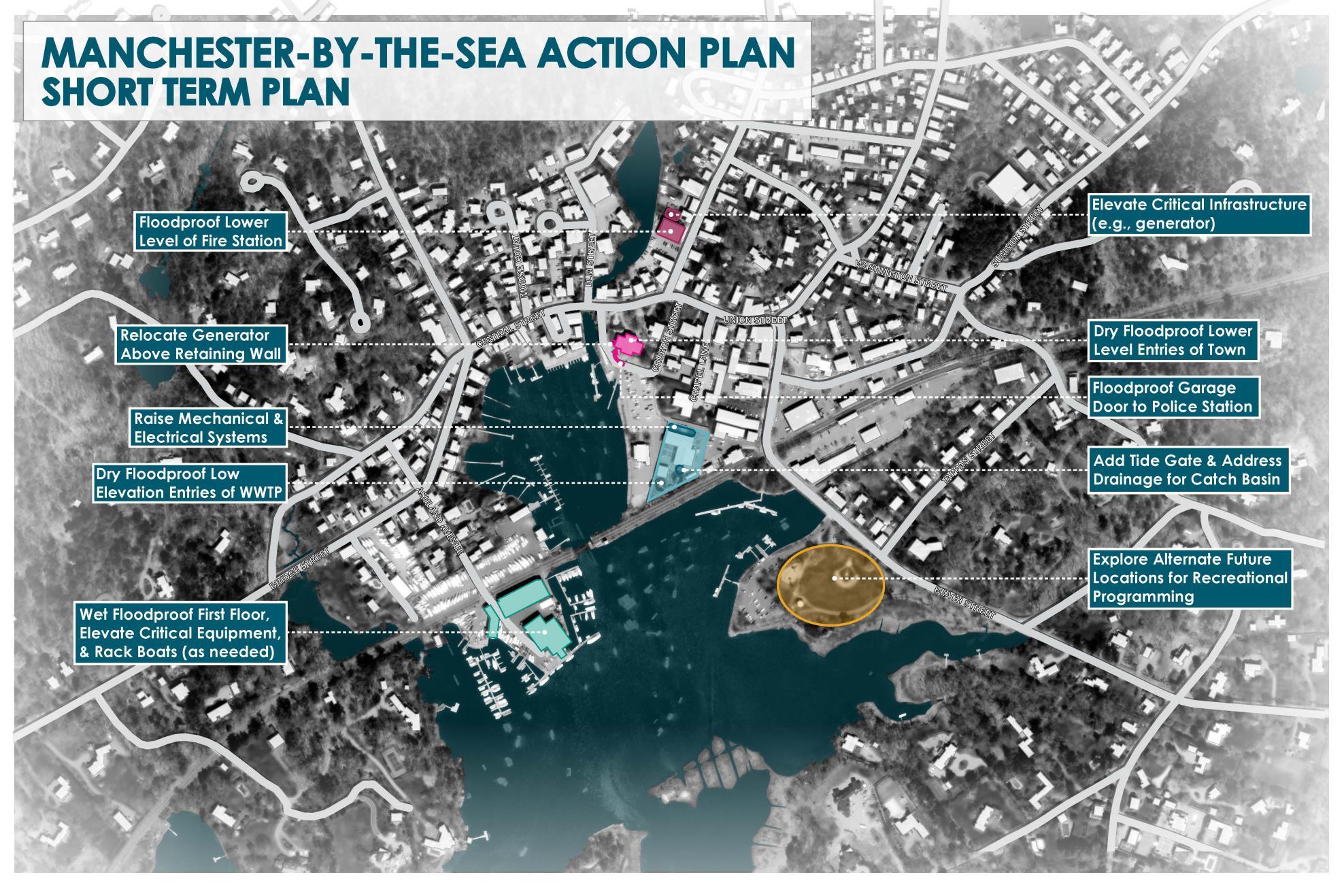

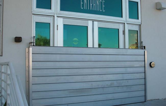

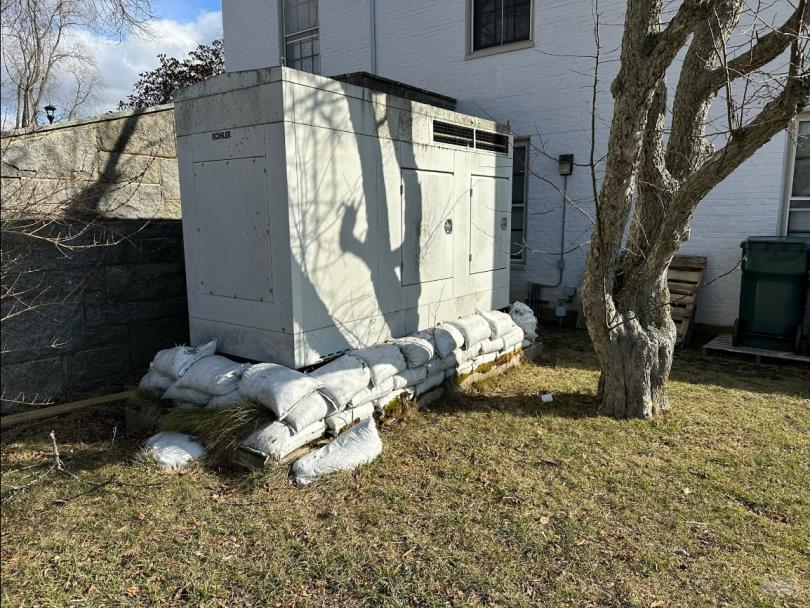
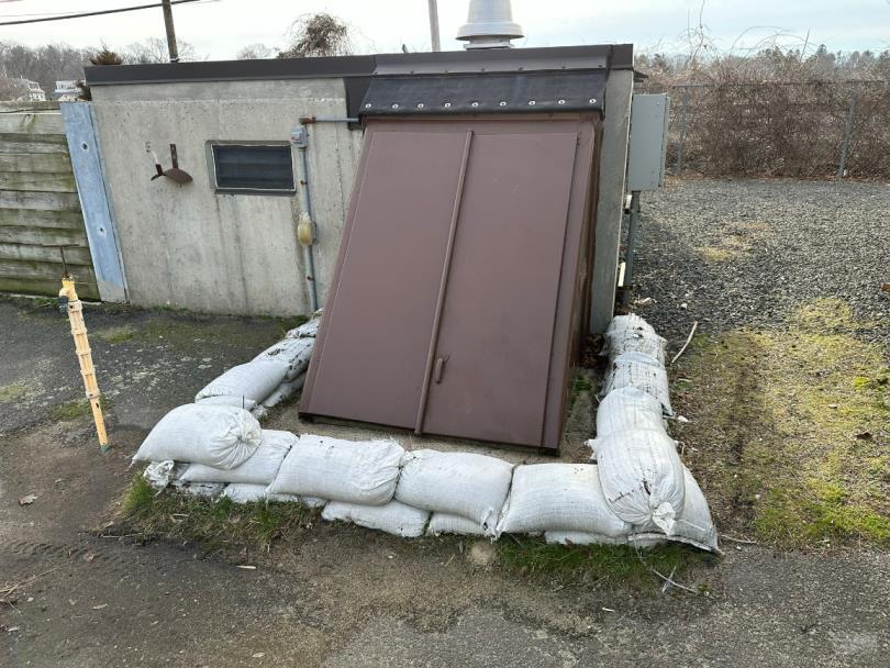 Image Credit: FEMA
Image Credit: National Flood Protection
Image Credit: FEMA
Image Credit: FEMA
Image Credit: National Flood Protection
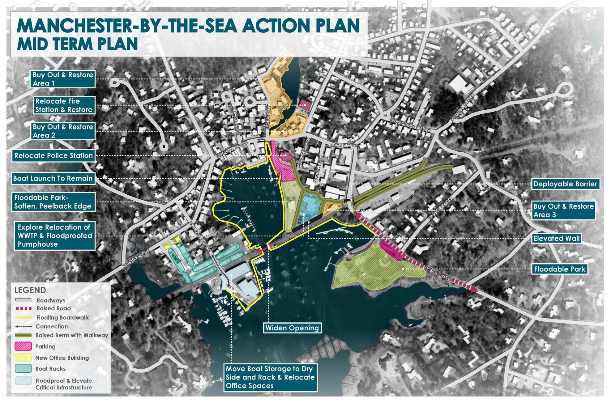
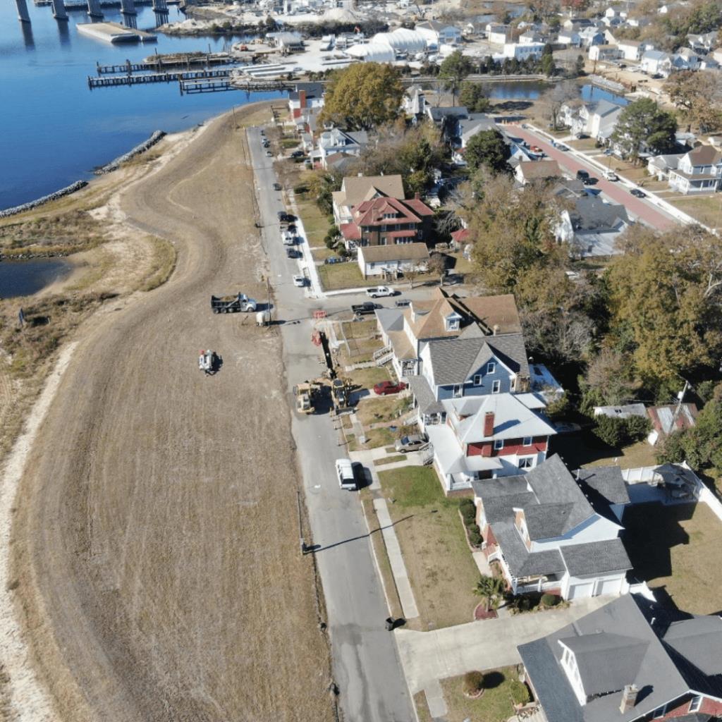
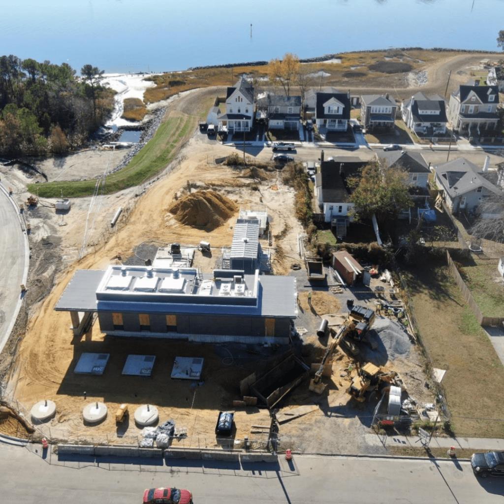 Image Credit: City of Norfolk,VA


Highlands, NJ
Image credit: Rosanna Arias (FEMA)
Scituate, MA
Image credit:Wicked Local
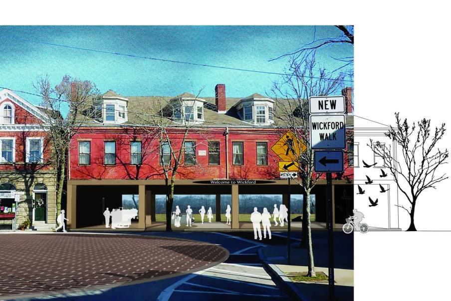
Provincetown, MA
Image credit:The Provincetown Independent
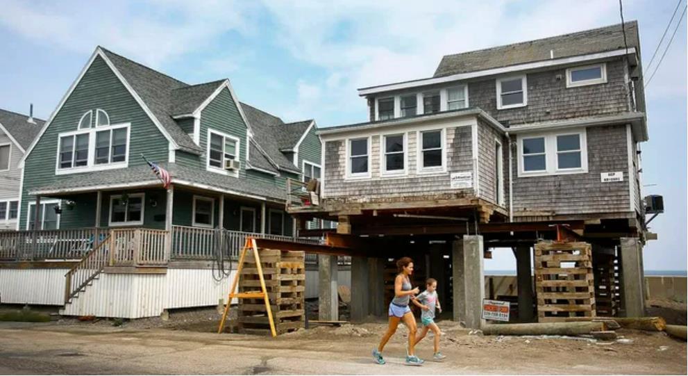
Image credit:Troy Schleich and Ruth Shiferaw of Syracuse University School of Architecture

 Seattle,WA
Image credit: Marion Brenner
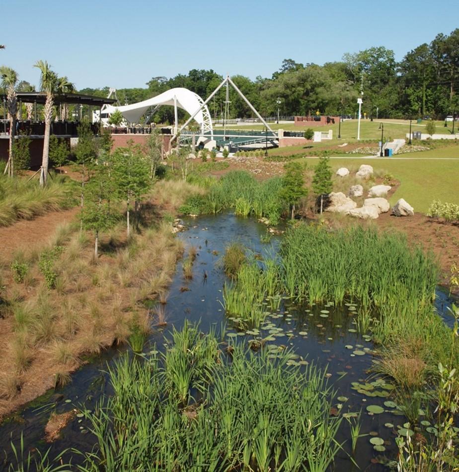
Tallahassee, FL
Image credit: Halff
Seattle,WA
Image credit: Marion Brenner
Tallahassee, FL
Image credit: Halff

Thank you for your time and we look forward to engaging with you as the project moves forward
Contact:
Alex Maxwell, Resilience Planner | Project Manager, Fuss & O’Neill: amaxwell@fando.com Joseph Famely, Climate & Sustainability Team Lead | Woods Hole Group: jfamely@woodsholegroup.com
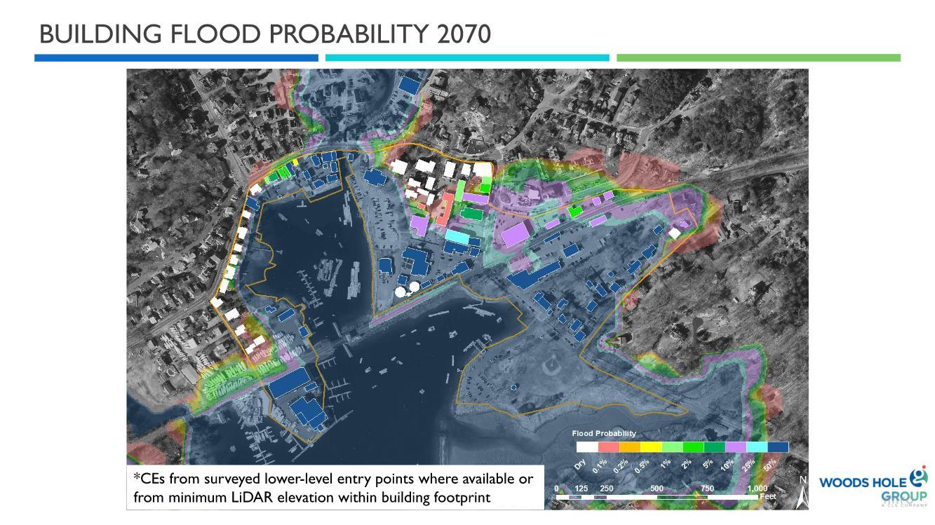
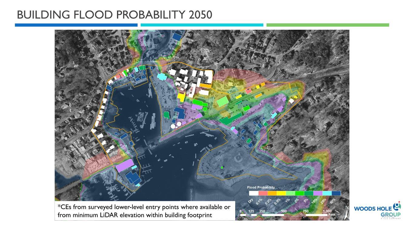
*CEs from surveyed lower-level entry points where available or from minimum LiDAR elevation within building footprint

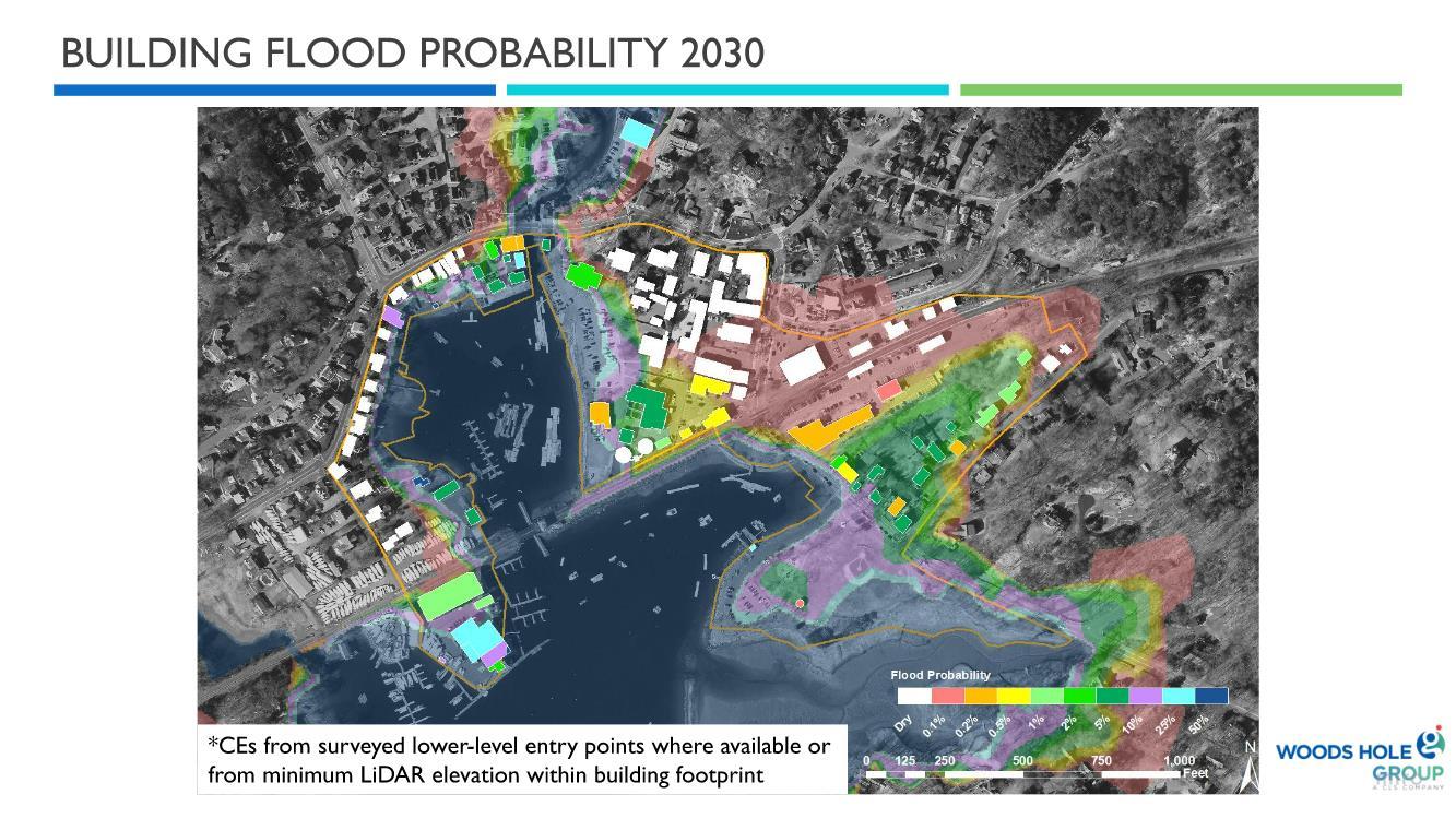
*CEs from surveyed lower-level entry points where available or from minimum LiDAR elevation within building footprint
*CEs from surveyed lower-level entry points where available or from minimum LiDAR elevation within building footprint