on an ancient land along the Bytham River. Once upon a time,


on an ancient land along the Bytham River. Once upon a time,

Today’s Britain mainland used to be connected with the European continent about 500,000 years ago, this caused humans to spread north through the plain that is now the North Sea. Is believed that the first humans, followed the course of an ancient river called Byham River which lead to the first ancient human settlements on the Midlands. Human evidence of this event consist of a quartzite flake and four axes which are belived are believed to be part of a temporary camp by hunters.
Ancient Britain’s extinct animals remains have shown evidence of cave lions, shrews, bisons, mammoths, wolves, deers, aurochs and hippos presence around Britain’s land. Focused on the midlands area, the landscape depended on its proximity to the Bytham River. Along the river, there were reed swamps, further away there were water meadows. On plains, the landscape consisted in dry grassland plains, and in in higher grounds mainly pine and spruce.
From a systematic perpsective, life before humans was designed by the most experienced architect ever lived: mother nature. Back then, living organisms where a key component on a well built system which forced living organisms to evolve in order to evolve according to their context needs. Living organisms where dependent one from each other, all the organism where related somehow in order for them to survive, the chain couldn’t be destroyed. The concept we now know as food was the reason for all living organisms survival outcome, and when they obtained their food they became food for another living organism and they were all part of a perfect system.
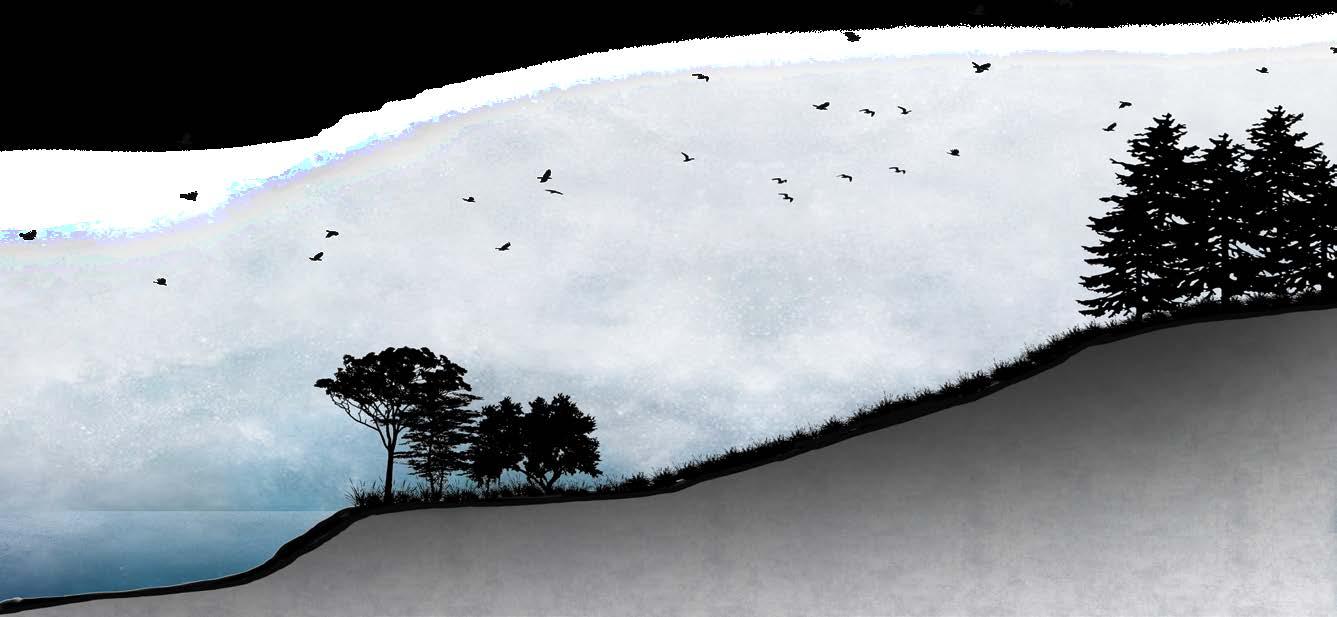

The Comerian Stage is known as a interglacial stage on Earth with dates about 2,600,000 t0 11,700 years ago. In the following grahpic shows the behaviour of two important rivers that took place in today’s Britain land. The Bytham River is an ancient River located in Britain’s West and East Midlands. The river’s stream started near today’s Birmingham, went trough Leicester and Norwich heading all the way into the Northerh Sea. South of the Bytham River, the Thames River stream starts near today’s Oxford going through to London, heading also to the Northern Sea like the Bytham River. Today’s Birmingham geography, is heavly influenced by the existance of the Bytham River, giving birth to actual rivers that Birmingham hosts like the Rea River and the Tames River, creating a whole new ecosystem built by meadows, grasslands, and forests.

Society realized that they were living a compromising lifestyle, people had become techonology-dependent on their daily activities. Food resources weren’t even authentic organic matter, water was the most expensive liquid on Earth. Societies were aware of differences but they didn’t cared about each other’s needs and they adopted a survival mindset.
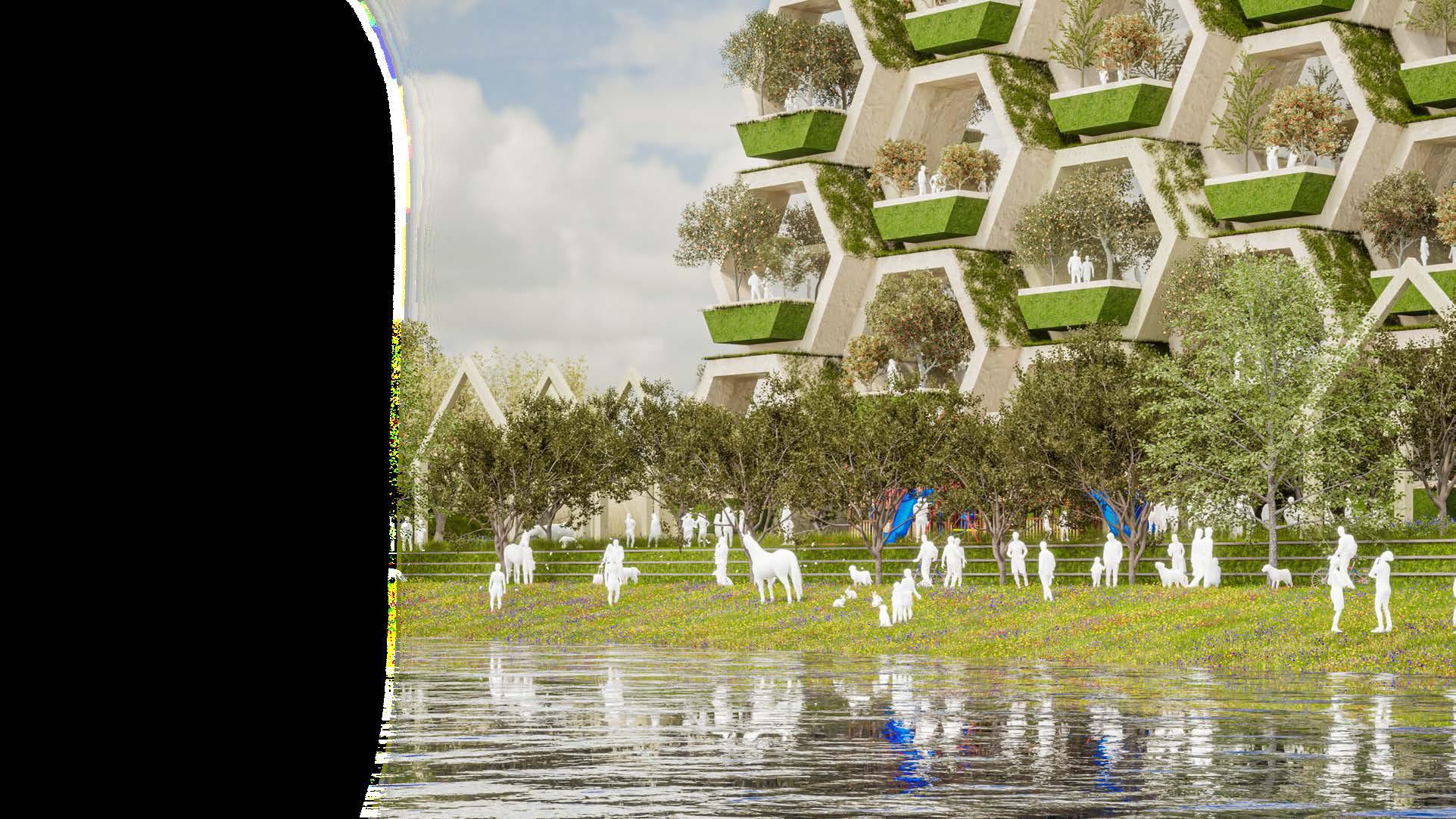
But, humans changed when they met the extinction border. And every single concept of their lives evolved into a sustainable manner, food, society, building, activities, psychology, education, etc. Life at 2200.
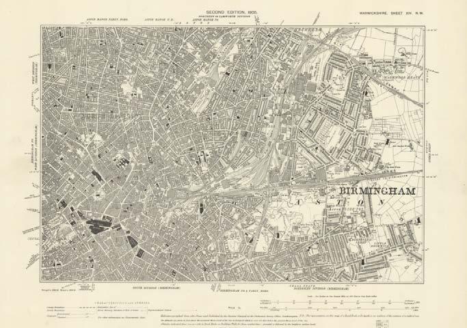
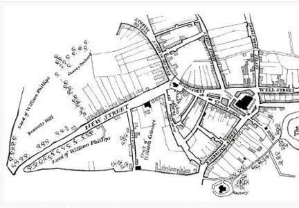
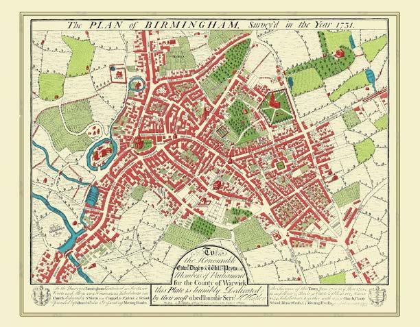
Through History from 14th century to 21th century.
Birmingham is considered to be the second largest city in England. It originated as a saxon settlement. It evolved into a city in the early 12th century. The lord of the manor Peter de Birmingham was granted the authority to organise a weekly market in Birmingham by the king 1166. Once a market was established, merchants and artisans moved to Birmingham, which quickly grew into a bustling small town. But, humans changed when they met the extinction border. And every single concept of their lives evolved into a sustainable manner, food, society, building, activities, psychology, education, etc.
Throughout the 18th century, Birmingham’s industry thrived. Metalworking of many types blossomed in town. Birminghammade items included shoe buckles, blades, pins, nails, screws, bolts, and buttons. Some artisans created brass accessories such as coffin handles. In addition, there were also a lot of gunsmiths and locksmiths. Birmingham saw a glass manufacturing boom in the late 18th century. Meanwhile, Sarehole Mill was constructed in 1765.
The Big City Plan sits at the heart of Birmingham’s citywide growth agenda supporting the vision of Birmingham as a growing, global city with a local heart. The central thrust of Birmingham’s growth agenda is to secure signifi cant and sustainable population growth throughout the city, underpinned by economic and employment growth and the provision of high quality infrastructure, learning facilities and local services. It represents a unique opportunity to secure the long-term viability and competitiveness of Birmingham as a whole for the benefit of future generations.
In order to experience a real feel of Birmingham’s spirit, atmosphere, and context some specific sites were visited to detect pathologies in these specific sites. This visit, allowed the authentic perception of Birmingham’s daily life, and the following sites caused specific senses and feelings that could give place to pathologies diagnosis.
The Spaghetti Junction was built in 1972 as a transportation route that conects 6 M6 highways that expand over the UK. Unfortunately, this infrastructure caused big and solid boundaries between neighboring communities arround the junction, through dark and empty voids underneath and trhoughout the structure.
Currently, the River Tame is located through a pathway covered by solid and unfriendly boundaries that prevent people go through the river. The river’s bottom, as well like it’s boundaries are covered by thick concrete.
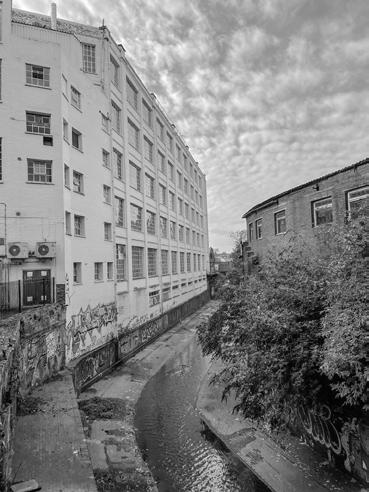
Digbeth is located near Birmingham’s City Centre, but this short distance feels like a journey to another city. Today, Digbeth is a bohemian neighborhood filled with street art, urban markets, restaurants, bars and entertainment venues related to nightlife. Digbeth, is located along the Rea River but this river is completely blocked by high and solid walls, preventing the river to coexist with the urban context.
Balsall Heath is located along residential neighborhoods, the Rea River flows along this area, and the river keeps part of it’s wild state. The river’s boundaries are made up by green wild lands along the river, but these lands are covered by low and transparent fences that stop people form walking along the river.
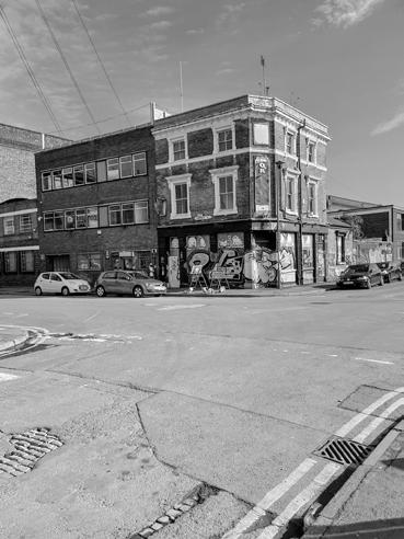
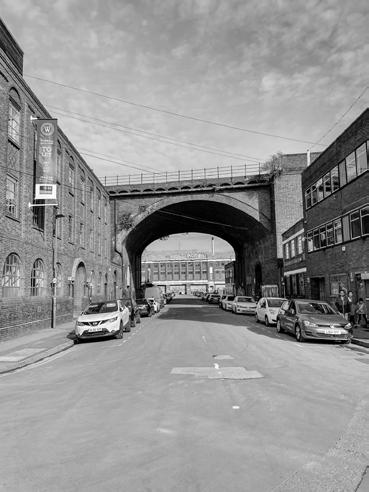
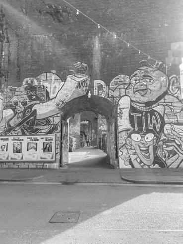

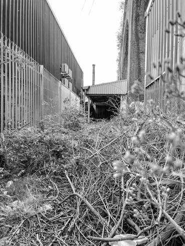
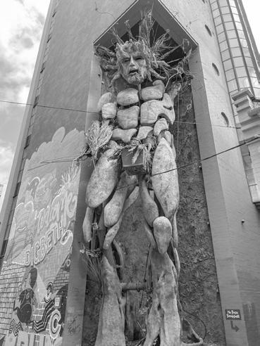
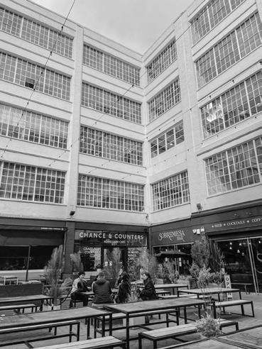
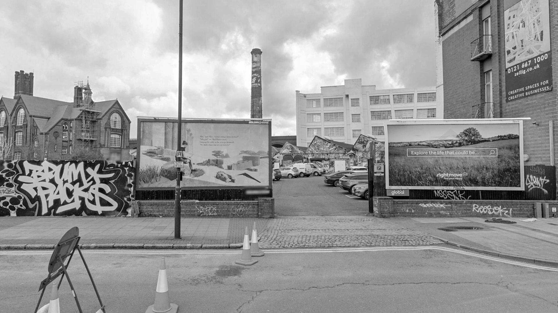
The name comes from duck bath, apparently there is a river here somewhere.
The most interesting parts, are the ones you can’t get to.
The tall walls kept us thinking, does the river even exists?
And there she was, magnificent, but decorated by the most inaccessible experts.
We are sorry, Beorma.
But, Rea can’t hide forever.
