7 minute read
OUR FOCUS AREAS Principal Pedestrian Networks for our centres


#1: PRINCIPAL PEDESTRIAN NETWORKS
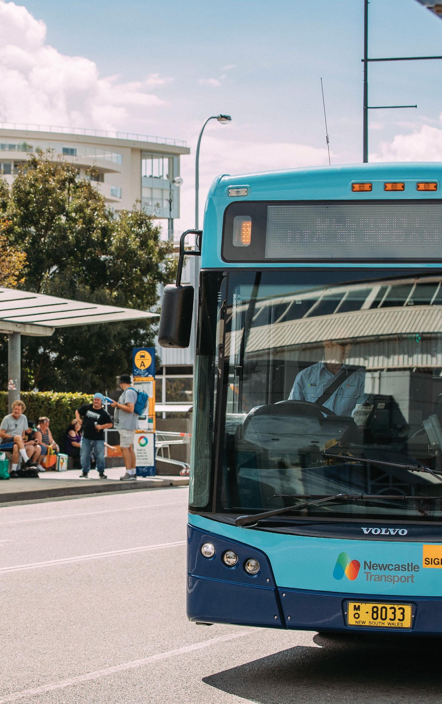
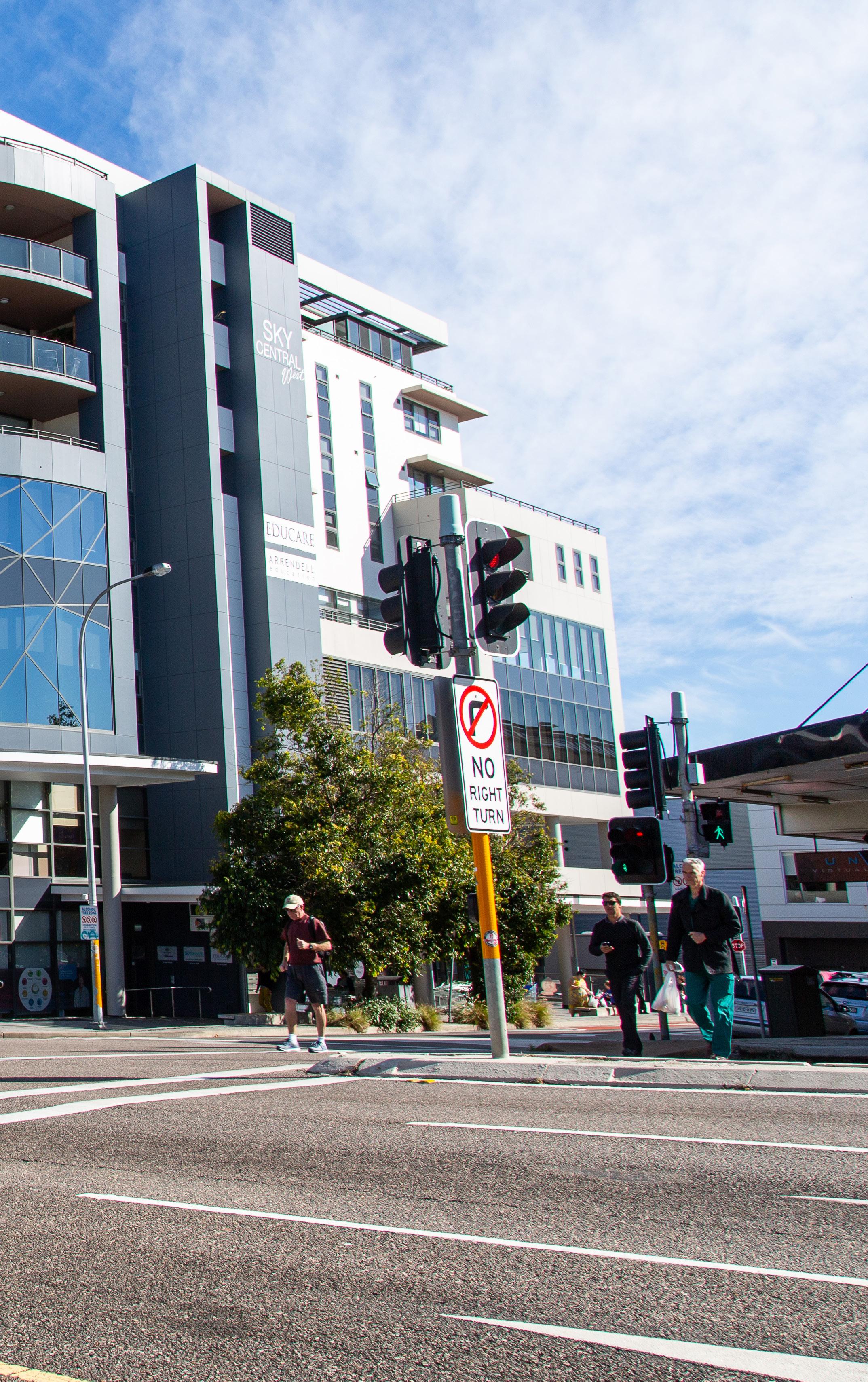
Principal Pedestrian Networks have been defined for the City’s nine larger economic centres and many smaller local centres, where most people live, visit, work and play. These areas typically include older neighbourhoods, many built at a time when streets did not require footpaths. Being closer to shops, services, schools, workplaces, community facilities and train stations, these areas include streets and routes frequently used by pedestrians. People will generally walk or use assisted mobility for 10-15 minutes to access local shops and services, depending on their age, health, the walking environment and the weather. Principal Pedestrian Networks are based on walking distances of 10 minutes to the edges of local centres and 15 minutes to economic centres. In some cases, Principal Pedestrian Networks may extend to include routes to important destinations slightly beyond 10-15 minute walking distances. Principal Pedestrian Networks generally do not include no-through streets, as pedestrian and traffic volumes are much lower. The exception is where a no-through street connects to a trip generating destination such as a school, club, train station, etc., or the land is zoned for medium density housing.
KEY DESIGN PREFERENCES
check-circle Direct and convenient check-circle Highly legible, easy to follow check-circle Pedestrians have right of way priority where safe and possible check-circle Feels safe, benefits from passive surveillance check-circle Leafy and shaded check-circle Meets disability accessibility standards
MAP 1: PRINCIPAL PEDESTRIAN NETWORKS
MORISSET GLENDALE
WARNERS BAY CARDIFF
CHARLESTOWN
TORONTO MOUNT HUTTON
BELMONT
SWANSEA Schools Train Stations Principal Pedestrian Network Built footpaths North West Catalyst Area
For the latest status of the network (constructed / not constructed) refer to our digital maps at
lakemac.com.au
IDENTIFYING PRIORITIES
We will target missing link footpaths and priority crossing facilities based on: check-circle centres that have less complete footpath networks but more people living within the 10 or 15 minute Principal Pedestrian Network check-circle more popular walking routes (see over page) check-circle streets with higher traffic speeds and volumes check-circle extent of existing paths check-circle crossing facilities without connecting paths check-circle NSW crash history data and information on verge safety check-circle alignment with other larger capital works check-circle distance to secondary destinations outside of a centre’s core. Secondary destinations include housing or premises for seniors or people with disability, schools, clubs, community facilities and holiday parks, parks and playgrounds, bus stops, train stations, beaches, scenic shared pathways and commercial and employment areas other than urban centres. We will target projects in both economic centres and local centres. Comparing larger economic and smaller local centres is difficult due to their difference in size. Council has adopted the strategy of growing and activating our local centres to provide jobs and services closer to where people live. For local centres, we will target centres with diverse services more likely to attract walking activity. Important services include supermarkets/ grocers, medical centres/pharmacies, cafés/takeaways, clubs/pubs, post-offices, libraries and community centres. We will fast-track 40kmh or less high pedestrian activity areas where extensive traffic management infrastructure is not required, in line with NSW Government directions. We will also build footpaths outside of Principal Pedestrian Networks—see Other City-wide improvements and support.
ACTIONS Ongoing
check-circle Develop and refine a digital mapping tool to assist with identifying popular routes and priority footpath and crossing facilities, based on our prioritisation criteria identified with Council’s Active Transport Advisory Group check-circle Review and seek community feedback on popular routes when preparing/revising area specific plans check-circle Investigate/review 40kmh or less ‘high pedestrian activity areas’ for streets servicing commercial areas
1-5 years
check-circle Review and align local development controls and guidelines with updated local planning guidance for streets and footpaths* check-circle Embed Safe System road safety assessments in road-related infrastructure projects and provide staff training in the Safe System approach* check-circle Provide up to date online information about current capital works projects and publish fact sheets on how Council prioritises pedestrian improvements
5-10 years
check-circle Implement pedestrian way-finding signage in economic centres *See Planning for People, Movement and Places
POPULAR WALKING ROUTES TO ECONOMIC AND LOCAL CENTRES
Popular walking routes are direct routes used more often (or used more often if made more appealing) to get to a centre and other nearby destinations. If a street or thoroughfare is identified to be more popular than surrounding links, this will elevate the street as a priority for pedestrian improvements. Popular routes may change over time with urban development, the opening and closing of commercial premises, new community facilities or changes to road conditions.

URBAN CENTRE CORES
Council has adopted Streetscape Master Plans and Technical Guidelines to provide more detailed guidance on public domain and safety improvements on main streets and certain adjoining streets within the inner cores of economic and local centres. These guide the capital works program and the delivery of public infrastructure by private developers.
15 min walk based on street network and other links
Urban centre core
Secondary destinations (schools, community facilities, clubs, parks and playgrounds, beaches and foreshore areas)

FOUR-YEAR DELIVERY PROGRAM PRIORITIES INFRASTRUCTURE GAPS
#2: THE PRINCIPAL BICYCLE NETWORK AND ICONIC LINKS
The Greater Newcastle Future Transport Plan 2056 proposes regional cycling routes for the metropolitan area, based on past collaboration between Lower Hunter councils and the community-led CycleSafe Network proposal for Newcastle and northern Lake Macquarie. Based on community feedback and planning for future growth, our strategy expands on these to propose a 254km Principal Bicycle Network (PBN) for Lake Macquarie. This will connect key destinations including shopping and employment areas, schools and other places of education, and major parks and scenic attractions. In 2021, 85km of the network has been established. A further 9km is under investigation and 2km under construction. An additional 33km is expected to be delivered through private development and NSW Government State Road upgrades. Our strategy proposes regional routes (such as the Coastline Cycleway from Swansea to Newcastle, including the Fernleigh Track) and sub-regional routes (such as Swansea to Caves Beach). Sub-regional routes service large, sometimes isolated residential areas or key regional destinations, such as major beaches or the Lake Macquarie Museum of Art and Culture.
ICONIC LINKS
Iconic links are unique sections of shared paths and cycling routes that have outstanding scenic and cultural qualities that are difficult to replicate. They encourage locals and visitors to cycle (and walk) by virtue of these characteristics. Examples include: check-circle the Fernleigh Track, Fernleigh Awabakal
Shared Track and Blacksmiths to Coon Island,
Swansea check-circle Eleebana Lions Park to the Museum of Art and
Culture, via Red Bluff, Eleebana to Booragul check-circle Fassifern to Toronto Greenway (rail trail) check-circle Wallsend to Speers Point, via Cockle Creek and the Tramway Track. Other possible links, subject to further investigation and costing, include: check-circle Bareki Road, linking Thomas H. Halton Park to
Eleebana Lions Park check-circle Green Point, Valentine check-circle Richmond Vale Rail Trail check-circle Fernleigh Track to Dudley Rail Trail check-circle Kilaben Bay to Rathmines Park check-circle Catherine Hill Bay Heritage Trail check-circle Cockle Creek to West Wallsend Rail Trail check-circle Awaba Station-Wangi Wangi Rail Trail
KEY DESIGN PREFERENCES
check-circle Low-stress, family-safe (infrastructure that separates people from traffic, or shared streets with low traffic speeds and volumes) check-circle On-road provisions for faster more confident cyclists check-circle Direct and convenient check-circle Highly legible, easy to follow check-circle Continuous treatments and smooth surfaces check-circle Right of way priority where safe and possible check-circle Feels safe, benefits from passive surveillance check-circle Leafy and shaded check-circle Design respects location, environment and heritage check-circle Meets accessibility standards where paths are also catering to non-bicycle users
MAP 2: PRINCIPAL BICYCLE NETWORK
Regional routes
Coastline Cycleway: Swansea to Newcastle (via Fernleigh Track); Swansea to Central Coast Richmond Vale to Fernleigh Track (via Charlestown) Belmont to Toronto (Northern Bays Way), Wangi Wangi, Morisset Warners Bay to Broadmeadow, Mayfield Speers Point to University, Newcastle* Morisset Peninsula to Cooranbong Northlakes Way (Glendale, Edgeworth, West Wallsend, Cameron Park) Warners Bay to Redhead Beach Richmond Vale to University, Newcastle* Maitland to University*

*Refer to City of Newcastle’s Cycling Strategy Appendix 1 provides more detail on Principal Bicycle Network routes.
Possible future link to Awaba Mountain Bike Park
MORISSET TORONTO To University of Newcastle
GLENDALE
WARNERS BAY CARDIFF
CHARLESTOWN To Newcastle
Glenrock State Recreation Mountain Bike Area
MOUNT HUTTON
BELMONT
SWANSEA
To Central Coast Local and economic centres
Schools Train Stations Principal Bicycle Network
North West Catalyst Area Existing and potential iconic links subject to further investigation
For the latest status of the network (constructed / not constructed) refer to our digital maps at